






Schloss Höch Winter Circular Route (7)
Úroveň obtížnosti: 3
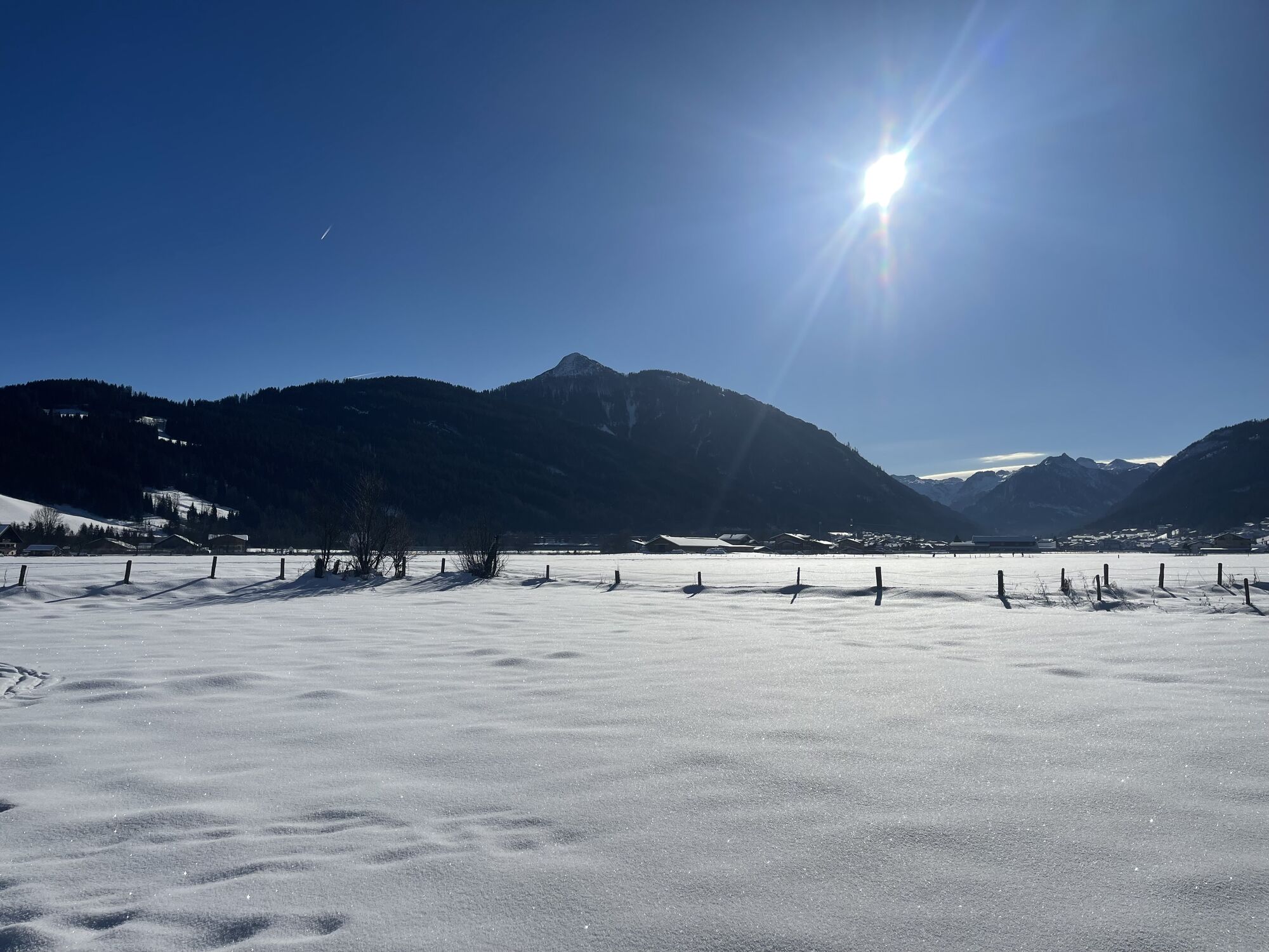
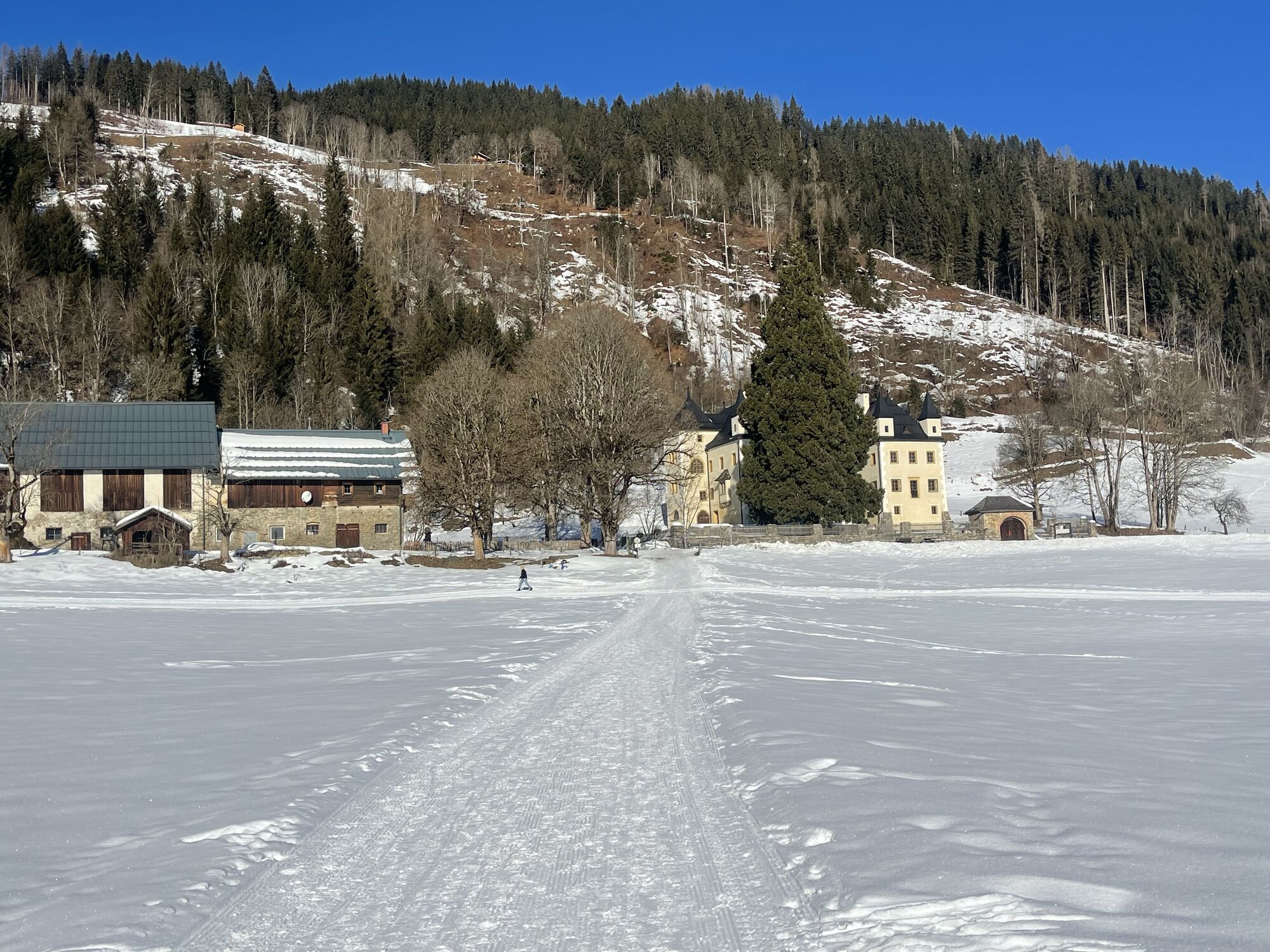
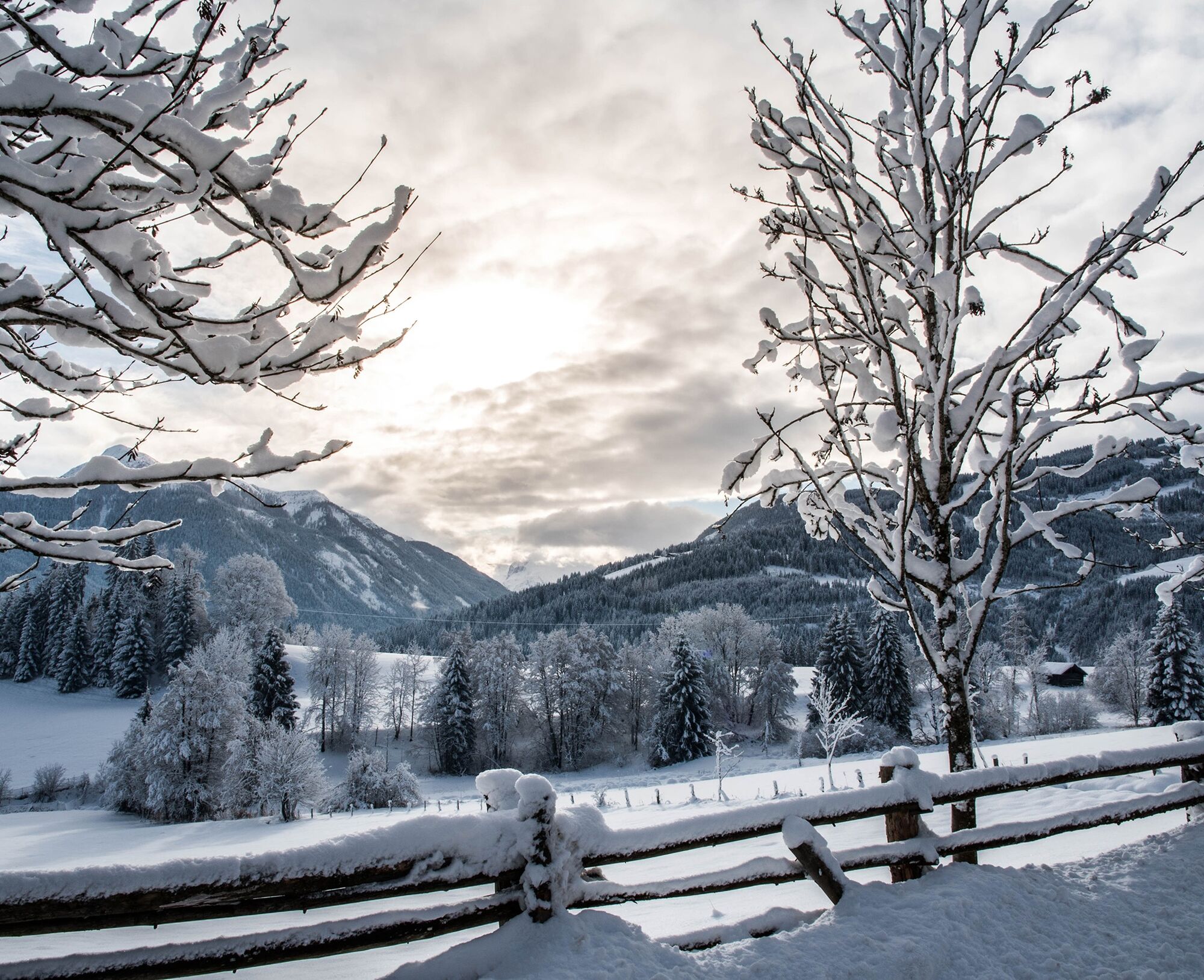
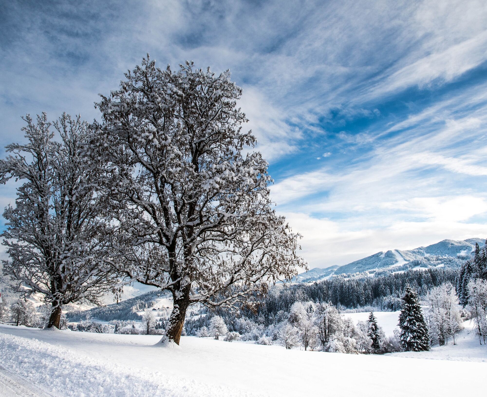
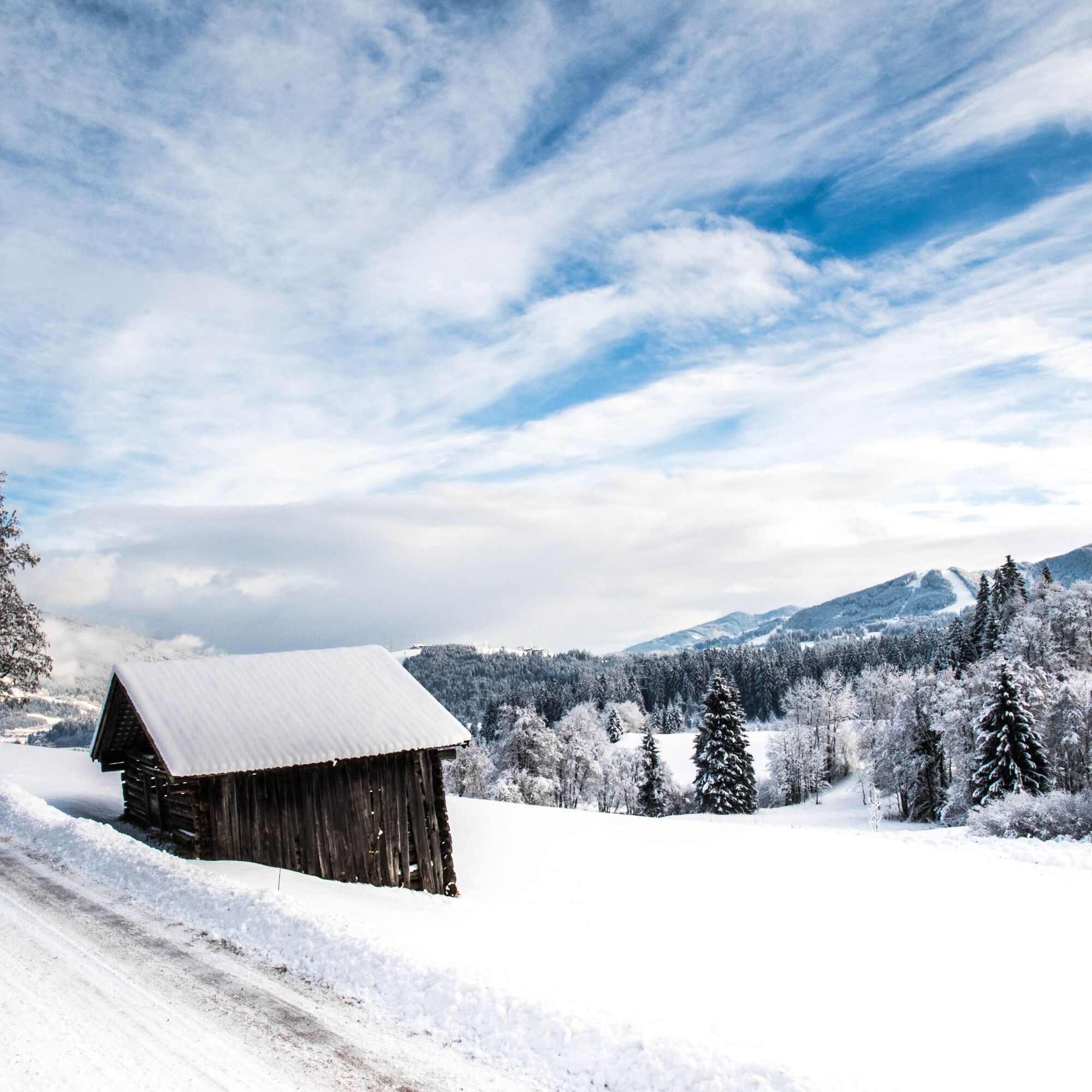
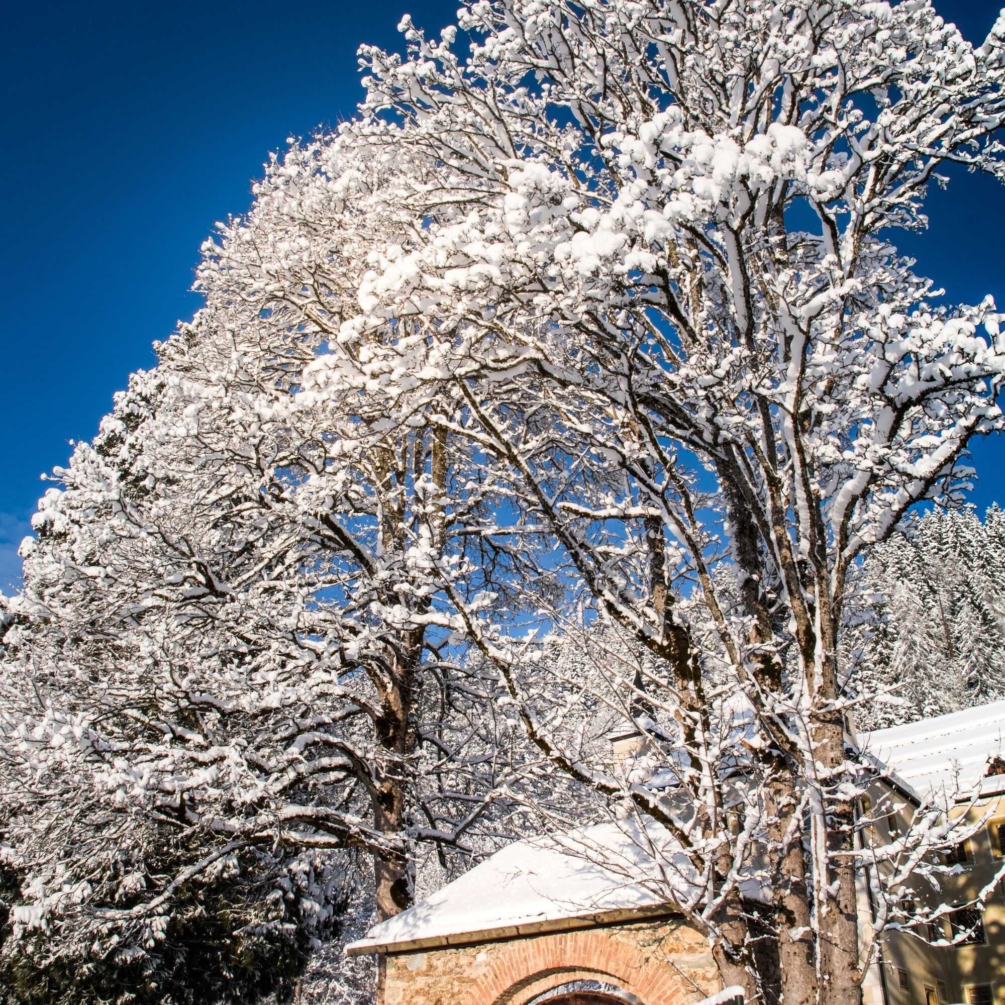
This route to Schloss Höch is a romantic, peaceful, and family-friendly winter hike in the Radstadt Tauern. Stroll quietly past the beautiful Schloss Höch through the idyllic winter landscape. Away from...
This route to Schloss Höch is a romantic, peaceful, and family-friendly winter hike in the Radstadt Tauern. Stroll quietly past the beautiful Schloss Höch through the idyllic winter landscape. Away from the bustle of the slopes and traffic noise, you can enjoy the peace on this route.
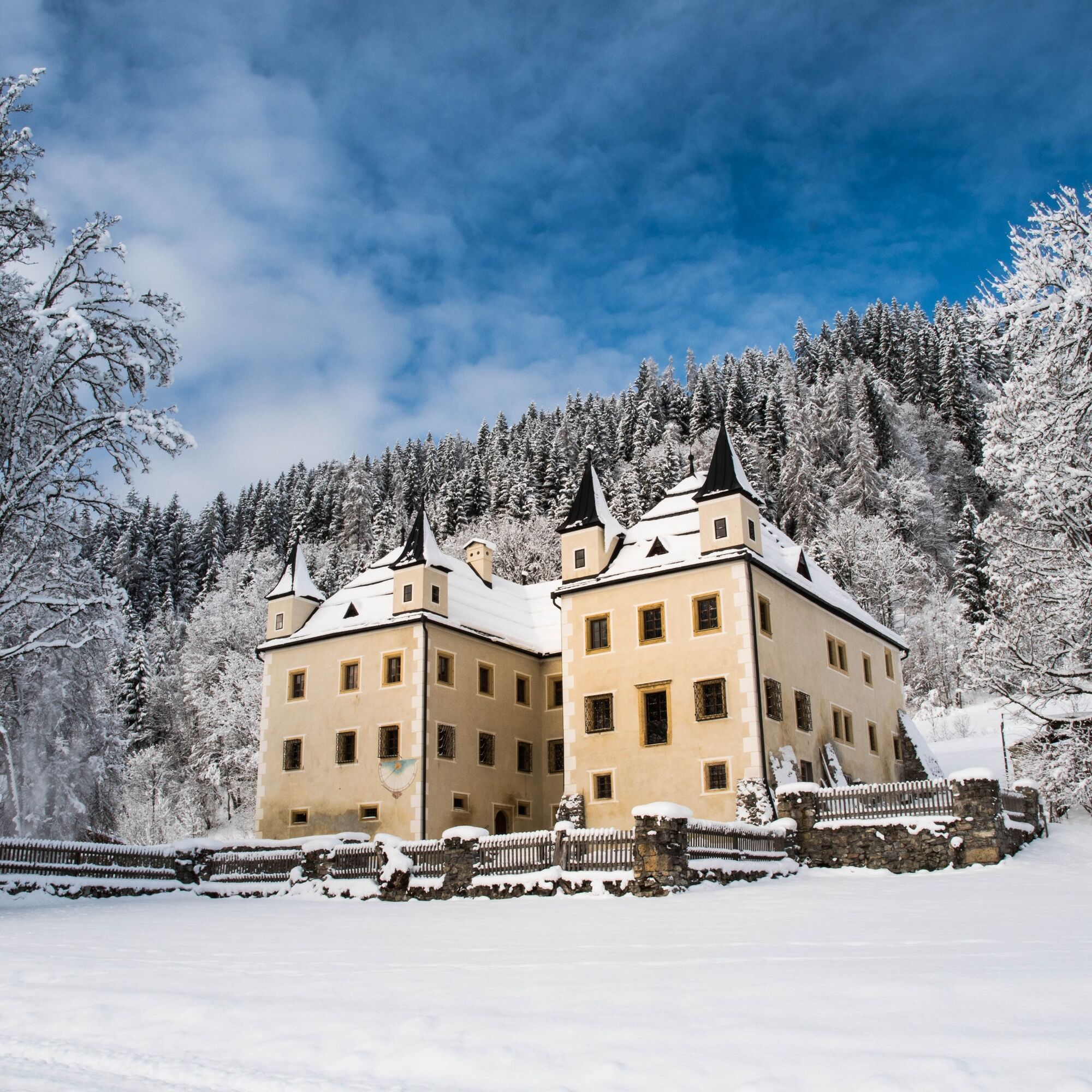
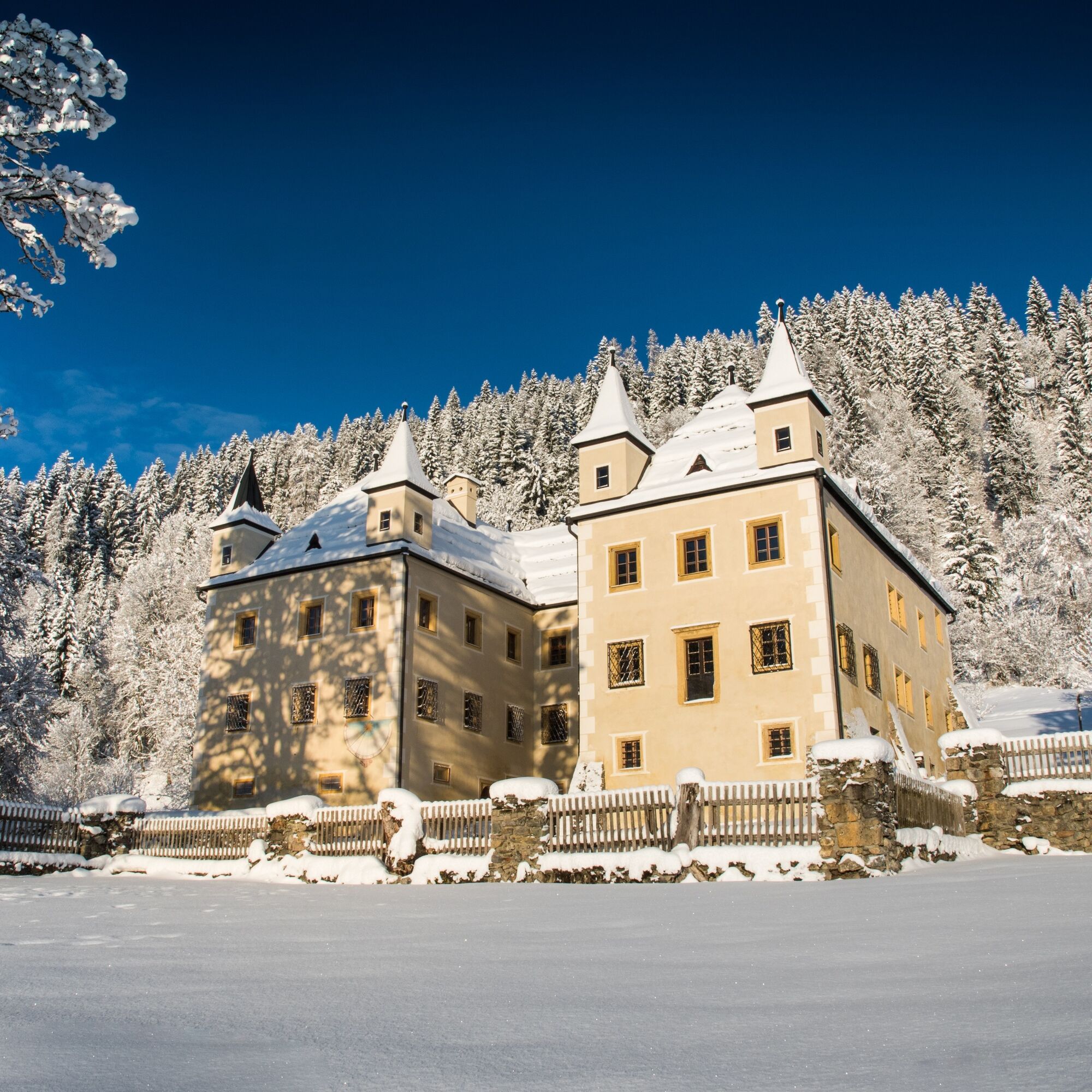

Municipal office in the Flachau district of Reitdorf - along the cycling and winter hiking trail towards Wagrain - turn right at the Schnell sawmill - partly along the cross-country ski trail to "Schloss Höch" - past the Reitdorf swimming lake and back to the starting point - Flachau municipal office
Ano
very good, non-slip footwear
Be careful in shady spots, as the ground can be icy there.
On hikes without places to stop, be sure to bring enough provisions.
A mobile phone and possibly a hiking map are recommended.
Check the weather forecast beforehand and turn back in time if the weather worsens.
For all dog owners: Keep your dog on a leash and ensure it behaves calmly.
The starting point for the Schloss Höch winter circular route is in the Reitdorf district at the municipal office.
public postbus or ski bus to Flachau/Reitdorf municipal office
Info on bus times: www.salzburg-verkehr.at
Reitdorf swimming lake or at the municipal office
3
More about winter hiking in Flachau can be found at:
https://www.flachau.com/winter/outdoor-winter/winterwandern/
Information about the local weather:
At the Flachau tourist information, you can obtain a hiking map with information about this route.

 Získejte přehled
Vždy živě na místě s více než 9 500 webkamerami. bergfex Jako uživatel Pro si nyní můžete zobrazit odpovídající webové kamery pro mnoho prohlídek v aplikaci prohlídky z. Můžete si tak přímo prohlédnout aktuální podmínky.
Získejte přehled
Vždy živě na místě s více než 9 500 webkamerami. bergfex Jako uživatel Pro si nyní můžete zobrazit odpovídající webové kamery pro mnoho prohlídek v aplikaci prohlídky z. Můžete si tak přímo prohlédnout aktuální podmínky.

Oblíbené prohlídky v okolí
-
4.9
Werfenweng Mountainbikerunde Söldenhütte
středníMountainbike 18.8 km -
4.6
Ski route Lackenkogel
středníLyžařská trasa 7.82 km -
4.8
Liechtensteinklamm mit Helix
světloTematická stezka 3 km -
5.0
4-Gipfel-Tour
středníHorská turistika 6.40 km -
4.2
Großarl: Unterwandalm - Karseggalm - Breitenebenalm
středníTuristika 5.93 km -
4.8
Grossarl: Gründegg
středníTuristika 9.58 km -
4.8
Gerzkopf
středníTuristika 8.43 km -
4.3
Ennskraxn (2410m)
heavyTuristika 14.7 km -
4.3
Ski tour Red 8er Wagrain
středníLyžařská trasa 4.12 km -
5.0
Strimskogel-Runde
Turistika 13 km
Pěší turistika a stopování


Nenechte si ujít nabídky a inspiraci pro vaši příští dovolenou
Vaše e-mailová adresa byl přidán do poštovního seznamu.





