







Großarl: Unterwandalm - Karseggalm - Breitenebenalm

Ascent via the service road (shortcuts through the forest can also be taken) to the Unterwandalm. Here on the alm they often play music and sing. The herdsman (=senner) plays his accordion while you enjoy...
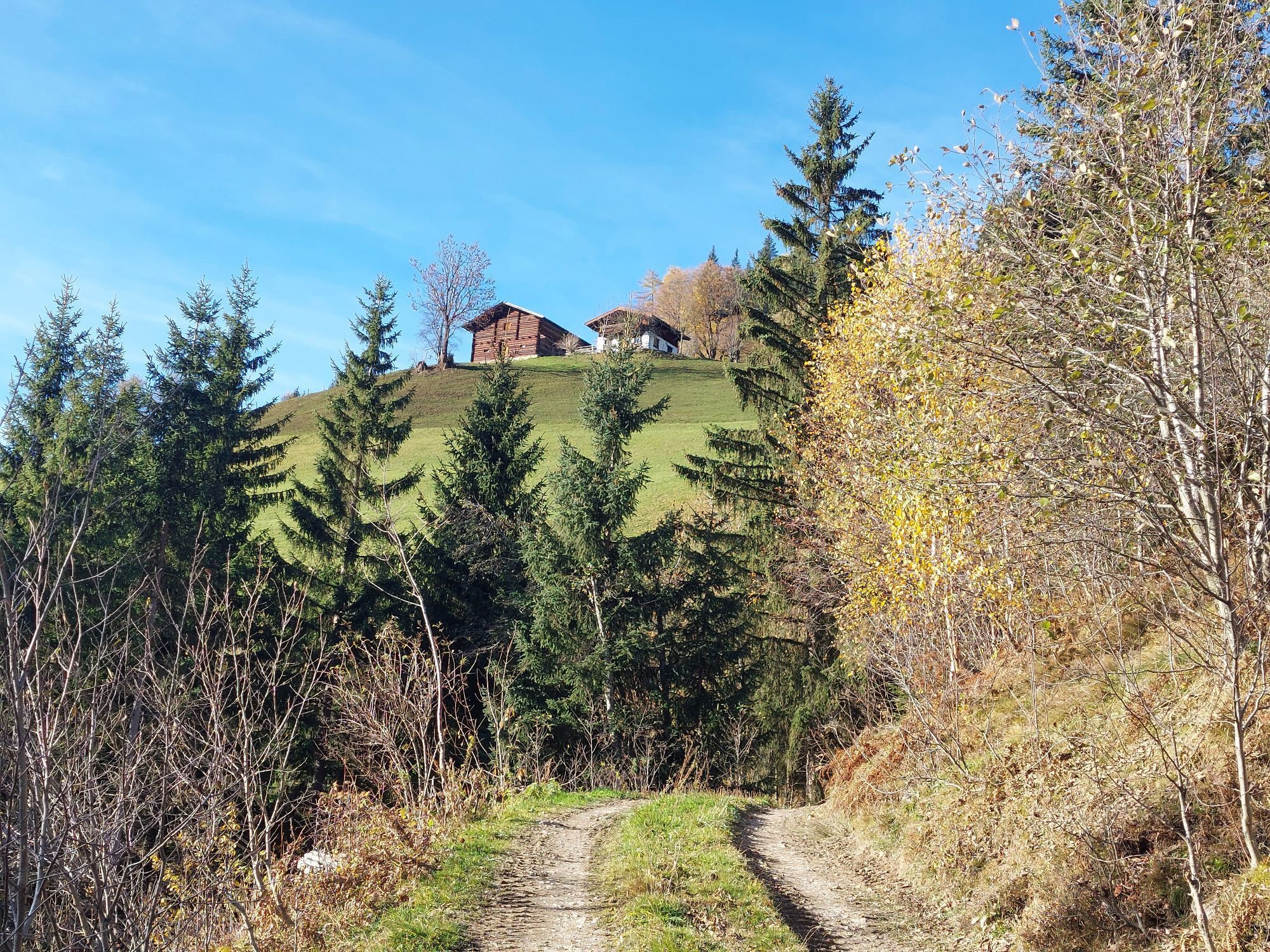
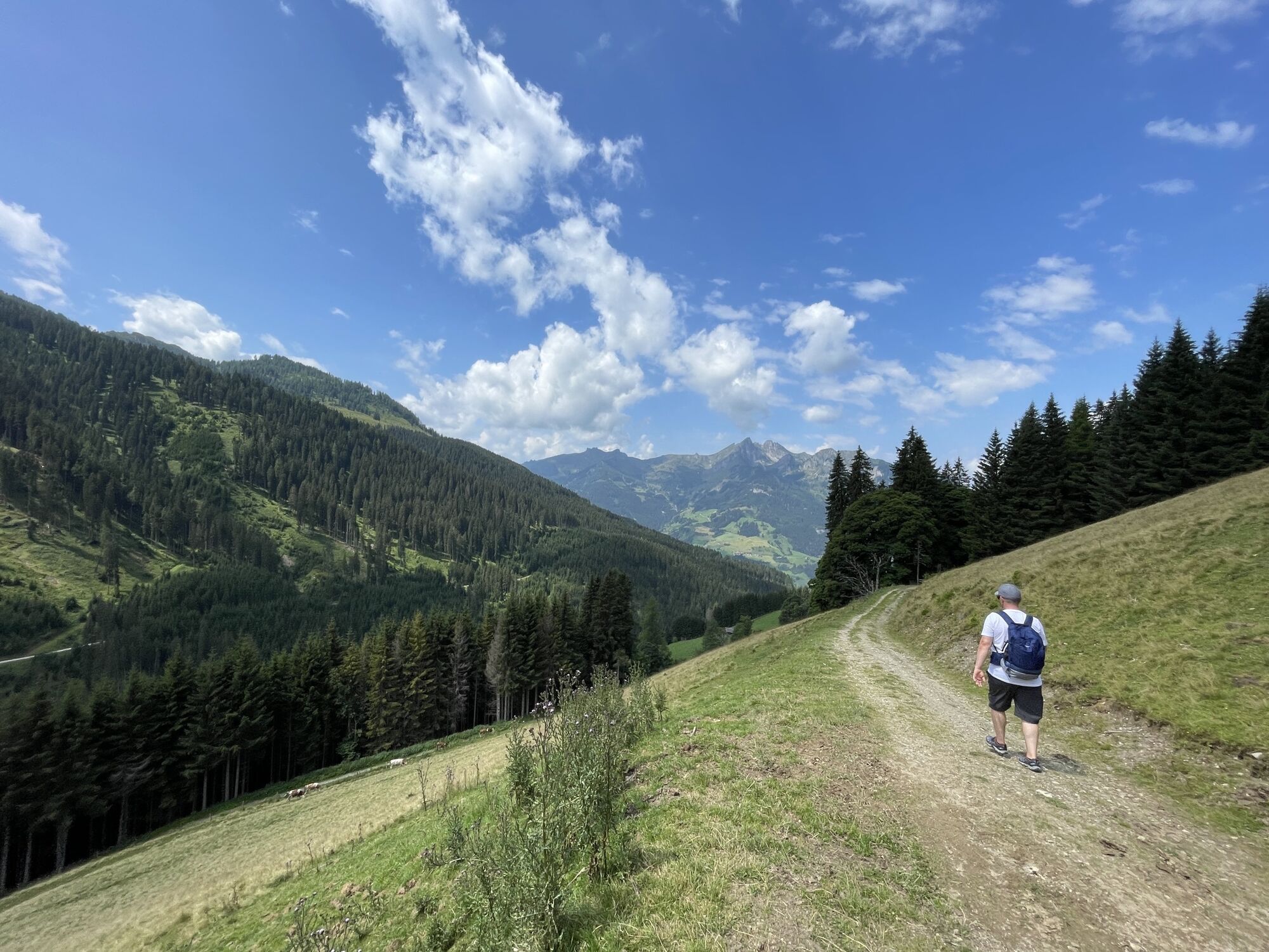
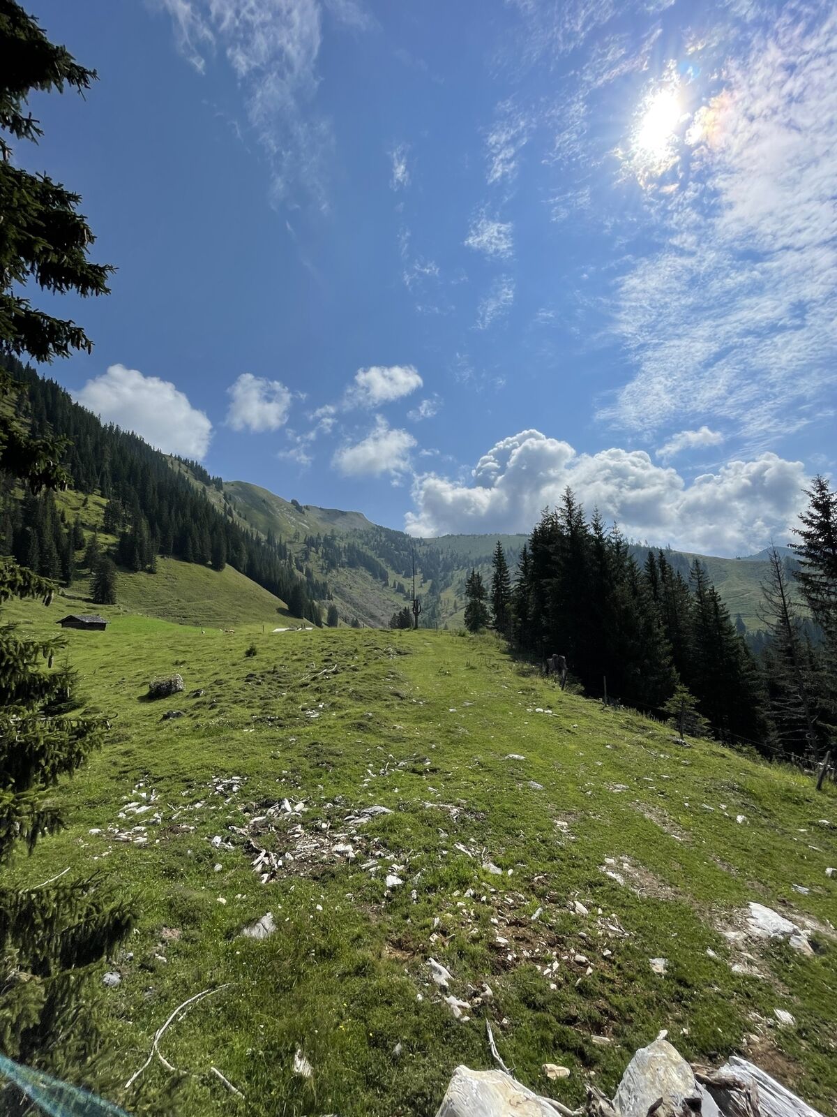
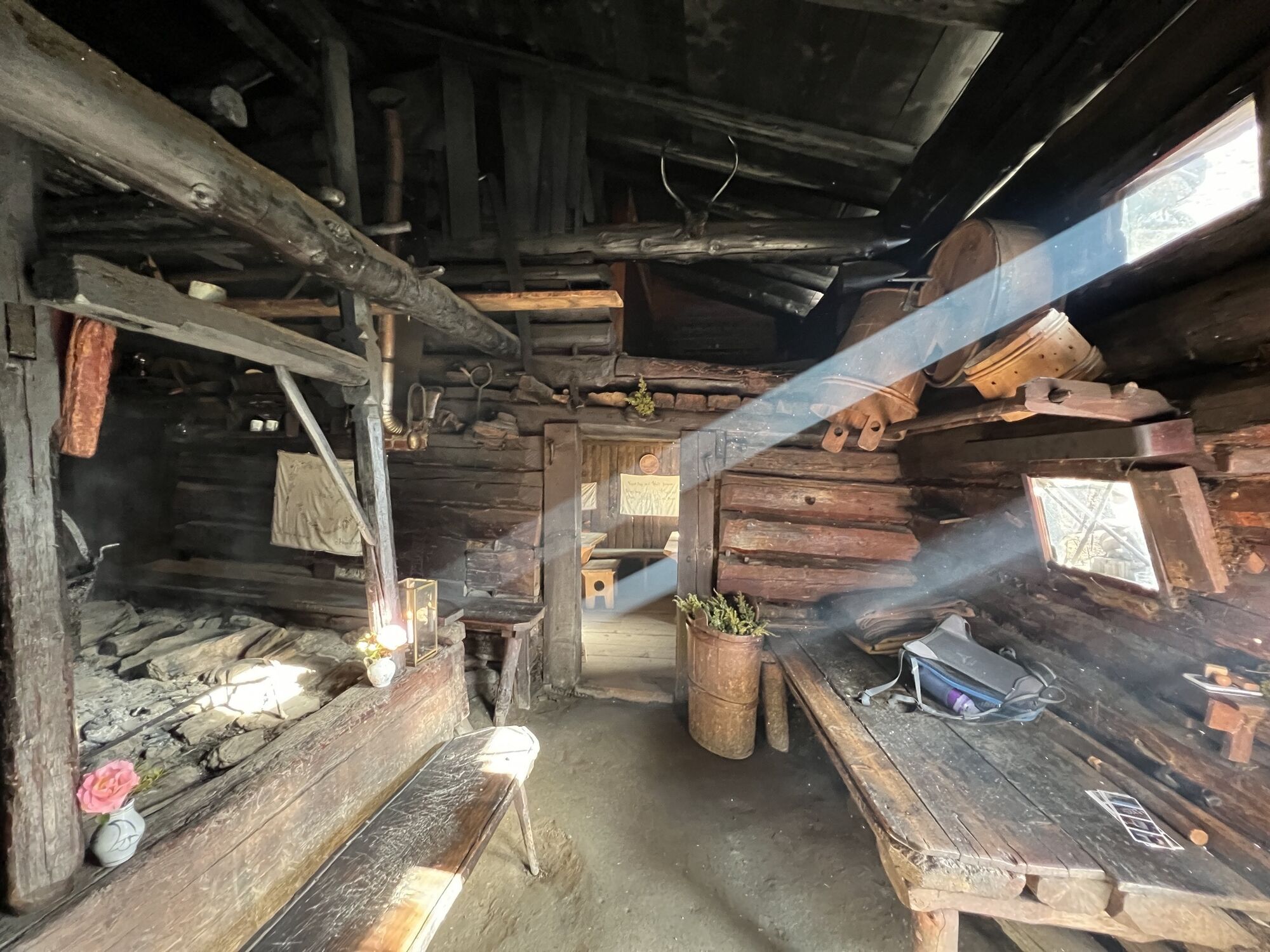
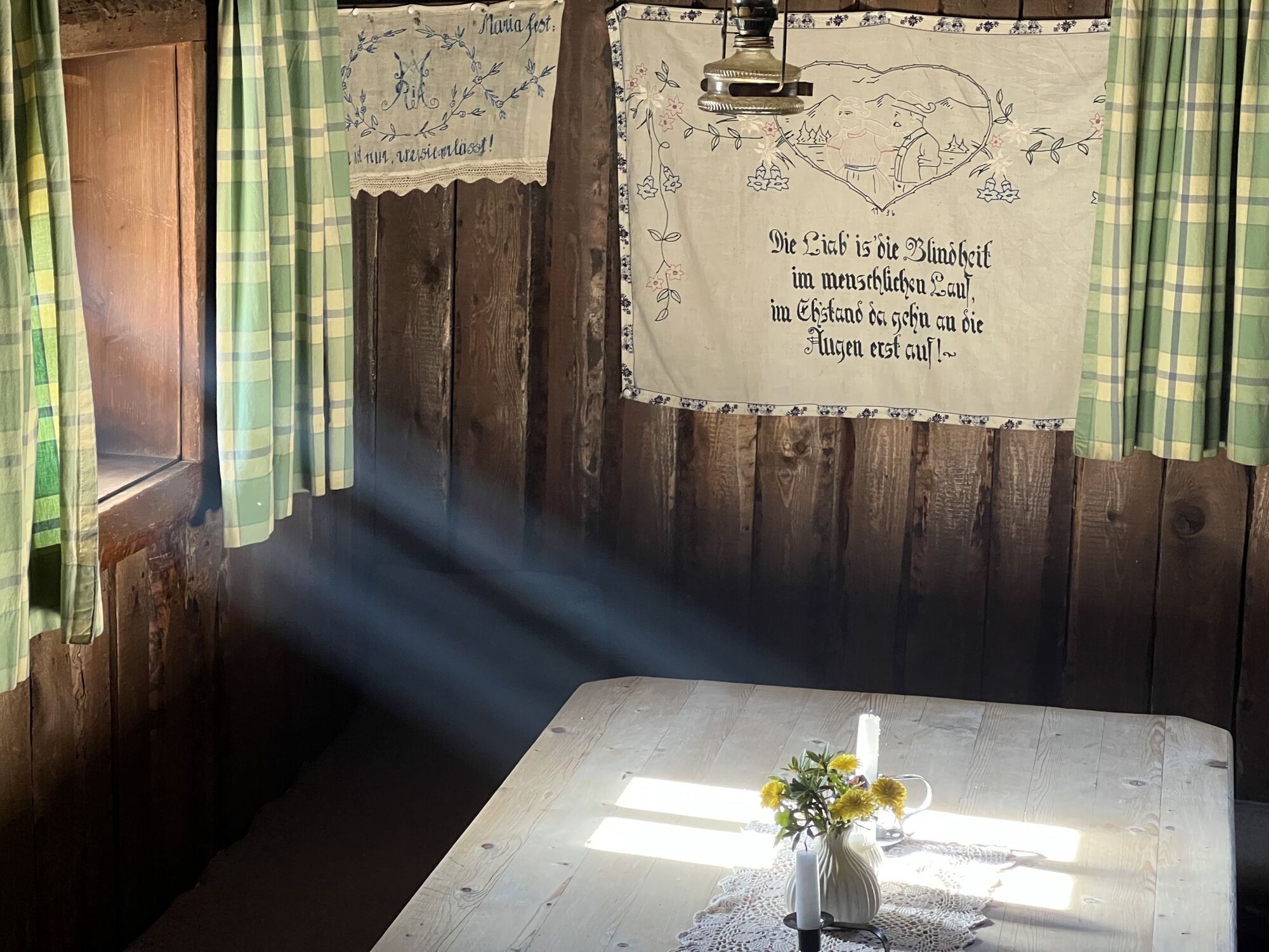
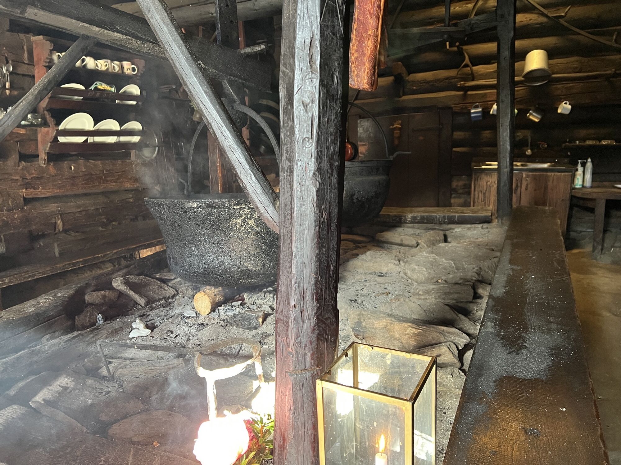
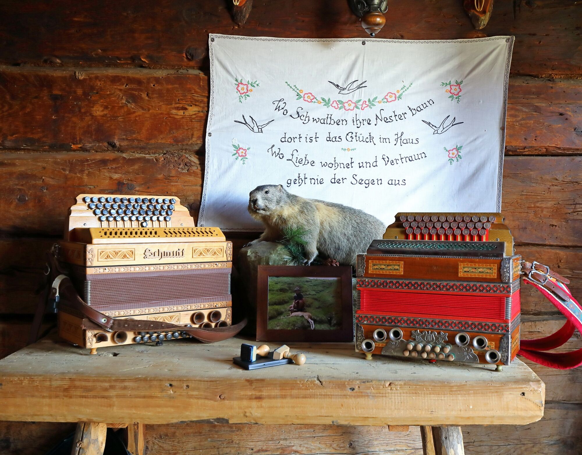
Ascent via the service road (shortcuts through the forest can also be taken) to the Unterwandalm. Here on the alm they often play music and sing. The herdsman (=senner) plays his accordion while you enjoy the delicious snack and the children play around the playground. Then continue at the same altitude to the Karseggalm. The Karseggalm is probably one of the most rustic huts in the entire Alpine region and at around 400 years old it is also the oldest alm in the Großarl valley. The floor inside the hut is covered with clay and bark. It may well be that the “Wehstatt”, as the “kitchen” in an old hut is called, is full of smoke. Here, as most people can no longer imagine, there is an open fireplace. A specialty from the Großarl valley is made here: the kneaded cheese. To make the cheese, an open fireplace is needed to smoke the cheese. Once a week you can watch the senner making the sour cheese typical for the Großarl valley. The culinary delights at the Karseggalm are also not neglected. Besides the sour cheese and the kneaded cheese, there is homemade bread, really yellow alm butter, sausage, bacon, sweet cheese, curd spread. Along with a glass of fresh whole or buttermilk. Descent via a hiking trail, past a fish pond to the Breitenebenalm. This alm is especially known for its sweets like apple strudel, Kaiserschmarrn, blueberry dumplings, and Buchteln. Besides the sweets, guests can also expect many hearty dishes like roast pork, cheese dumplings, crisp salads, alm burgers, and much more.
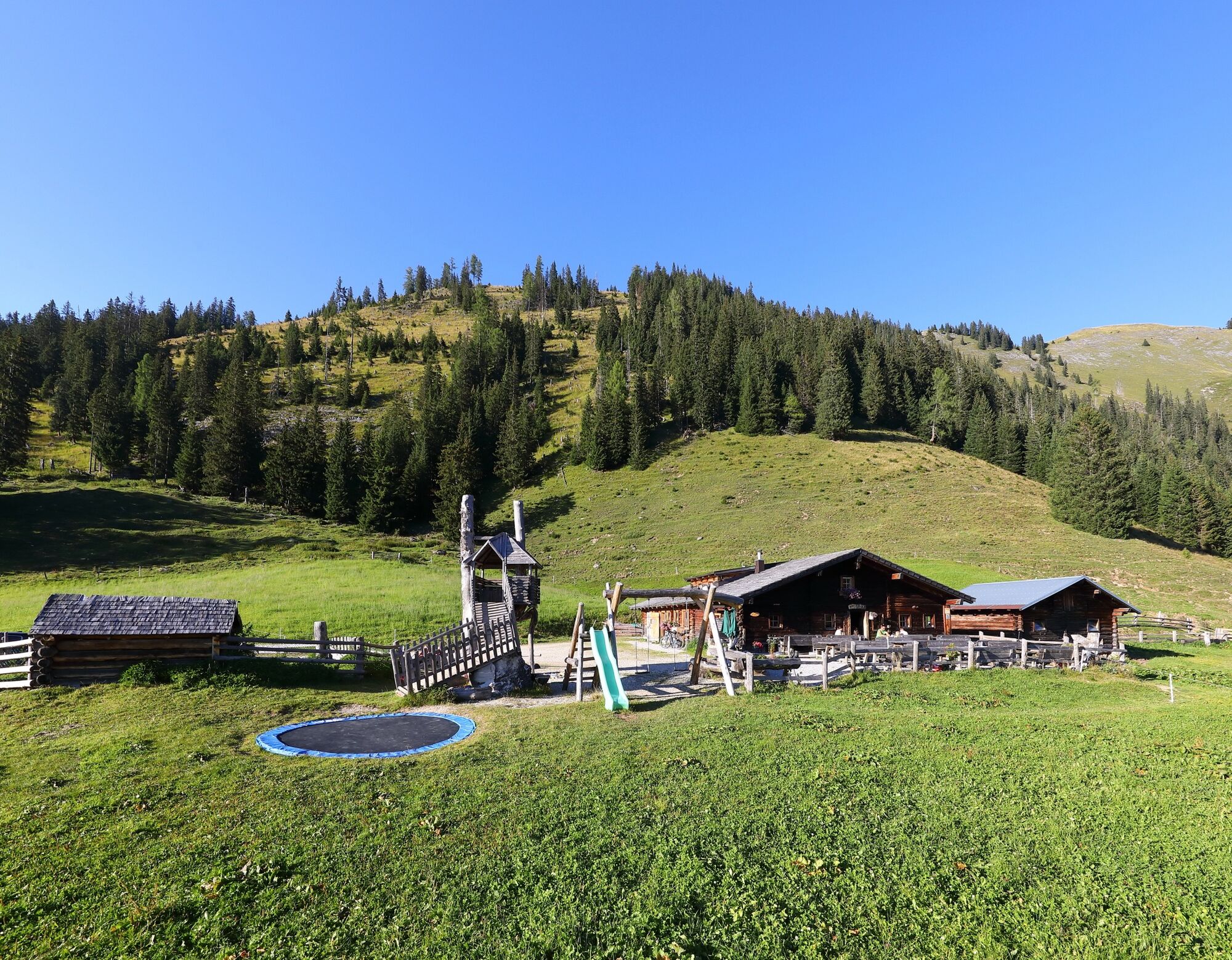
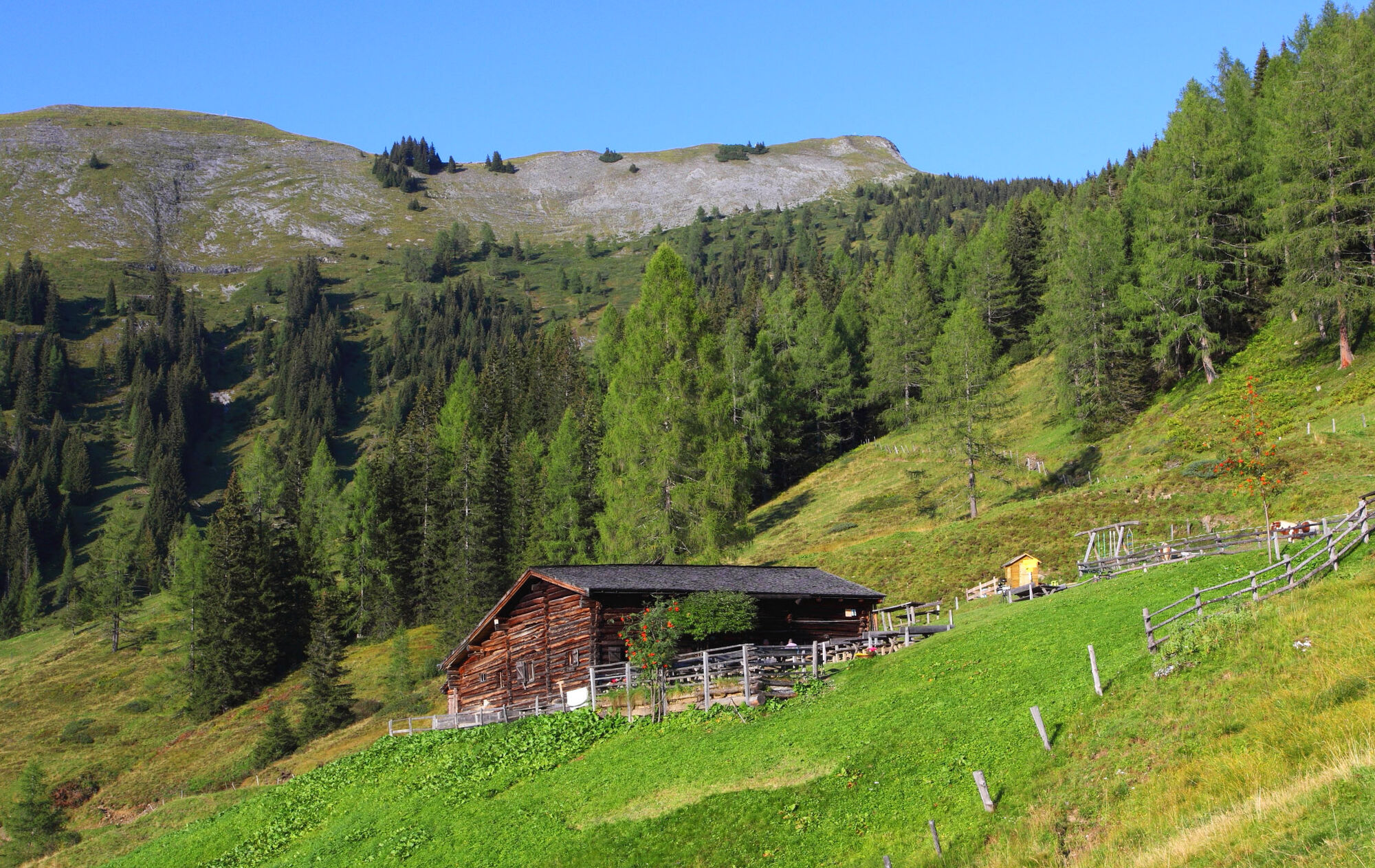
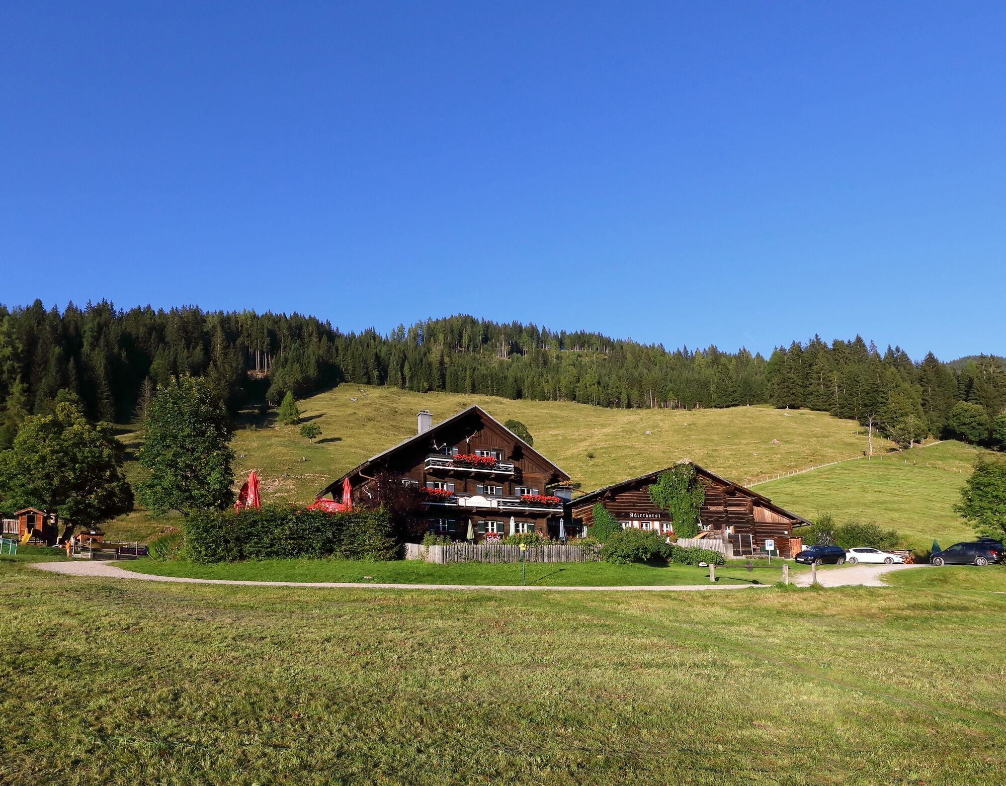

Drive by car or hiking taxi via the Sonneggweg in the district of Au to the Sonnegg Bridge. Uphill it goes on the somewhat steeper path no. 70C to the Unterwandalm, 1,600 m (approx. 1 hour). Then continue on path no. 70 to the Karseggalm, 1,603 m (approx. 1/2 hour). Descent via path no. 70 to the Breitenebenalm, 1,420 m (approx. 3/4 hour). Descent either on path no. 70B = hiking trail or on path no. 70 = forest road to the Sonnegg Bridge, the starting point of the route (approx. 3/4 hour).
Ano
Hiking shoes with tread sole, hiking map
Drive by car or by hiking taxi via the Sonneggweg in the district of Au to the Sonnegg Bridge
Parking available at the Sonnegg Bridge or at the Breiteneben barrier parking lot
What you absolutely must see once is a sunset over one of these three alms!



Webové kamery z prohlídky
-
Gernkogel - Alpendorf St. Johann
-
Ellmautal - Palfenhof
-
Großarl - Ort
-
St.Johann-Alpendorf Gernkogel
-
Gernkogel - Alpendorf St. Johann
-
Gernkogel - Alpendorf St. Johann
-
Mooslehen Berg
-
Großarl - Hotel Kristall Übungslift
-
Gernkogel - Alpendorf St. Johann
-
Gernkogel - Alpendorf St. Johann
-
Gernkogel - Alpendorf St. Johann
-
Gernkogel - Alpendorf St. Johann
Získejte přehled
Vždy živě na místě s více než 9 500 webkamerami. bergfex Jako uživatel Pro si nyní můžete zobrazit odpovídající webové kamery pro mnoho prohlídek v aplikaci prohlídky z. Můžete si tak přímo prohlédnout aktuální podmínky.
Aktivity na trase
-

Großarl, Salzburg/Österreich
03.08.2026 – Turistika -
Großarl, Salzburg/Österreich
23.07.2026 – Turistika -
Großarl, Salzburg/Österreich
17.07.2026 – Horská turistika -
Großarl, Salzburg/Österreich
17.07.2026 – Horská turistika -

Großarl, Salzburg/Österreich
11.06.2026 – Turistika -
Großarl, Salzburg/Österreich
07.09.2025 – Turistika -
Großarl, Salzburg/Österreich
24.08.2025 – Turistika
Oblíbené prohlídky v okolí
-
5.0
Hüttschlag: Karteistörl - Tappenkarsee - Draugsteintörl - Draugsteinalmen
středníTuristika 13.5 km -
4.9
4-Gipfel-Tour
středníHorská turistika 6.40 km -
4.9
Großarl: Aualm - Liechtensteinkopf - Aukopf - Schuhflicker - Schuhflickersee
středníTuristika 5.84 km -
4.2
Tappenkarsee Kleinarl
středníTuristika 9.11 km -
4.9
Großarl: Alpine pasture circuit in Ellmautal
středníTuristika 9.69 km -
5.0
Großarl: Heukareck
středníTuristika 12.5 km -
4.6
Großarl: Mooslehenalm – Niggeltalalm – Viehhausalm
středníTuristika 5.44 km -
4.6
Ski route Lackenkogel
středníLyžařská trasa 7.82 km -
4.7
Großarl: Saukaralm - Saukarkopf - Gerstreitalm
středníTuristika 9.39 km -
4.8
Großarl: Bichlalm
středníMountainbike 18.9 km
Pěší turistika a stopování


Nenechte si ujít nabídky a inspiraci pro vaši příští dovolenou
Vaše e-mailová adresa byl přidán do poštovního seznamu.





