


Großarl: Alpine pasture circuit in Ellmautal
Fotografie našich uživatelů
 © PfefferamVytvořeno dne 27.02.2026
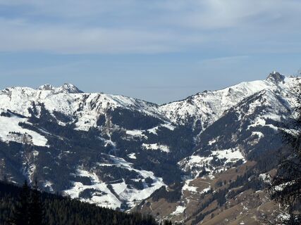 © Julius ScholzVytvořeno dne 23.01.2026
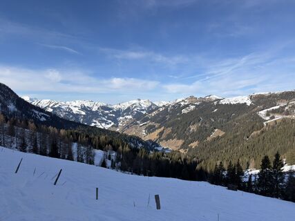 © Julius ScholzVytvořeno dne 23.01.2026
 © Peter De Smedt2Vytvořeno dne 08.10.2025
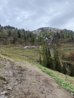 © Peter De Smedt2Vytvořeno dne 08.10.2025
 © Peter De Smedt2Vytvořeno dne 08.10.2025
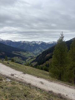 © Peter De Smedt2Vytvořeno dne 08.10.2025
 © Peter De Smedt2Vytvořeno dne 08.10.2025
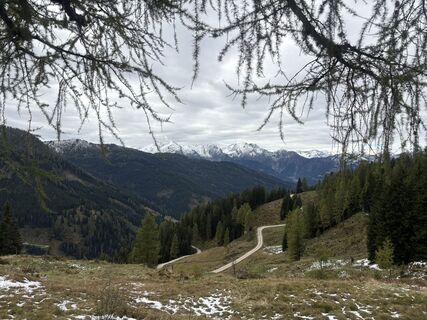 © Peter De Smedt2Vytvořeno dne 08.10.2025
 © Peter De Smedt2Vytvořeno dne 08.10.2025
 © Peter De Smedt2Vytvořeno dne 08.10.2025
 © Peter De Smedt2Vytvořeno dne 08.10.2025
 © Peter De Smedt2Vytvořeno dne 08.10.2025
 © Peter De Smedt2Vytvořeno dne 08.10.2025
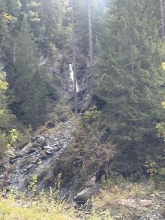 © Peter De Smedt2Vytvořeno dne 08.10.2025
 © Peter De Smedt2Vytvořeno dne 08.10.2025
 © stéphanie dalla-faveraVytvořeno dne 20.09.2025
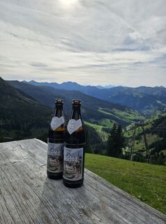 © Olaf SchmidtVytvořeno dne 07.09.2025
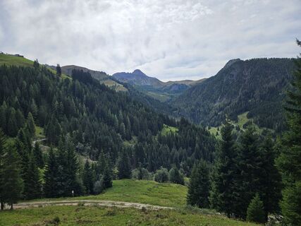 © Olaf SchmidtVytvořeno dne 07.09.2025
 © Peter De Smedt2Vytvořeno dne 08.10.2025
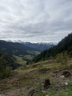 © Peter De Smedt2Vytvořeno dne 08.10.2025
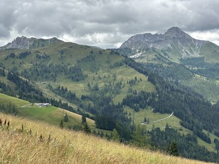 © Ilka LöserVytvořeno dne 04.08.2025
 © Ilka LöserVytvořeno dne 04.08.2025
 © Heinz SperlVytvořeno dne 07.04.2026
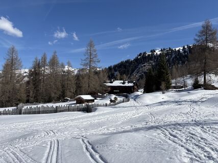 © Heinz SperlVytvořeno dne 07.04.2026
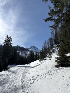 © Heinz SperlVytvořeno dne 07.04.2026
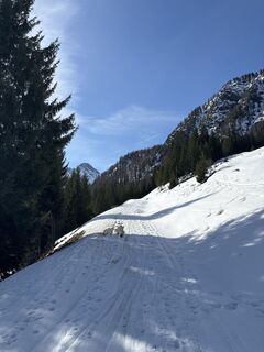 © Heinz SperlVytvořeno dne 07.04.2026
 © Heinz SperlVytvořeno dne 07.04.2026
 © Heinz SperlVytvořeno dne 05.03.2026
 © Heinz SperlVytvořeno dne 05.03.2026
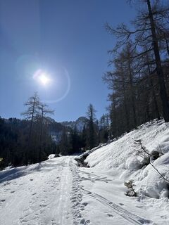 © Heinz SperlVytvořeno dne 05.03.2026
 © Heinz SperlVytvořeno dne 11.03.2025
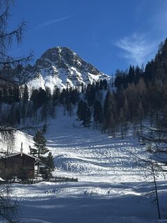
 © Andreas PfohlVytvořeno dne 22.02.2025
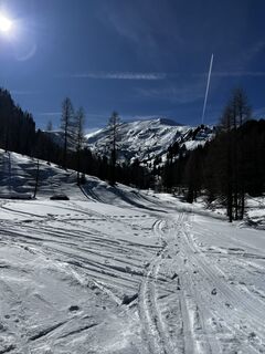 © Andreas PfohlVytvořeno dne 22.02.2025
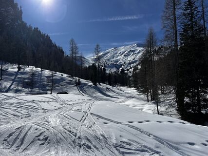 © Andreas PfohlVytvořeno dne 22.02.2025
 © Andreas PfohlVytvořeno dne 22.02.2025

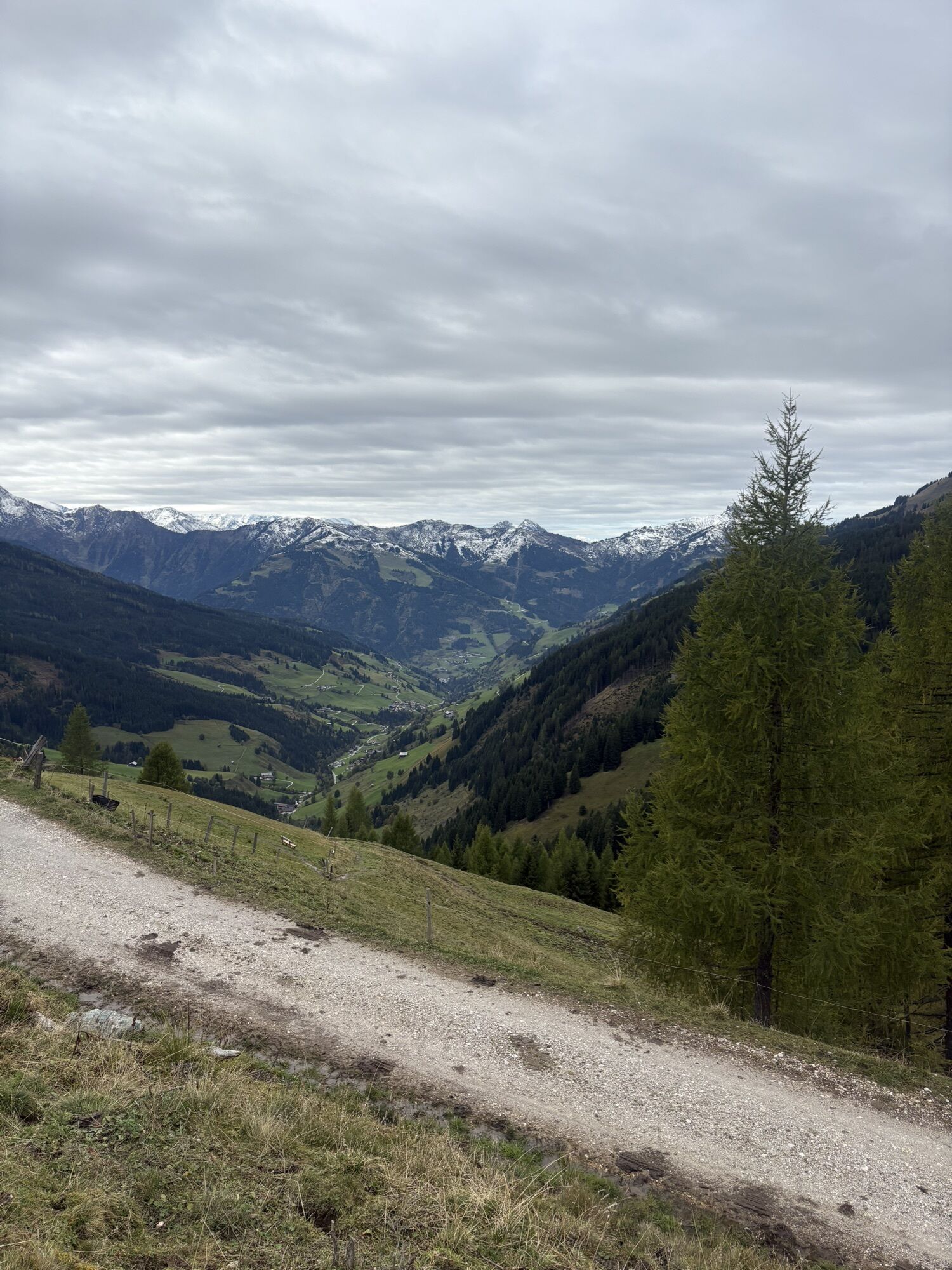


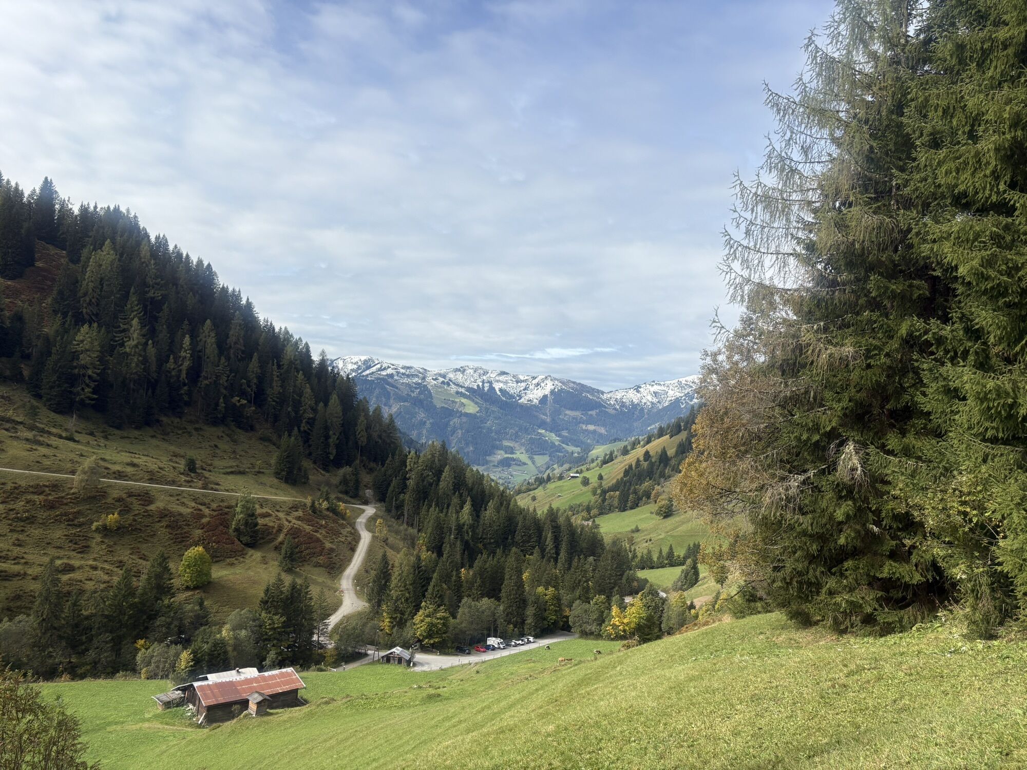

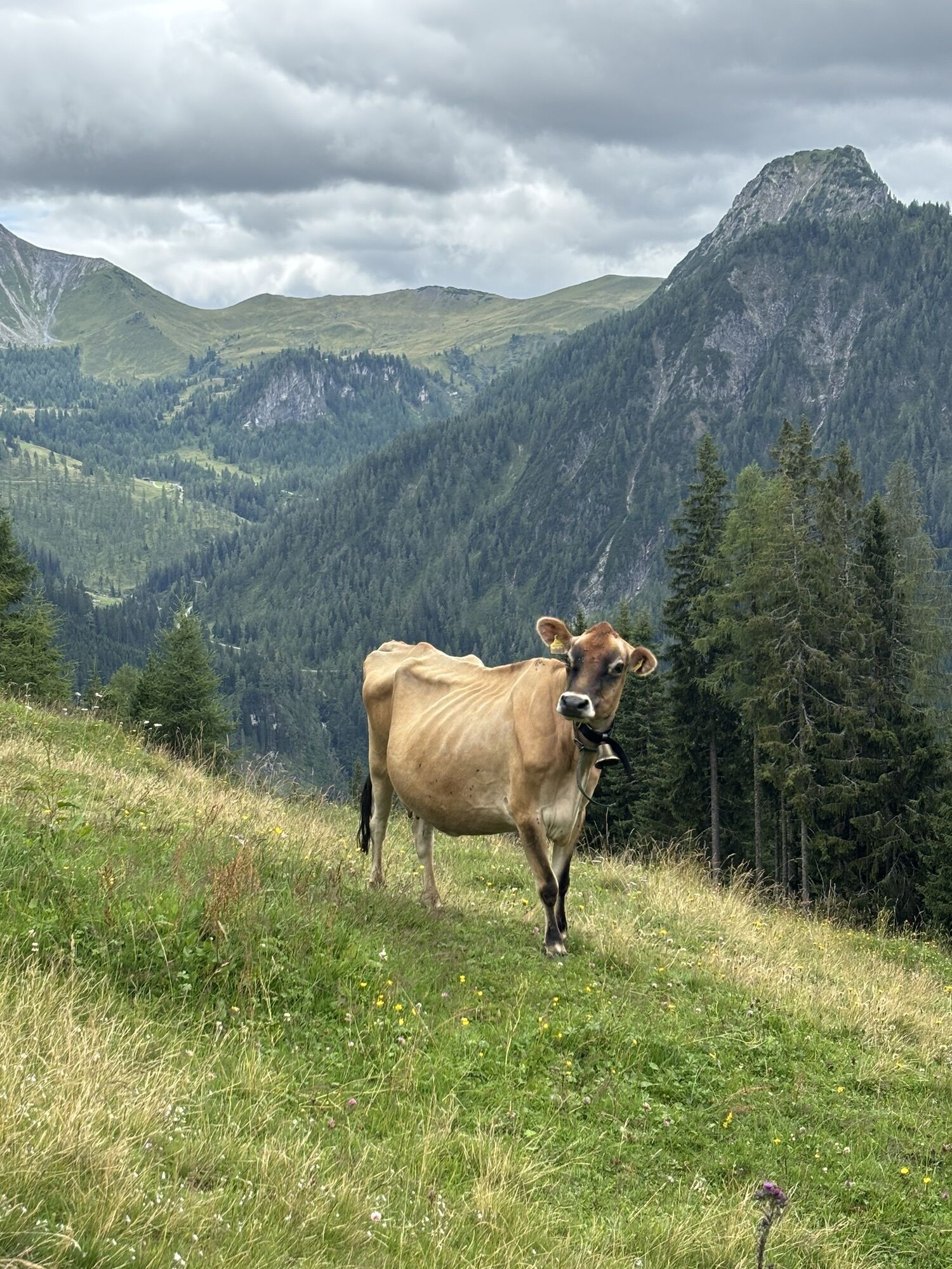


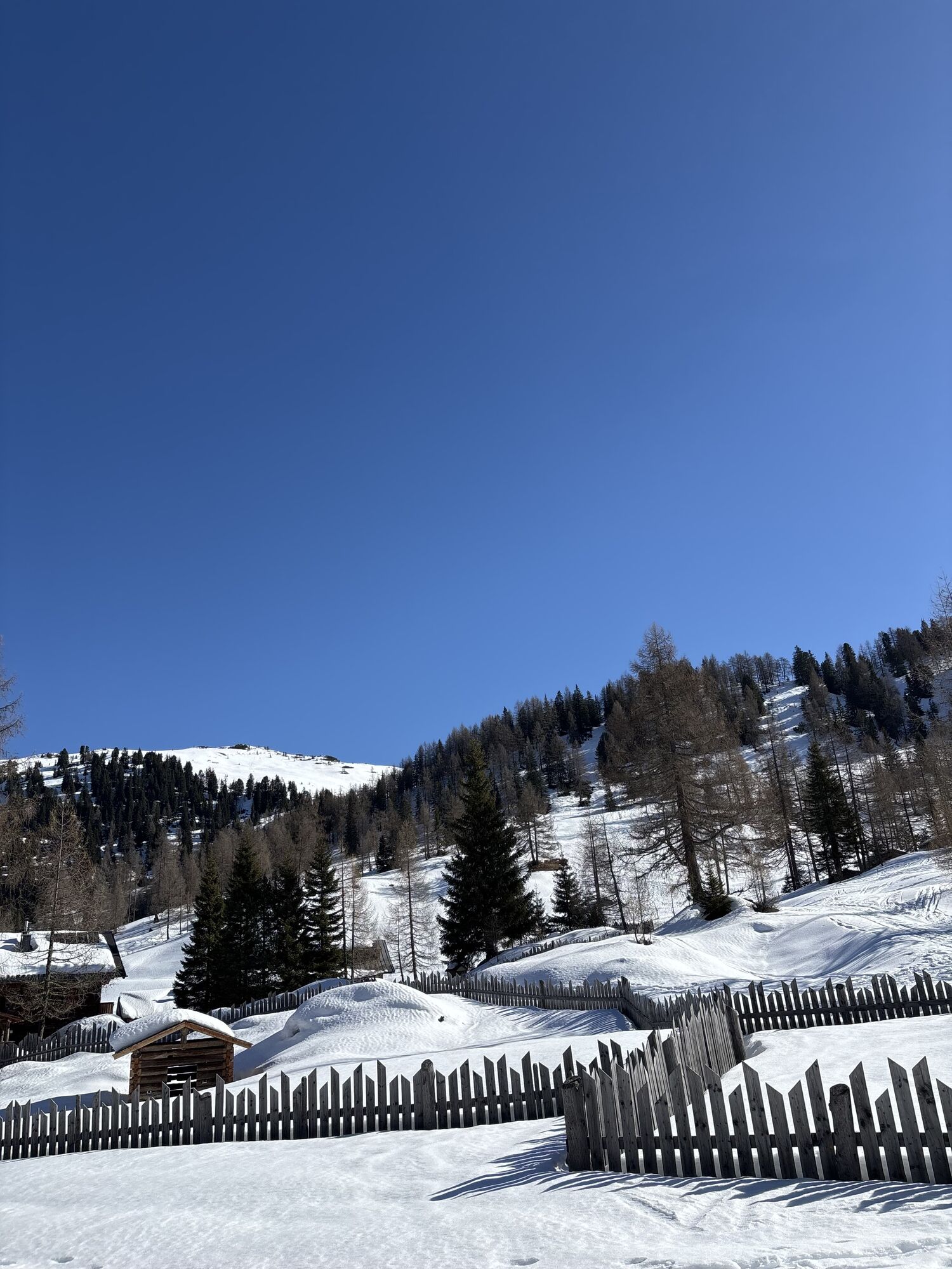
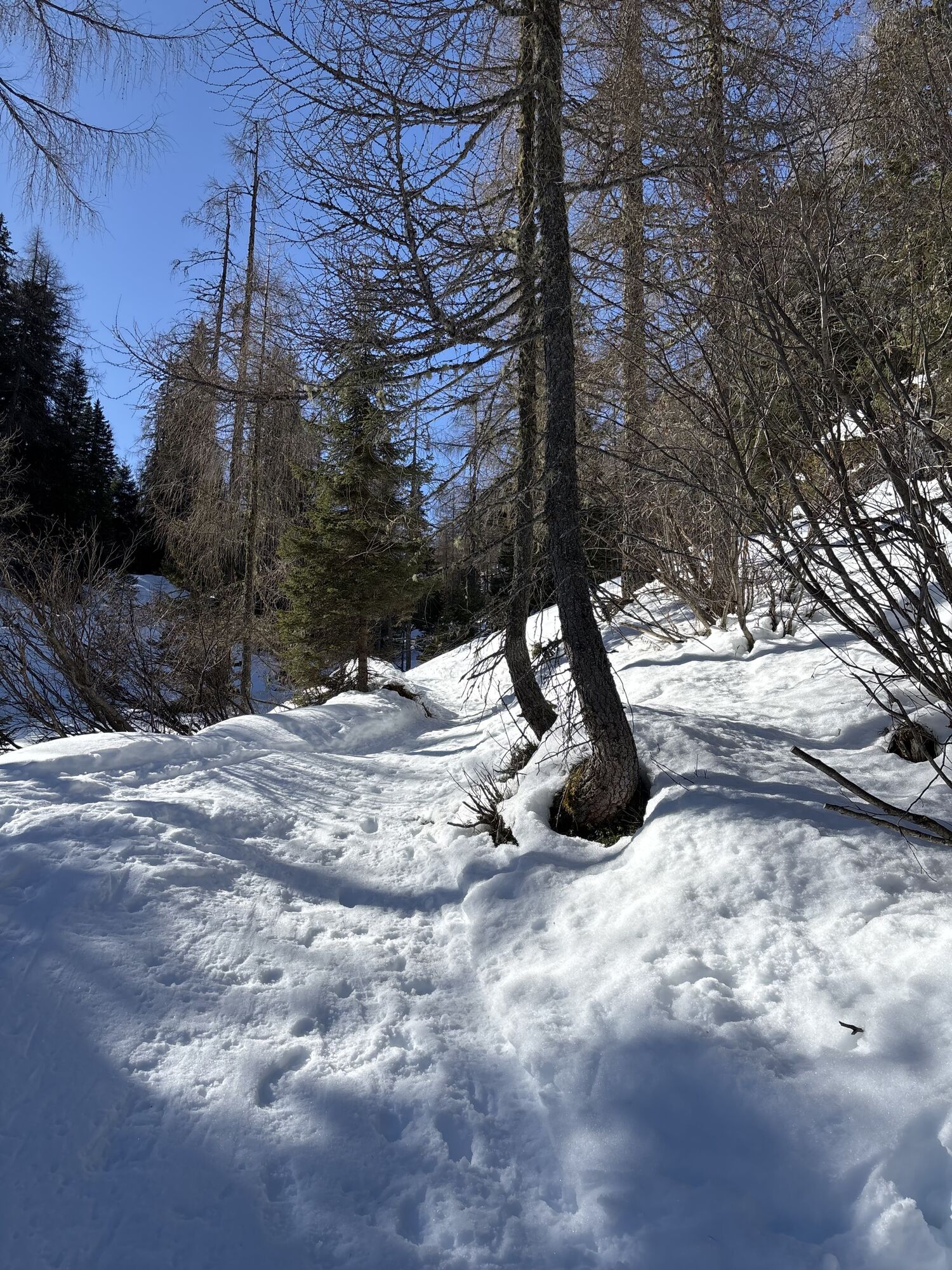


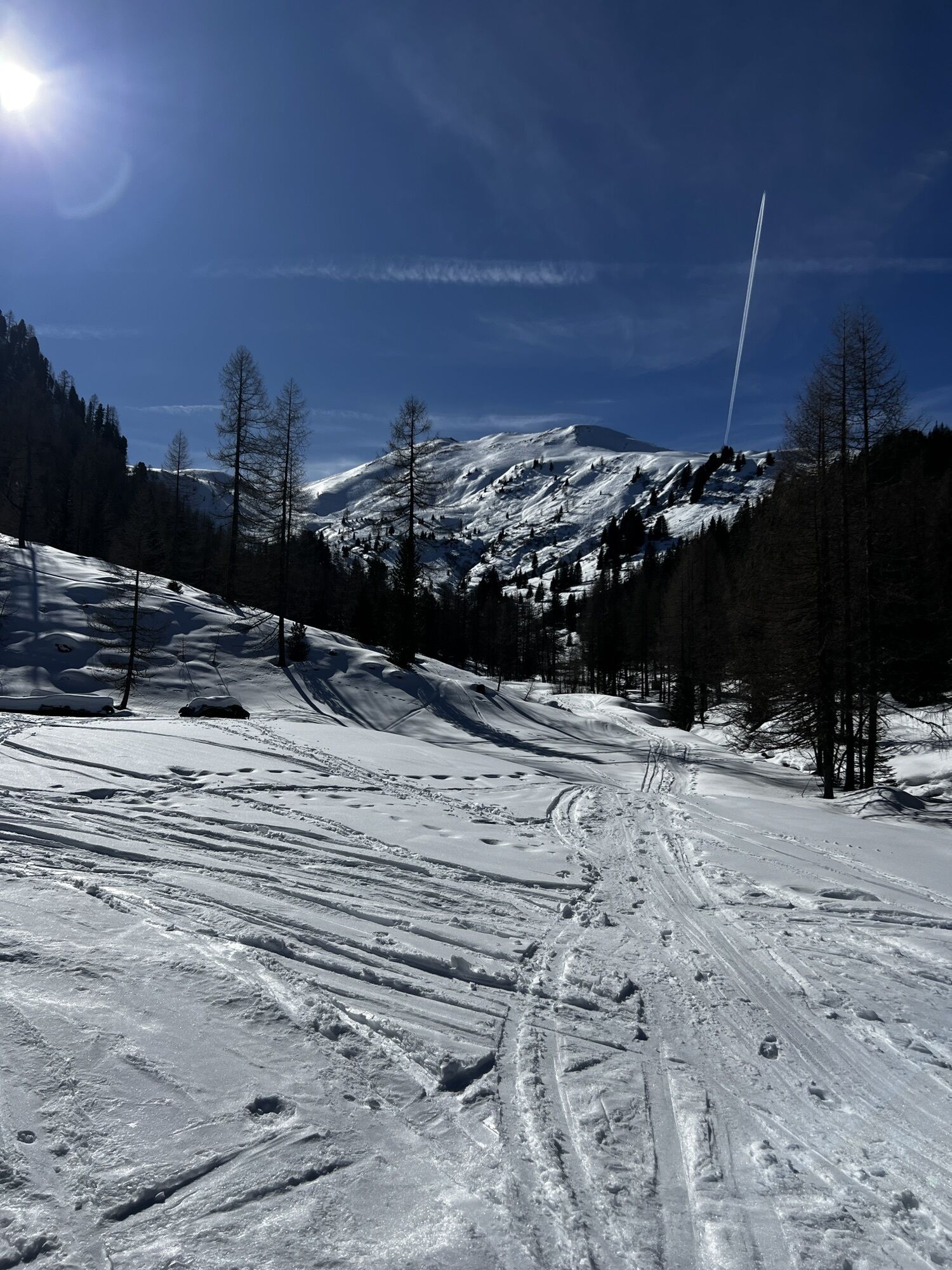
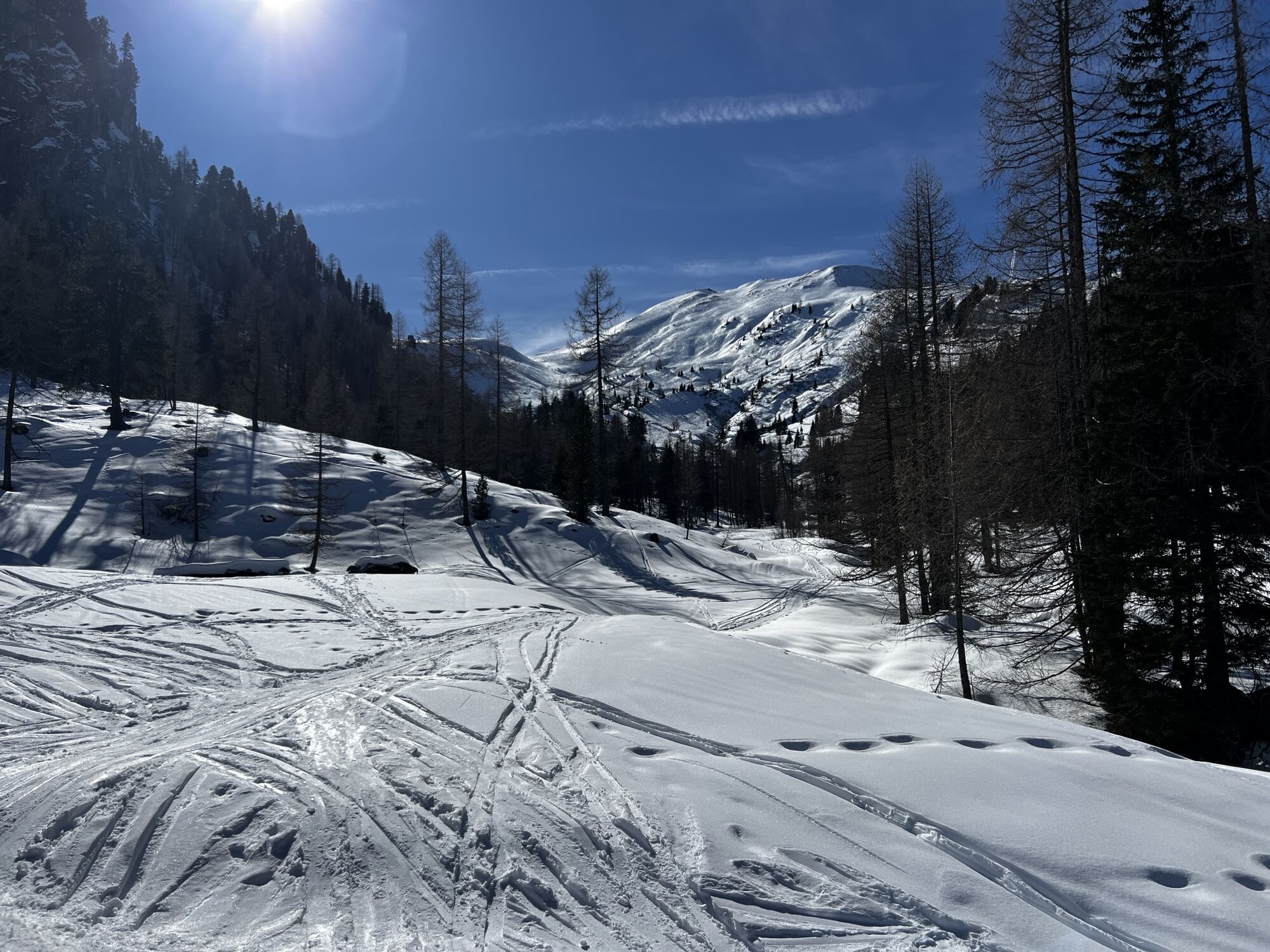
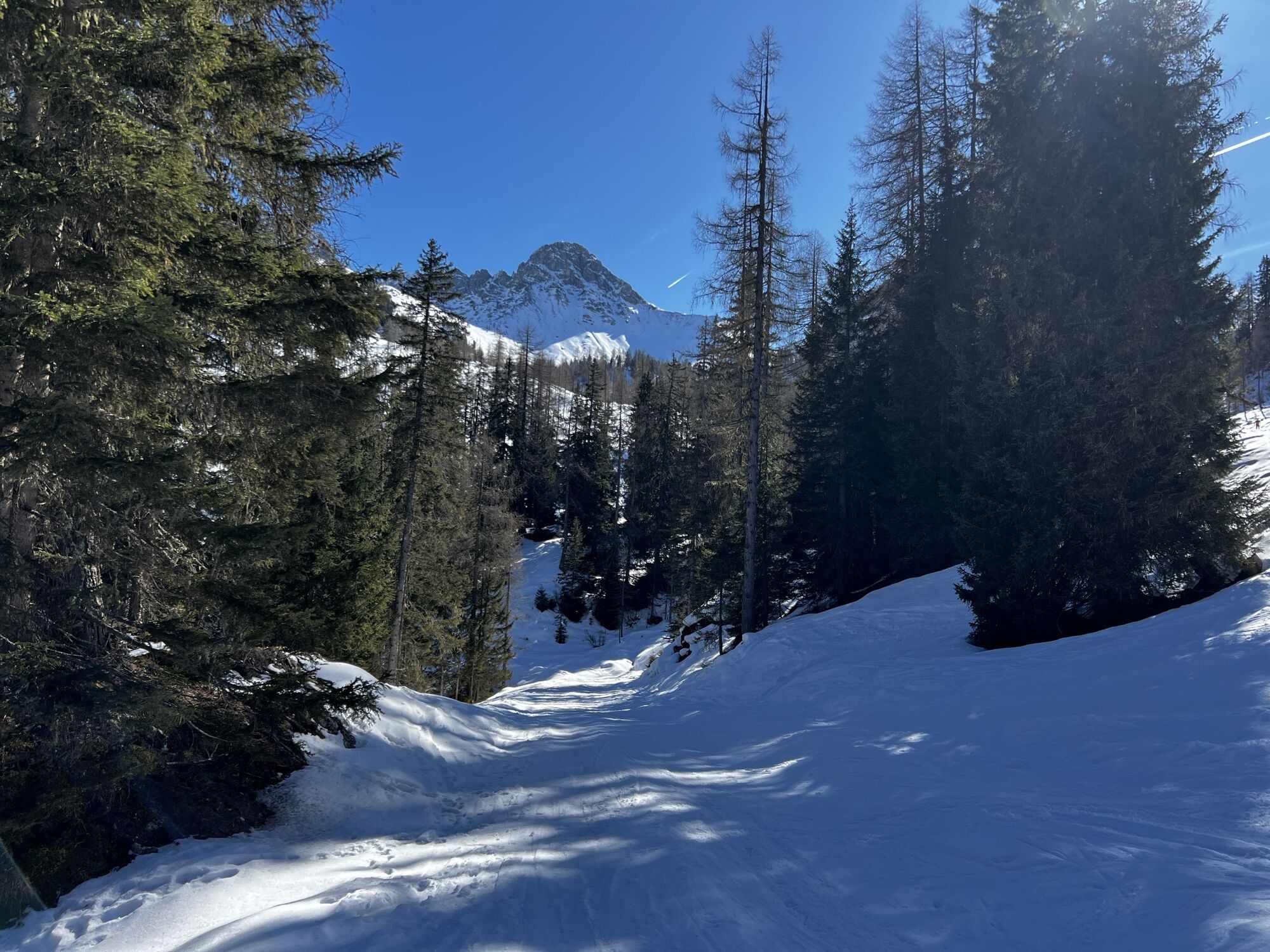
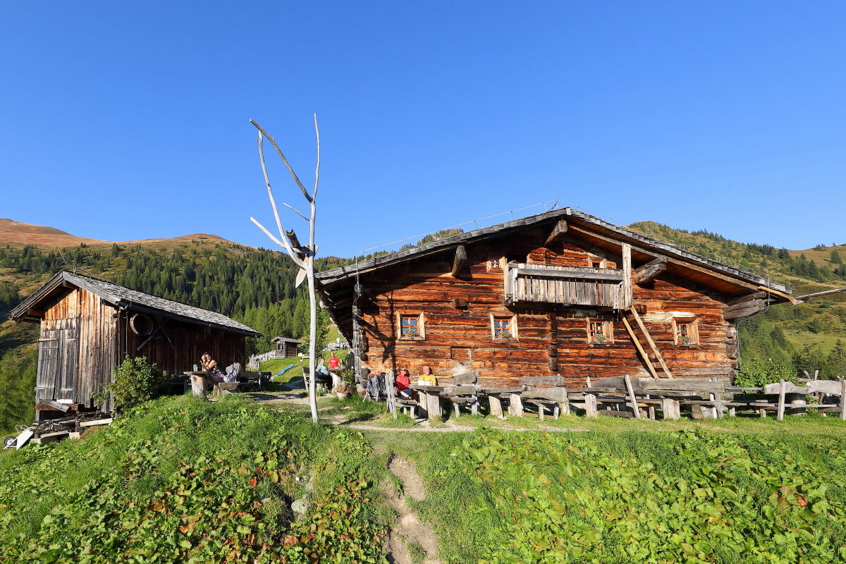
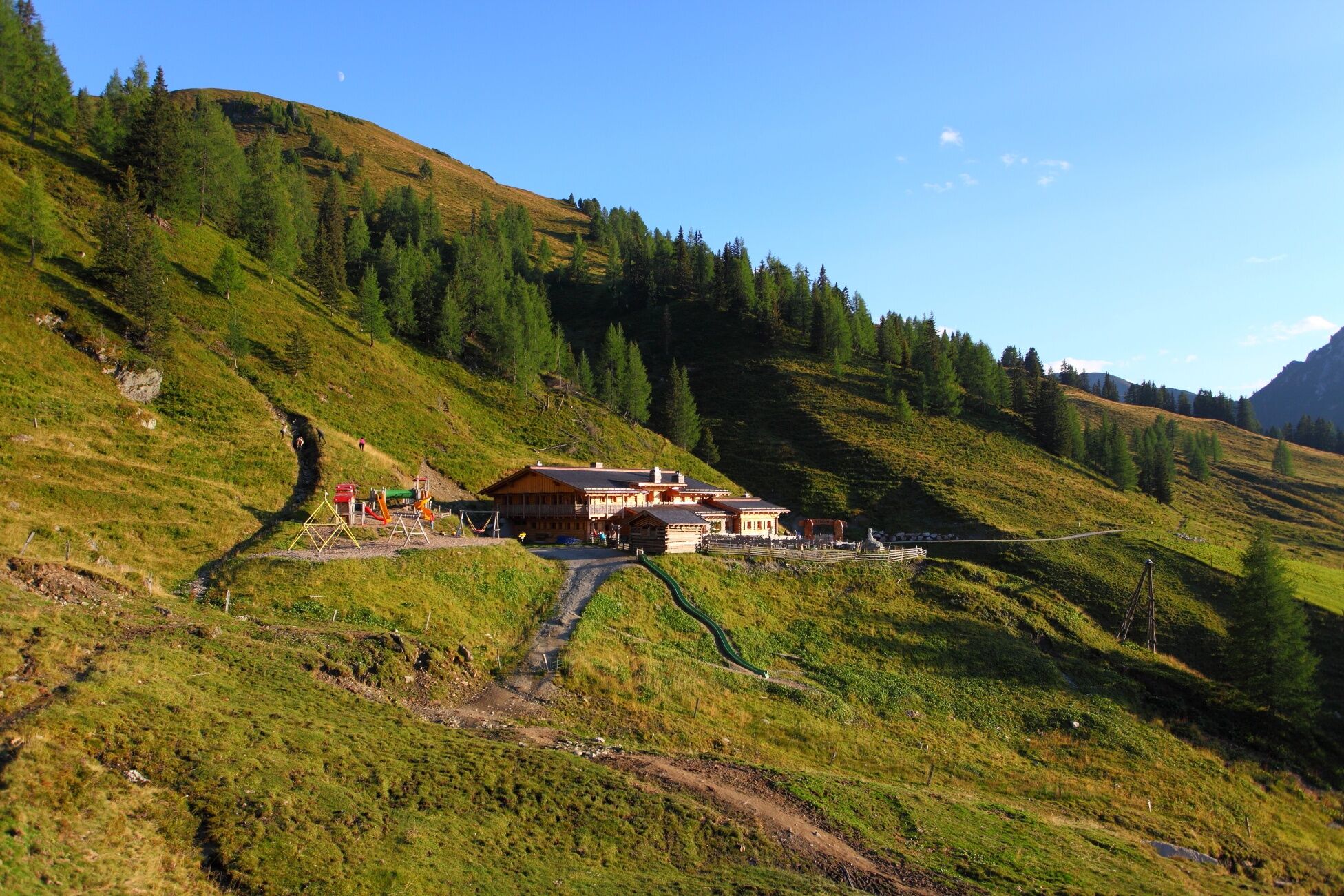
The hike starts in Ellmautal at the parking lot Grundlehen. On a rustic alpine path, the trail first leads through the forest, then over wide alpine meadows to the Ellmaualm. Upon arrival at the Ellmaualm,...
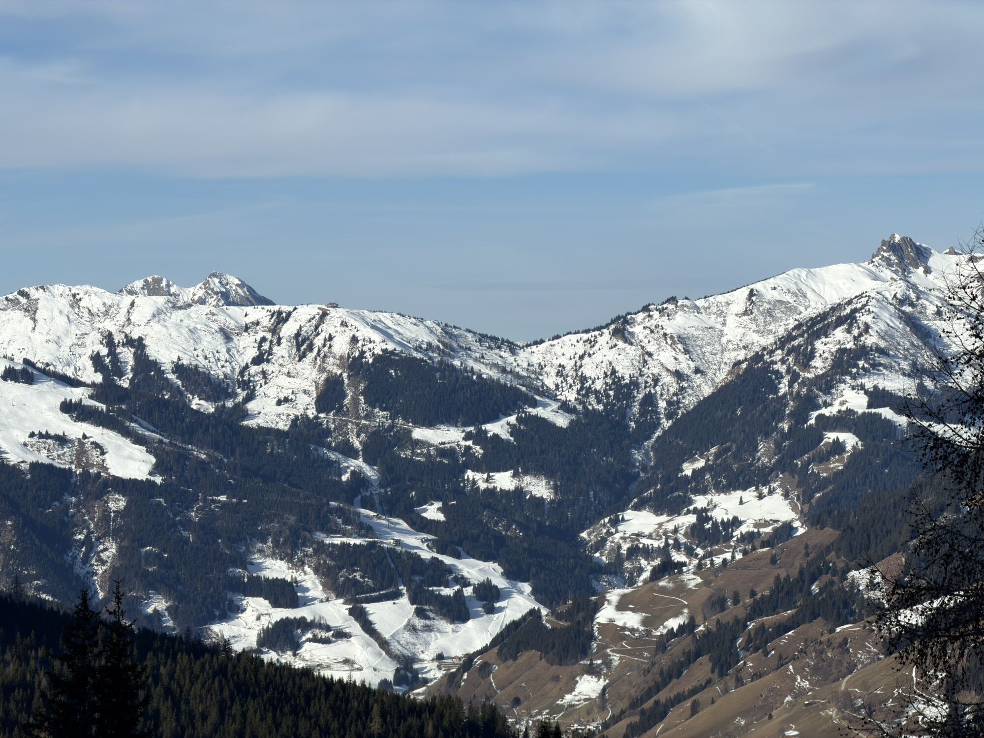
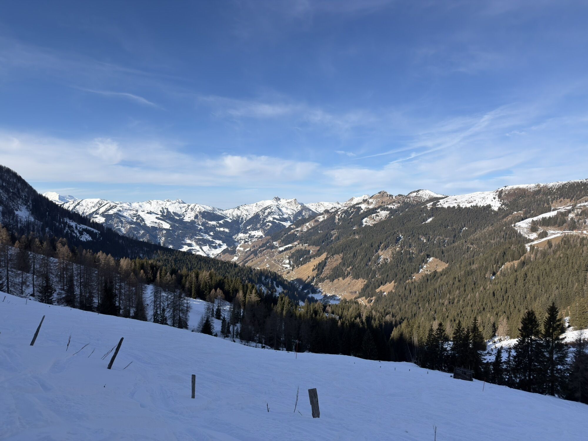
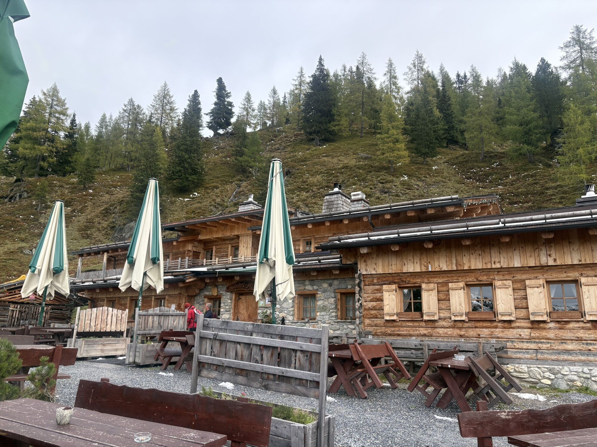
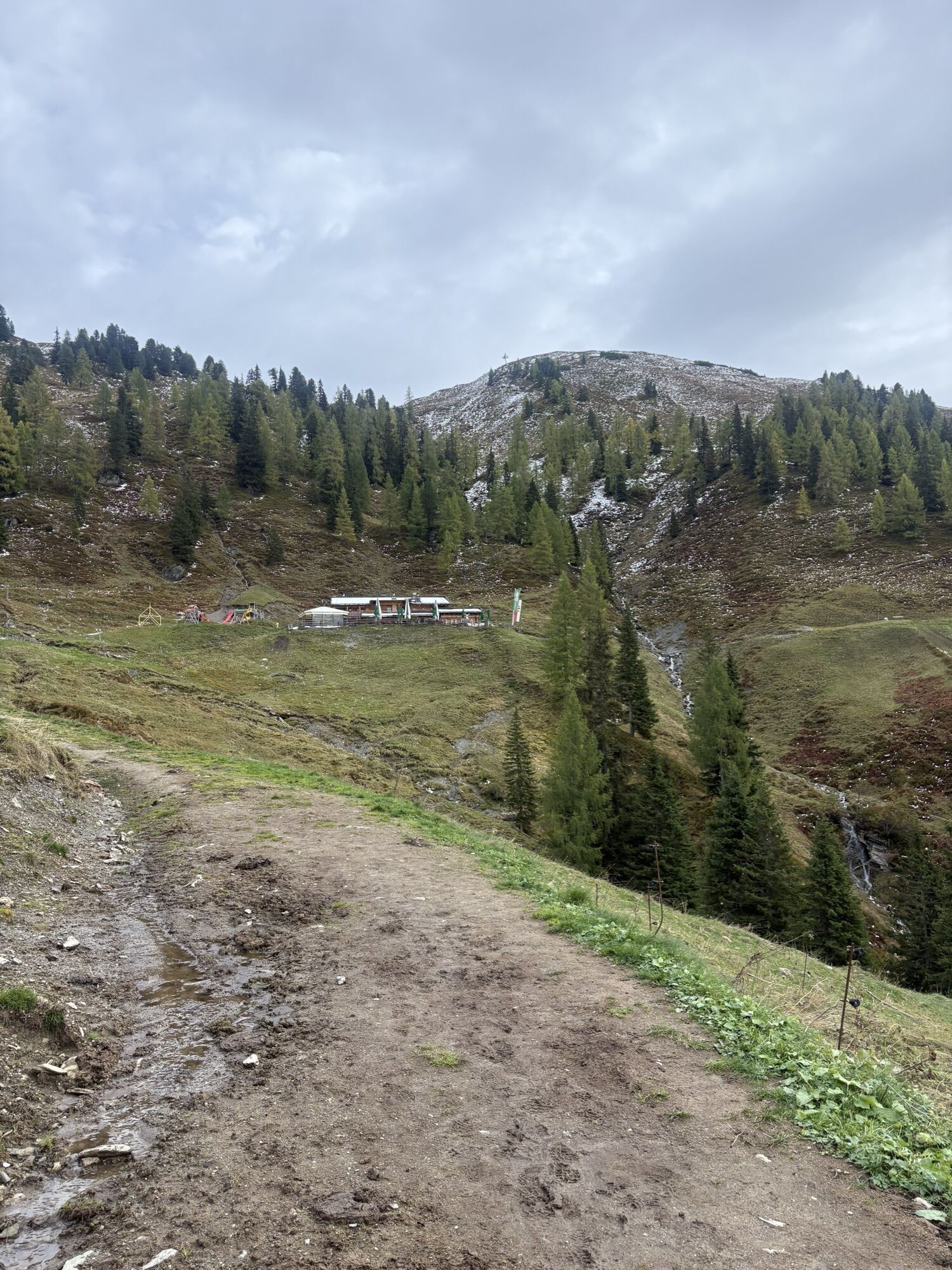
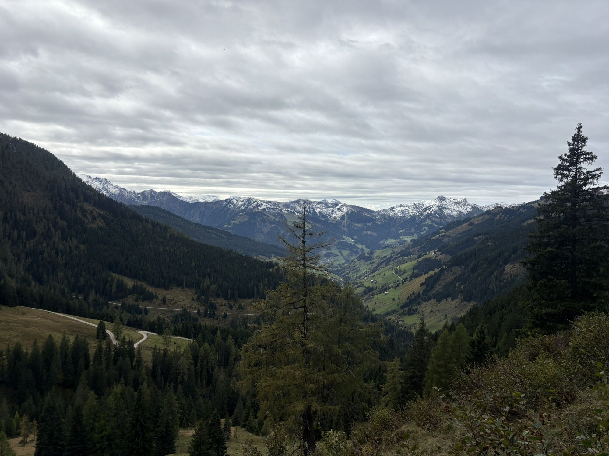
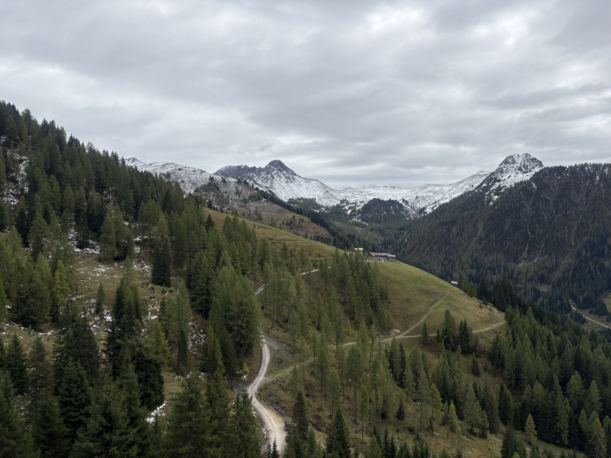
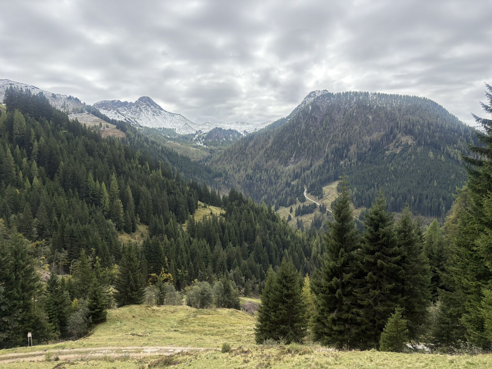
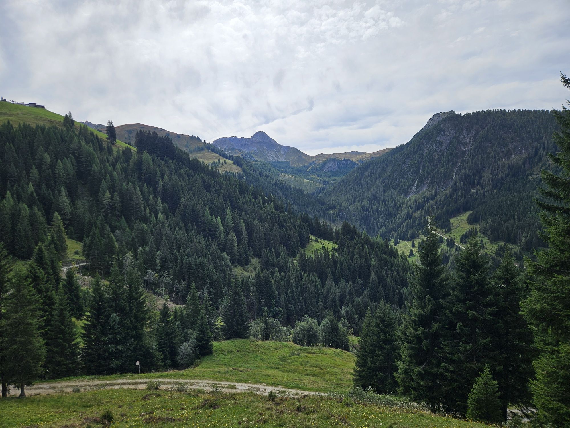
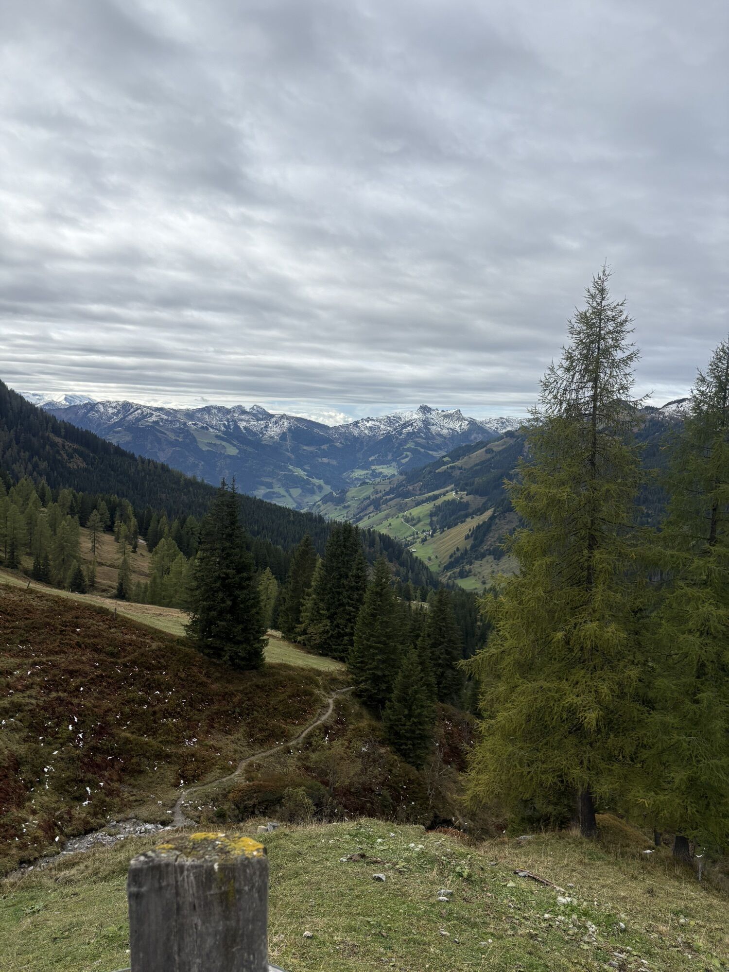
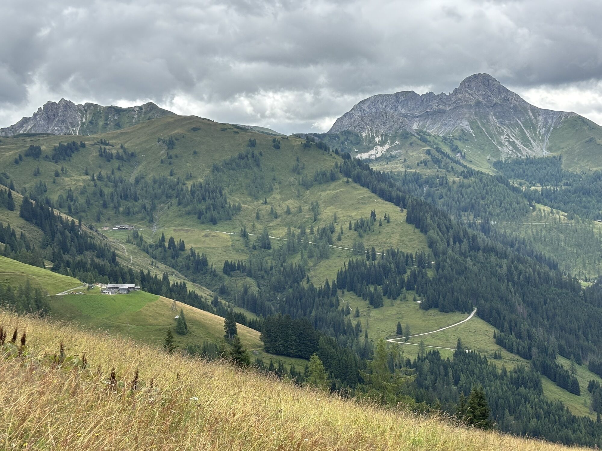
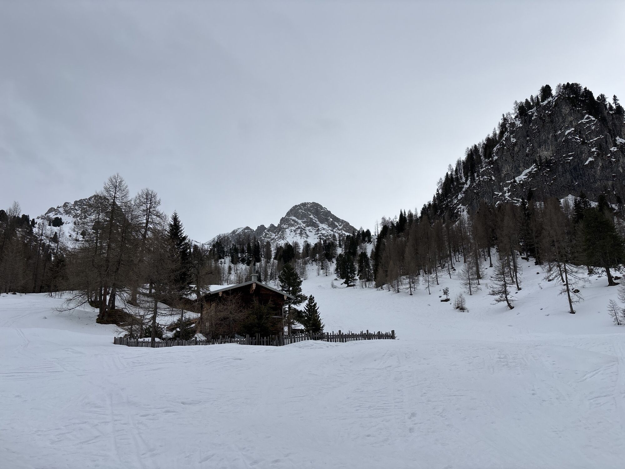
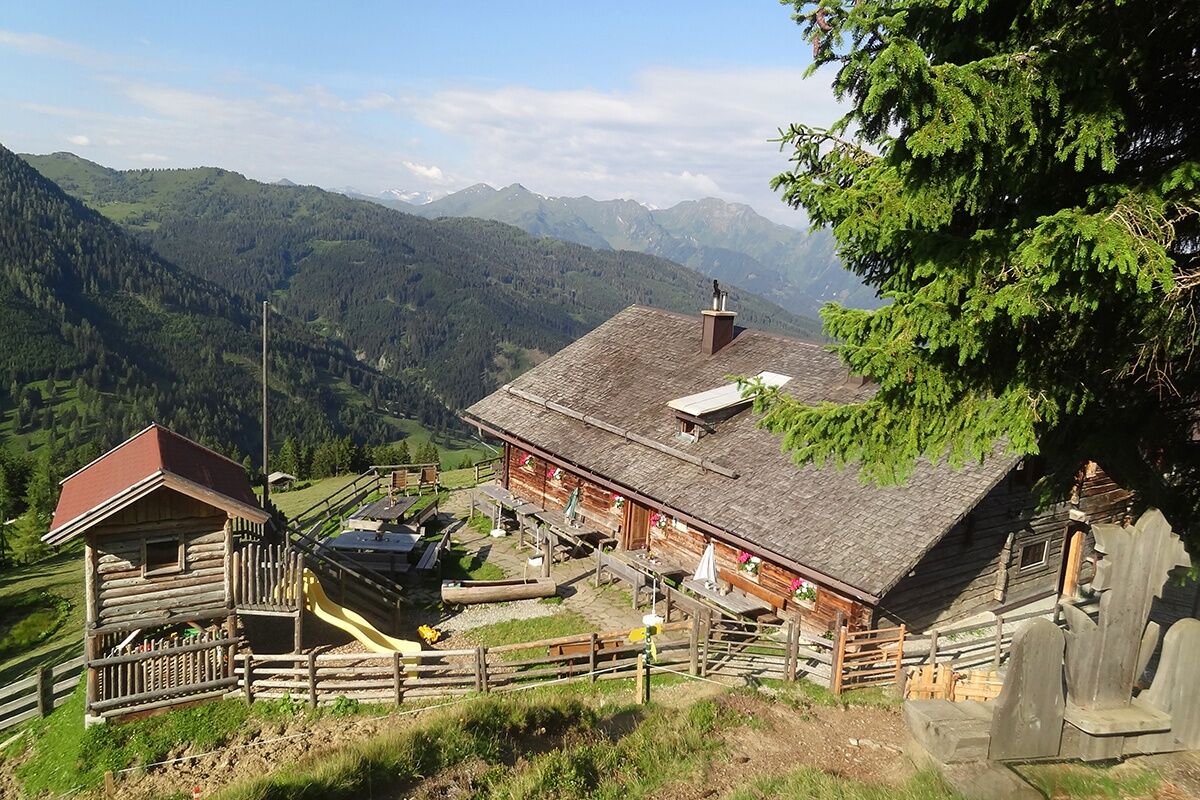
The hike starts in Ellmautal at the parking lot Grundlehen. On a rustic alpine path, the trail first leads through the forest, then over wide alpine meadows to the Ellmaualm. Upon arrival at the Ellmaualm, you are not only rewarded with a magnificent panoramic view extending to the Hochkönig but also a very good snack with homemade delicacies such as bread, butter, cheese, sausage, or bacon. For children, there is a small but nice playground. The path follows the Salzburger Almenweg without significant ascent to the Weißalm. This centuries-old alpine pasture was carefully restored between 1998 and 2001. In addition to traditional sour cheese, sausage, bacon, bread, butter, and various schnapps are directly produced on the alpine pasture or at the farm. The cozy hut is lovingly decorated with old tools, recalling long past days and the arduous work in the mountains. The Salzburger Almenweg leads comfortably to the Loosbühelalm. The Loosbühelalm was rebuilt in 2010 after a devastating fire. Especially for fans of goat milk and goat cheese, Loosbühelalm ("Klausalm") is a special insider tip. Here you find, besides the usual snacks with homemade delicacies (not only goat milk but also cow milk products), warm meals. Children most enjoy spending their time at the playground. Finally, the path leads over the "Fleischgraben" to the Filzmoosalm. The hut lies in an untouched natural landscape. The wide alpine pastures and meadows are bordered on one side by grassy mountain peaks and on the other by the rugged limestone peaks of the Draugstein and the Großer Schneibenstein.
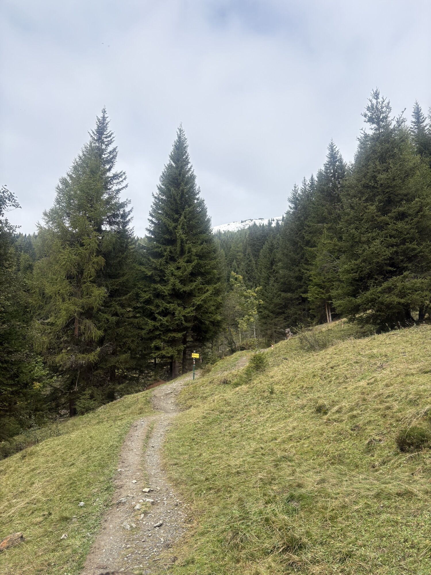
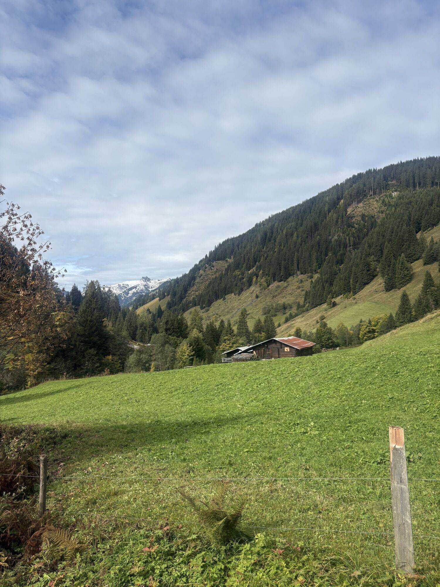
A rustic alpine path leads downhill to Grundlehen, the starting point of the route.

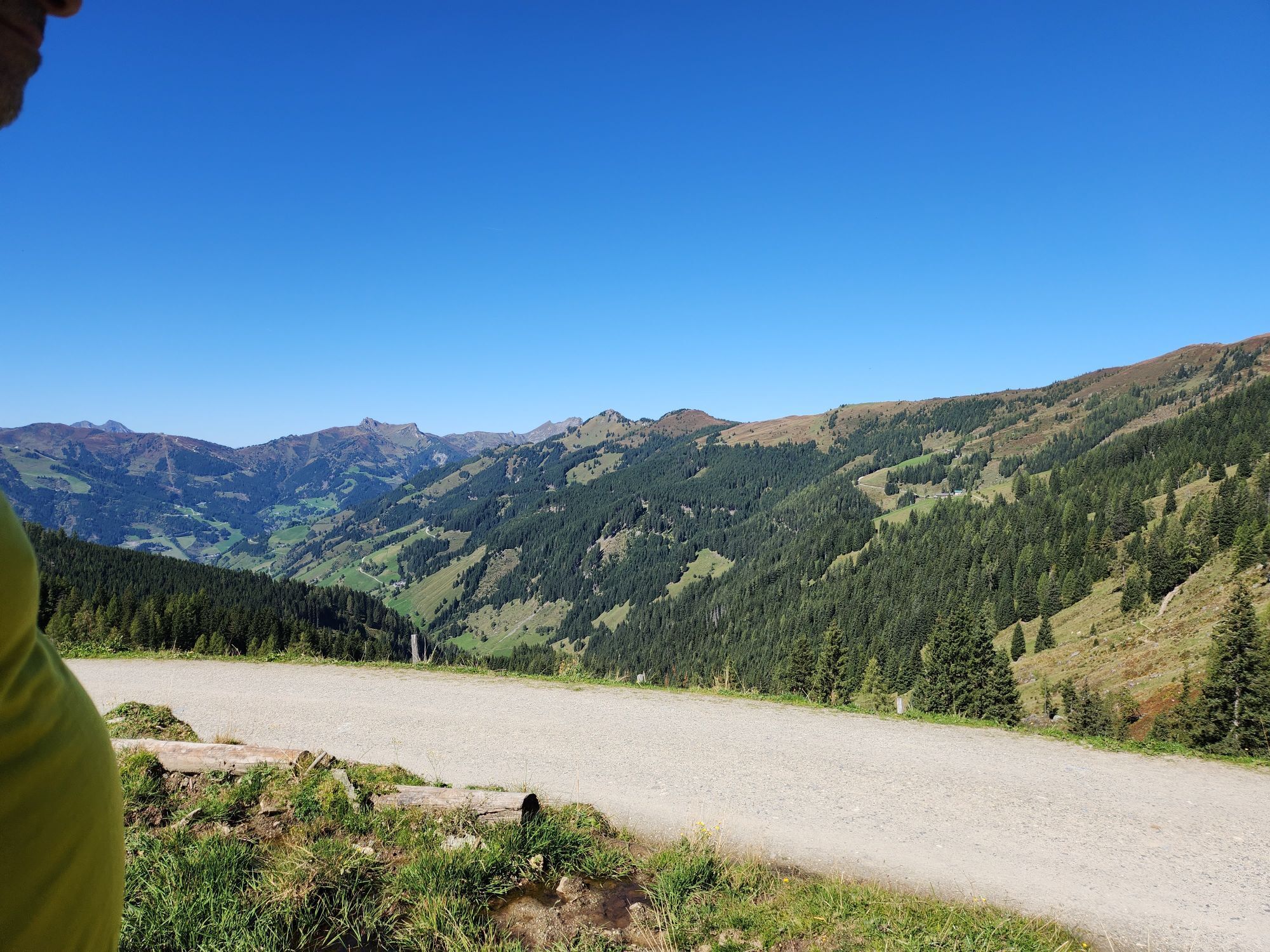
Drive by car or hiking bus into Ellmautal to "Grundlehen" – parking available. Ascent on path No. 62 to Großellmau-Heimalm (not operated) and further on the same path to Ellmaualm,1,794 m (approx. 1 1/2 h). From here a hike on the "Ellmautal-Almsteig" at "mid-height" to the Weißalm, 1,723 m (approx. 1/2 h) – continuing to the Loosbühelalm, 1,769 m (approx. 1/2 h) – further through the "Fleischgraben" past the Achtalm, 1,742 m (not operated) to the Filzmoosalm, 1,710 m (approx. 1 h). Descent on path No. 57, 720 back to the starting point of the route at Grundlehen (approx. 1 h).
Descent from each hut to Grundlehen in approx. 1 hour walking time possible – from the Weißalm (path No. 61) and from the Loosbühelalm (path No. 60).
Ano
Hiking boots with profiled sole, hiking map
Drive by car, hiking taxi or Postbus No. 541 into Ellmautal to the parking lot Grundlehen.
Parking lot Grundlehen
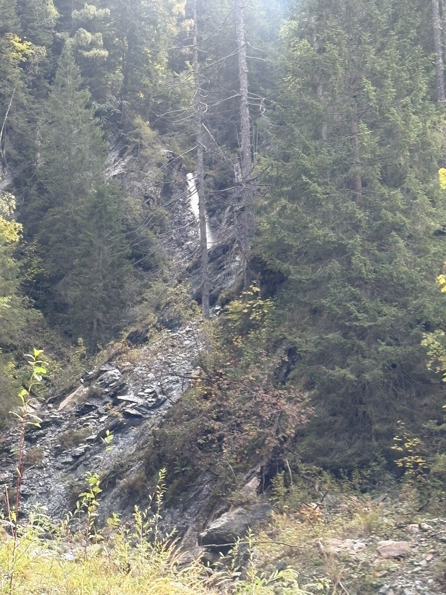
From the Filzmoosalm you can also make a detour to a special natural jewel, the Draugsteinlacke (walking time: approx. 3/4 hour round trip).
Oblíbené prohlídky v okolí
- 4.6
Bahnhof Bad Hofgastein nach Bahnhof Bad Gastein
středníTuristika 13.0 km - 4.5
Mosermandl Windischscharte, Salzburger Land/Österreich
heavyTuristika 14.6 km - 4.5
Wasserfall Bad Hofgastein
světloTuristika 3.89 km - 4.2
Ennskraxn (2410m)
heavyTuristika 14.7 km - 4.5
Ski tour Liebeseck
heavyLyžařská trasa 14.1 km - 4.6
Mountain route from the Kötschachtal to the natural jewel Reedsee
středníTuristika 12.5 km - 4.5
Penkkopf via Kleinarler hut from Kleinarl
středníLyžařská trasa 4.35 km - 4.8
Liechtensteinklamm mit Helix
světloTematická stezka 3 km - 4.8
Großarl: Mooslehenalm – Niggeltalalm – Viehhausalm
středníTuristika 5.44 km - 4.4
Tappenkarseehütte von Schwabalm
světloTuristika 5.04 km
Pěší turistika a stopování


Nenechte si ujít nabídky a inspiraci pro vaši příští dovolenou
Vaše e-mailová adresa byl přidán do poštovního seznamu.