






Grossarl: Gründegg

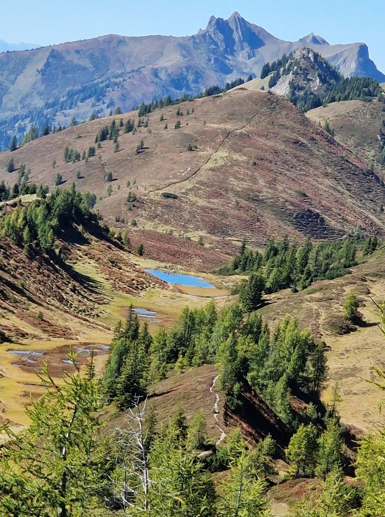
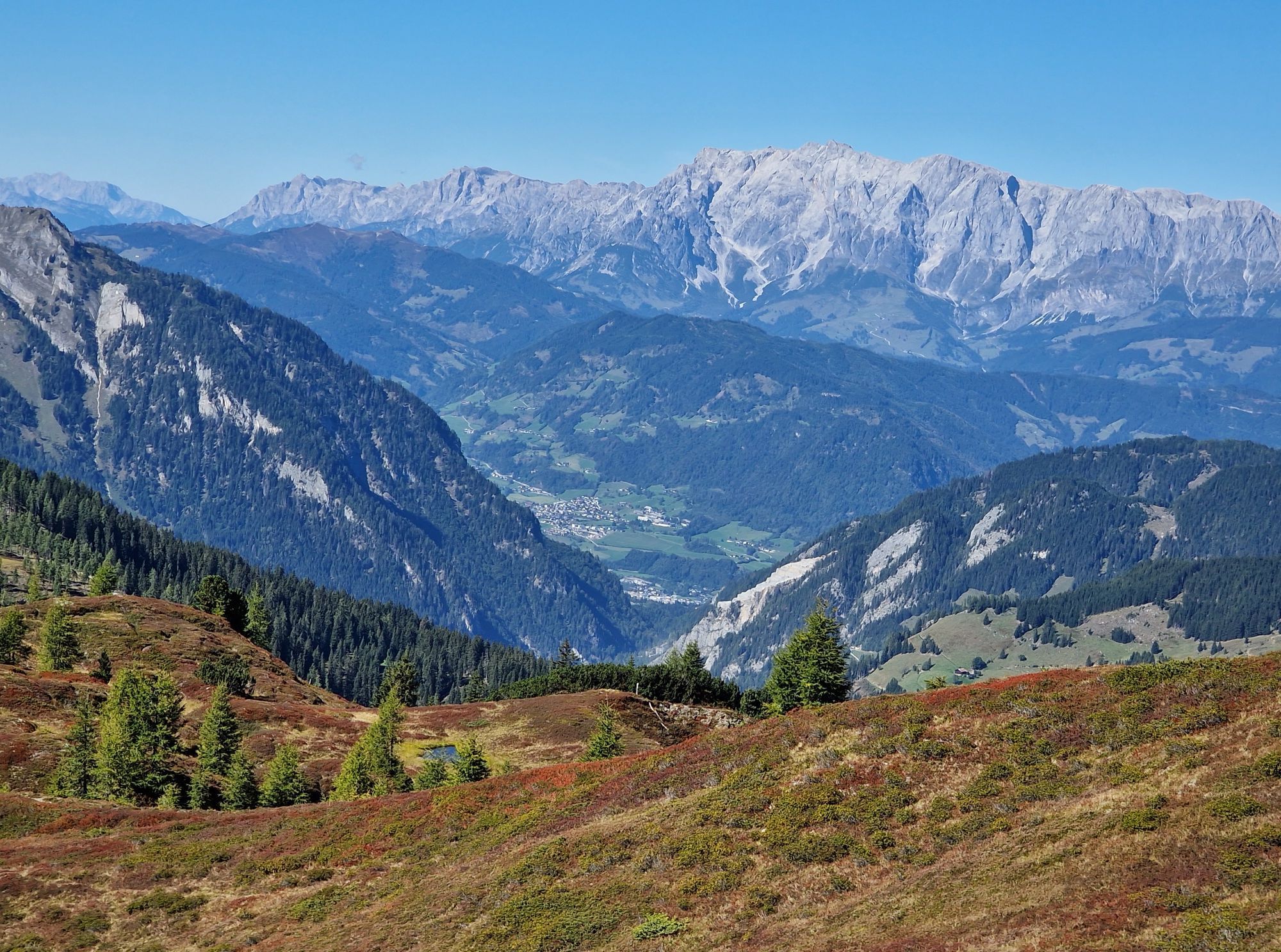
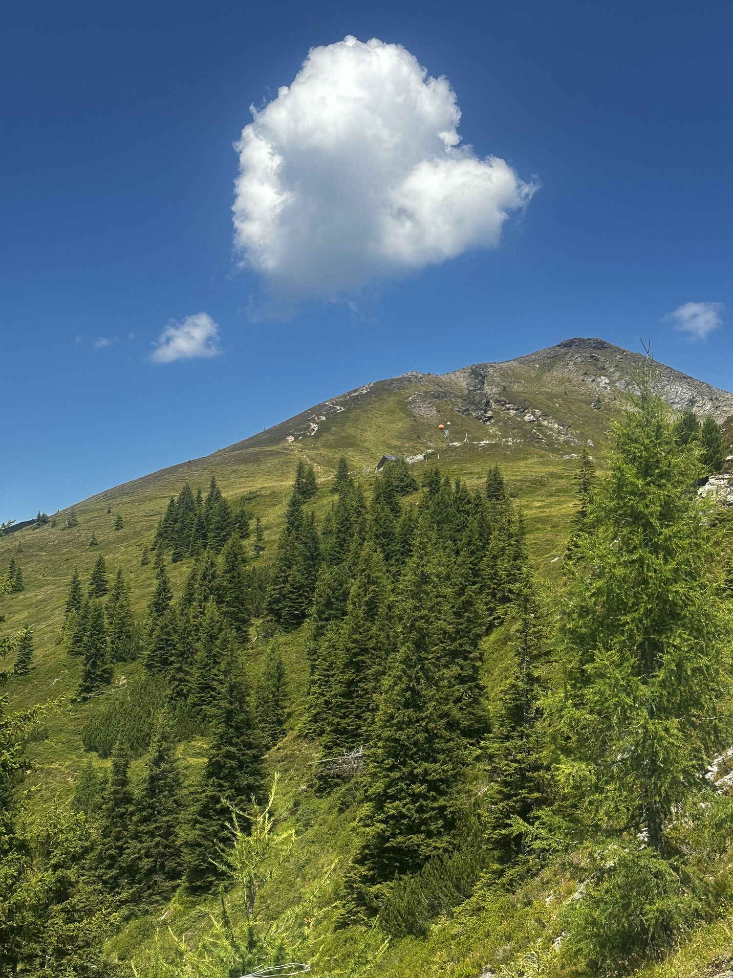
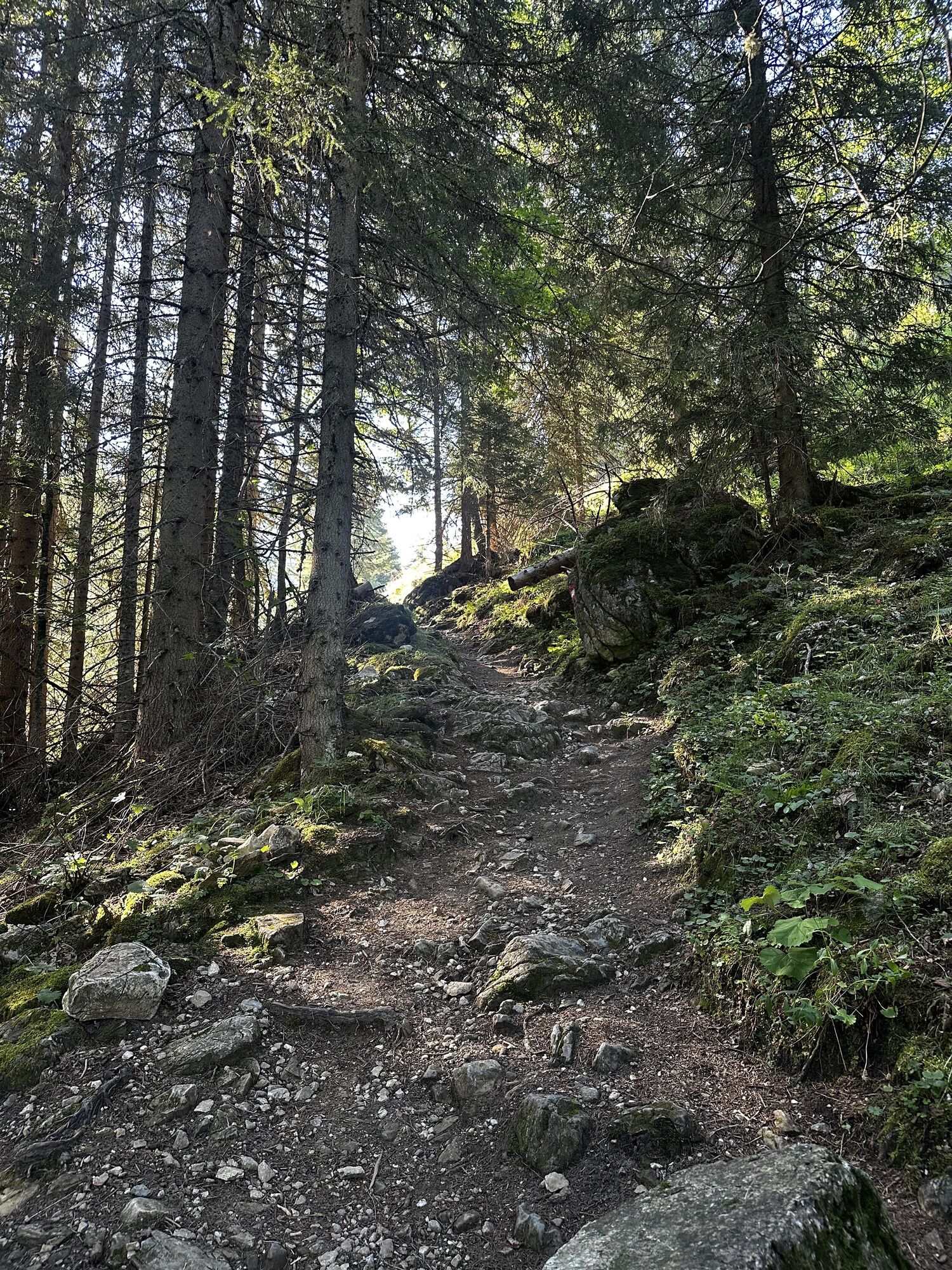
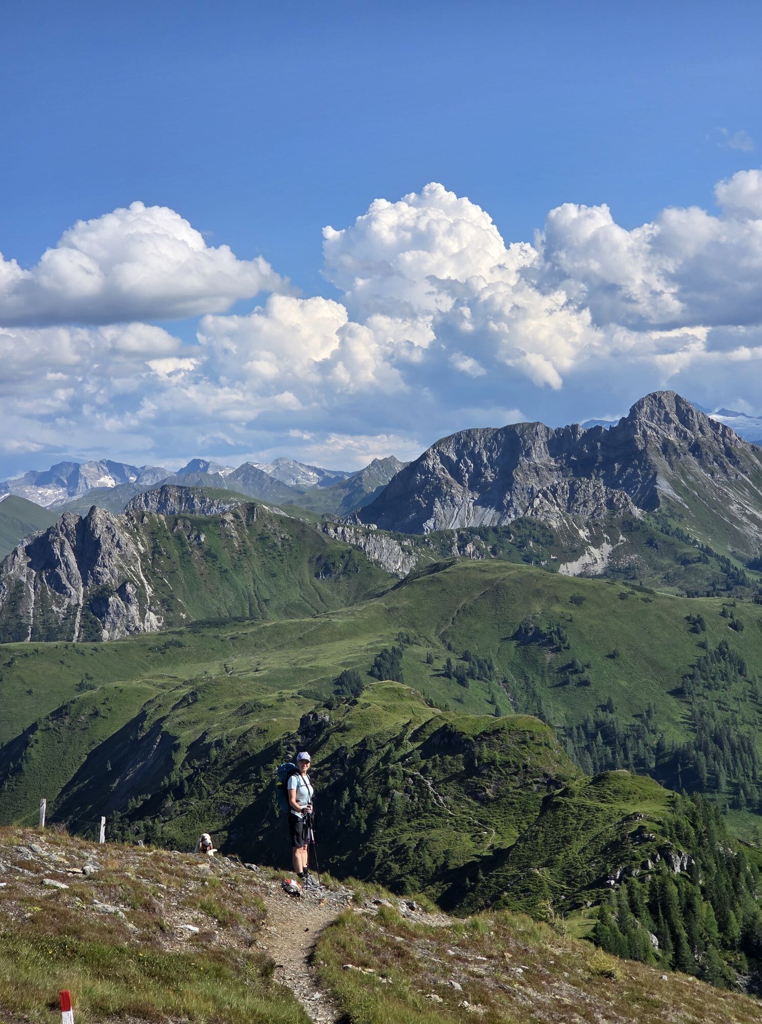
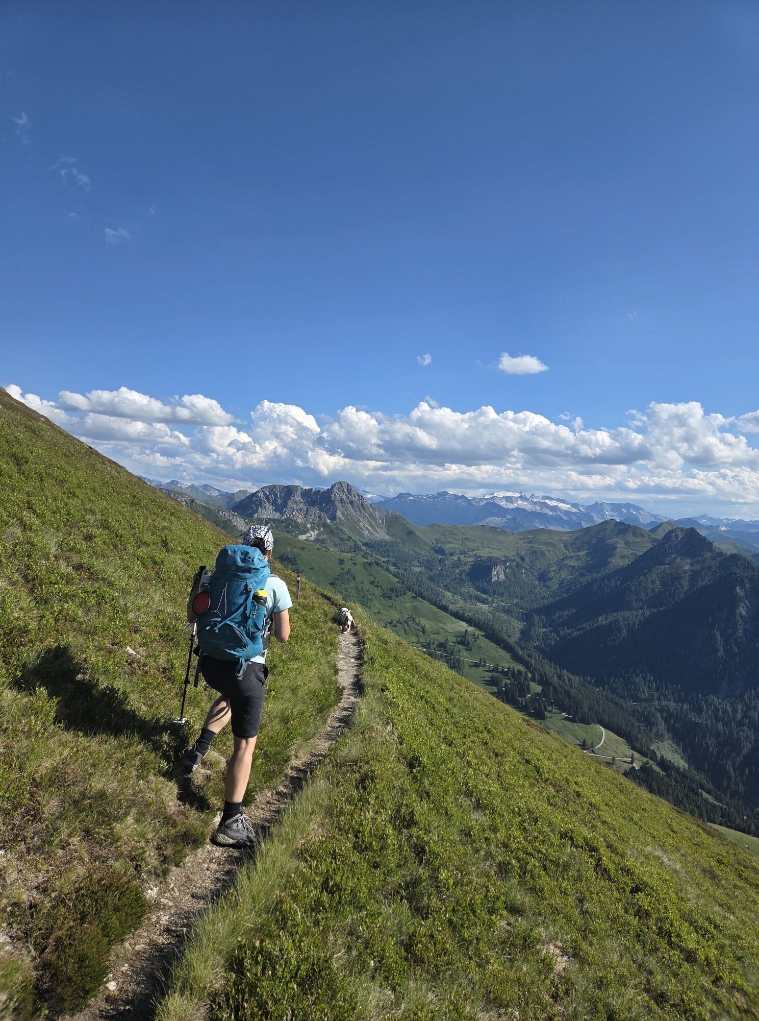
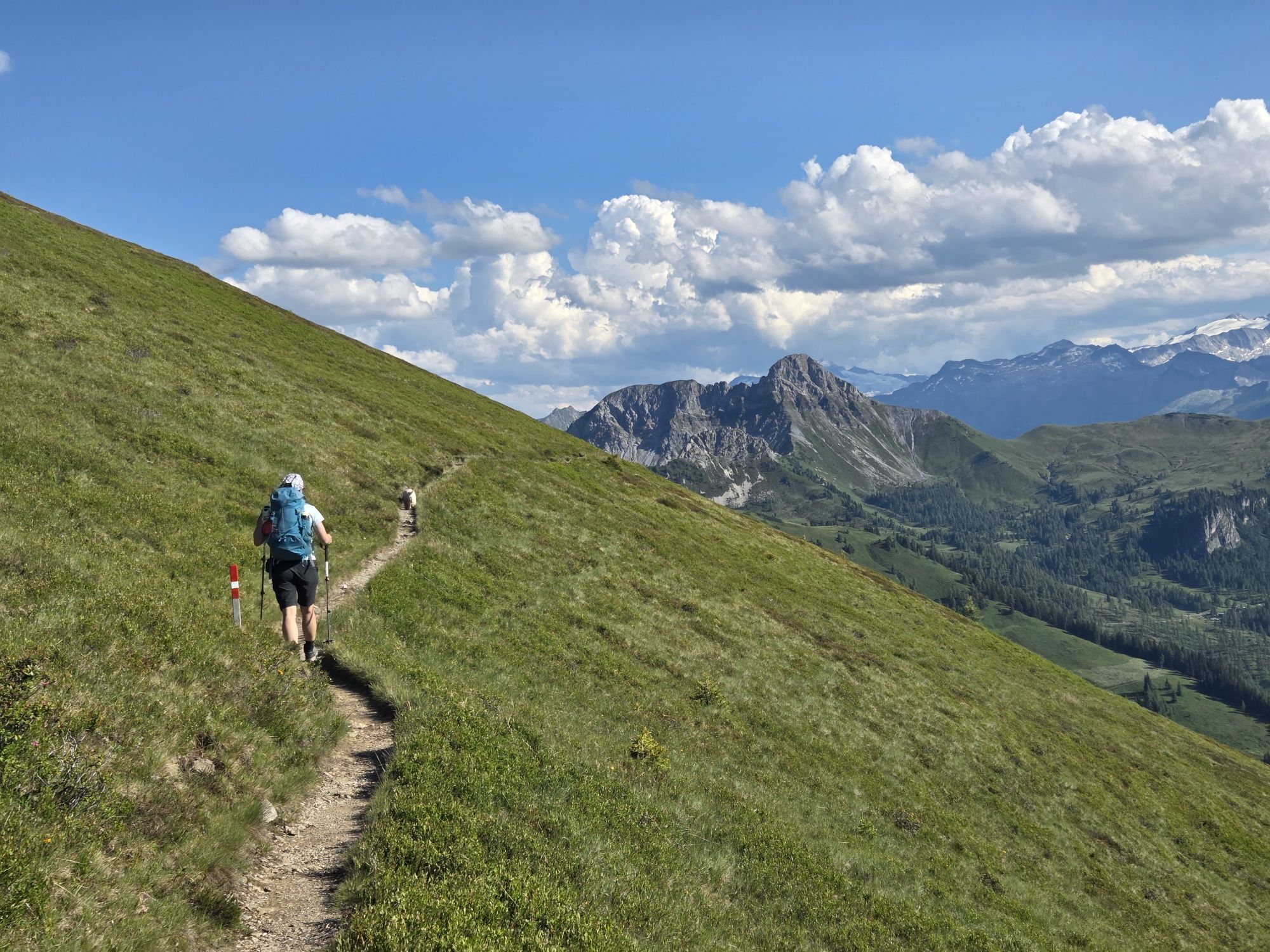
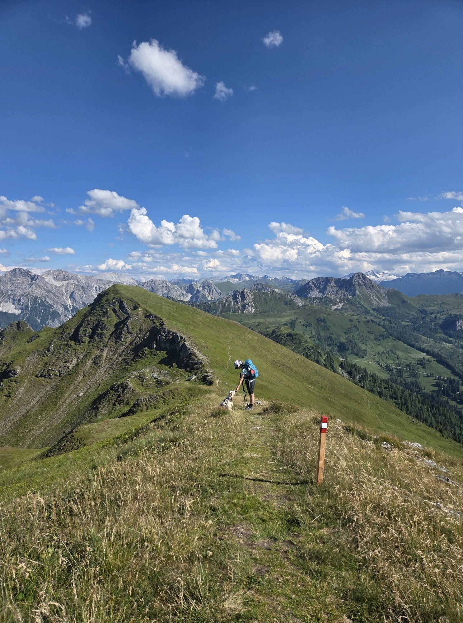
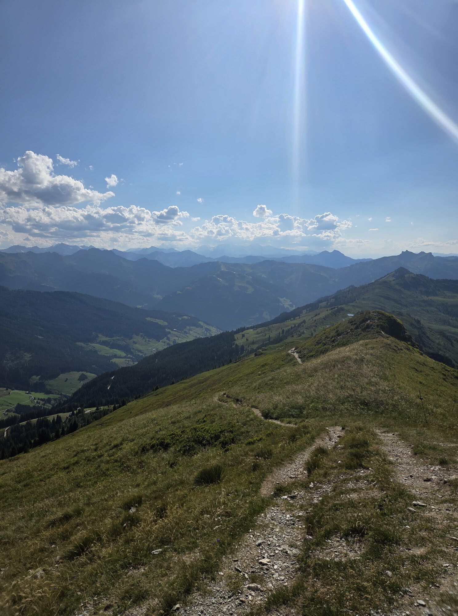
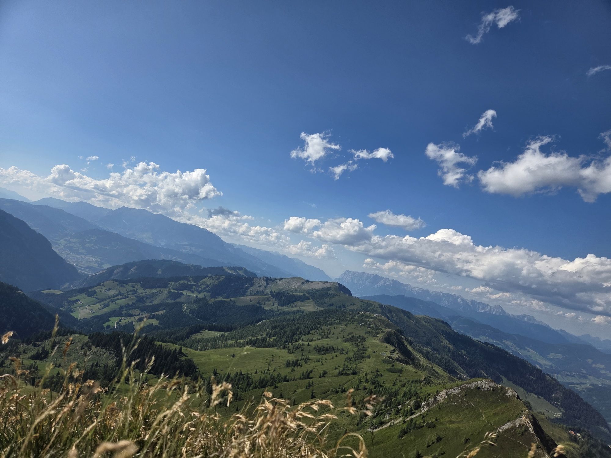
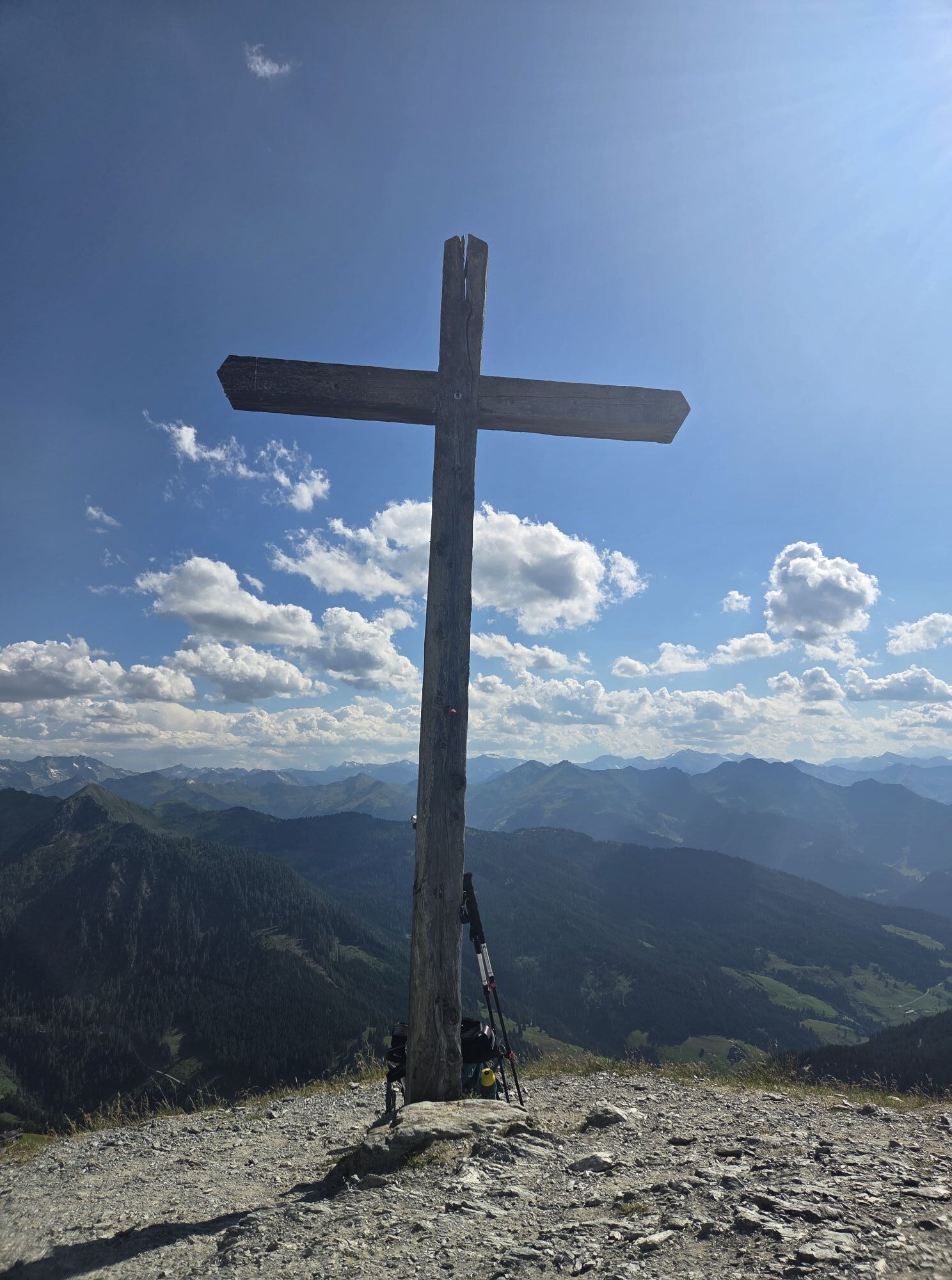
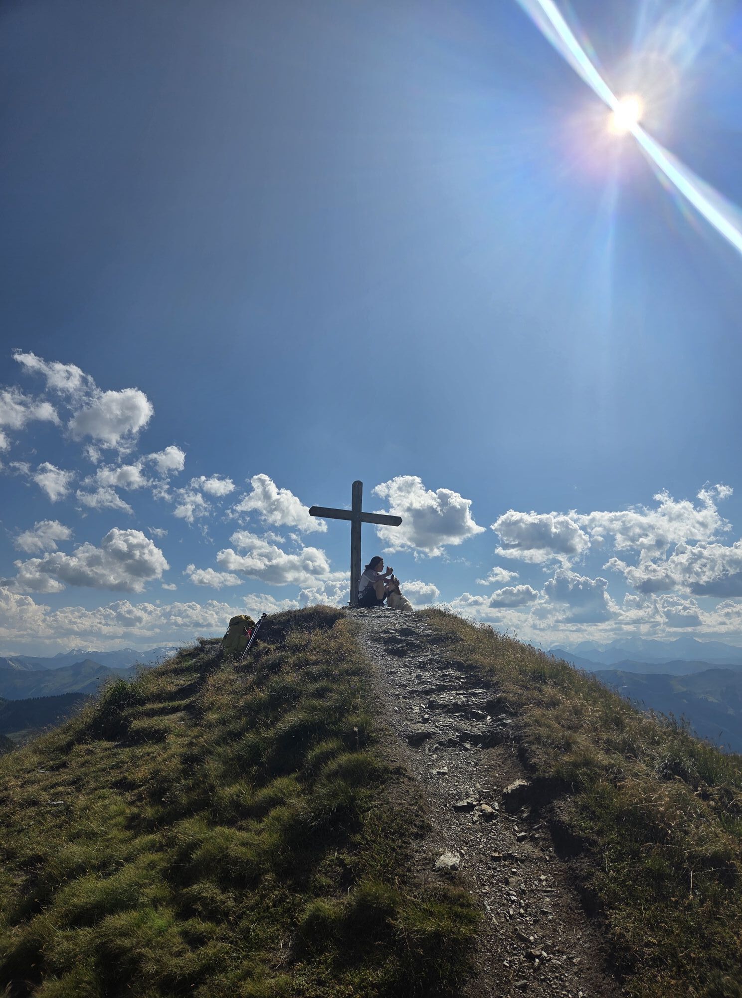
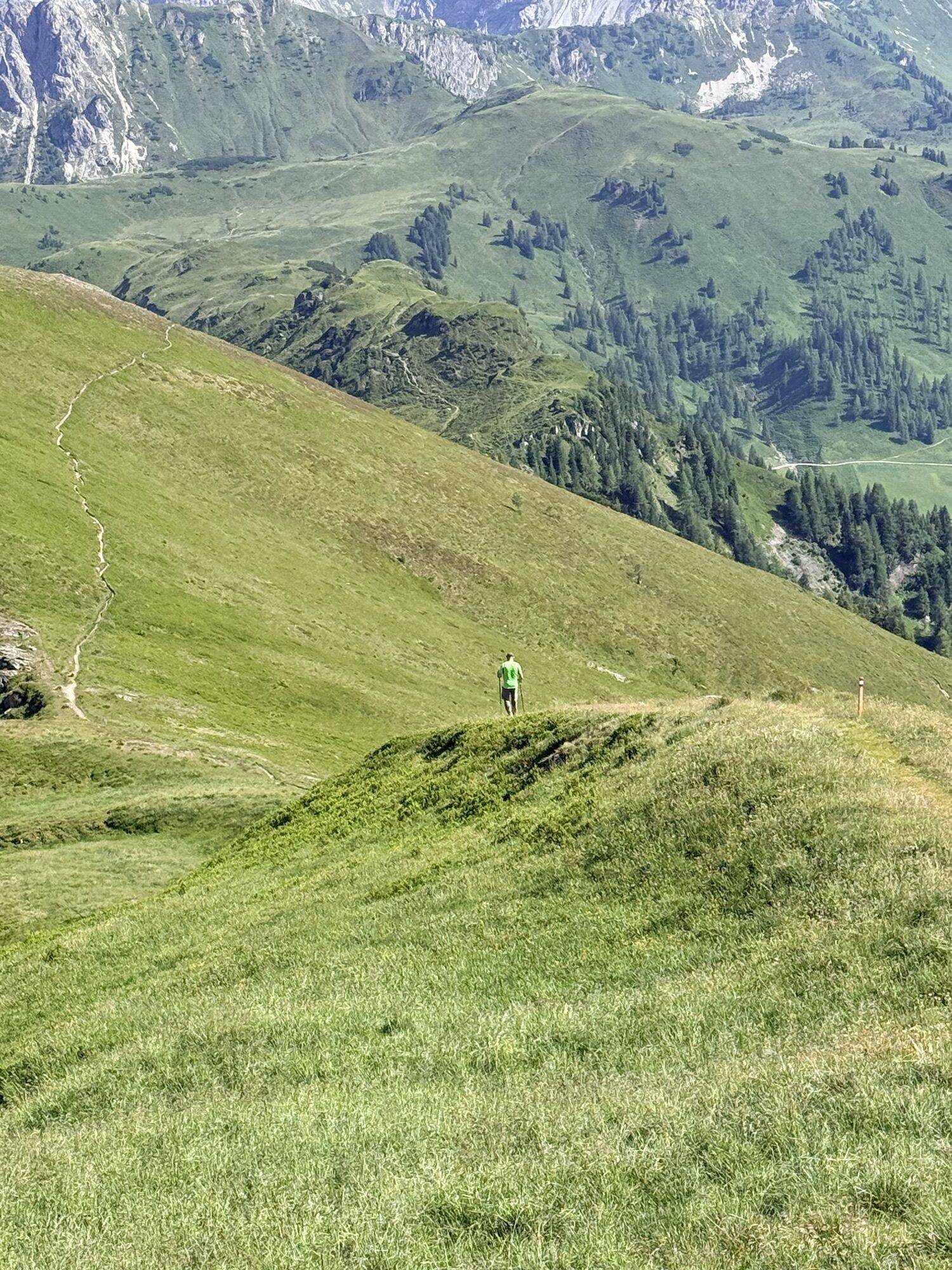
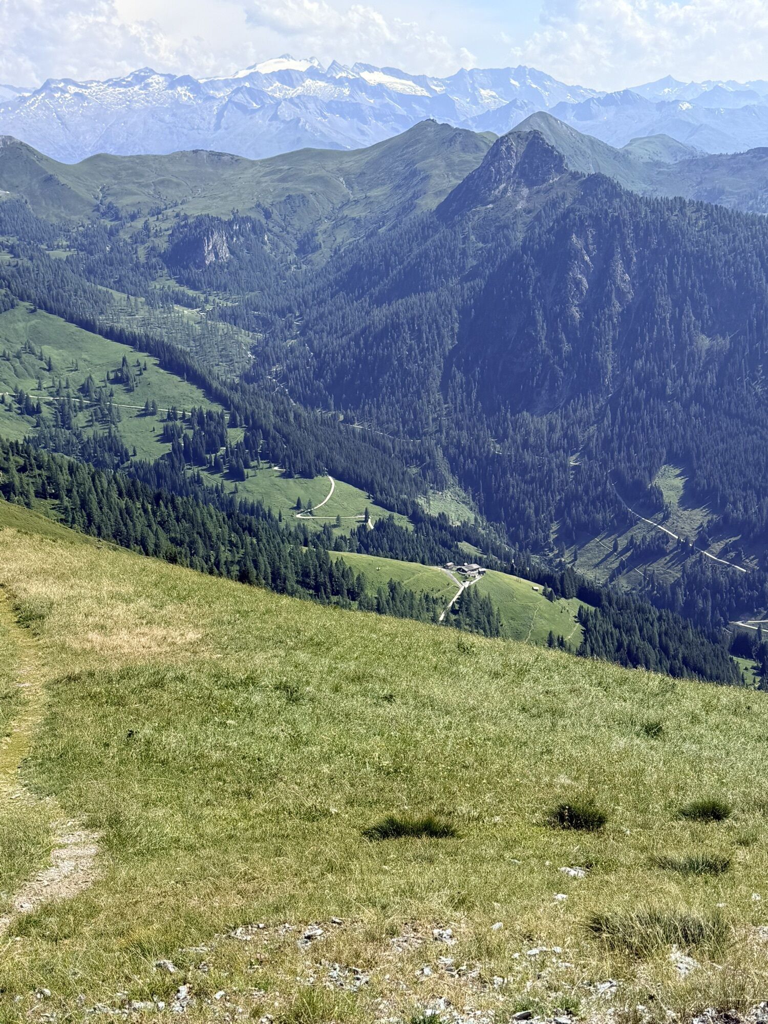
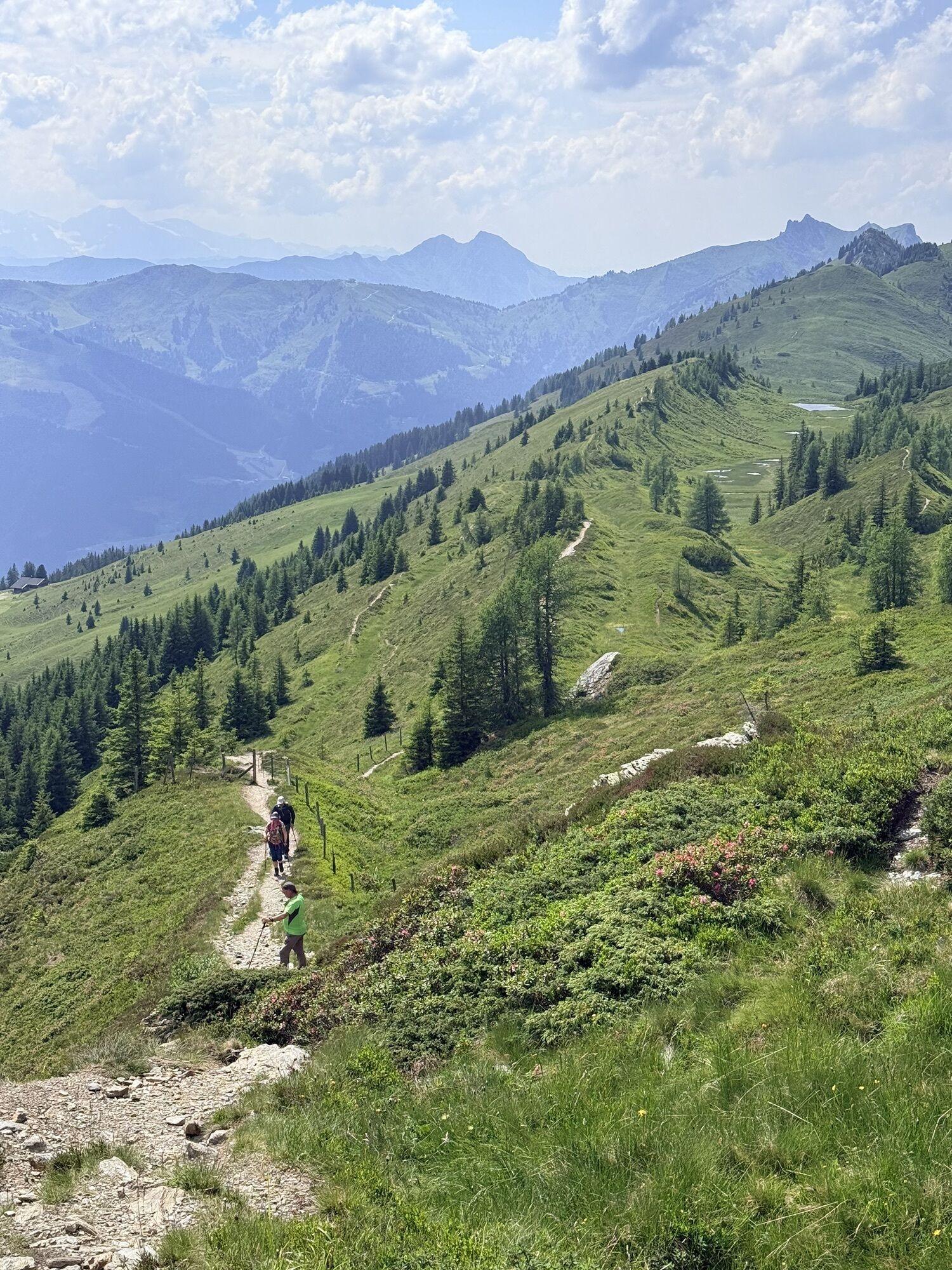
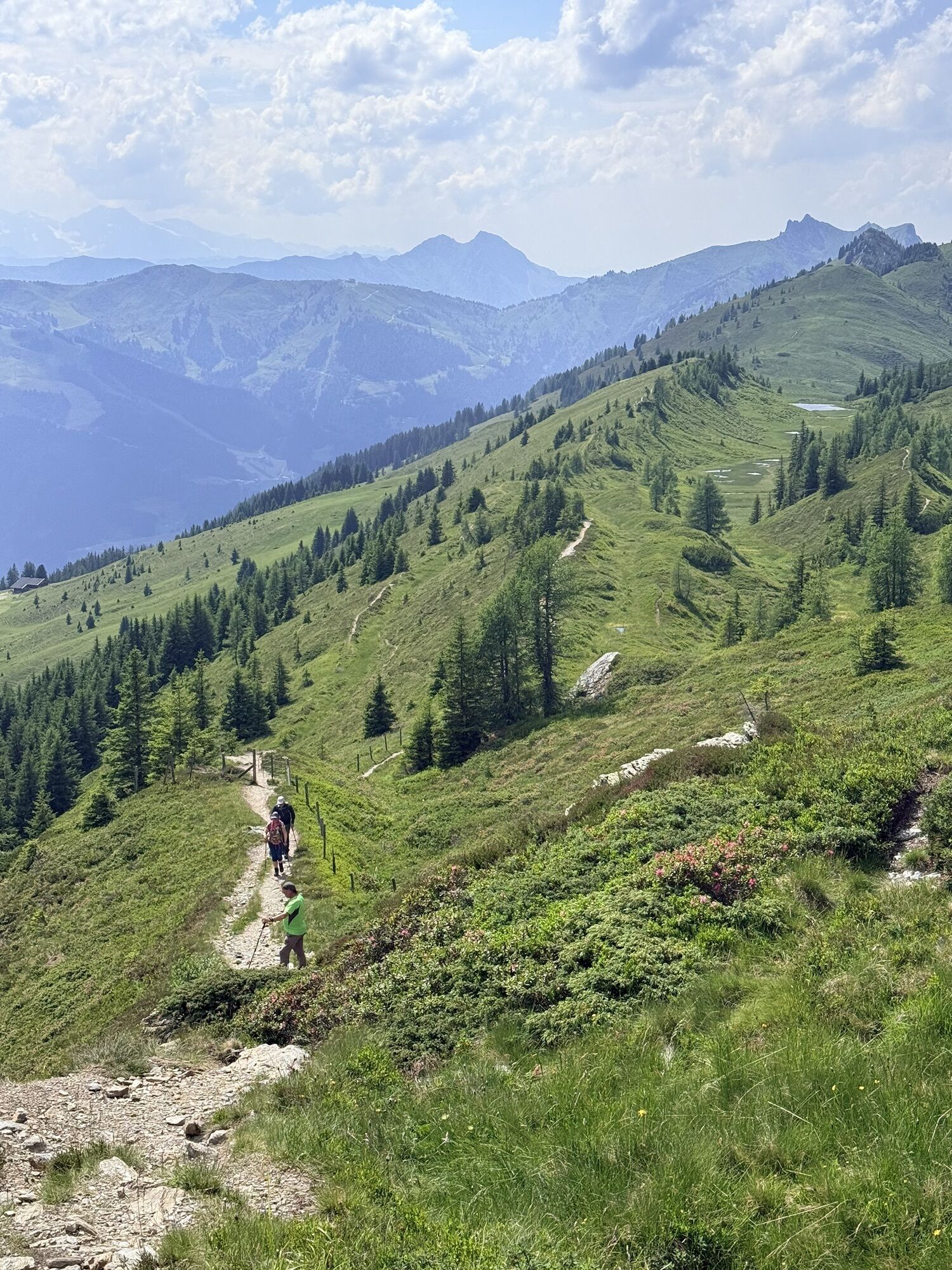
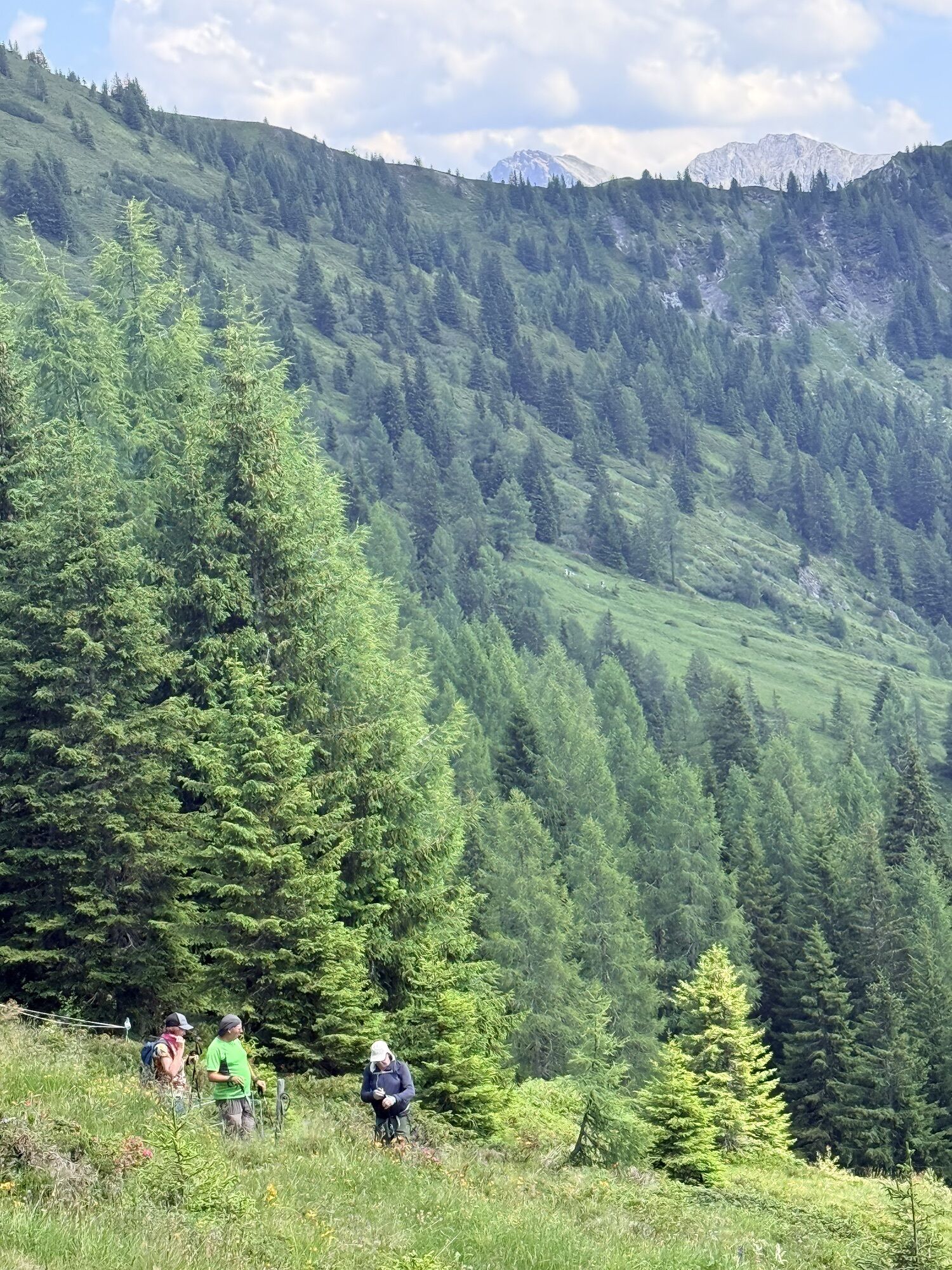
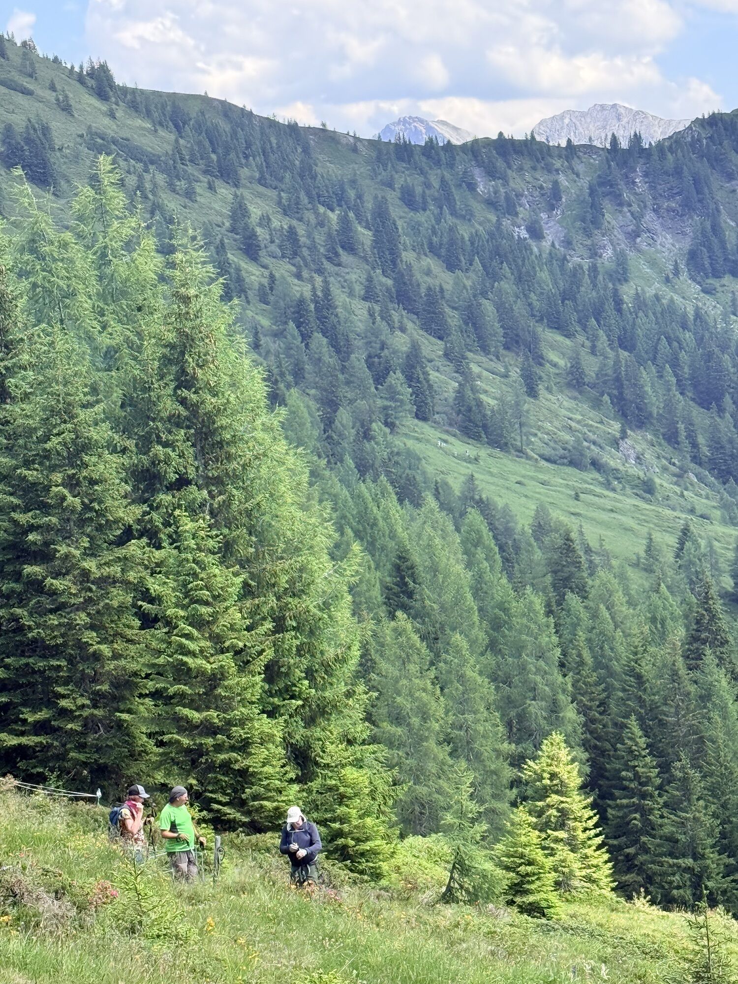
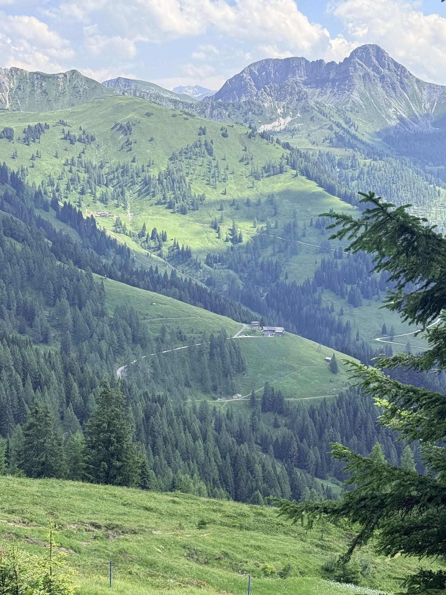
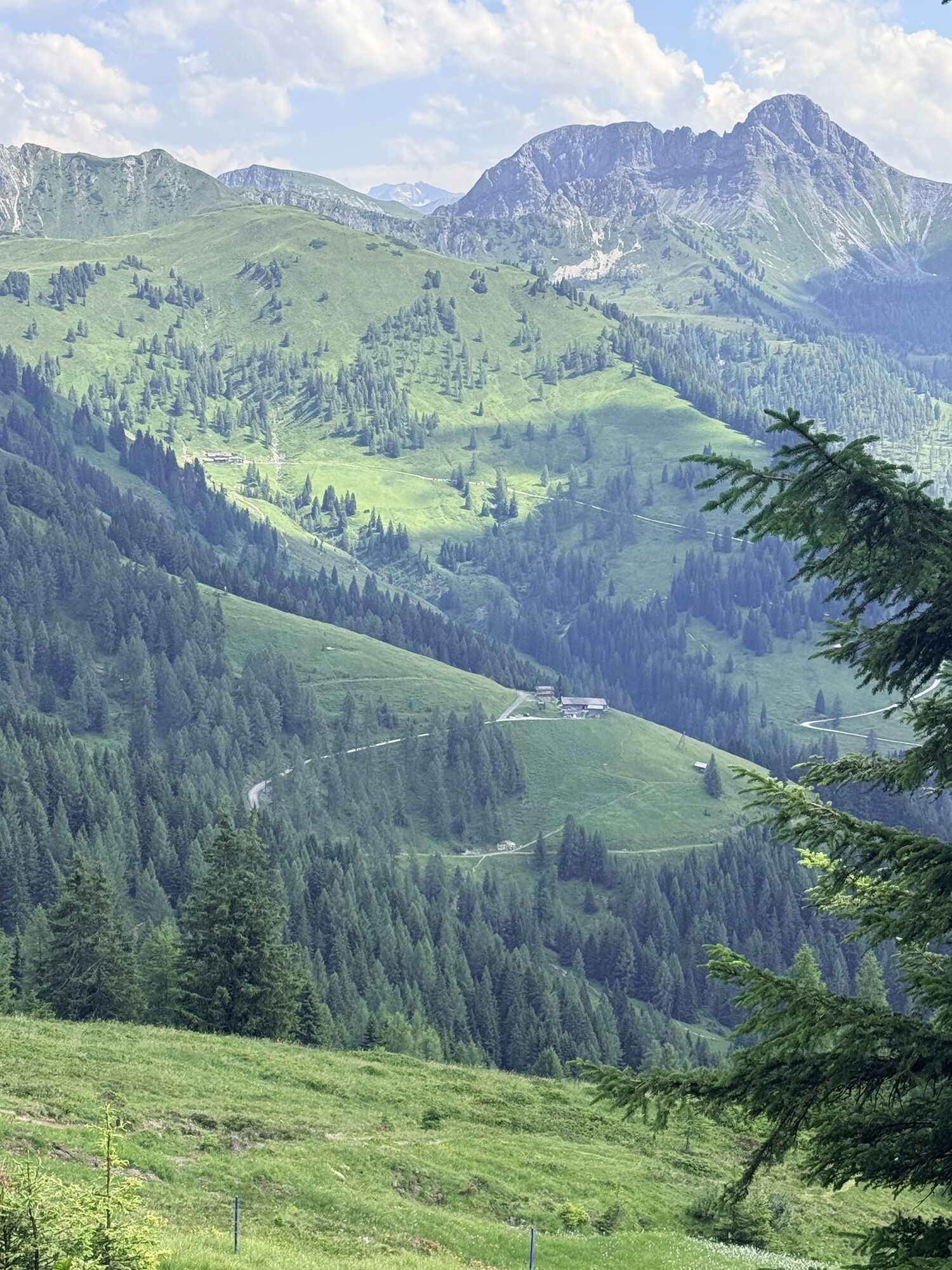
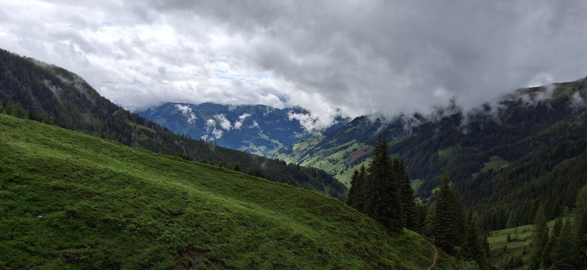
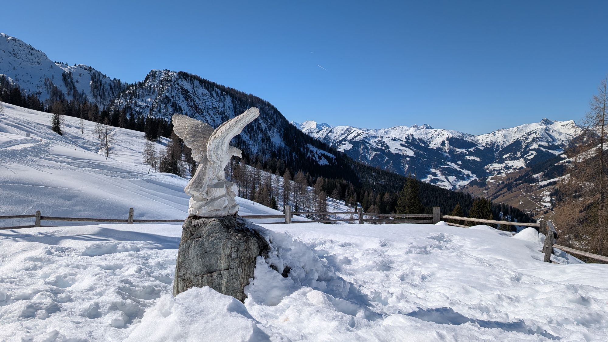
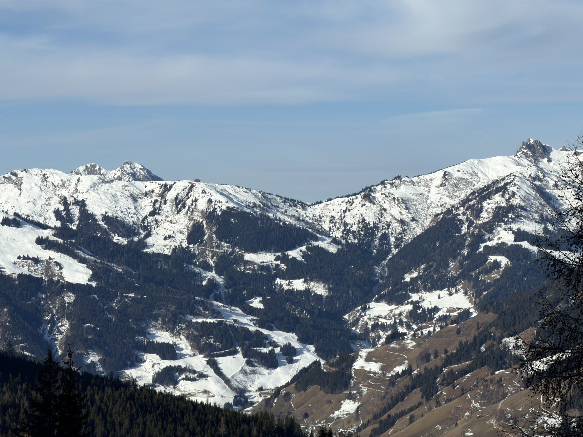
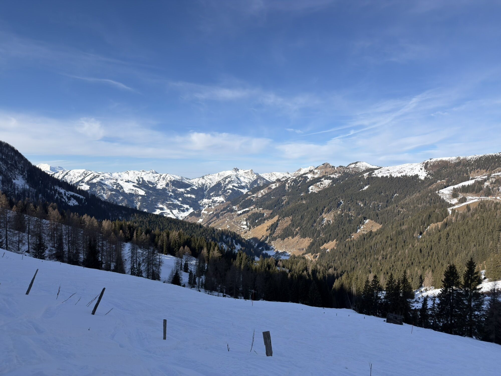
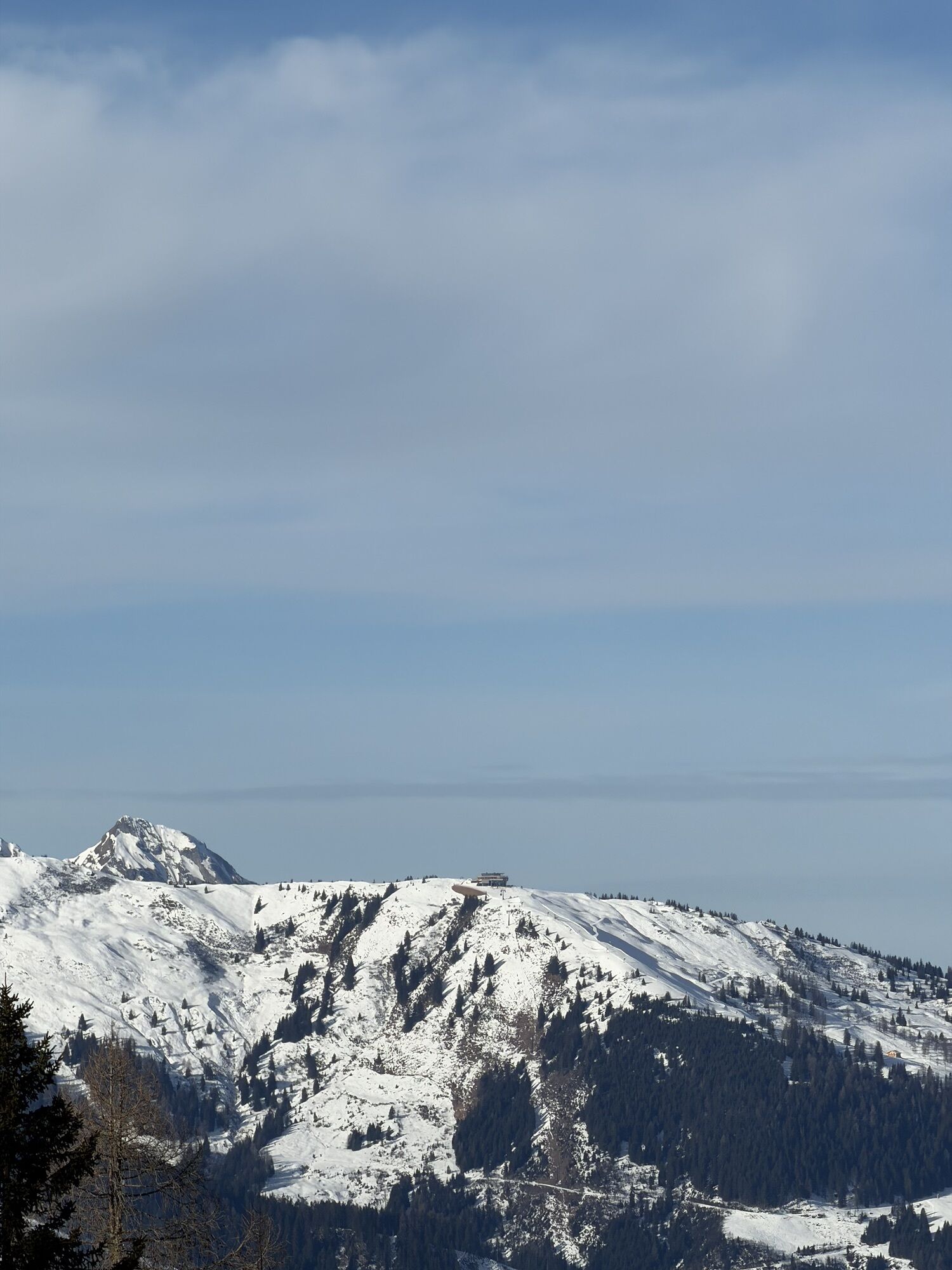
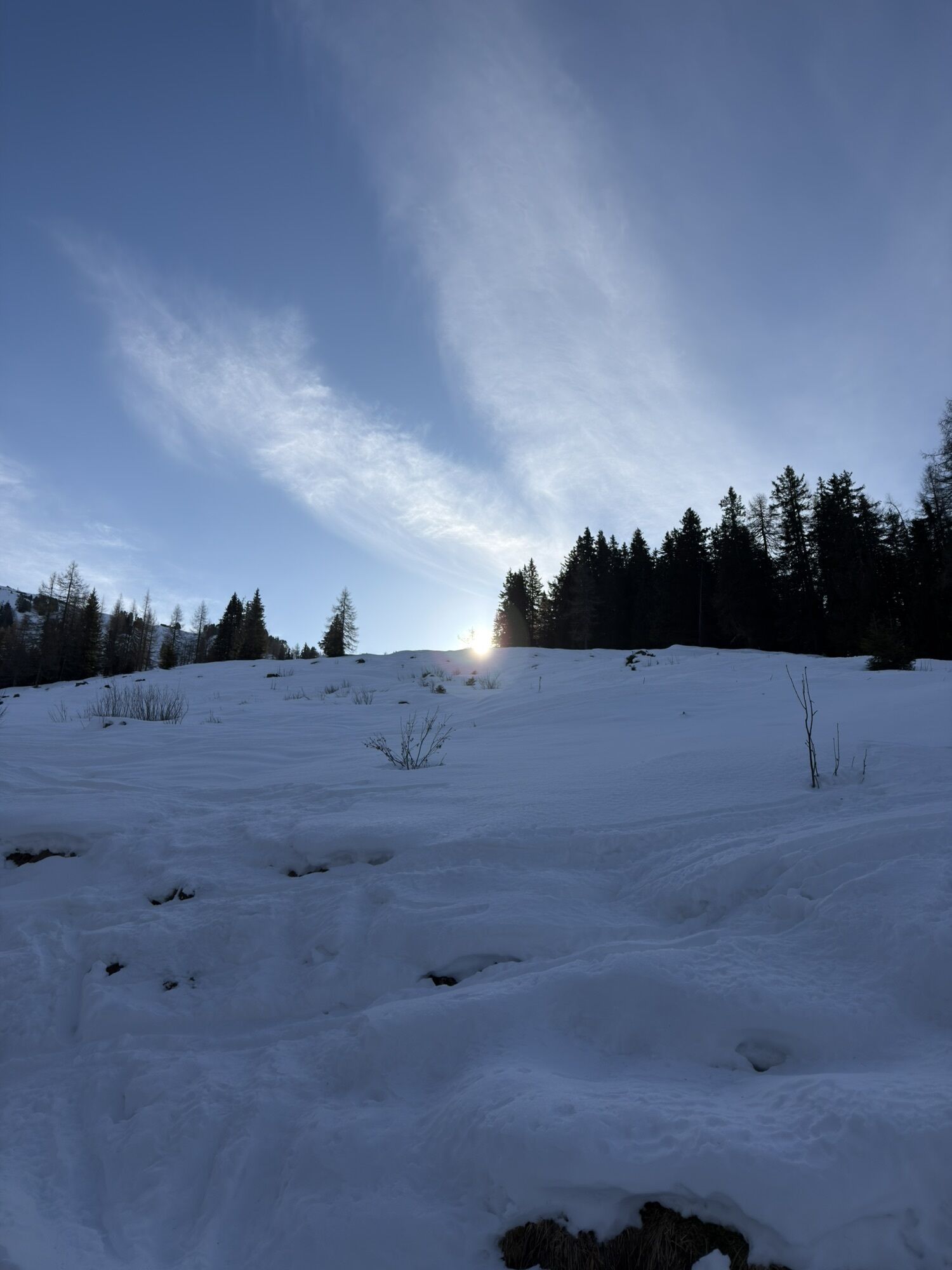
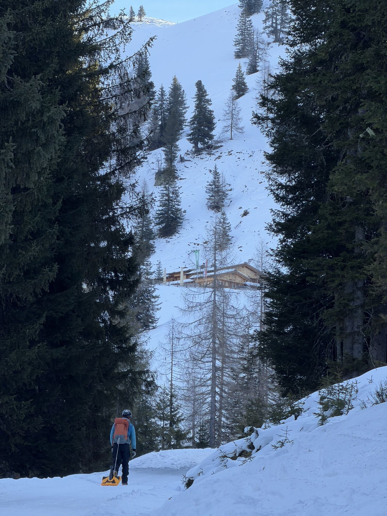
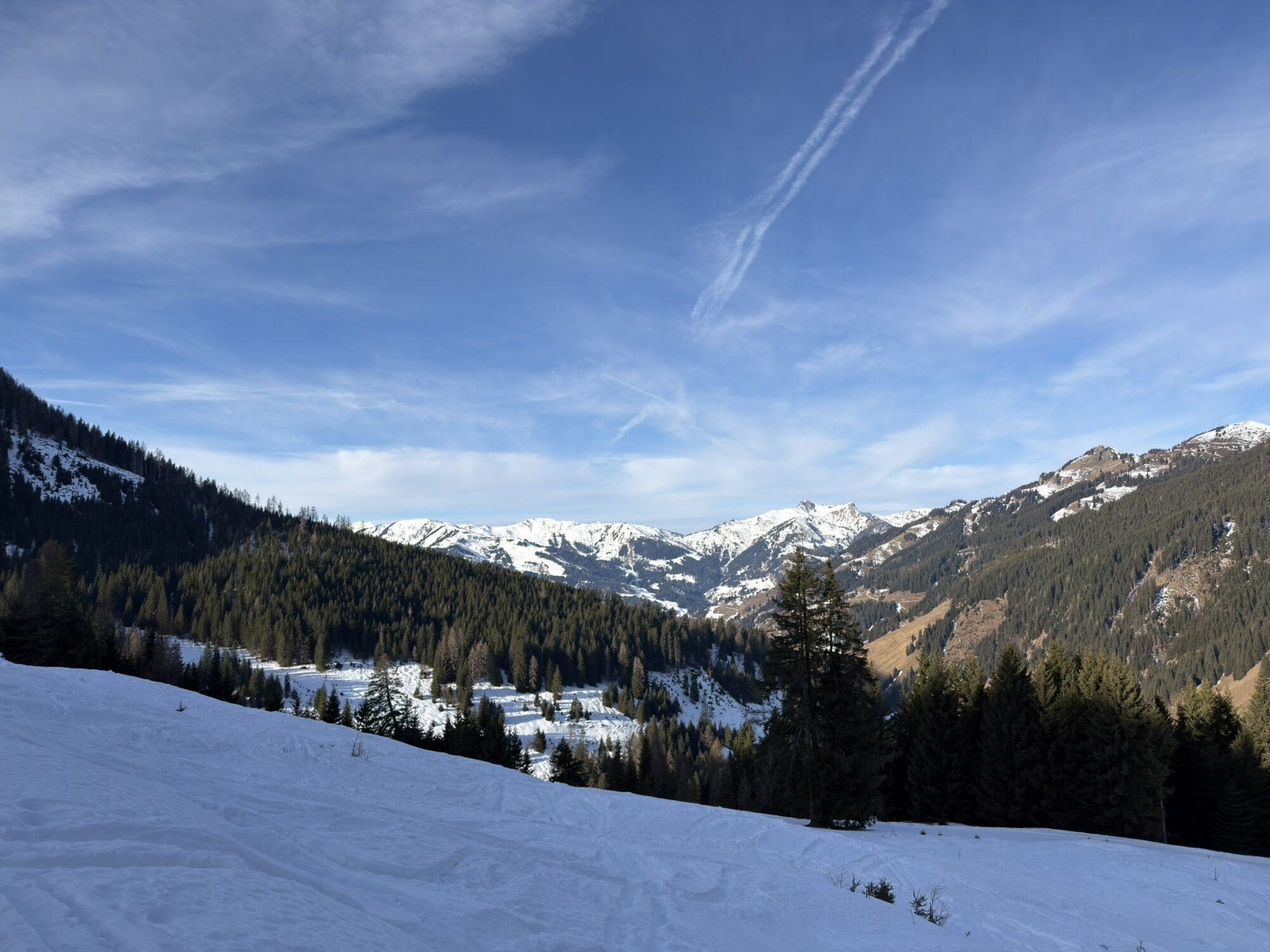
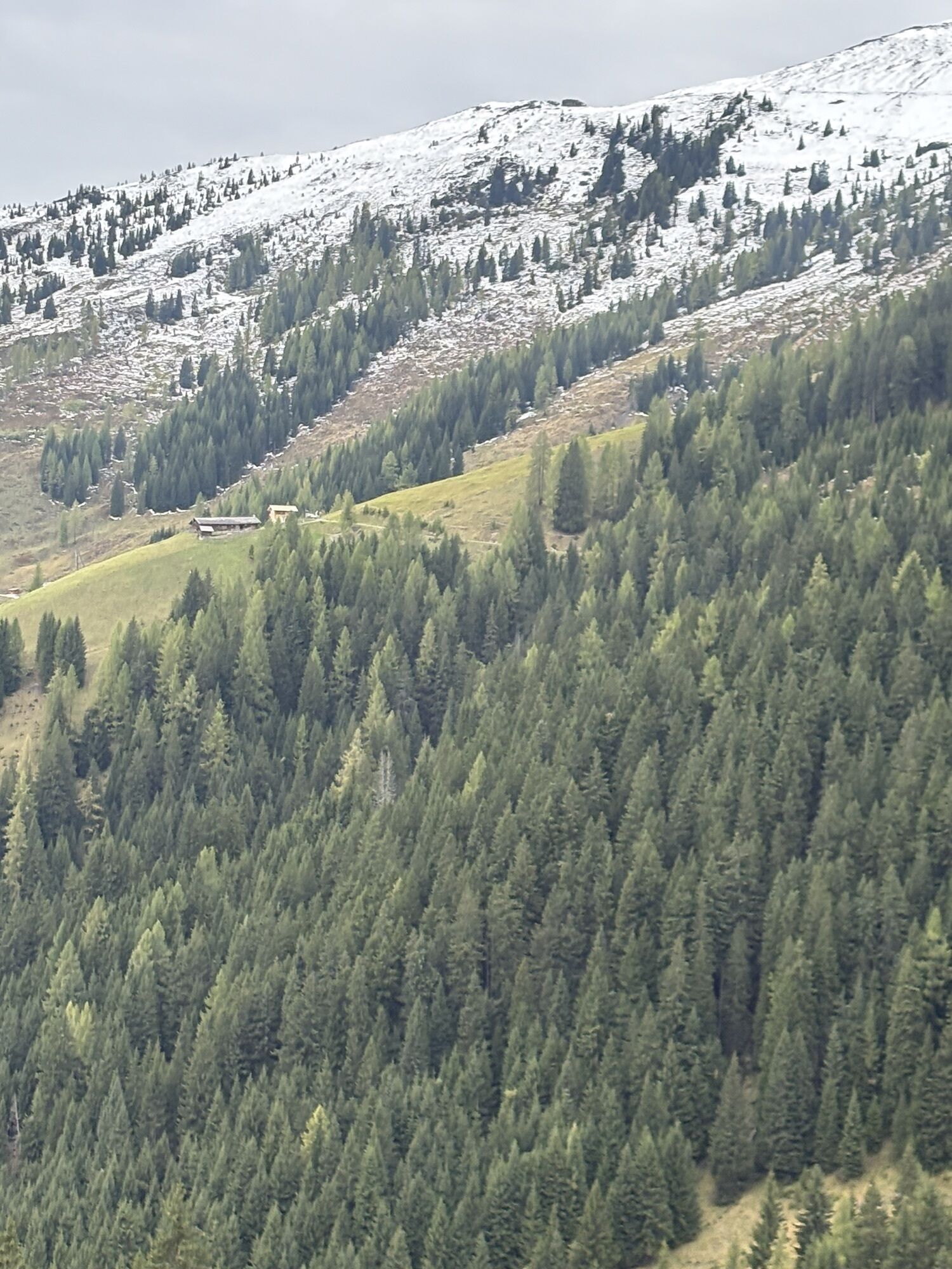


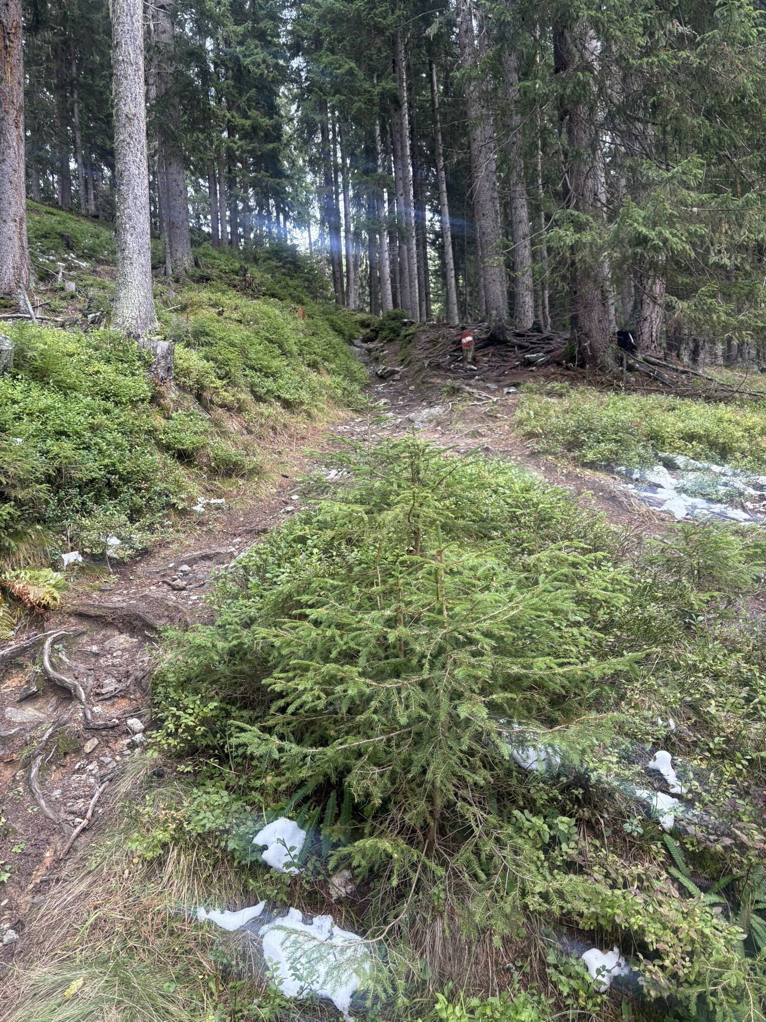
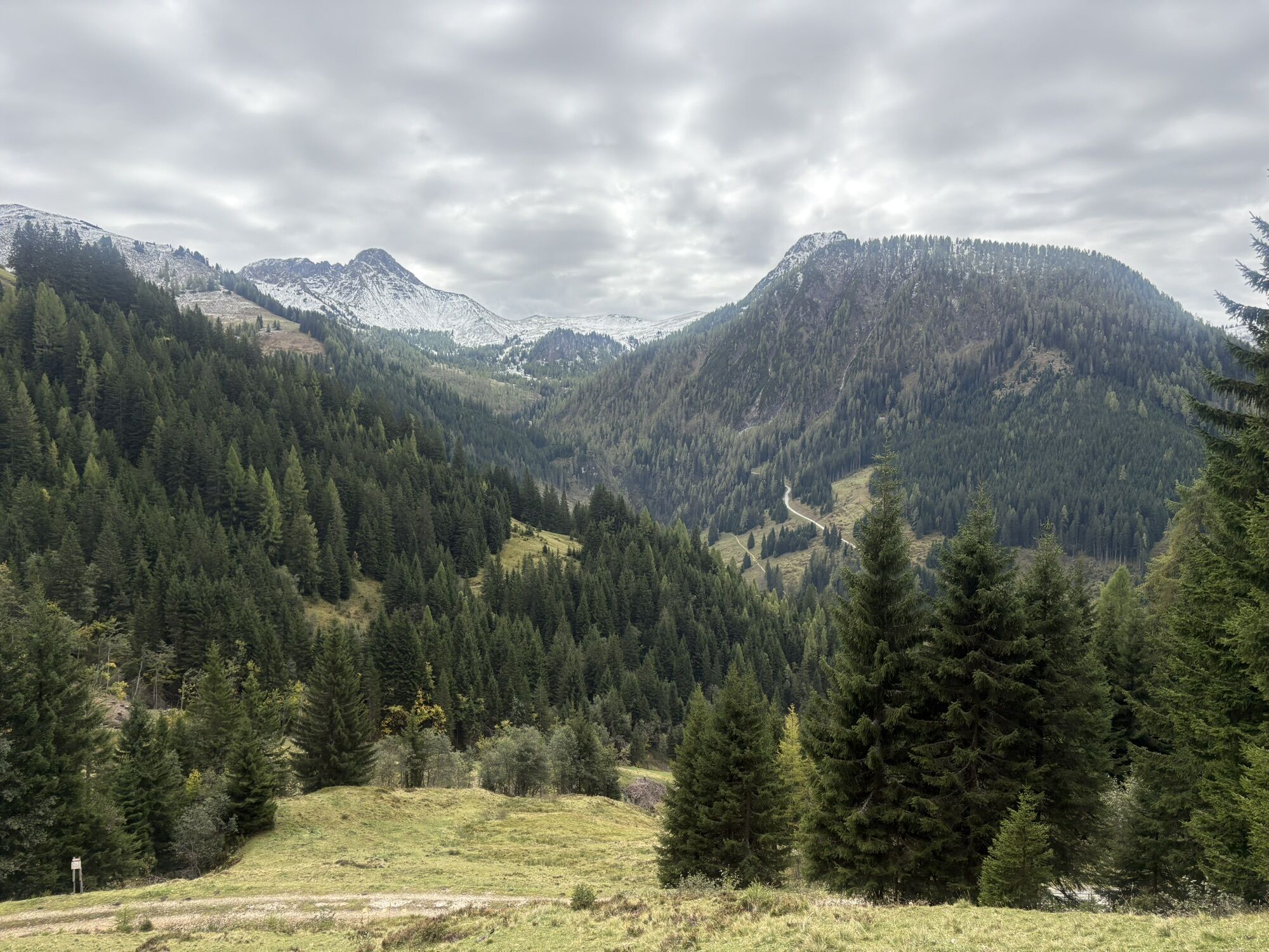
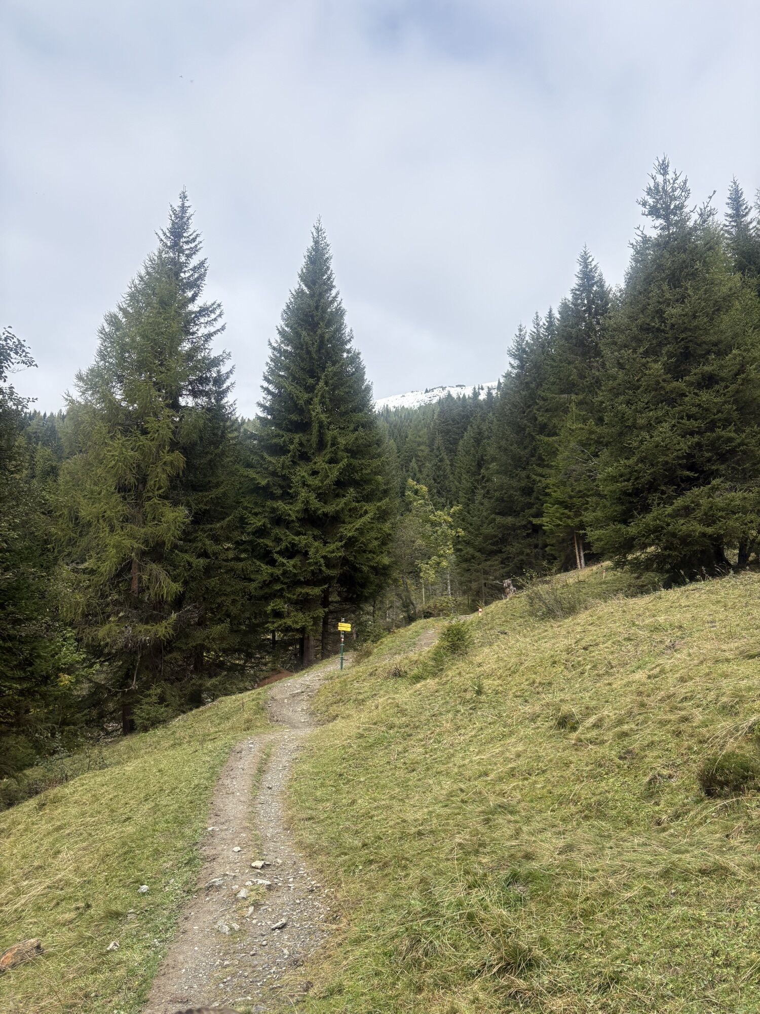
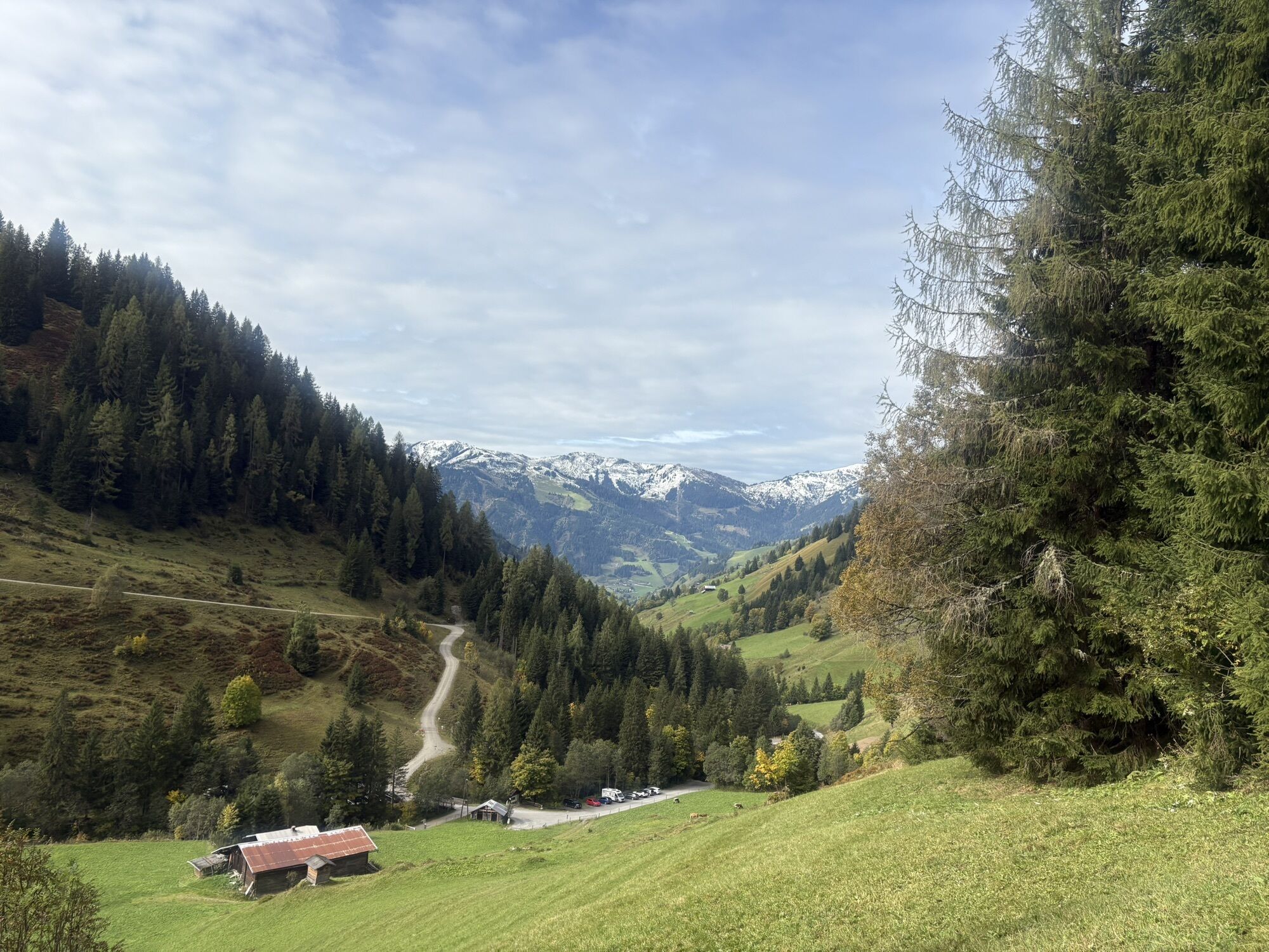
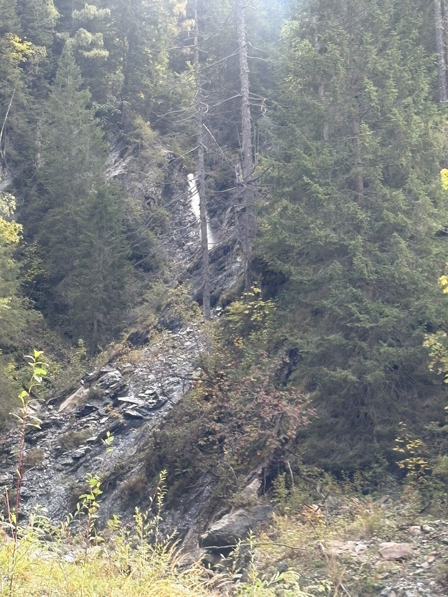
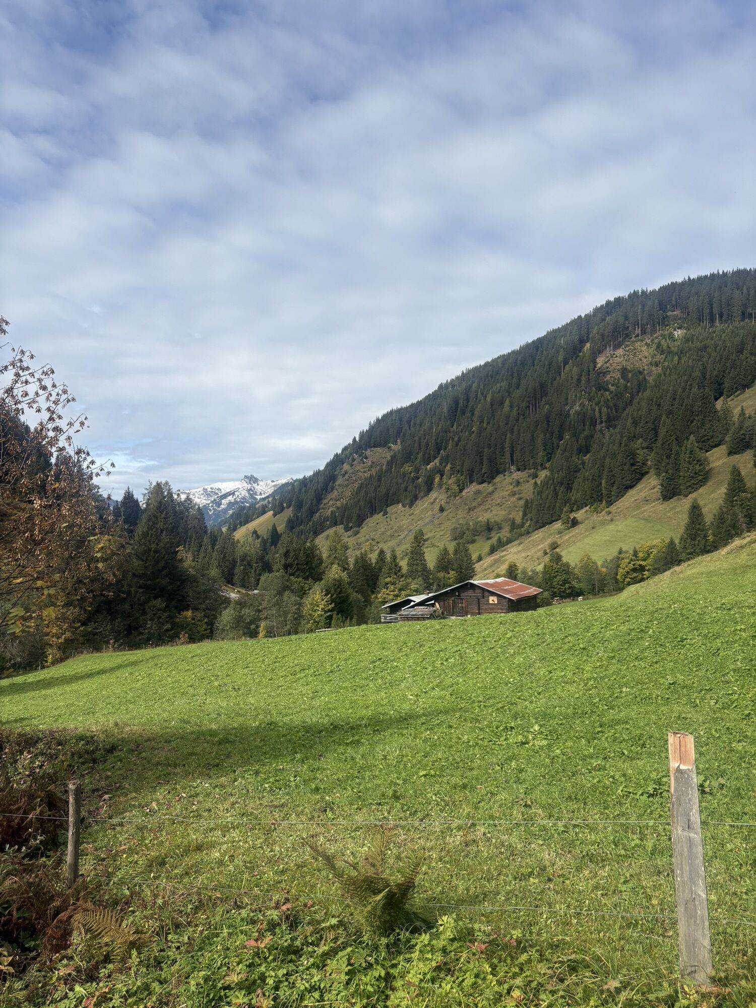
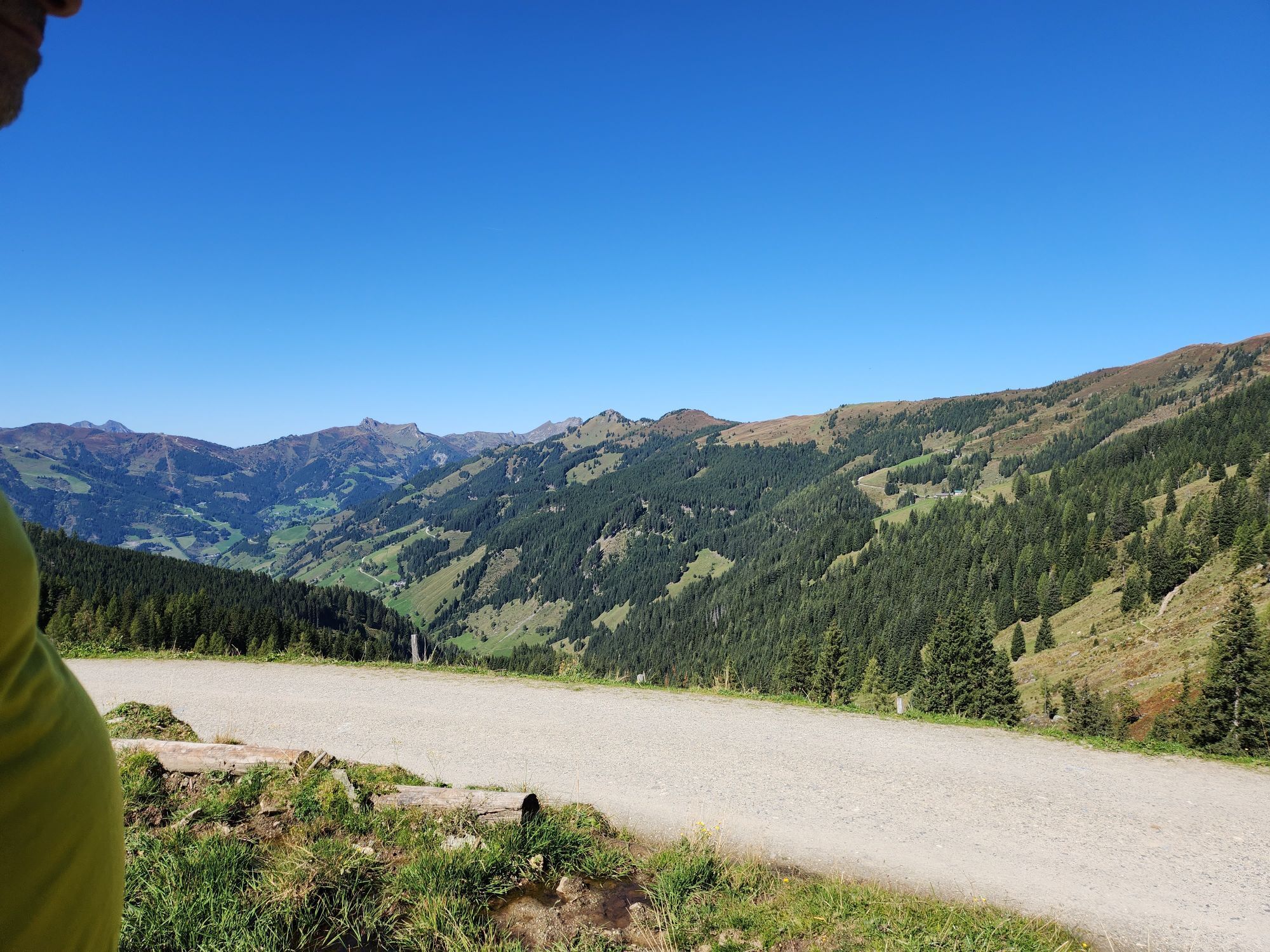
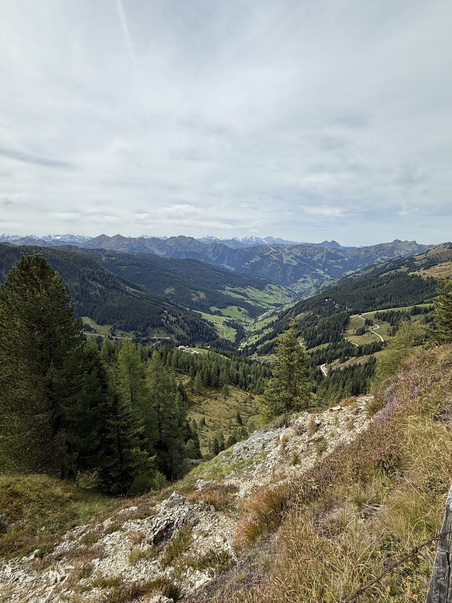
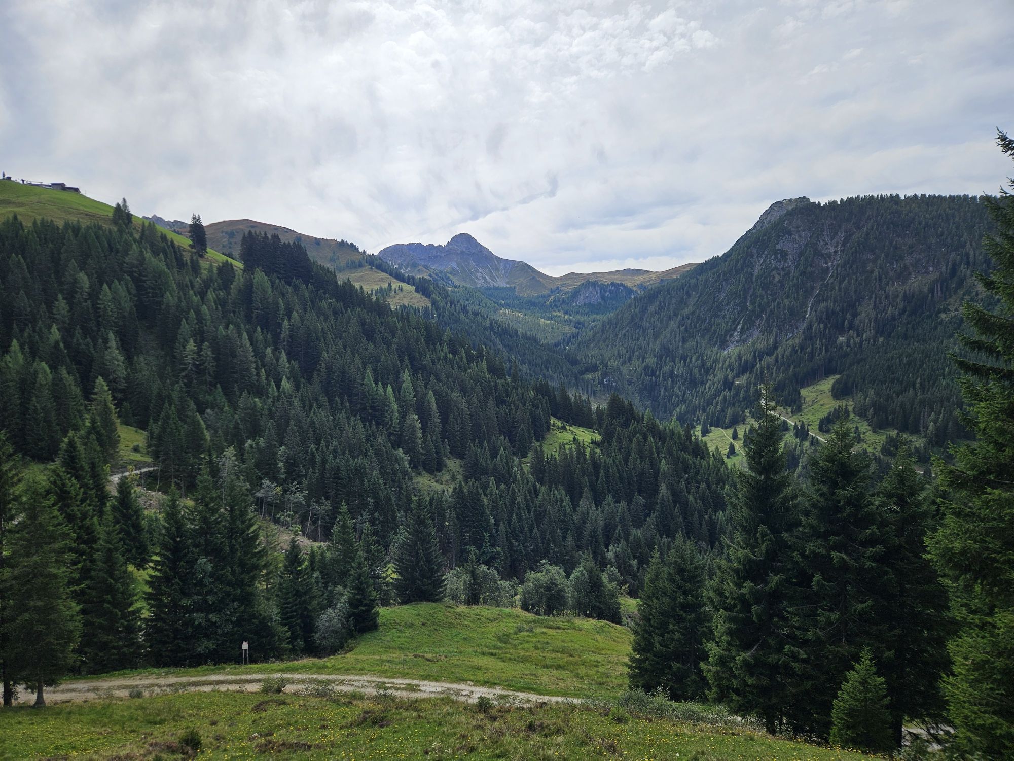
This mountain tour starts in Ellmautal at the parking space Grundlehen. You hike up on an path first through the forest then through meadows to the Ellmaualm. You pass the Grossellmau-Heimalm, which is...
At the Ellmaualm, you can taste self-made delicacies such as bread, butter, cheese, sausages or bacon. There is a playground for the children.
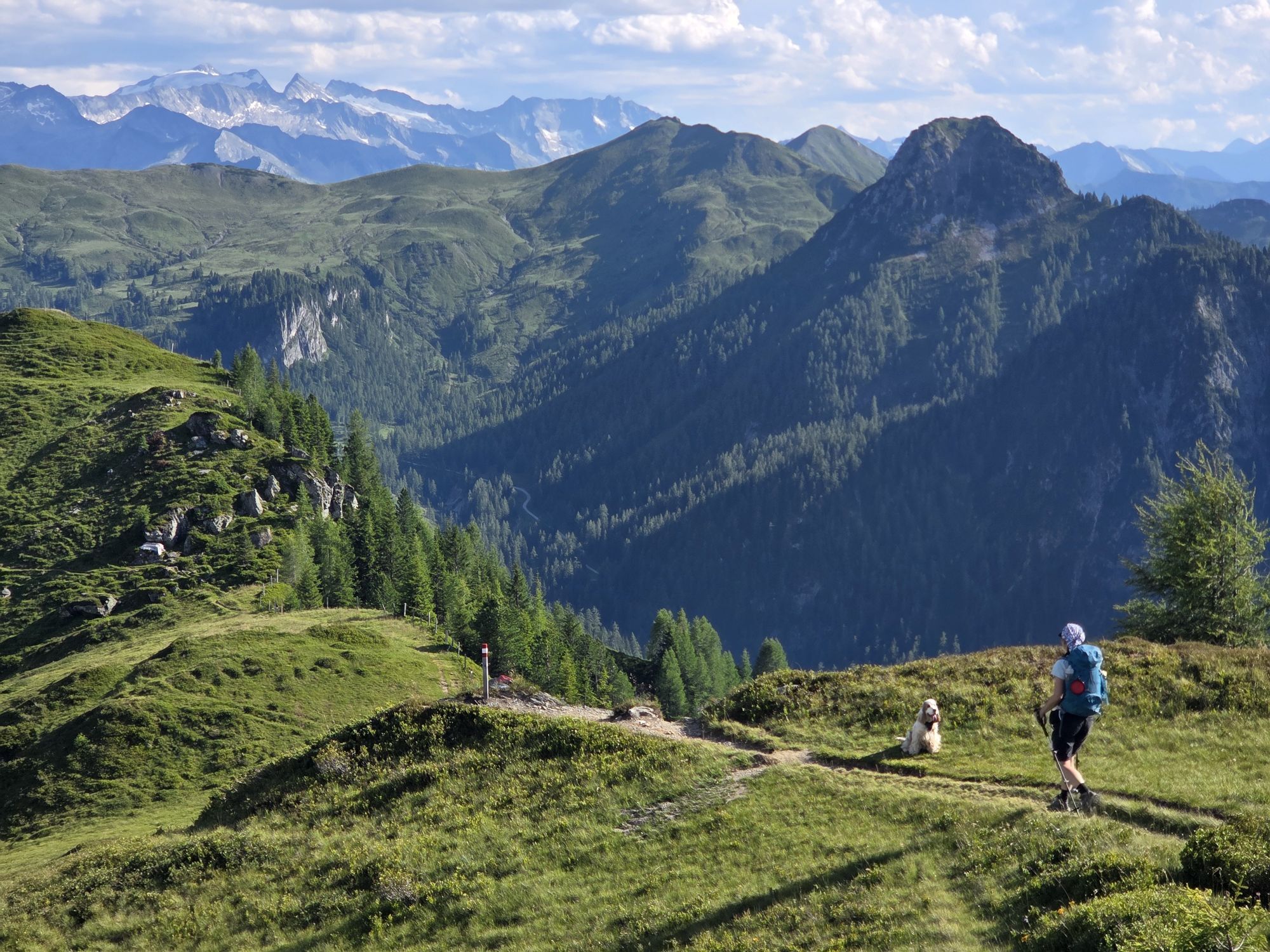
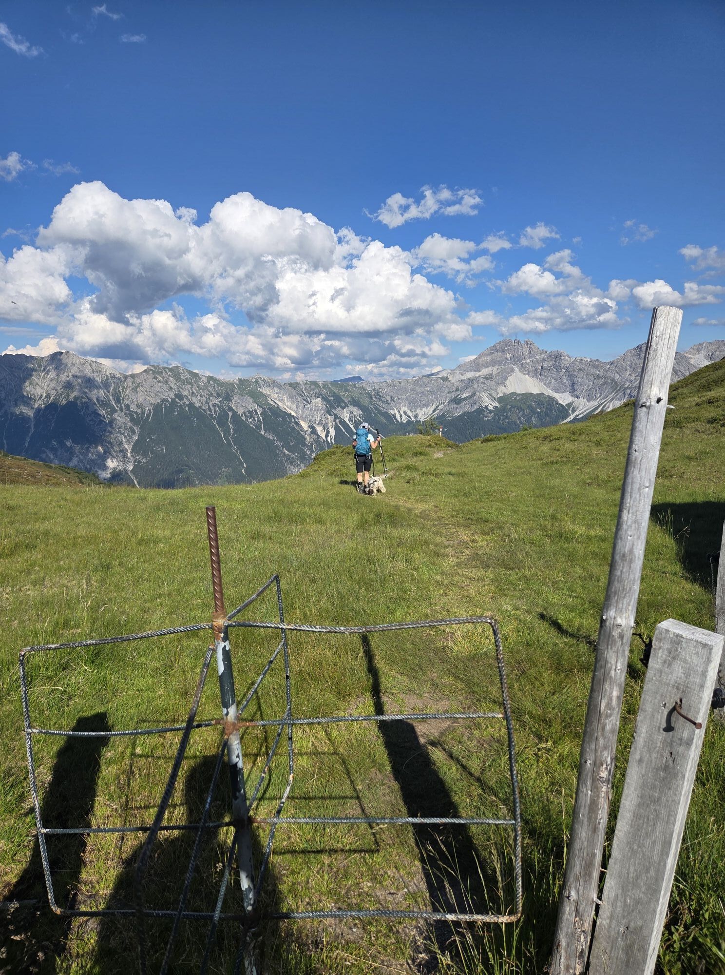
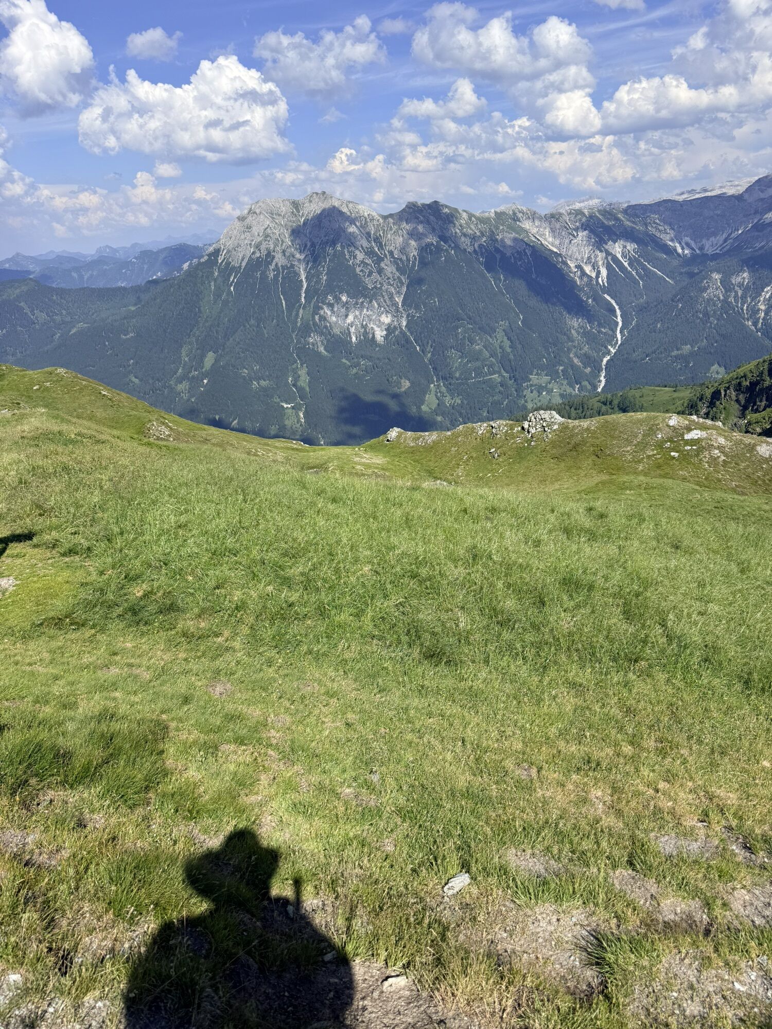
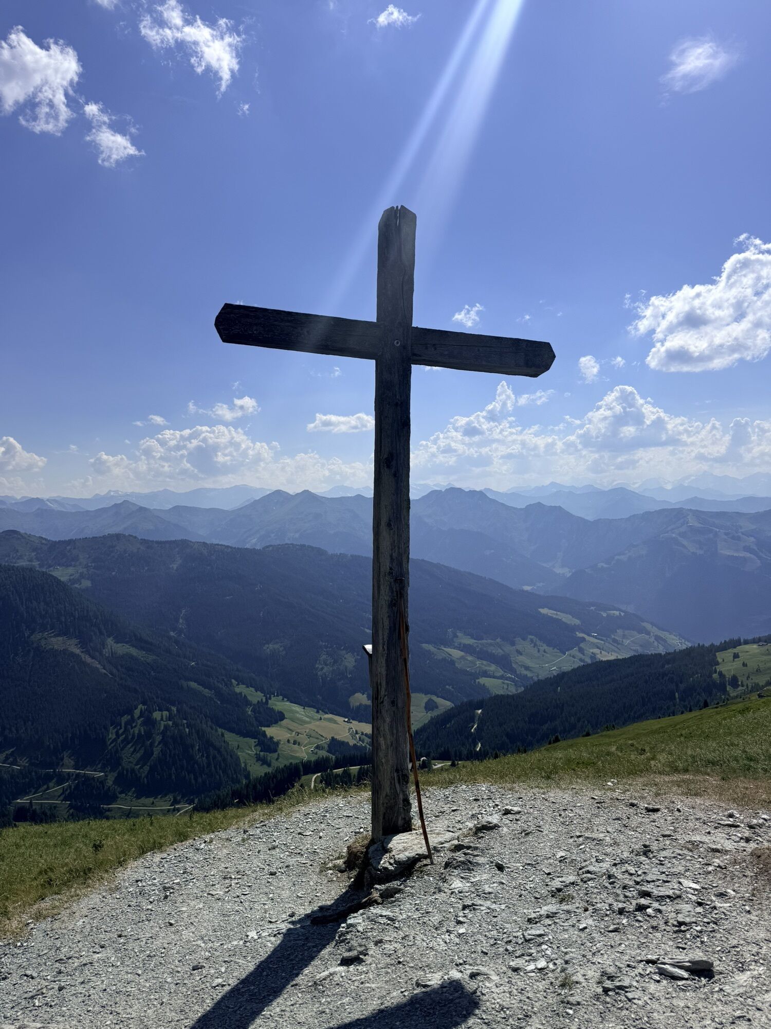
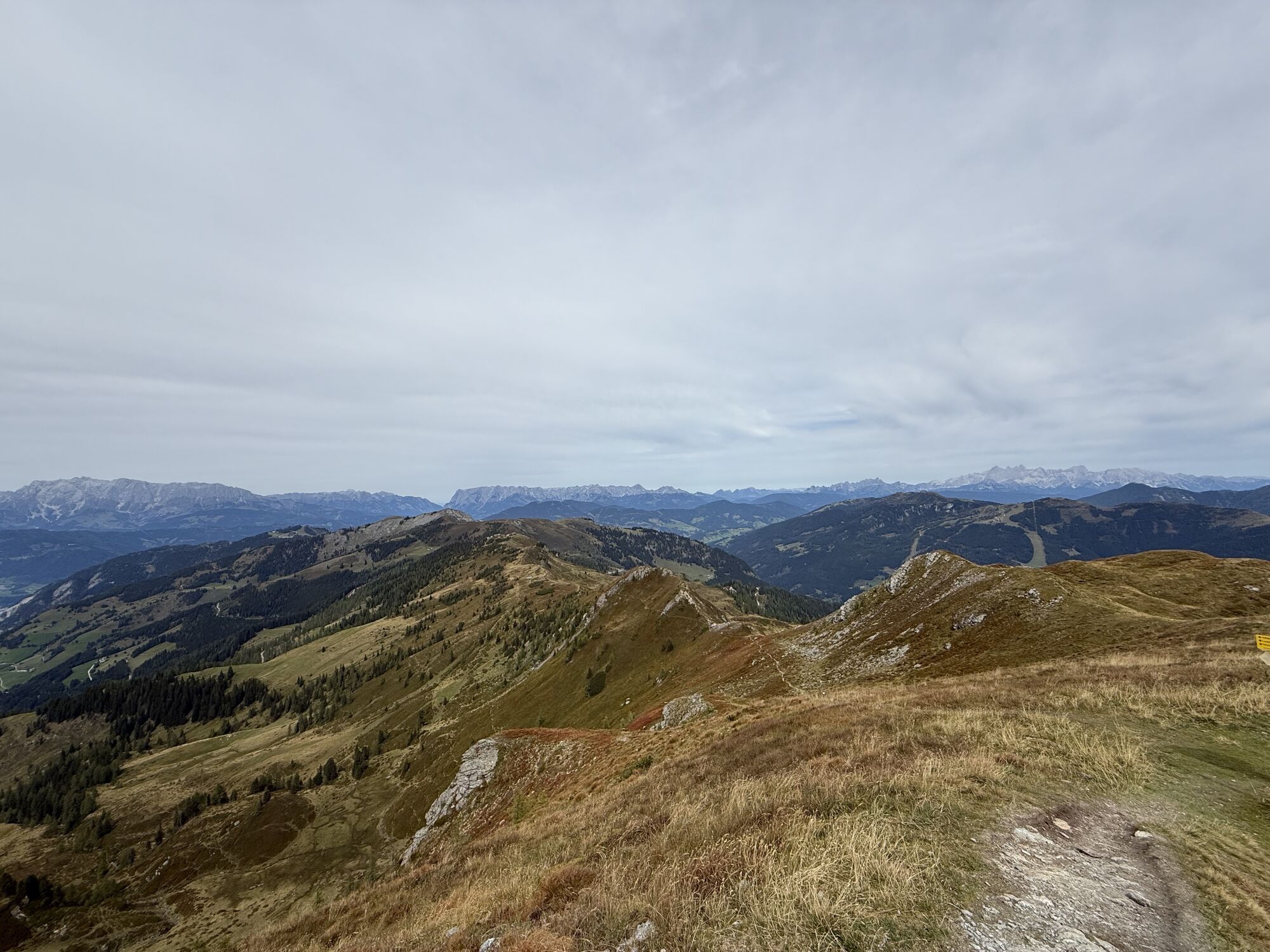
You ascend through magnificient alpine meadows to the mountain ridge. Then you hike along the ridge to the Gründegg. Up there, you have a great panorama view to the surrounding mountains.
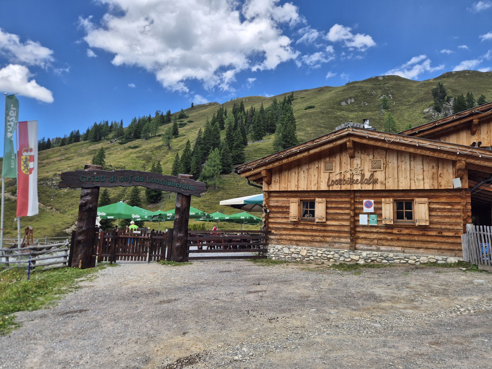
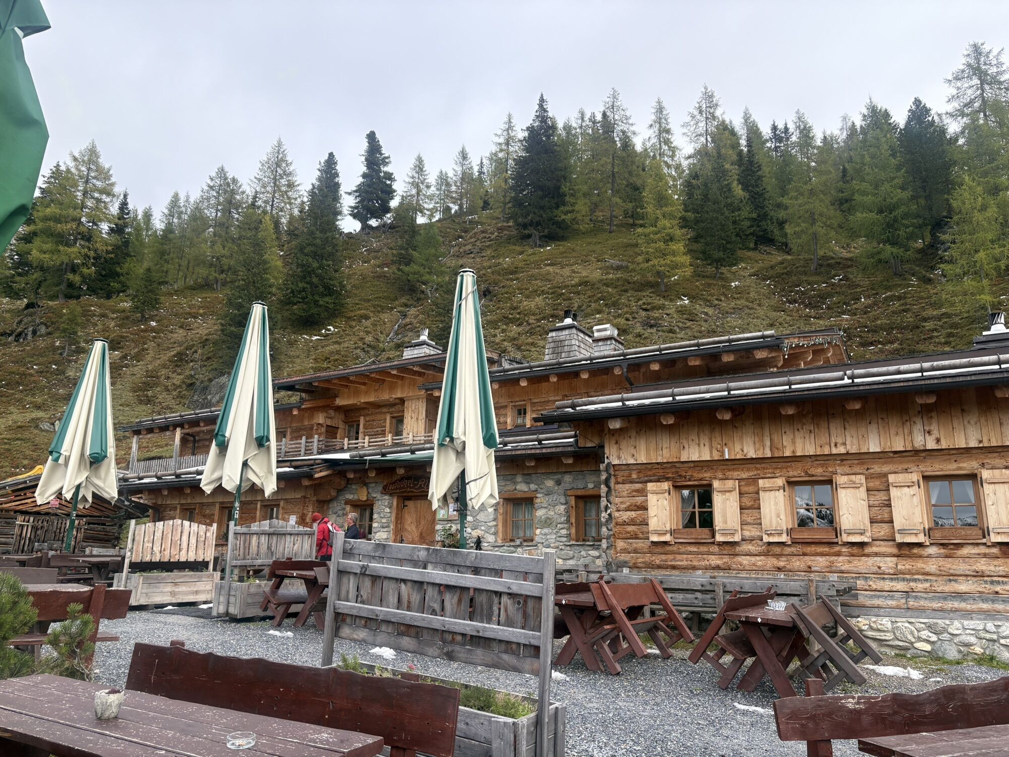
Further, you hike along the mountain ridge and descend to the Loosbühelalm. This mountain hut was rebuilt in 2010 after it burnt down. The Loosbühelalm ("Klausalm") is an insider tip for friends of goat's milk and goat's cheese. Here, besides the traditional snack with self-made delicacies (not only goat's milk, also products from cow's milk), there are also hot dishes. Children prefer the playground.
You descend either via the forestry road or on the shortcuts through the forest to Grundlehen, the starting point of the tour.
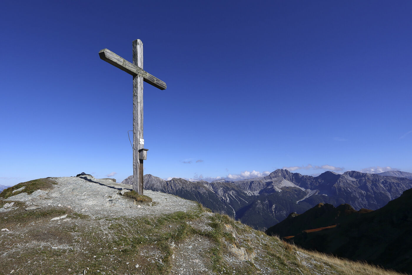
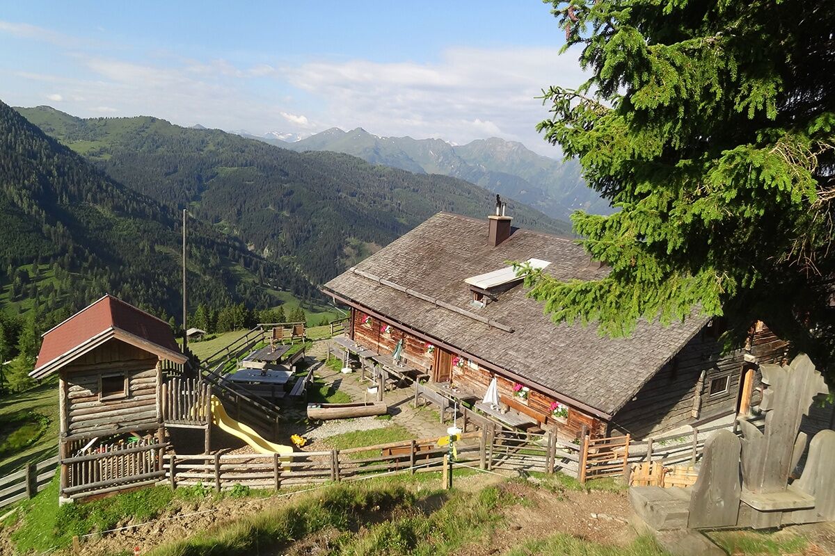
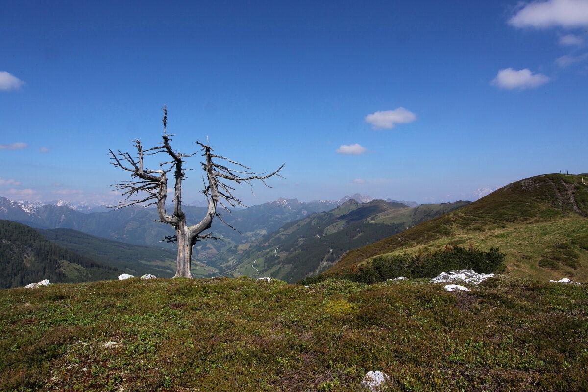
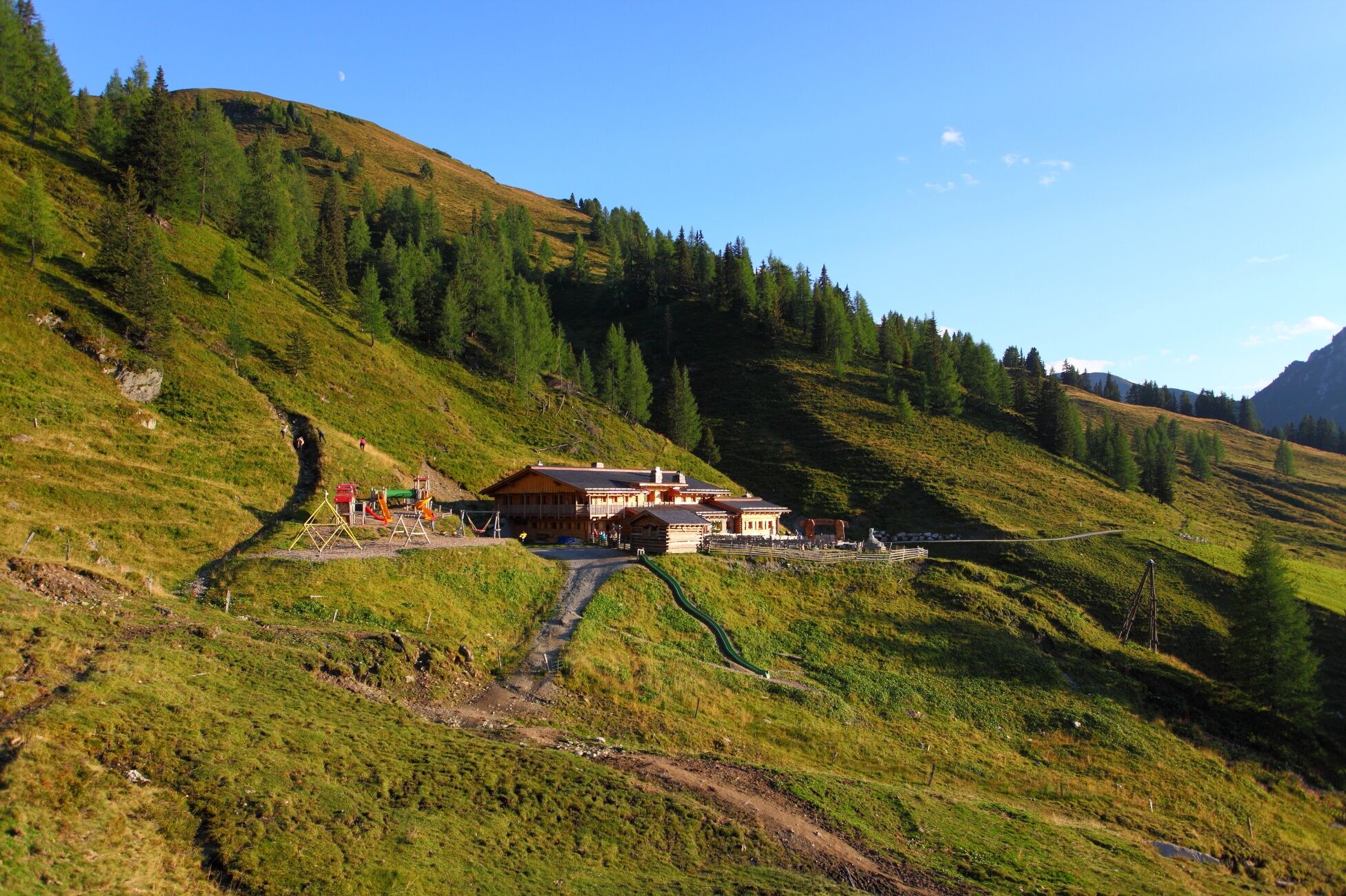

You go by car or hiking taxi to the Ellmautal to Grund - parking space. You hike up on the path no. 62 to the Grossellmau-Heimalm (closed) and on the same path to the Ellmaualm, 1,794 m (approx. 1 1/2 h). You ascend to the Gründegg, 2,168 m (approx. 1 1/2 h). You hike along the "Ellmautal-Höhenweg" (no. 64).
Then you descend on the path no. 60A, then 60 to the Loobühelalm, 1,769 m (approx. 1 1/2 h). Then you hike down either along the forestry road (no. 60) or on the shortcuts through the forest to Grund, the starting point of the tour (approx. 1 h).
You can also take the path no. 61 to the Weissalm, 1,723 m (approx. 1 h) and continue to Grund (about 1 h).
Ano
hiking boots with grip sole, hiking map
You go by car or public bus (no. 540) to Grossarl. You can park at the gas station. Further by public bus (no. 541) into the Ellmautal to Grundlehen.
parking space Grundlehen
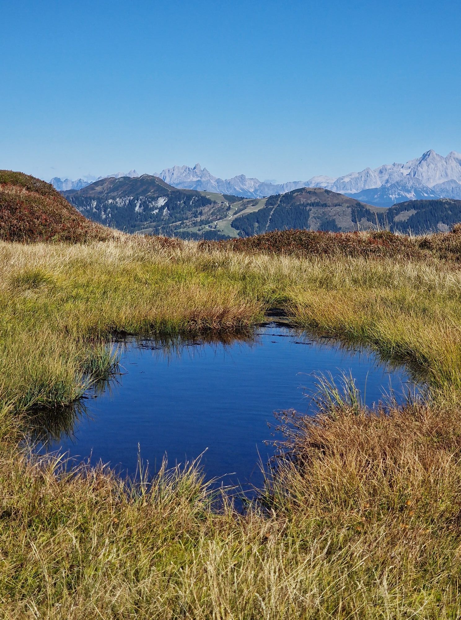
Just before the Gründegg, there are the Trögseen, which are particularly beautiful mountain lakes.

Webové kamery z prohlídky

Aktivity na trase

Großarl, Salzburg/Österreich
16.09.2026 – TuristikaGroßarl, Salzburg/Österreich
15.08.2026 – TuristikaGroßarl, Salzburg/Österreich
12.07.2026 – Jízda na koleGroßarl, Salzburg/Österreich
28.06.2026 – TuristikaGroßarl, Salzburg/Österreich
23.06.2026 – TuristikaGroßarl, Salzburg/Österreich
19.06.2026 – Turistika
Großarl, Salzburg/Austria
04.06.2026 – TuristikaGroßarl, Salzburg/Österreich
04.06.2026 – Turistika
Oblíbené prohlídky v okolí
- 4.9
4-Gipfel-Tour
středníHorská turistika 6.40 km - 5.0
Großarl: Aualm - Liechtensteinkopf - Aukopf - Schuhflicker - Schuhflickersee
středníTuristika 5.84 km - 4.9
Großarl: Heukareck
středníTuristika 12.5 km - 4.2
Tappenkarsee Kleinarl
středníTuristika 9.11 km - 4.8
Großarl: Himmelsroute
středníTuristika 5.41 km - 4.6
Großarl: Mooslehenalm – Niggeltalalm – Viehhausalm
středníTuristika 5.44 km - 4.6
Ski route Lackenkogel
středníLyžařská trasa 7.82 km - 4.7
Großarl: Saukaralm - Saukarkopf - Gerstreitalm
středníTuristika 9.39 km - 4.6
Grießenkareck
středníTuristika 4.89 km - 4.8
Großarl: Bichlalm
středníMountainbike 18.9 km
Pěší turistika a stopování


Nenechte si ujít nabídky a inspiraci pro vaši příští dovolenou
Vaše e-mailová adresa byl přidán do poštovního seznamu.





