






High-altitude hike: Grießenkareck - Weissenhofalm - Steinkaralm - Kleinarl
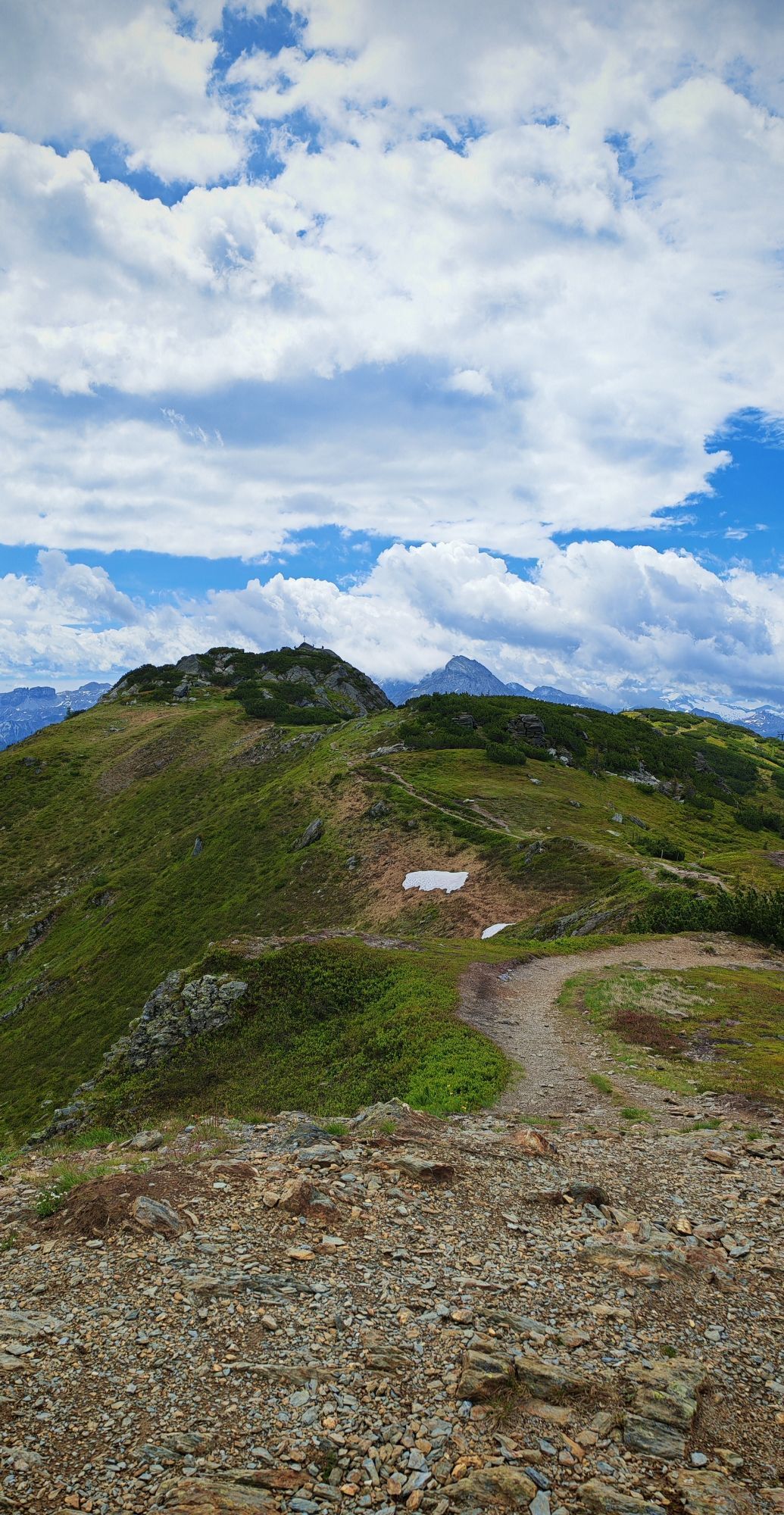
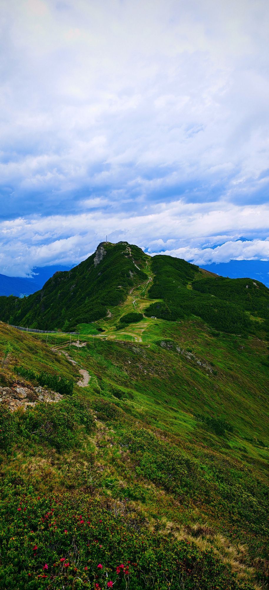
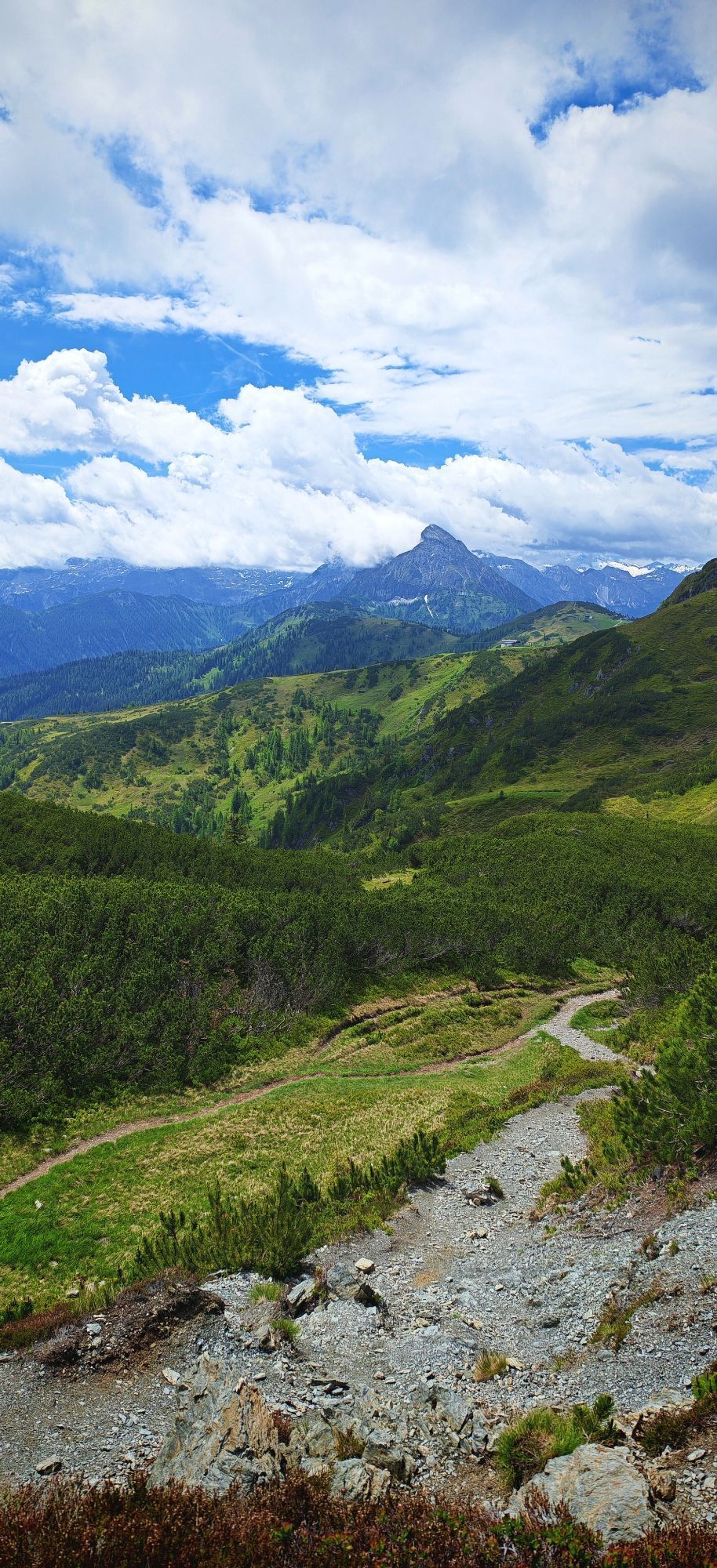
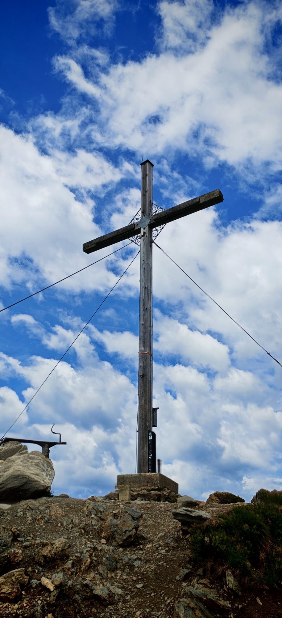
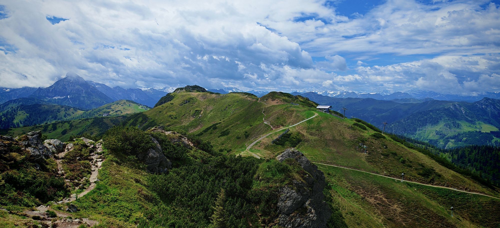
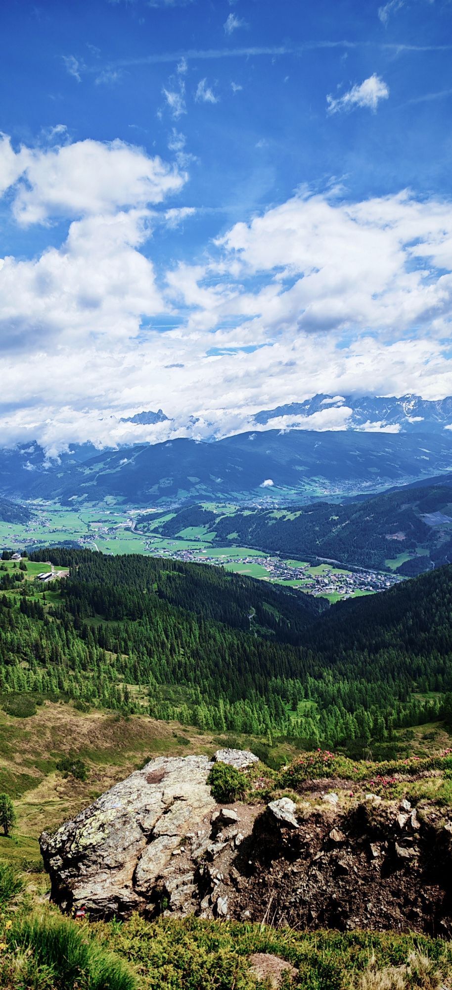
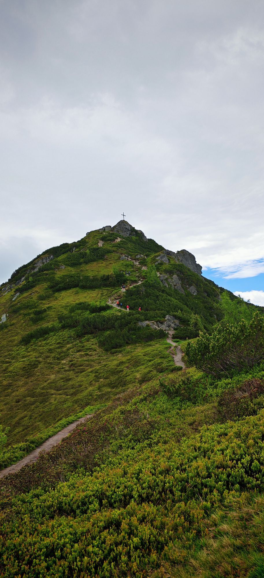
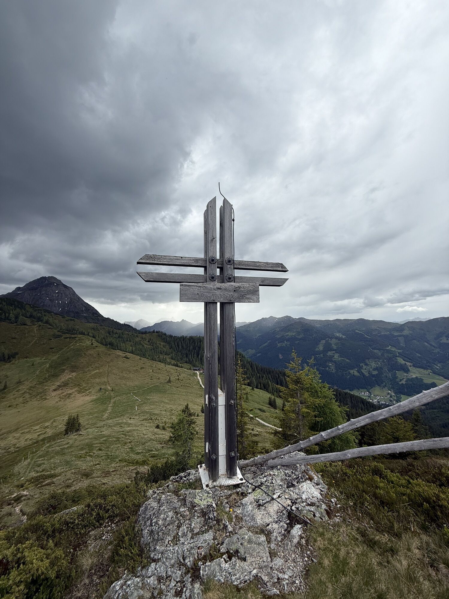
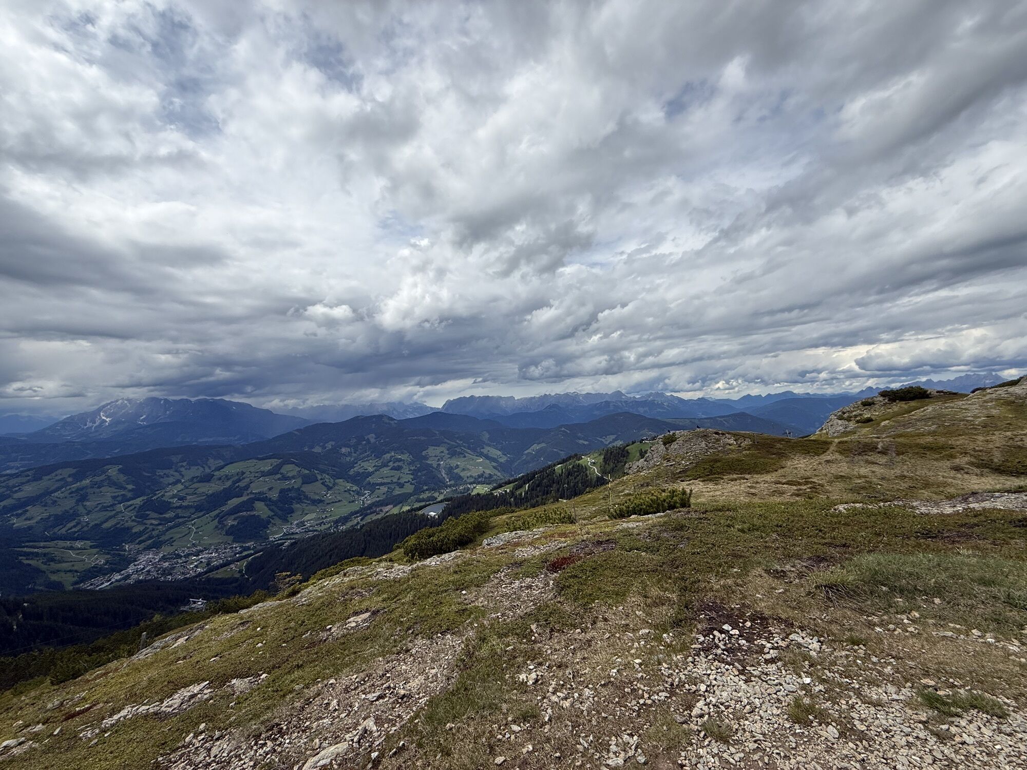
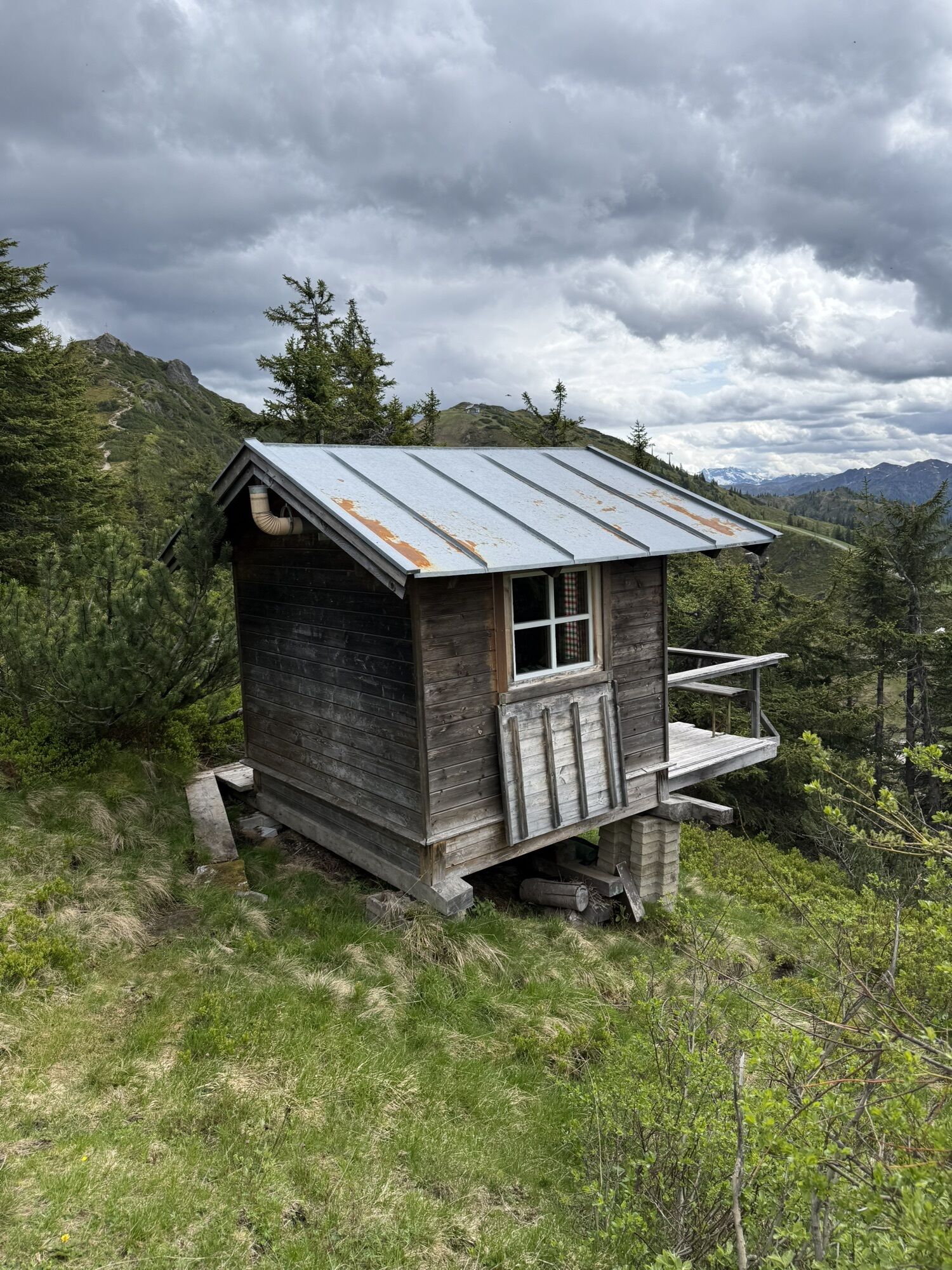
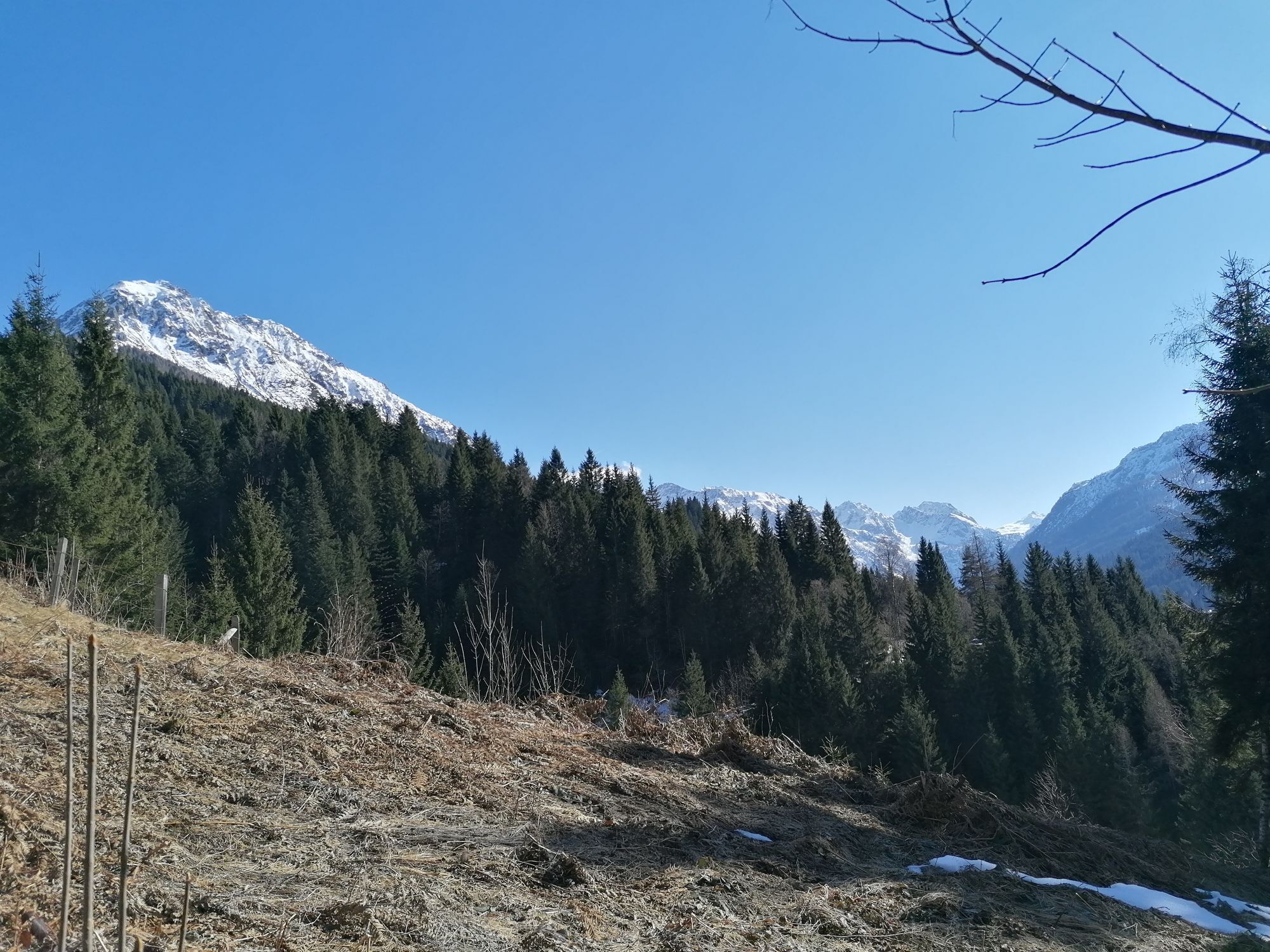
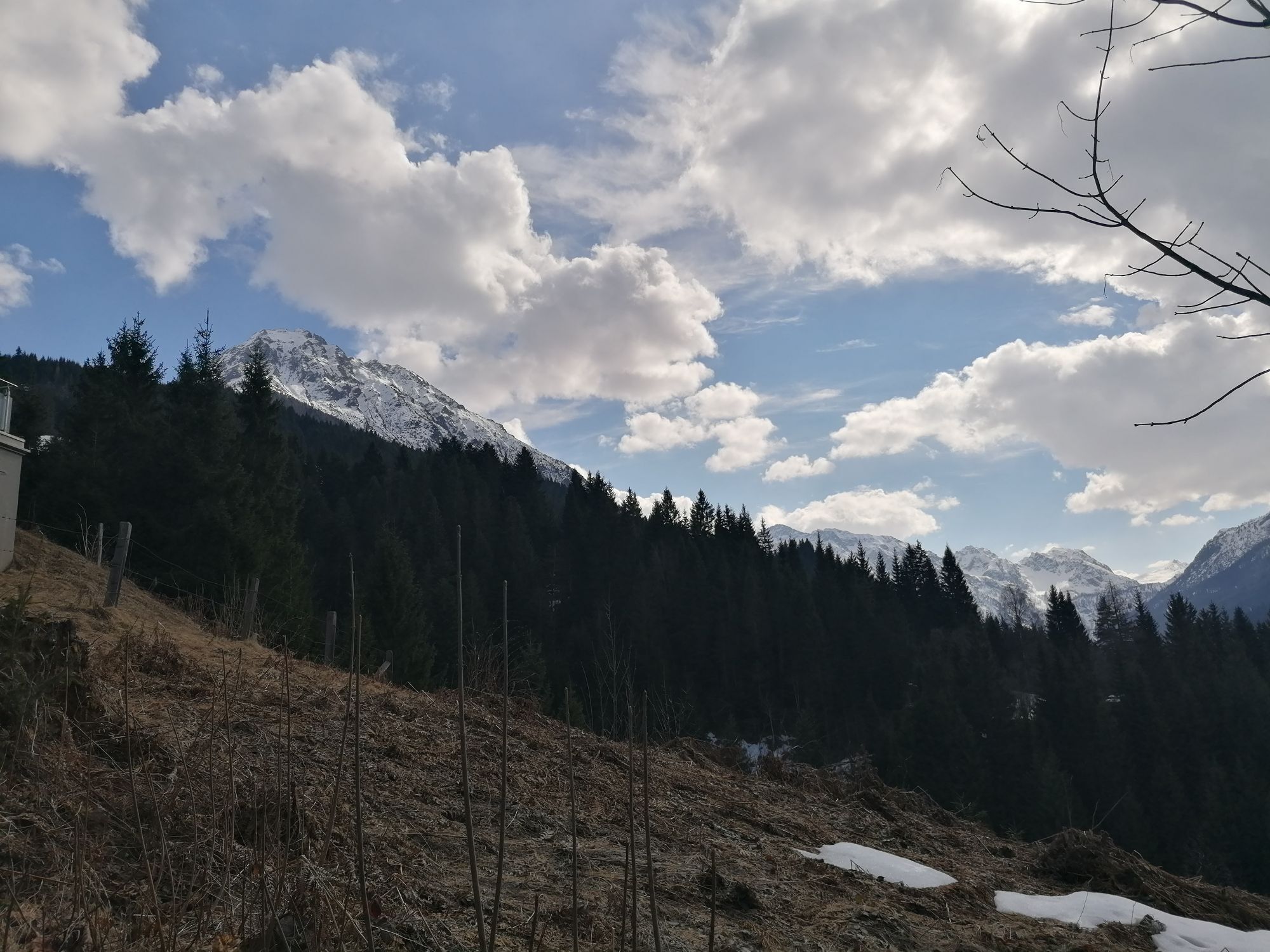
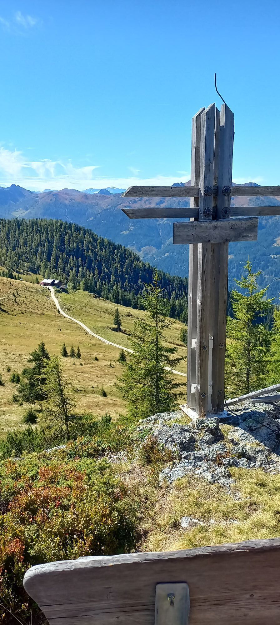
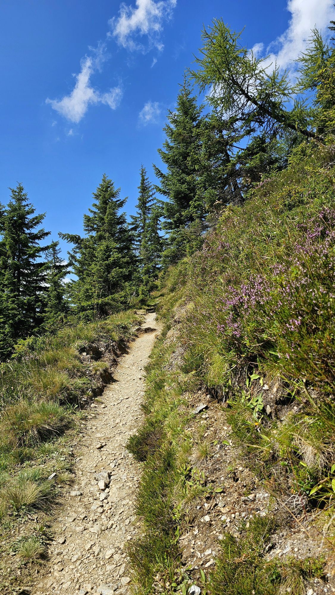
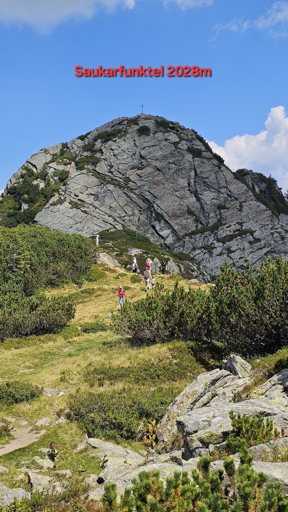

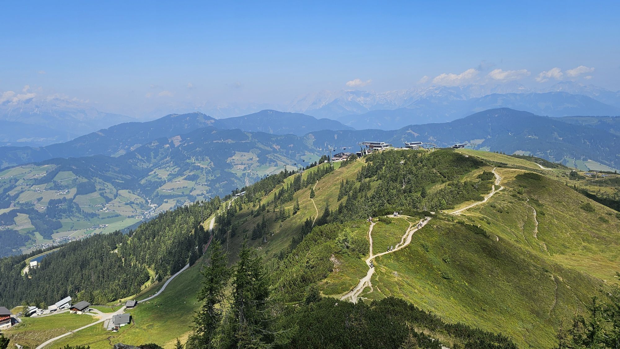
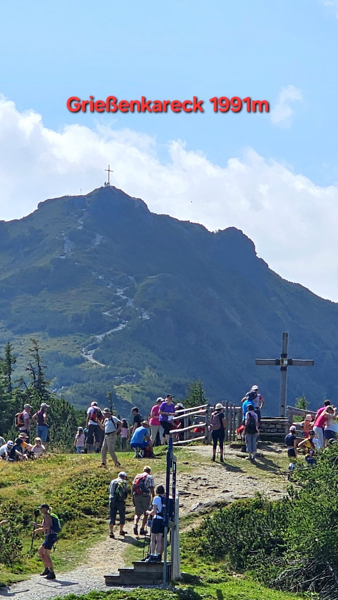
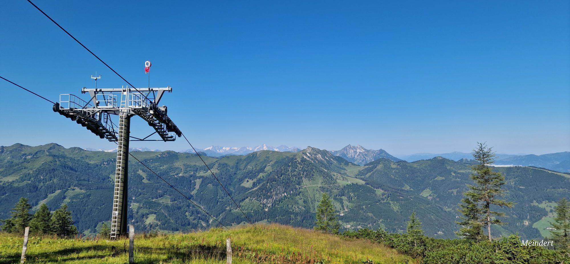
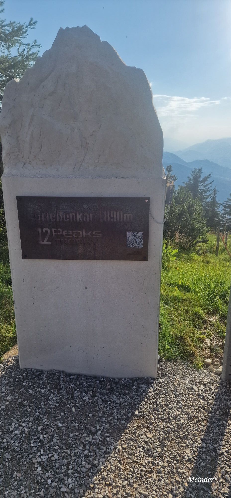
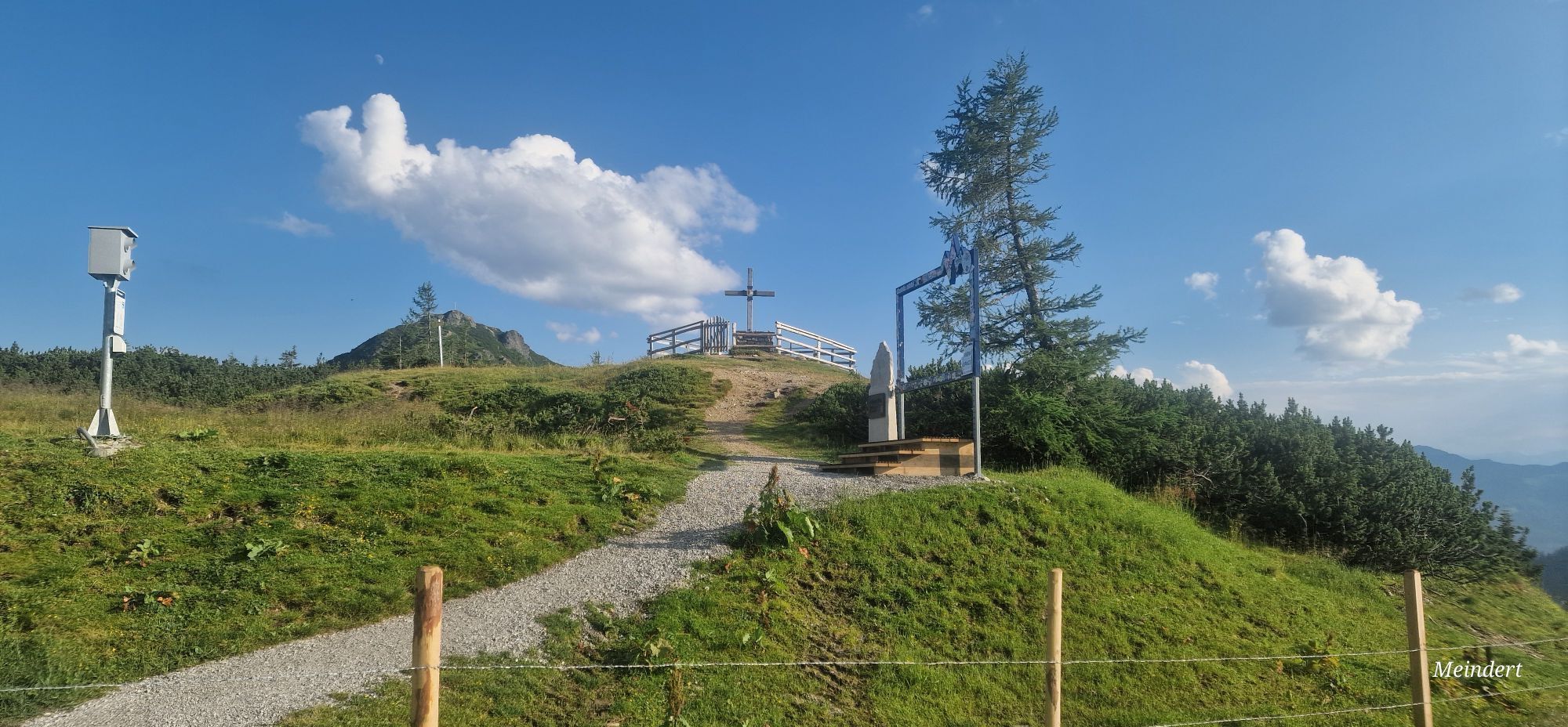
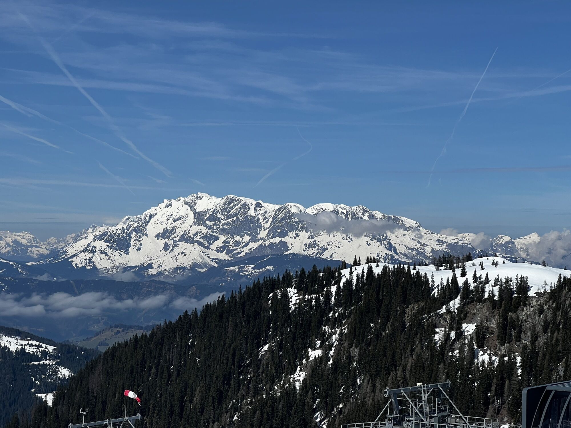
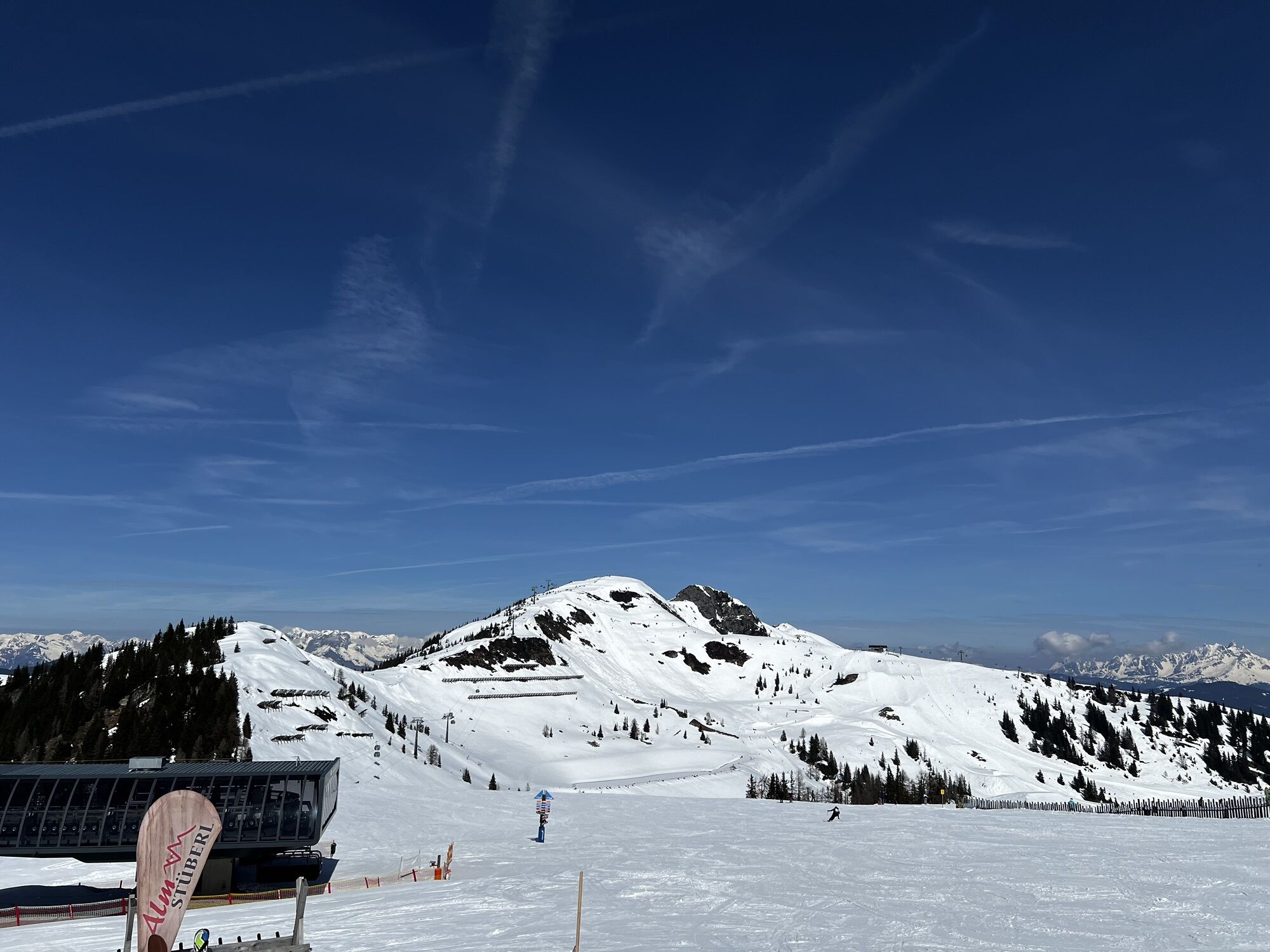
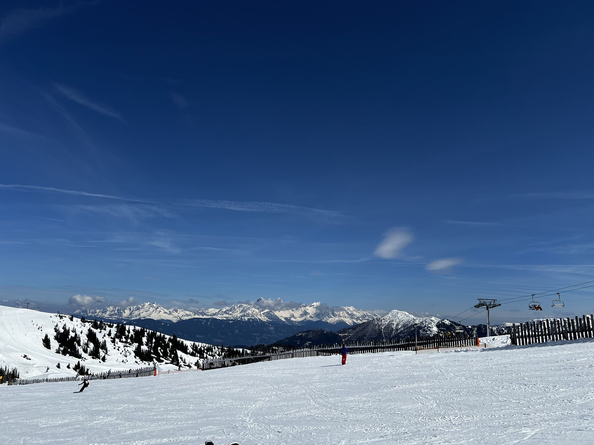
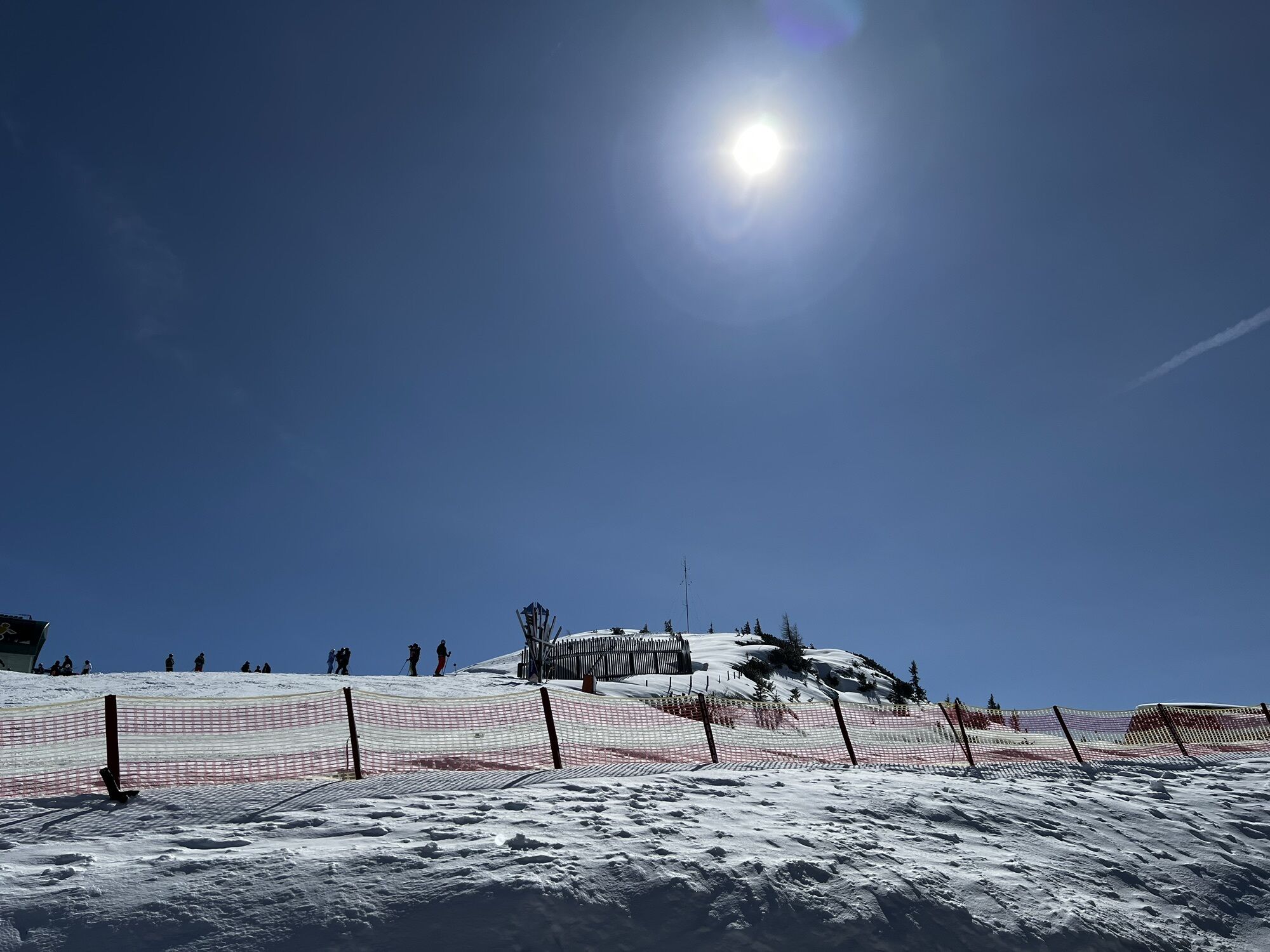
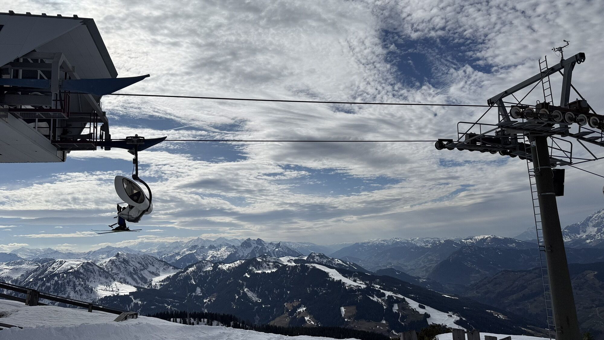
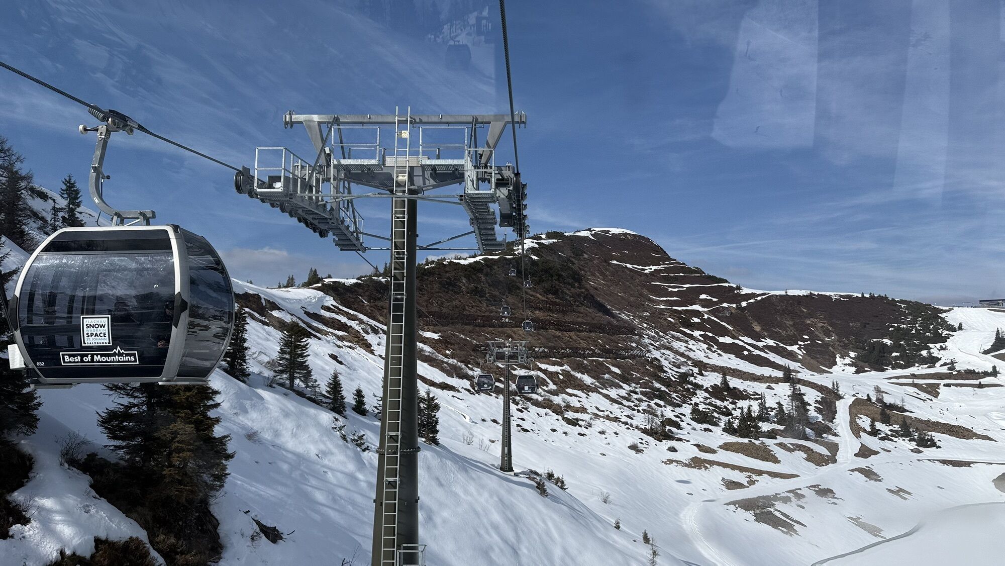
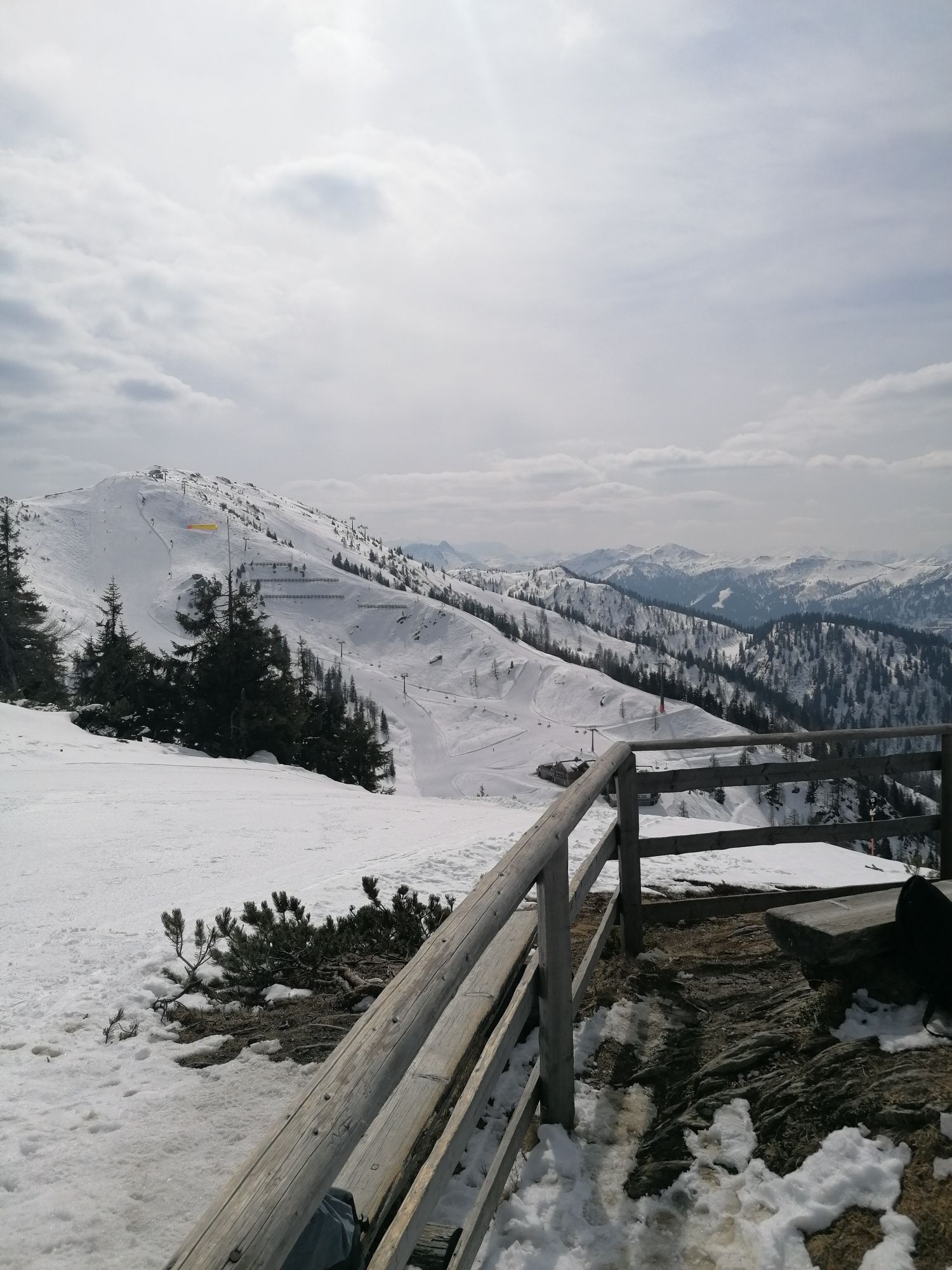
You take the "Flying Mozart" gondola to the mountain station where your hike starts today. The high-altitude trail first leads you to the nearby Grießenkareck and then to the viewpoint Saukarfunktel. Enjoy...
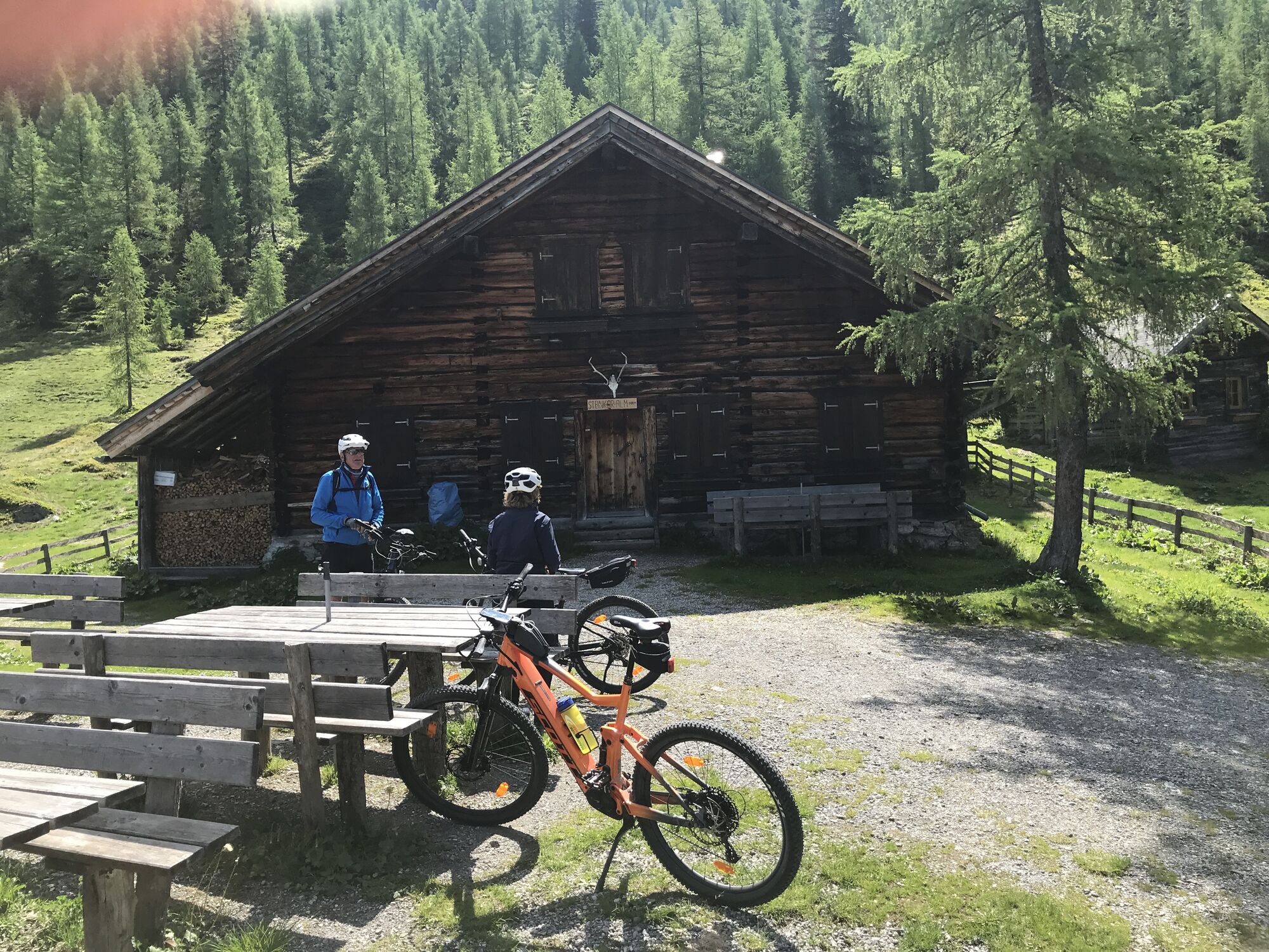
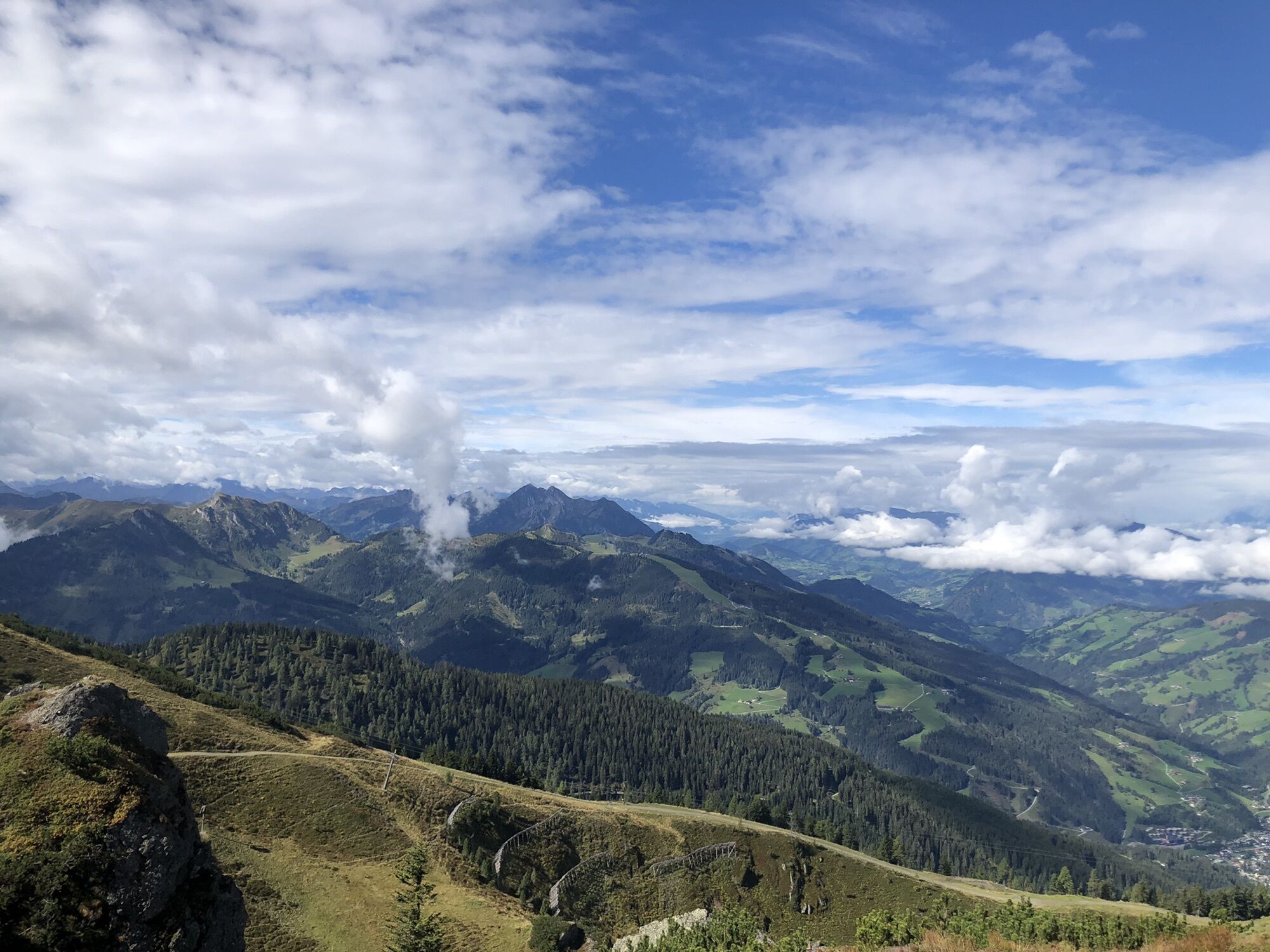
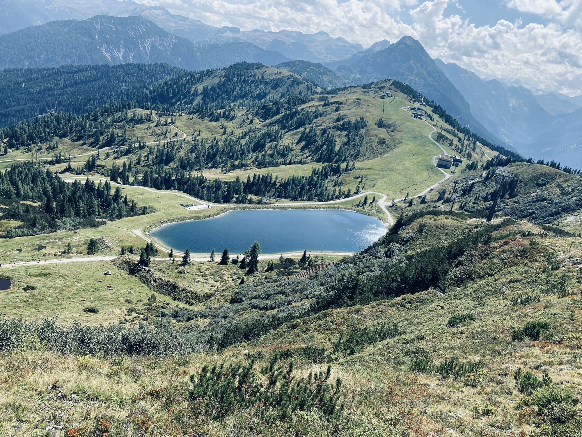
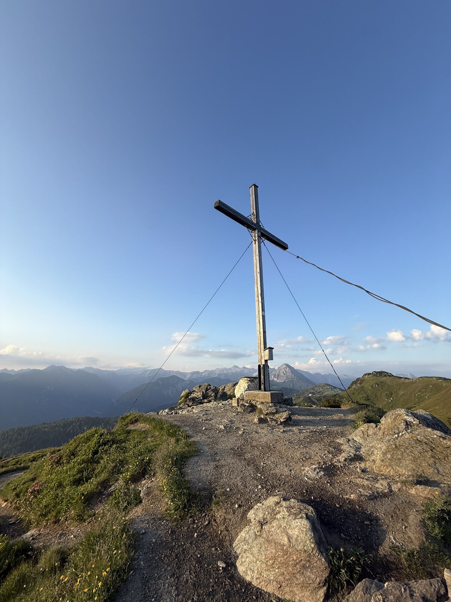
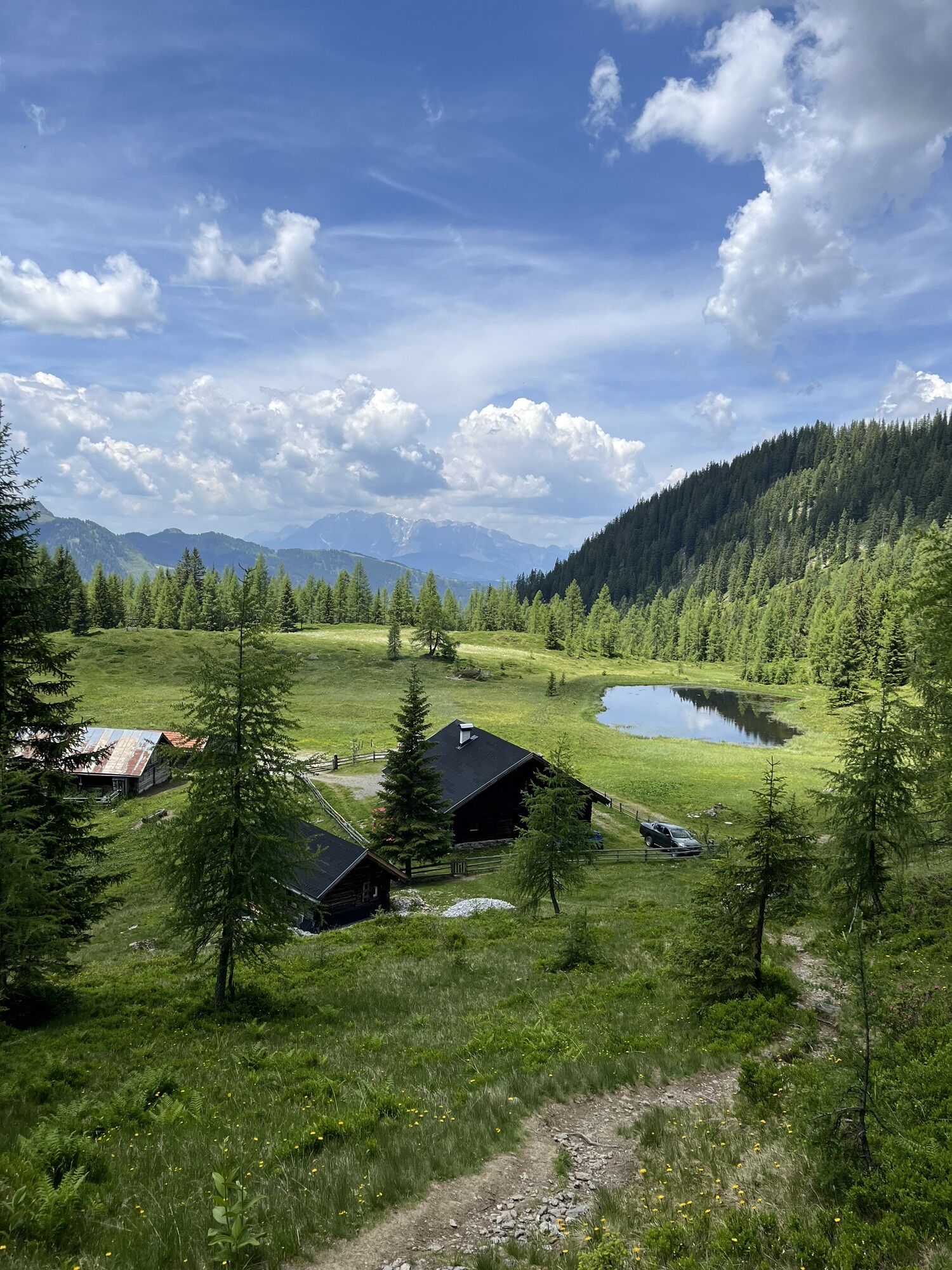
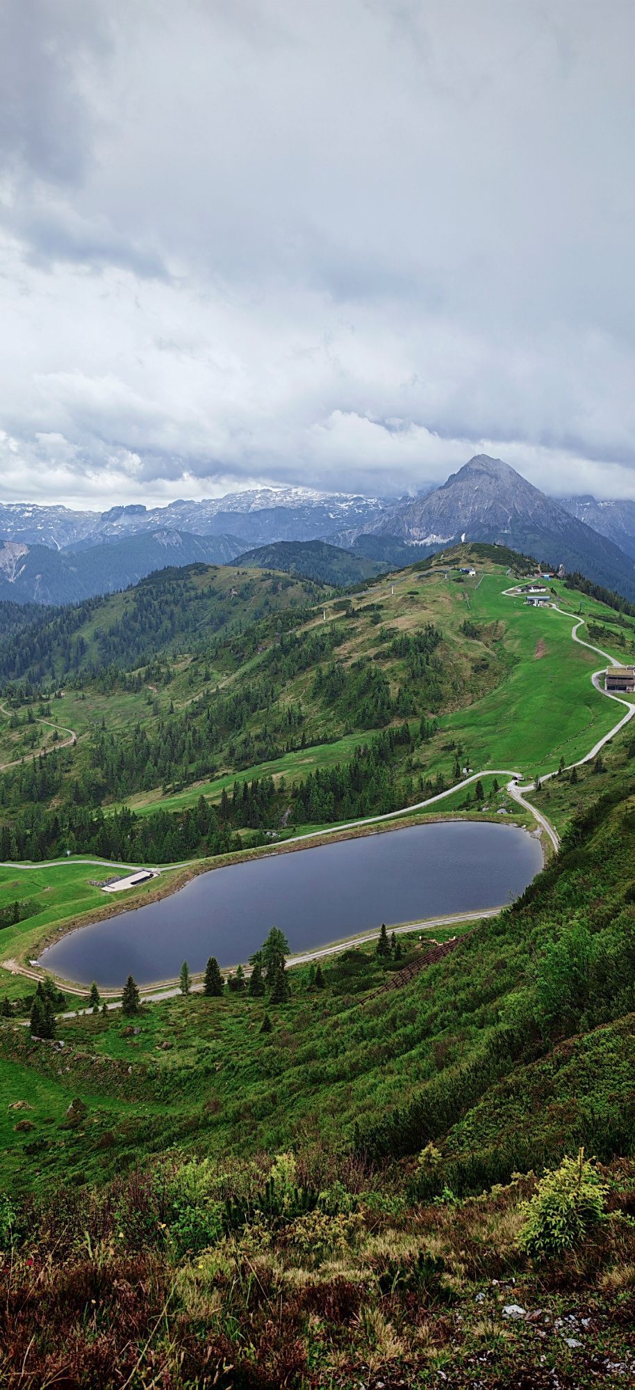
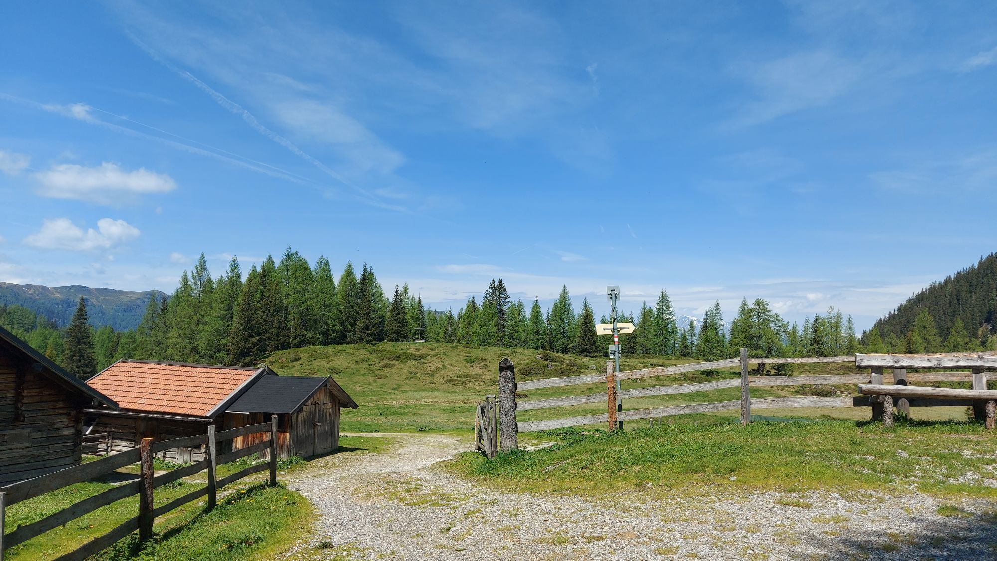
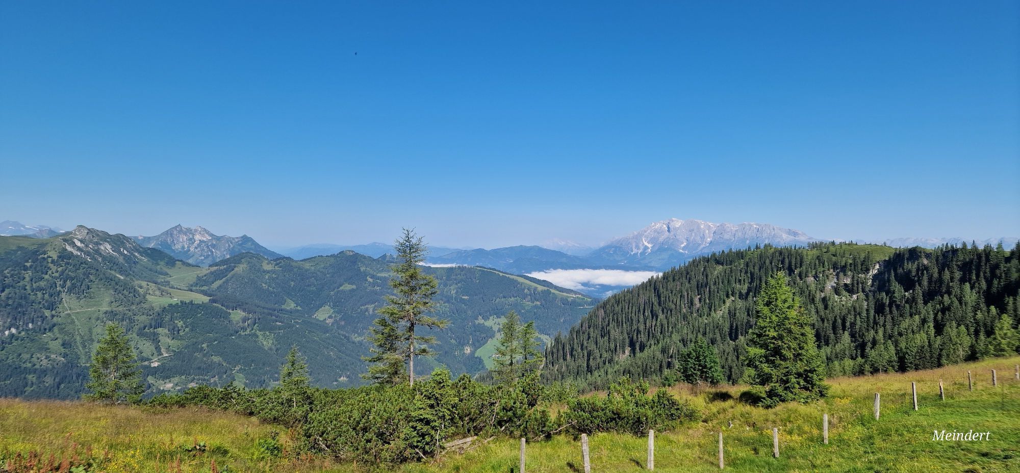
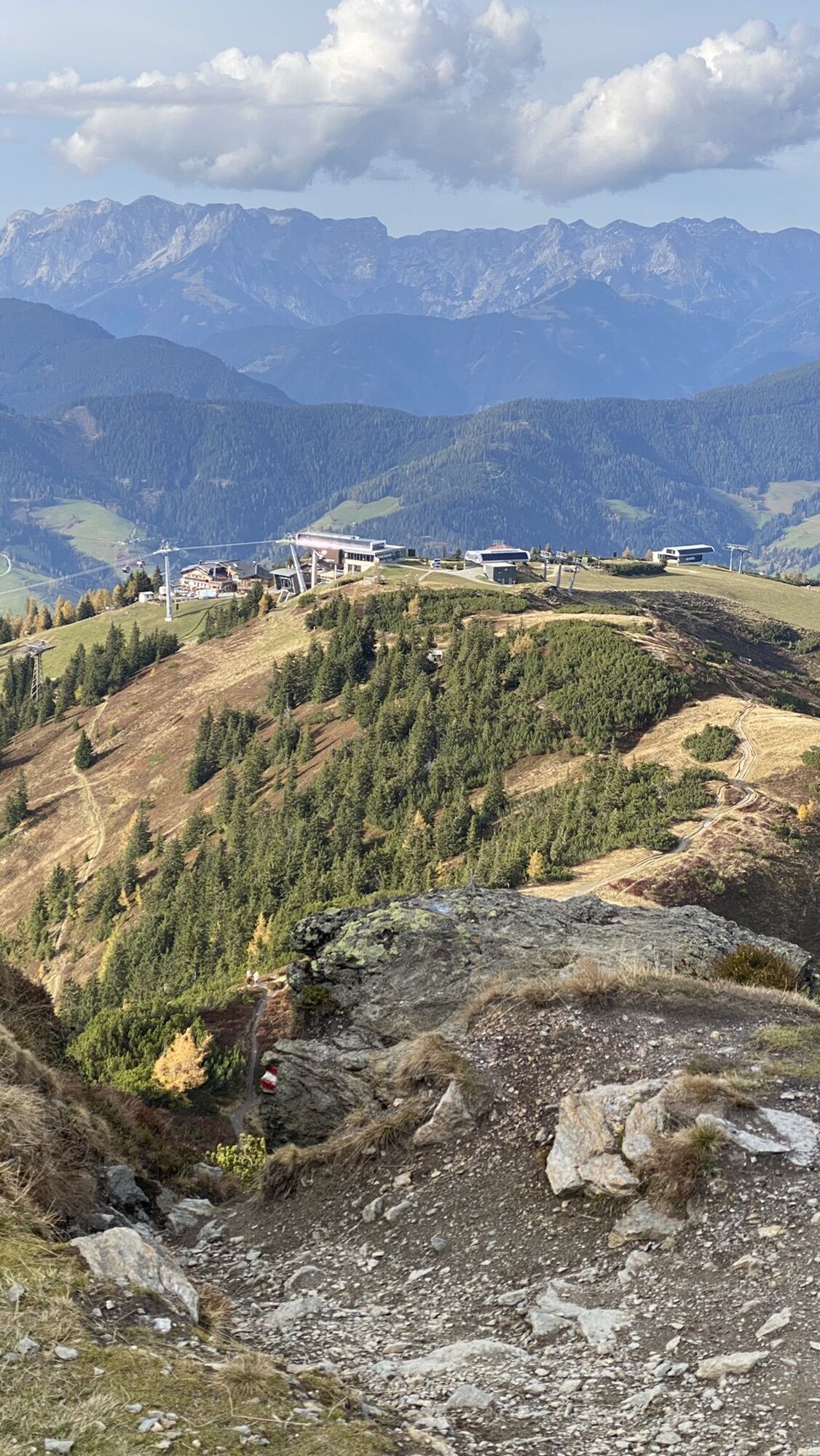
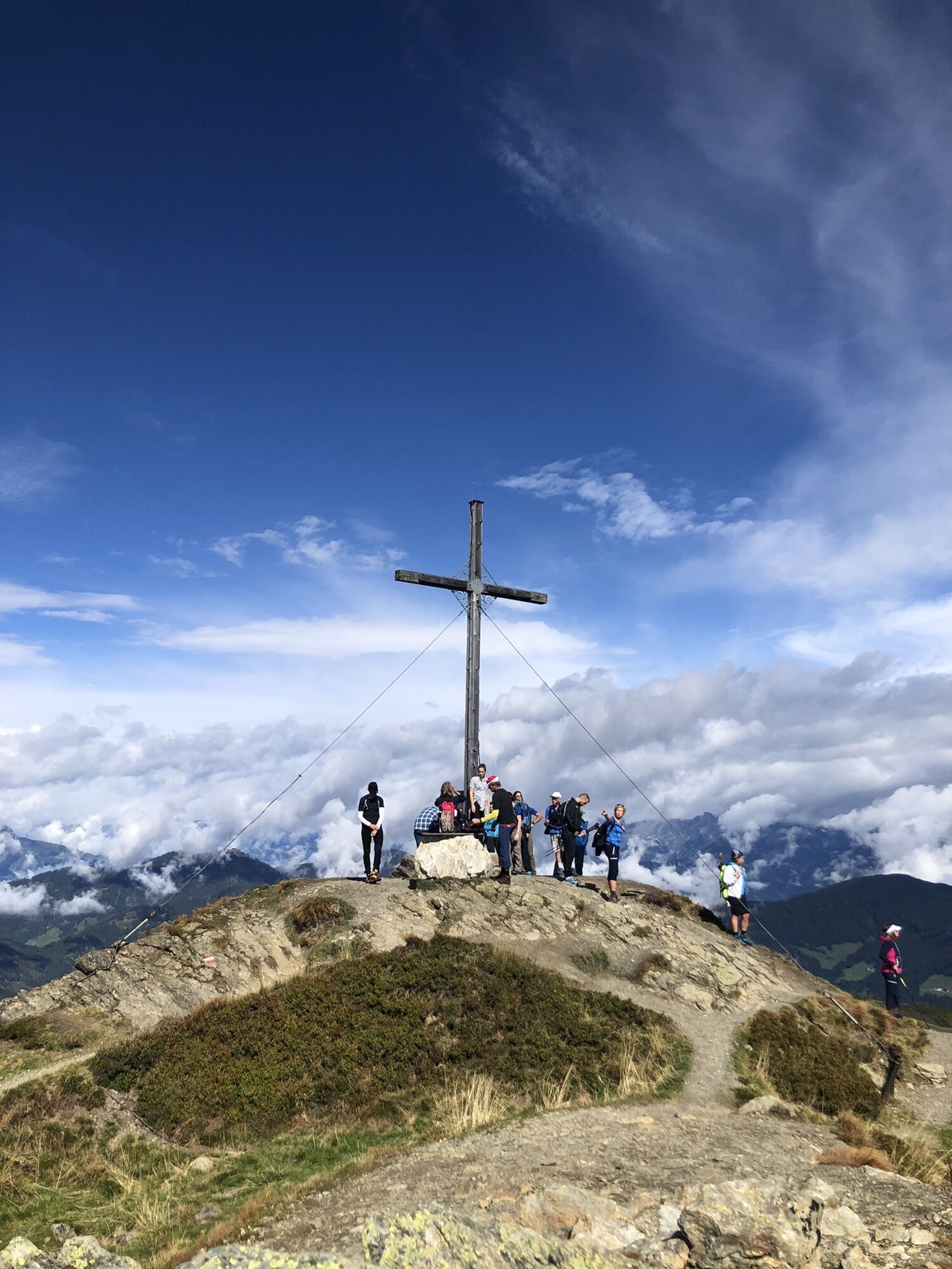
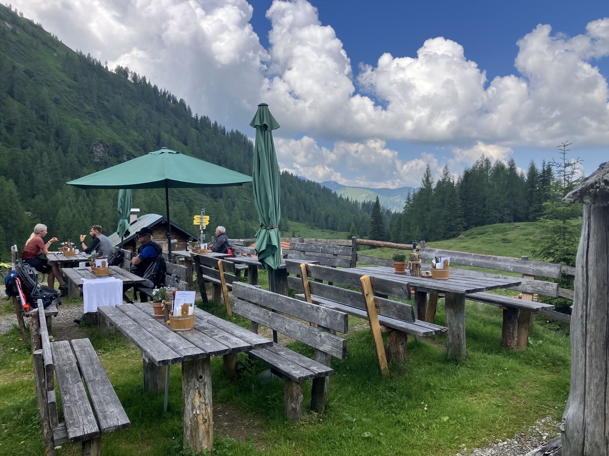
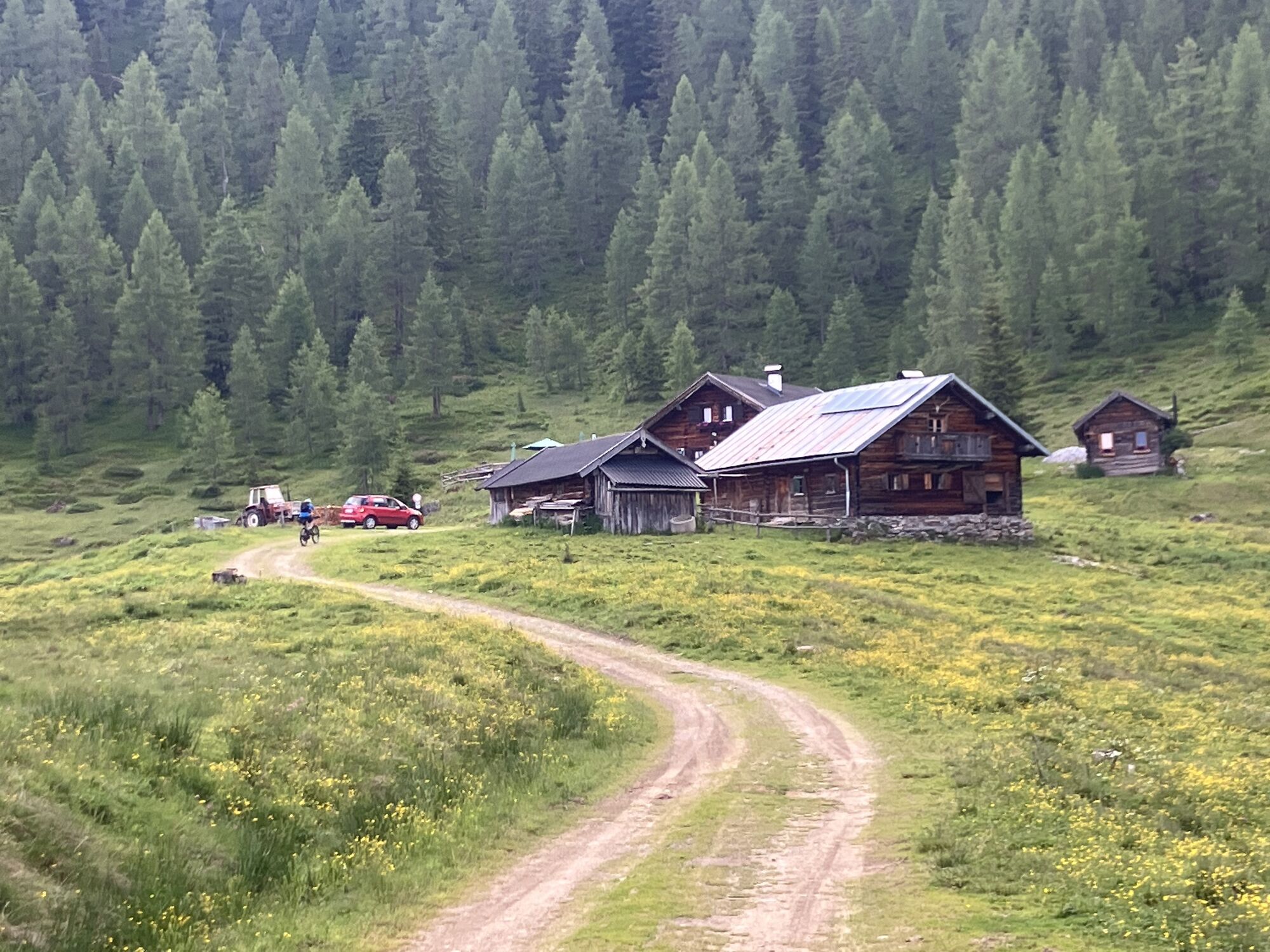
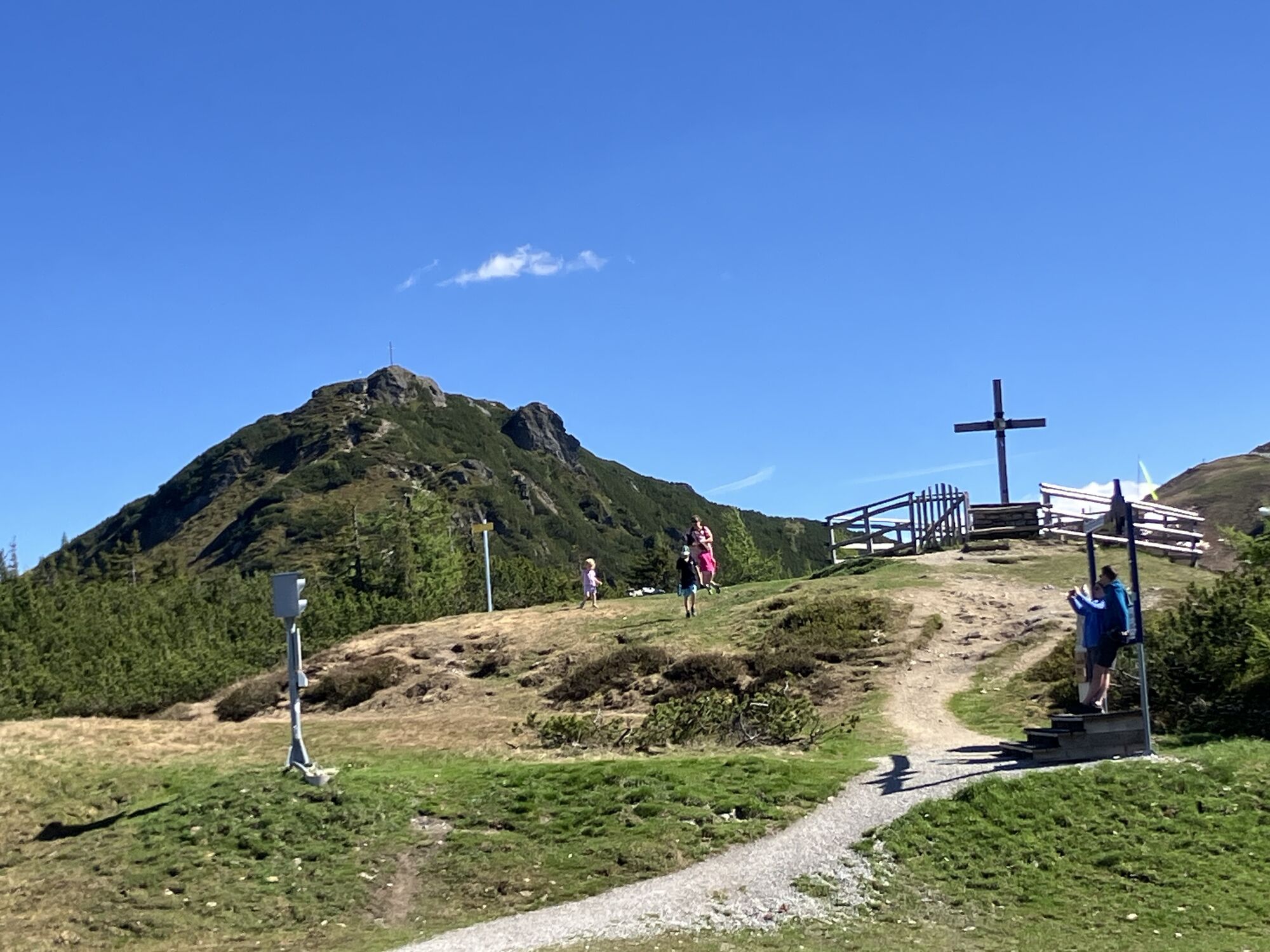
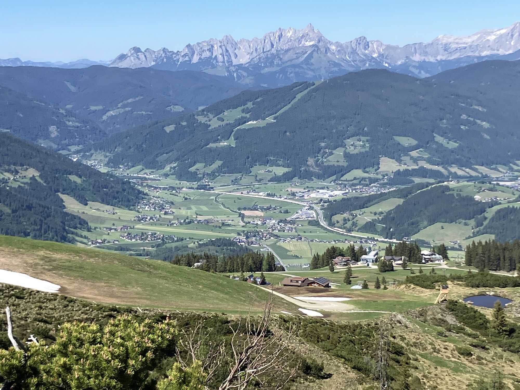
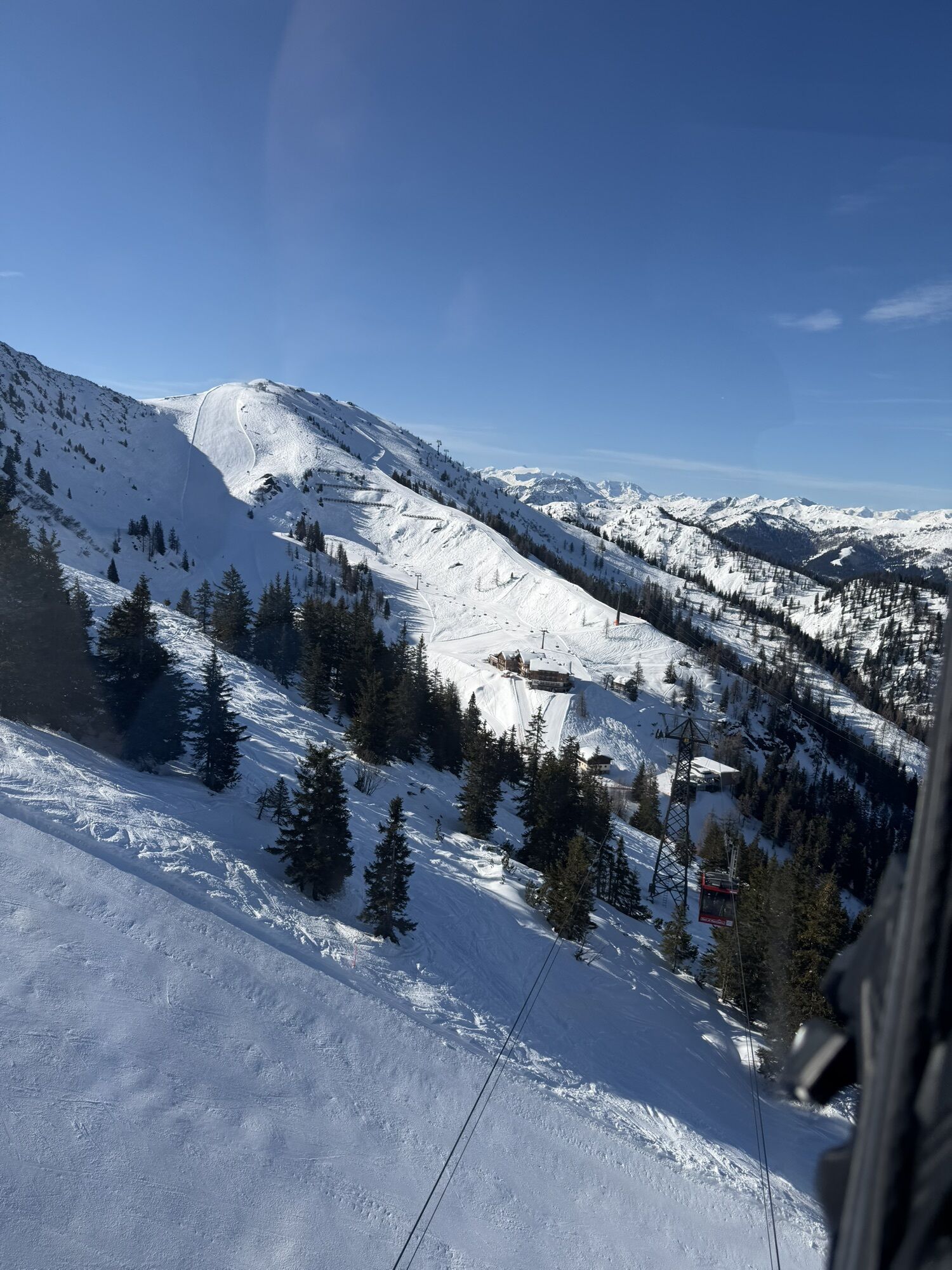
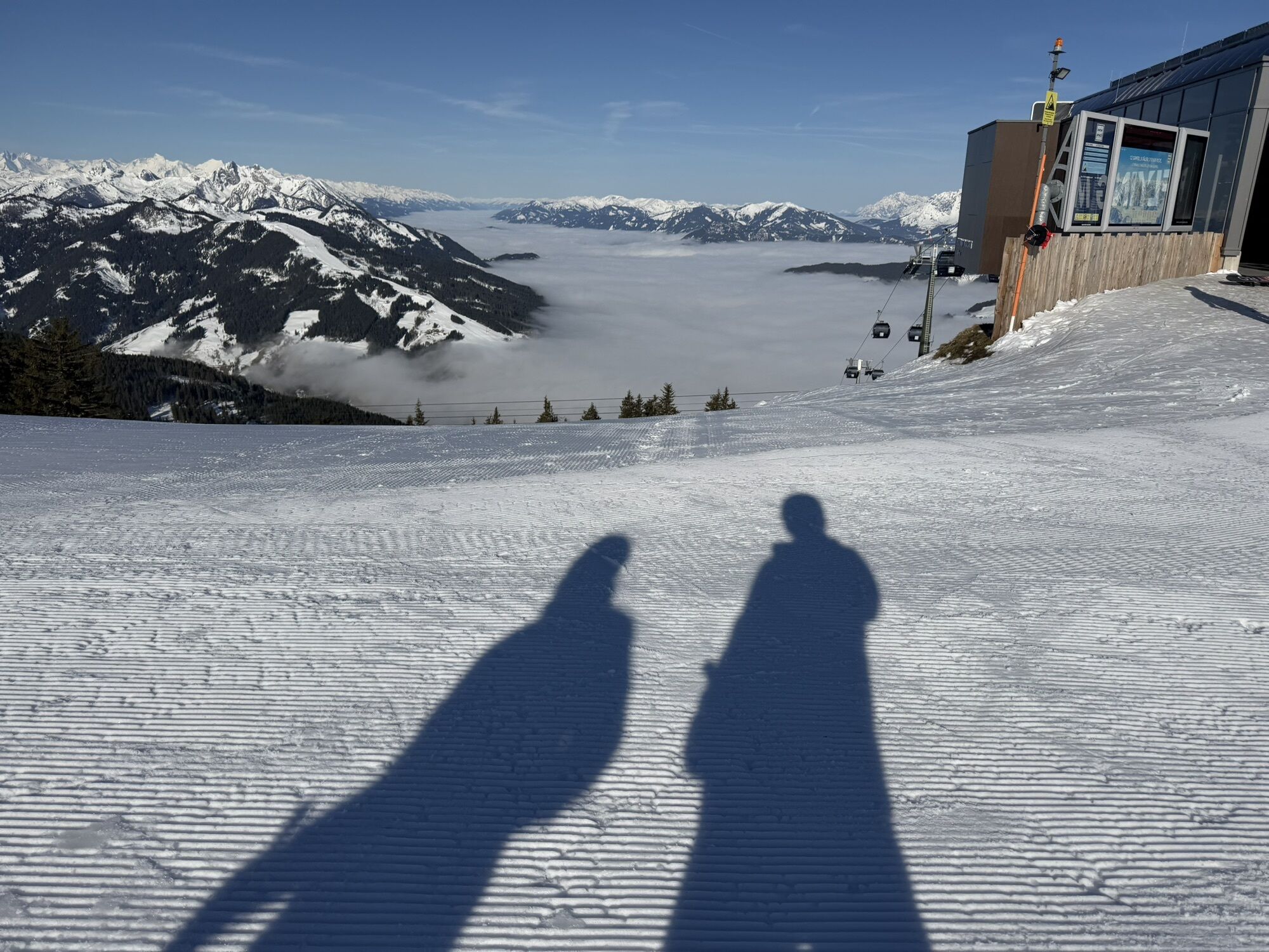
You take the "Flying Mozart" gondola to the mountain station where your hike starts today. The high-altitude trail first leads you to the nearby Grießenkareck and then to the viewpoint Saukarfunktel. Enjoy the unique panorama! Passing the Saukarkopf (2,014 m) and the Himmelleitbodenteich, you now arrive on the Kleinarl side and subsequently pass the Almstüberl. You then leave the Mooskopf and the Wildbühel behind and reach your first "destination" - the Weissenhofalm. A short stop here is definitely worthwhile. Well strengthened, you then hike to the Steinkaralm (cash only) and continue towards Kleinarl center. Meanwhile, you cross Täublwaldstraße and reach the Jausenstation Ennskraxn via Steineggweg. The last few meters back to the valley you cover via Stuhlweg and arrive directly in the center of Kleinarl. With the hiking bus you return from Kleinarl to Flying Mozart, where your car is parked.

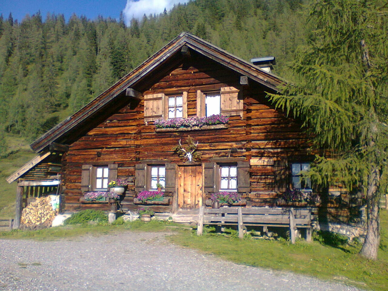

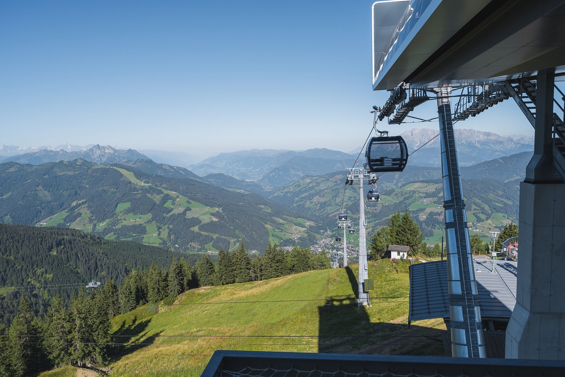

From the mountain station ascent to Grießenkareck (1,991 m), on the ridge (No. 714) or via the Bettlersteig (No. 714a) to Ahornkarkopf, Frauenalmsattel and over the Wildbühel to Weissenhofalm (operated) and to Steinkaralm (operated). Descent to Kleinarl. Return by hiking bus to the Flying Mozart valley station.
Ano
Ano
good footwear (hiking boots preferred), snack, drinking bottle
Car arrival from the Tauern motorway A10 / exit Flachau / continue towards Wagrain-Kleinarl / drive about 8 km along the main street through Wagrain / at the intersection at Sport Obermoser turn left towards Kleinarl / after about 500 m turn left again into the district Kirchboden and follow the signs "Flying Mozart"!
By hiking bus to Wagrain, valley station Flying Mozart.
Valley station Flying Mozart gondola

Webové kamery z prohlídky
Získejte přehled
Vždy živě na místě s více než 9 500 webkamerami. bergfex Jako uživatel Pro si nyní můžete zobrazit odpovídající webové kamery pro mnoho prohlídek v aplikaci prohlídky z. Můžete si tak přímo prohlédnout aktuální podmínky.


Oblíbené prohlídky v okolí
-
4.9
Großarl: Aualm - Liechtensteinkopf - Aukopf - Schuhflicker - Schuhflickersee
středníTuristika 5.84 km -
5.0
Großarl: Alpine pasture circuit in Ellmautal
středníTuristika 9.69 km -
4.1
Tappenkarsee Kleinarl
středníTuristika 9.11 km -
4.7
Großarl: Mooslehenalm – Niggeltalalm – Viehhausalm
středníTuristika 5.44 km -
4.7
Ski route Lackenkogel
středníLyžařská trasa 7.82 km -
5.0
Hüttschlag: Karteistörl - Tappenkarsee - Draugsteintörl - Draugsteinalmen
středníTuristika 13.5 km -
4.9
Großarl: Bichlalm
středníMountainbike 18.9 km -
4.8
Obertauern to the Johannes Waterfall
středníTuristika 9.39 km -
4.8
Liechtensteinklamm mit Helix
světloTematická stezka 3 km -
4.6
Großarl: Saukaralm - Saukarkopf - Gerstreitalm
středníTuristika 9.39 km
Pěší turistika a stopování


Nenechte si ujít nabídky a inspiraci pro vaši příští dovolenou
Vaše e-mailová adresa byl přidán do poštovního seznamu.





