



Tappenkarsee hut

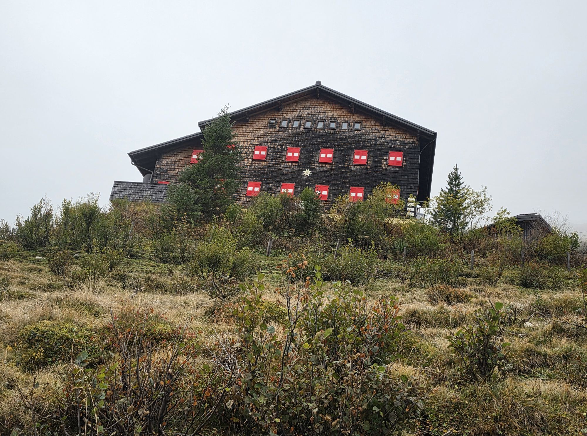
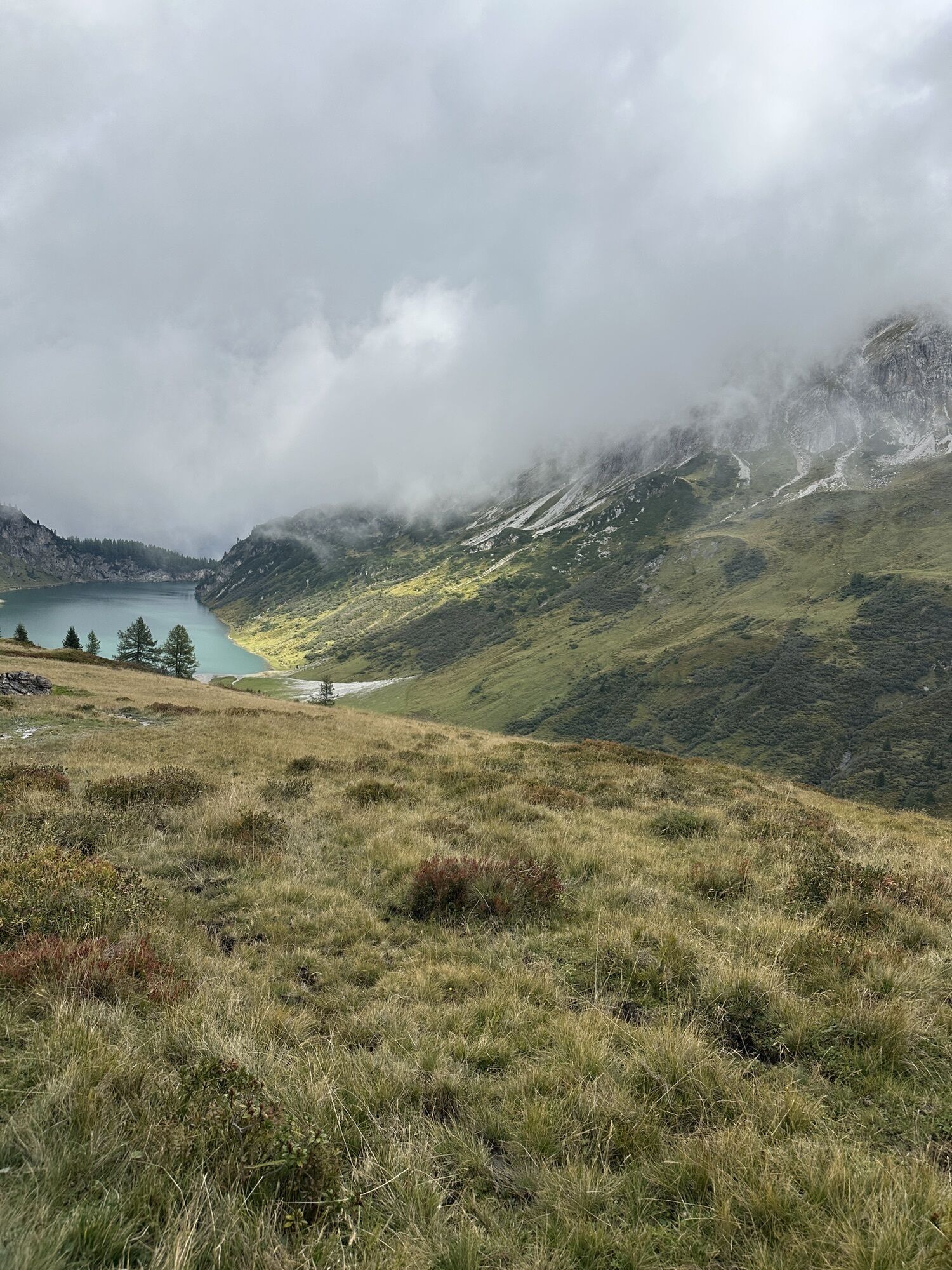
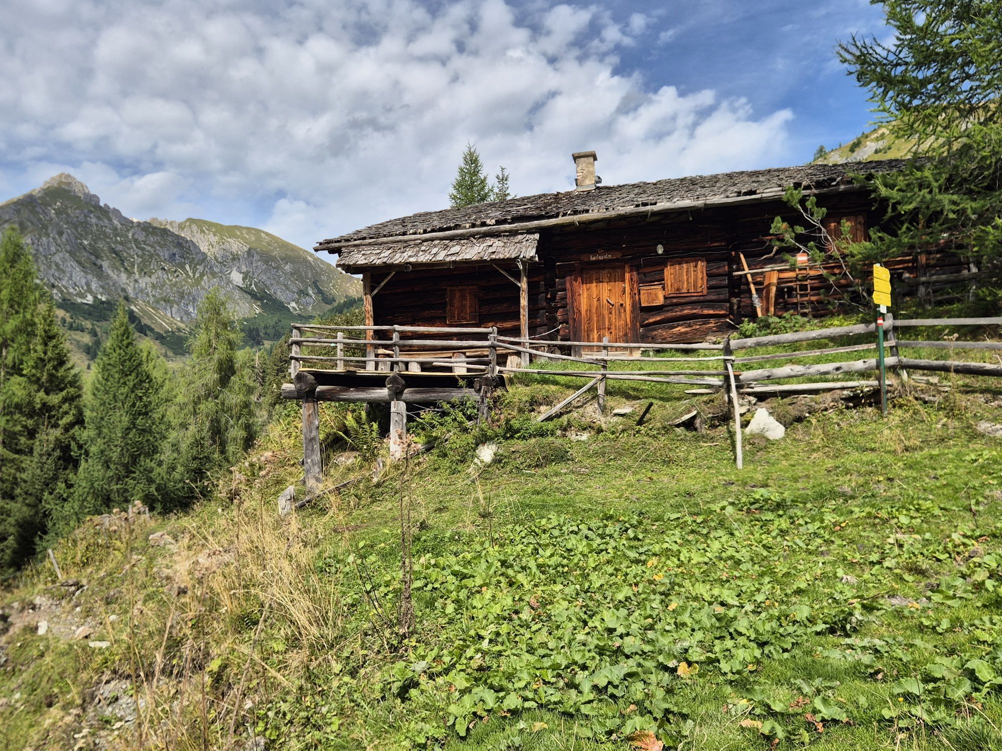
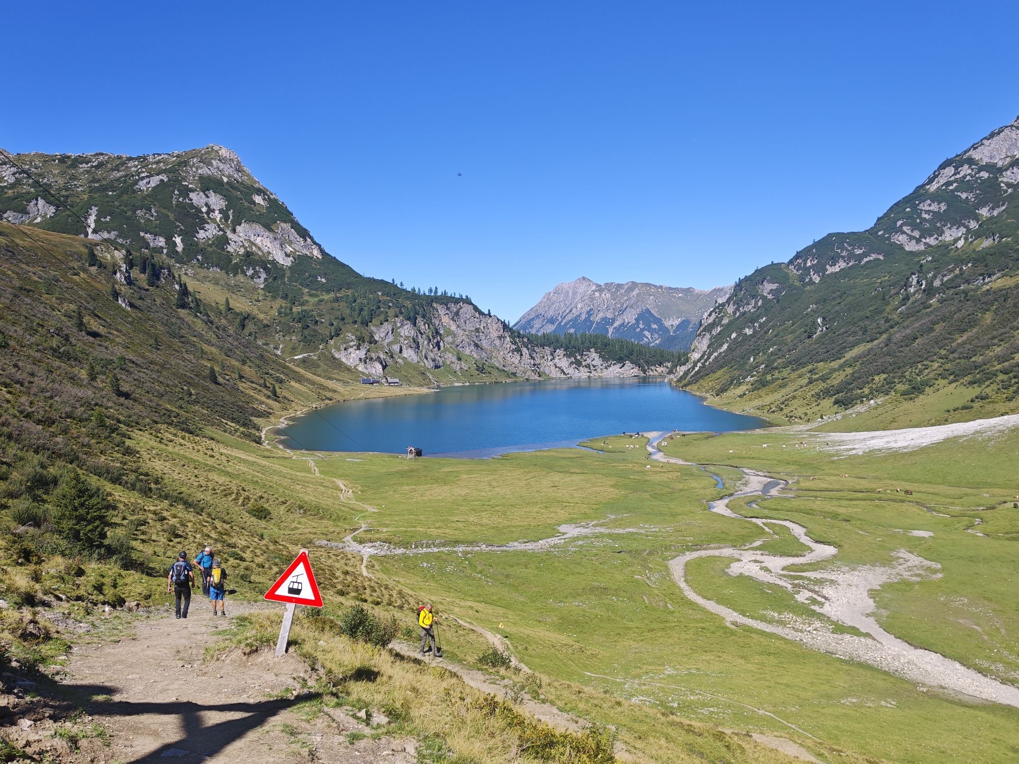
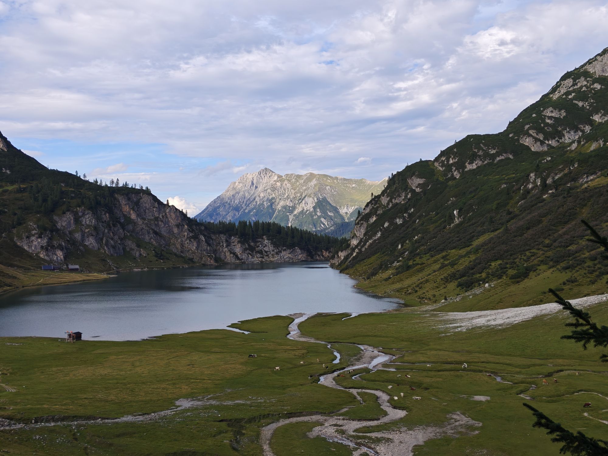
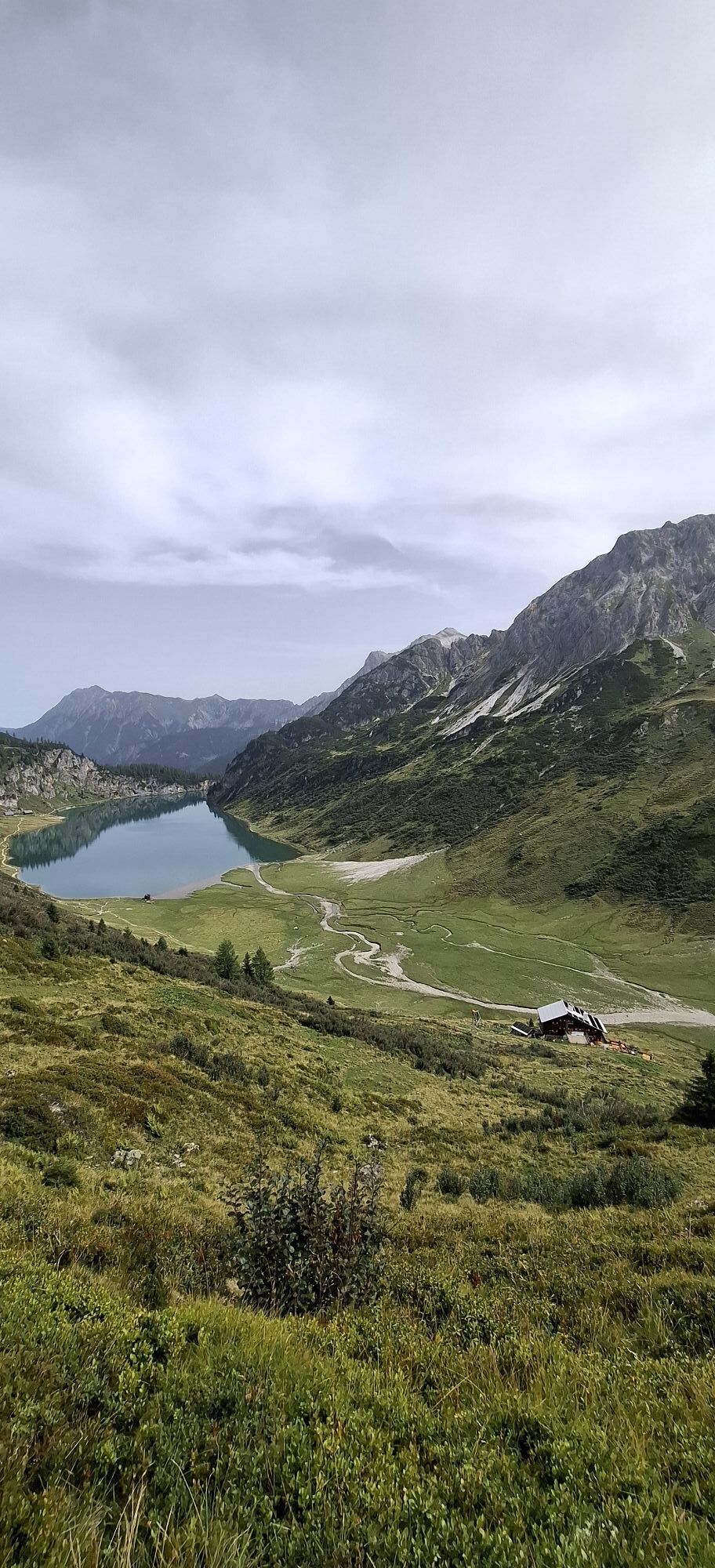
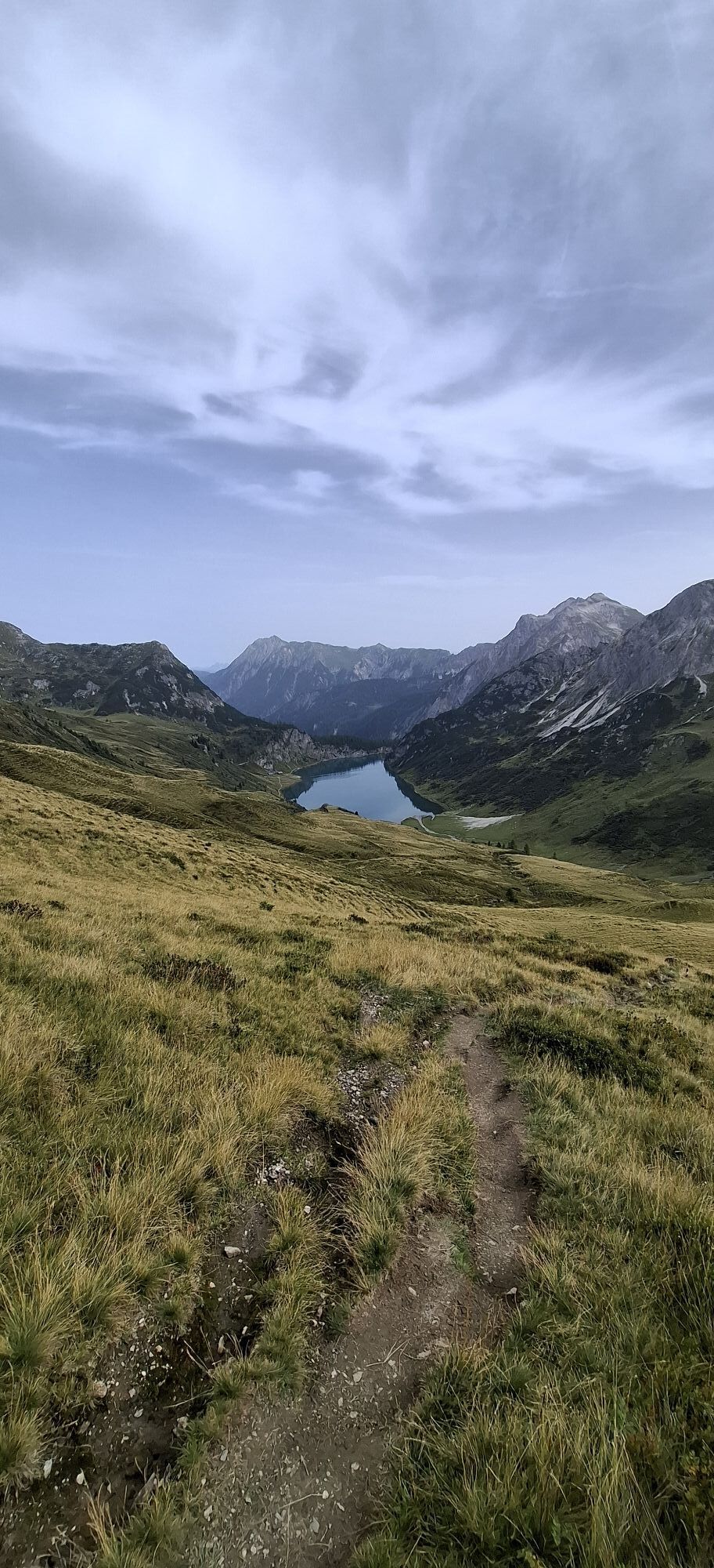
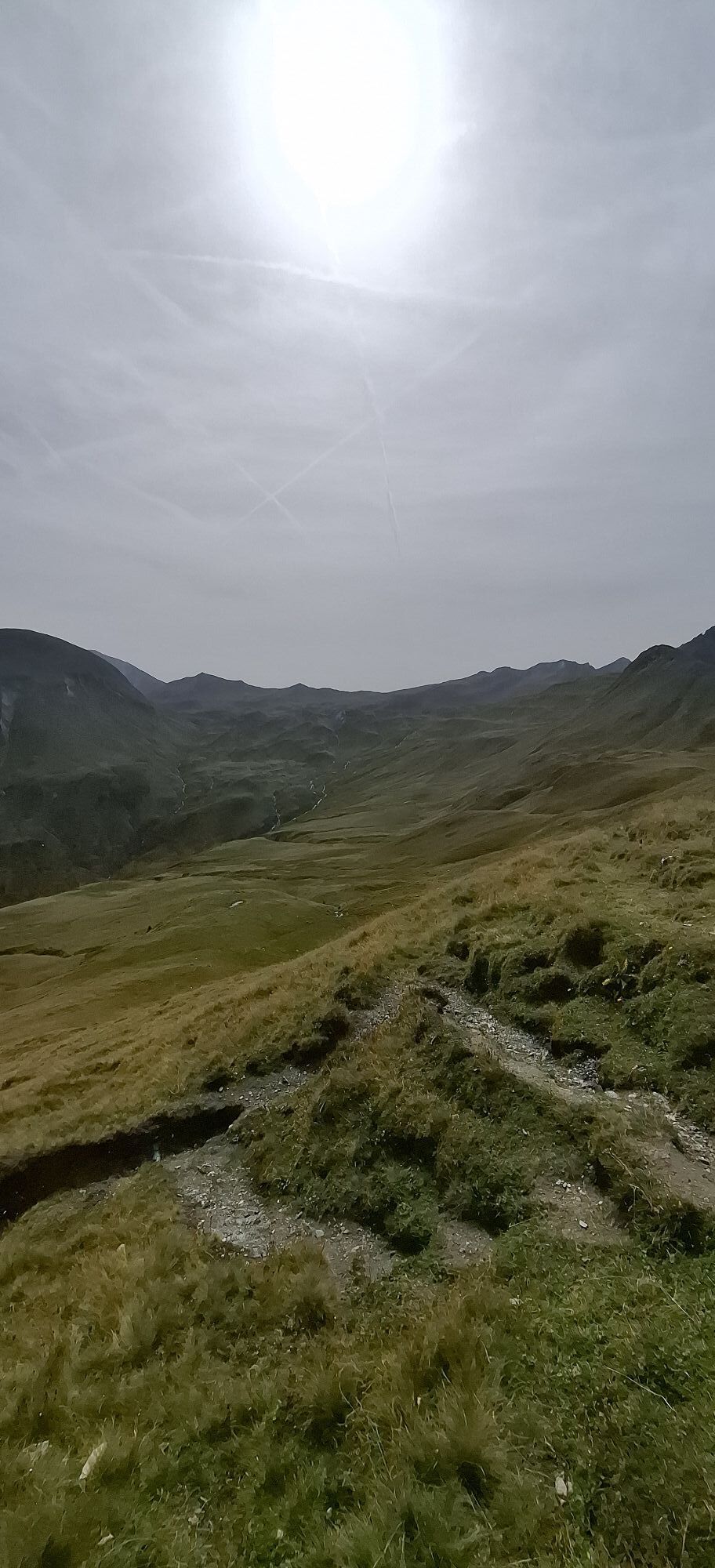
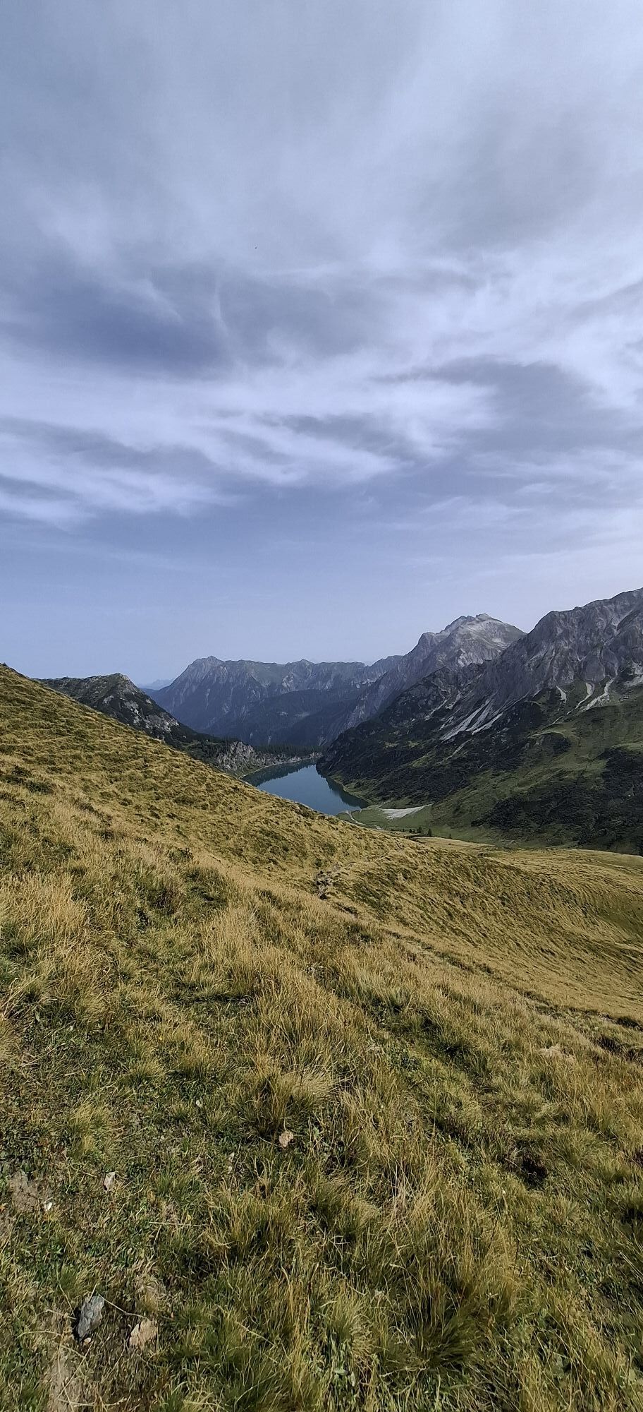
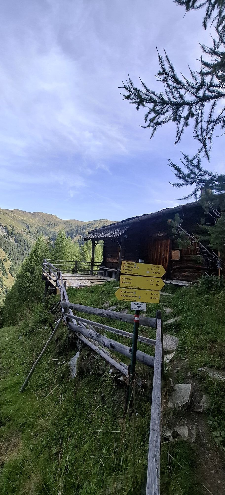
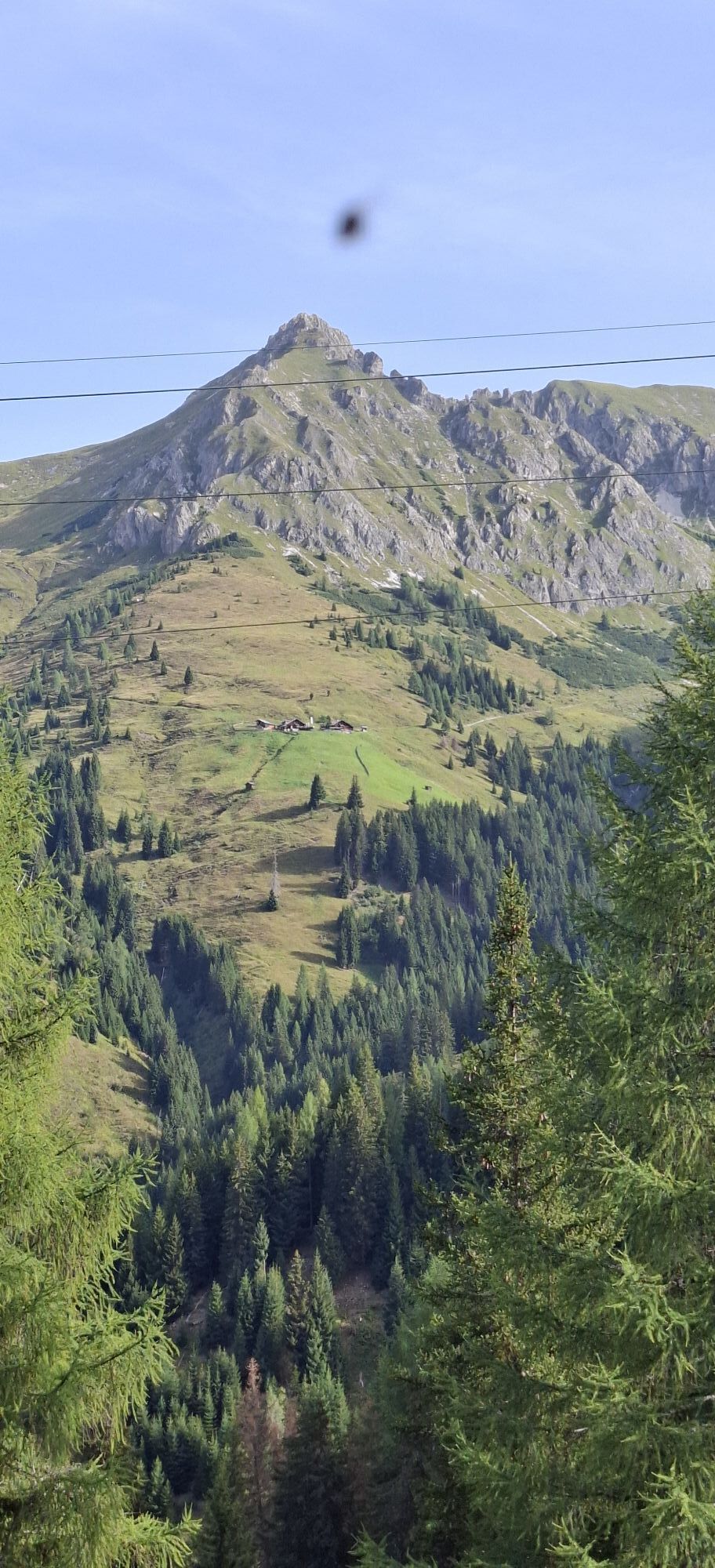
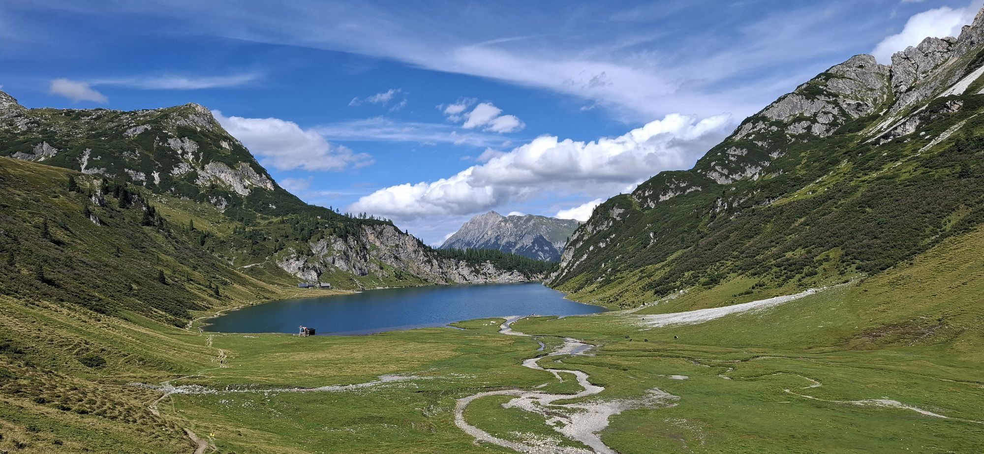
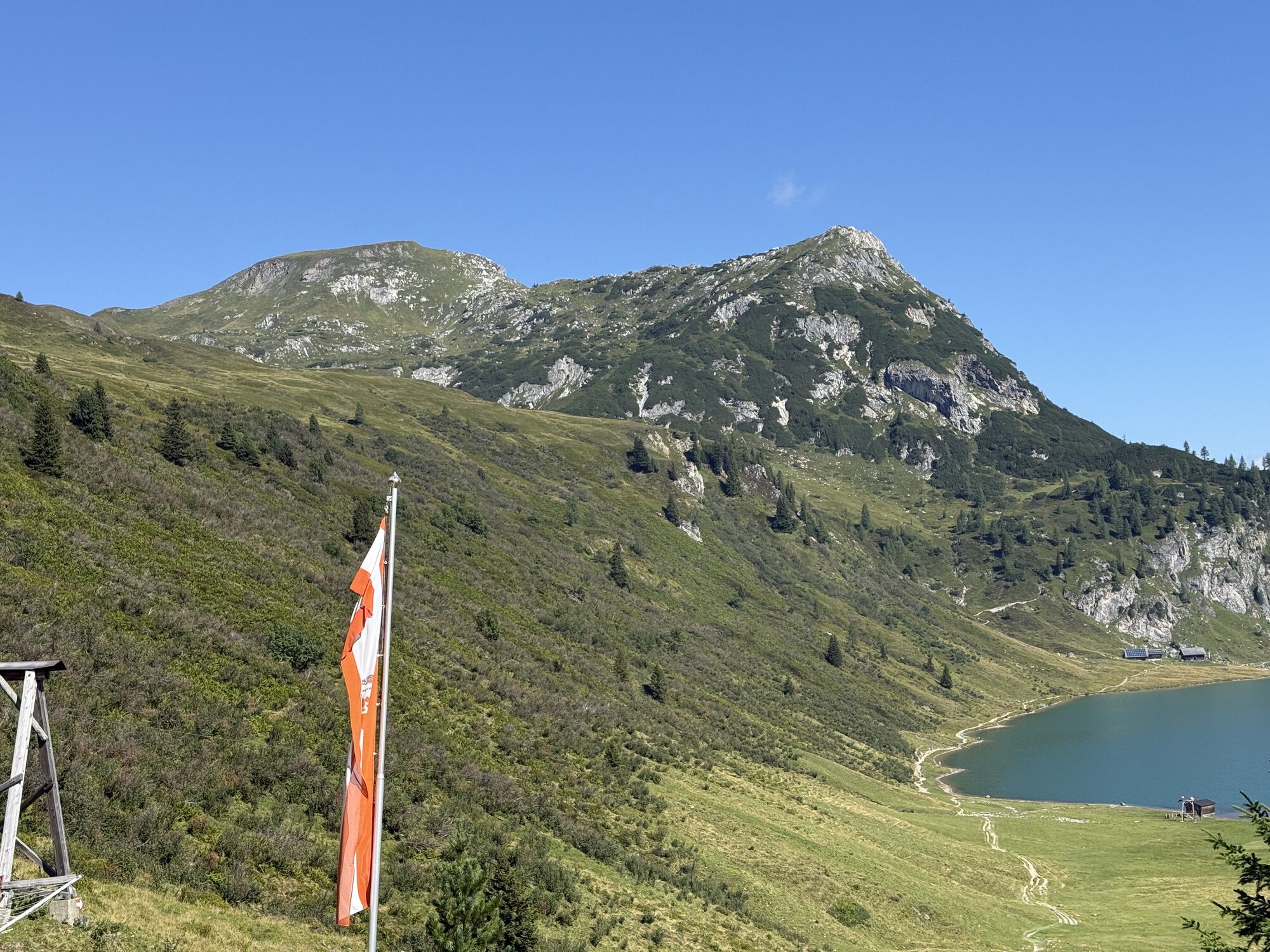
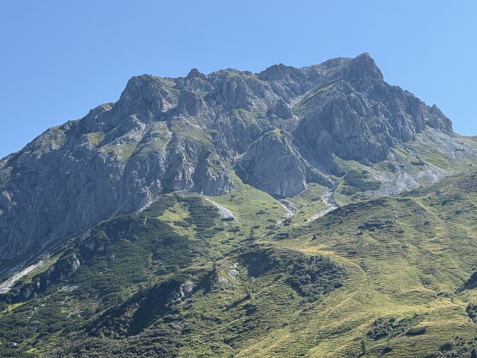
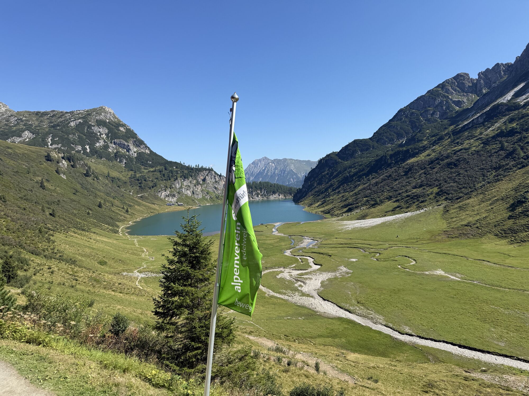
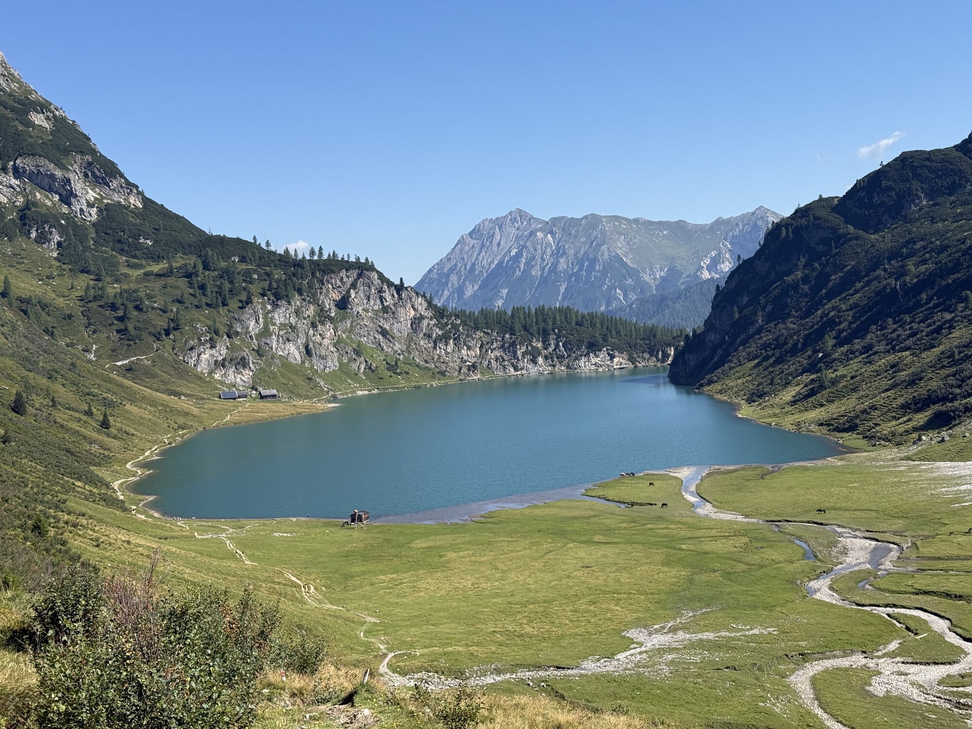
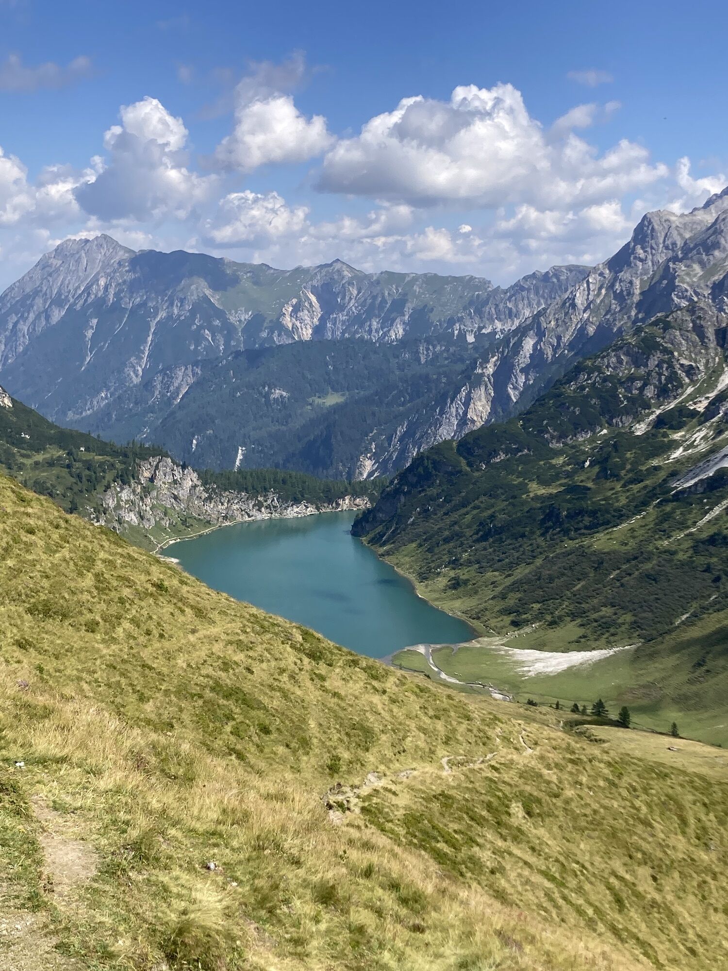
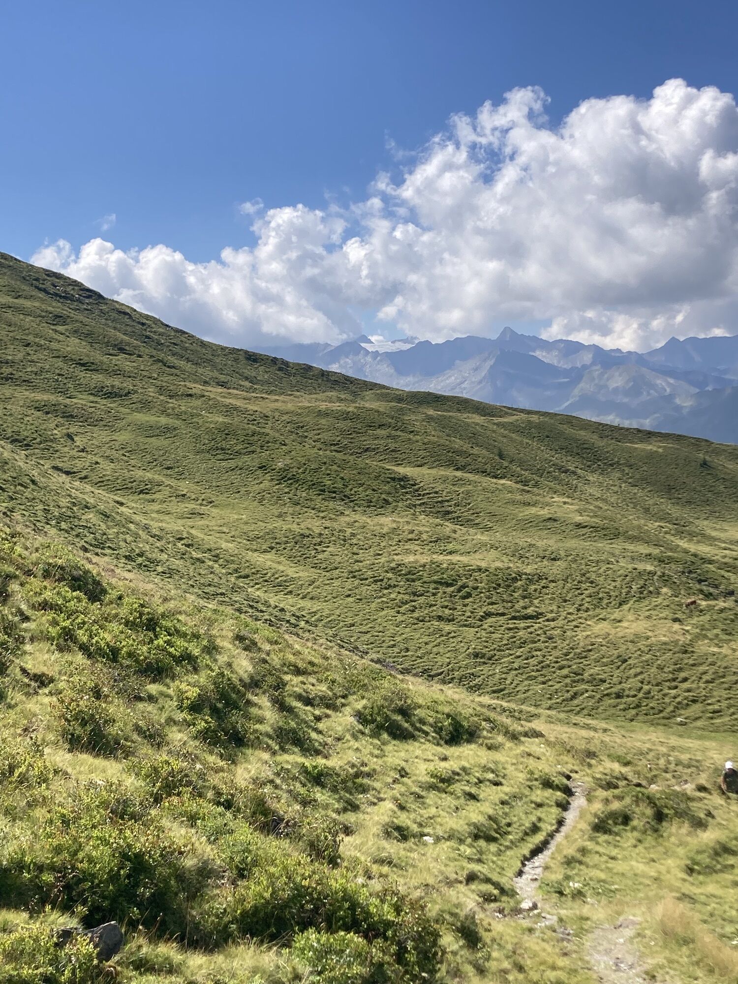
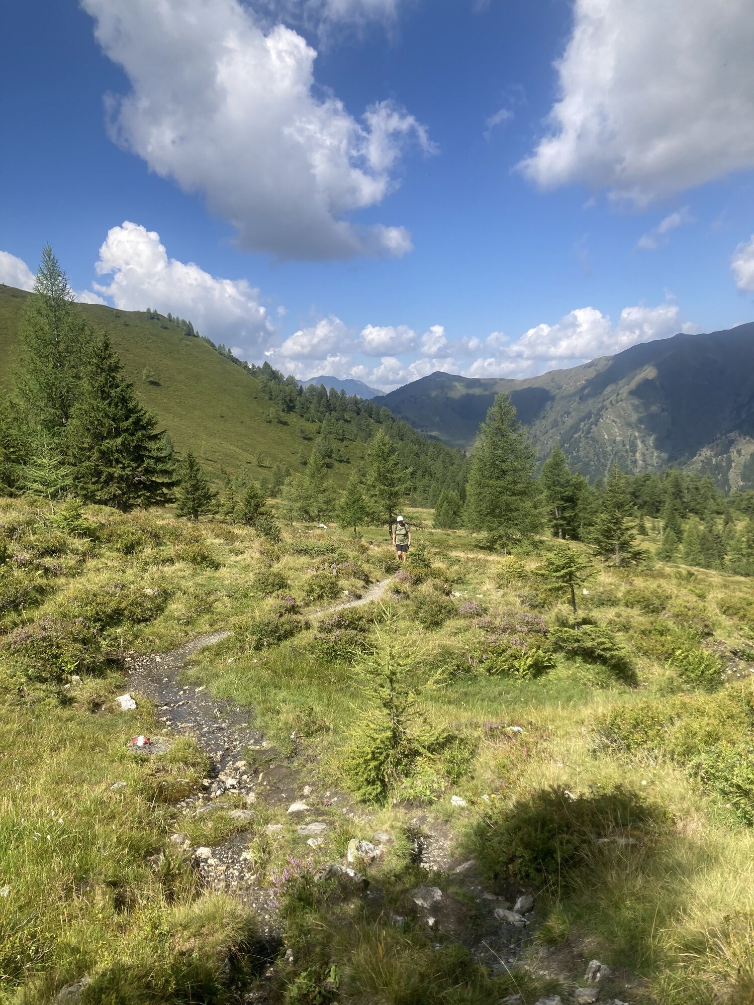
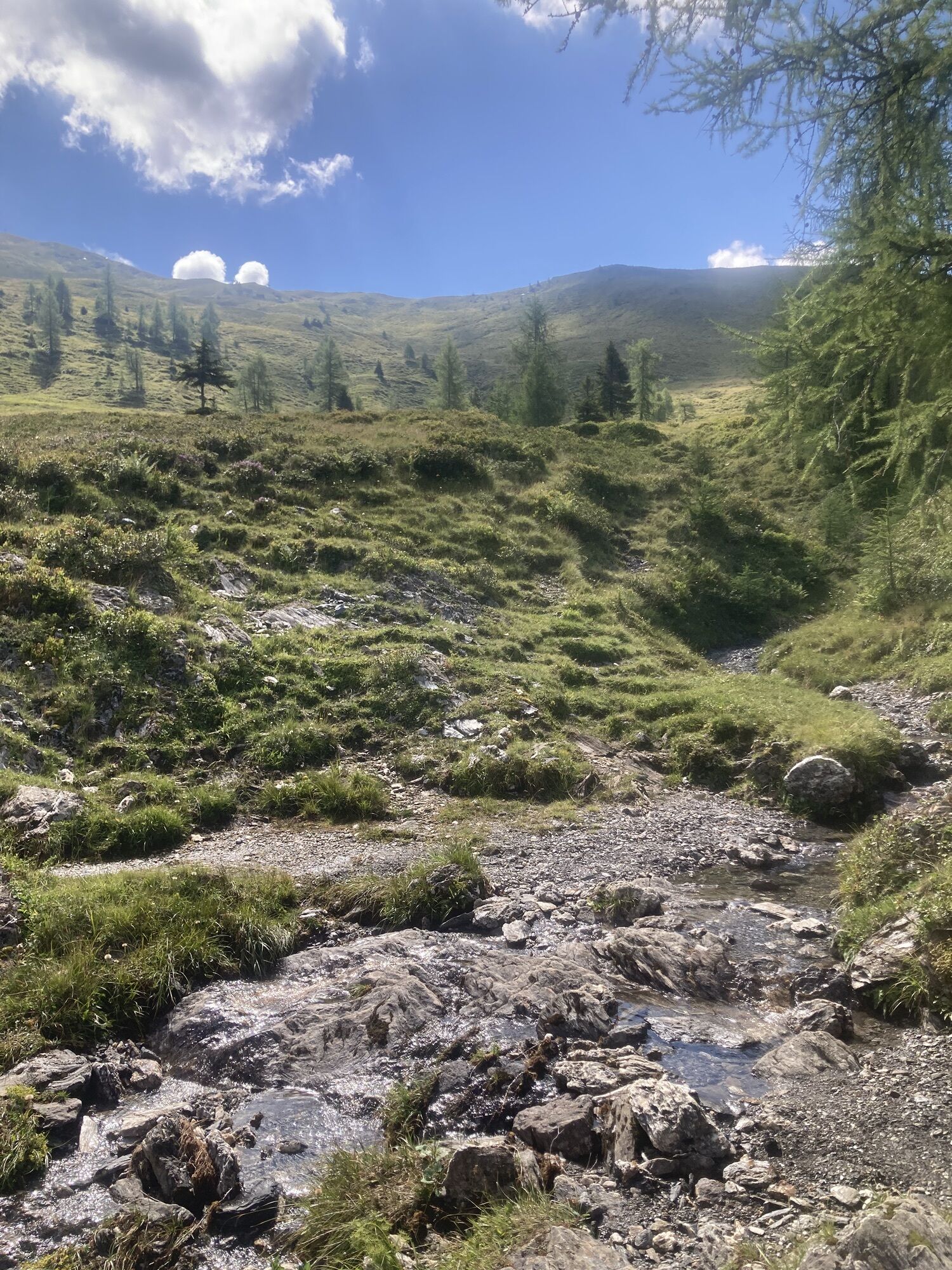
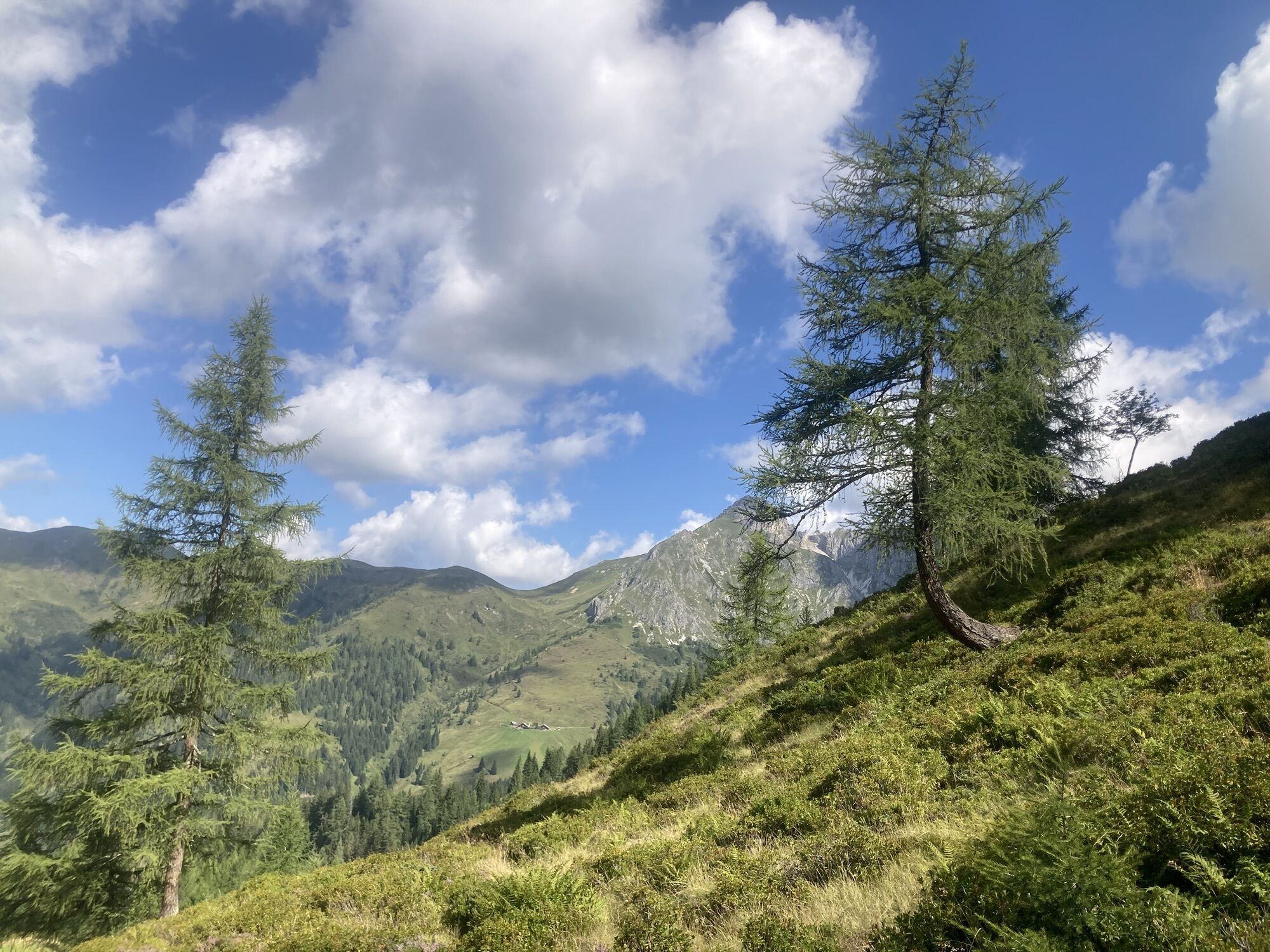
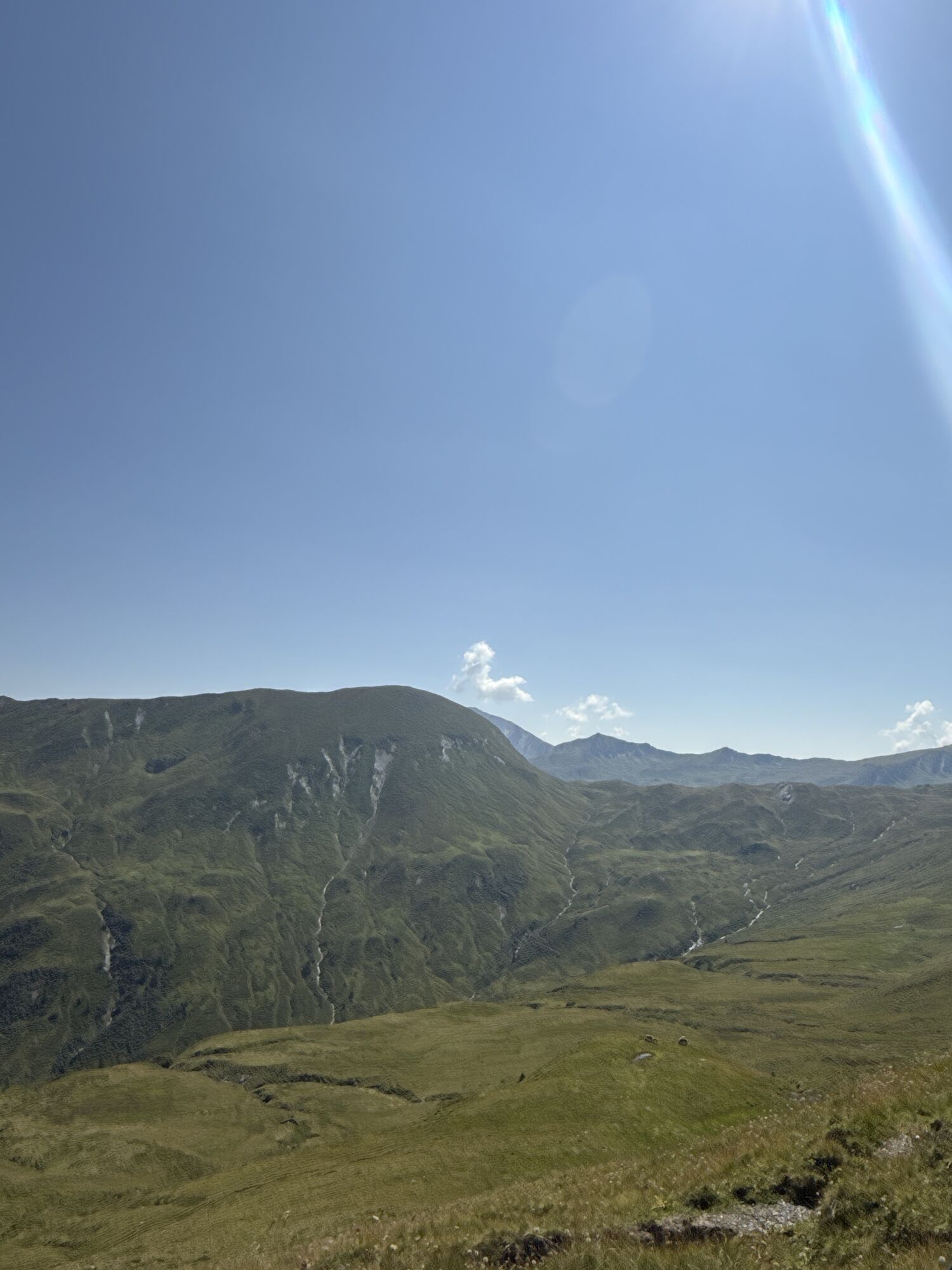
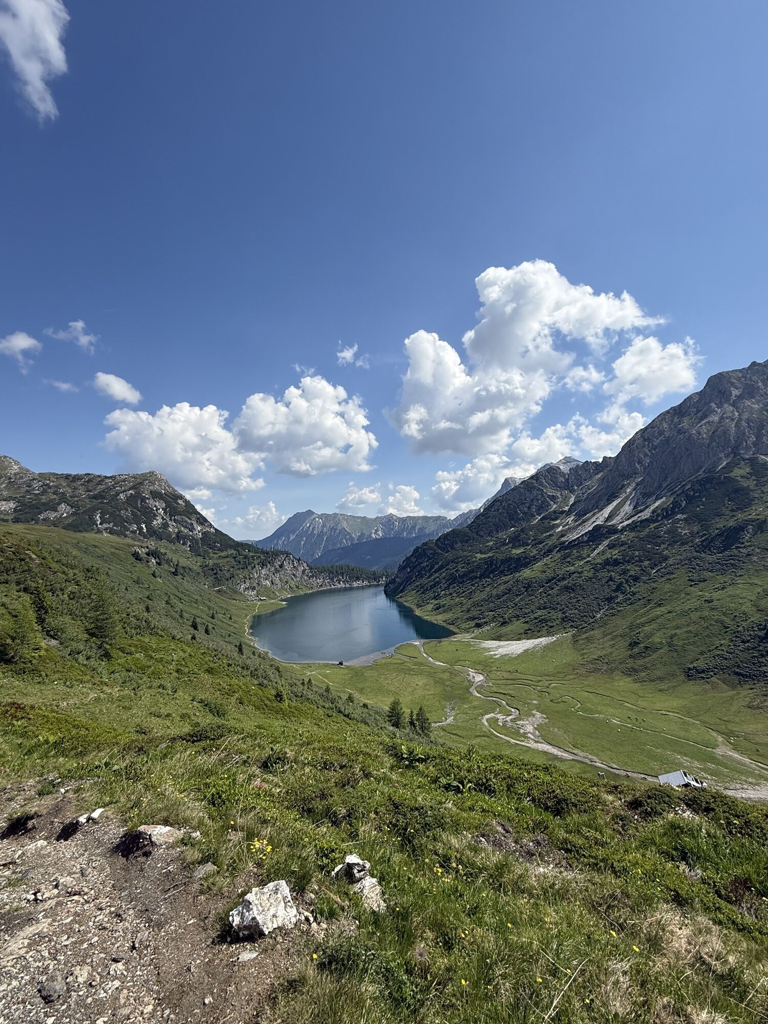
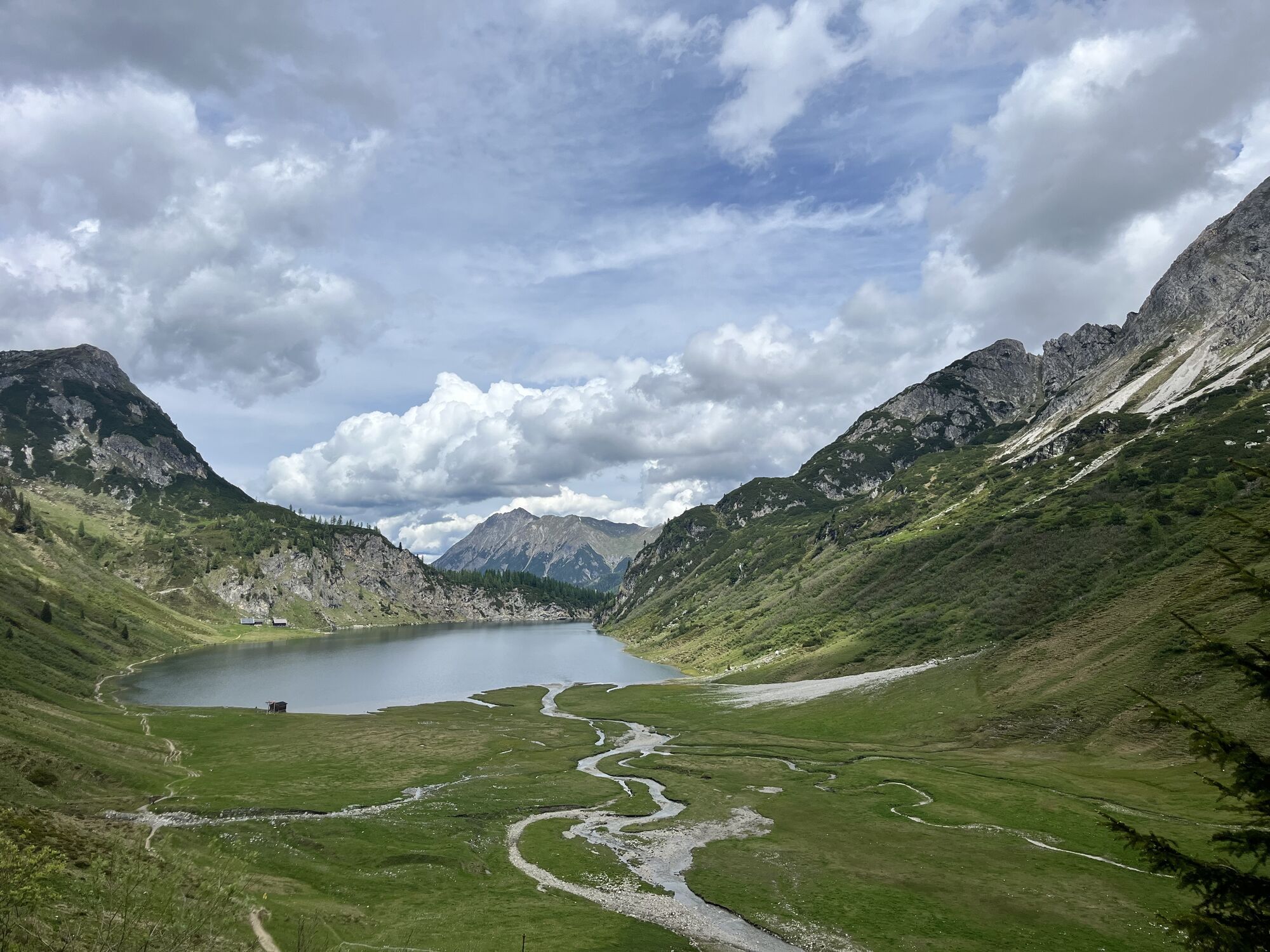
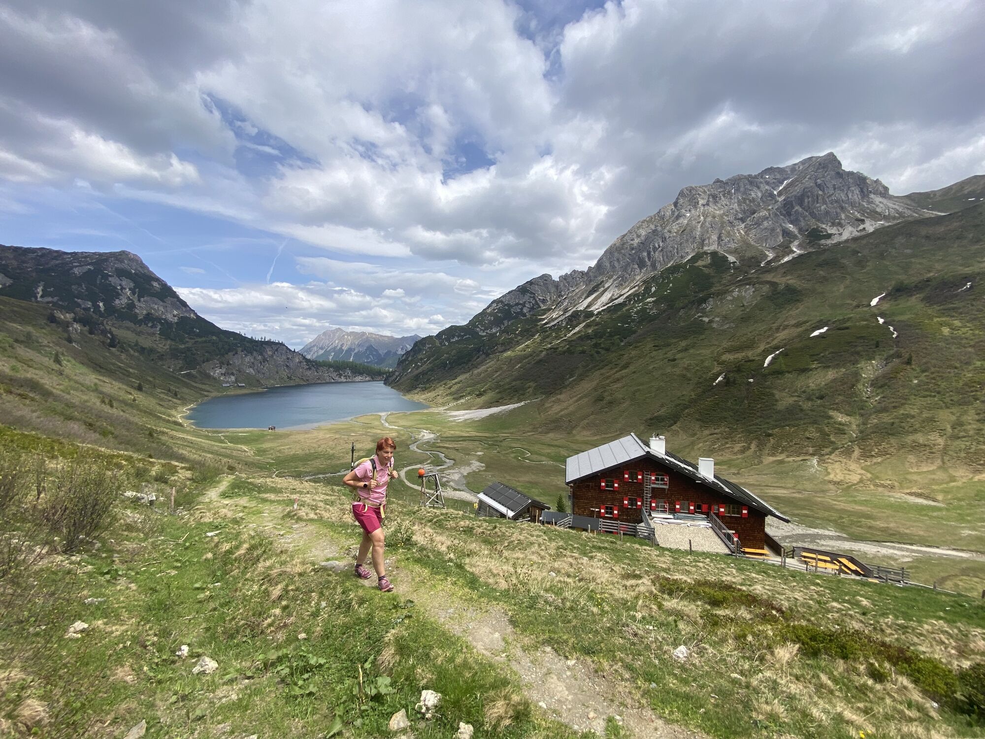
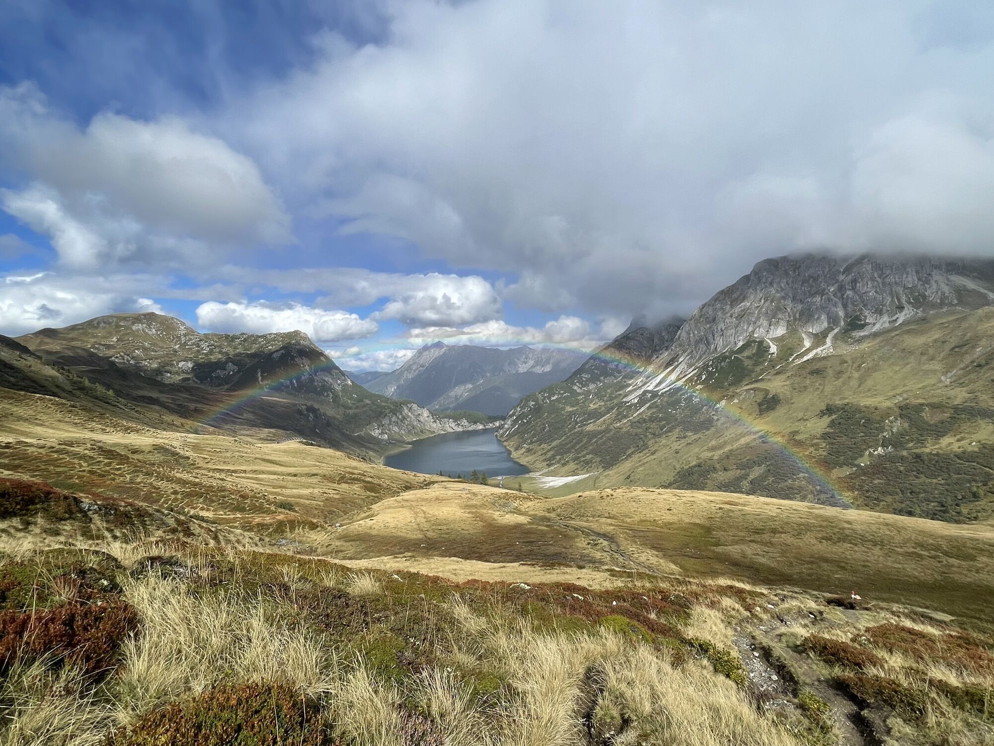
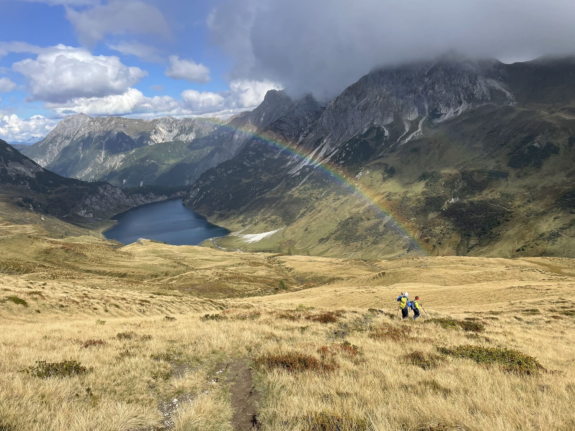
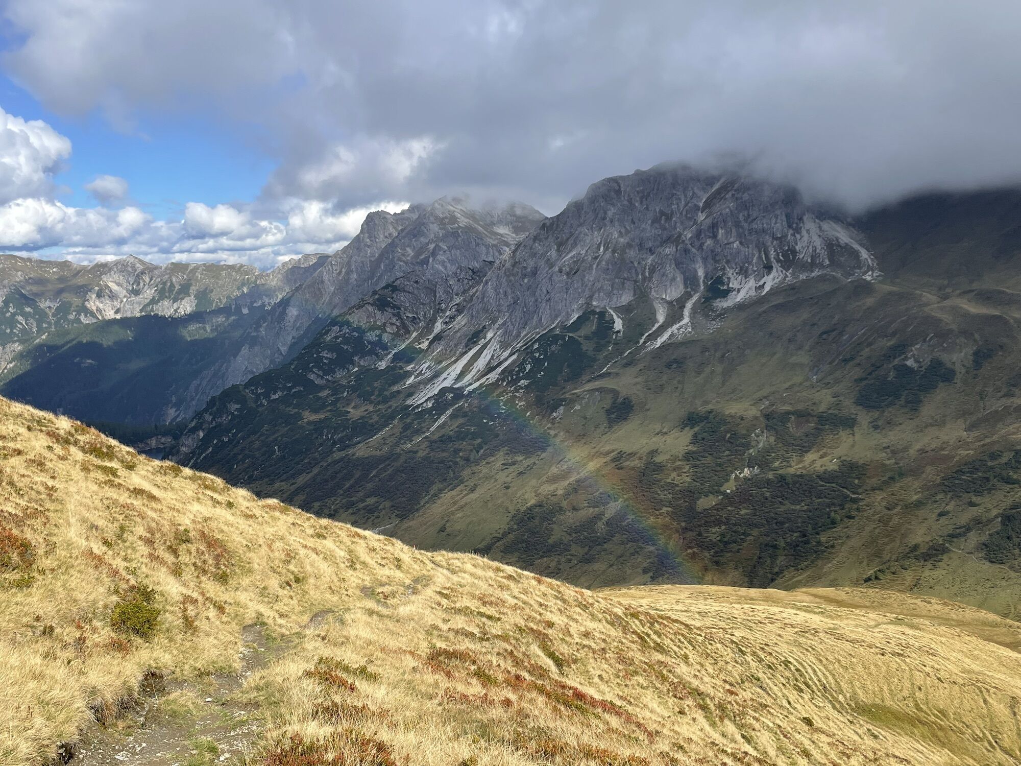
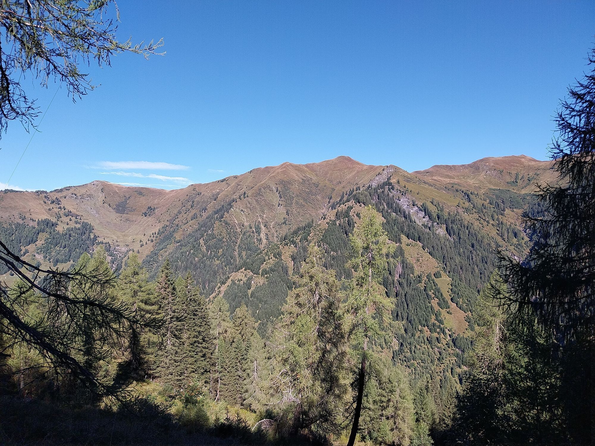


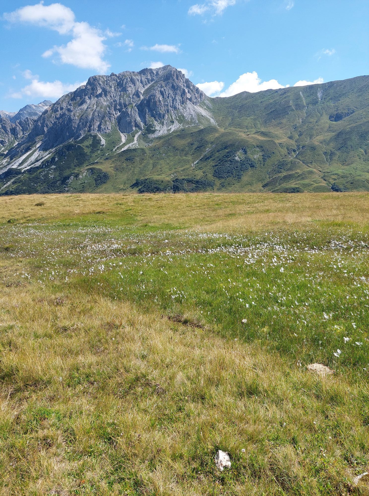
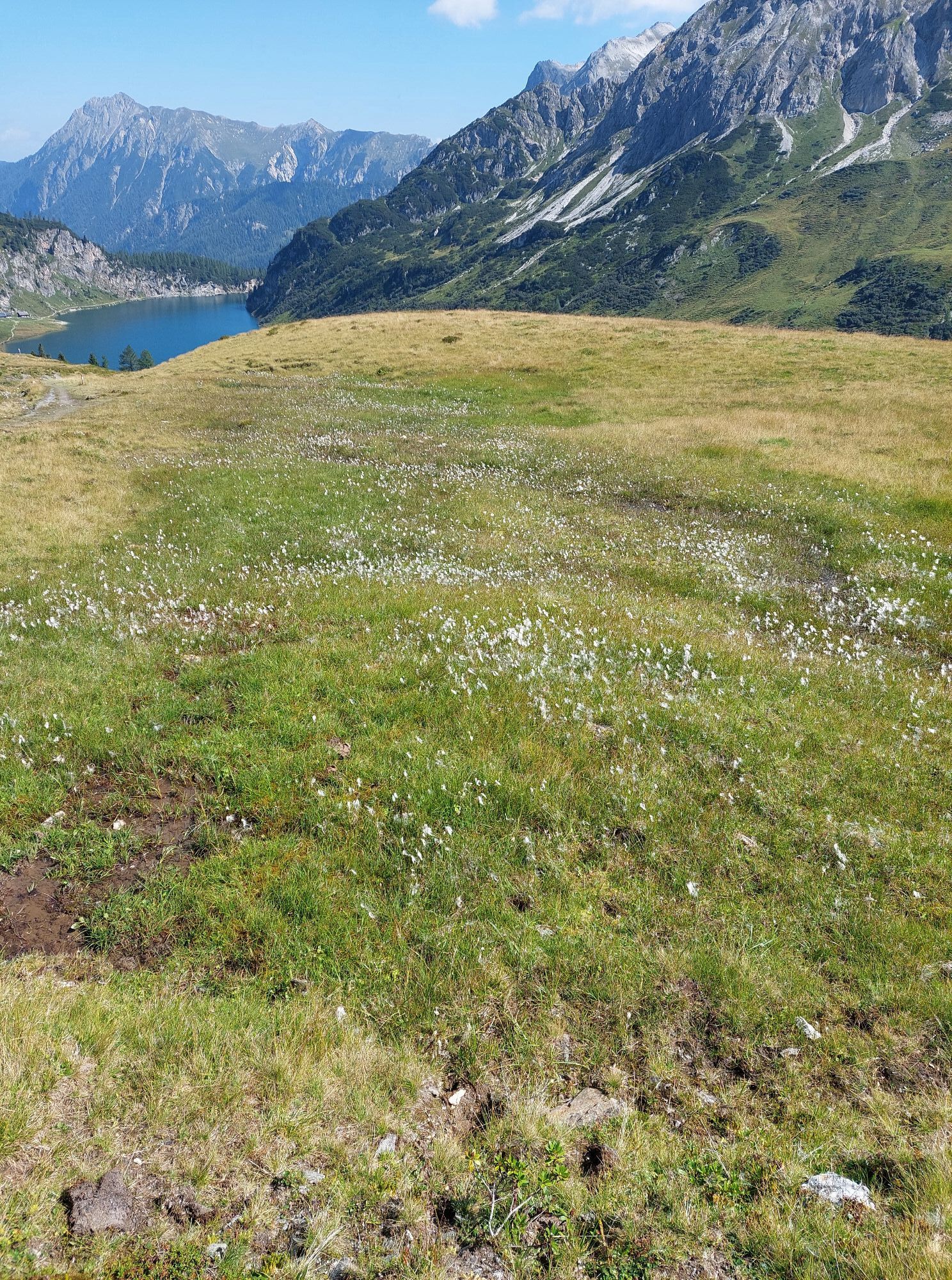
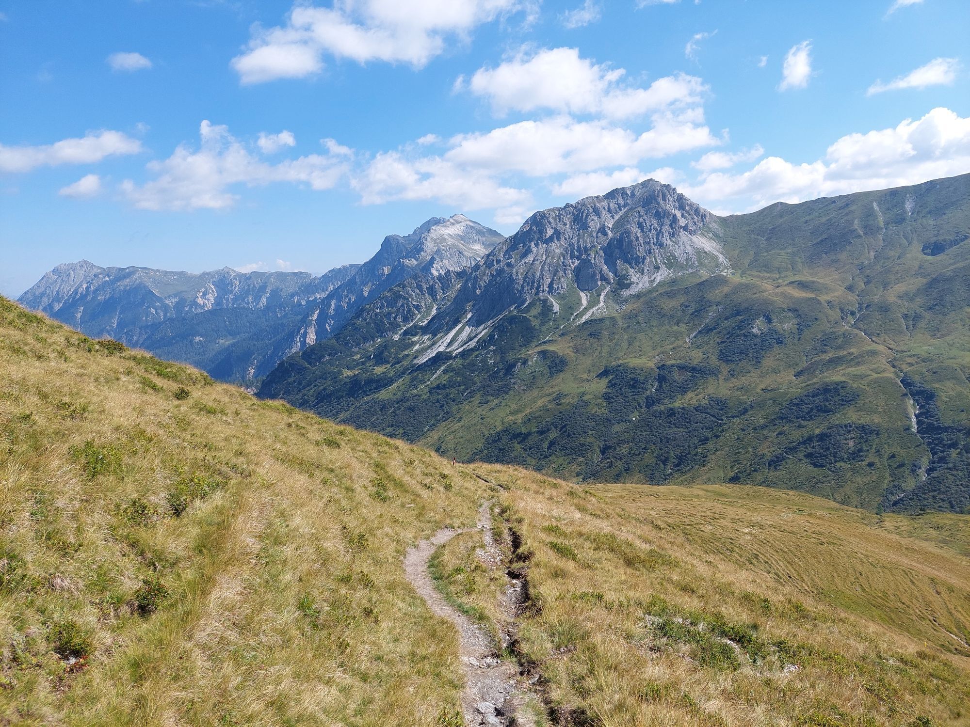
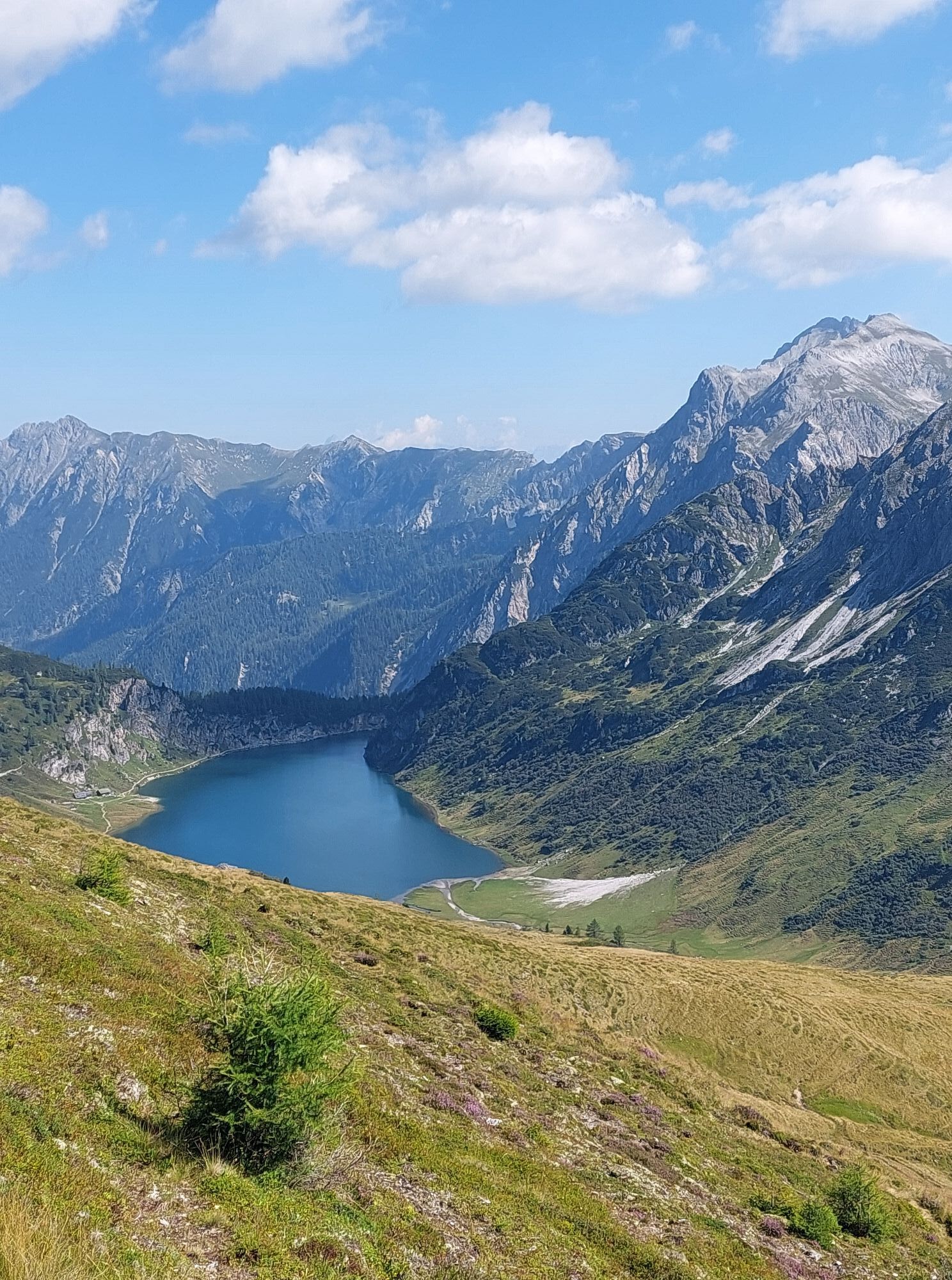
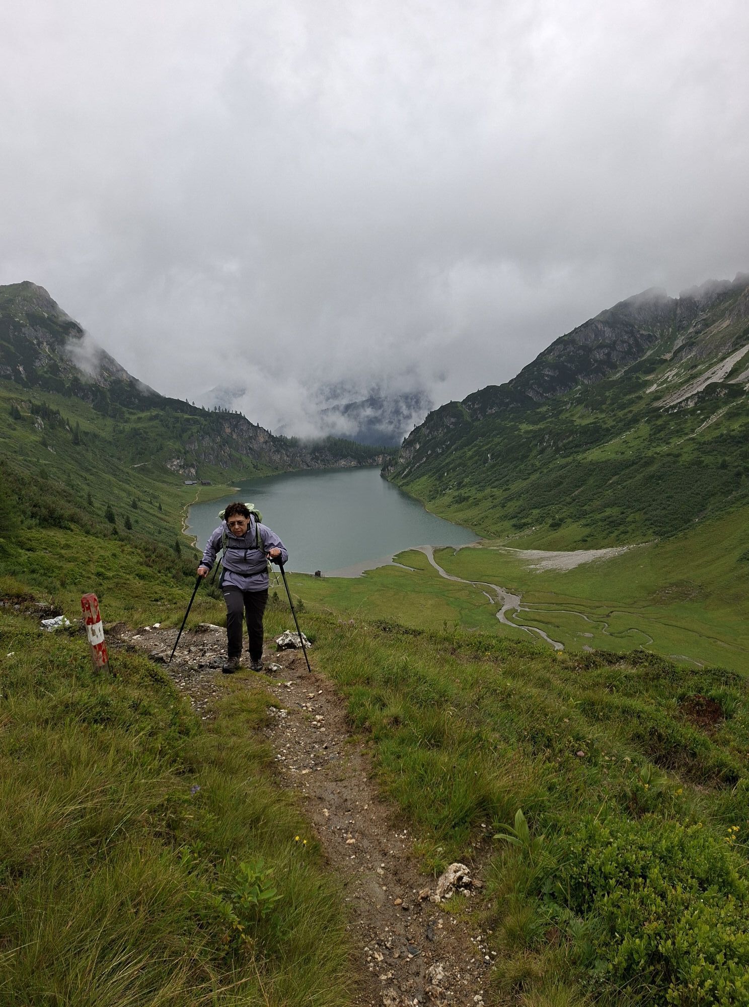
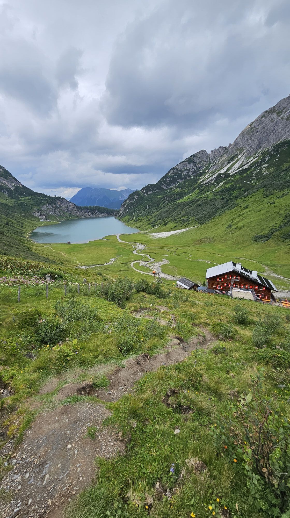
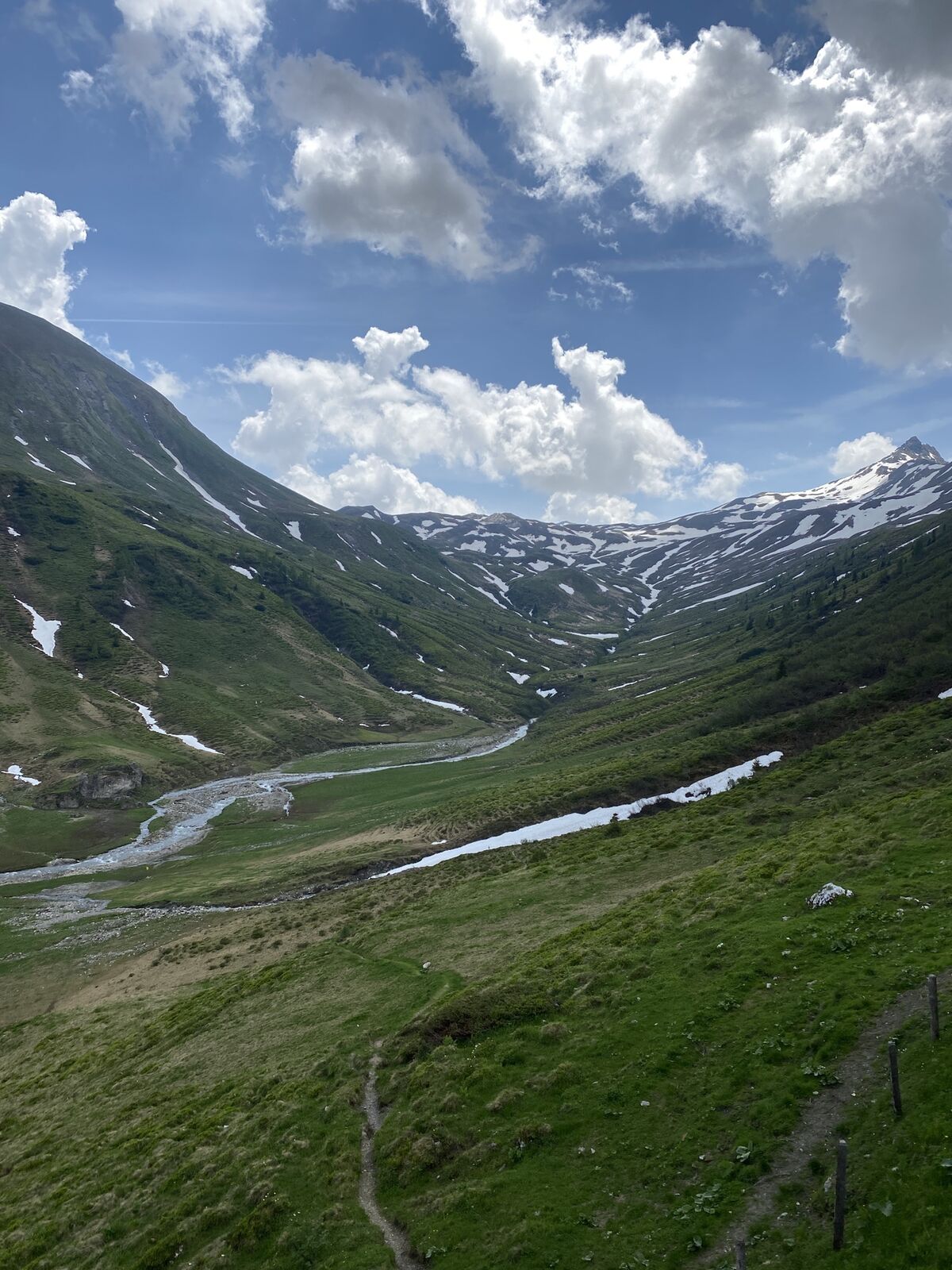
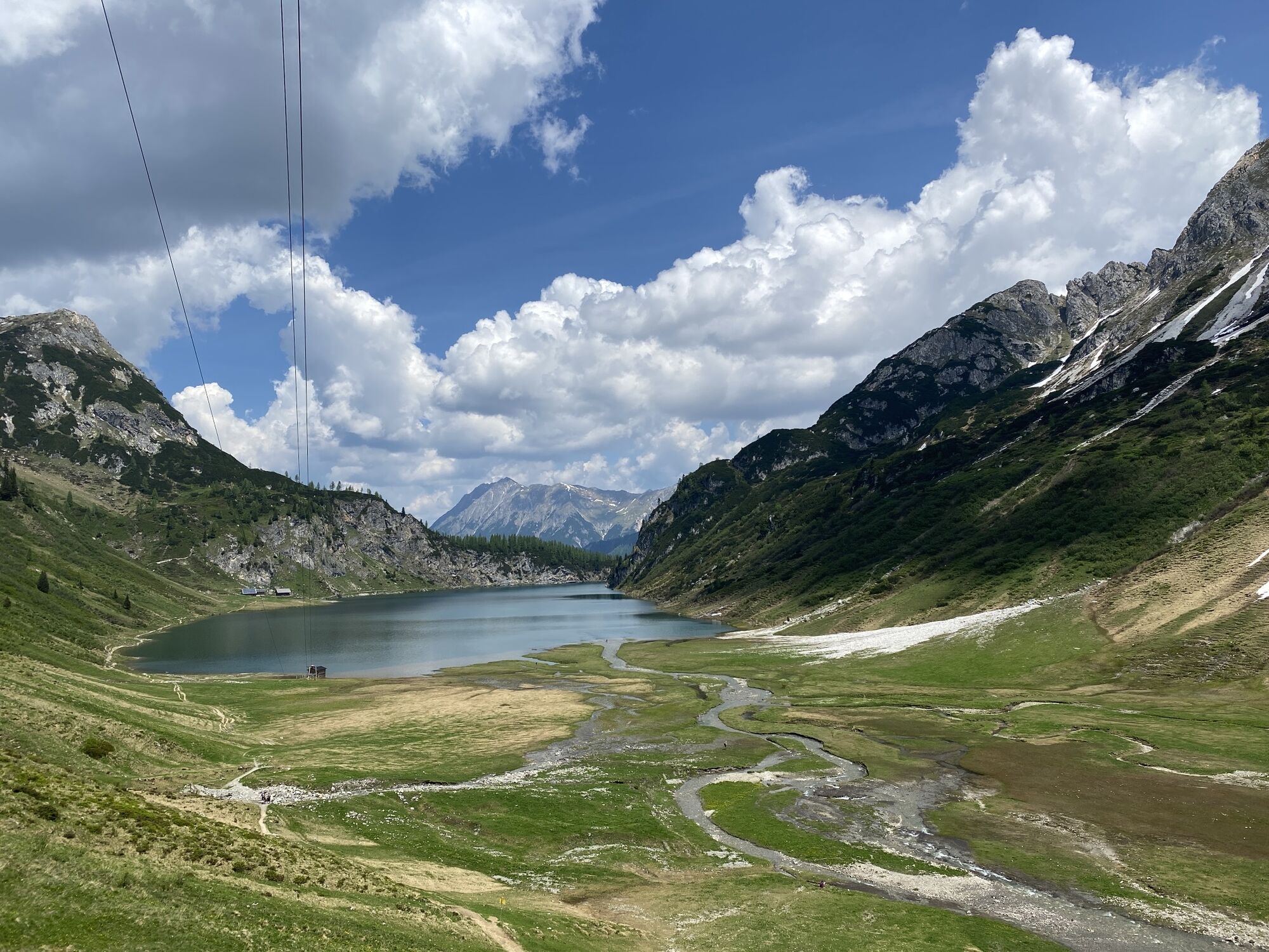
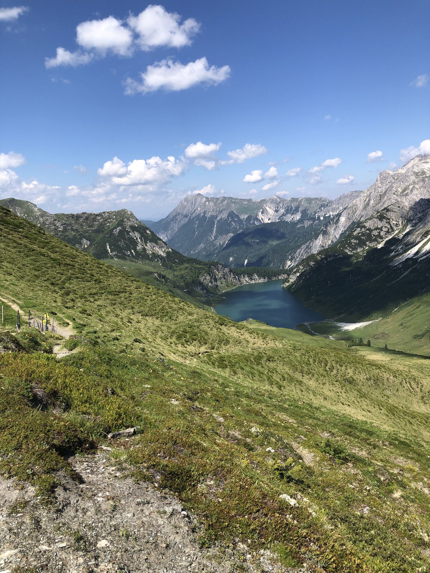
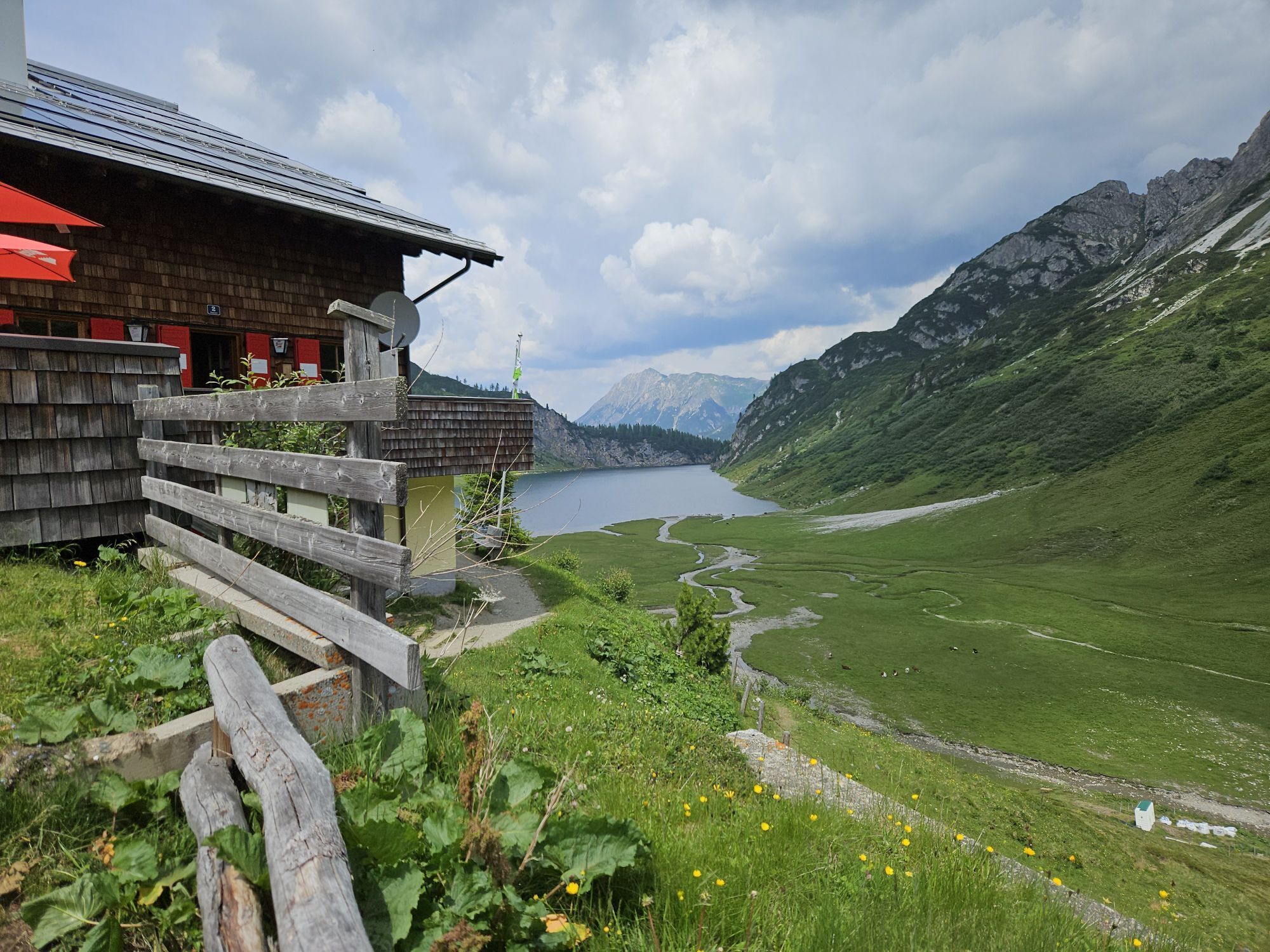
The hike to the Tappenkarsee hut first leads you a short distance along the forest road until it finally goes on a hiking path through the forest and then over the alpine meadows. It is especially beautiful...
Other options:
The Tappenkarsee hut can also be reached from Hüttschlag via the Draugsteinalmen and the Draugsteintörl. The hike can also be started from the neighboring valley Kleinarl and you hike from there to the Tappenkarsee hut. From Jägersee (walking time: approx. 3 1/2 hours) and from Schwabalm (walking time: approx. 2 1/2 hours) you can ascend. You also have the option to do a beautiful circular route.Is overnight accommodation available at Tappenkarseehütte?
Yes, overnight stays are available at Tappenkarseehütte.
Can I reach Tappenkarseehütte by mountain bike?
No, Tappenkarseehütte is not accessible by mountain bike.
Is Tappenkarseehütte accessible with a pushchair?
No, Tappenkarseehütte is not accessible with a pushchair.
Can I take a taxi to Tappenkarseehütte?
No, it is not possible to take a taxi to Tappenkarseehütte.
Can I drive to Tappenkarseehütte by car?
No, Tappenkarseehütte is not accessible by car.
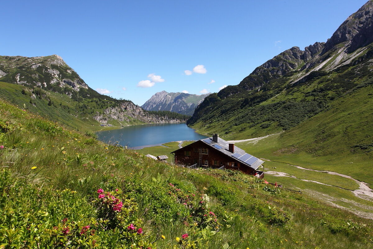
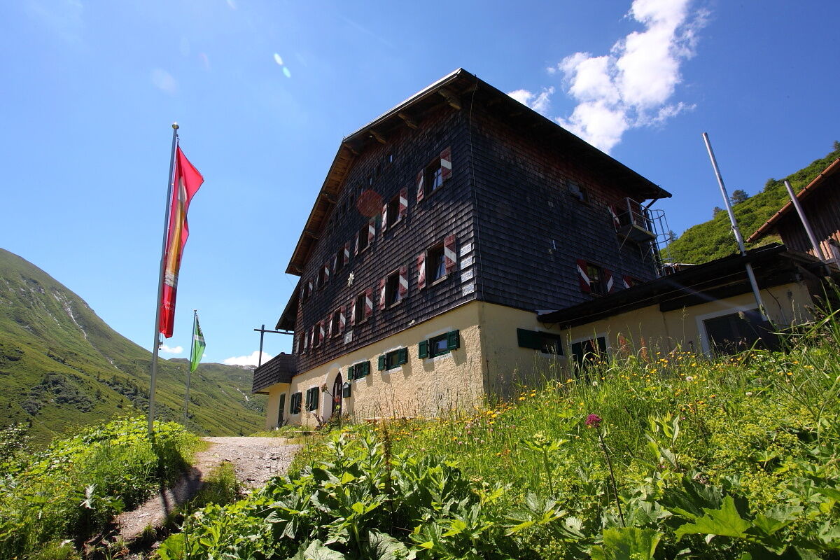

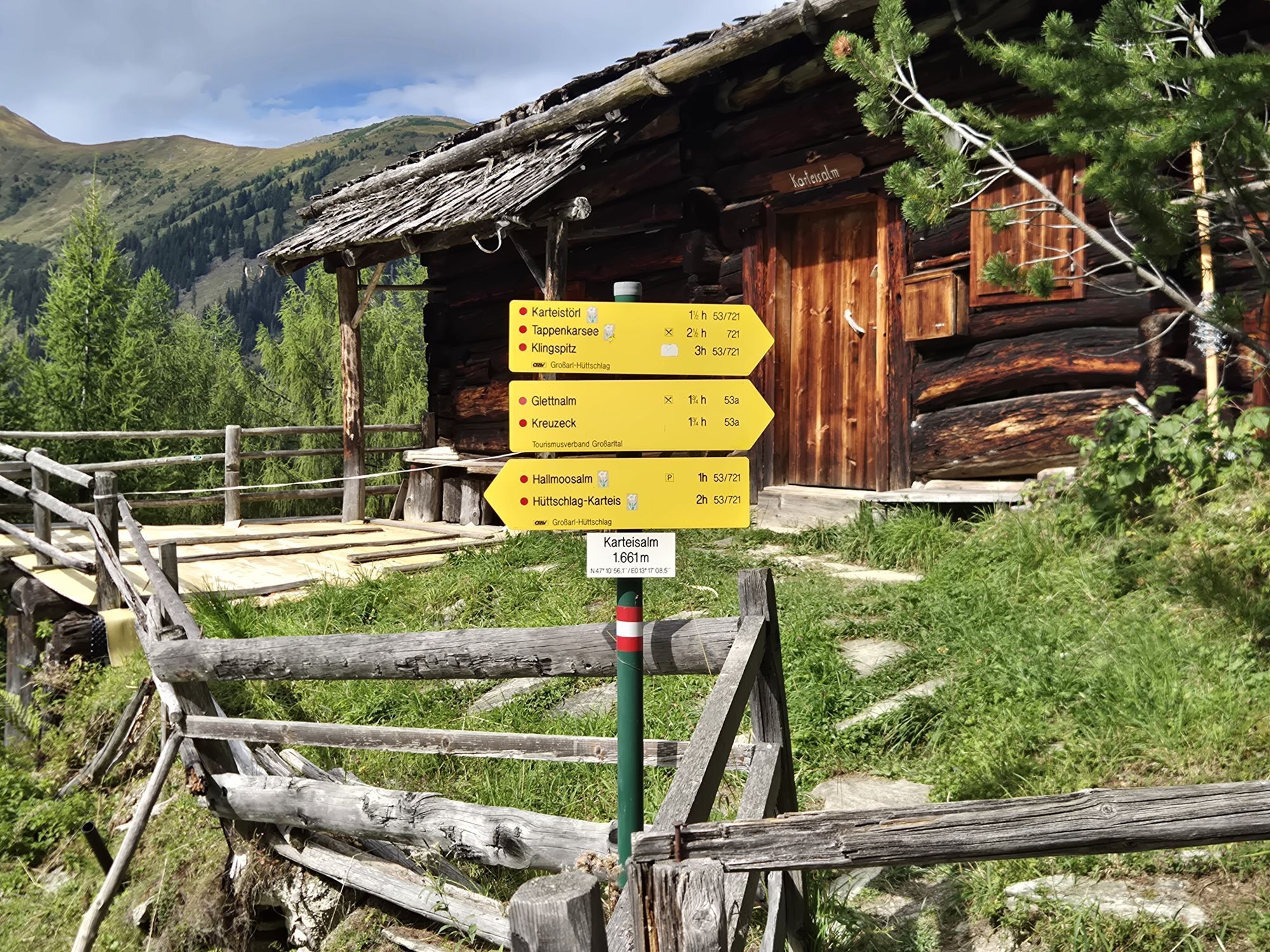
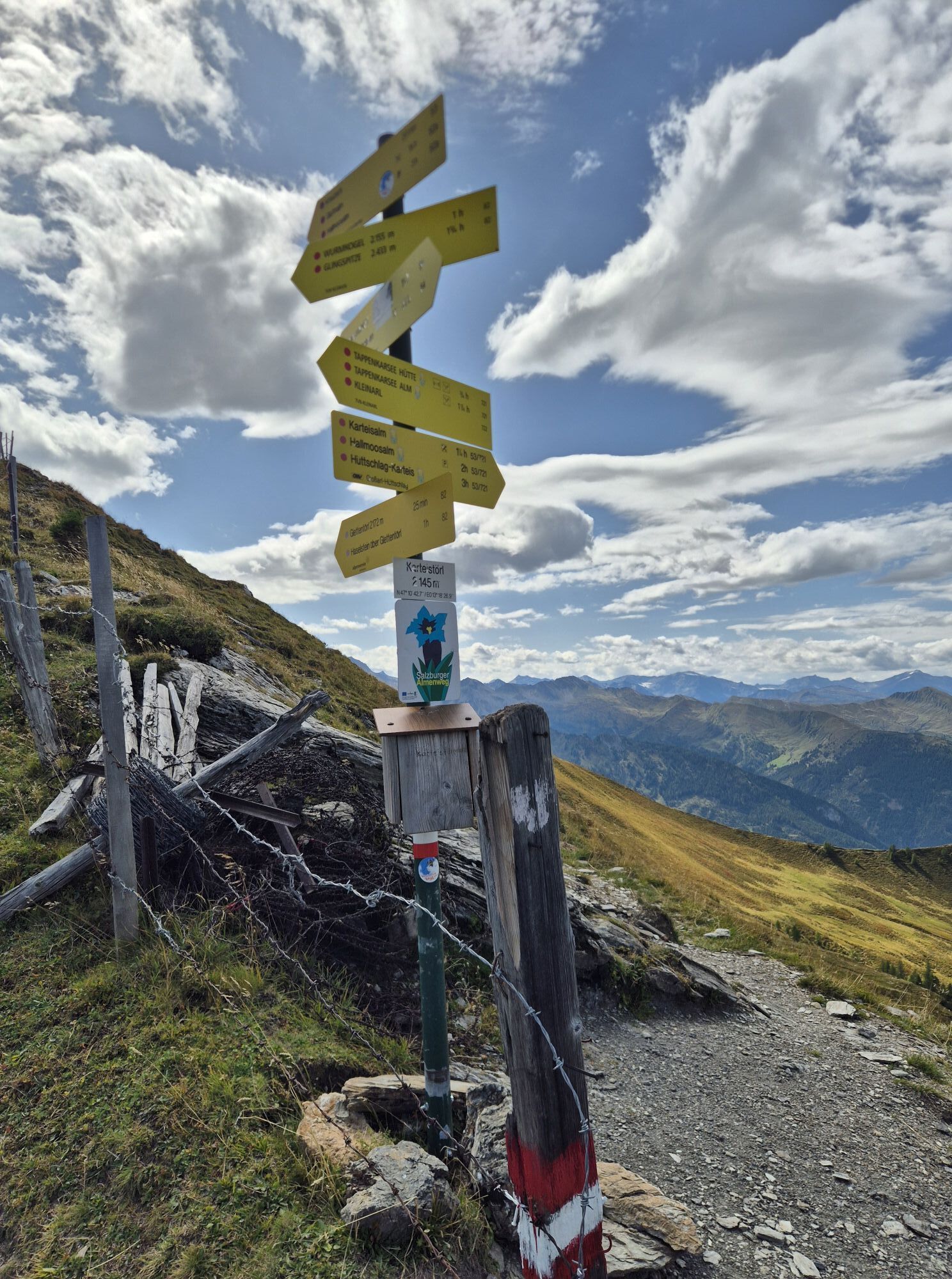
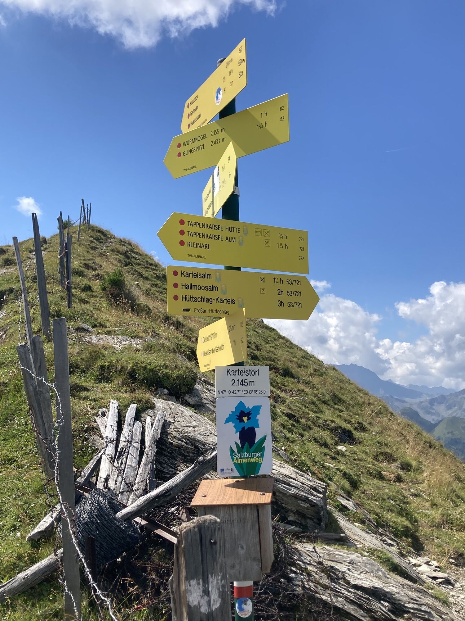
From the Hallmoosalm car park, 1,300 m, first walk a short stretch along the forest road (No. 53, 721), after about 1 km turn left and follow hiking path 53, 721 to the Karteisalm, 1,661 m (approx. 1 hour, not managed). Continue on the same path to the Karteistörl, 2,145 m (approx. 1 1/2 hours). Descend on path No. 721 to the Tappenkarsee hut, 1,820 m (approx. 1 hour). Return the same way (approx. 3 hours).
Ano
Ano
Hiking boots with profiled sole, hiking map
Drive by car or walking taxi to Hallmoosalm in Hüttschlag.
Hallmoosalm car park - there are parking options directly at Hallmoosalm and others further up.




Oblíbené prohlídky v okolí
-
5.0
Hüttschlag: Karteistörl - Tappenkarsee - Draugsteintörl - Draugsteinalmen
středníTuristika 13.5 km -
4.9
4-Gipfel-Tour
středníHorská turistika 6.40 km -
4.2
Tappenkarsee Kleinarl
středníTuristika 9.11 km -
4.8
Großarl: Himmelsroute
středníTuristika 5.41 km -
4.7
Großarl: Mooslehenalm – Niggeltalalm – Viehhausalm
středníTuristika 5.44 km -
4.6
Grießenkareck
středníTuristika 4.89 km -
4.7
Großarl: Saukaralm - Saukarkopf - Gerstreitalm
středníTuristika 9.39 km -
4.5
Gastein high path from Bad Gastein to Bad Hofgastein
světloTuristika 8.58 km -
4.8
Grossarl: Gründegg
středníTuristika 9.58 km -
4.8
Großarl: Bichlalm
středníMountainbike 18.9 km
Pěší turistika a stopování


Nenechte si ujít nabídky a inspiraci pro vaši příští dovolenou
Vaše e-mailová adresa byl přidán do poštovního seznamu.


