







Großarl: Filzmoosalm - Filzmooshörndl - Filzmooshöhe

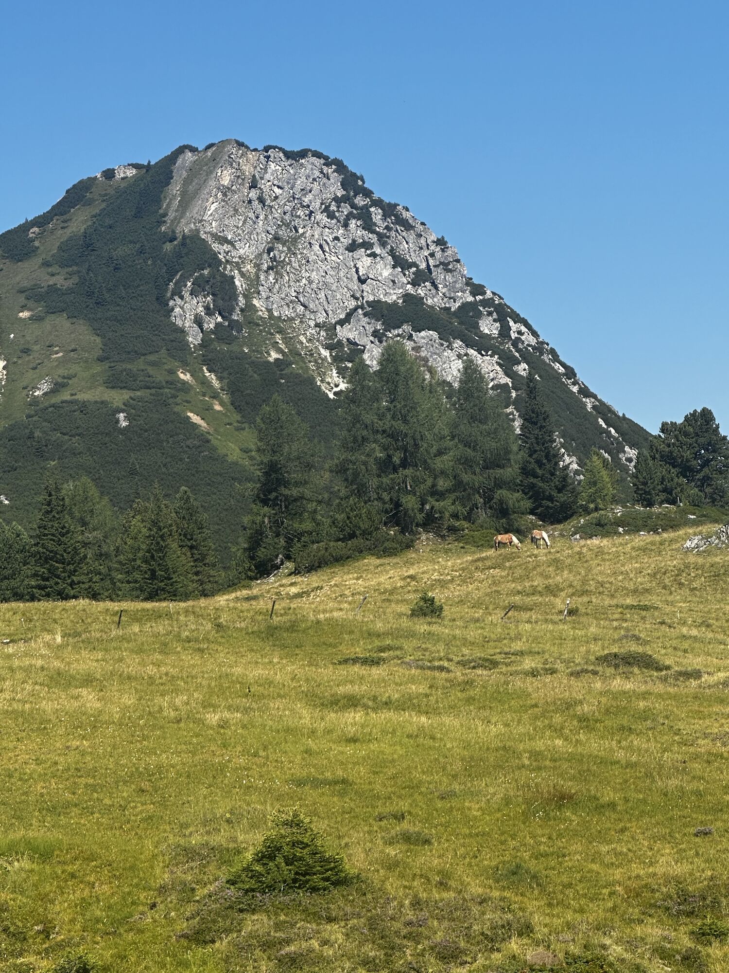
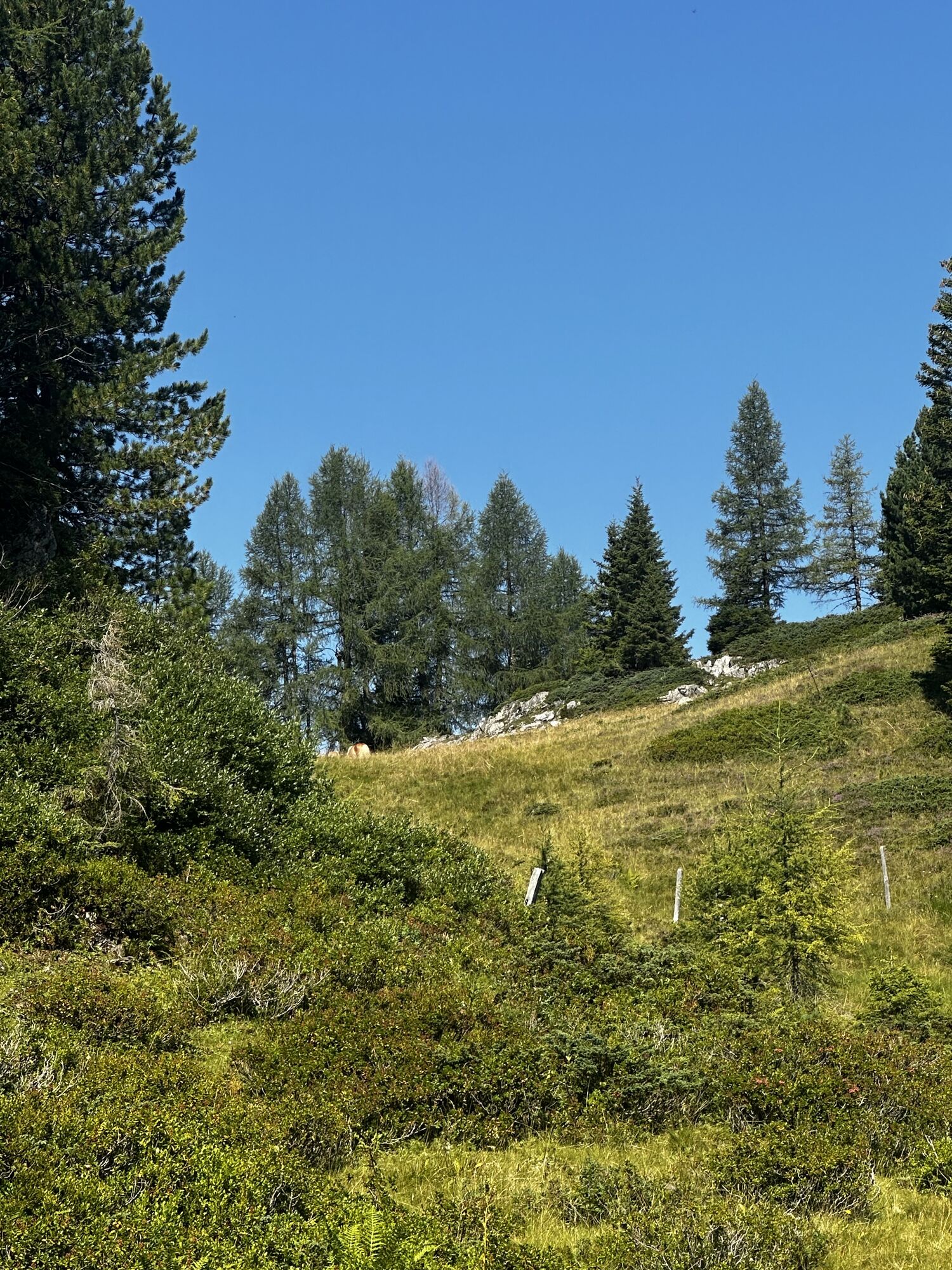
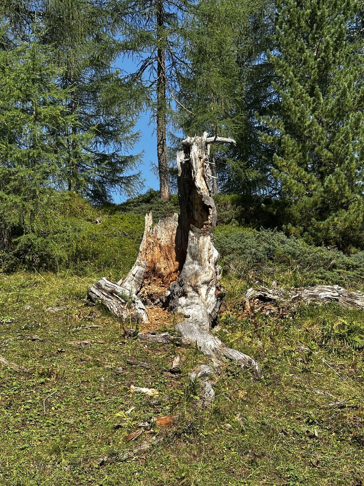
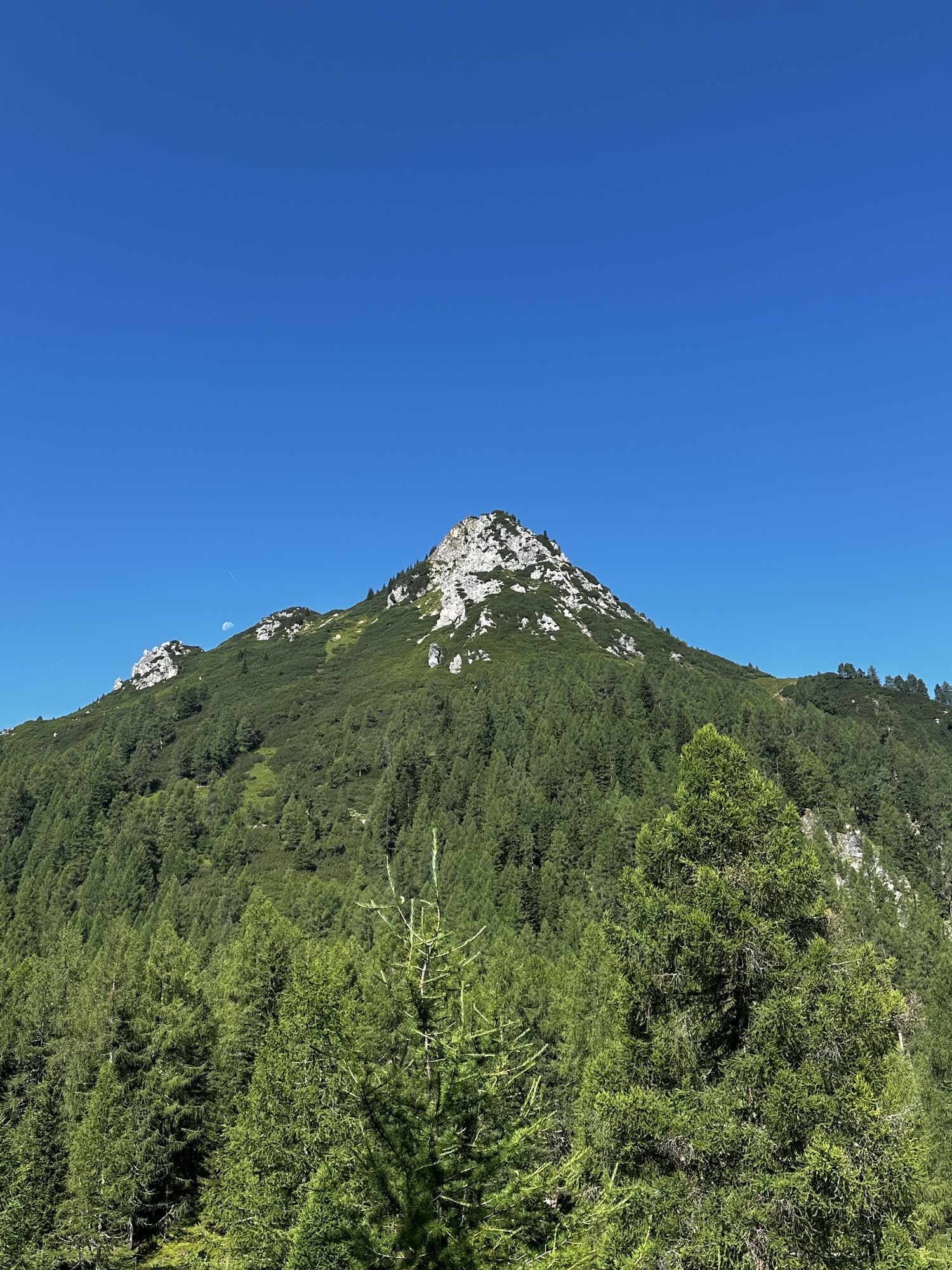
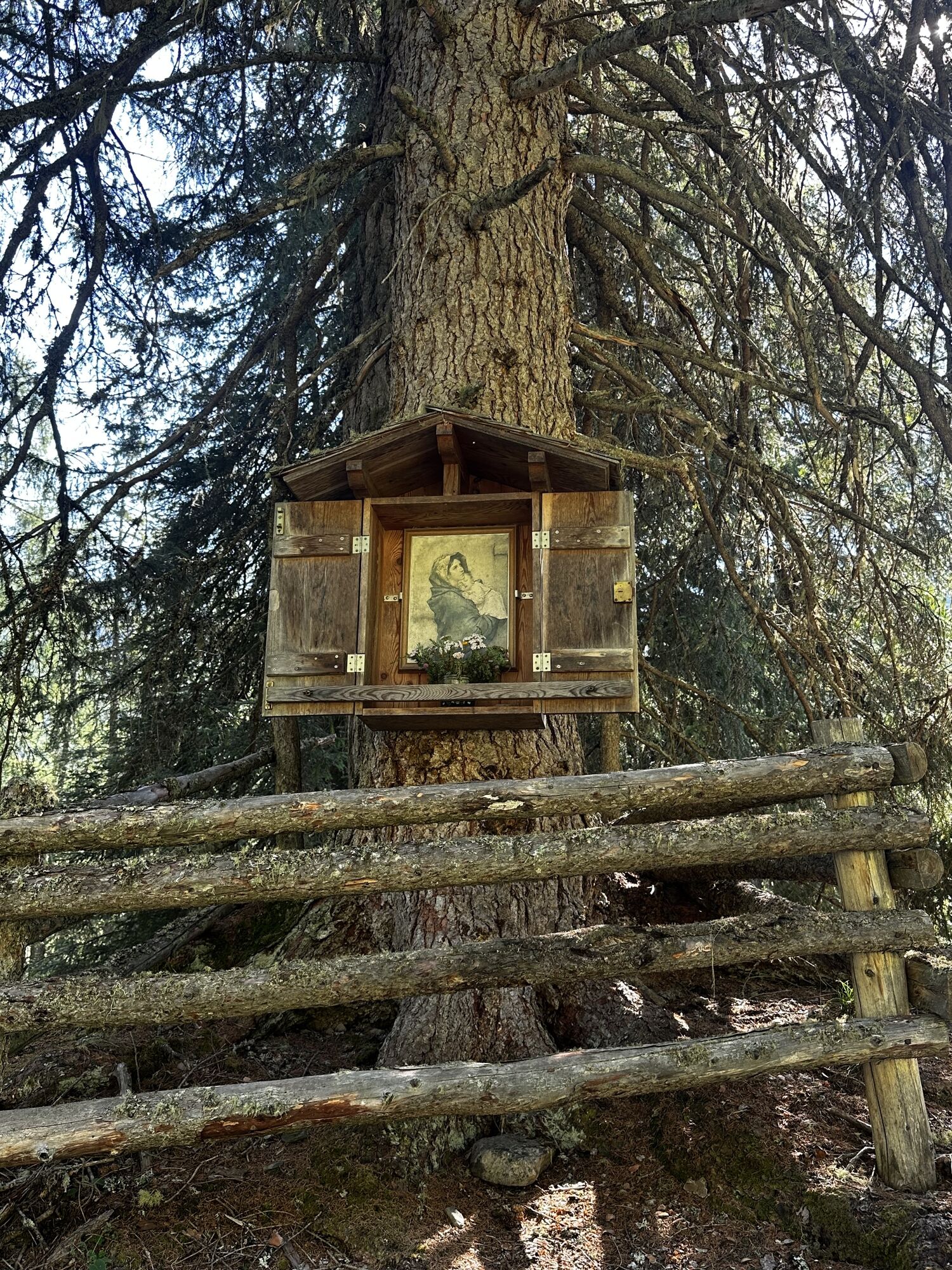
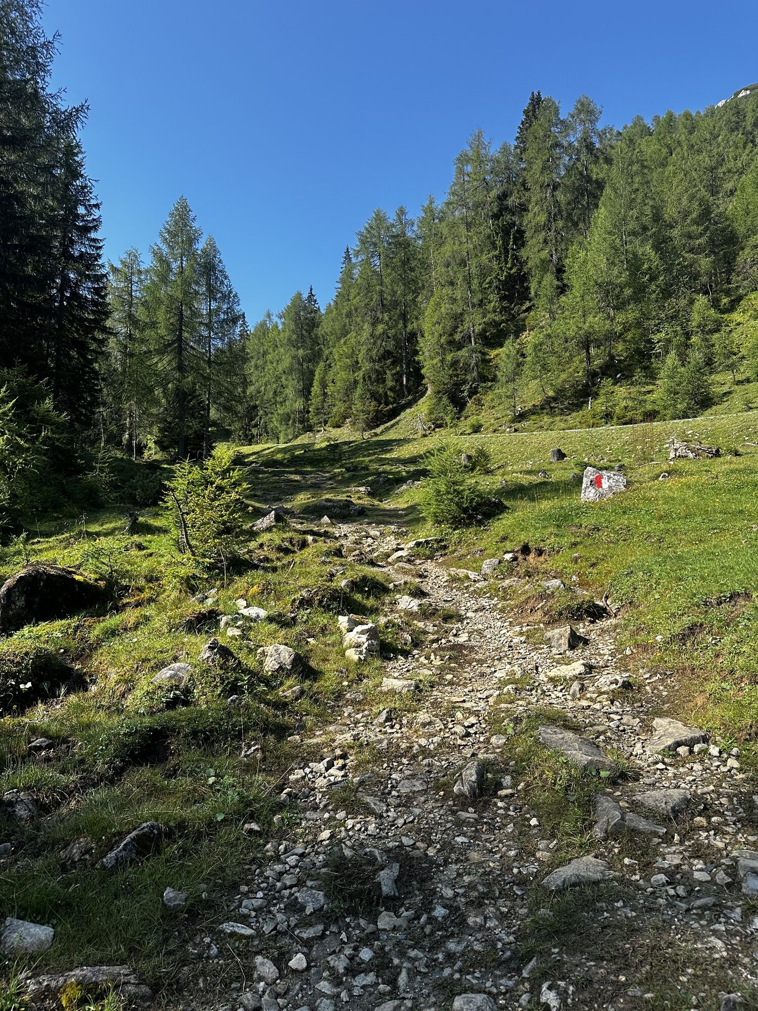
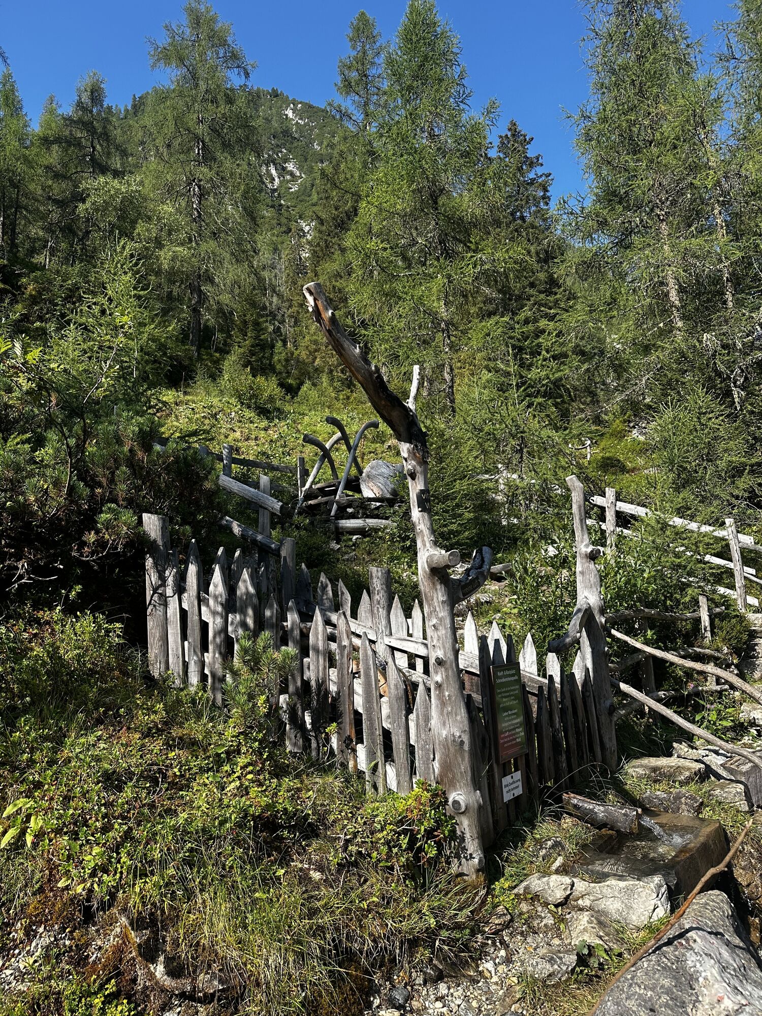
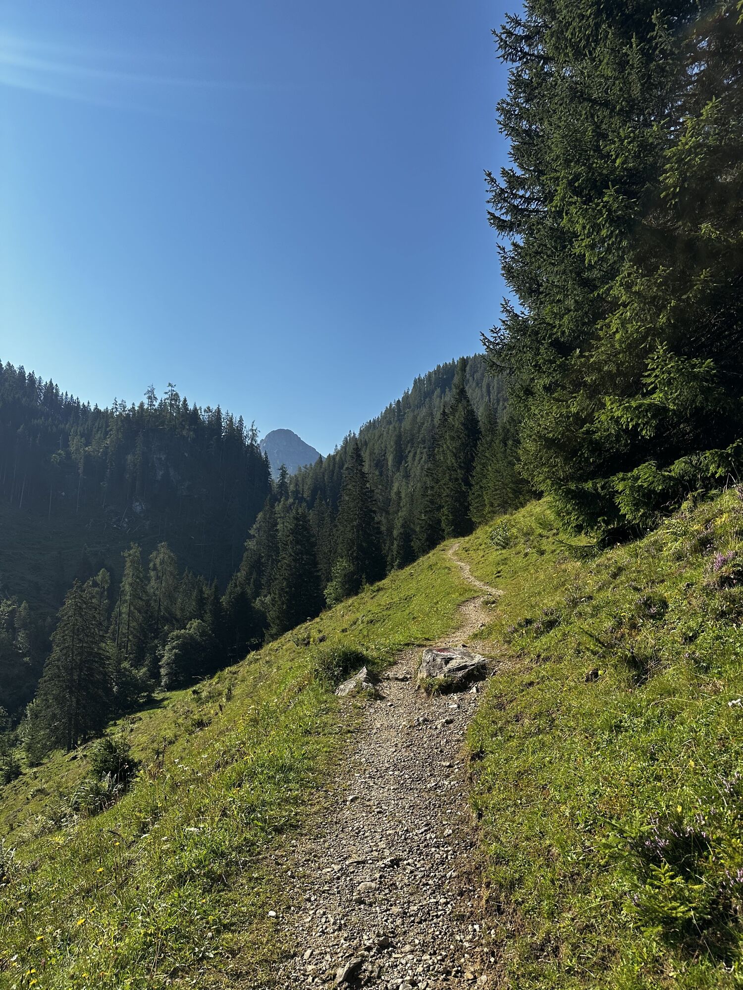
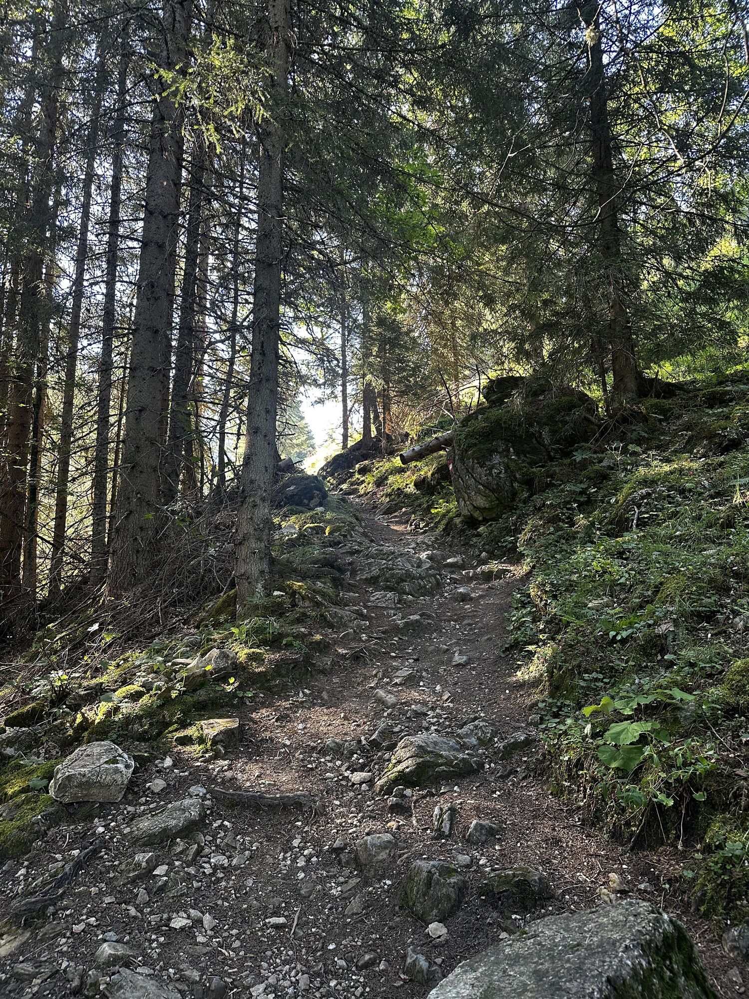
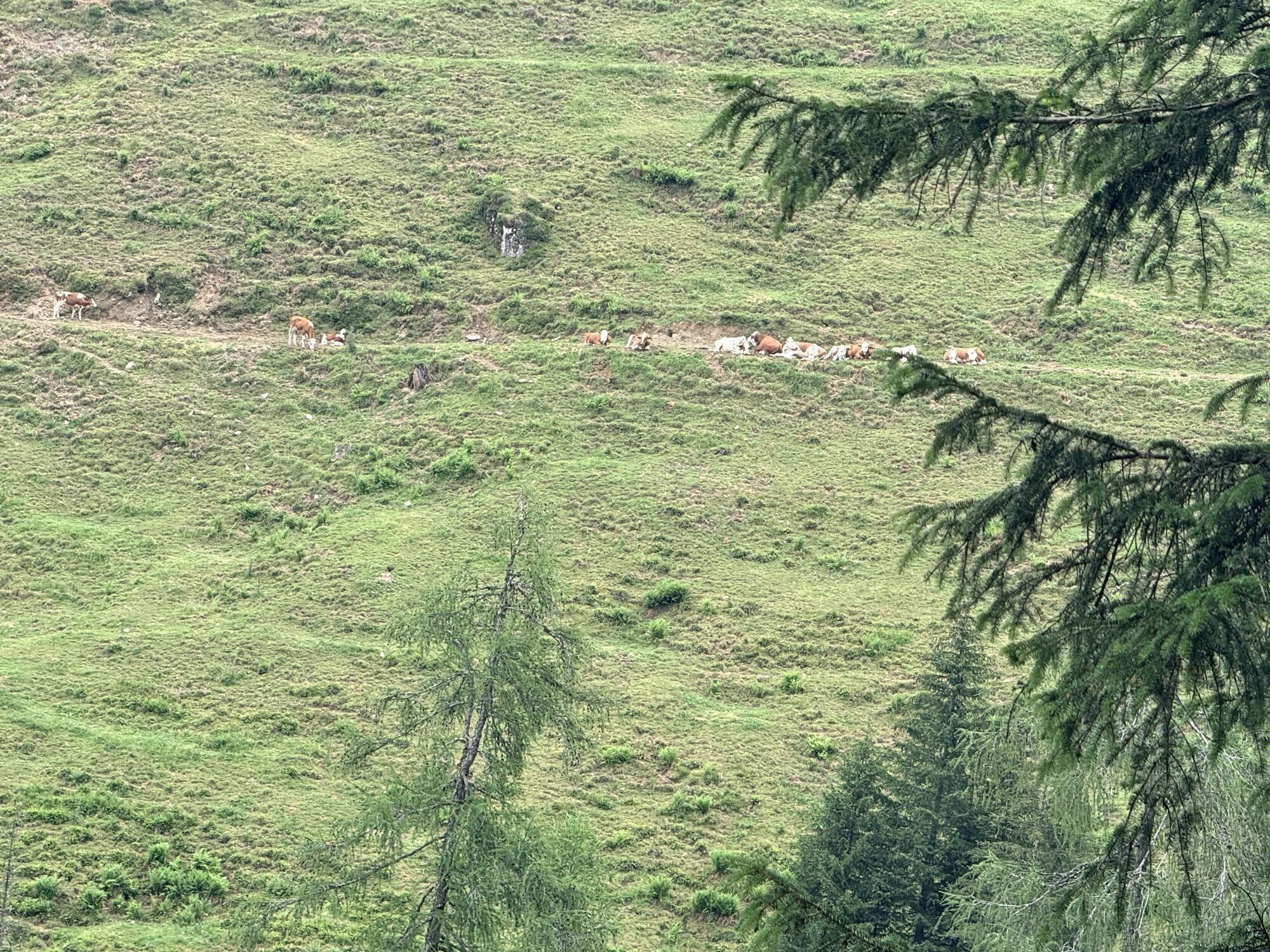
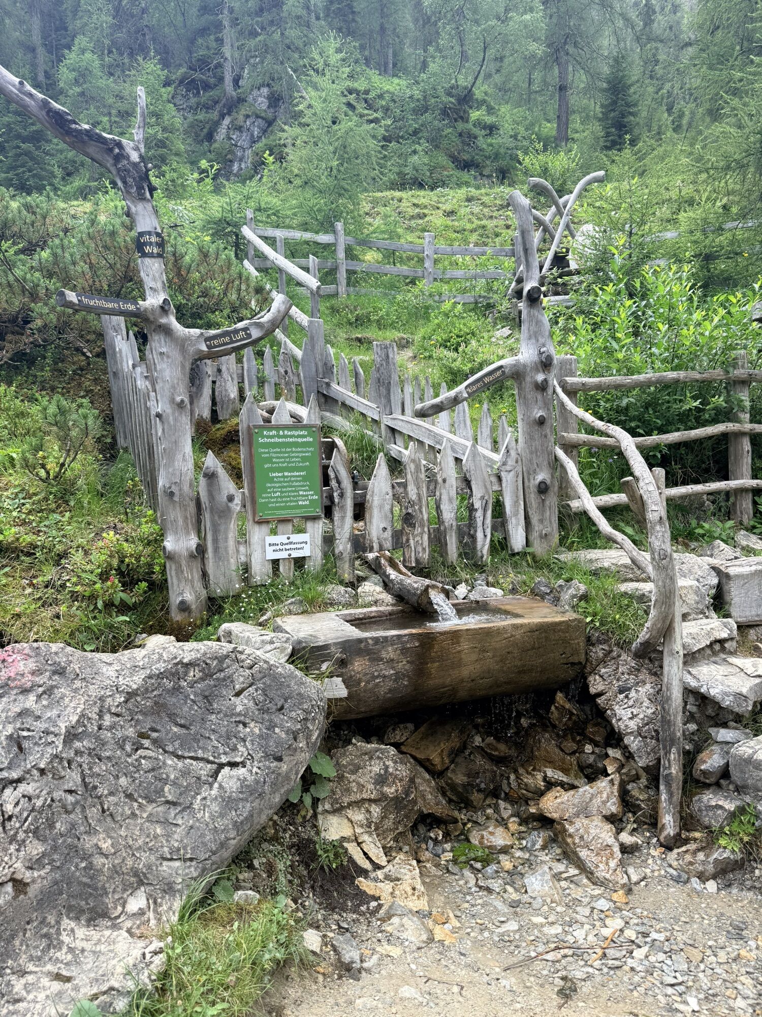
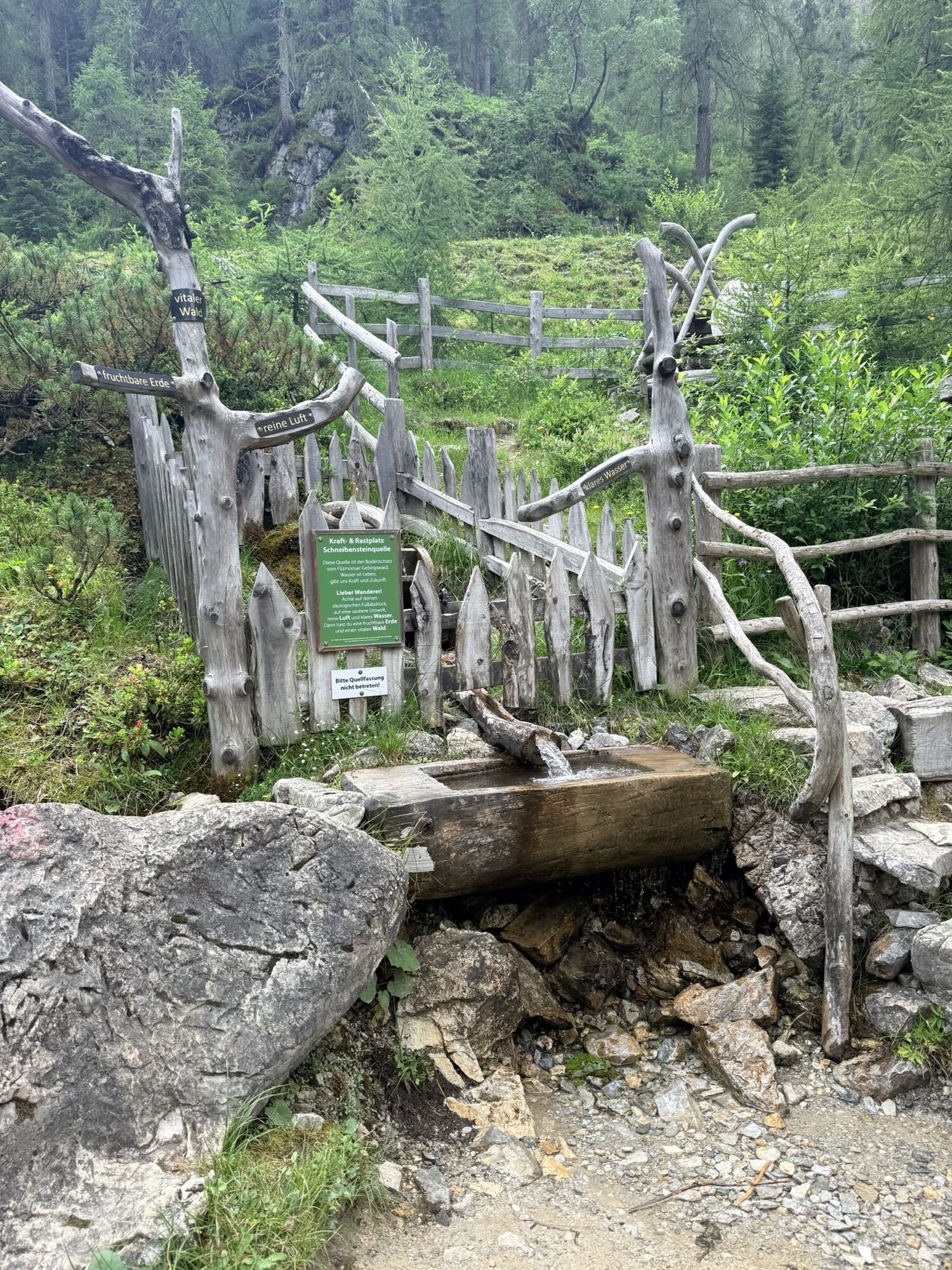
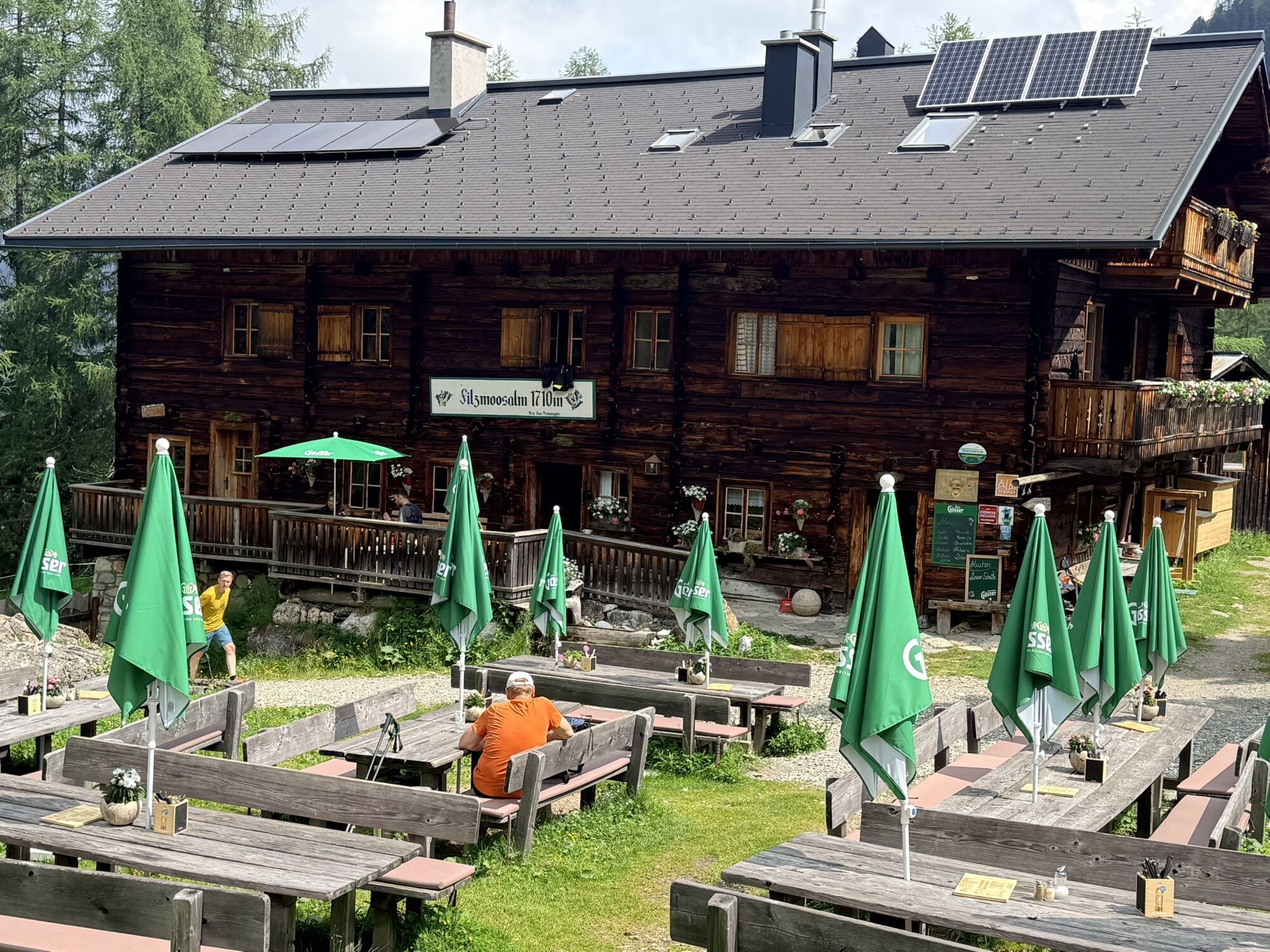
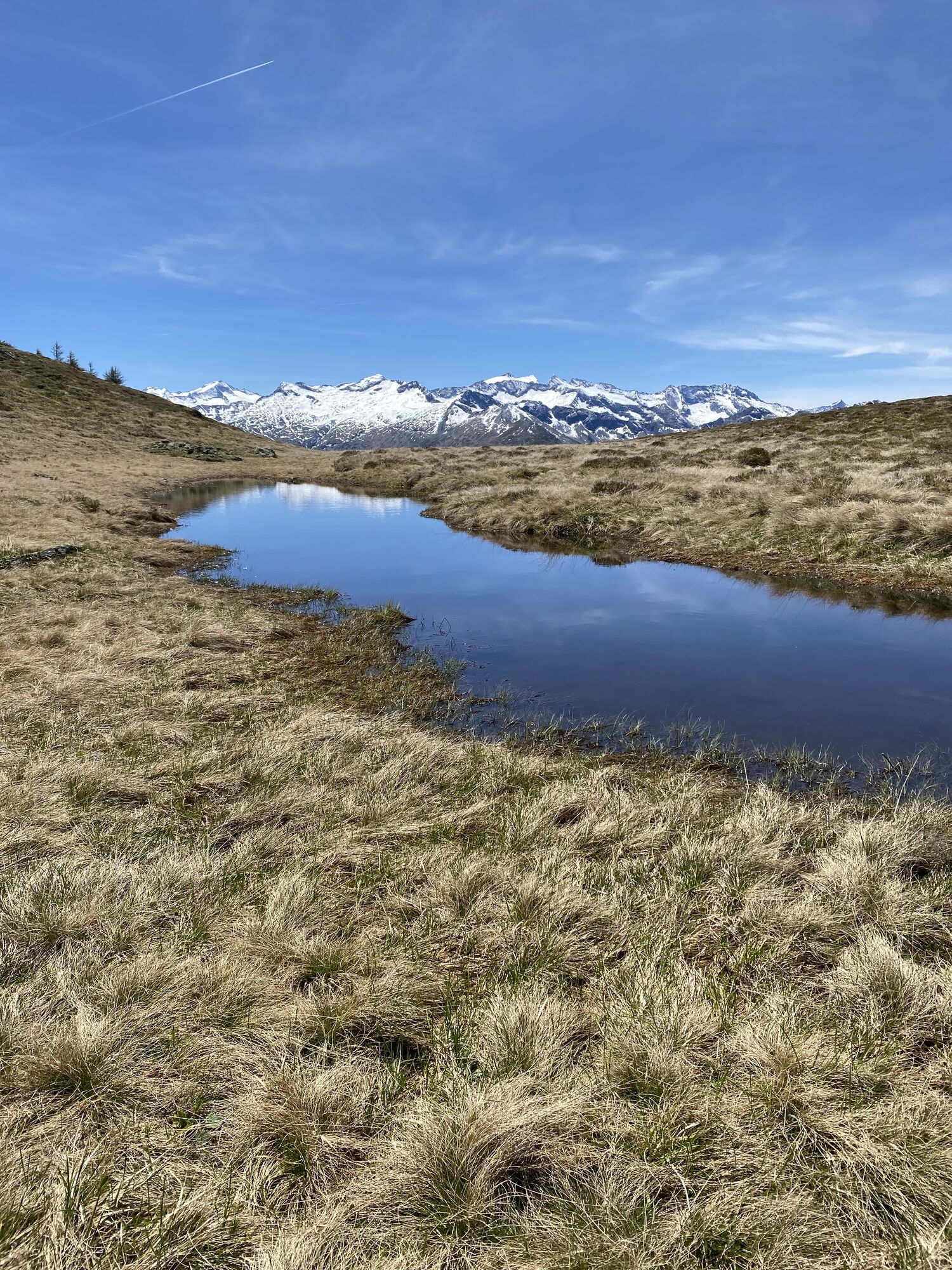
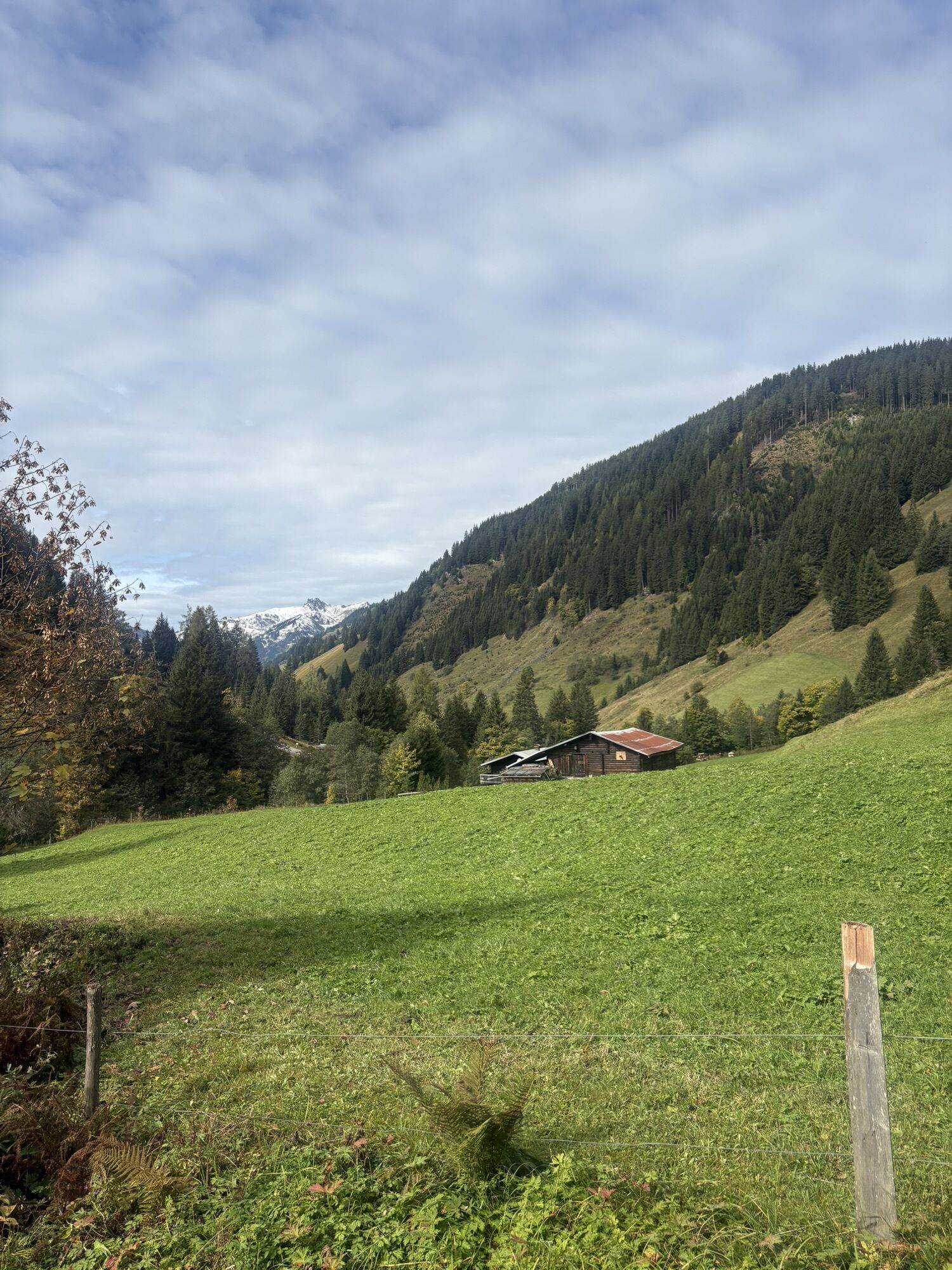
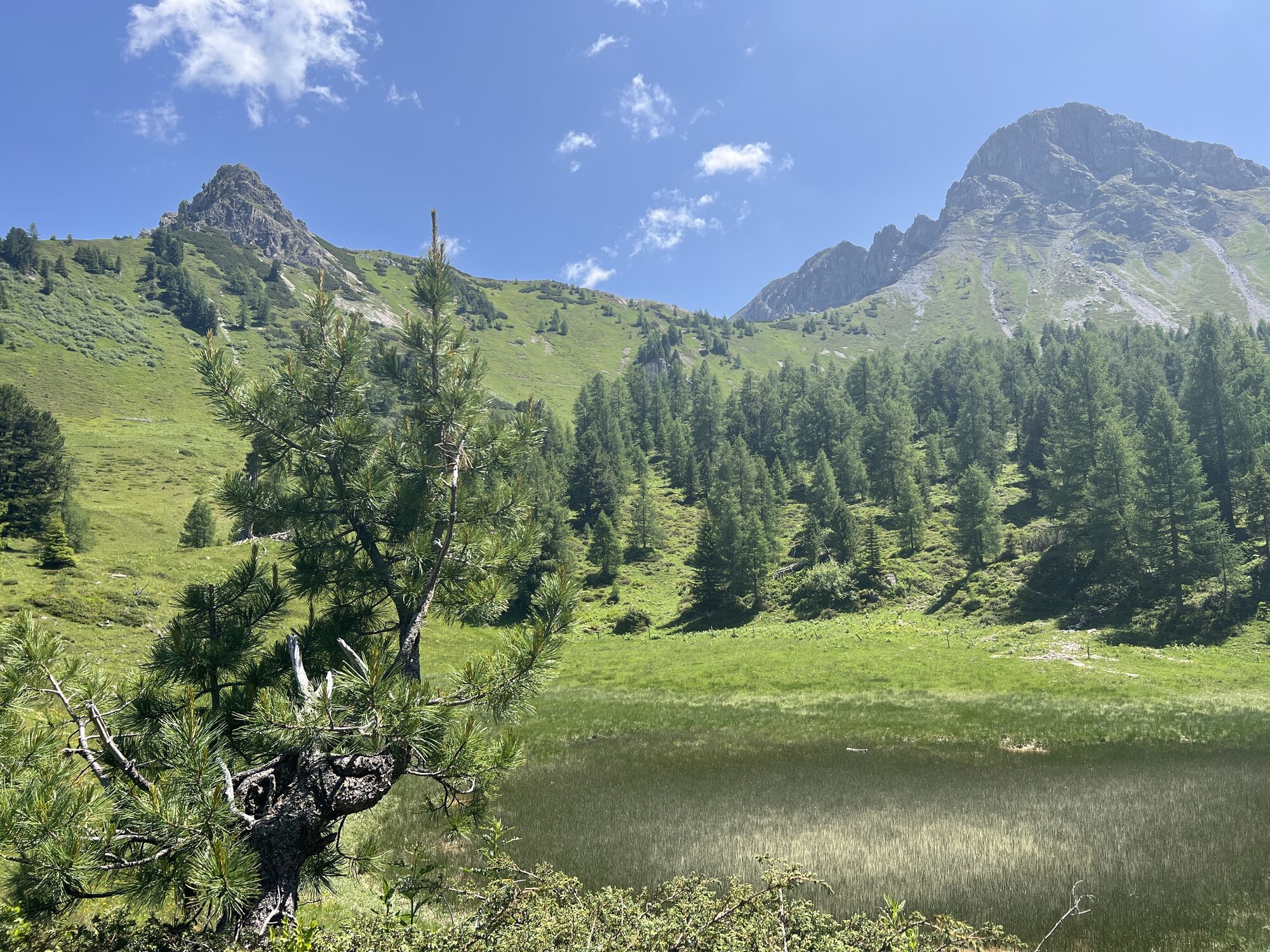


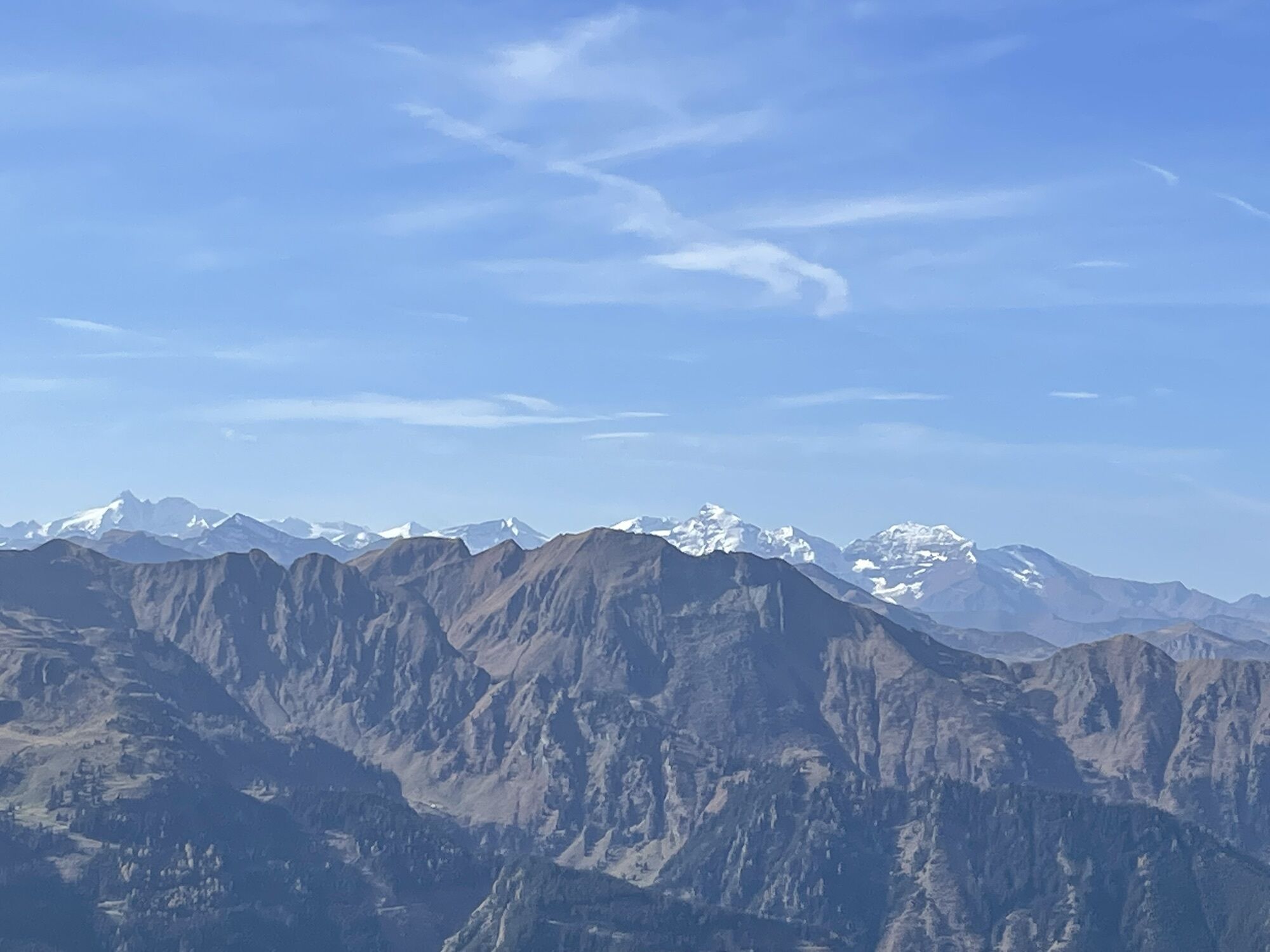
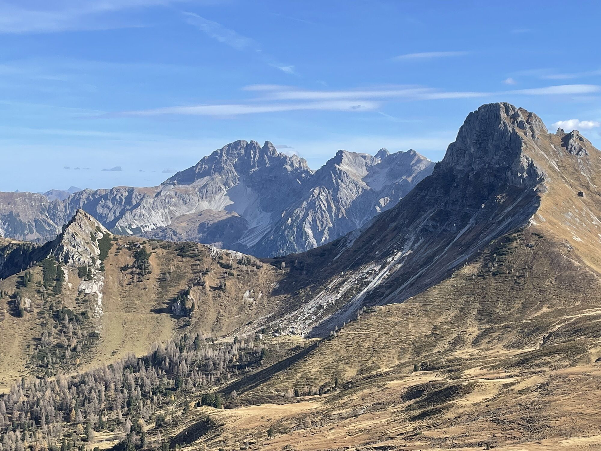
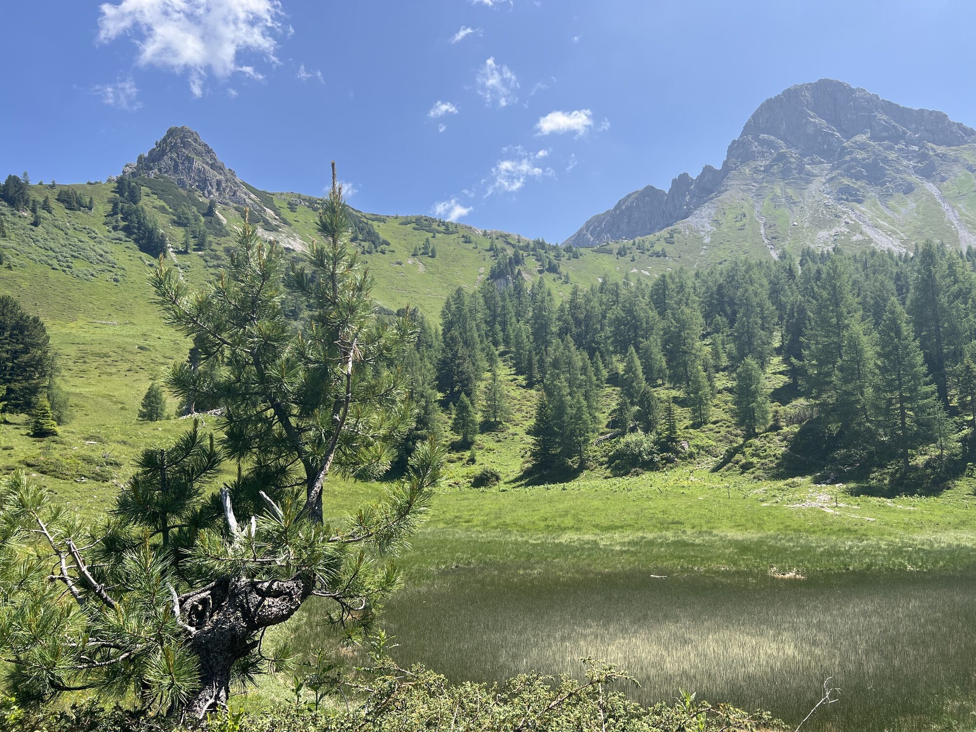
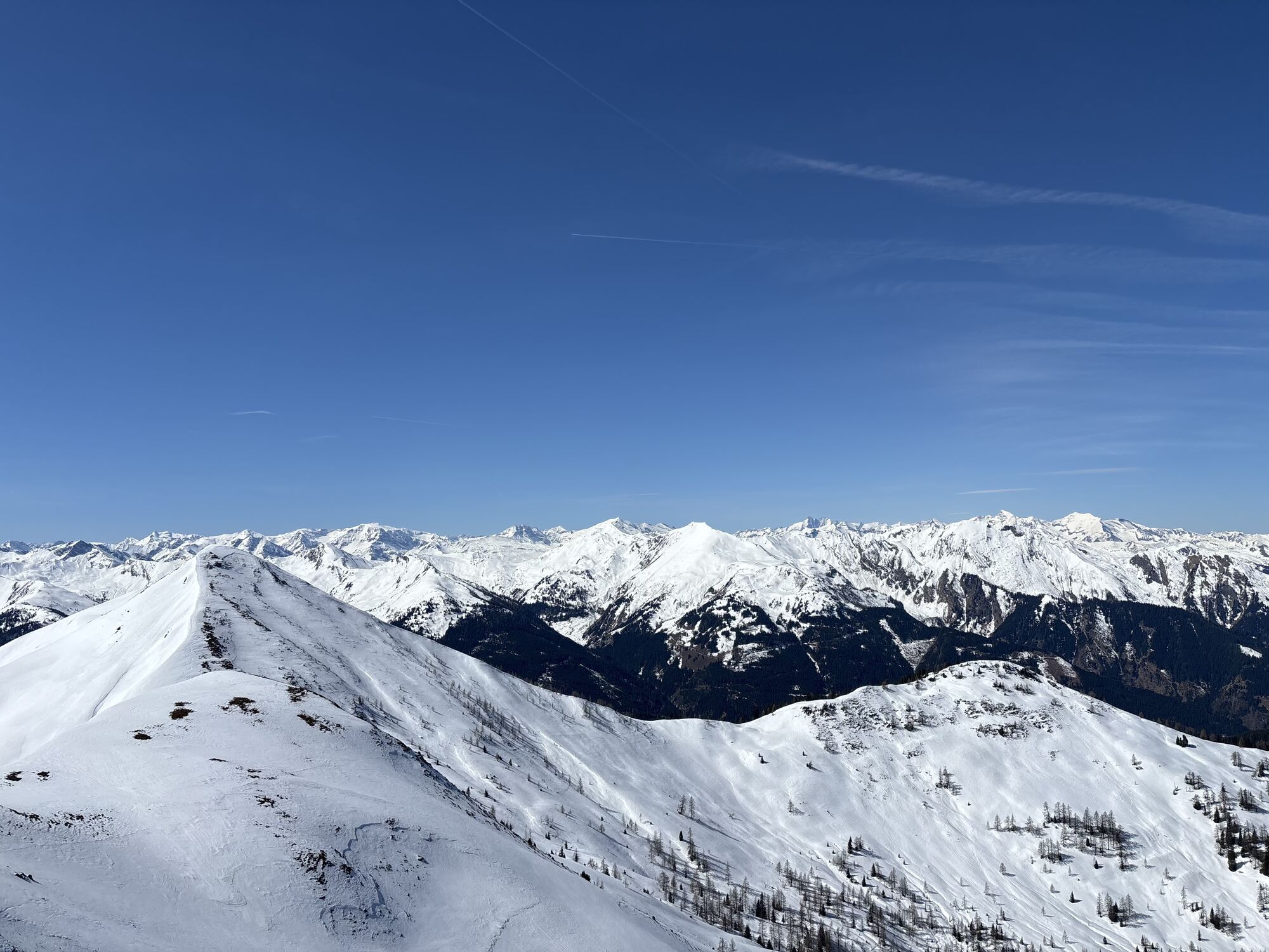
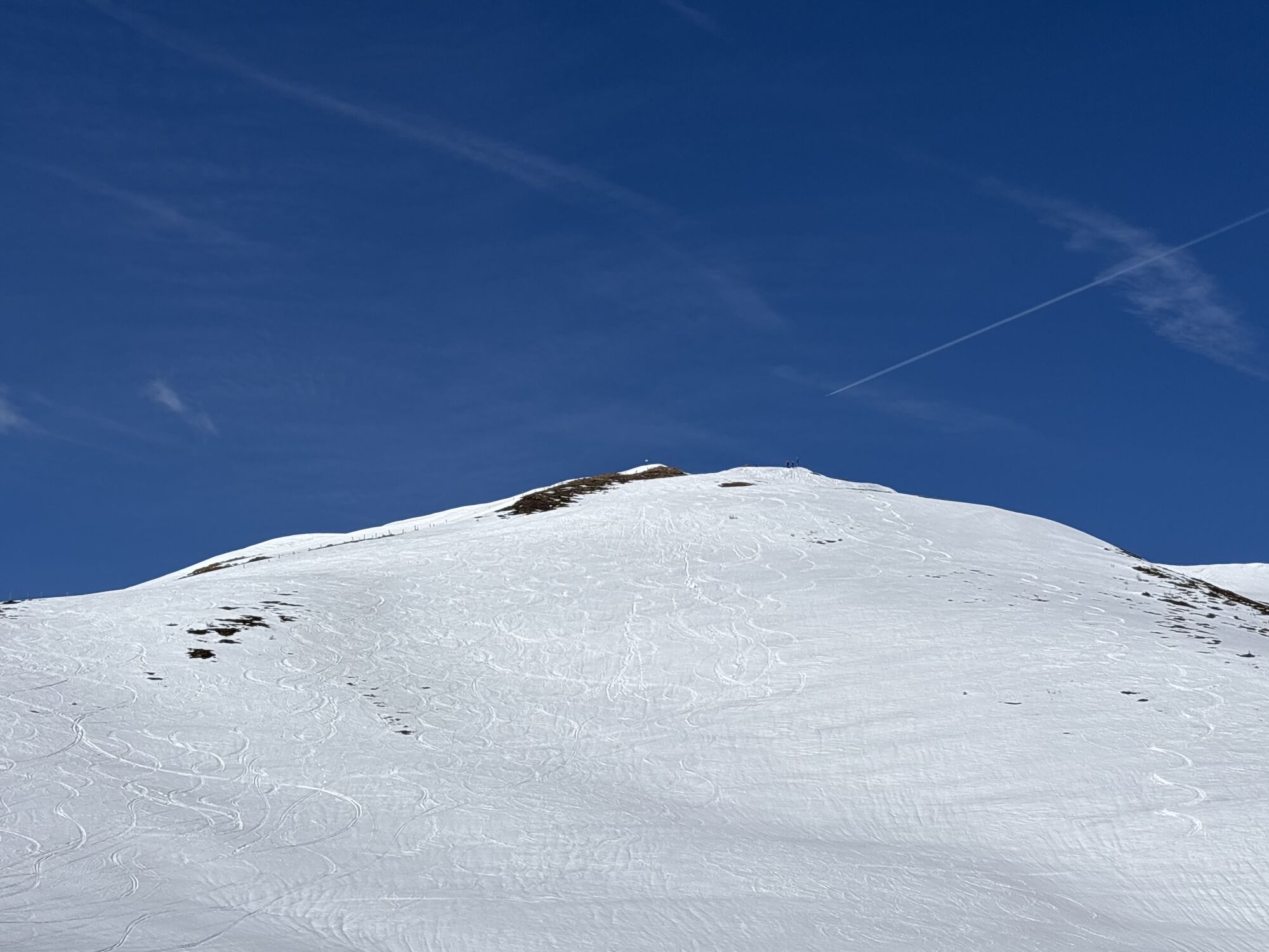
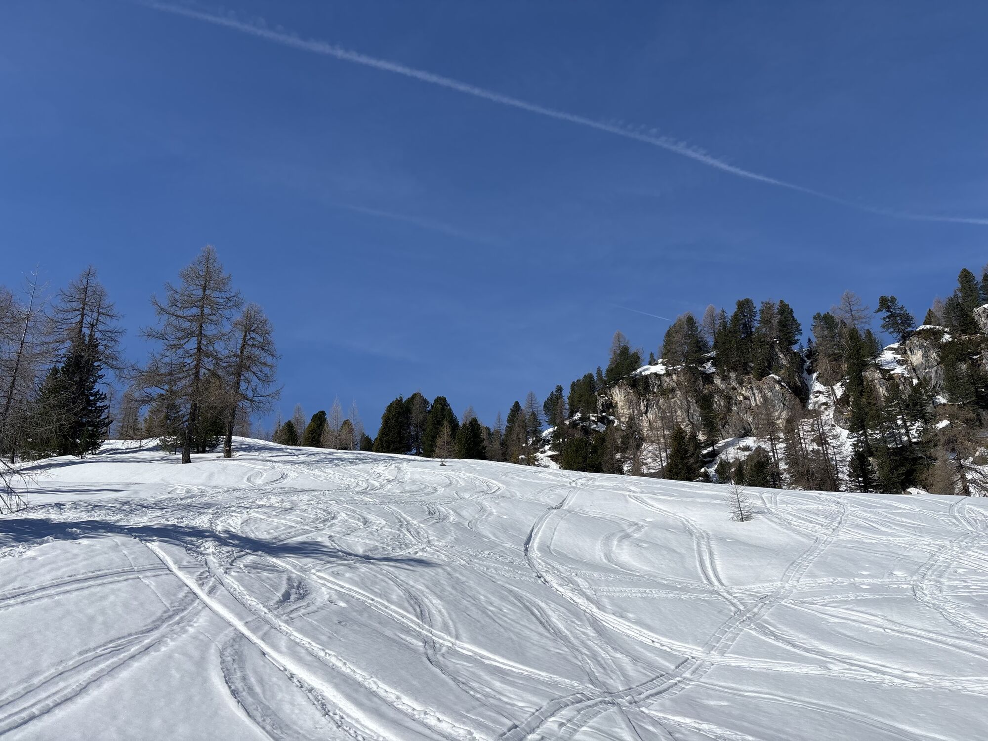
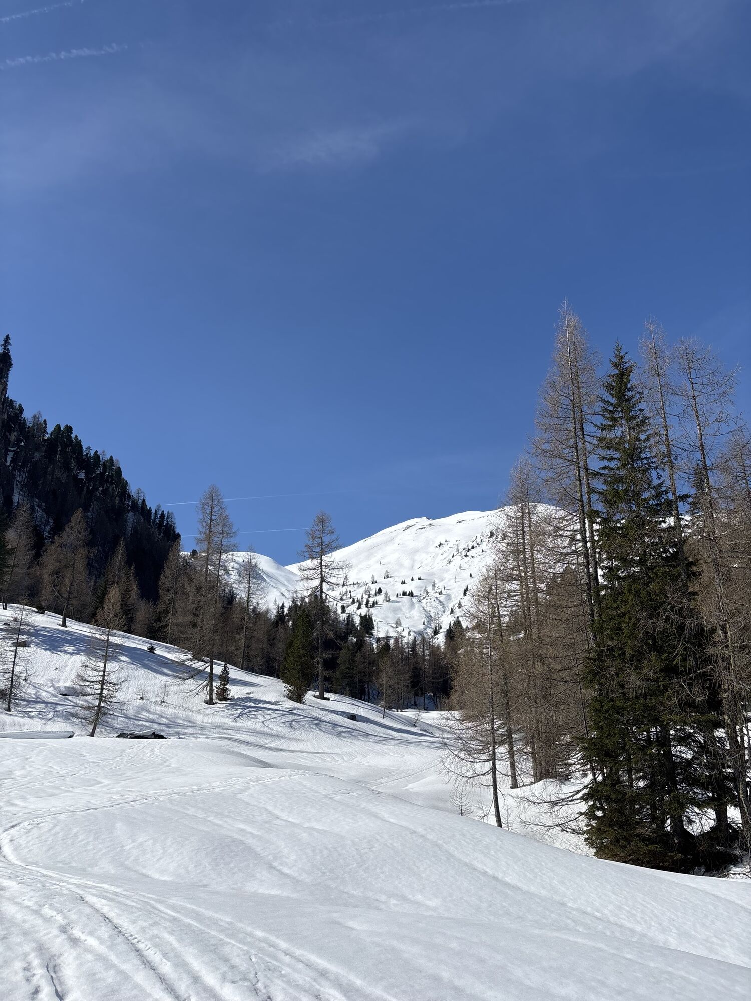
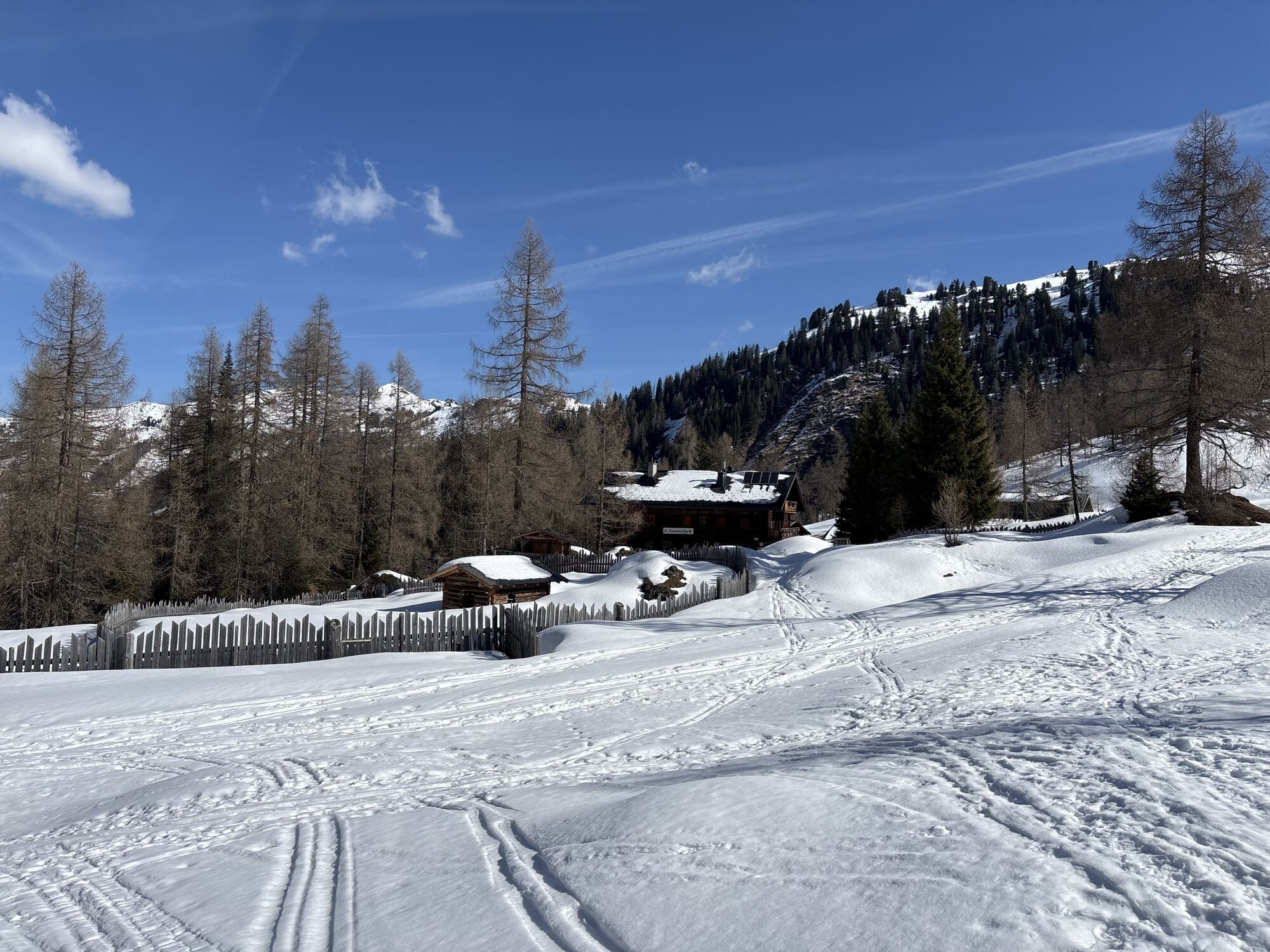
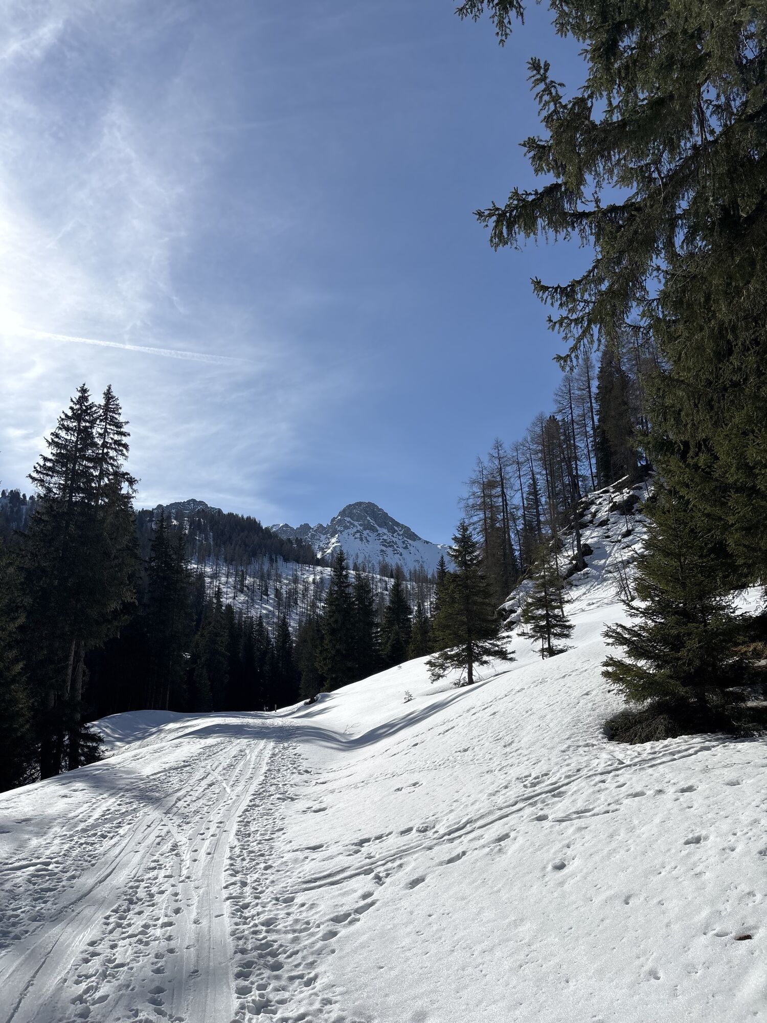
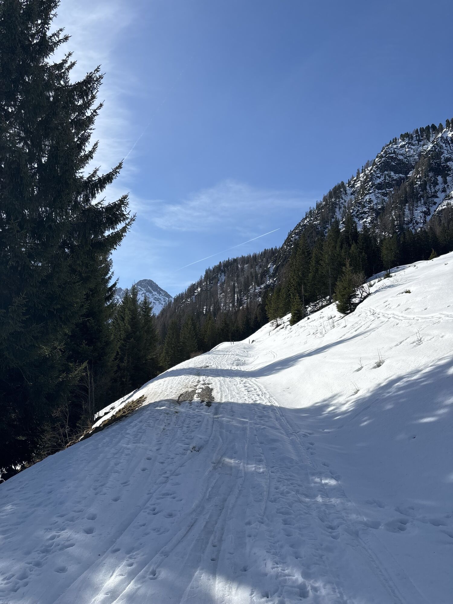
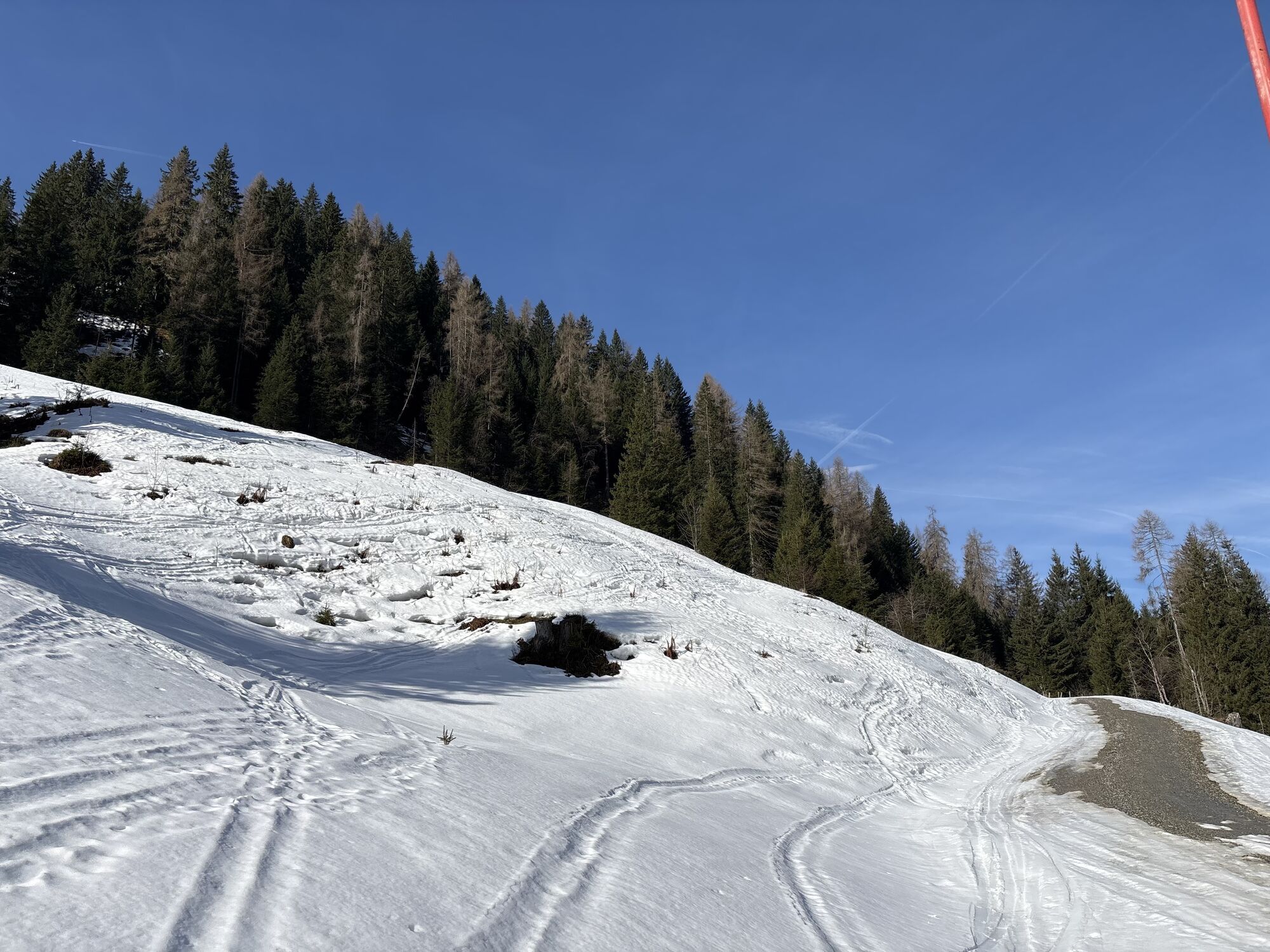
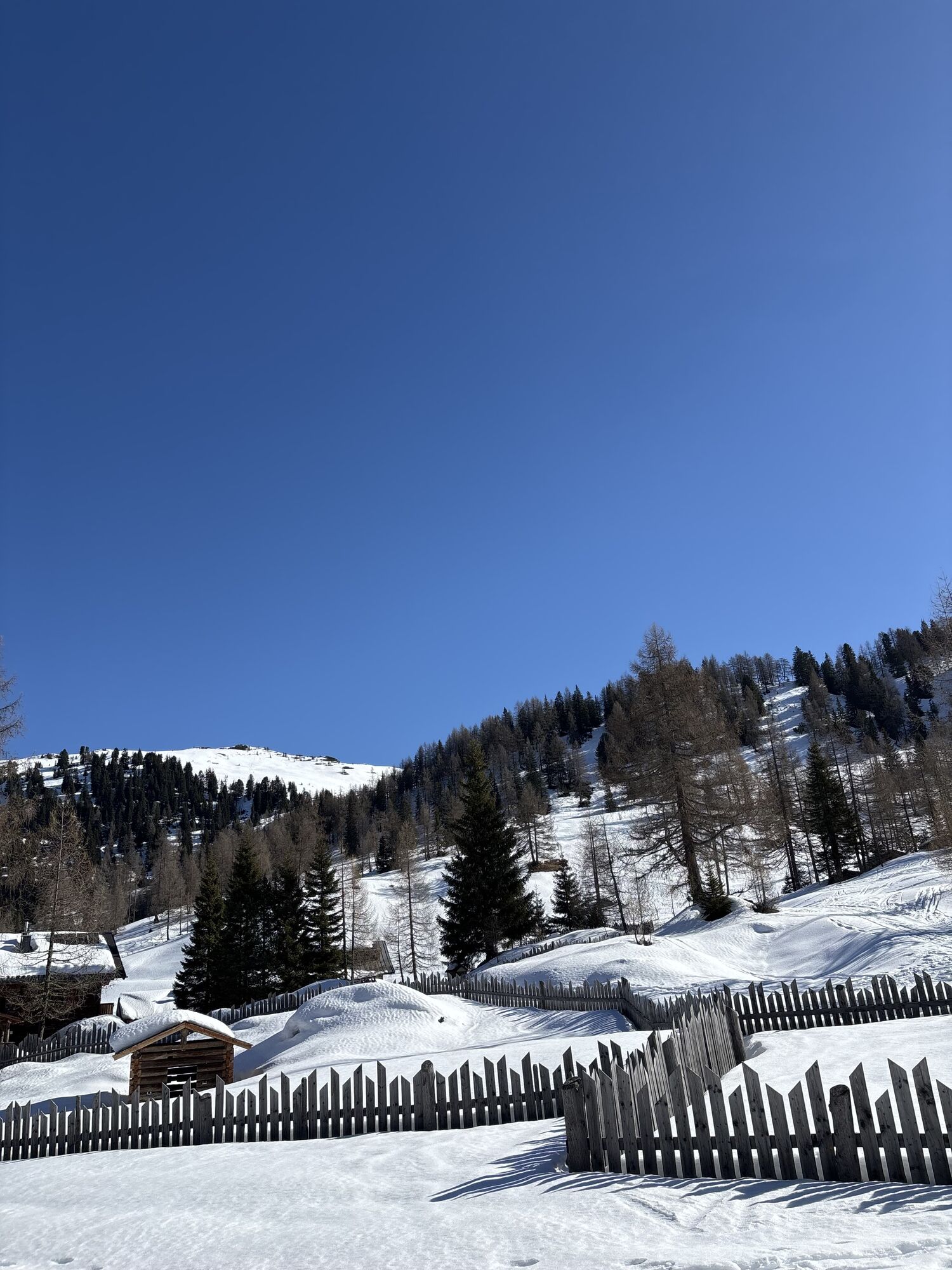
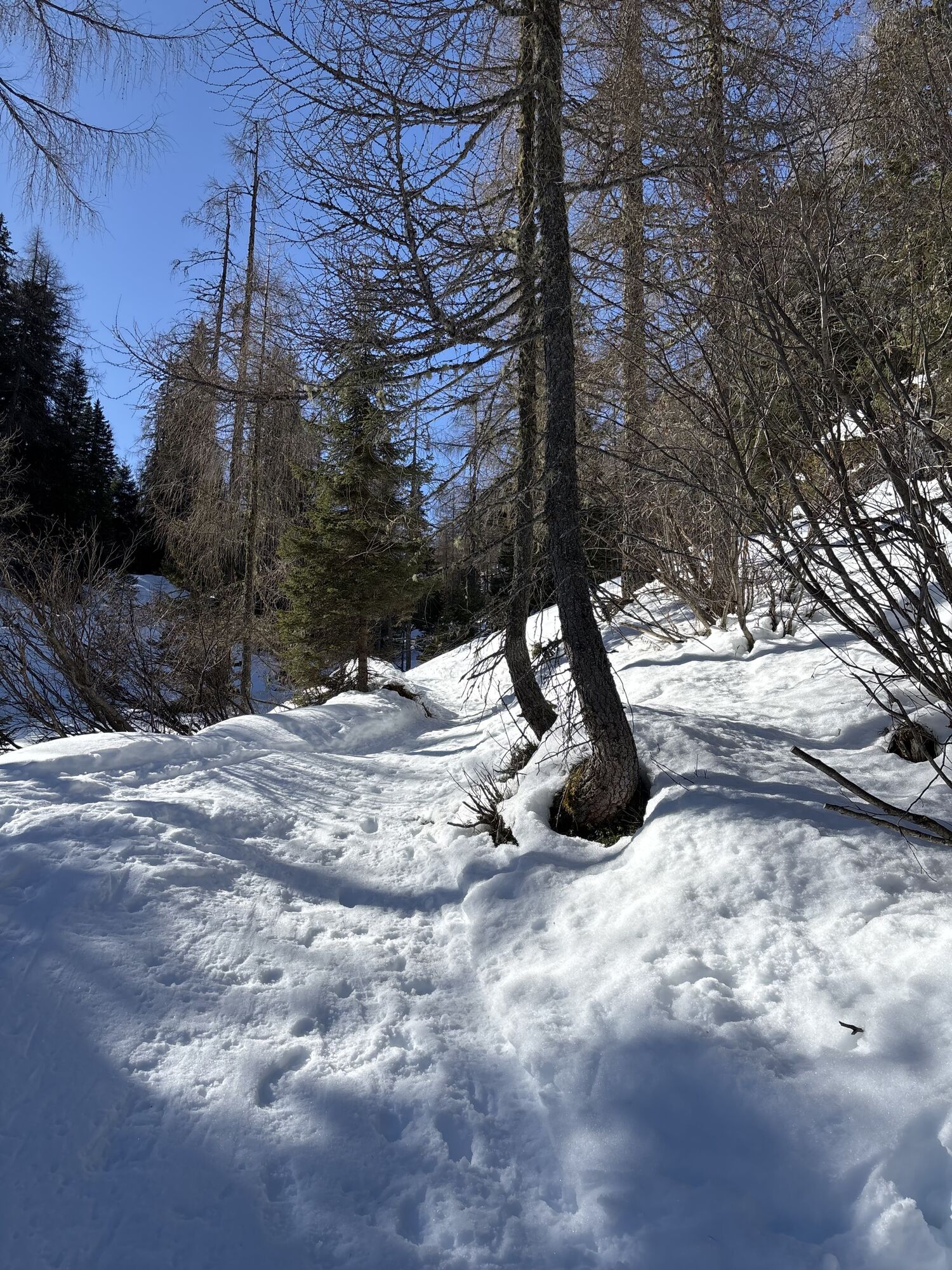
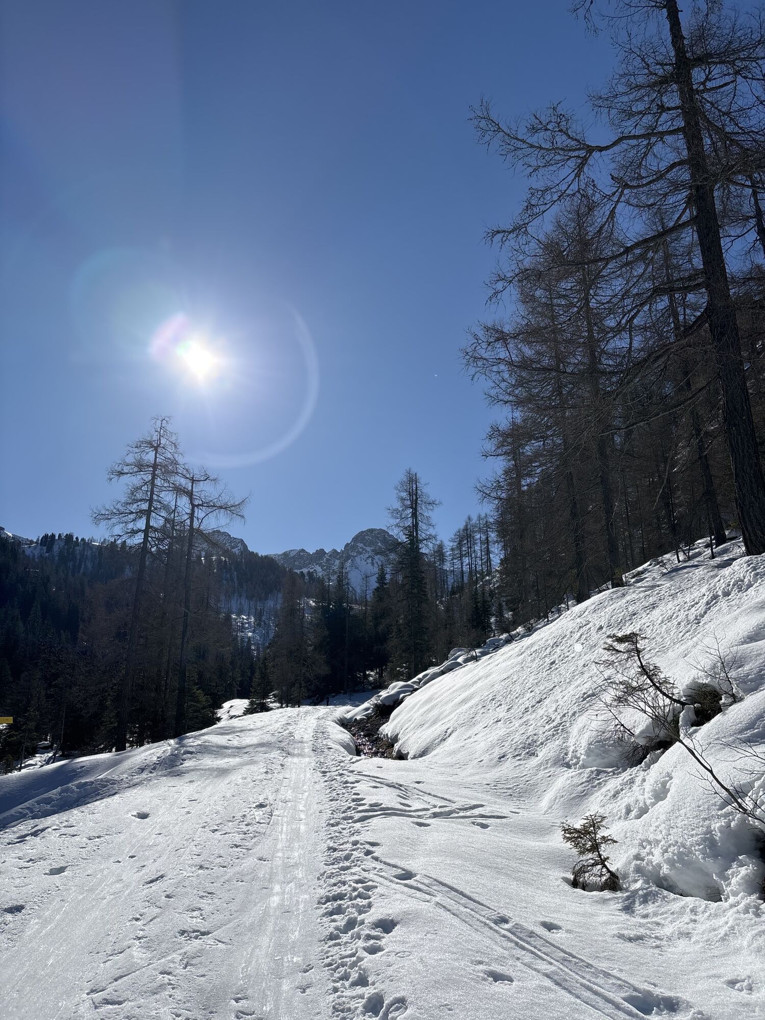
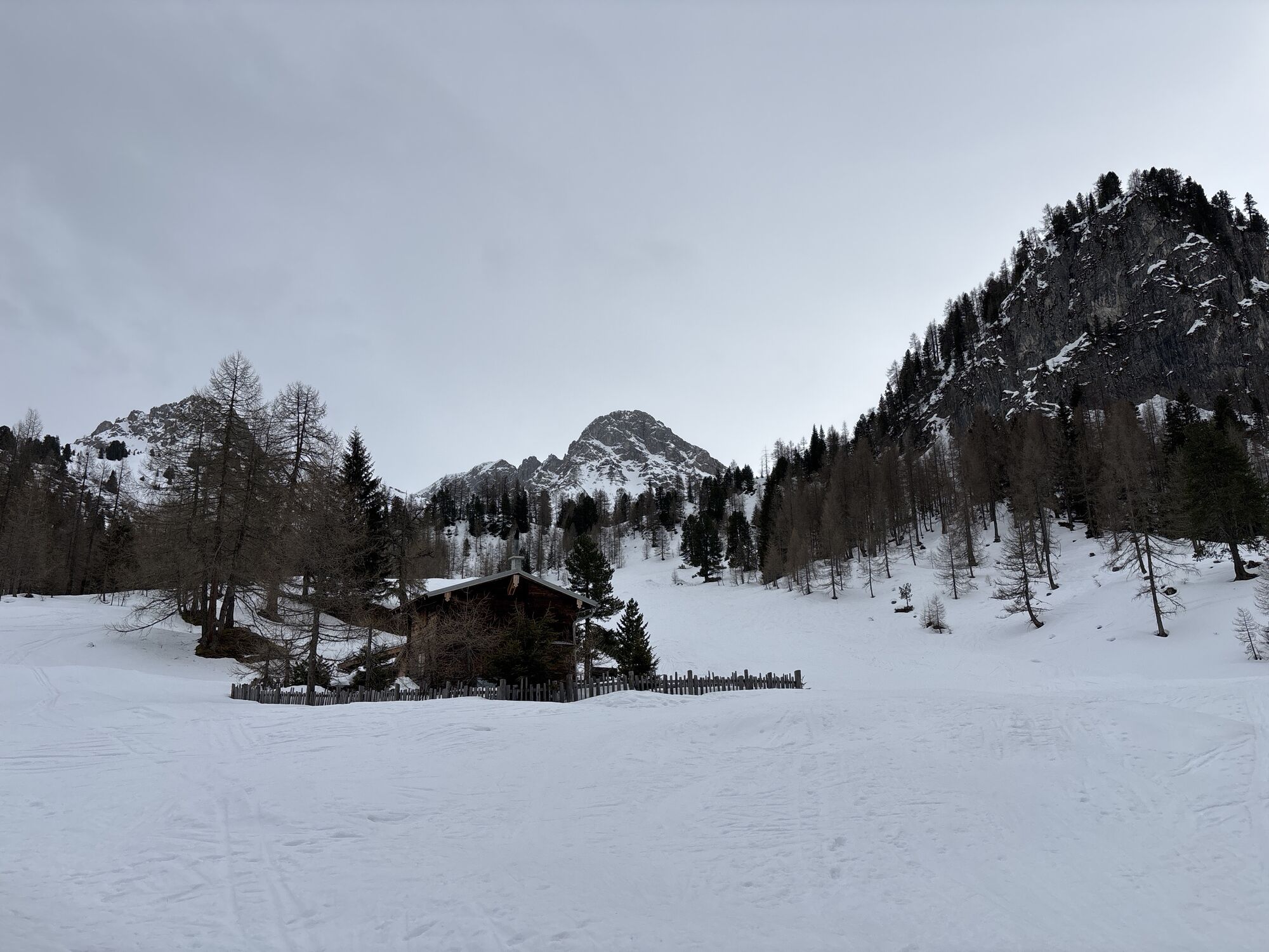
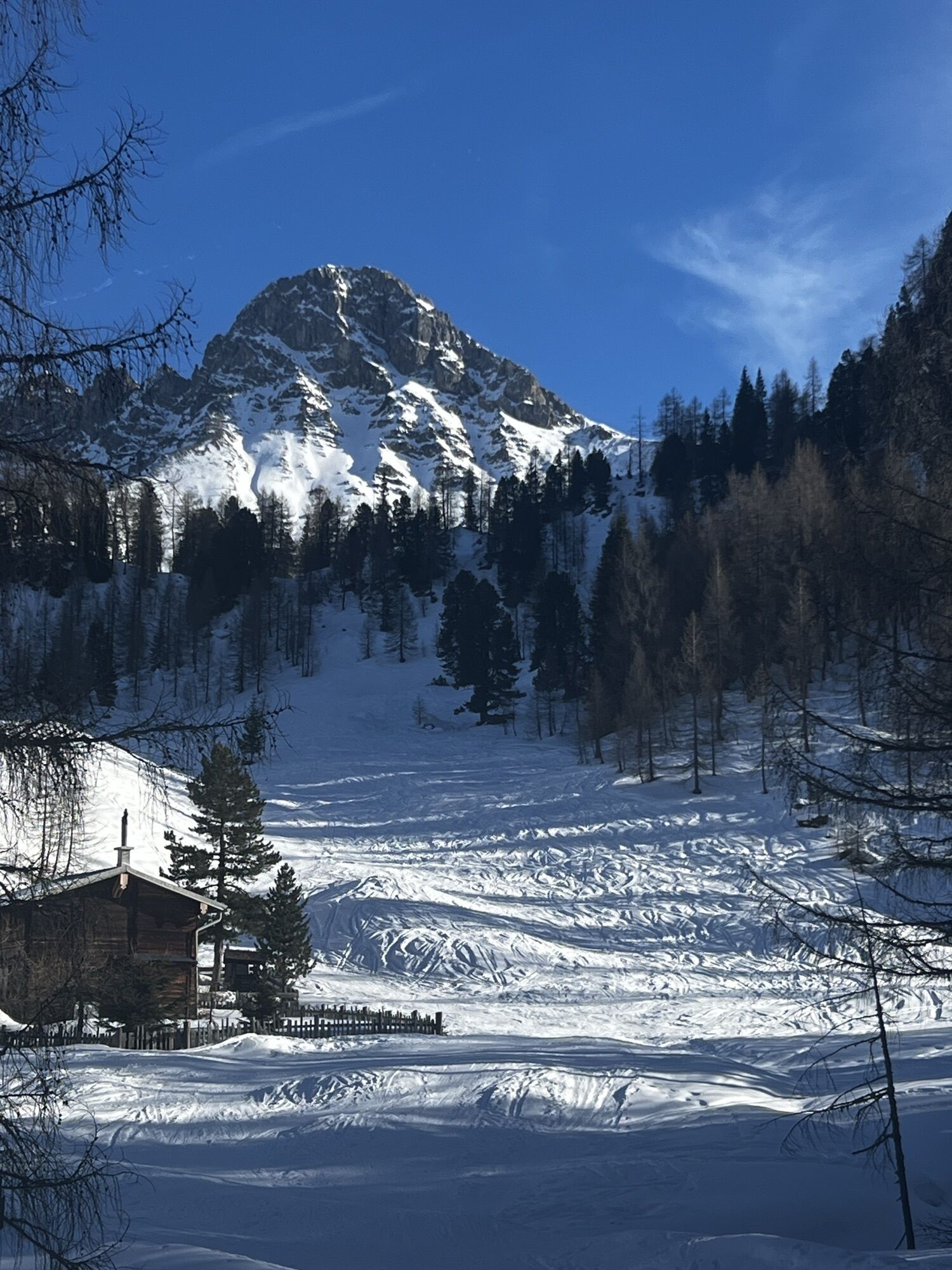
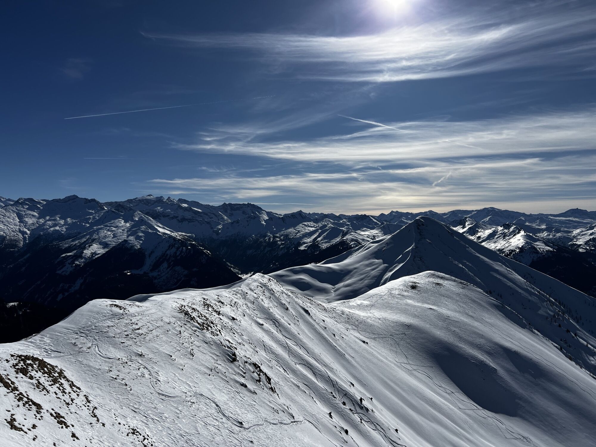
This beautiful hike starts in the Ellmautal at the Grundlehen car park. A traditional mountain trail leads through the forest to the Filzmoosalm. From there, the route continues across wide alpine meadows...
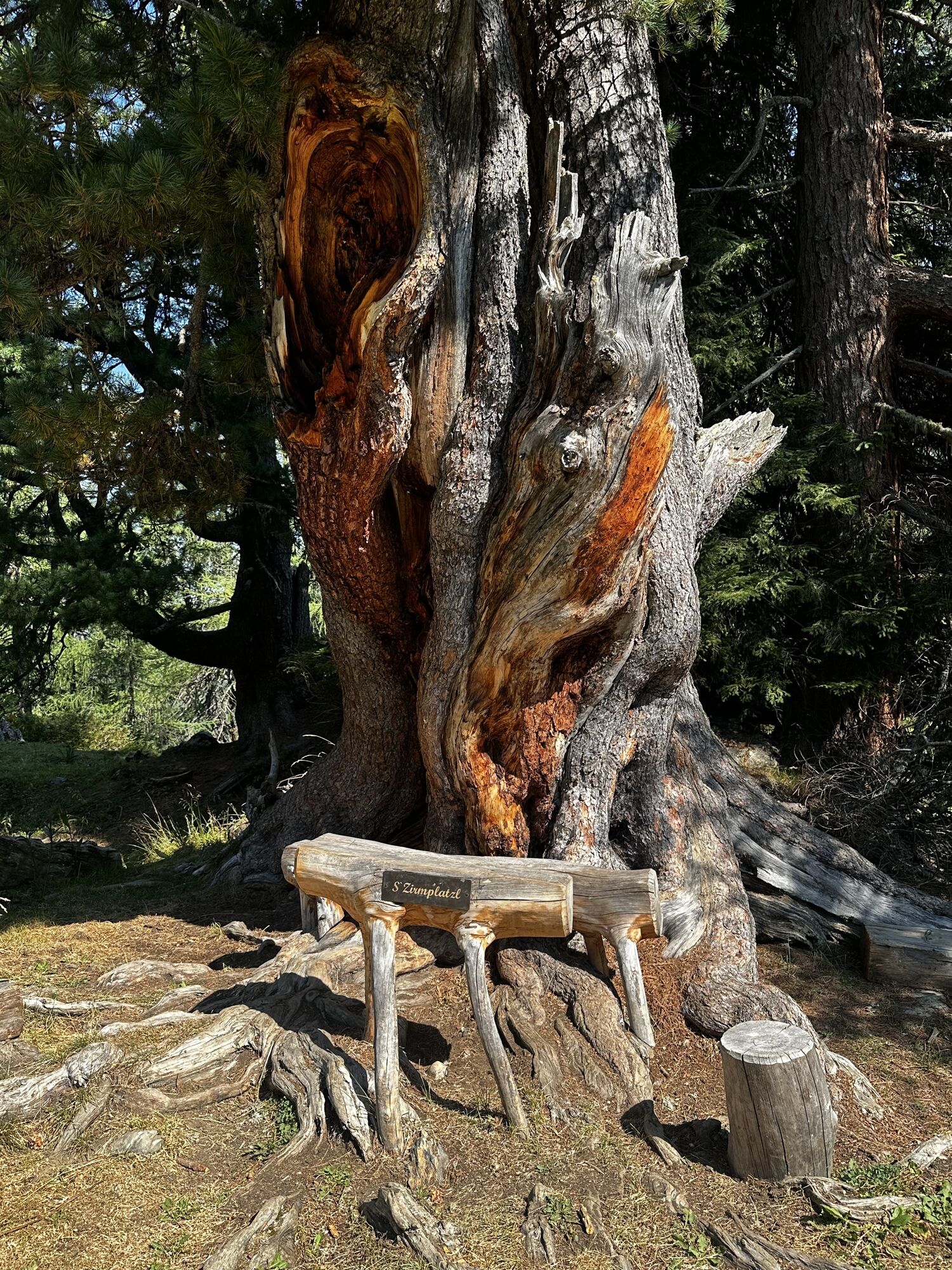
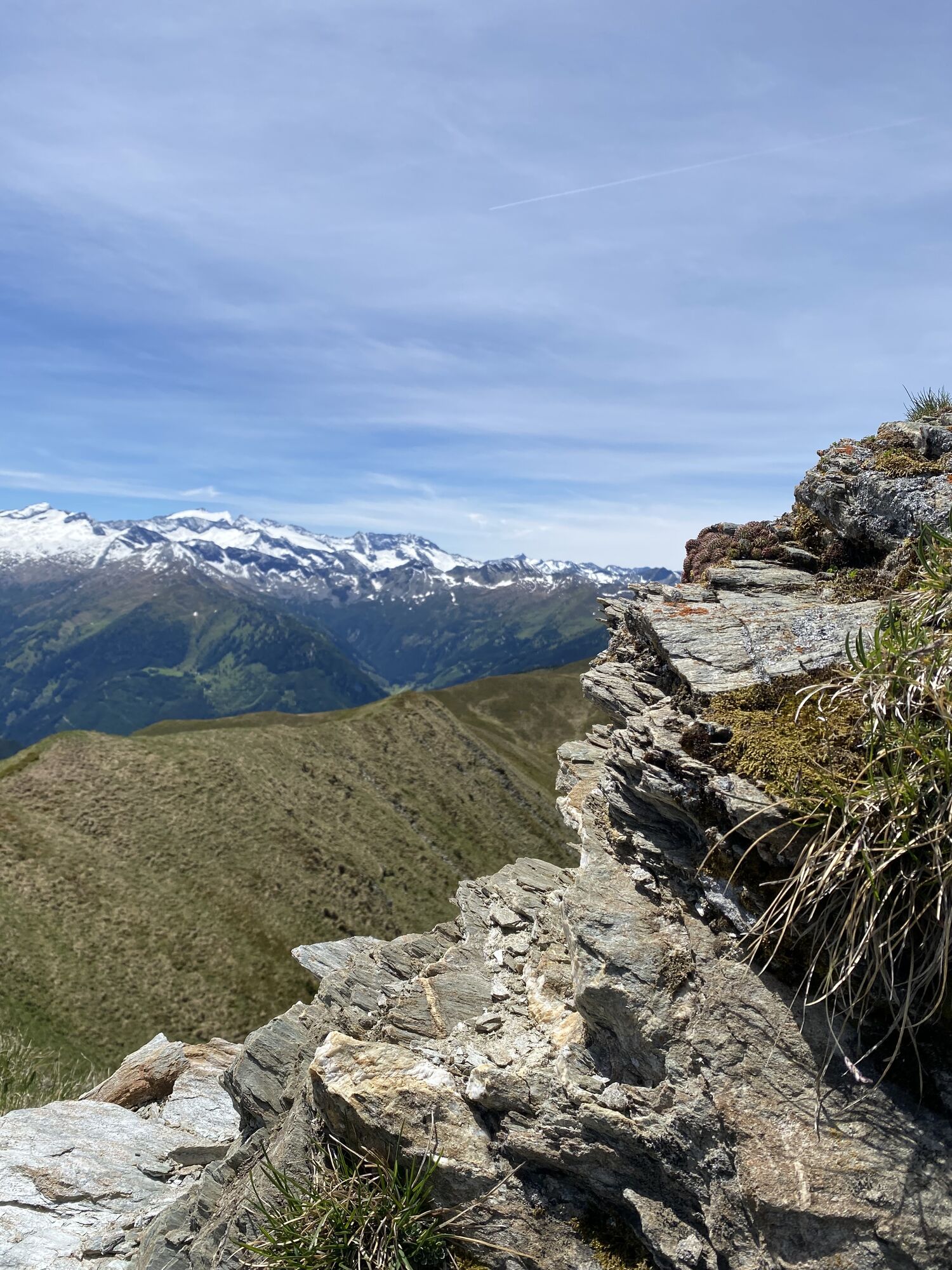
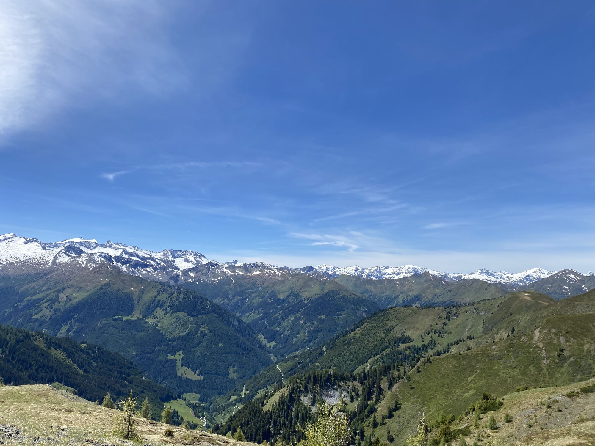
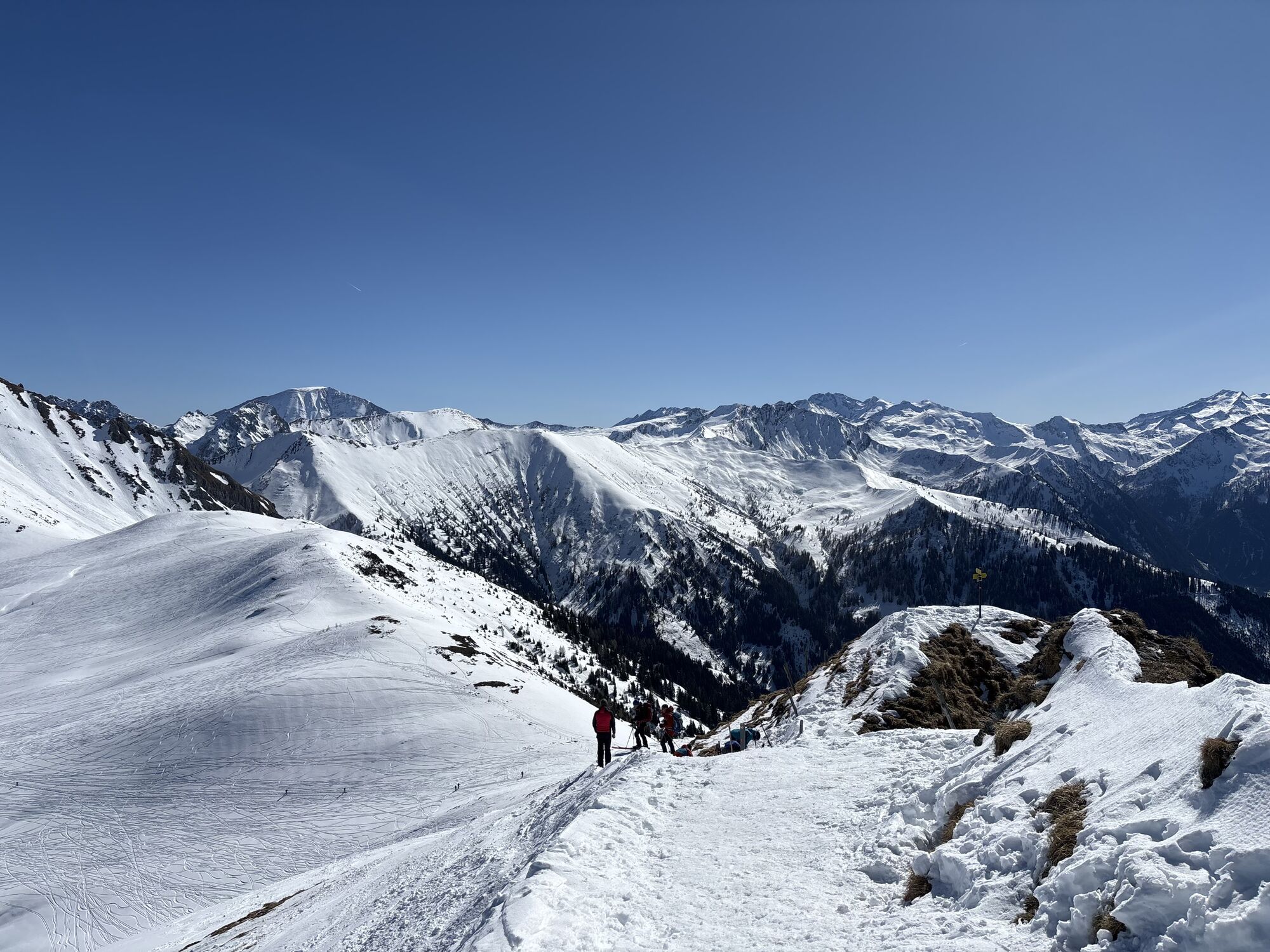
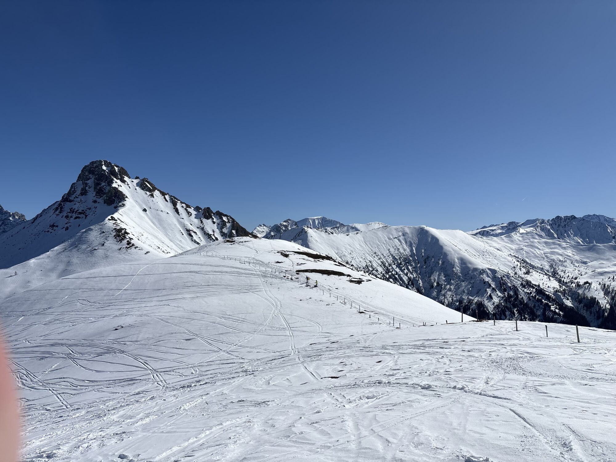
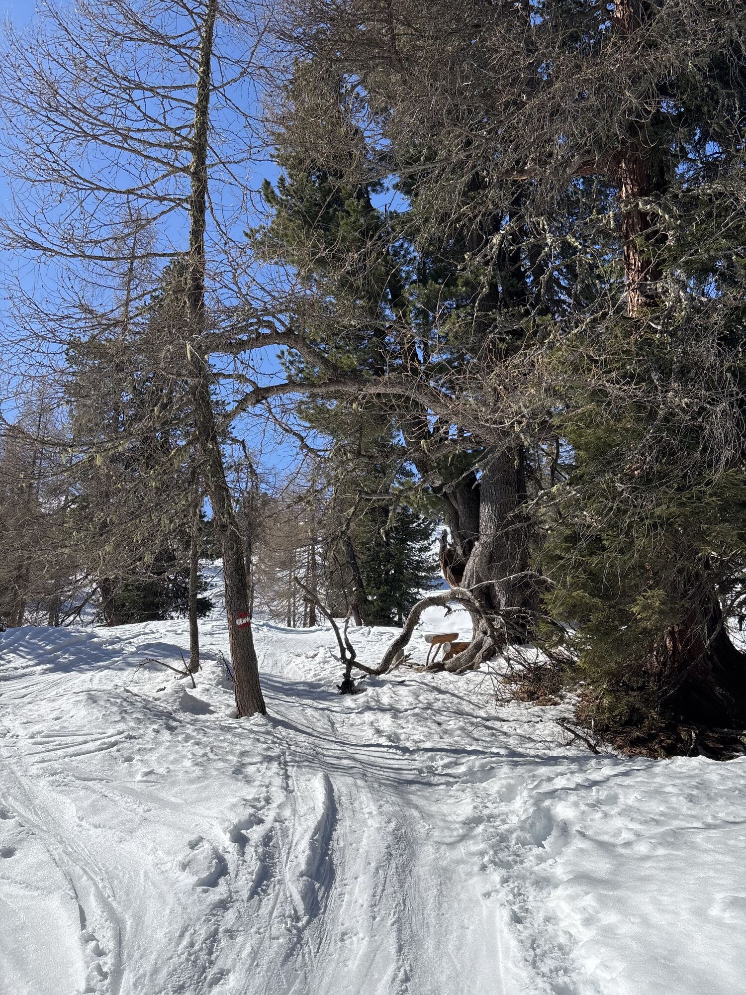
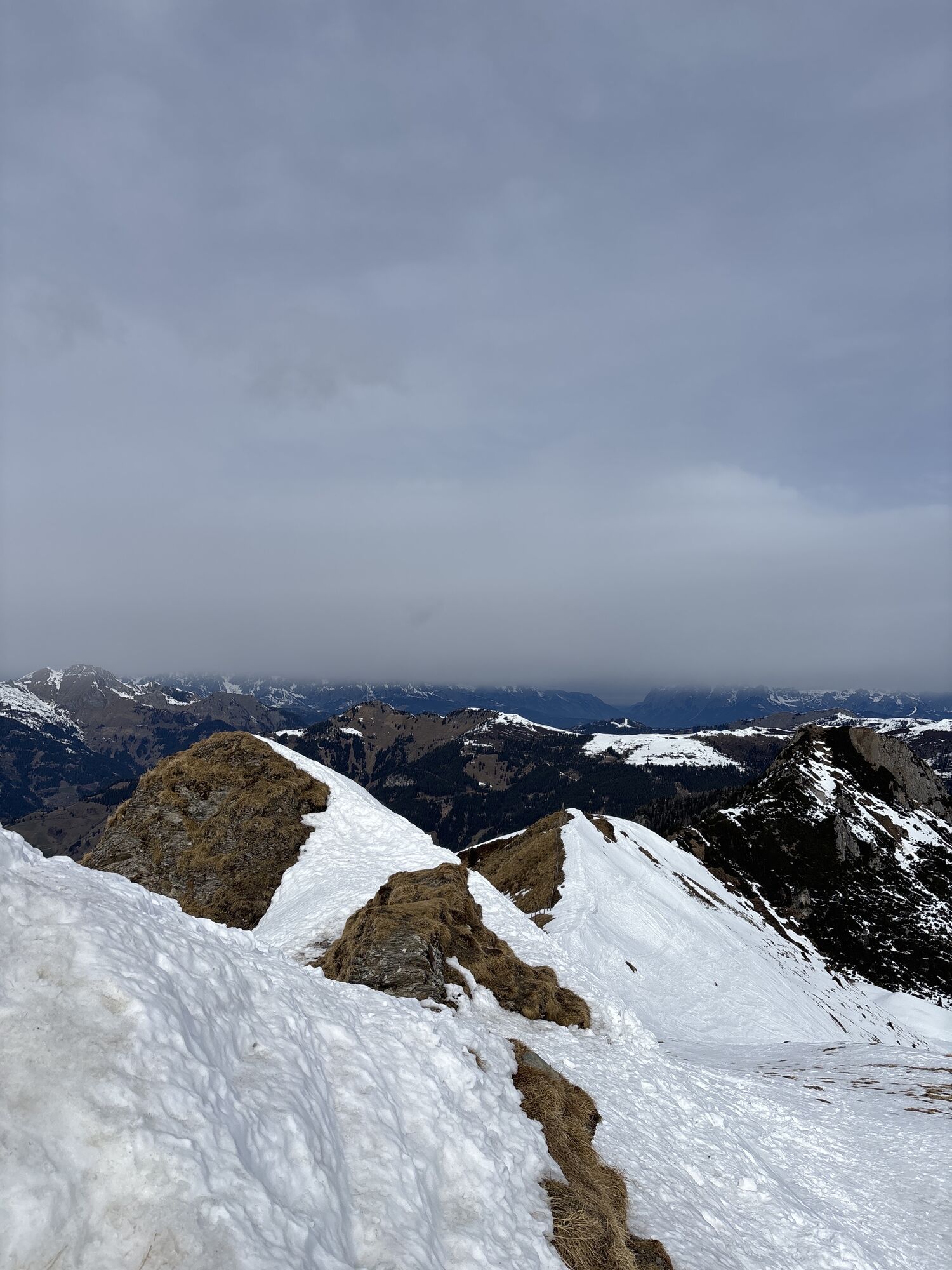
Along the way, you can admire numerous stone pine trees, which are also known as the kings of the Alps. At the top of the Filzmooshörndl, you are rewarded with magnificent views across Grossarltal.
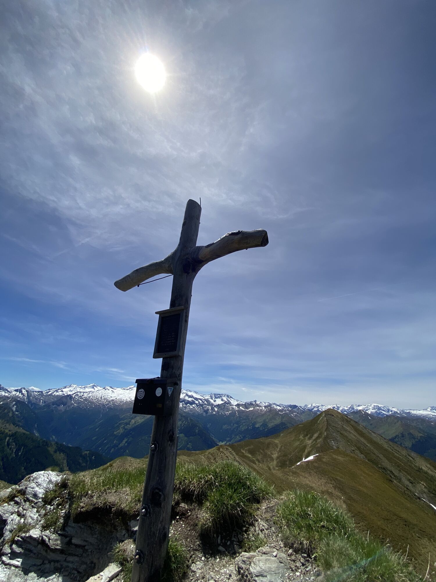
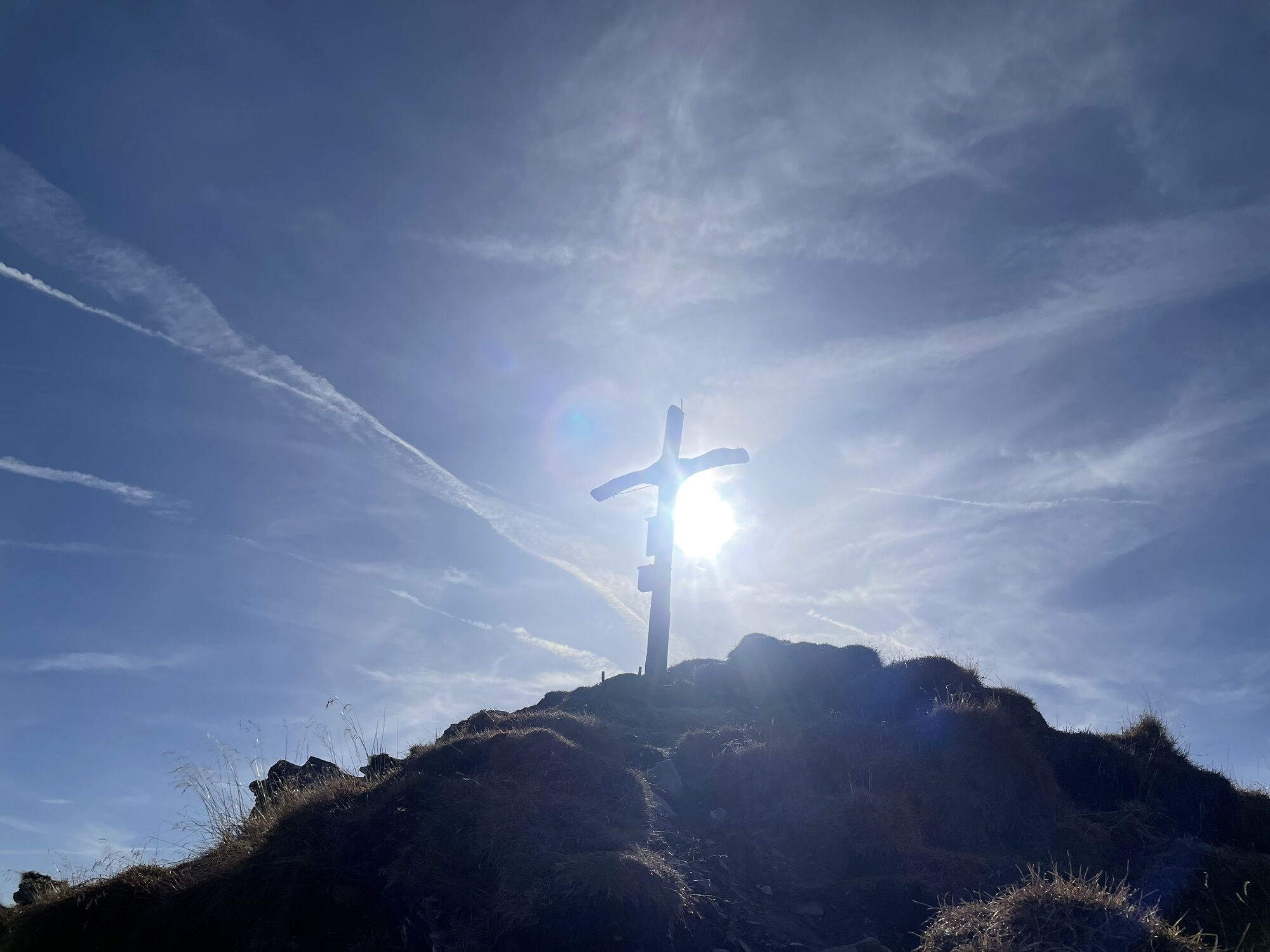
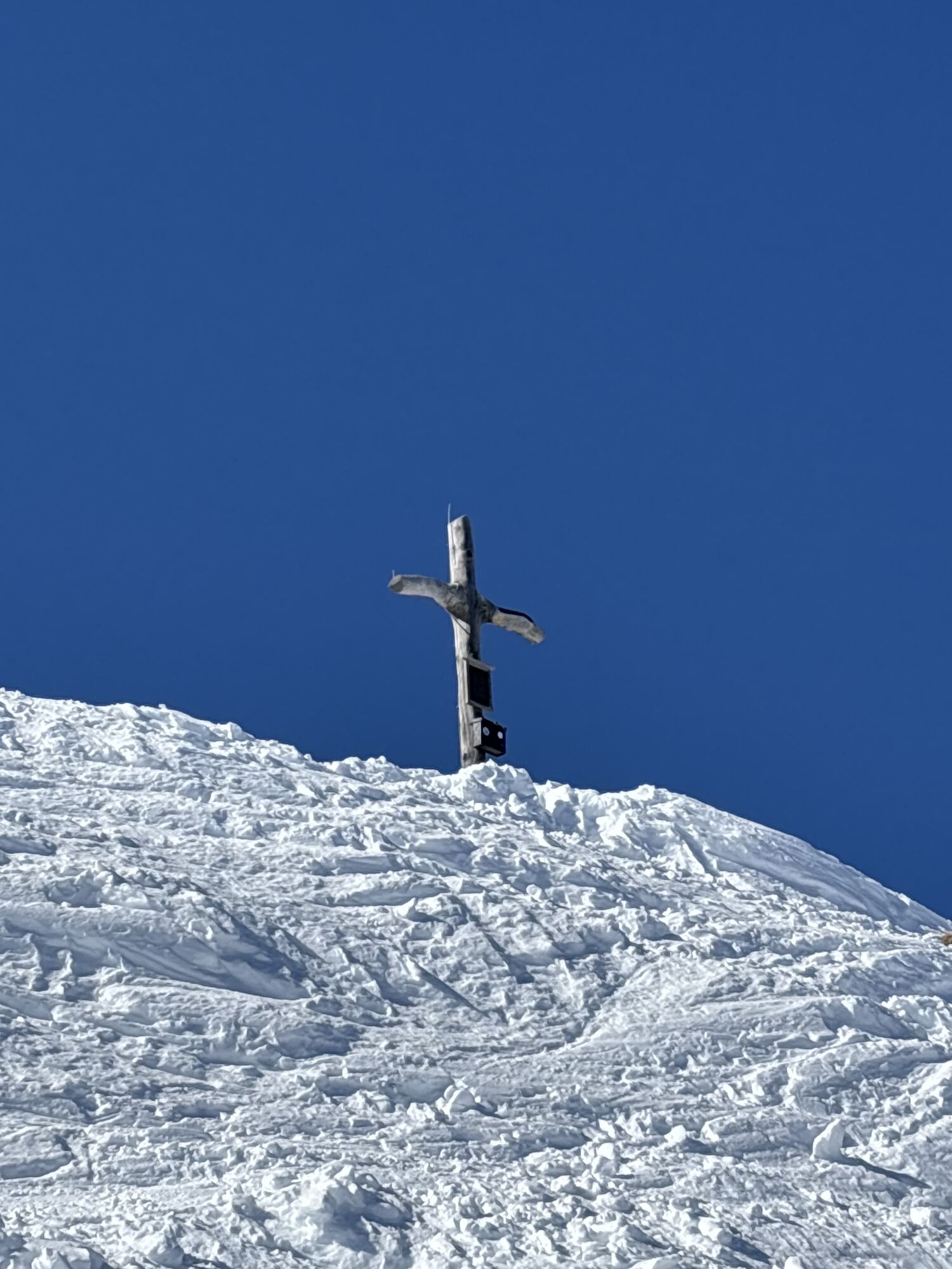
A detour to the Filzmooshöhe is also worthwhile: here you will find a very special tuning fork with a wooden sun. After descending to the Filzmoosalm, you can enjoy homemade specialities. The route back to the Grundlehen car park follows the beautiful mountain trail through the forest once again.
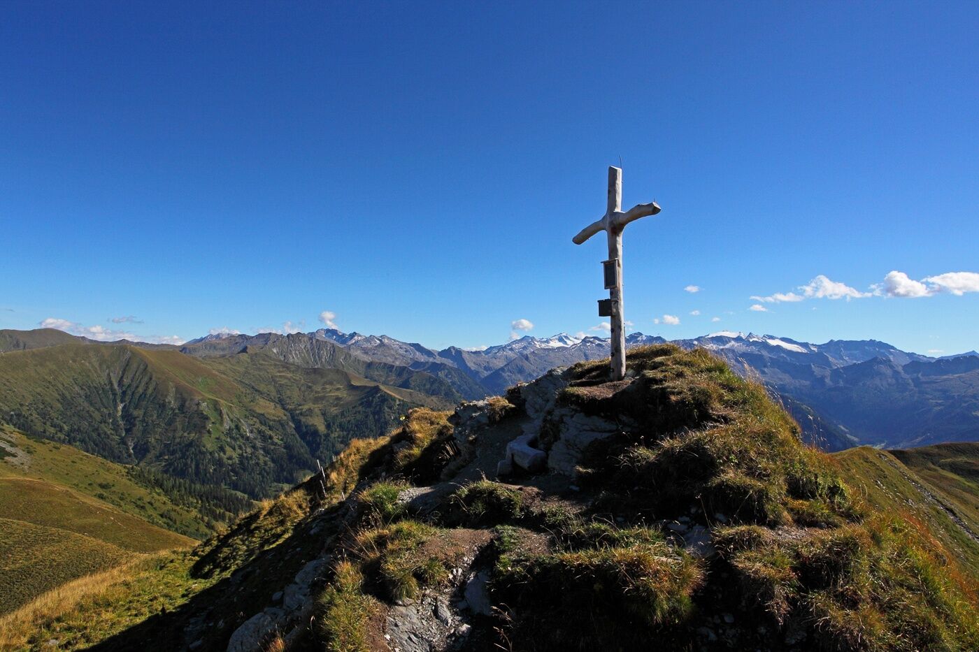
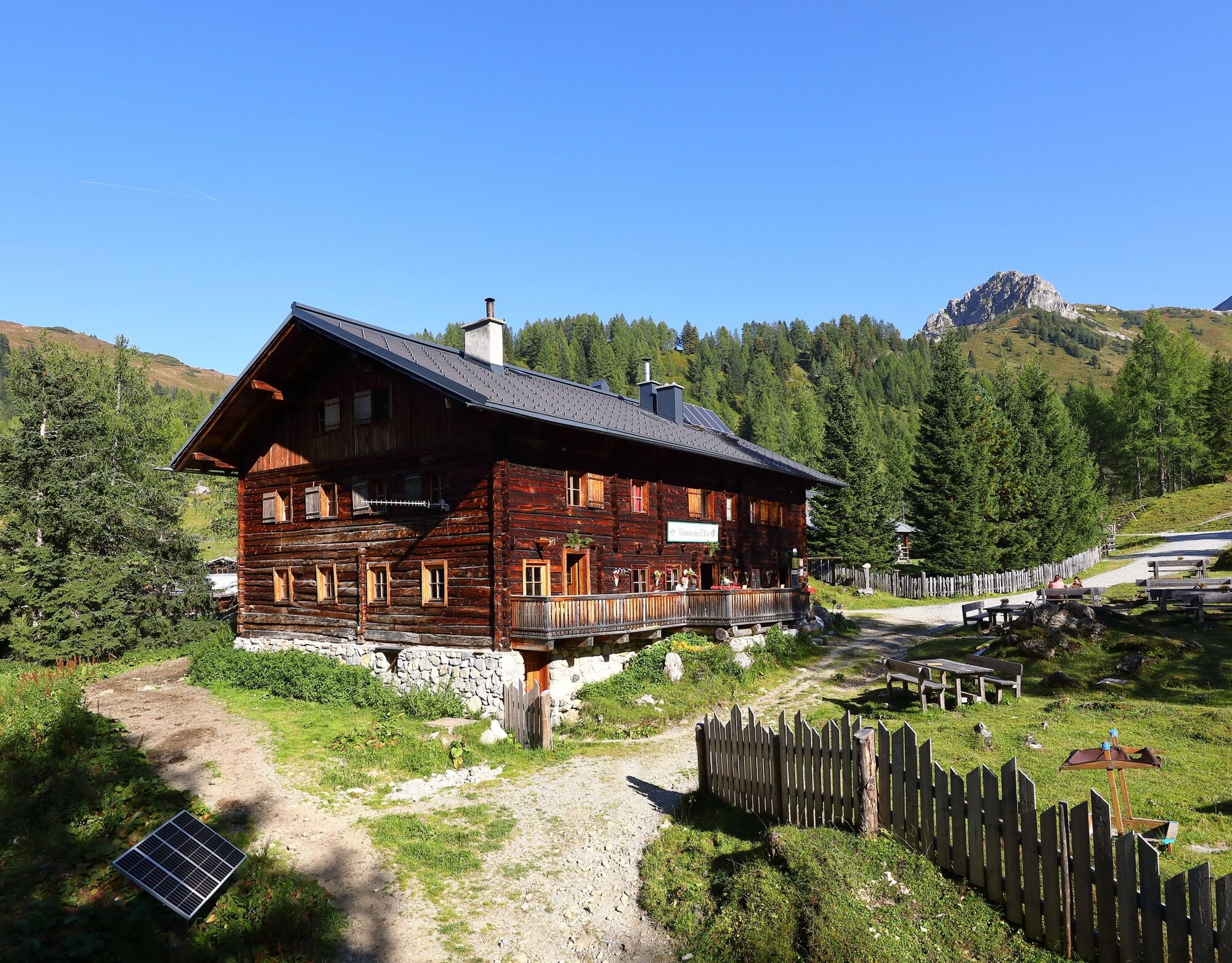
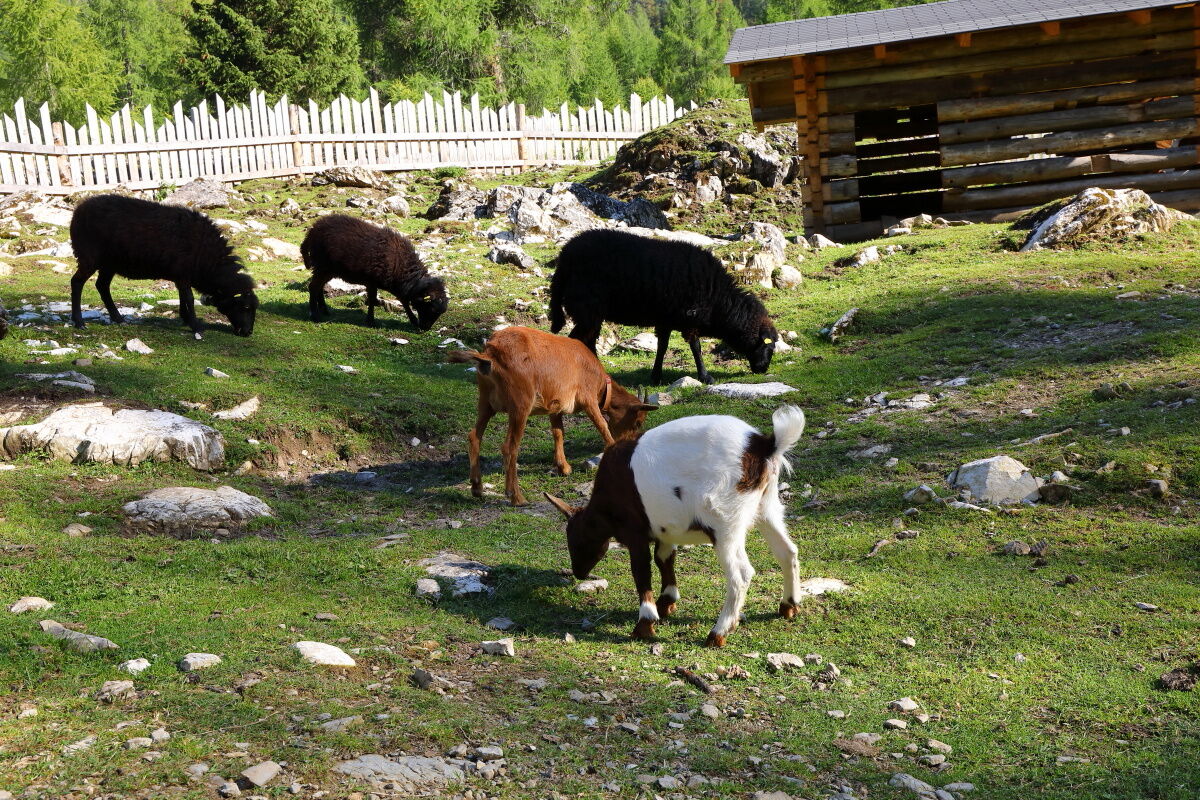
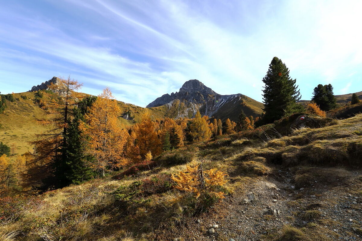
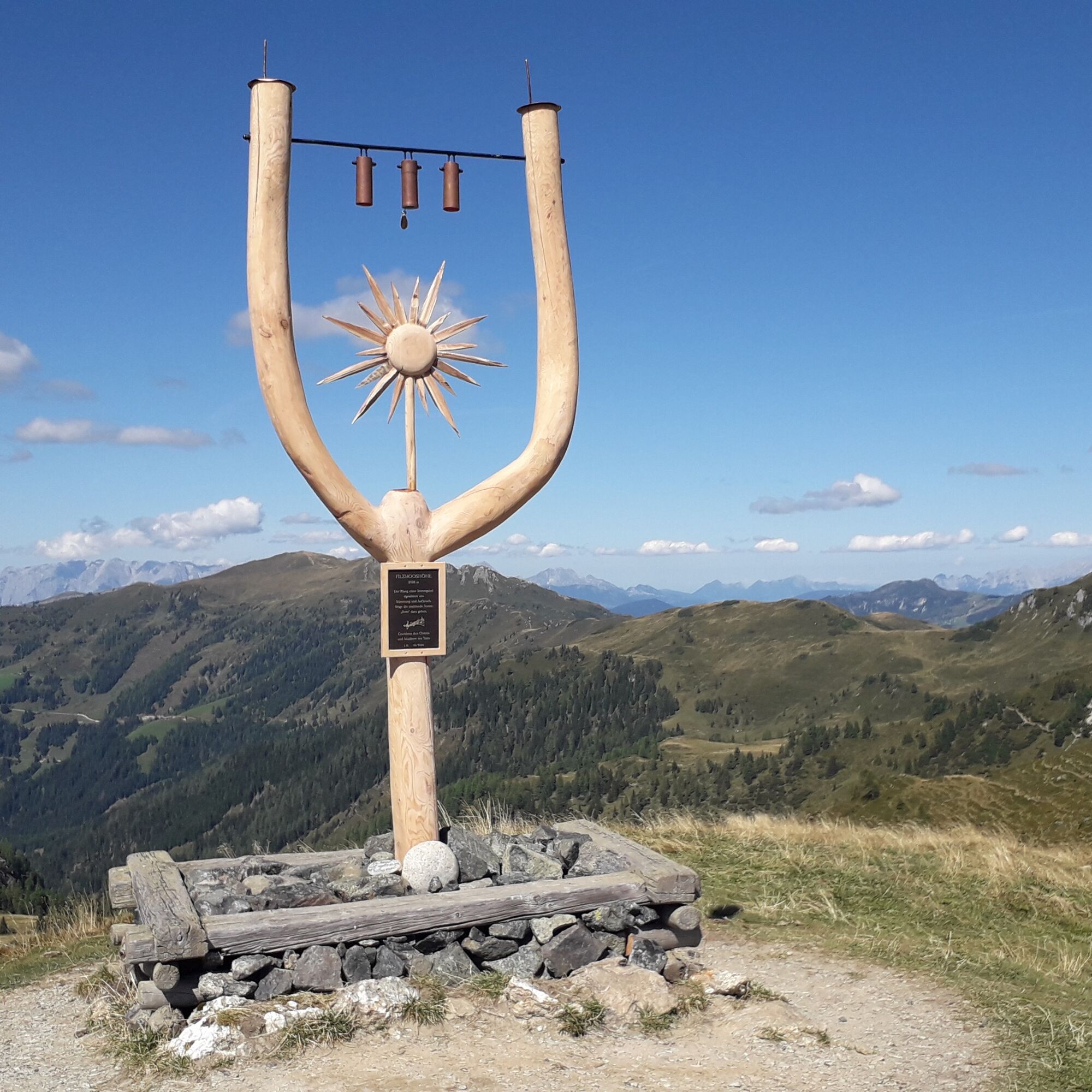

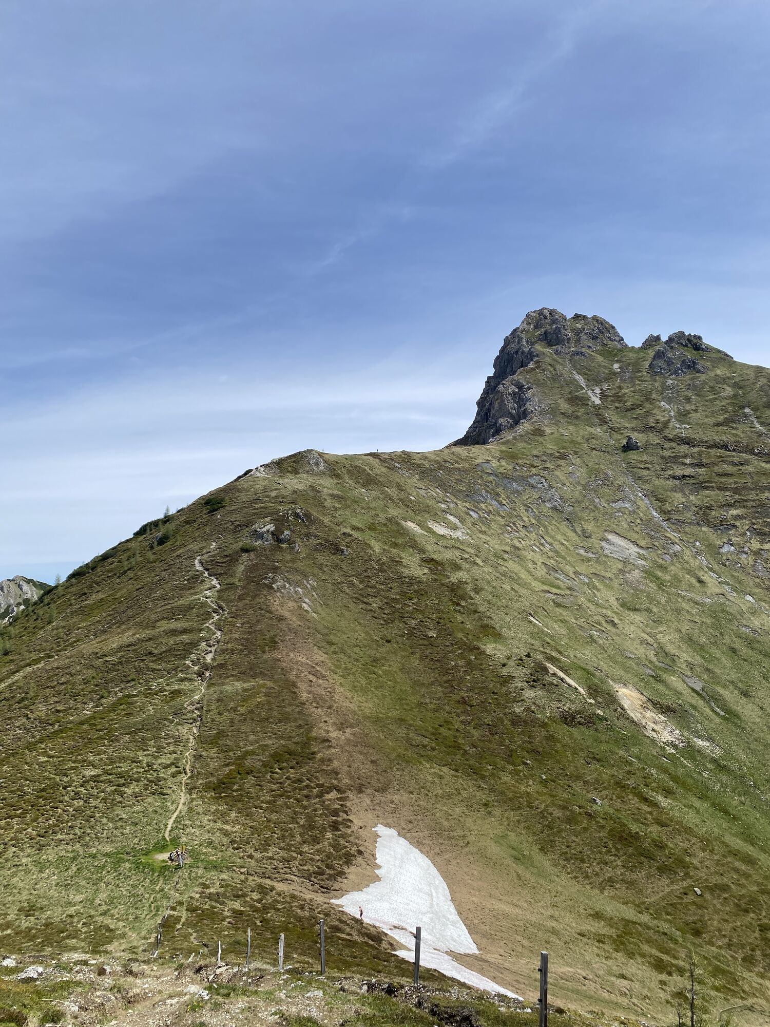
Drive by car or take the regular bus to Ellmautal to Grundlehen, 1,322 m – parking available. A beautiful trail through the forest (trail no. 57,720) leads comfortably to the Filzmoosalm, 1,710 m (about 1 1/4 hours). Then continue a bit further on trail no. 57,720, then turn right onto trail no. 57A. The last section up to the Filzmooshörndl, 2,189 m (about 1 1/2 hours) is along trail no. 64. Trail no. 64 continues to the Filzmooshöhe, 2,103 m (about 1/2 hour), which lies on a small elevation. For the descent to the Filzmoosalm (about 1 1/4 hours) and then back to the Grundlehen parking lot, 1,322 m, take trail no. 57,720 (about 1 hour).
Ano
Ano
Hiking boots with treaded soles, hiking map, backpack with provisions, water bottle, and first aid kit
Travel by car, hiking taxi, or Ellmautal regular bus no. 541 to Ellmautal to the Grundlehen parking lot.
Grundlehen parking lot
Filzmooshörndl can be combined well with Filzmooshöhe for a small circular hike.


Webové kamery z prohlídky

Aktivity na trase
-

Filzmooshörndl, Großarl, Salzburg/Österreich
08.08.2026 – Turistika -

Großarl, Salzburg/Österreich
27.06.2026 – Turistika -

Großarl, Salzburg/Österreich
25.06.2026 – Turistika -

Filzmooshörndl, Salzburg/Österreich
06.06.2026 – Turistika -
Großarl, Salzburg/Österreich
06.06.2026 – Turistika -
Großarl, Salzburg/Österreich
01.11.2025 – Horská turistika -

Großarl, Salzburg/Österreich
16.10.2025 – Turistika
Oblíbené prohlídky v okolí
-
4.9
4-Gipfel-Tour
středníHorská turistika 6.40 km -
4.9
Großarl: Heukareck
středníTuristika 12.5 km -
4.9
Großarl: Aualm - Liechtensteinkopf - Aukopf - Schuhflicker - Schuhflickersee
středníTuristika 5.84 km -
4.2
Tappenkarsee Kleinarl
středníTuristika 9.11 km -
4.8
Großarl: Himmelsroute
středníTuristika 5.41 km -
5.0
Großarl: Alpine pasture circuit in Ellmautal
středníTuristika 9.69 km -
4.6
Großarl: Mooslehenalm – Niggeltalalm – Viehhausalm
středníTuristika 5.44 km -
4.7
Großarl: Saukaralm - Saukarkopf - Gerstreitalm
středníTuristika 9.39 km -
4.6
Grießenkareck
středníTuristika 4.89 km -
4.8
Großarl: Bichlalm
středníMountainbike 18.9 km

Pěší turistika a stopování


Nenechte si ujít nabídky a inspiraci pro vaši příští dovolenou
Vaše e-mailová adresa byl přidán do poštovního seznamu.





