






Hüttschlag: Klingspitz
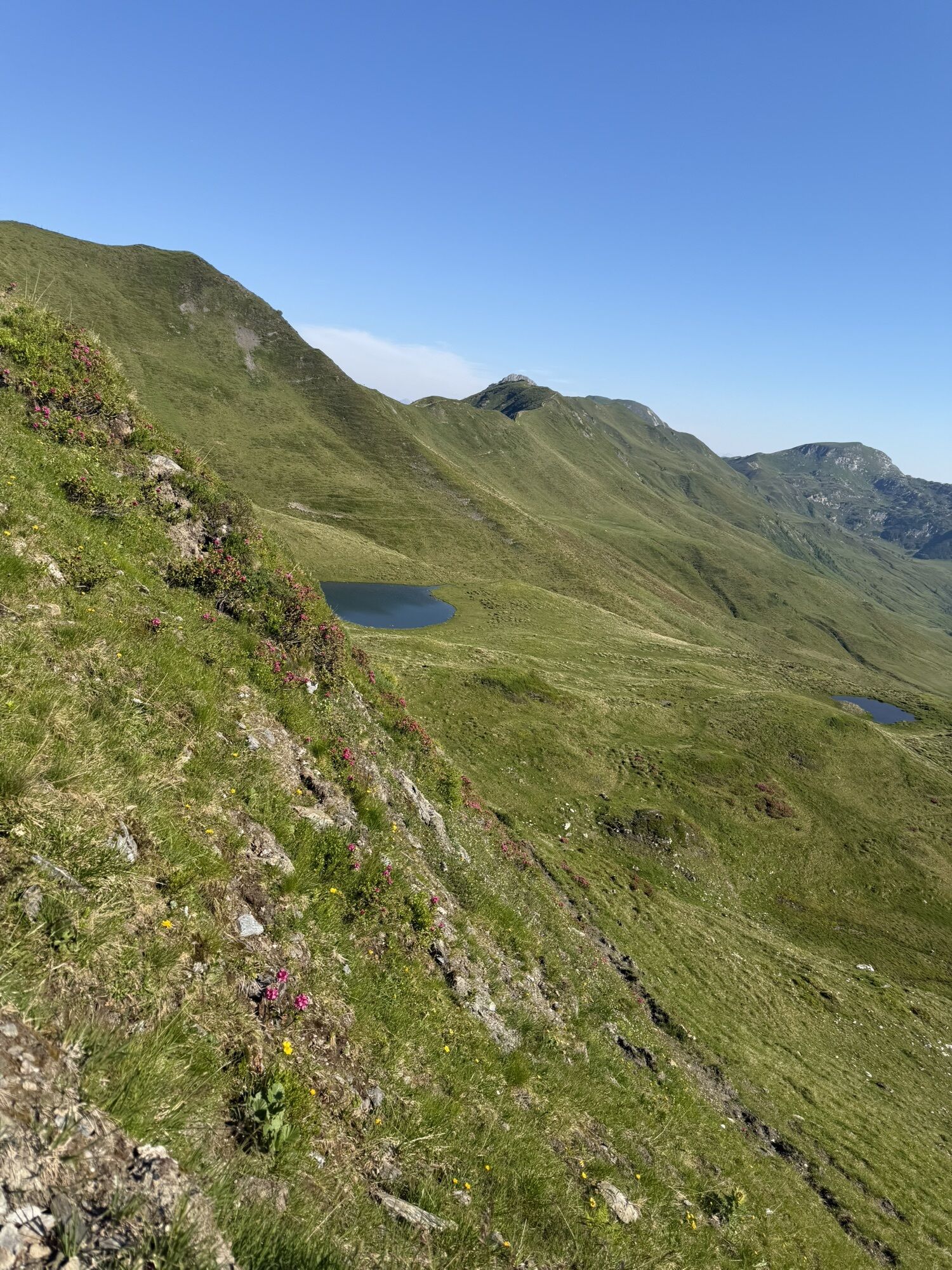
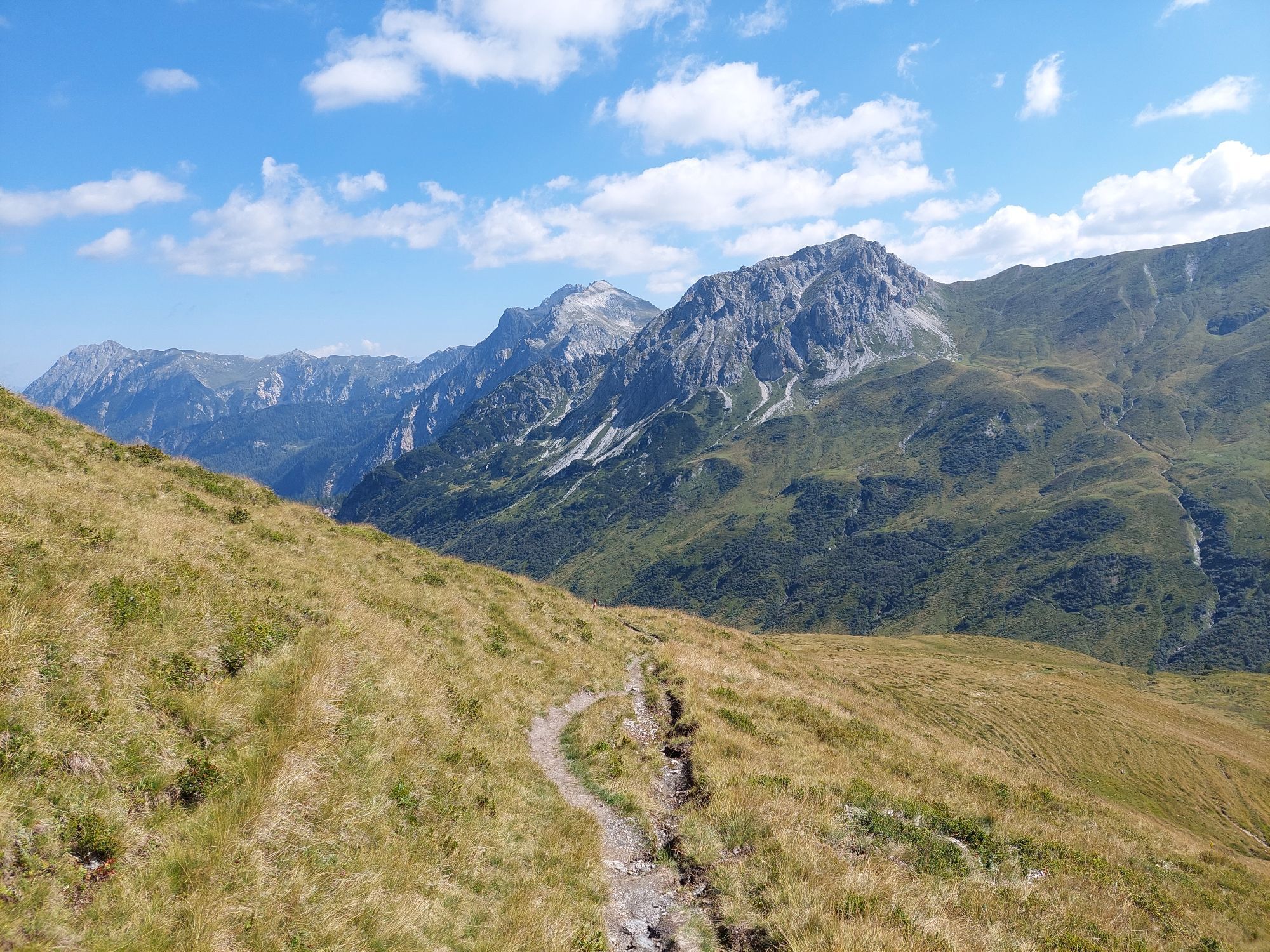
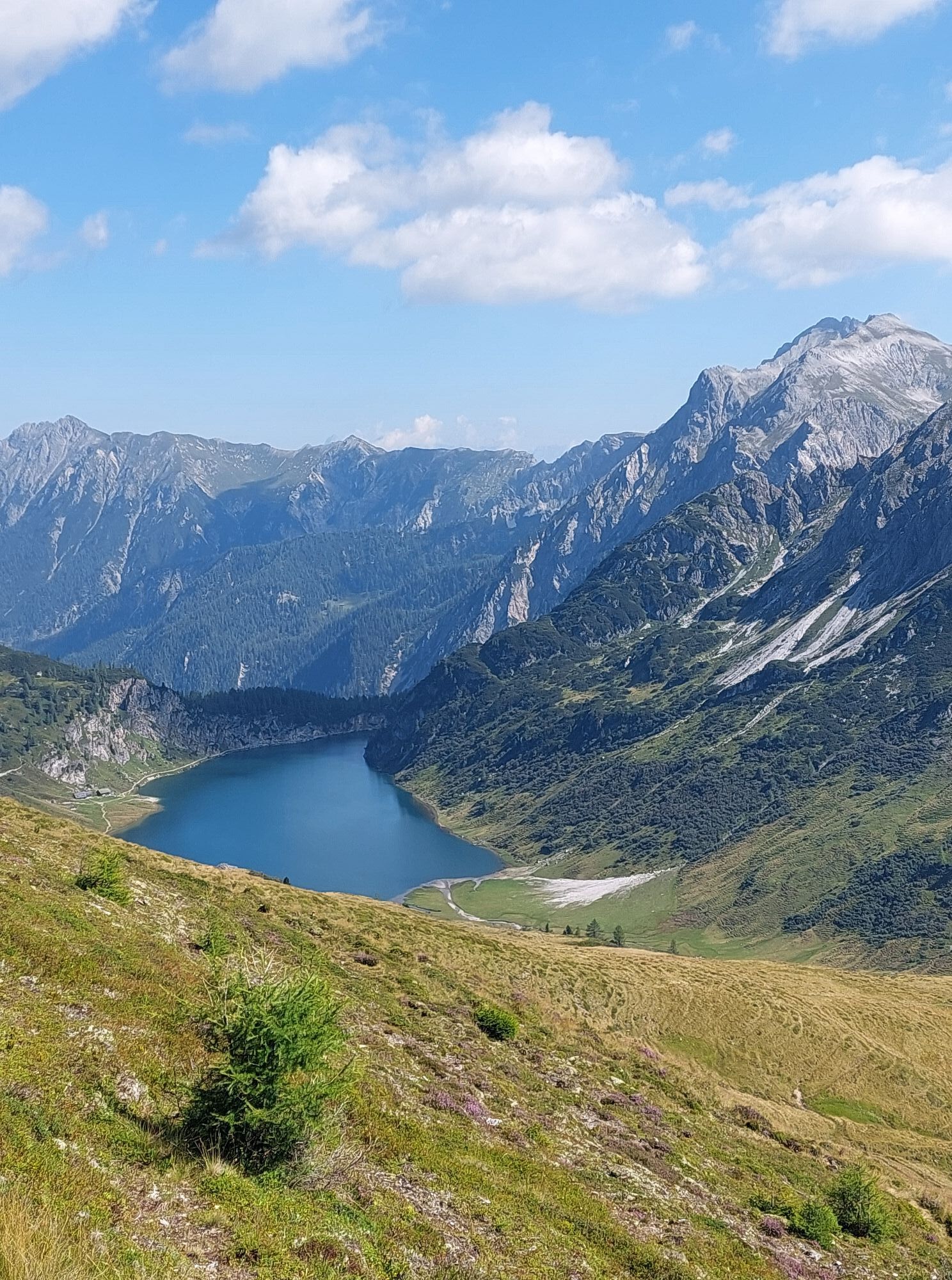
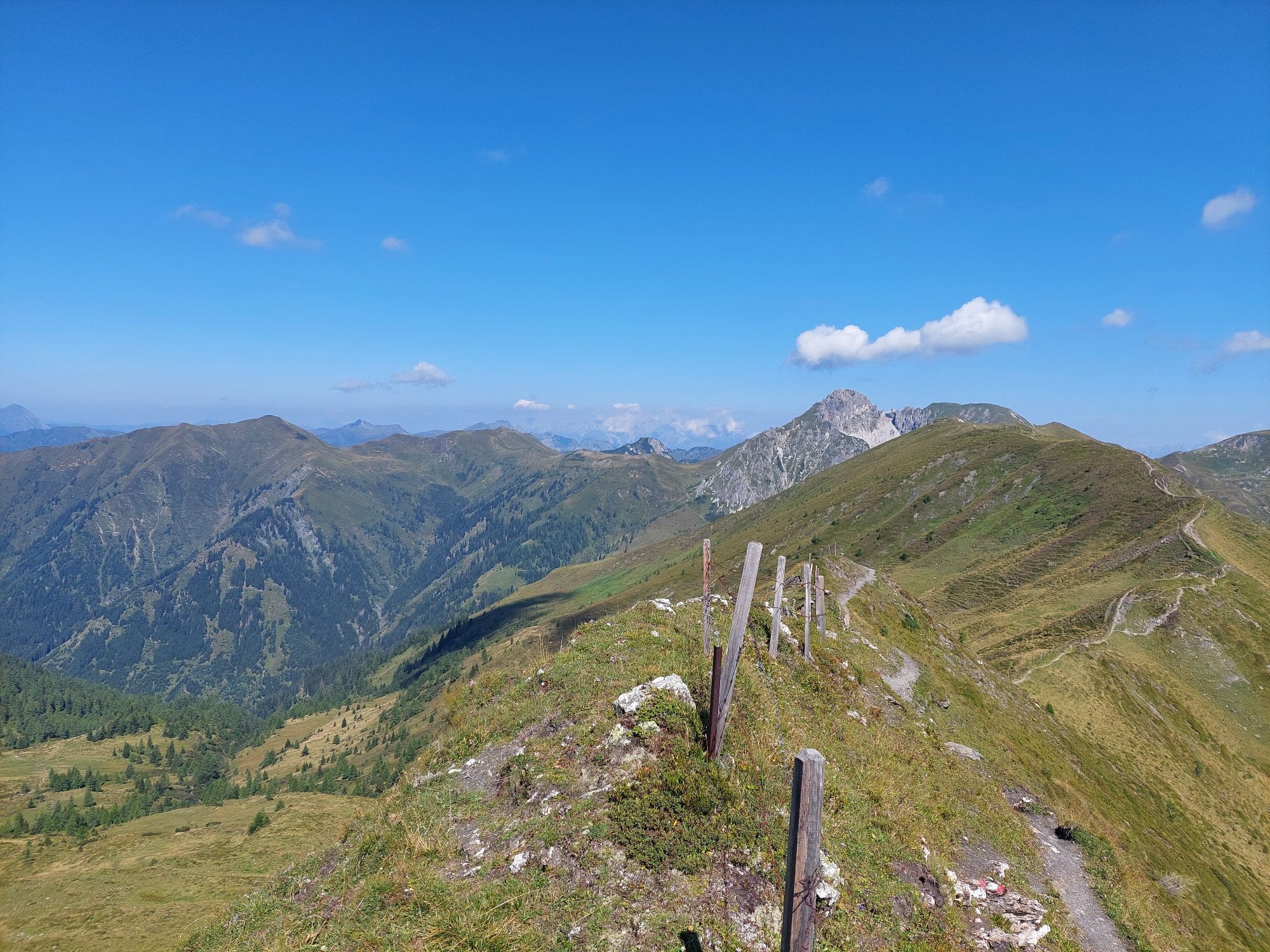
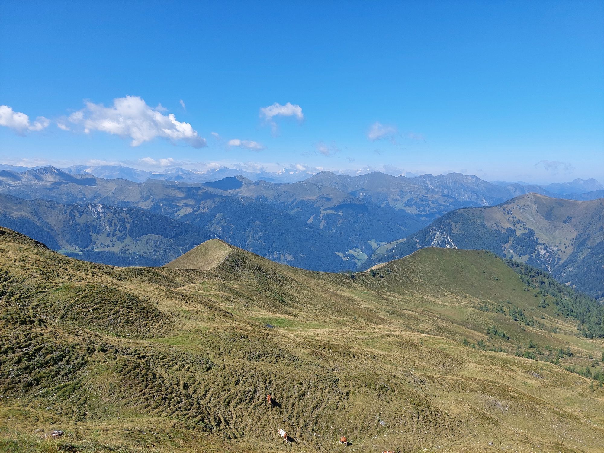
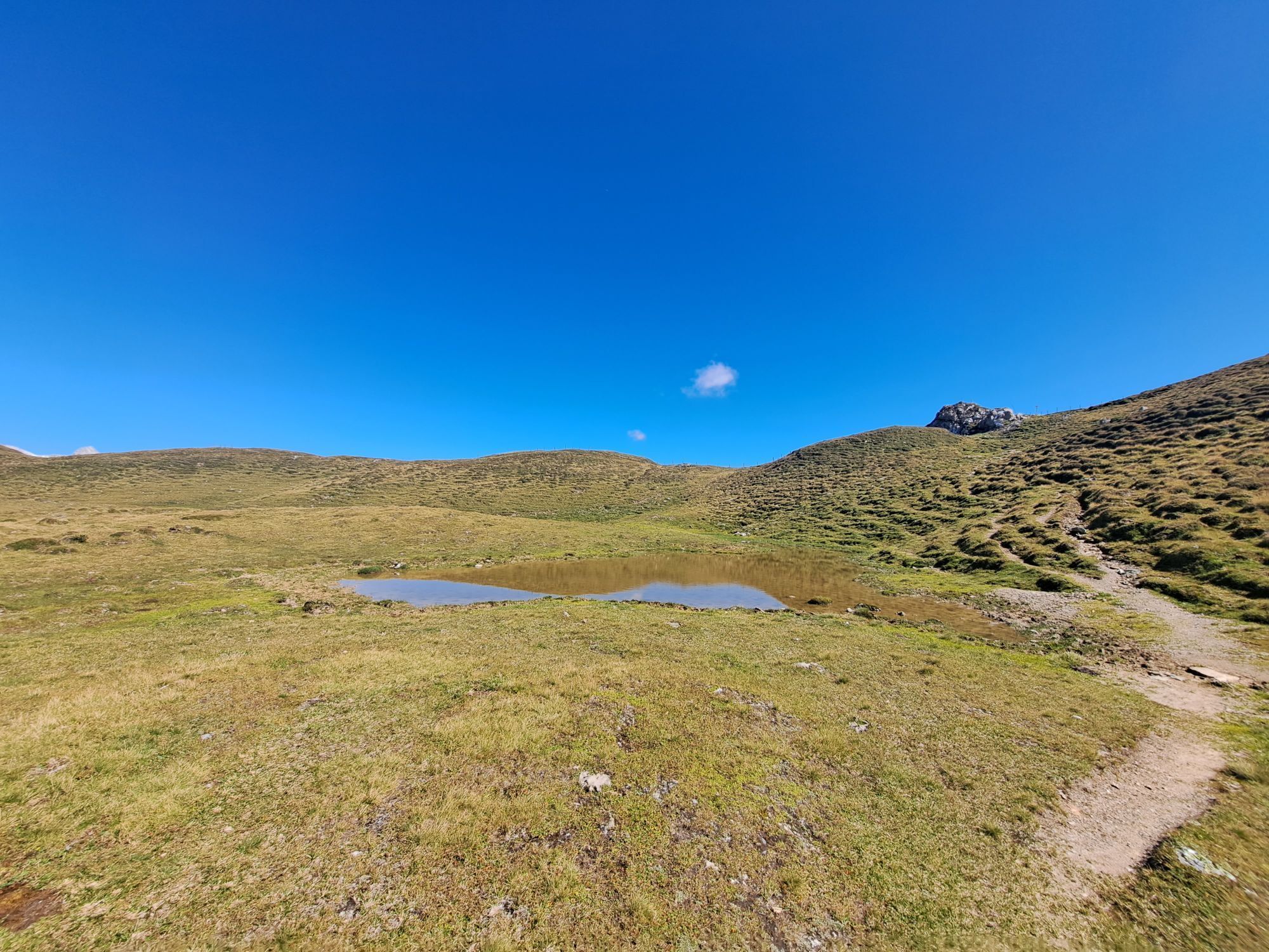
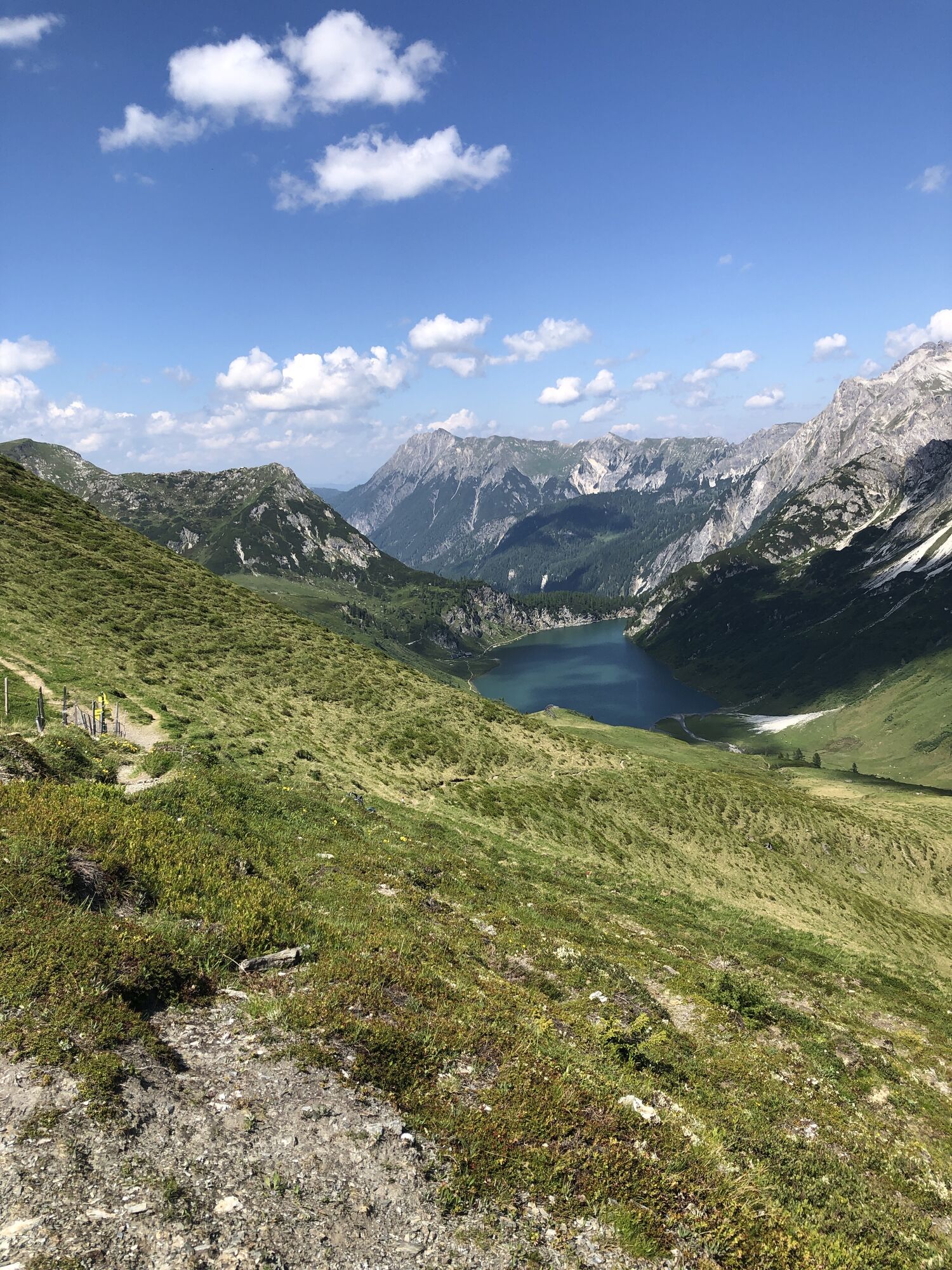
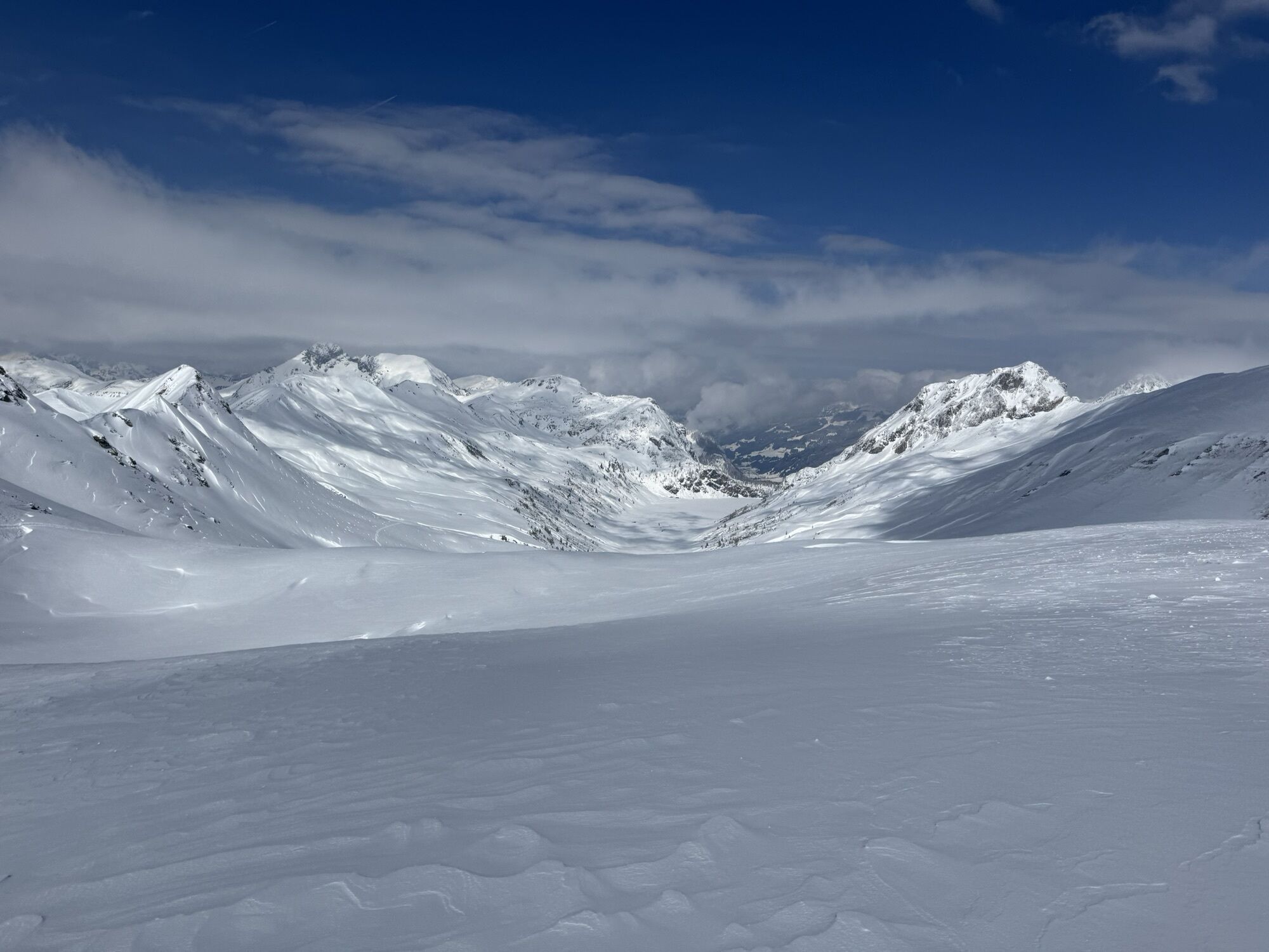
This hike starts at Hallmoosalm in Hüttschlag. After a short stretch on the service road, you branch off and follow the alpine trail to the Karteisalm (not managed). Across alpine meadows (particularly...
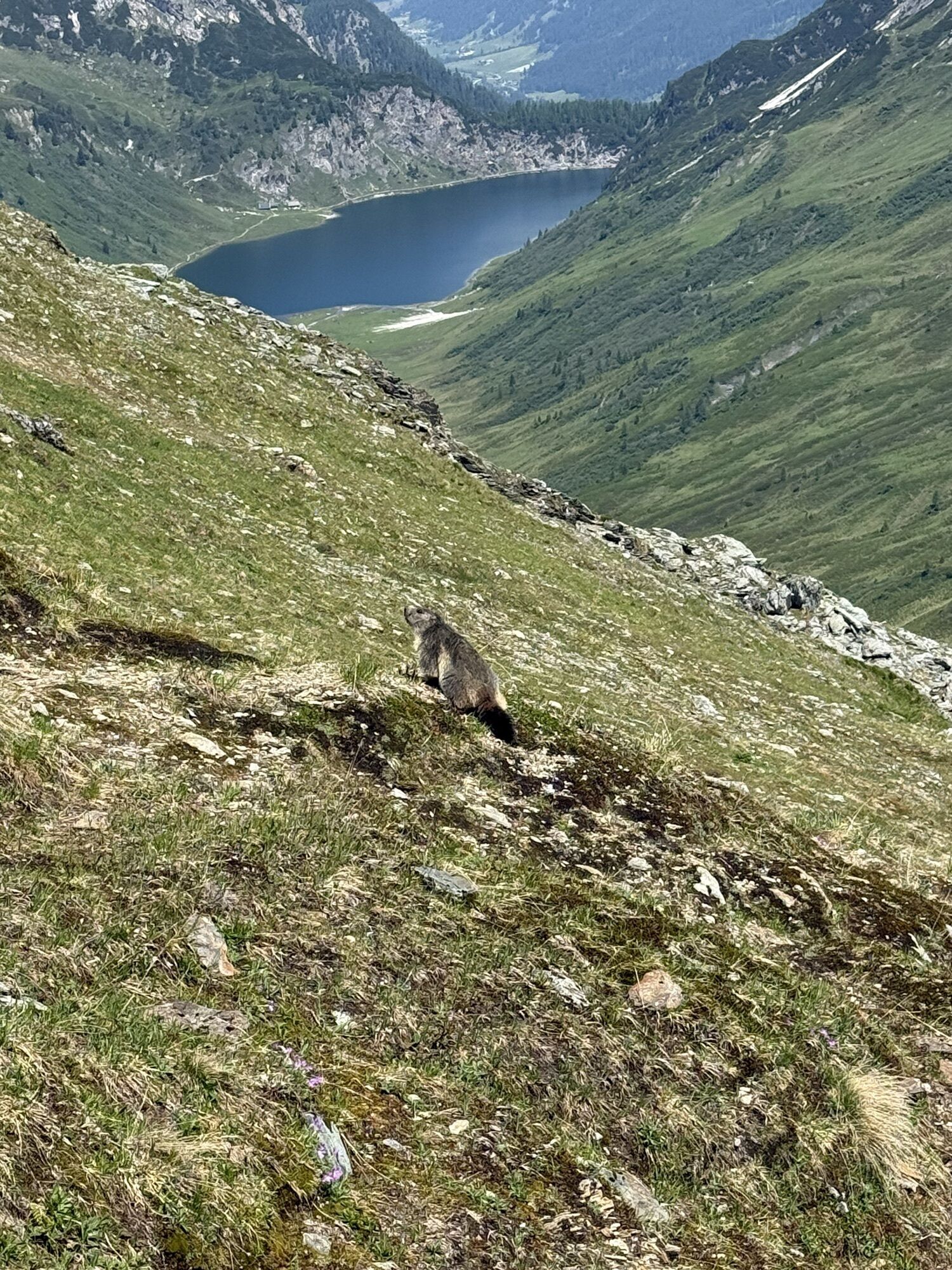
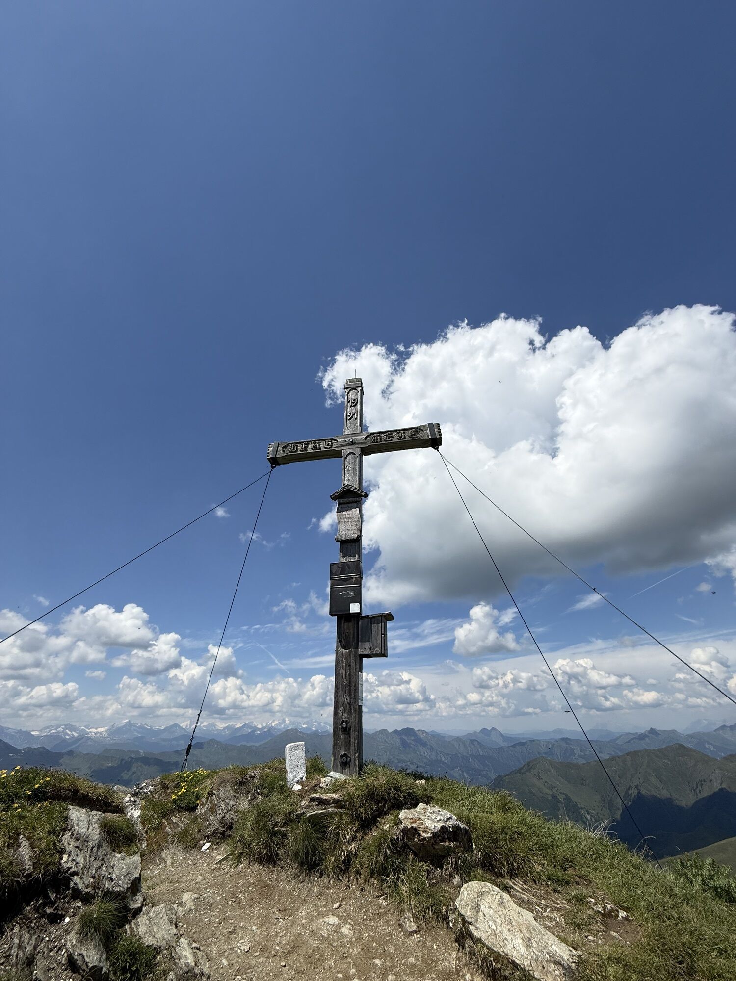
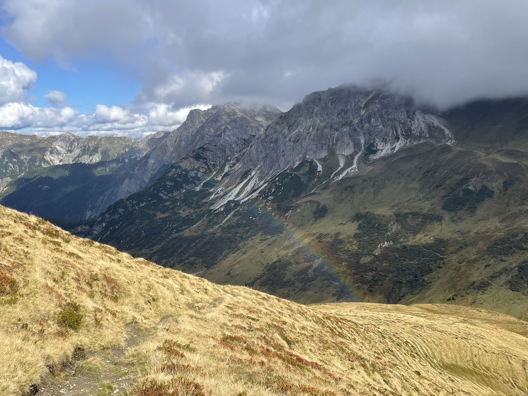
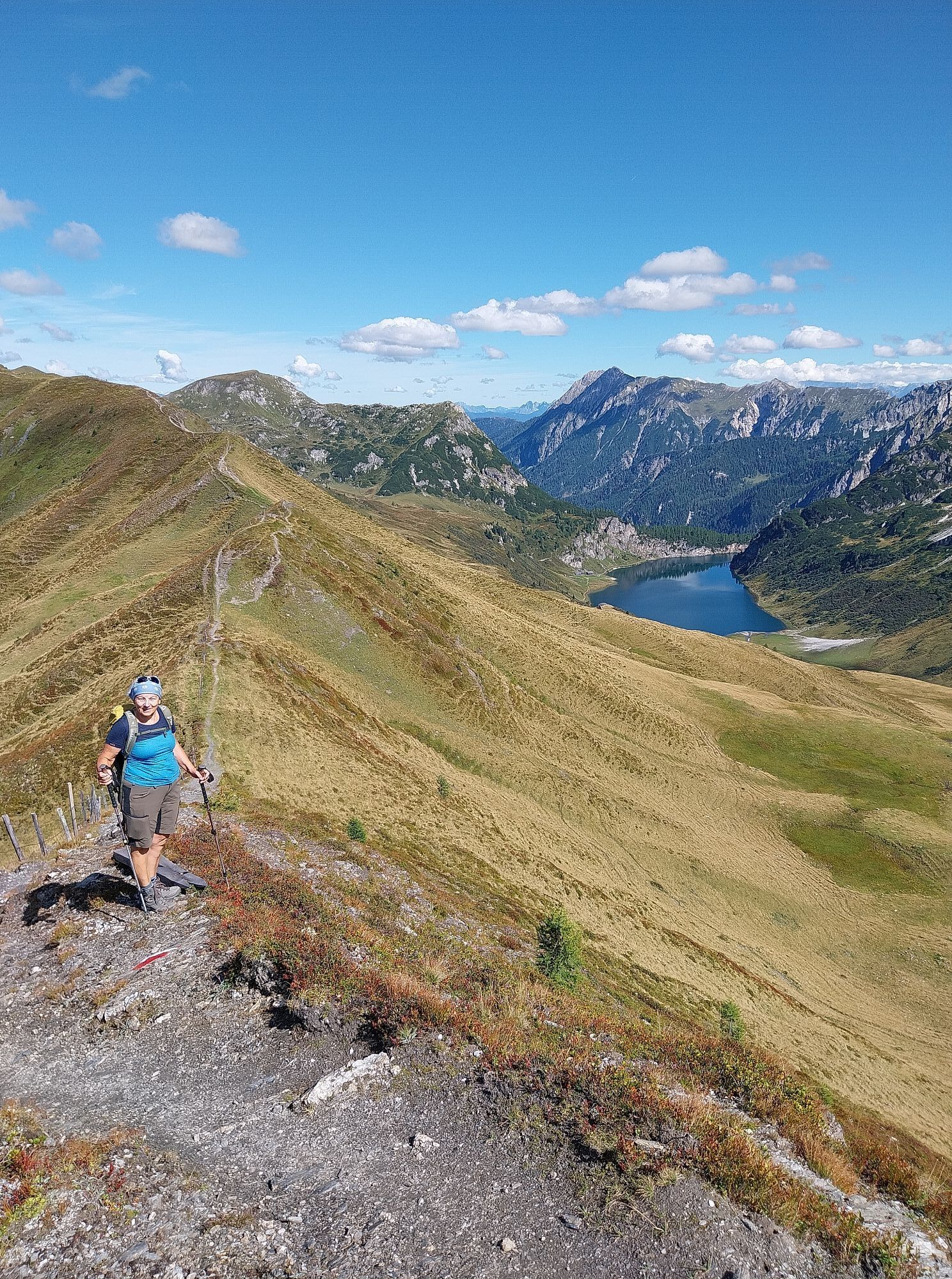
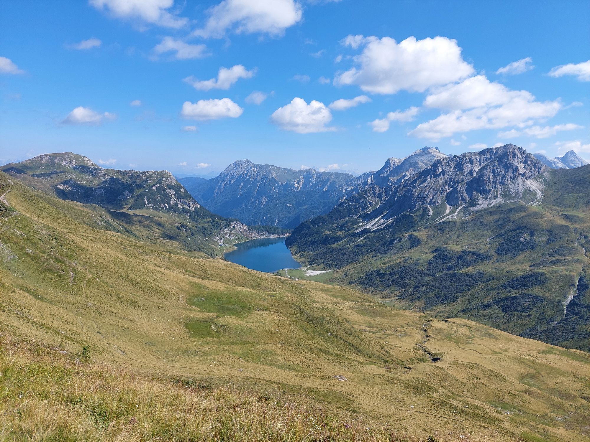
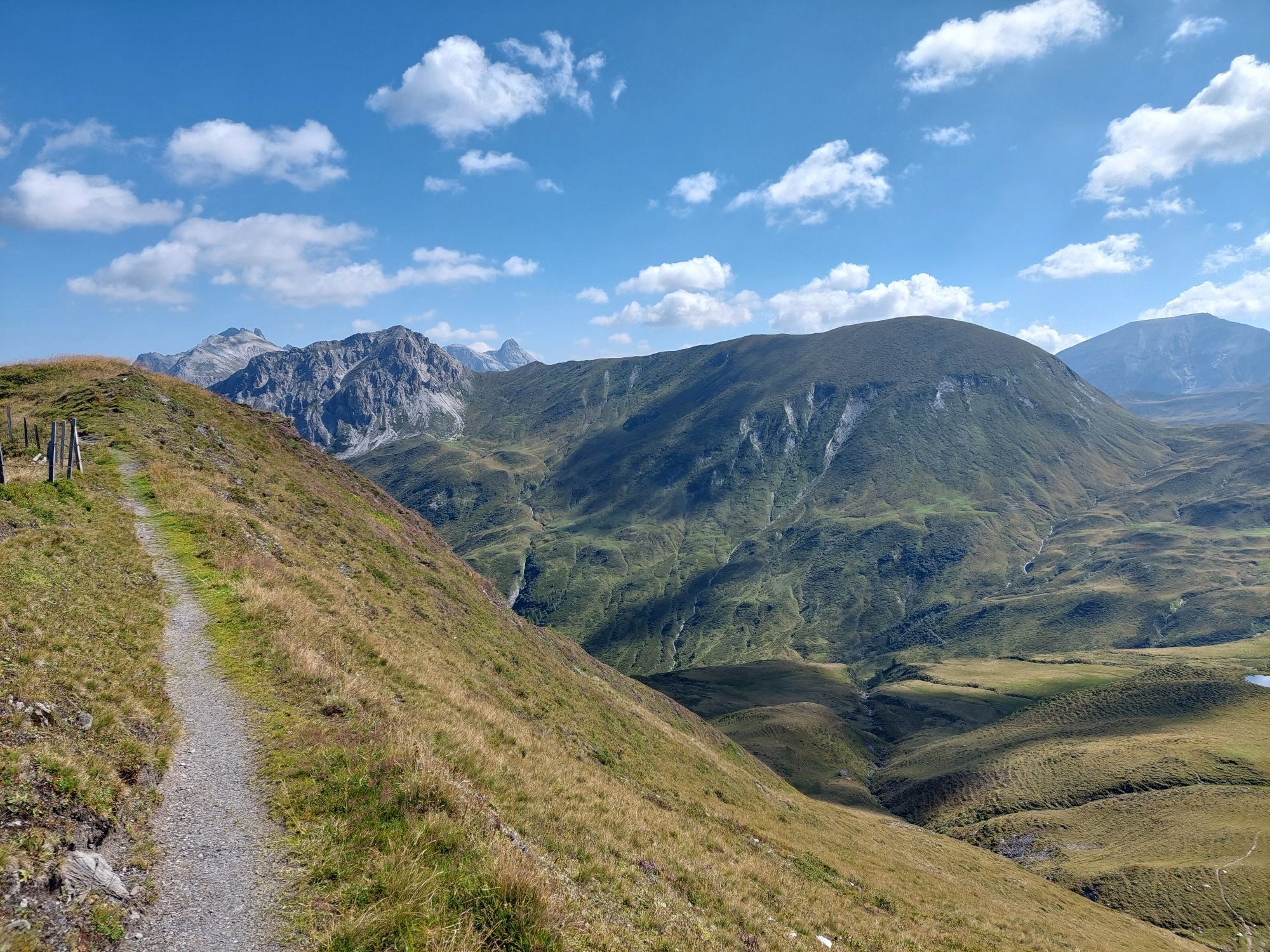
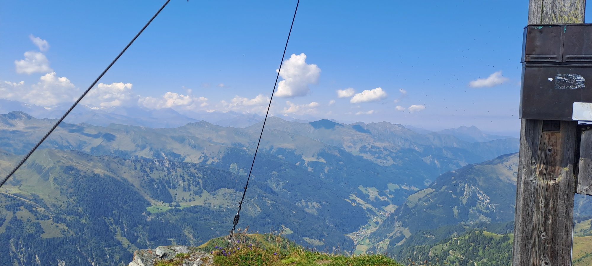
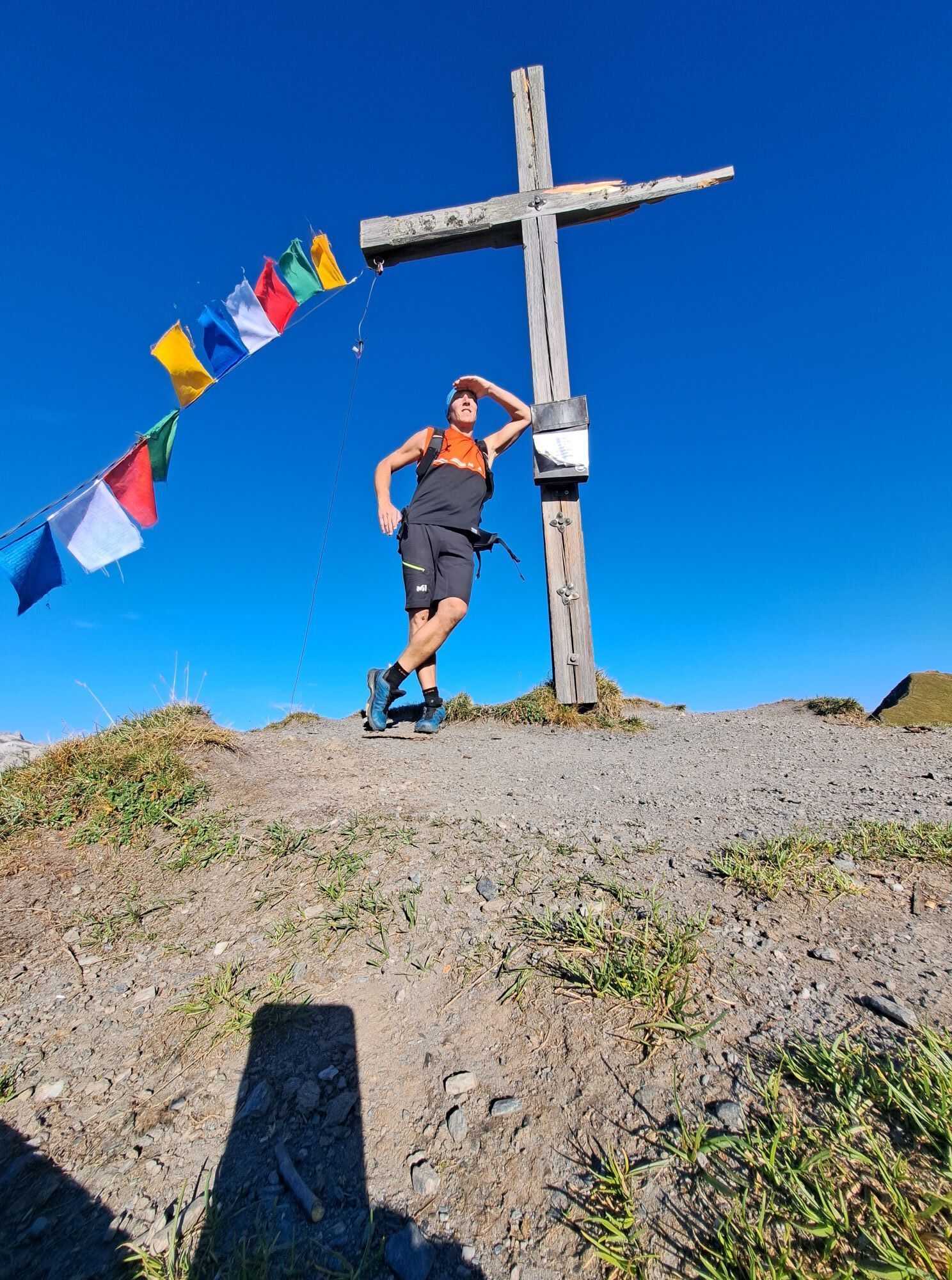
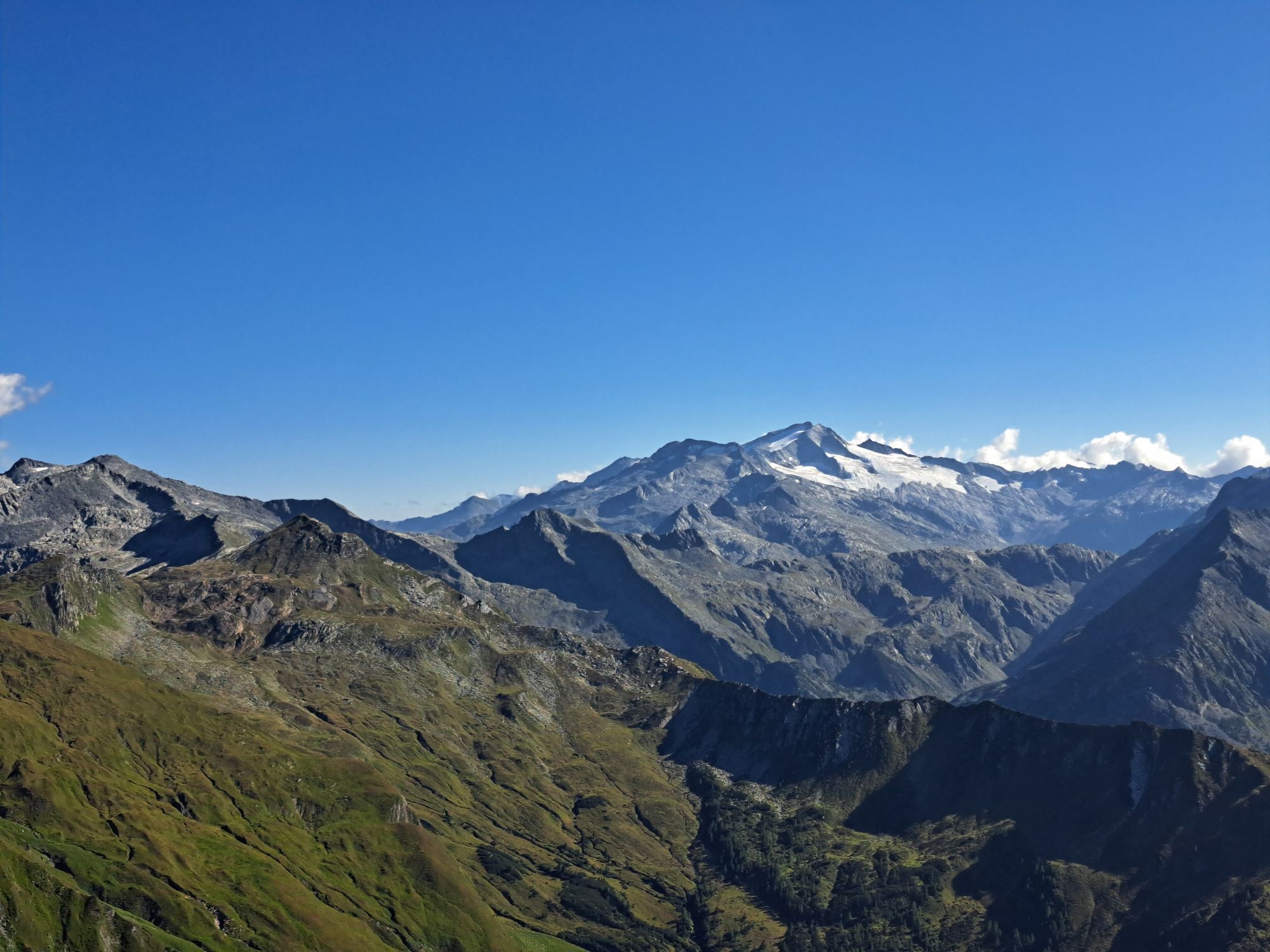
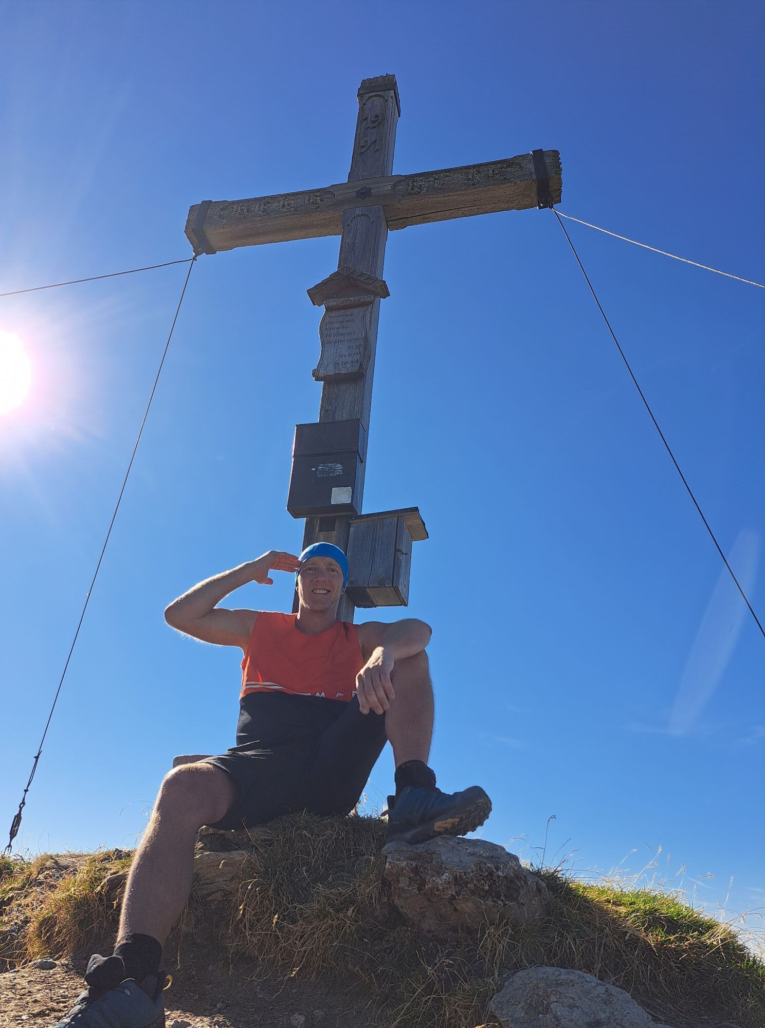
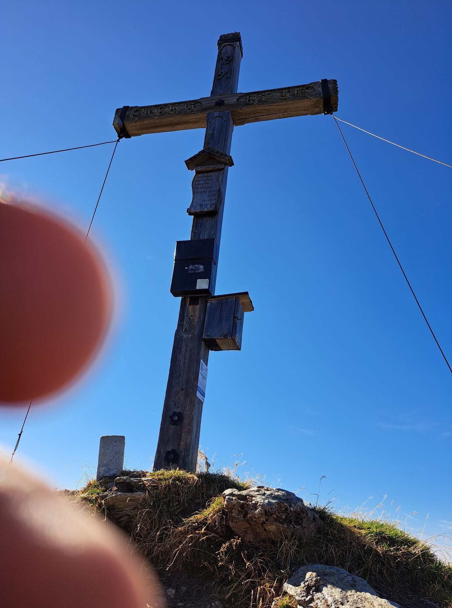
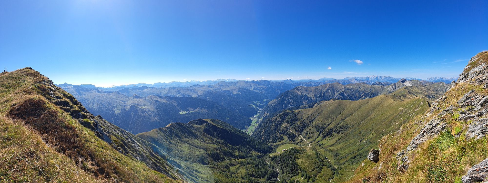
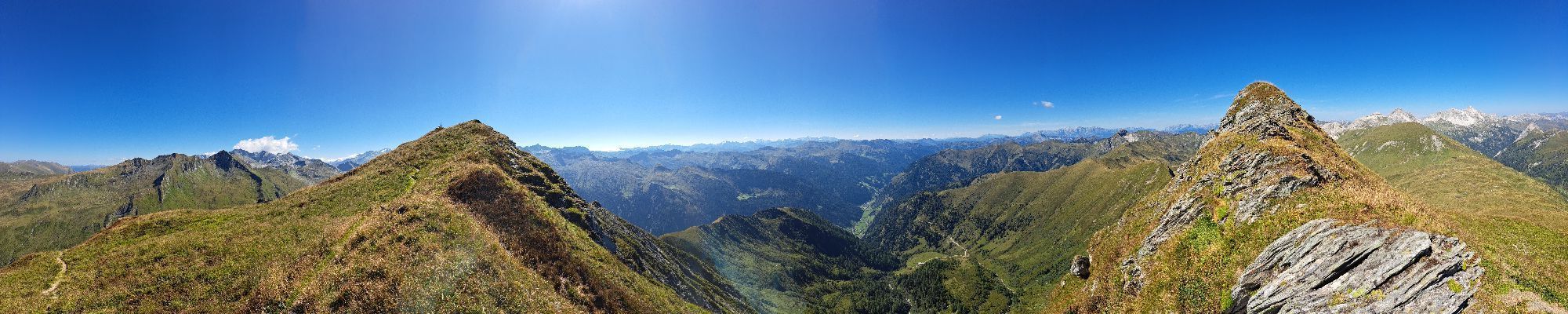
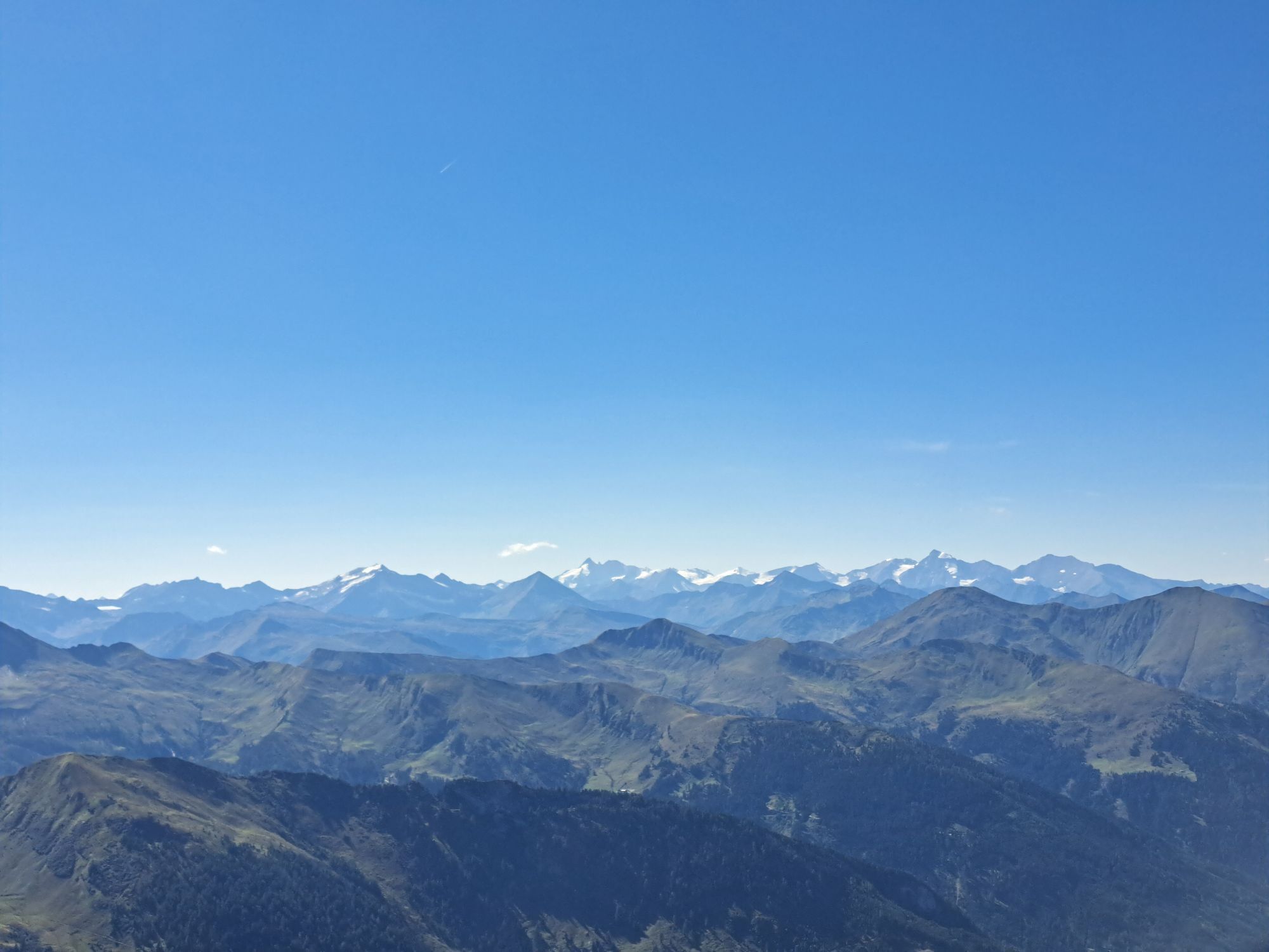
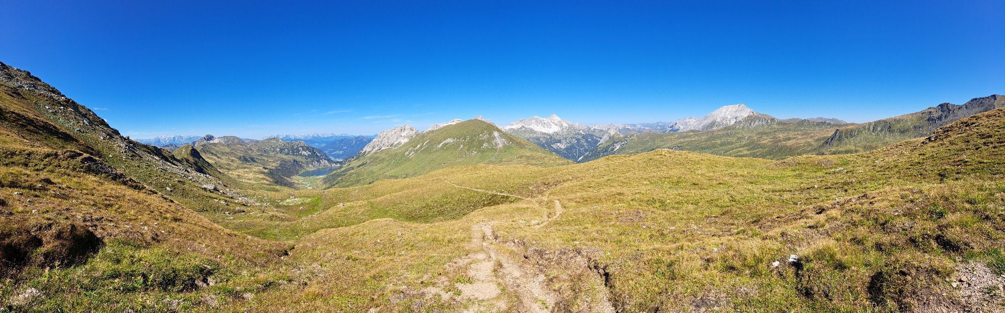
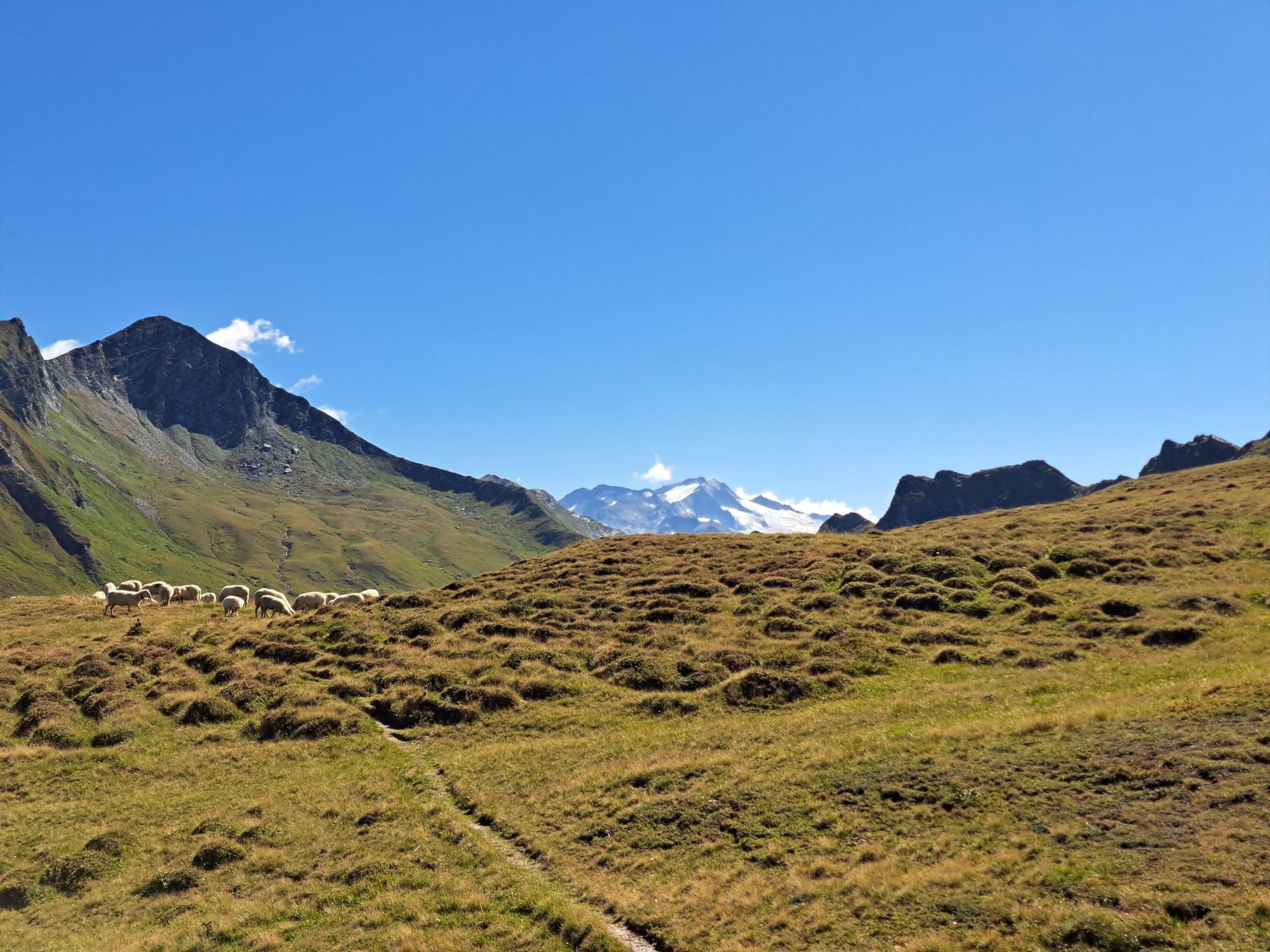
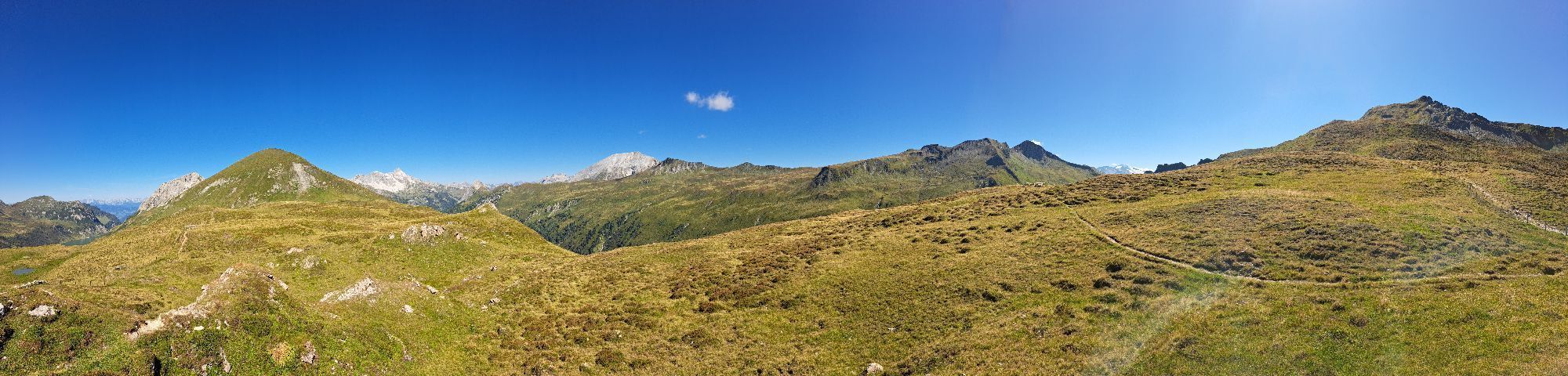
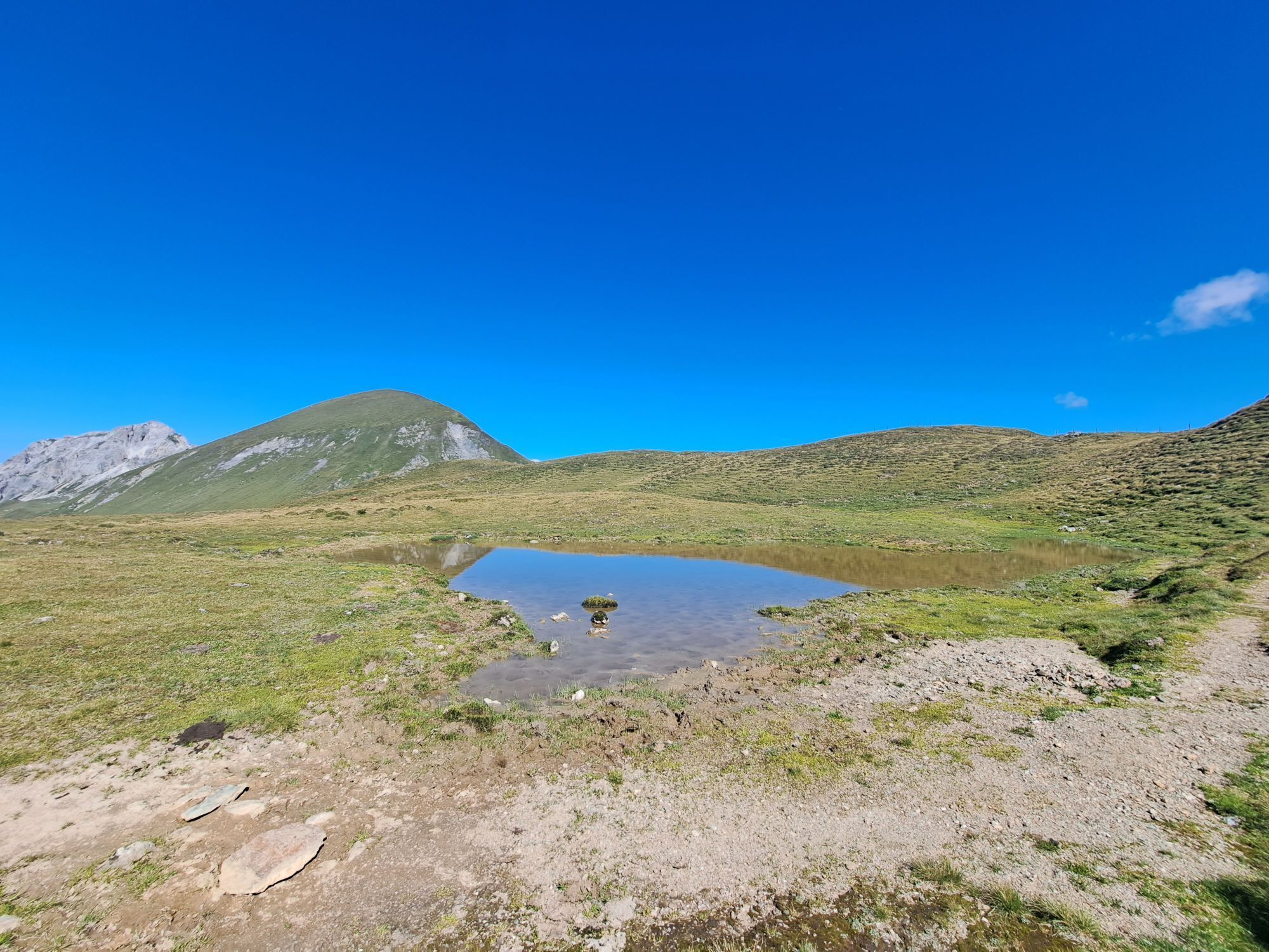
This hike starts at Hallmoosalm in Hüttschlag. After a short stretch on the service road, you branch off and follow the alpine trail to the Karteisalm (not managed). Across alpine meadows (particularly beautiful in early summer when the alpine roses bloom) you stroll comfortably up to the Karteistörl. From here a magnificent view opens up to the Tappenkarsee, the largest mountain lake in the Alps. According to legend, this is connected to the Schuhflickersee. In the Schuhflickersee, a wagon wheel that fell into the Tappenkarsee is said to have been found... In front of you is the mighty Draugstein, one of three limestone mountains in our Großarltal, behind it the Hohe Tauern with the first three-thousanders, below you the largest mountain lake in the Alps - hiker's heart, what more could you want? Over the Alpine Club path it goes through the rear Tappenkar to Klingspitz. Surefootedness and a head for heights are prerequisites for reaching the summit - but you will be rewarded with a magnificent panoramic view of the surrounding mountain world.
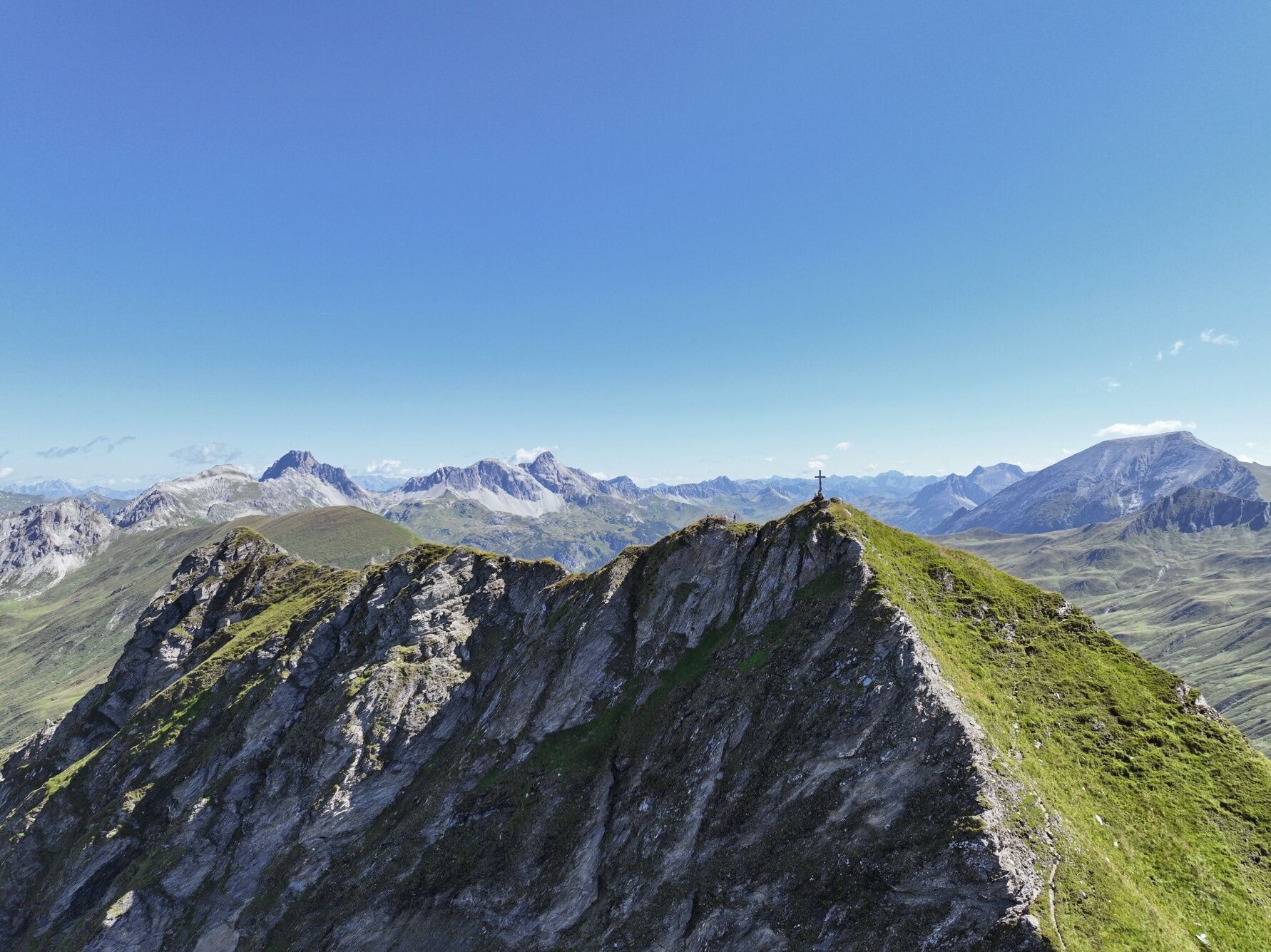
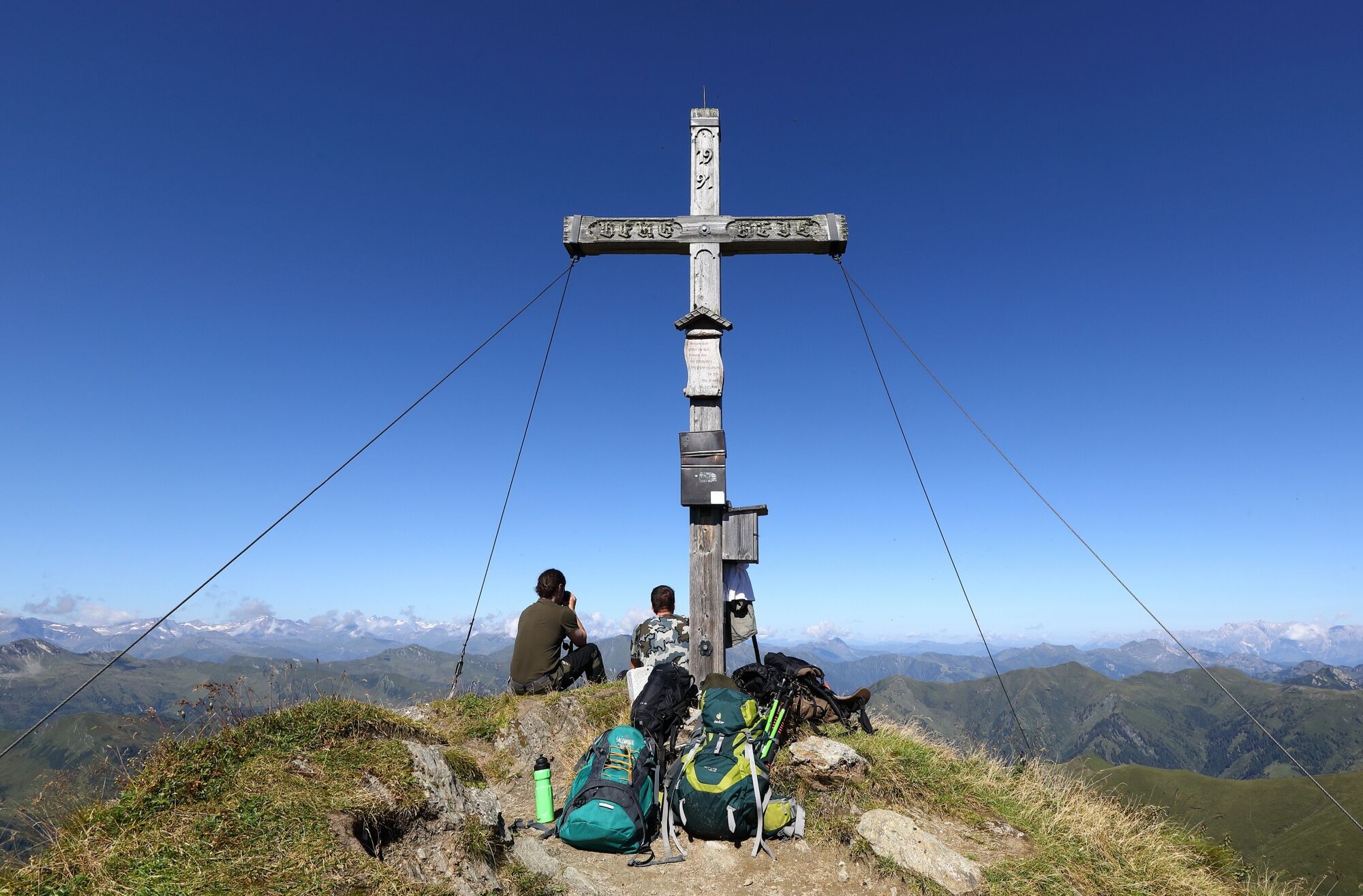
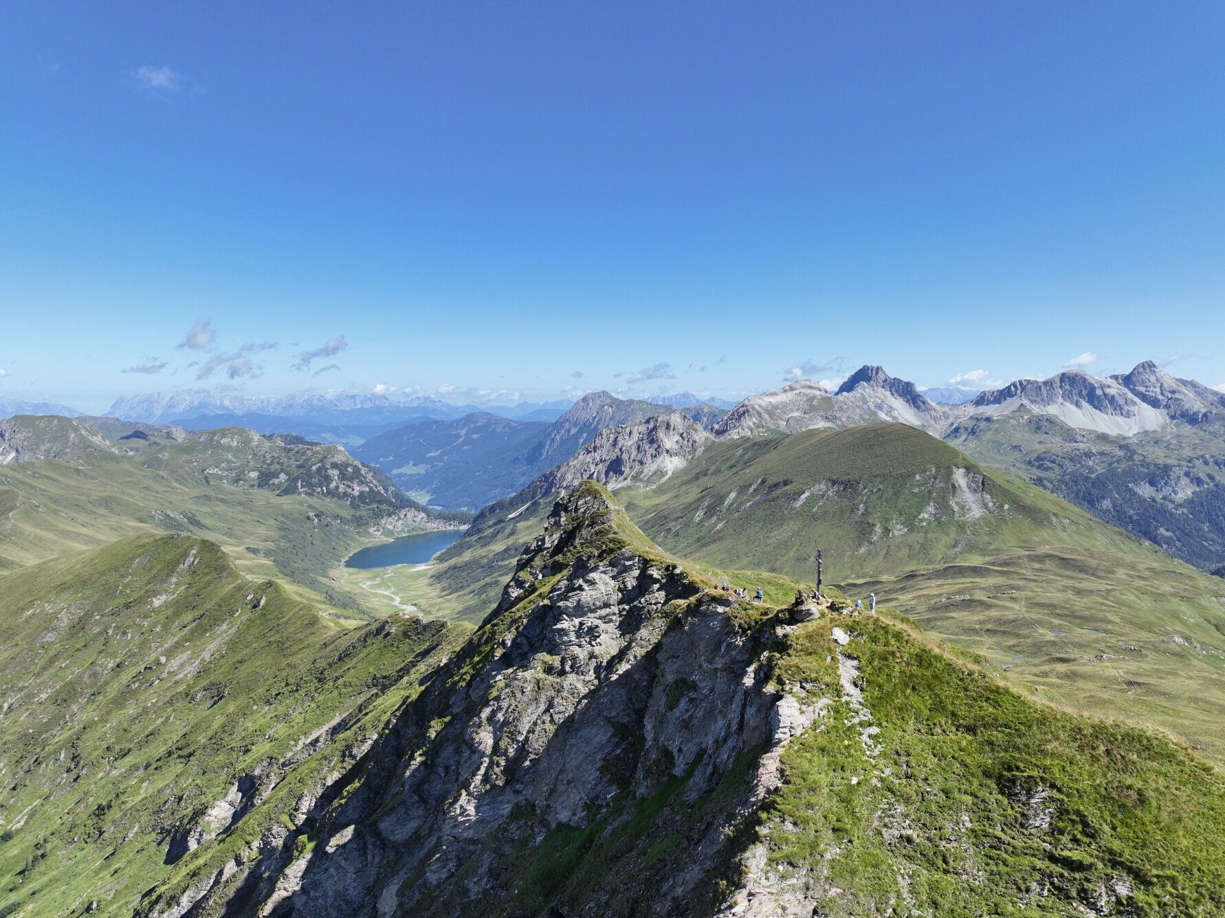

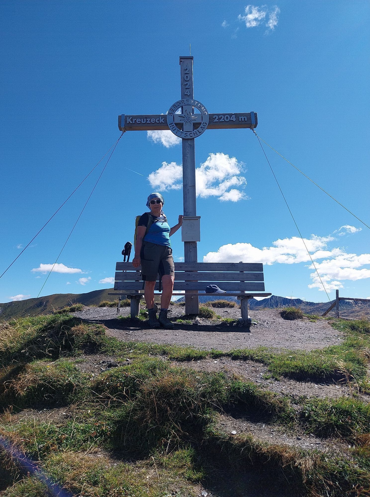
Drive by car or hiking taxi via the Seilsitzberg service road (Hüttschlag/Karteis) to the Hallmoosalm, 1,300 m (not managed) - parking available. Ascent via path no. 53 to the Karteisalm, 1,661 m (not managed - about 1 hour) and further through alpine meadows to the Karteistörl, 2,145 m (about 1 1/2 hours). From here, follow the Alpine Club path no. 702 through the rear Tappenkar and then follow the signs on the narrow trail to Klingspitz, 2,433 m (about 2 hours).
Return the same way.
Ano
Ano
Hiking boots with profiled sole, hiking map
Surefootedness and a head for heights required!
If you return on the same path, you will not pass any managed alpine huts - so bring enough to drink!
Drive by car or hiking taxi in Hüttschlag in the Karteis district on the Seilsitzberg service road to Hallmoosalm in Hüttschlag. You can also take the Postbus line no. 540 to the "Karteis" stop and walk from there (about 1 hour to Hallmoosalm).
Hallmoosalm parking lot - there are parking spaces directly at Hallmoosalm & more further up.
The circular hike via Hierzeck and Glettenalm is recommended for experienced hikers.
Získejte přehled
Vždy živě na místě s více než 9 500 webkamerami. bergfex Jako uživatel Pro si nyní můžete zobrazit odpovídající webové kamery pro mnoho prohlídek v aplikaci prohlídky z. Můžete si tak přímo prohlédnout aktuální podmínky.


Oblíbené prohlídky v okolí
-
5.0
Hüttschlag: Karteistörl - Tappenkarsee - Draugsteintörl - Draugsteinalmen
středníTuristika 13.5 km -
4.9
Großarl: Aualm - Liechtensteinkopf - Aukopf - Schuhflicker - Schuhflickersee
středníTuristika 5.84 km -
5.0
Großarl: Alpine pasture circuit in Ellmautal
středníTuristika 9.69 km -
4.1
Tappenkarsee Kleinarl
středníTuristika 9.11 km -
4.7
Großarl: Mooslehenalm – Niggeltalalm – Viehhausalm
středníTuristika 5.44 km -
4.5
Gasteiner Höhenweg von Bad Gastein nach Bad Hofgastein
světloTuristika 8.58 km -
4.9
Großarl: Bichlalm
středníMountainbike 18.9 km -
4.5
Mountain route from the Kötschachtal to the natural jewel Reedsee
středníTuristika 12.5 km -
4.4
"Elendrunde" Kleinelend Valley - Zwischenelendscharte - Großelend Valley
středníTuristika 21.9 km -
4.7
Kölnbreinspeicher bis Osnabrücker Hütte
světloTuristika 15.9 km
Pěší turistika a stopování


Nenechte si ujít nabídky a inspiraci pro vaši příští dovolenou
Vaše e-mailová adresa byl přidán do poštovního seznamu.





