


High-altitude hike: Grafenberg - Gabel - Penkkopf - Kleinarl/Summer 2026: Grafenberg Cable Car closed due to construction of a new lift
Fotografie našich uživatelů

 © Johannes PetschkVytvořeno dne 21.06.2025
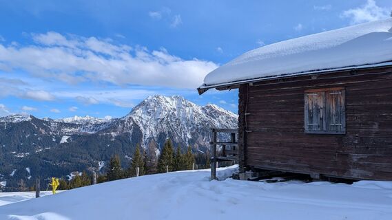
 © PfefferamVytvořeno dne 13.02.2026
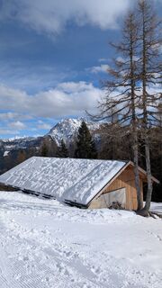 © PfefferamVytvořeno dne 13.02.2026
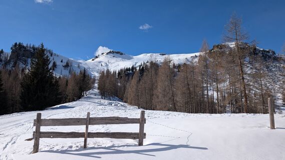 © PfefferamVytvořeno dne 13.02.2026
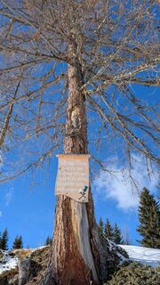 © PfefferamVytvořeno dne 13.02.2026
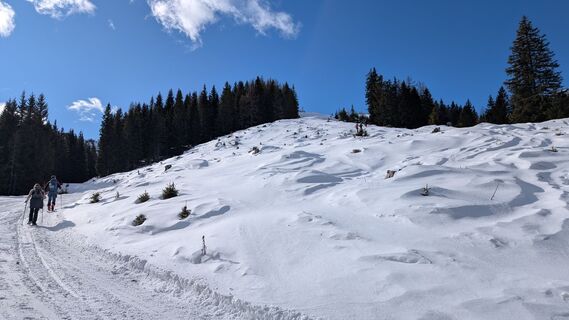 © PfefferamVytvořeno dne 13.02.2026
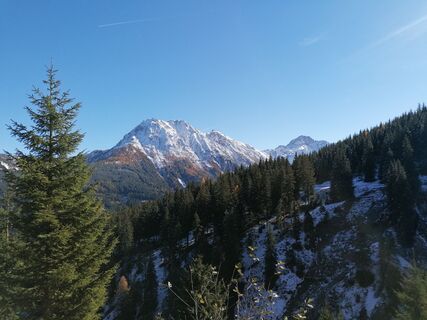 © R. HVytvořeno dne 04.11.2025
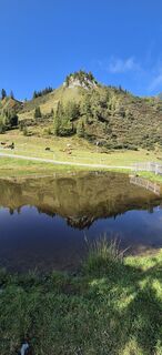 © BruunooVytvořeno dne 12.09.2025
 © BruunooVytvořeno dne 12.09.2025
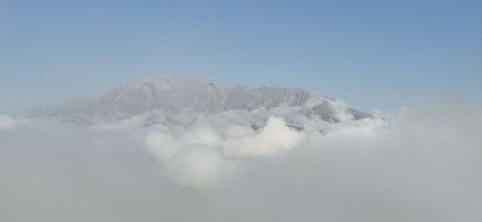 © BruunooVytvořeno dne 12.09.2025
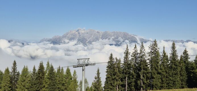 © BruunooVytvořeno dne 12.09.2025
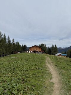
 © Noah RoeVytvořeno dne 07.09.2025
 © Maximilian PichlerVytvořeno dne 08.08.2025
 © Maximilian PichlerVytvořeno dne 08.08.2025
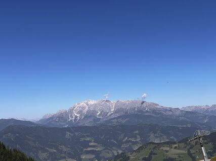 © Maximilian PichlerVytvořeno dne 08.08.2025
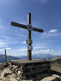 © Noah RoeVytvořeno dne 14.05.2025
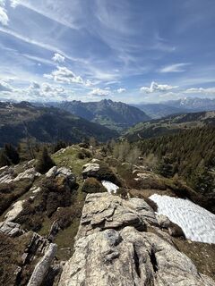 © Noah RoeVytvořeno dne 14.05.2025
 © Noah RoeVytvořeno dne 14.05.2025
 © Wanda FournierVytvořeno dne 09.03.2025
 © Wanda FournierVytvořeno dne 09.03.2025
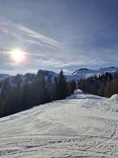
 © Herbert DygruberVytvořeno dne 22.01.2025
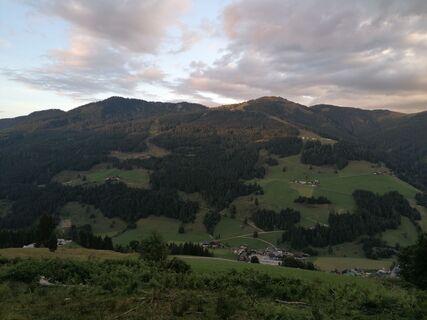
 © Dragoljub IlicVytvořeno dne 02.09.2023
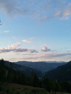 © Dragoljub IlicVytvořeno dne 02.09.2023
 © Dragoljub IlicVytvořeno dne 02.09.2023
 © Dragoljub IlicVytvořeno dne 02.09.2023
 © Dragoljub IlicVytvořeno dne 02.09.2023
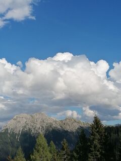 © Dragoljub IlicVytvořeno dne 02.09.2023
 © Dragoljub IlicVytvořeno dne 02.09.2023
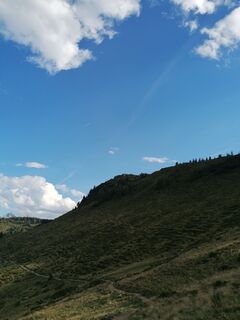 © Dragoljub IlicVytvořeno dne 02.09.2023
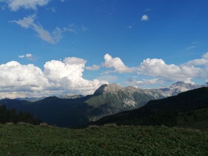 © Dragoljub IlicVytvořeno dne 02.09.2023
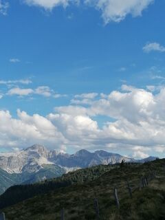 © Dragoljub IlicVytvořeno dne 02.09.2023
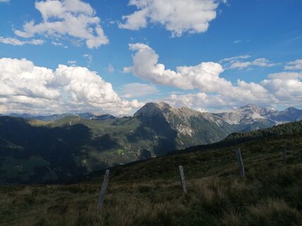 © Dragoljub IlicVytvořeno dne 02.09.2023
 © Dragoljub IlicVytvořeno dne 02.09.2023
 © Dragoljub IlicVytvořeno dne 02.09.2023
 © Dragoljub IlicVytvořeno dne 02.09.2023
 © Dragoljub IlicVytvořeno dne 02.09.2023
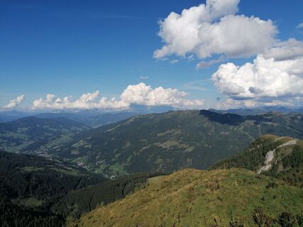 © Dragoljub IlicVytvořeno dne 02.09.2023
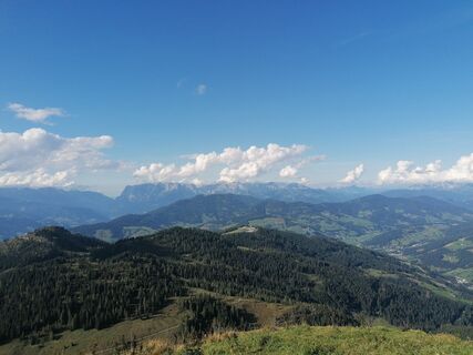 © Dragoljub IlicVytvořeno dne 02.09.2023
 © Dragoljub IlicVytvořeno dne 02.09.2023
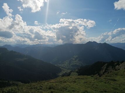 © Dragoljub IlicVytvořeno dne 02.09.2023
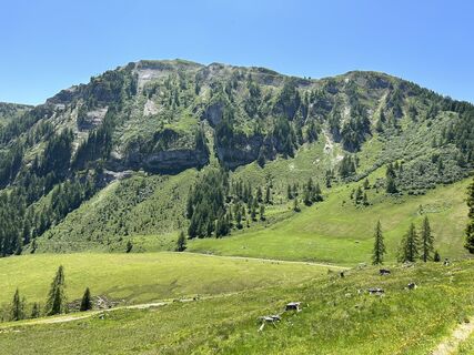
 © Mieke SeysVytvořeno dne 25.06.2023
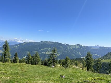 © Mieke SeysVytvořeno dne 25.06.2023
 © Mieke SeysVytvořeno dne 25.06.2023
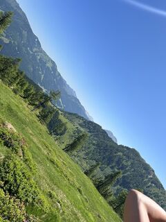 © Mieke SeysVytvořeno dne 25.06.2023
 © Mieke SeysVytvořeno dne 25.06.2023
 © Mieke SeysVytvořeno dne 25.06.2023
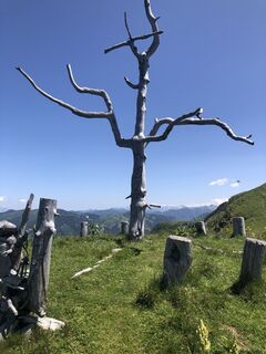 © Johannes PetschkVytvořeno dne 21.06.2025
 © Markus KrennVytvořeno dne 28.10.2022


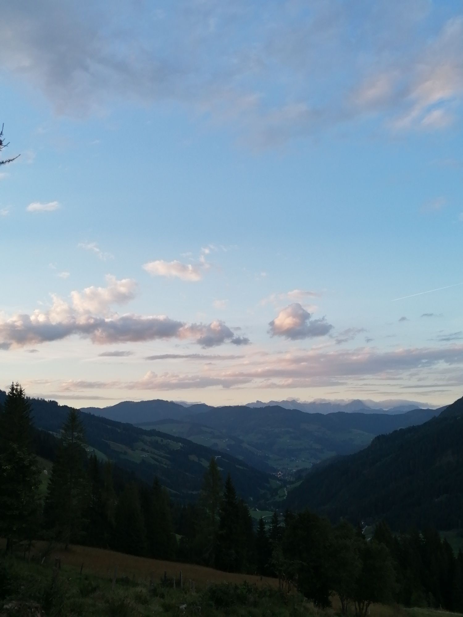


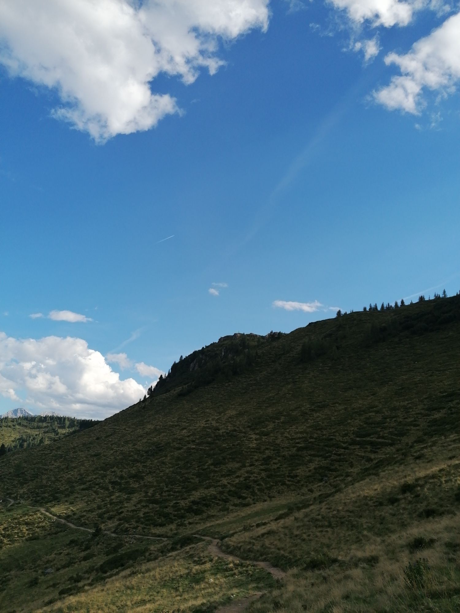


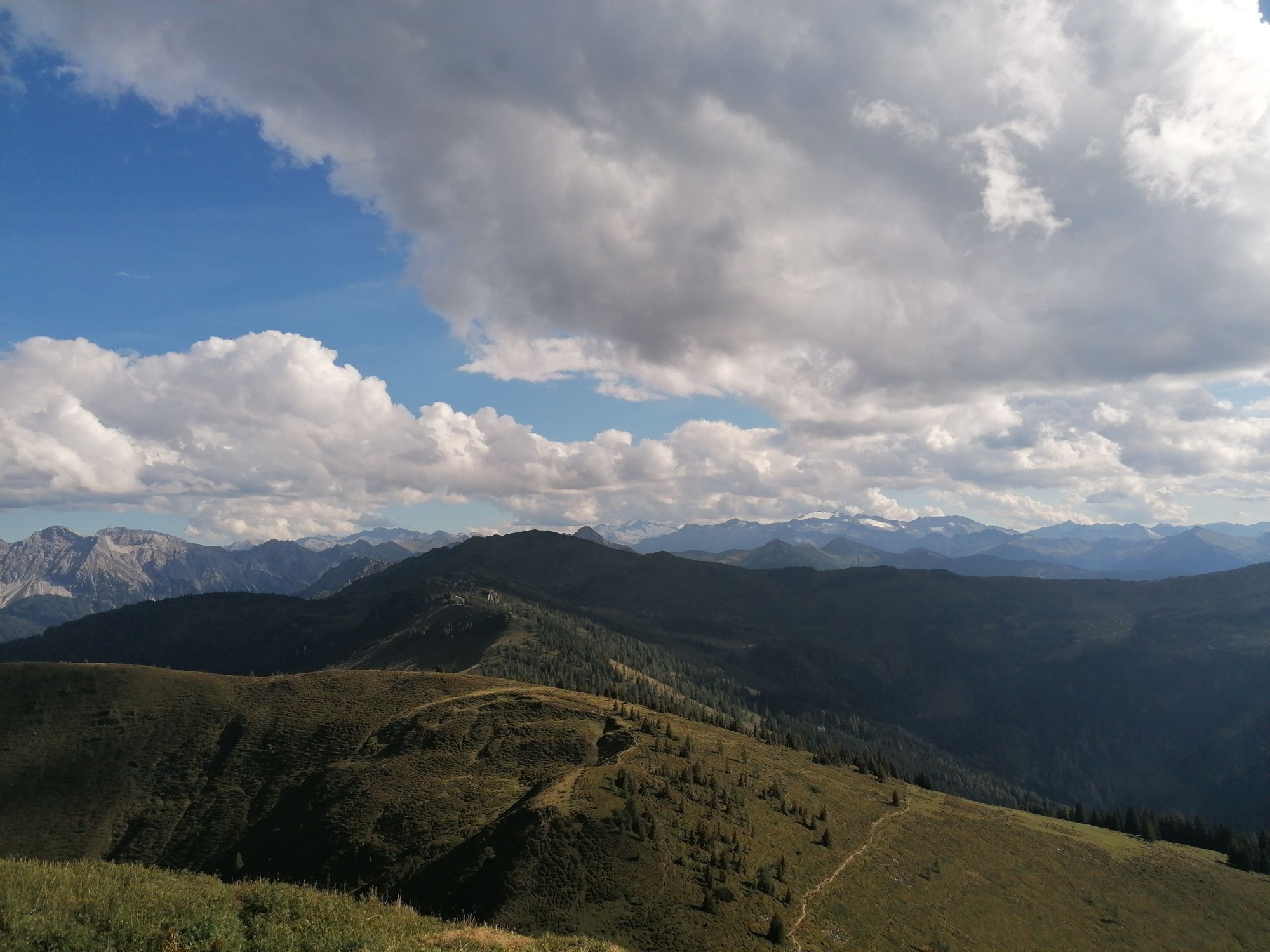


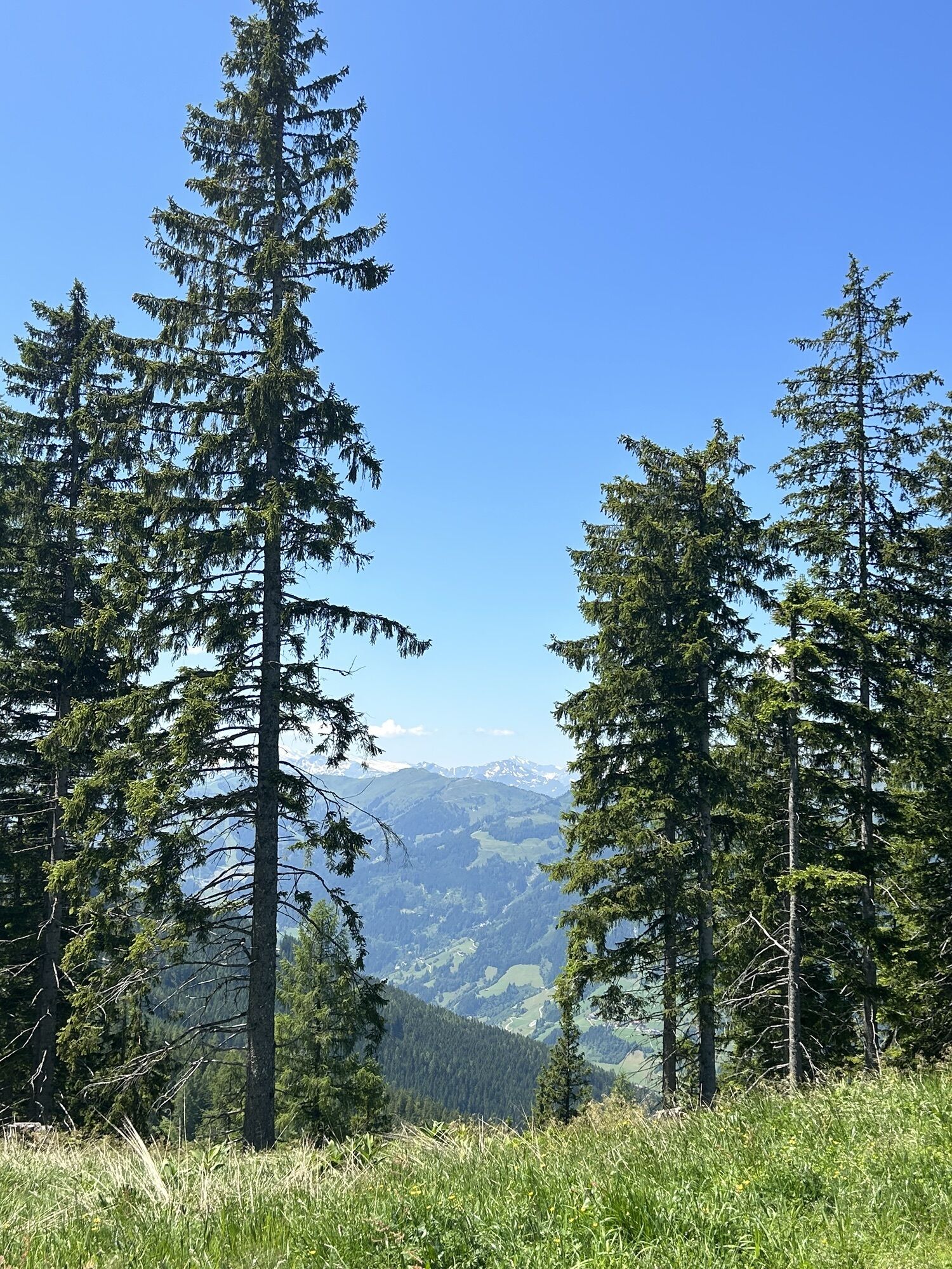

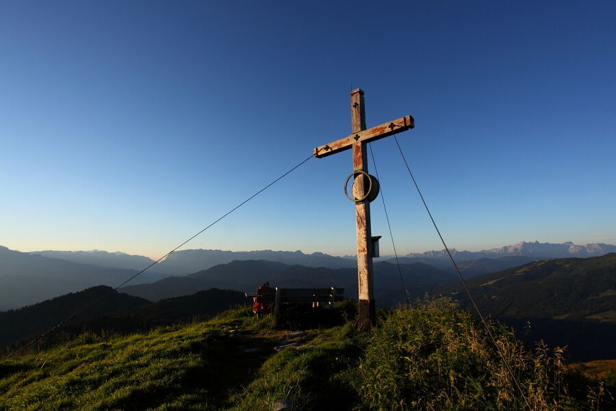
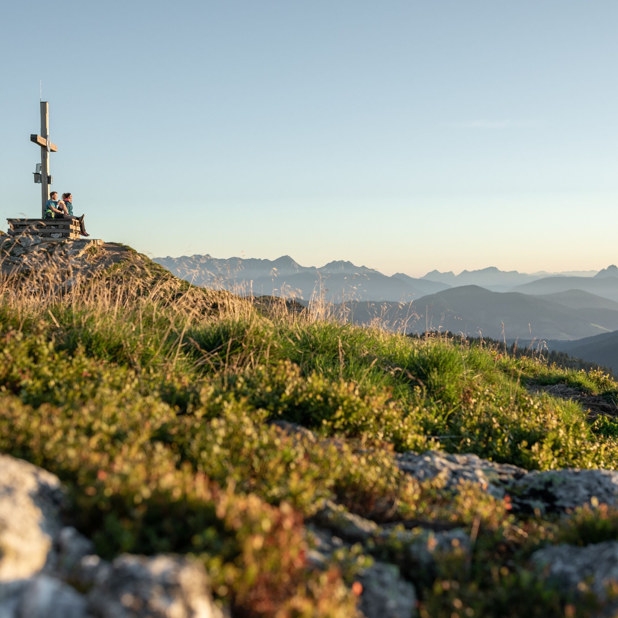
From the Grafenberg mountain station, you first descend to the Hachaualm and then follow hiking trails No. 713 and No. 712 to the Auhofalm (not operated). From here, a trail goes relatively steeply to...
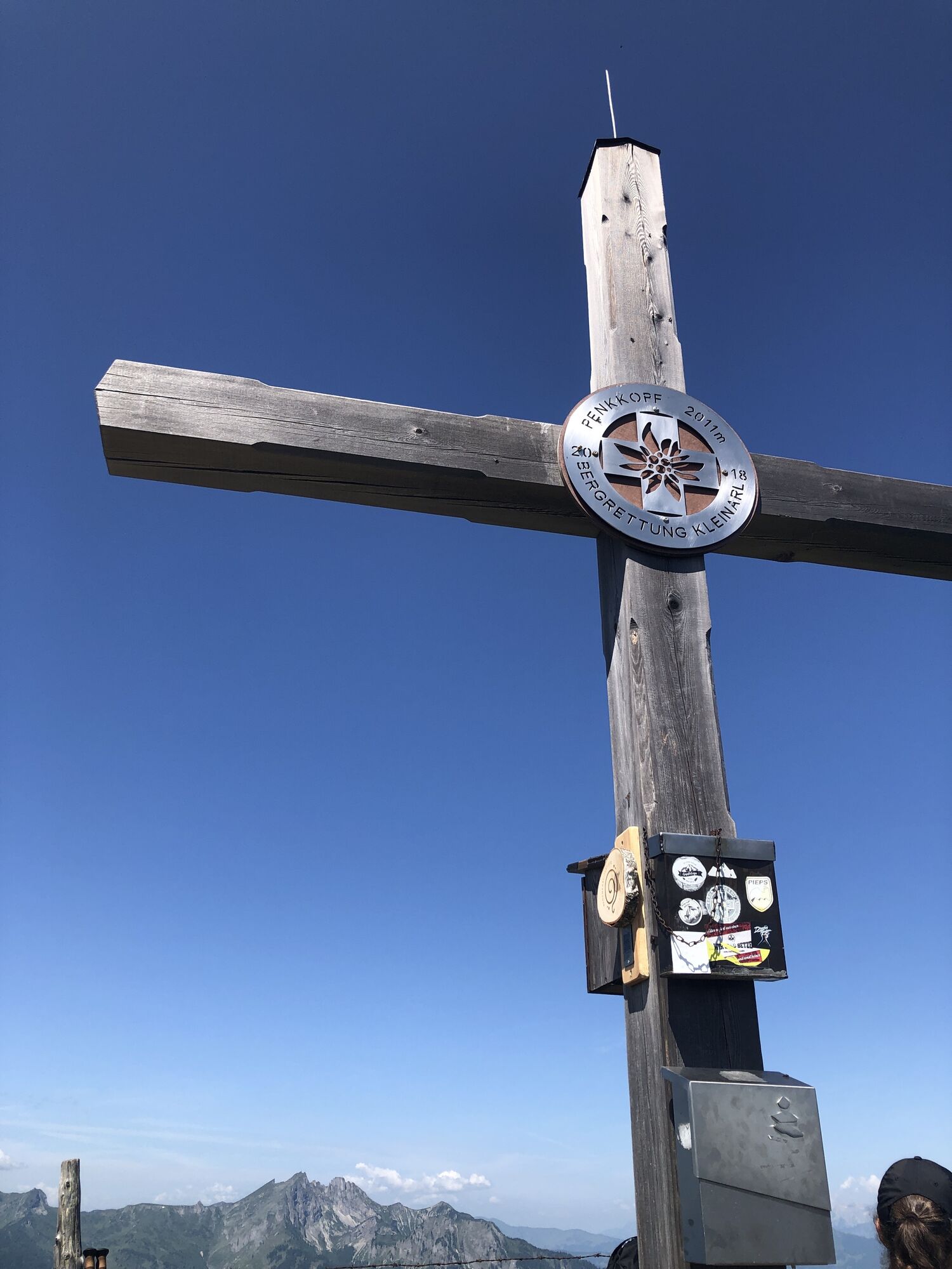
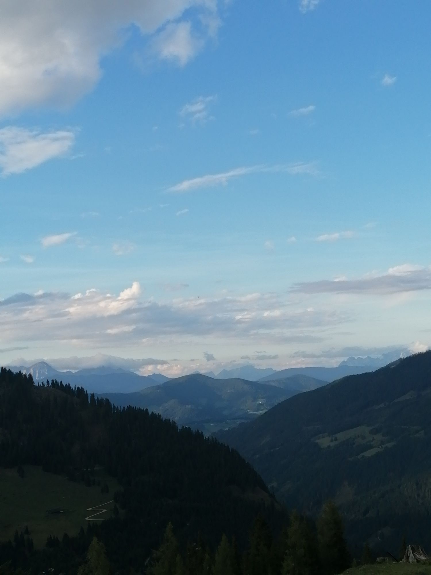
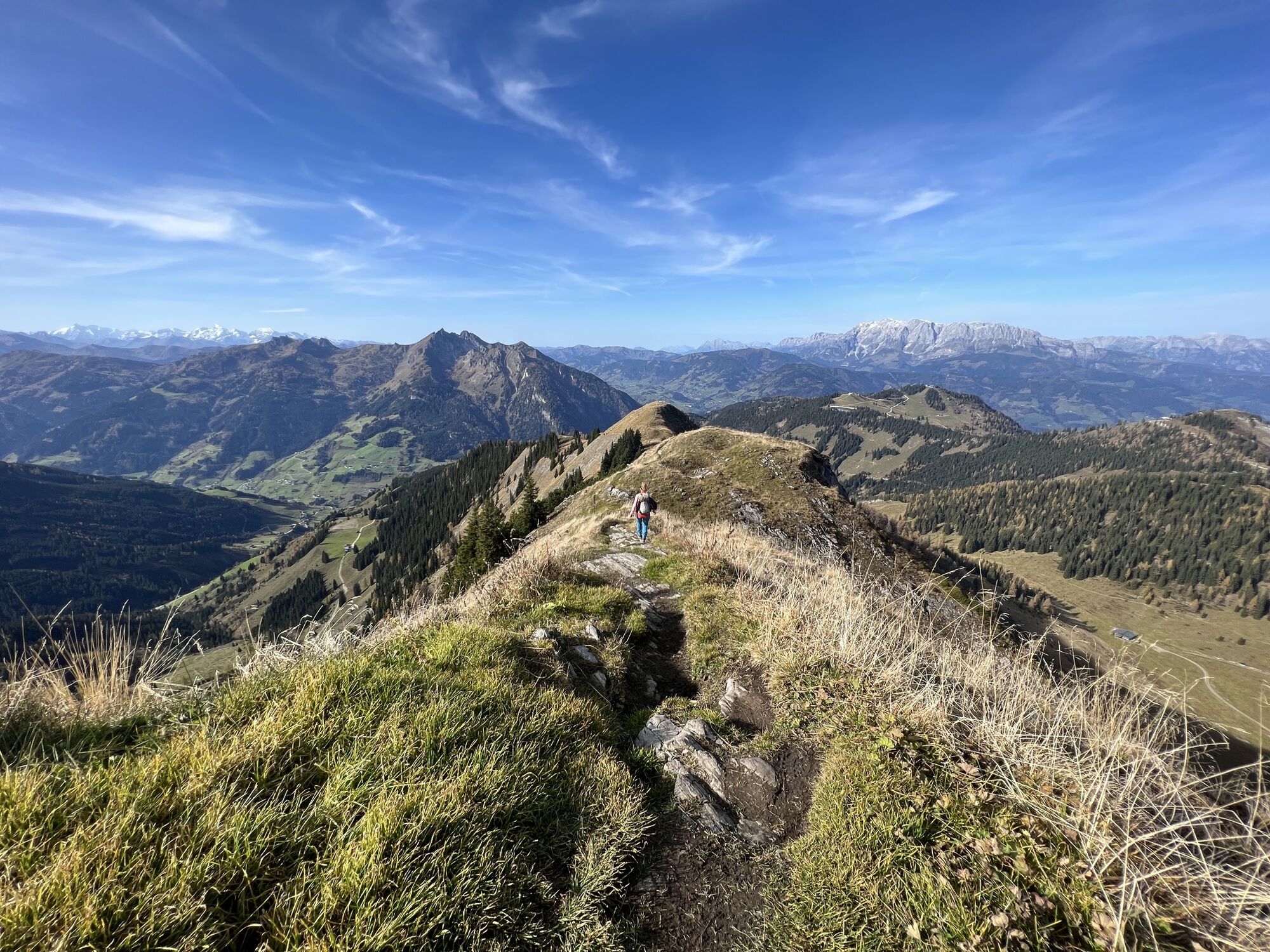
From the summit of the Gabel, descend a few meters back to hiking trail No. 712 and follow it to the fork towards the Penkkopf. From the Penkkopf, an easy trail leads to the Kleinarler hut.
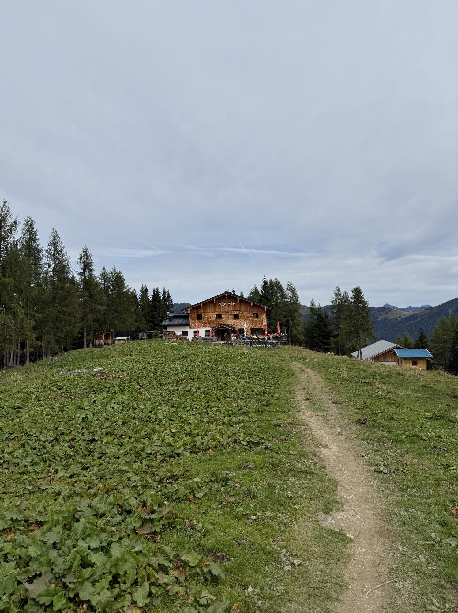
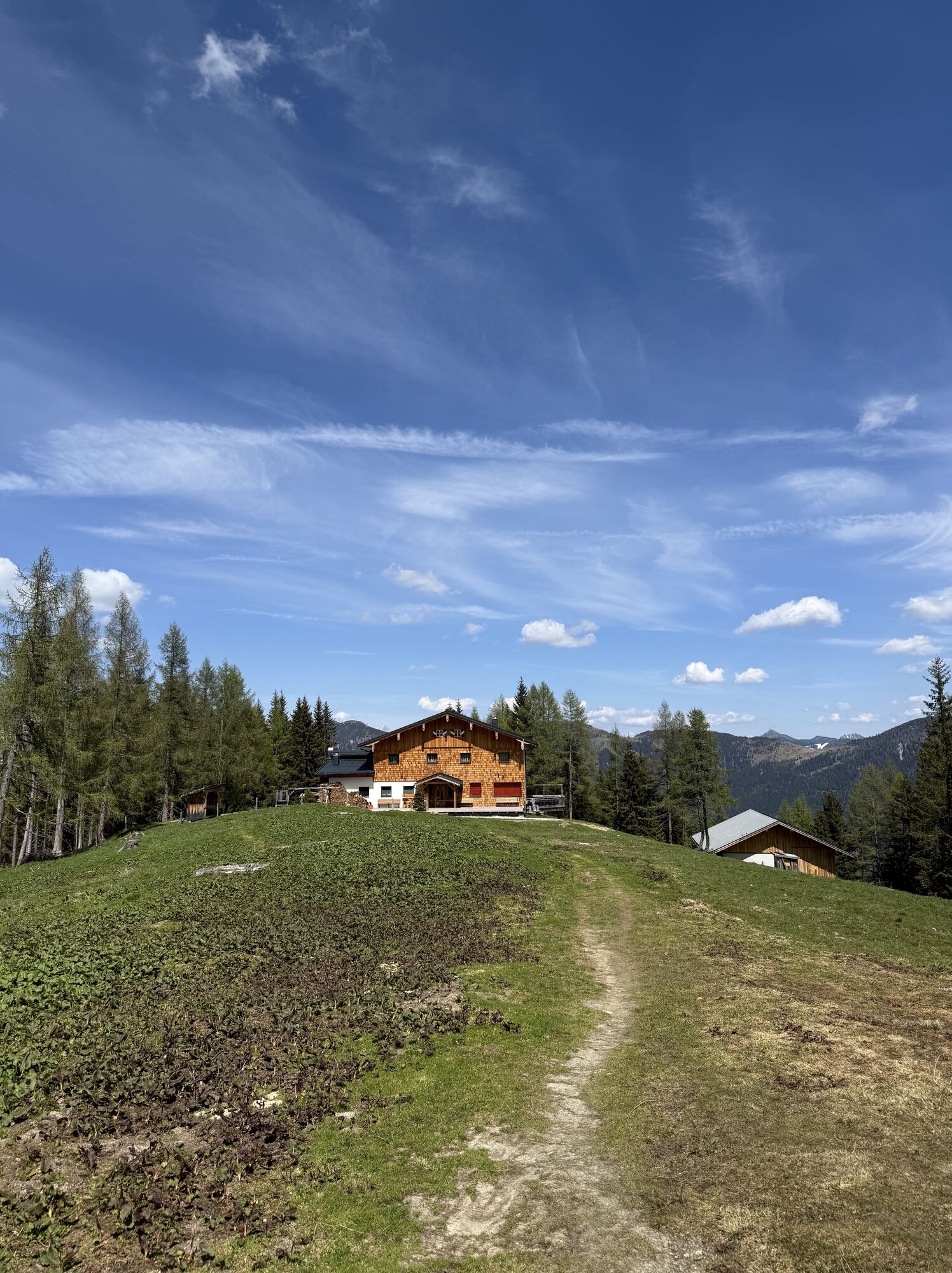
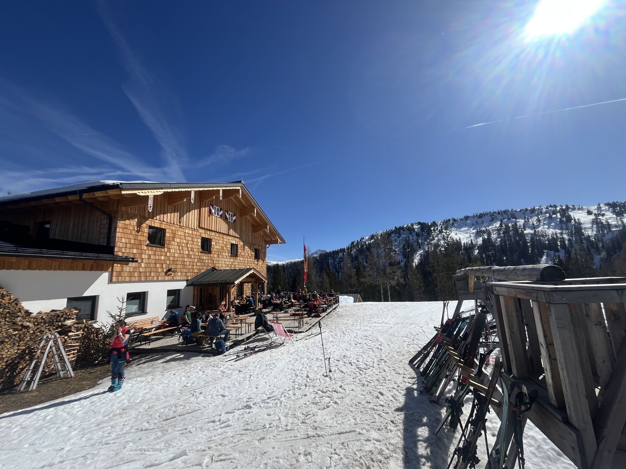
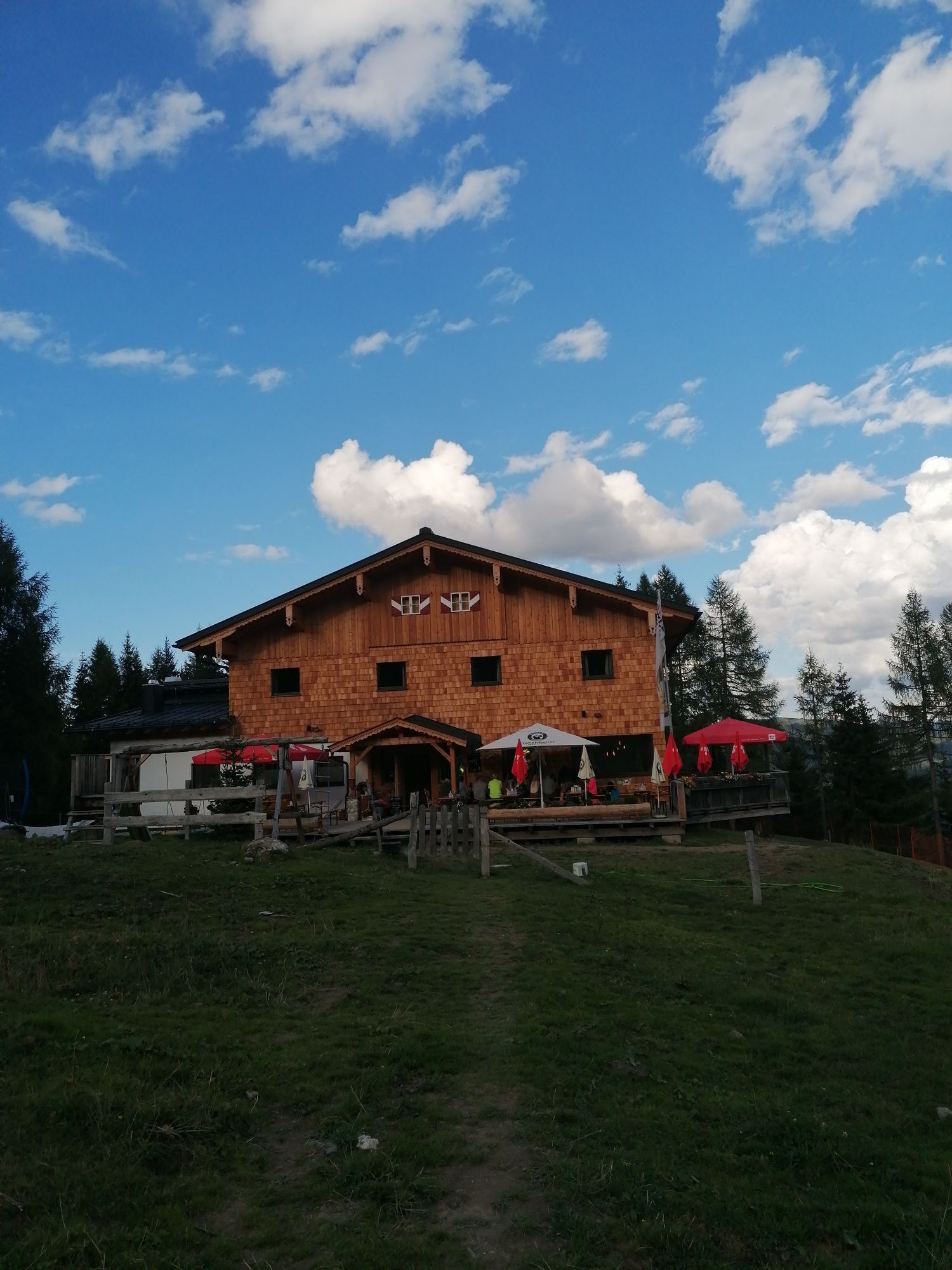
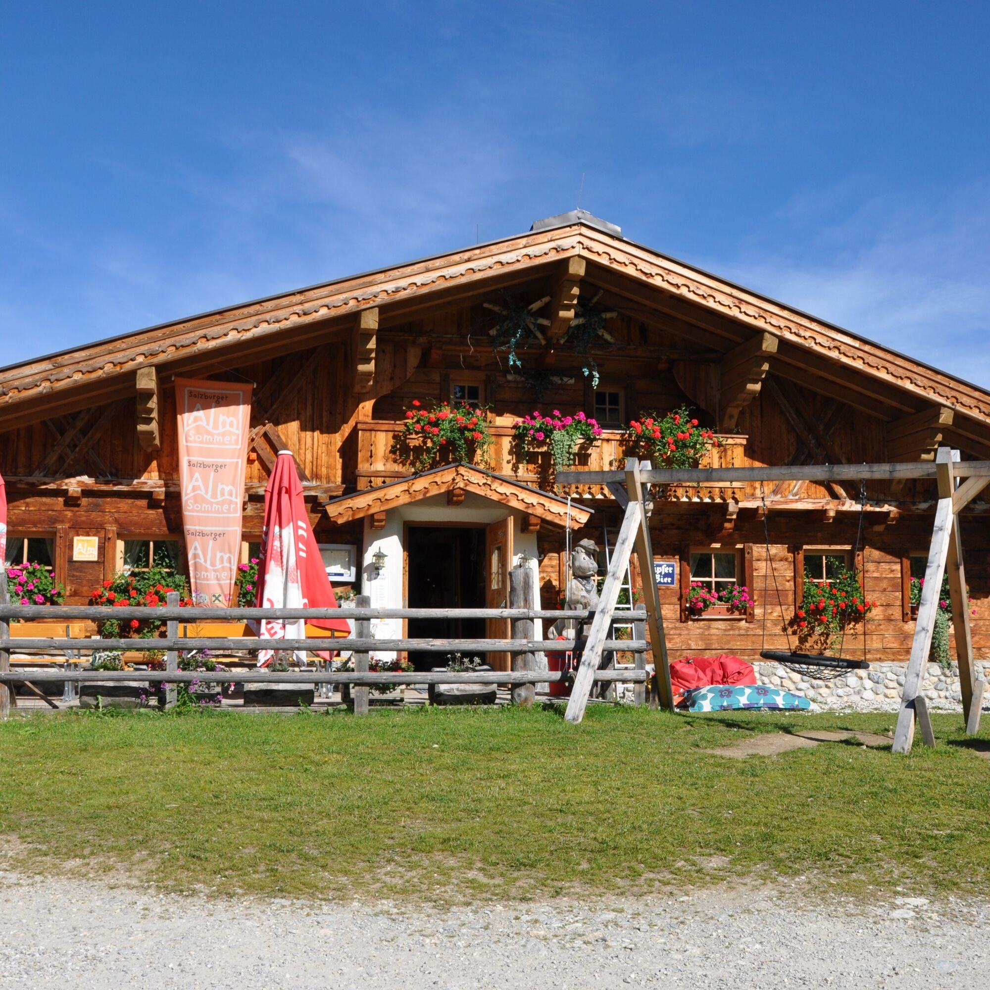
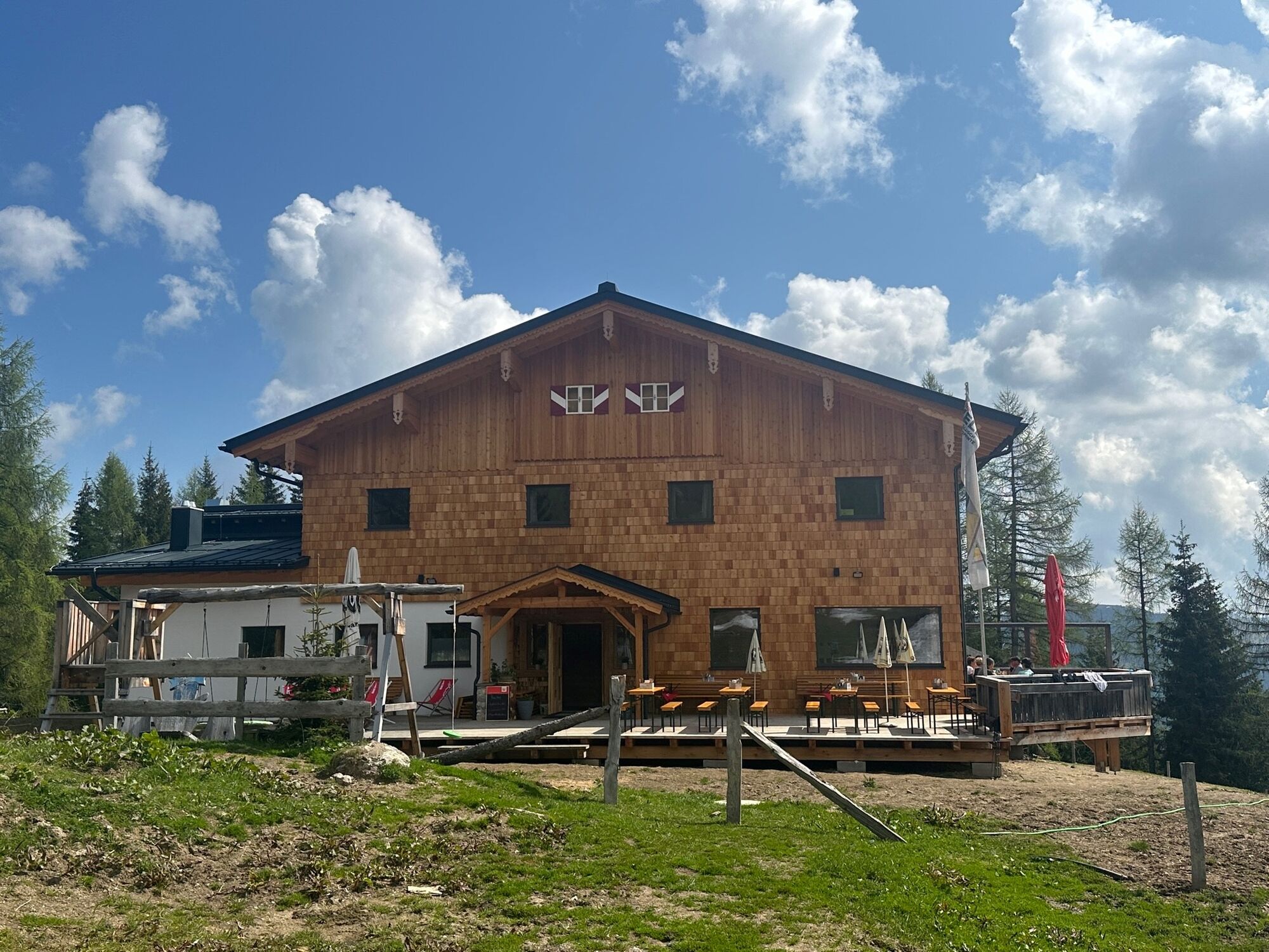
The hut is beautifully nestled between Penkkopf and Gründegg high above Kleinarl. Your culinary needs are also taken care of... from Kaspressknödelsuppe to the board snack and Kaiserschmarrn – hikers are spoiled with popular hut classics.
After a cozy snack at the Kleinarler hut, continue along hiking trail No. 712 over meadows and through light forest downhill to the center of Kleinarl, where the hiking bus stop is located.

From the Kleinarler hut, continue on hiking trail No. 712 over meadows and through light forest downhill to the Hirschleiten service road, which becomes Ployergasse and leads directly into the center of Kleinarl, where the hiking bus stop is located.
Ano
Ano
sturdy footwear
To Wagrain to the Grafenbergbahn.
By hiking bus to the Grafenbergbahn in Wagrain.
Car park at the Grafenbergbahn.
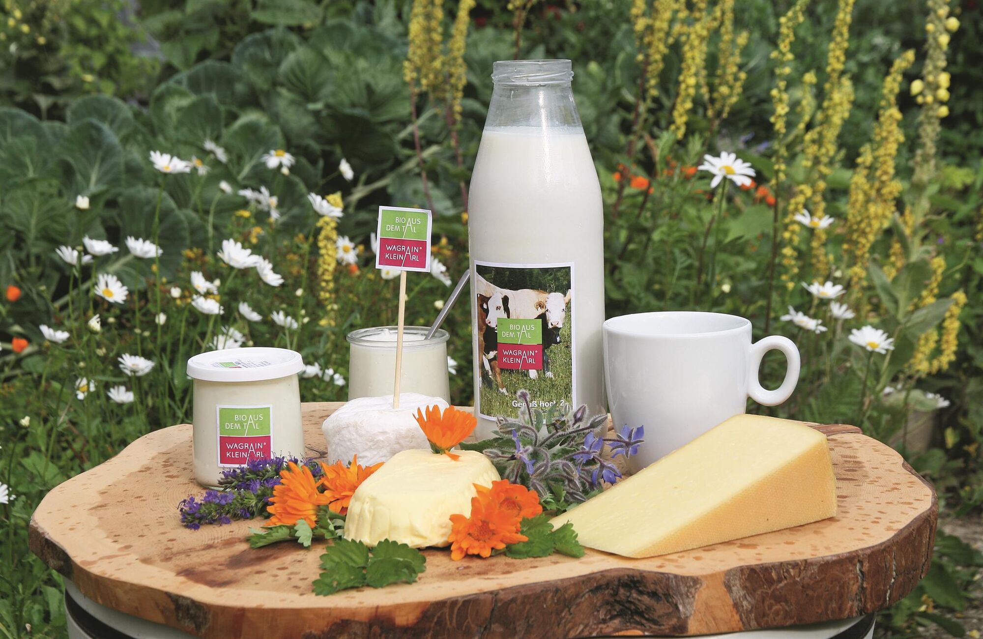
Only 350m from the Hirschleiten car park, at the end of the forest road, you will find the farm shop of Bio aus dem Tal. Here you can buy various cheeses, dairy products, and sausages for your snack during the hike or for home. Please have the exact amount ready.
Webové kamery z prohlídky
Gernkogel - Alpendorf St. Johann
Absolut Shuttle Bergstation
Chill House / Jib Park
Bergstation Bubble Shuttle - Powder Shuttle
St.Johann-Alpendorf Gernkogel
Gernkogel - Alpendorf St. Johann
Gernkogel - Alpendorf St. Johann
Lumberjack Shuttle
Wagrain / Hotel Wagrainerhof
Mooslehen Berg
Großarl - Loosbühelalm
Gernkogel - Alpendorf St. Johann
Gernkogel - Alpendorf St. Johann
Gernkogel - Alpendorf St. Johann
Gernkogel - Alpendorf St. Johann
Snow Space Salzburg - woom bike area

Oblíbené prohlídky v okolí
- 4,9
Großarl: Aualm - Liechtensteinkopf - Aukopf - Schuhflicker - Schuhflickersee
středníTuristika 5,84 km - 5,0
Großarl: Alpine pasture circuit in Ellmautal
středníTuristika 9,69 km - 4,1
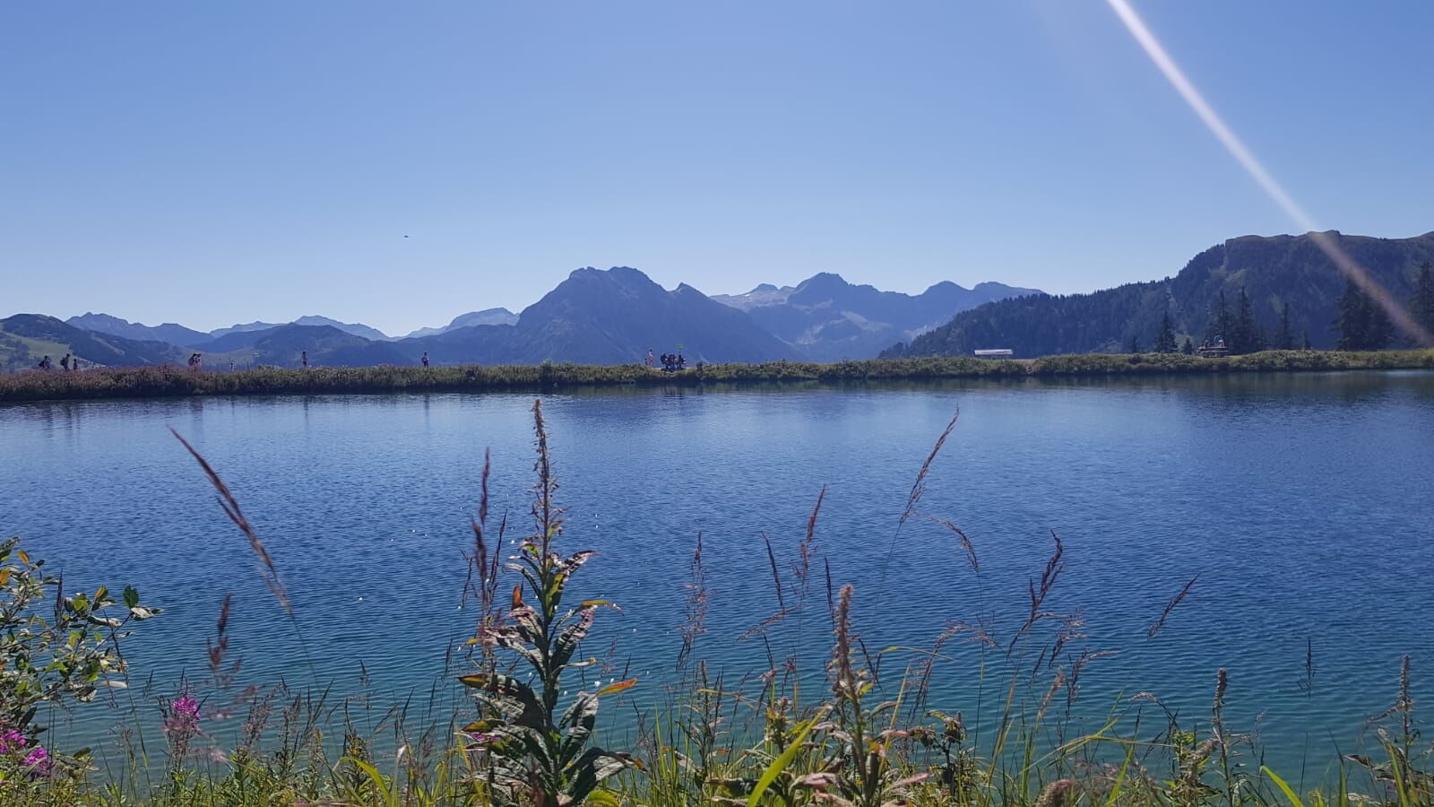
Tappenkarsee Kleinarl
středníTuristika 9,11 km - 4,6
Ski route Lackenkogel
středníLyžařská trasa 7,82 km - 4,8
Großarl: Mooslehenalm – Niggeltalalm – Viehhausalm
středníTuristika 5,44 km - 4,5
Großarl: Saukaralm - Saukarkopf - Gerstreitalm
středníTuristika 9,11 km - 4,2
Großarl: Unterwandalm - Karseggalm - Breitenebenalm
středníTuristika 5,93 km - 4,5
Mosermandl Windischscharte, Salzburger Land/Österreich
heavyTuristika 14,6 km - 4,8
Liechtensteinklamm mit Helix
světloTematická stezka 3 km - 5,0
Hüttschlag: Karteistörl - Tappenkarsee - Draugsteintörl - Draugsteinalmen
středníTuristika 13,5 km

Pěší turistika a stopování


Nenechte si ujít nabídky a inspiraci pro vaši příští dovolenou
Vaše e-mailová adresa byl přidán do poštovního seznamu.