






Hüttschlag: Hubalm - Hirschgrubenalm
Úroveň obtížnosti: S0
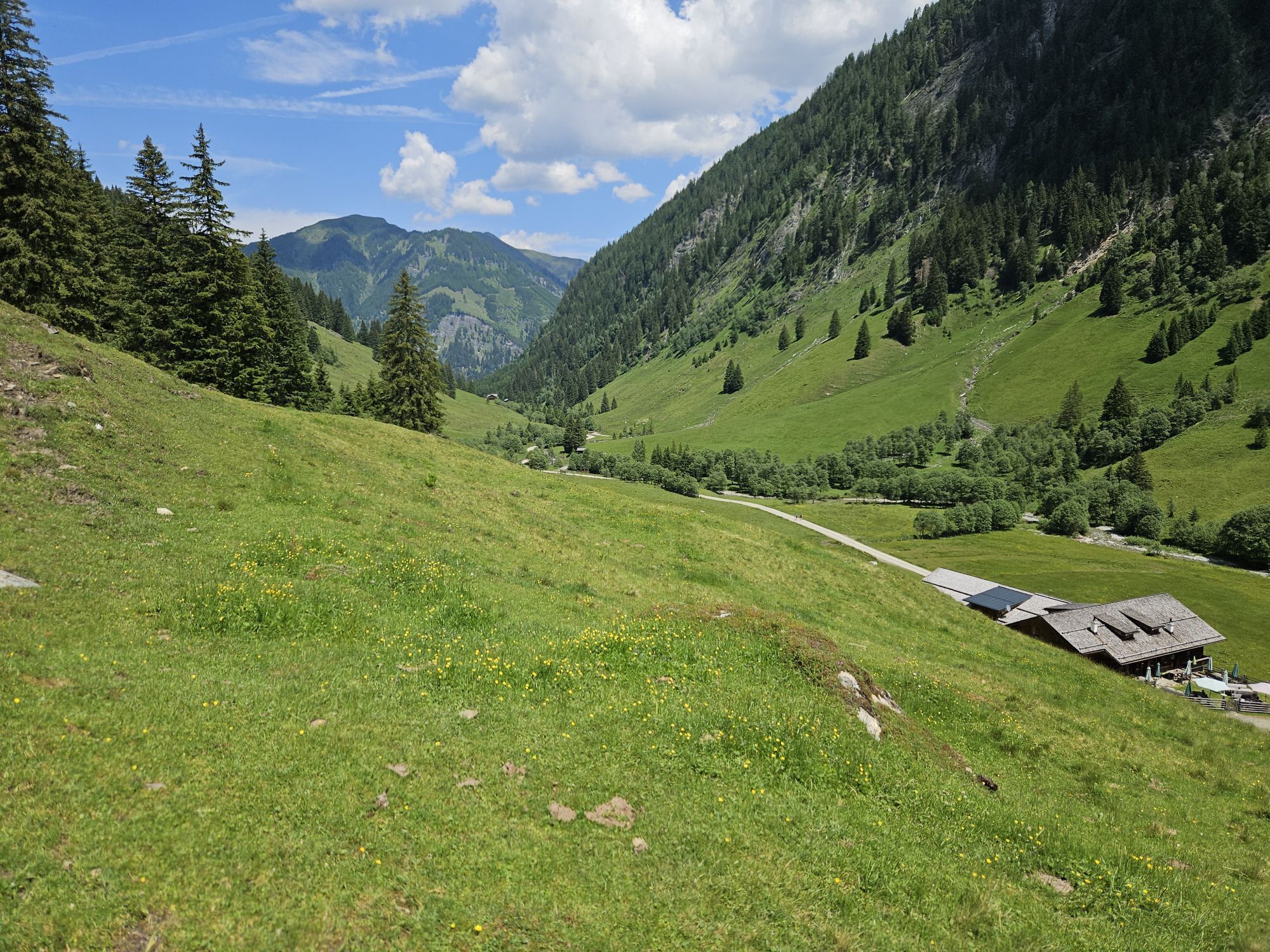
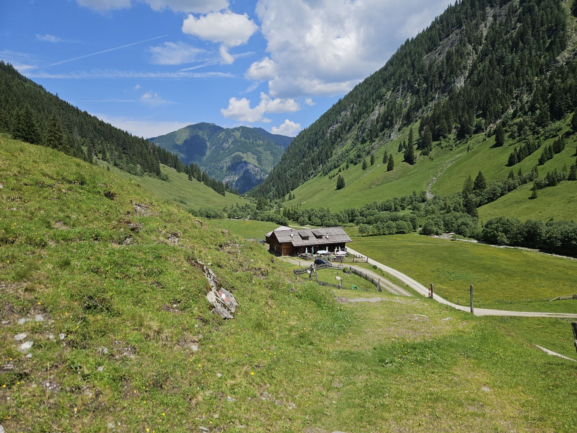
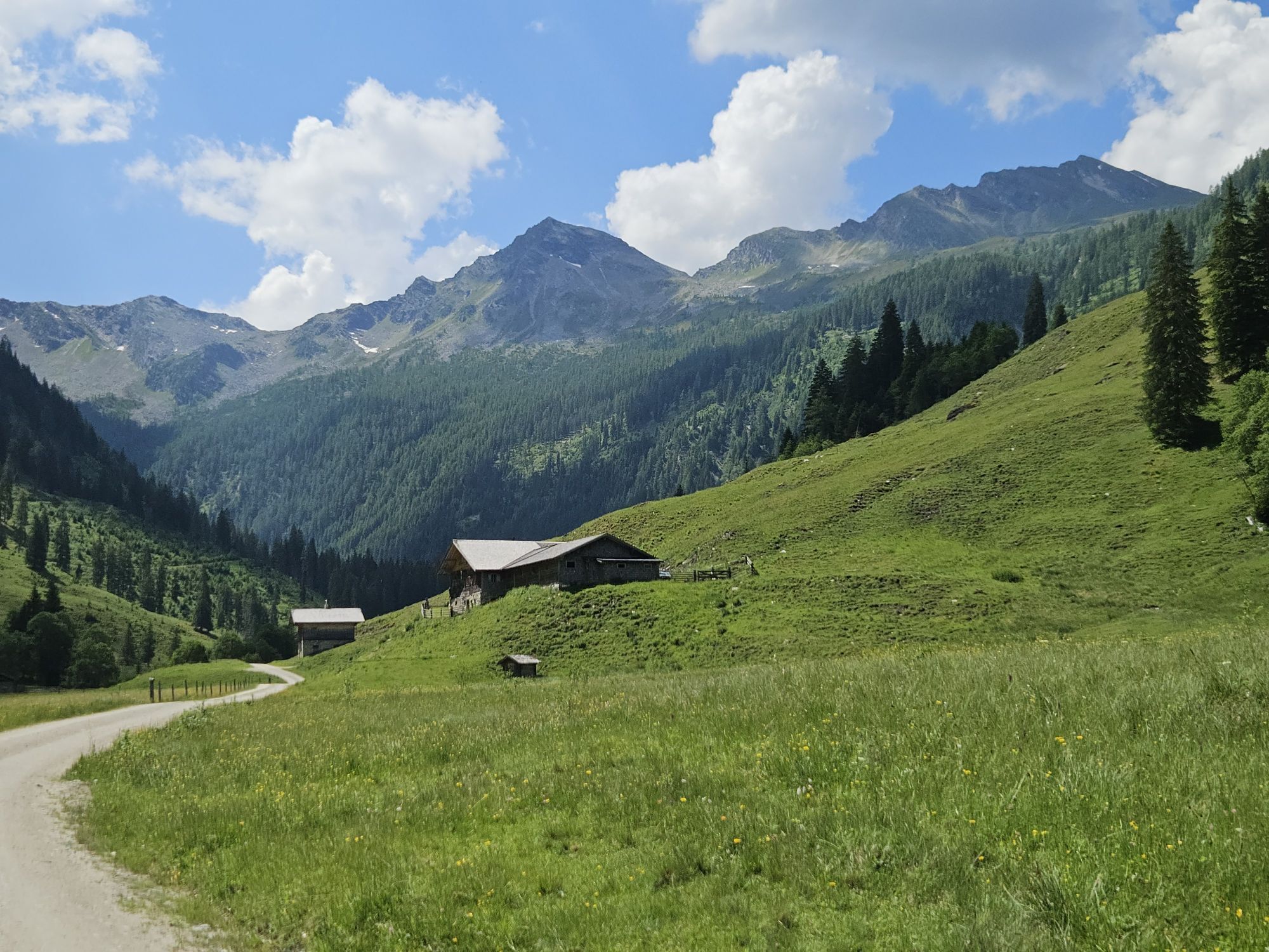
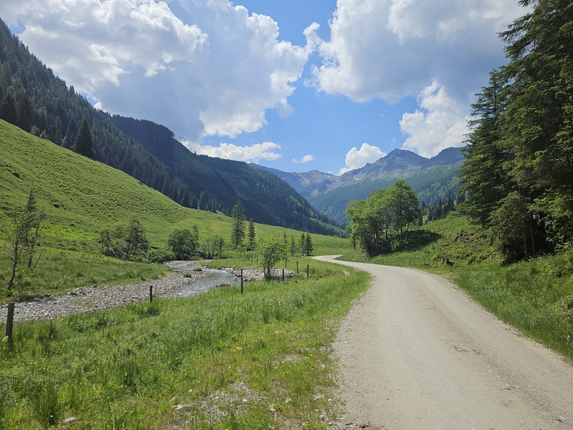
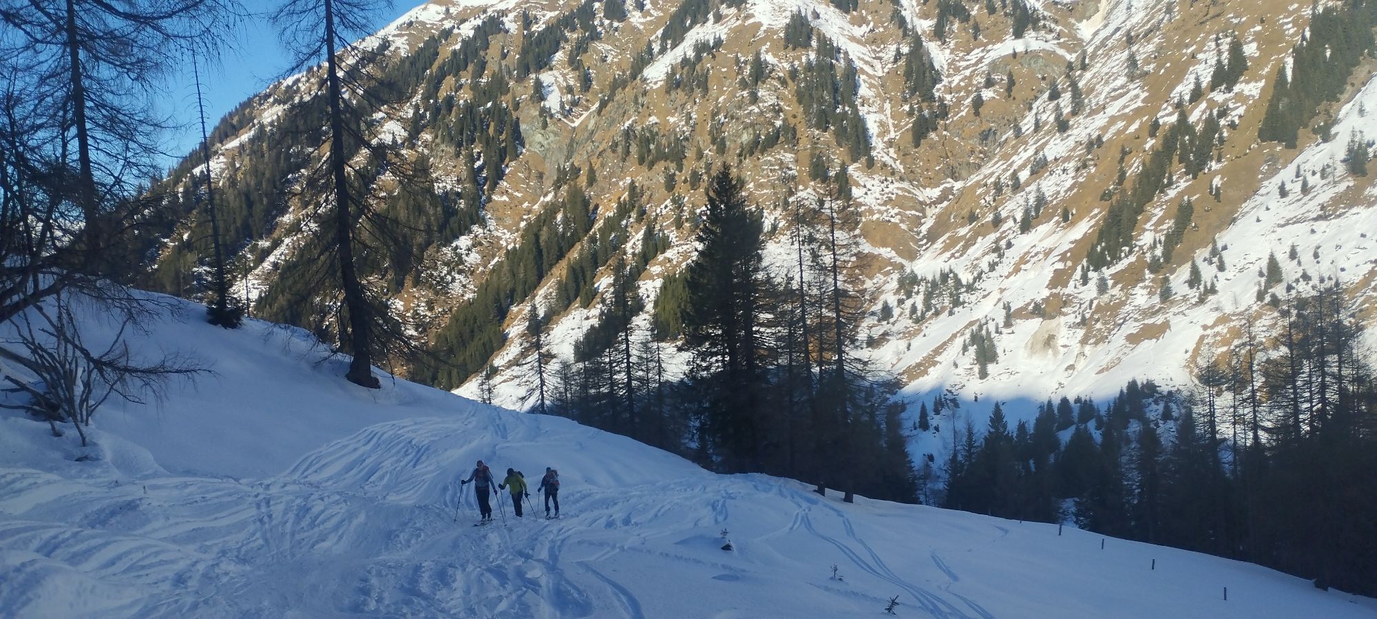
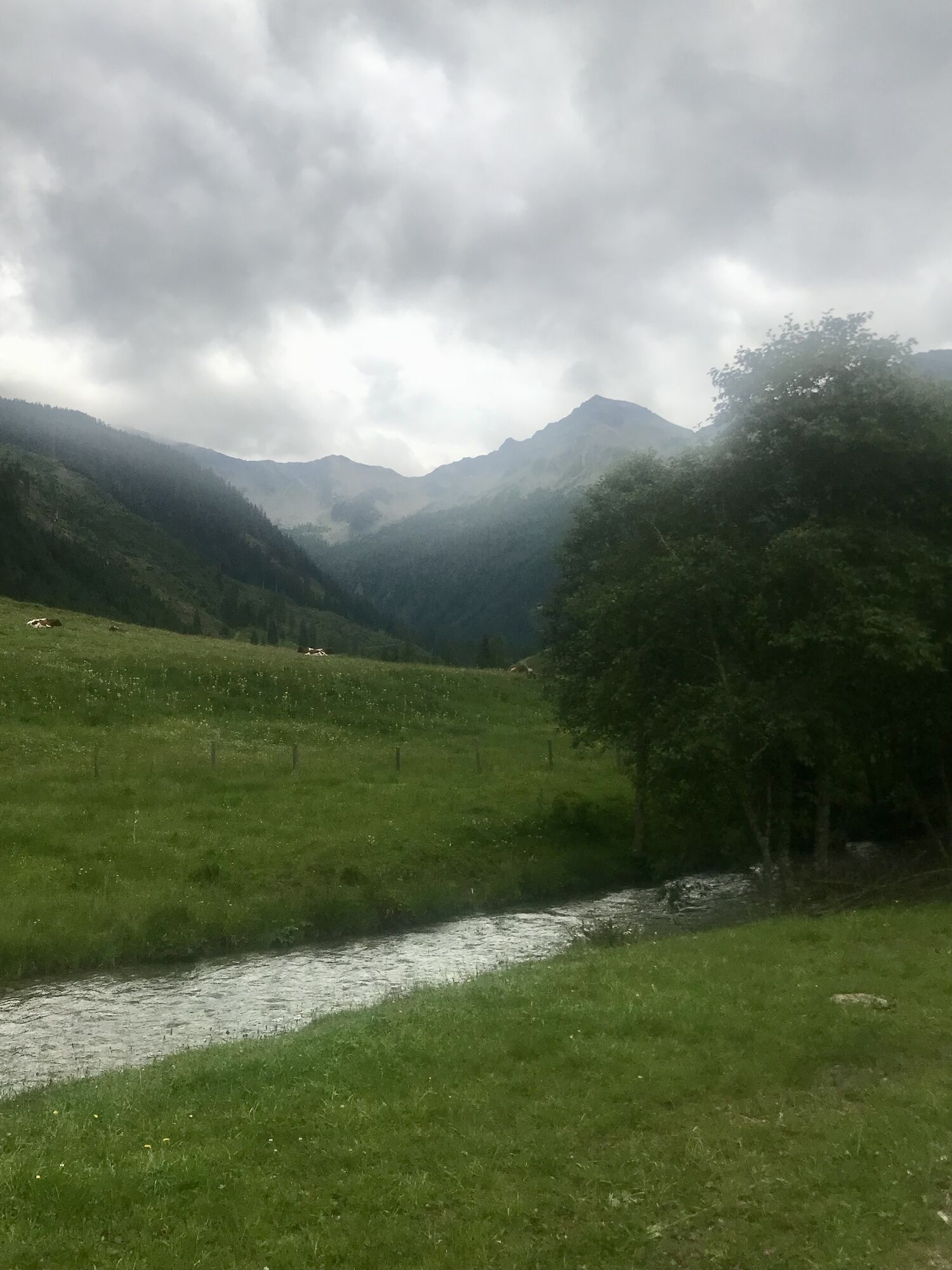
You can easily reach the starting point of this bike tour via the valley cycle path. From Hüttschlag, follow the route for about 4.4 km towards the end of the valley until you reach the access road to...
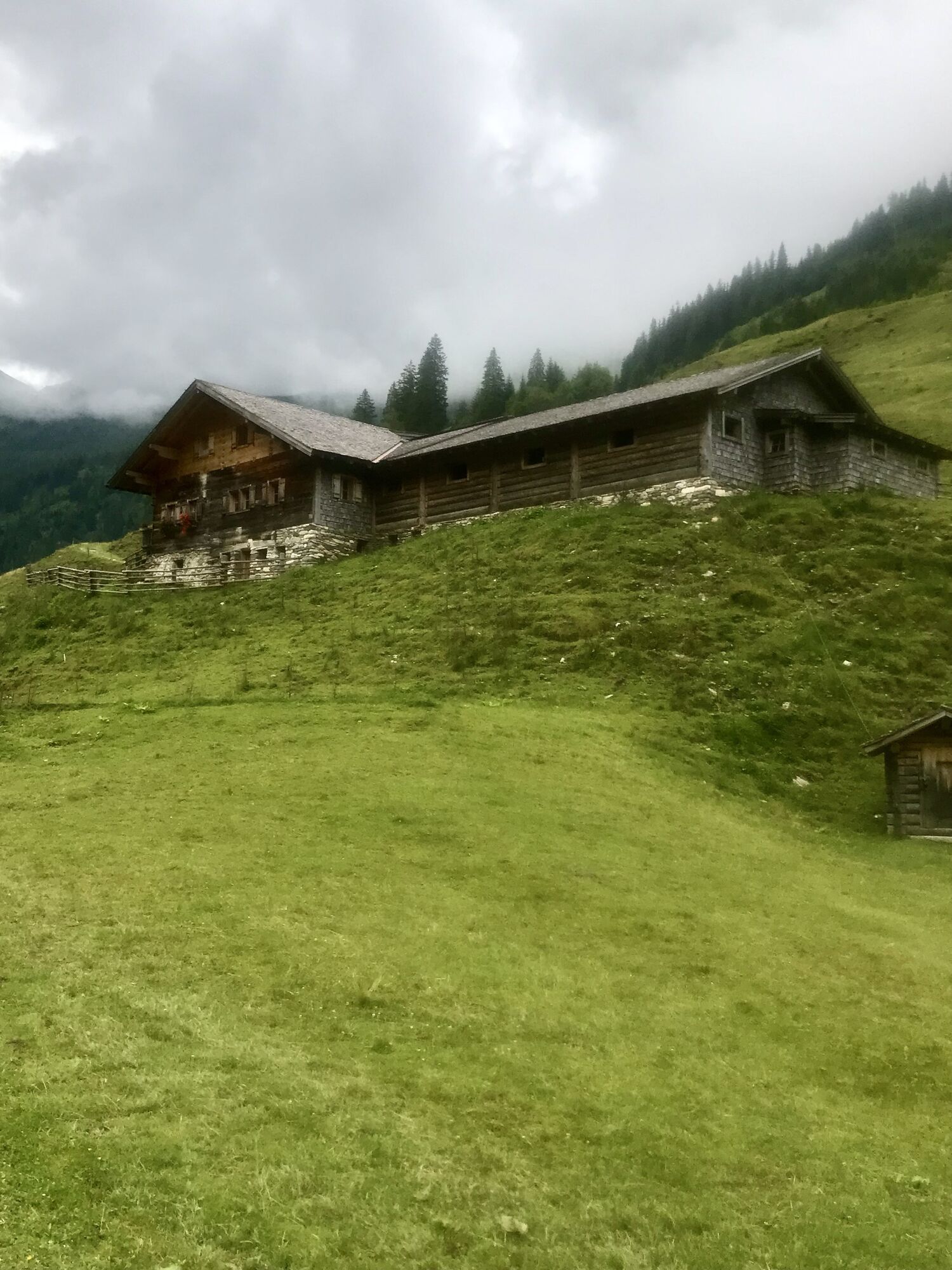
The route then leads uphill, past the farm Steinmman with its farm shop and several other farms, until you finally reach the forest road. This takes you through the forest up to the Hubalm.
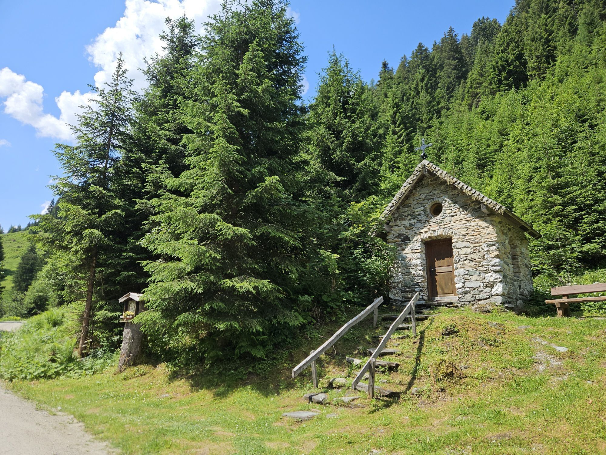
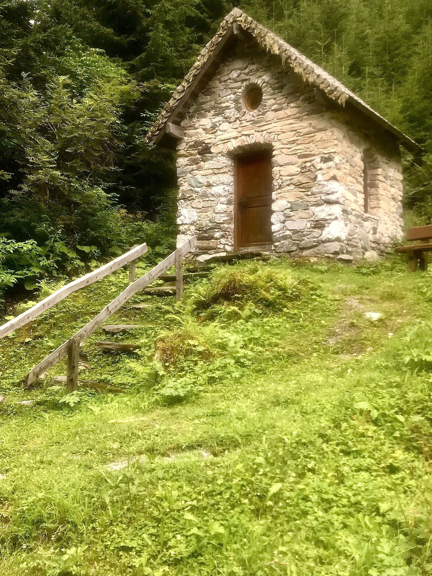
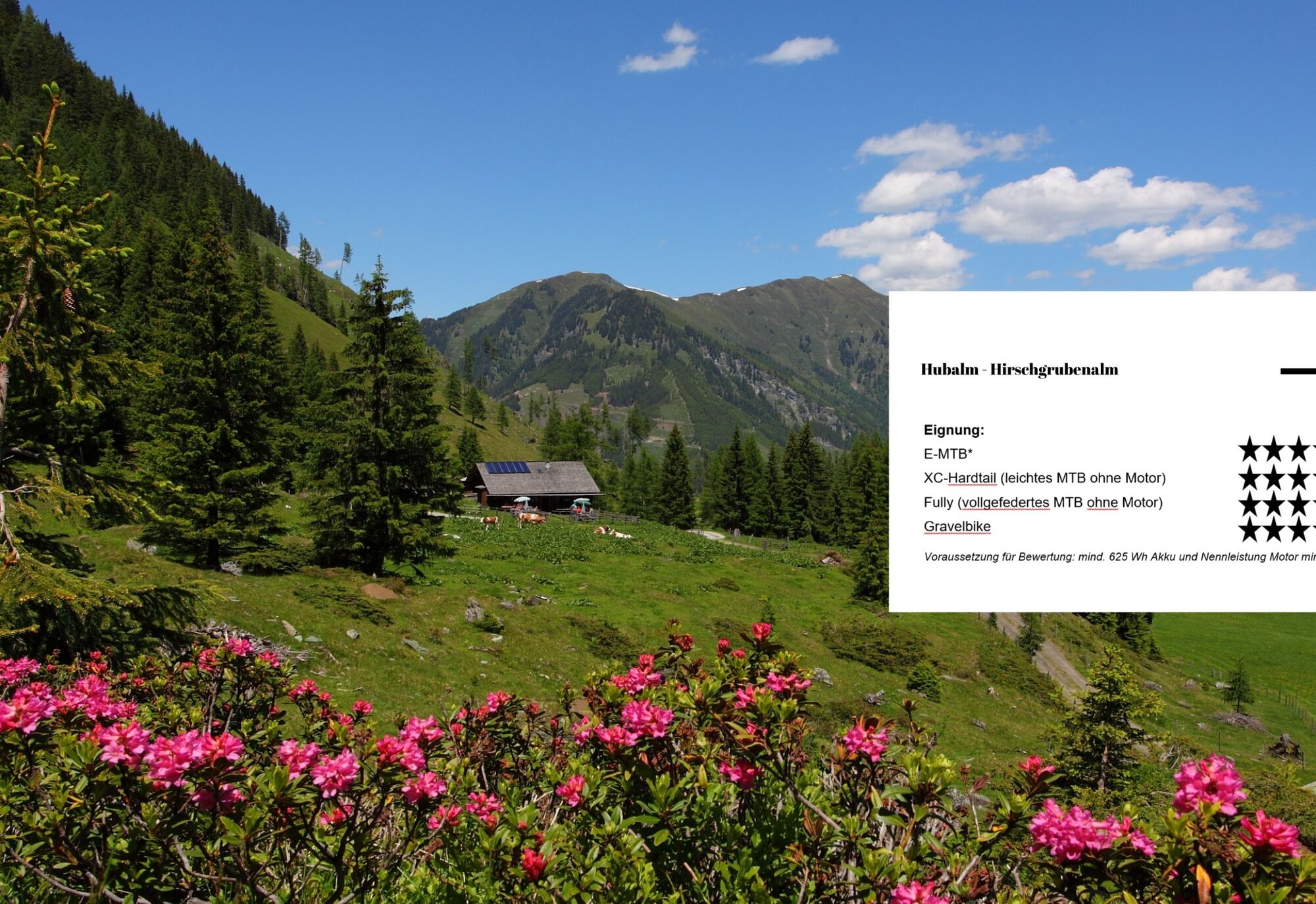
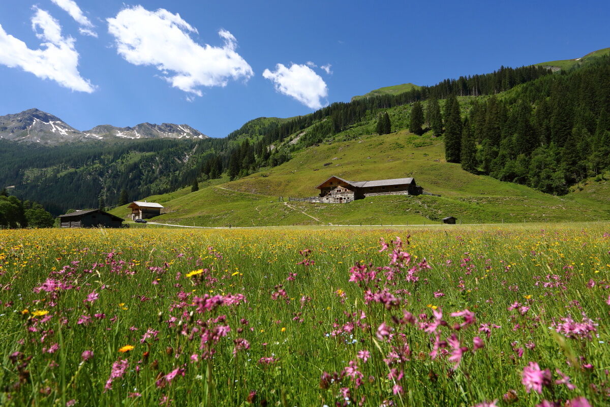
On the way, a small chapel invites you to take a moment to rest and reflect. Once you reach the top, you will be treated to regional delicacies from the Hubalm's own production.
After a pleasant break, you will cycle back along the same route for a while before continuing through the high forest to the Hirschgrubenalm at the fork. Shortly before your destination, you will find a lovingly designed rest area, which was built by pupils from the Grossarl secondary school.
At the Hirschgrubenalm, cyclists and hikers are also treated to homemade specialities. The return journey then takes you back along the same route to the starting point.
Is overnight accommodation available at Hubalm and Hirschgrubenalm?
Overnight stays are not available at Hubalm. However, overnight accommodation is available at Hirschgrubenalm.

There, cross the bridge, turn right onto the road and then take the Oberneureit farm track on the left. Follow this to the barrier and continue along the forest path.
At the next crossroads (Hirschgrubenalm/Hubalm), continue straight ahead towards Hubalm, where the route initially leads downhill for a short distance. Shortly afterwards, you will reach another crossroads, where you turn left. There is a small chapel right by the road, which invites you to pause for a moment.
The last section to Hubalm at 1,311 m leads moderately uphill. To reach Hirschgrubenalm at 1,564 m, drive back to the crossroads and then follow the forest road to Hirschgrubenalm.
Ano
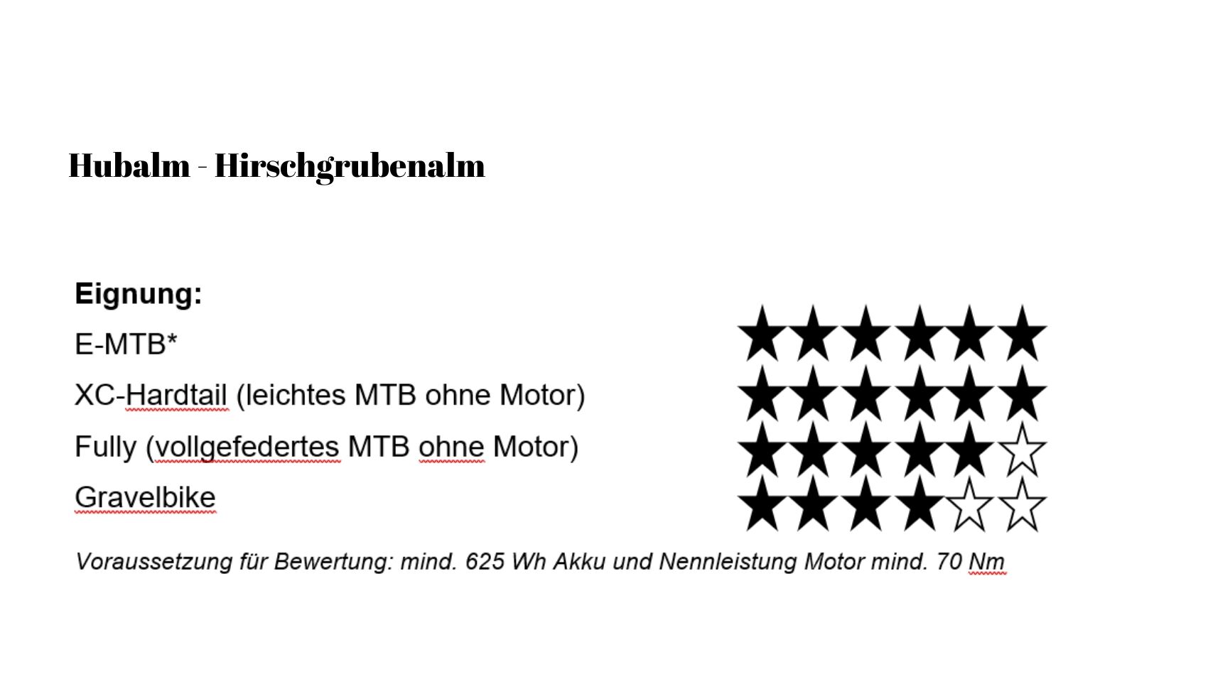
Roadworthy and functional mountain bike or e-bike
Helmet, gloves, and glasses
Clothing suitable for the weather
For emergencies: first aid kit and mobile phone
Moderate local resident and taxi traffic to Hubalm.
By bike you reach the starting point from the centre of Hüttschlag after about 4.4 km, first via the Grossarler Landesstrasse and then via the valley bike path.
Here you can find the parking options in Großlarl and Hüttschlag.
S0
Získejte přehled
Vždy živě na místě s více než 9 500 webkamerami. bergfex Jako uživatel Pro si nyní můžete zobrazit odpovídající webové kamery pro mnoho prohlídek v aplikaci prohlídky z. Můžete si tak přímo prohlédnout aktuální podmínky.

Oblíbené prohlídky v okolí
-
5.0
Hüttschlag: Karteistörl - Tappenkarsee - Draugsteintörl - Draugsteinalmen
středníTuristika 13.5 km -
4.9
Großarl: Aualm - Liechtensteinkopf - Aukopf - Schuhflicker - Schuhflickersee
středníTuristika 5.84 km -
5.0
Großarl: Alpine pasture circuit in Ellmautal
středníTuristika 9.69 km -
4.8
Großarl: Mooslehenalm – Niggeltalalm – Viehhausalm
středníTuristika 5.44 km -
4.1
Tappenkarsee Kleinarl
středníTuristika 9.11 km -
4.5
Gasteiner Höhenweg von Bad Gastein nach Bad Hofgastein
světloTuristika 8.58 km -
4.9
Großarl: Bichlalm
středníMountainbike 18.9 km -
4.5
Mountain route from the Kötschachtal to the natural jewel Reedsee
středníTuristika 12.5 km -
4.4
"Elendrunde" Kleinelend Valley - Zwischenelendscharte - Großelend Valley
středníTuristika 21.9 km -
4.8
Kölnbreinspeicher bis Osnabrücker Hütte
světloTuristika 15.9 km
Pěší turistika a stopování


Nenechte si ujít nabídky a inspiraci pro vaši příští dovolenou
Vaše e-mailová adresa byl přidán do poštovního seznamu.





