


Salzburger Almenweg - Stagevariant 12a: Franz-Fischer-Hütte - Tappenkarseehütte - Loosbühelalm
Úroveň obtížnosti: T2


The variant of stage 12, which starts at the Franz Fischer Hütte, is quite challenging with a walking time of 6 hours. However, it is also beautiful and varied: three embrasures lead into ever-changing...
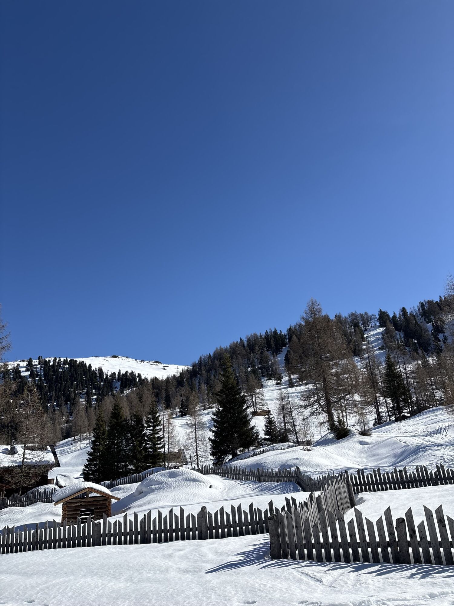
For those who chose stage 11a the day before and made a short detour to the Franz-Fischer-Hütte in Salzburg's Lungau region, today you return to the Salzburger Almenweg on stage 12a. As soon as you arrive at the Tappenkarseehütte, continue on the original route 12 to the Loosbühelalm. You also have the option of hiking uphill from the hut to the Draugsteintörl to save yourself a few energy and altitude meters instead of first descending to the Tappenkarsee and then taking the steep mountain path to the Draugsteintörl again at the Tappenkarseealm.

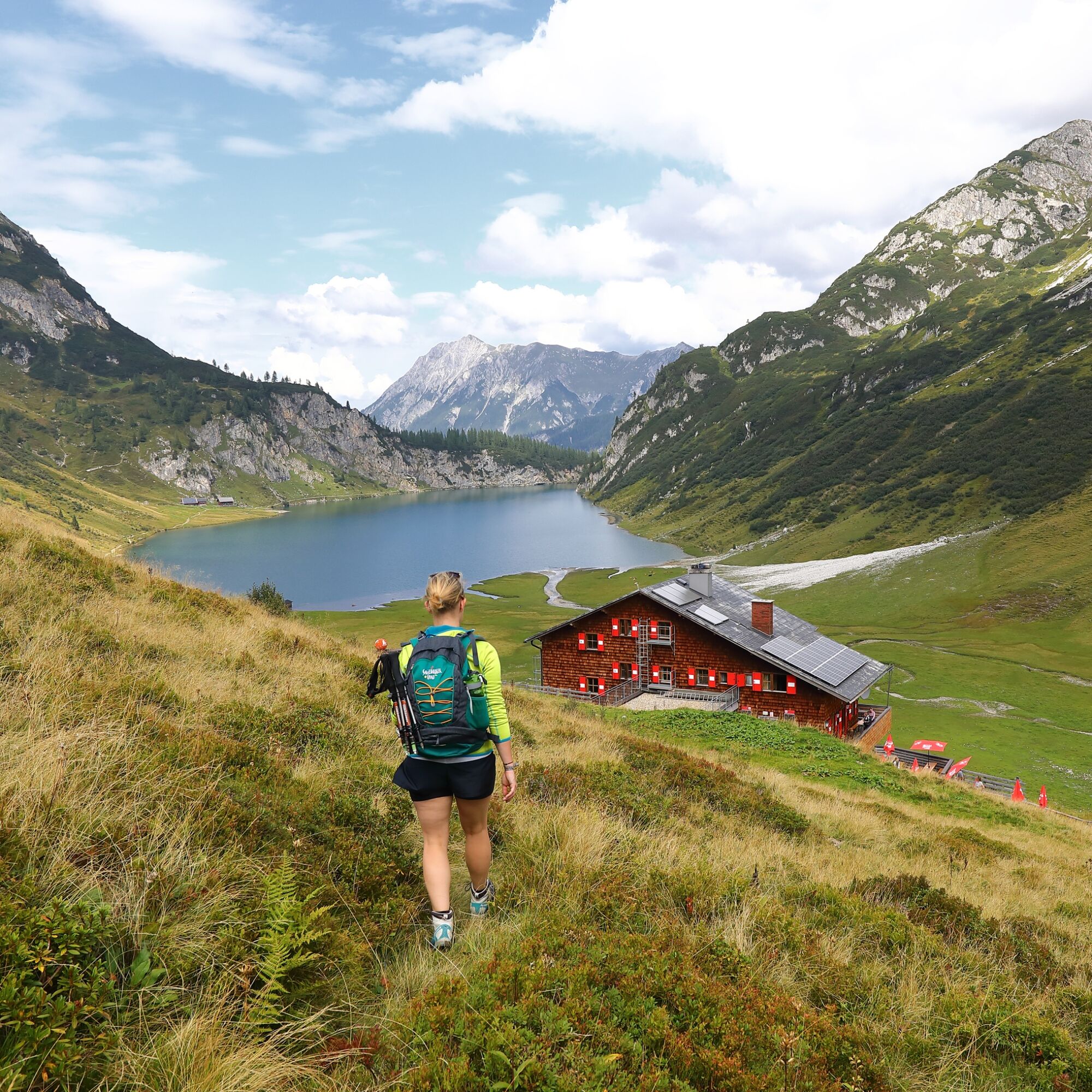
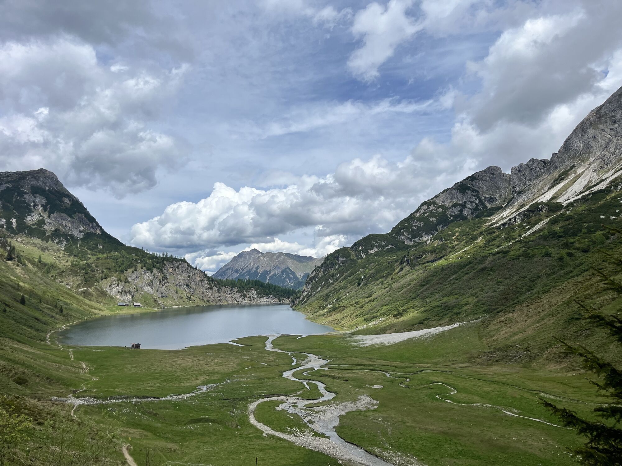
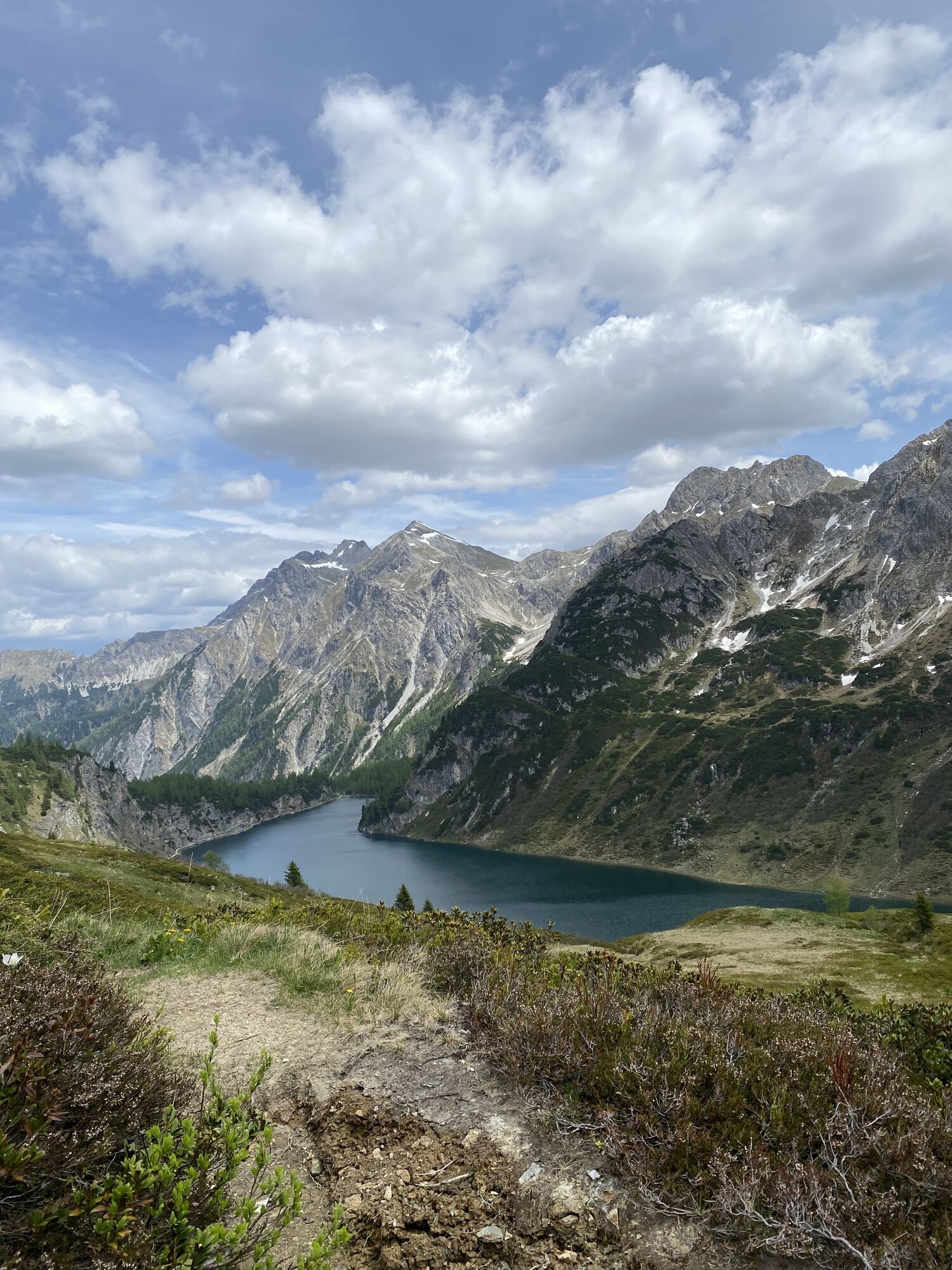
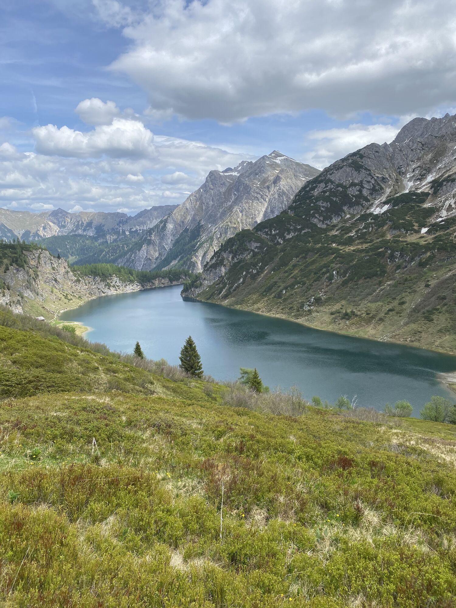
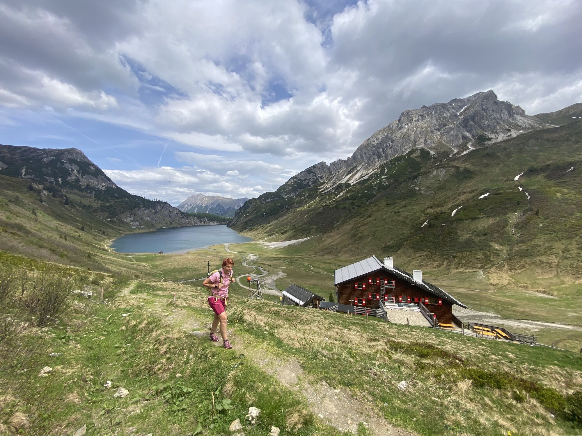
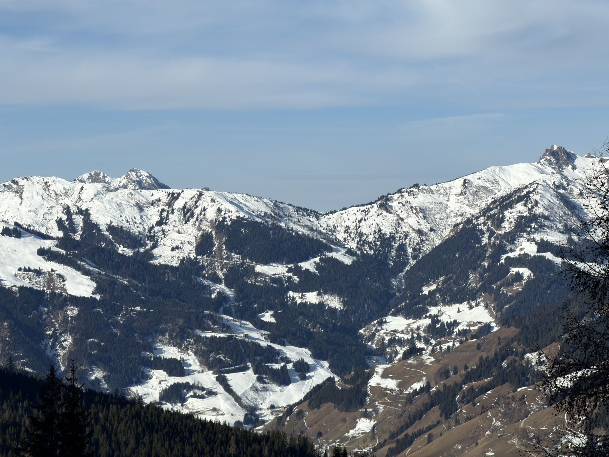
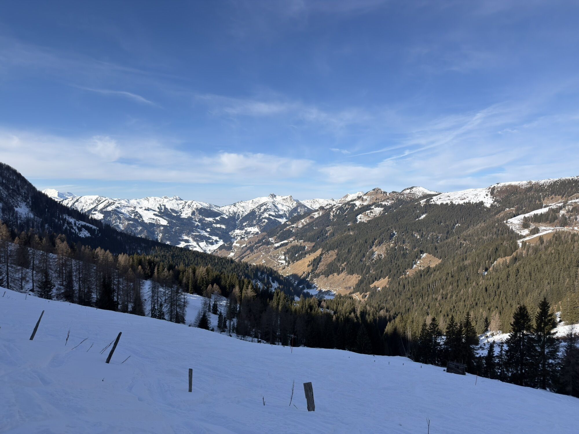
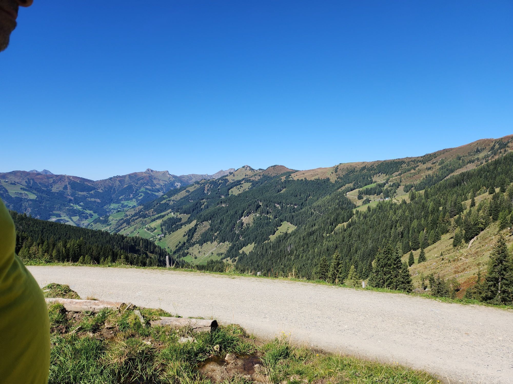
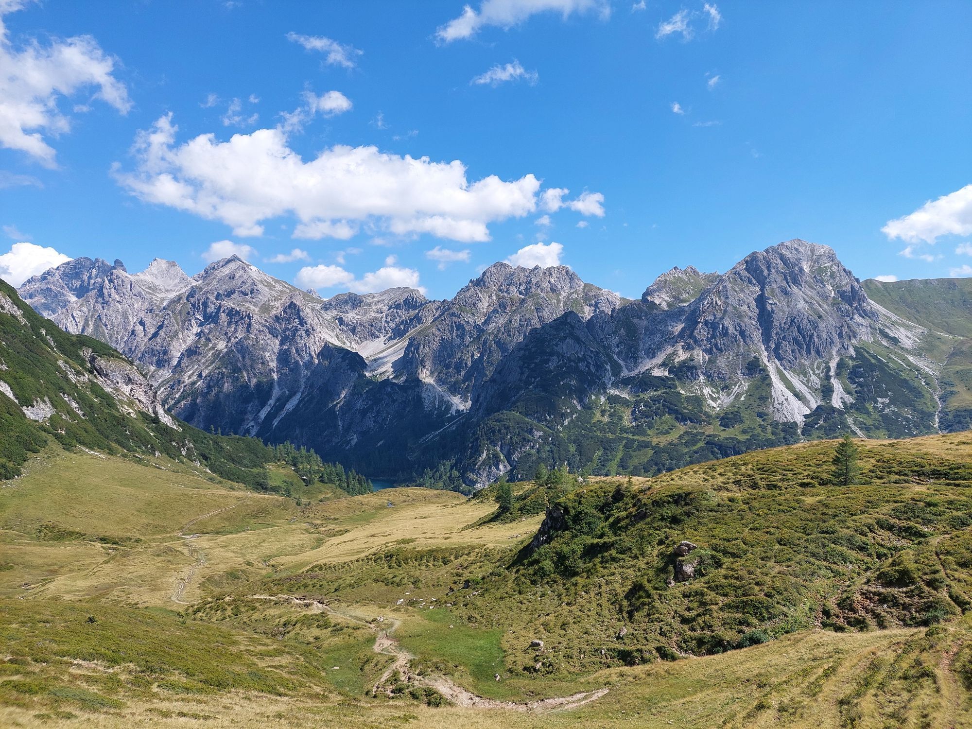
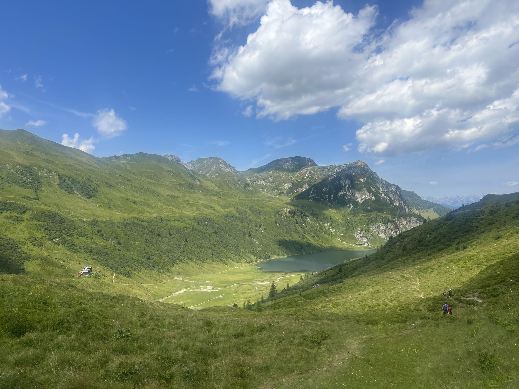
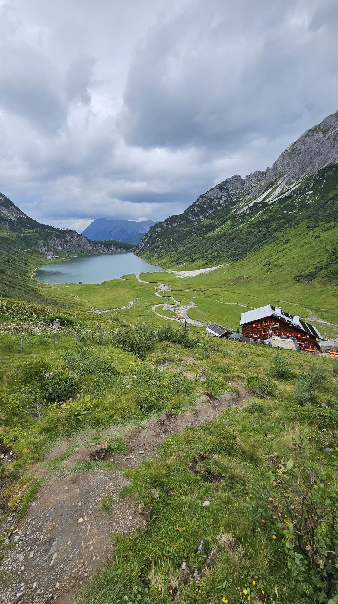
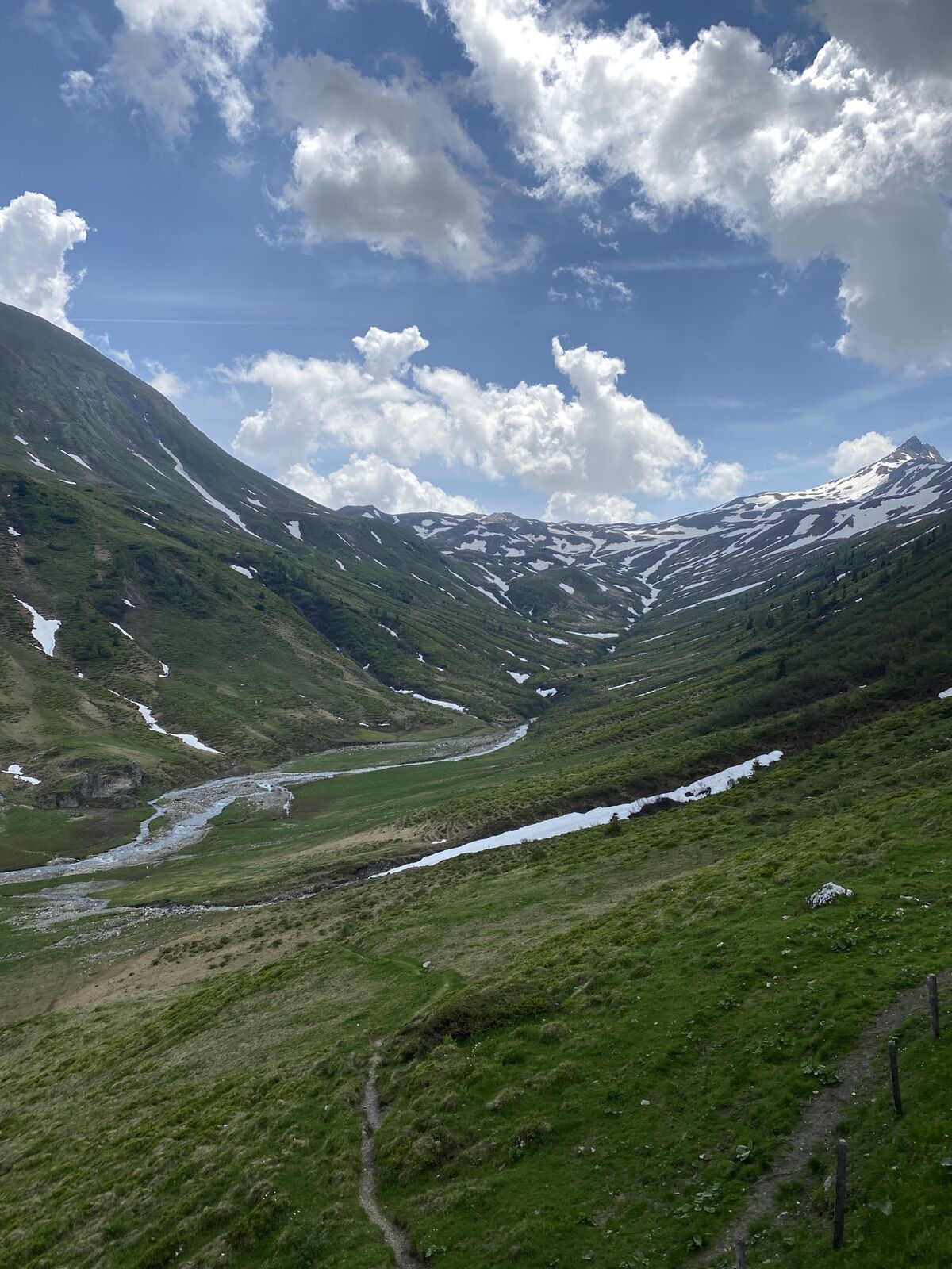
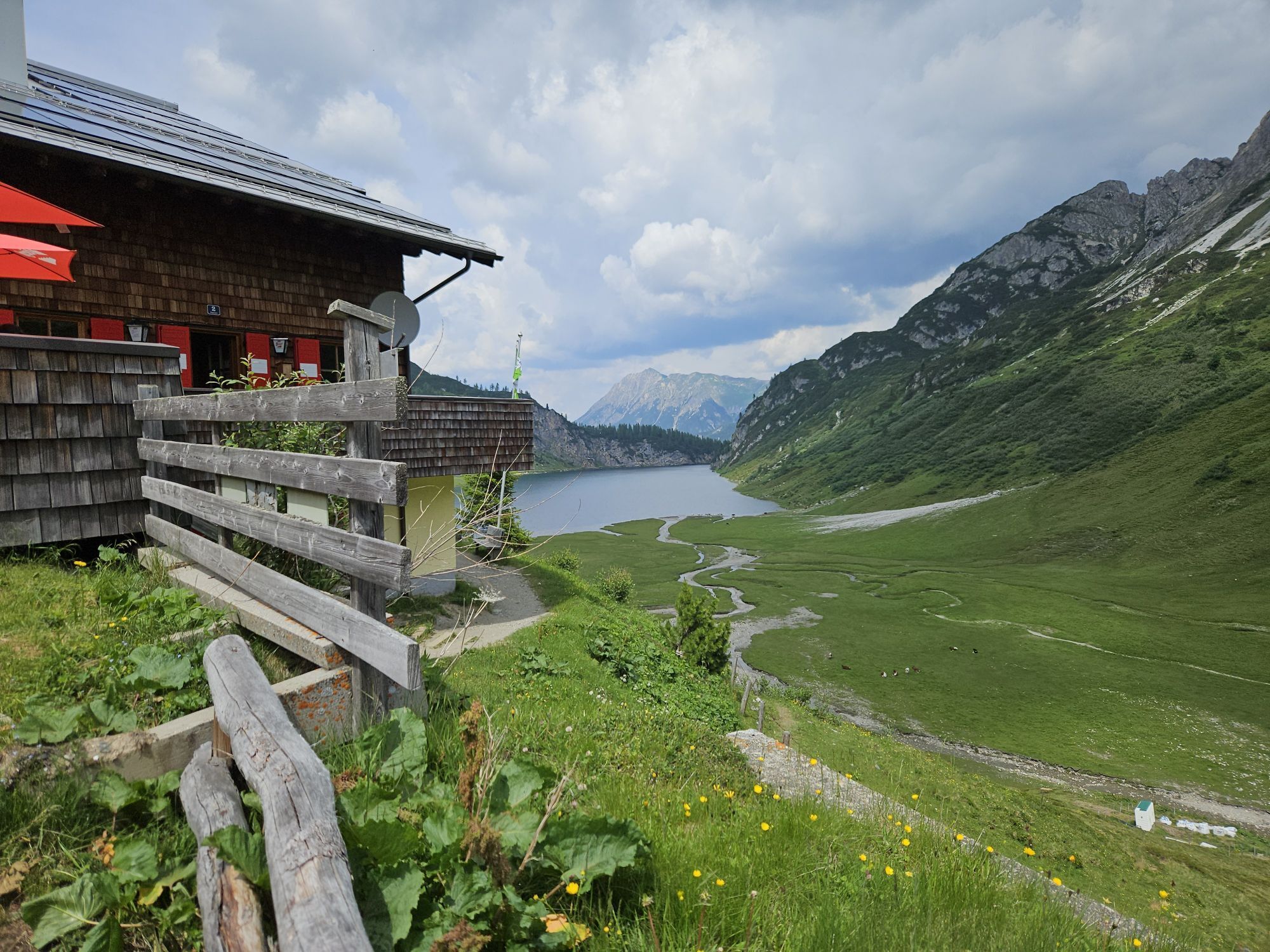
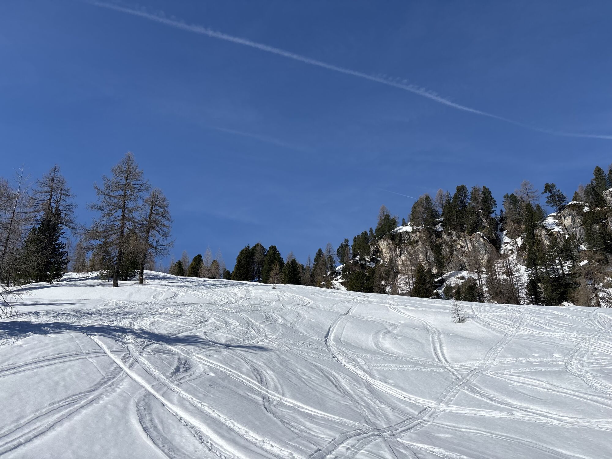
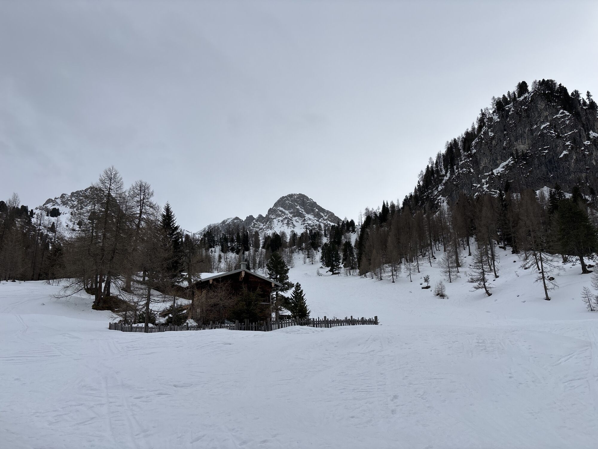
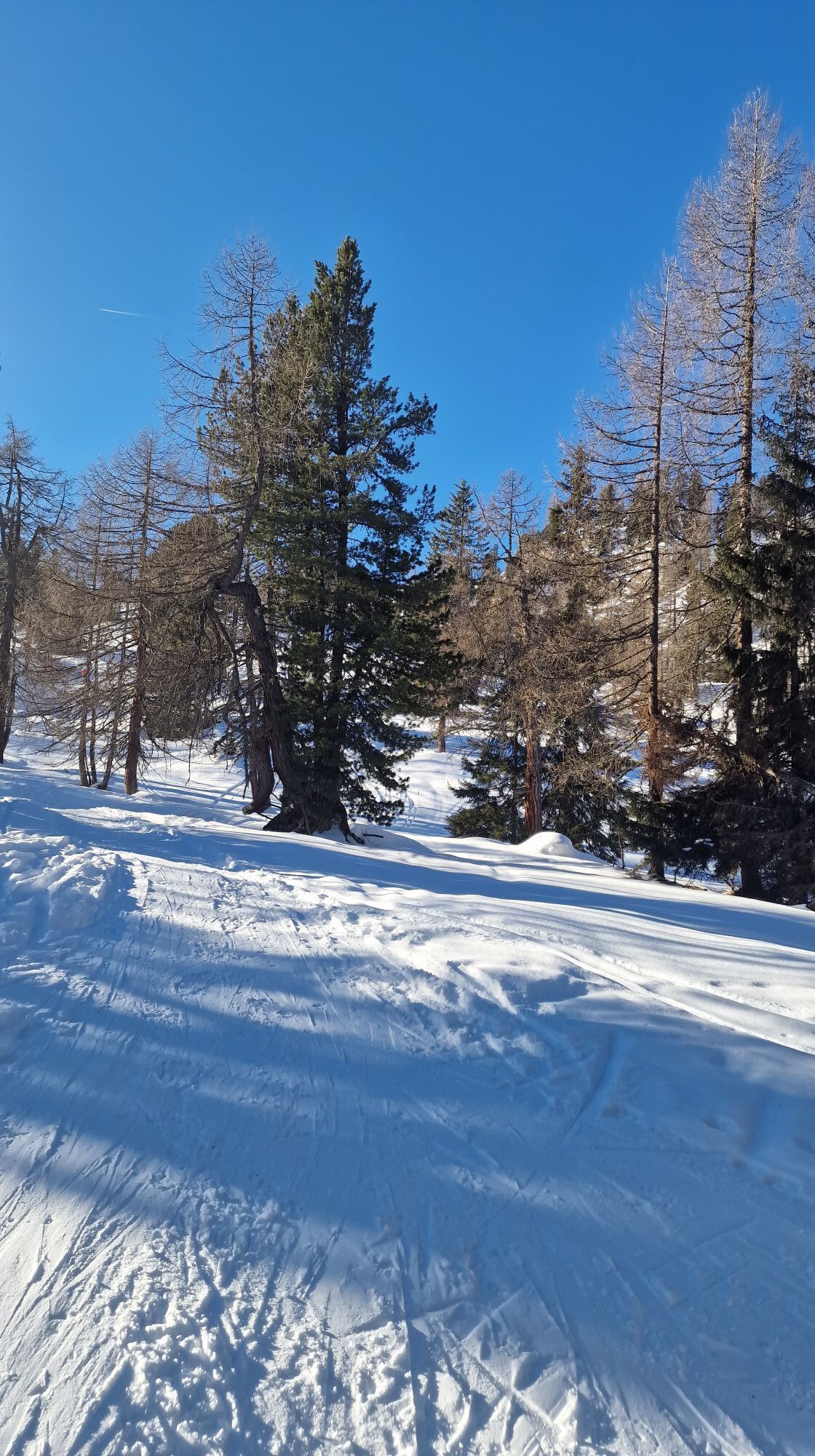
On the other side of the saddle, trail no. 702 now leads quite steeply down into the Tappenkar. At a fork in the path at the bottom of the valley, the path on the right soon leads to the Tappenkarseehütte at 1,820 m, where you can stop for refreshments.
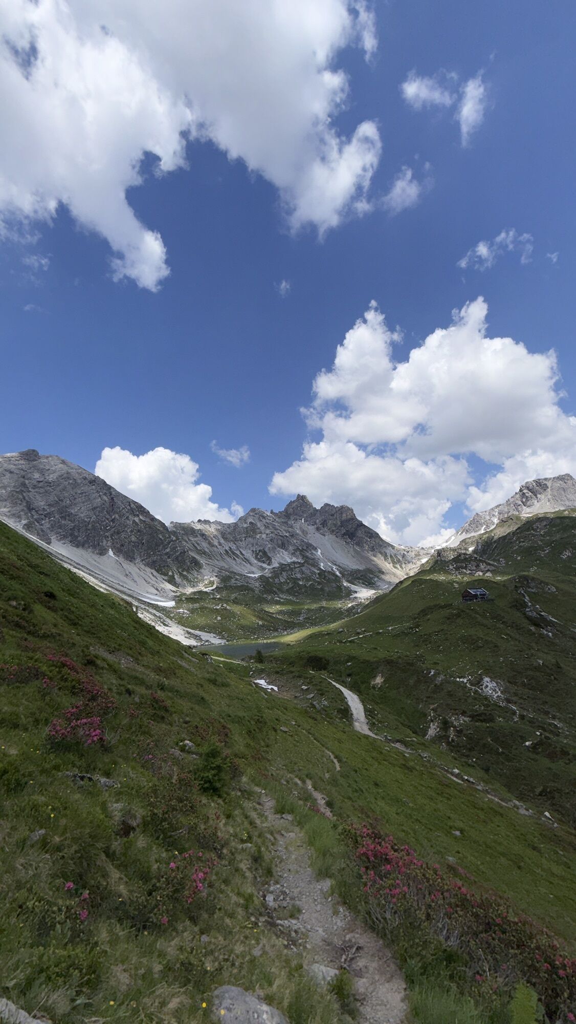
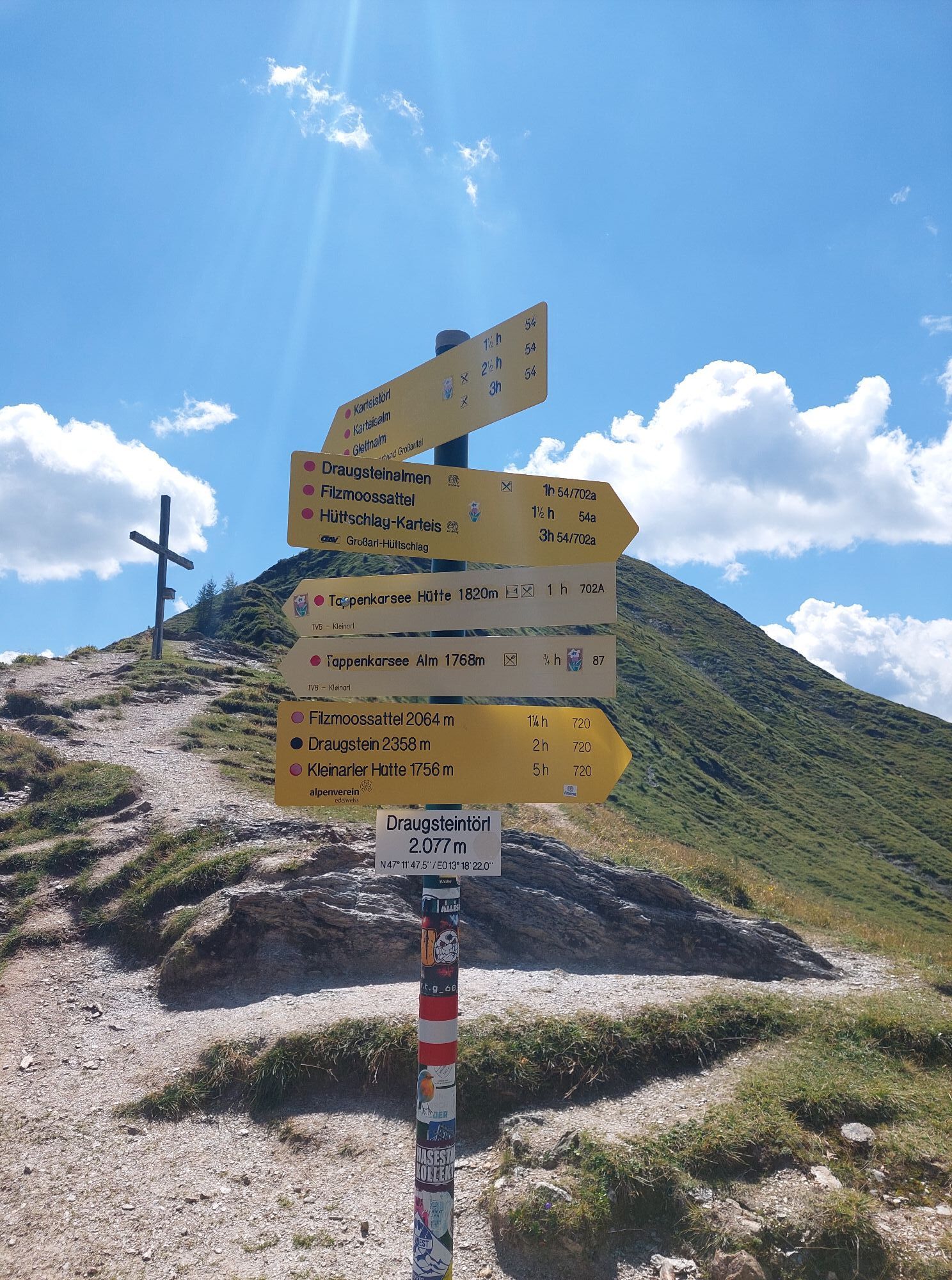
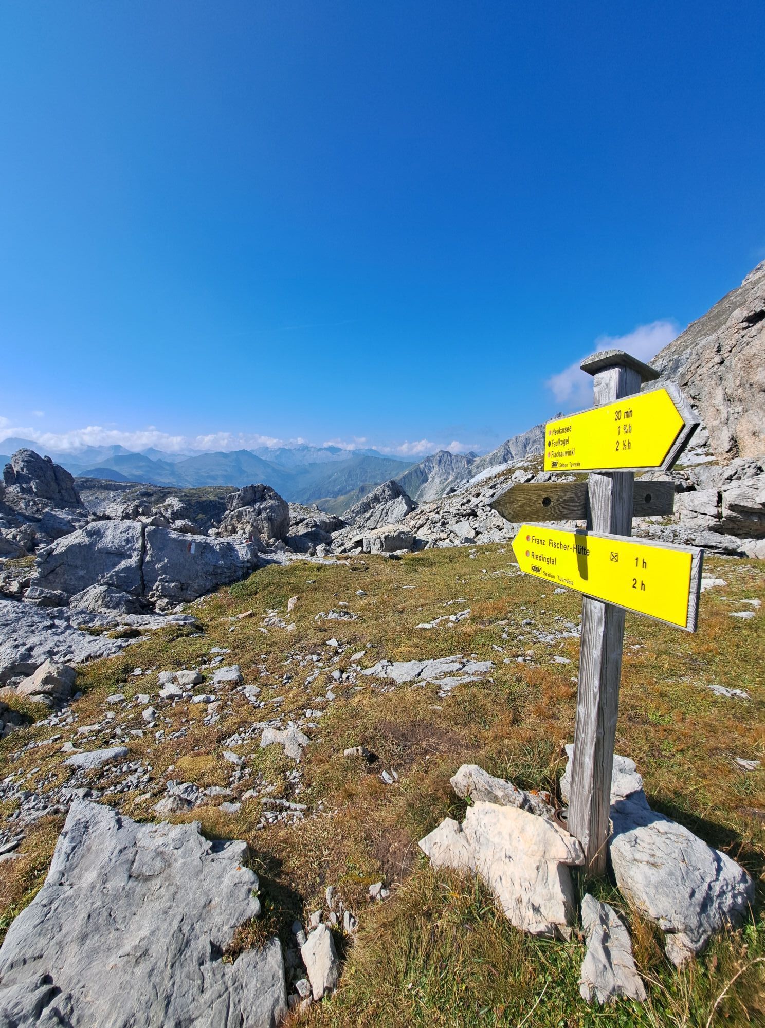
Now there are two variants to the Draugsteintörl 2,077 m.
Option 1: Behind the Tappenkarseehütte hut, the hiking trail leads moderately uphill halfway to the Draugsteintörl (shortcut if you don't want to take the detour on the original route of the Salzburger Almenweg down to the lake - at the Draugsteintörl you meet up with the original route again).
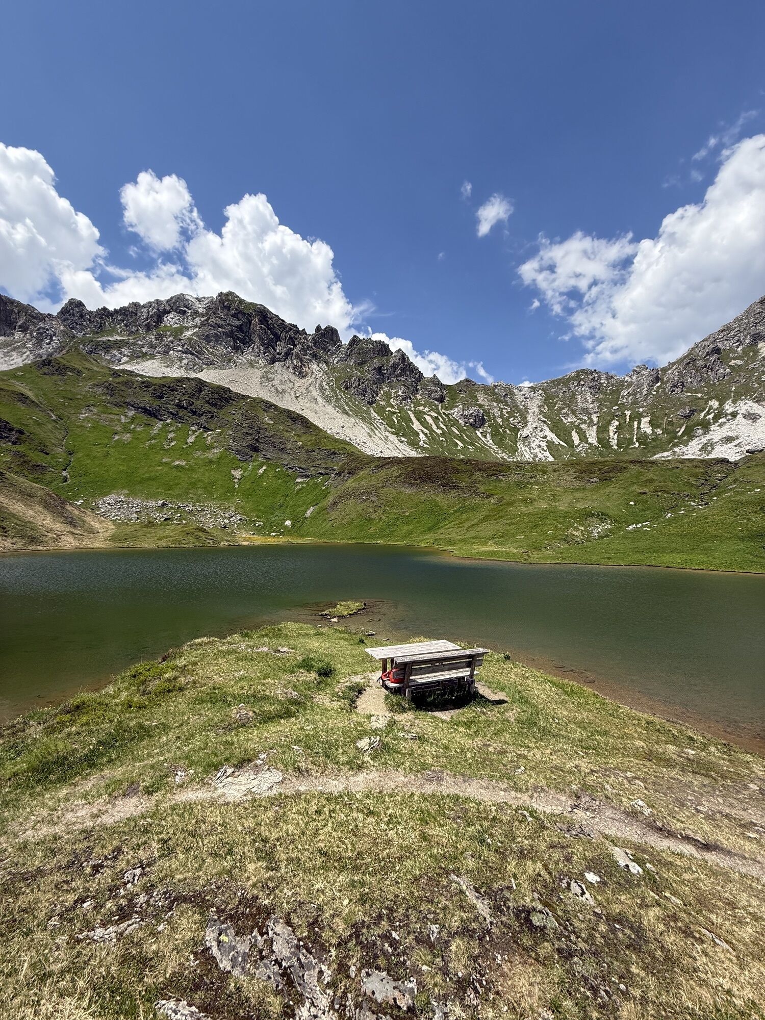
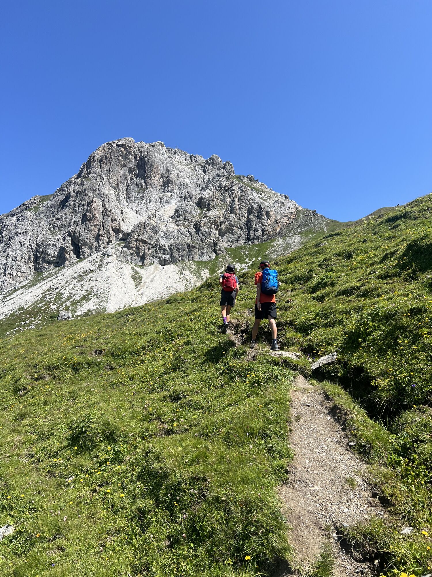
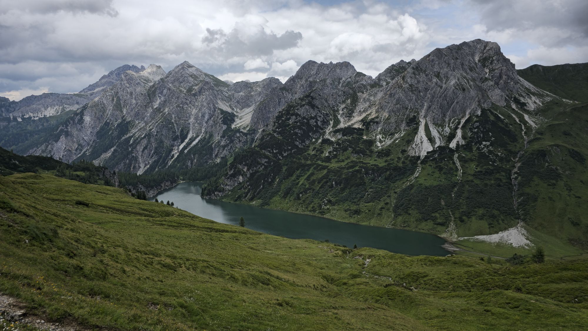
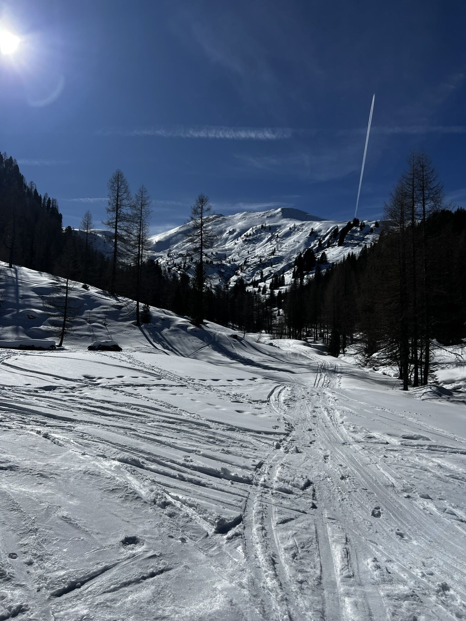
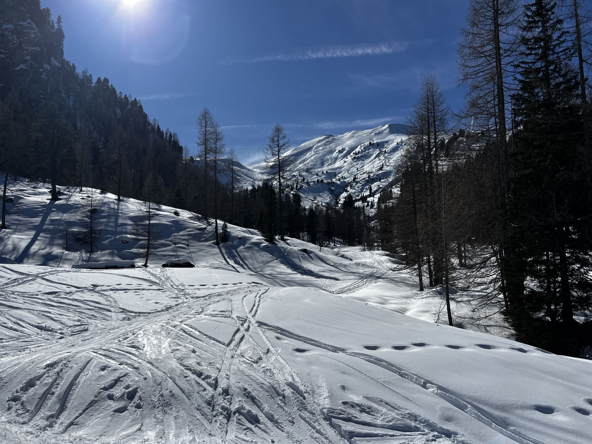
Option 2 (original route of the Salzburger Almenweg): From the Tappenkarseehütte, the Salzburger Almenweg follows the western shore of the Tappenkarsee lake via trail no. 722 to the Tappenkarseealm, which takes around 20 minutes to reach on foot. Now it's time to take trail no. 87 to the west and climb around 300 meters in altitude to the 2,077-meter-high Draugsteintörl (additional 20 minutes).
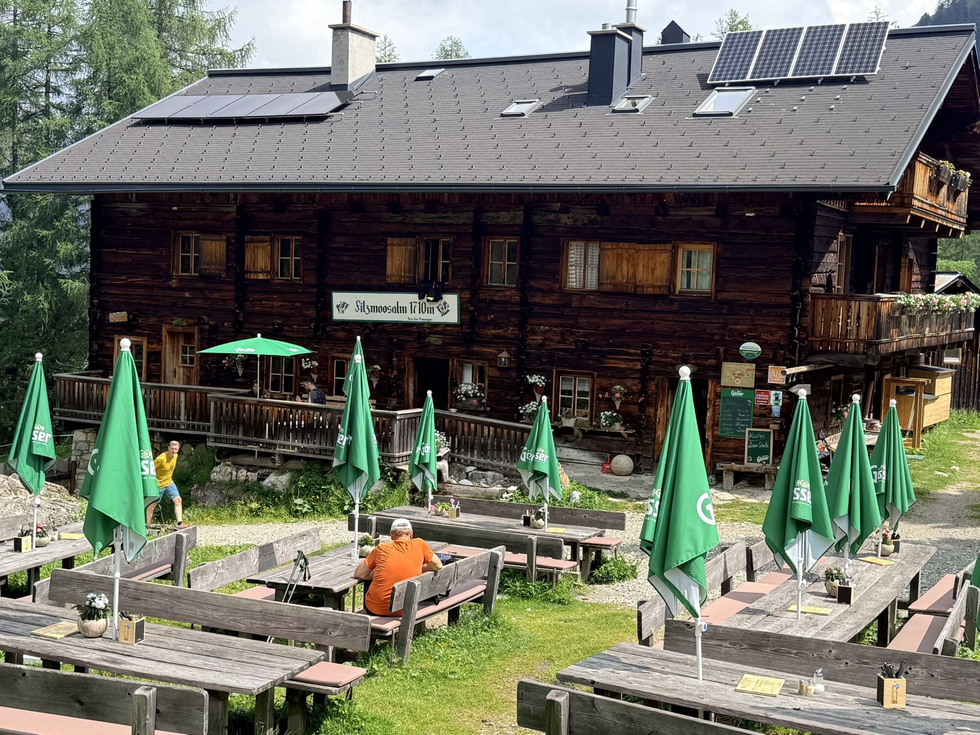
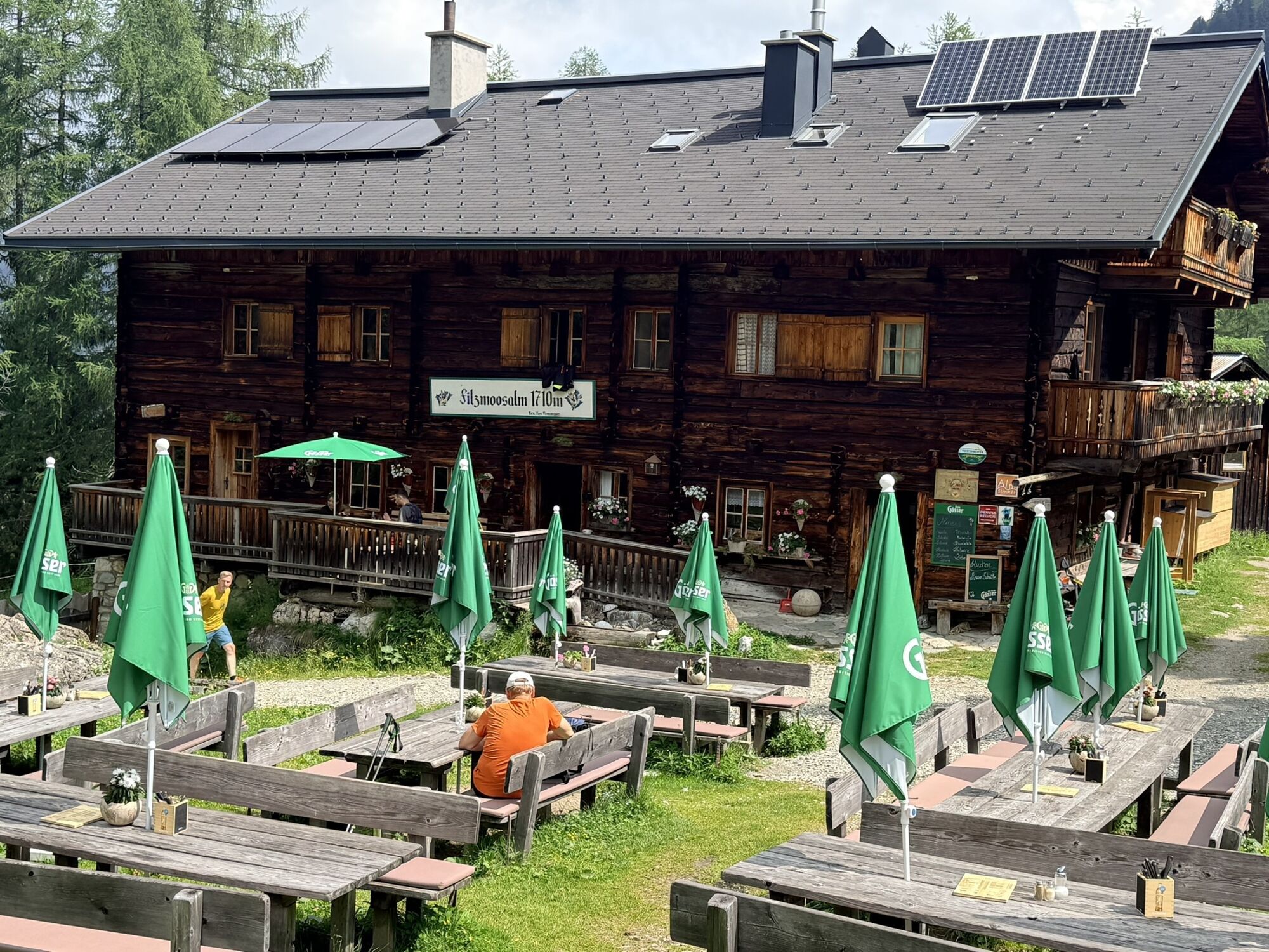
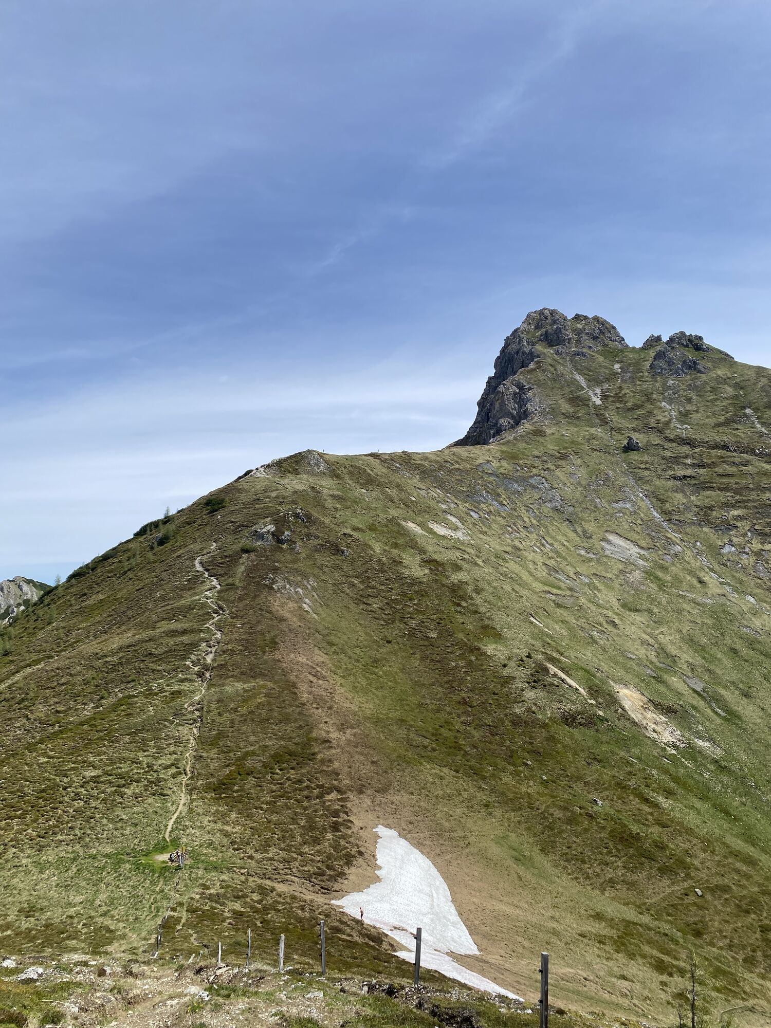
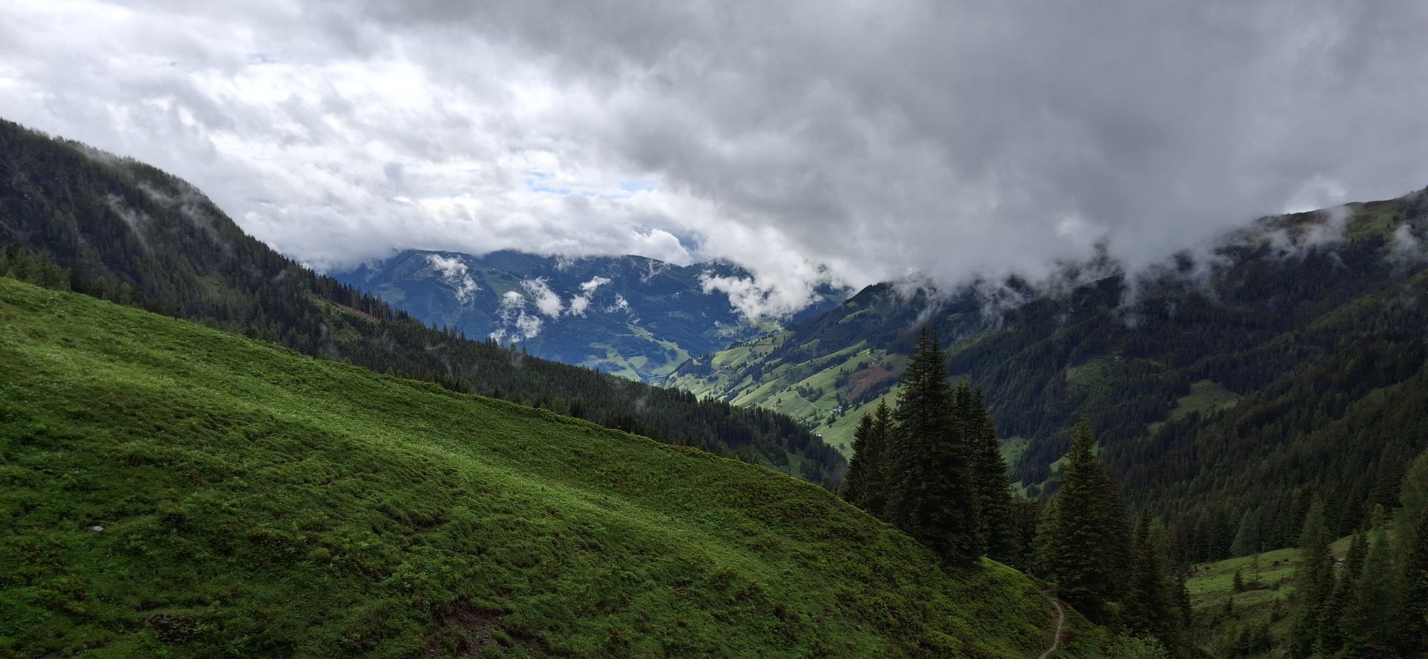
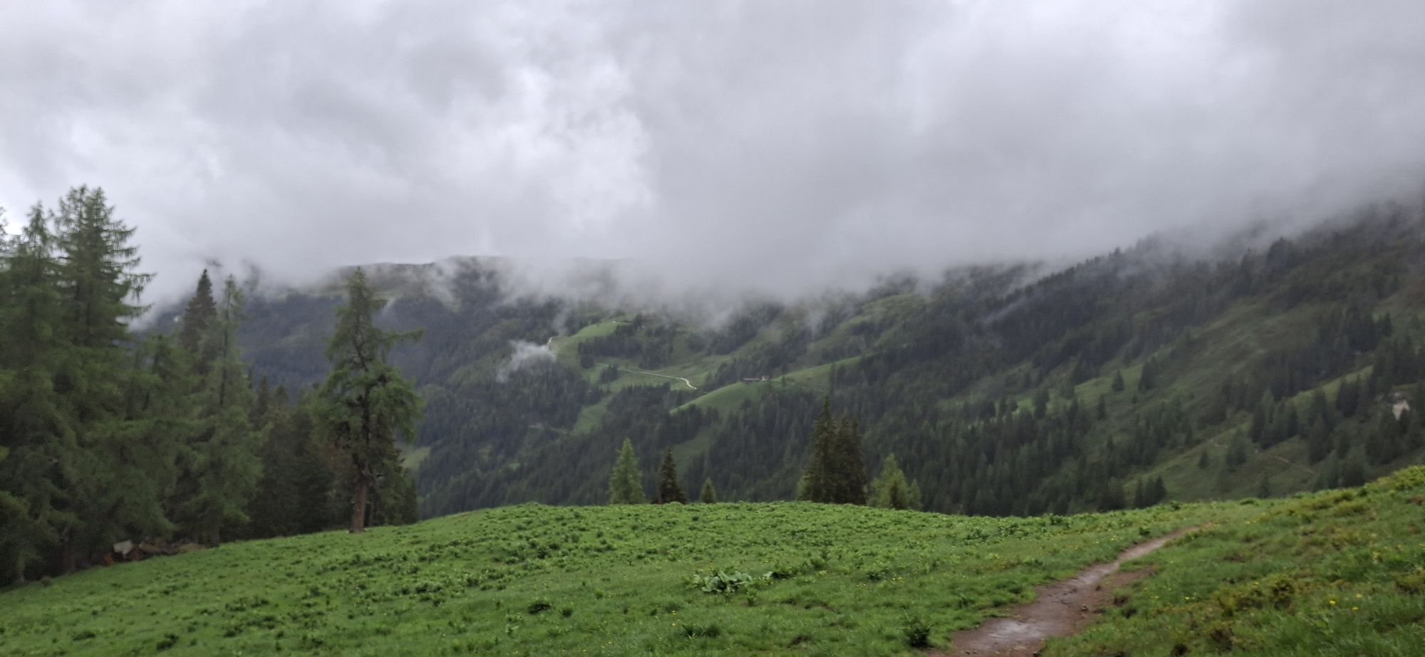
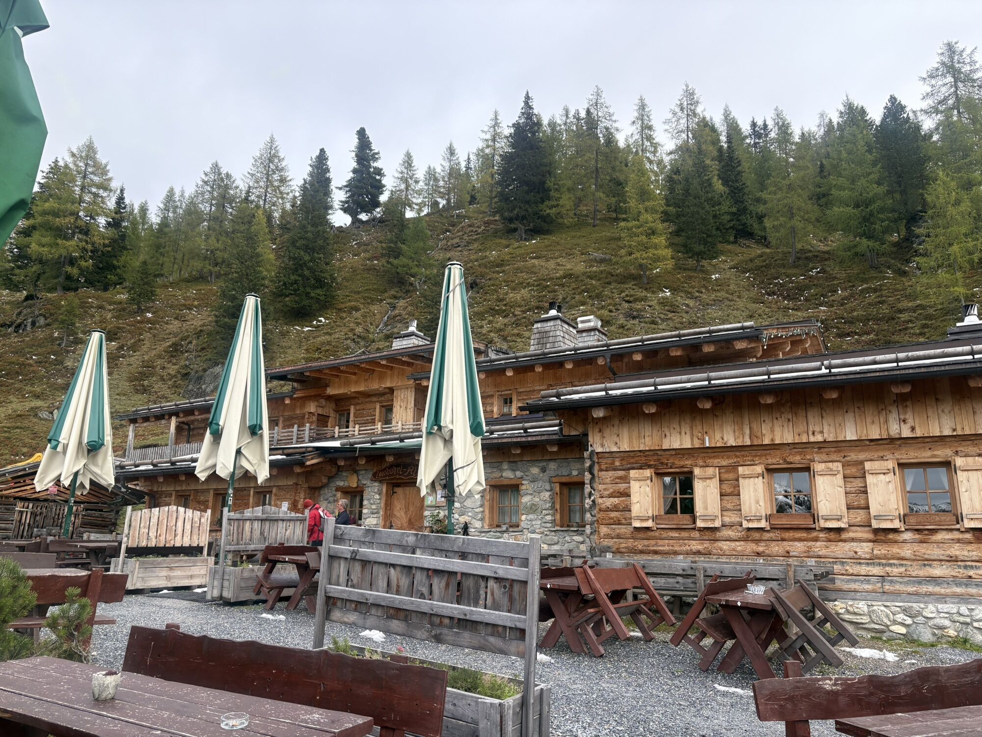
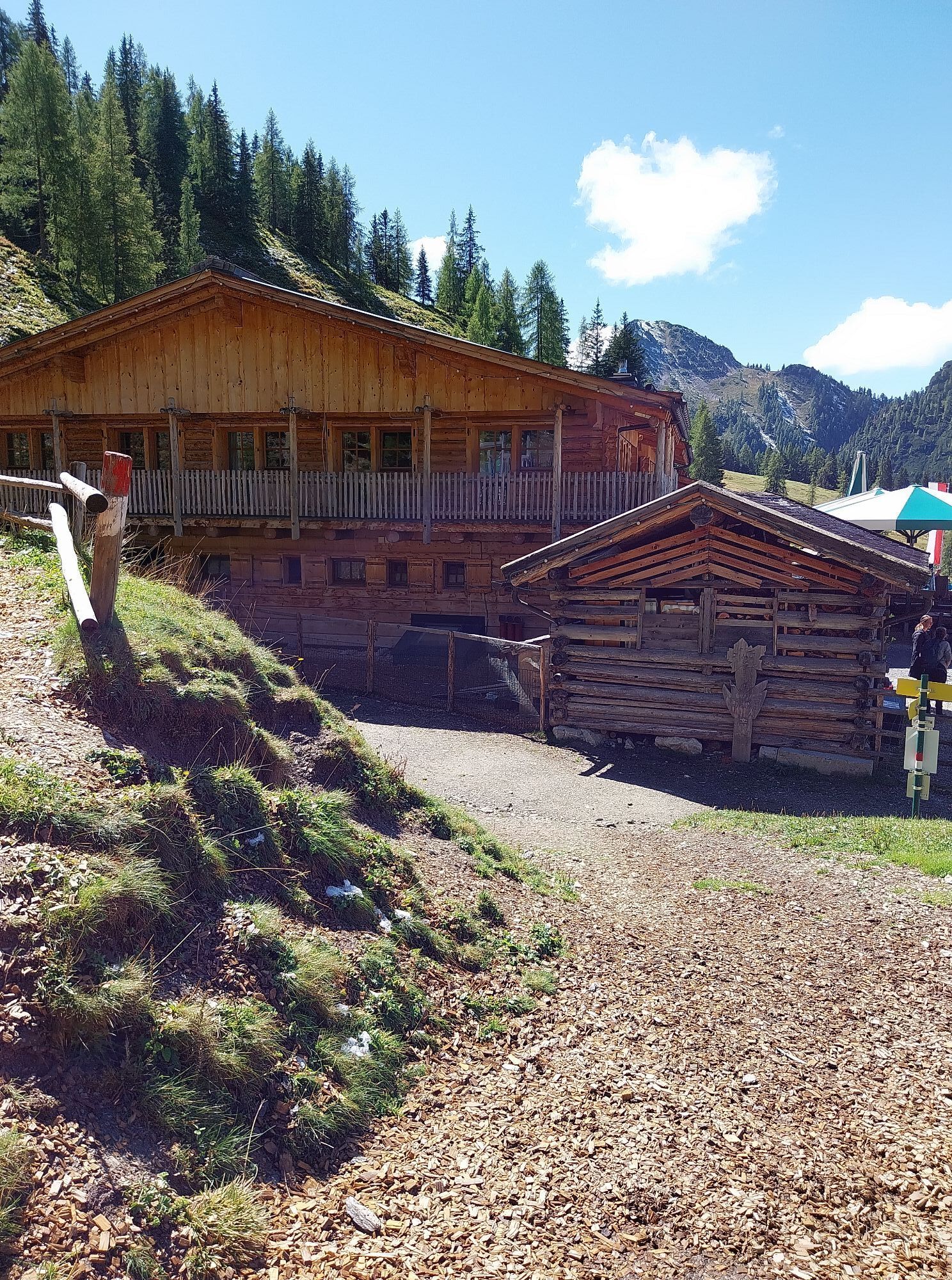
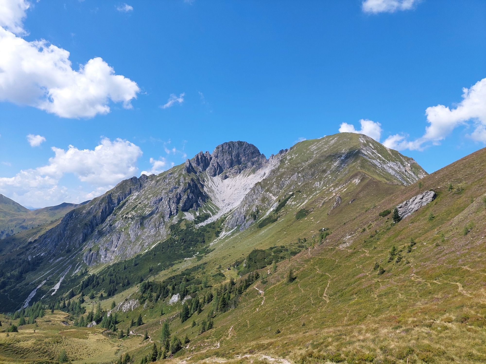
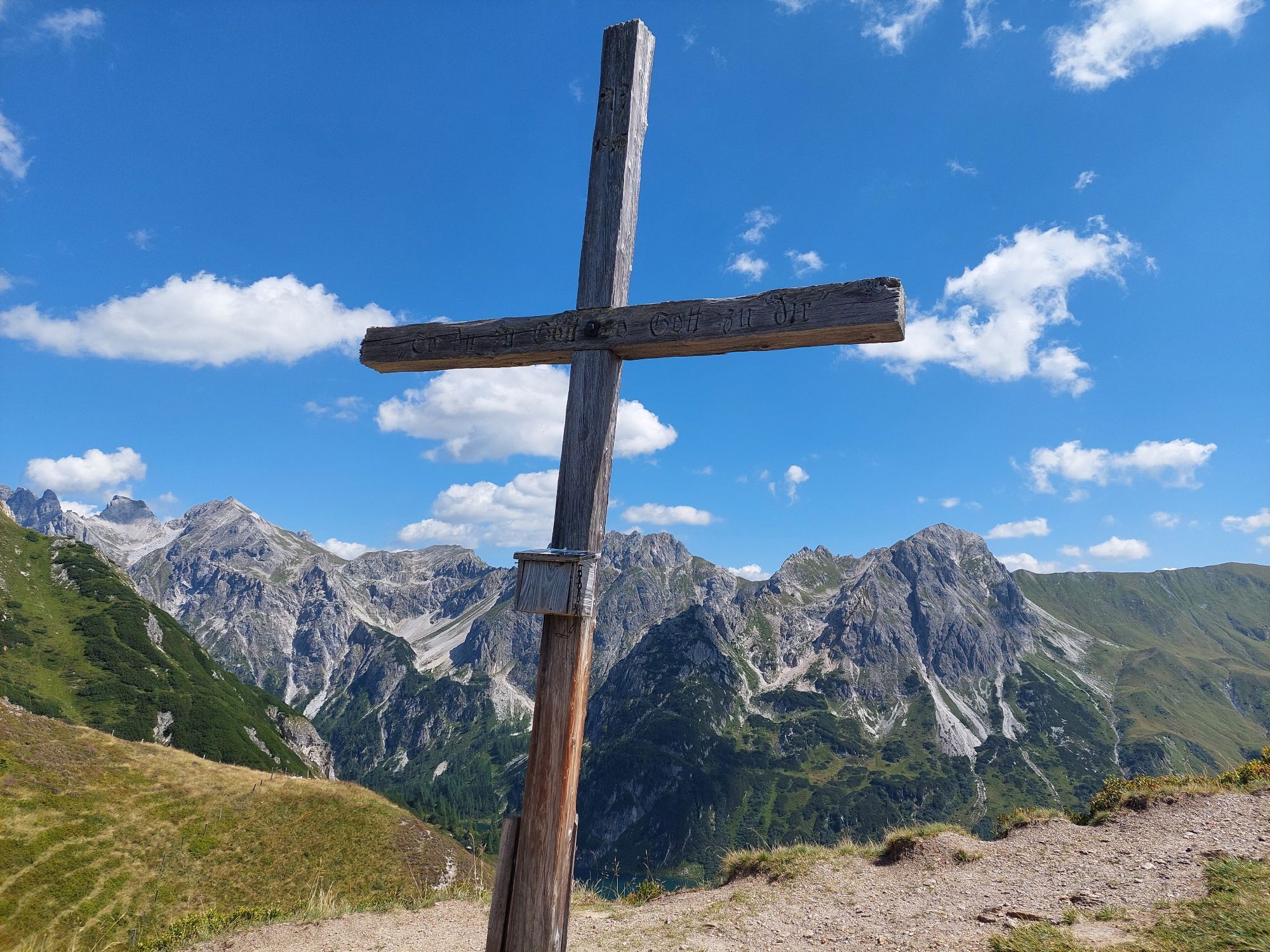
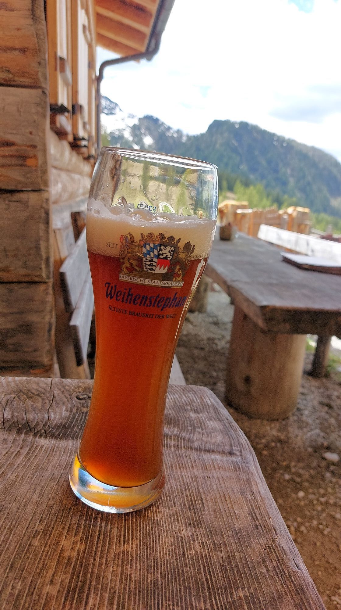
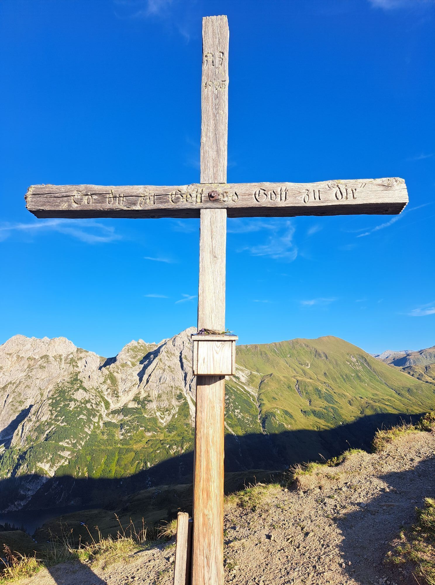
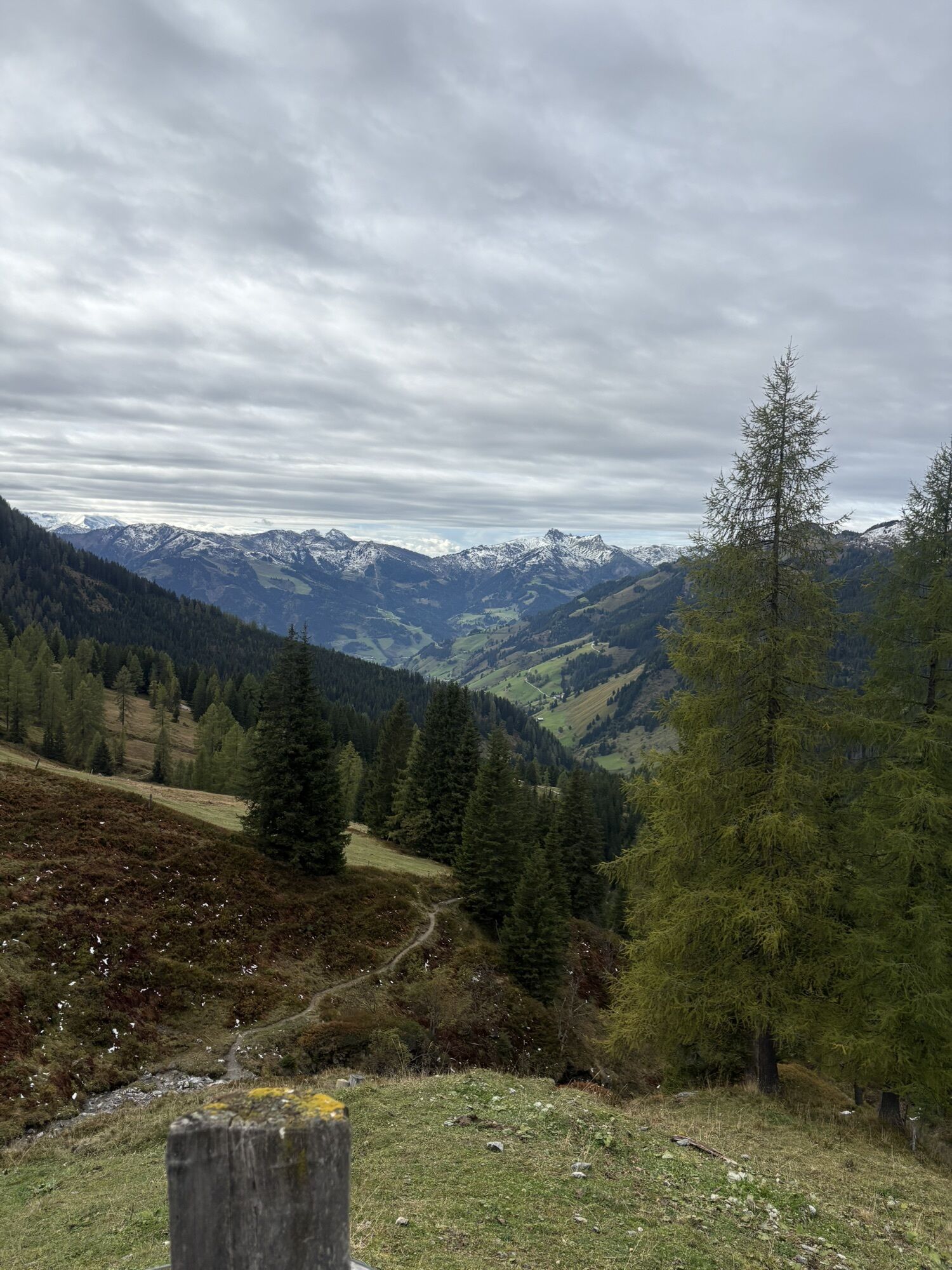
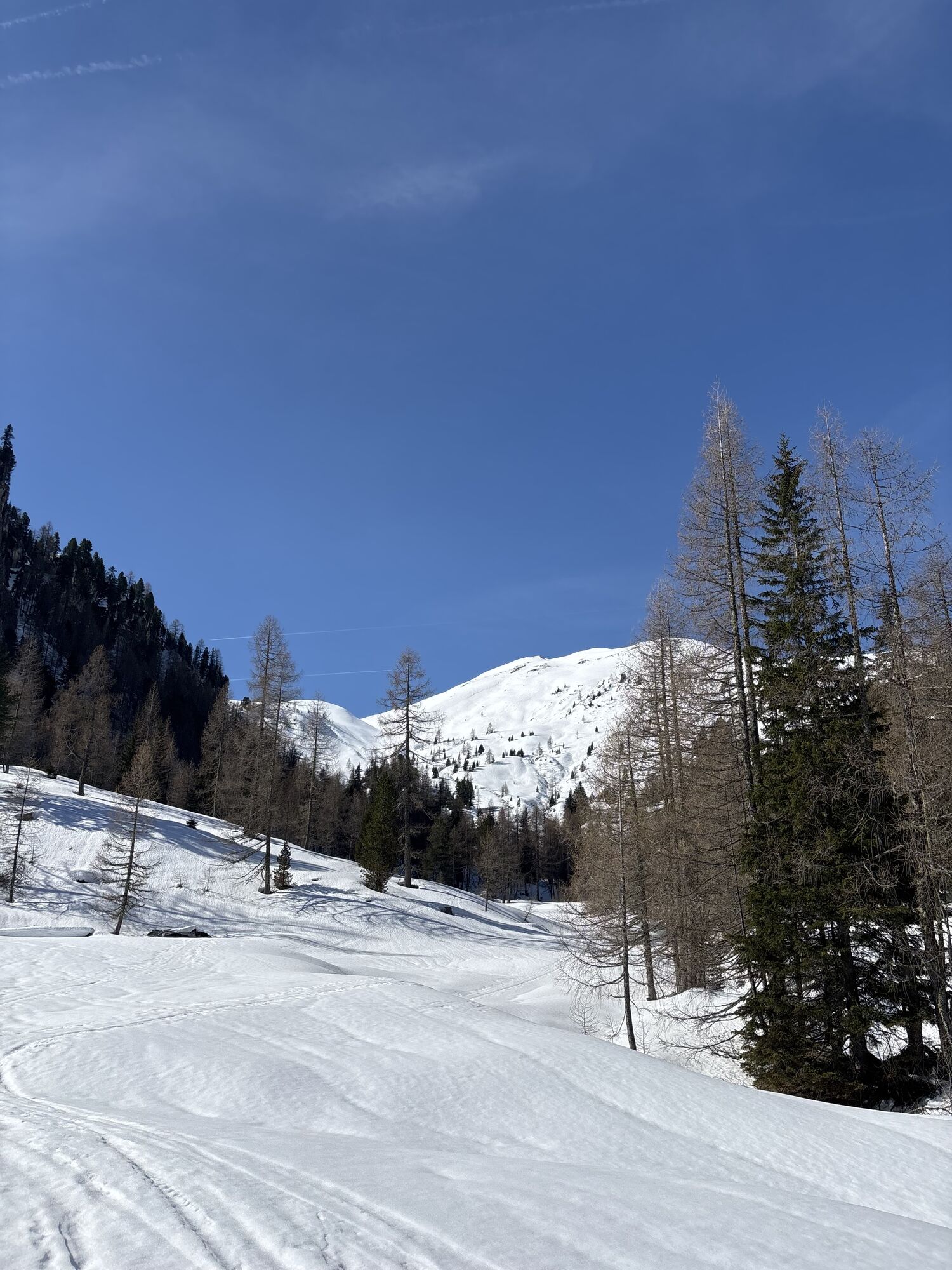
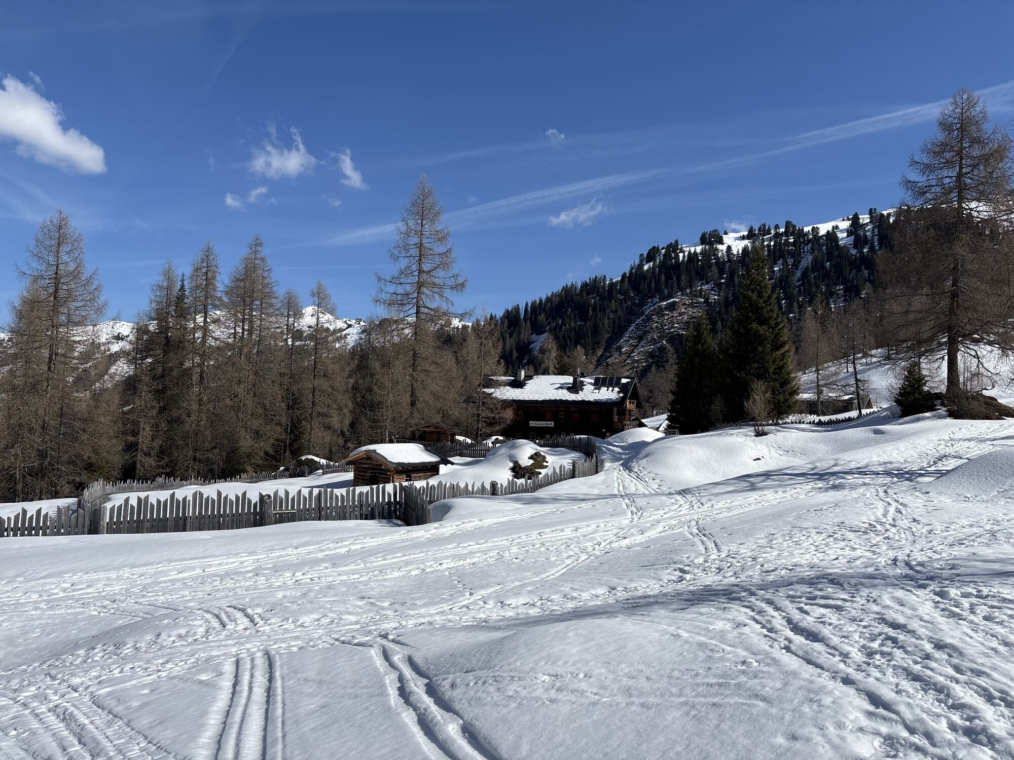
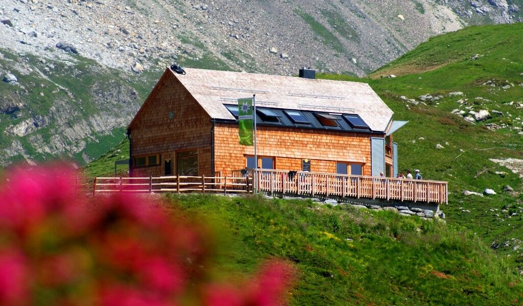
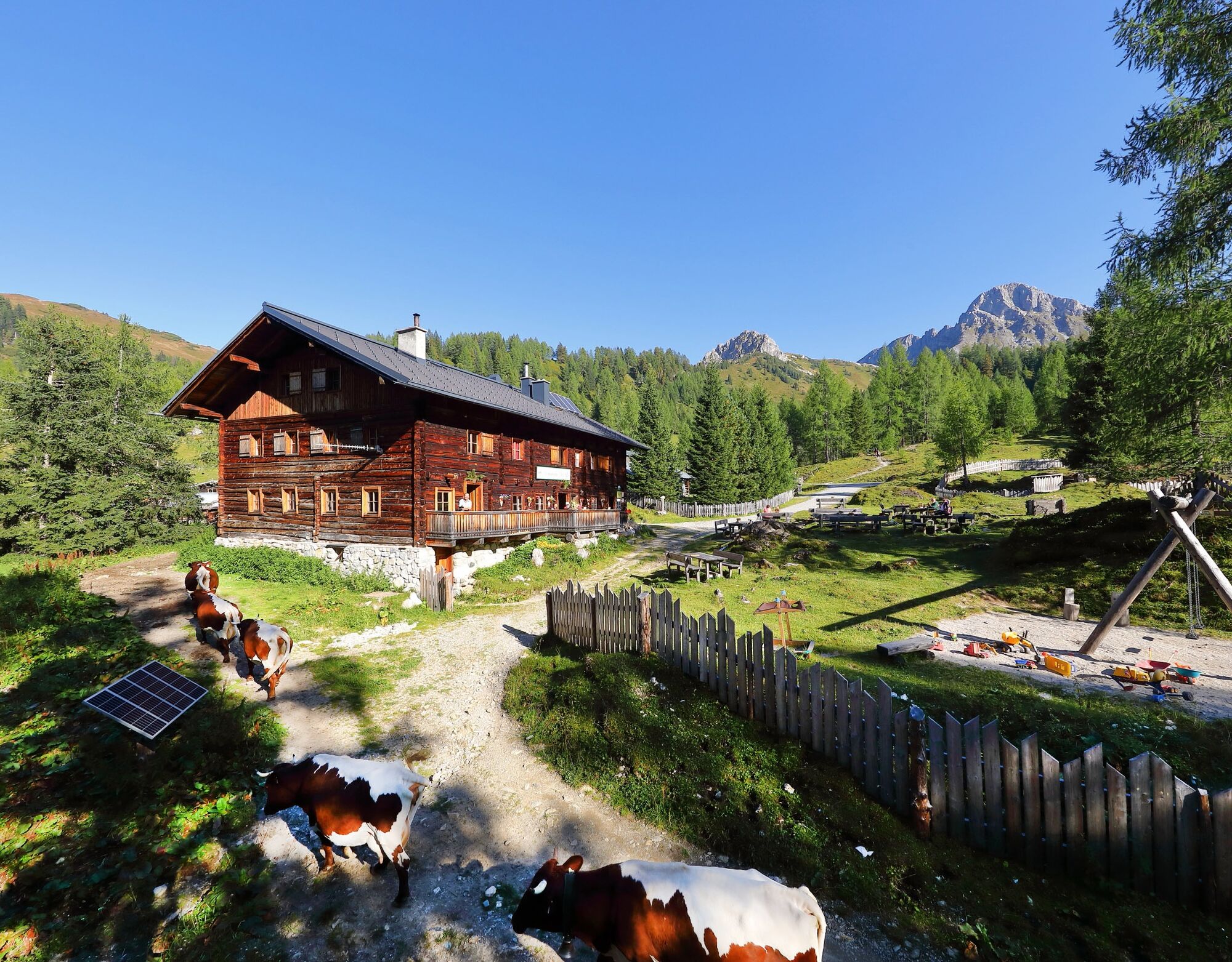
From here, the trail descends westwards towards the Draugsteinalmen, but above them, at a fork in the trail, take trail no. 54a at a wonderful altitude and with a corresponding panorama along the south-western flank of the mighty Draugstein to the 2,062-metre-high Filzmoossattel (from the aforementioned fork in the trail, the serviced Draugsteinalmen can be reached in 10 minutes). In any case, you should make the five-minute ascent from the Filzmoossattel in a westerly direction to the Filzmooshöhe with its imposing ctuning fork with hand-carved sun. Back at the Filzmoossattel, the alpine trail runs straight down via trail no. 57 to the Filzmoosalm (1,710 m), around 350 meters lower down, which is reached after around an hour's walk (without a detour to the Draugstein) and is run by Bettina and Manfred Huber: You should definitely try a traditional cheese or plank snack at the certified alpine summer hut. From here, a forest trail (trail no. 63) runs parallel along the slopes below Nebeleck and Herrenköpfl to the unmanaged Achtalm and from there a beautiful alpine trail partly through the forest and partly across alpine meadows to the Loosbühelalm, today's stage destination.
T2

Oblíbené prohlídky v okolí
- 4,9
Großarl: Aualm - Liechtensteinkopf - Aukopf - Schuhflicker - Schuhflickersee
středníTuristika 5,84 km - 5,0
Großarl: Alpine pasture circuit in Ellmautal
středníTuristika 9,69 km - 4,1
Tappenkarsee Kleinarl
středníTuristika 9,11 km - 4,7
Großarl: Mooslehenalm – Niggeltalalm – Viehhausalm
středníTuristika 5,44 km - 5,0
Hüttschlag: Karteistörl - Tappenkarsee - Draugsteintörl - Draugsteinalmen
středníTuristika 13,5 km - 4,9
Großarl: Bichlalm
středníMountainbike 18,9 km - 4,5
Mountain route from the Kötschachtal to the natural jewel Reedsee
středníTuristika 12,5 km - 4,4
"Elendrunde" Kleinelend Valley - Zwischenelendscharte - Großelend Valley
středníTuristika 21,9 km - 4,8
Höhenweg vom Grünen Baum bis Bad Hofgastein
světloTuristika 7,92 km - 4,8
Kölnbreinspeicher bis Osnabrücker Hütte
světloTuristika 15,9 km
Pěší turistika a stopování


Nenechte si ujít nabídky a inspiraci pro vaši příští dovolenou
Vaše e-mailová adresa byl přidán do poštovního seznamu.