






Salzburger Almenweg - Stage 13: Loosbühelalm - Gernkogel/St. Johann

Úroveň obtížnosti: T2
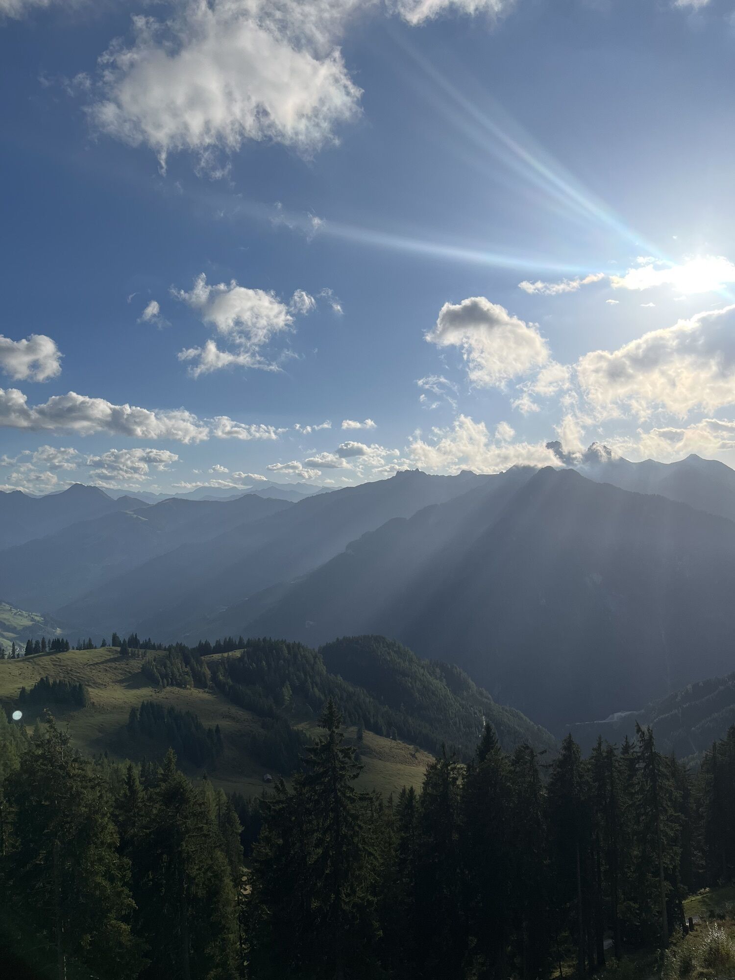
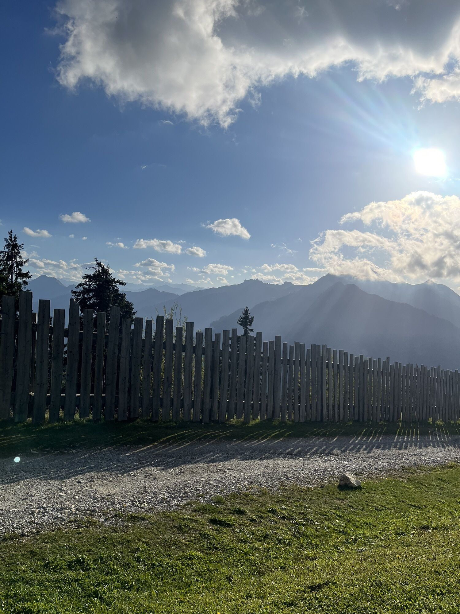
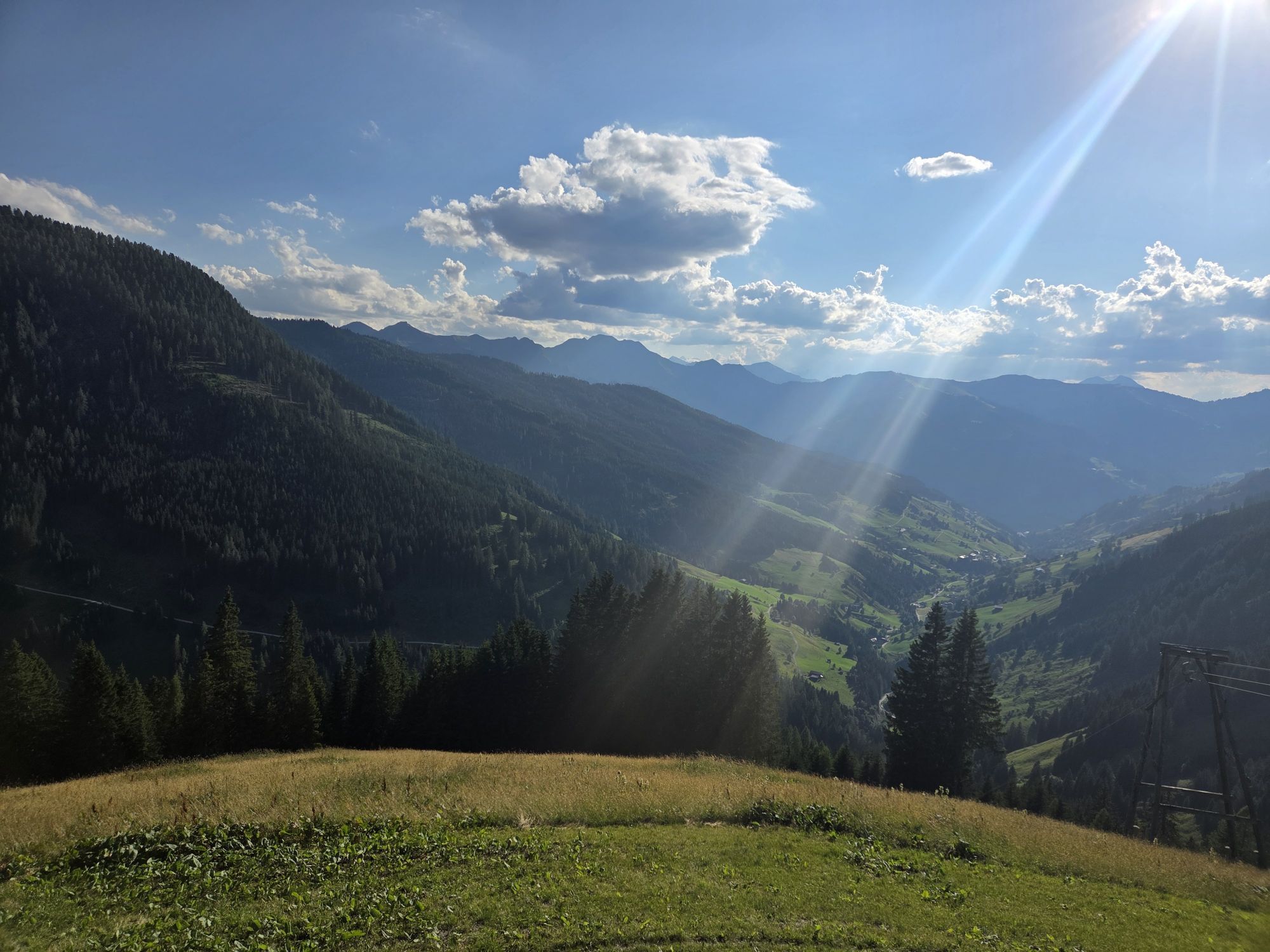
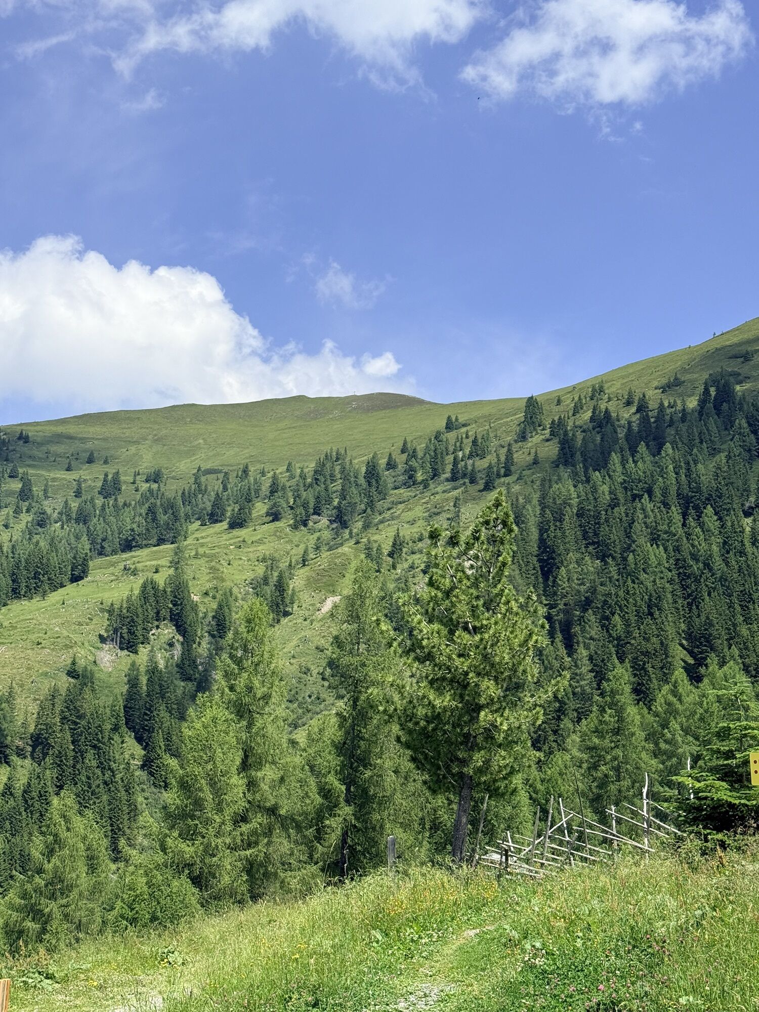
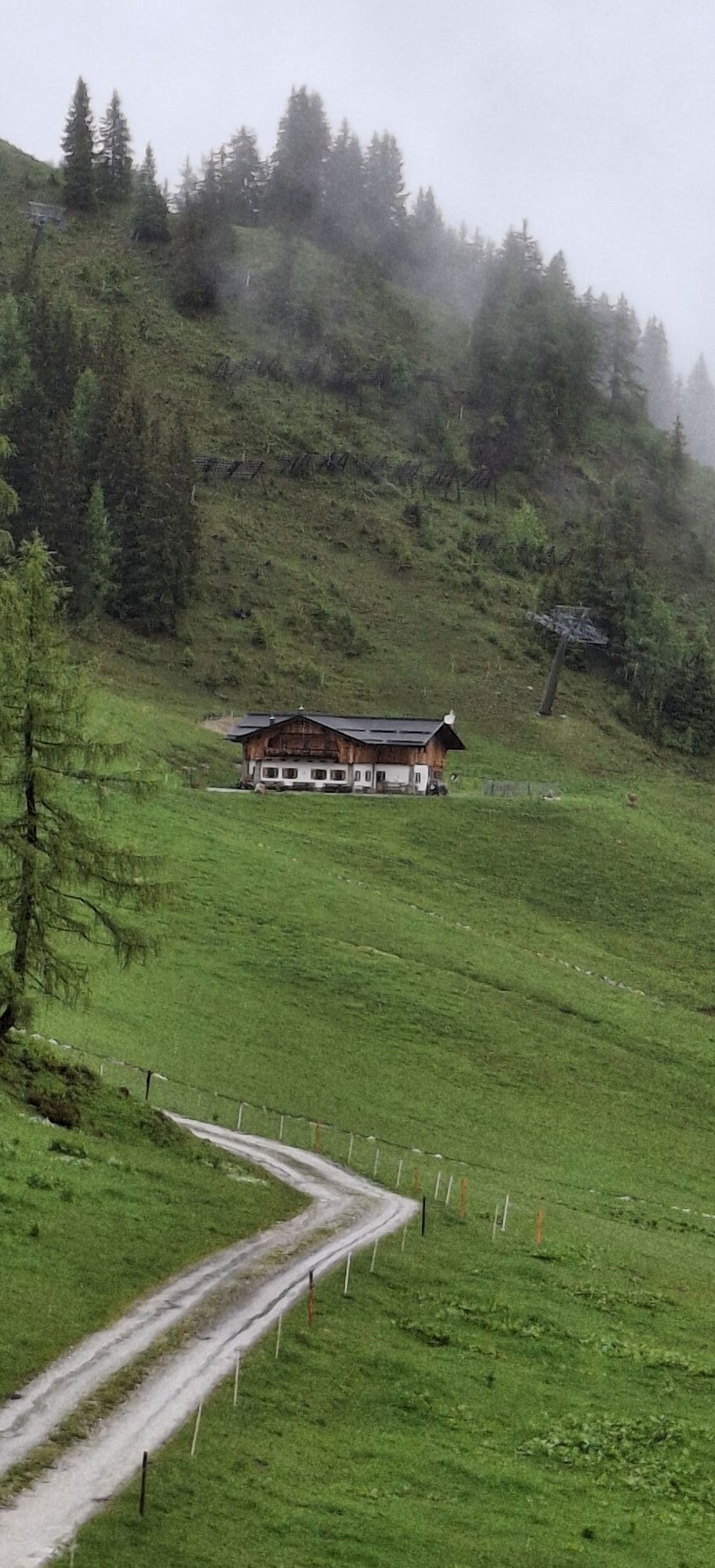
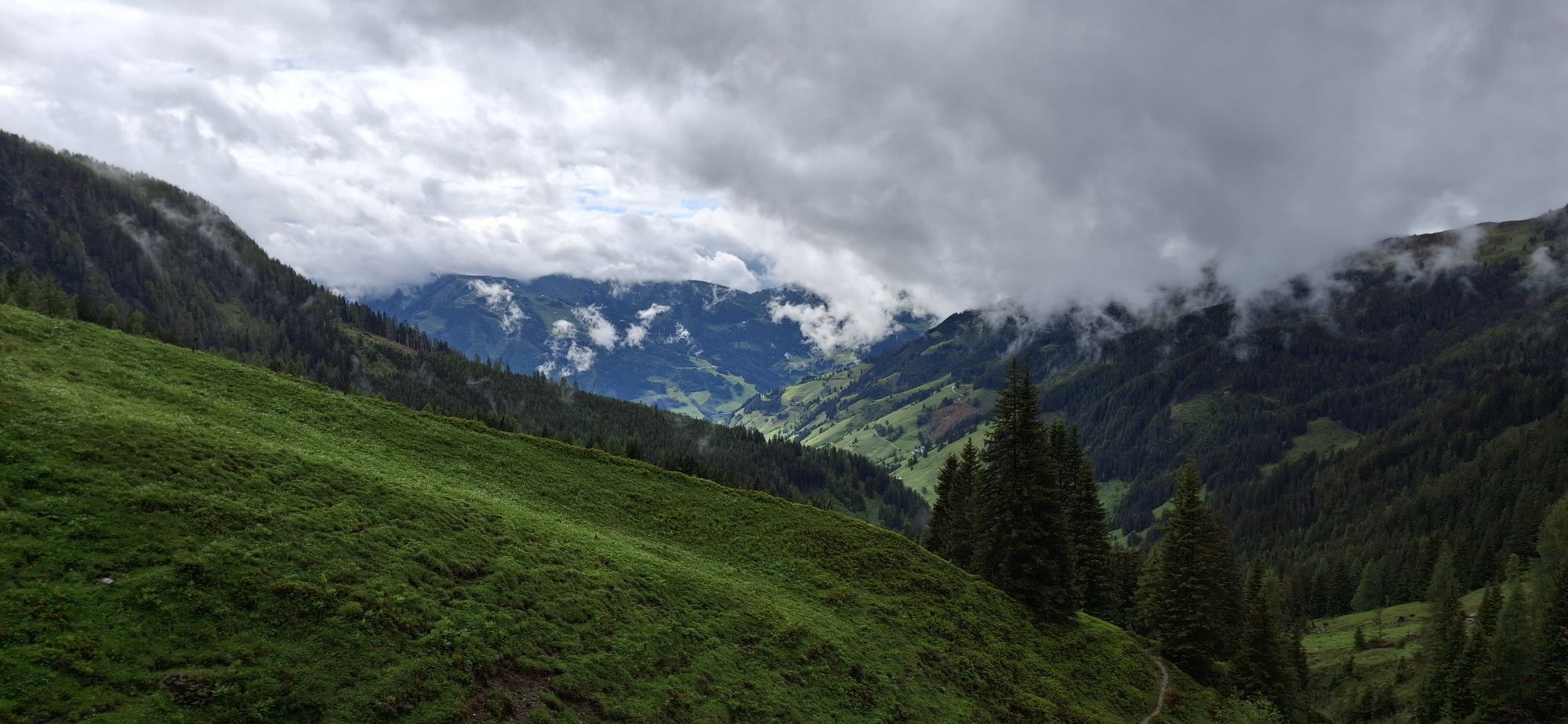
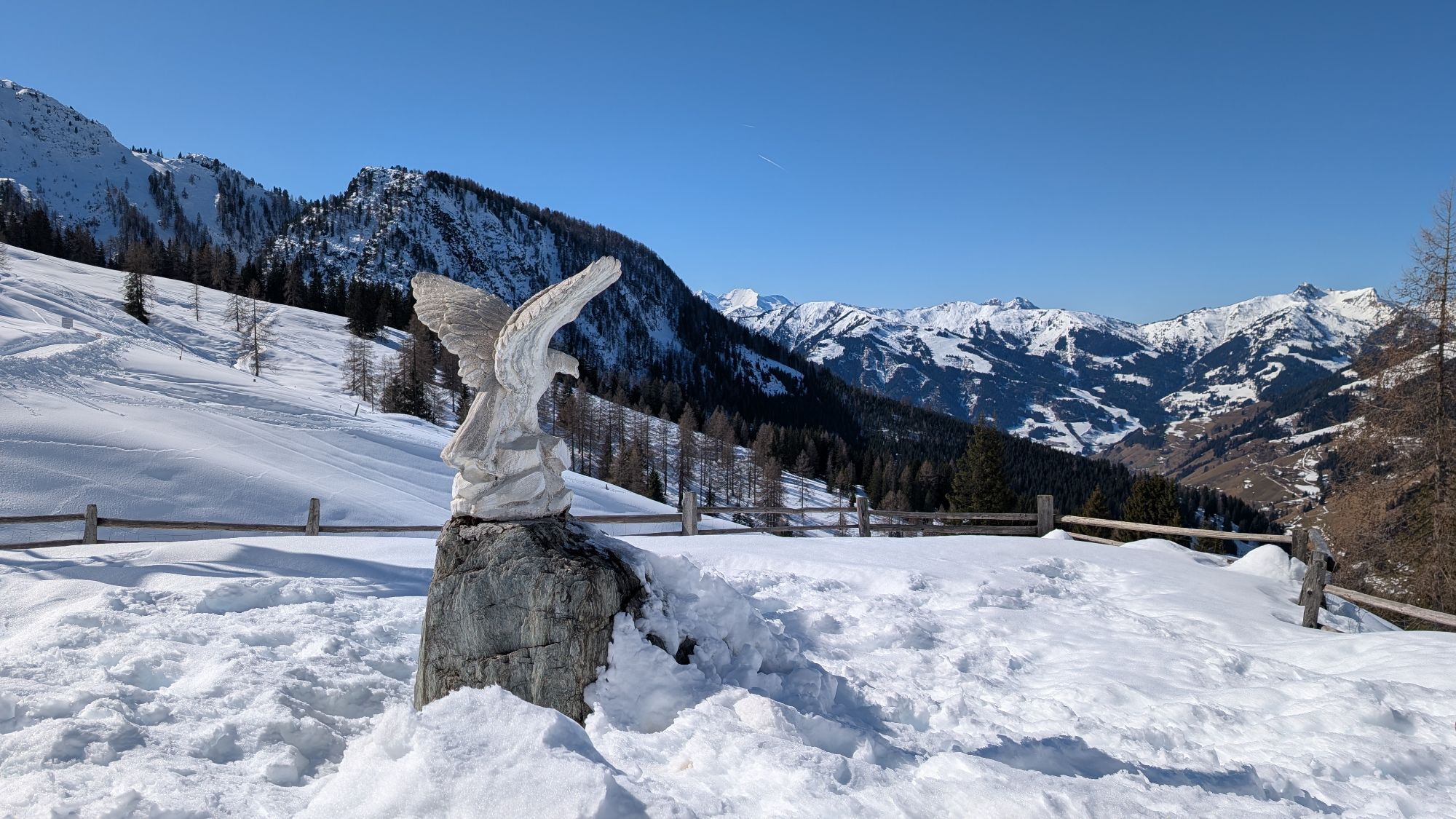
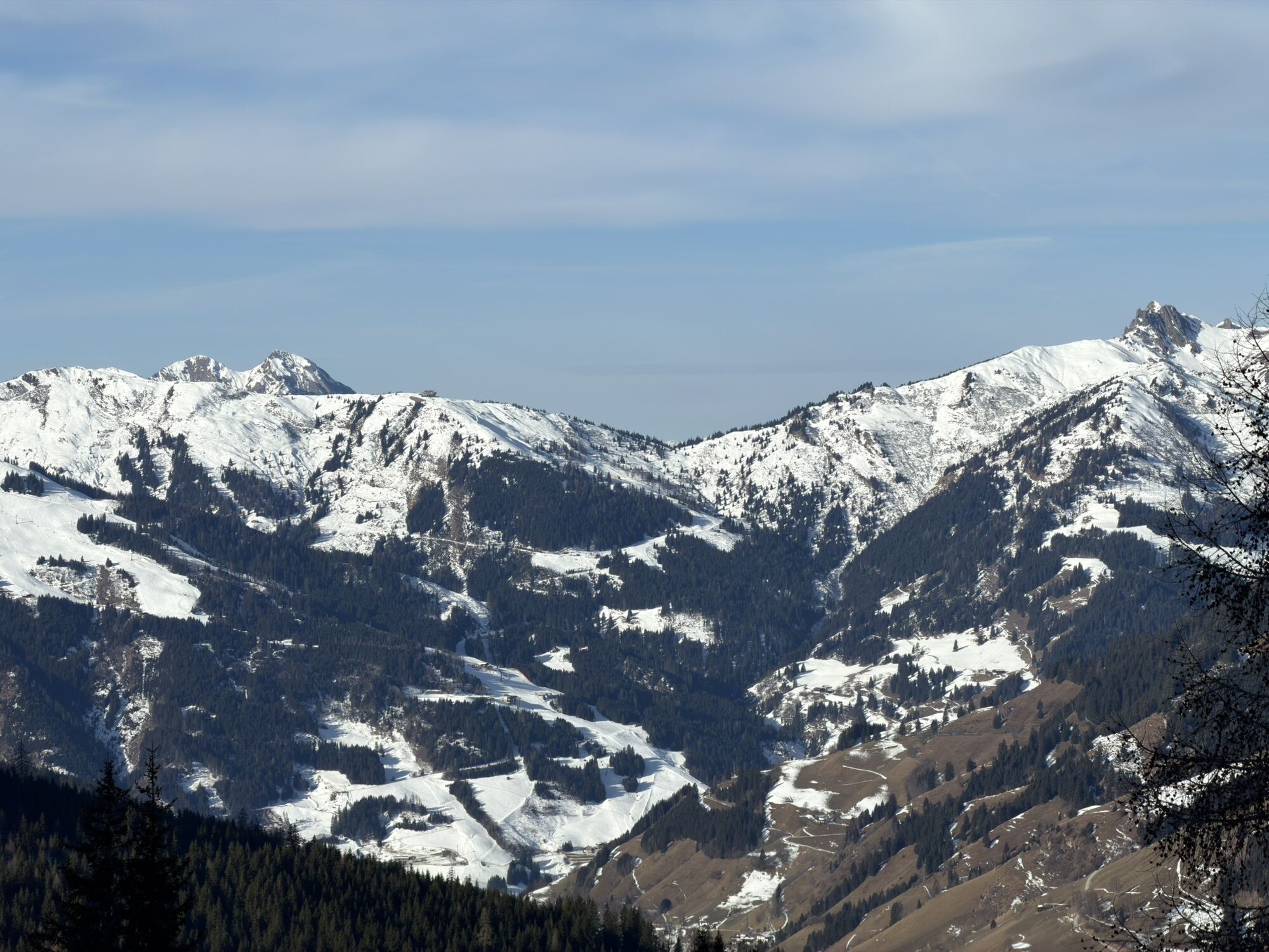
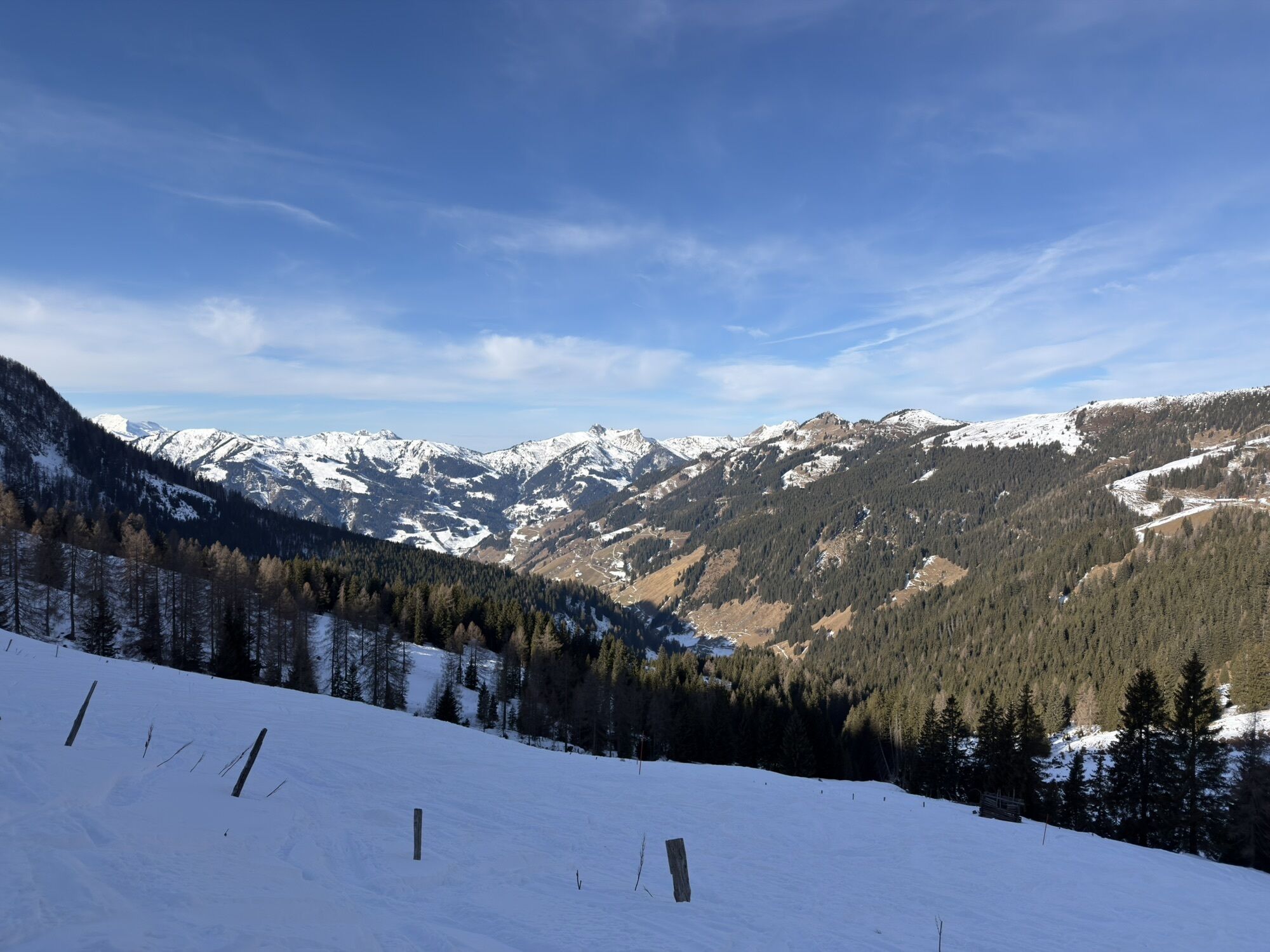

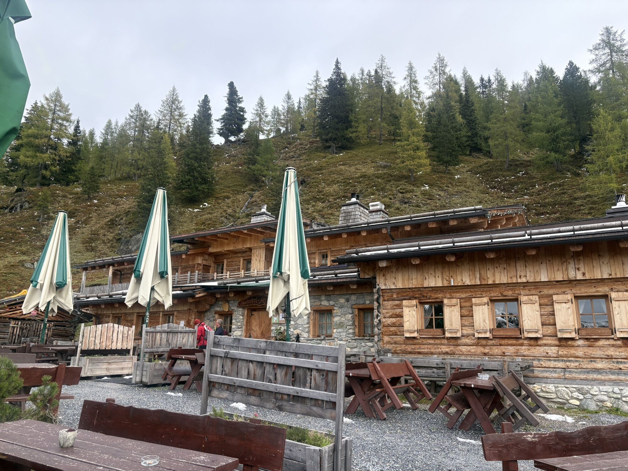
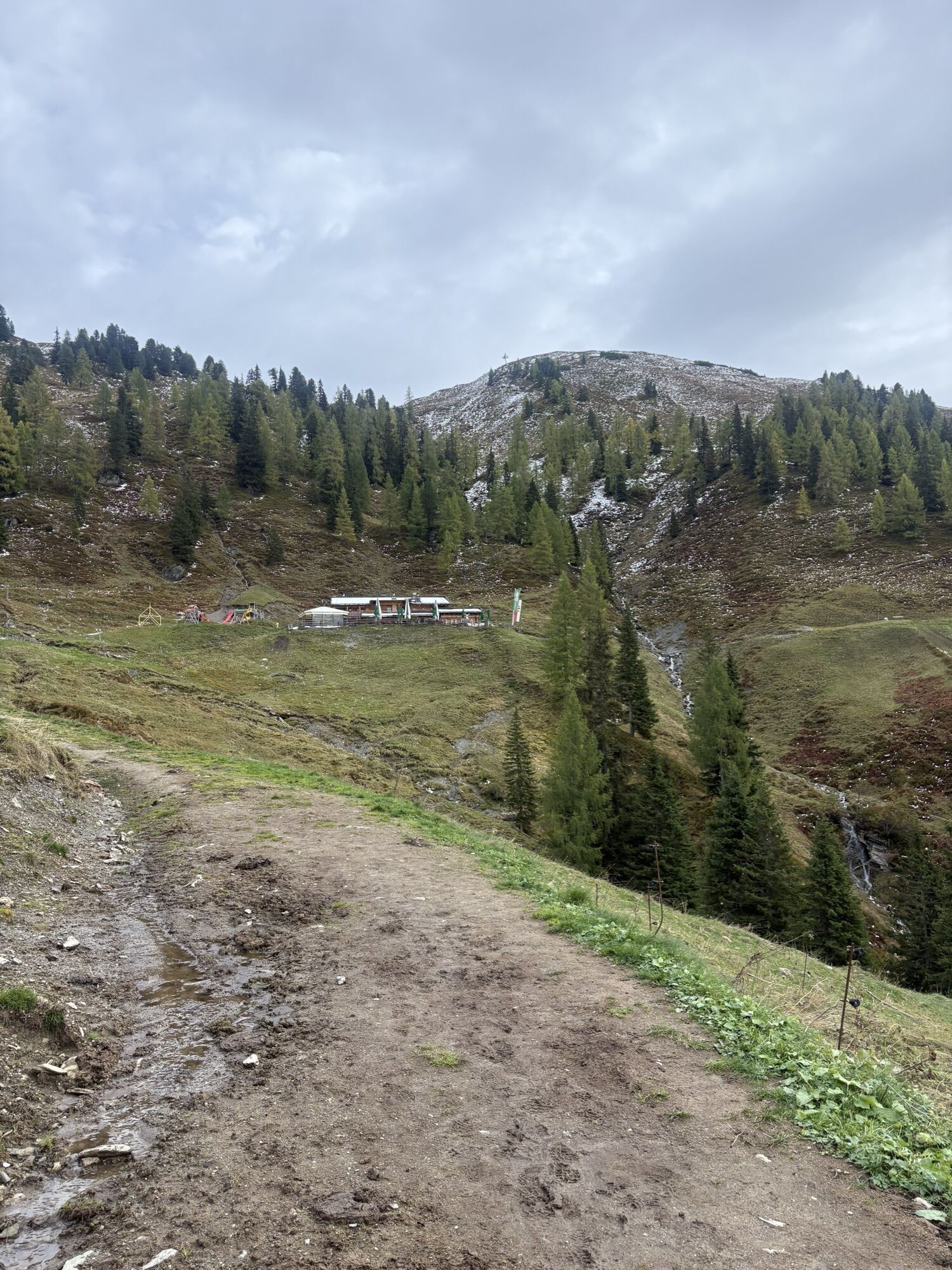
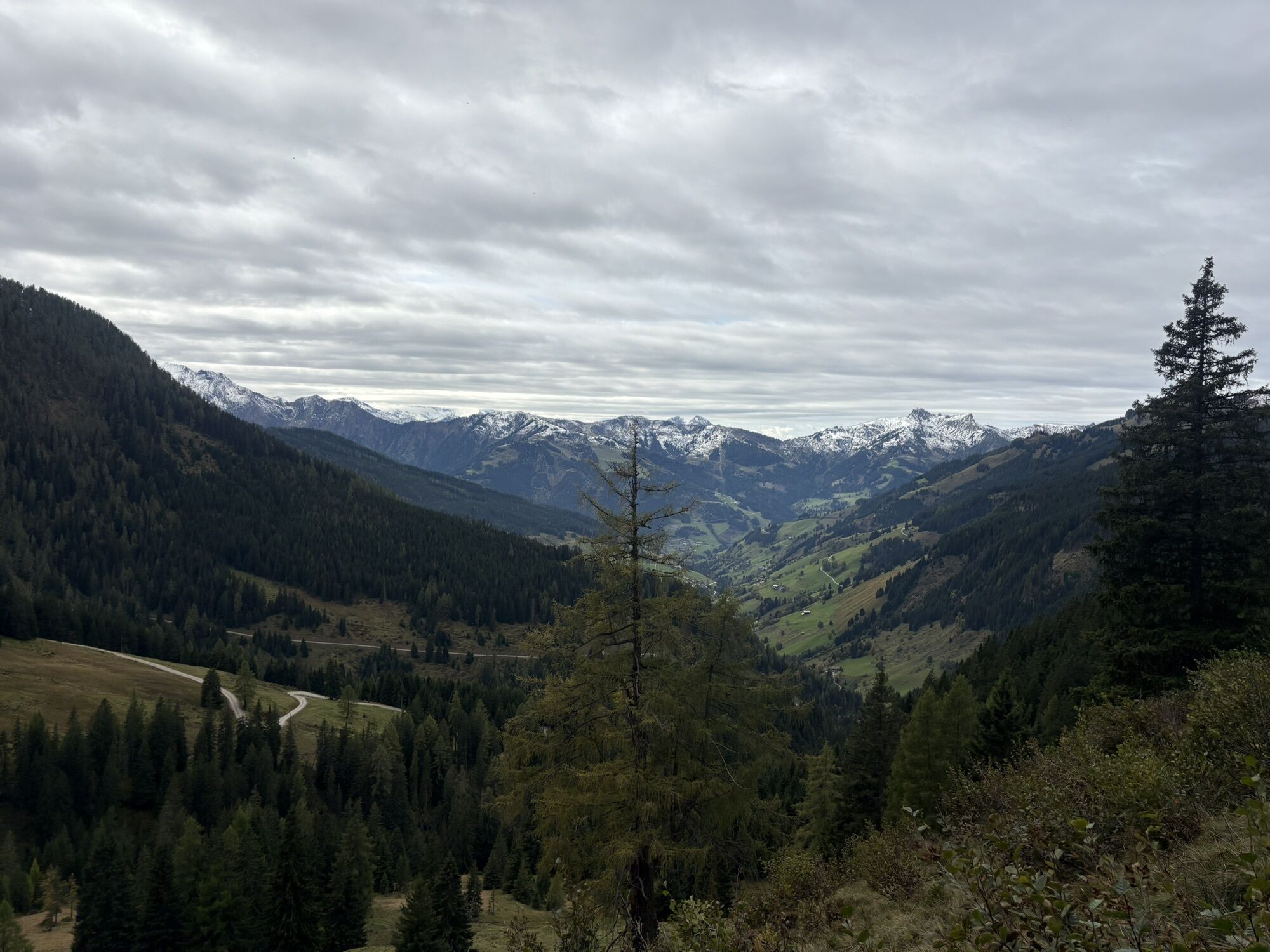
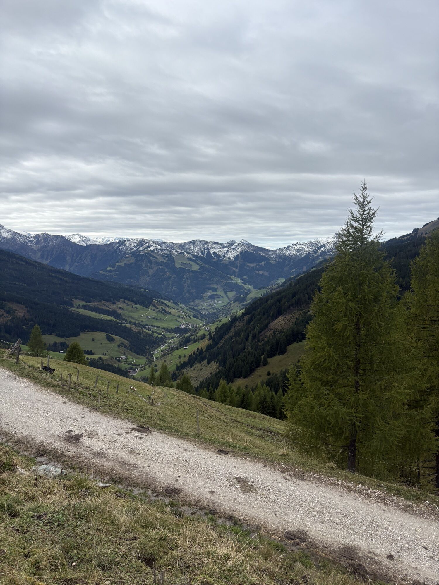
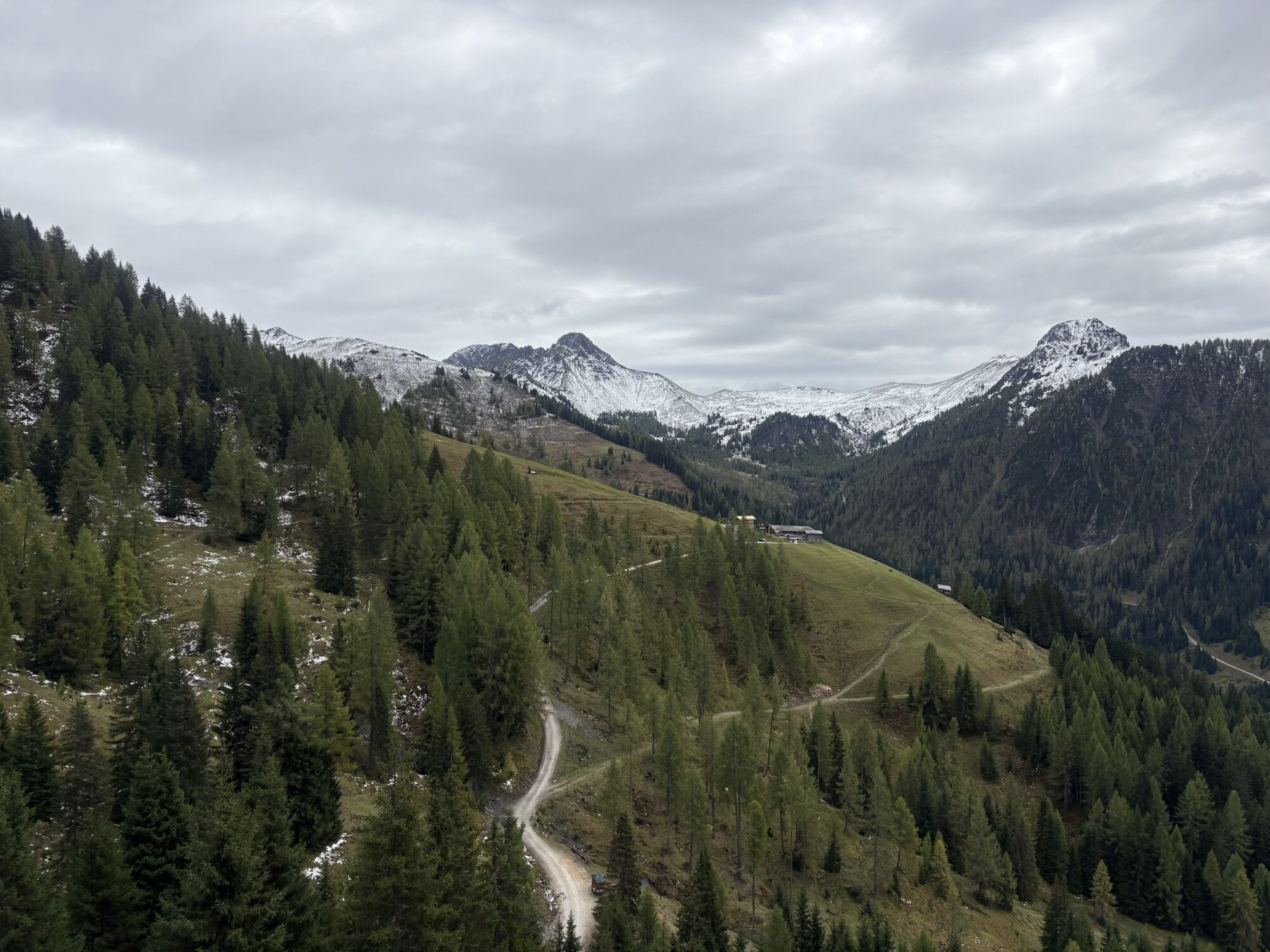
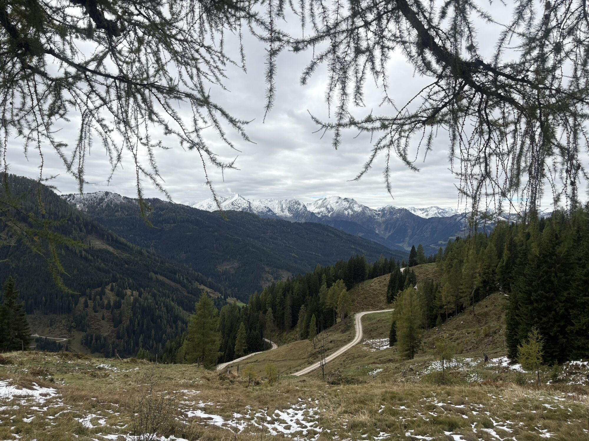

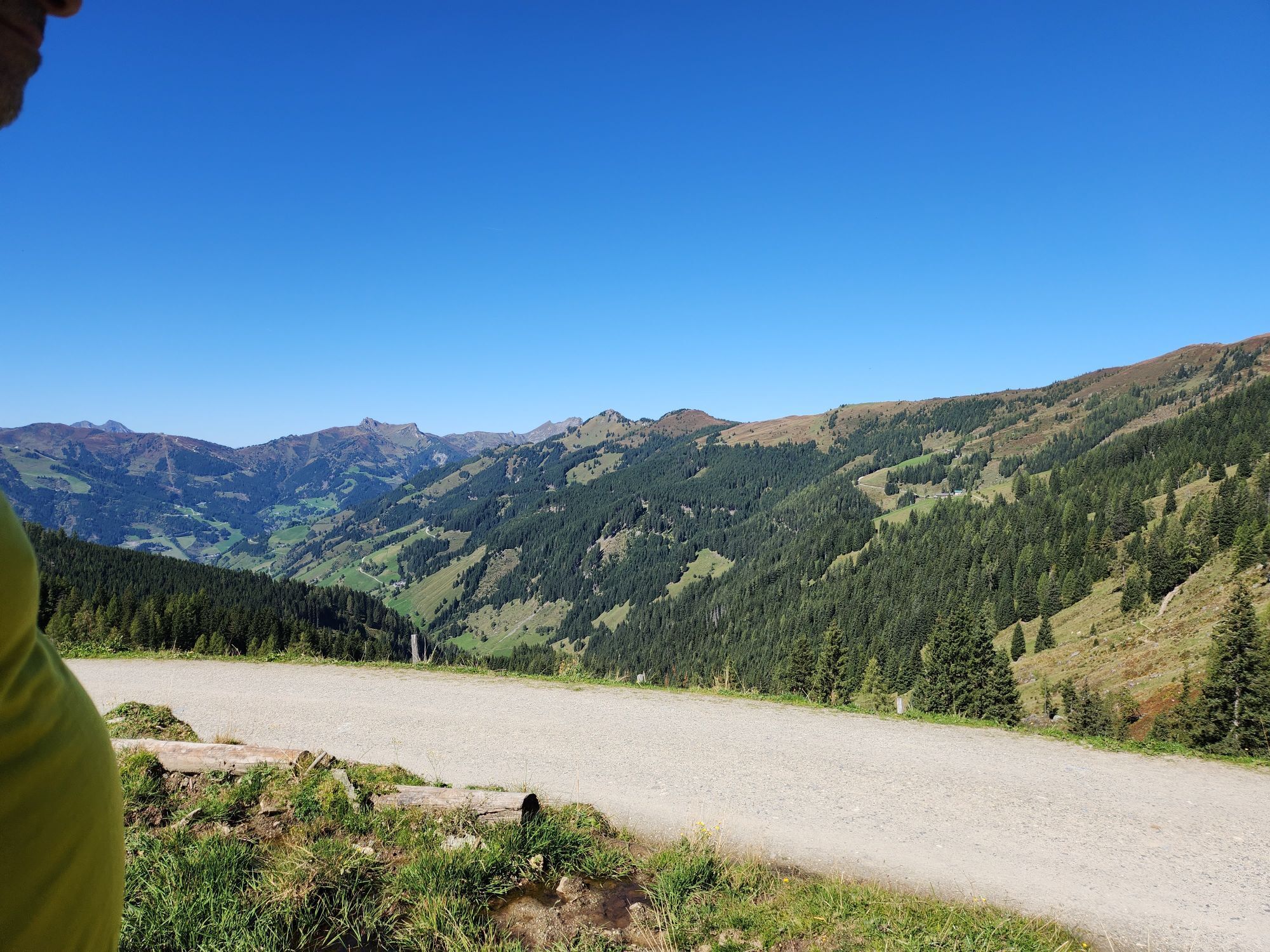
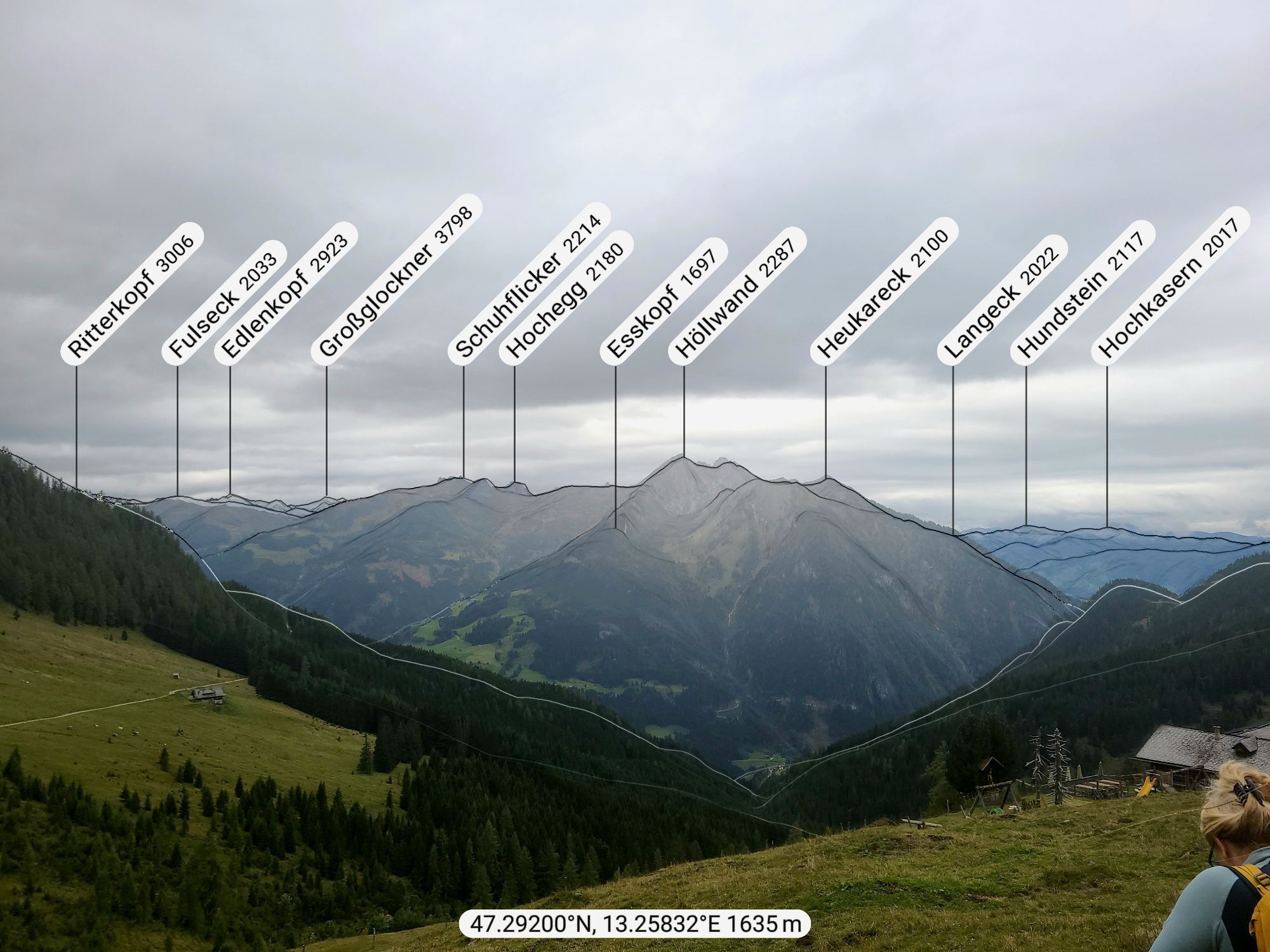

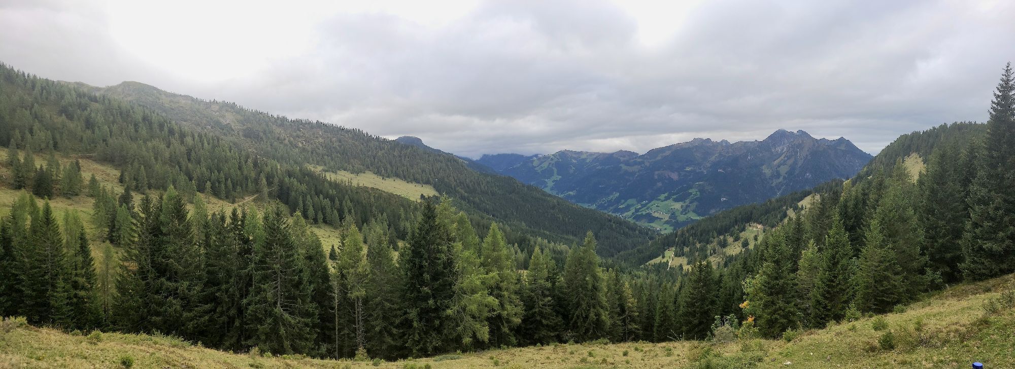
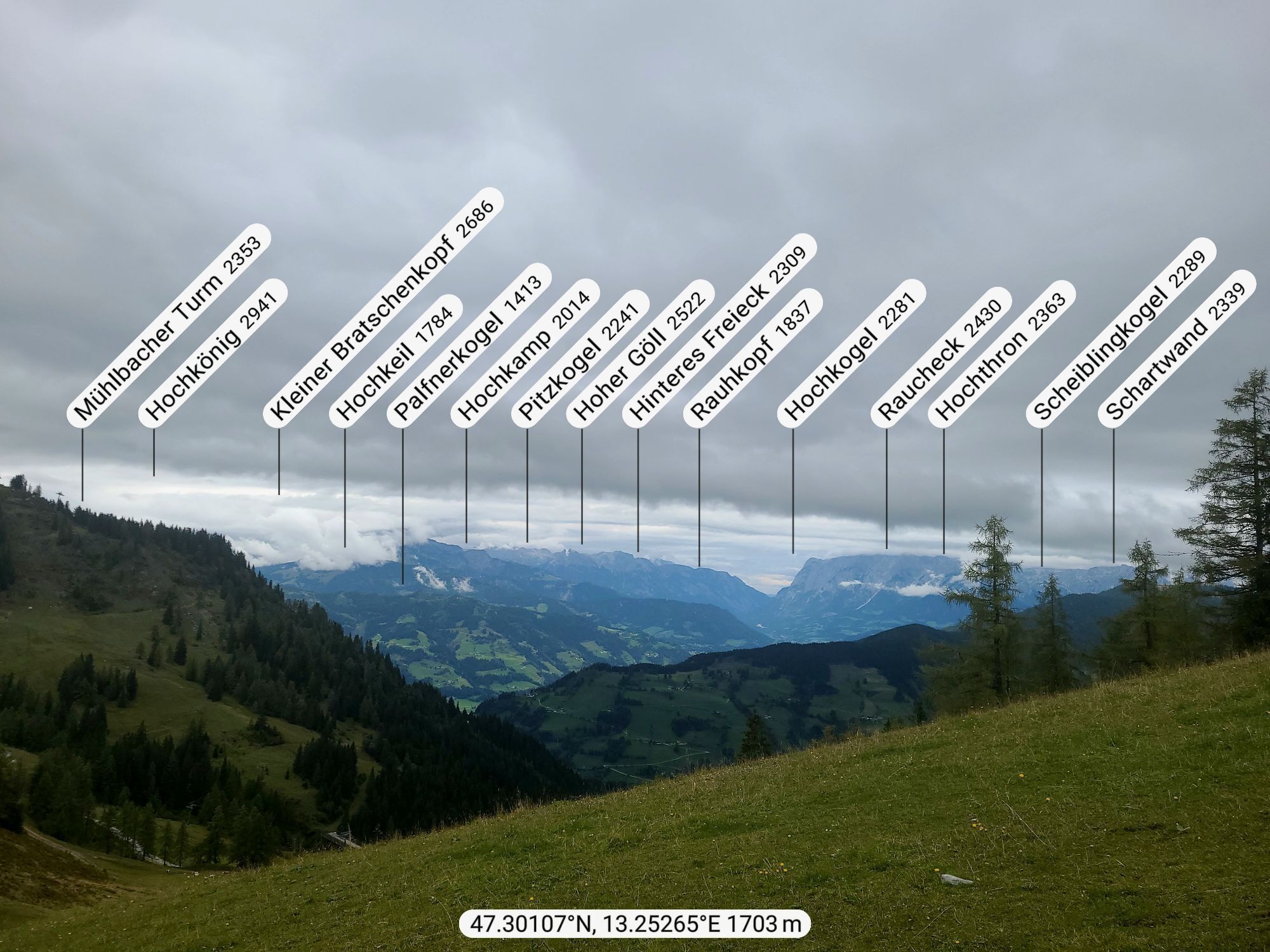
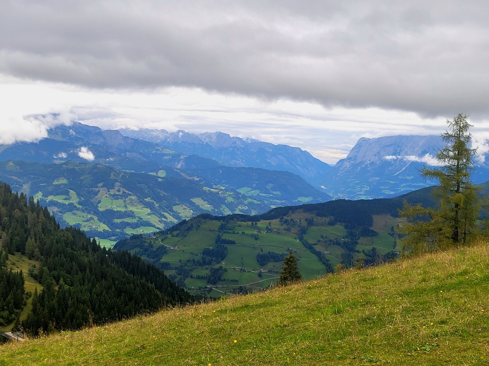
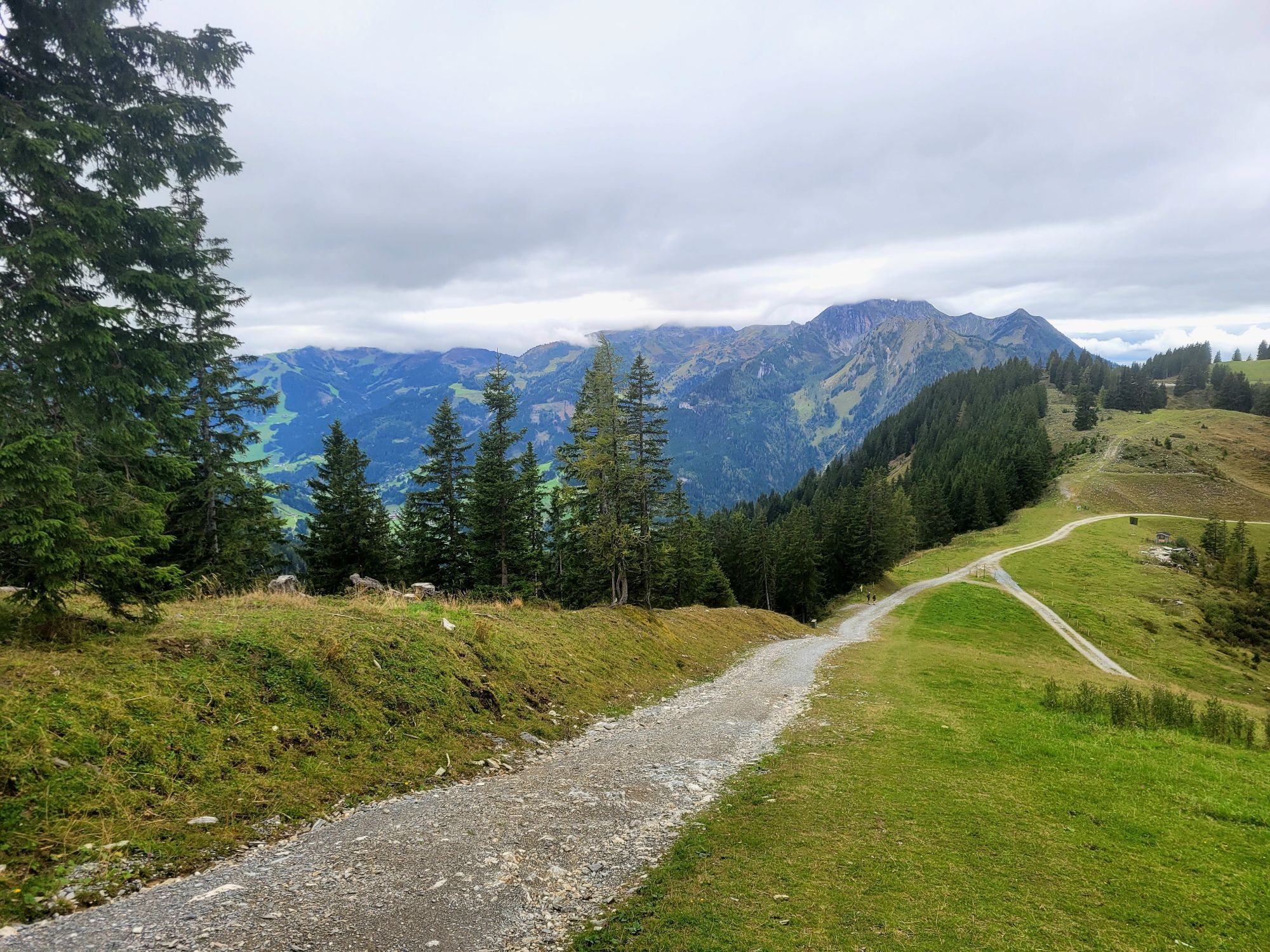
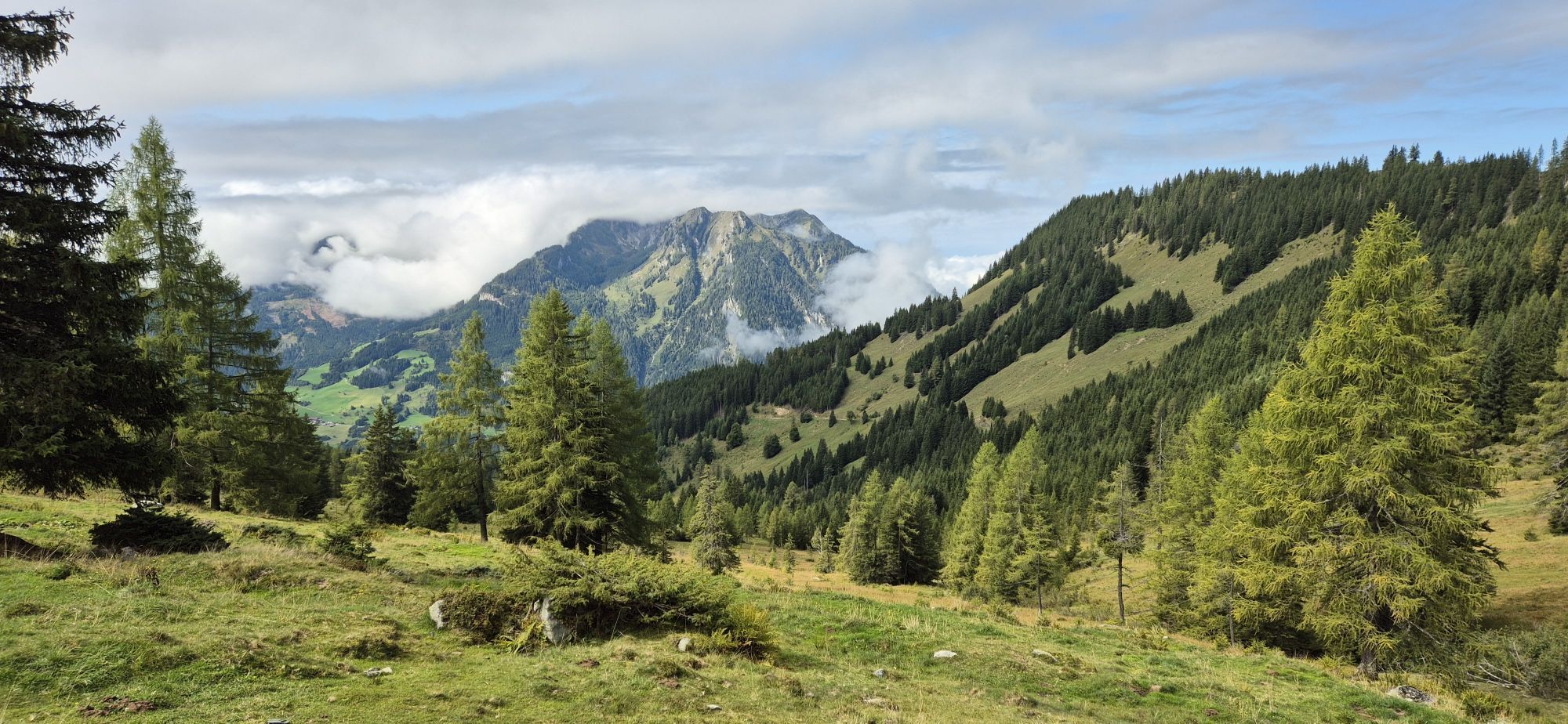
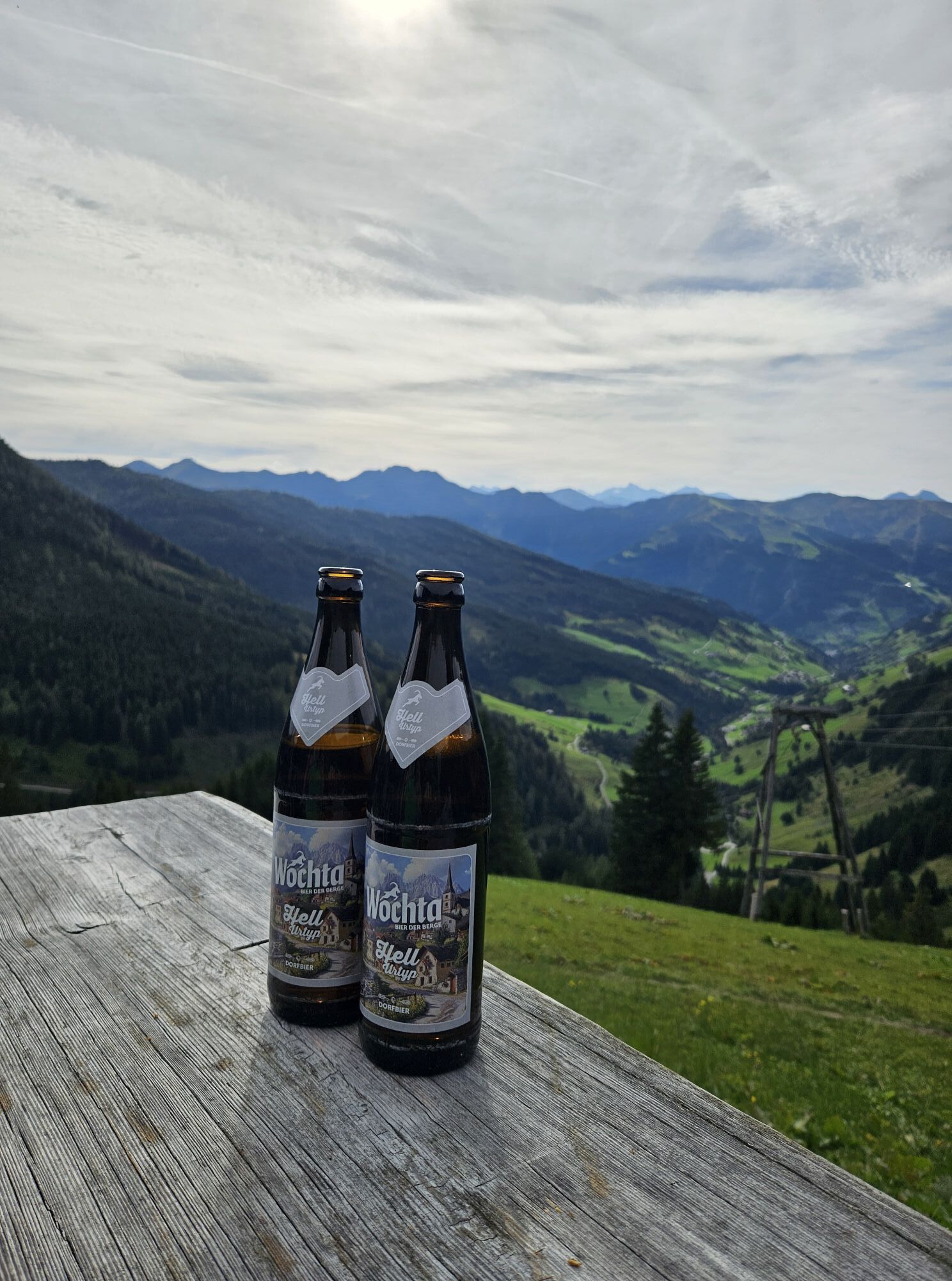
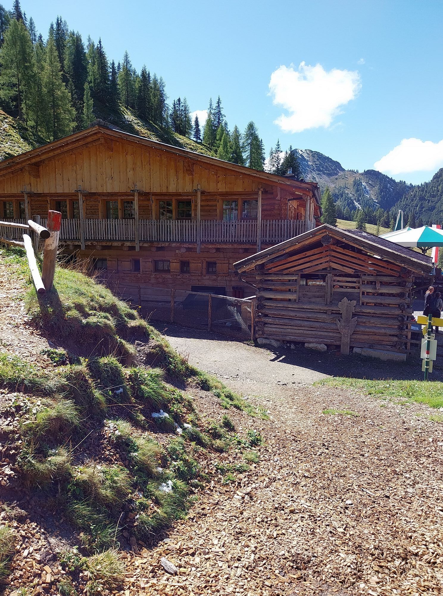
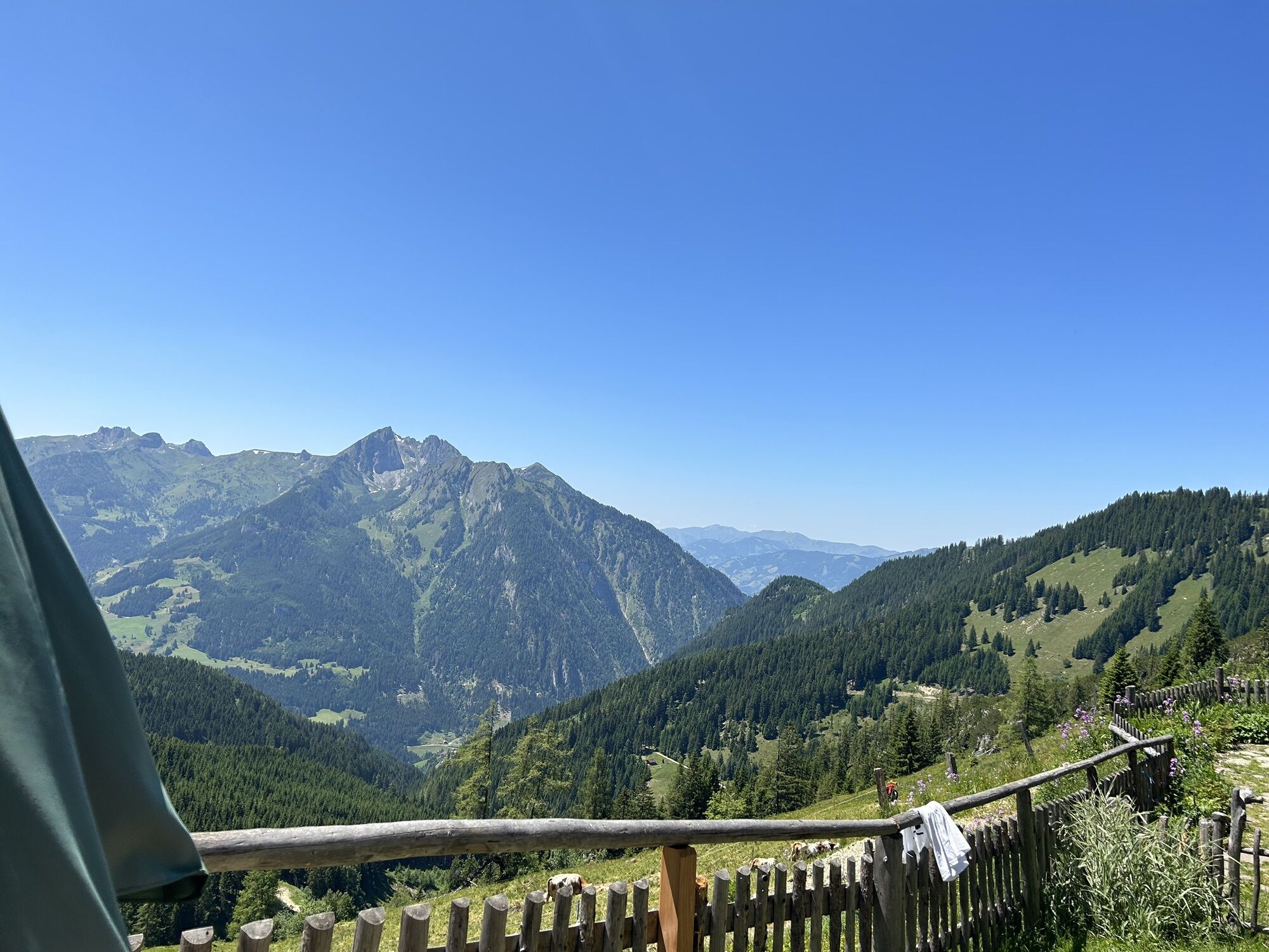
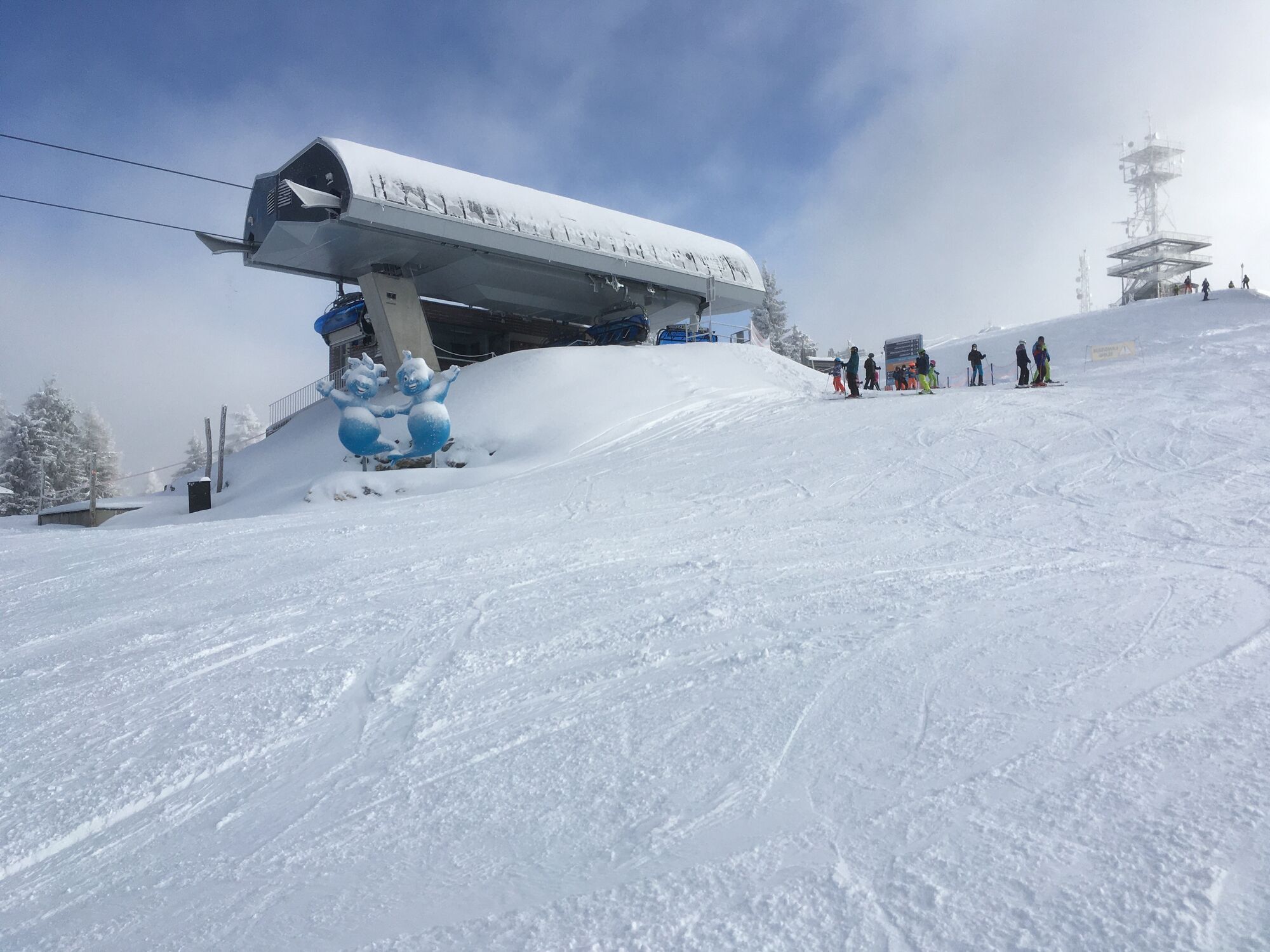
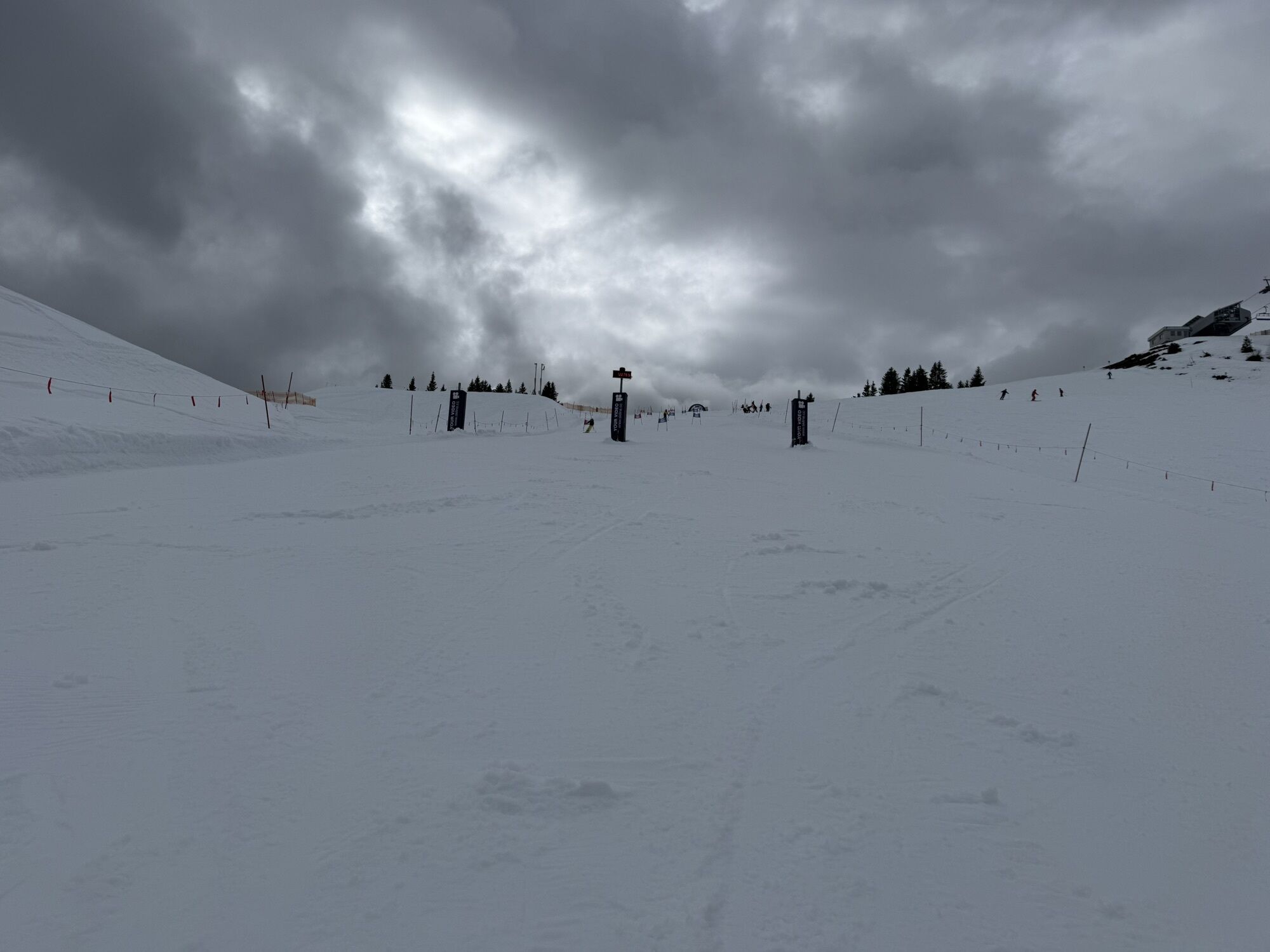
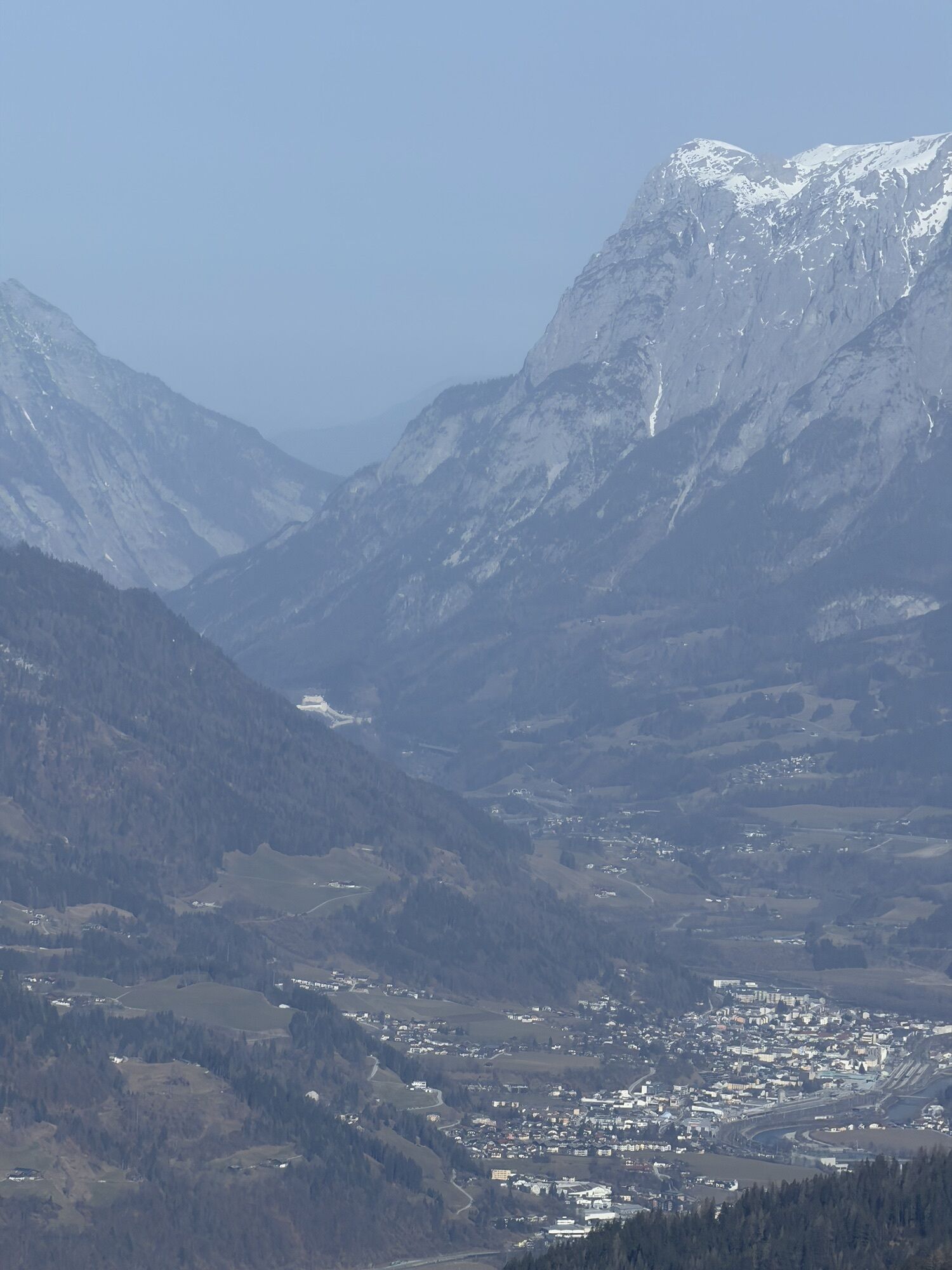
At 3,798 meters, the Grossglockner is not only the highest mountain in Austria, but also a glacier giant of outstanding radiance and magic. It forms the focal point of the Hohe Tauern National Park and...
Along the way
Small, deep black moor lakes can be found again and again in the mountains of the Salzburger Pongau. Hikers will be familiar with the raised bog on the Gerzkopf in Eben, the "Himmelsteiche" on the Lackenalmen in Altenmarkt or the Trögseen in the Grossarl Valley. These 15 to 20 "Lacken" are distributed between the two ridges of the Gründegg. The fauna and flora around the moor lakes is extraordinarily diverse, with alpine roses, anemones, gentian, cotton grass and rare dragonflies. This unique natural landscape is undoubtedly one of the most beautiful parts of the entire Grossarltal valley.
Almenweg strengthening
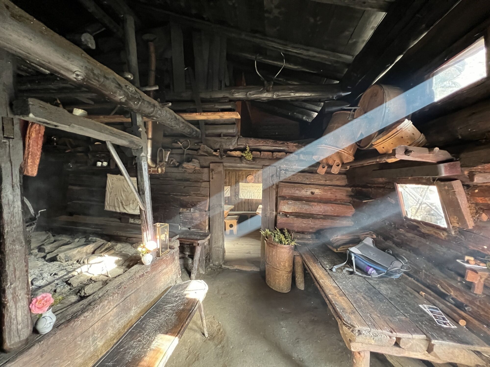
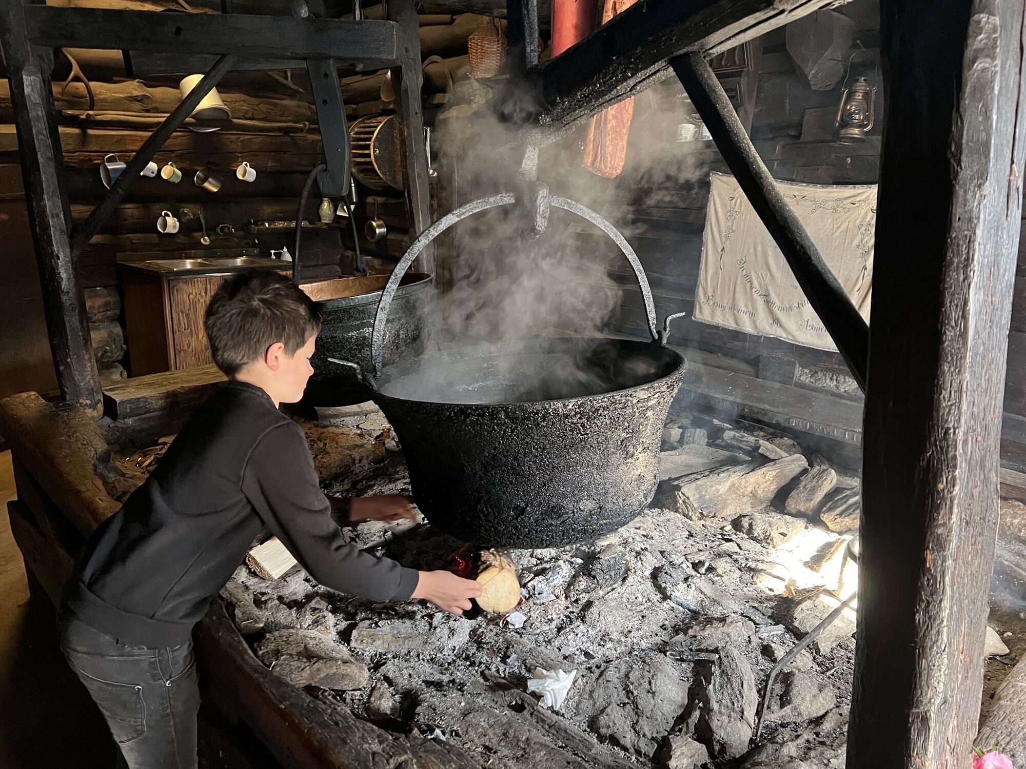
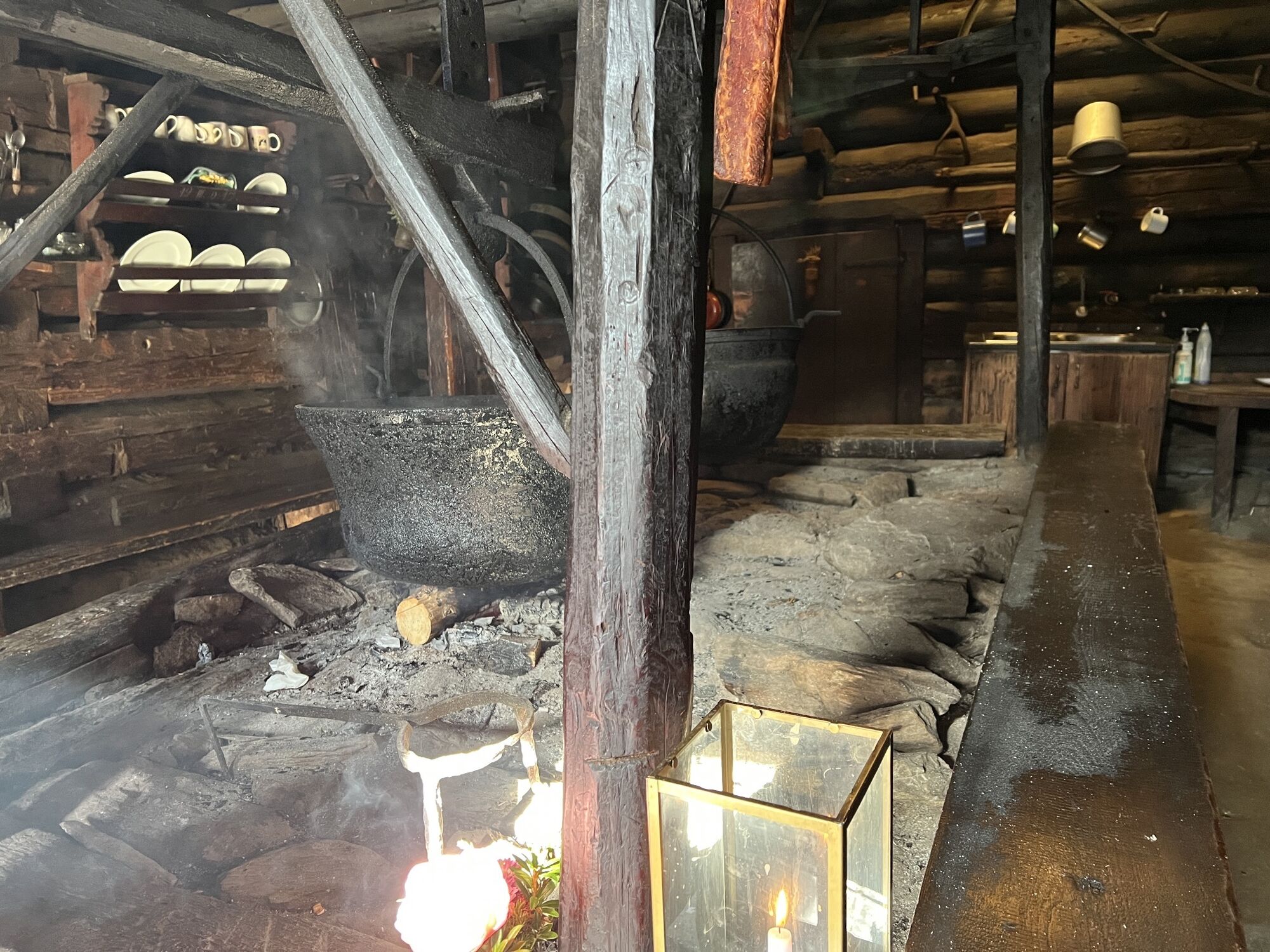
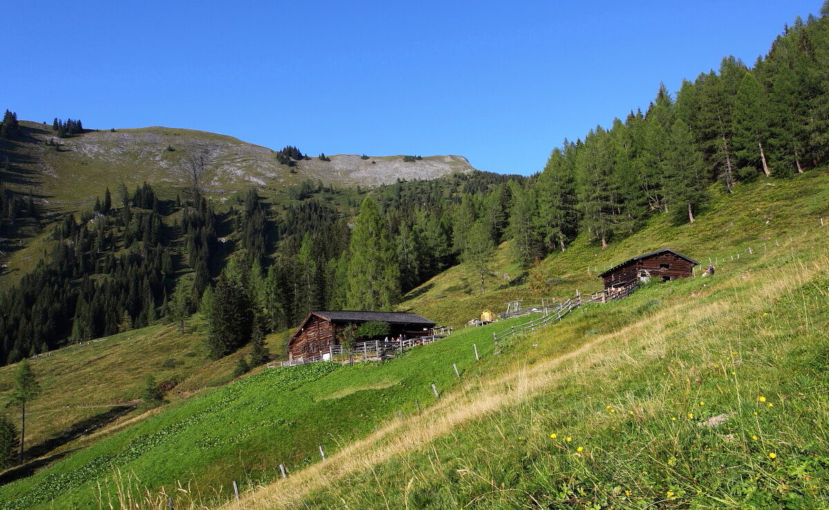
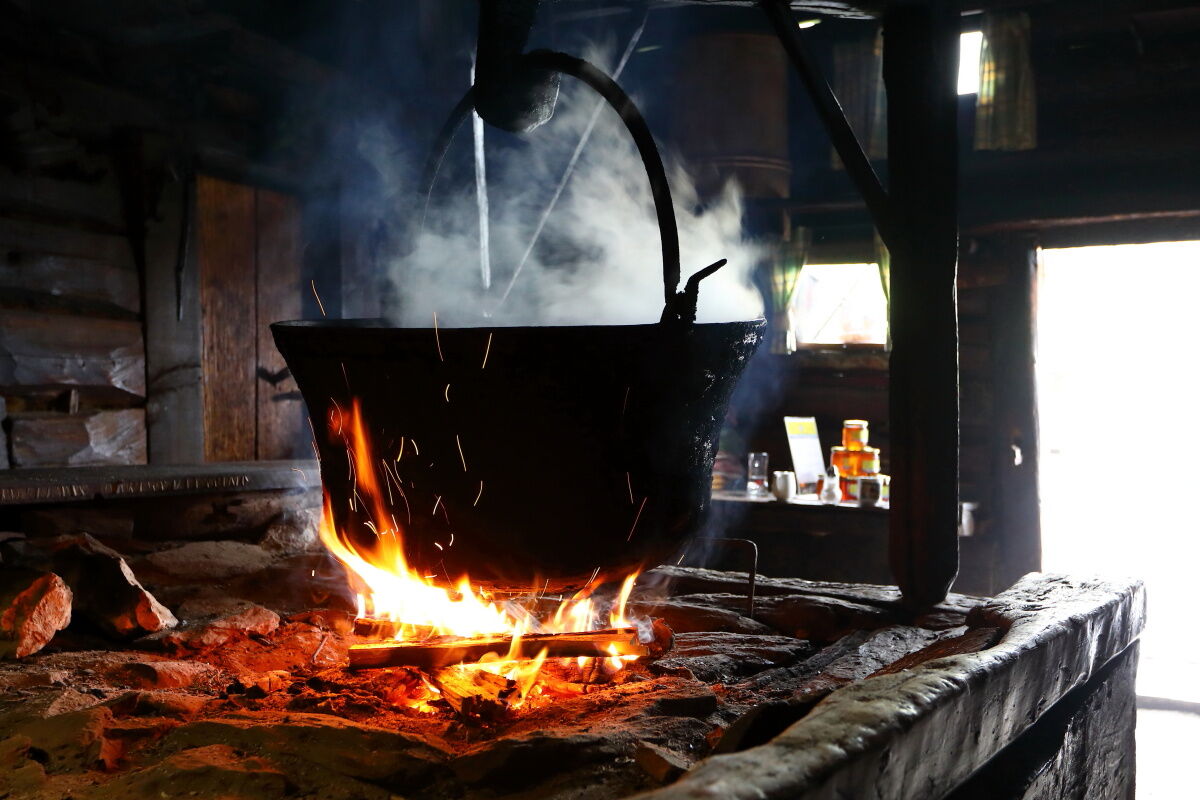
The 400-year-old Karseggalm is one of the oldest huts in the Grossarl Valley, and it looks exactly the same: A mighty elder bush flanks the entrance adorned with alpine roses, smoke billows out of the open door and a fire flickers inside. An open fireplace, soot-blackened wood, two cauldrons - one filled with cheese and the other with water - and the rammed earth floor are reminiscent of times long past. On the beams above the fire, a Großarl specialty matures that is only made here: The kneaded cheese, which is served like finely grated Parmesan as a board or cheese snack. In summer, hikers can watch the dairymaid at work in the dairy once a week.
Alpine pasture trail tip
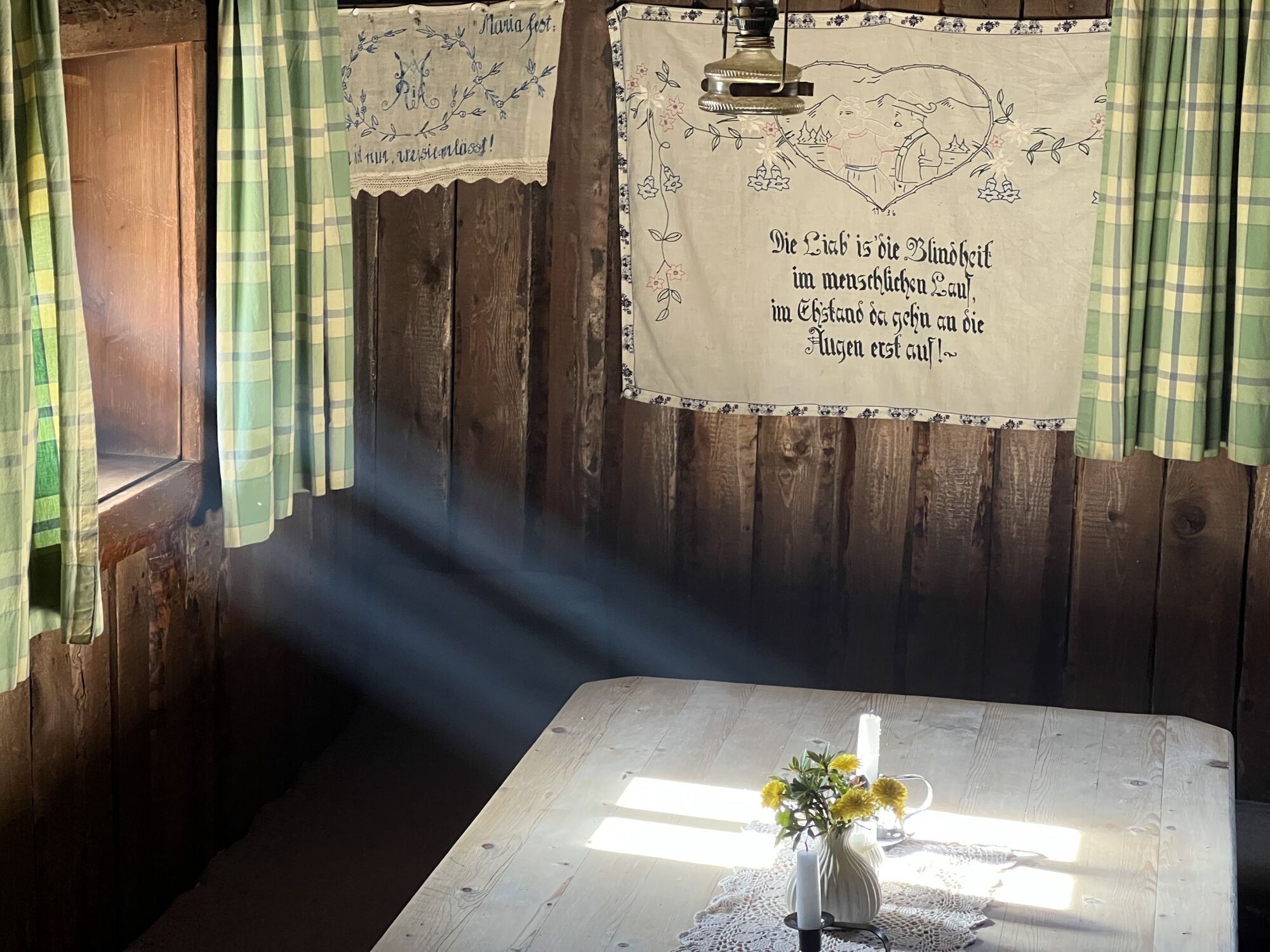
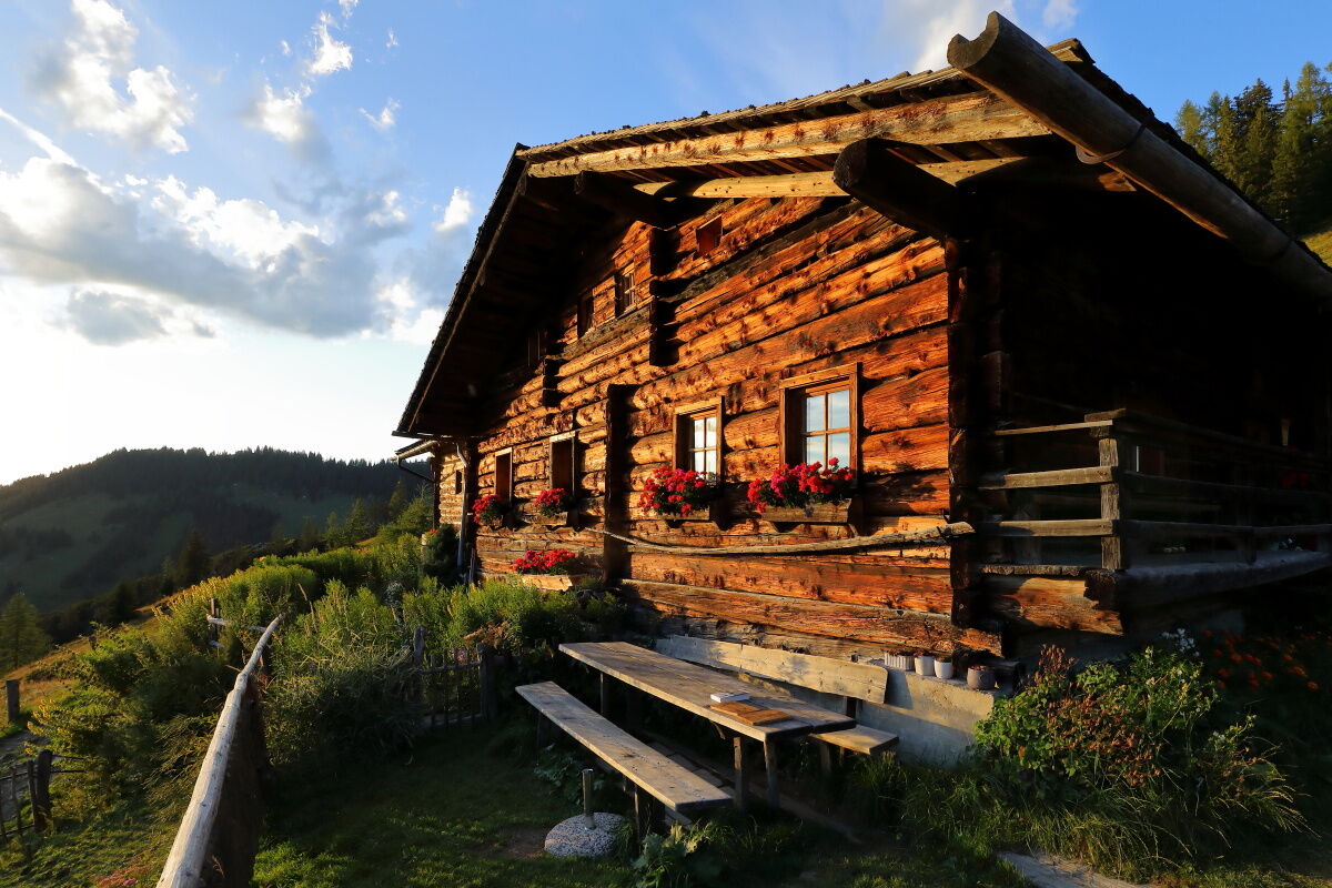
The centuries-old Weißalm has been carefully restored: The original open fireplace has been used for generations to make sour cheese, which is produced directly on the alpine pasture or on the farm alongside sausage, bacon, smoked beef, bread, butter and various schnapps. The lovingly furnished hut with its old tools is reminiscent of days long gone and the hard work in the mountains. An amazing collection of rock crystals, which were found not far from the hut, can be found in a display case.
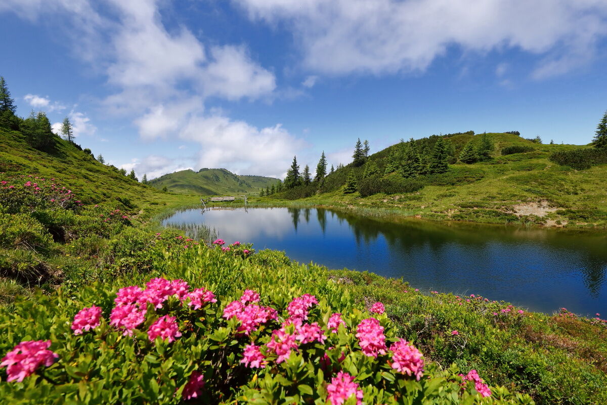
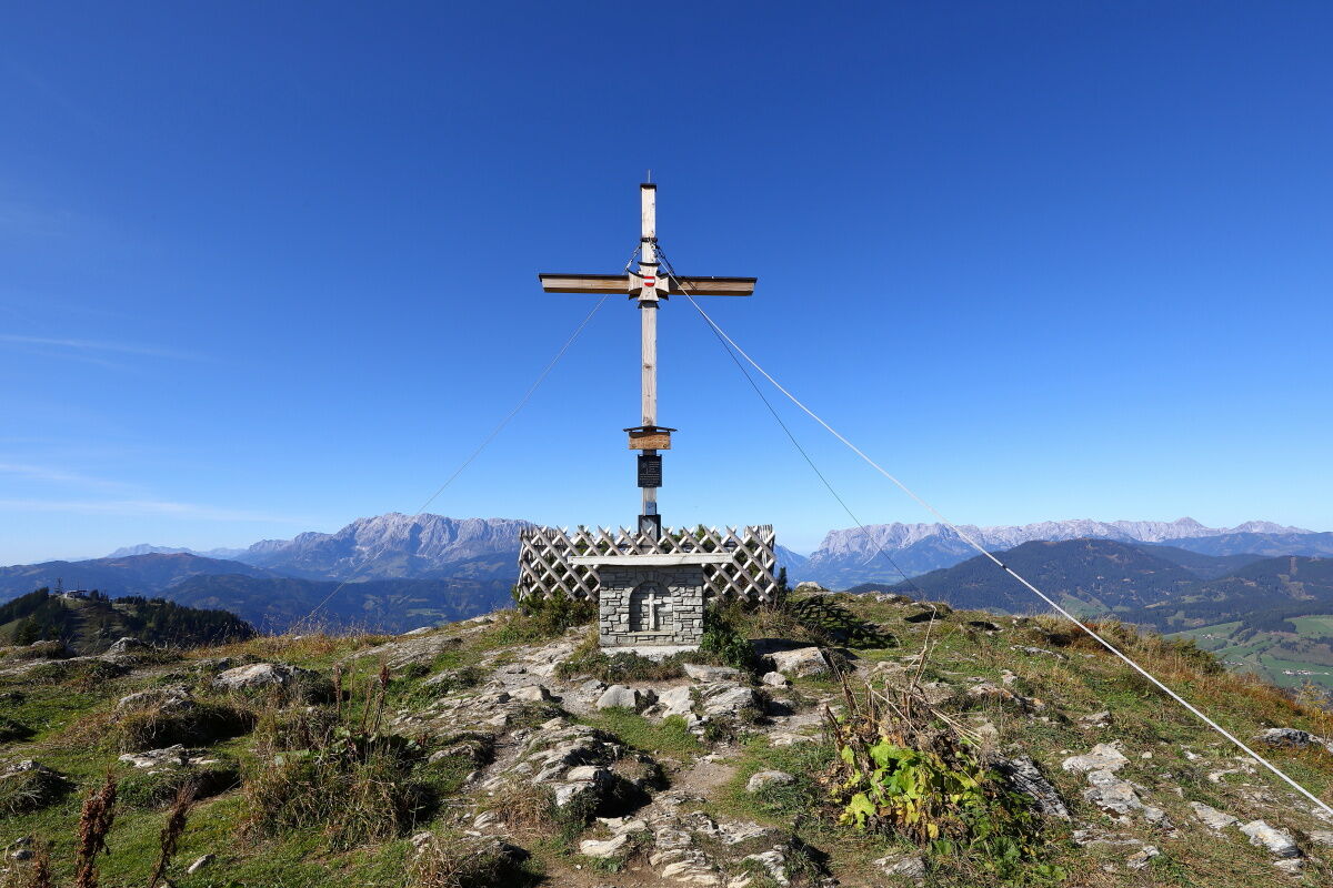

At the crossroads at the alpine pasture, the Almenweg continues straight ahead along trail no. 63 at the same altitude to the unmanaged Henerbichlalm and from there uphill to the 1,906-metre-high Kartörl, the highest point of today's stage. From the ridge, you can see a summit cross to the east, slightly off the main trail. From here, it is only a few minutes to the "troughs". The detour of around a quarter of an hour to the moor lakes is absolutely worthwhile.
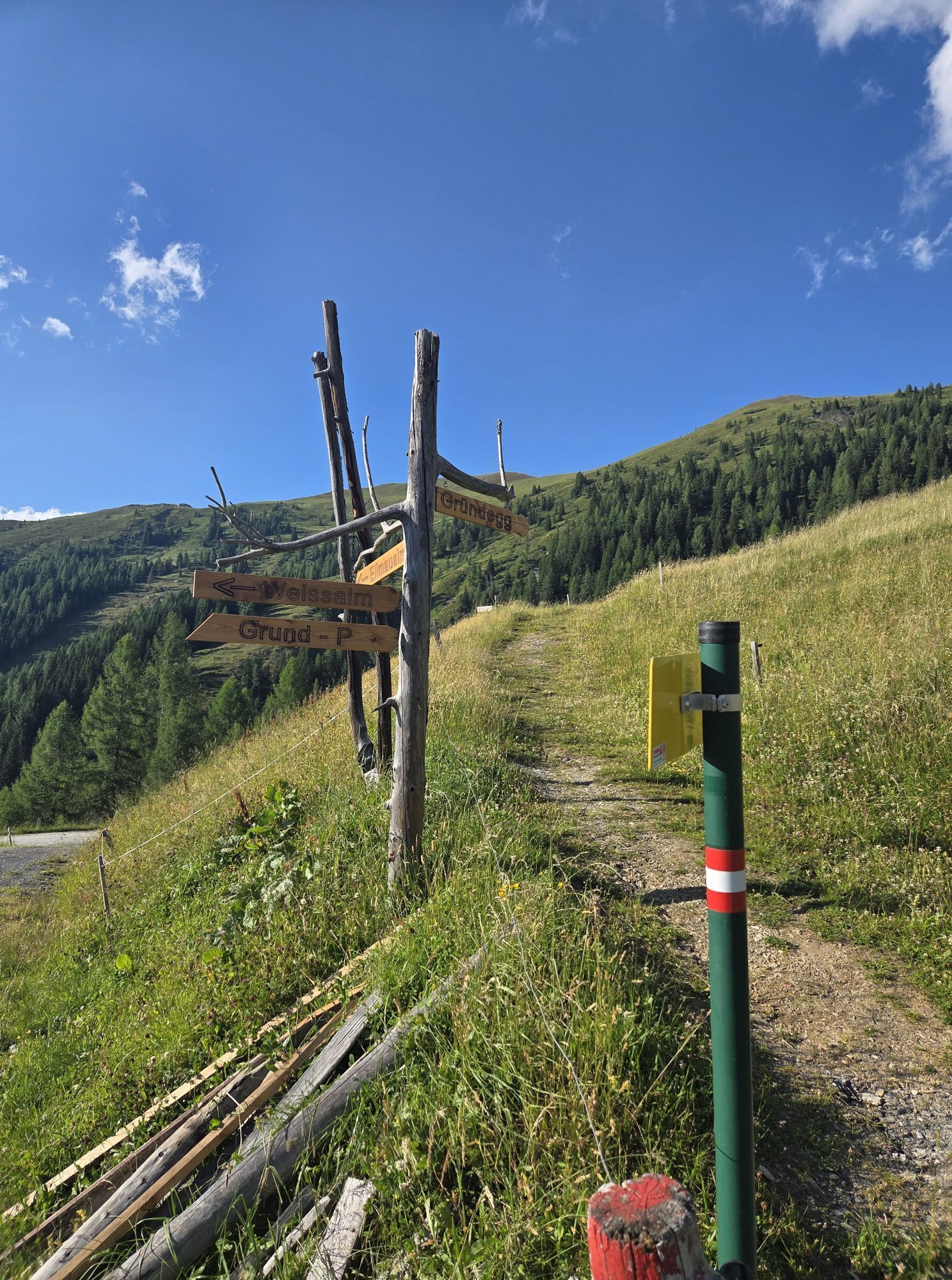
Back on the Salzburger Almenweg, continue along trail no. 63 past the Karalm (take the right-hand path here at the crossroads) steadily downhill to the Spatalm and from here at the same altitude to the Kleinwildalm, all three of which are unmanaged. After the Kleinwildalm, continue along trail no. 63, which runs at almost the same altitude, to the farmed Großwildalm. From here, follow the idyllic trail no. 67 down towards the Breitenebenalm. After just under an hour, you reach a fork in the trail and follow trail no. 70 up to the Karseggalm, which first leads through a beautiful spruce forest and then across wide alpine meadows. (The managed Breitenebenalm can be reached in a quarter of an hour from the above-mentioned fork in the trail).
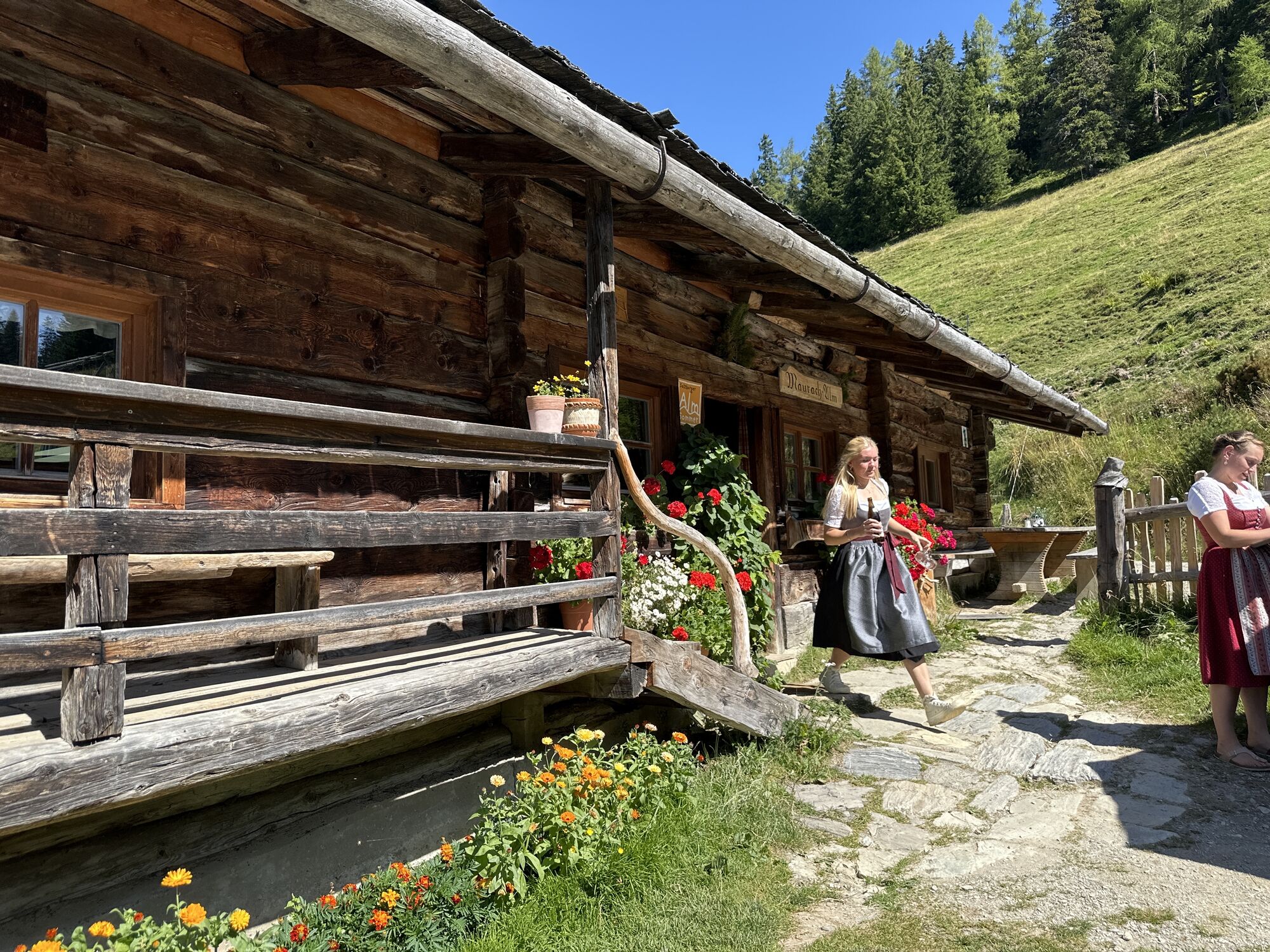
The Karseggalm is around 400 years old and is one of the oldest huts in the valley. From here, you can reach the Unterwandalm, which is also farmed, via hiking trail no. 70 in about 20 minutes at a constant altitude and - now via a goods road (no. 70) - to the Muggenfeldalm (not farmed) in another hour's walk. Soon afterwards, you reach the Maurachalm, the northernmost farmed alpine pasture in the Grossarl Valley, continuing in the same direction.
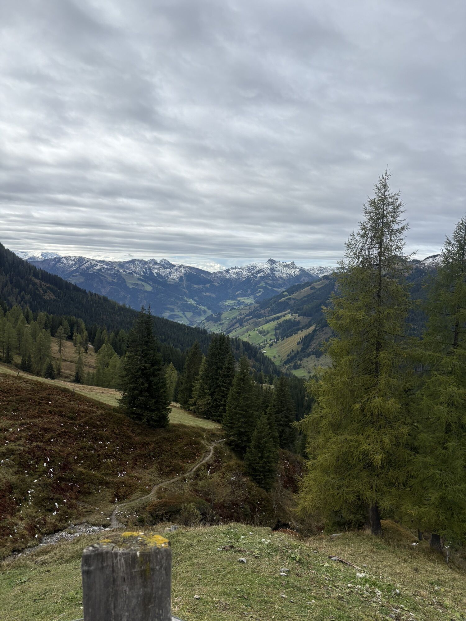
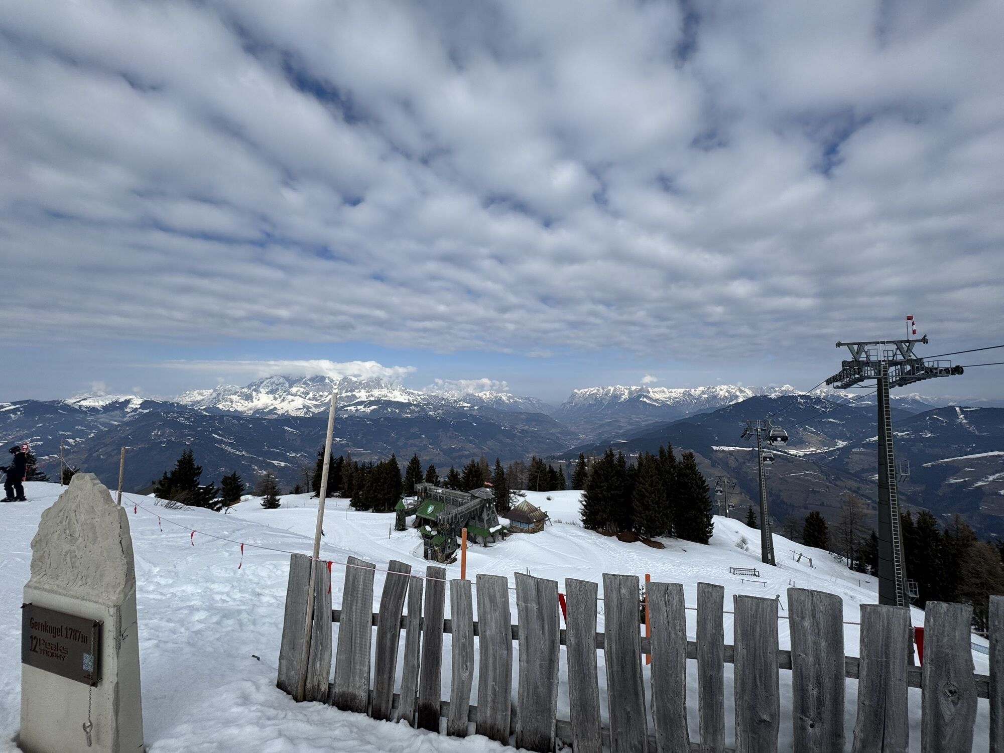
From here, you first follow trail no. 71 for a long time at a constant altitude to the north (ignoring trails branching off to the right and left) and finally a forest path until you reach the western ridge of the Sonntagskogel and today's stage destination, the Gernkogel, appears in your field of vision. The trail descends a short distance to the west below the idyllic "Sonntagskogel" reservoir and then climbs again to the summit of the Gernkogel, today's destination.
There are two options for overnight accommodation:
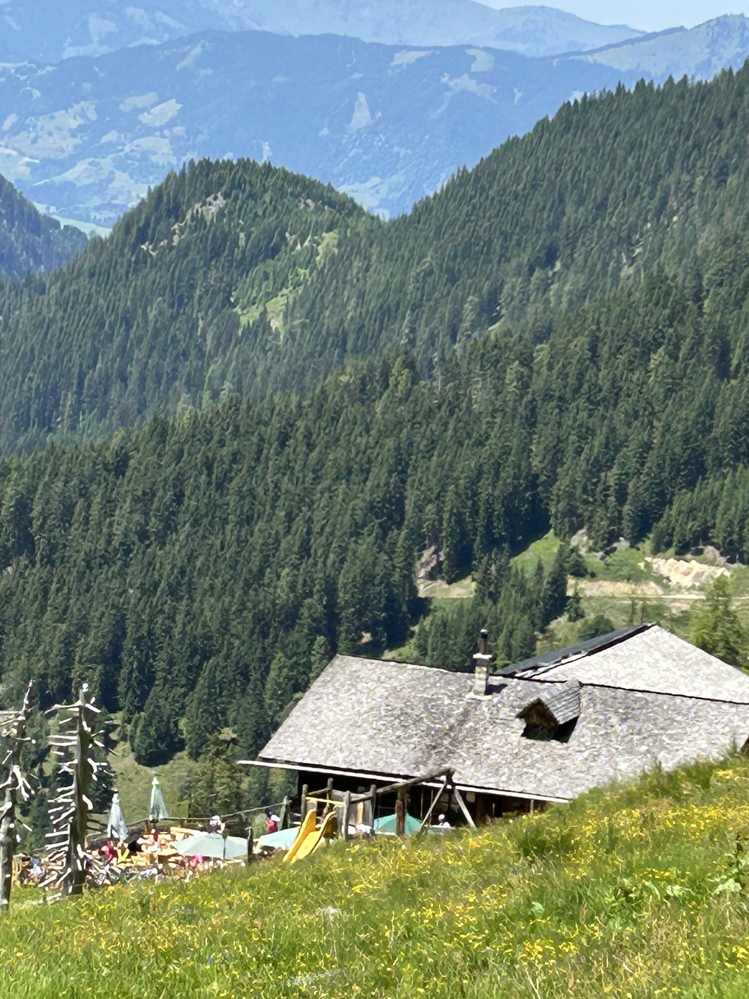
Haibenalm: This farmed alpine pasture is located to the east below the Gernkogel and can be reached from the "Sonntagskogel" reservoir via a goods path in just a few minutes. The Alpendorf gondola lift takes you down to St. Johanner Alpendorf, where you can spend the night.Option 13a with descent to St. Johann or Wagrain:
Those who prefer to spend the night in the valley can take the cable car to either St. Johann or Wagrain at the end of the stage. The mountain station of the Alpendorf gondola lift to St. Johann is around 45 minutes' walk below the Gernkogel. Please note the cable car opening times. The next day you can reach the start of the stage by cable car again.
Variant 13b with a shortcut of the stage directly to Kleinarl:
On tomorrow's stage 14, there is a short section up the Kitzstein ("Gabel"), which requires some surefootedness and a head for heights. If you don't feel up to it, you can combine stages 13 and 14 and hike to Kleinarl today. This variant leads from the Karseggalm via the Almsteig trail (trail no. 72) up to the unmanaged Karsegg-Hochalm and on to the ridge. The descent leads via hiking trail no. 712 to the Kleinarler Hütte stage destination, which is a good 1.5 hours' walk away (see stage description 14).
Refreshments and overnight accommodation
Weißalm (1,723 m), (after approx. ½ hour) mid-June to mid-October, T. +43 664 3435286 E/Ü
Ellmaualm (1,794 m), (after approx. 1 hour) mid-June to mid-October, T. +43 664 455 0411 E/Ü/Almsommerhütte
Sonnseit-Almhütte (1.840 m), (after approx. 1 ½ hour, short detour from the Almenweg; about 30 minutes from Ellmaualm) mid-June to the end of September, T. +43 664 9180421 Ü (Overnight stay available; accommodation only; advance booking required). www.sonnseit-almhuette.com
Großwildalm (1,778 m), (after approx. 3 hours) July to the end of August, T. +43 650 2240090 E
Breitenebenalm (1,420), (after approx. 4 hours) from the beginning of May to the end of October, T. +43 676 411 6787 E/Almsommerhütte
Karseggalm (1,603 m), (after approx. 4.5 hours) from the beginning of June to the end of October, T. +43 664 9962188 E/Almsommerhütte
Unterwandalm (1,600 m), (after approx. 4.5 hours) from the beginning of June to the beginning of October, T. +43 664 4536438 E/Ü/Almsommerhütte
Maurachalm (1,620 m), (after approx. 5 hours) from the beginning of June to mid-October, T. +43 6414 293 E/Almsommerhütte
Haibenalm (1,650 m), (after approx. 6 ¼ hours) June to mid-September, T. +43 664 266 98 07 or T. +43 664 588 37 32 E/Ü/Almsommerhütte
Buchauhütte (1,750 m), (after approx. 6 ½ hours), June to October (like Alpendorf gondola lift), T. +43 664 2801508 E
Gernkogelalm (1,750 m), (after approx. 6 ½ hours) June to October (same as Alpendorf gondola lift), T. +43 664 2669807 E
Numerous refreshment stops and accommodation options in St. Johann/Alpendorf (after approx. 06:50 hours (+ walking or driving time from Gernkogel to Alpendorf)), www.josalzburg.com E / Ü
Accommodation partner Salzburger Almenweg info and booking center by Trail Angels:
Hotel AlpenSchlössl, more information at: https://www.hotel-alpenschloessl.at/, T. +43 6412 40 600
Ano
Here you will find everything you need to know about the right hiking boots, the perfect equipment and the right walking technique.
To make sure that your day in the mountains really is an unforgettable experience, we give you a few tips to keep you safe in the mountains.
The best way to reach Grossarl by public transport is via the ÖBB train station in St. Johann in Salzburg. From here, the Postbus line 540 takes you to the village. Use of the Ellmautal 541 hiking bus is free with the Guest Mobility Ticket.
If you arrive by car, you can park it free of charge for several days in Grossarl at the parking lot in the village center near the ENI petrol station and in Ellmautal at the Grundlehen parking lot. Please leave the "Almenweg parking meter" from the brochure in your parked car!
T2
All further information about the Salzburger Almenweg can be found here.
Socializing has always played a major role on the mountain pastures: people have always enjoyed singing and making music. This is also the case on the Unterwandalm and Maurachalm. Sometimes the accordion is unpacked or the voice is raised to a joyful yodel, alpine song and Juchizer.
The 400-year-old Karseggalm is the oldest hut in Grossarltal: an open fireplace, soot-blackened wood, two kettles and the clay floor are reminiscent of times gone by. A Grossarl specialty that is only made here matures over the fire: Kneaded cheese - the Parmesan of the Alps. Once a week in summer, hikers can watch the dairymaid making cheese.

Webové kamery z prohlídky
-
Gernkogel - Alpendorf St. Johann
-
Hotel Lammwirt im Großarltal/Ellmautal
-
Ellmautal - Palfenhof
-
Großarl - Ort
-
St.Johann-Alpendorf Gernkogel
-
Gernkogel - Alpendorf St. Johann
-
Gernkogel - Alpendorf St. Johann
-
Mooslehen Berg
-
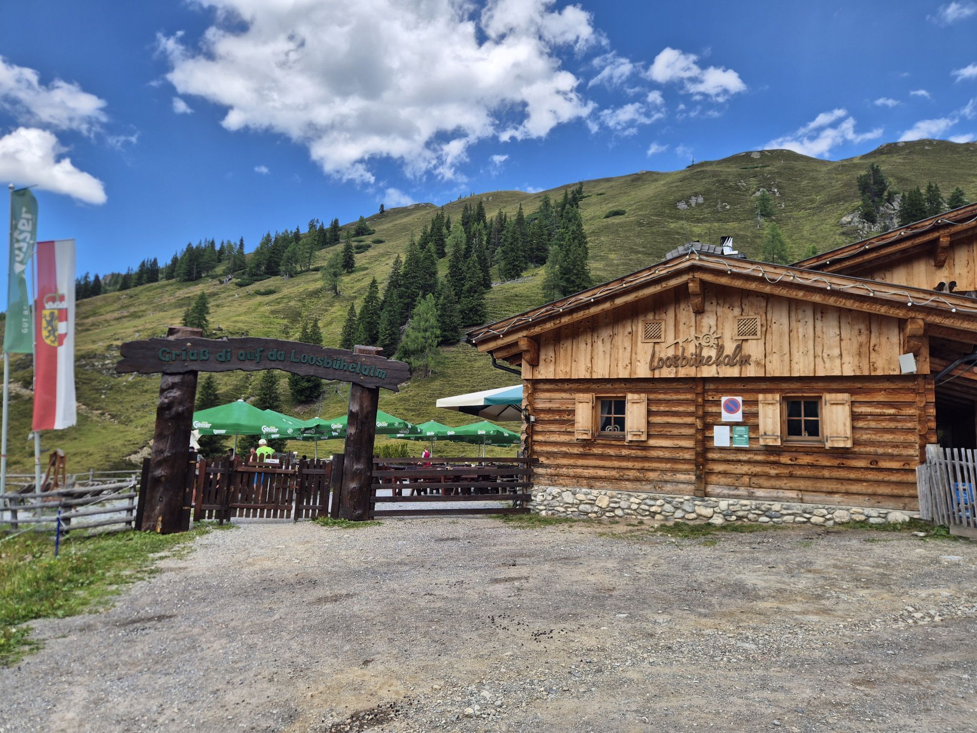
Großarl - Loosbühelalm
-
Grossarl - Hotel Gasthof Schützenhof
-
Großarl - Hotel Kristall Übungslift
-
Gernkogel - Alpendorf St. Johann
-
Gernkogel - Alpendorf St. Johann
-
Gernkogel - Alpendorf St. Johann
-
Gernkogel - Alpendorf St. Johann
-
Großarl



Oblíbené prohlídky v okolí
-
4.9
4-Gipfel-Tour
středníHorská turistika 6.40 km -
4.9
Großarl: Heukareck
středníTuristika 12.5 km -
4.2
Tappenkarsee Kleinarl
středníTuristika 9.11 km -
4.8
Großarl: Himmelsroute
středníTuristika 5.41 km -
4.6
Großarl: Mooslehenalm – Niggeltalalm – Viehhausalm
středníTuristika 5.44 km -
4.6
Ski route Lackenkogel
středníLyžařská trasa 7.82 km -
4.7
Großarl: Saukaralm - Saukarkopf - Gerstreitalm
středníTuristika 9.39 km -
4.6
Grießenkareck
středníTuristika 4.89 km -
4.8
Großarl: Bichlalm
středníMountainbike 18.9 km -
4.4
Ennskraxn (2410m)
heavyTuristika 14.7 km
Pěší turistika a stopování


Nenechte si ujít nabídky a inspiraci pro vaši příští dovolenou
Vaše e-mailová adresa byl přidán do poštovního seznamu.





