






Winter hiking trail Pizol Panorama Höhenweg
Úroveň obtížnosti: 1
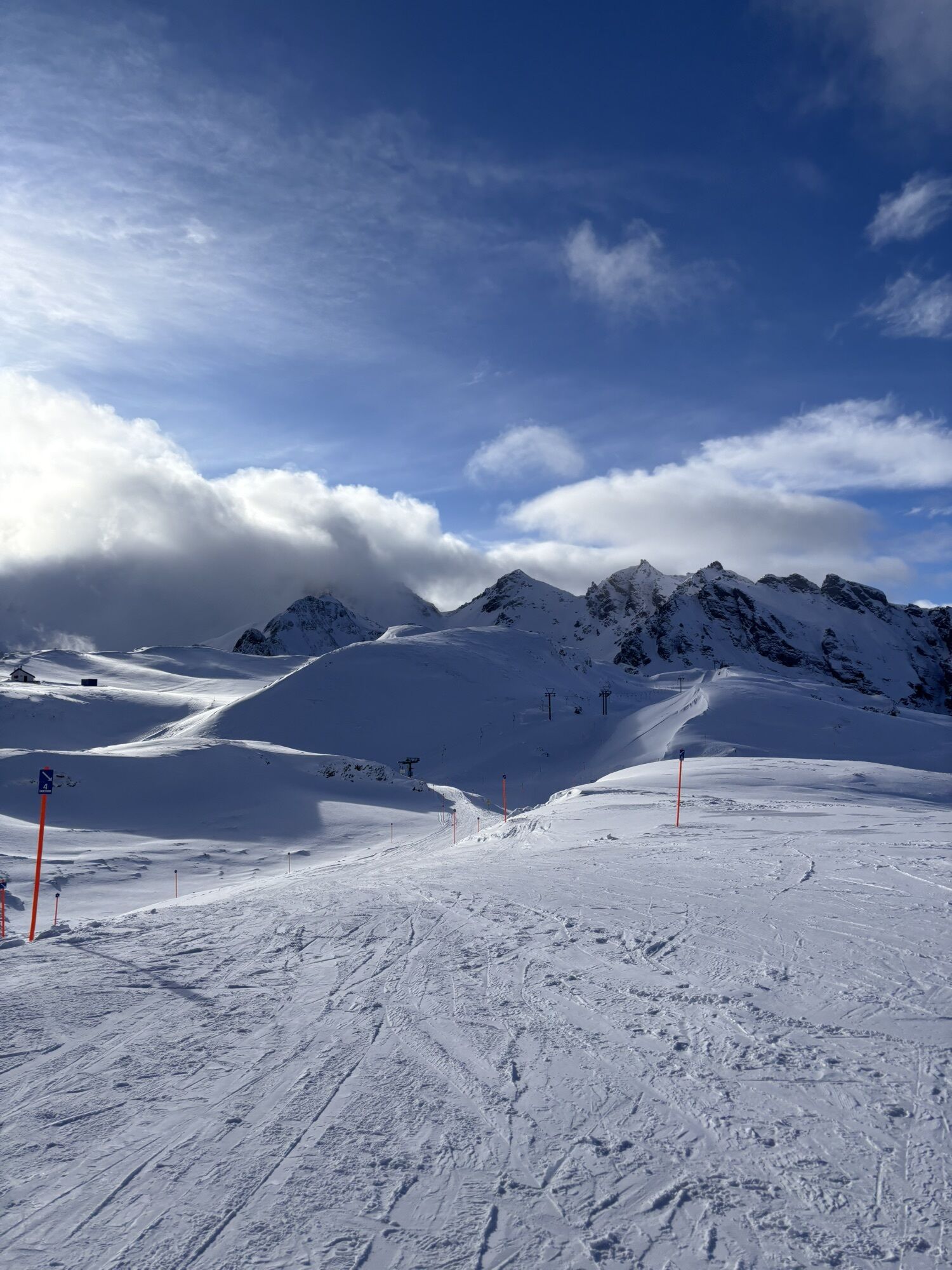
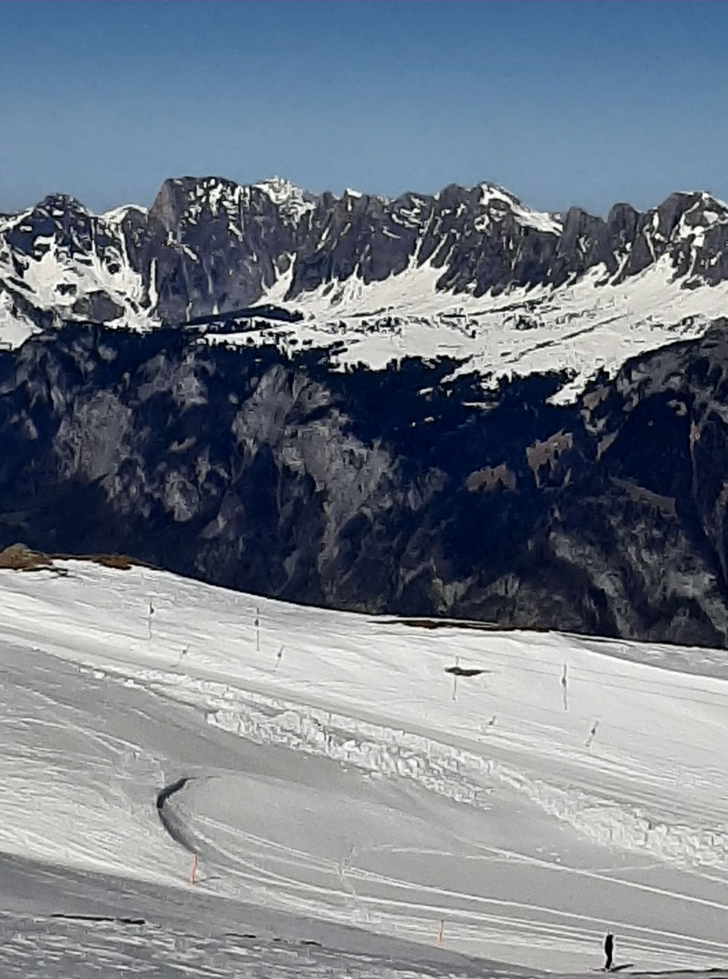
Winter hiking at Pizol is a unique panoramic experience in the middle of the UNESCO World Heritage Tektonikarena Sardona. Arriving with the chairlift on the Pizol plateau at over 2,000 m above sea level,...
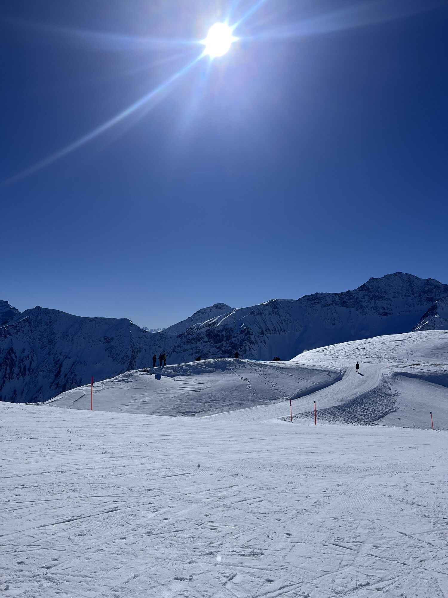
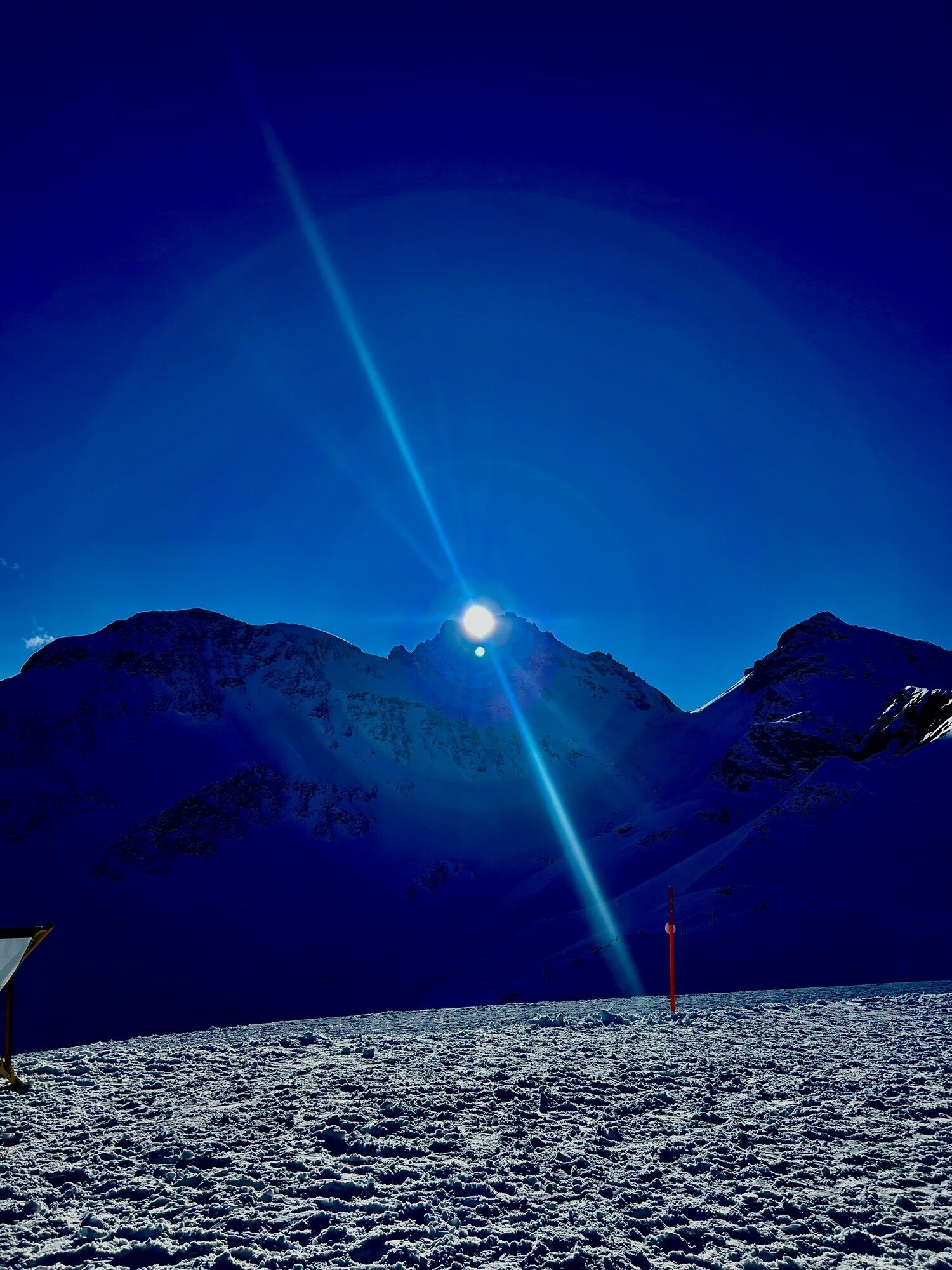
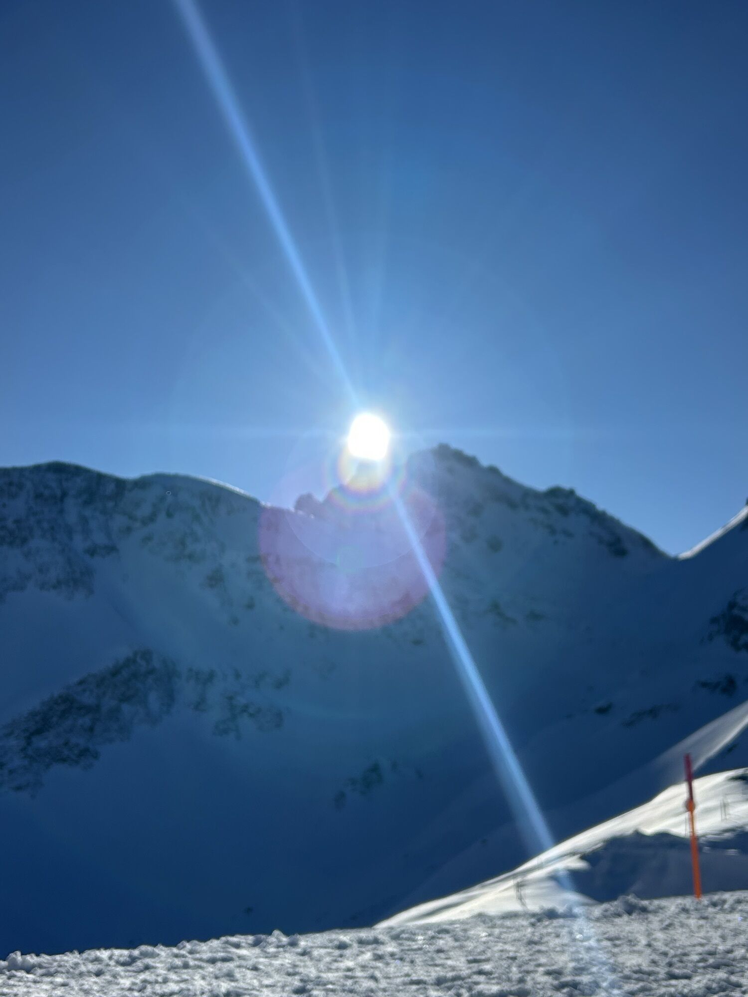
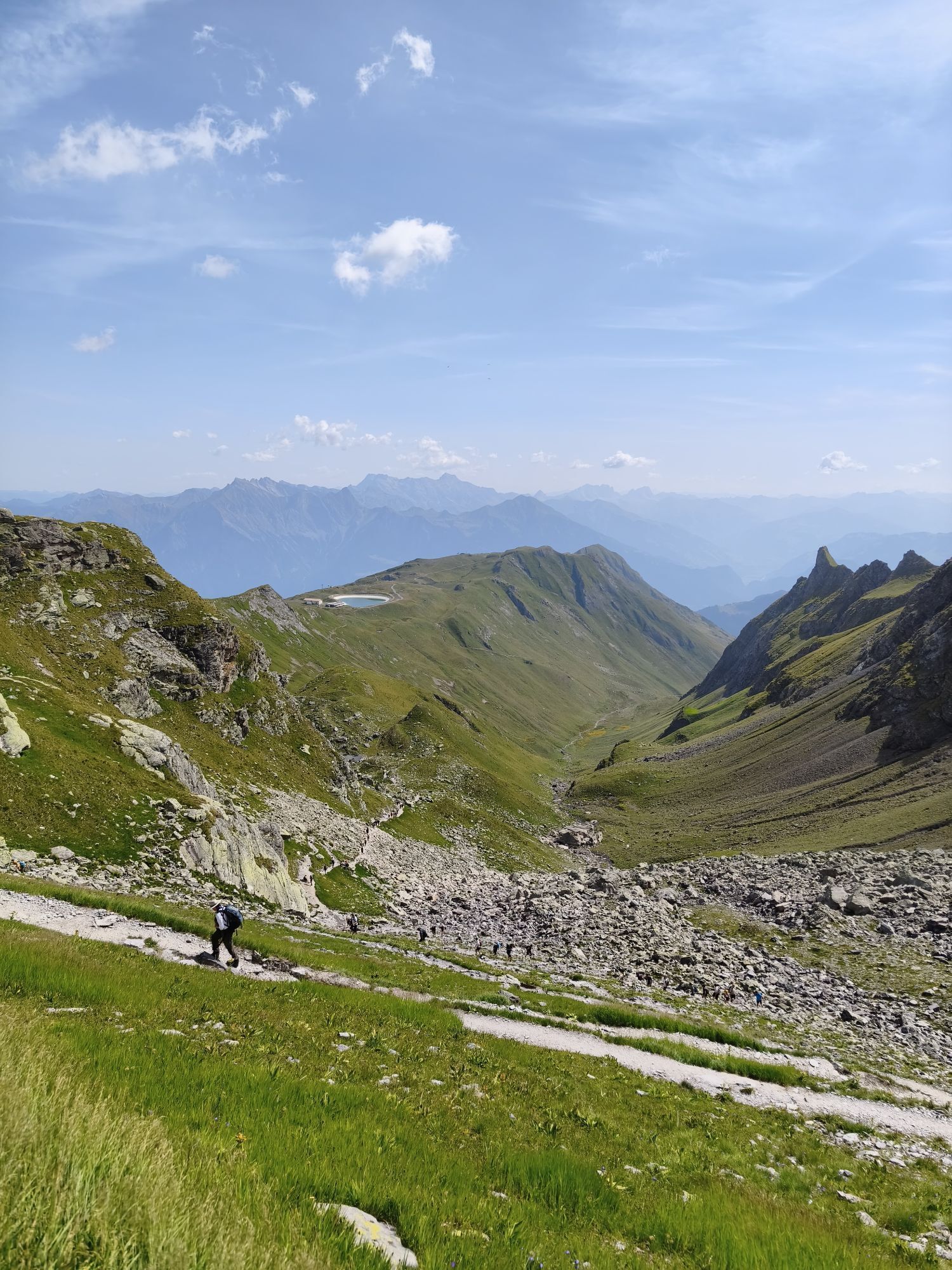
Winter hiking at Pizol is a unique panoramic experience in the middle of the UNESCO World Heritage Tektonikarena Sardona. Arriving with the chairlift on the Pizol plateau at over 2,000 m above sea level, you enjoy a mountain panorama of a very special kind. The view ranges from the striking Churfirsten at Lake Walen, over the St. Gallen Rhine Valley to Lake Constance and the neighboring Grisons and Liechtenstein mountains.
Between Laufböden and the Pizol hut stretches the 3 km long circular hiking trail Pizol Panorama Höhenweg. This offers unique insights into the UNESCO World Heritage with exciting information boards. The plateau is like a naturally formed tribune of the tectonic arena and offers breathtaking panoramic views of the surrounding mountains and the St. Gallen Rhine Valley to Lake Constance.
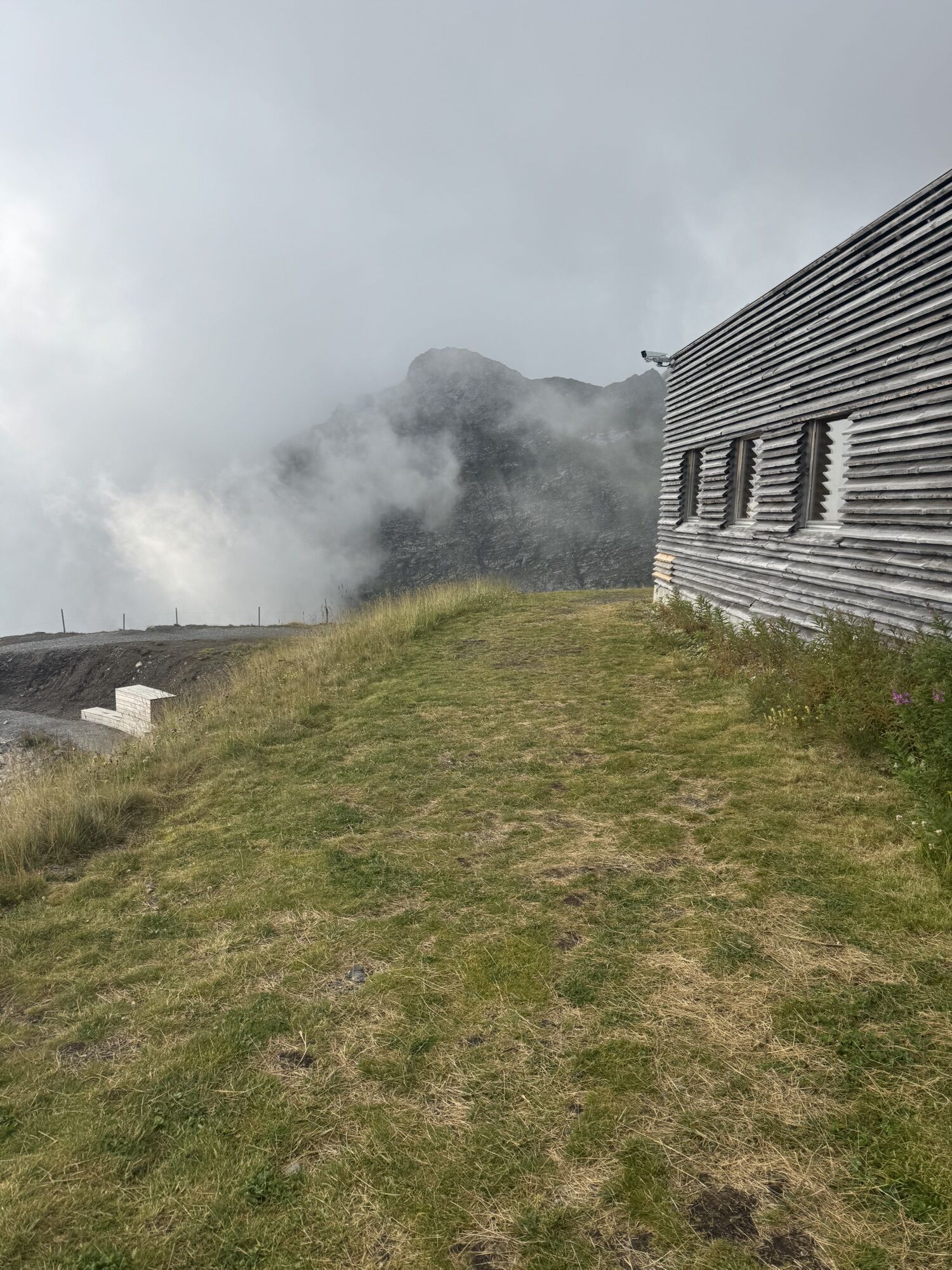
Along the way, the Pizol hut and the Laufbodenstübli invite you for a relaxing break. Enjoy the sun and the fresh mountain air and let yourself be spoiled culinarily.

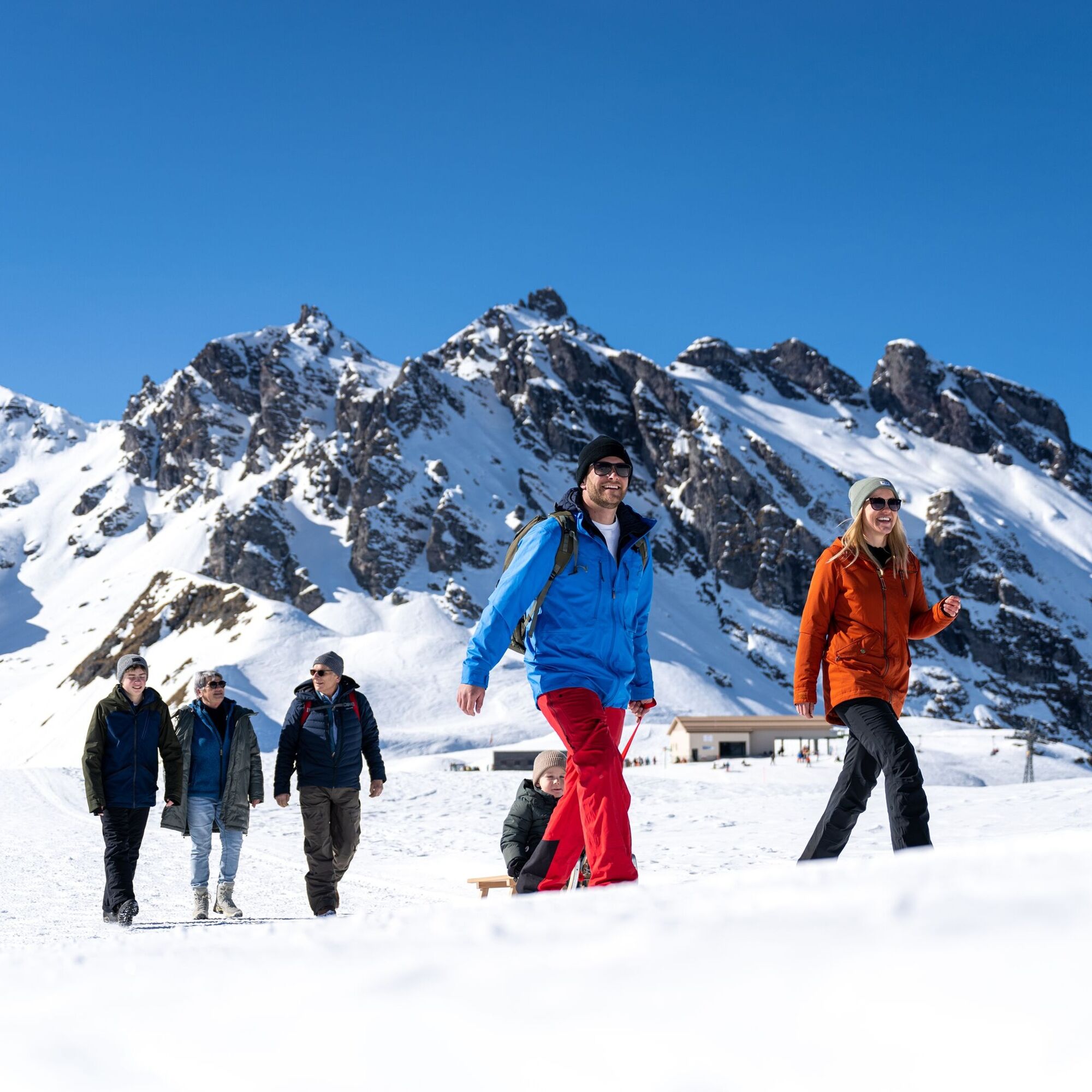
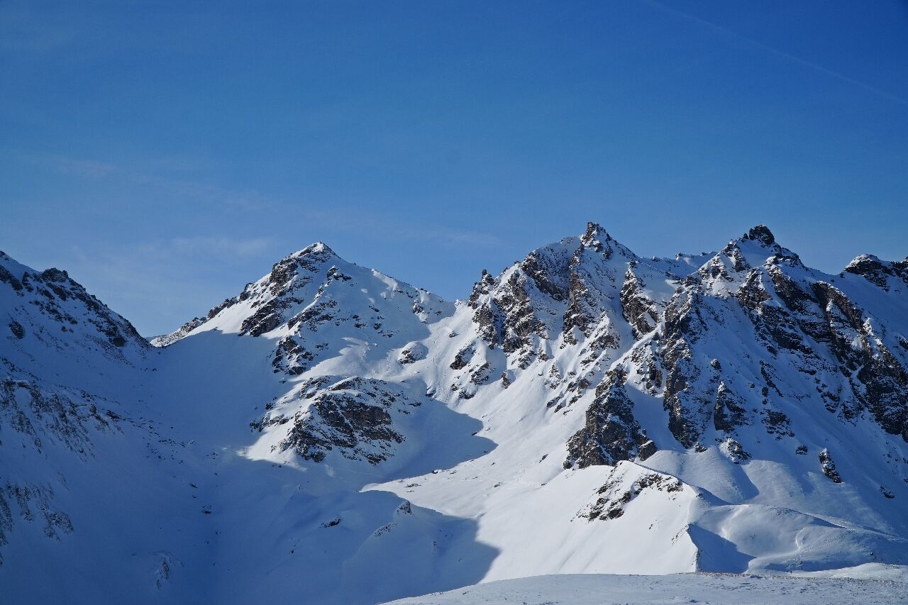
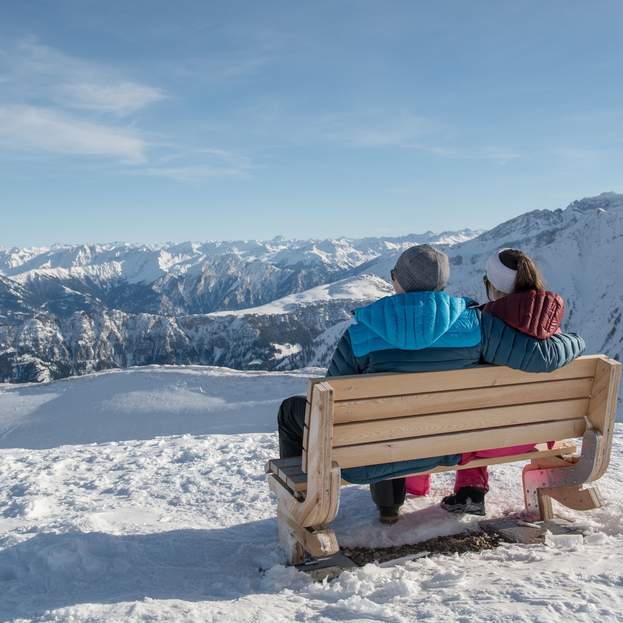
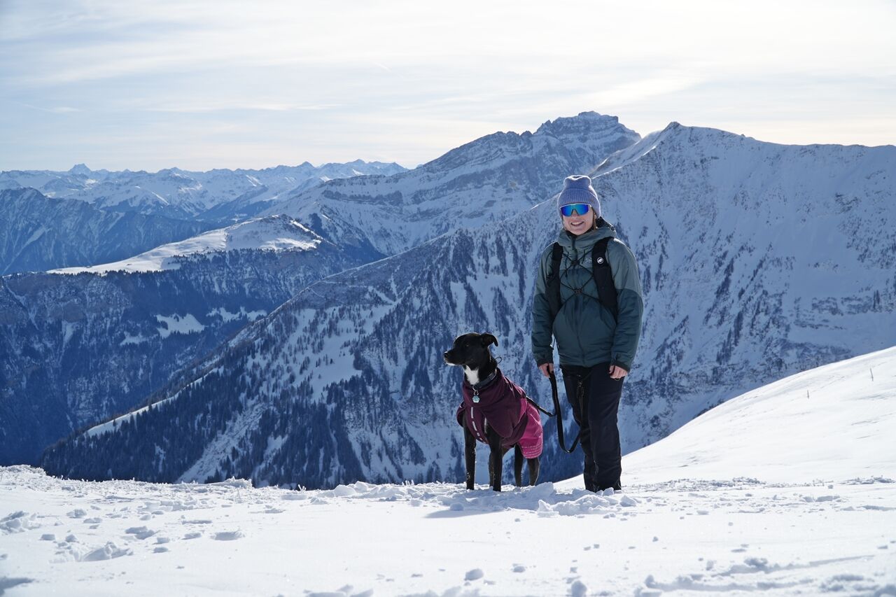
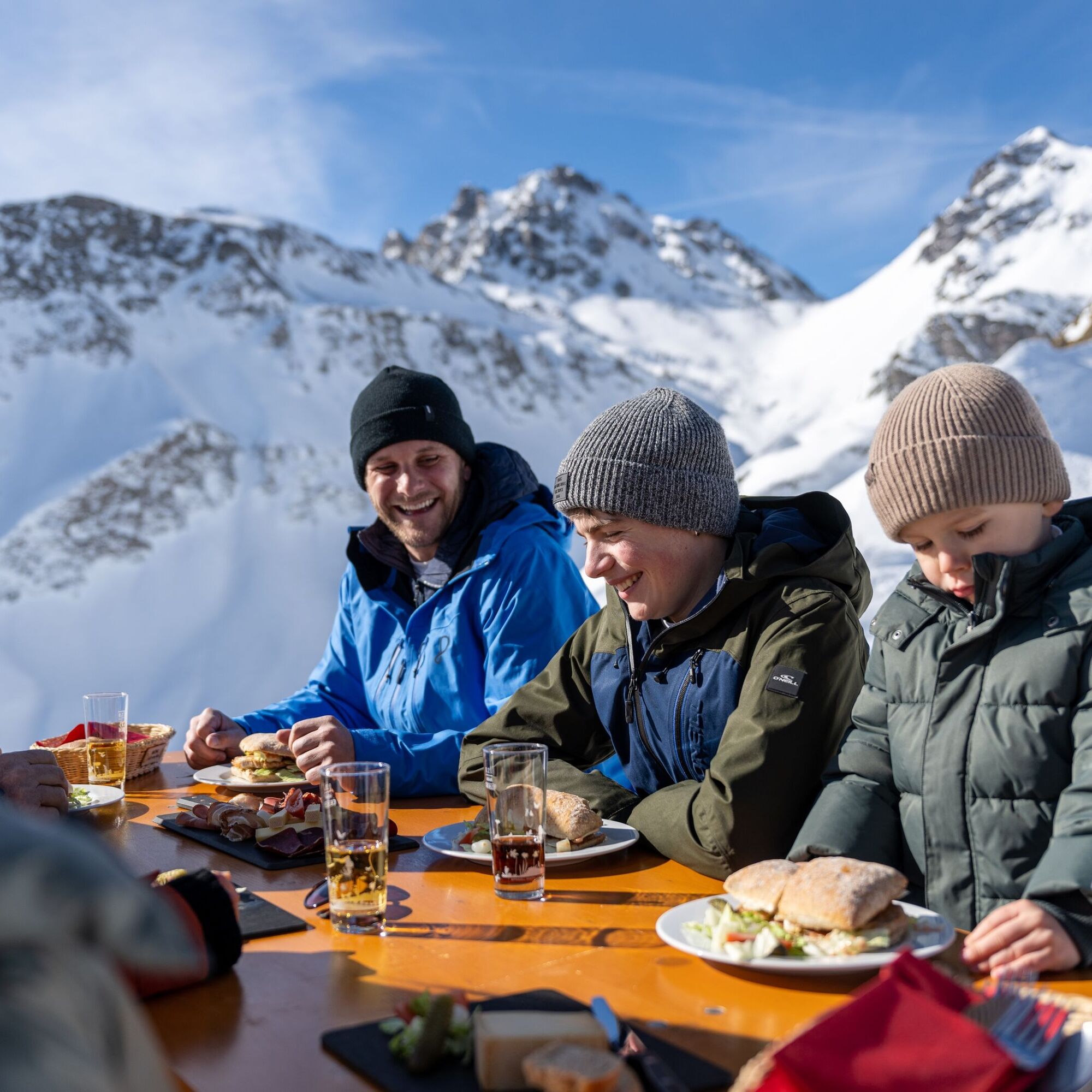

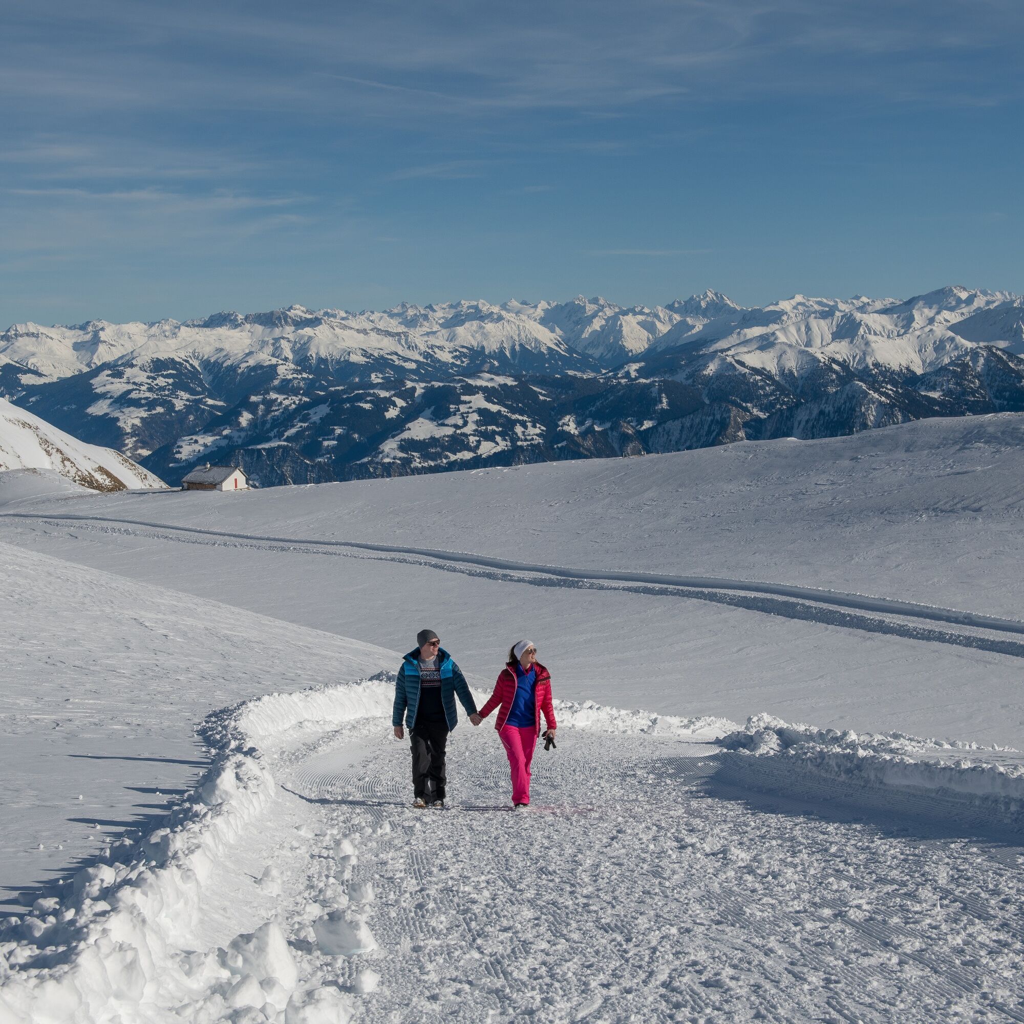

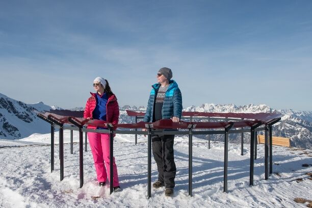

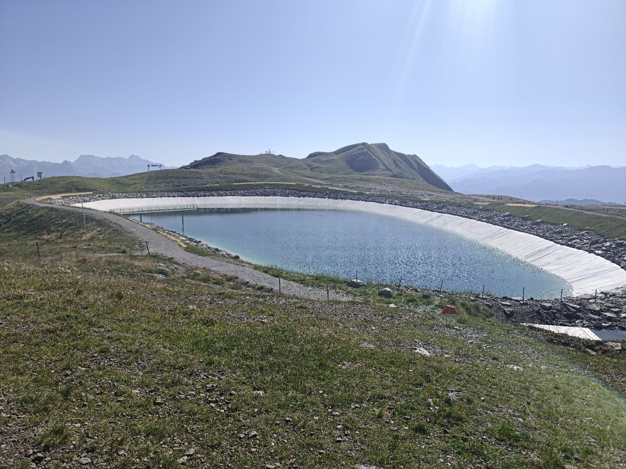
From the valley station of the Pizol cable cars in Bad Ragaz, take the gondola and chairlift up to Laufböden at 2,222 m above sea level. There we start the leisurely hike directly at the mountain station. On the lower part of the circular trail, it goes towards the Pizol hut. Almost there, the Wangsersee appears on the right side. We walk past the lake and reach the hut after about 10 minutes, which invites you to linger with a varied offer. On the way back, we go again past the Wangsersee and up a gentle climb to the viewpoint Tagweidlichopf at 2,275 m above sea level. Here the full beauty of the panoramic view unfolds. Through the photo panel of the Grand Tour of Switzerland, you can even see the Pizol summit from here. Always keeping the Laufböden station in sight, the path goes behind the viewpoint over a romantic high plateau with views of the Grisons mountains back to the starting point.
Ano
Ano
Ano
Clothing adapted to the weather. Good, warm footwear.
For the Wangs valley station take the Sargans exit and for the Bad Ragaz valley station the Bad Ragaz Nord exit. The valley stations are well signposted from the motorway exit. Both valley stations are only 5 minutes from the motorway exit and are accessible even in winter without snow chains or other aids. Ideal accessibility via the A3 (Zurich-Chur) and the A13 (Lake Constance-Sargans-Chur).
Destination input for the navigation system:
Bad Ragaz valley station: Loisstrasse 50, 7310 Bad Ragaz
Wangs valley station: Pizolstrasse 3, 7323 Wangs
Access to the Panorama Höhenweg is possible via both valley stations.
The Pizol area is quickly and conveniently accessible by public transport: From Zurich and St. Gallen in one hour to Sargans or Bad Ragaz, from Chur in 15 minutes. From the Sargans and Bad Ragaz train stations, buses run in a few minutes to the valley stations of the Pizol cable cars.
Access to the Panorama Höhenweg is possible via both valley stations.
Parking options at the Pizol cable cars
Our guests benefit from easily accessible public parking spaces at both valley stations – Bad Ragaz and Wangs.
Parking fees:
Flat rate CHF 6.00 per day
First 45 minutes free
For overnight guests at Pizol: from the 3rd night CHF 4.00 per day
Wangs valley station
Payment: parking ticket online via Parkingpay, Twint or with common debit/credit cards.
Alternatively during operating hours at the mountain railway ticket office.
Disabled parking spaces: 2 reserved spots
E-charging stations: 4 charging stations available
Bad Ragaz valley station
Payment: ticket at the entrance barrier. Payment before exit at the machine (card payment only) or at the ticket office.
Disabled parking spaces: 8 reserved spots
E-charging stations: 4 charging stations available
Motorhome parking space Bad Ragaz
During the summer season, a quiet and nature-friendly parking spot for motorhomes is offered at the Bad Ragaz valley station.
More information: www.pizol.com
1
Pizolbahnen AG
+41 81 300 48 30
Heidiland Tourism, information office Bad Ragaz
T +41 81 300 40 20
www.heidiland.com
Be amazed, experience, understand: On the information boards, you will learn a lot of interesting facts about the UNESCO World Heritage Tektonikarena Sardona.

Webové kamery z prohlídky
Získejte přehled Vždy živě na místě s více než 9 500 webkamerami. bergfex Jako uživatel Pro si nyní můžete zobrazit odpovídající webové kamery pro mnoho prohlídek v aplikaci prohlídky z. Můžete si tak přímo prohlédnout aktuální podmínky. Oblíbené prohlídky v okolí
- 4.7
5-Seen Wanderung am Pizol
světloTuristika 10.1 km - 4.7
Tamina Gorge Circular Route
středníTuristika 14.0 km - 4.6
Pizol - Batöni - Weisstannen
heavyTuristika 11.7 km - 4.7
Alvier
středníTuristika 3.33 km - 4.6
Pizalun circular route
světloTuristika 7.18 km - 4.8
Mountain hike to the Strudeltöpfe on Alp Mora: Bargis-Trin
heavyTuristika 18 km - 4.7
Off to the Falknis
heavyTuristika 18.2 km - 4.5
Pizol summit tour
středníTuristika 9.28 km - 4.8
Hike from Berschis to the Berschner Falls
středníTuristika 3.64 km - 4.7
Mädems Trail
středníSněžnice 7.48 km
Pěší turistika a stopování


Nenechte si ujít nabídky a inspiraci pro vaši příští dovolenou
Vaše e-mailová adresa byl přidán do poštovního seznamu.





