





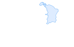

Hiking from Berschis to the Berschnerfall

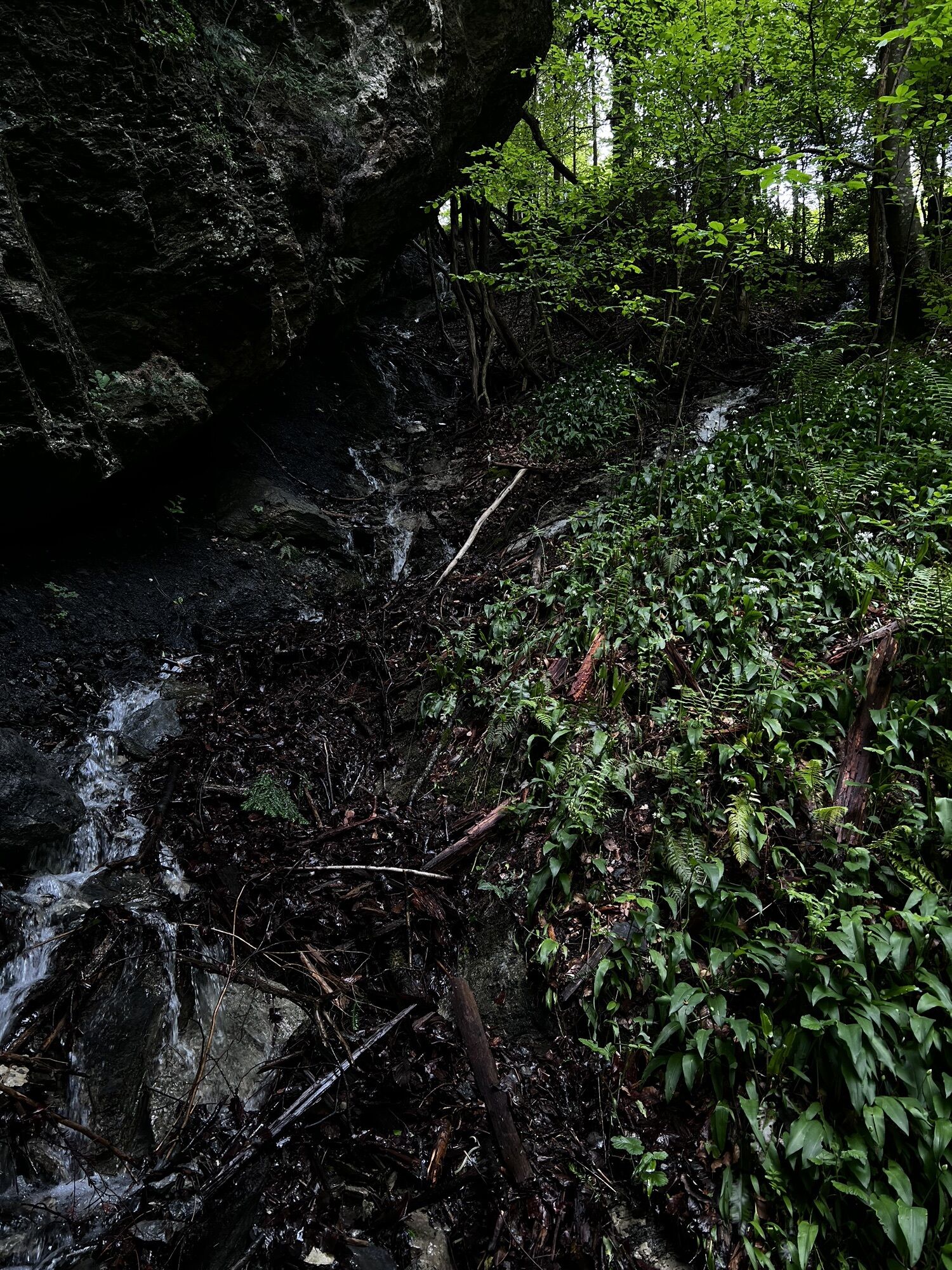
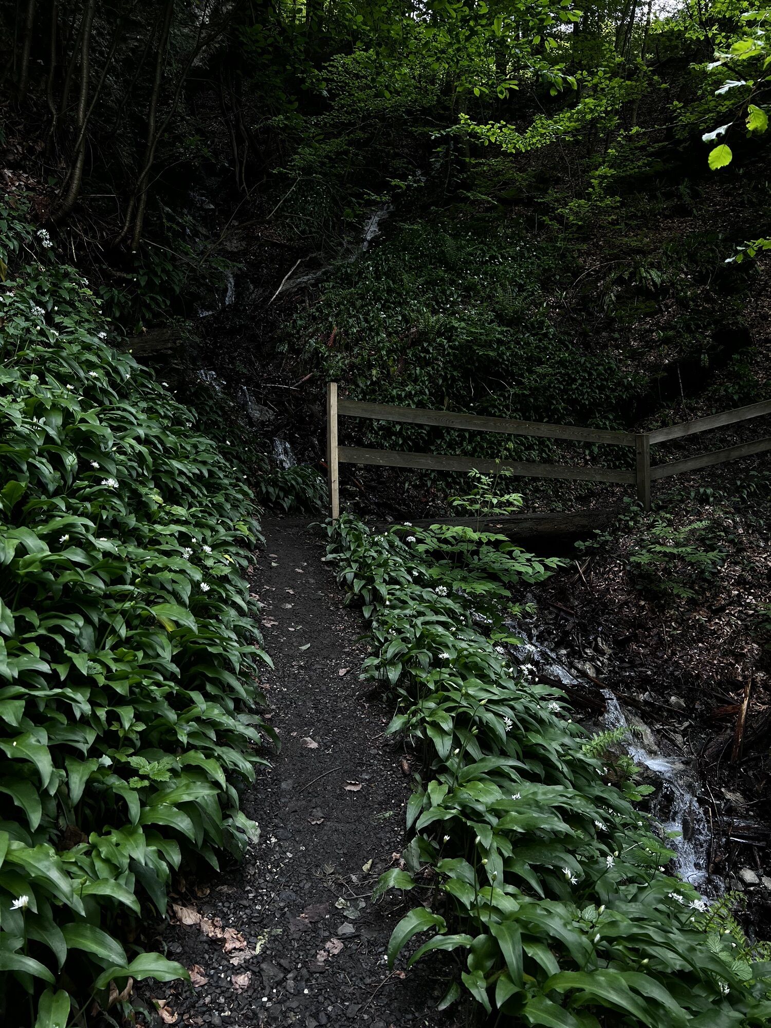
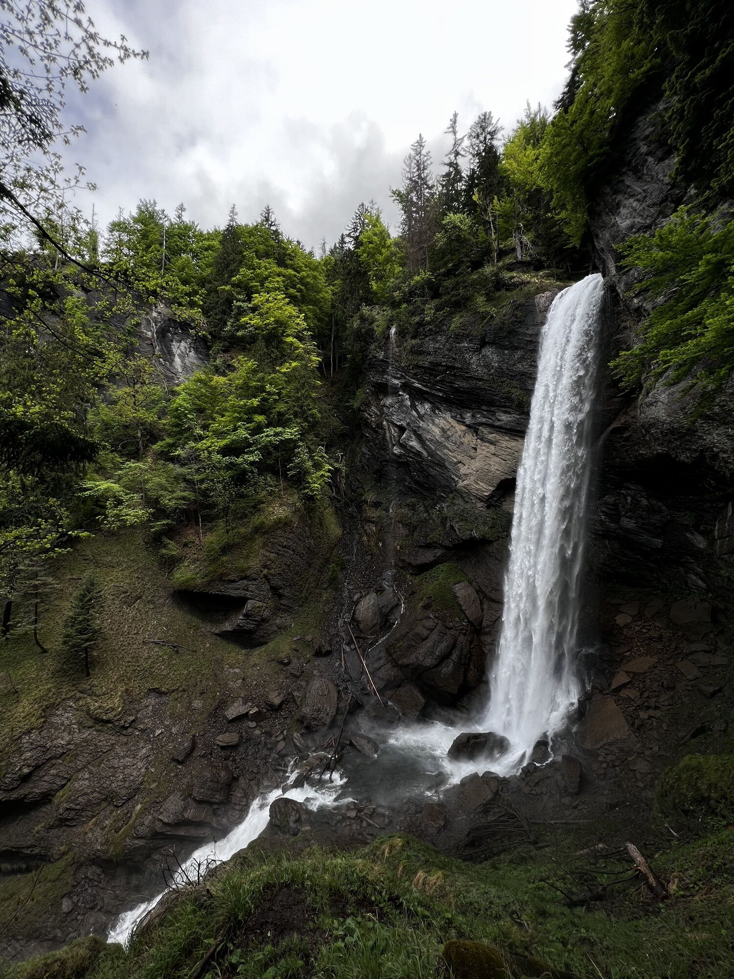
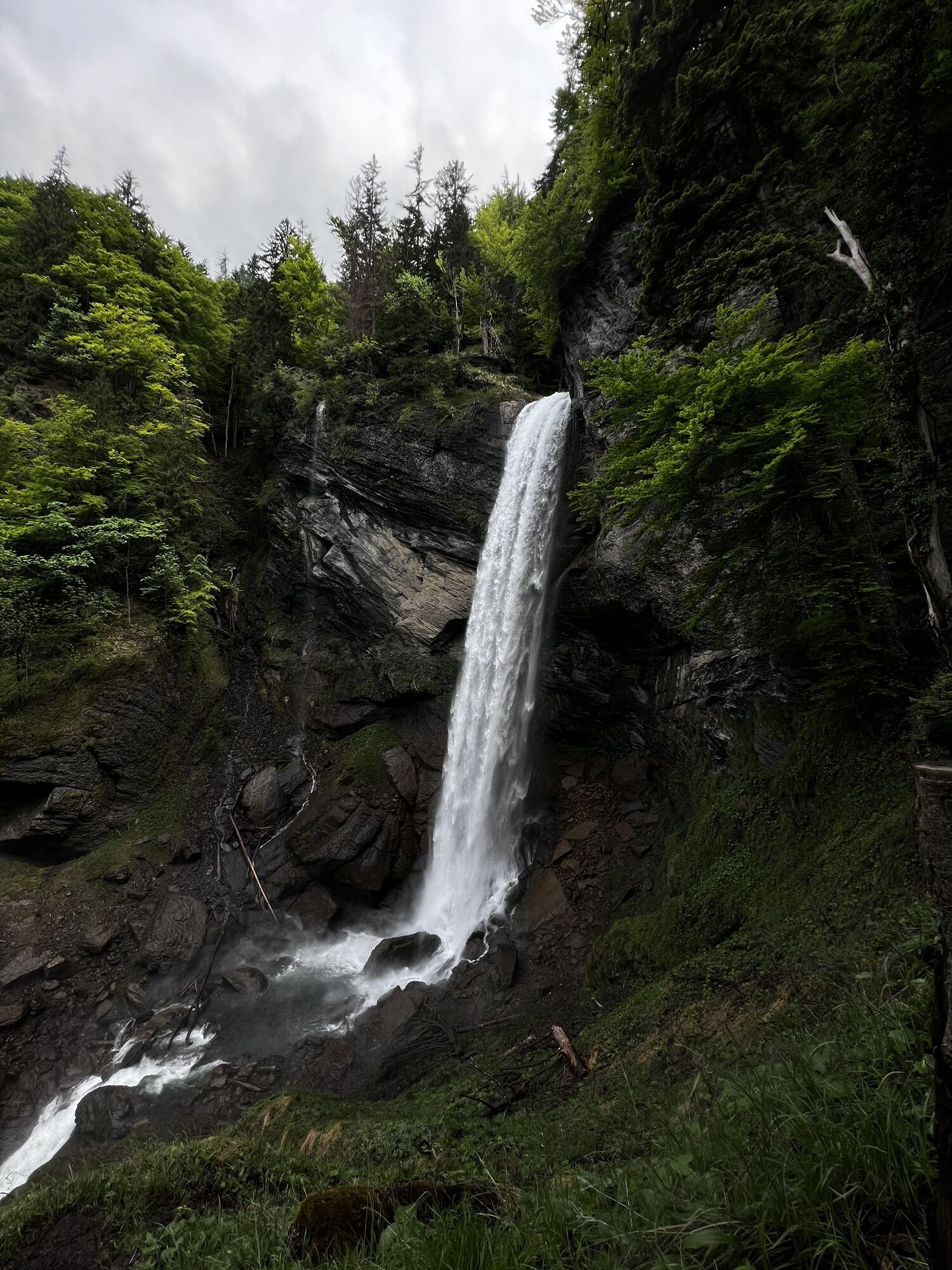
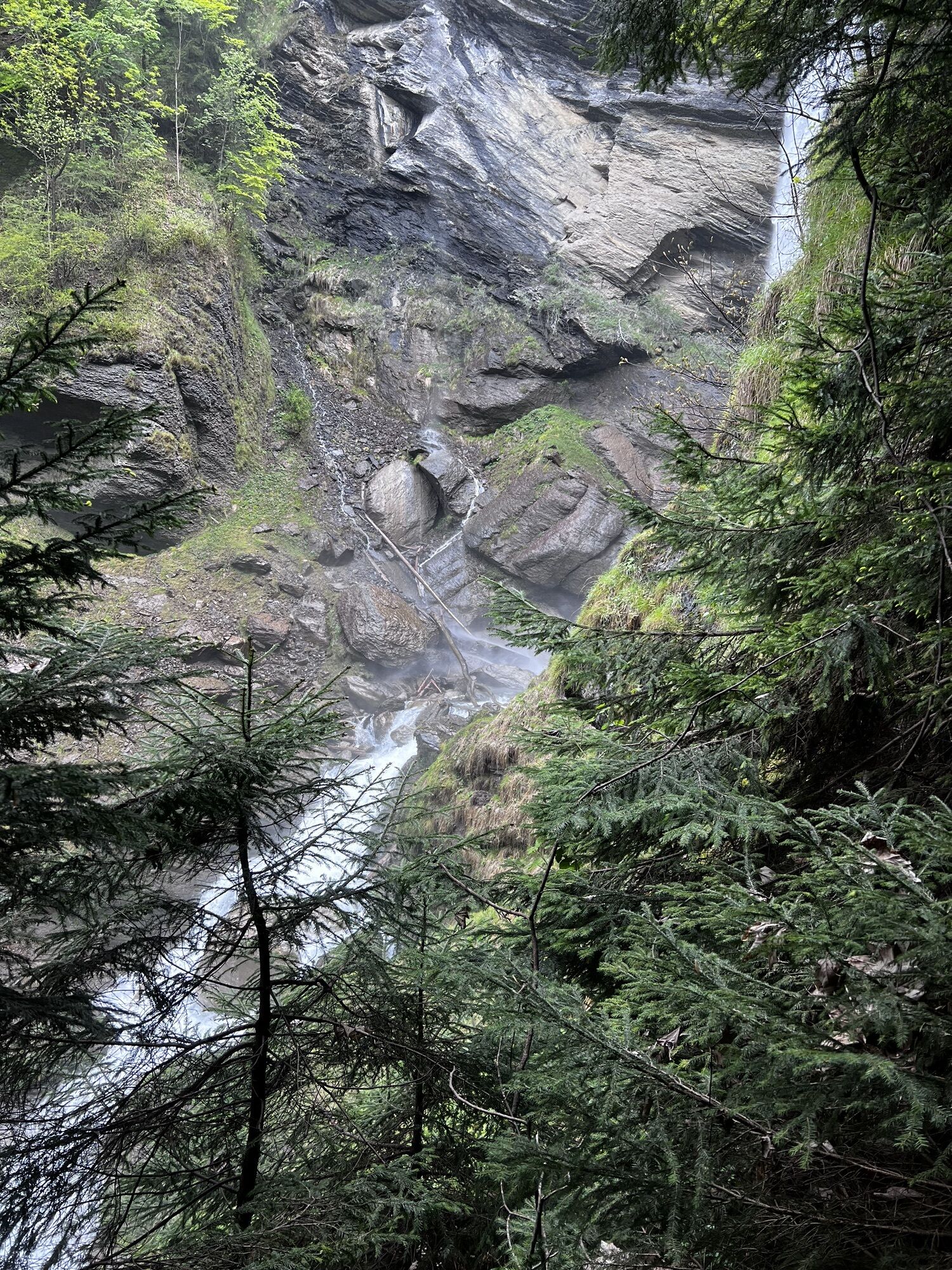
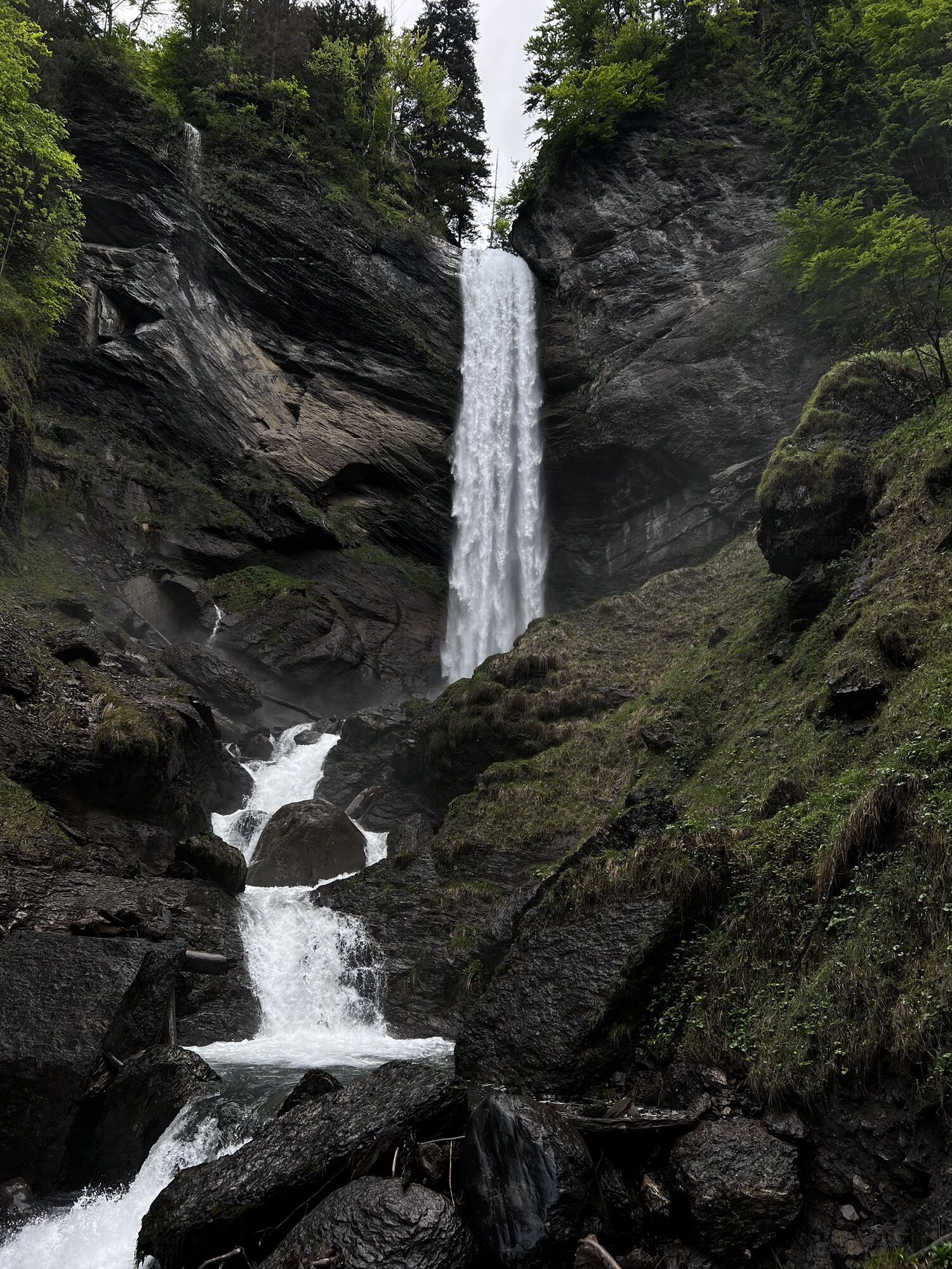
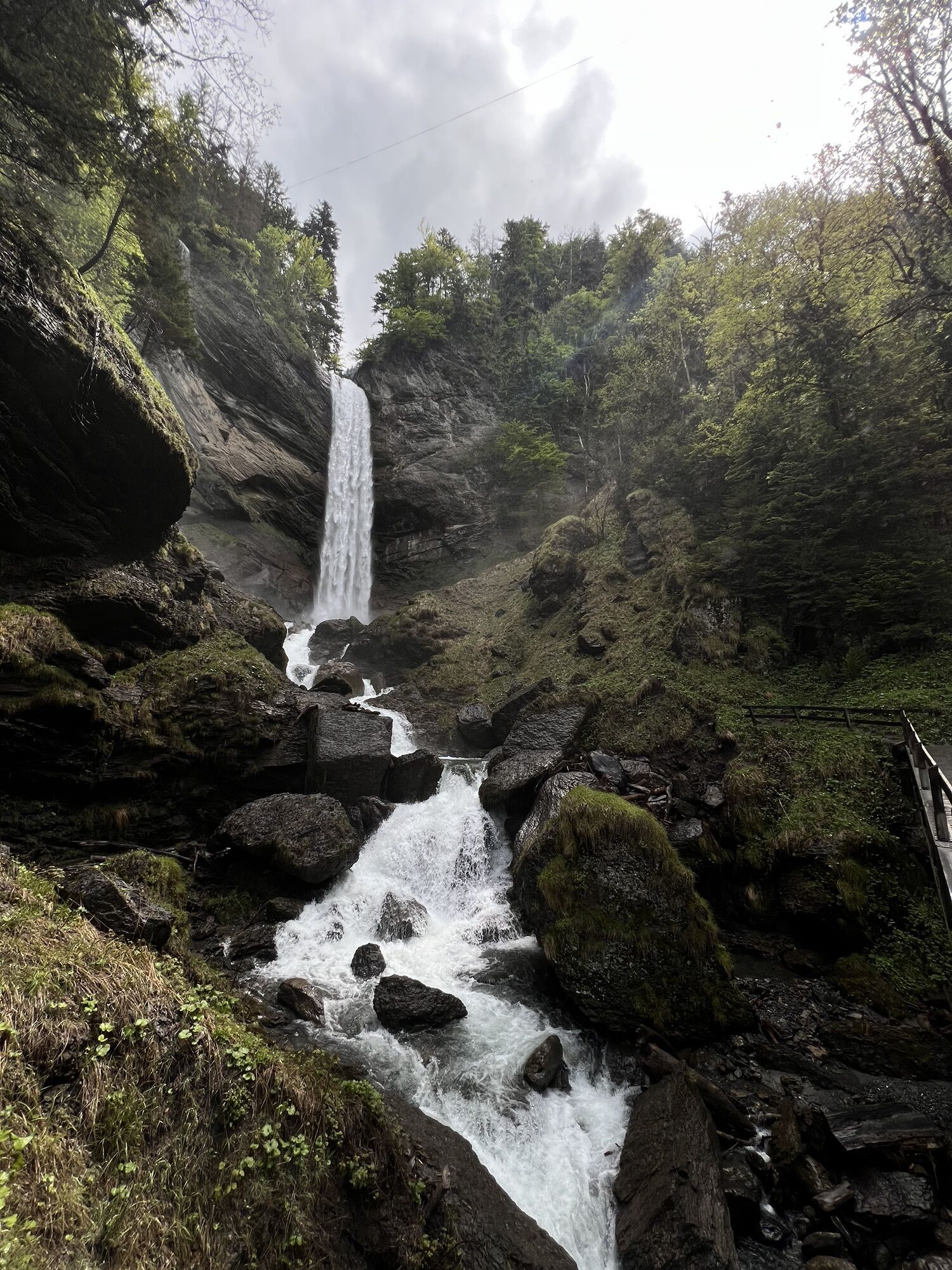
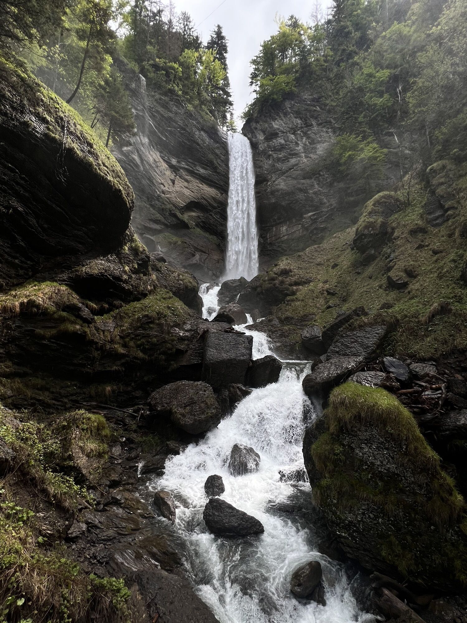
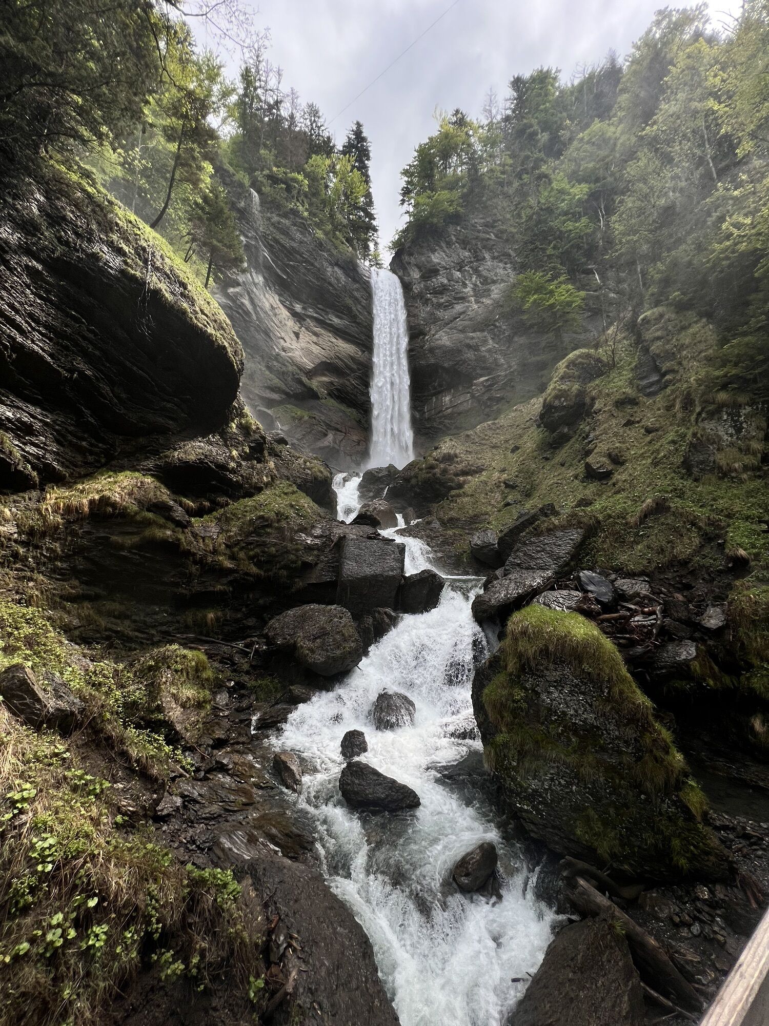
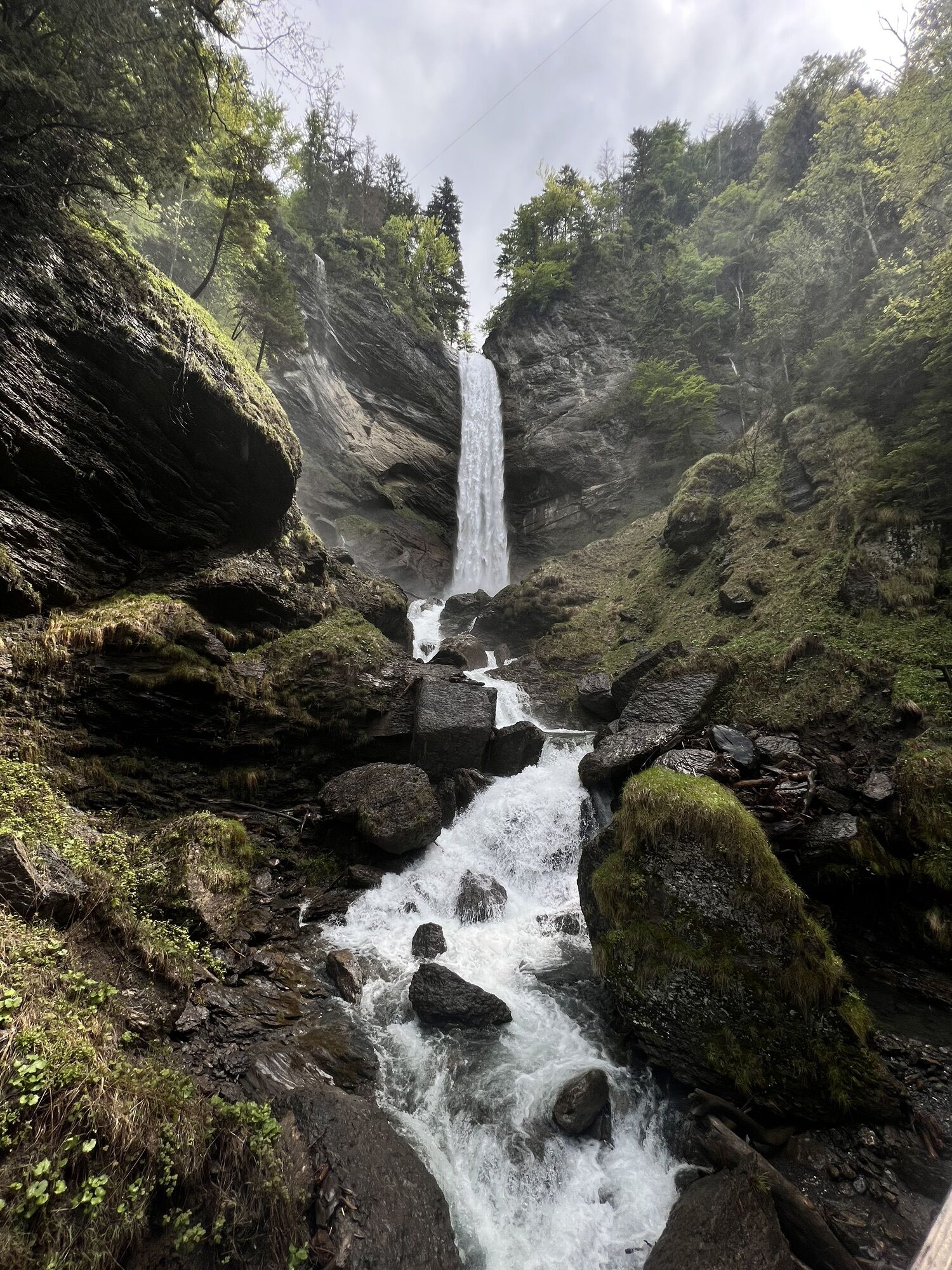
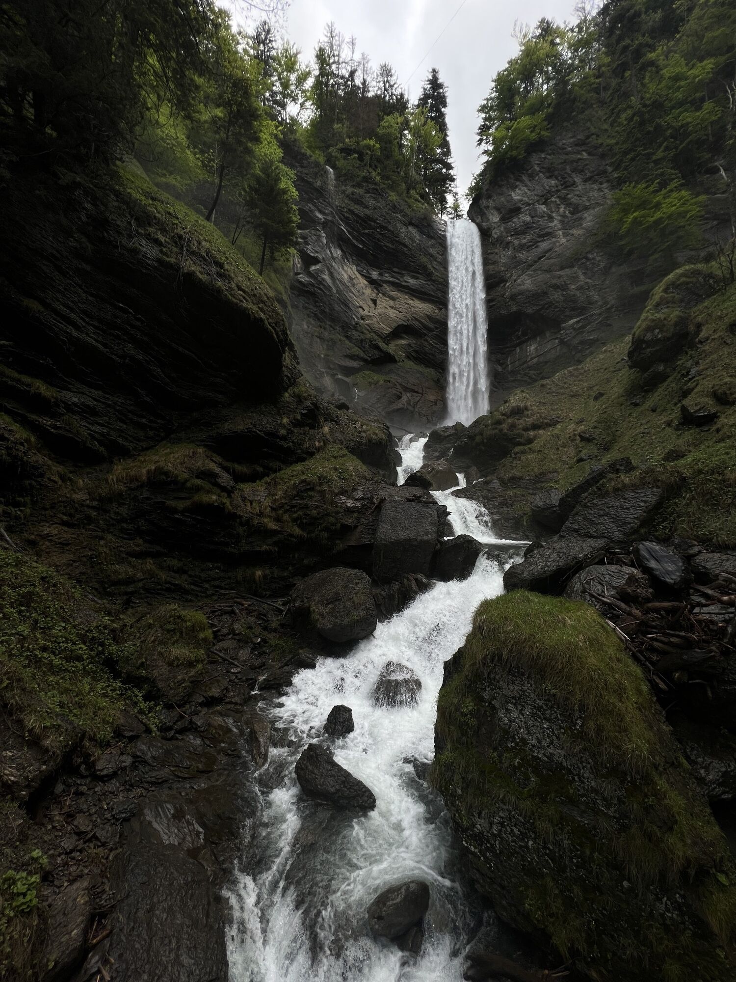
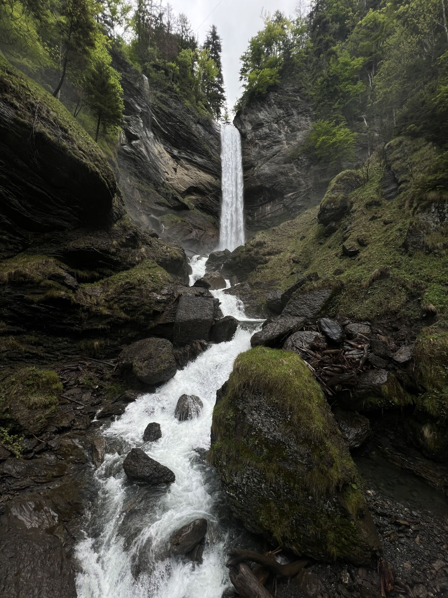
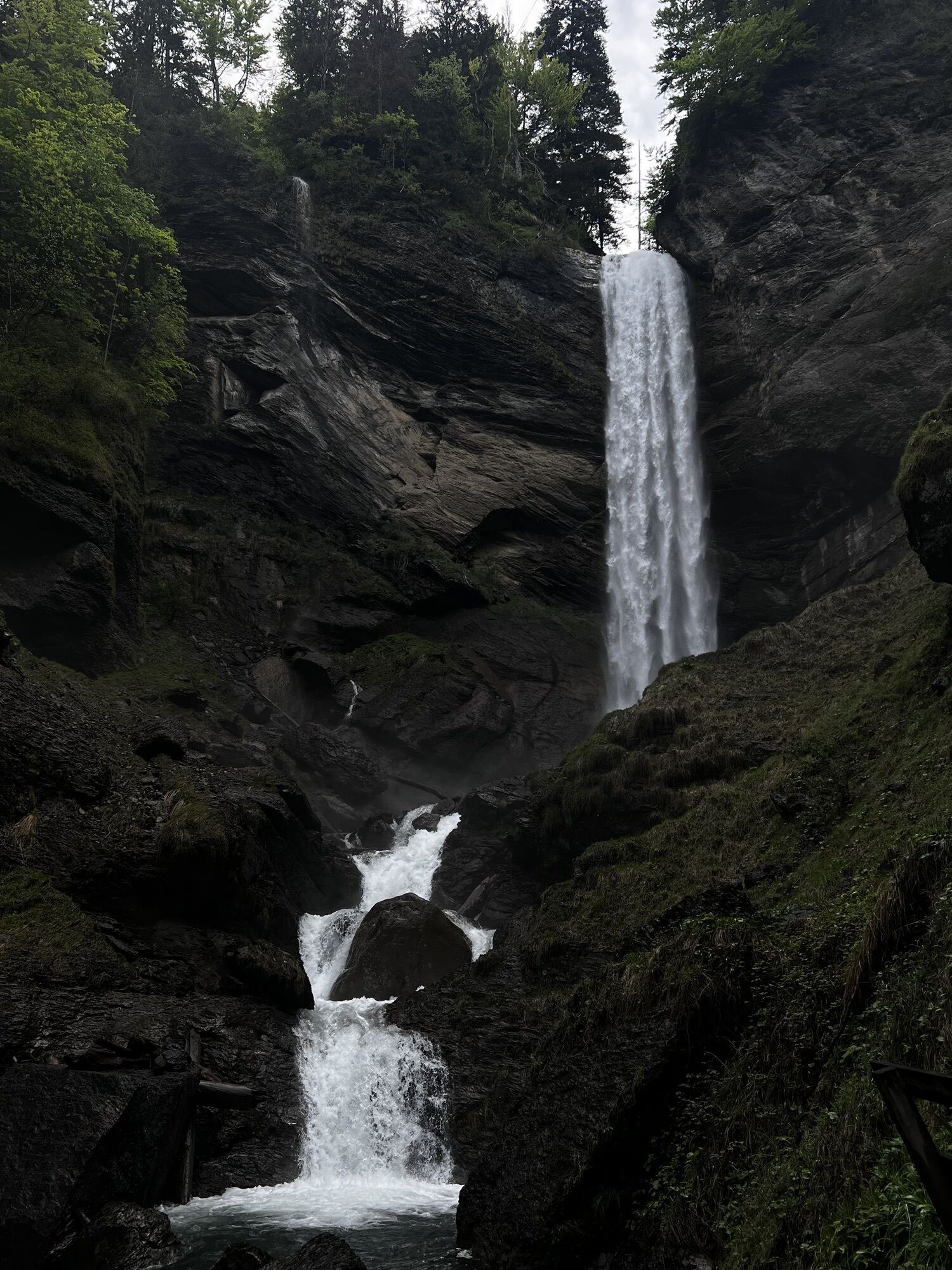
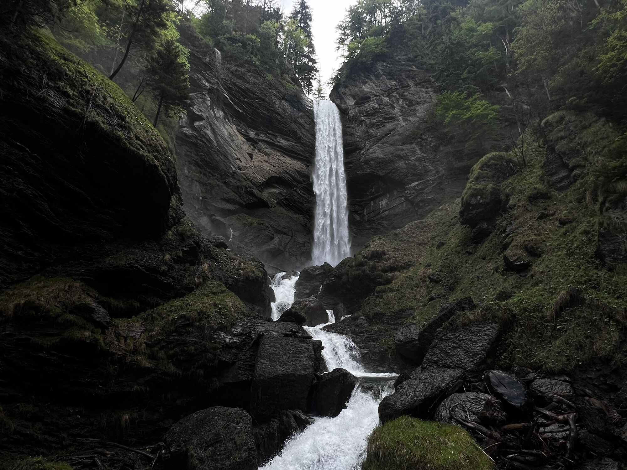
The circular route is 3.6 kilometers long and is located in Berschis near Walenstadt. From the village of Berschis, we hike about 25 minutes uphill until the Berschnerfall suddenly appears after a curve....
The circular route is 3.6 kilometers long and is located in Berschis near Walenstadt. From the village of Berschis, we hike about 25 minutes uphill until the Berschnerfall suddenly appears after a curve. The waterfall is a 46 m high single drop.
The path then goes up via steps to a paved road, which we follow for a while. Then we turn onto a natural trail that initially leads us to the Ughürig Brunnä, a natural glacial mill. A legend tells that the devil, in the form of a snake, guards an immense treasure that is located in the well.
The path continues to the Lourdes Grotto. The grotto was opened in 1921, not least as thanks from the community of Berschis for being spared from a cattle disease in the valley. On the benches under the large, old trees, it is nice to rest.
Afterwards, we continue hiking on a natural trail until we reach the paved road again. This road leads us back to the village.

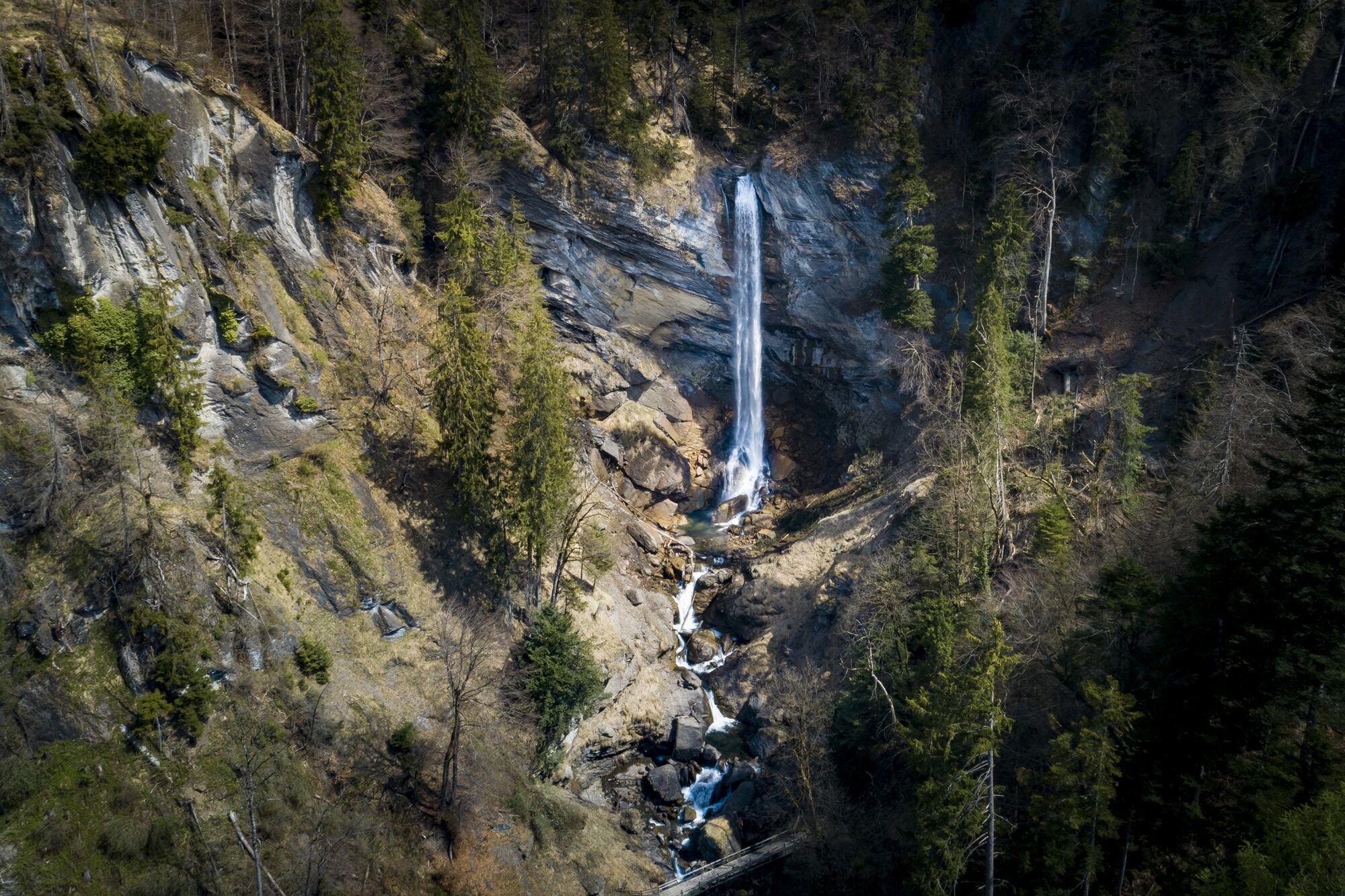
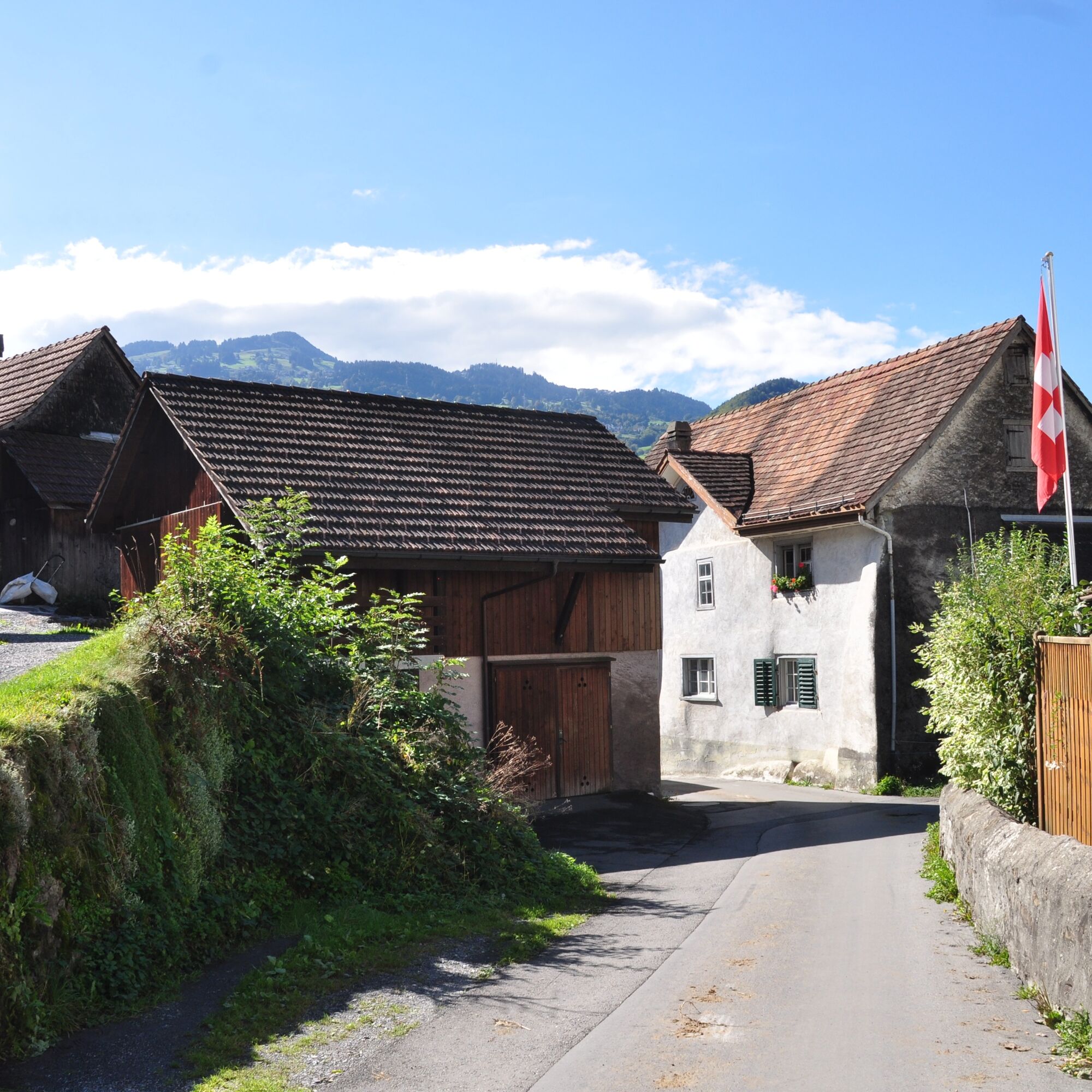
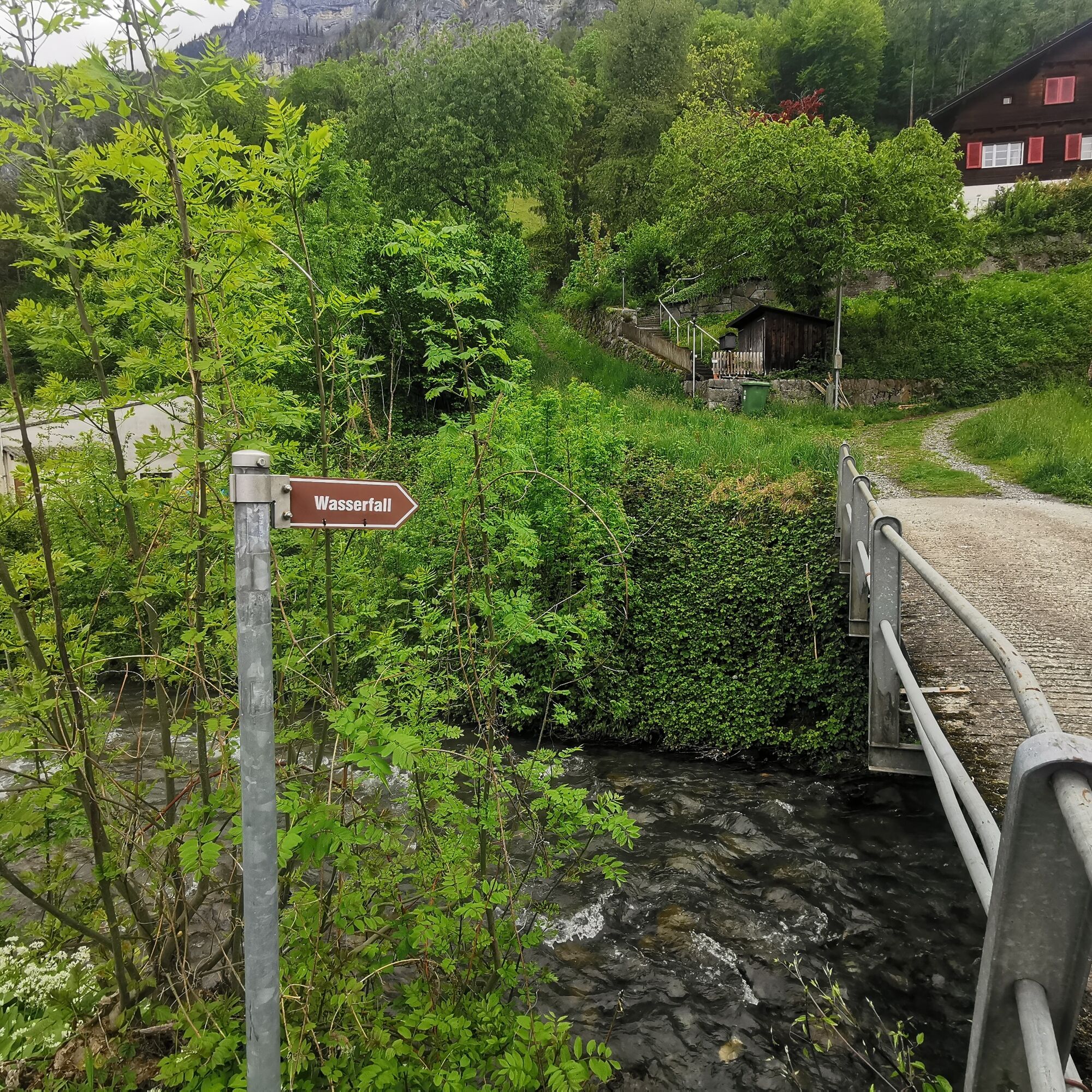
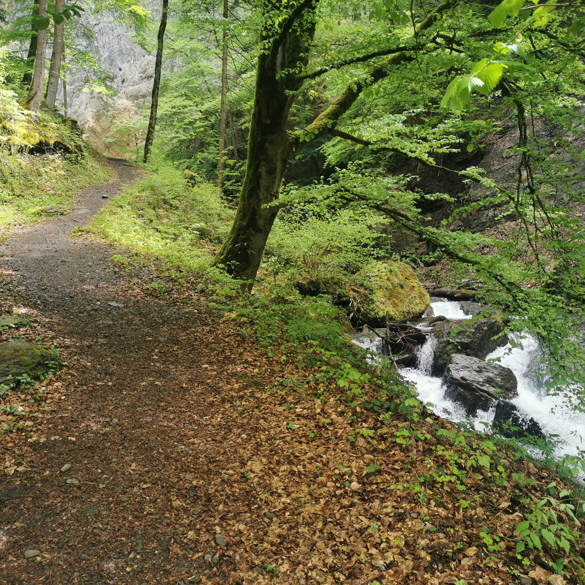
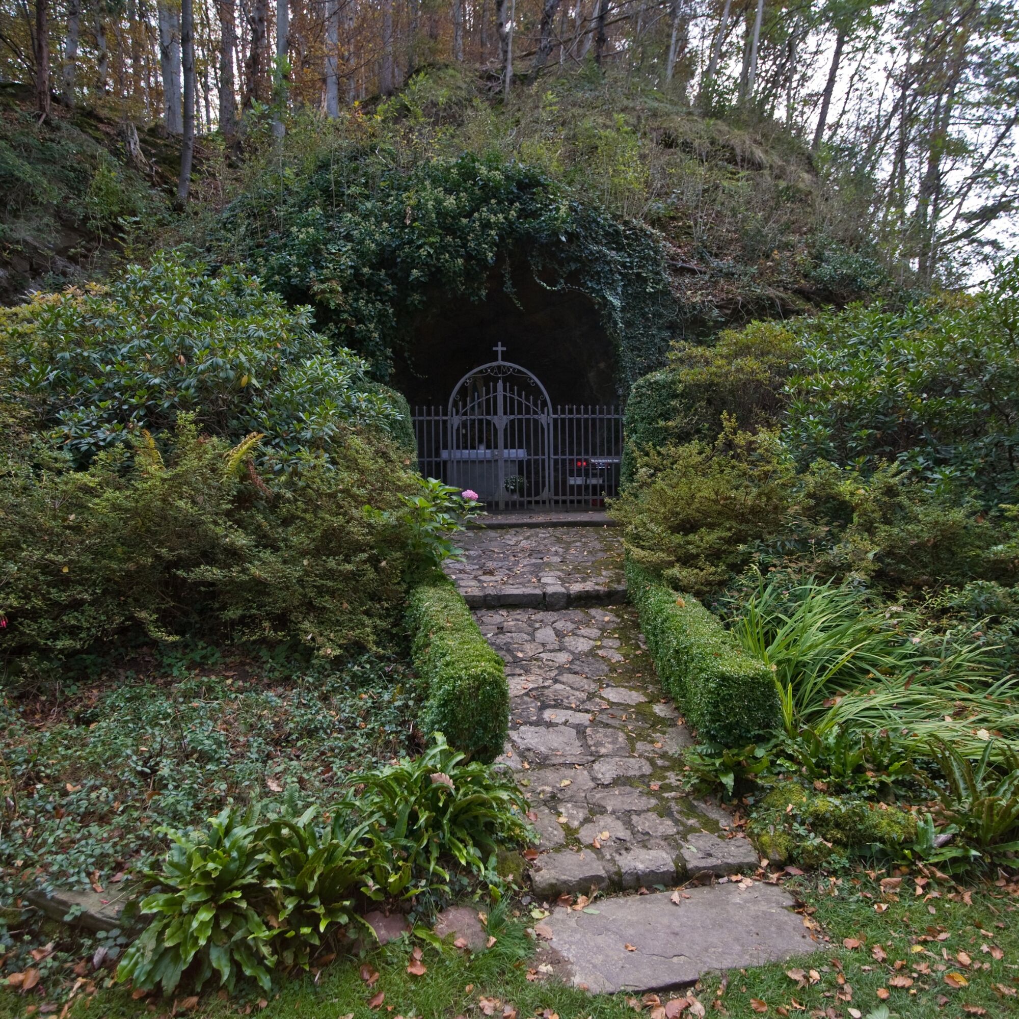
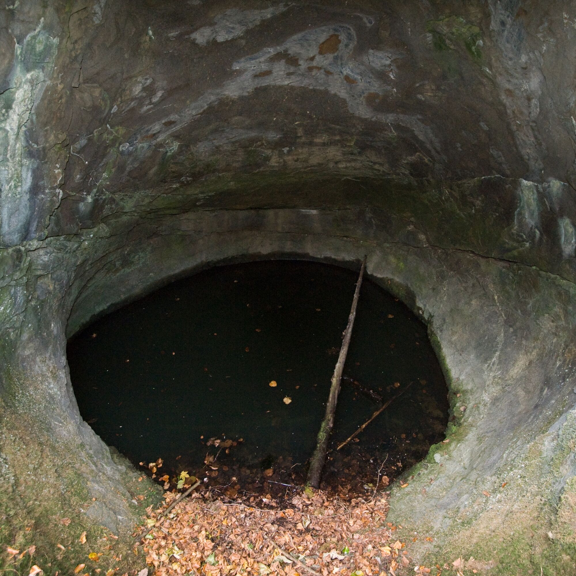

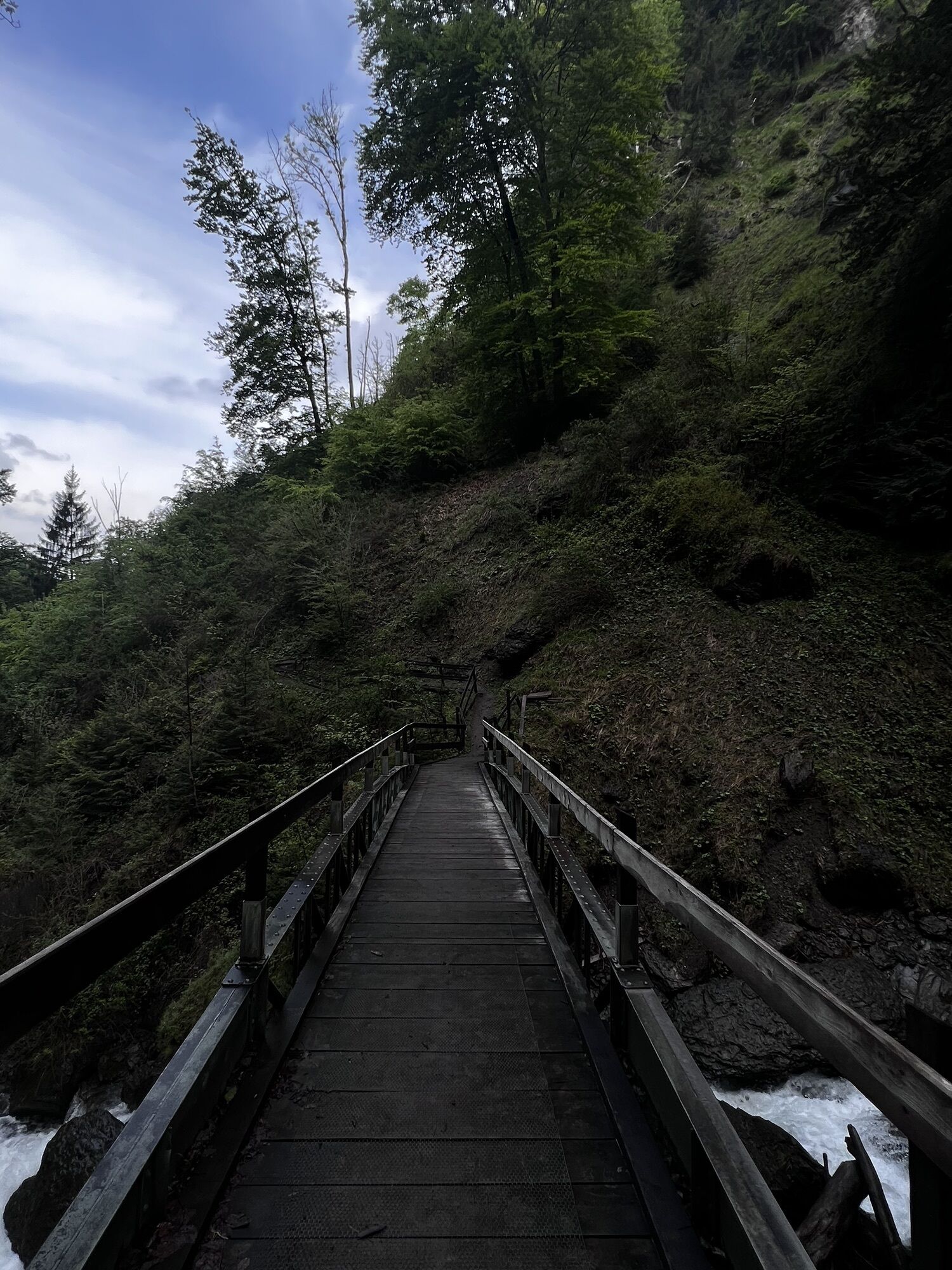
The path initially runs through the alleys of Berschis before a bridge crosses the Berschnerbach. From there, it continues on a natural trail deeper into a small ravine, always close to the Berschnerbach. At the halfway point, we reach the Berschnerfall, where a wooden bridge spans the roaring Berschnerbach. Wooden stairs then allow us to easily overcome a short, steep climb. Afterwards, the route goes downhill on a paved road until we turn onto a natural trail at the St. Georgen hill and walk downhill along the foot of the slope. After the Lourdes Grotto, the path leads back onto the paved road returning to the village of Berschis.
Light backpack, good footwear, weather-appropriate clothing, possibly telescopic poles
Some sections of the path in the ravine can be wet and slippery, as can the bridge at the waterfall due to the spray from the falls.
Take the Walenstadt/Flums motorway exit and then follow the main road towards Berschis.
Take the train to Walenstadt and then choose the bus to Berschis Unterdorf.
There are only a few public parking spaces in the village of Berschis (paid).
Heidiland Tourism, Flumserberg Information Office
T +41 81 720 18 18
www.heidiland.com
The waterfall is especially impressive in spring during snowmelt and after heavy rains.



Oblíbené prohlídky v okolí
-
4.7
Riviera Lake Walen Walenstadt-Quinten
středníTuristika 10.4 km -
4.6
Weesen - Quinten - Walenstadt
heavyTuristika 20.6 km -
4.5
7-Peak Tour Flumserberg
heavyTuristika 15.0 km -
4.7
5-Seen Wanderung am Pizol
světloTuristika 10.1 km -
4.9
Alpine and Cultural Trail Schrina
středníTematická stezka 11.5 km -
4.7
Alvier
středníTuristika 3.33 km -
4.6
4-Summit-Route Flumserberg
středníTuristika 8.65 km -
4.8
Arvenbüel - Egg - Alp Looch - Leistchamm
středníTuristika 11.4 km -
4.6
Maschgenkamm - Spitzmeilen hut - Tannenbodenalp
heavyTuristika 18.1 km -
4.7
Quinten-Trail 453
středníBěh 8.97 km
Pěší turistika a stopování


Nenechte si ujít nabídky a inspiraci pro vaši příští dovolenou
Vaše e-mailová adresa byl přidán do poštovního seznamu.





