


Maschgenkamm - Spitzmeilen hut - Tannenbodenalp
Fotografie našich uživatelů
 © Ann-Christine WeberVytvořeno dne 17.09.2023
 © Daniel HerzVytvořeno dne 28.03.2026
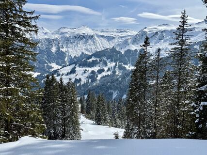 © Daniel HerzVytvořeno dne 28.03.2026
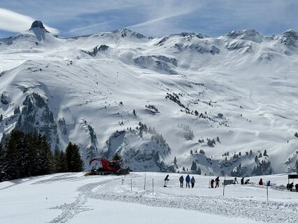 © Daniel HerzVytvořeno dne 28.03.2026
 © Daniel HerzVytvořeno dne 28.03.2026
 © Daniel HerzVytvořeno dne 28.03.2026
 © Daniel HerzVytvořeno dne 28.03.2026
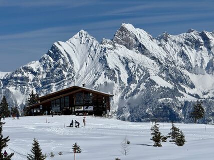 © Daniel HerzVytvořeno dne 28.03.2026
 © Dennis StengelVytvořeno dne 25.12.2025
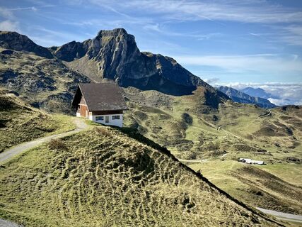 © Daniel HerzVytvořeno dne 28.09.2025
 © Daniel HerzVytvořeno dne 28.09.2025
 © PezzottaVytvořeno dne 22.06.2025
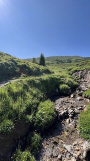 © PezzottaVytvořeno dne 22.06.2025
 © PezzottaVytvořeno dne 22.06.2025
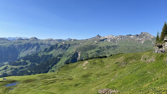 © PezzottaVytvořeno dne 22.06.2025
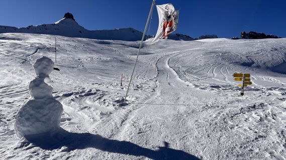
 © Erich Graf 2Vytvořeno dne 18.01.2025
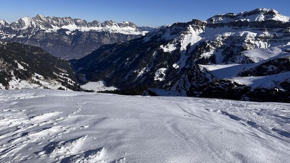 © Erich Graf 2Vytvořeno dne 18.01.2025
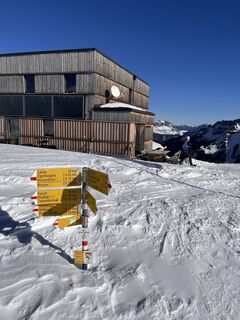 © Erich Graf 2Vytvořeno dne 18.01.2025
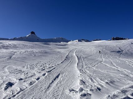 © Erich Graf 2Vytvořeno dne 18.01.2025
 © Ann-Christine WeberVytvořeno dne 17.09.2023
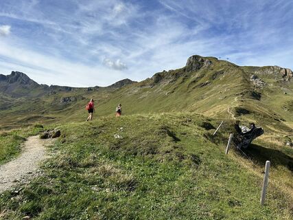 © Ann-Christine WeberVytvořeno dne 17.09.2023
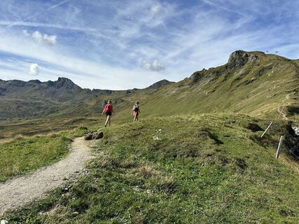 © Ann-Christine WeberVytvořeno dne 17.09.2023
 © Алексей СобчукVytvořeno dne 28.03.2026
 © Алексей СобчукVytvořeno dne 09.02.2026
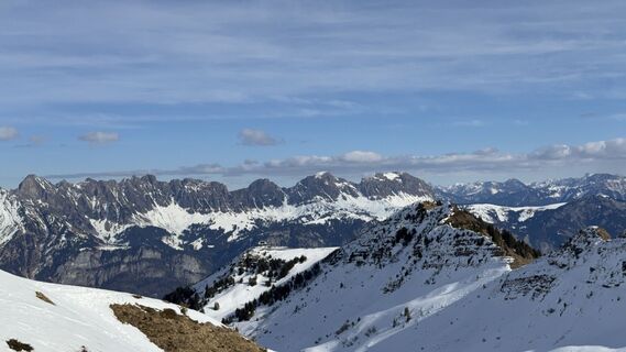 © Алексей СобчукVytvořeno dne 09.02.2026
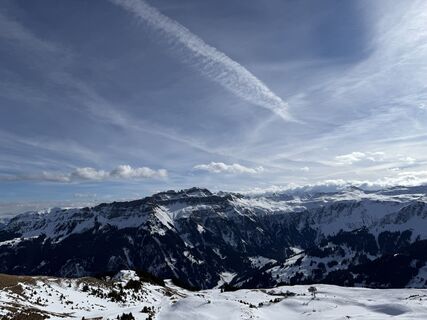 © Алексей СобчукVytvořeno dne 09.02.2026
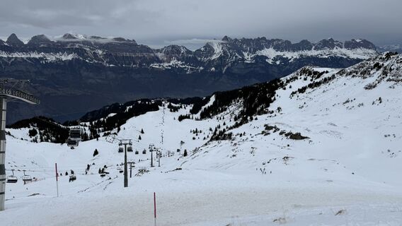 © Xun GuVytvořeno dne 25.01.2026
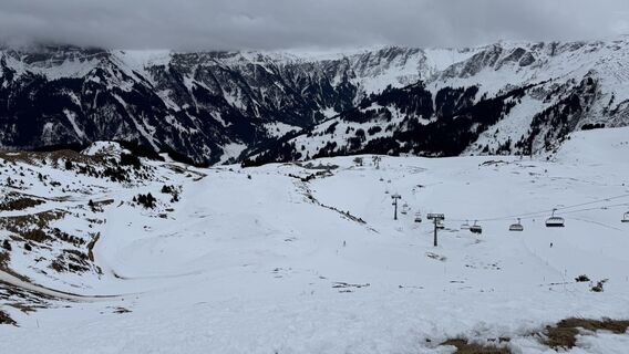 © Xun GuVytvořeno dne 25.01.2026
 © Xun GuVytvořeno dne 25.01.2026
 © cgassVytvořeno dne 04.01.2026
 © cgassVytvořeno dne 04.01.2026
 © cgassVytvořeno dne 04.01.2026
 © cgassVytvořeno dne 04.01.2026
 © cgassVytvořeno dne 04.01.2026
 © mosi mönäVytvořeno dne 07.09.2025
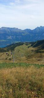 © mosi mönäVytvořeno dne 07.09.2025
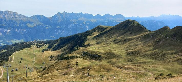 © mosi mönäVytvořeno dne 07.09.2025
 © mosi mönäVytvořeno dne 07.09.2025
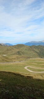 © mosi mönäVytvořeno dne 07.09.2025
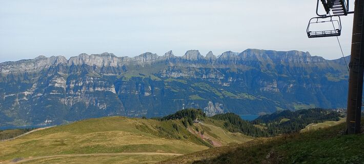 © mosi mönäVytvořeno dne 07.09.2025
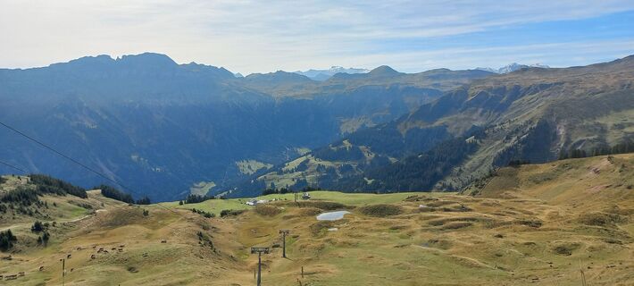 © mosi mönäVytvořeno dne 07.09.2025
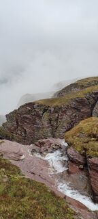
 © Joe TäschlerVytvořeno dne 27.05.2025
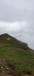 © Joe TäschlerVytvořeno dne 27.05.2025
 © Joe TäschlerVytvořeno dne 27.05.2025
 © Joe TäschlerVytvořeno dne 27.05.2025
 © ruoss thomasVytvořeno dne 06.04.2025
 © Marlyse LeuVytvořeno dne 16.02.2025
 © Marlyse LeuVytvořeno dne 16.02.2025

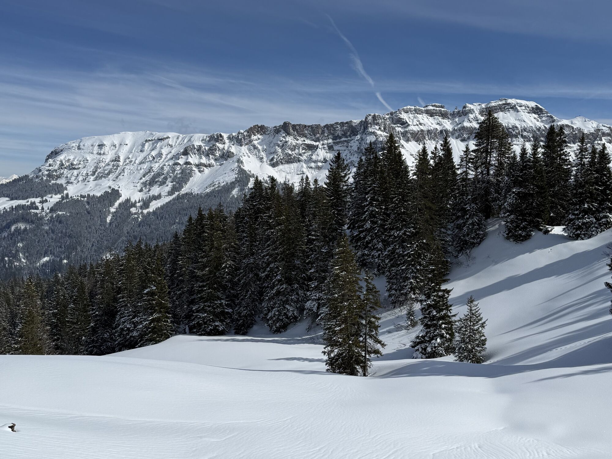
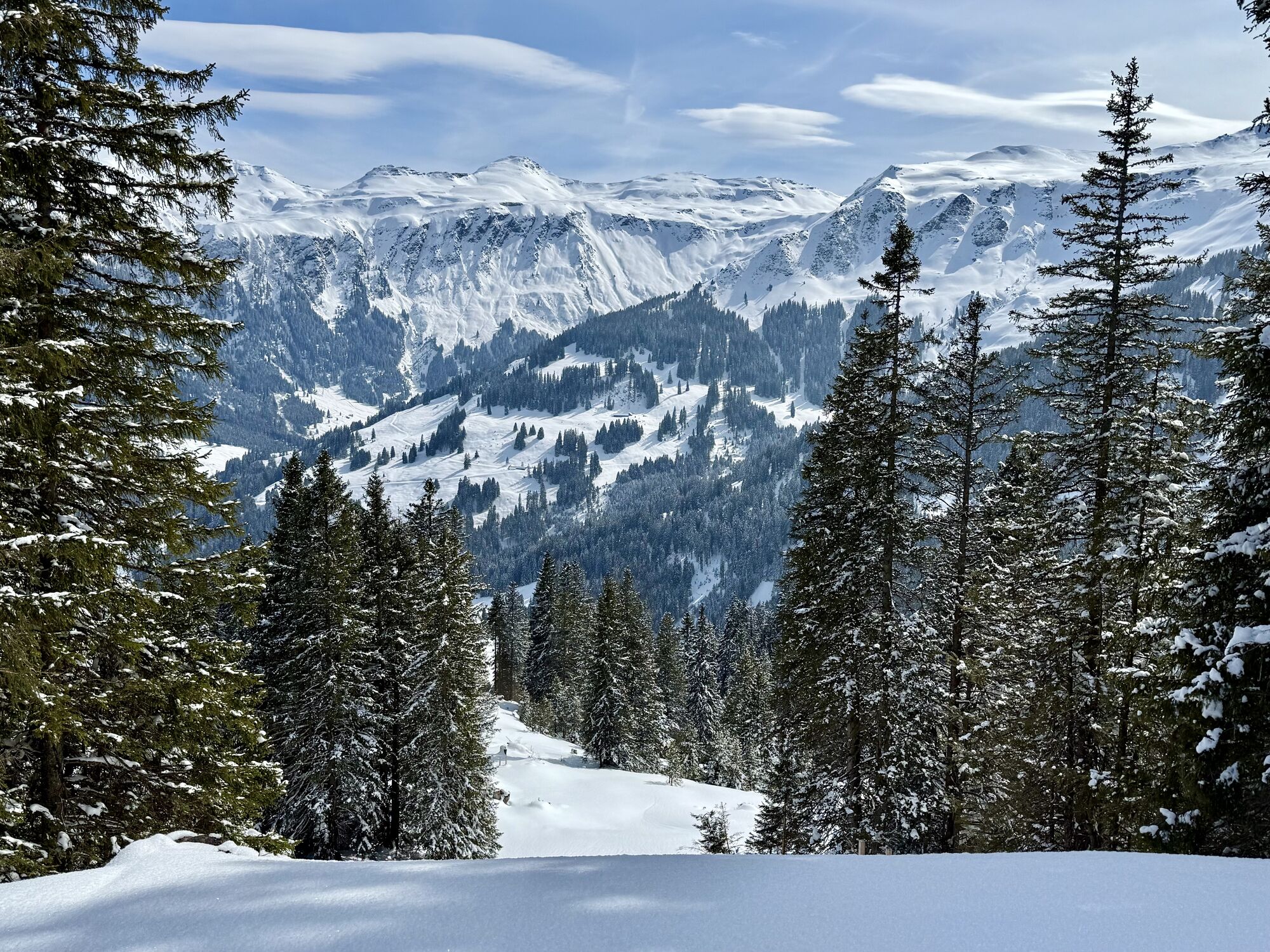

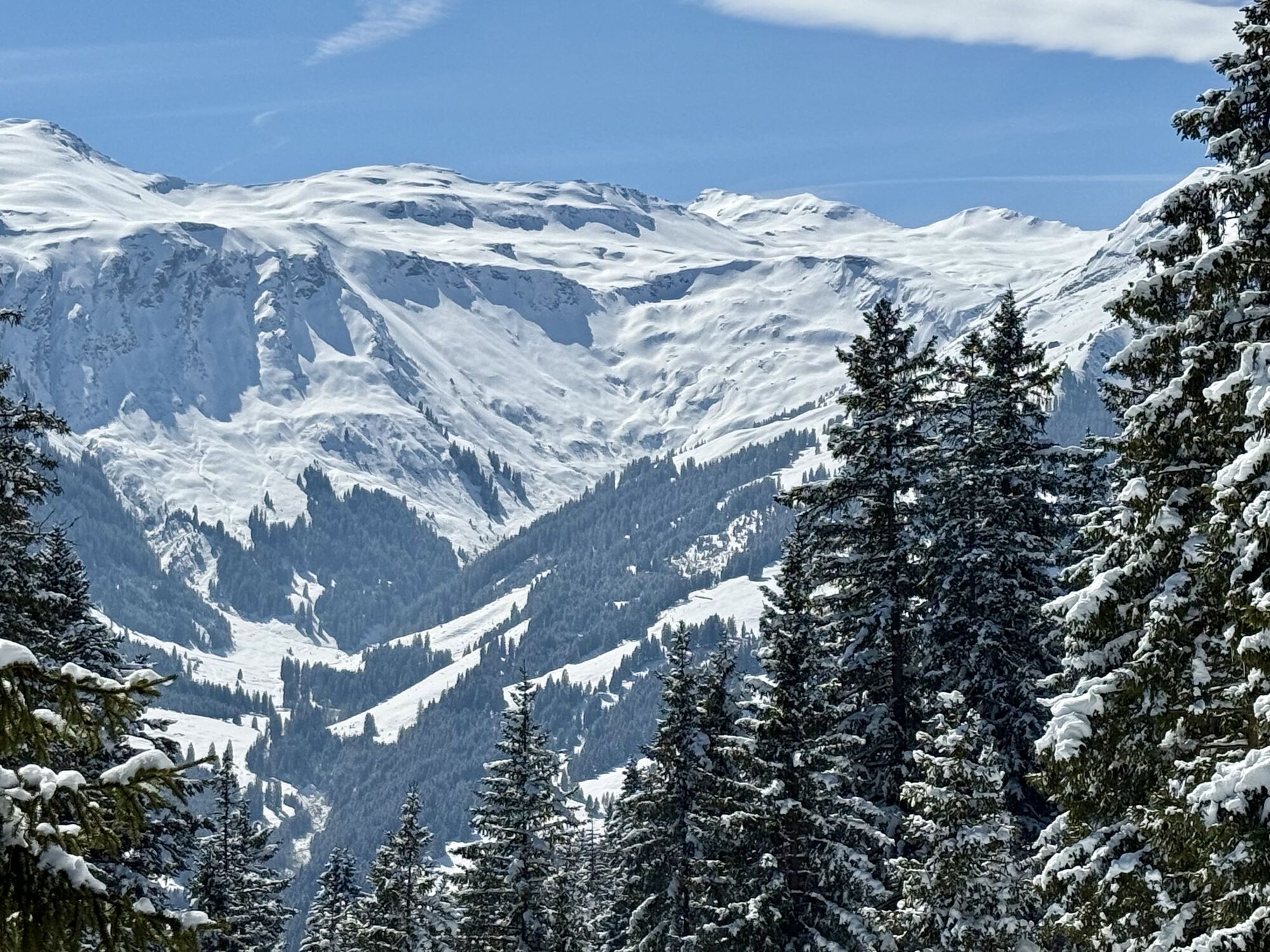
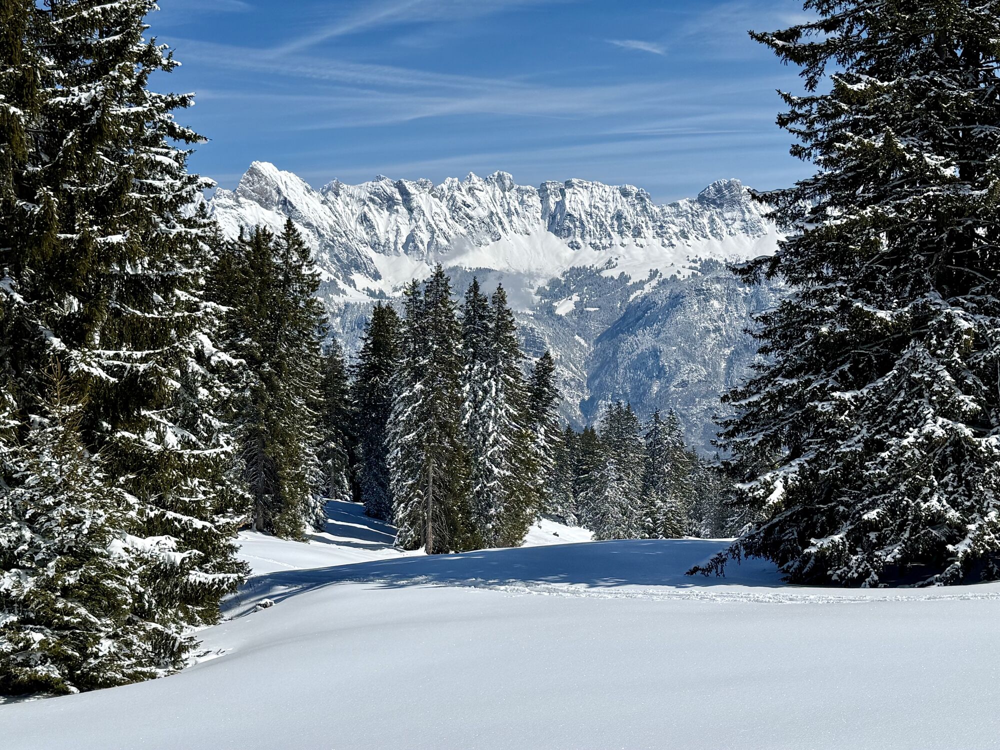
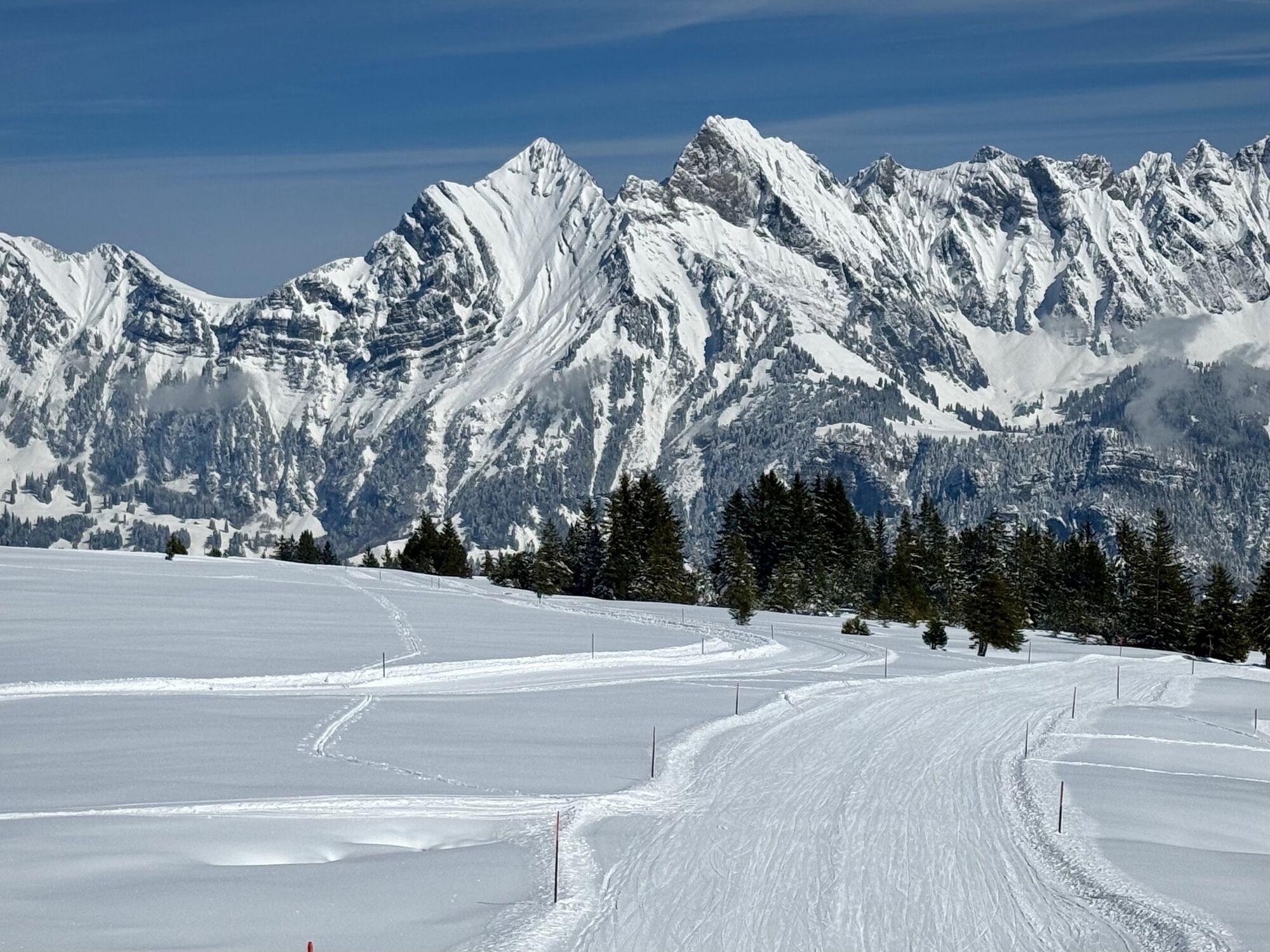

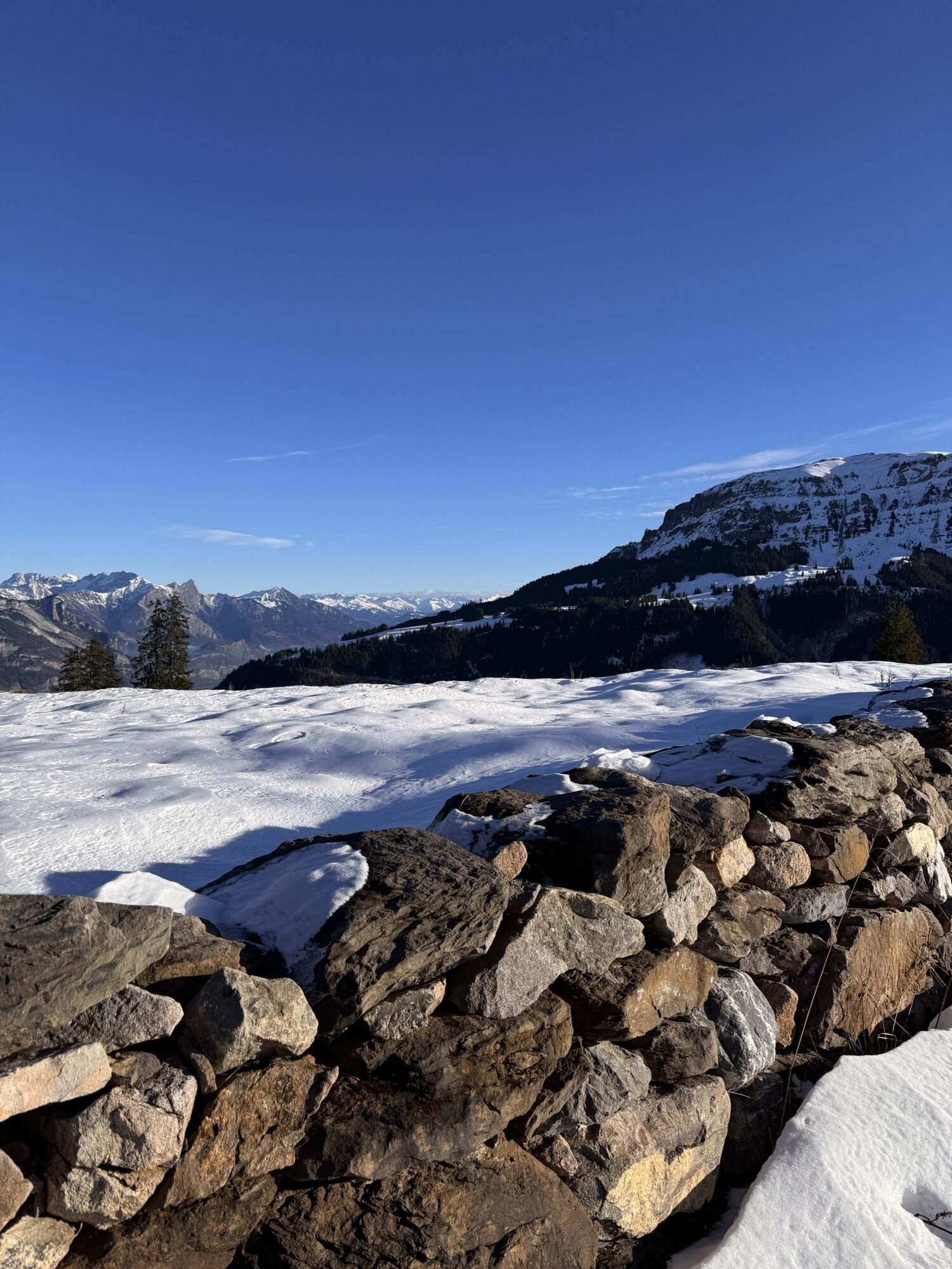


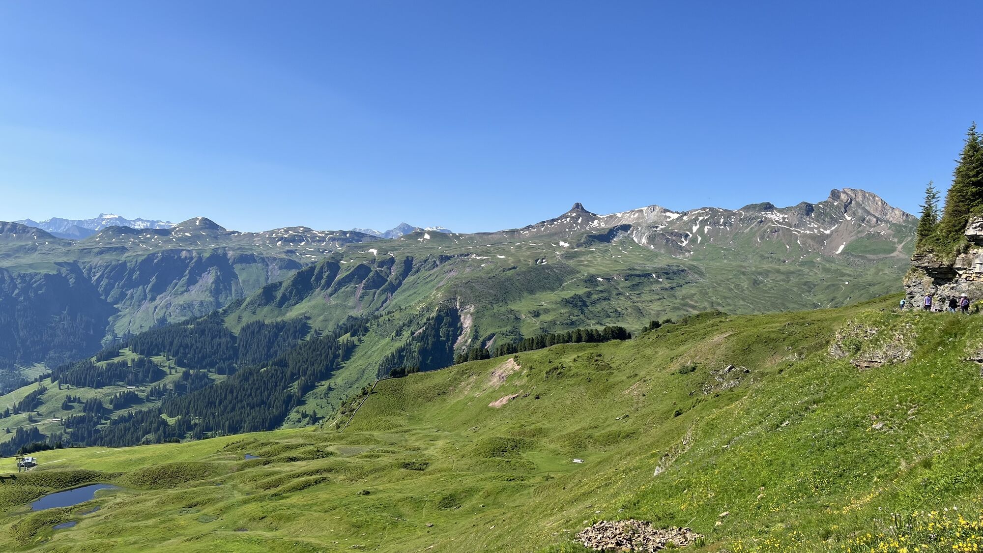


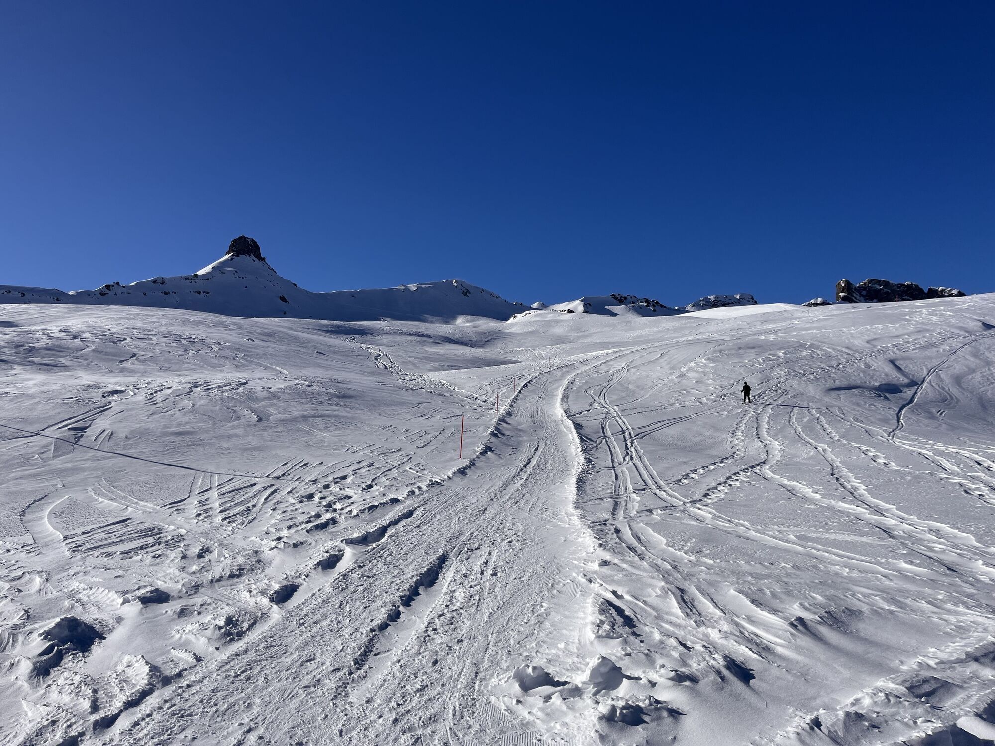
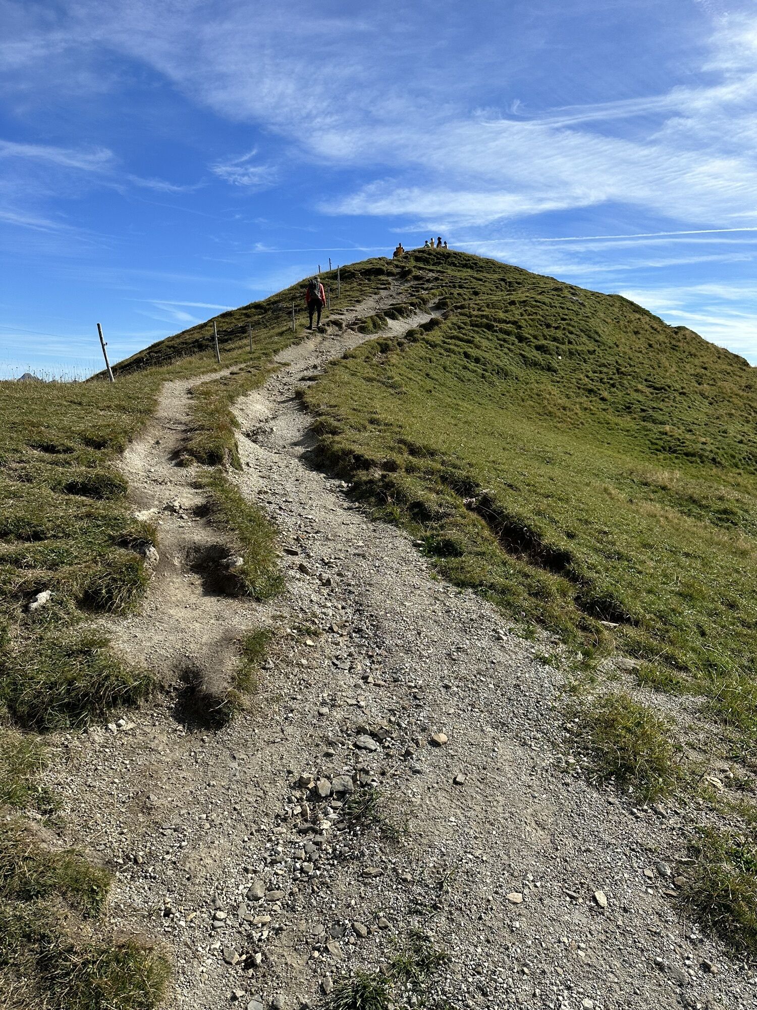
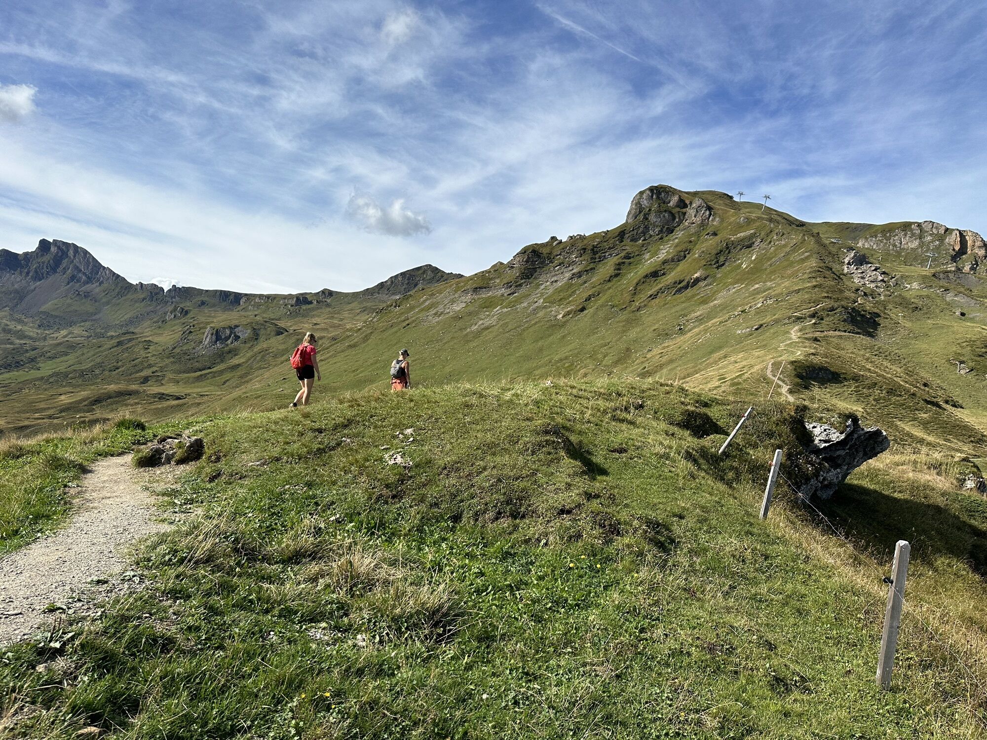
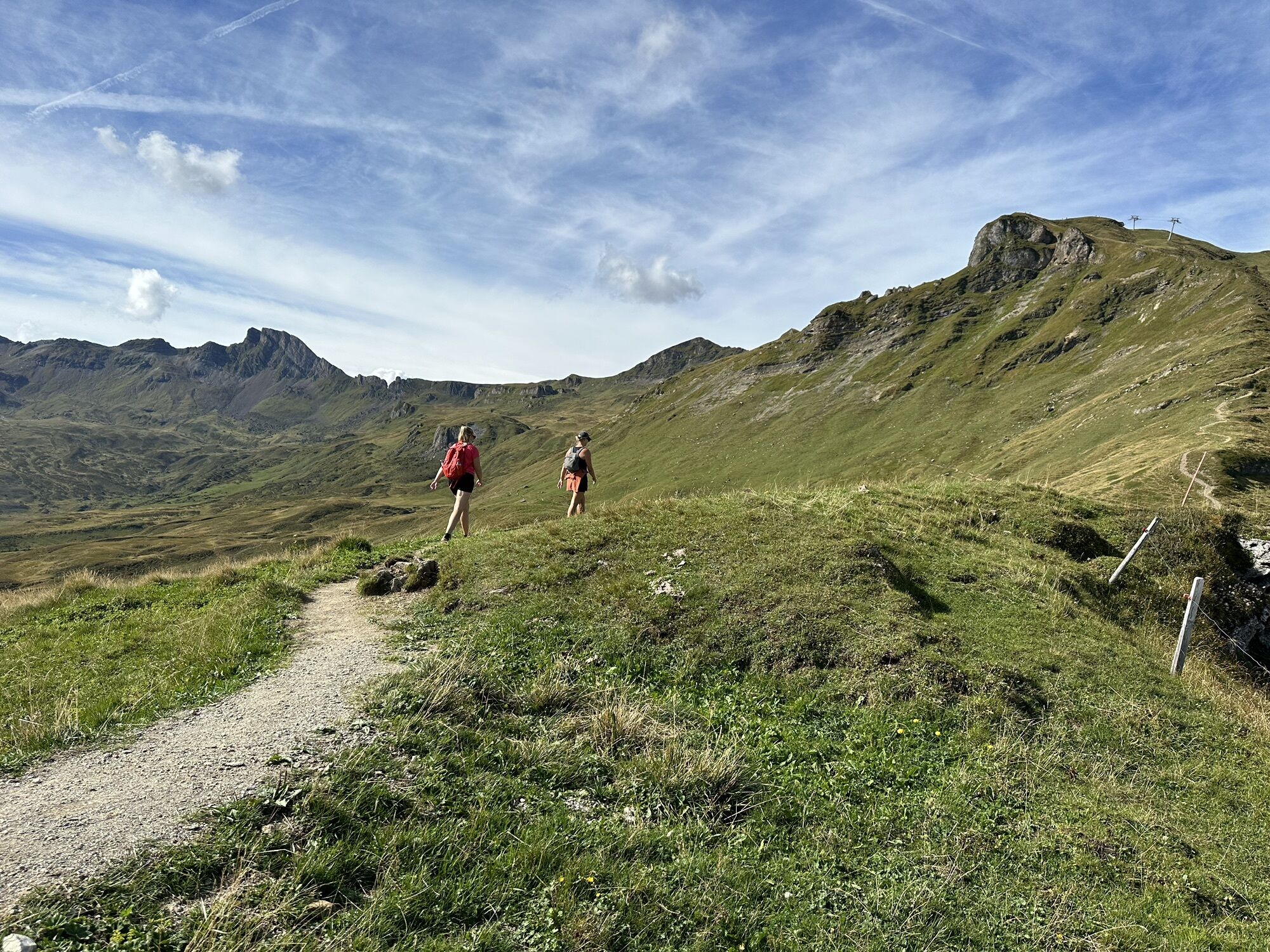

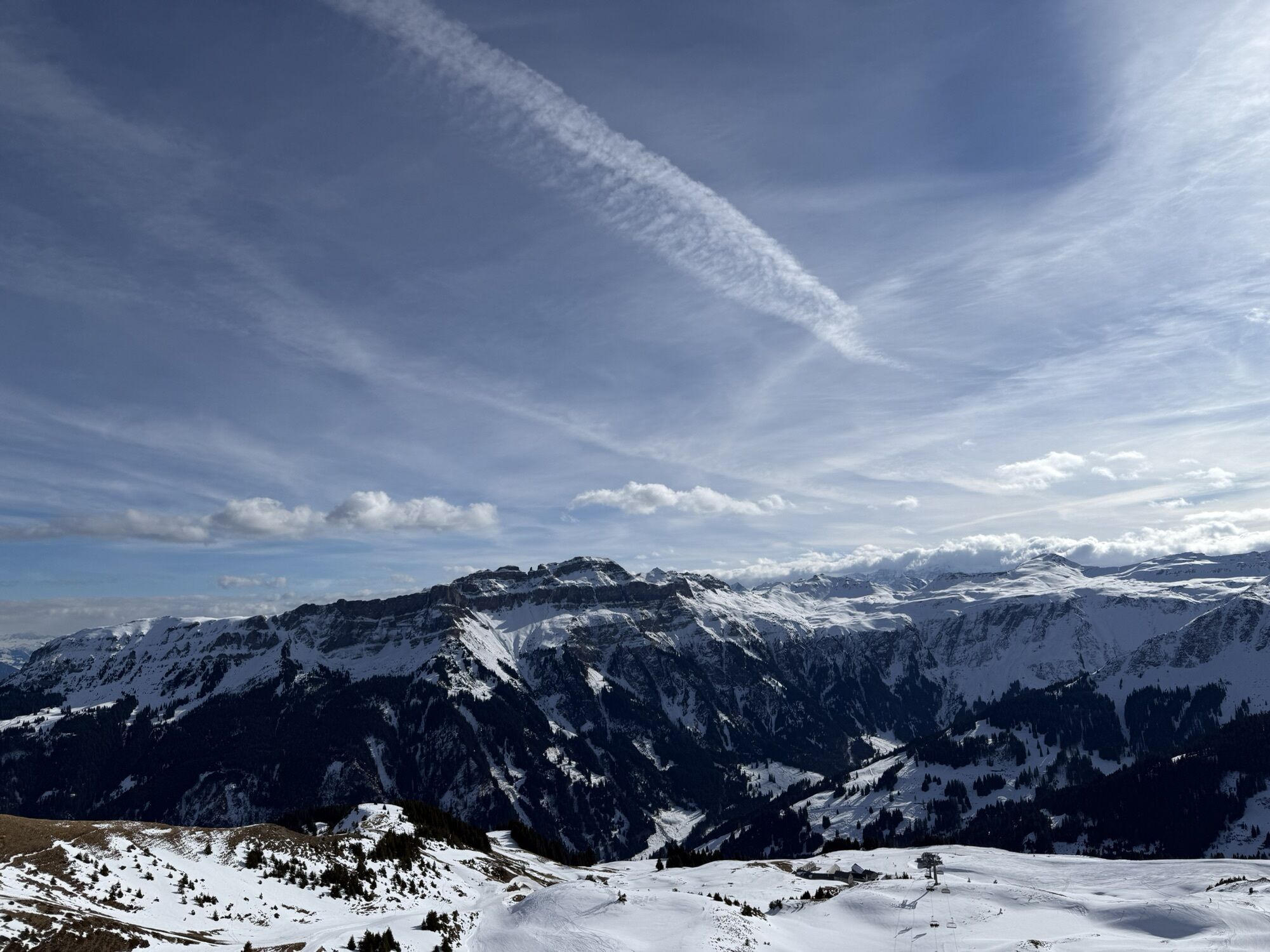


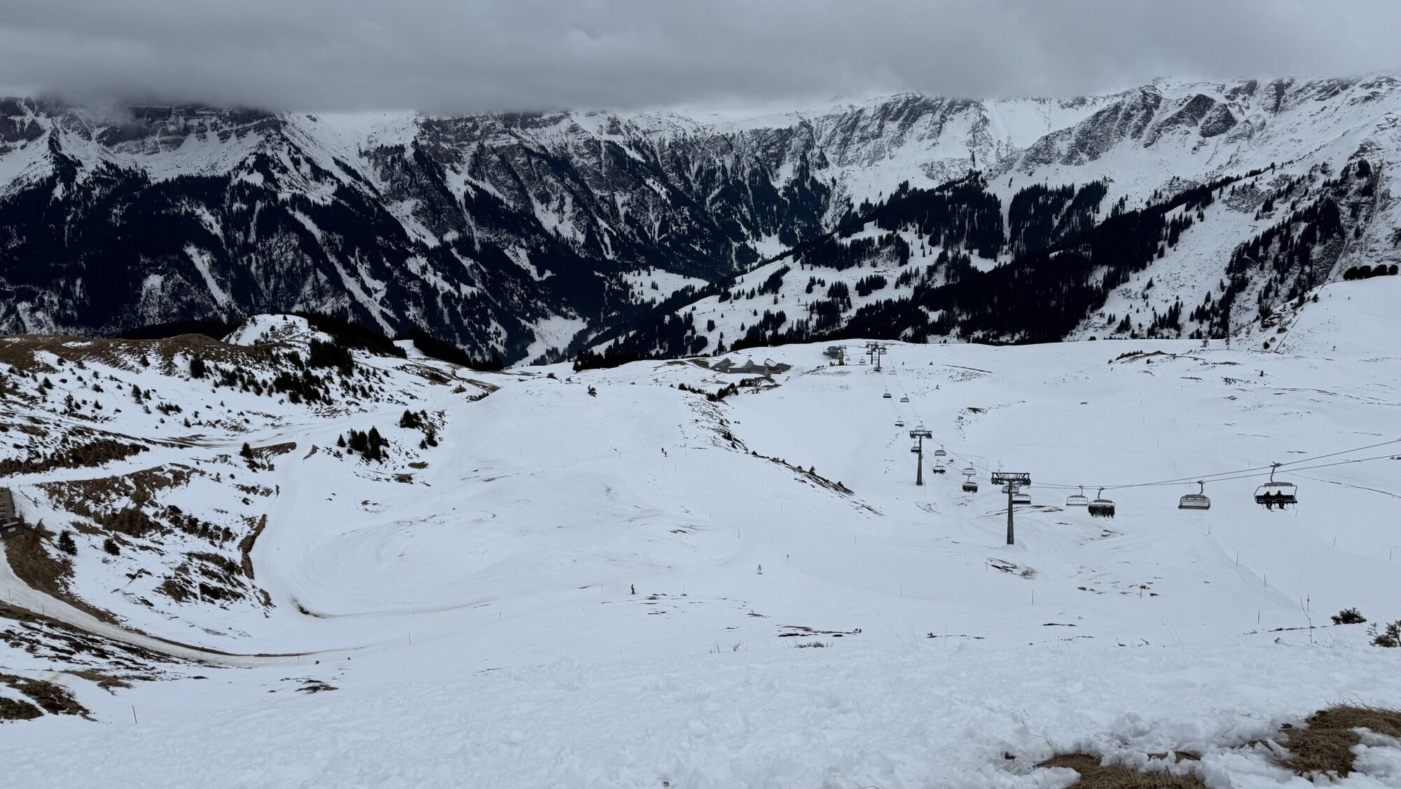

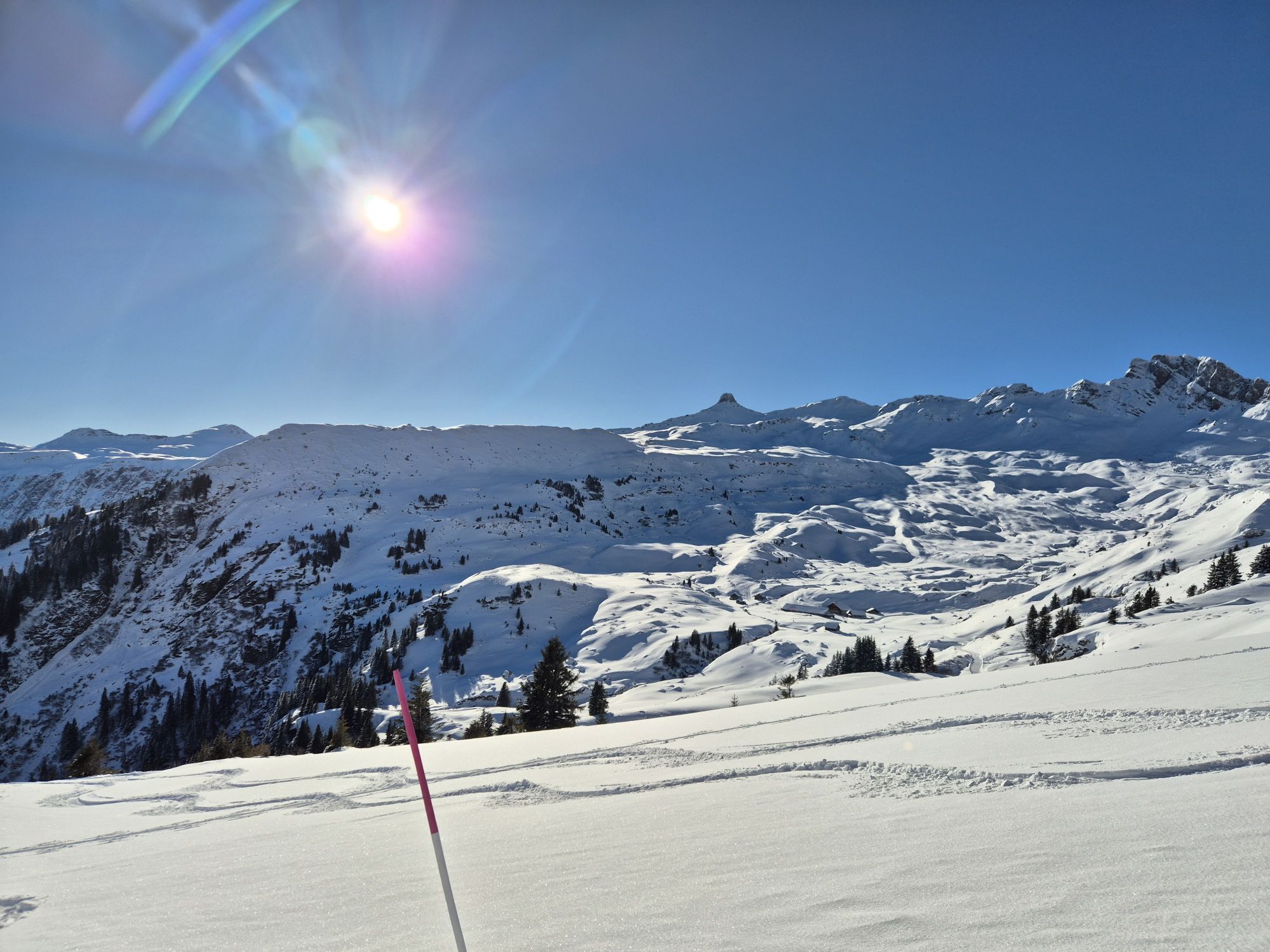
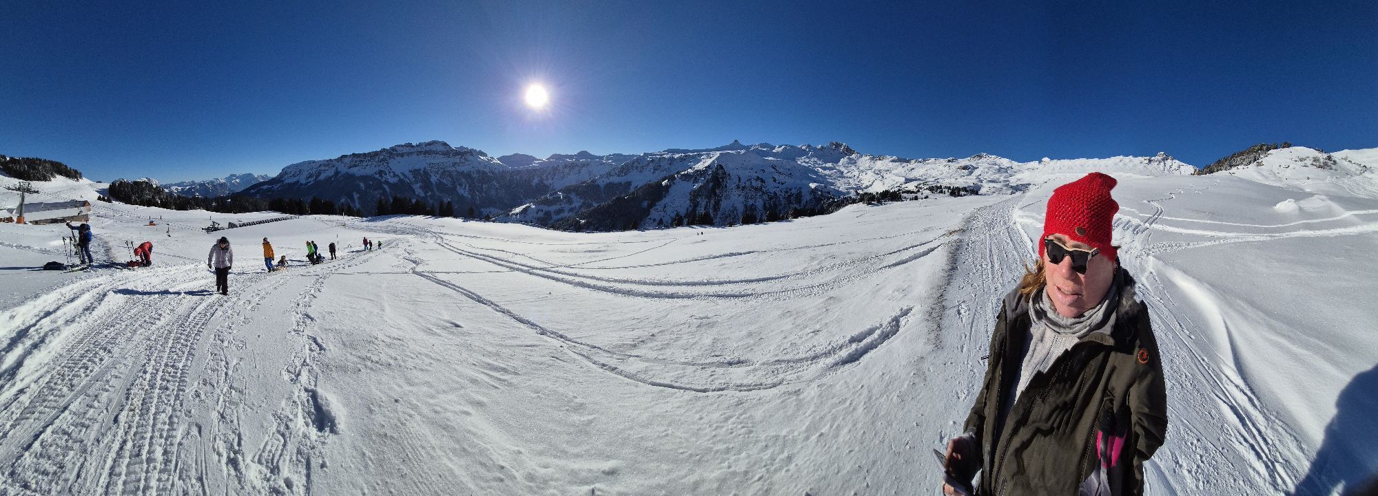


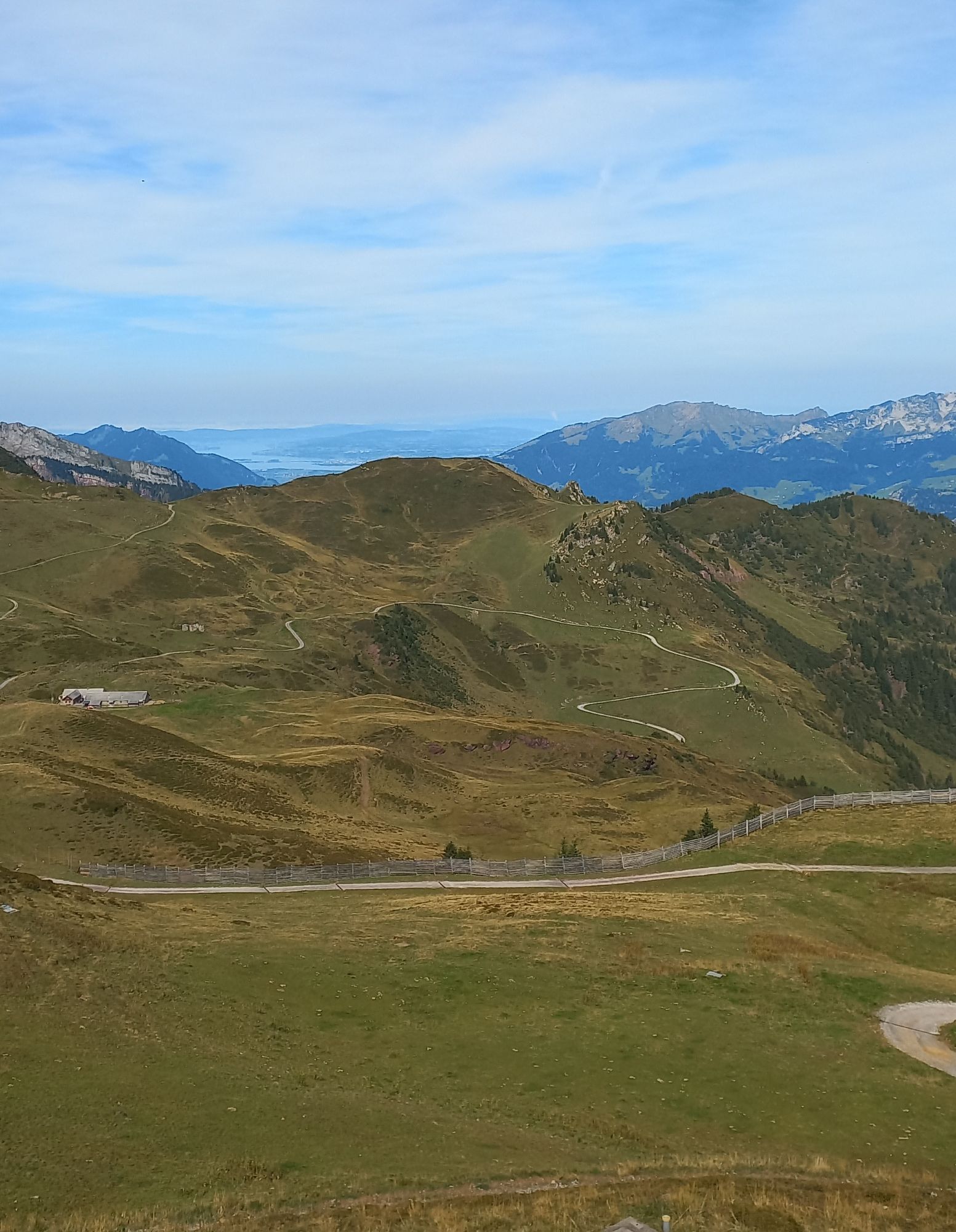


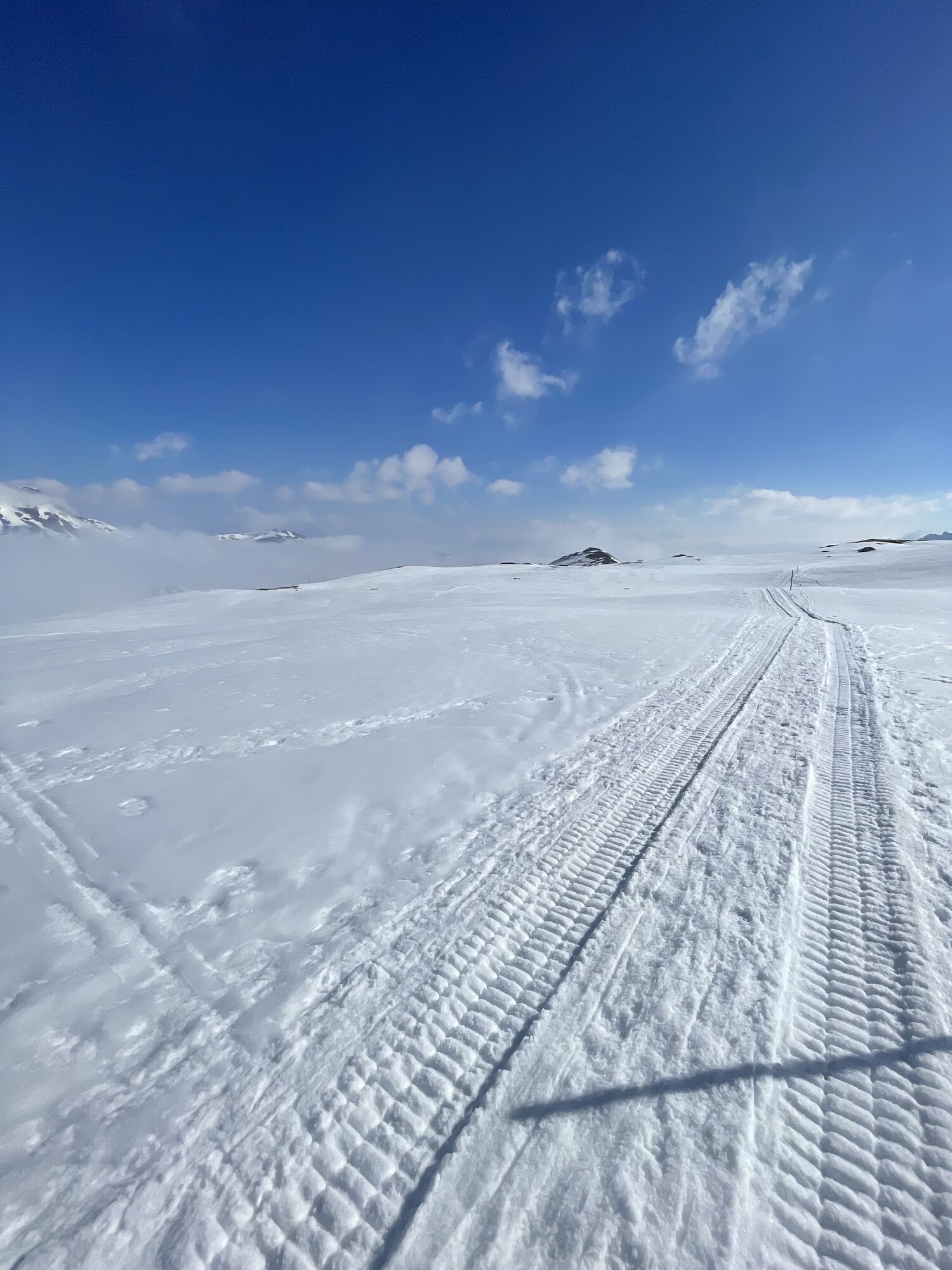
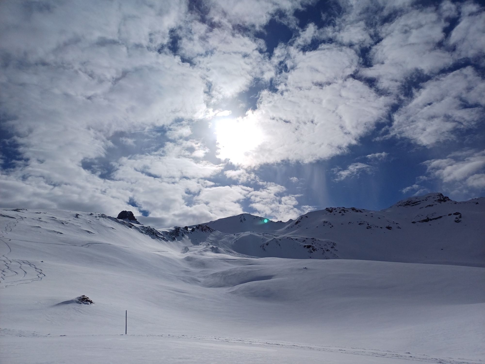

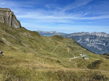
From Flumserberg-Tannenbodenalp, the gondola takes us directly to Maschgenkamm. From Maschgenkamm, we hike on a level path to Zigerfurgglen and then follow the trail over Calans to the Spitzmeilen hut....
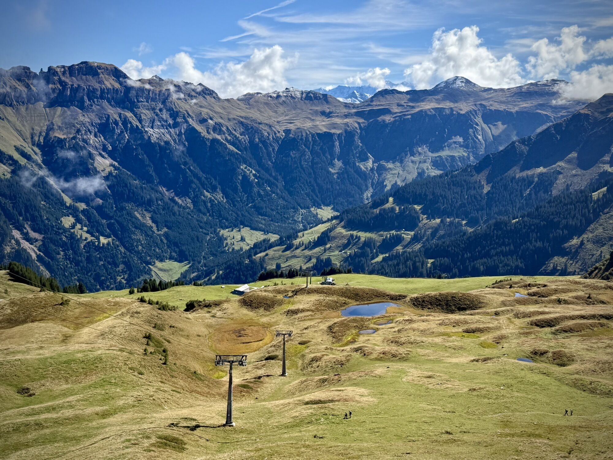
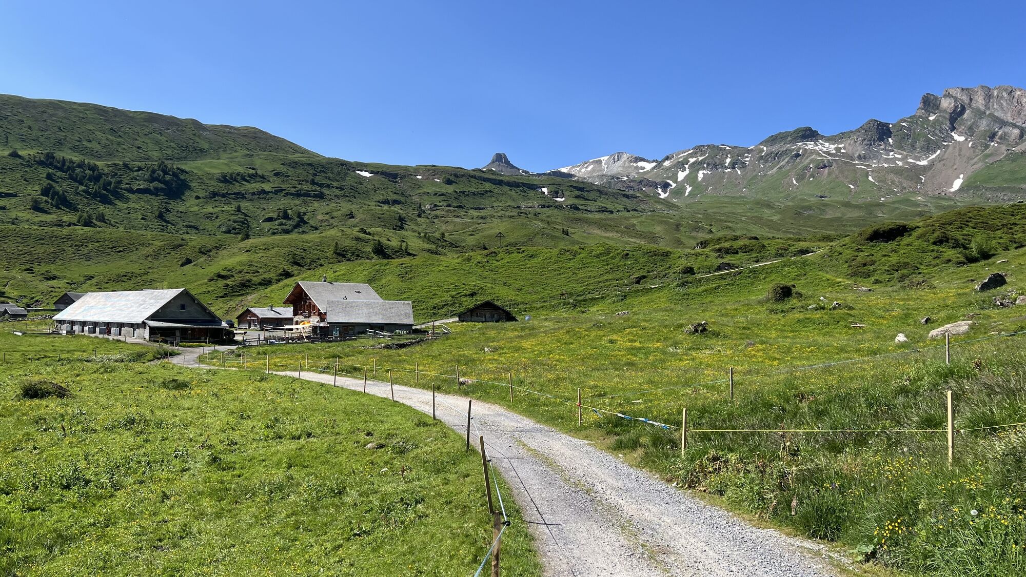
From Flumserberg-Tannenbodenalp, the gondola takes us directly to Maschgenkamm. From Maschgenkamm, we hike on a level path to Zigerfurgglen and then follow the trail over Calans to the Spitzmeilen hut. Those who feel like it and have time can take a detour from the Spitzmeilen hut to the nearby Madseeli. From the Spitzmeilen hut, we follow the trail downhill to Alp Fursch, then continue on a good natural road until the signpost pointing to Panüöl. From Panüöl, take the path towards Prodalp. On the way, we pass a nice fire pit inviting for grilling. Upon arrival at Prodalp, we take the path towards Alp Tannenboden. After a short steep descent past the Madils high moor, we reach Alp Tannenboden via the road. Along the way, we take a look into the modern cheese dairy. Below the alp, a level path crosses the pasture back to the starting point at Tannenboden.


Maschgenkamm - Zigerfurgglen - Calans - Spitzmeilenhütte SAC - Fursch - Panüöl - Prodalp - Tannenbodenalp
Normal hiking equipment, sturdy mountain boots.
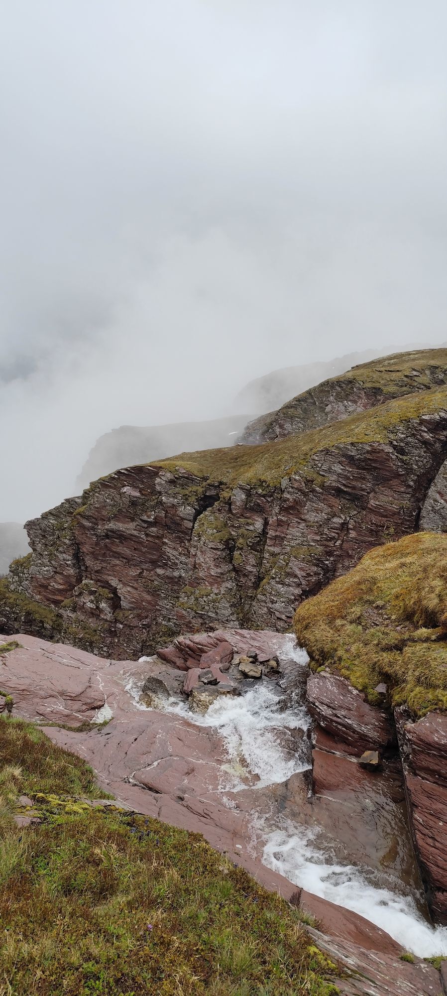
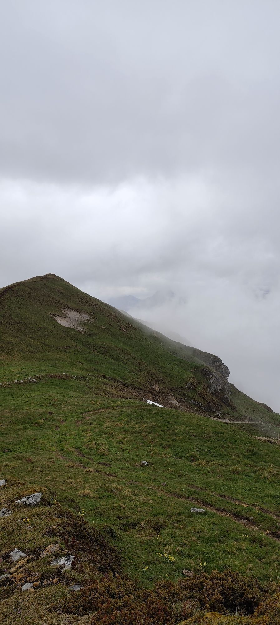
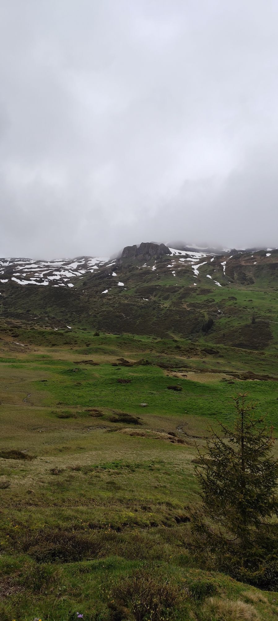
Not too demanding mountain hike over partly pathless high pastures, so it involves certain dangers in fog. Unsuitable for inexperienced hikers.
Motorway exit Flums, then continue on the main road to Flums.
By train to Unterterzen, then continue with the Unterterzen-Flumserberg cable car (LUFAG) and the gondola lift to Maschgenkamm
Public parking available at Tannenboden.
The parking spaces are chargeable from 7:00 a.m. to 5:00 p.m. From 5:00 p.m. to 2:00 a.m., you may park free of charge.
From 2:00 a.m. to 7:00 a.m., there is a night parking ban. Sufficient night parking spaces are available in the Tannenboden parking garage or in the Tannenheim.
The night parking lot can be used for a fee, but camping is prohibited.
Heidiland Tourism
Flumserberg Information Point
T +41 81 720 18 18
www.heidiland.com
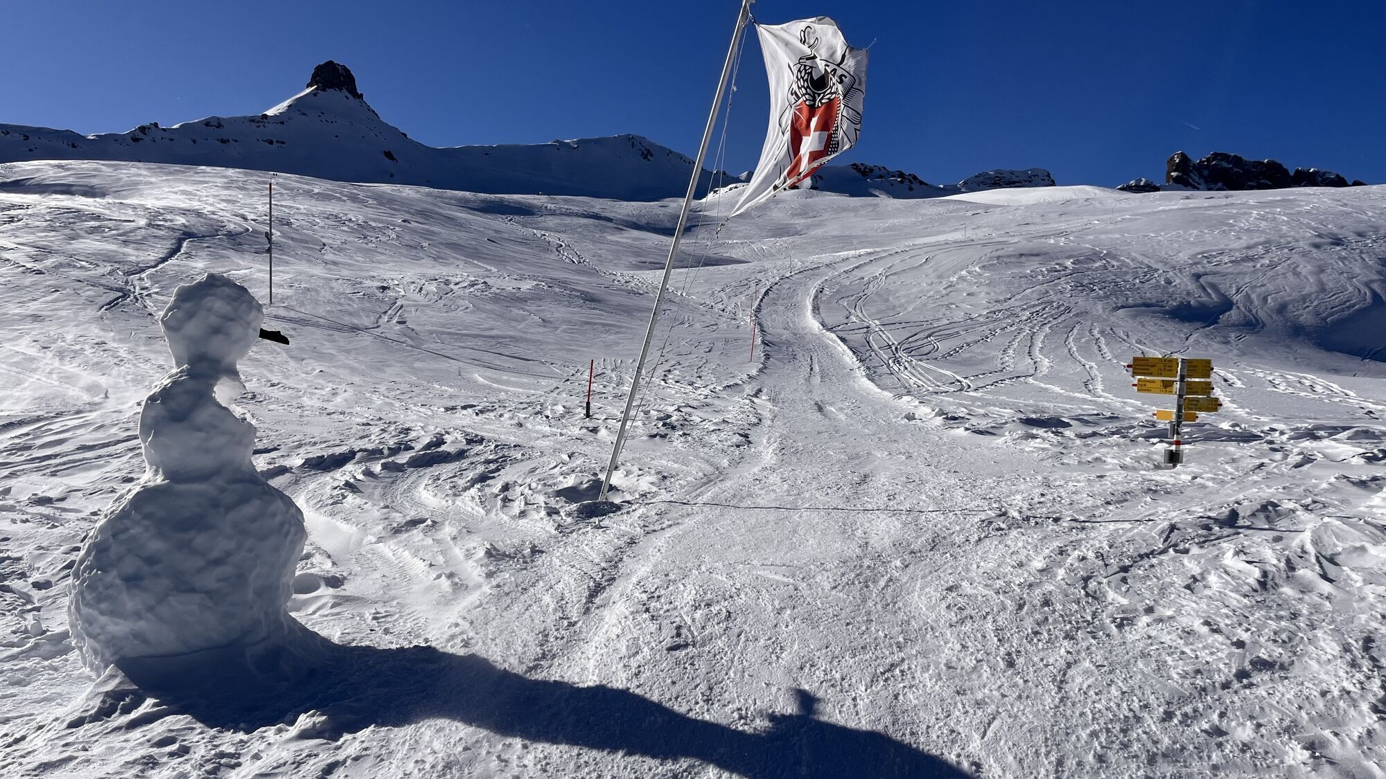
The route can also be done as a two-day pleasure hike - including an overnight stay in the SAC Spitzmeilen hut.

Oblíbené prohlídky v okolí
- 4.7
Walensee Riviera Weesen - Quinten
středníTuristika 10.2 km - 4.7
Riviera Lake Walen Walenstadt-Quinten
středníTuristika 10.4 km - 3.7
5-Seen-Wanderung - DER KLASSIKER
heavyTuristika 9.70 km - 4.7
Alvier
středníTuristika 3.33 km - 4.6
4-Summit-Route Flumserberg
středníTuristika 8.65 km - 5.0
Schrina Alp and Cultural Trail
středníTematická stezka 11.5 km - 3.2
Route of amazement Flumserberg
světloTuristika 8.03 km - 3.7
Winter hike on the Rosenboden panoramic circular route
světloZimní turistika 2.95 km - 4.7
Mädems Trail
středníSněžnice 7.48 km - 3.3
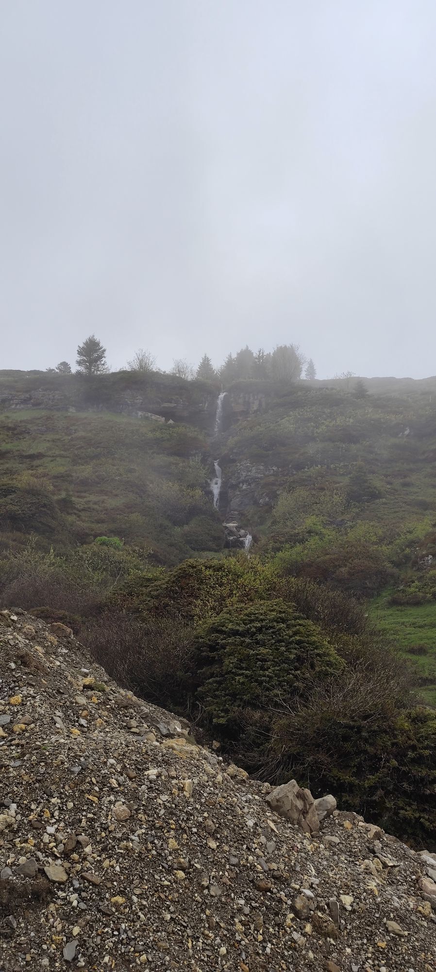
Seerenbach waterfalls
světloTuristika 4.38 km

Pěší turistika a stopování


Nenechte si ujít nabídky a inspiraci pro vaši příští dovolenou
Vaše e-mailová adresa byl přidán do poštovního seznamu.