







Off to the Falknis

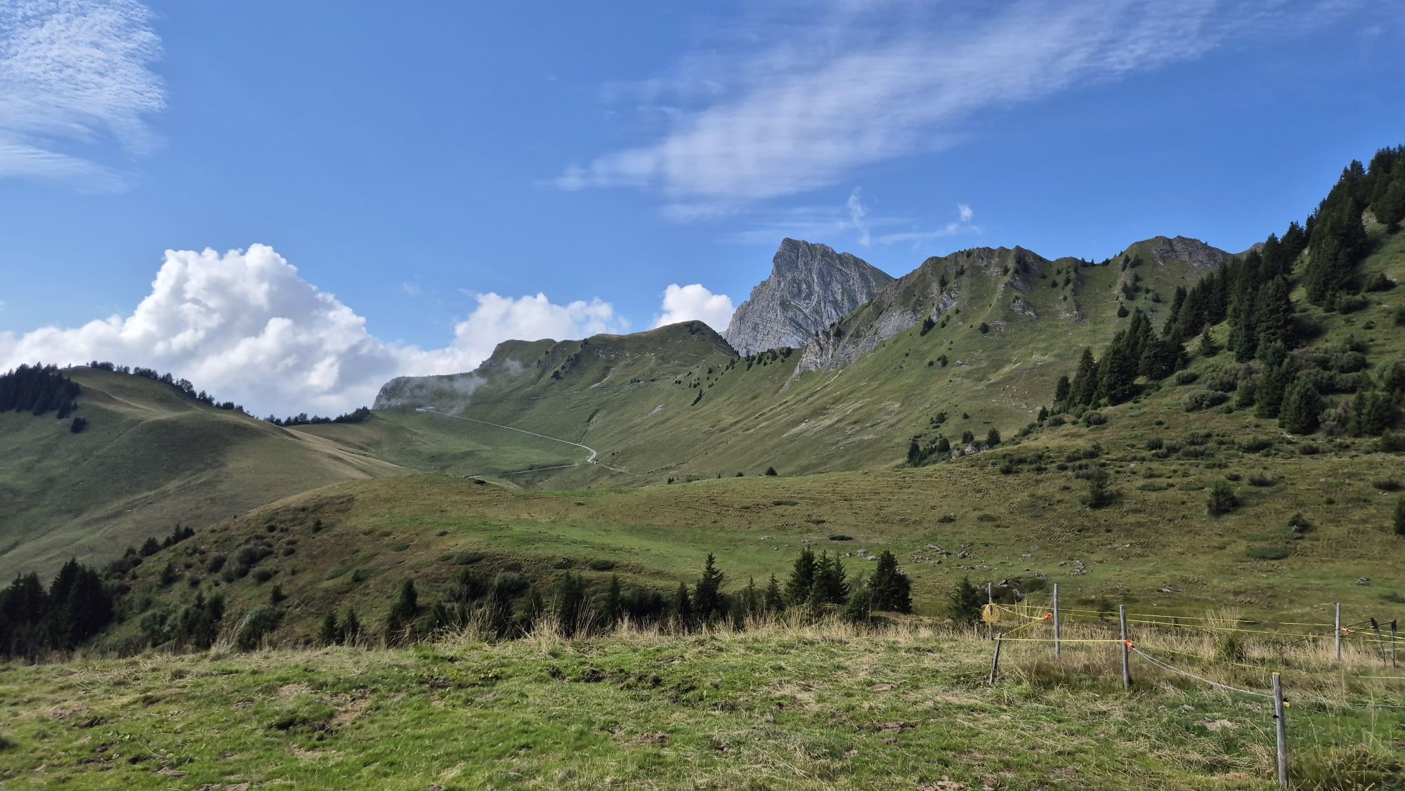
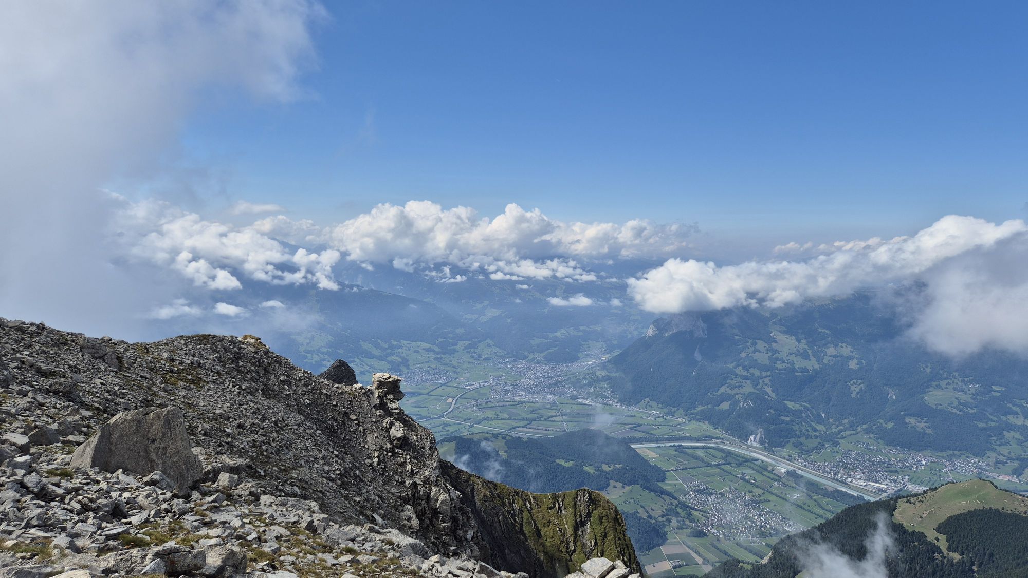
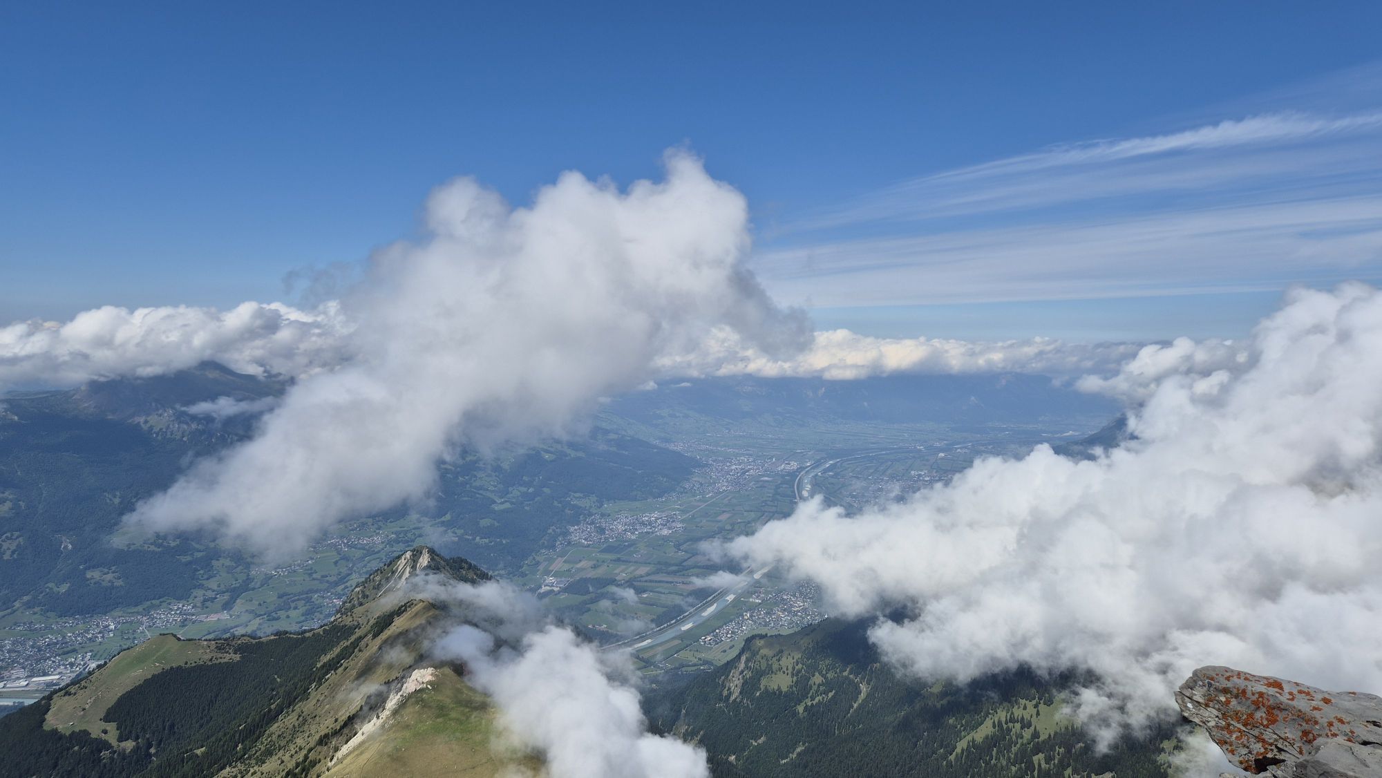
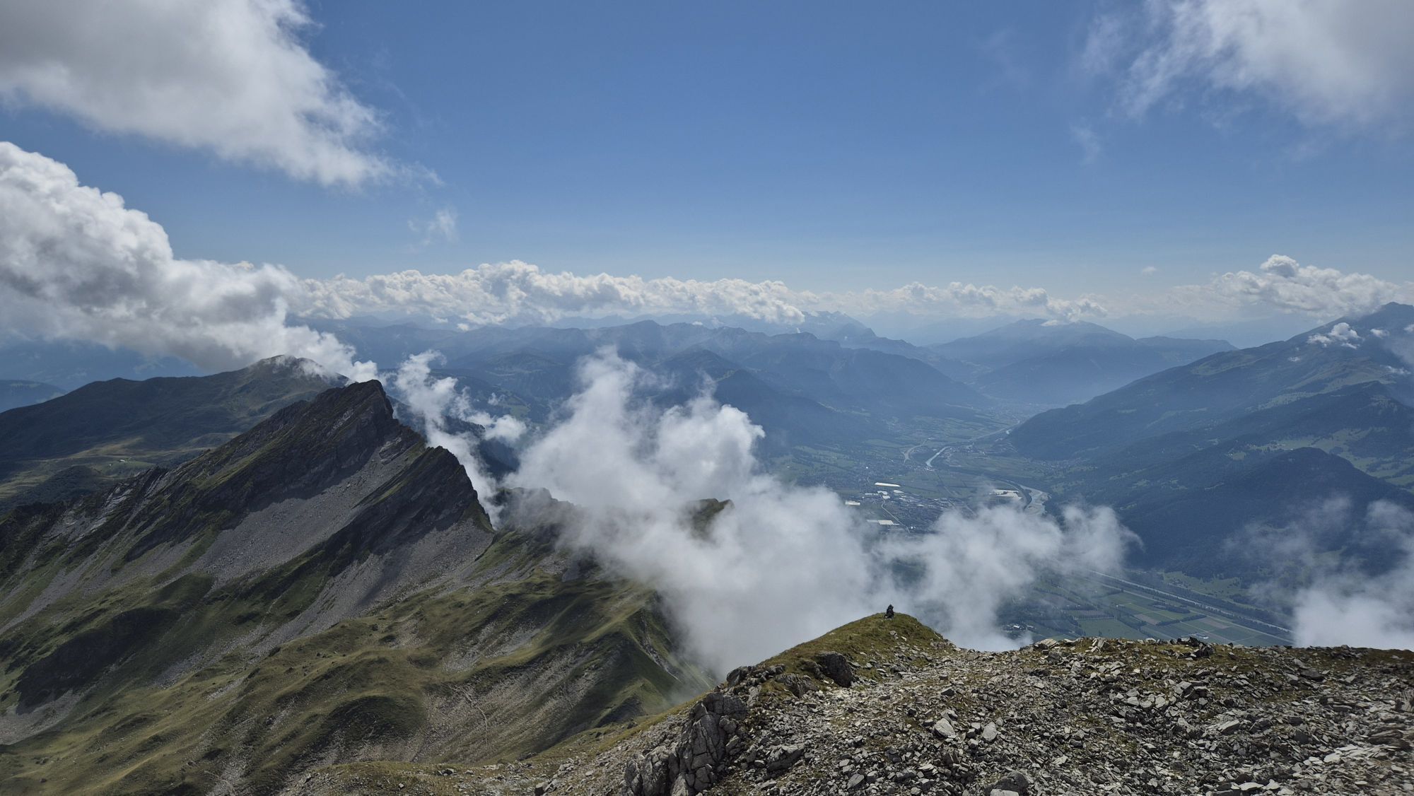
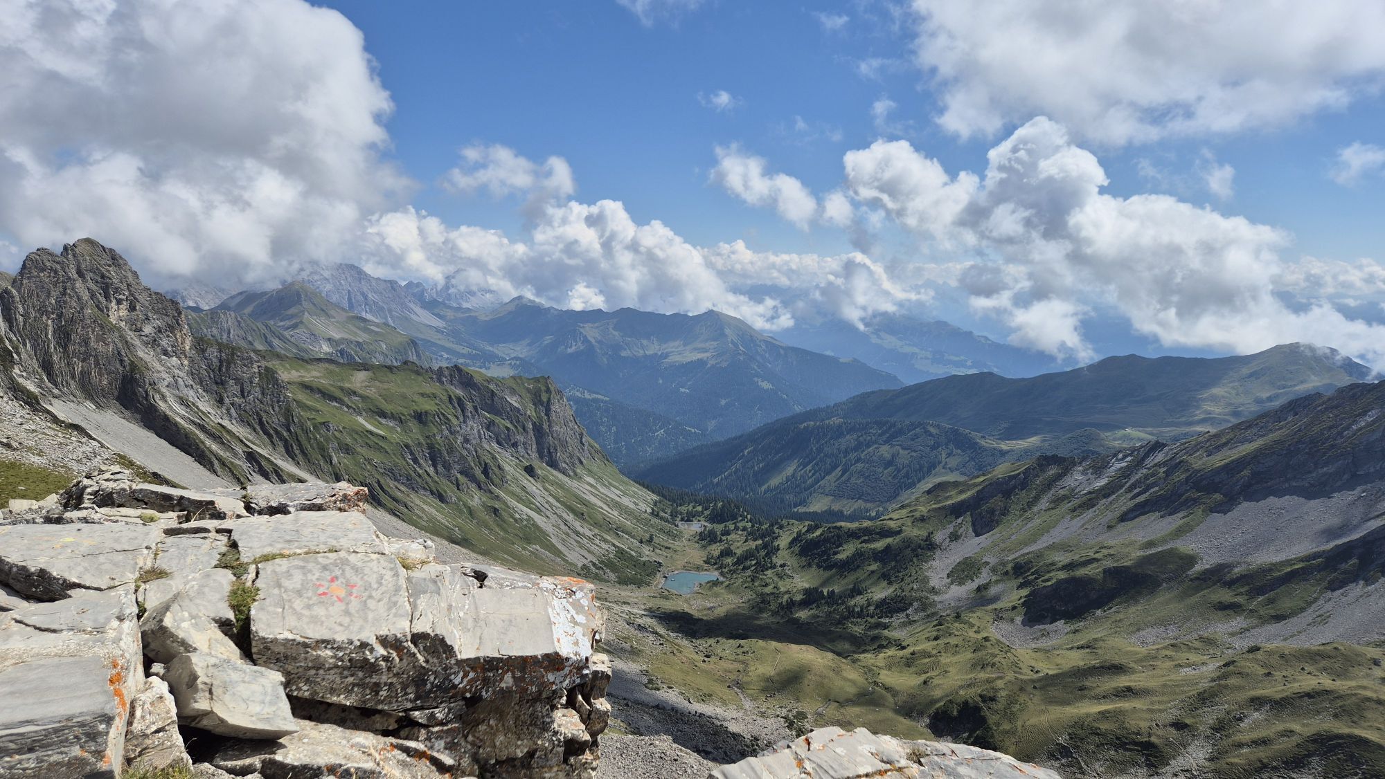
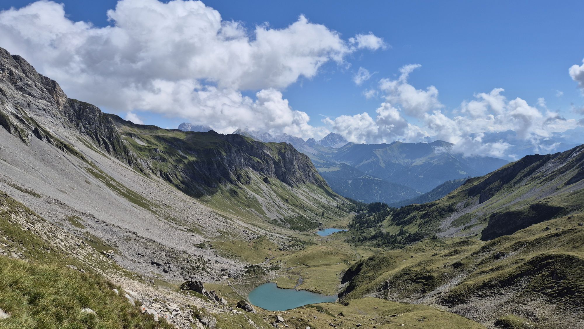
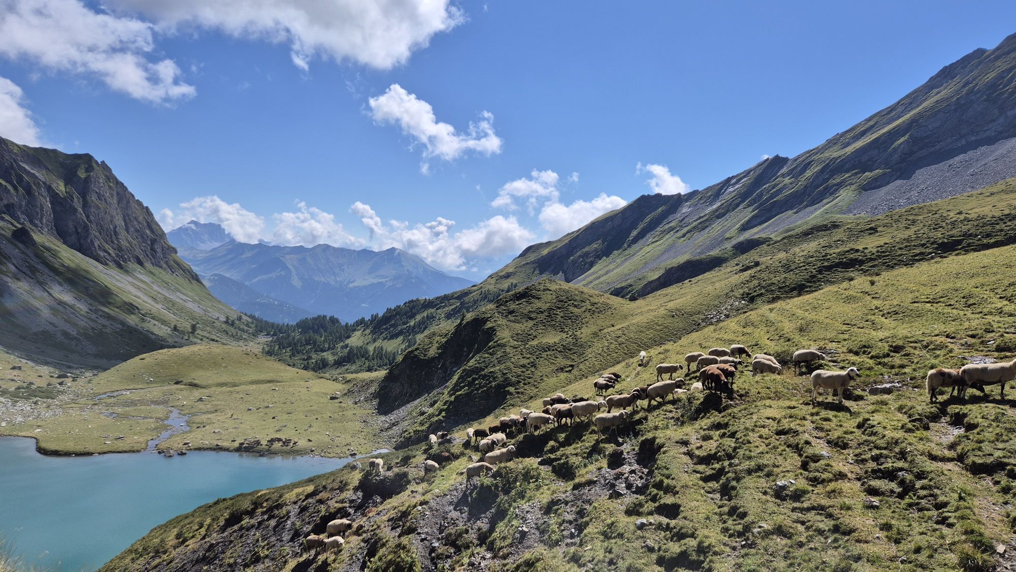
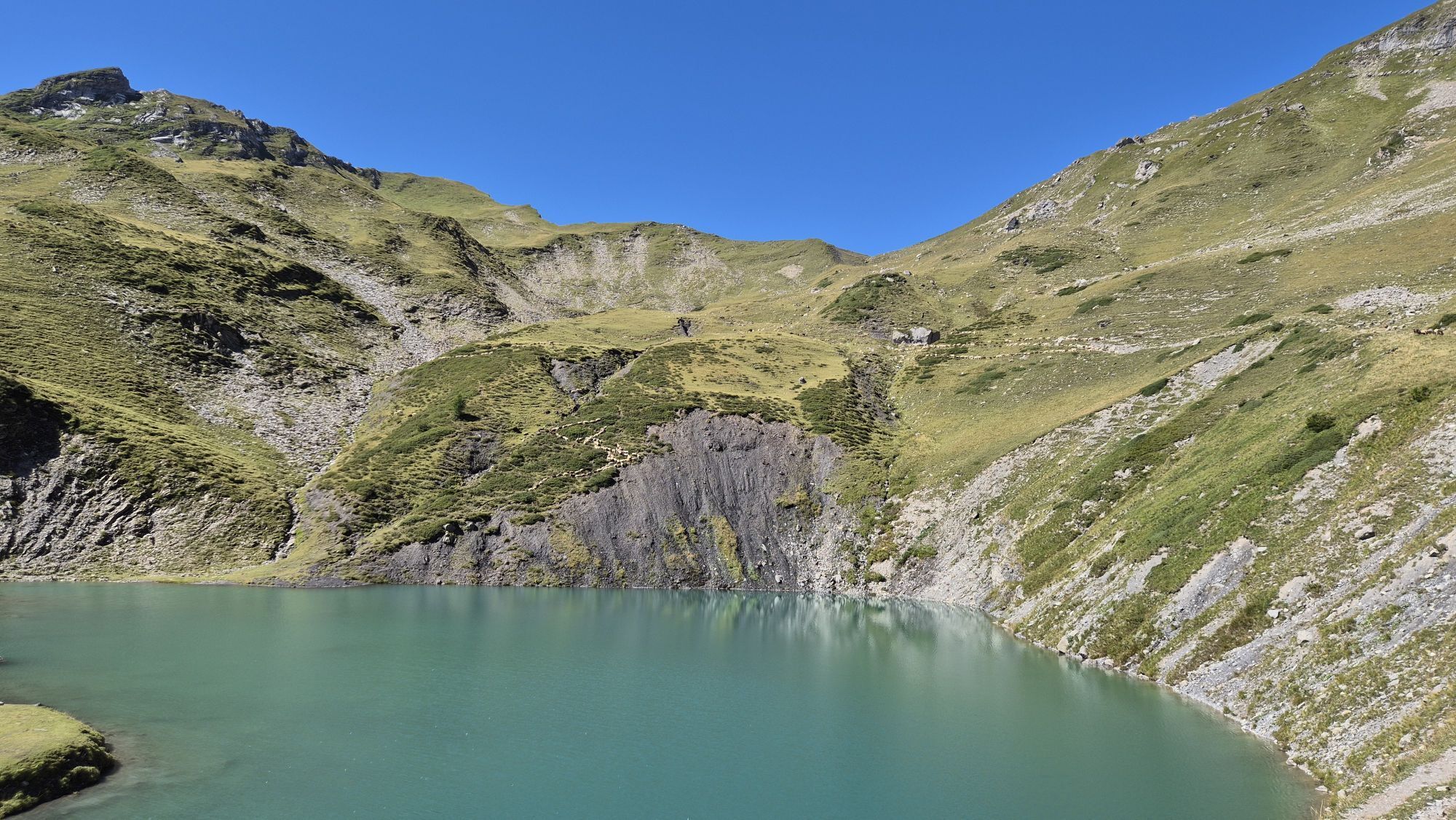
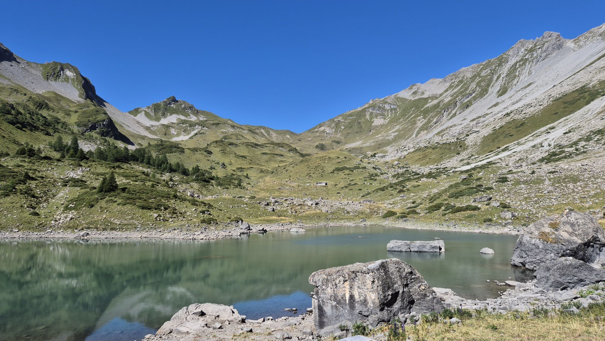
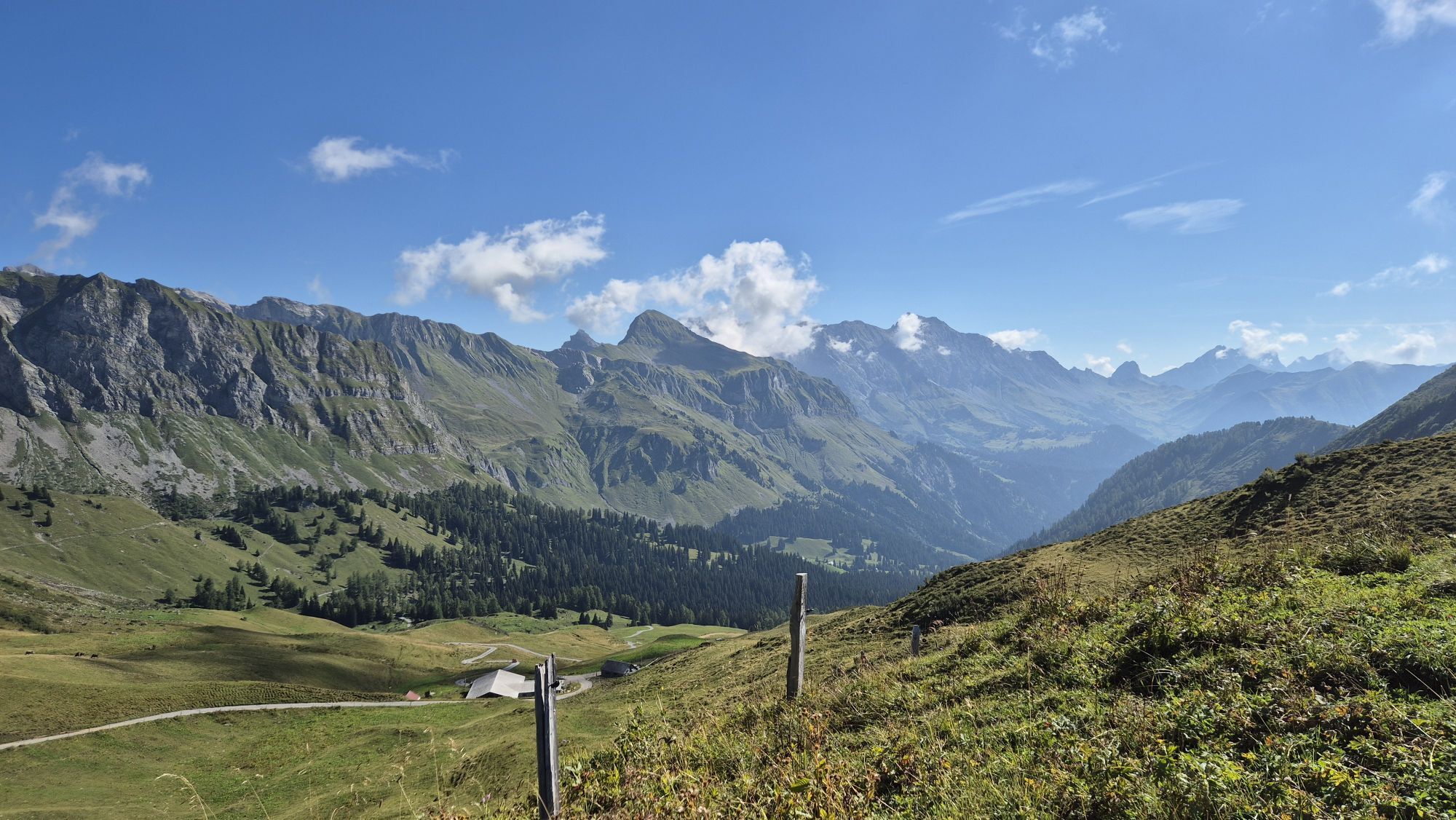
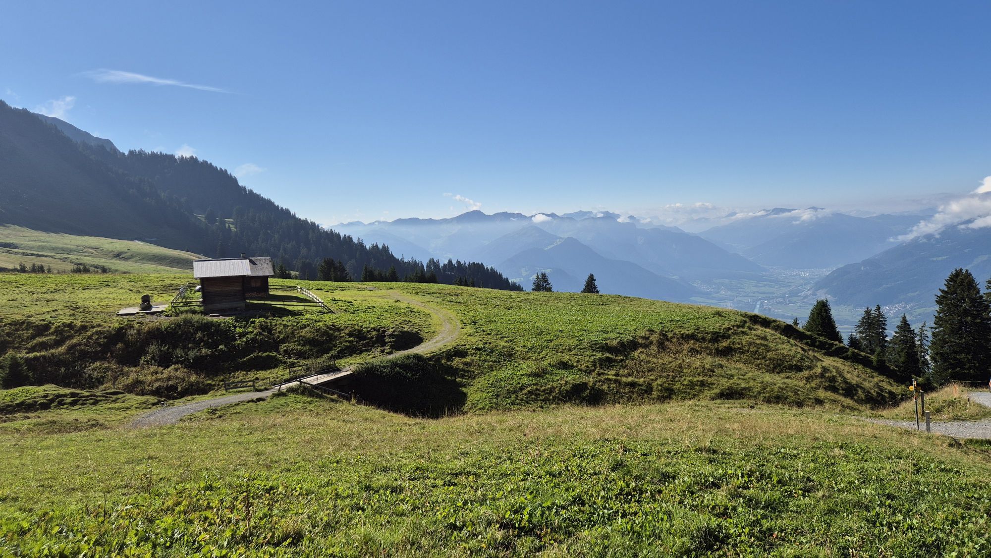
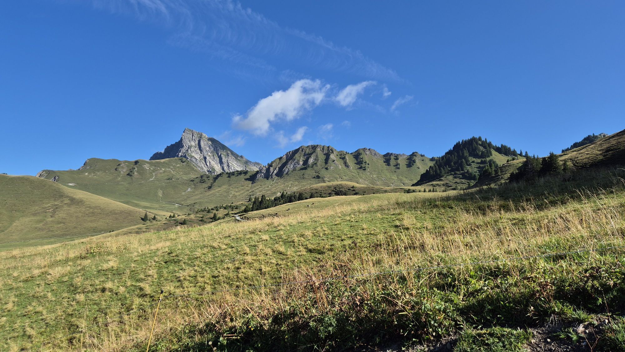
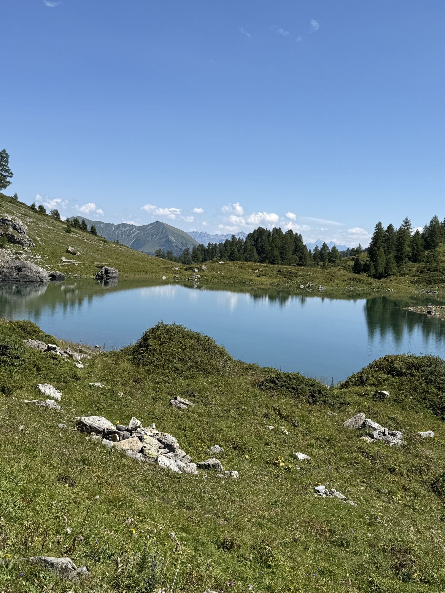
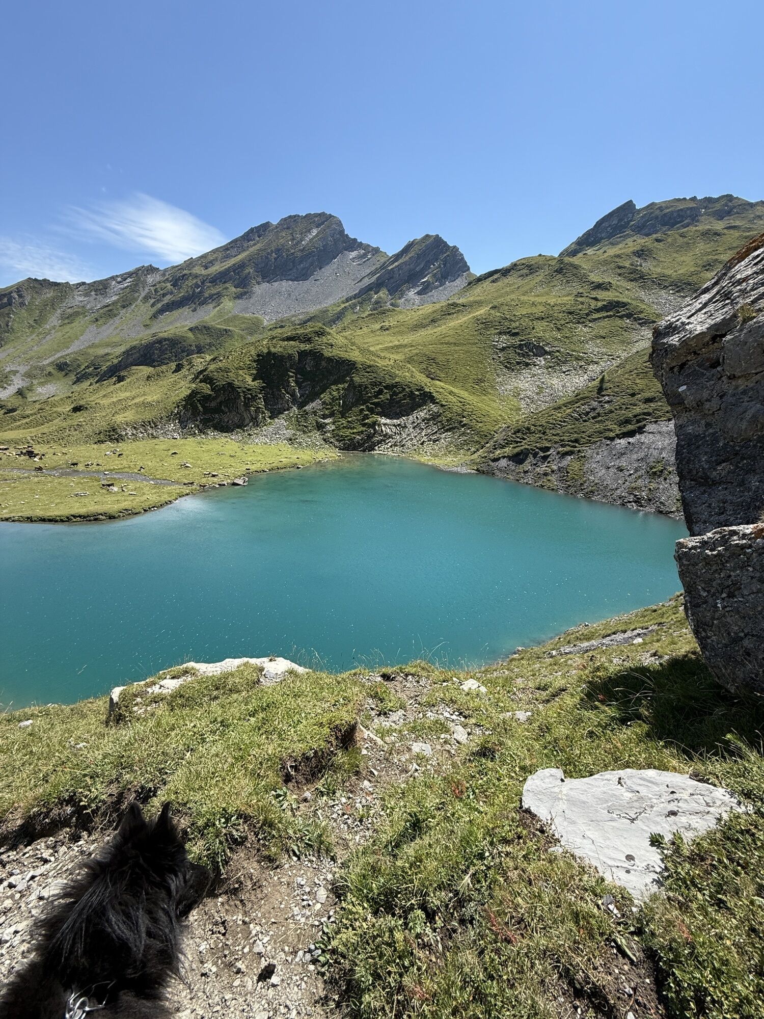
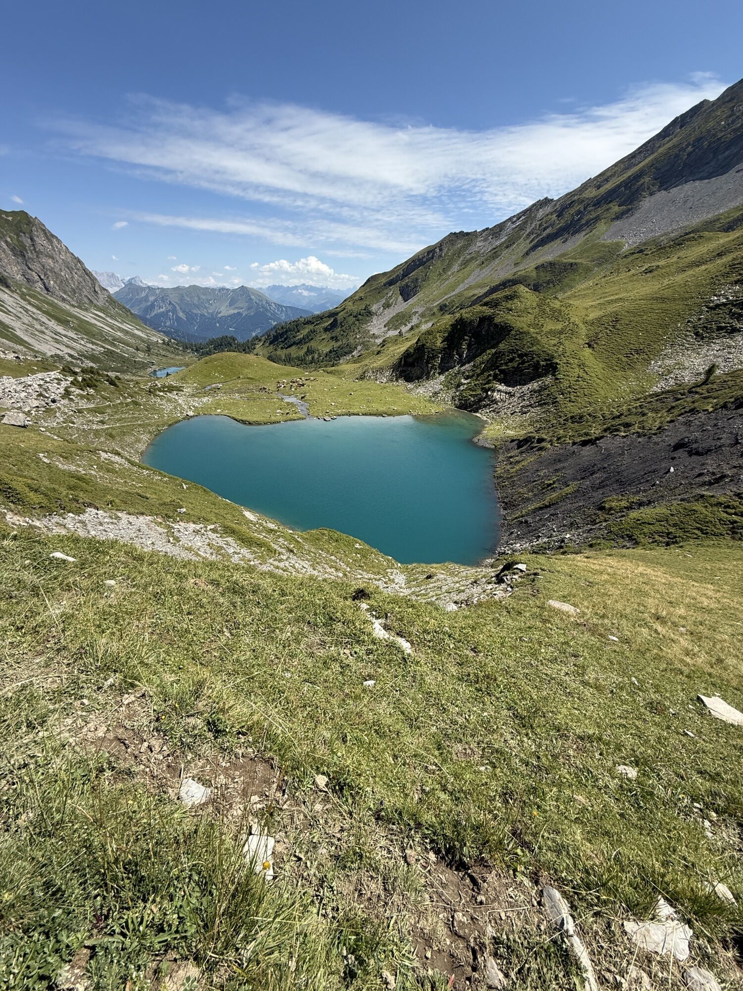
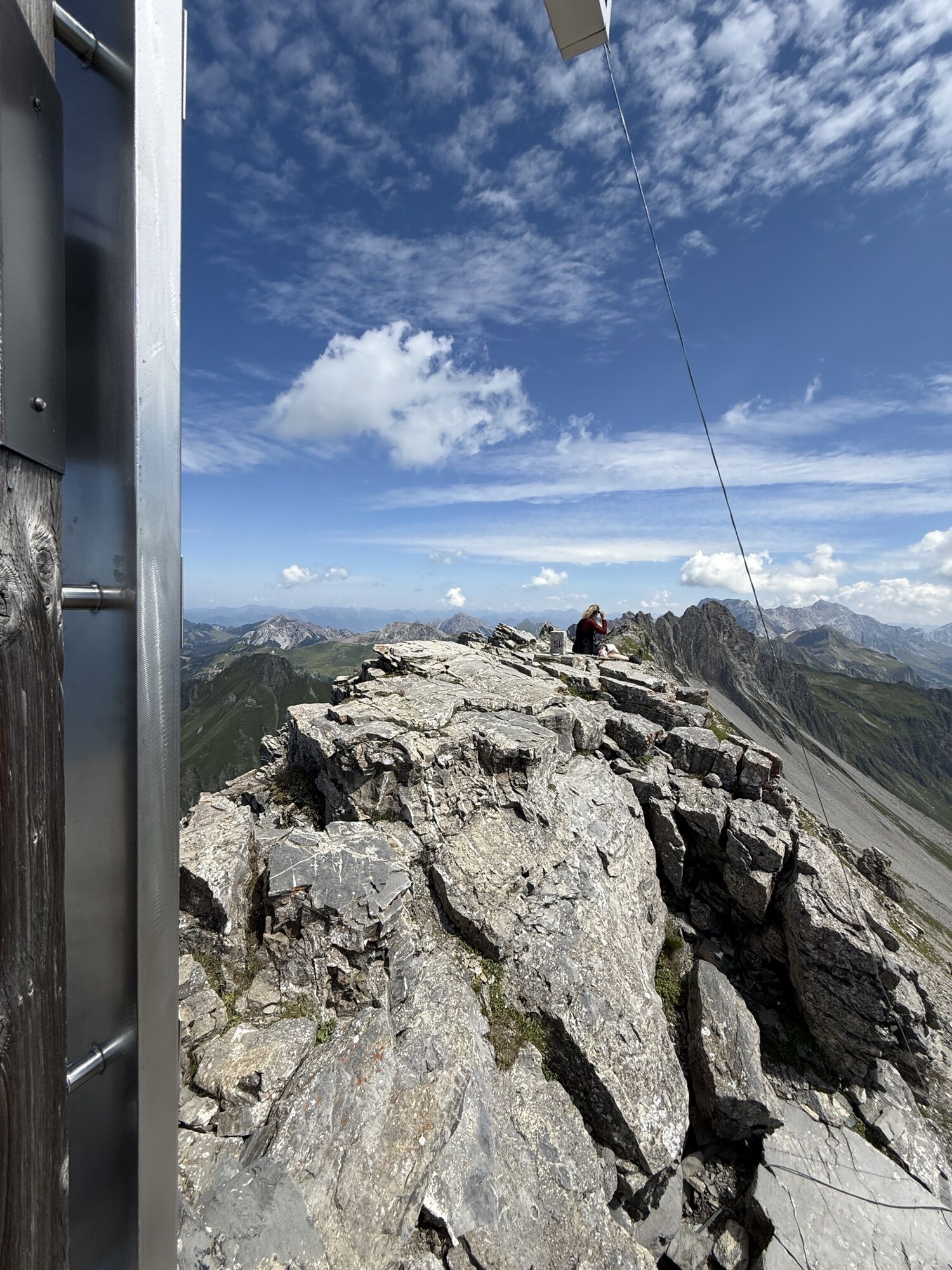
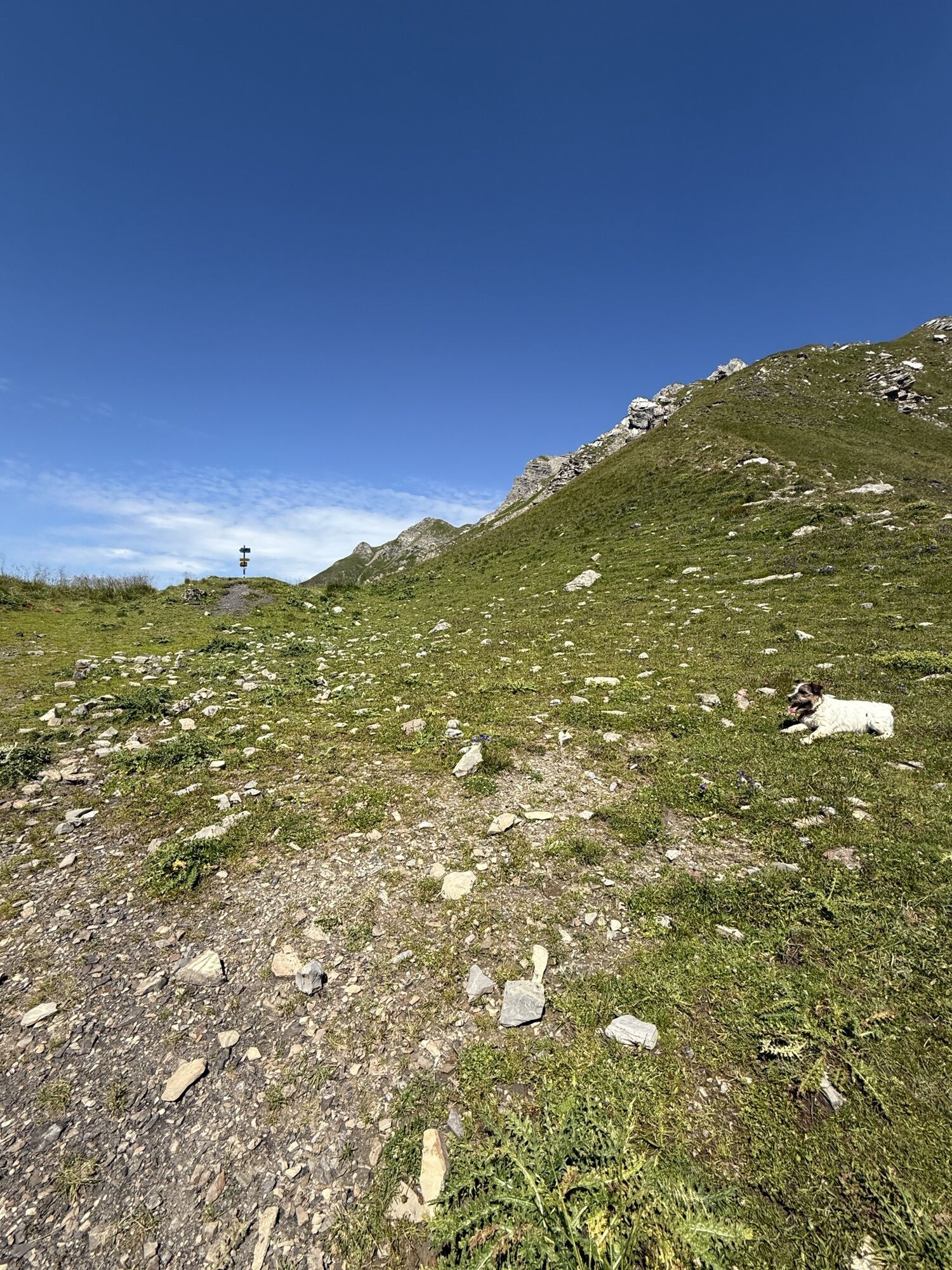
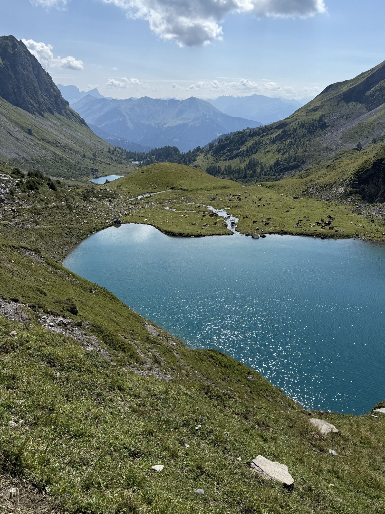
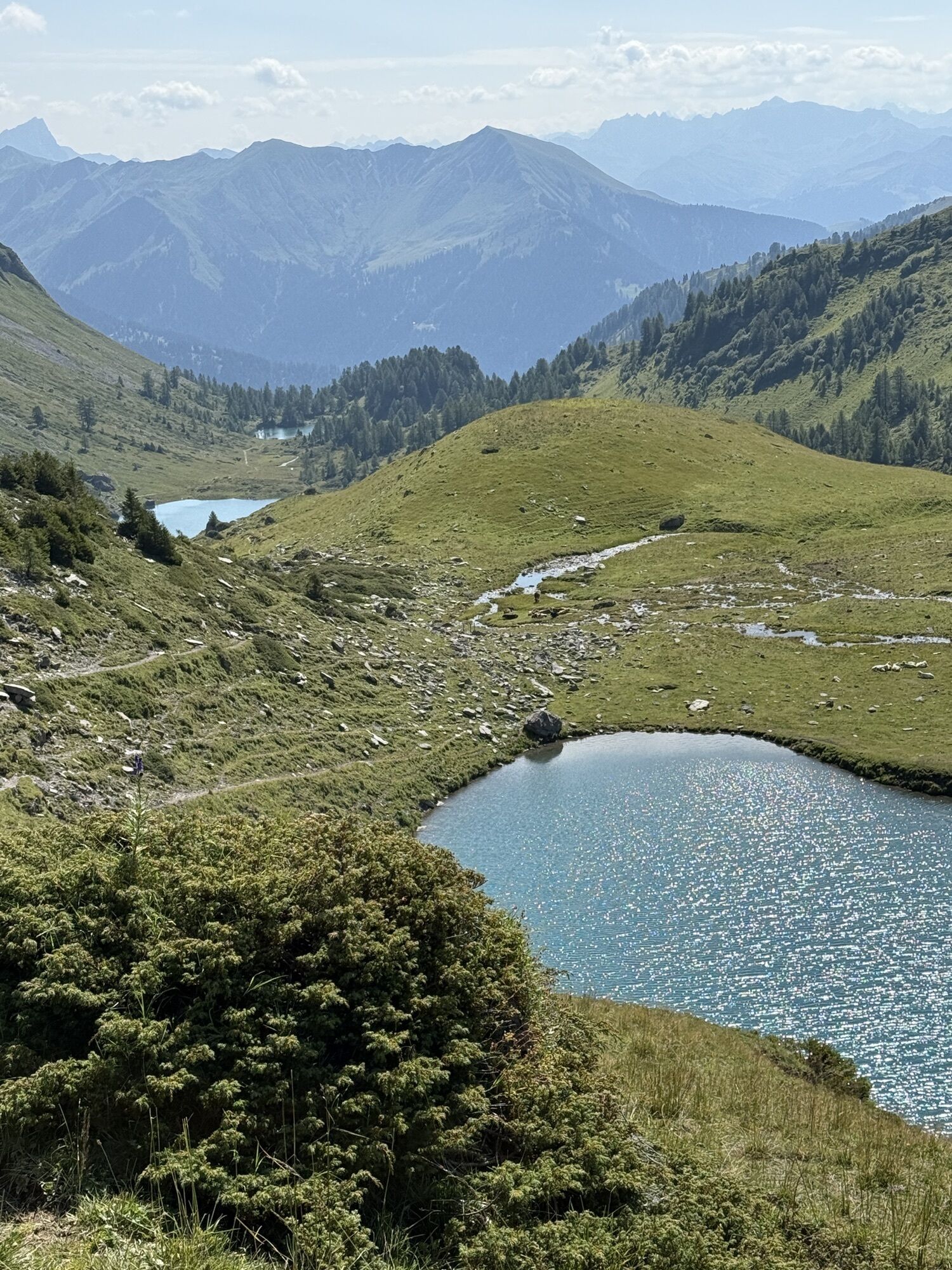
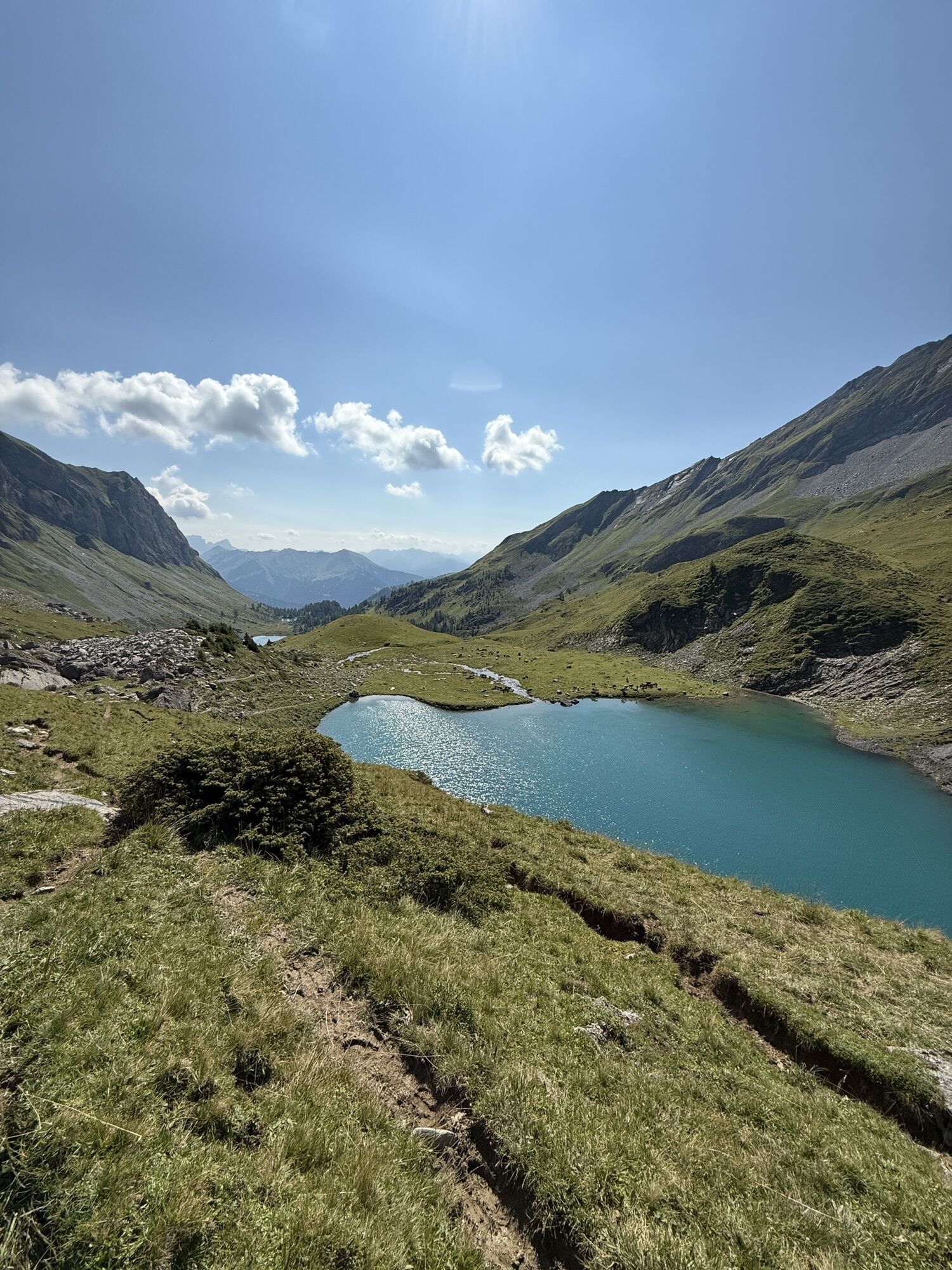
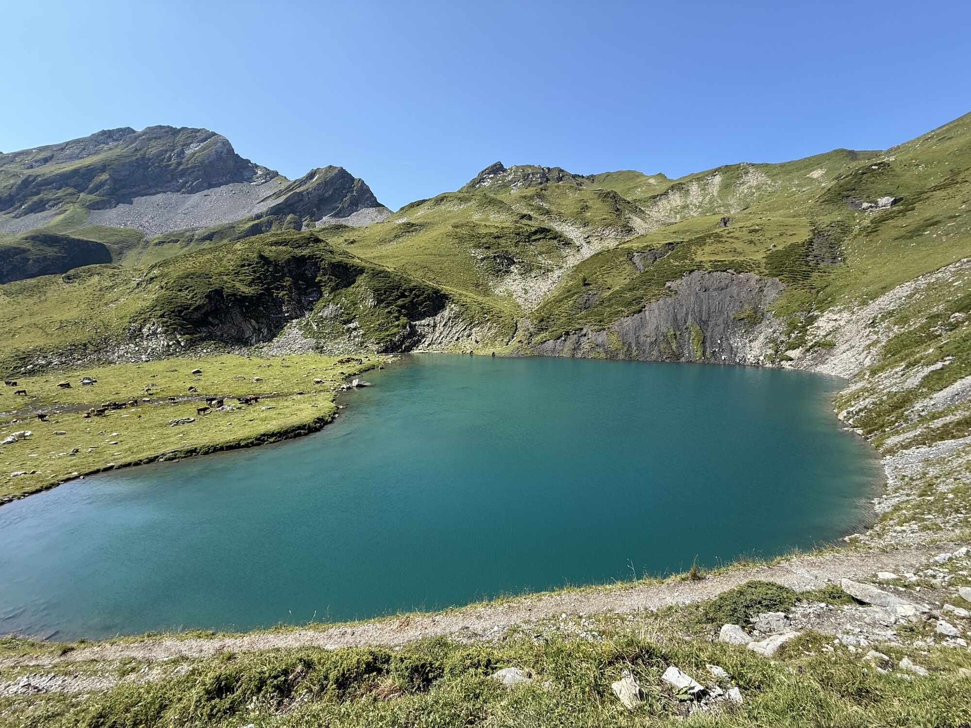
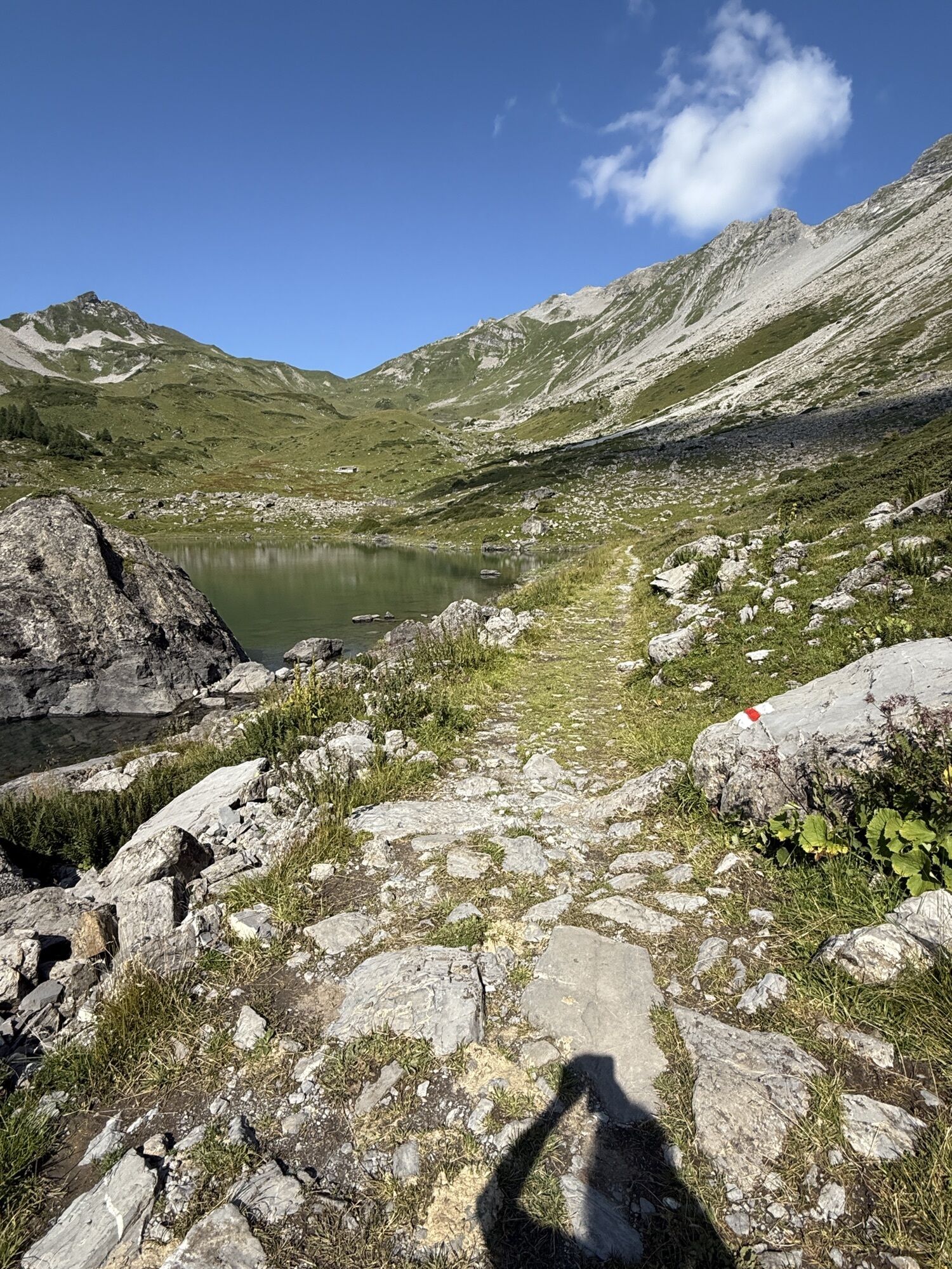
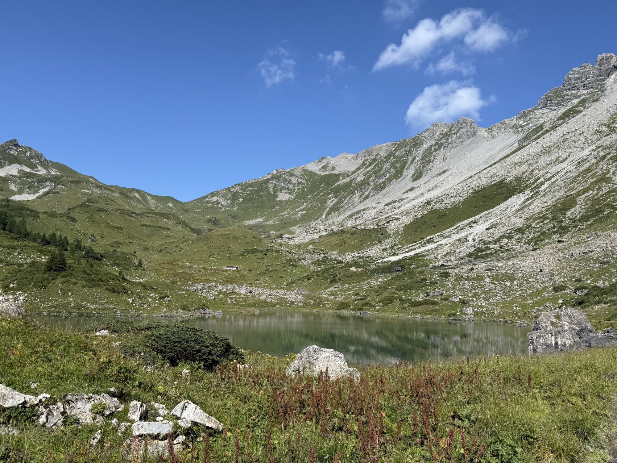
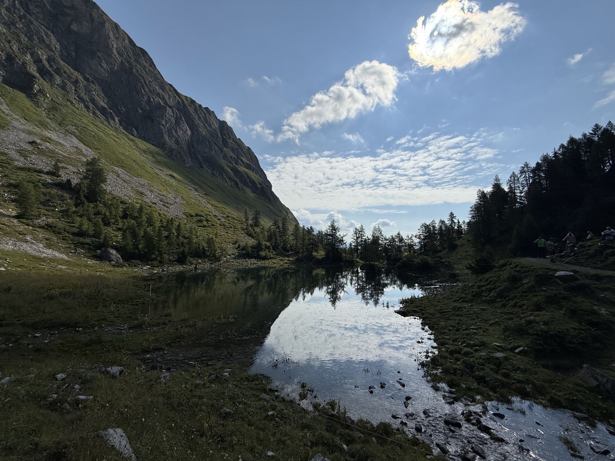
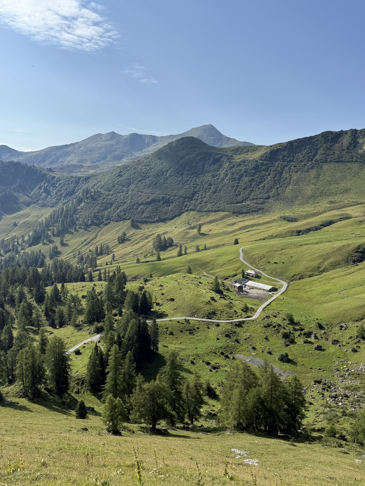
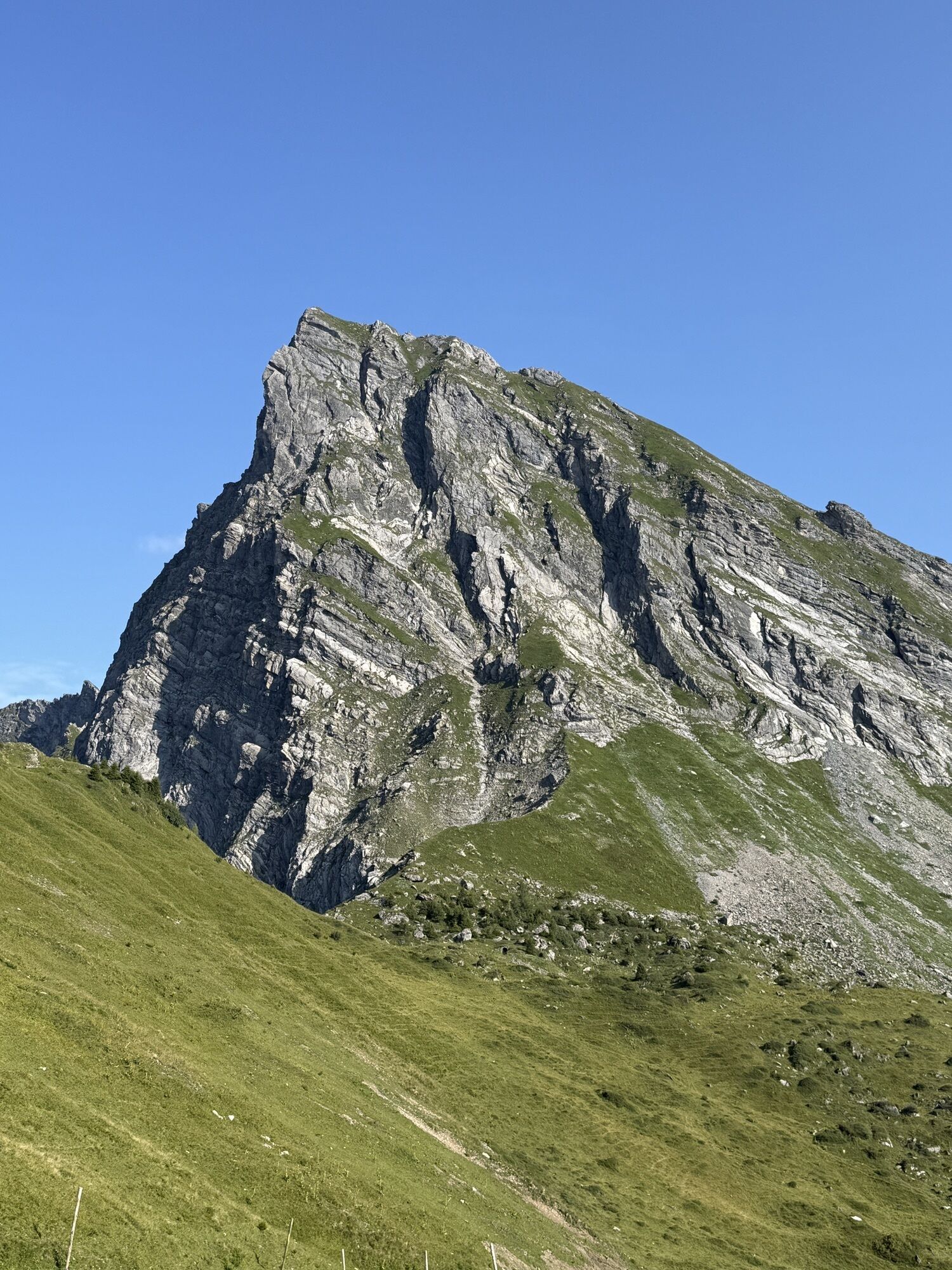
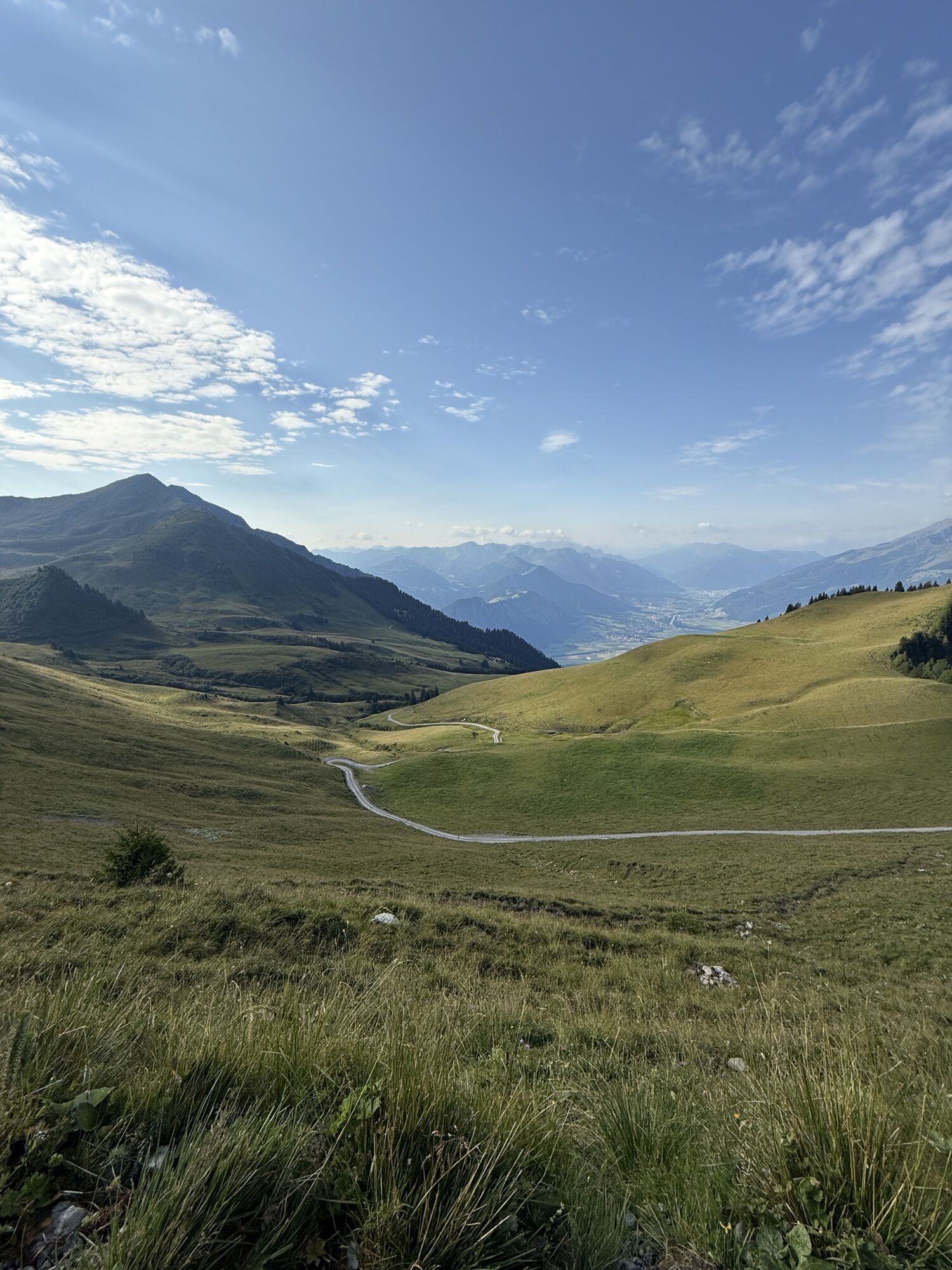
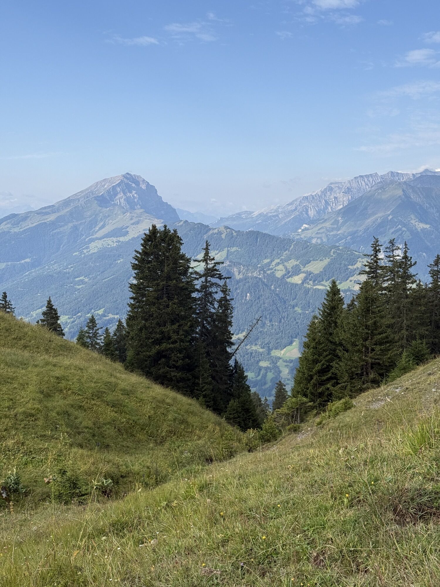
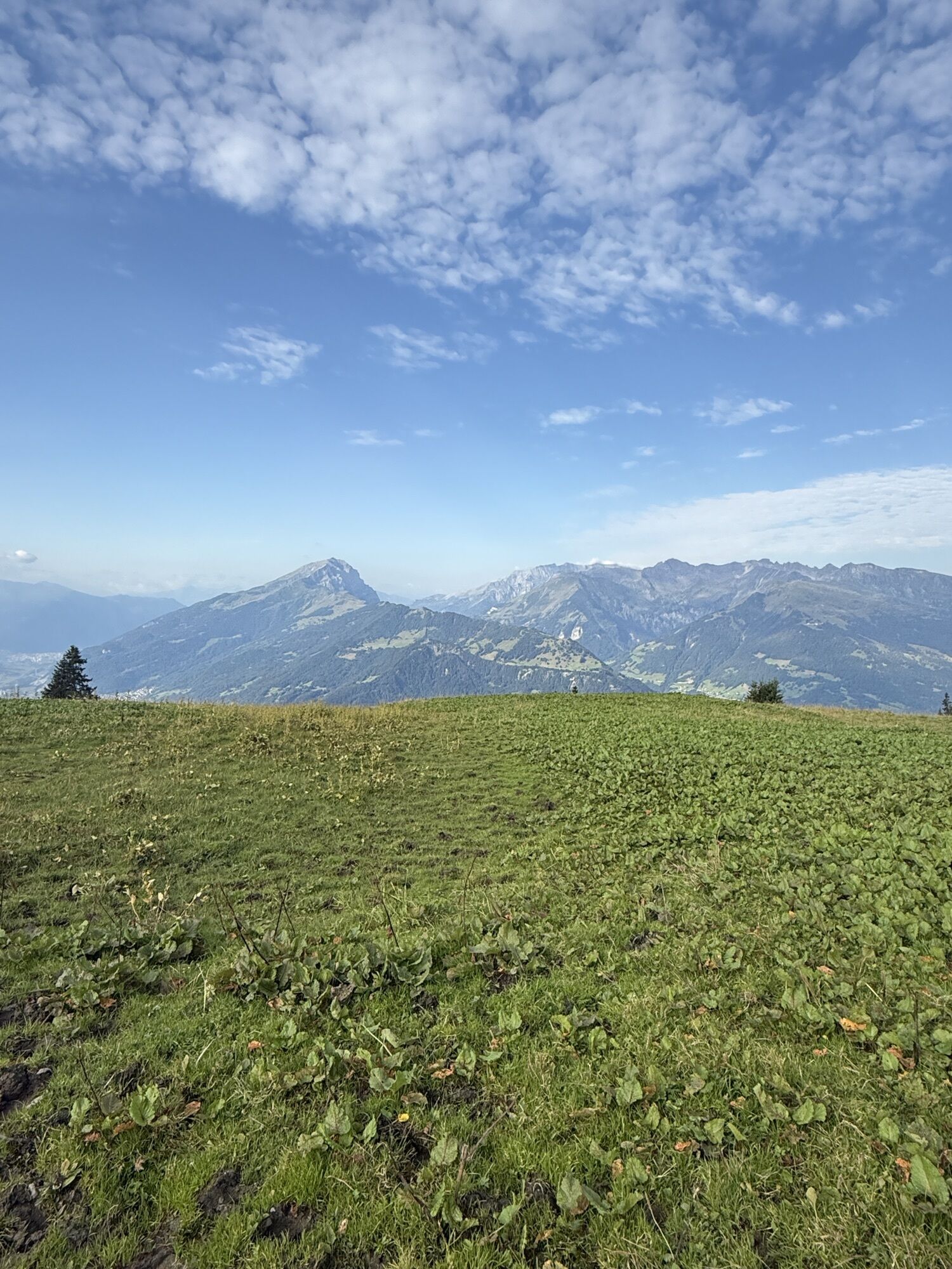
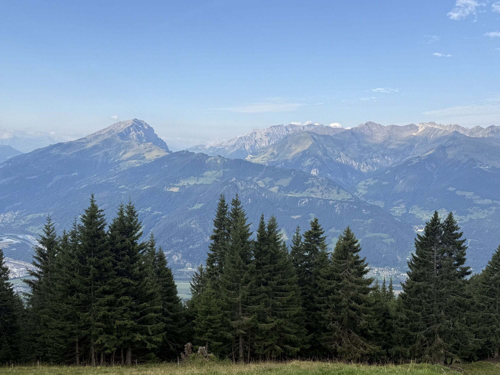
A great and challenging mountain hike that requires good fitness. The first part of the path is identical to the hike to the Fläsch lakes. From the uppermost lake, it becomes quite steep. A beautiful view...
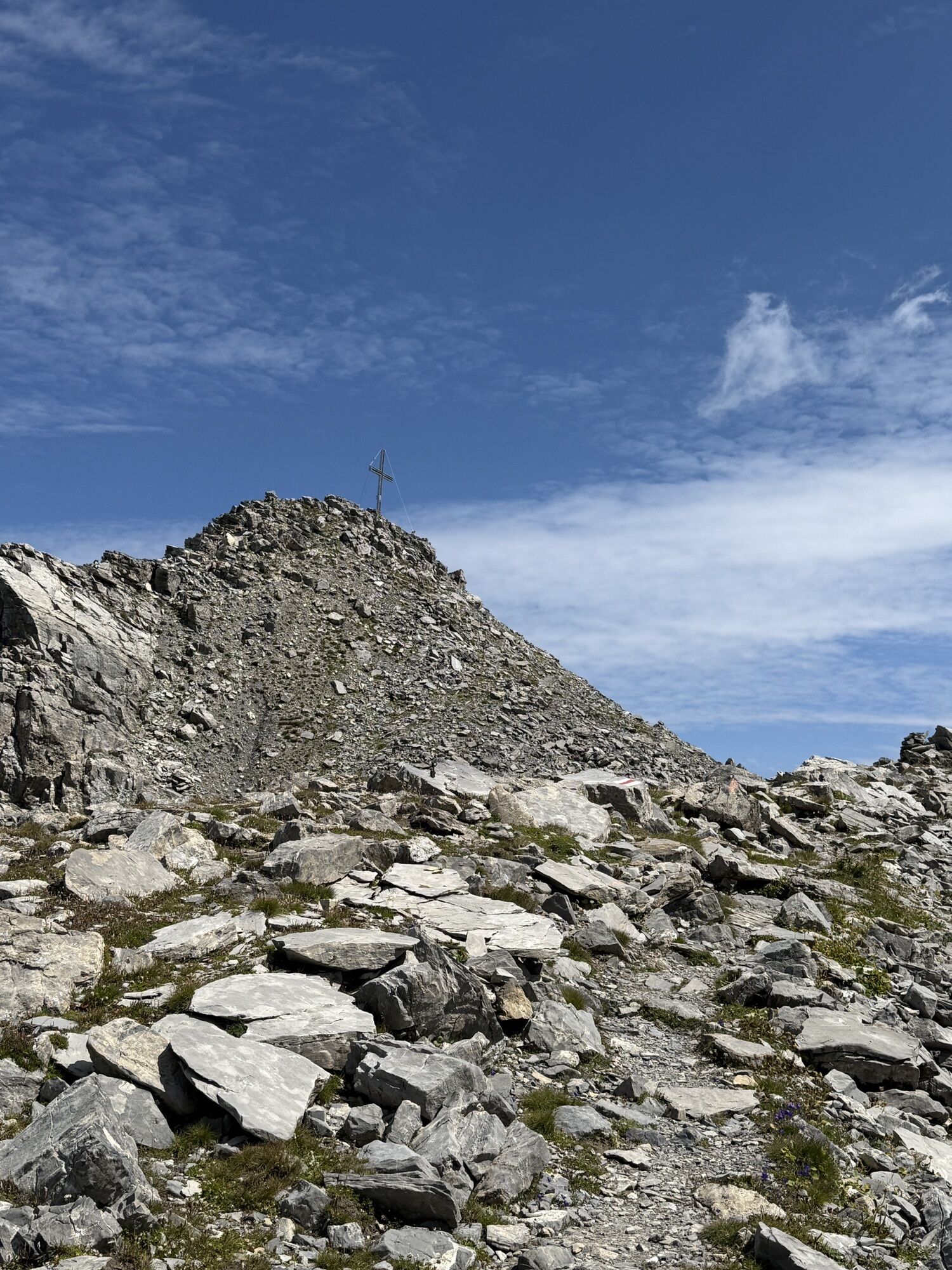
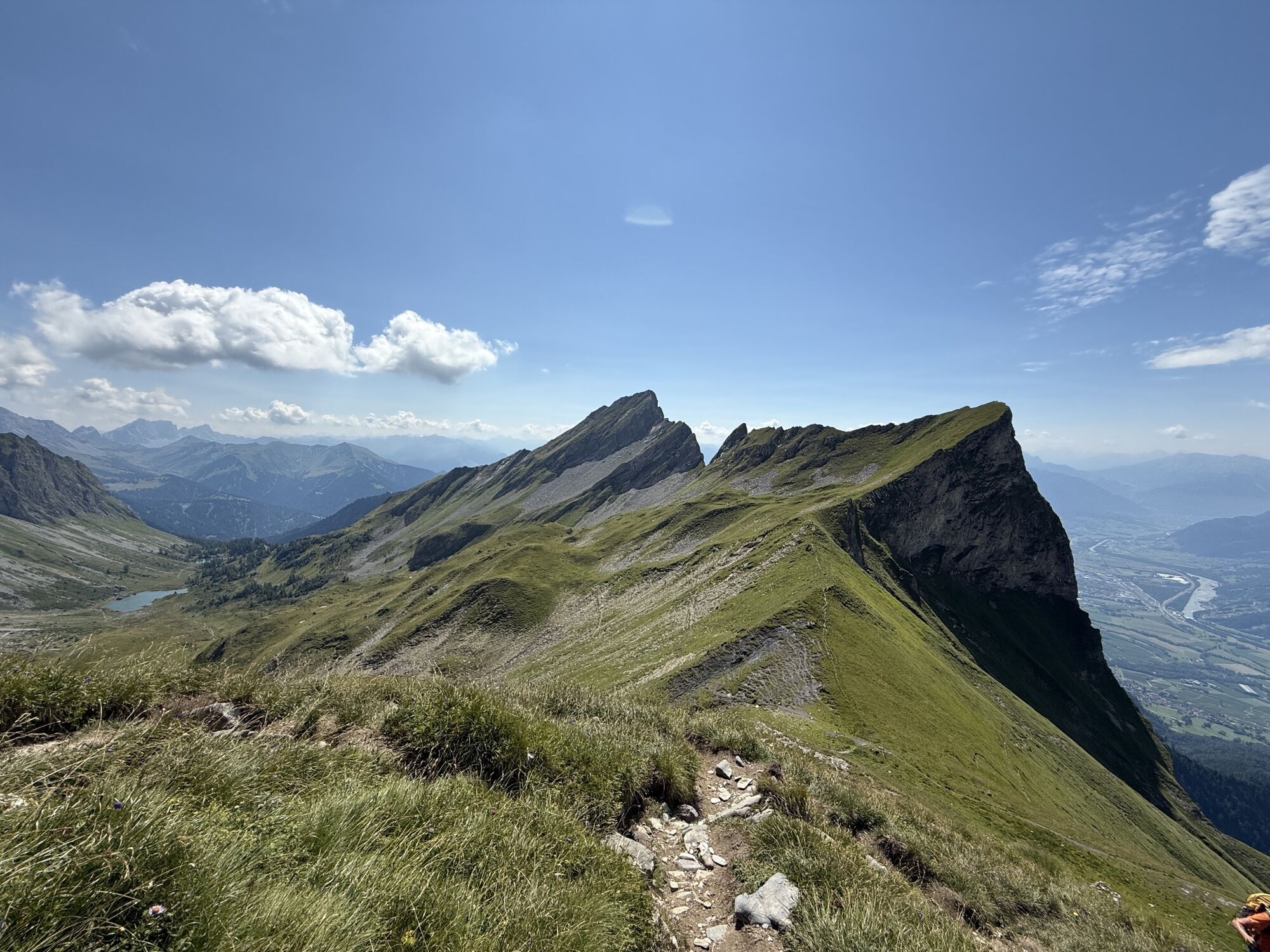
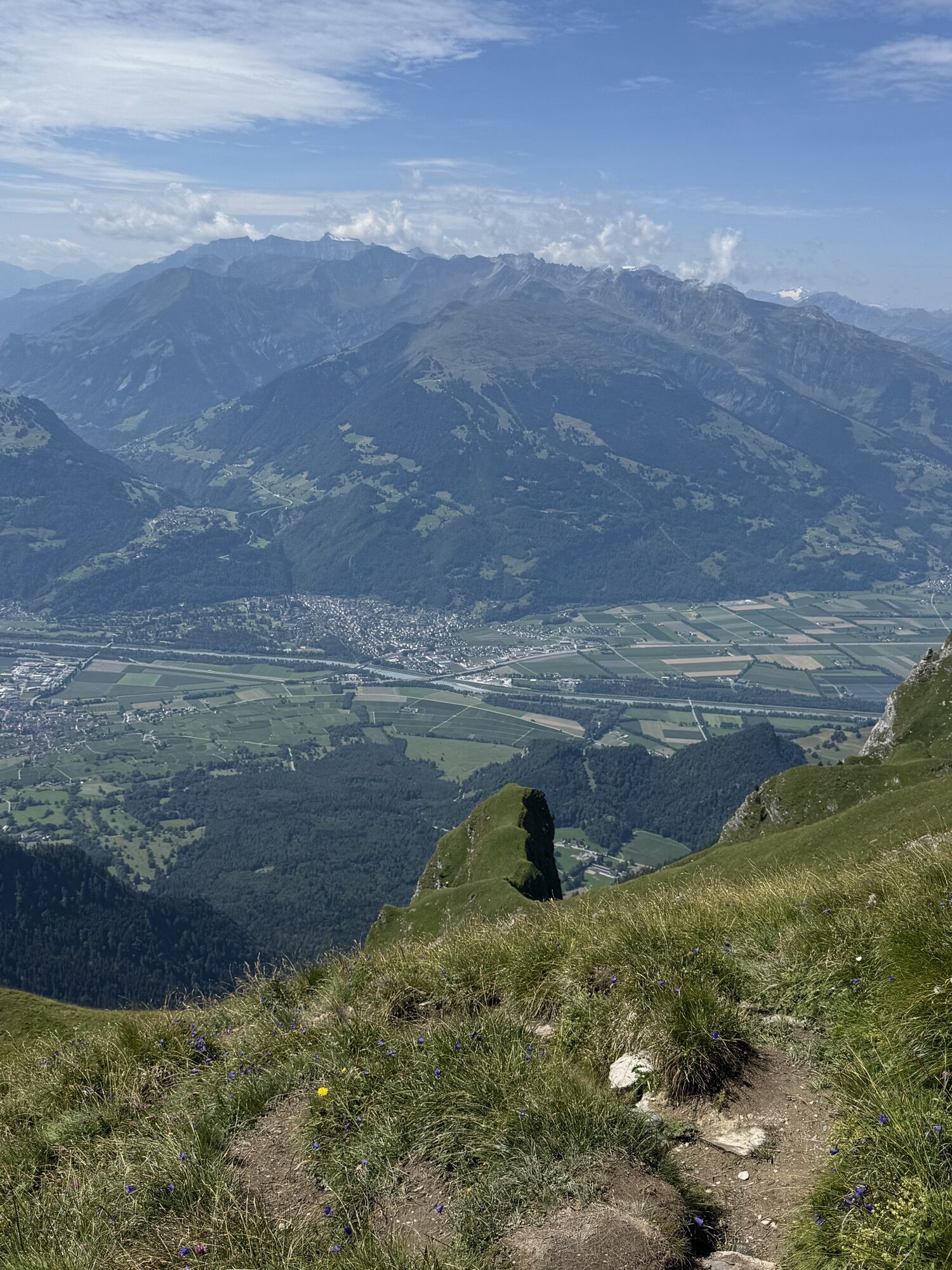
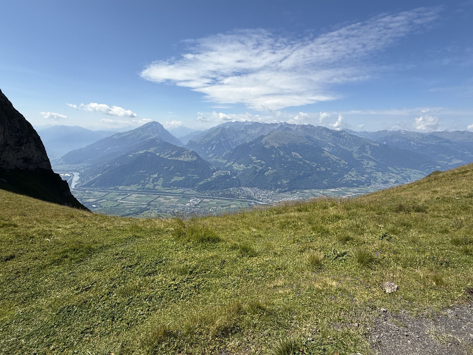
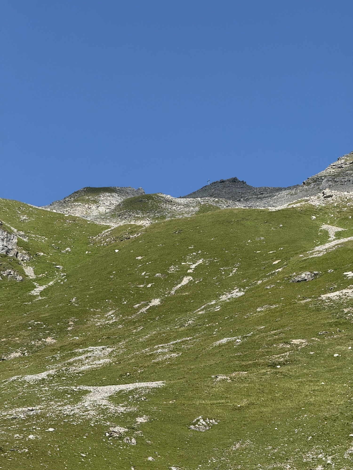
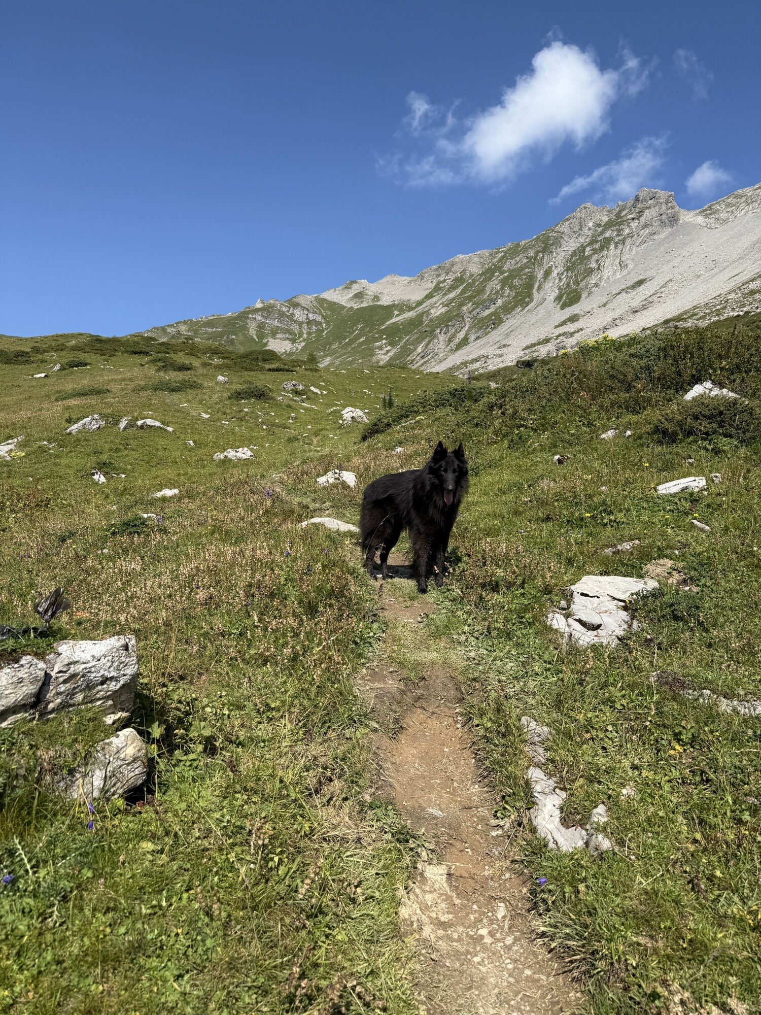
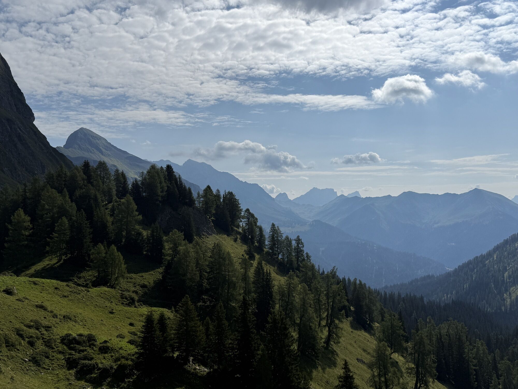
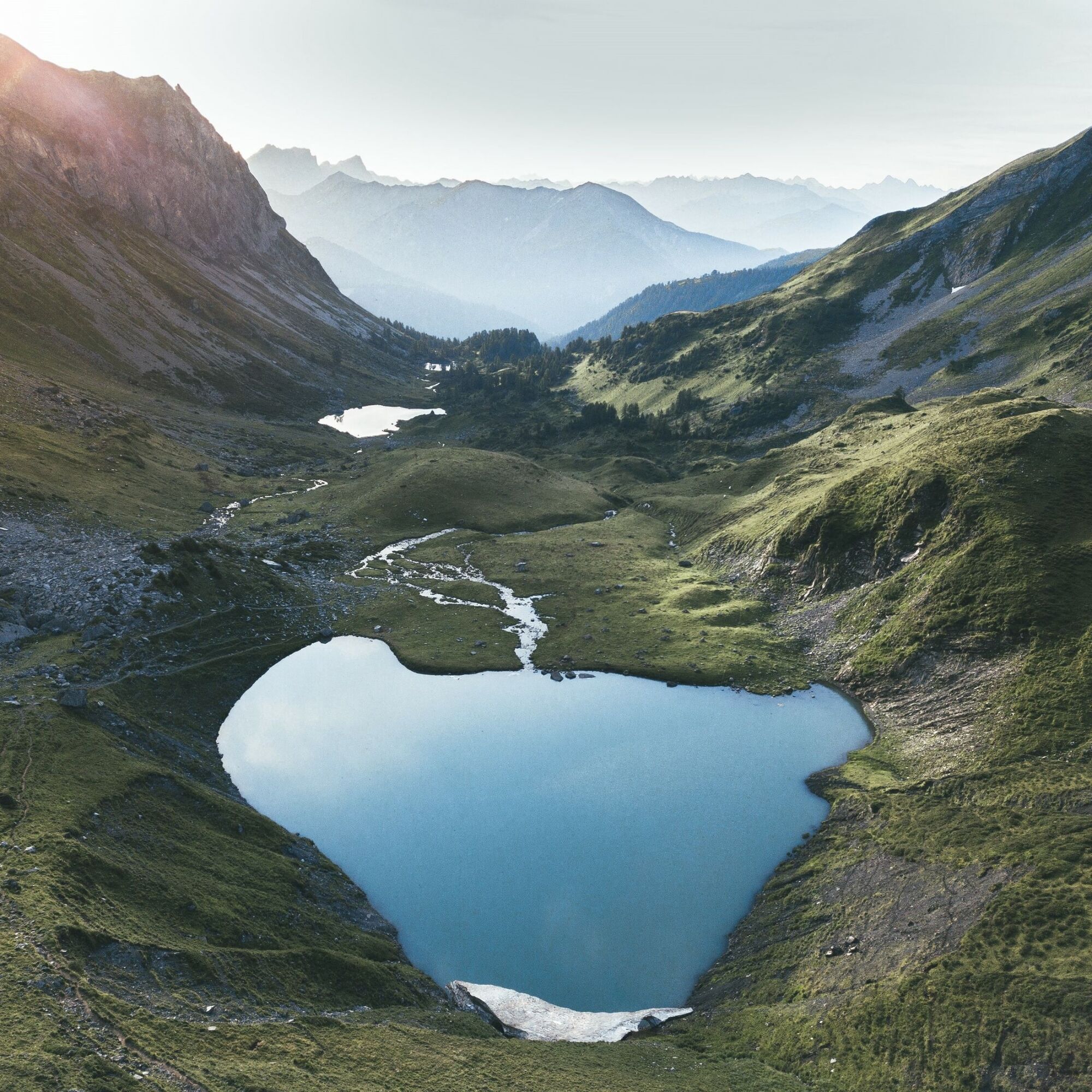
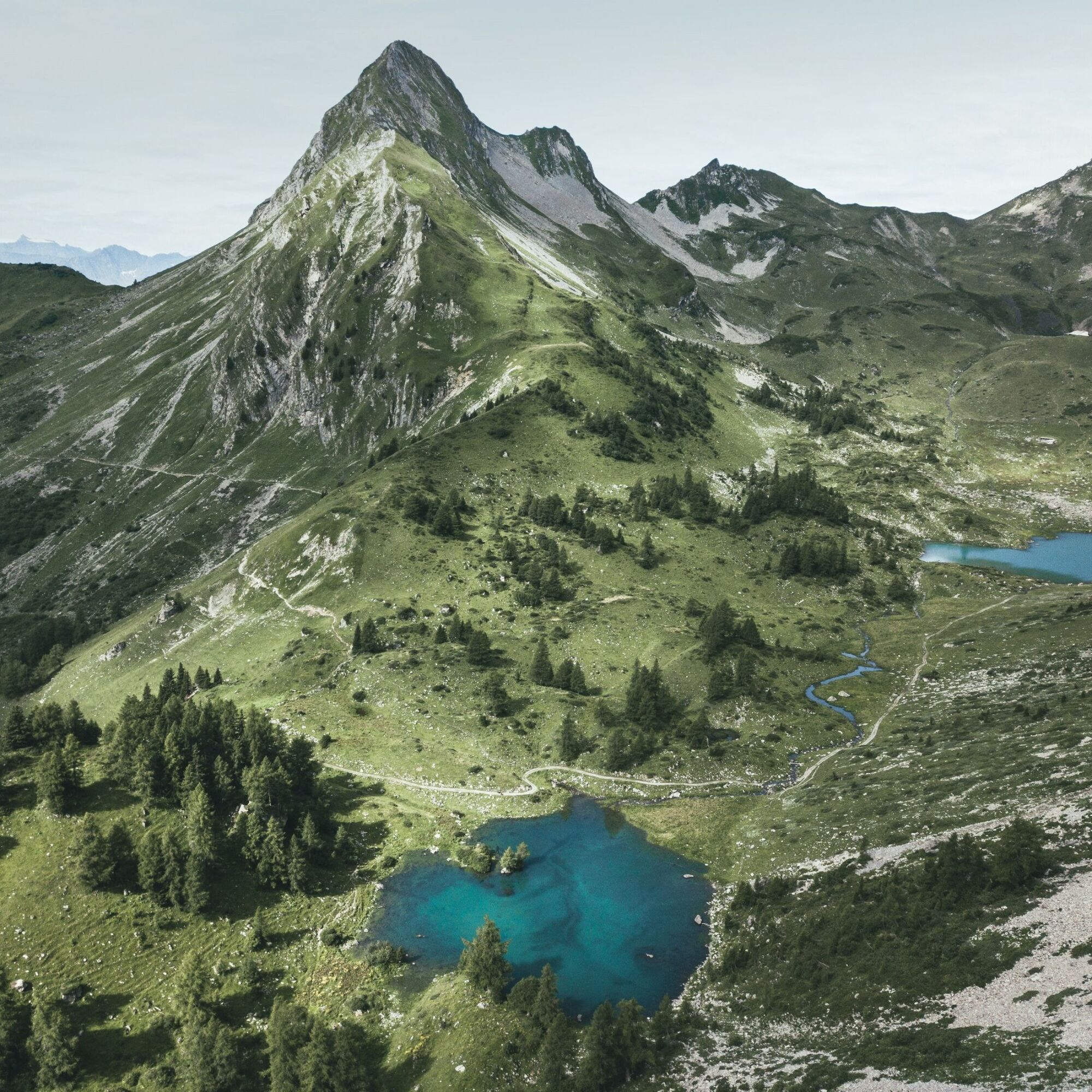
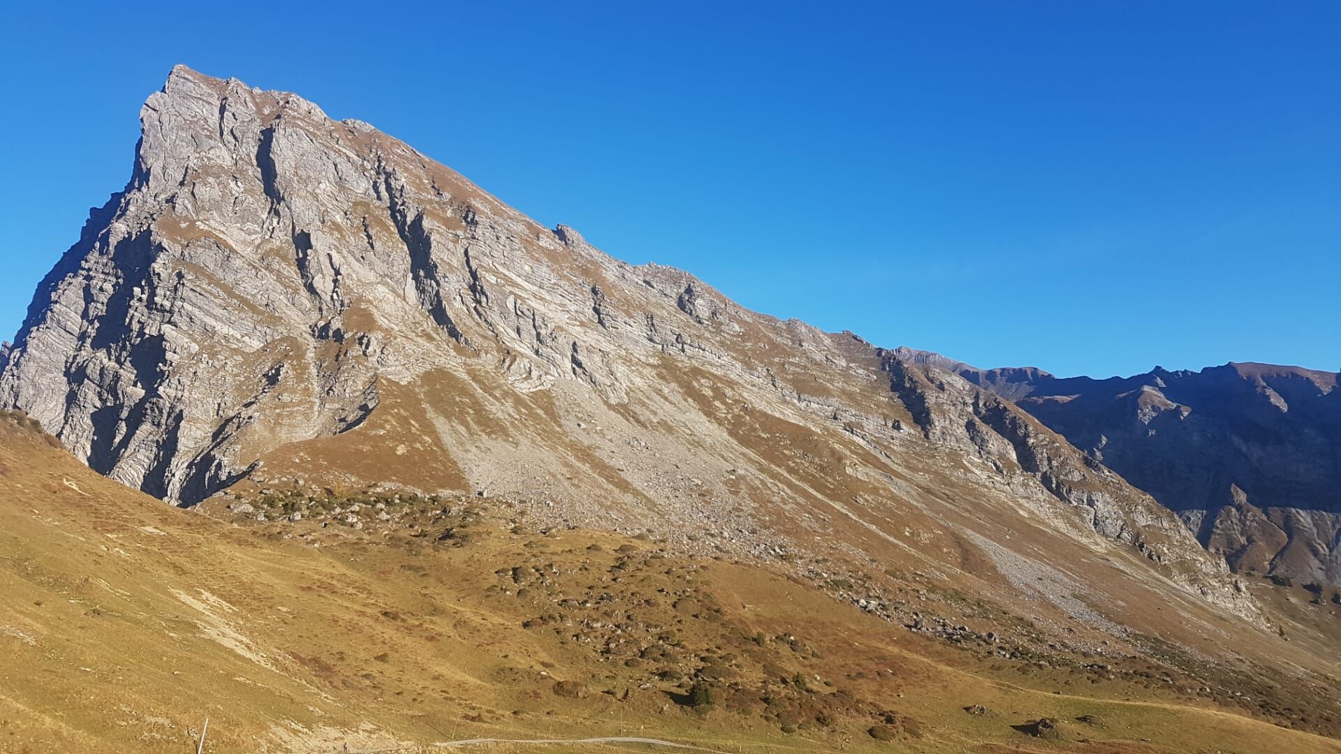
A great and challenging mountain hike that requires good fitness. The first part of the path is identical to the hike to the Fläsch lakes. From the uppermost lake, it becomes quite steep. A beautiful view into the valley is offered by the stop at Fläsch Fürggli. Now there are about 300 altitude meters left until you reach the summit. The effort is worth it, as the panoramic view is magnificent. With some luck, ibex can be observed. Before you start the return journey, signing the summit book is mandatory.
Take the ascent path to the lowest Fläsch lake. From there, either via Alp Sarina or Alp Bad.

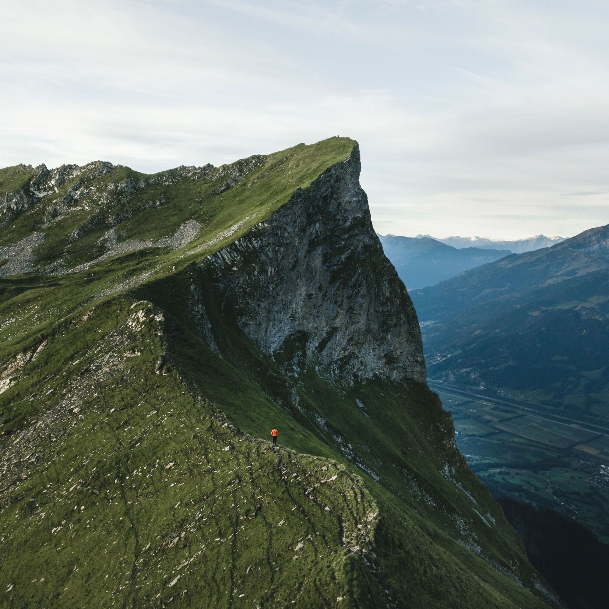
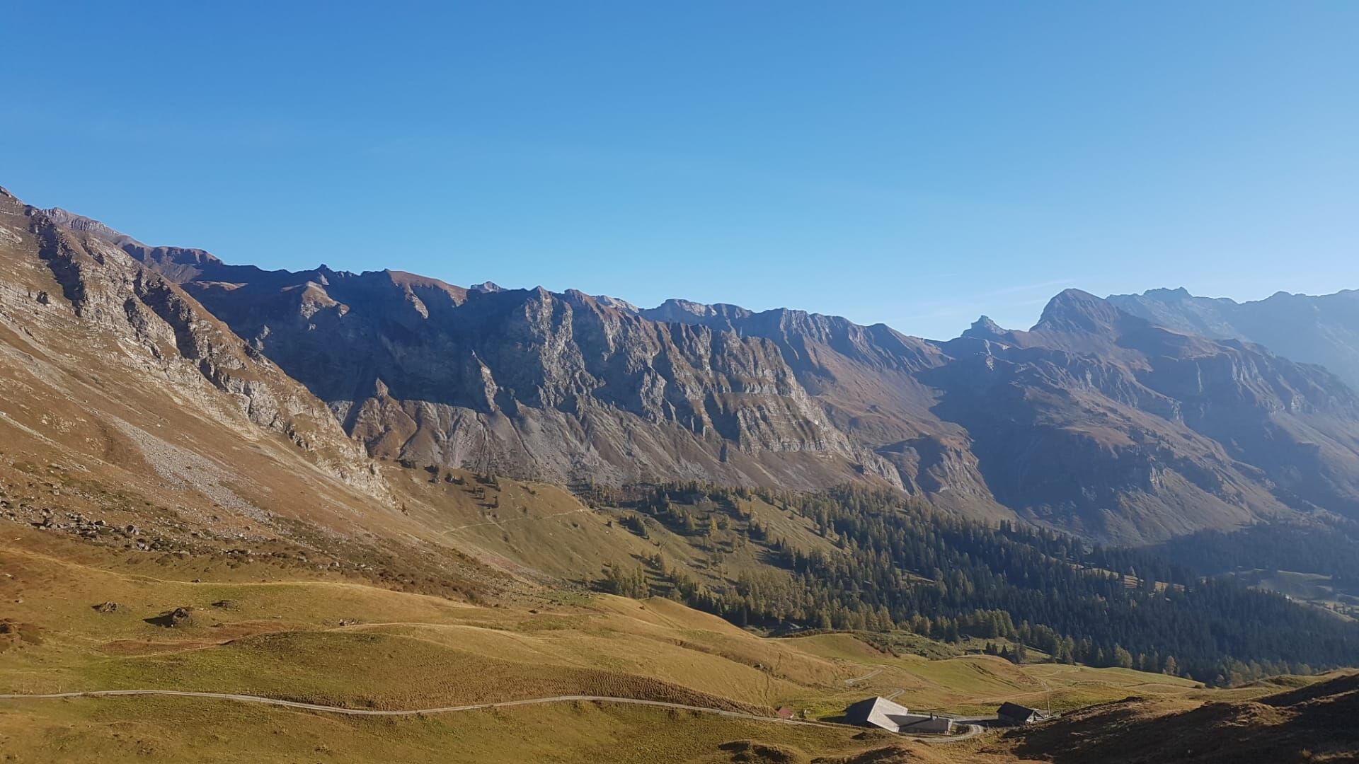
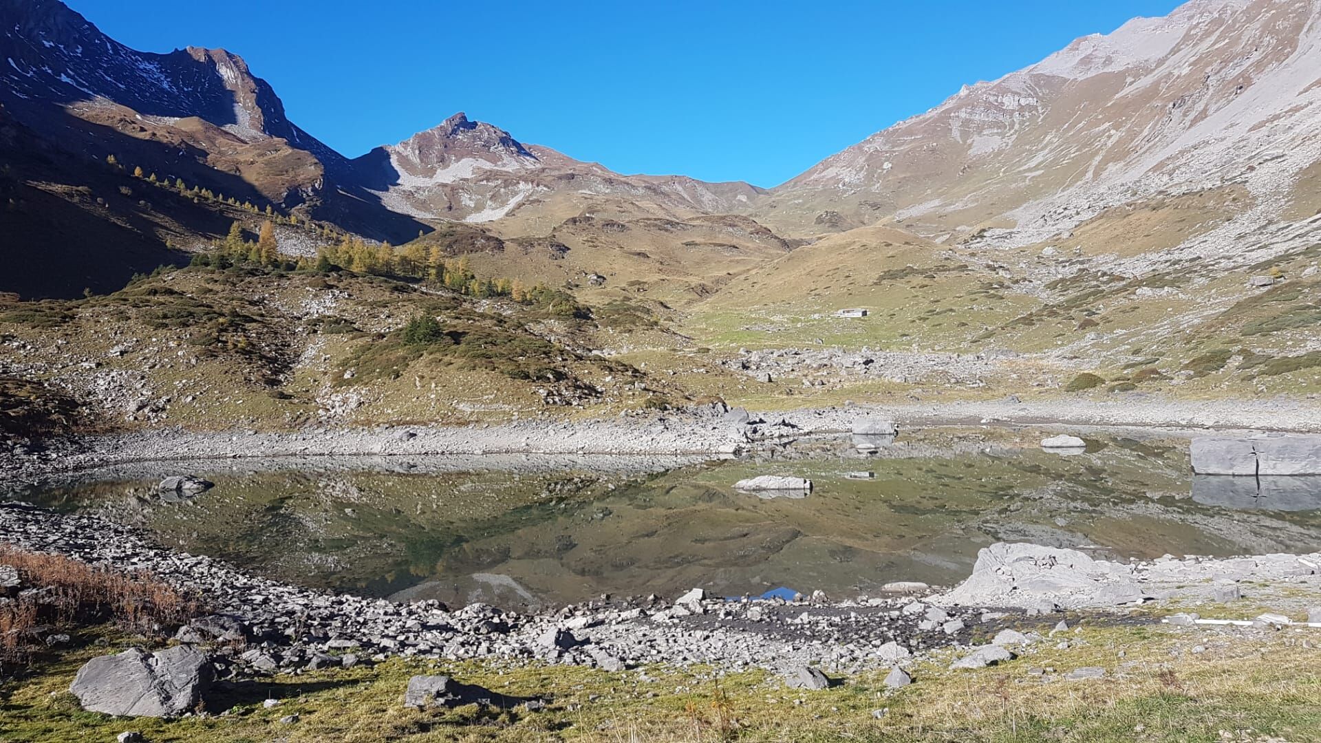
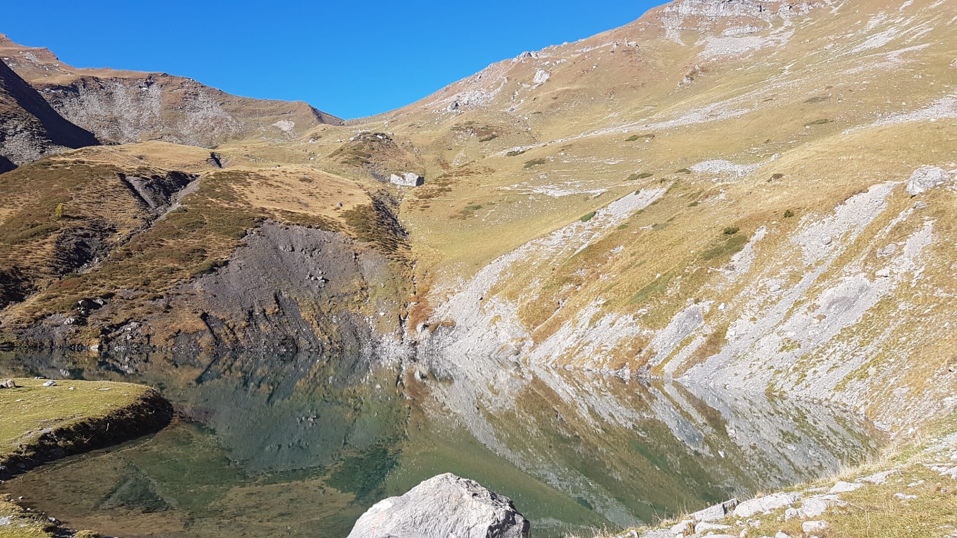

Ano
Normal hiking equipment, sturdy mountain boots.
The section between the ridge and the front Fläsch lake can be slippery in places after rain. Demanding hike, requires surefootedness and a head for heights.
Motorway exit Landquart, then on the main road to Malans. In the village, the way to the Älplibahn is signposted.
By train to Malans, then by bus to the Malans, Älplibahn stop (reservation required!).
Public parking is available at the Älplibahn (free provided you give the parking space number at the valley station)
Heidiland Tourism, information office Bad Ragaz
T +41 81 300 40 20
www.heidiland.com
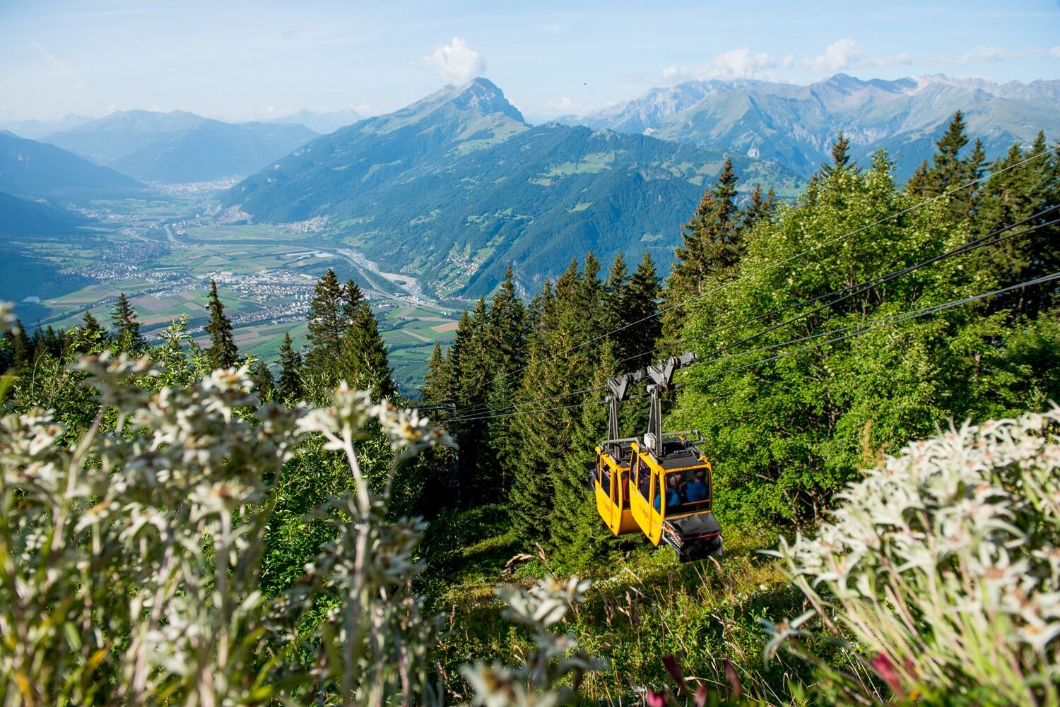
A visit to the restaurant at the Älplibahn is worthwhile because the view is fantastic - Viva & en Gueta!





Oblíbené prohlídky v okolí
-
4.7
Douglashütte - Schesaplana
středníTuristika 7.31 km -
3.8
Fürstin-Gina-Weg
Turistika 10.7 km -
4.5
To the summit cross of the Alpspitz
středníTuristika 6.02 km -
4.8
Douglasshütte, Lünersee, Gafalljoch Brand bei Bludenz, Vorarlberg
světloTuristika 9.16 km -
4.8
Tamina Gorge Circular Route
středníTuristika 14.0 km -
3.8
Sassweg - von Malbun zum Sass-Seelein
Turistika 4.14 km -
4.7
5-Seen Wanderung am Pizol
světloTuristika 10.1 km -
4.9
From Malbun to the Schönberg
středníTuristika 12.4 km -
4.7
Alvier
středníTuristika 3.33 km -
4.8
Schesaplana
středníVysokohorská turistika 5.26 km
Pěší turistika a stopování


Nenechte si ujít nabídky a inspiraci pro vaši příští dovolenou
Vaše e-mailová adresa byl přidán do poštovního seznamu.





