







Göhrde-Neetze route
Úroveň obtížnosti: 2
On the Göhrde-Neetze route, you cycle along giant glacial erratics from the last Ice Age, megalithic tombs from the Neolithic, and sites from the French era. Plus the hunting stories from the imperial...
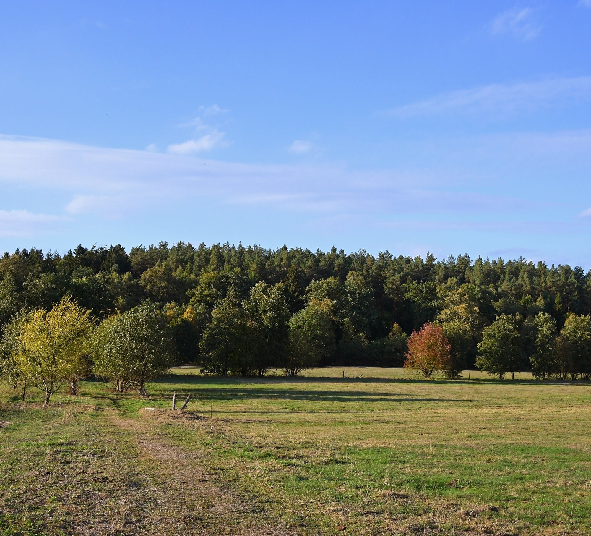
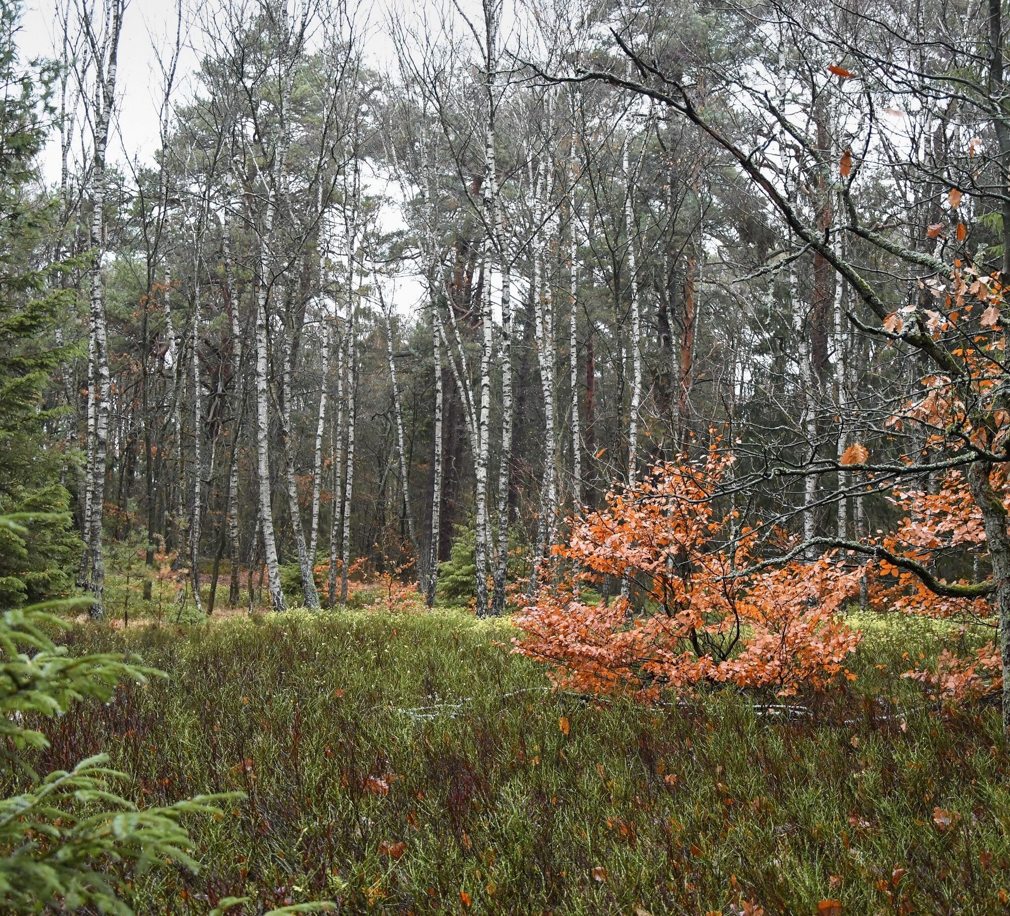
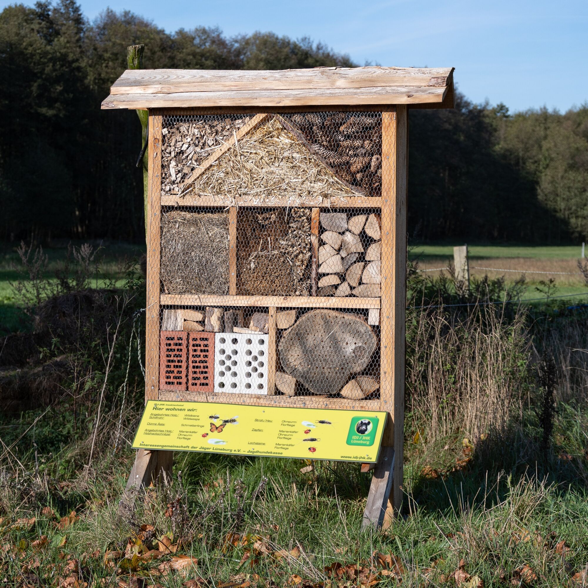
On the Göhrde-Neetze route, you cycle along giant glacial erratics from the last Ice Age, megalithic tombs from the Neolithic, and sites from the French era. Plus the hunting stories from the imperial period – the route between Göhrde and Neetze truly takes you back in time. The Göhrde state forest that you pass through on the route is the largest contiguous mixed forest area in northern Germany. Many very old pedunculate oaks are designated as natural monuments and thus protected. But it’s not just through the forest; you also cycle a stretch along the Elbe River and through the Lower Saxony Elbe Valley biosphere reserve. The Elbe Valley biosphere center in Elbe Castle Bleckede also offers a unique and exciting program for children and adults on the tour. Here you find animal experiences, entertainment, and information about 'Elbe life'. In the starting point Dahlenburg, the largest orchid garden in northern Germany invites you for a visit, and a ride with a bicycle draisine in Alt Garge provides an unforgettable experience.

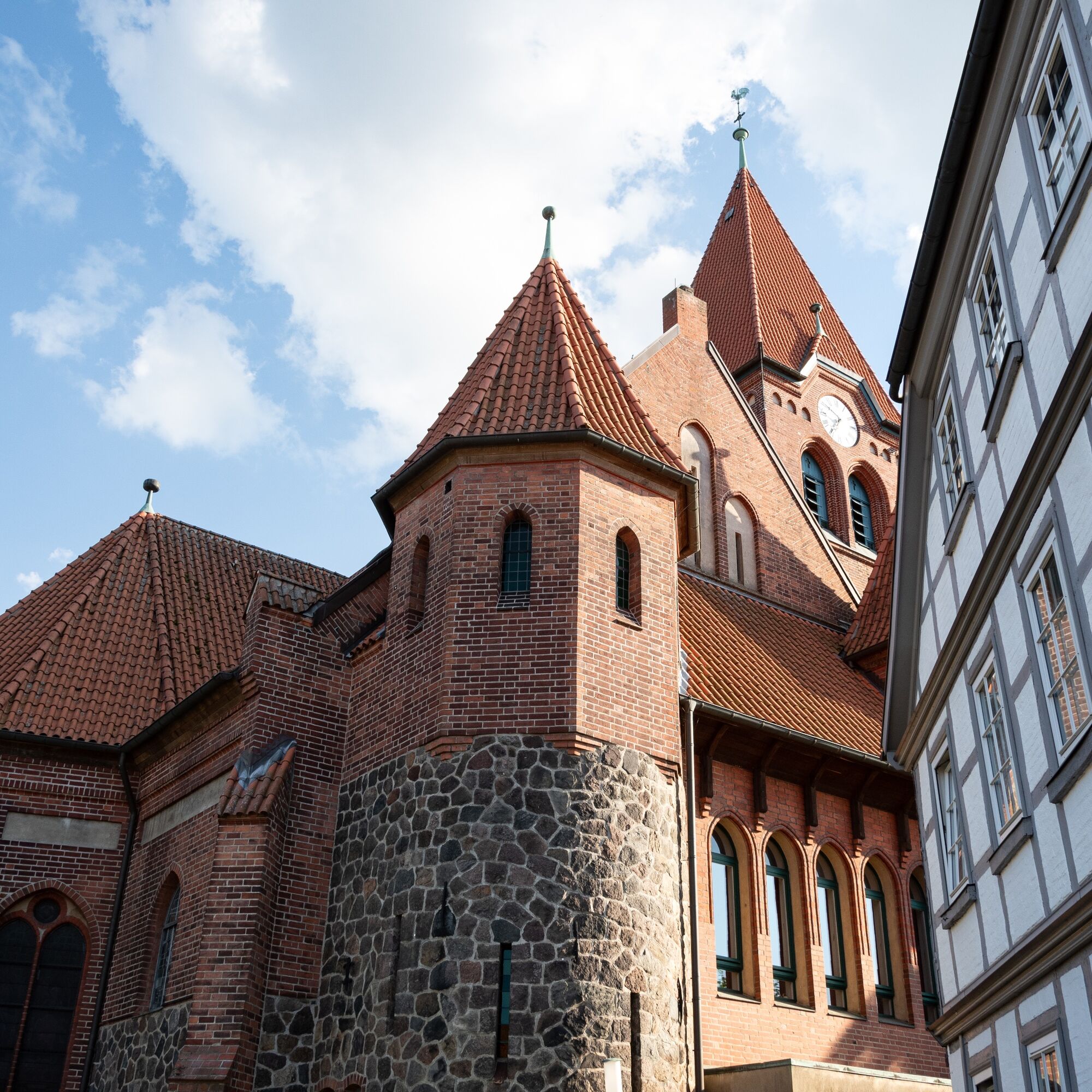
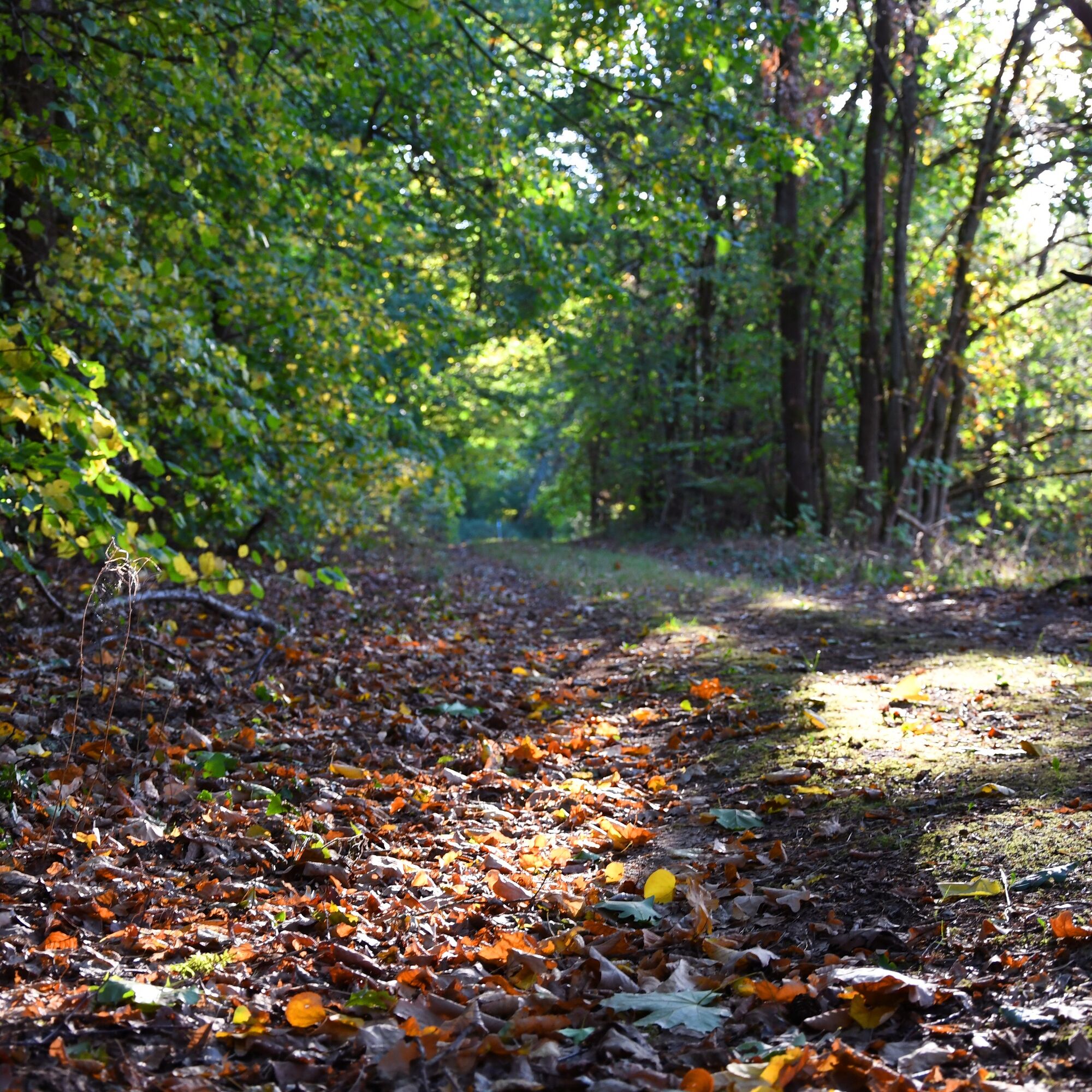
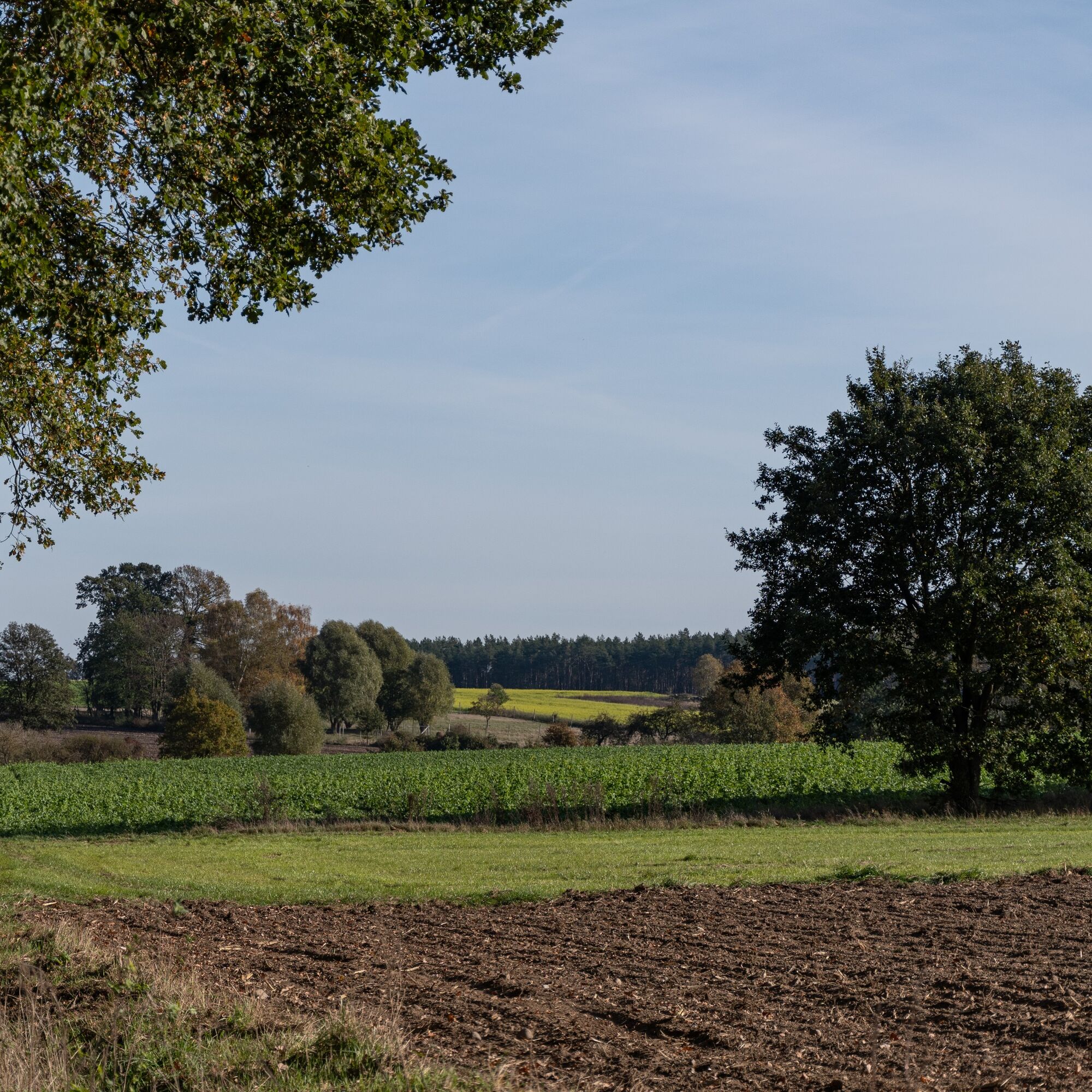
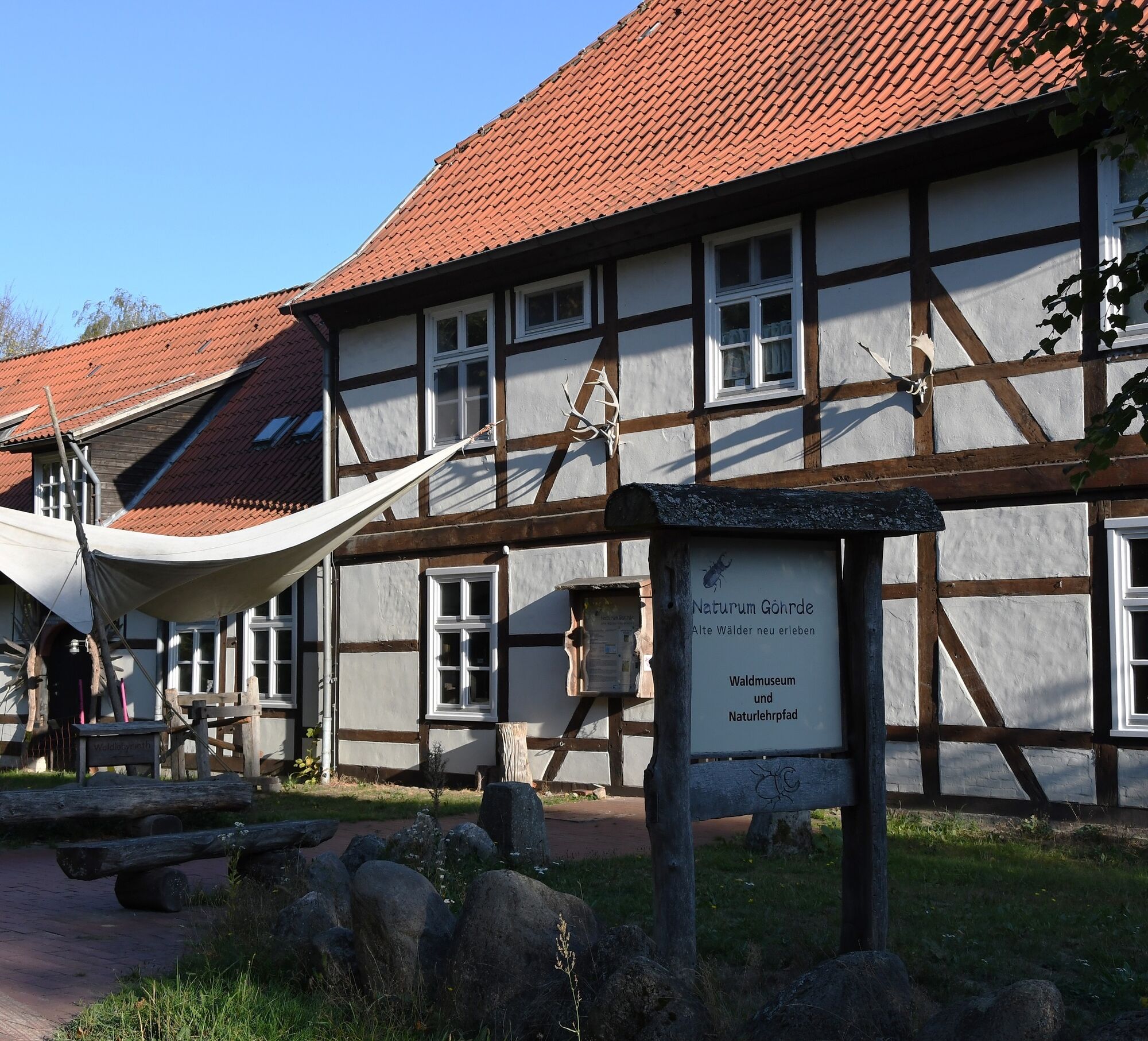
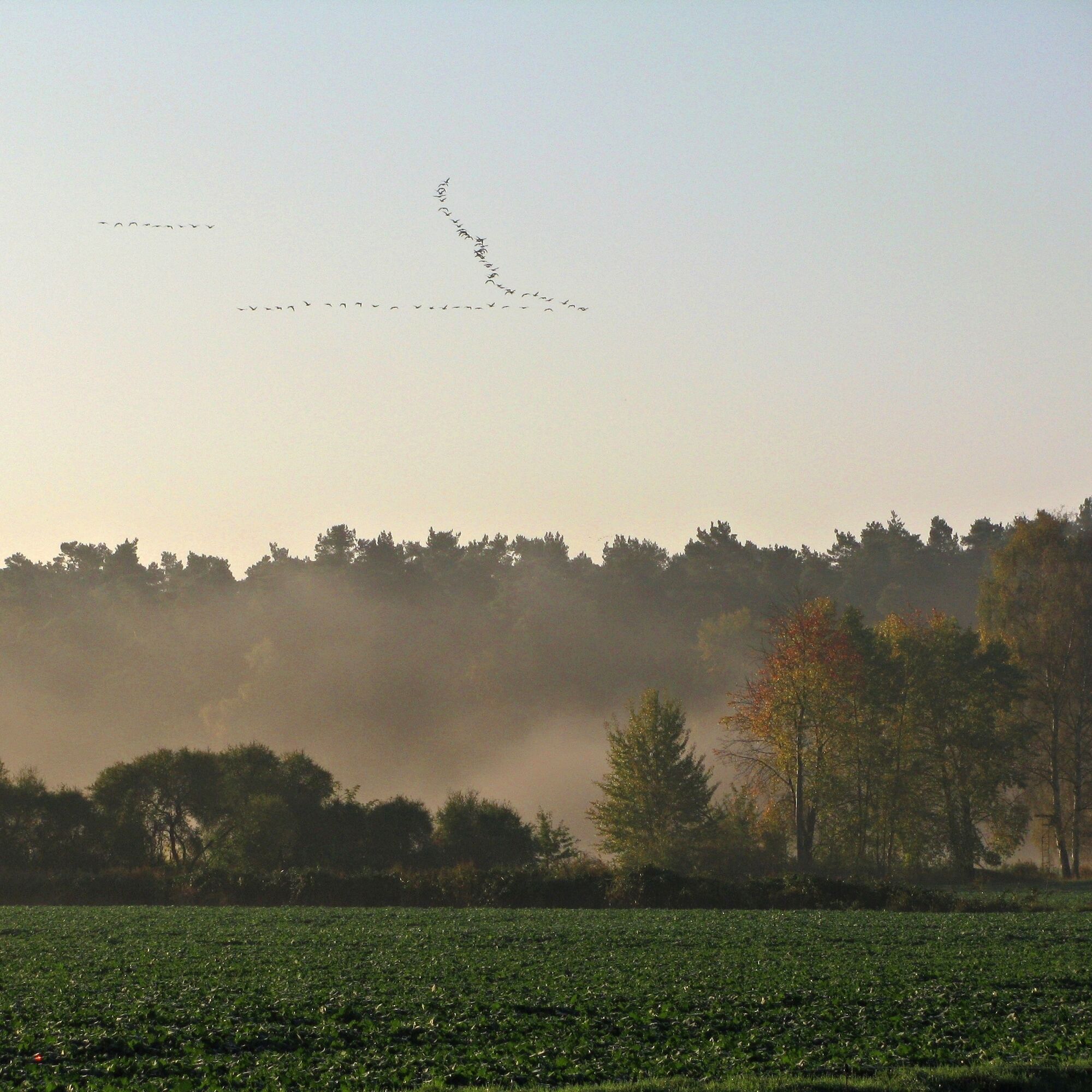
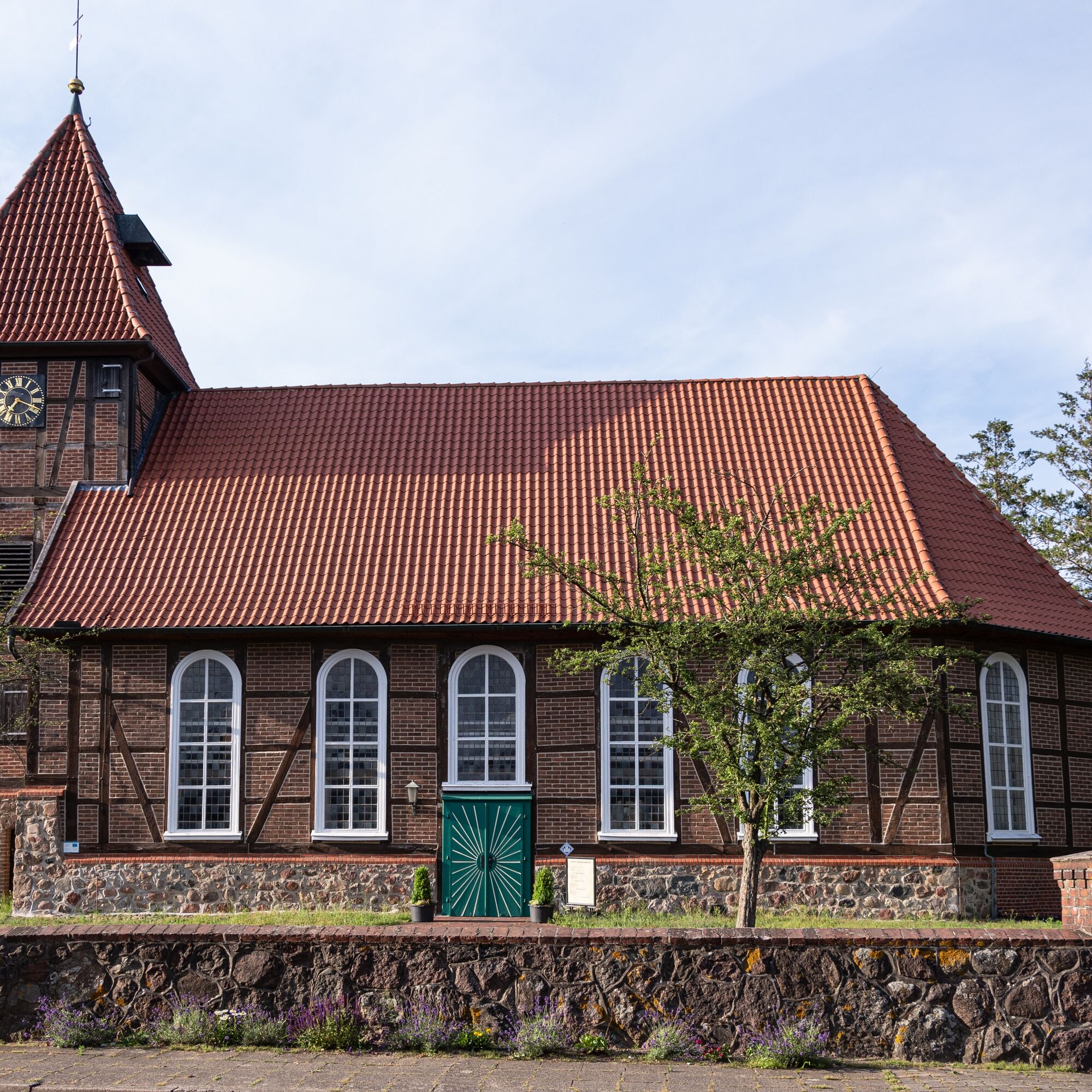

Starting from Dahlenburg station, you begin the Göhrde-Neetze route initially heading towards Dahlenburg. Then you continue through Buendorf and past Nahrendorf to the east until you reach the small village of Pommoißel. There you turn left onto Pommoißeler Straße and cross a railway line. Passing Neestahl and Kovahl, you proceed to Ventschau. Here you turn left onto the main street and follow the path via Köhlingen to Barskamp. At Wohld, you reach the Elbe River and follow it downstream to Bleckede. You pass through the town and can admire the Elbe Castle before continuing. In Bleckede, turn left onto Lüneburger Straße and then left again onto Breetzer Straße, which you follow to Breetze. From here, continue to Neetze, which you pass through. The path takes you along the Neetze River through the villages of Süttorf, Thomasburg, and Ellringen back to Dahlenburg. The country road towards Lemgrabe takes you back to Dahlenburg station.
Ano
Ano
You should always carry a pump and repair kit with you in case your tire loses air!
Always pay attention to your safety and wear a bicycle helmet!
From Hamburg, follow the A1 (signposted towards Bremen), A39 (signposted towards Lüneburg) and from Lüneburg the B216 to Dahlenburg.
From Berlin, take the A10 (signposted towards Hamburg) and continue on the A24 (also towards Hamburg) and A14 to Ludwigslust. From there, follow the B191 to Dannenberg and continue via the B126 to Dahlenburg.
Lüneburg station is well accessible from all directions by train. From there, take the RB32 to Dahlenburg.
Parking lot at the tourist information of the Samtgemeinde Dahlenburg
Am Markt 17, 21368 Dahlenburg
Coordinates:
Geographical: 52.889353, 10.894725
UTM: 32U 627474 5861643
2
In the Dahlenburg local history museum, you will find a permanent exhibition about the Battle of Göhrde, which took place in this area in 1813.
Oblíbené prohlídky v okolí
-
5.0
Kulturell durch die Ostheide
středníJízda na kole 25.5 km -
Elbe-Katemin-Way
středníTuristika 23.3 km -
2.0
Sudewiesen-Weg
heavyTuristika 13.0 km -
Elbe-Land route
středníJízda na kole 55.7 km -
Biosphere Crossing
středníJízda na kole 44.8 km -
Vogelkieker-Route
středníJízda na kole 48.9 km -
Gentle mighty trees route
světloTuristika 1.94 km -
Naturlehrpfad Naturum Göhrde
světloTuristika 4.99 km -
Amt Neuhaus - die Arche mit Lust auf Vielfalt
středníJízda na kole 23.6 km -
Entlang der Grenze (V Grenzturm Darchau)
světloTuristika 8.02 km
Pěší turistika a stopování


Nenechte si ujít nabídky a inspiraci pro vaši příští dovolenou
Vaše e-mailová adresa byl přidán do poštovního seznamu.





