


Vogelkieker-Route
Úroveň obtížnosti: 1

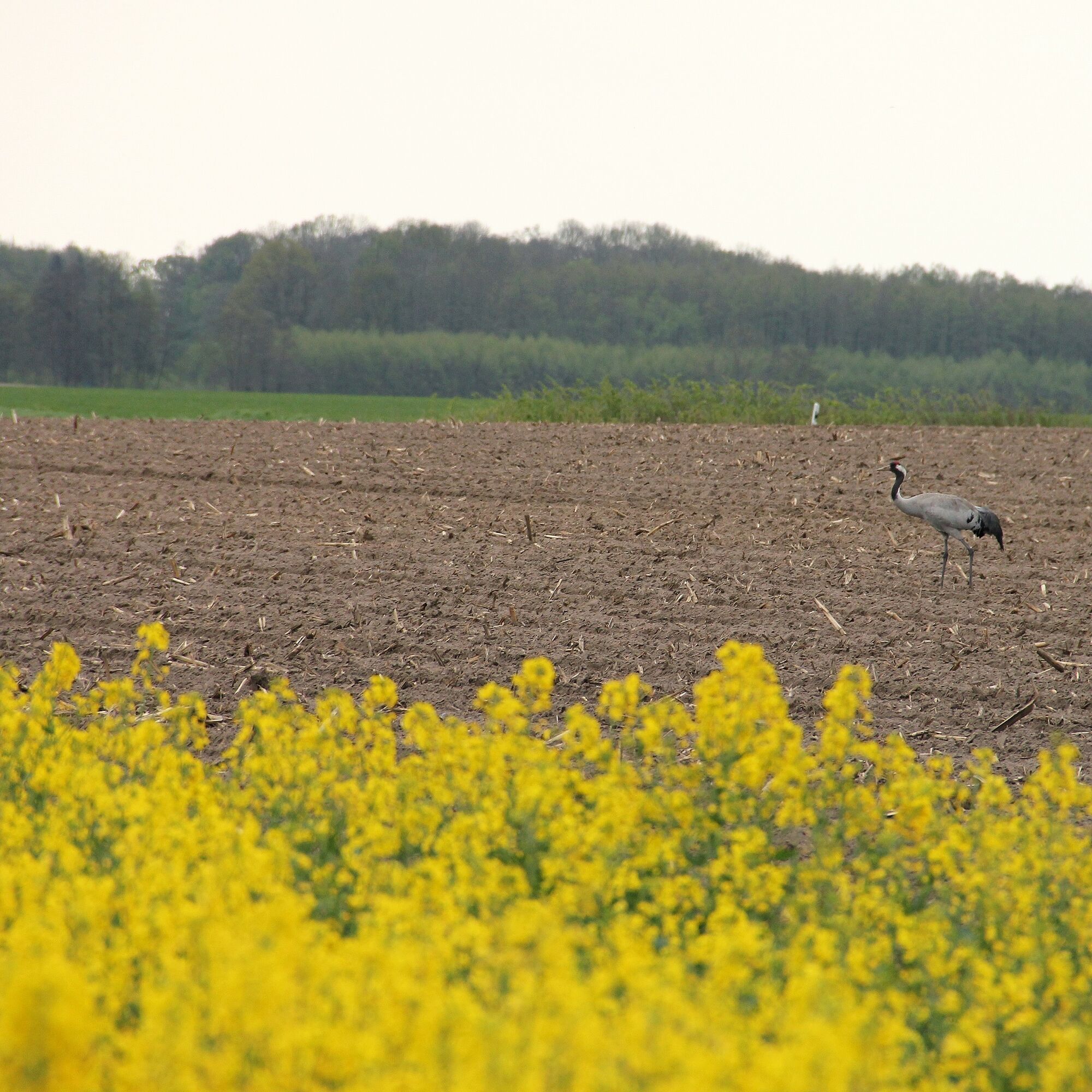
On the Vogelkieker-Route, you cycle through the best areas to observe the water birds of the Elbe river landscape up close. Numerous storks wade through the wet meadows of the Sude lowlands, and from afar,...
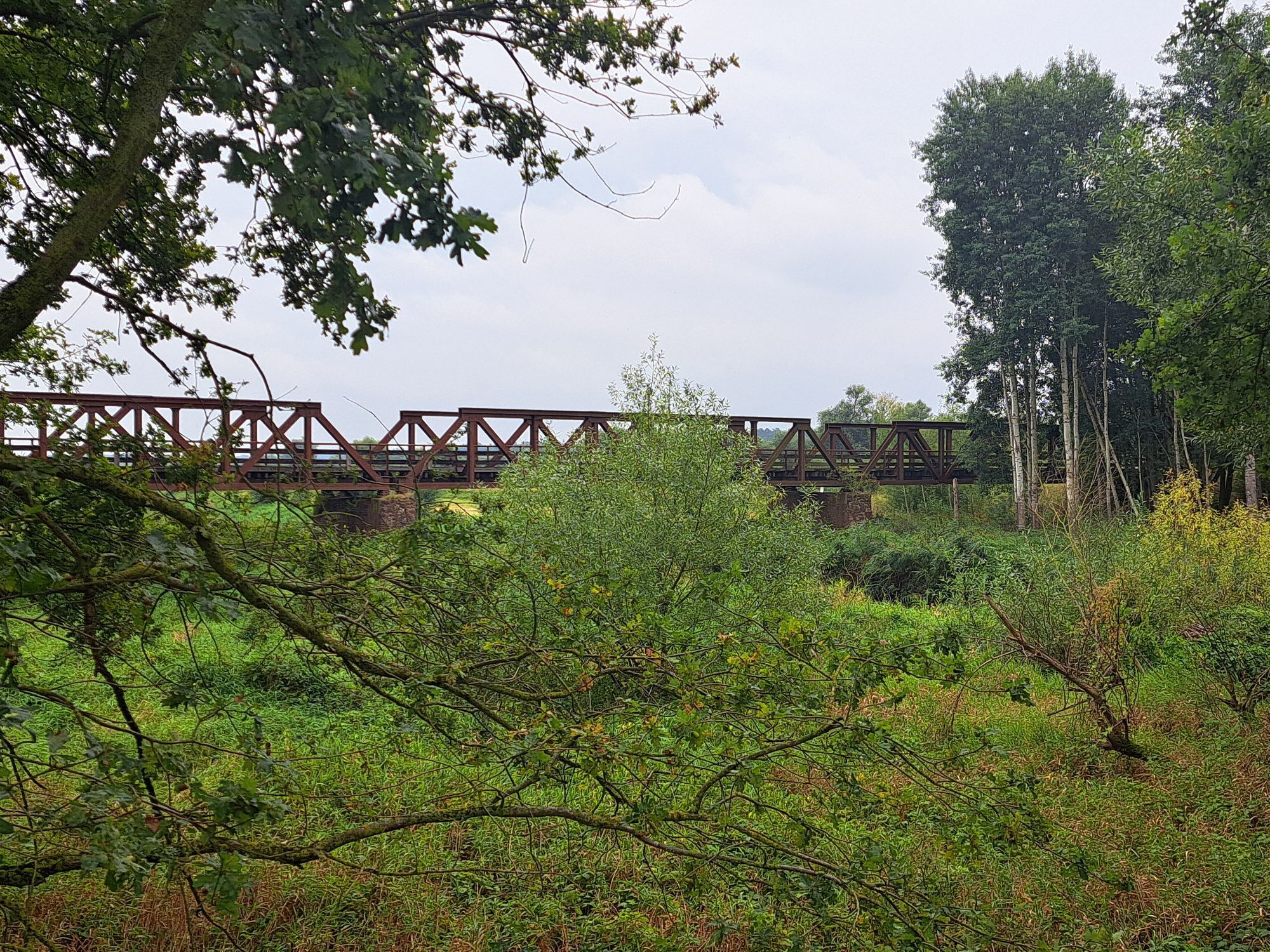
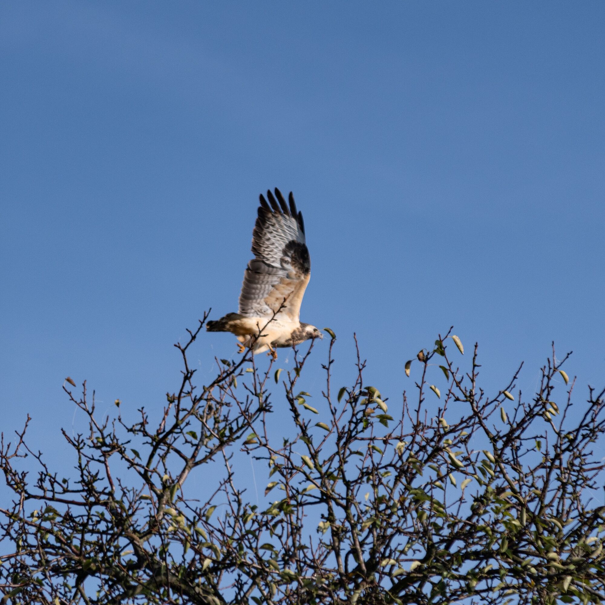
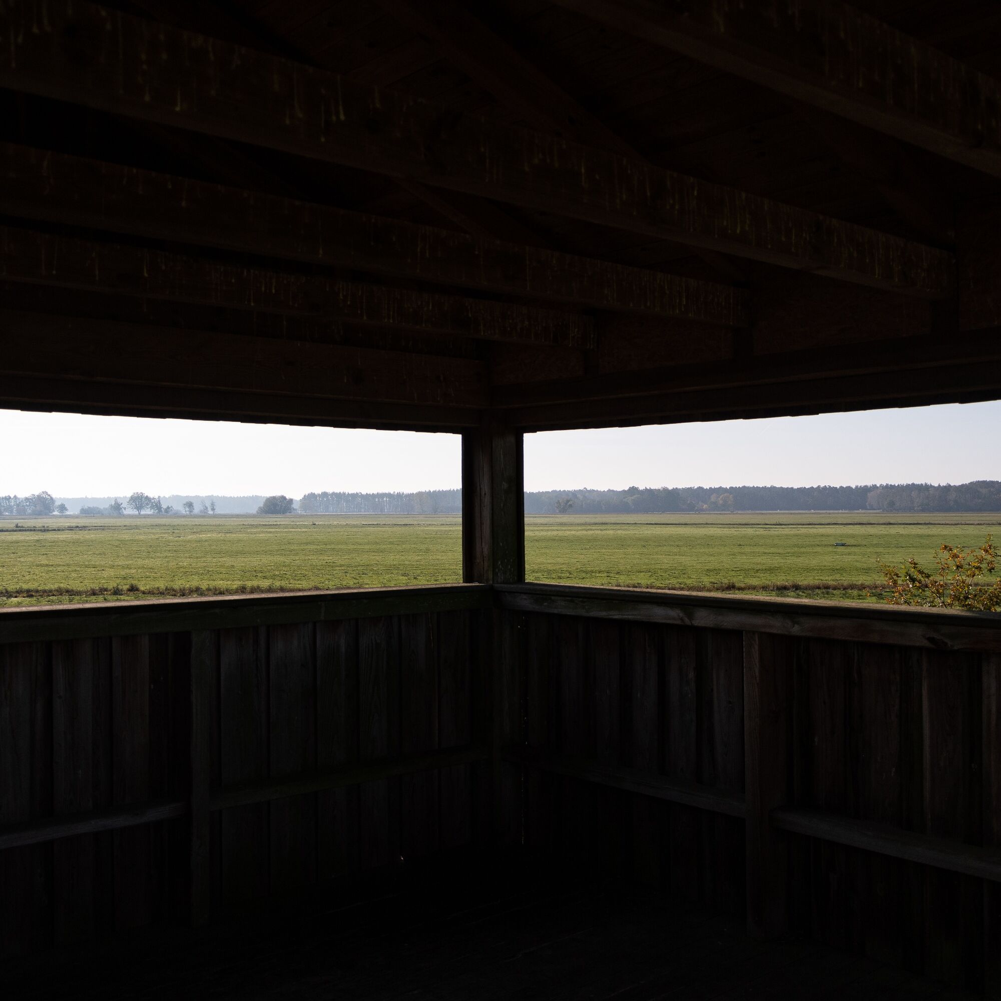
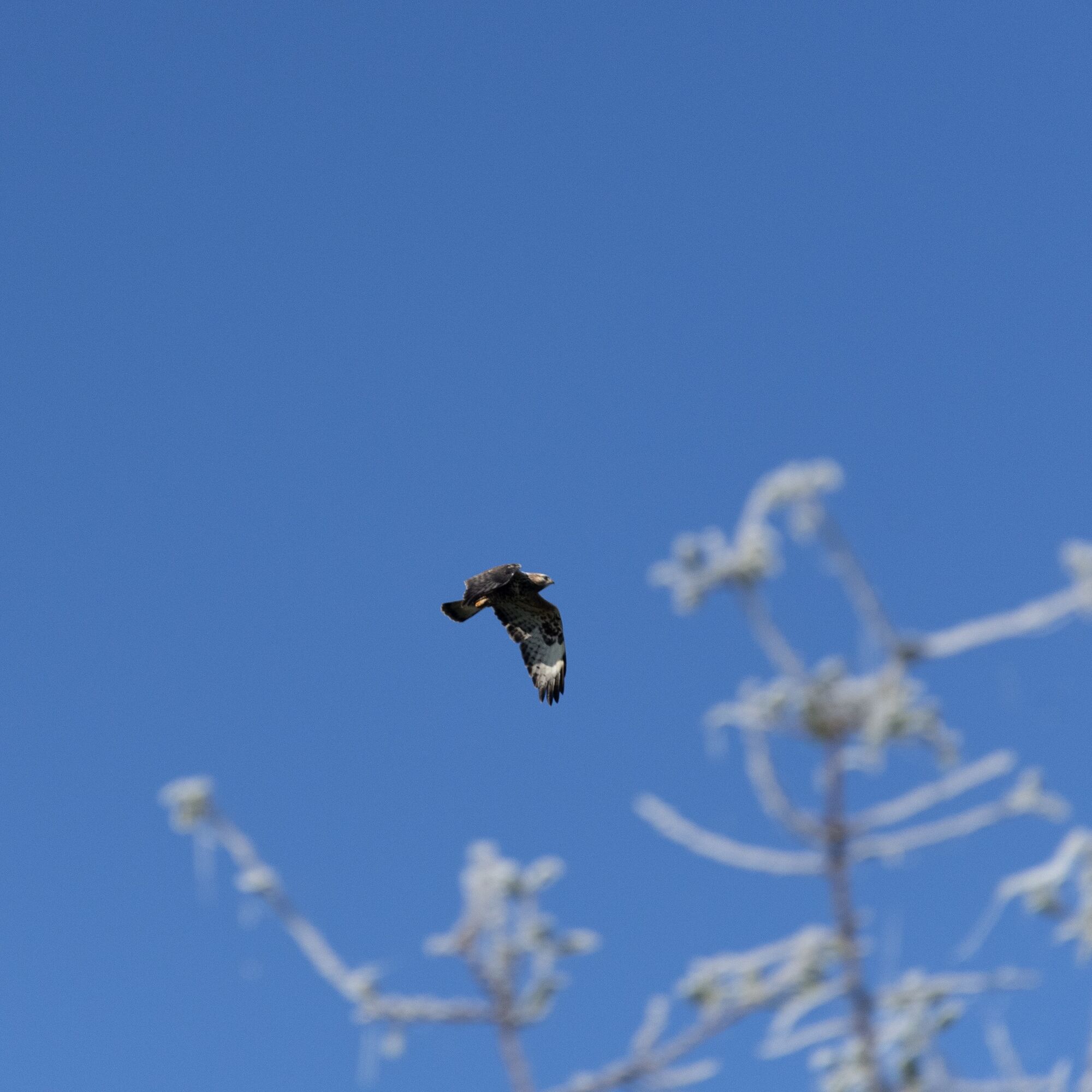
On the Vogelkieker-Route, you cycle through the best areas to observe the water birds of the Elbe river landscape up close. Numerous storks wade through the wet meadows of the Sude lowlands, and from afar, cranes can be heard trumpeting. Sea eagles, lapwings, and many other species can also be spotted here. The marshland on both sides of the Elbe is an indispensable breeding and resting area for over 150 bird species. It is also a popular destination for migratory birds. Every year, more than 40,000 geese come from the north to spend the winter here – a fascinating spectacle. Several observation platforms along the route offer the opportunity for undisturbed watching. Extensive information about the birdlife on the Elbe is also provided by exhibitions at the Biosphaerium Elbtalaue in Bleckede and at the Storkenkate in Preten. The scenic beauty of the Elbe river landscape and marshlands completes the Vogelkieker-Route.

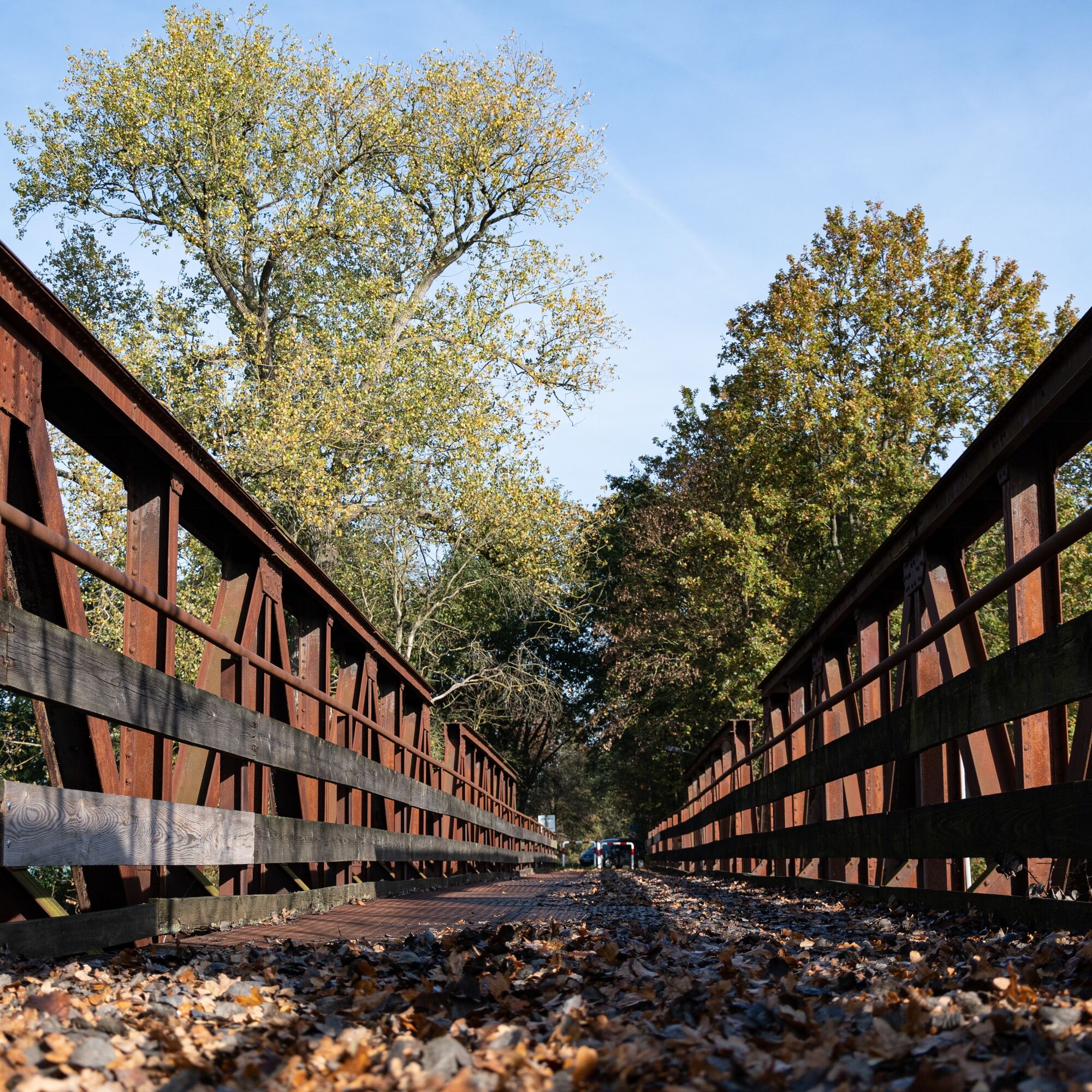
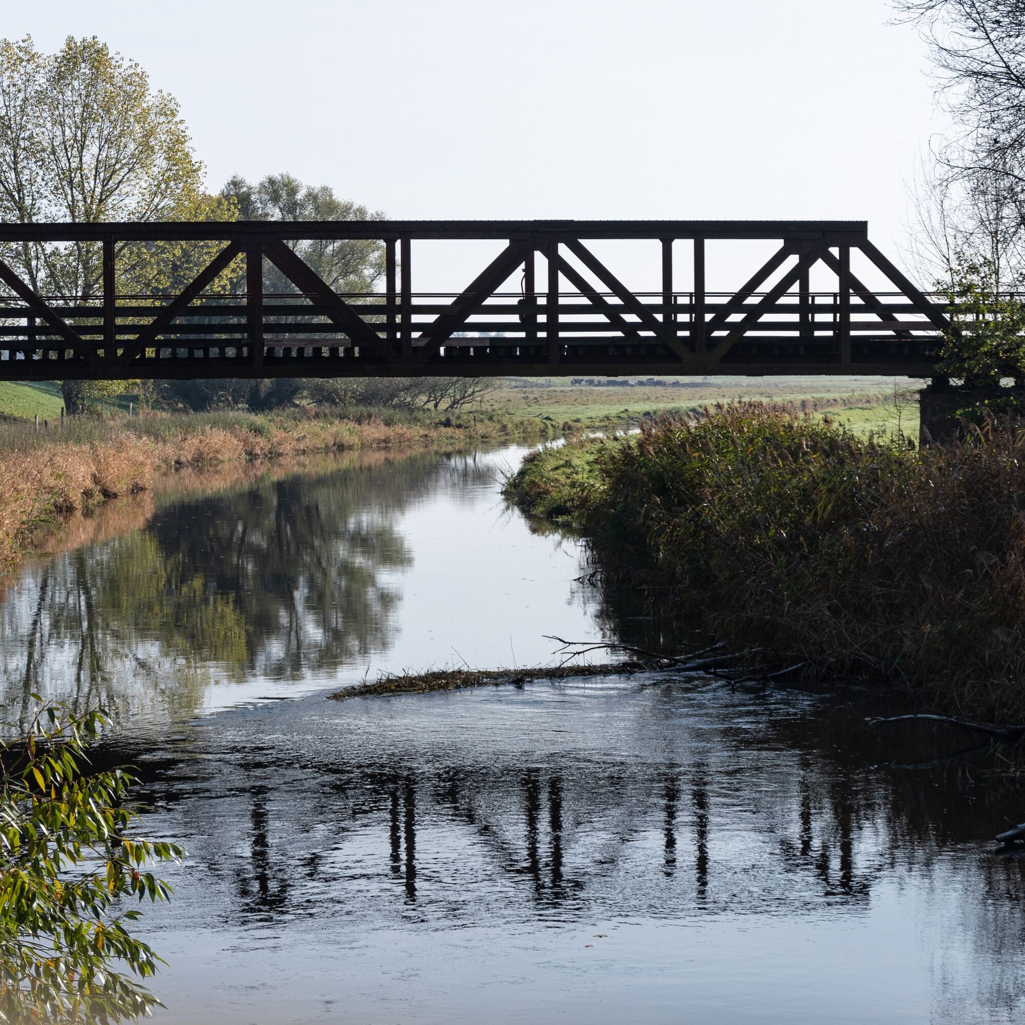
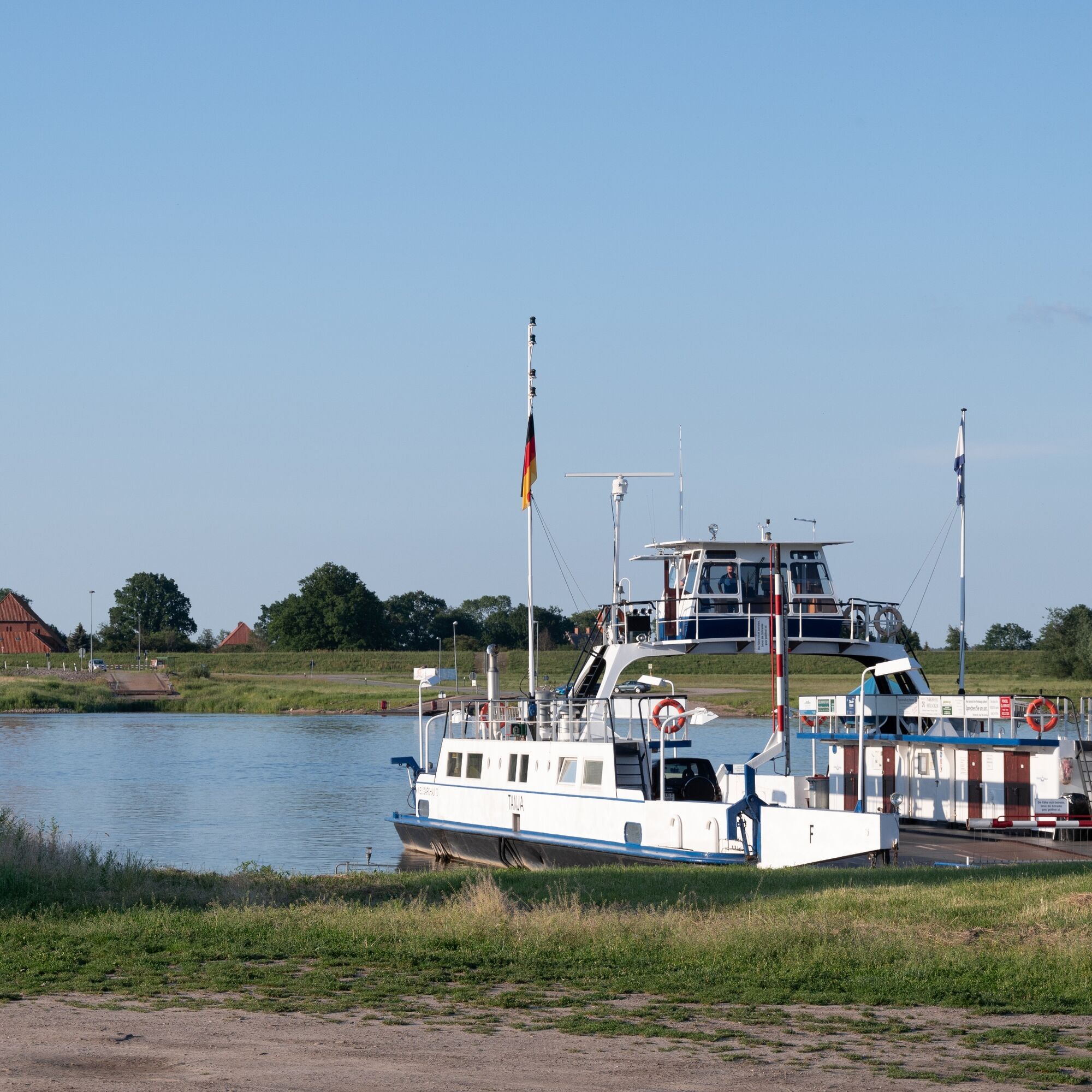
From the Biosphaerium Elbtalaue, you start towards the Elbe, which you cross by ferry. You continue upstream along the Elbe floodplains towards Stiepelse, where the path leaves the Elbe again. Via Krusendorf, you head towards the Krainke, which you cross at Niendorf and then follow the path to Preten. A stop at the Storkenkate is worthwhile here! You pass through the village and cross the Sude twice! Through the Sude meadows, you continue to Dellien and from there to Amt Neuhaus. Here you turn right, pass the church, and reach the Krainke, which you cross again. From there, you continue to Haar. Here the path turns right and leads through the Elbe lowlands to Konau and further to Darchau. You take the ferry to Neu-Darchau and cross the Kateminer Mühlenbach. Downstream, you continue along the Elbe and through the Elbe heights via Katemin, Walmsburg, and Wohld back to Bleckede.
Ano
You should always carry a pump and repair kit in case your tire loses air!
Always pay attention to your safety and wear a bicycle helmet!
From Hamburg, drive via the A1 (signposted towards Bremen), A39 (signposted towards Lüneburg) to Lüneburg. Take the B216 (signposted towards B216/Dannenberg/Dahlenburg/Bleckede) from there to Bleckede.
From Berlin, take the A10 (signposted towards Hamburg), then continue on the A24 (also towards Hamburg) and the A14 to Ludwigslust. From there, follow the B191, then take the B216 to Bleckede.
The Lüneburg train station is easily accessible by train from anywhere.
From Lüneburg, take bus 5100 (towards Bleckede Ferry Terminal) to Bleckede.
At certain times, these buses operate as on-demand buses (RUF buses). You can reach the RUF buses by telephone at +49 5841 977 377.
Parking is available at the Biosphärium Elbtalaue.
Schloßstraße 10, 21354 Bleckede
Coordinates:
Geographical: 53.296119 10.726626
UTM: 32U 615075 5906602
1
From the observation towers at the Krainke and Sude, you can observe the wildlife even better!
Oblíbené prohlídky v okolí
Entlang der Grenze (V Grenzturm Darchau)
světloTuristika 8.02 kmKlötzie-Stieg
heavyTuristika 29.2 kmAmt Neuhaus - die Arche mit Lust auf Vielfalt
středníJízda na kole 23.6 kmFischteichweg
světloTuristika 8.32 kmGöhrde-Neetze-Tour
středníJízda na kole 78.8 kmRiver Hopping am Elberadweg
středníJízda na kole 34.3 kmRadtour "ARCHE-NORD"
středníJízda na kole 36.4 kmWaldweg
světloTuristika 5.19 kmVon Dübbekold nach Samatz
světloTuristika 6.89 kmHistorisches in der Elbtalaue
středníJízda na kole 41.8 km

Pěší turistika a stopování


Nenechte si ujít nabídky a inspiraci pro vaši příští dovolenou
Vaše e-mailová adresa byl přidán do poštovního seznamu.