


Sudewiesen-Weg

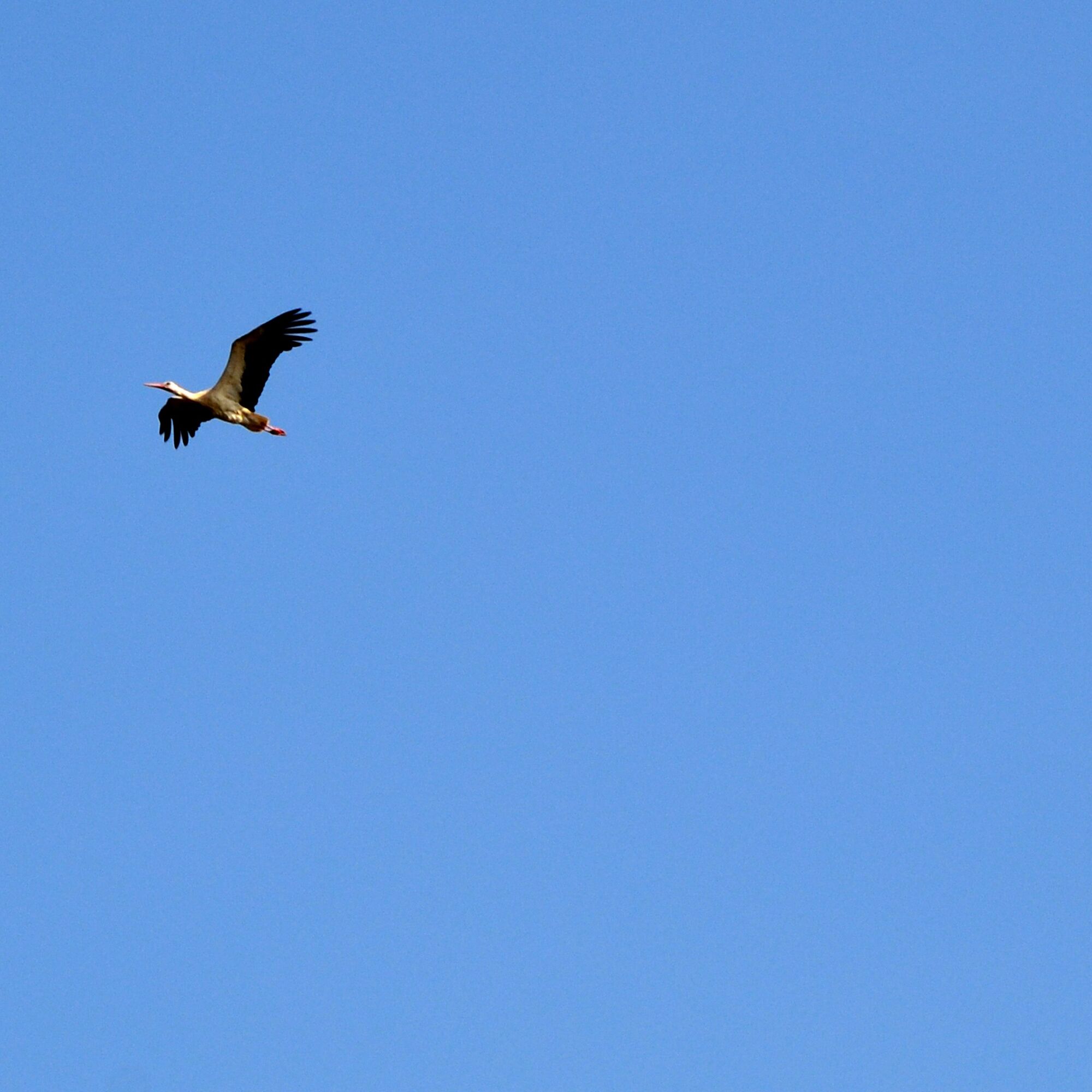
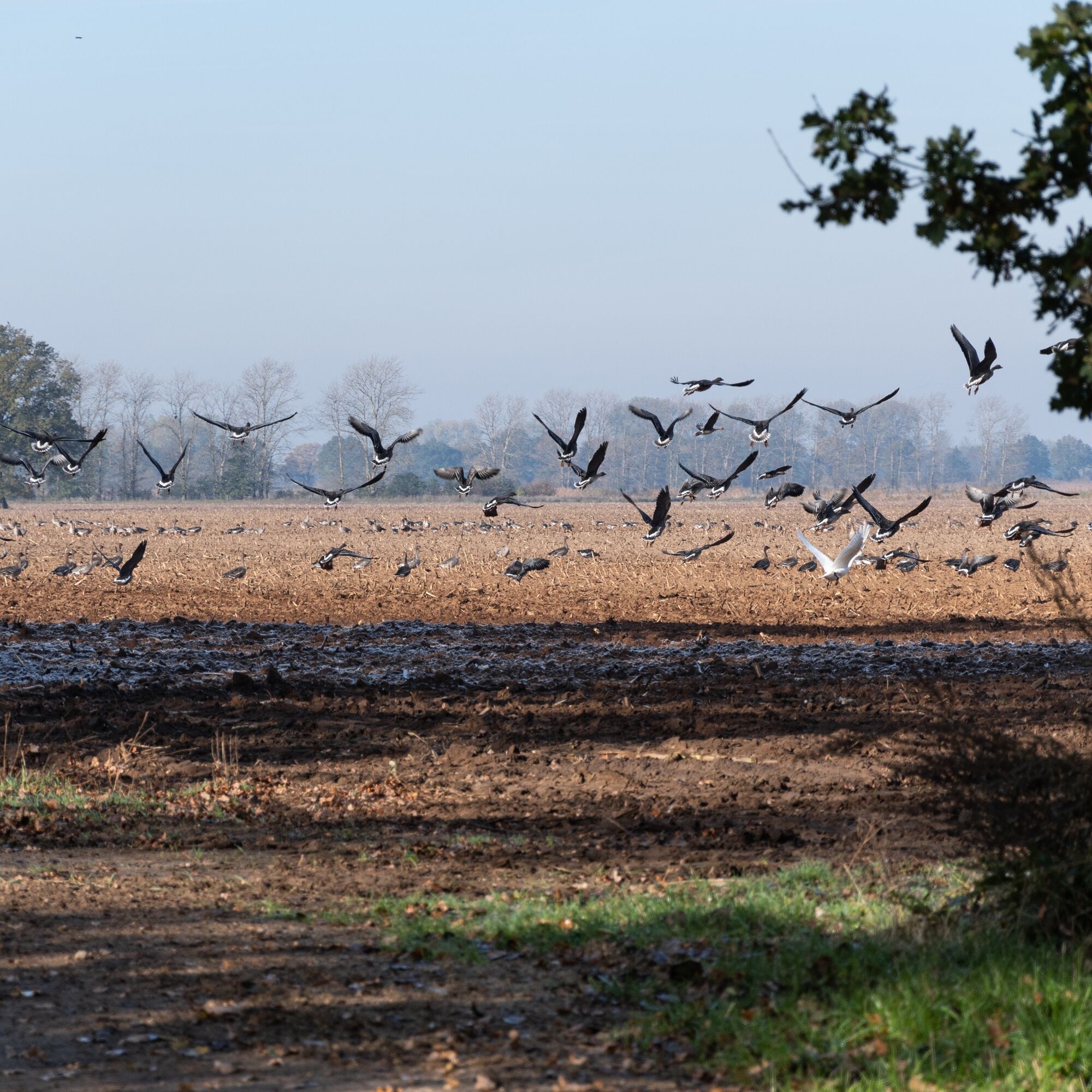
The Sude lowlands have great importance for species protection. They are habitat for many endangered animals such as the stork, crane, and woodcock. Those who preserve natural habitats sustainably secure...
The Sude lowlands have great importance for species protection. They are habitat for many endangered animals such as the stork, crane, and woodcock. Those who preserve natural habitats sustainably secure the future of storks. In Preten, the foundation "The Stork Foundation" purchased about 600 hectares of farmland on the Sude. Today, Heck cattle ("aurochs") and Koniks ("wild horses") lead a free, wild life there and spend the whole year on pasture. The herds are important for a diverse plant and animal world, provided that only a few animals are kept. Such extensive grazing and use of wet meadows create a mosaic of habitats that the Sudewiesen route winds through. The Krainke, a 35km long tributary of the Sude, is also part of this. It was designated as a nature reserve in 1990, including its approximately 50-meter wide shore strip, and offers the stork excellent living conditions. At the Stork Center “Storkenkate Preten”, you can learn a lot about this.
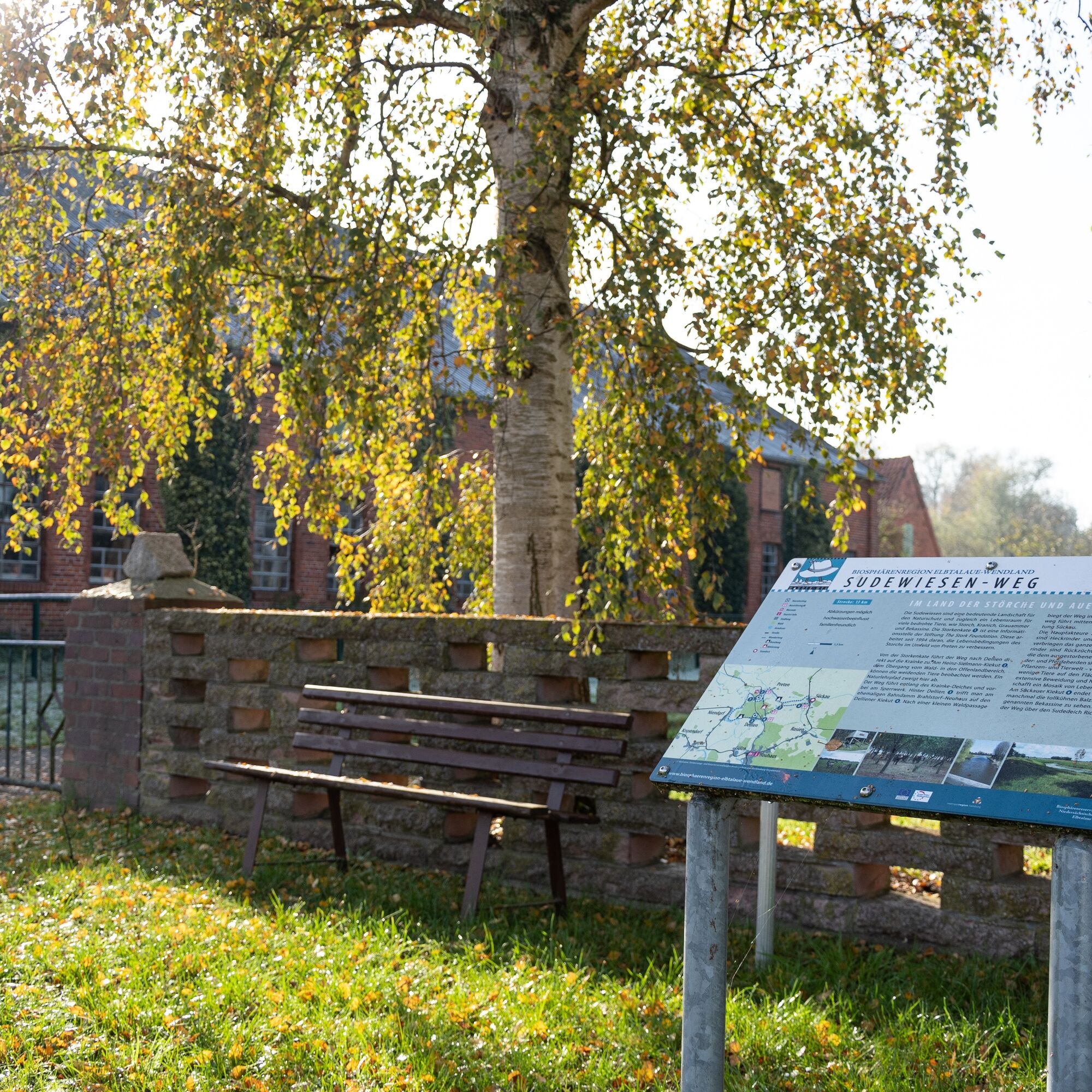
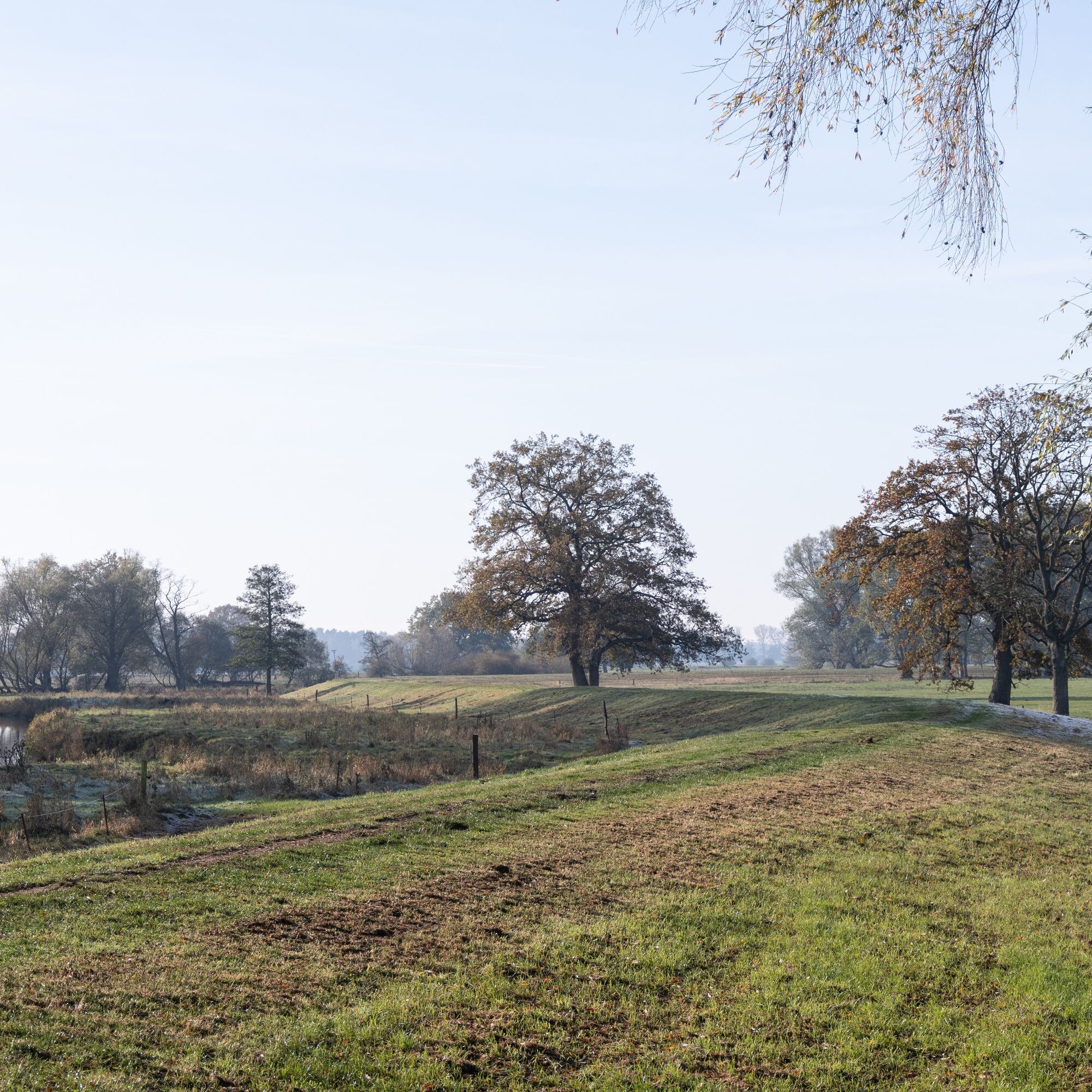
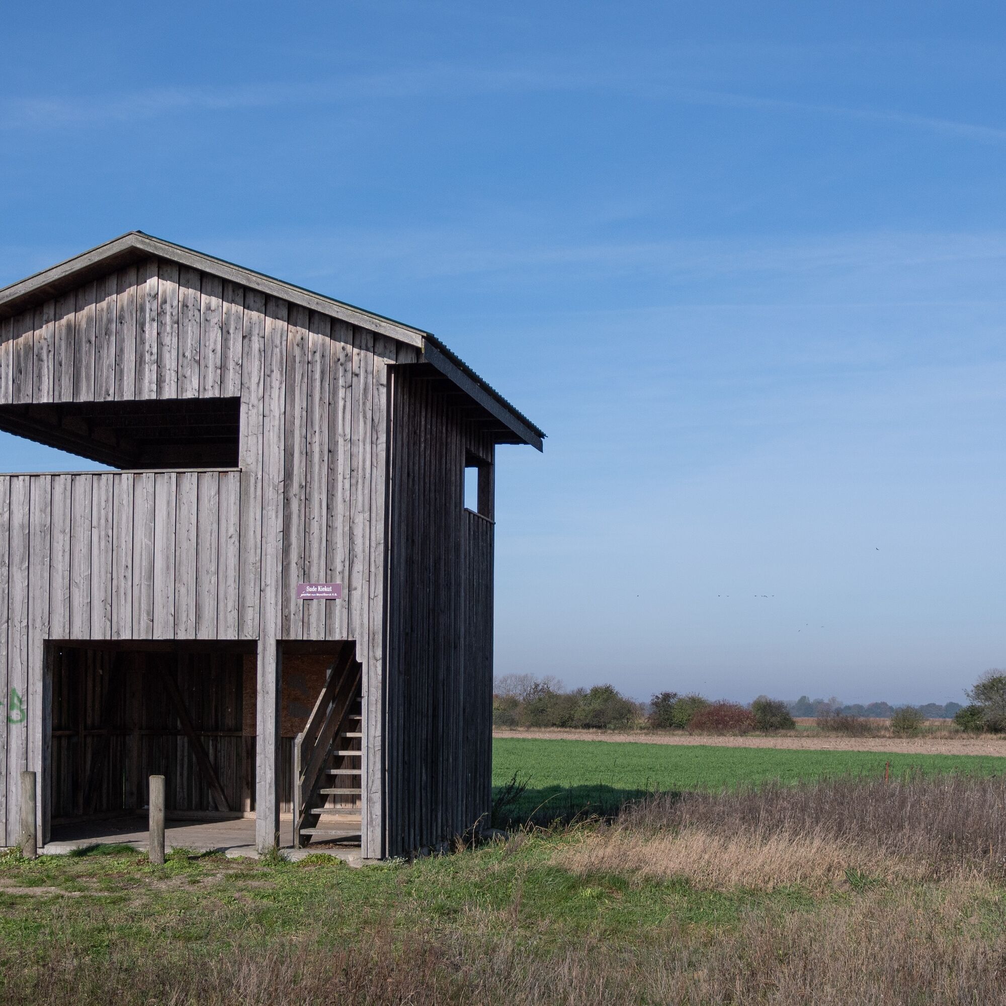
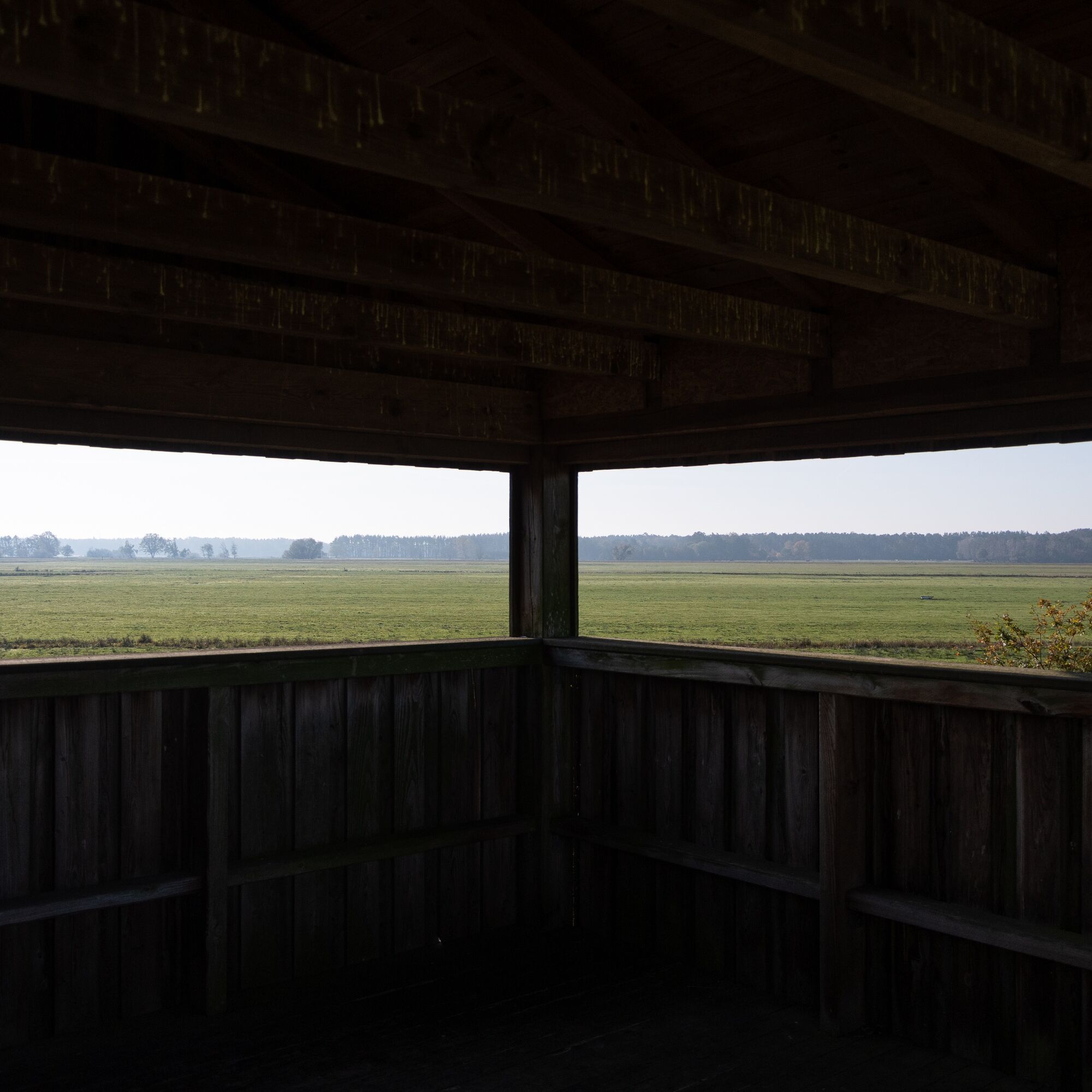
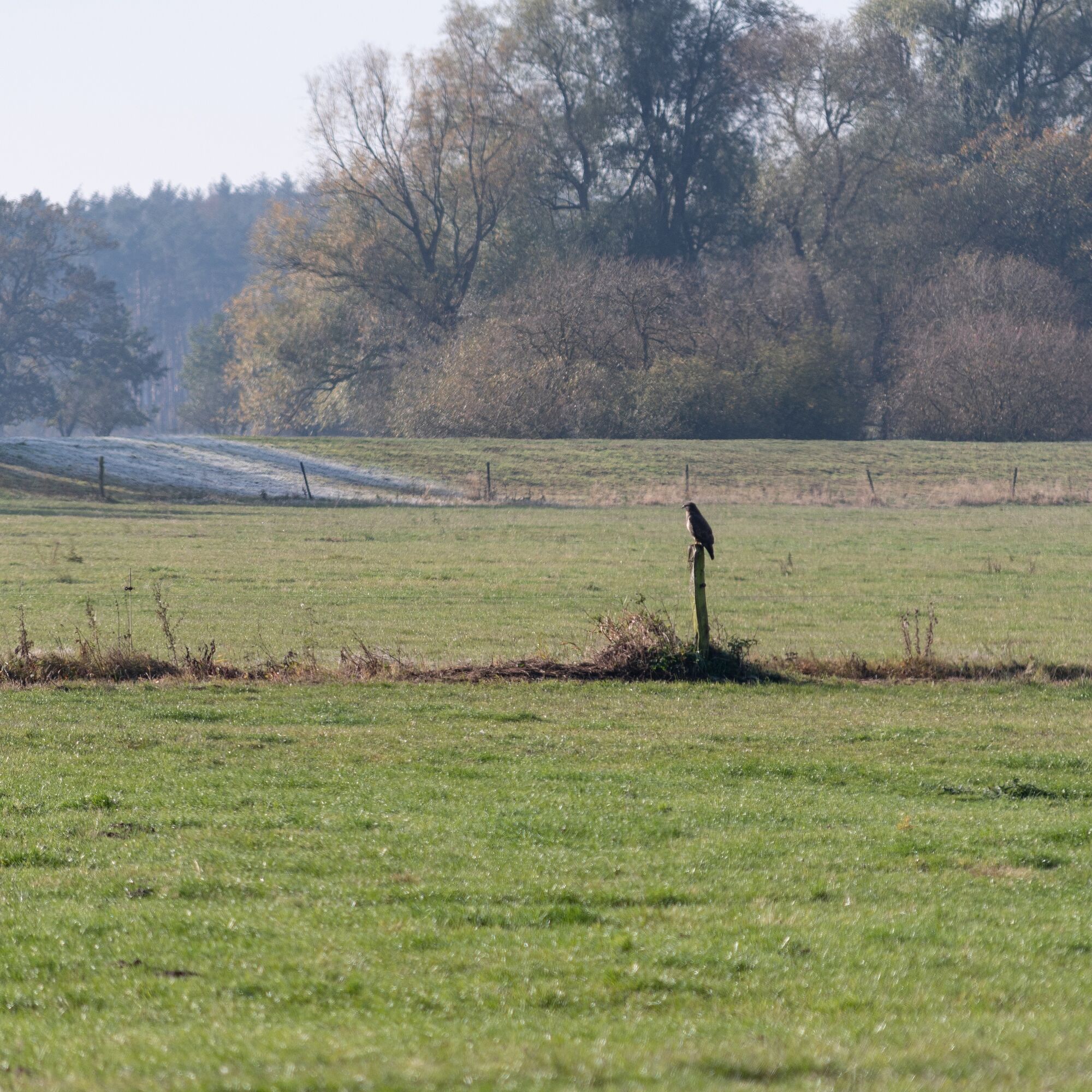
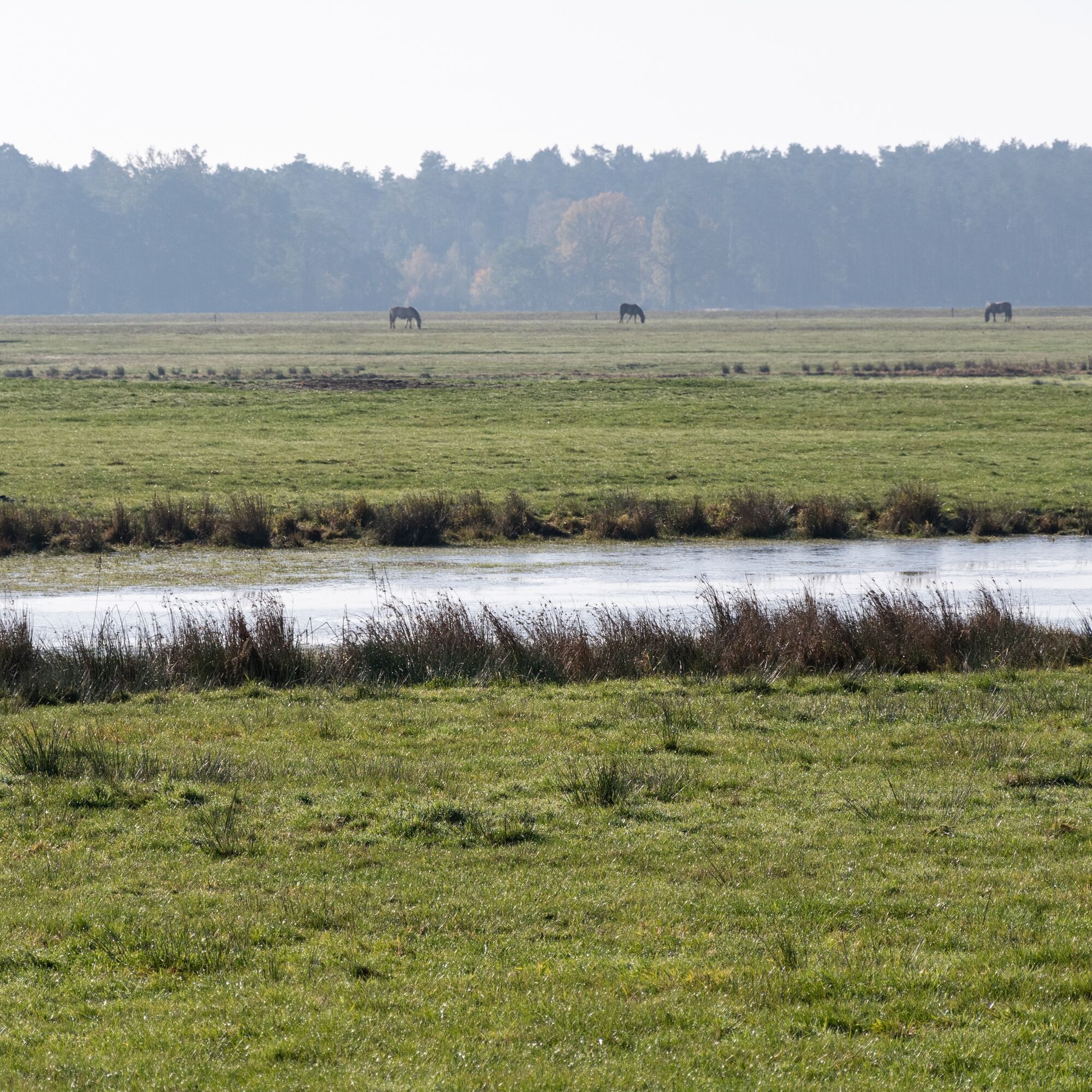
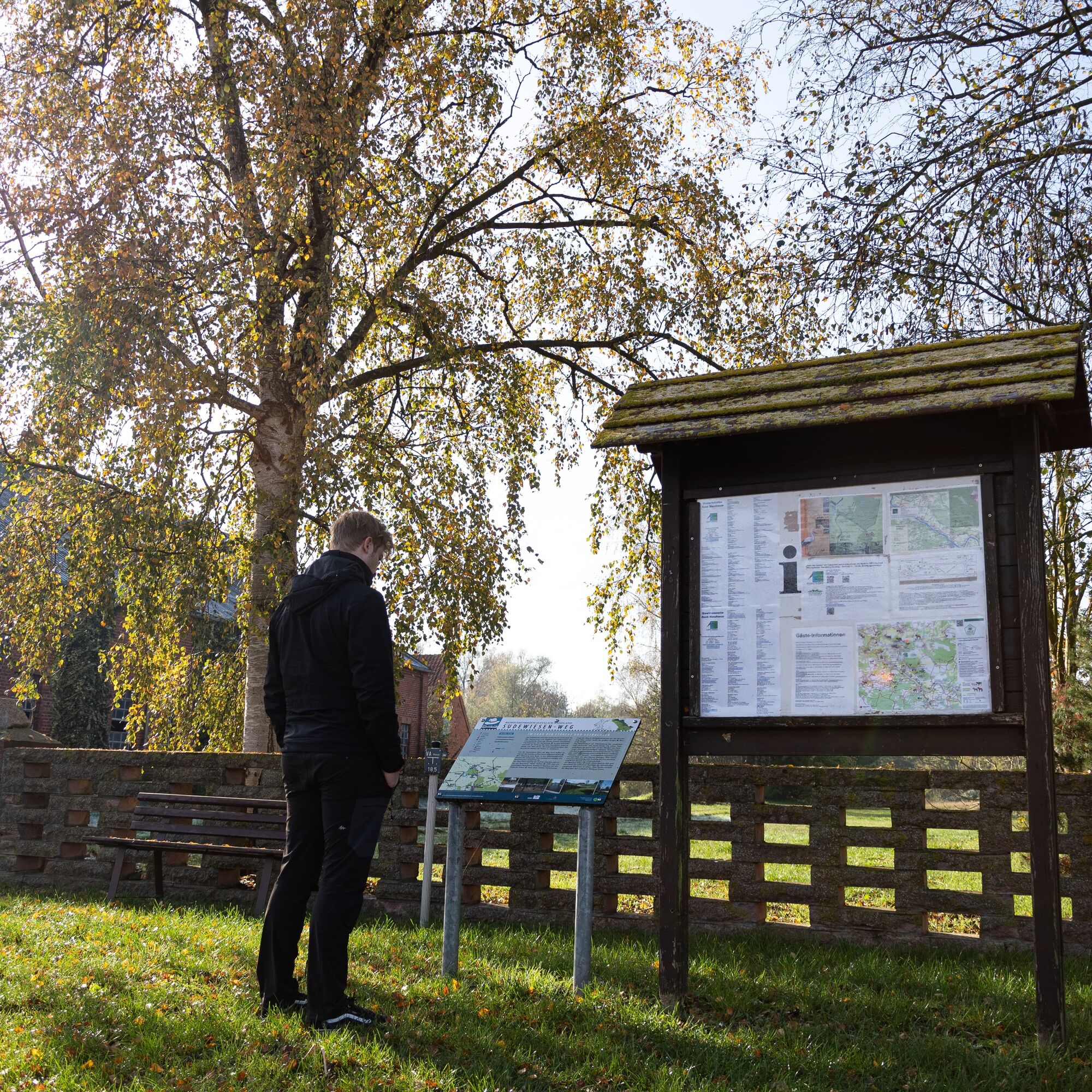
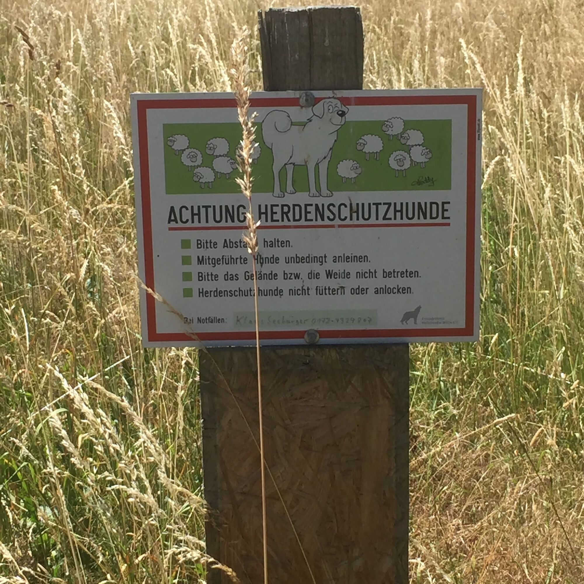
The recommended route starting point is the Storkenkate in Preten. From Dorfstraße, turn right and start towards the Krainke. On the way, you will reach the Heinz-Sielmann-Kiekut observation platform. It offers a wide view over the Krainke meadows, where Heck cattle keep the meadows short so that the stork can find its food. At this transition from forest to open land, the grazing animals can be wonderfully observed. You follow the natural course of the river and then cross the village of Dellien. The path continues to the next river, the Rögnitz, which you get a great view of from the Sückauer Kiekut. From Sückau, you walk right on the road to Preten, passing a fence for about 50 meters, then turn left to get back onto the main path after about 25 meters. (Unfortunately, the existing signage at this point is somewhat confusing and will be revised.) Please note that the further route is grazed by sheep from time to time. Behind the sheep enclosure are also livestock guardian dogs that react to other dogs to protect their herd. Please keep your own dogs on a leash and, if necessary, take a wide detour around the herd. Depending on your dog's behavior, please otherwise avoid this section. Soon you will have Preten, and thus the starting point of the hike, back in sight.
There is a shortcut on the route. It is marked with a white triangle on a red background. The route length is reduced by about half.
Ano
Sturdy footwear and a rain jacket are recommended!
Make sure you have enough fluids and provisions with you!
From Hamburg take the A24 (signposted towards Berlin/Schwerin/Lübeck/Bremen) to Zarrentin. From here take the B195 (signposted towards Zarrentin/Boizenburg) and immediately turn left onto Kronshof. Follow Kronshof, Caminer Str., L051, L05, and B195 to Amt Neuhaus.
From Berlin take the A10 (signposted towards Hamburg) and continue on the A24 (also towards Hamburg) to Wittenburg. From here take the L05 (towards Lehsen), L232, and B195 to Amt Neuhaus.
The nearest train station is Boizenburg, which is easily accessible from anywhere by train. From Boizenburg, take bus 510 (towards Neuhaus ZOB), which takes you directly to Amt Neuhaus. Get off at: Neuhaus ZOB
At certain times, these buses operate as RUF buses. You can reach the RUF buses by phone at +49 5841 977 377.
Parking is available on Dorfstraße in 19273 Amt Neuhaus
Coordinates:
Geographic: 53.318406, 10.9065225
UTM: 32U 626997 5909386
If you come at the right time and keep very still, you can be lucky enough to observe a beaver or even a fish otter on the Rögnitz.

Oblíbené prohlídky v okolí
Entlang der Grenze (V Grenzturm Darchau)
světloTuristika 8.02 kmAmt Neuhaus - die Arche mit Lust auf Vielfalt
středníJízda na kole 23.6 kmFischteichweg
světloTuristika 8.32 kmRiver Hopping am Elberadweg
středníJízda na kole 34.3 kmRadtour "ARCHE-NORD"
středníJízda na kole 36.4 kmWaldweg
světloTuristika 5.19 kmGrenzrundweg
světloDalší 2.42 kmDurch die Feldmark (VI Dahlenswinder)
světloTuristika 11.7 kmVerbindung B der Wege I / III und VI
světloTuristika 4.52 kmEntlang der Krainke (III Krainke)
středníTuristika 10.6 km
Pěší turistika a stopování


Nenechte si ujít nabídky a inspiraci pro vaši příští dovolenou
Vaše e-mailová adresa byl přidán do poštovního seznamu.