


Biosphere Crossing
Úroveň obtížnosti: 1
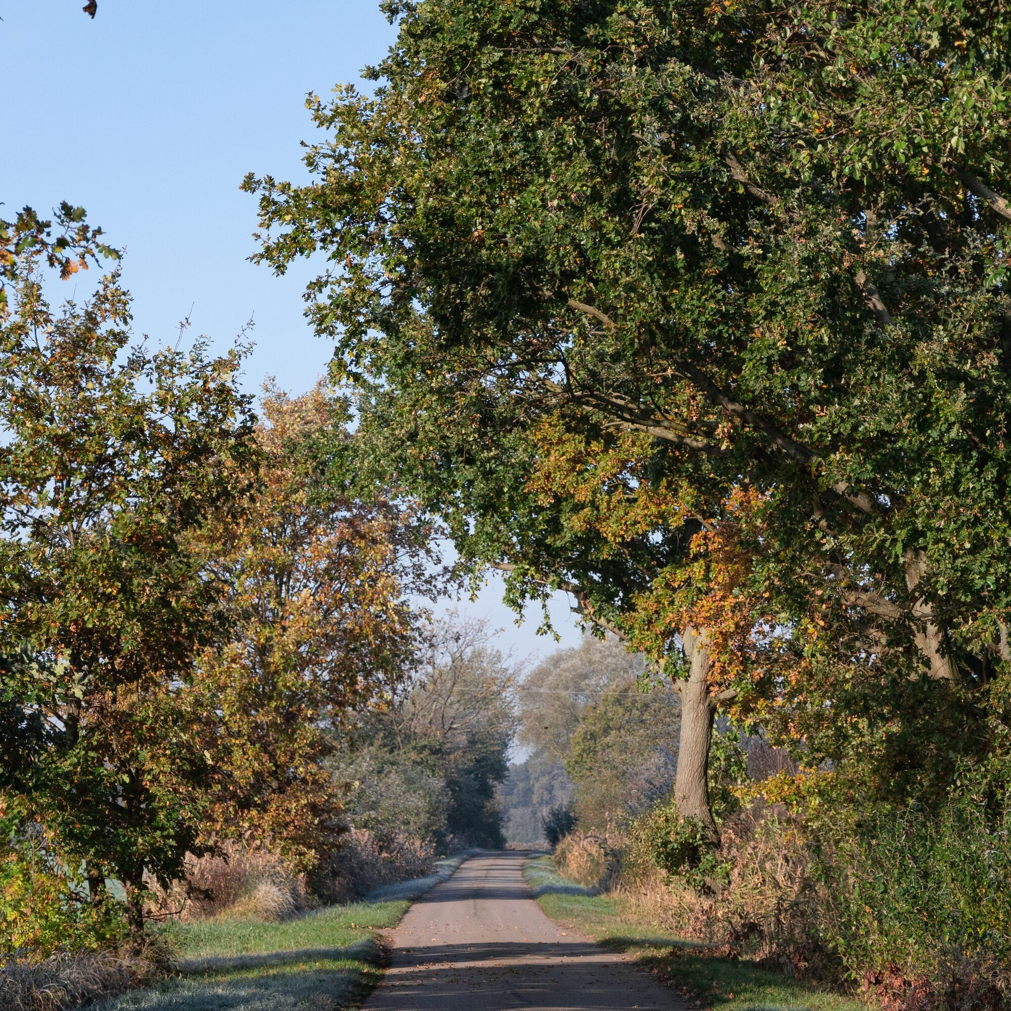
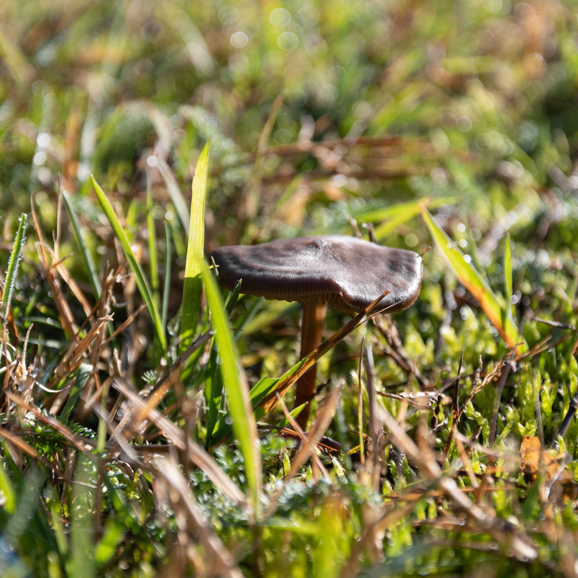
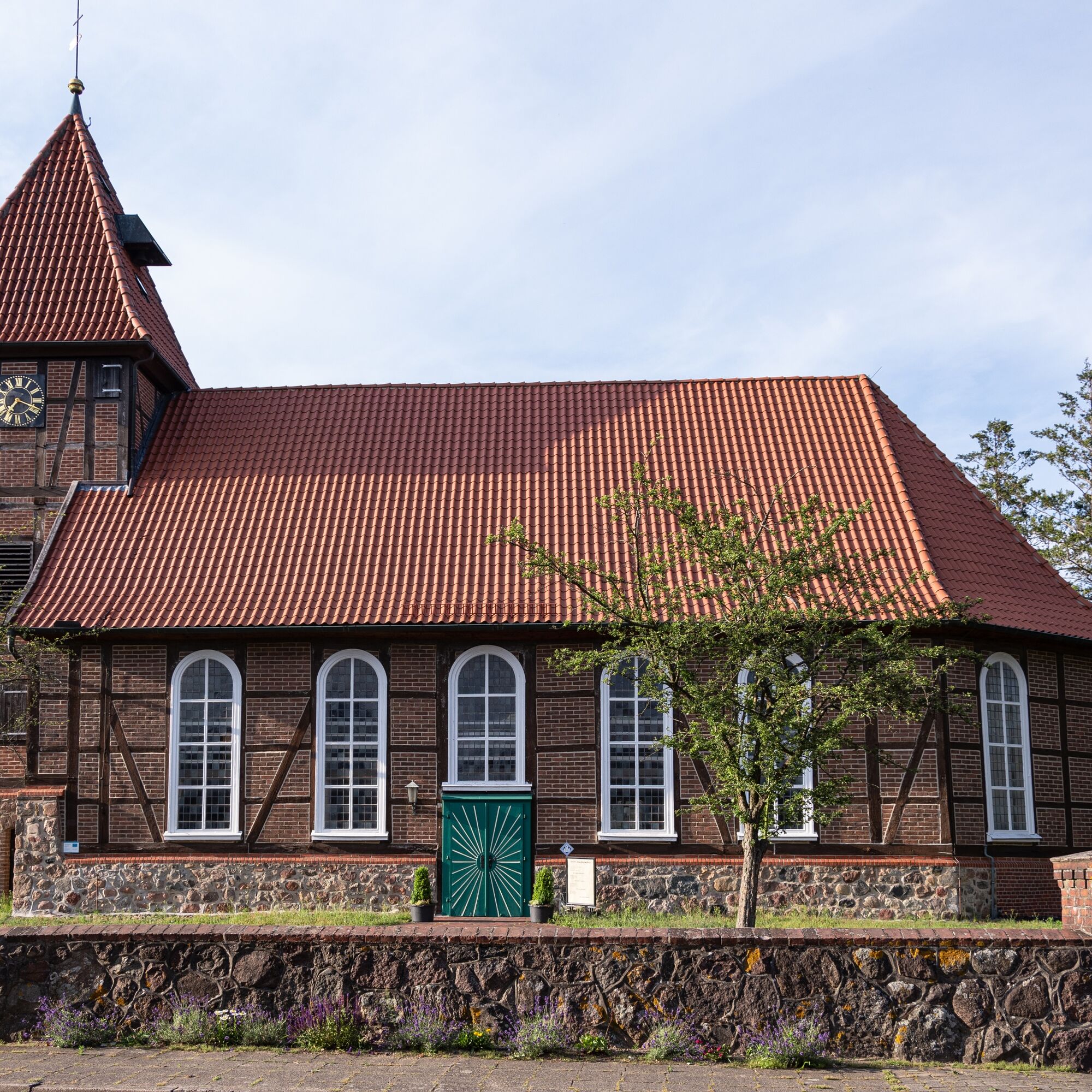
From station to station, the Biosphere Crossing takes you by bicycle saddle straight through the Elbe glacial valley. The route leads you right through fields and meadows between Brahlstorf and Dahlenburg....
From station to station, the Biosphere Crossing takes you by bicycle saddle straight through the Elbe glacial valley. The route leads you right through fields and meadows between Brahlstorf and Dahlenburg. In the wet Sudewiesen near Preten, Heck cattle (aurochs) and wild Konik horses help preserve this valuable open landscape. This also benefits the stork and other endangered animal species that feel very much at home here. You can experience the history of the former inner-German border up close in the marsh-hufe villages Konau and Popelau. The ferry crossing over the Elbe is also worthwhile. On this route through the Biosphere Reserve 'Lower Saxon Elbe Valley,' it becomes clear: the Elbe river landscape is a natural landscape, shaped by humans for centuries, in which nature, however, has had enough space to develop. On the Biosphere Crossing, you experience the full diversity of this unique spot on earth, far from highways and large cities!

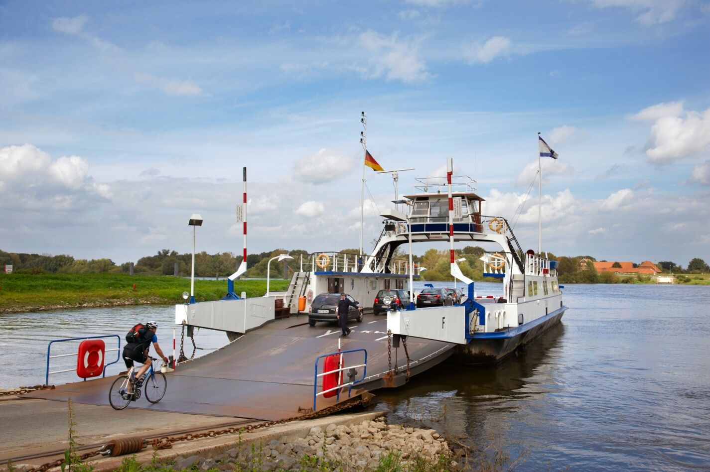
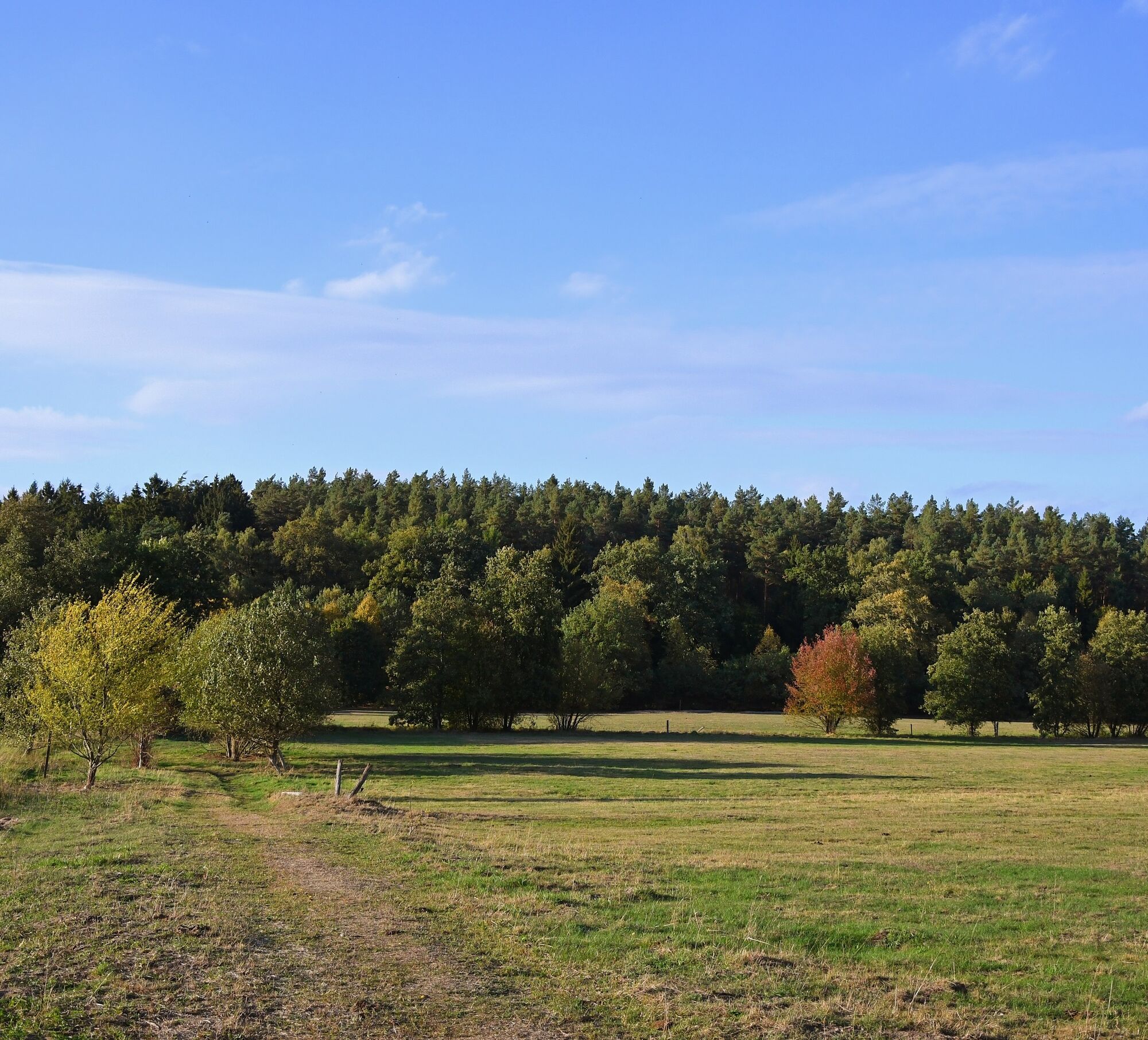
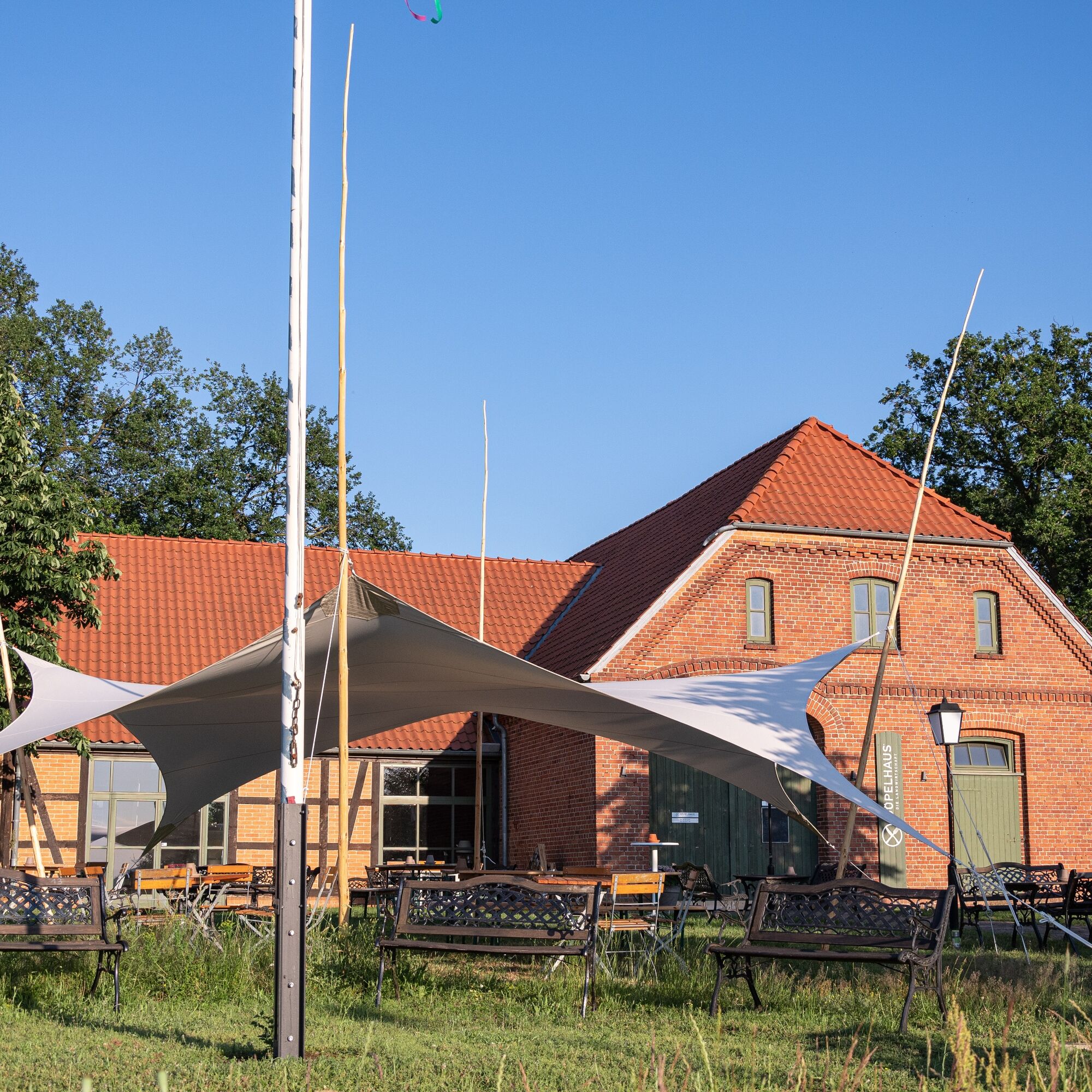
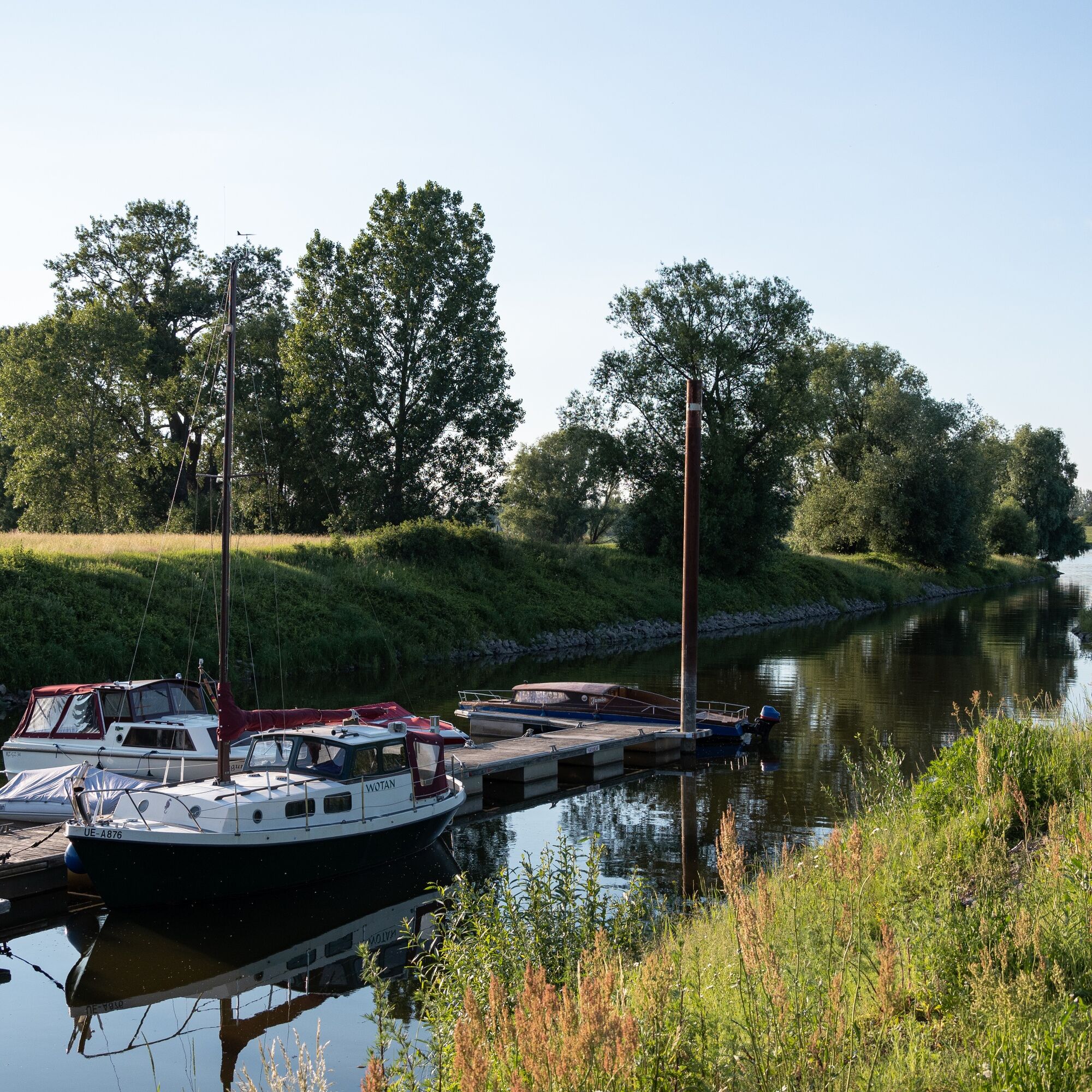
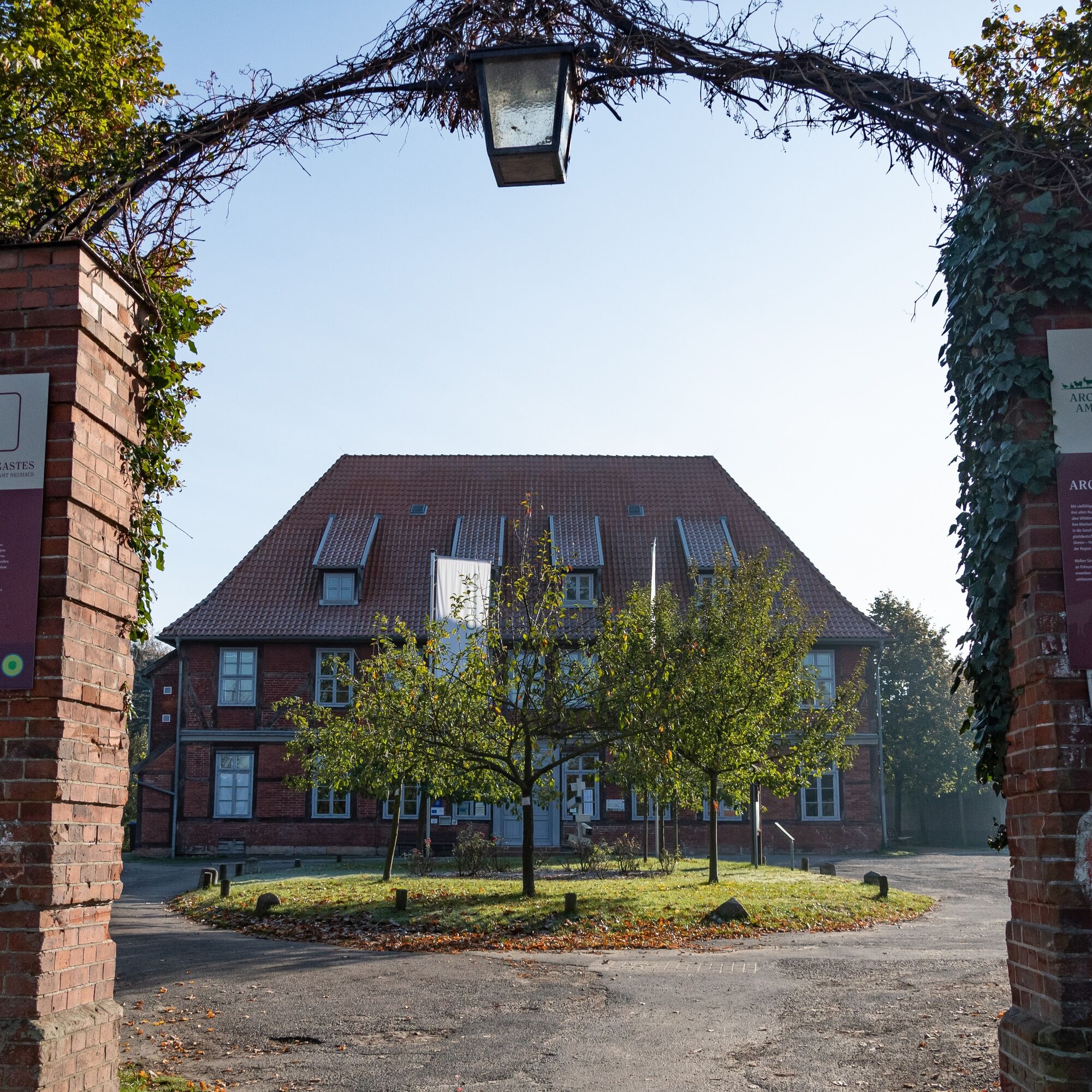
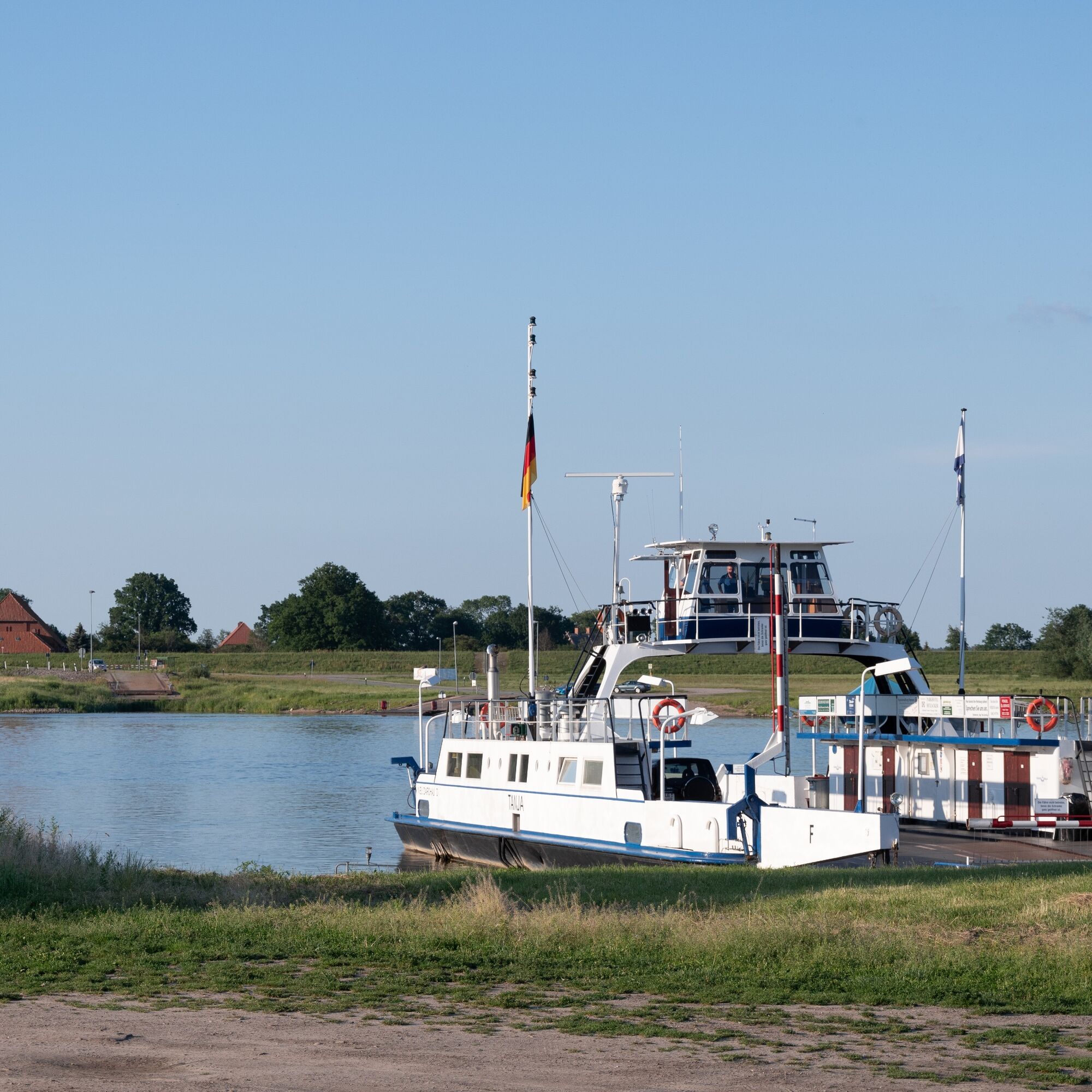
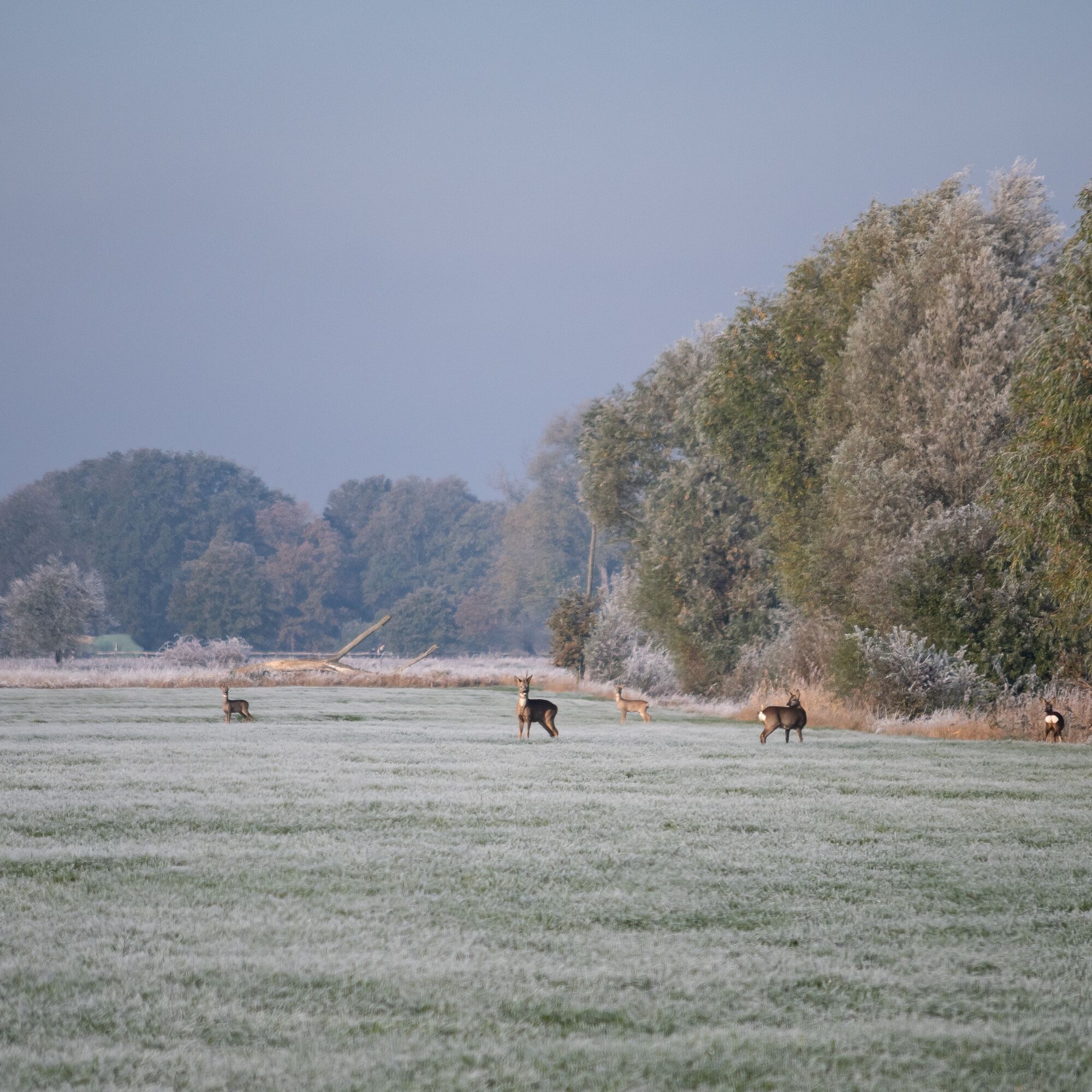
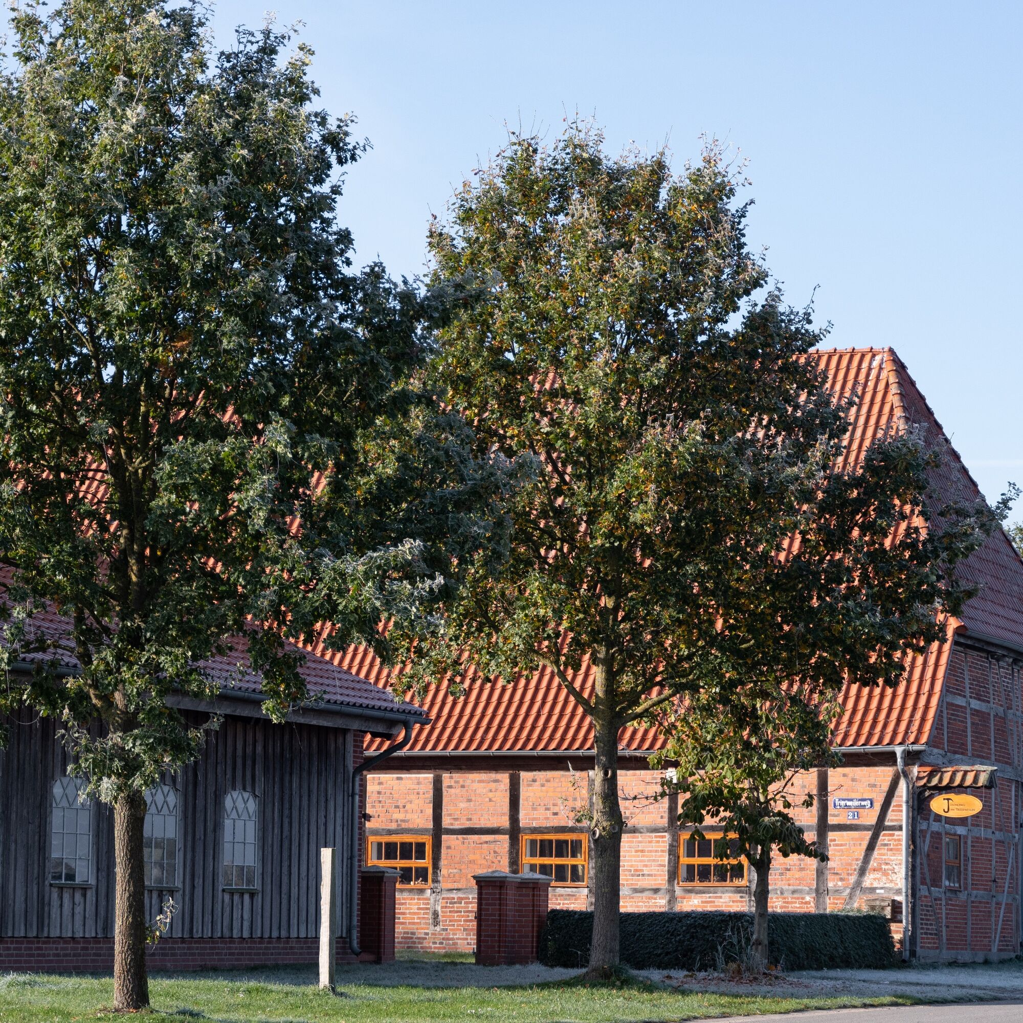
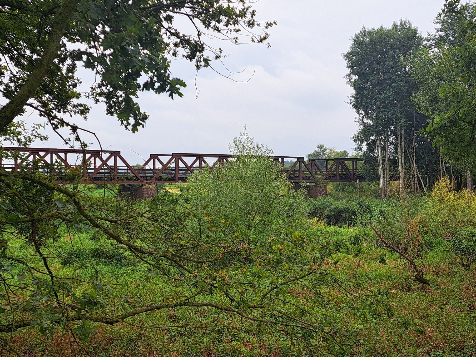
From Dahlenburg station, you start the Biosphere Crossing initially in the direction of Dahlenburg. Then continue through Buendorf heading east until you reach the small village of Pommoißel. There, turn left onto Pommoißeler Straße and cross a railway track. Passing Neestahl and Kovahl, you head to Ventschau. Here, keep right and follow the path past the Darzauer Mill and along the Kateminer Mill Brook. Beyond Katemin and Neu Darchau, you reach the Elbe and cross it by ferry. The path then turns left, after which you follow Elbstraße in a large curve to Haar and further to Amt Neuhaus. Beyond the town, it goes left into the forest, past Dellien and then into the Sudewiesen near Preten. Watch out here for storks, aurochs, and Konik horses that live here! You now cross the Sude and continue straight on to Bahlstorf. Upon arrival at the station, you have reached the end of your Biosphere Crossing.
Ano
Ano
You should always carry a bicycle pump and repair kit in case your tire loses air!
Always pay attention to your safety and wear a bicycle helmet!
From Hamburg, follow the A1 (signposted towards Bremen), A39 (signposted towards Lüneburg), and from Lüneburg the B216 to Dahlenburg.
From Berlin, take the A10 (signposted towards Hamburg) and continue on the A24 (also towards Hamburg) and A14 to Ludwigslust. From there, follow the B191 to Dannenberg and via the B126 continue to Dahlenburg.
Lüneburg station is easily accessible by train from all directions. From there, take the RB32 to Dahlenburg.
Parking lot at the tourist information center of the Dahlenburg collective municipality
Am Markt 17, 21368 Dahlenburg
Coordinates:
Geographic: 52.889353, 10.894725
UTM: 32U 627474 5861643
1
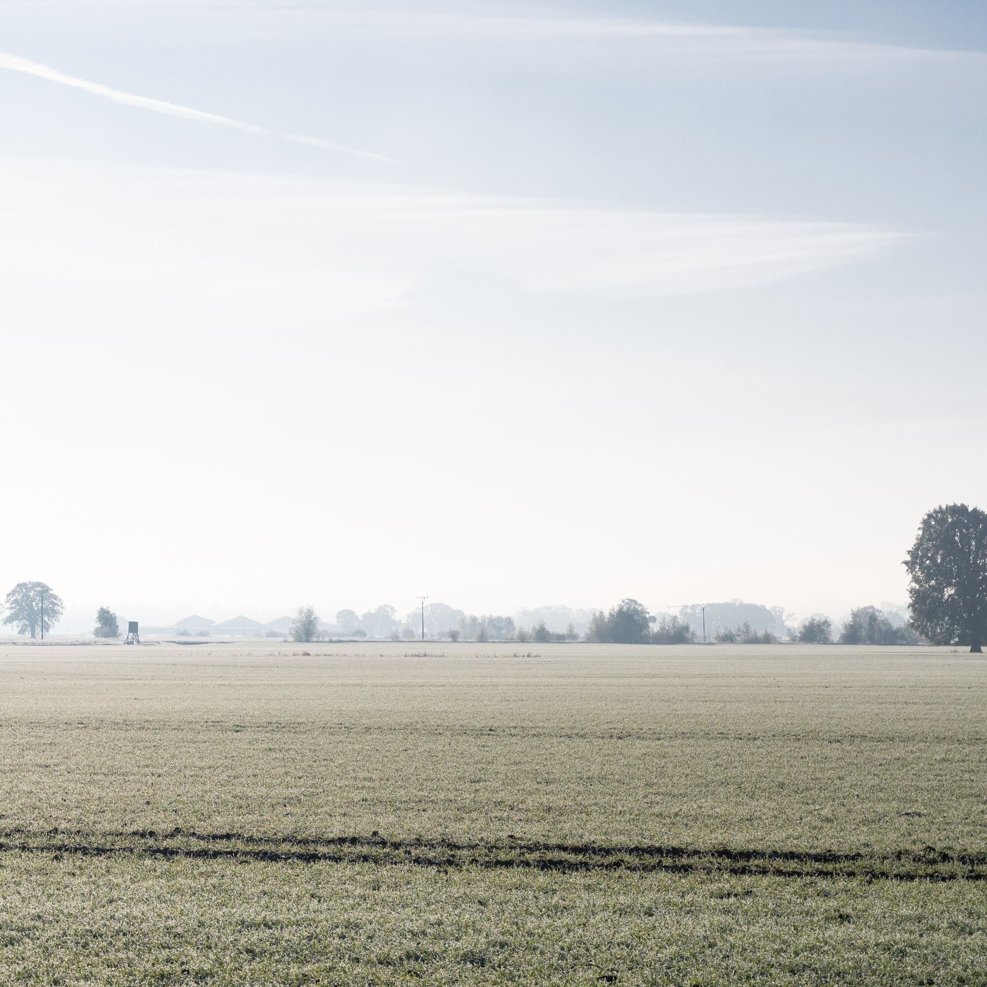
From the viewing platforms in the Sudewiesen, you can wonderfully observe the local wildlife of the wet meadows there.
Oblíbené prohlídky v okolí
-
Wandering Dunes Path
světloTuristika 7.56 km -
Elbe-Katemin-Way
středníTuristika 23.3 km -
Elbhöhen route
světloJízda na kole 34.5 km -
2.0
Sudewiesen-Weg
heavyTuristika 13.0 km -
Vogelkieker-Route
středníJízda na kole 48.9 km -
Gentle mighty trees route
světloTuristika 1.94 km -
Entlang der Grenze (V Grenzturm Darchau)
světloTuristika 8.02 km -
Naturlehrpfad Naturum Göhrde
světloTuristika 4.99 km -
Klötzie-Stieg
heavyTuristika 29.2 km -
Radtour "ARCHE-NORD"
středníJízda na kole 36.4 km

Pěší turistika a stopování


Nenechte si ujít nabídky a inspiraci pro vaši příští dovolenou
Vaše e-mailová adresa byl přidán do poštovního seznamu.