
Glacier route Val Roseg
heavy
Pořiďte si tuto prohlídku do mobilního telefonu
Glacier route Val Roseg
heavy
Trailrunning
33.69
km
Naskenujte QR kód a spusťte navigaci v aplikaci bergfex.


Pěší turistika a stopování





Glacier route Val Roseg
heavy
Vzdálenost
33.7
km
Doba trvání
04:20
h
Ascent
988
hm
Hladina moře
1773 -
2748
m

Navigujte po trase v aplikaci
Nainstalujte si aplikaci zdarma a mějte trasu vždy na očích díky GPS navigaci a sledování polohy.
Využijte nyní službu „ bergfex “ v aplikaci
Naskenuj QR kód pomocí fotoaparátu
Jakmile je aplikace nainstalována, obsah se otevře přímo. Pokud aplikaci ještě nemáš, budeš přesměrován na stránku, kde si ji můžeš zdarma stáhnout.
Stažení skladby
Glacier route Val Roseg
heavy
Trailrunning
33.69
km
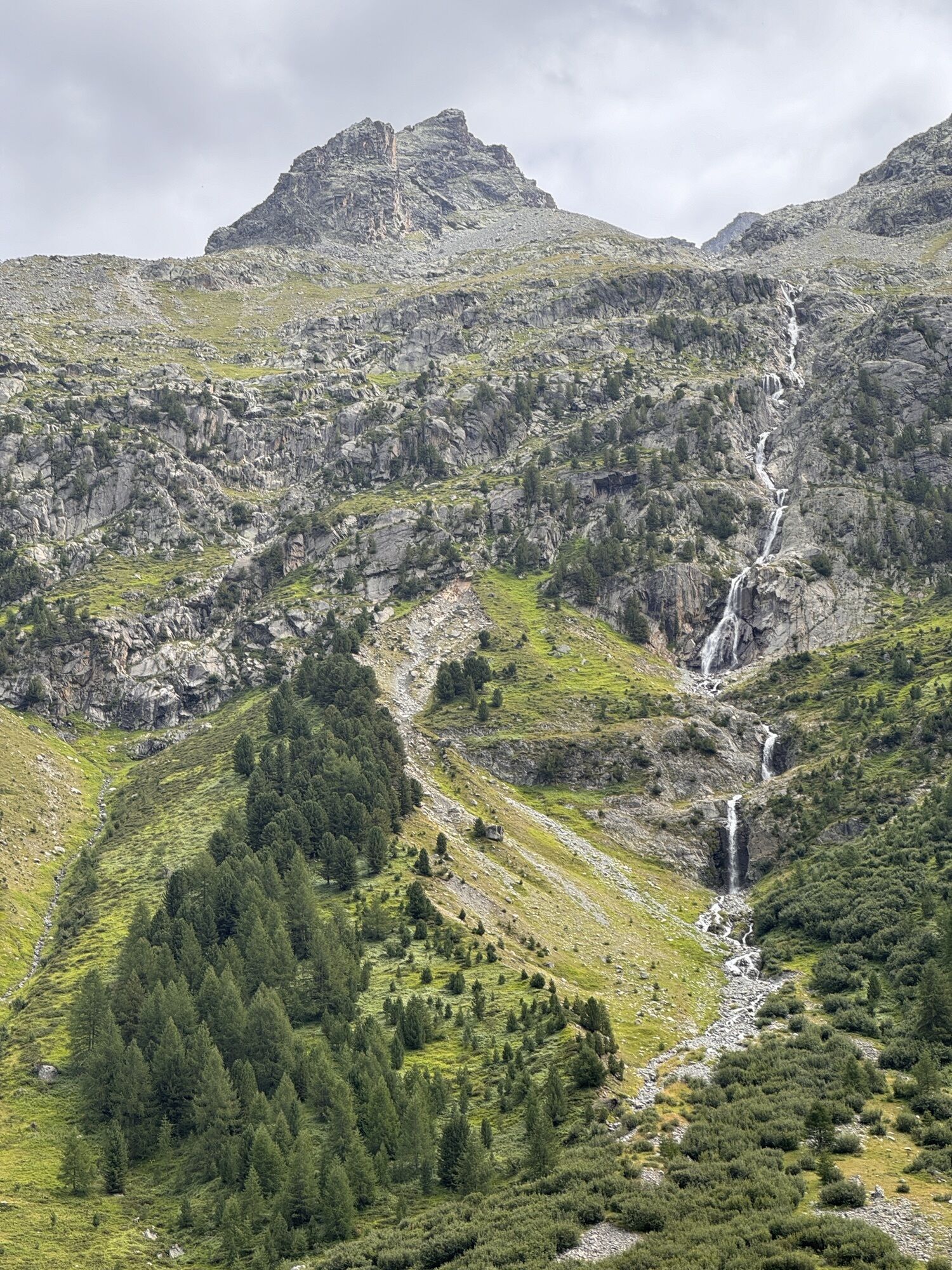
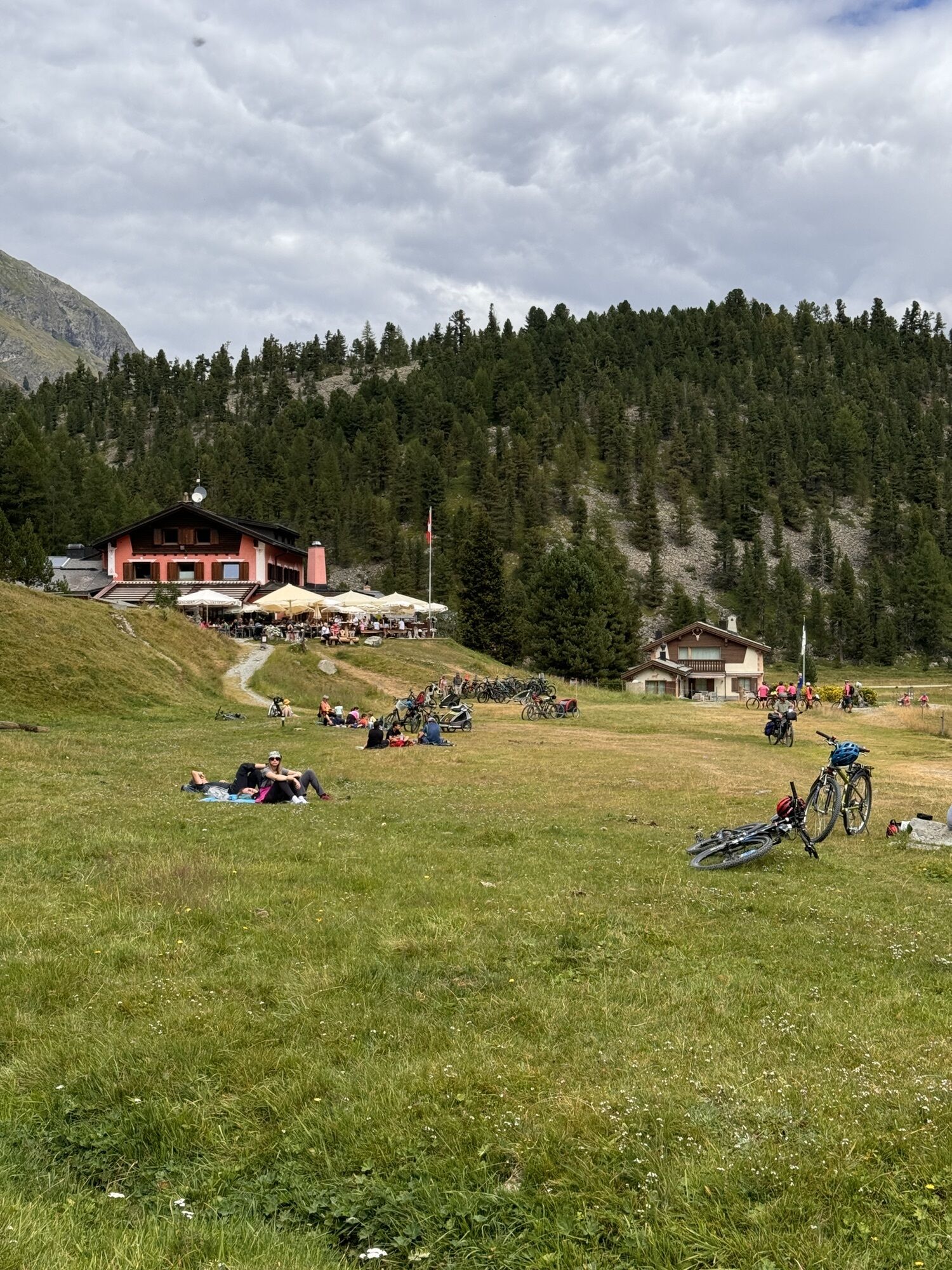
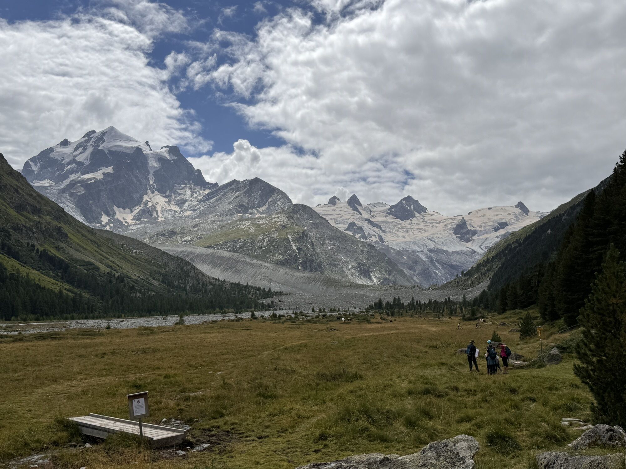
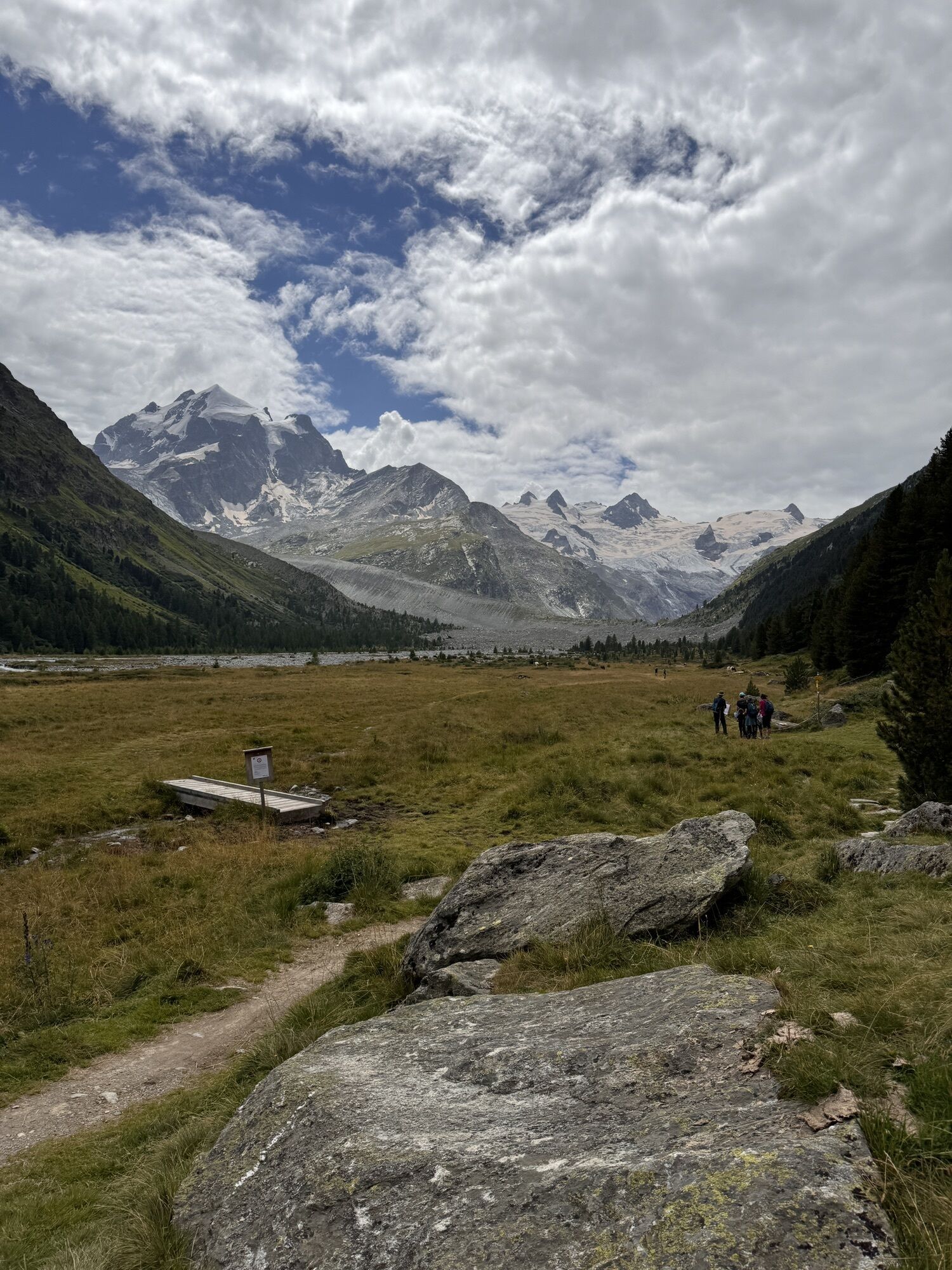
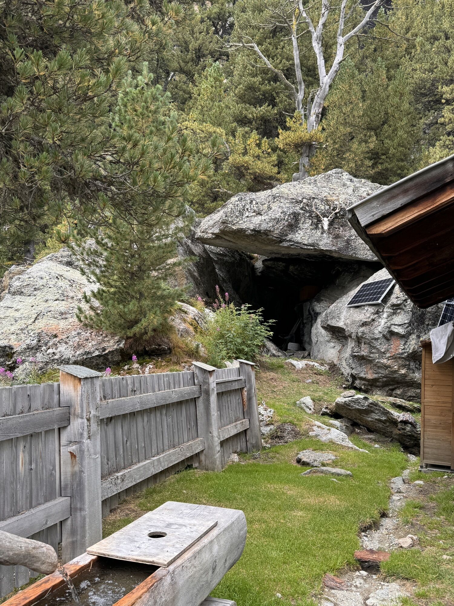
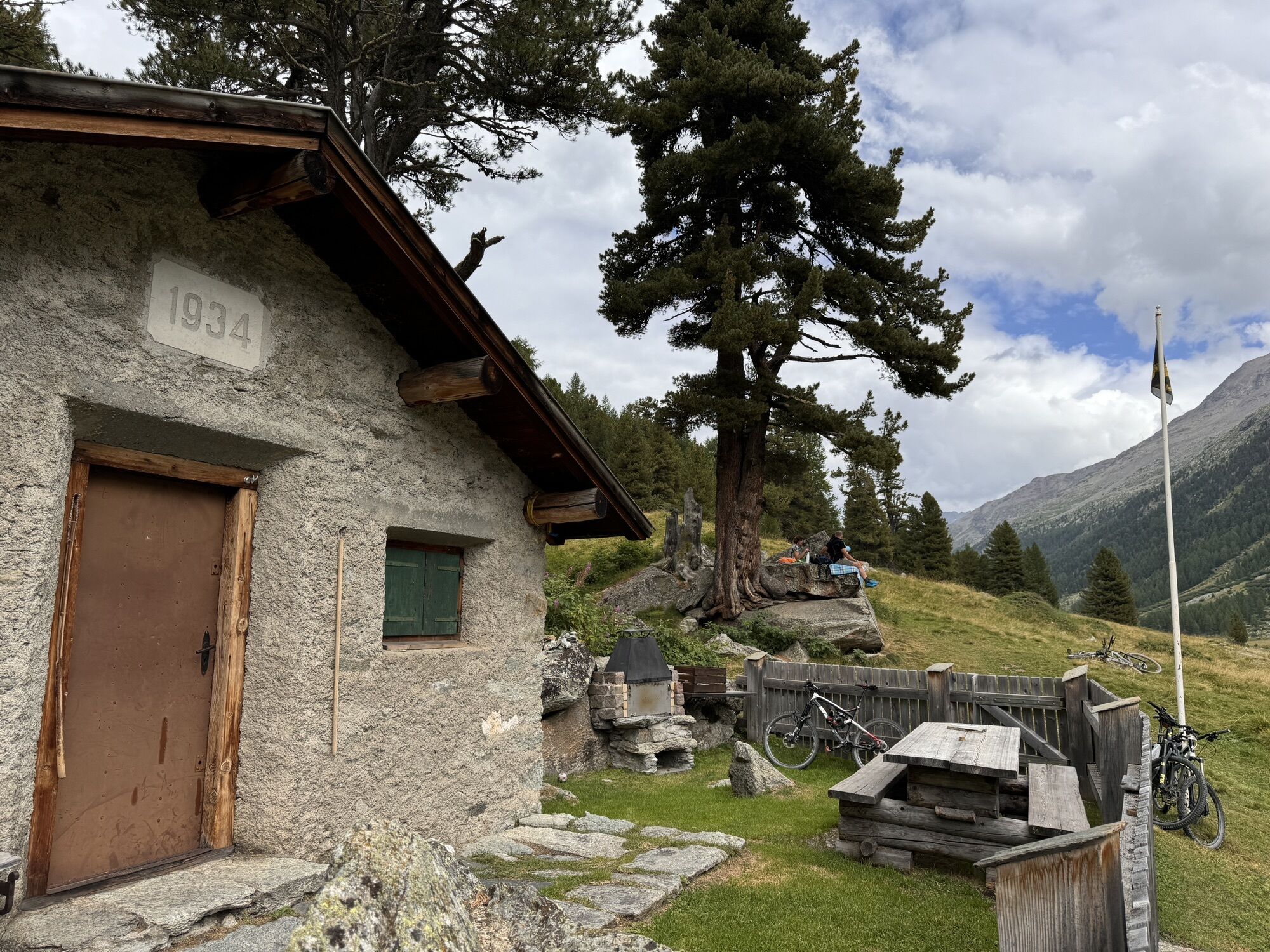
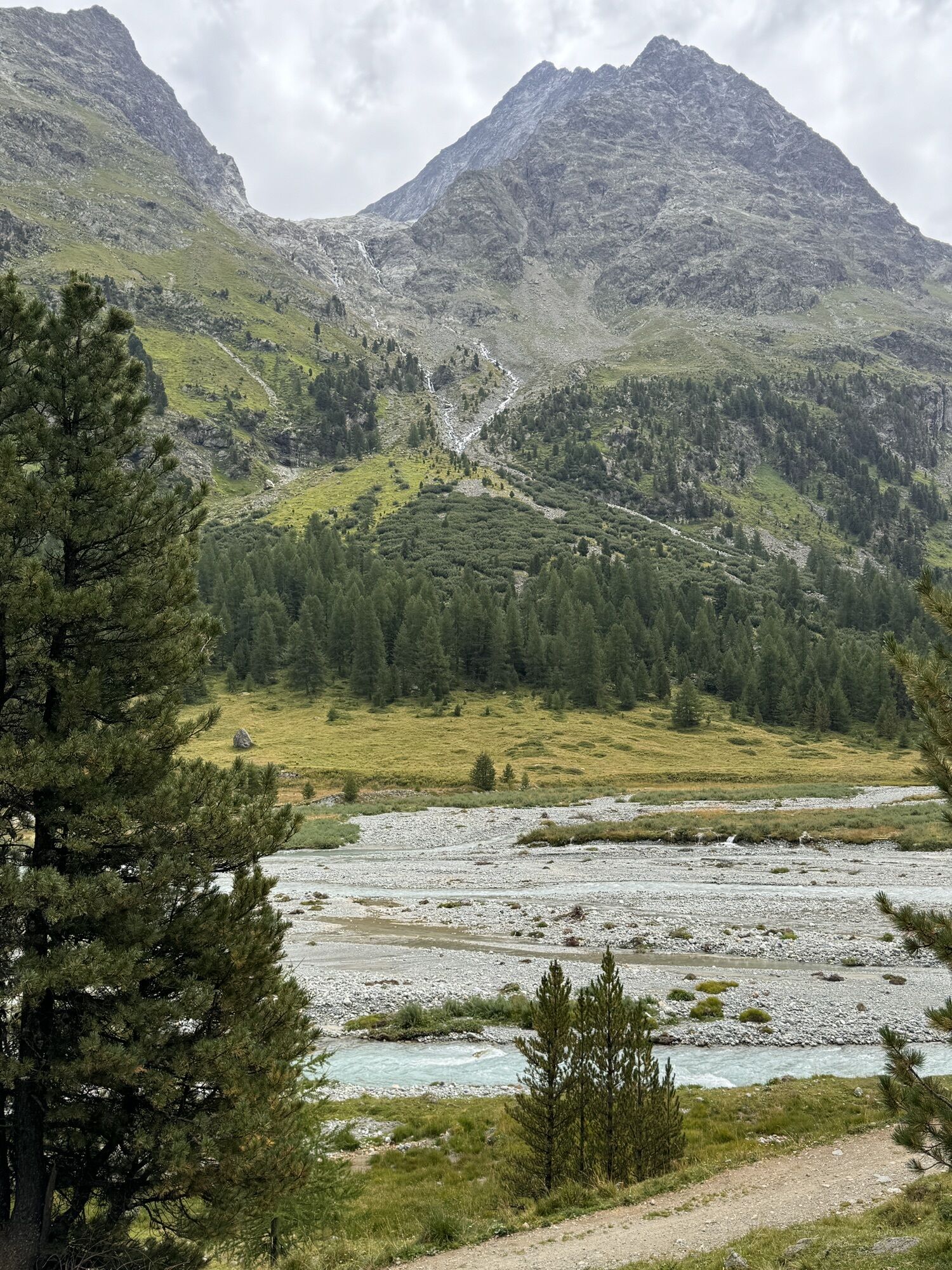
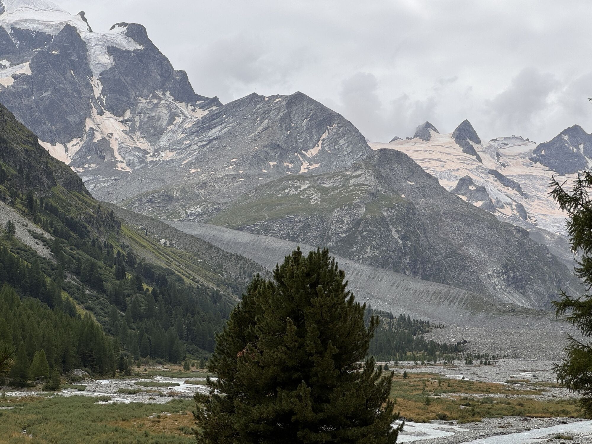
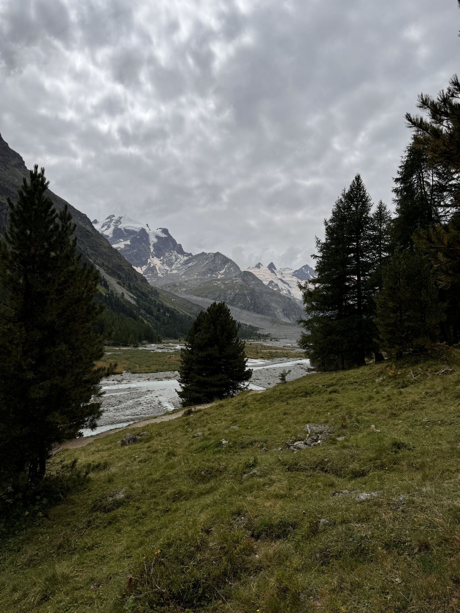
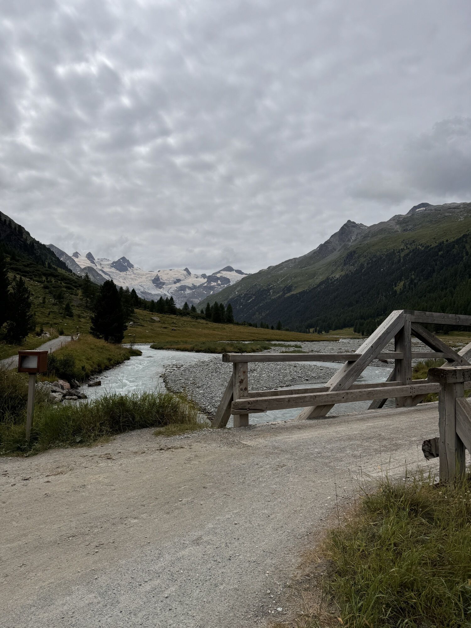
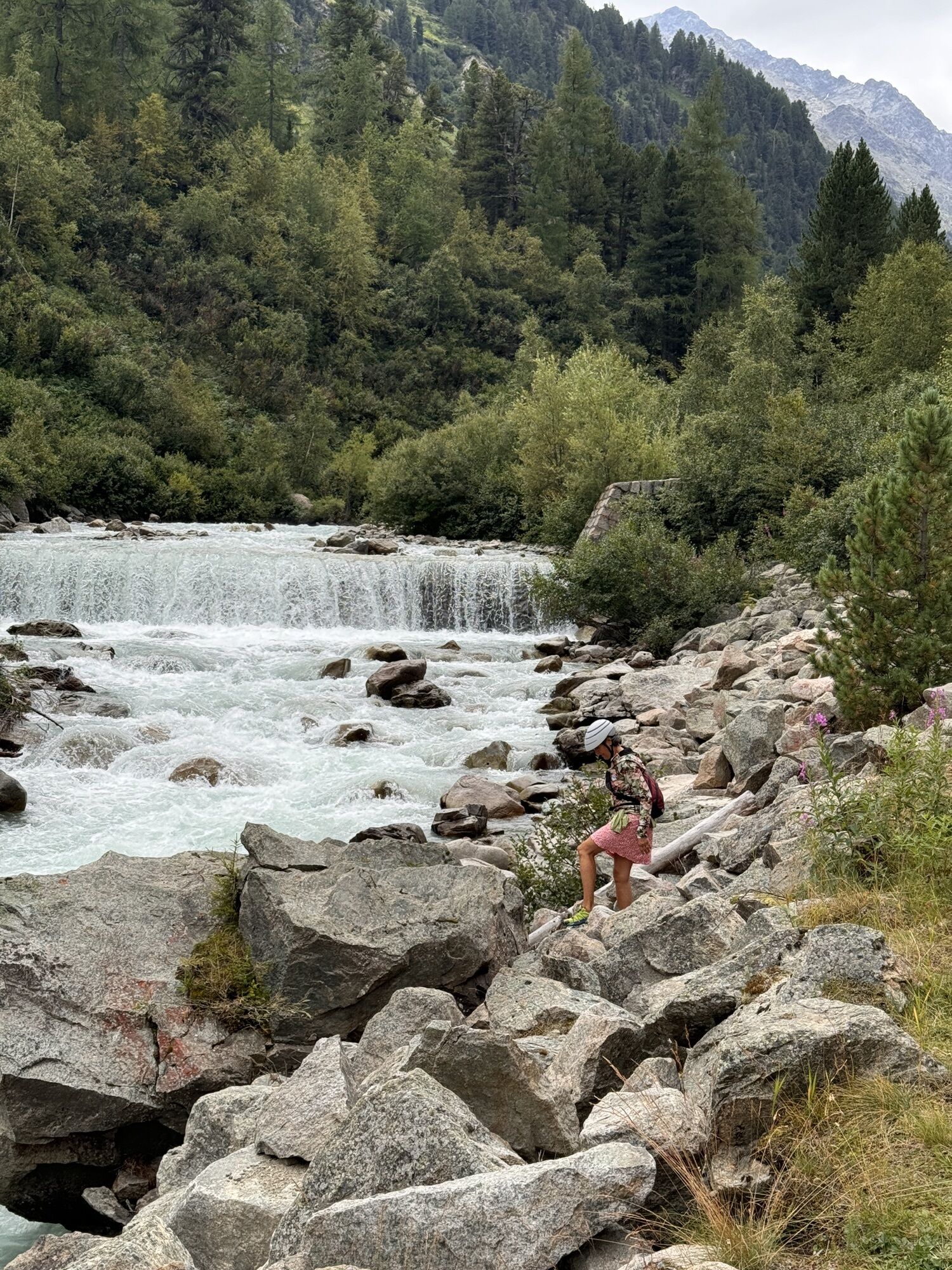
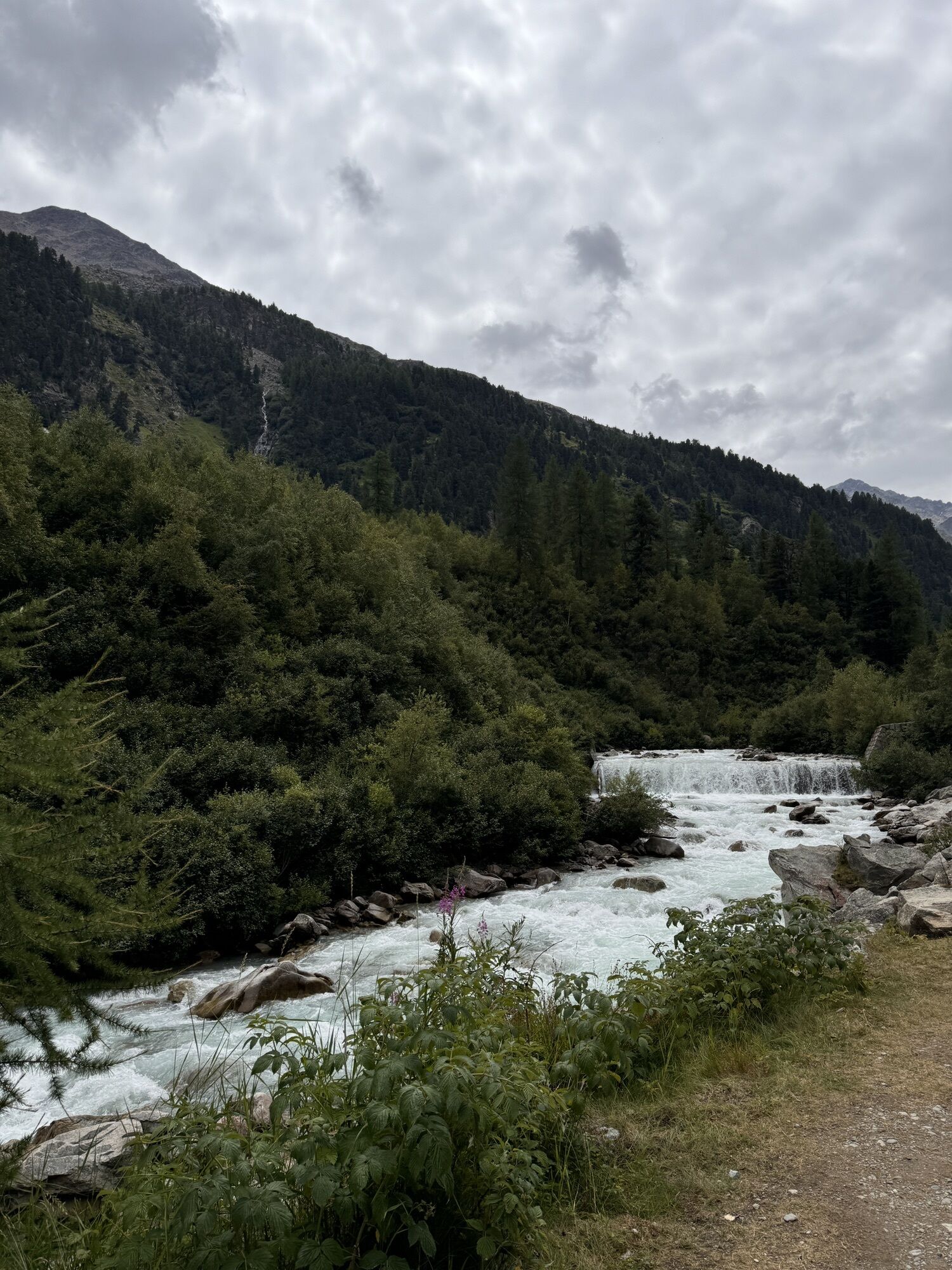
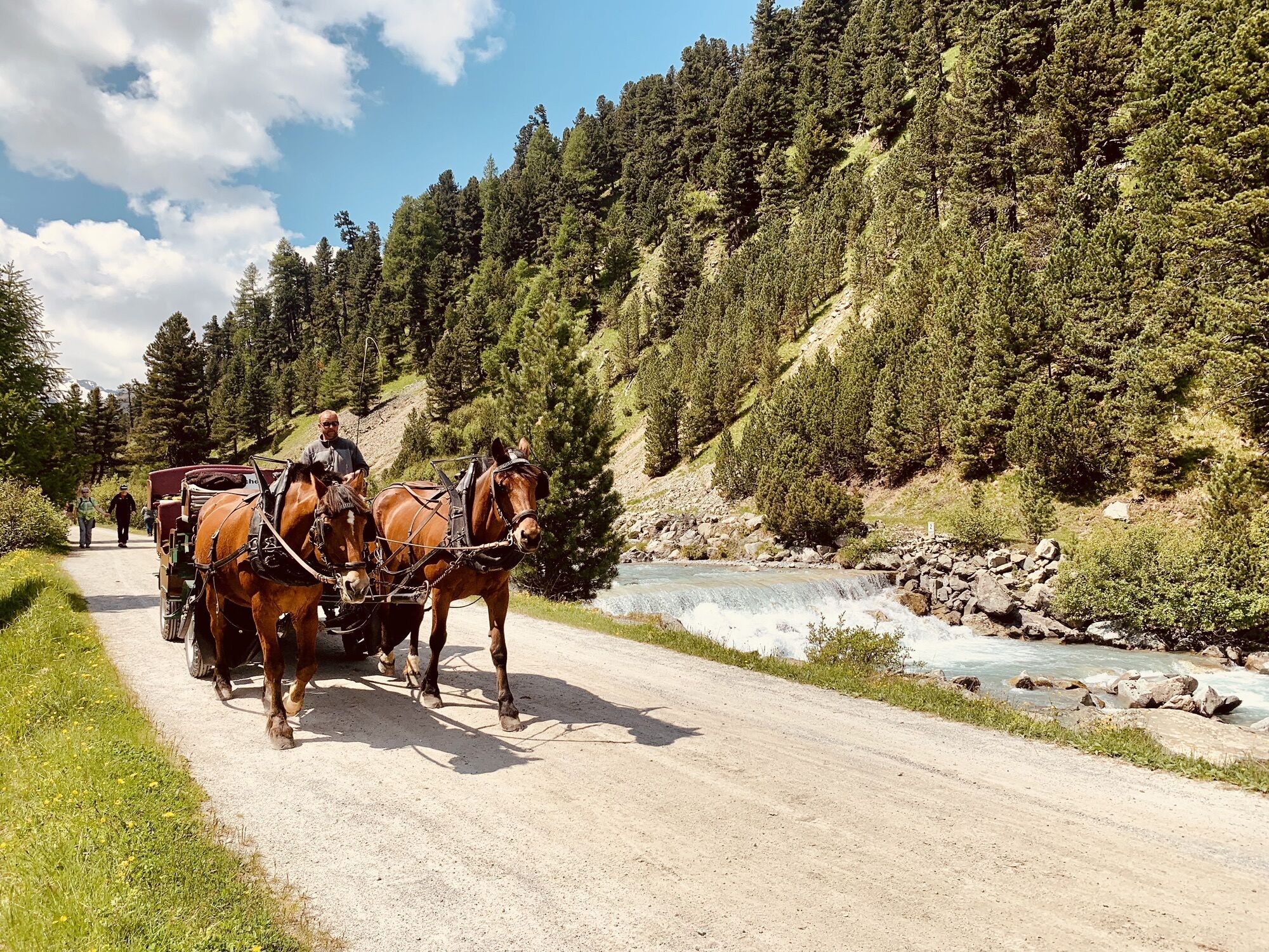
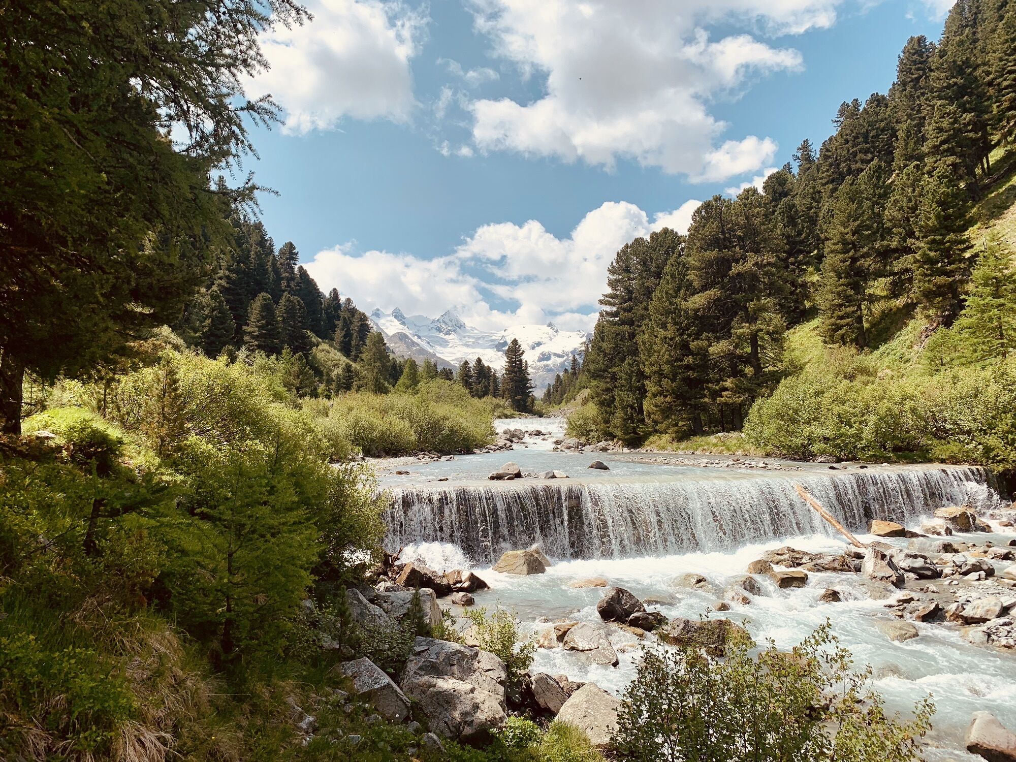
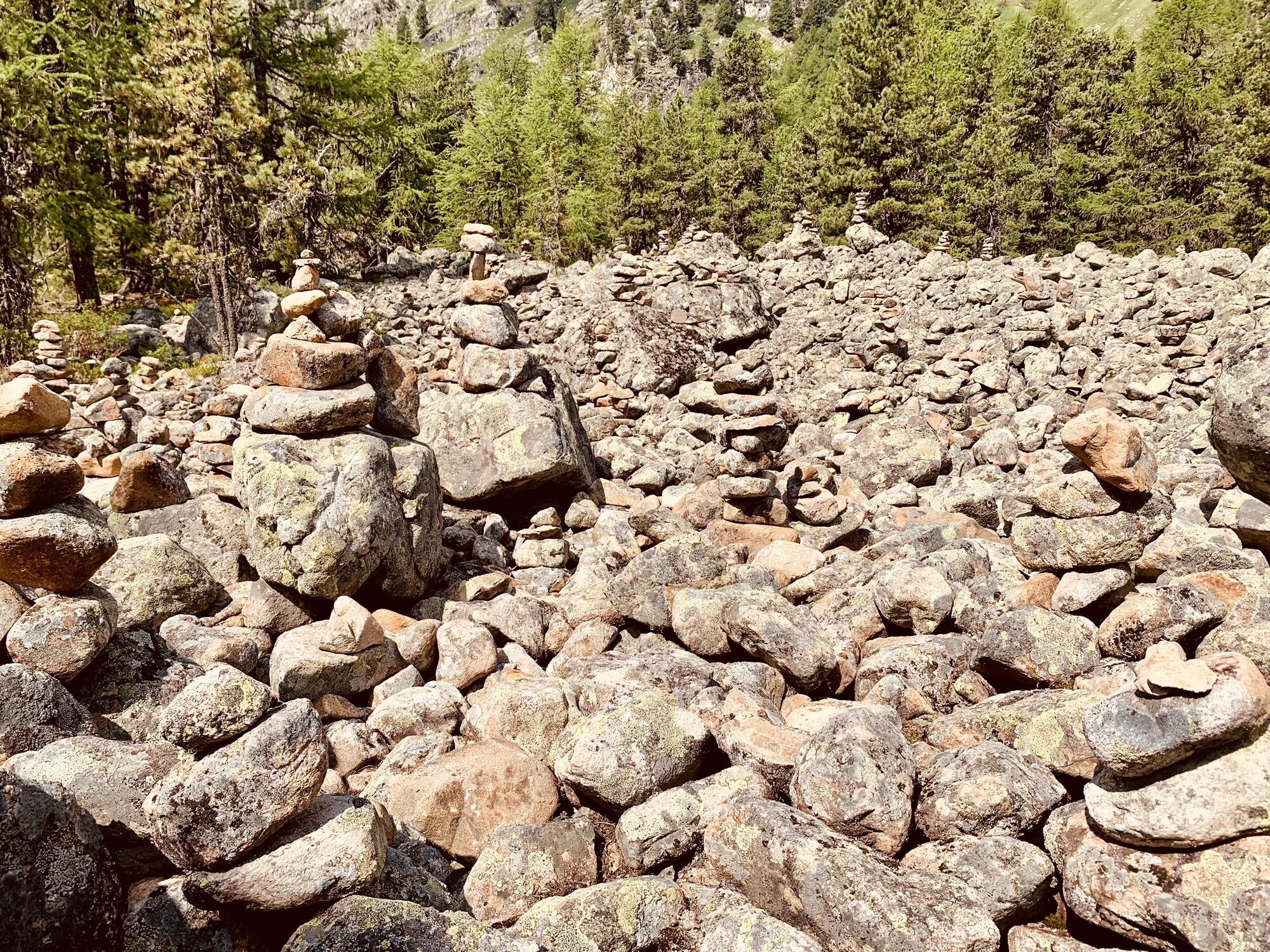
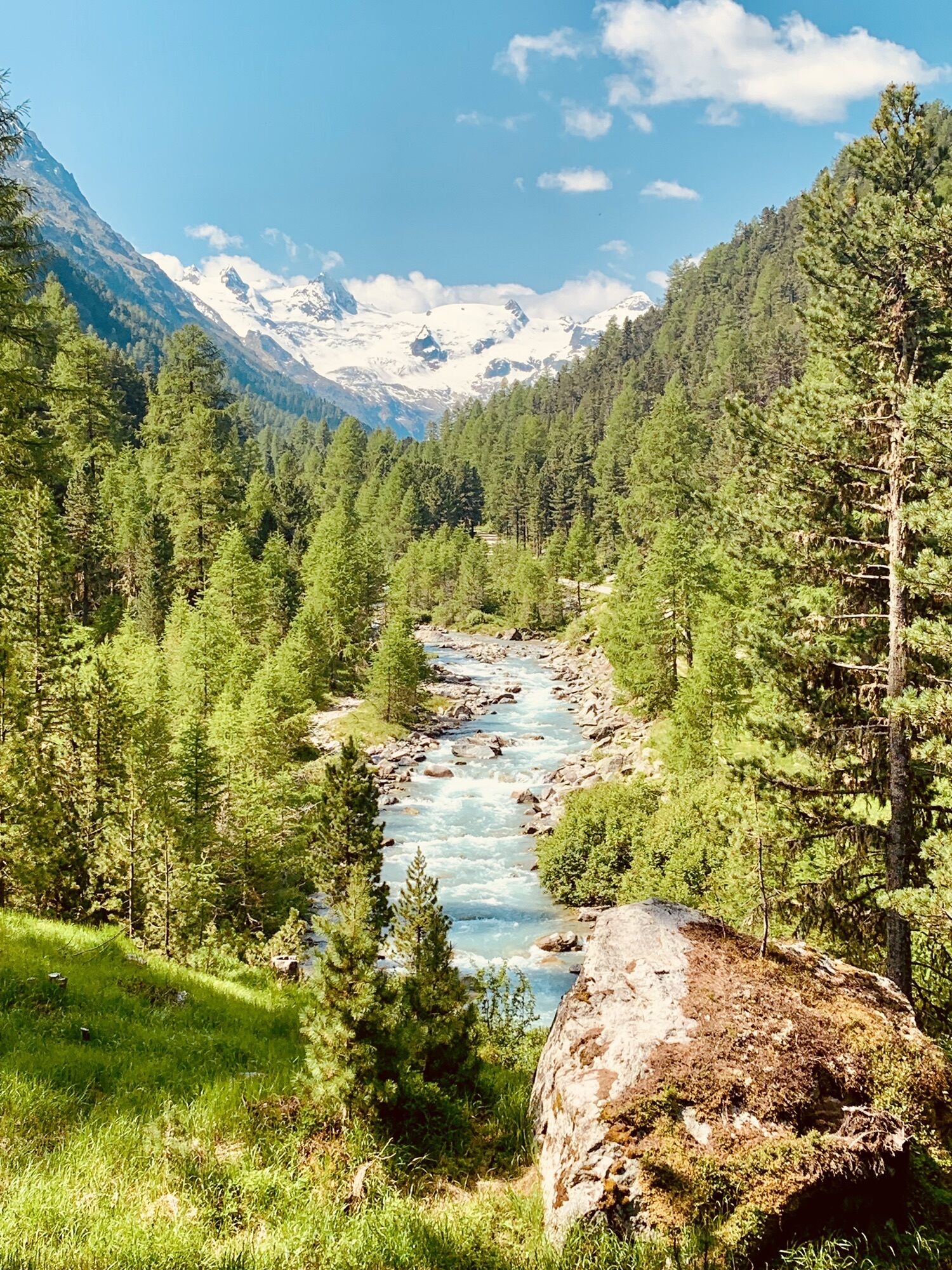
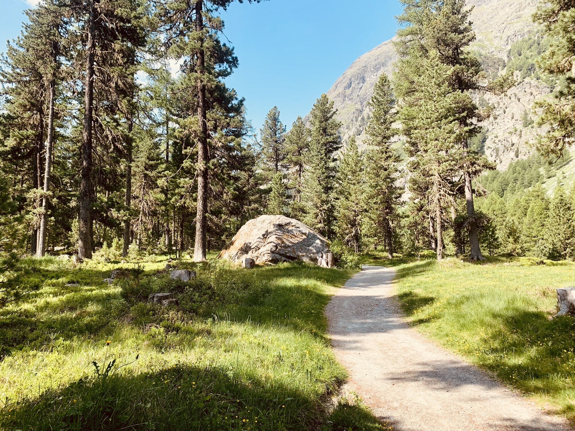
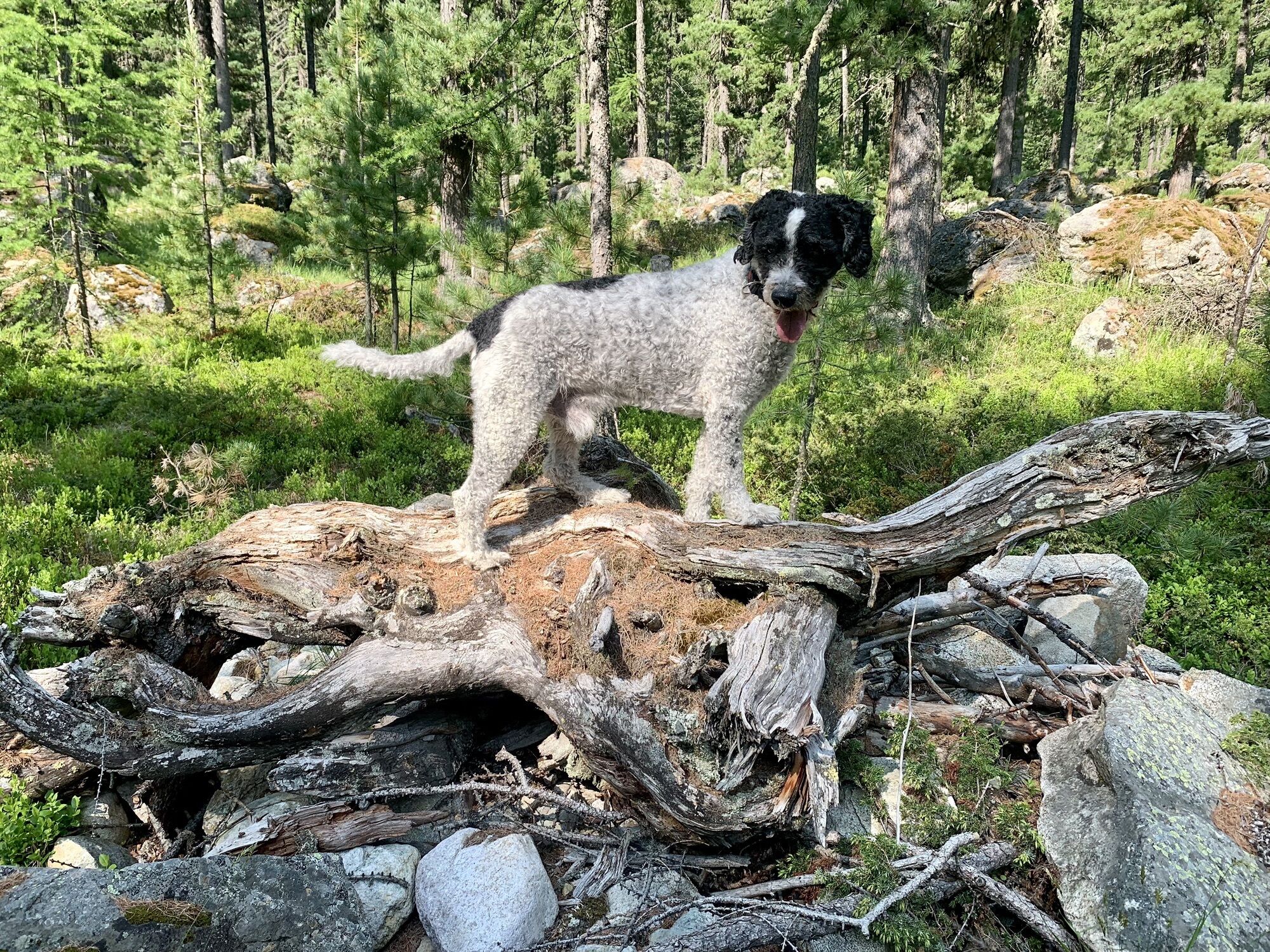
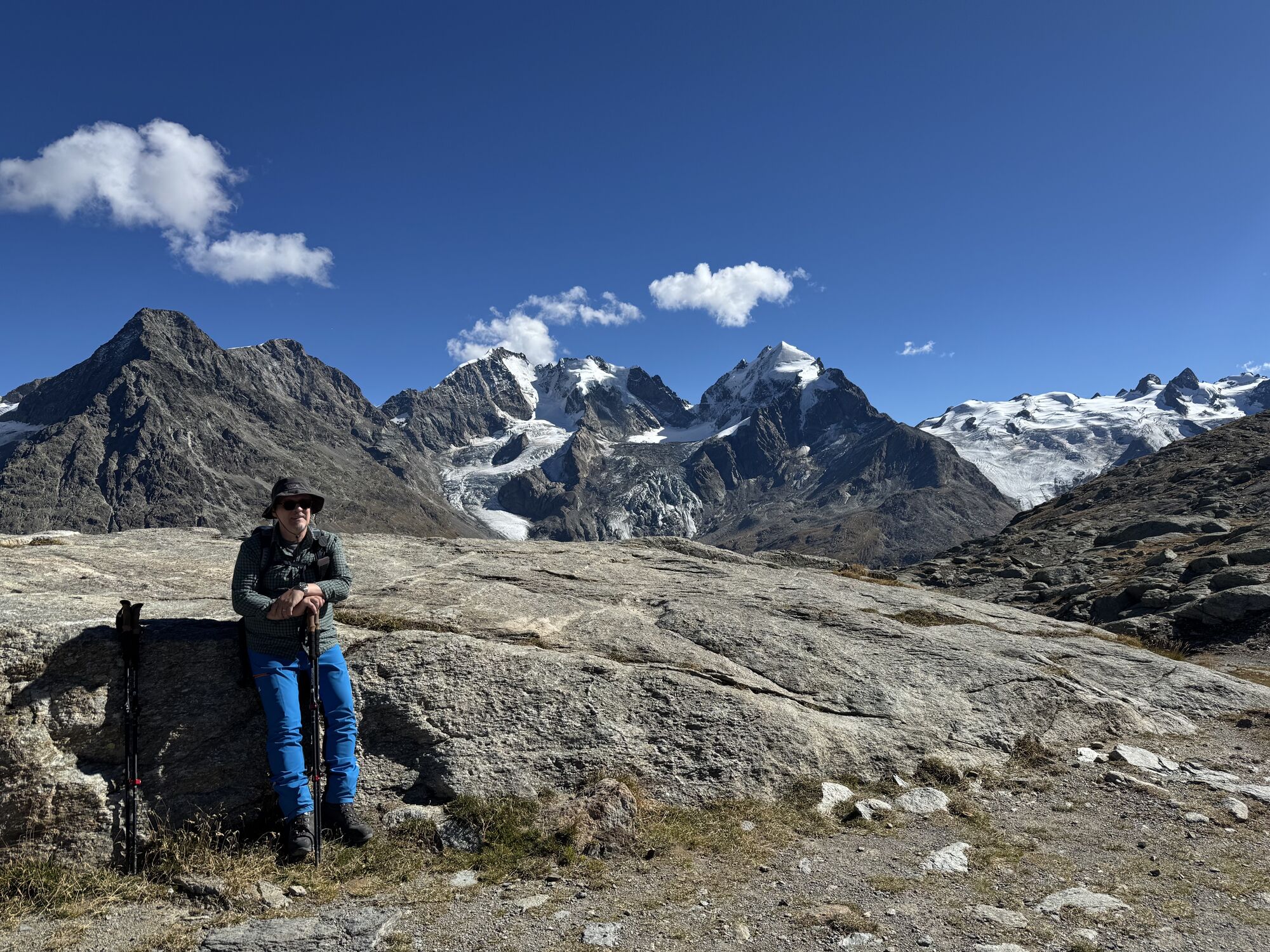
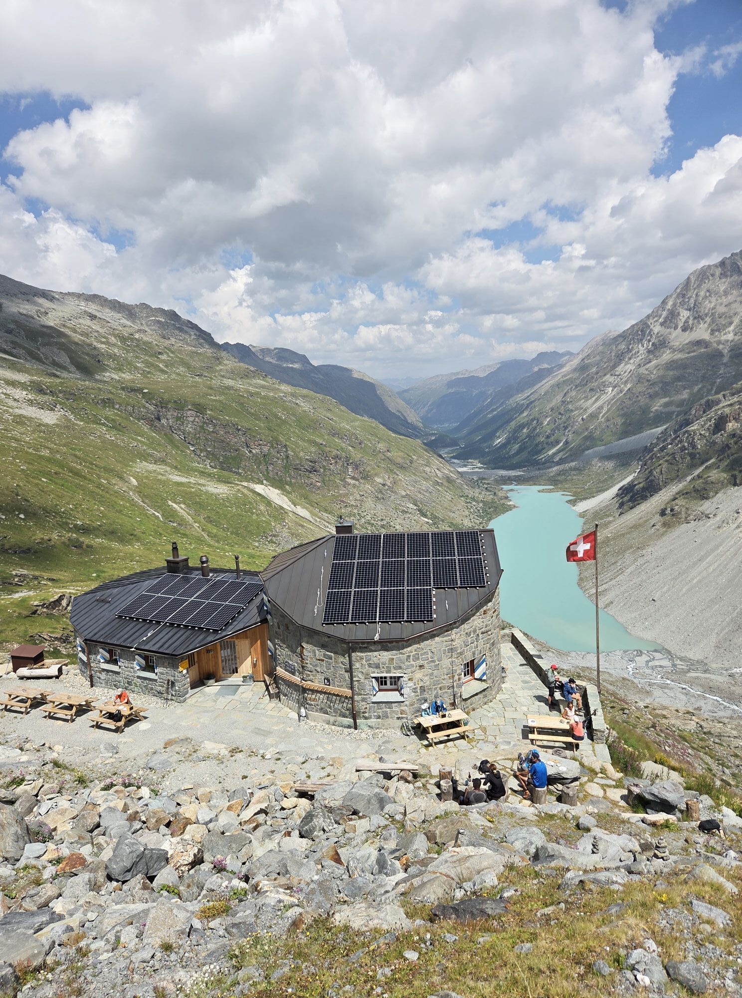
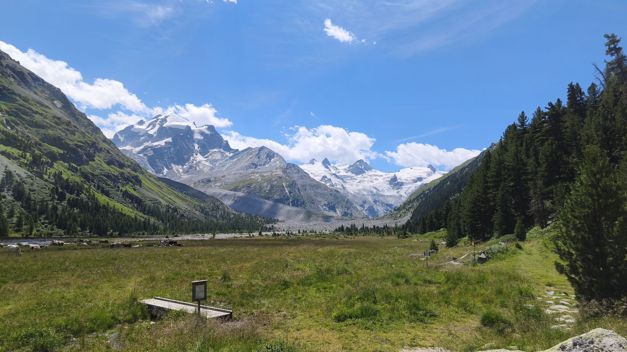
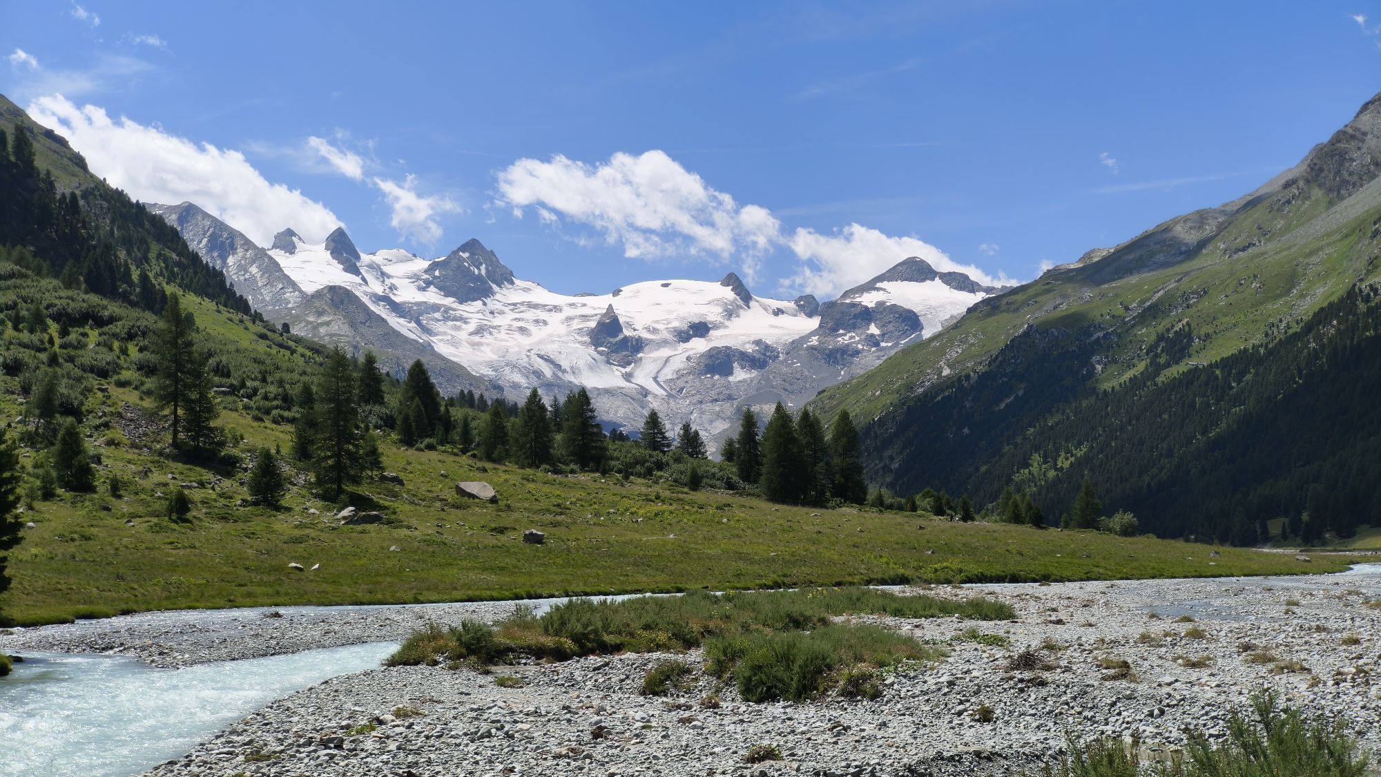
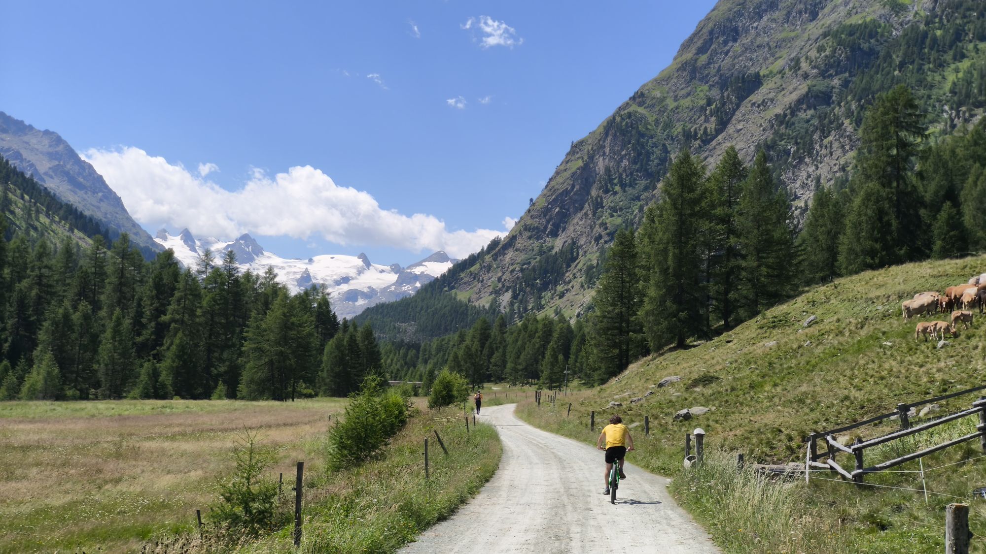
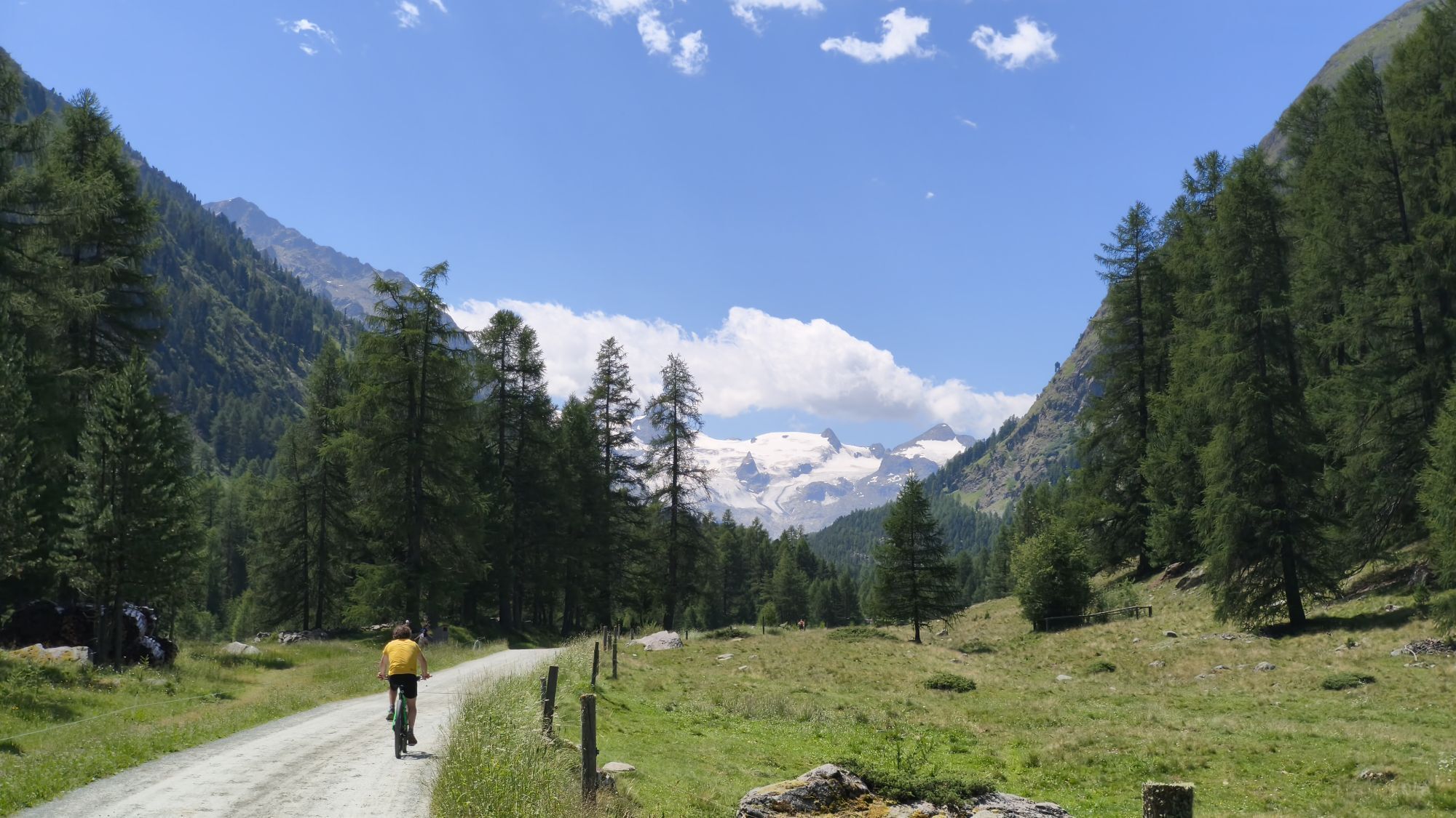
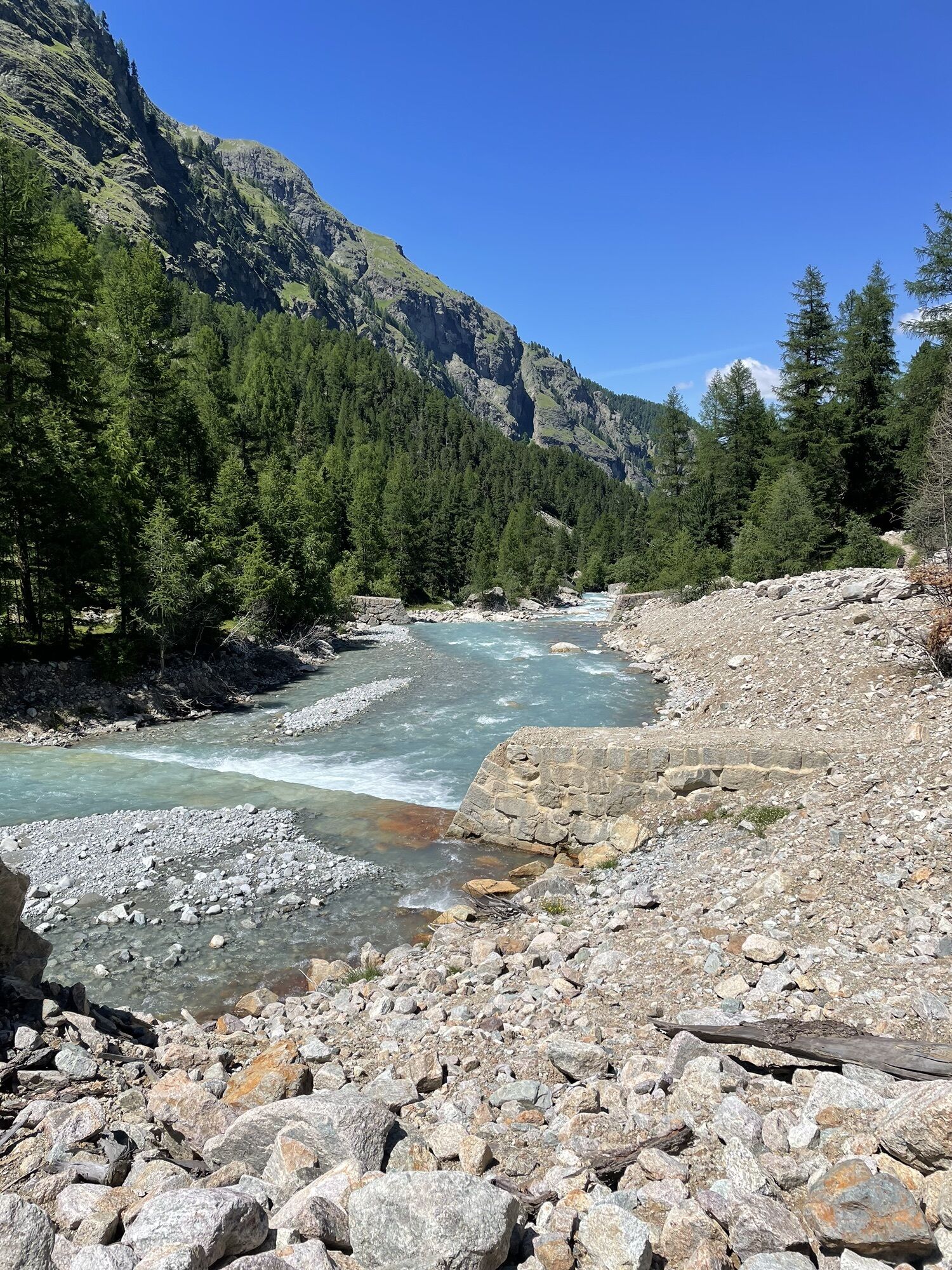
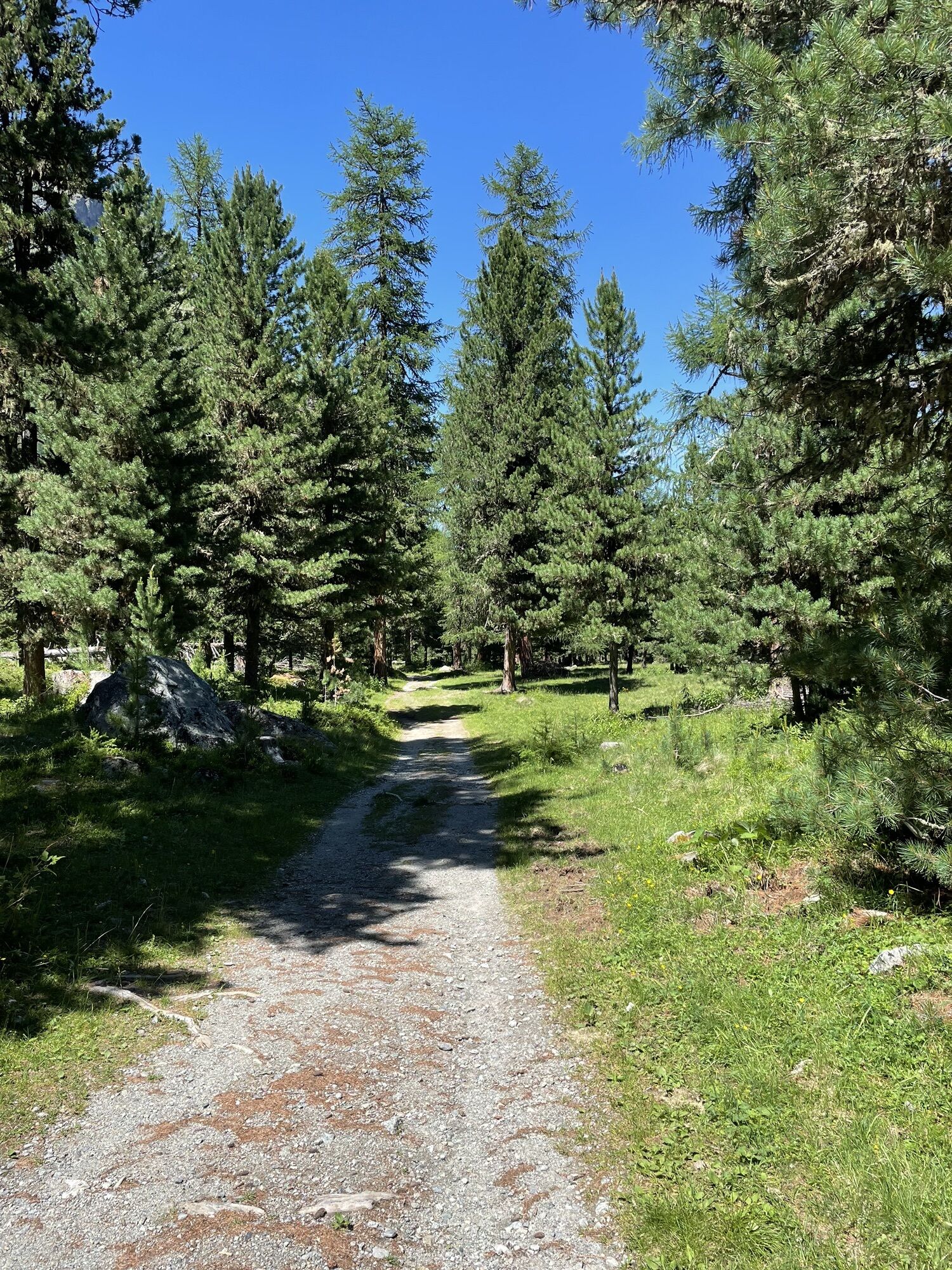
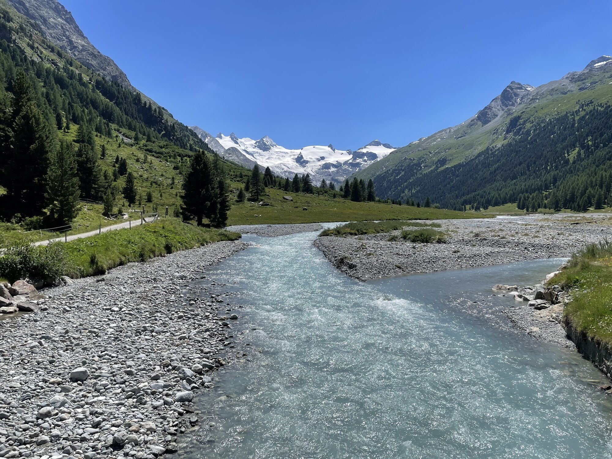
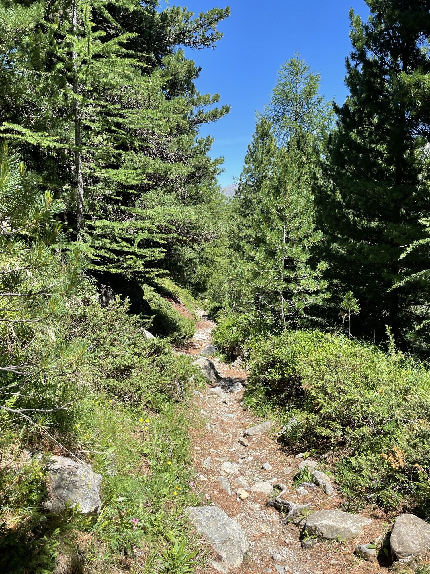
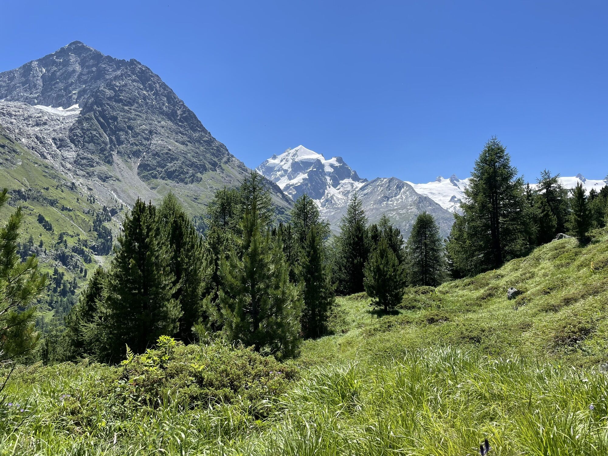
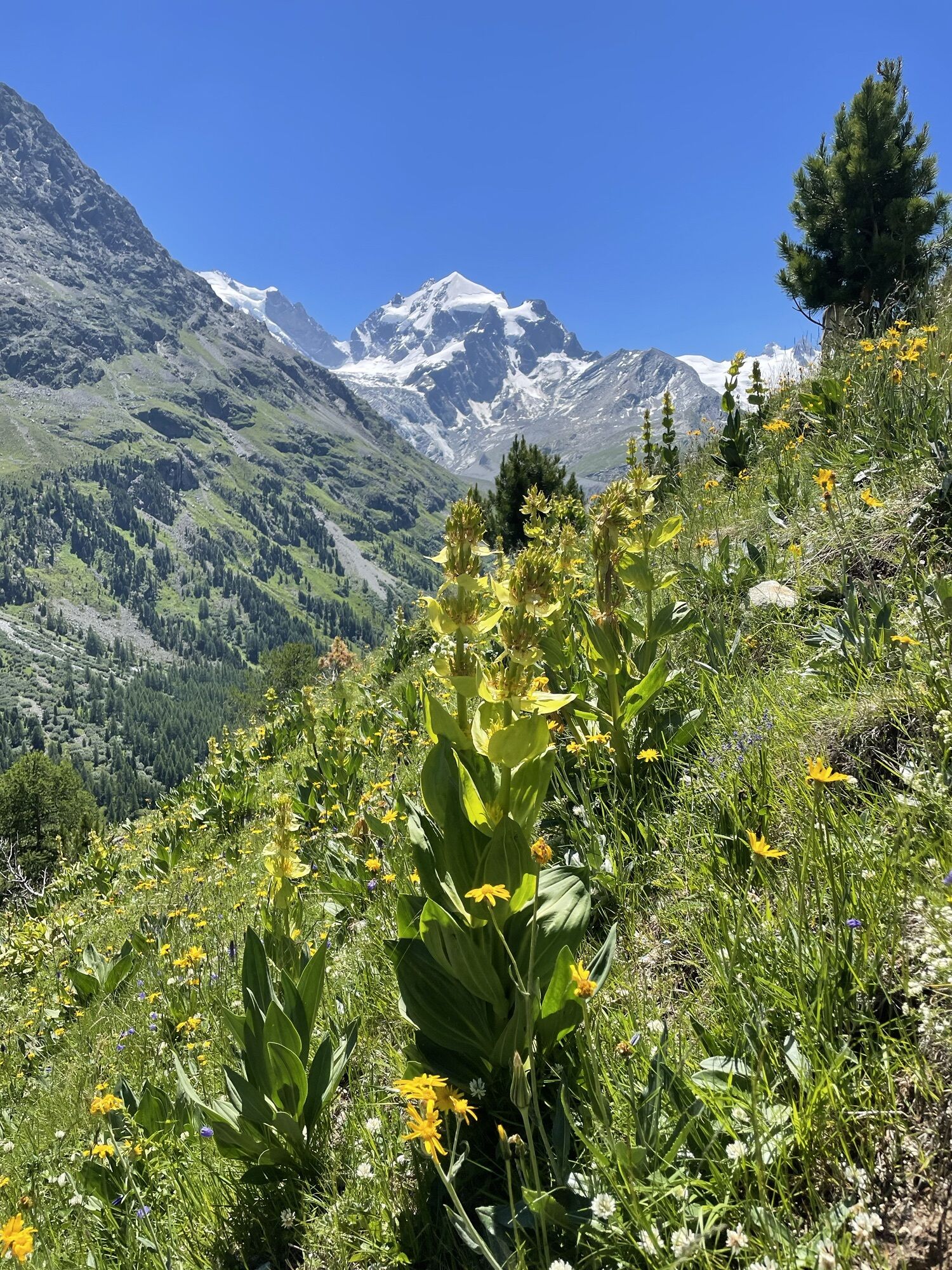
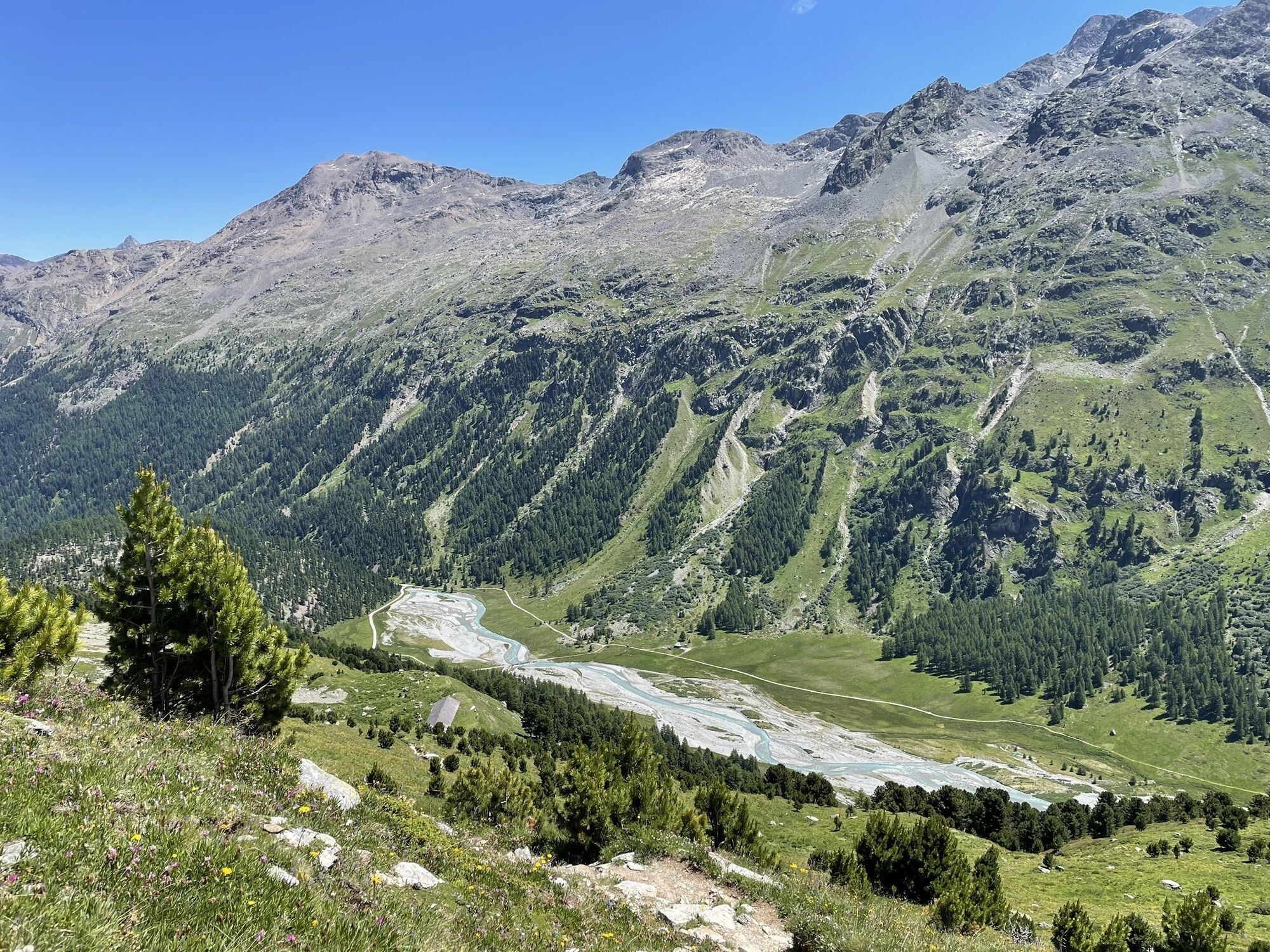
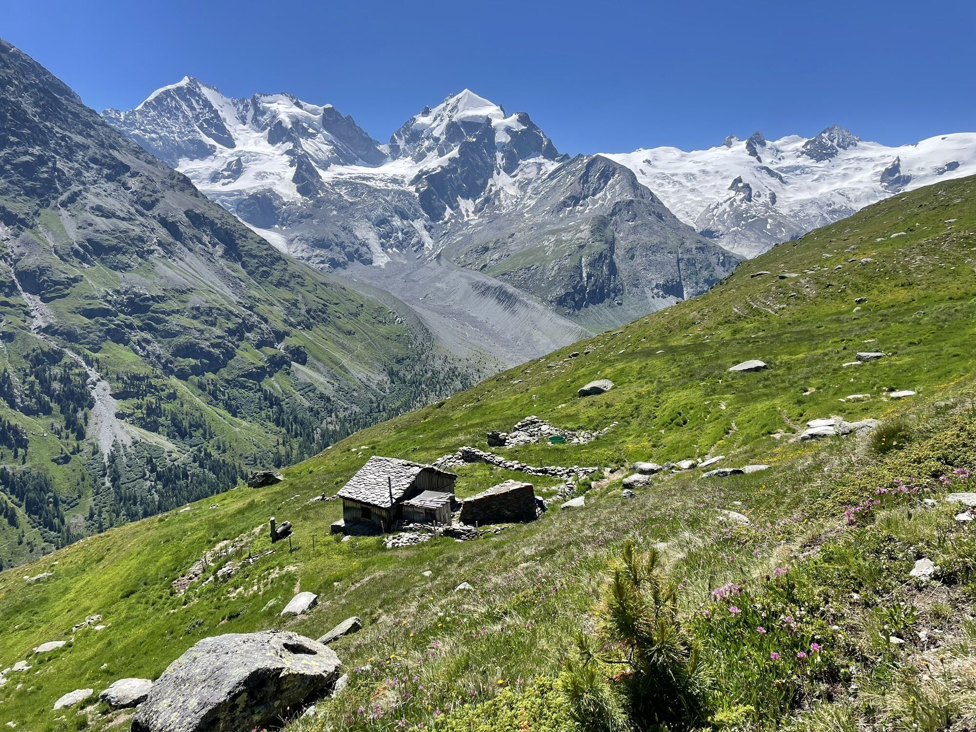
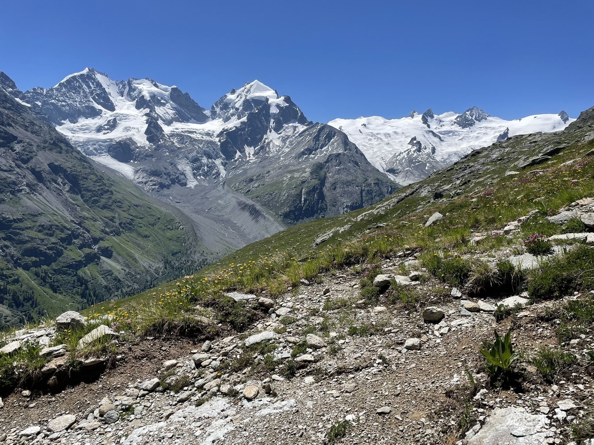
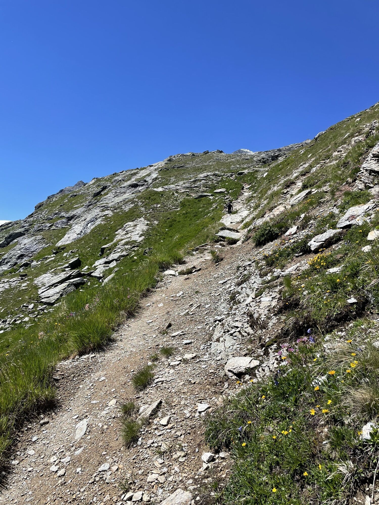
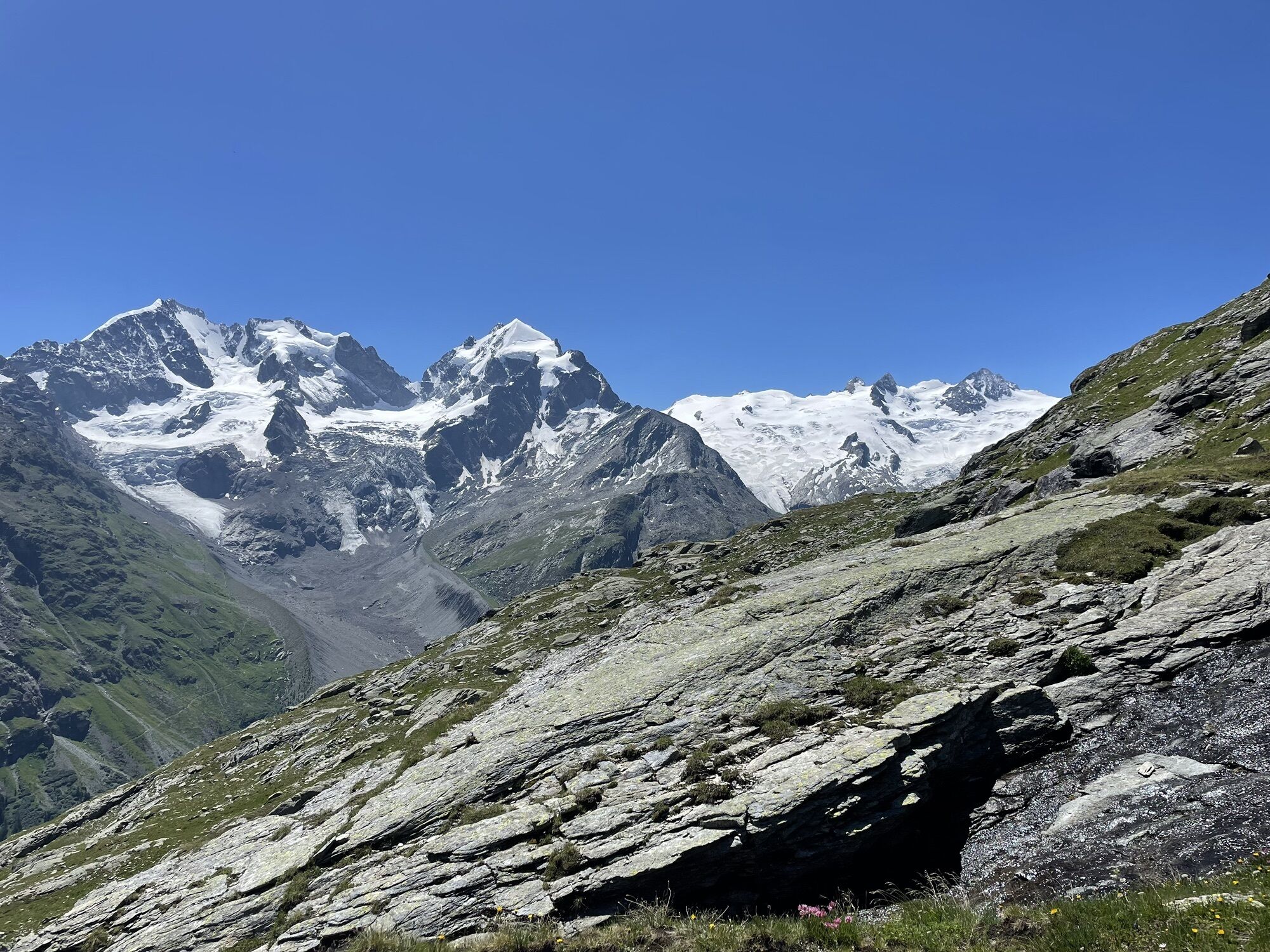
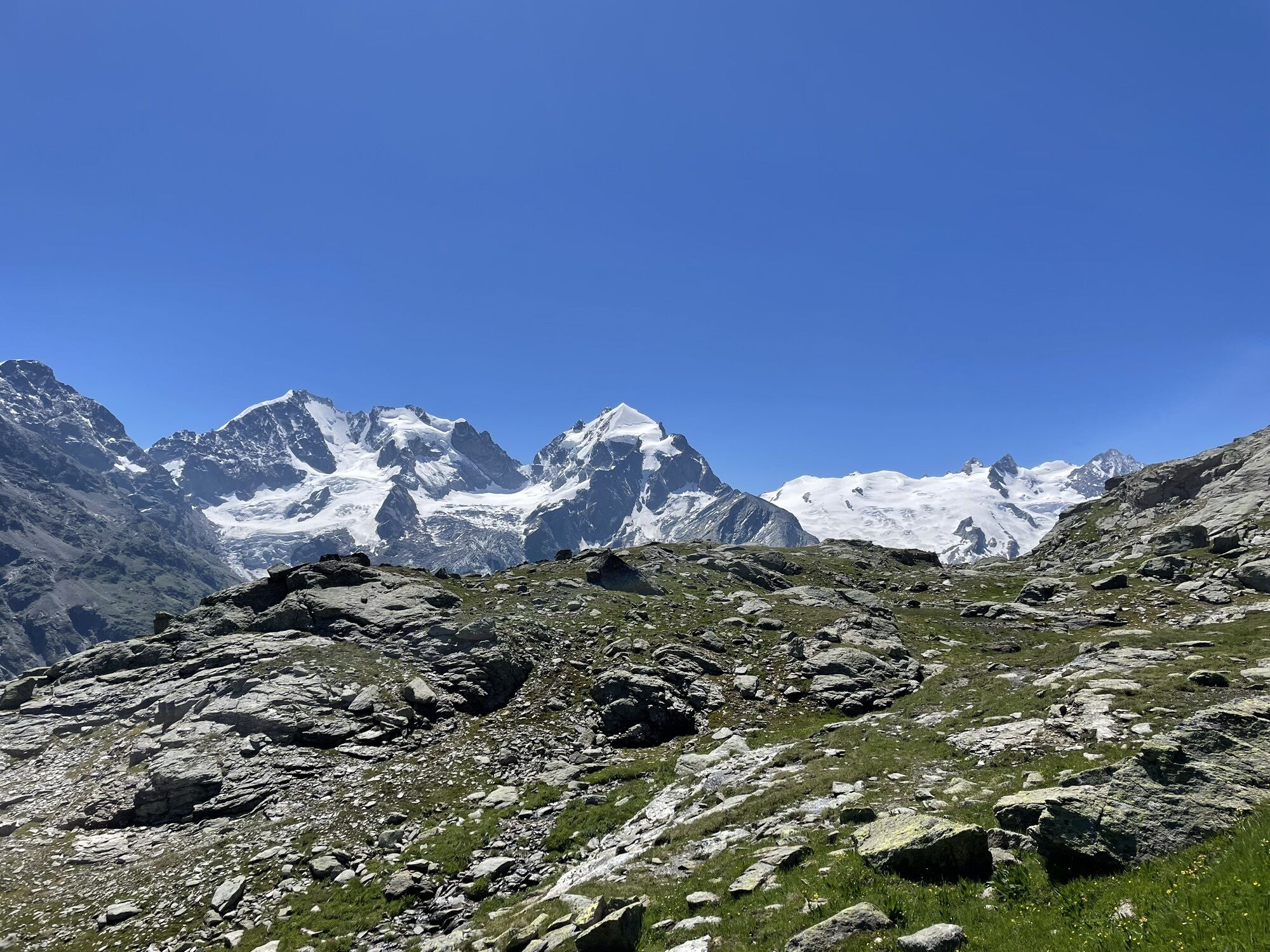
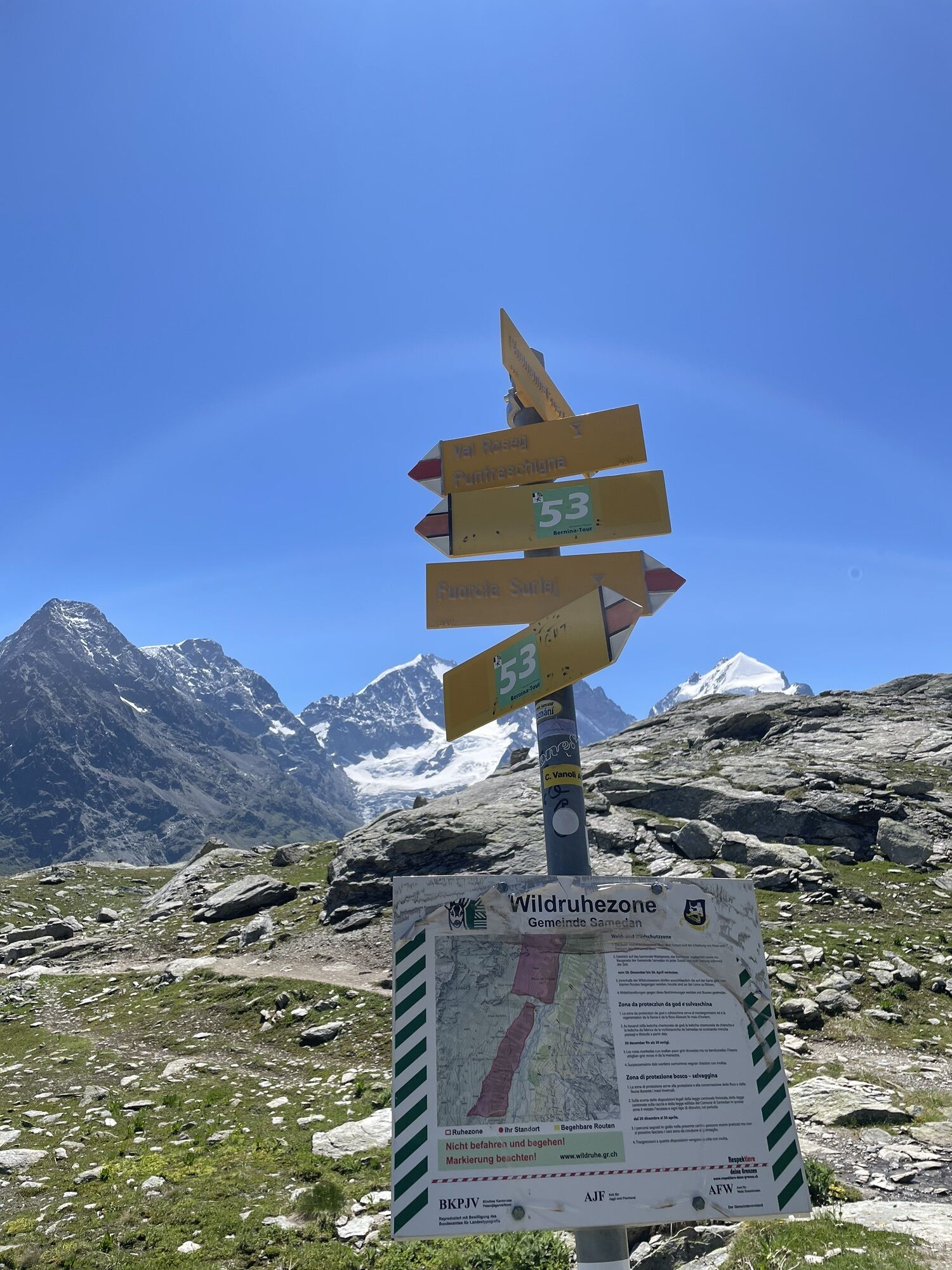
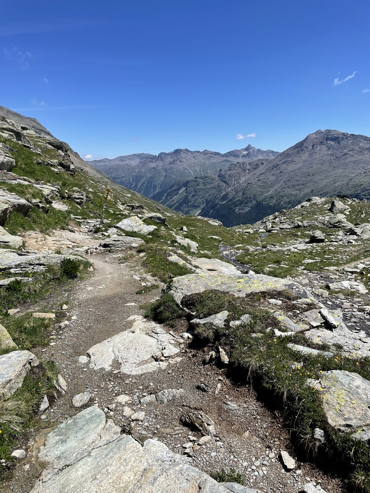
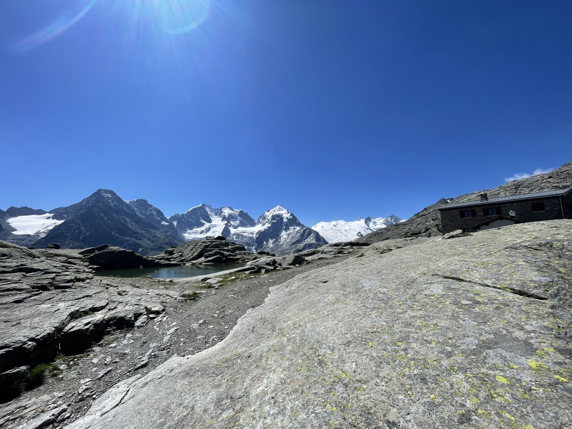
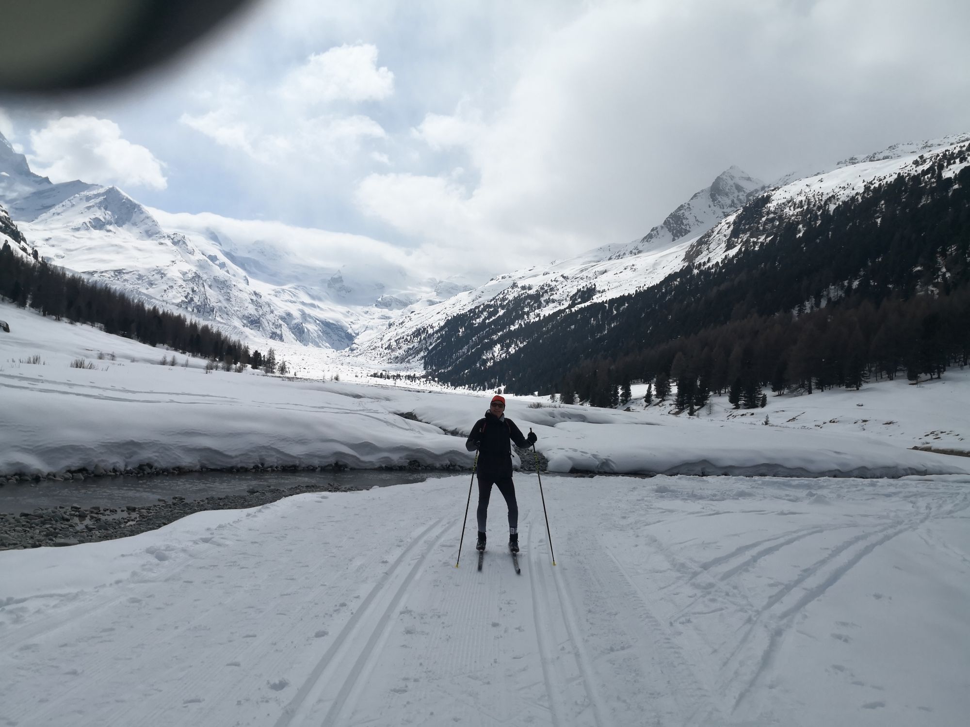
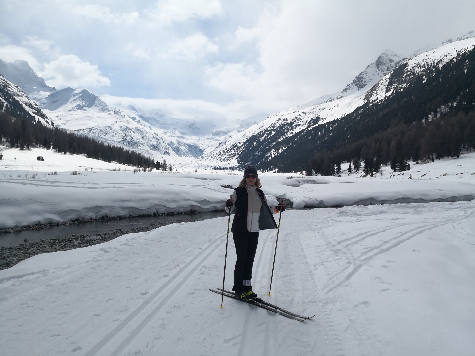
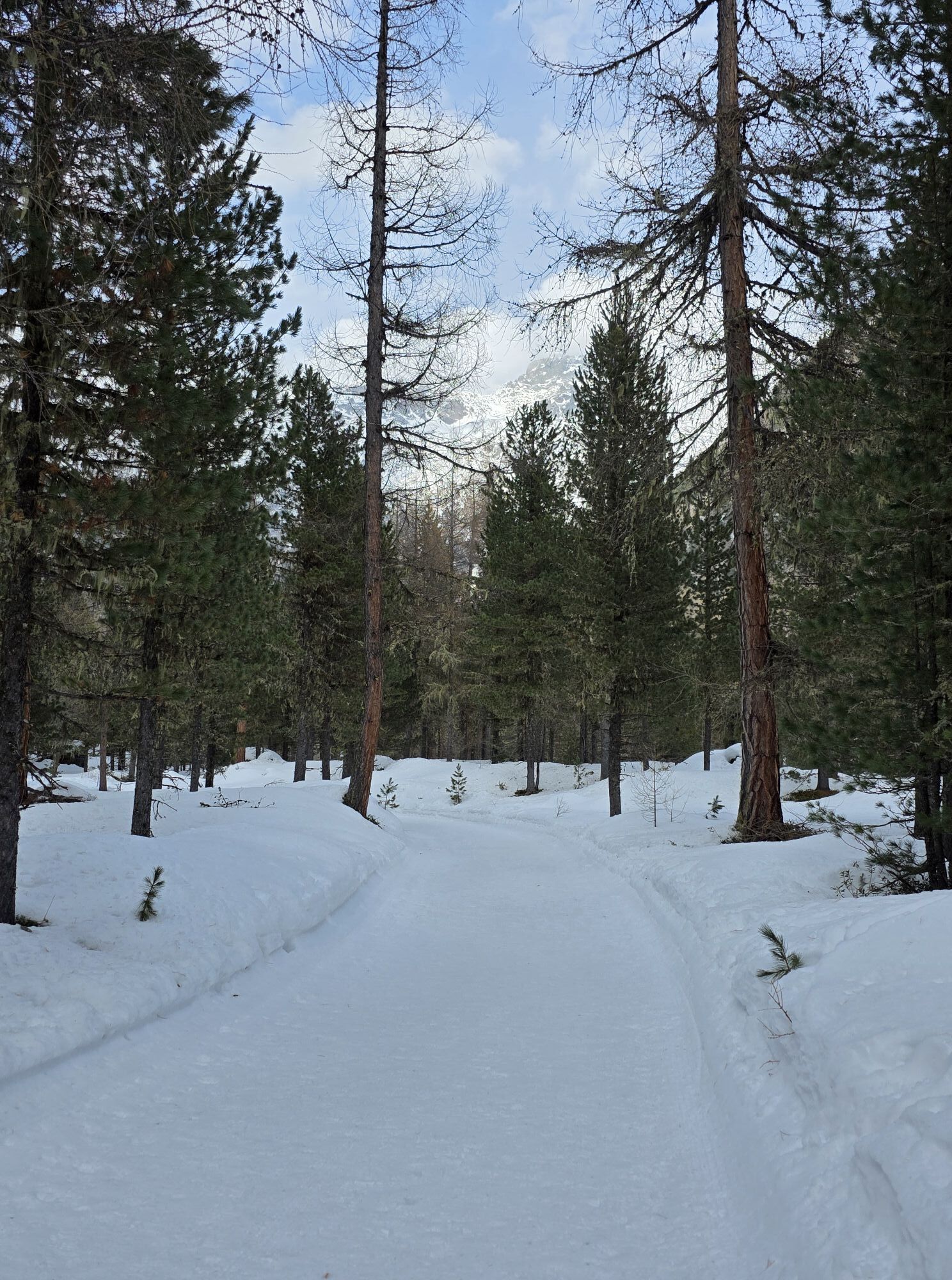
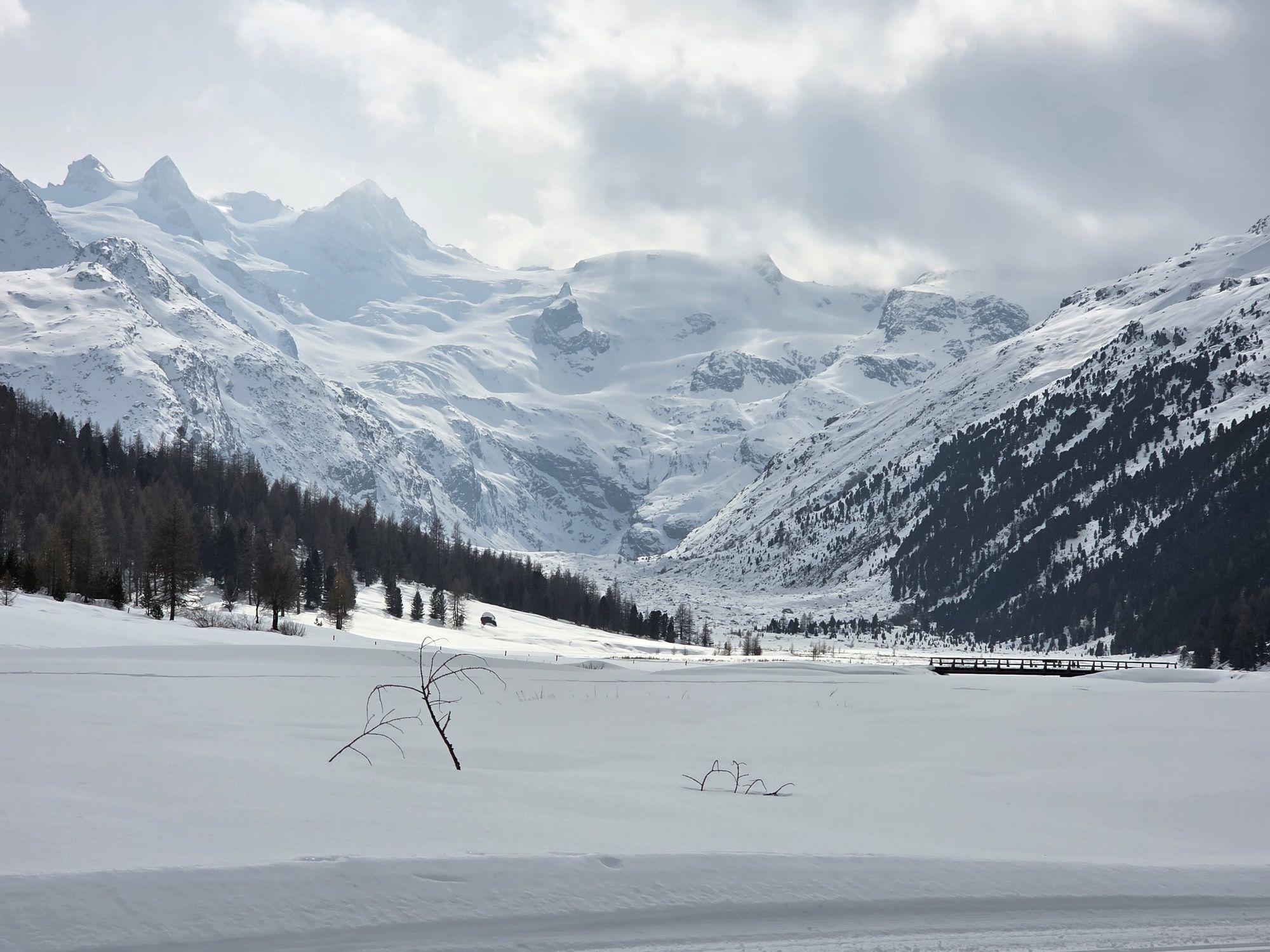
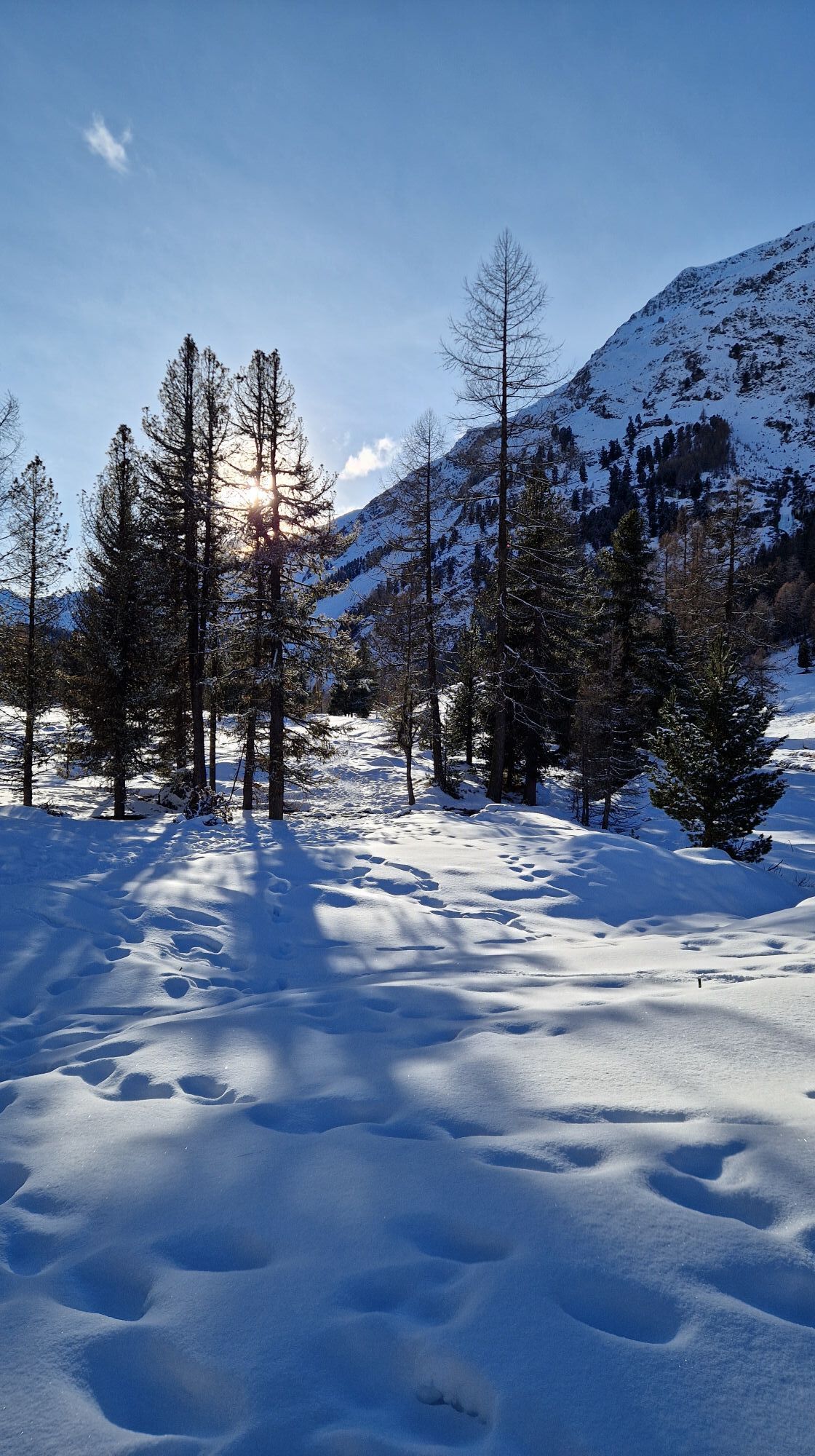
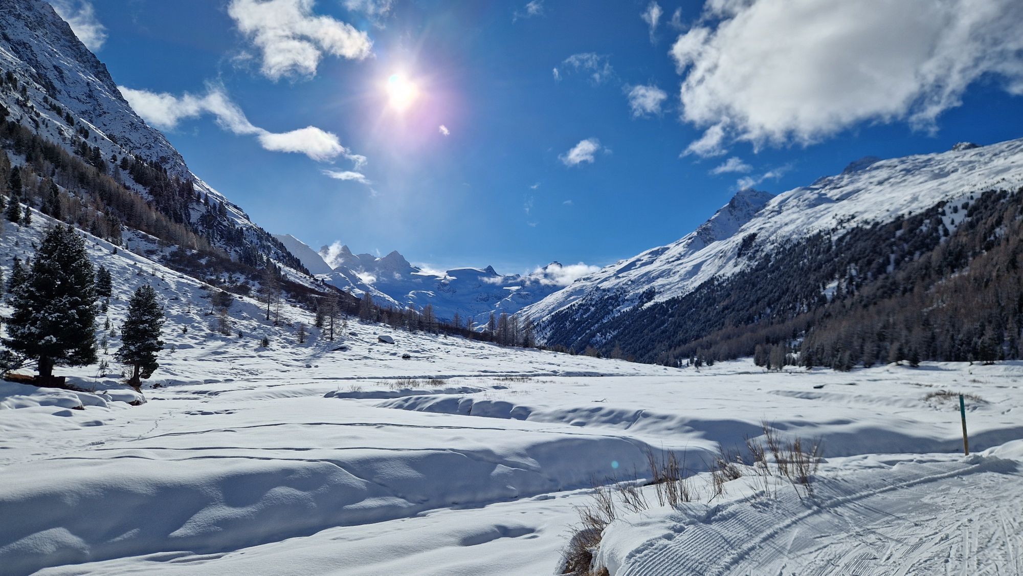
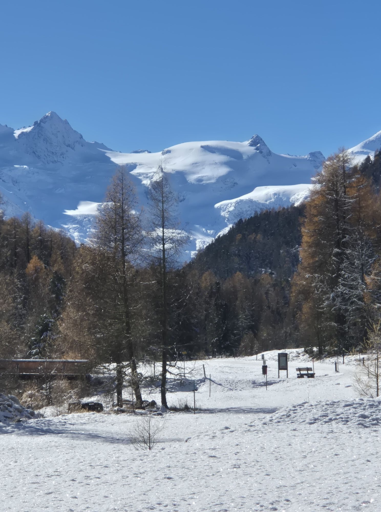
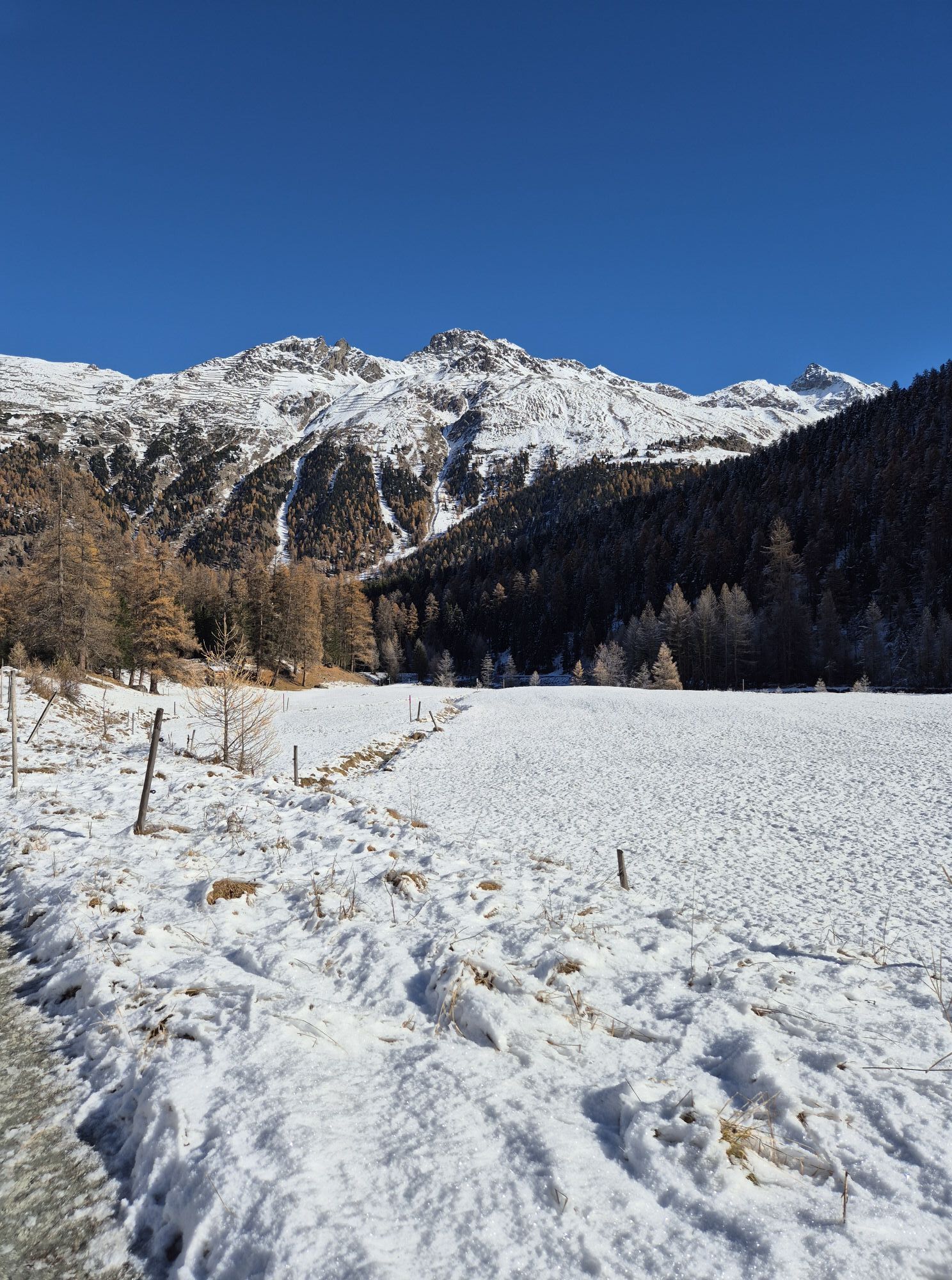
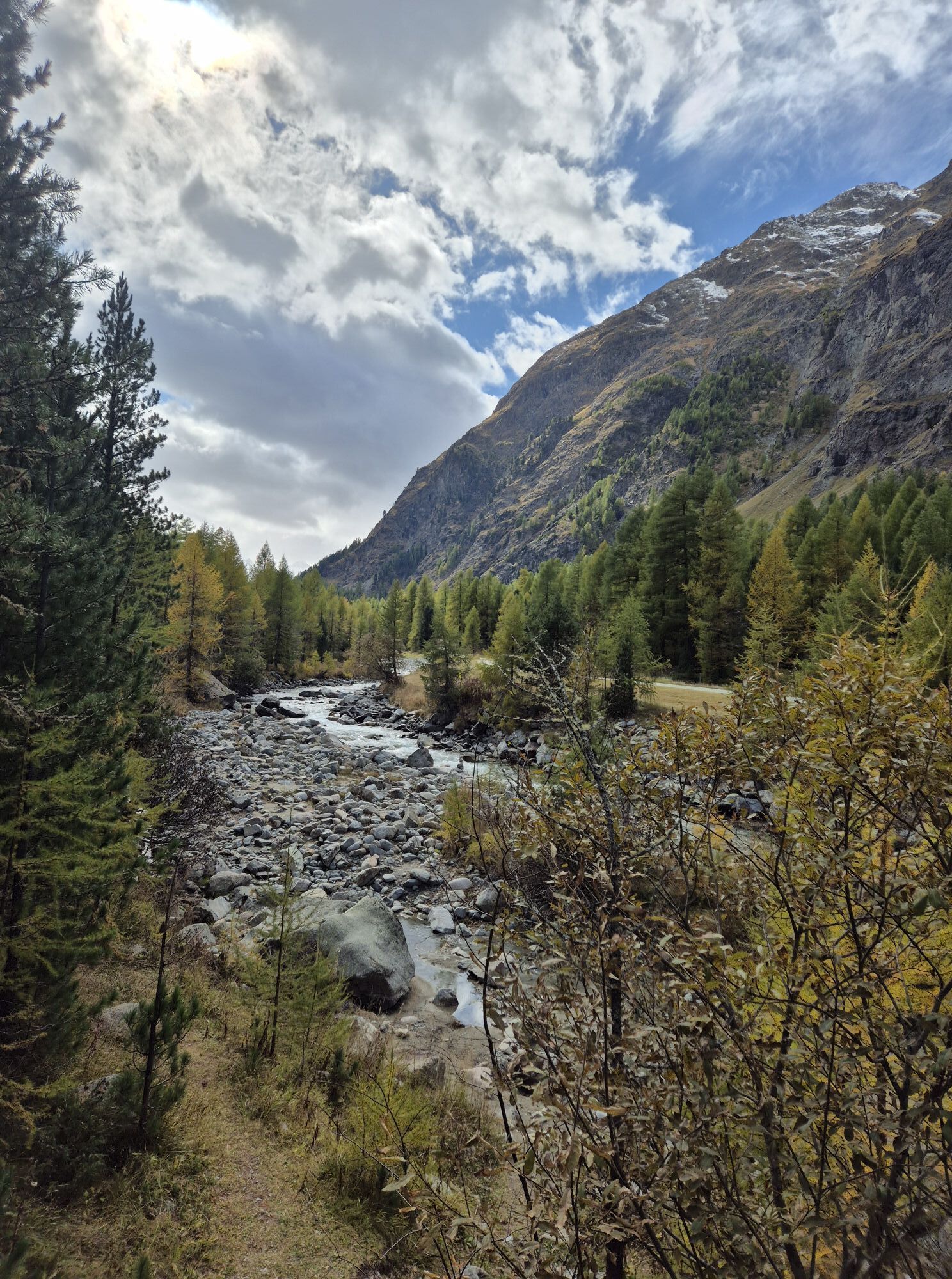
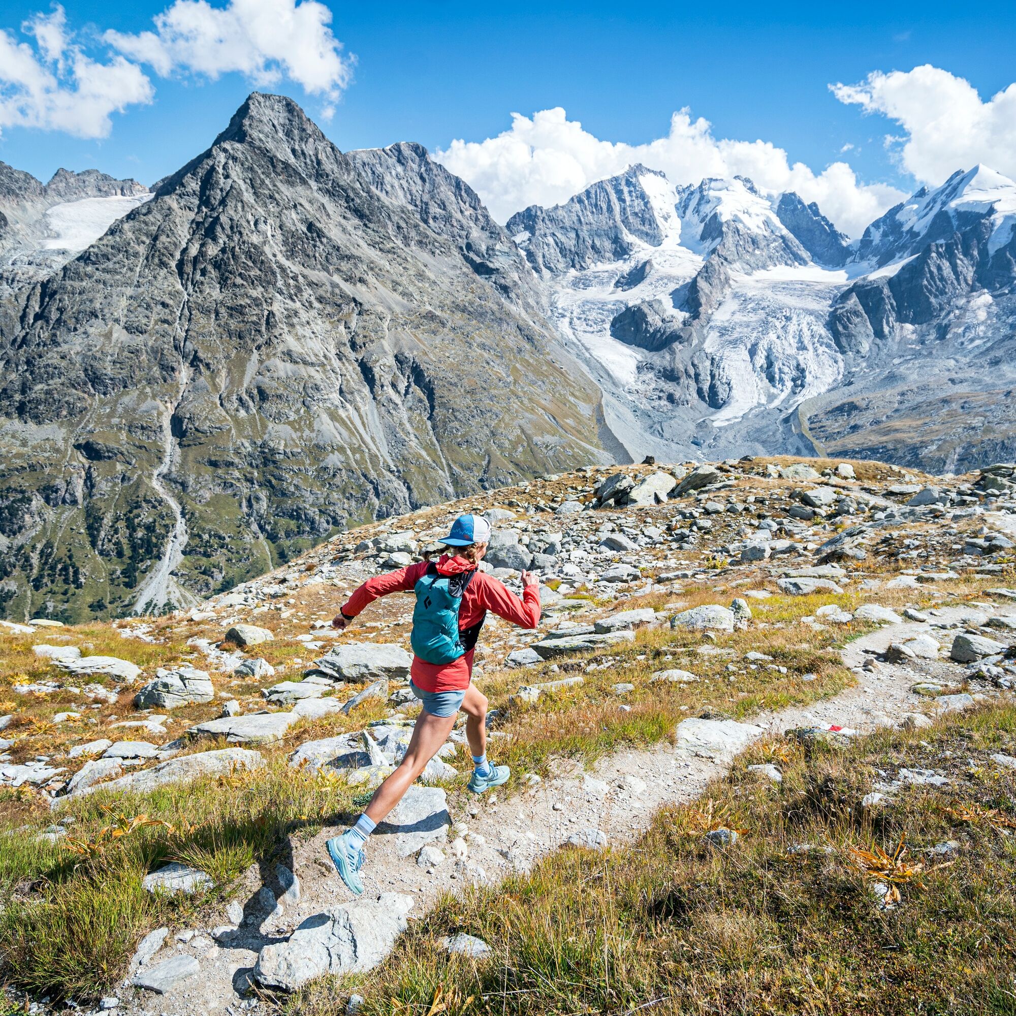
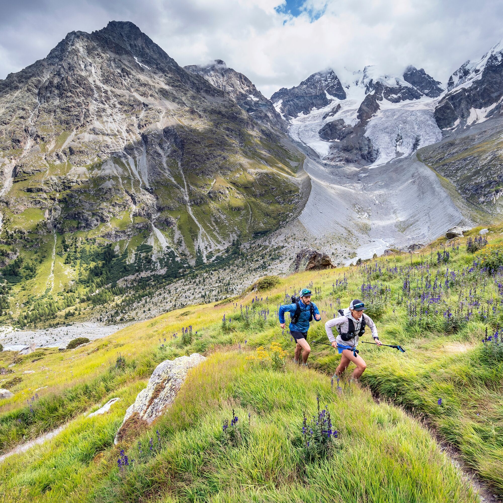
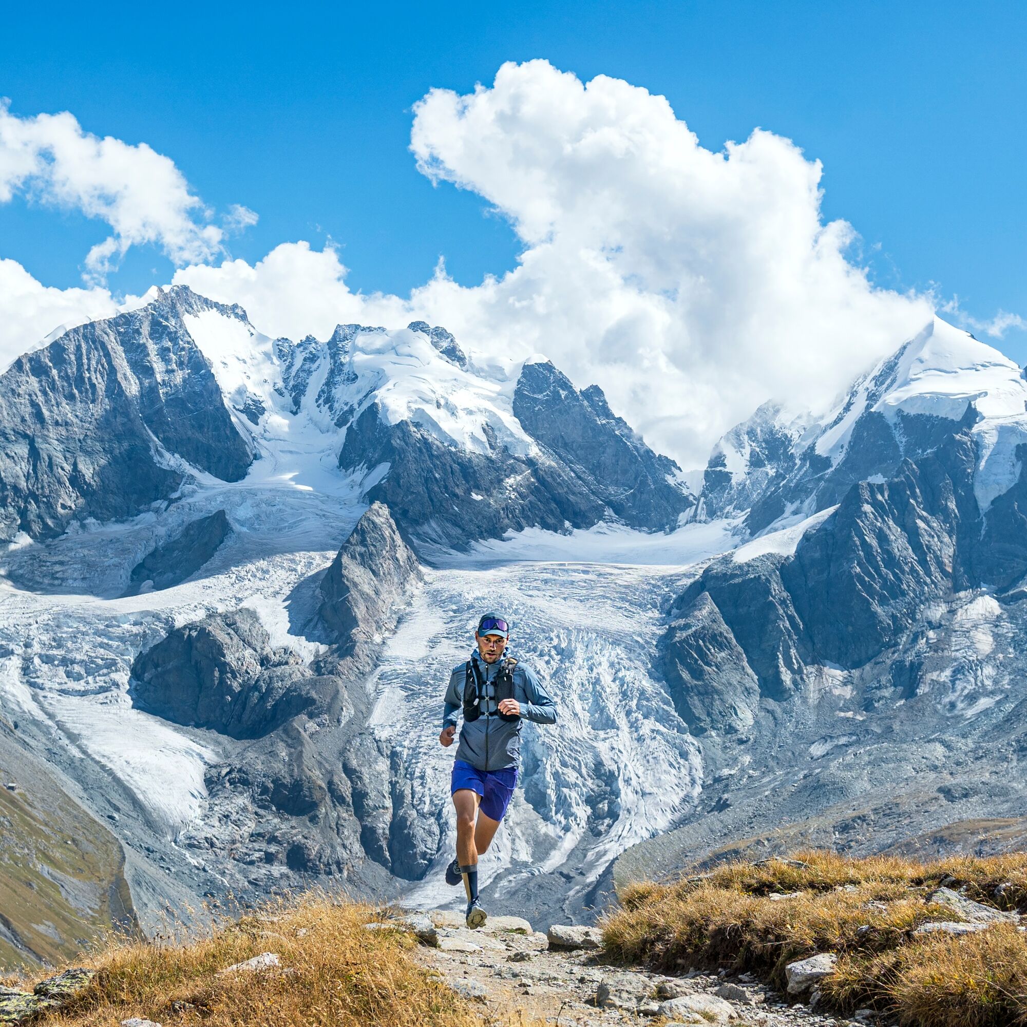
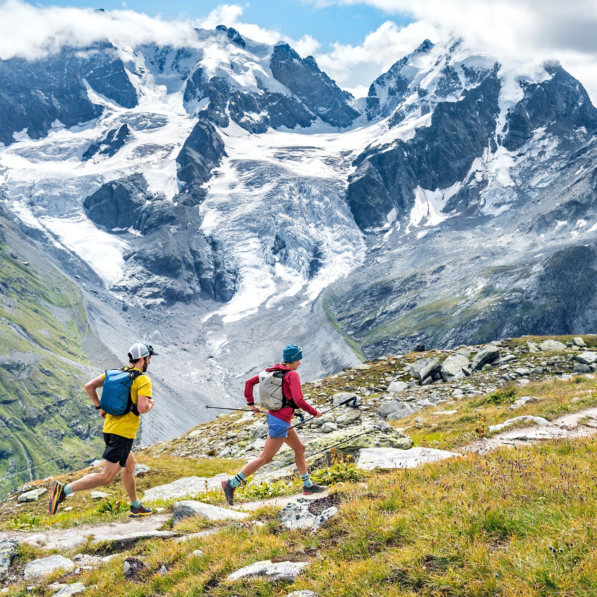
On this demanding and at the same time spectacular route, you can experience a lot. The trail begins with a gentle ascent on a wide forest road into Val Roseg up to the Hotel Restaurant Roseg Glacier....
Popis
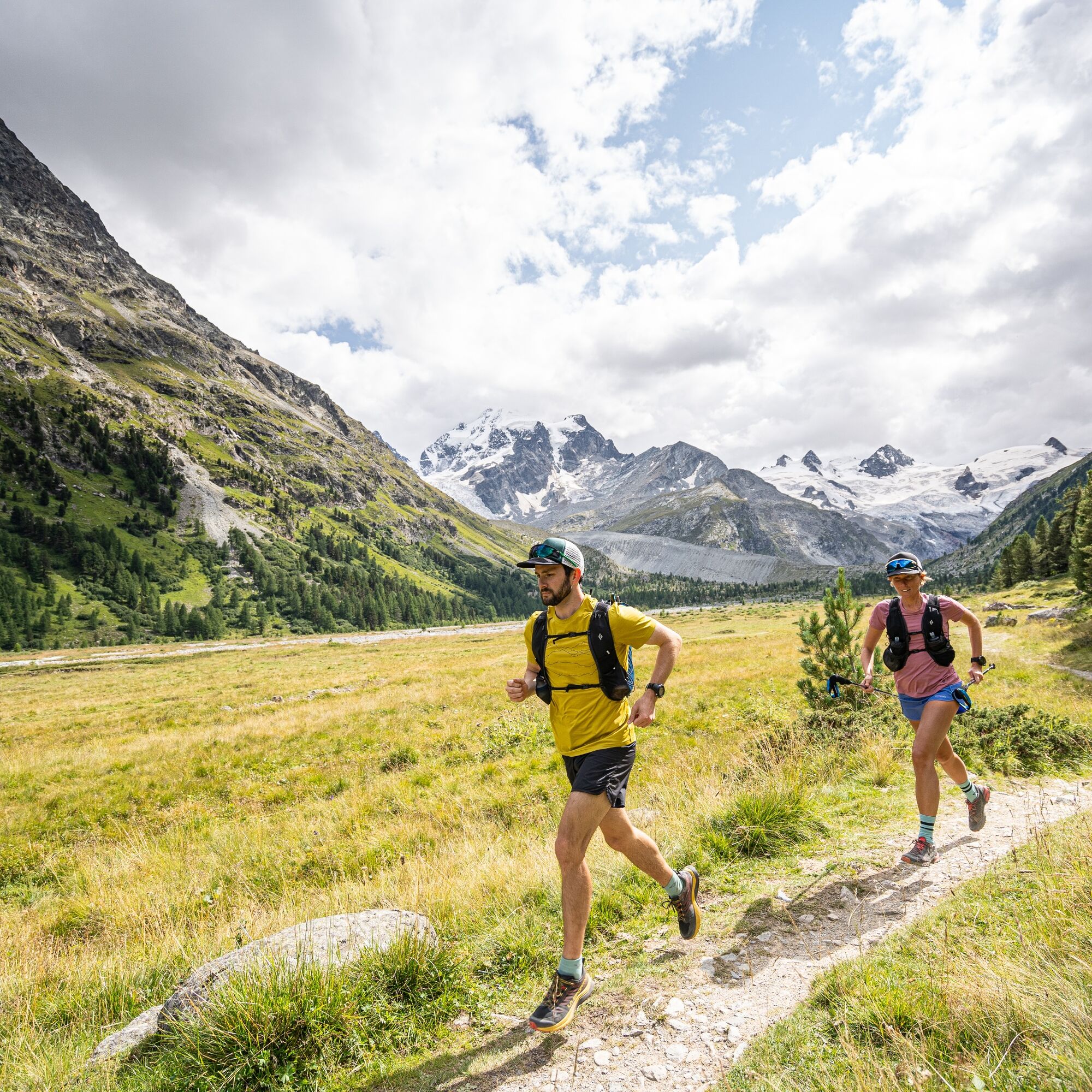
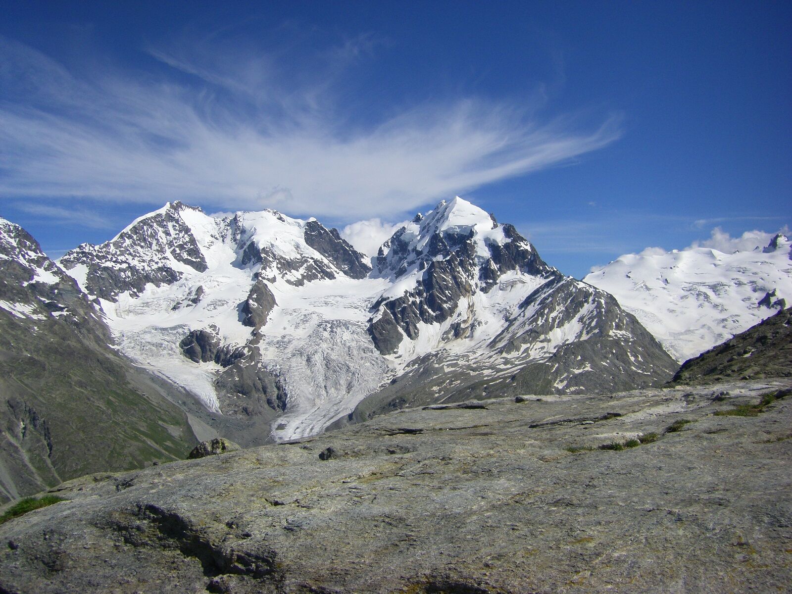
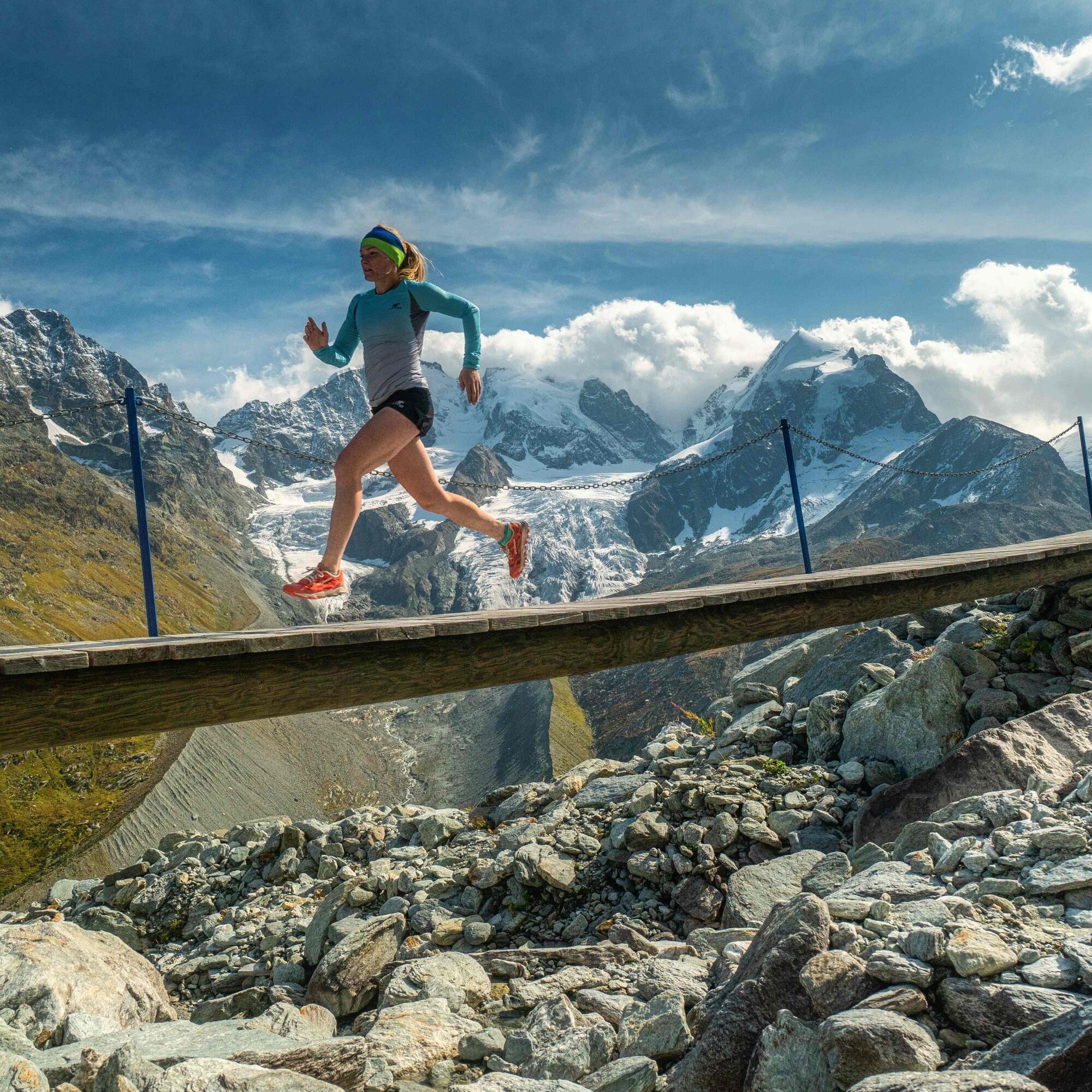
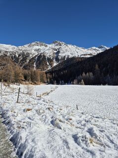
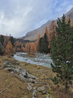
On this demanding and at the same time spectacular route, you can experience a lot. The trail begins with a gentle ascent on a wide forest road into Val Roseg up to the Hotel Restaurant Roseg Glacier. From there, the path continues a short distance before climbing quite high to Alp Ota. The glacier panorama is indescribably beautiful and invites you to linger. Upon reaching the signpost at 2569m, you can decide whether to take the detour to the Coaz hut (about 40 min.) or continue directly towards Fuorcla Surlej. The great single meadow trail winds with a pleasant incline to the highest point of the route at Fuorcla Surlej (2755m). The hut has a large terrace with a magnificent view of the Bernina mountain and glacier massif as well as on the other side over the lake landscape. Via a varied, rocky and narrow trail, it goes downhill towards Hotel Restaurant Roseg Glacier. From here, the valley can be left by two options: via the forest road similar to the way there or by horse-drawn carriage.
Further information
Engadin Tourismus AG
Via Maistra 1
CH-7500 St. Moritz
Telephone: +41 81 830 00 01
E-mail: allegra@engadin.ch
Internet: www.engadin.ch
Further information
Engadin Tourismus AG
Via Maistra 1
CH-7500 St. Moritz
Telephone: +41 81 830 00 01
E-mail: allegra@engadin.ch
Internet: www.engadin.ch
Trasa
Pontresina
(1774 m)
Železniční stanice
0.1 km
Hotel Restaurant Roseg Gletscher
(2003 m)
Restaurace
7.0 km
Margun da l'Alp Ota
(2258 m)
Koridor/terén
9.5 km
Plattas
(2638 m)
Koridor/terén
14.2 km
Chamanna Coaz CAS
(2608 m)
Úkryt
15.4 km
Fuorcla Surlej
(2755 m)
Restaurace
22.2 km
Pontresina
(1805 m)
Vesnice
33.2 km
Trasa
Glacier route Val Roseg
heavy
Trailrunning
33.69
km
Pontresina
(1774 m)
Železniční stanice
0.1 km
Hotel Restaurant Roseg Gletscher
(2003 m)
Restaurace
7.0 km
Margun da l'Alp Ota
(2258 m)
Koridor/terén
9.5 km
Plattas
(2638 m)
Koridor/terén
14.2 km
Chamanna Coaz CAS
(2608 m)
Úkryt
15.4 km
Fuorcla Surlej
(2755 m)
Restaurace
22.2 km
Pontresina
(1805 m)
Vesnice
33.2 km
Pontresina
(1774 m)
Železniční stanice
33.6 km

Naposledy sledované
před 5 dny

Informace o trase
Trasa
Pontresina - Val Roseg - Hotel Restaurant Roseg Glacier - Alp Ota - Fuorcla Surlej - Hotel Restaurant Roseg Glacier - Val Roseg - Pontresina
Geologické zajímavosti
Ano
Informace o příjezdu
Veřejná doprava
By RhB or by Engadin Bus to Pontresina station
Parkování
Gitöglia parking lot between Pontresina station and the village.
Další informace a tipy
Tipy
As a reward, the famous dessert buffet awaits at the Roseg Glacier Restaurant.
Oceňování

Webové kamery z prohlídky
-
St. Moritz / Samedan - Muottas Muragl
-
Camping Morteratsch
-
Corvatsch
-
Silvaplana - Restaurant Mulets
-
Samedo - Engadin Golf
-
St. Moritz / Samedan - Muottas Muragl
-
St. Moritz / Samedan - Muottas Muragl
-
St. Moritz / Samedan - Muottas Muragl
-
St. Moritz / Samedan - Muottas Muragl
-
Silvaplana - Mittelstation Murtèl
-
Silvaplana - Mittelstation Murtèl
-
Silvaplana - Mittelstation Murtèl
-
Silvaplana - Mittelstation Murtèl
-
Silvaplana - Mittelstation Murtèl
-
Corvatsch
-
Celerina - Cresta Palace
-
Samedan - Roseg Gletscher
-
Samedan - Engadin Airport
-
Sporthotel Pontresina
-
Silvana - Alpetta Hütta
-
Alpetta Hütta, Corvatsch
-
Pontresina - Hotel Walther
-
Pontresina - Langlauf und Bikezentrum
-
Pontresina - Eiskletter-Schlucht
-
Pontresina - Hotel Saratz

Všechny webové kamery na mapě
Nainstaluj si aplikaci zdarma a porovnej si živé záběry z několika míst, než vyrazíš.
Využijte nyní službu „ bergfex “ v aplikaci
Naskenuj QR kód pomocí fotoaparátu
Jakmile je aplikace nainstalována, obsah se otevře přímo. Pokud aplikaci ještě nemáš, budeš přesměrován na stránku, kde si ji můžeš zdarma stáhnout.
Aktivity na trase



Oblíbené prohlídky v okolí
-
5.0
Morteratsch station - Boval Hut
středníTuristika 10.5 km -
4.8
Panoramic route Muottas Muragl
světloTuristika 6.75 km -
4.7
Diavolezza - Munt Pers
světloHorská turistika 3.82 km -
5.0
Muottas Muragl - Segantini hut - Pontresina
středníTuristika 6.46 km -
4.9
Maloja - Motta Salacina - Lägh da Cavloc - Maloja
středníTuristika 10.3 km -
4.8
Morteratsch Glacier route
světloTematická stezka 2.88 km -
4.5
Pontresina - Val Roseg - Pontresina
světloTuristika 13.8 km -
4.8
Alp Languard - Segantini Hut - Muottas Muragl
středníTrailrunning 6.45 km -
4.8
SAC Tschierva
světloTuristika 24.7 km -
4.8
Around Lake St. Moritz
světloTuristika 4.32 km
Pěší turistika a stopování

Více než 550.000 návrhů výletů, podrobné mapy a intuitivní plánovač tras dělají z aplikace nezbytnou výbavu pro všechny milovníky přírody.

Nenechte si ujít nabídky a inspiraci pro vaši příští dovolenou
Přihlaste se k odběru newsletteru
Chyba
Došlo k chybě. Zkuste to prosím znovu.
Děkujeme za vaši registraci
Vaše e-mailová adresa byl přidán do poštovního seznamu.
Zájezdy po celé Evropě
Rakousko
Švýcarsko
Německo
Itálie
Slovenia
Francie
Nizozemsko
Belgie
Polsko
Lichtenštejnsko
Česko
Slovensko
Španělsko
Chorvatsko
Bosna a Hercegovina
Lucembursko
Andorra
Portugal
Iceland
United Kingdom
Ireland
Greece
Albania
North Macedonia
Malta
Norway
Montenegro
Moldova
Kosovo
Hungary
San Marino
Romania
Estonia
Latvia
Belarus
Cyprus
Lithuania
Serbia
Bulgaria
Monaco
Denmark
Sweden
Finland





