







Muottas Muragl - Segantini hut - Pontresina

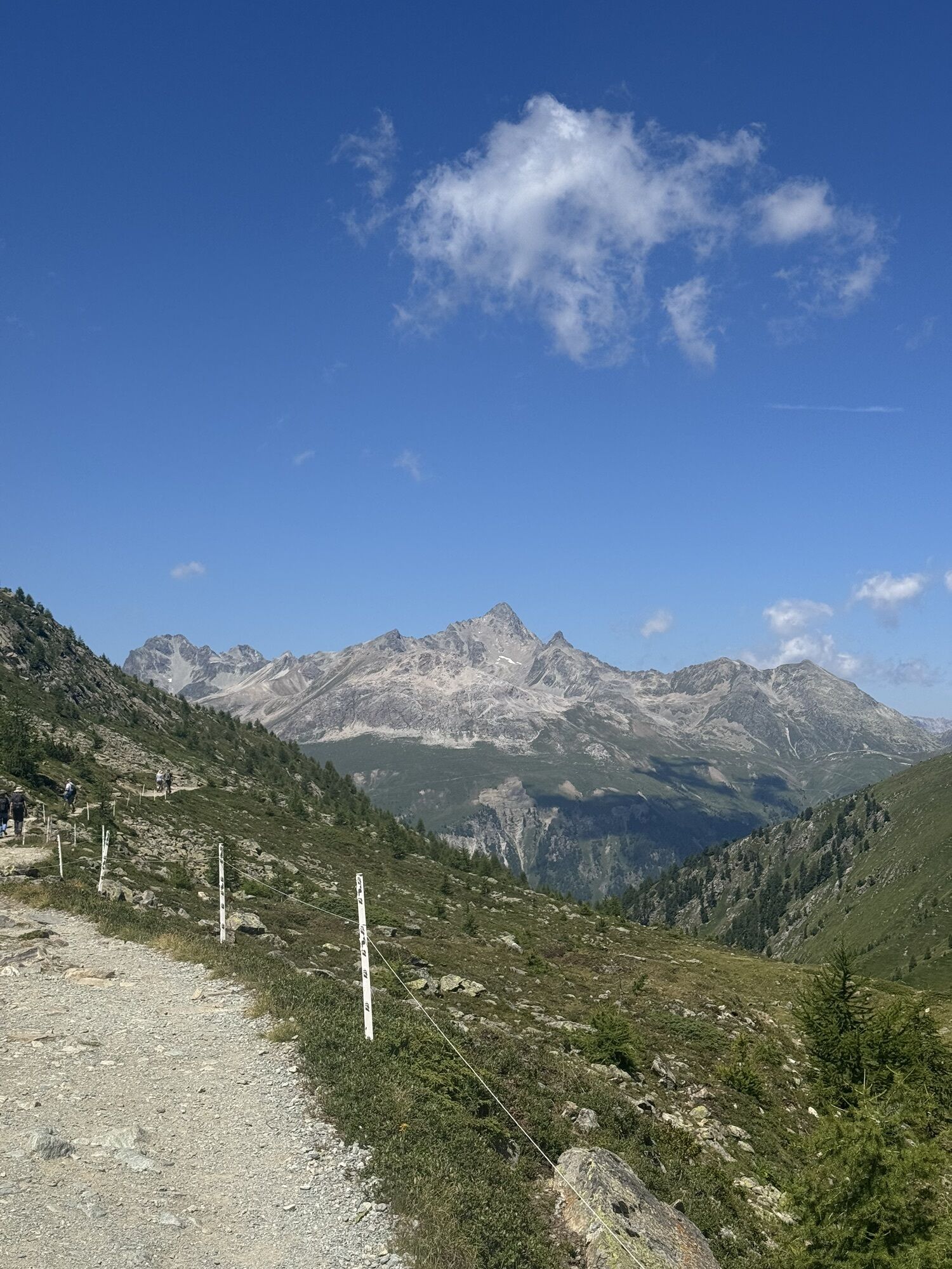
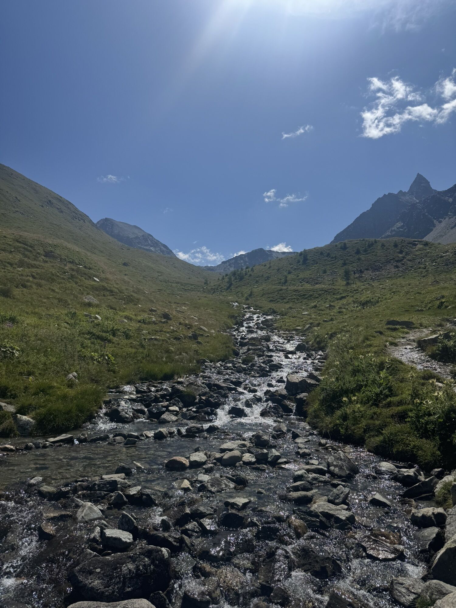
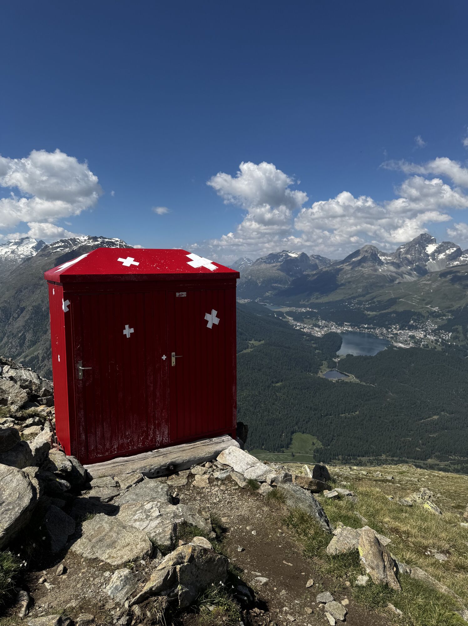
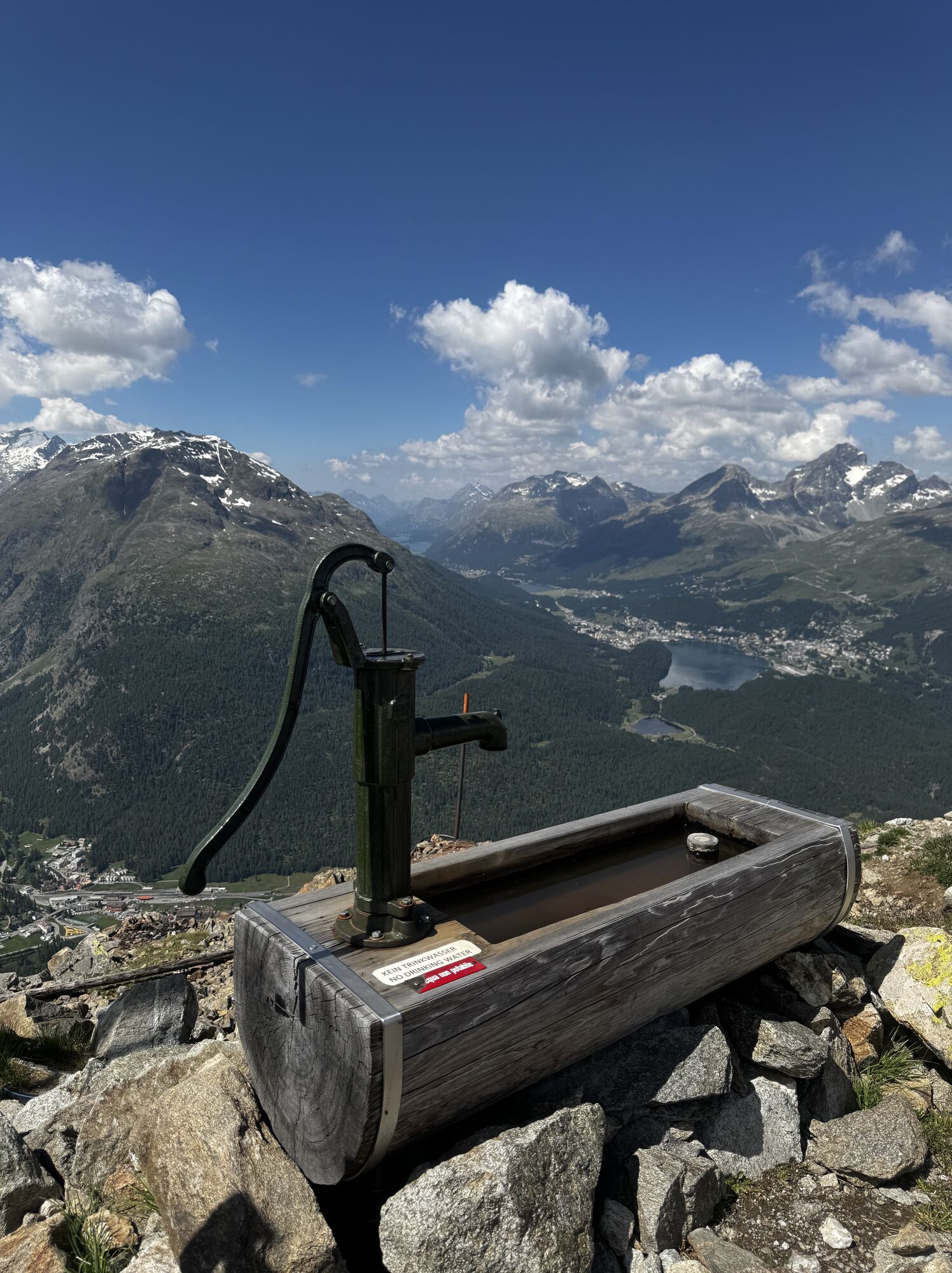

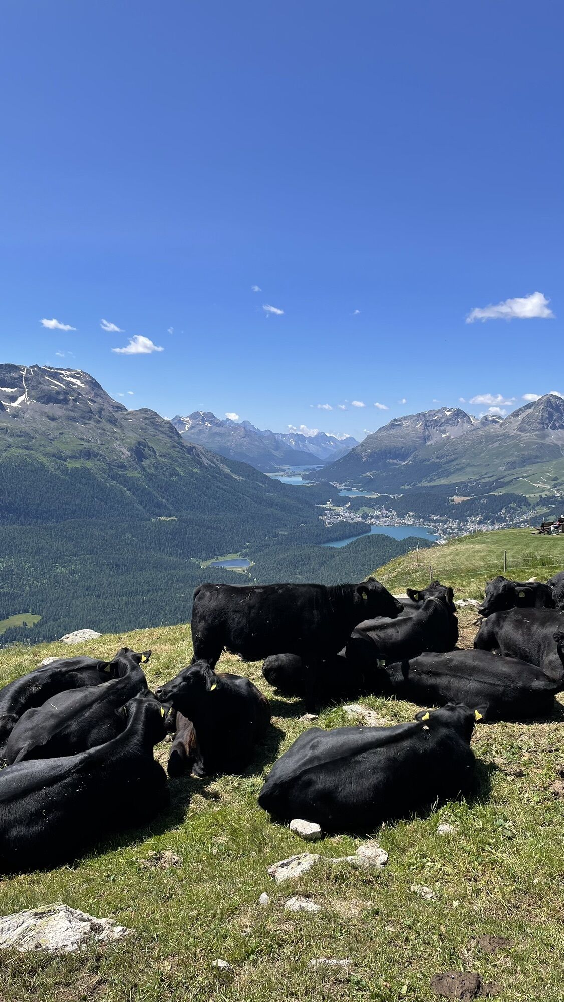

The spectacular ride up to Muottas Muragl already hints at the kind of panorama to expect. "Will I be able to give the nature I paint the lighting that gives color life?" This well-marked but partly steep...
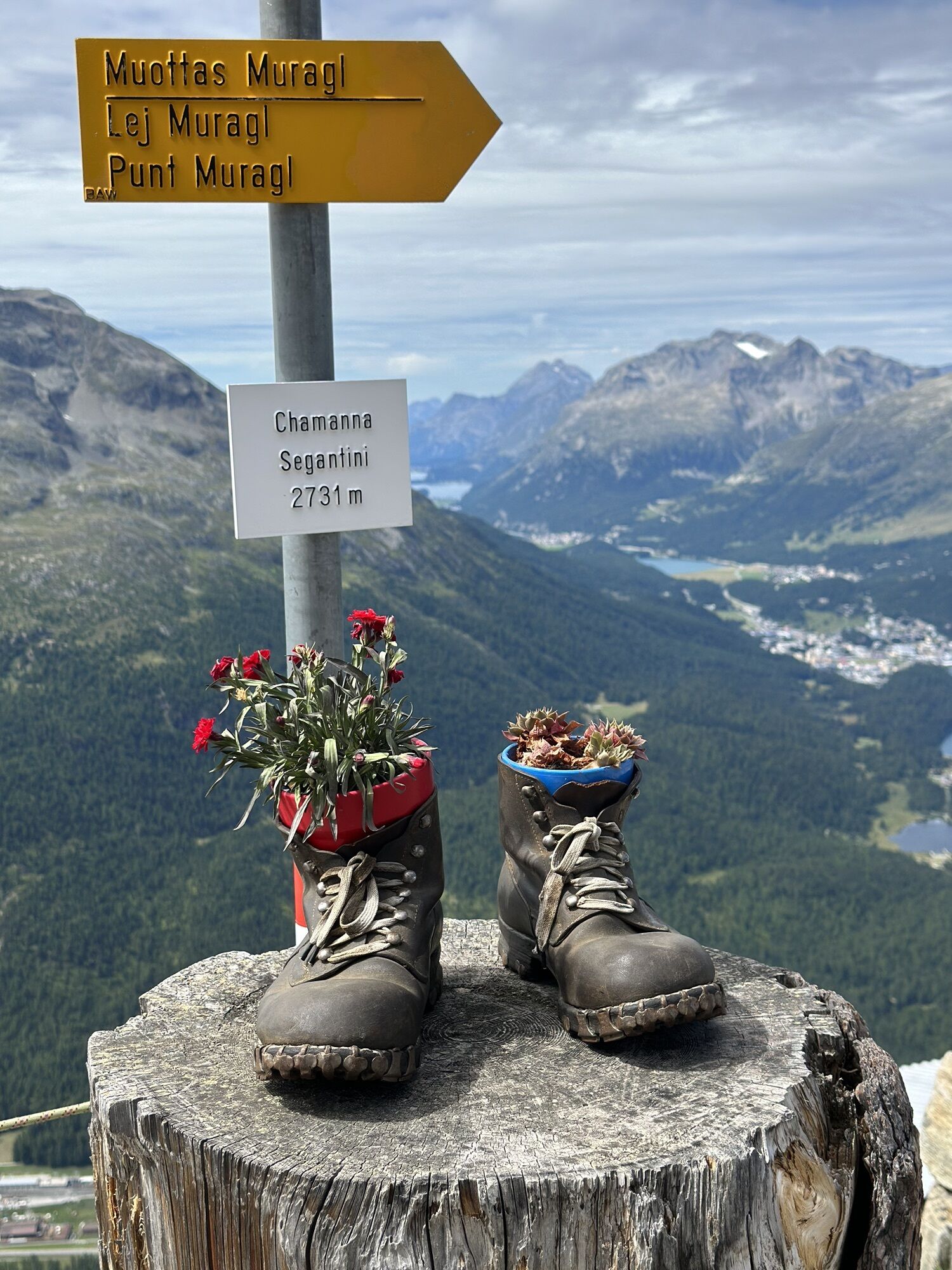
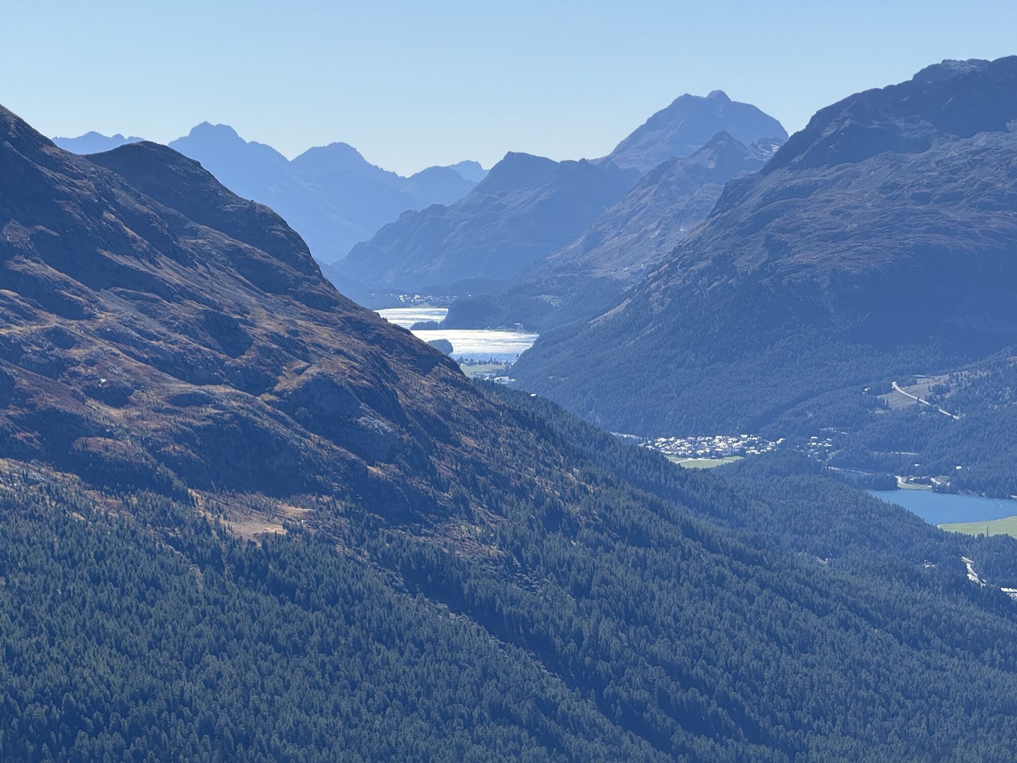
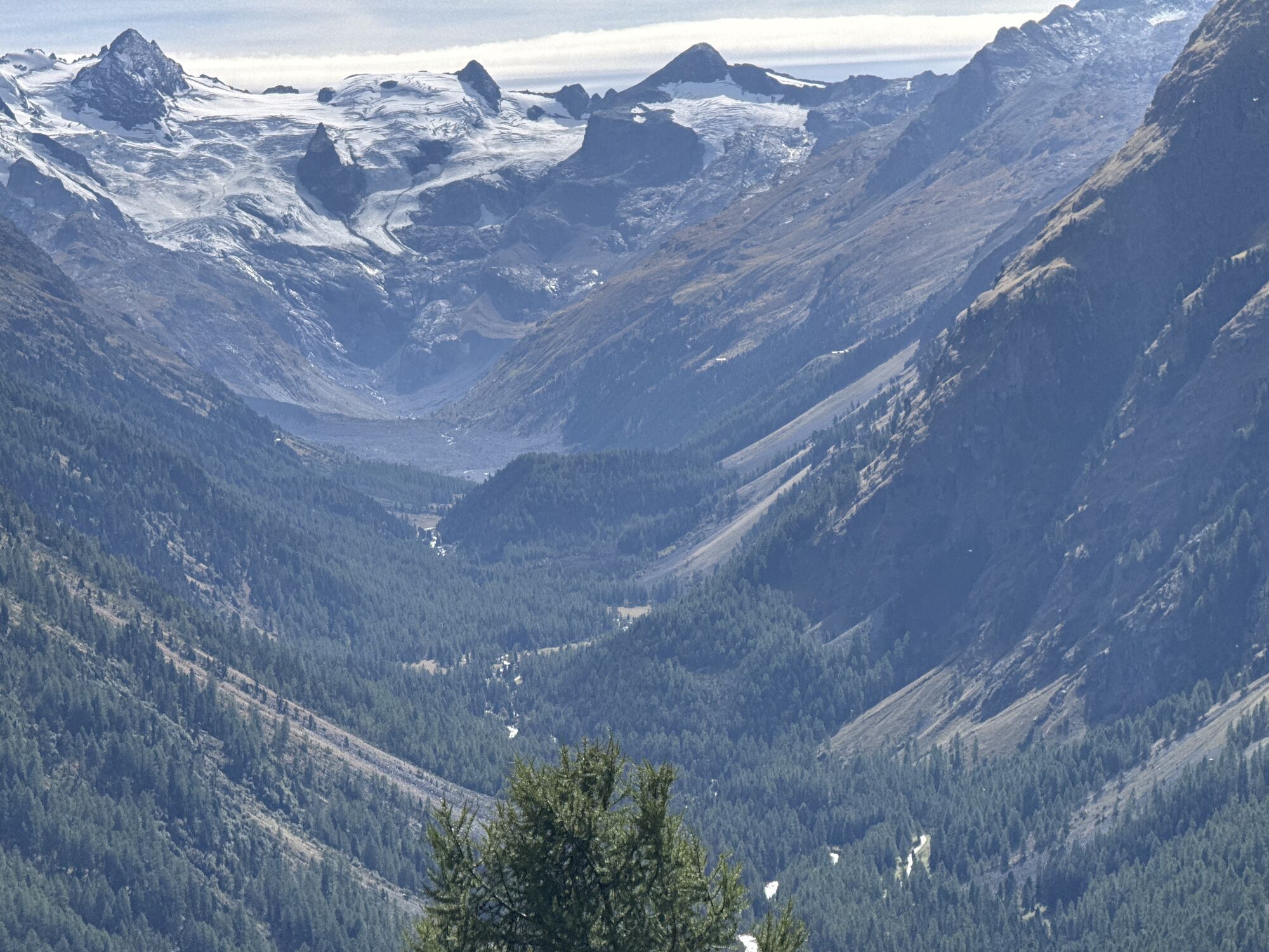
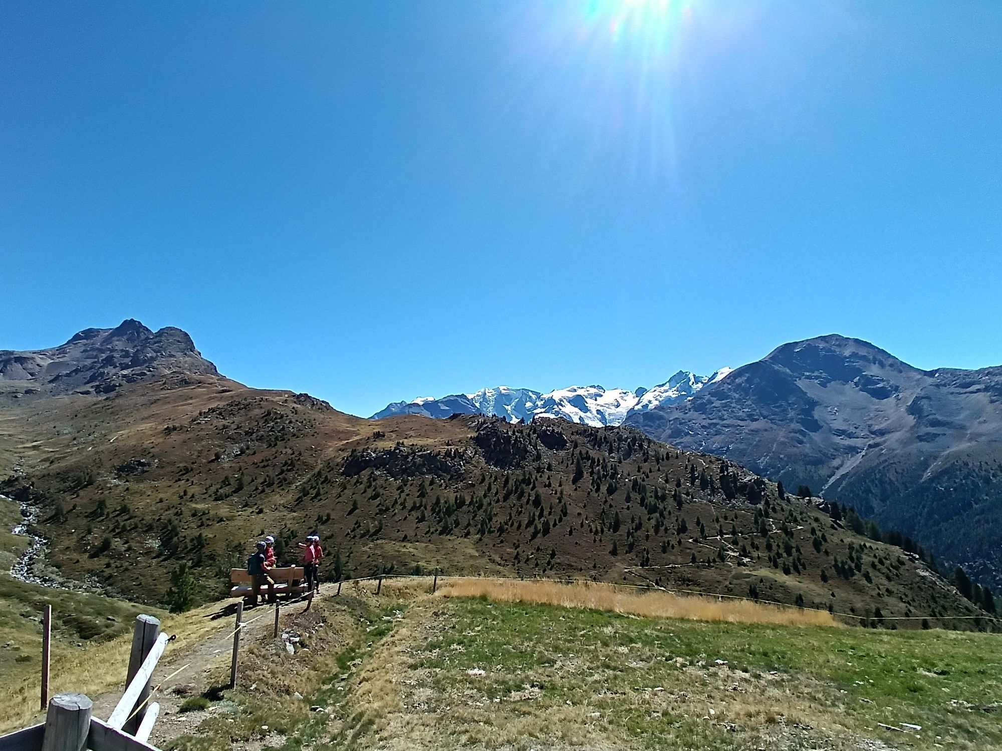
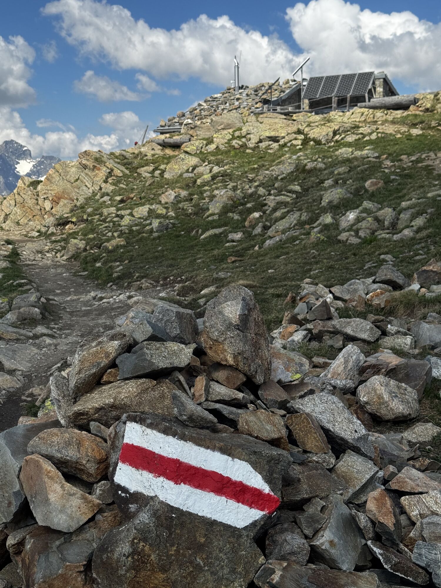
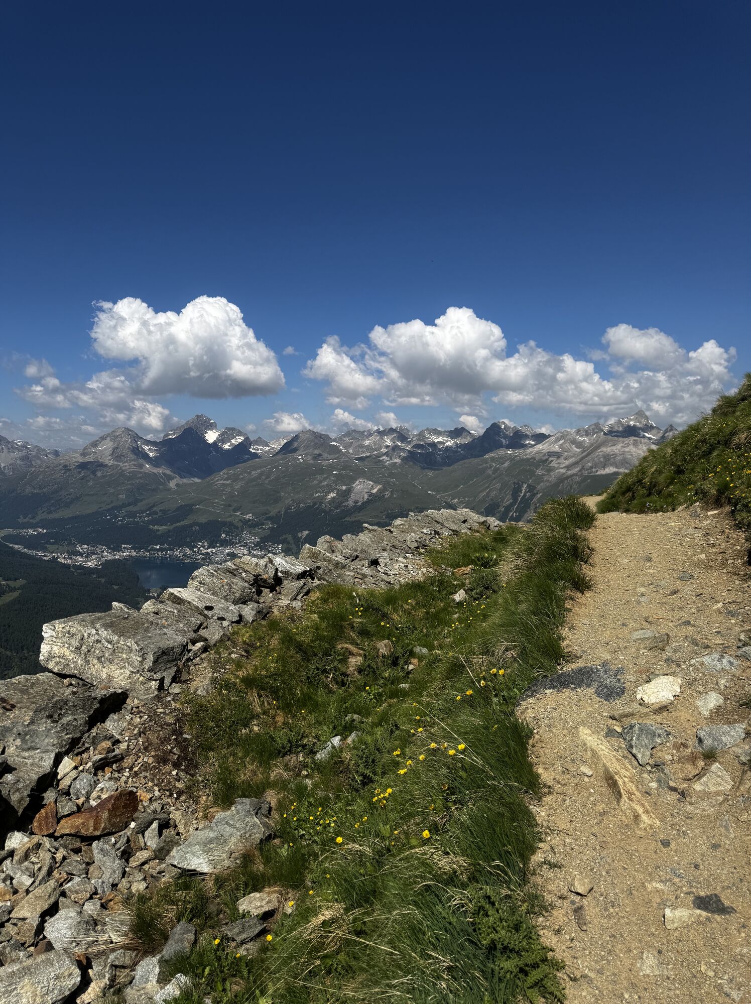
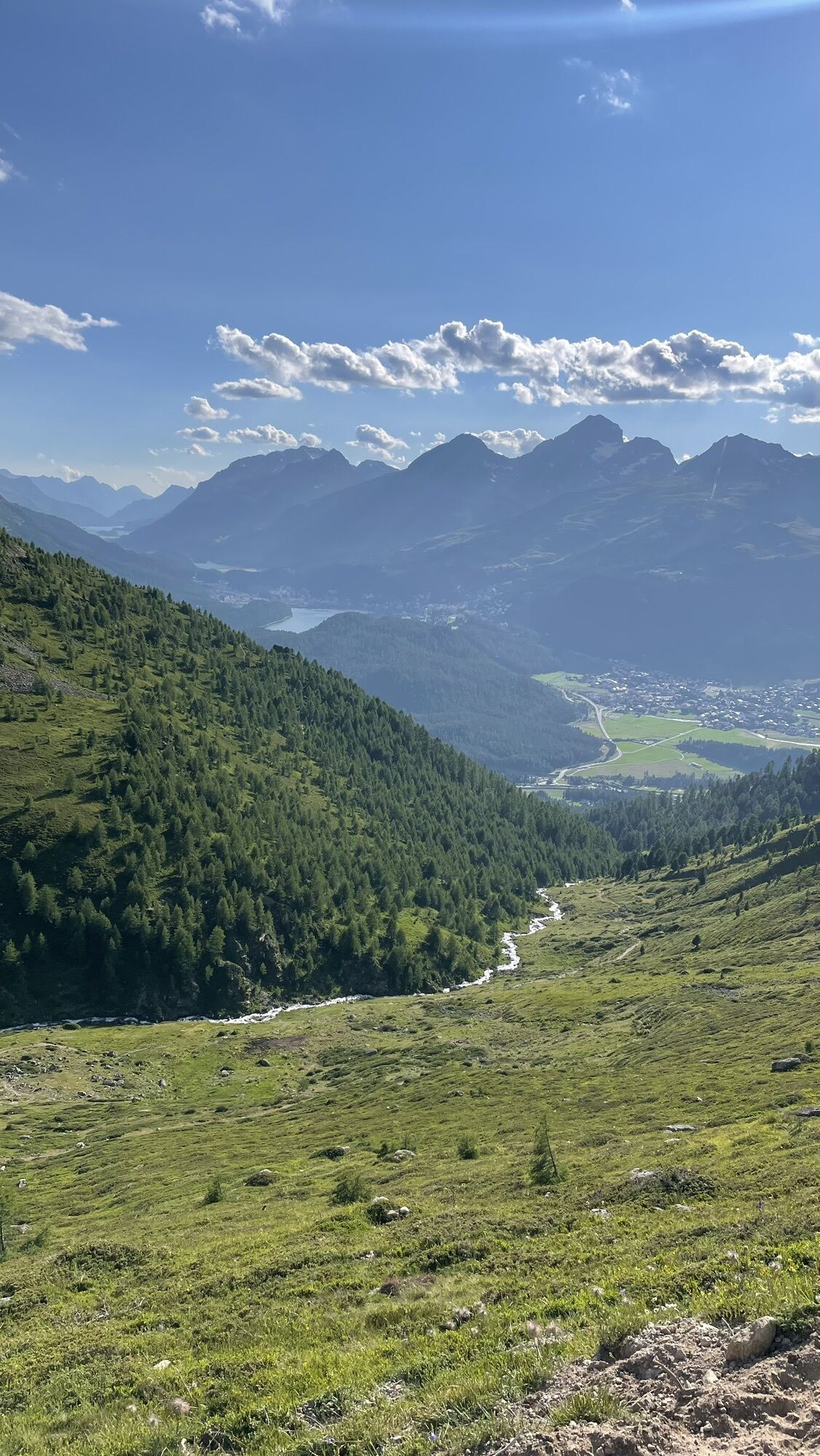
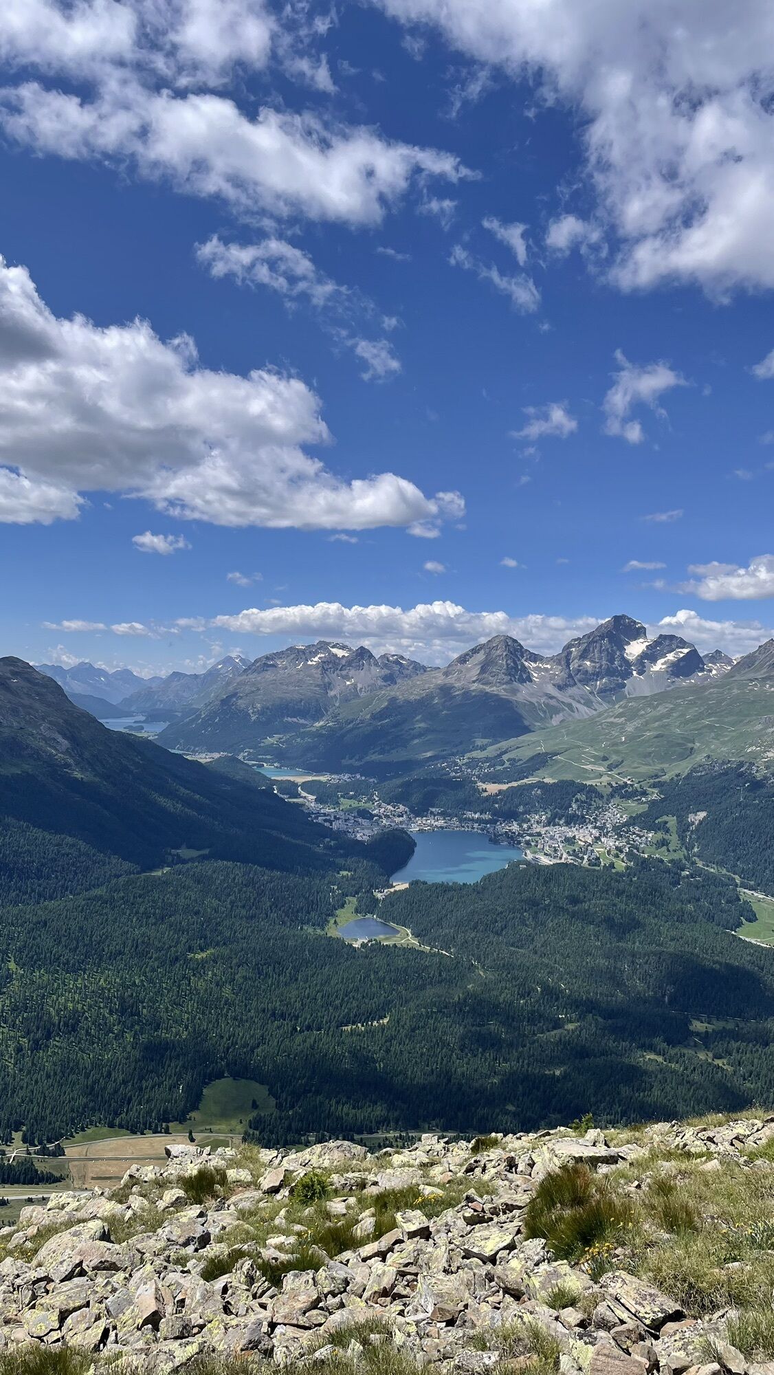
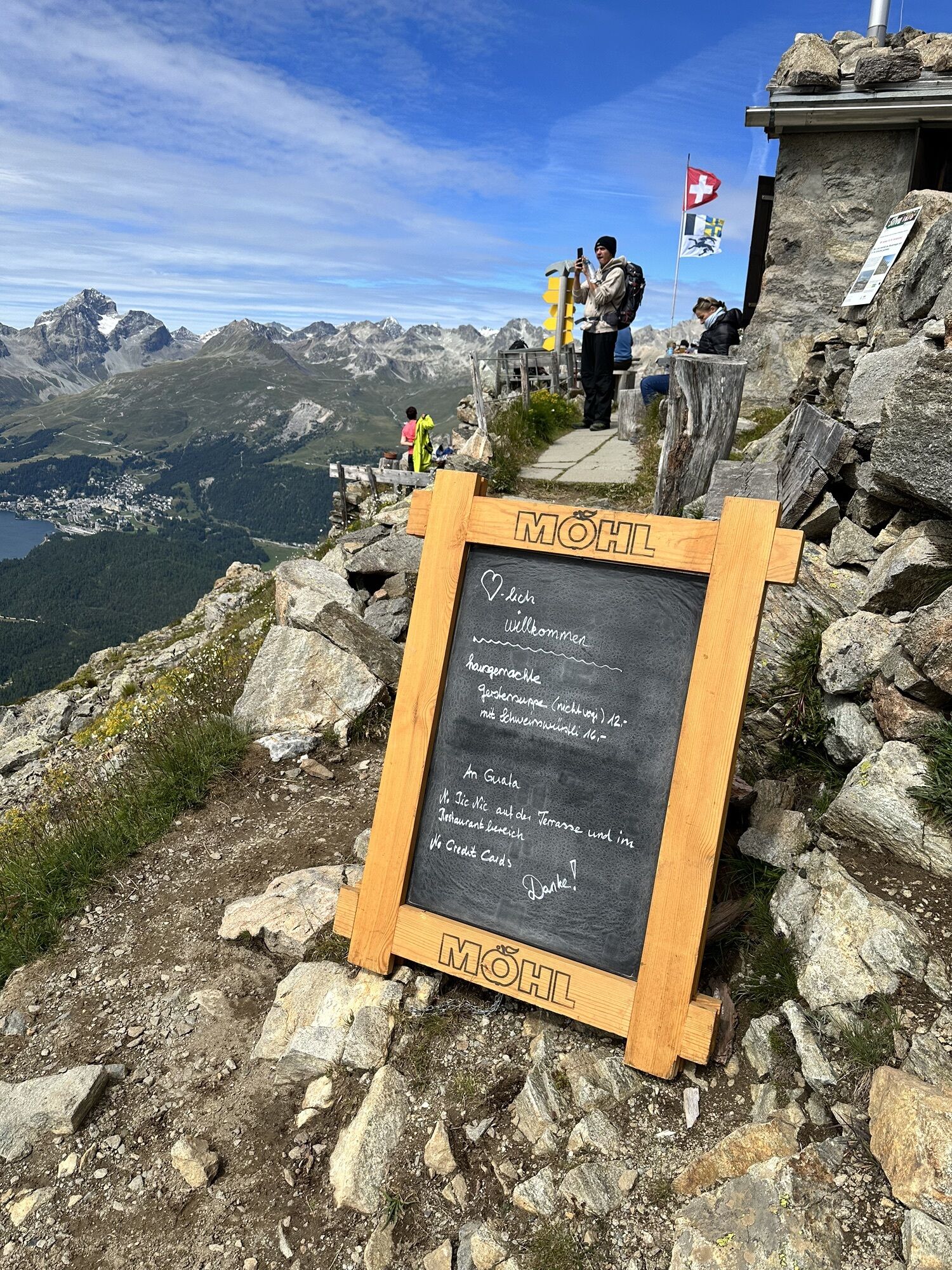
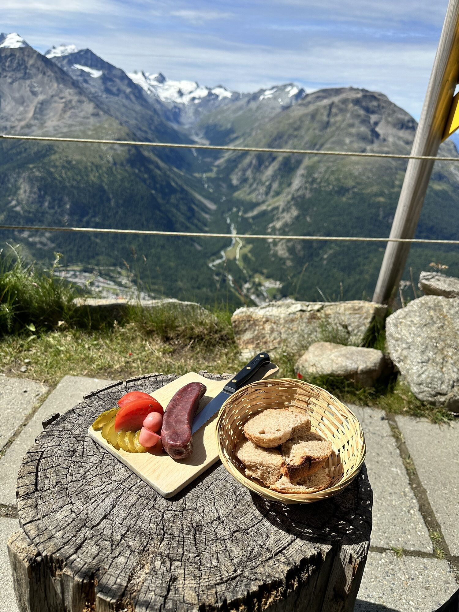
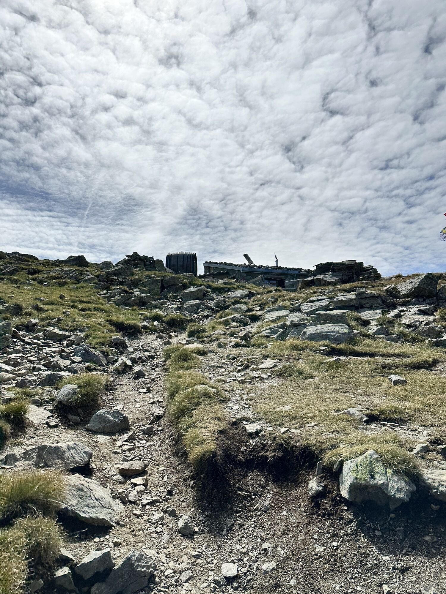
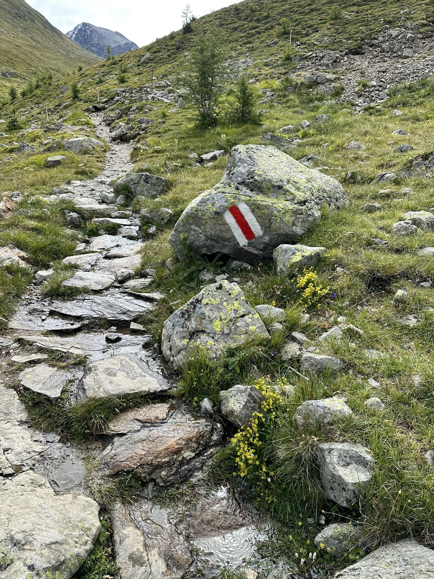
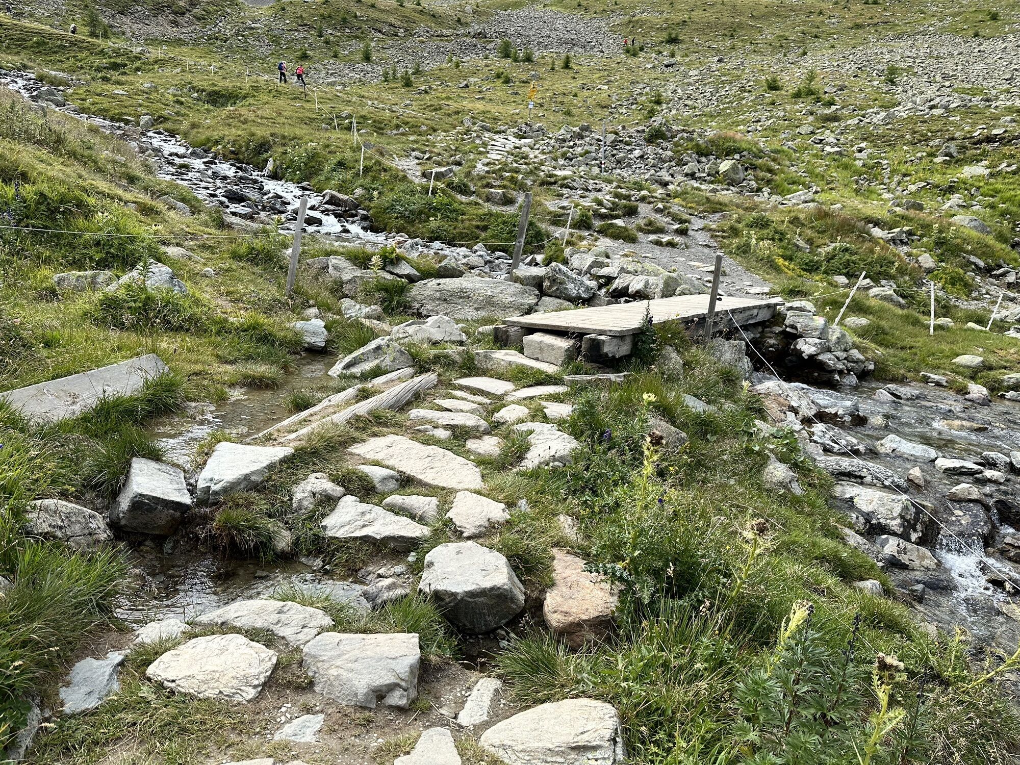
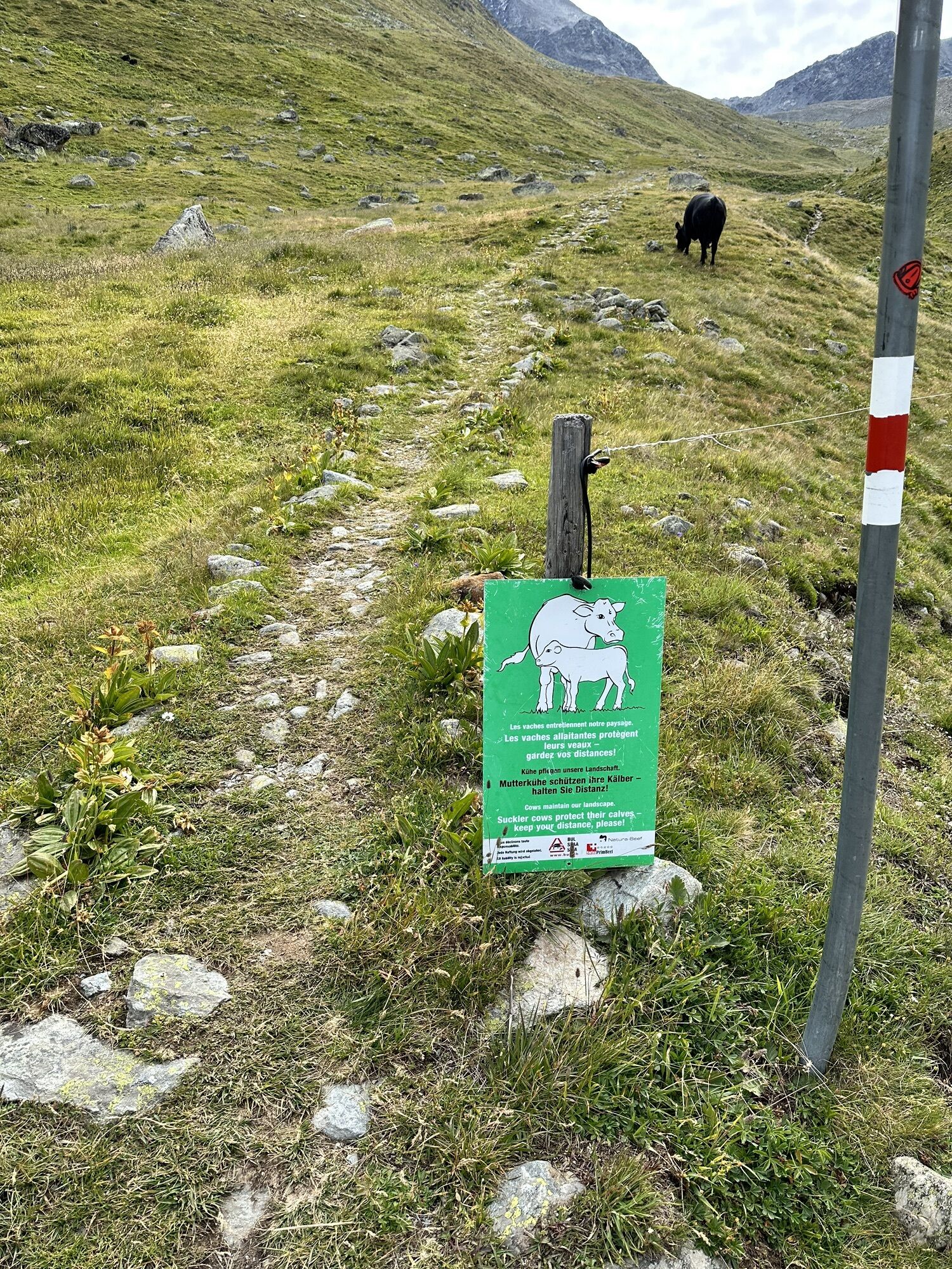
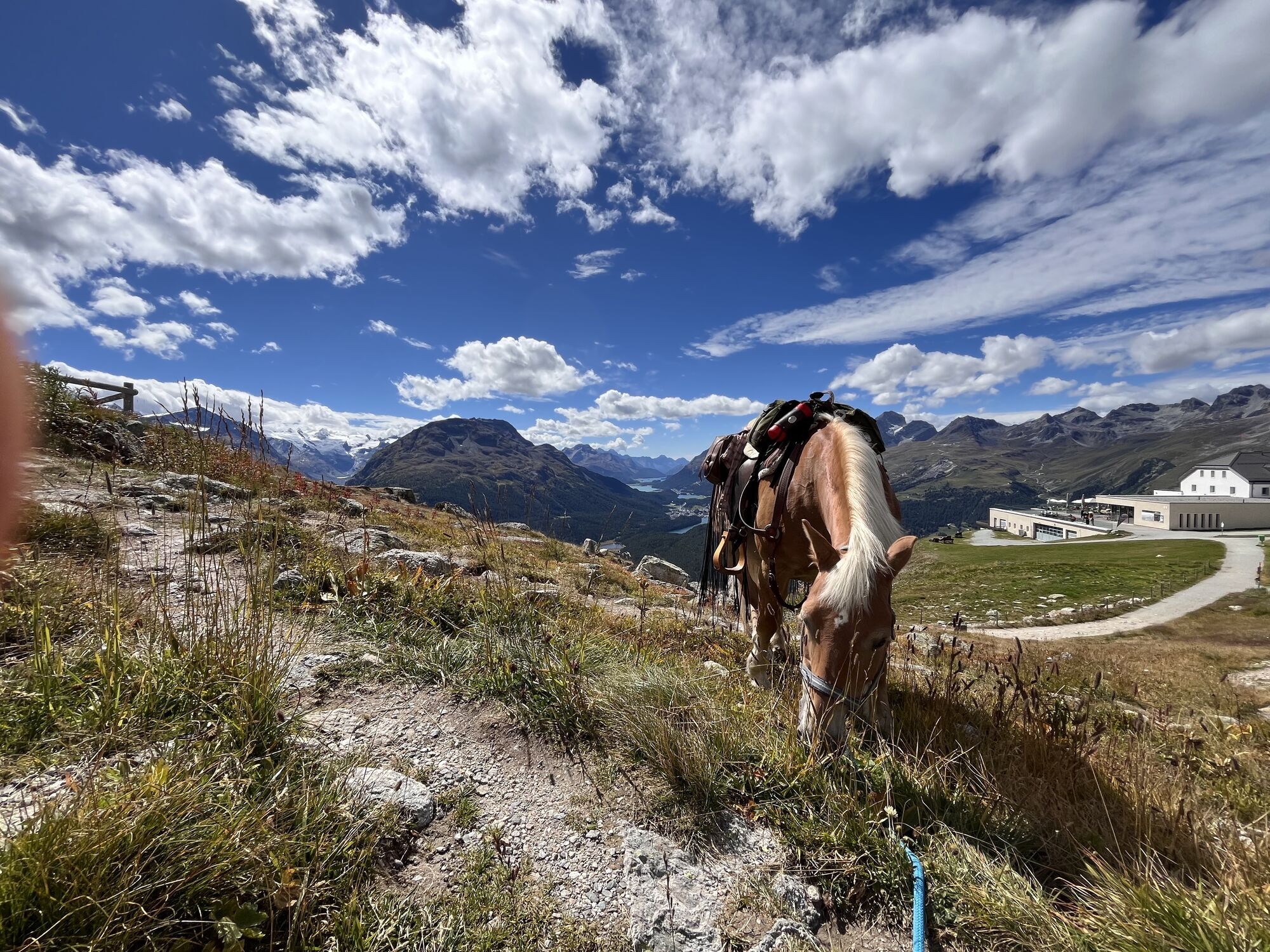
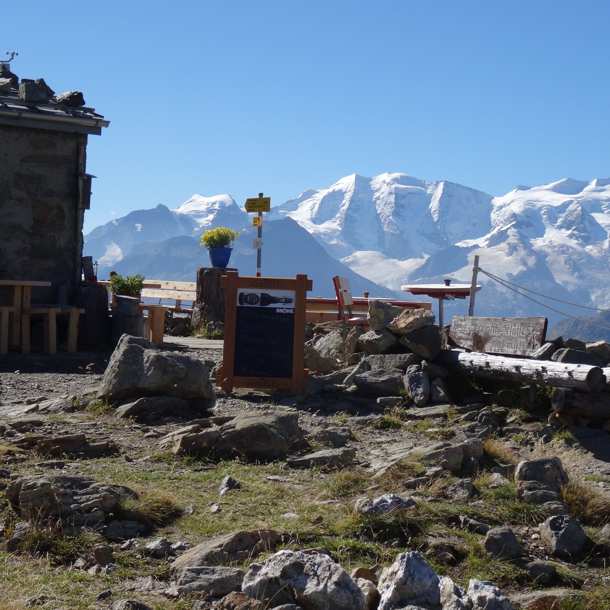
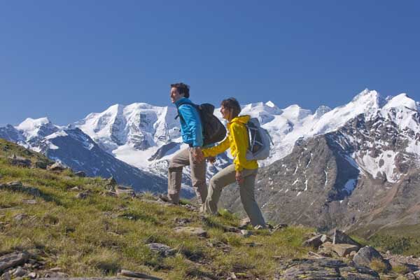
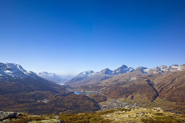
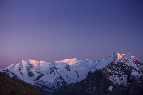
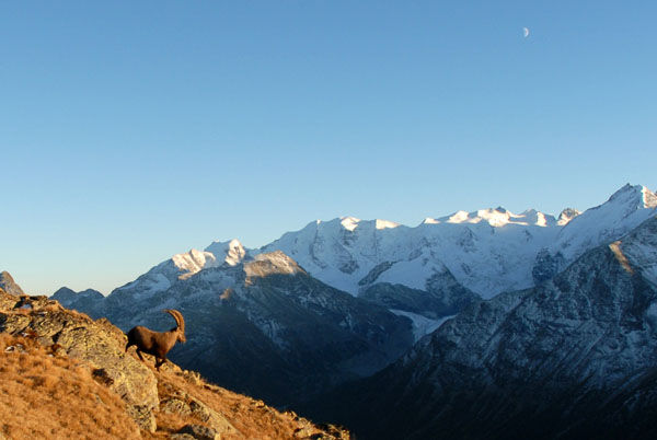
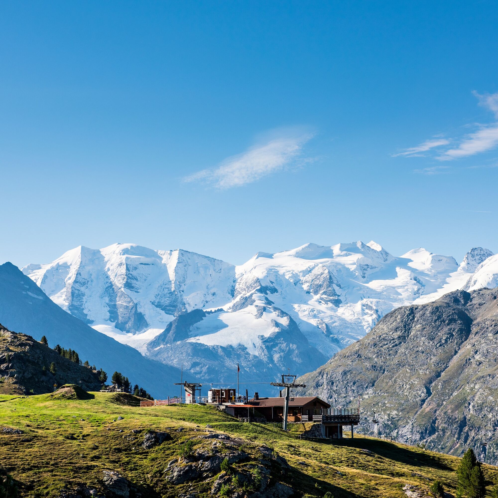
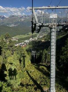
The spectacular ride up to Muottas Muragl already hints at the kind of panorama to expect. "Will I be able to give the nature I paint the lighting that gives color life?" This well-marked but partly steep route leads sure-footed mountain hikers from the Muottas Muragl mountain station (2456 m above sea level) up to Giovanni Segantini's last home. At the Segantini hut (2731 m above sea level) you can enjoy a breathtaking view of the incomparable Engadin lake landscape and the Bernina massif. After a refreshment, you take on the steep descent down to Alp Languard, from where you can soon reach Pontresina by chairlift.
Further information
Engadin Tourism AG
Via Maistra 1
CH-7500 St. Moritz
Phone: +41 81 830 00 01
E-mail: allegra@engadin.ch
Internet: www.engadin.ch



Muottas Muragl - Munt da la Bês-cha - Chamanna Segantini - Alp Languard
Ano
Sturdy footwear
Surefootedness and a head for heights are required. An alternative is to descend directly from the Segantini hut to the Lower Schafberg.
Large car park at Punt Muragl
Instead of hiking directly down to Alp Languard, you can also take the Ibex Trail along the Crasta dals Süts and descend to the Alp Languard chairlift.

Webové kamery z prohlídky
-
St. Moritz / Samedan - Muottas Muragl
-
Camping Morteratsch
-
Samedo - Engadin Golf
-
St. Moritz / Samedan - Muottas Muragl
-
Celerina - Cresta Palace
-
Celerina - Skiwiese Provuler
-
Samedan - Engadin Airport
-
Sporthotel Pontresina
-
Pontresina - Hotel Walther
-
Pontresina - Langlauf und Bikezentrum
-
Pontresina - Eiskletter-Schlucht
-
Pontresina - Hotel Saratz

Aktivity na trase
-

Samedan, Graubünden/Schweiz
23.09.2026 – Turistika -
Pontresina, Graubünden/Schweiz
22.09.2026 – Turistika -
Pontresina, Graubünden/Schweiz
15.09.2026 – Turistika -

Samedan, Grigioni/Svizzera
27.07.2026 – Turistika -

Pontresina-Apl Languard-Segantinihütte-Muottas Muragl, Graubünden/Schweiz
23.06.2026 – Turistika -
Segantinihütte, 15.6.2026
15.06.2026 – Turistika -
Pontresina, Graubünden/Schweiz
11.10.2025 – Turistika -
Muottas Muragl, Graubünden/Schweiz
11.10.2025 – Turistika -

Muottas Muragl, Graubünden/Schweiz
08.10.2025 – Turistika -
Muottas Muragl, Grisons/Switzerland
11.09.2025 – Turistika -
Pontresina, Grigioni/Svizzera
18.08.2025 – Turistika
Oblíbené prohlídky v okolí
-
5.0
Morteratsch station - Boval Hut
středníTuristika 10.5 km -
4.8
Panoramic route Muottas Muragl
světloTuristika 6.75 km -
4.7
Diavolezza - Munt Pers
světloHorská turistika 3.82 km -
4.5
Pontresina - Val Roseg - Pontresina
světloTuristika 13.8 km -
4.8
Alp Languard - Segantini Hut - Muottas Muragl
středníTrailrunning 6.45 km -
4.8
SAC Tschierva
světloTuristika 24.7 km -
4.7
Morteratsch Glacier route
světloTematická stezka 2.88 km -
4.8
Around Lake St. Moritz
světloTuristika 4.32 km -
Muottas Muragl - Segantini Hütte - Pontresina
středníTuristika 17.5 km -
4.8
Lagalb - Val Minor - Motta Bianca - Lagalb
středníTuristika 9.80 km
Pěší turistika a stopování


Nenechte si ujít nabídky a inspiraci pro vaši příští dovolenou
Vaše e-mailová adresa byl přidán do poštovního seznamu.





