







Morteratsch station - Boval Hut
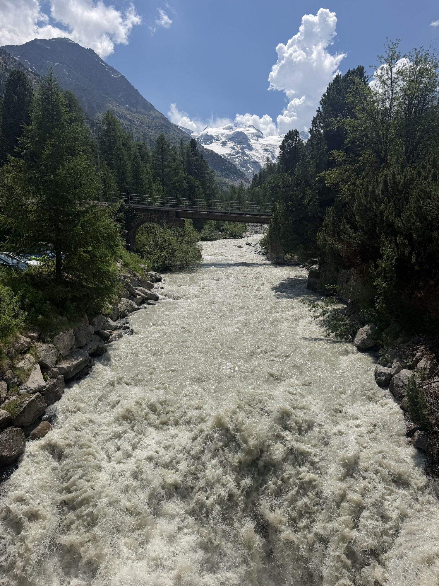
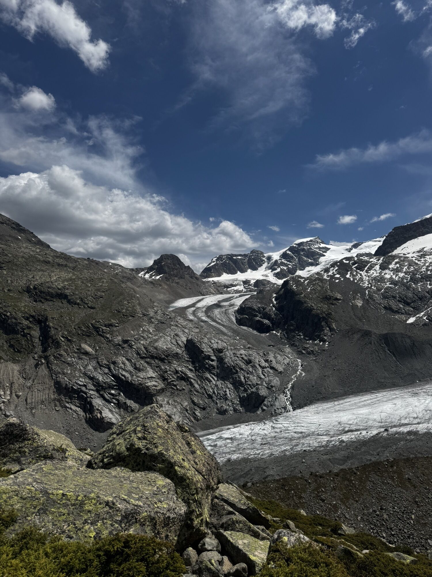
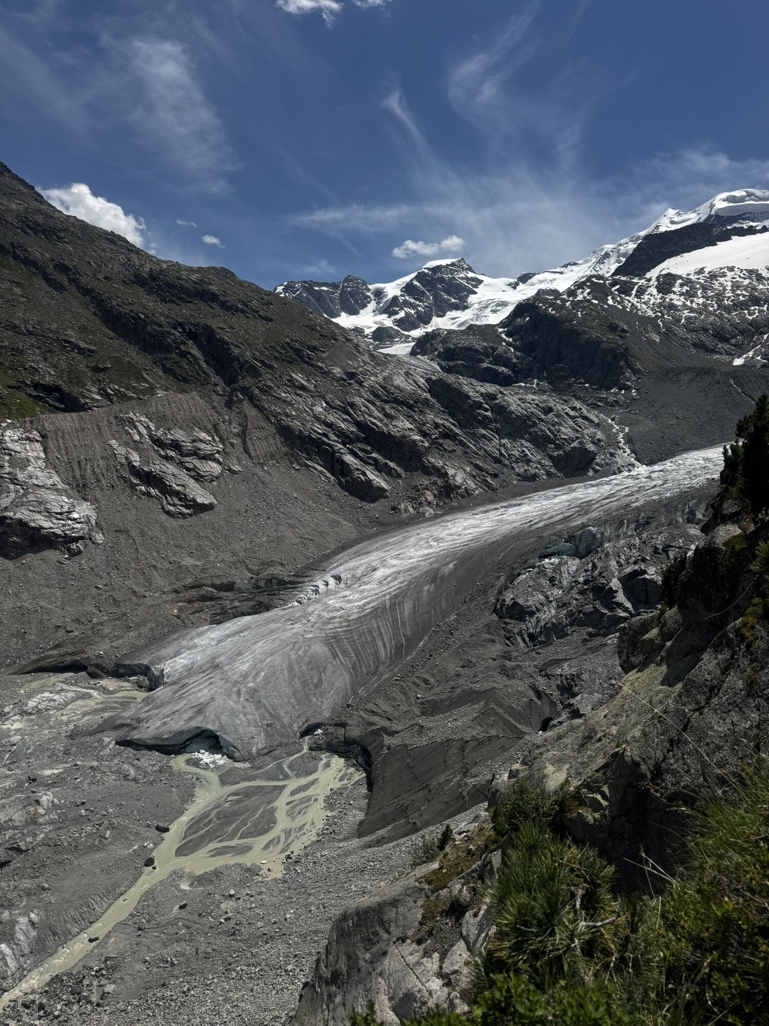
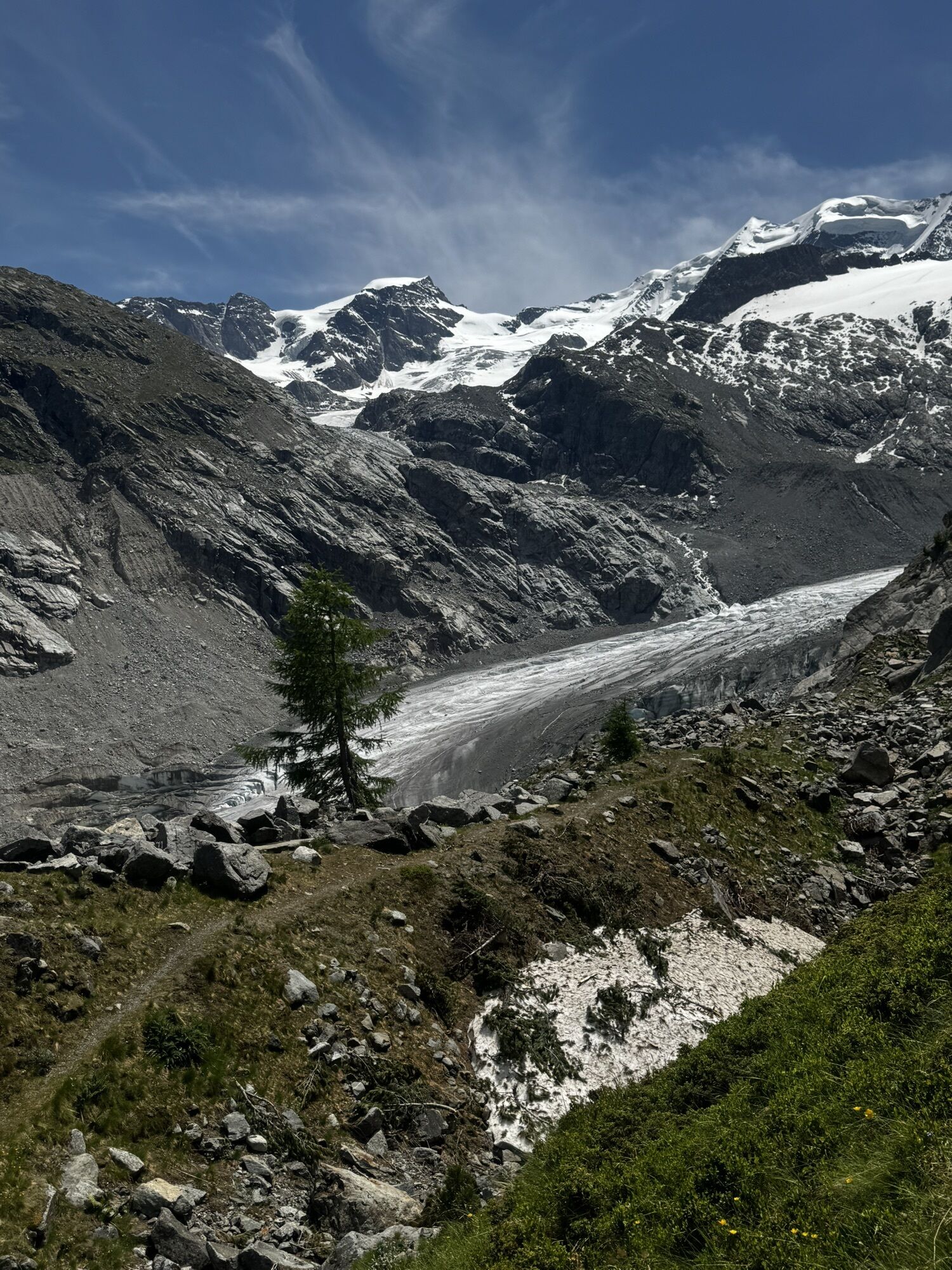
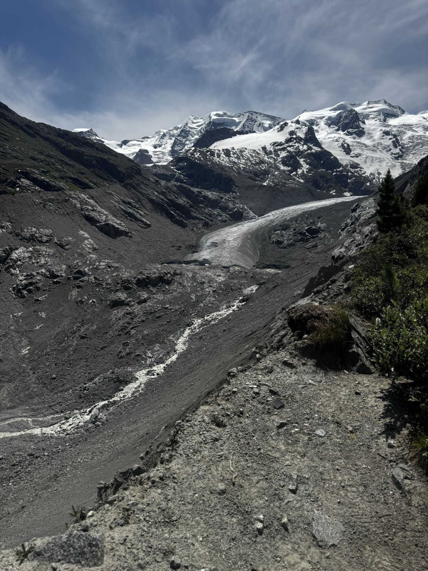
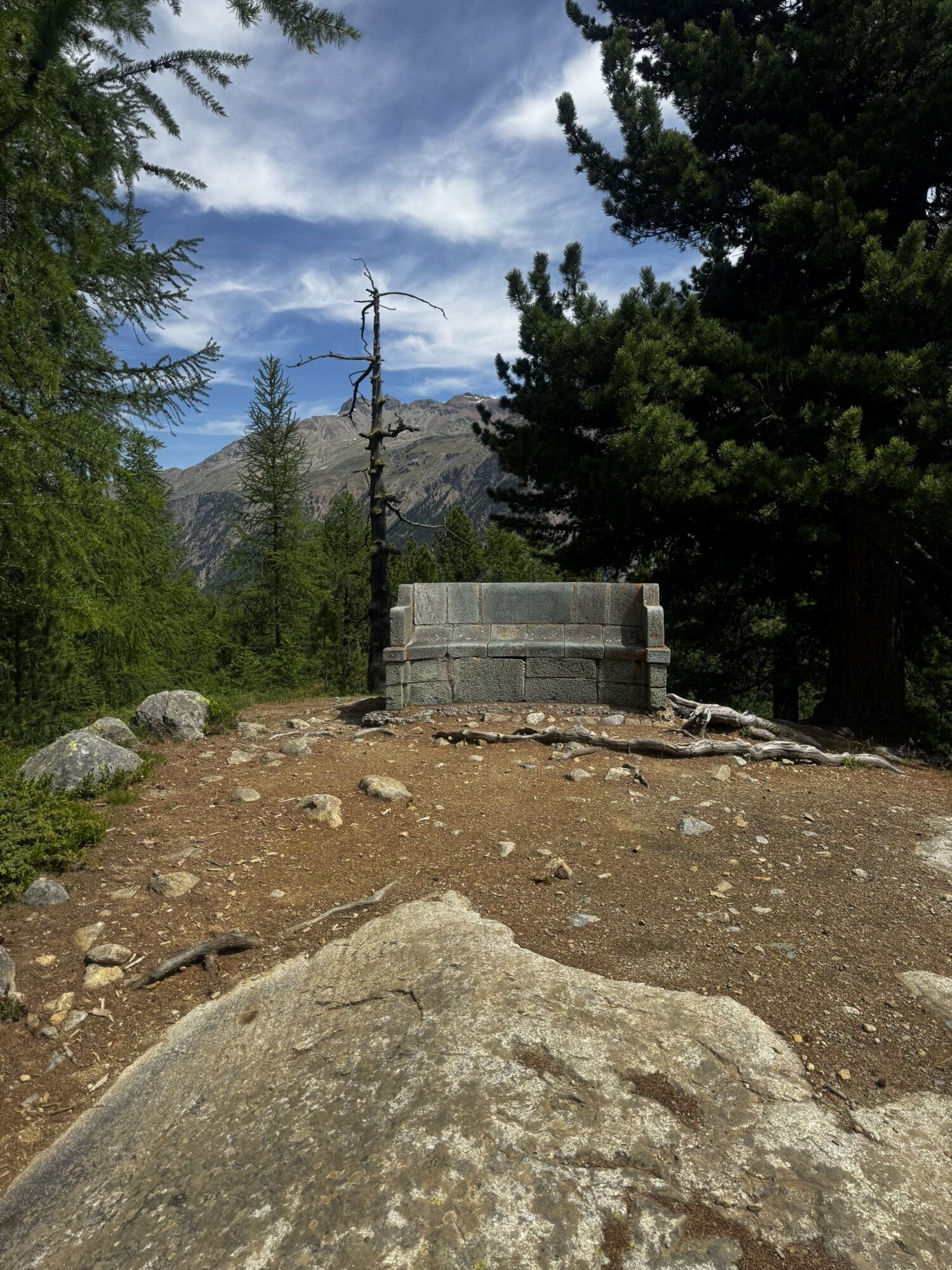
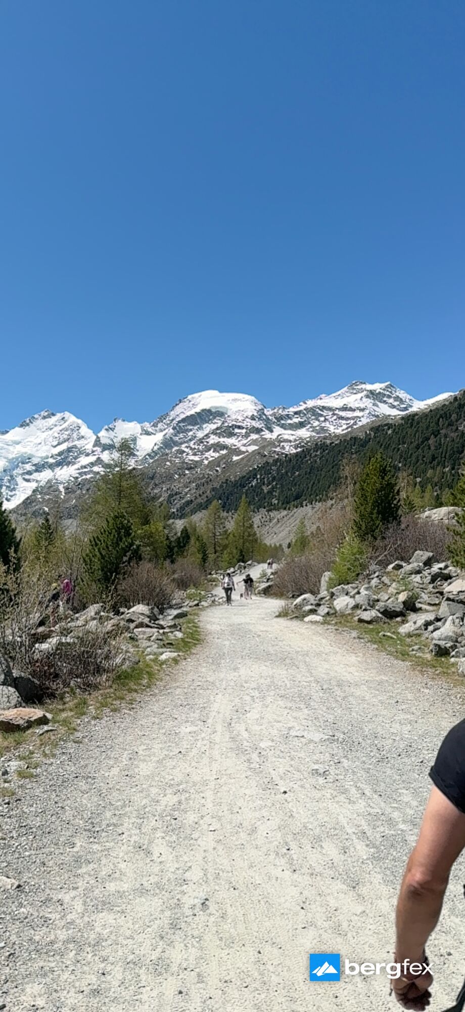
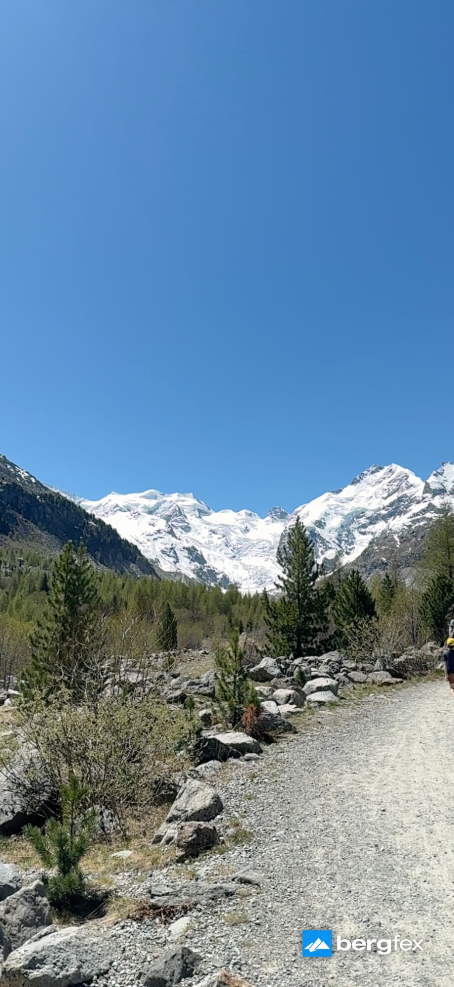
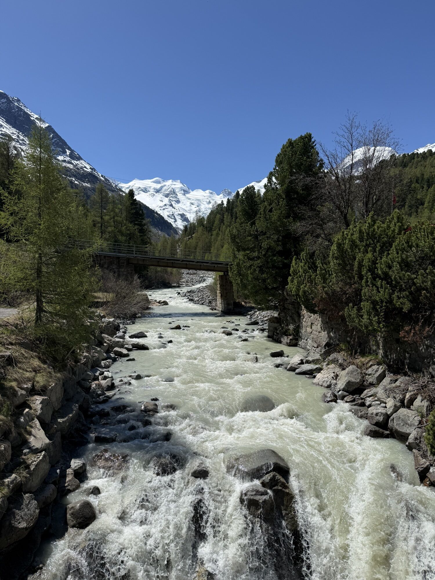
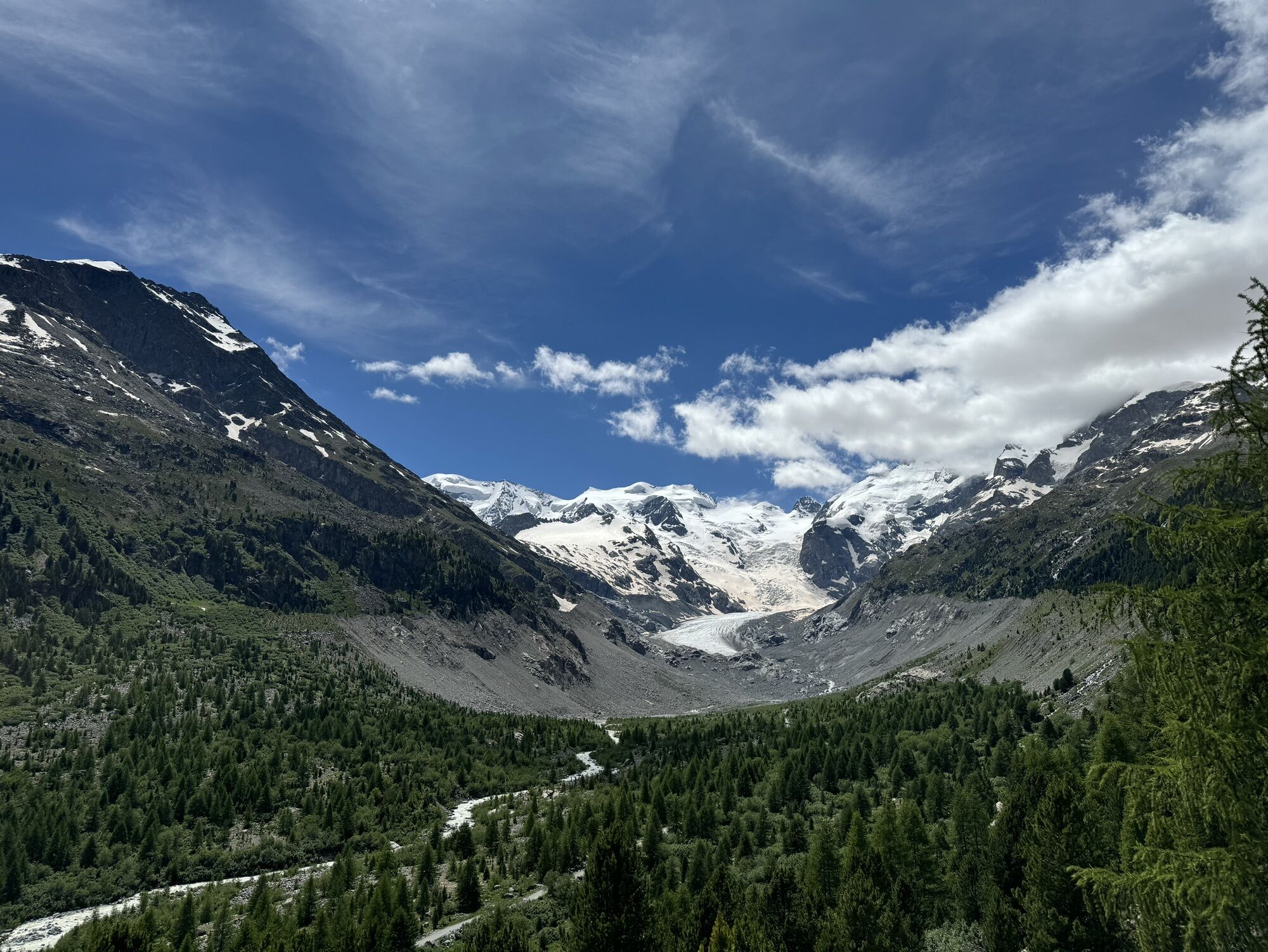
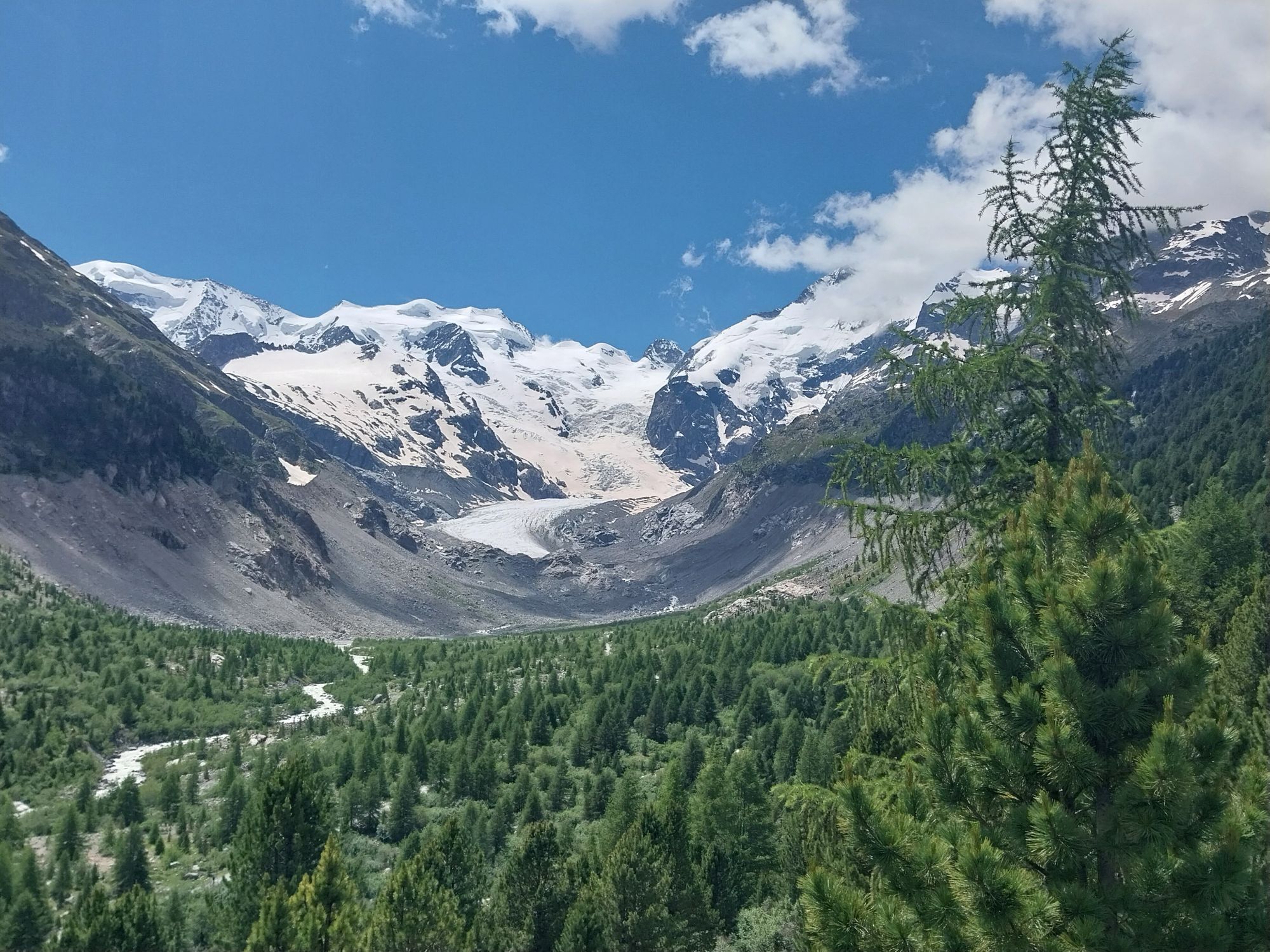
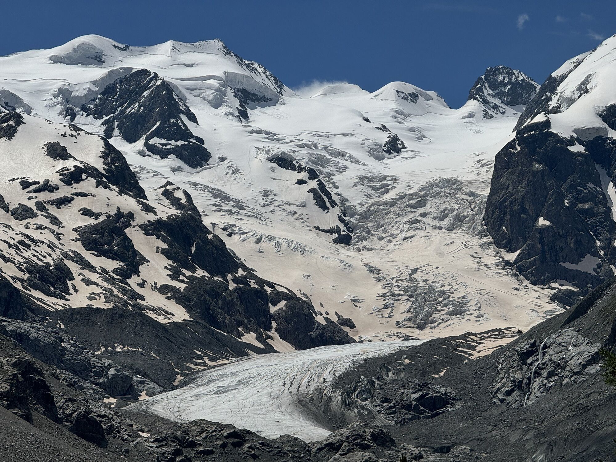
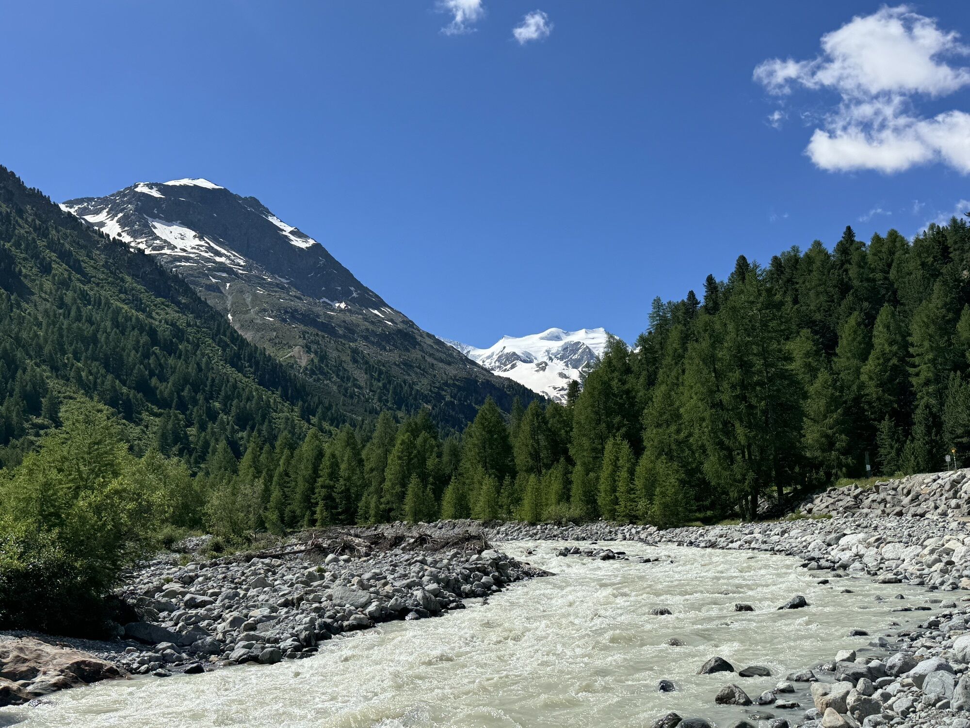
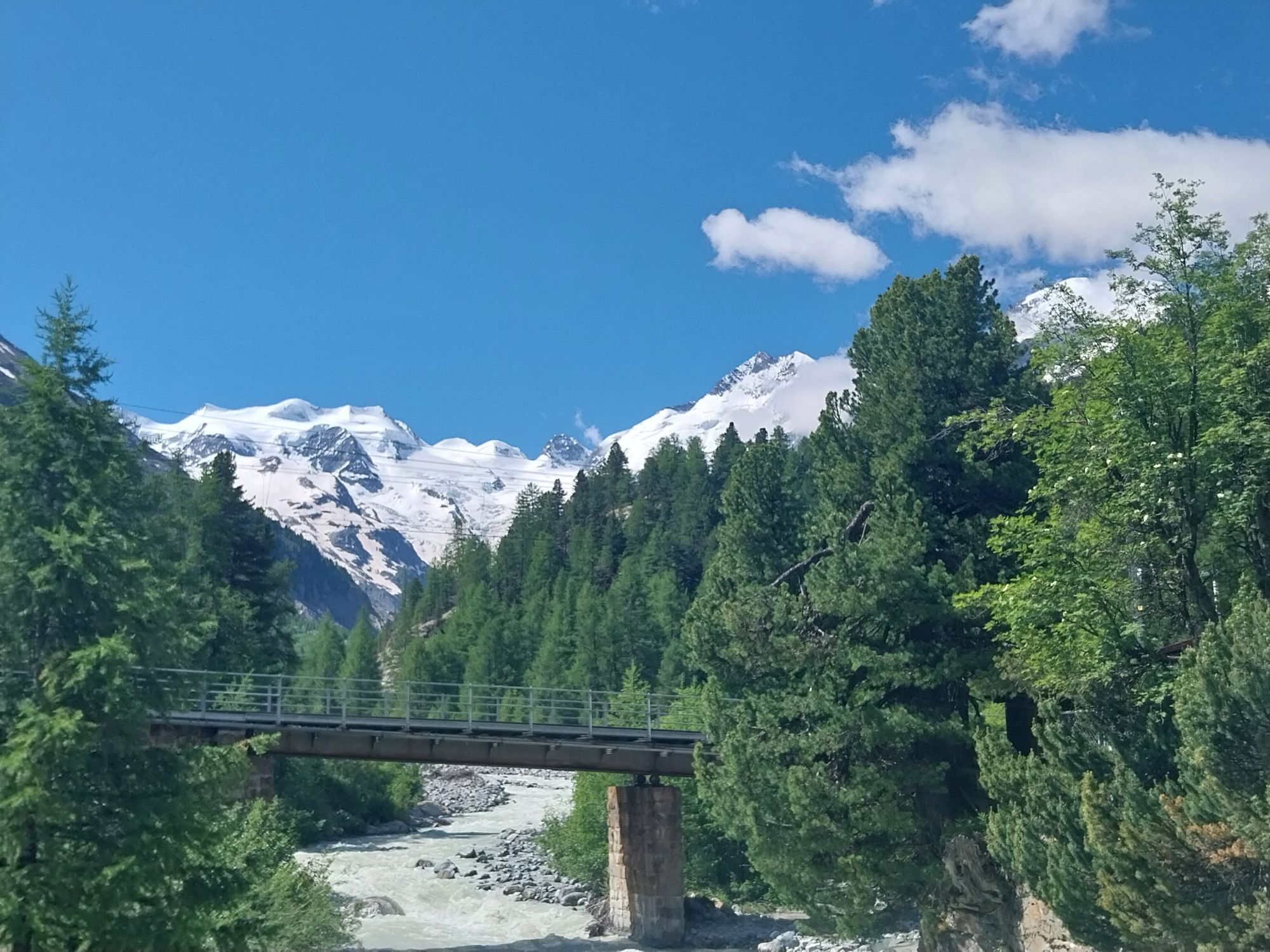
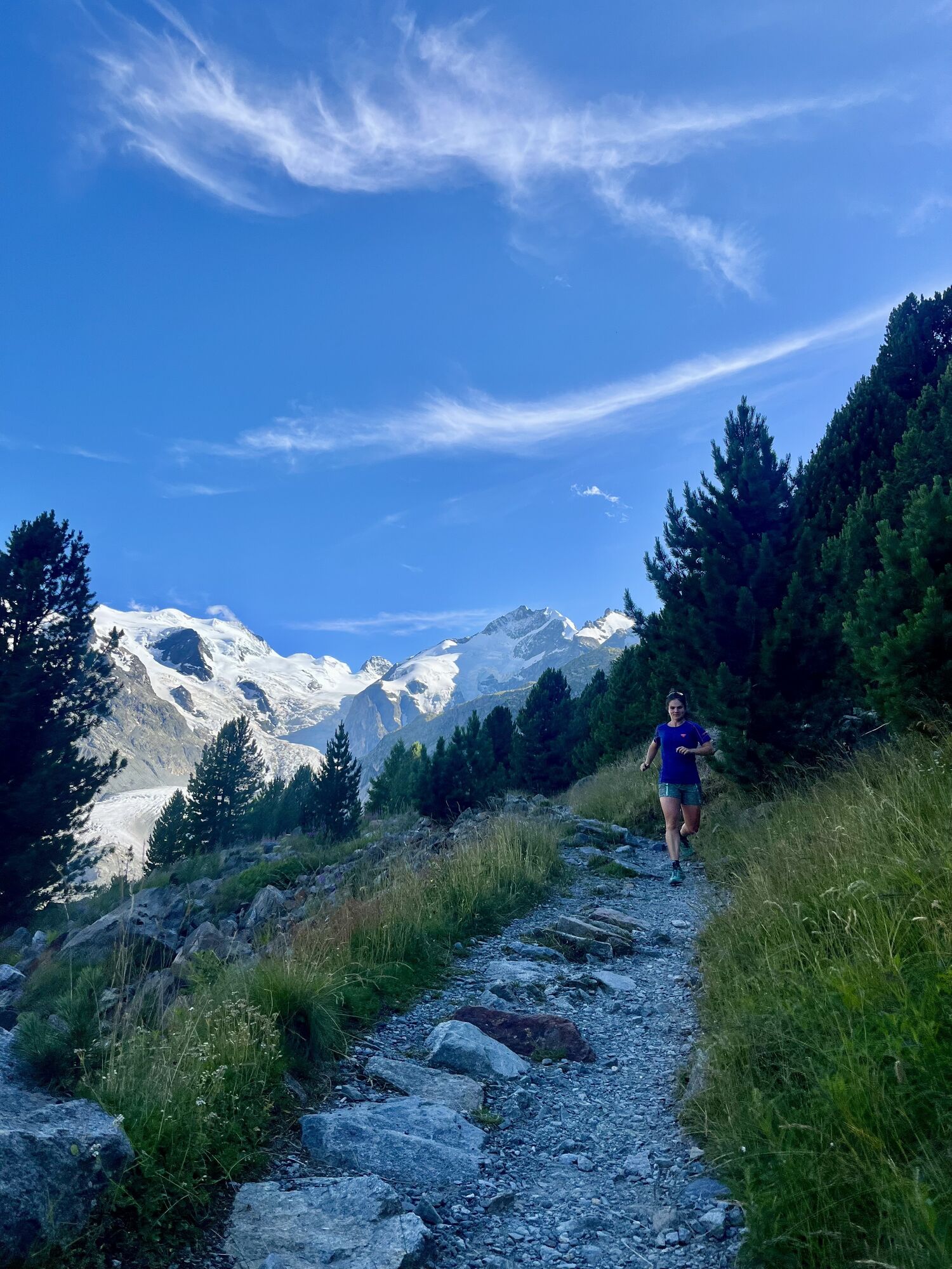
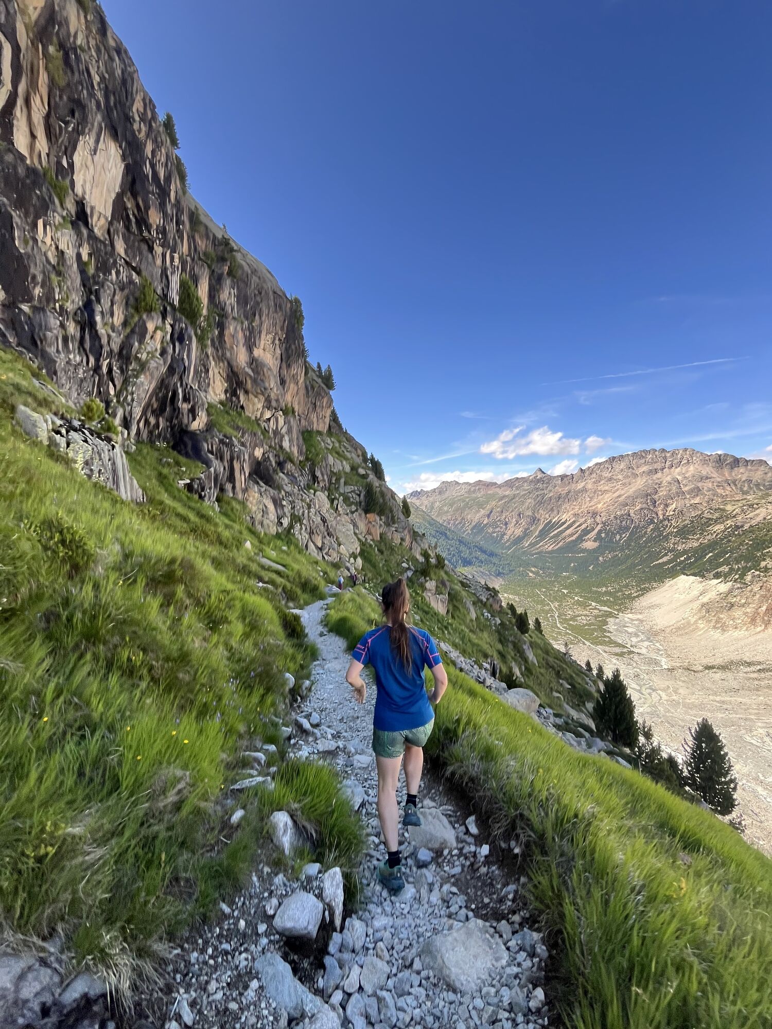
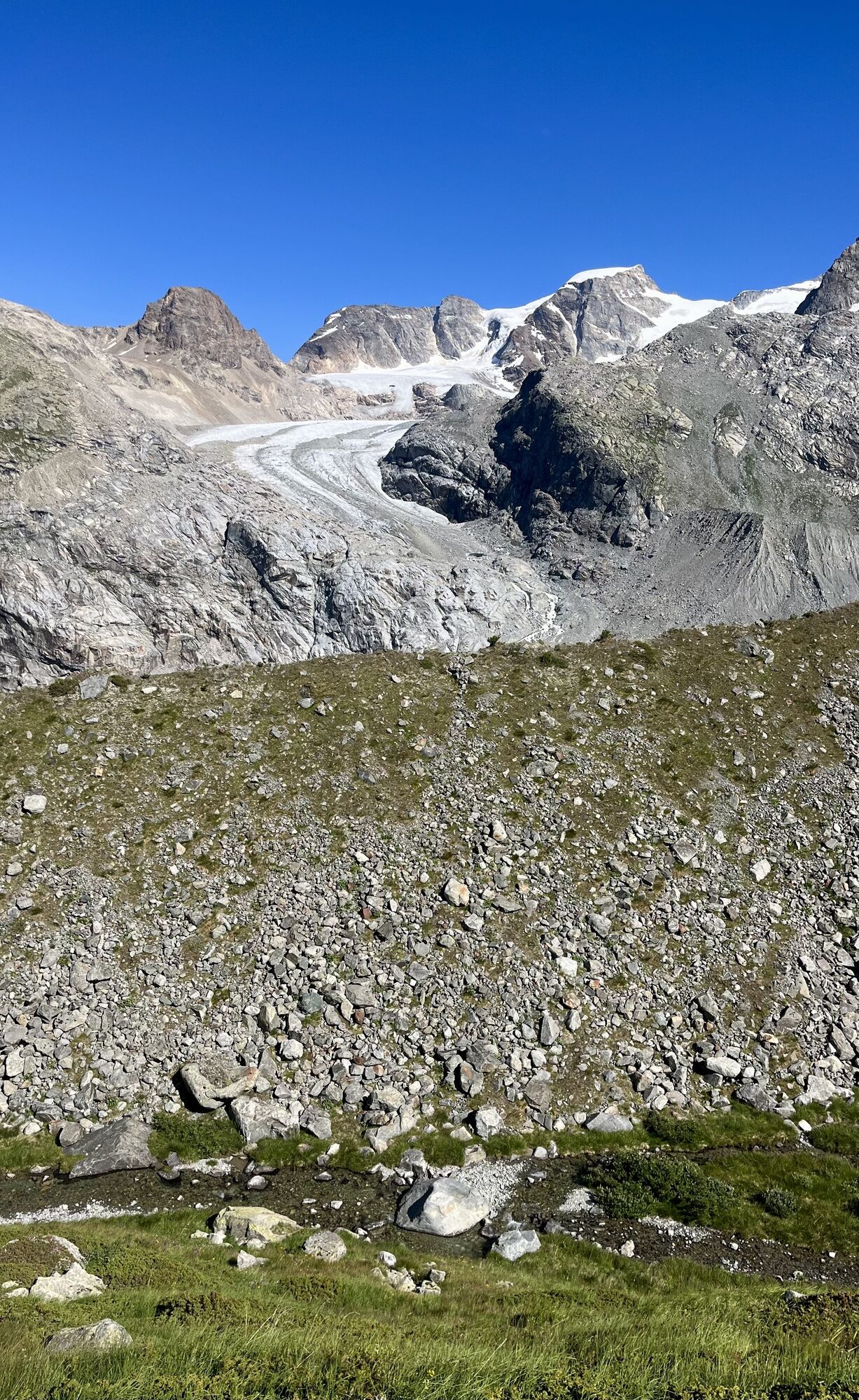
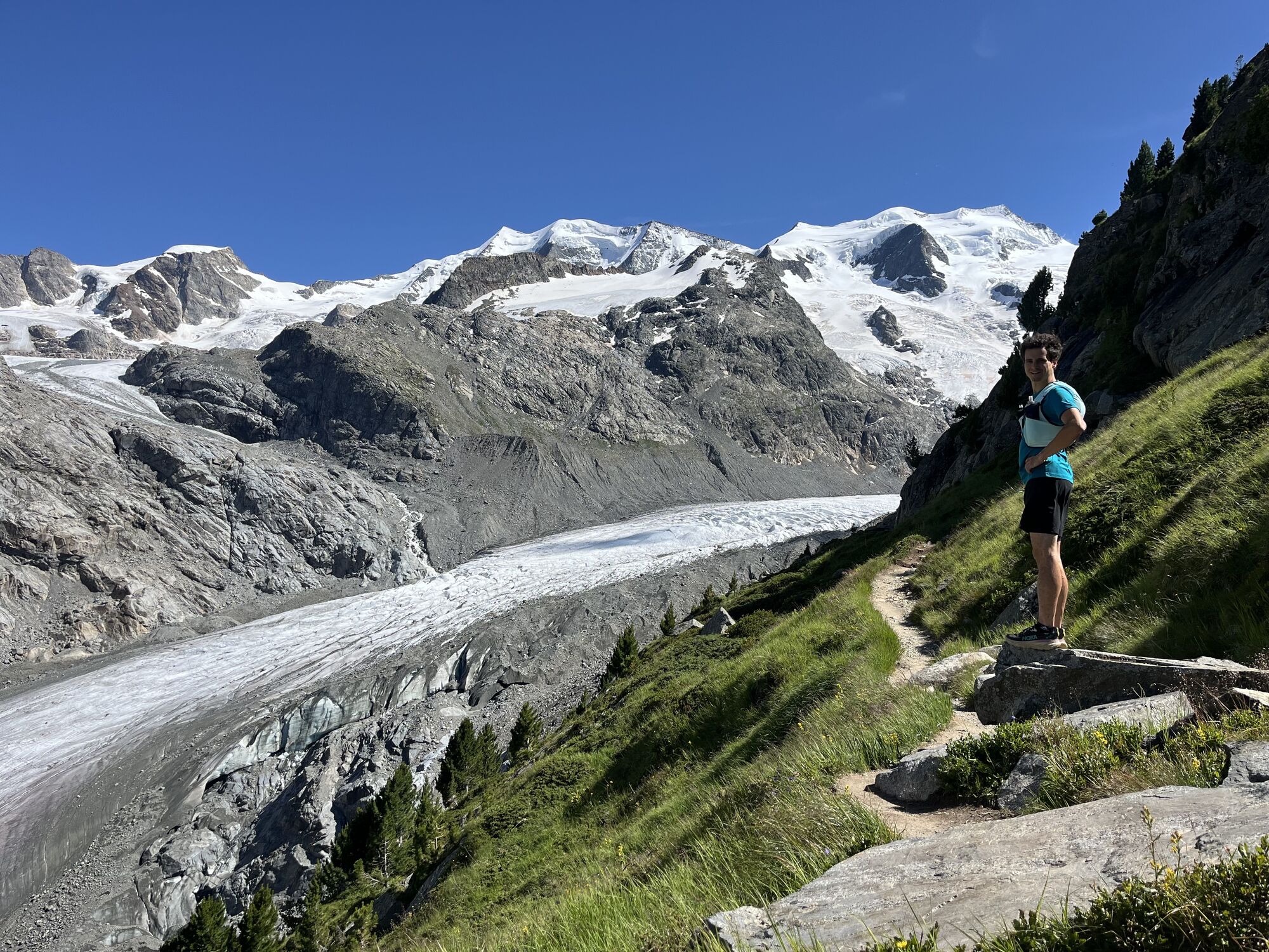
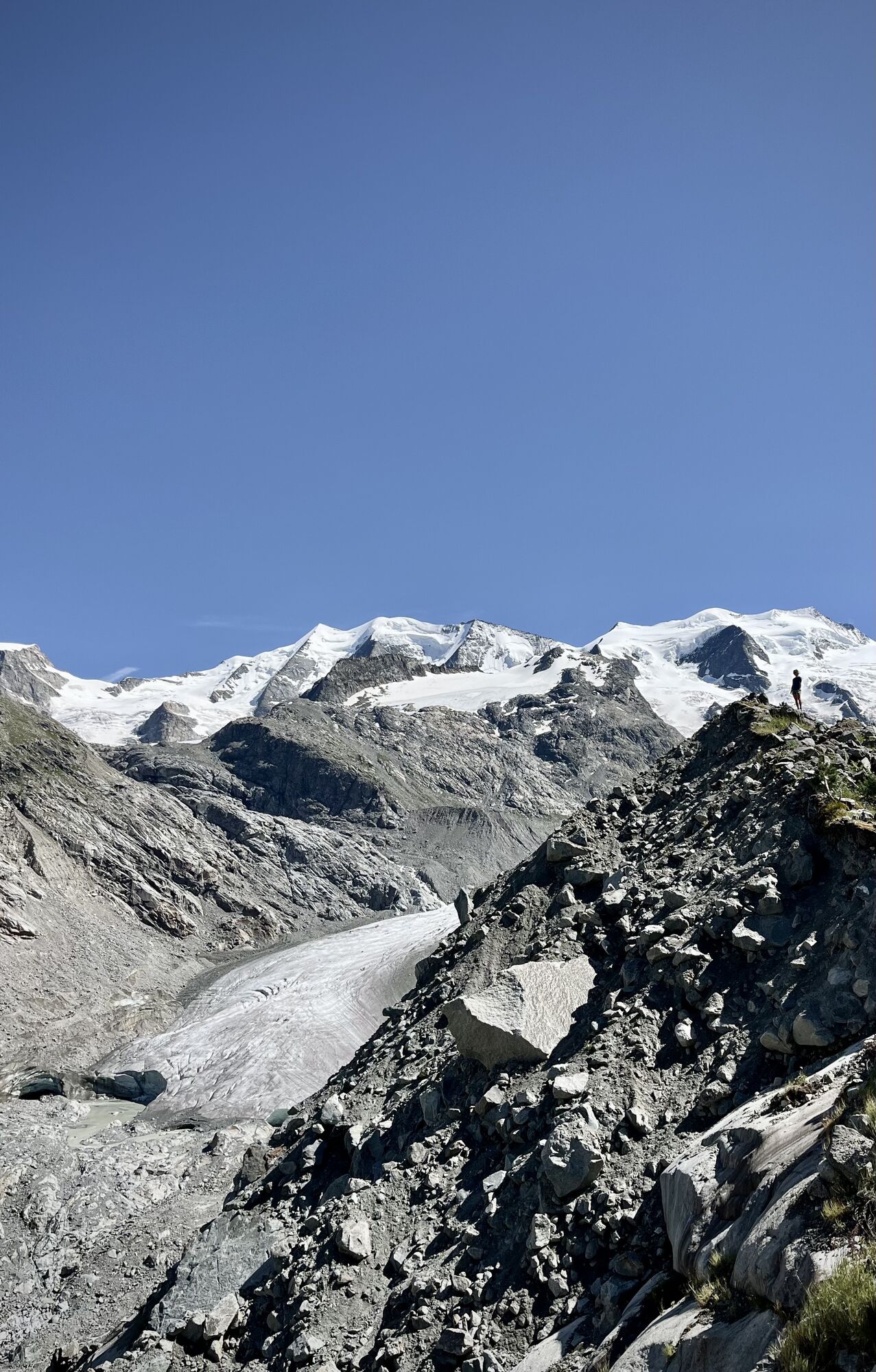
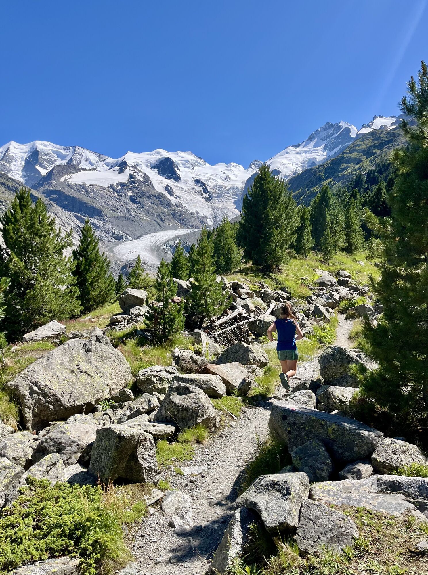
This hike starts at Morteratsch station. After crossing the tracks, the path branches off to the right and ascends. You now hike - partly on and behind the glacier moraine - always towards the glacier,...
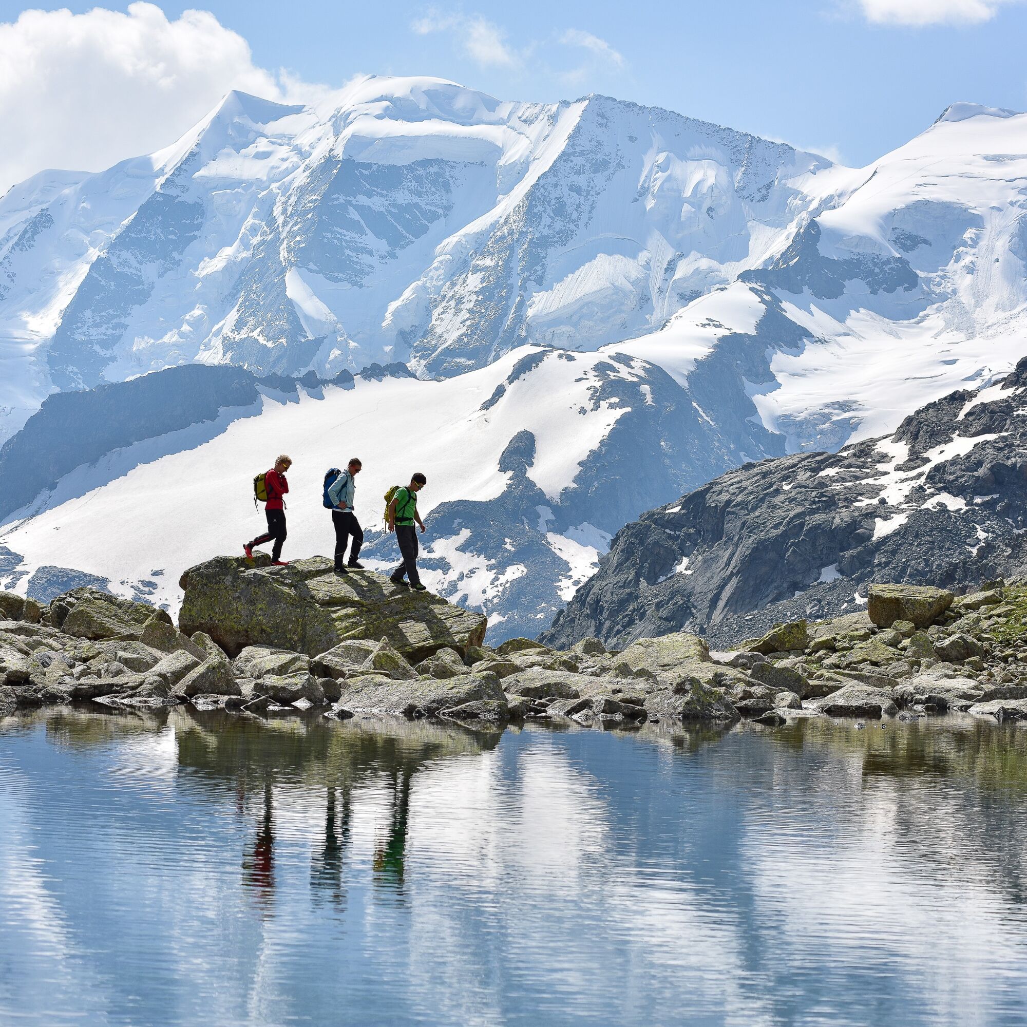
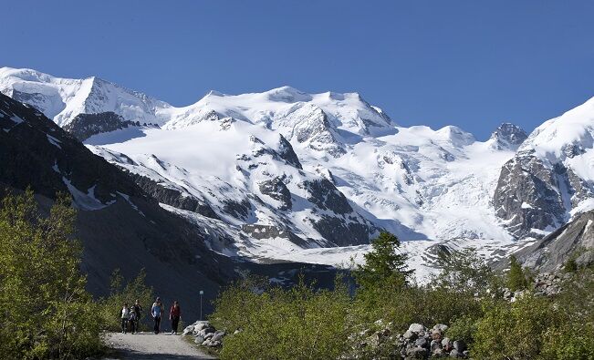
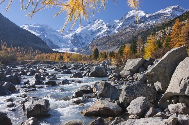
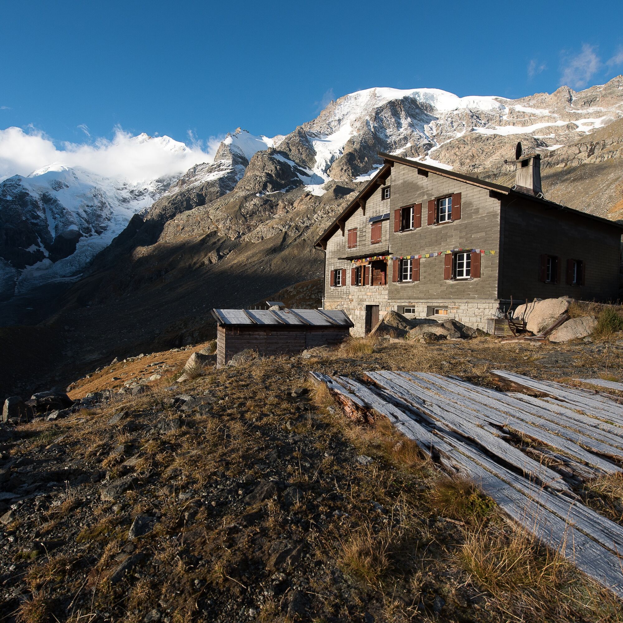
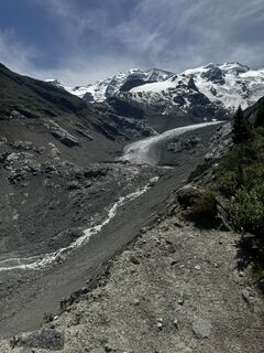
This hike starts at Morteratsch station. After crossing the tracks, the path branches off to the right and ascends. You now hike - partly on and behind the glacier moraine - always towards the glacier, accompanied by spectacular views of the glacier tongue. Below the Boval Hut, the route over rocks requires sure-footedness and then leads steeply over rocks and grassy slopes up to Chamanna (Rhaeto-Romance: hut) Boval.
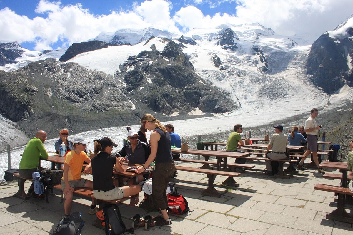
The view from the terrace of the magnificent Bernina massif is breathtaking. In summer, larger glacier calvings can often be observed from here - so a trip to the hut is worthwhile not only because of the excellent rösti! After a well-deserved rest, the descent takes you back the same way to Morteratsch. At the junction shortly before the finish, you should consider making a detour to the impressive Morteratsch Glacier and hike back to Morteratsch from there.
Further information
Engadin Tourism AG
Via Maistra 1
CH-7500 St. Moritz
Phone: +41 81 830 00 01
E-mail: allegra@engadin.ch
Website: www.engadin.ch


Morteratsch - Boval Hut - Morteratsch
Ano
Sturdy footwear and sure-footedness are essential.
Morteratsch car park, Pontresina
A detour to Chünetta is highly recommended.



Webové kamery z prohlídky
Získejte přehled
Vždy živě na místě s více než 9 500 webkamerami. bergfex Jako uživatel Pro si nyní můžete zobrazit odpovídající webové kamery pro mnoho prohlídek v aplikaci prohlídky z. Můžete si tak přímo prohlédnout aktuální podmínky.
Aktivity na trase
-

Morteratsch - Boval-Hütte
30.07.2026 – Horská turistika -

Bovalhütte, 30.7.2026
30.07.2026 – Turistika -
Pontresina, Graubünden/Schweiz
19.07.2026 – Turistika -

Pontresina, Graubünden/Schweiz
12.07.2026 – Turistika -
Pontresina, Graubünden/Schweiz
11.07.2026 – Turistika -

Bahnhof Morteratsch-Boval Hütte retour Graubünden/Schweiz
21.06.2026 – Turistika -
Pontresina, Grigioni/Svizzera
18.08.2025 – Turistika -

Pontresina, Graubünden/Schweiz
27.08.2022 – Horská turistika -
Pontresina, Schweiz
21.07.2021 – Turistika -

Morteratsch - Bovalhütte - Morteratsch
19.07.2021 – Turistika
Oblíbené prohlídky v okolí
-
4.6
Diavolezza - Munt Pers
světloHorská turistika 3.82 km -
4.7
Panoramic route Muottas Muragl
světloTuristika 6.75 km -
5.0
Muottas Muragl - Segantini hut - Pontresina
středníTuristika 6.46 km -
4.5
Pontresina - Val Roseg - Pontresina
světloTuristika 13.8 km -
4.8
SAC Tschierva
světloTuristika 24.7 km -
4.8
Around Lake St. Moritz
světloTuristika 4.32 km -
4.7
Morteratsch Glacier route
světloTematická stezka 2.88 km -
4.4
Piz Palü (3.905m) – Hochtour
středníVysokohorská turistika 13.4 km -
4.8
Alp Languard - Segantini Hut - Muottas Muragl
středníTrailrunning 6.45 km -
Muottas Muragl - Segantini Hütte - Pontresina
středníTuristika 17.5 km
Pěší turistika a stopování


Nenechte si ujít nabídky a inspiraci pro vaši příští dovolenou
Vaše e-mailová adresa byl přidán do poštovního seznamu.





