







Around Lake St. Moritz
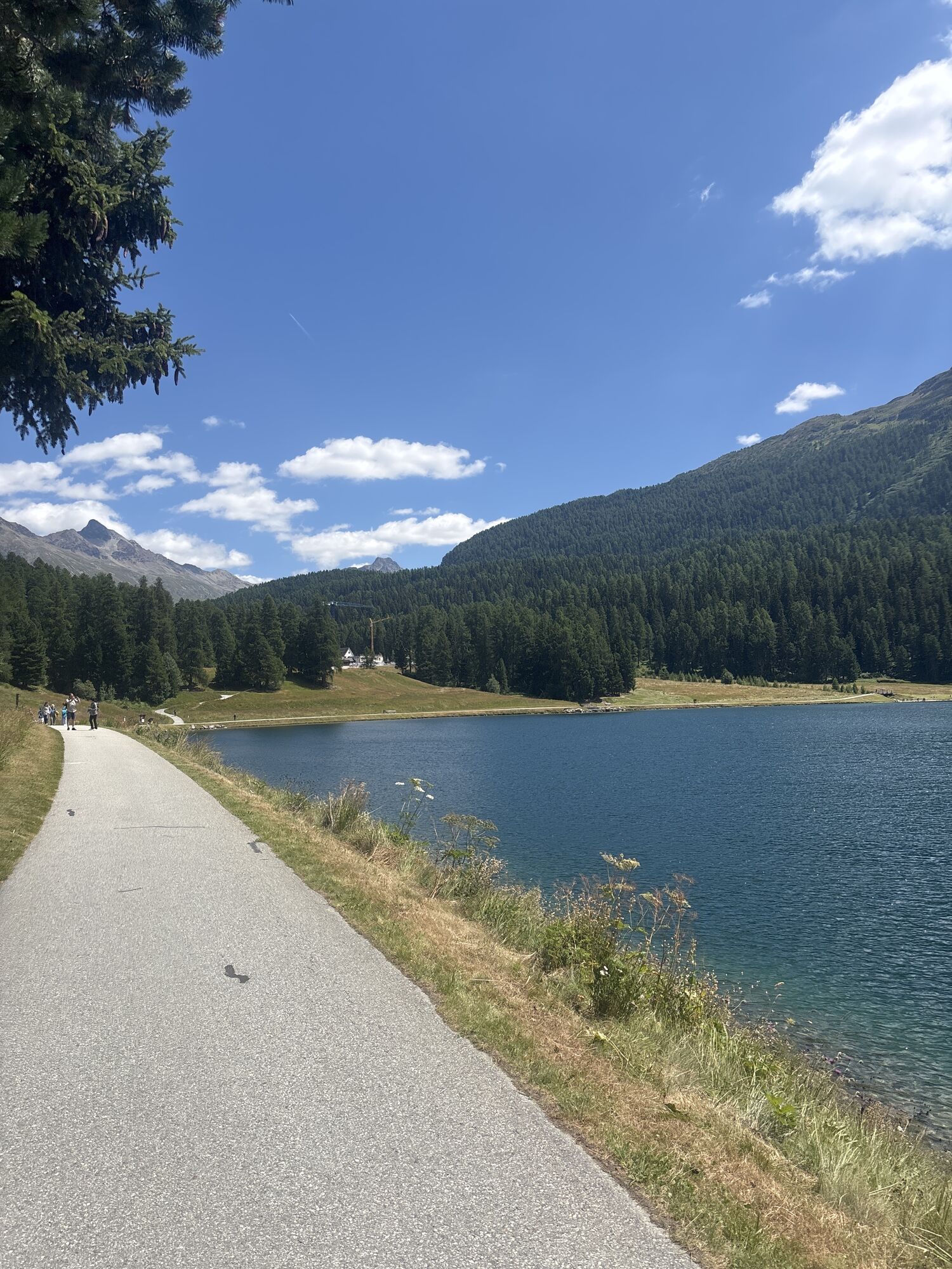
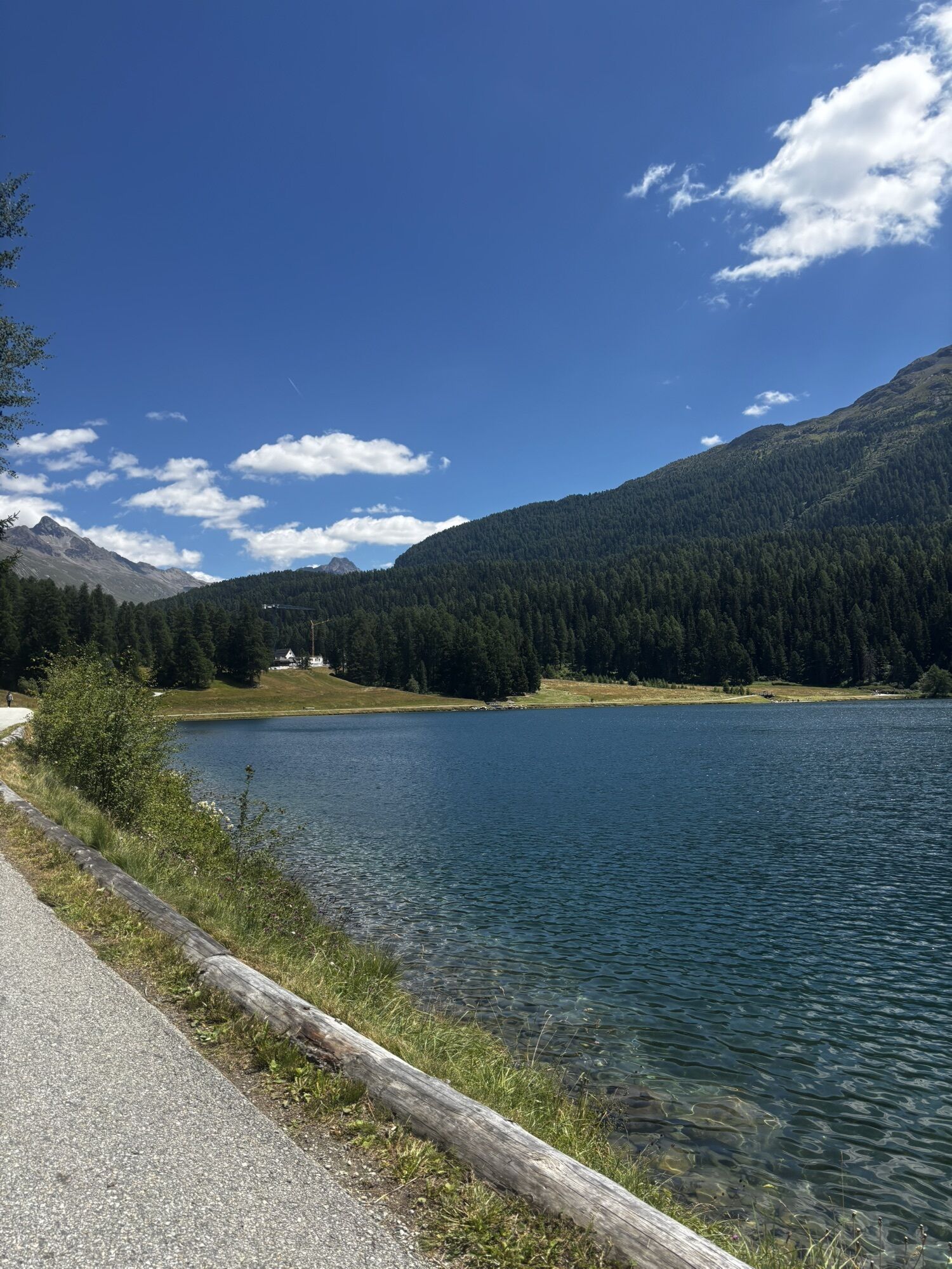
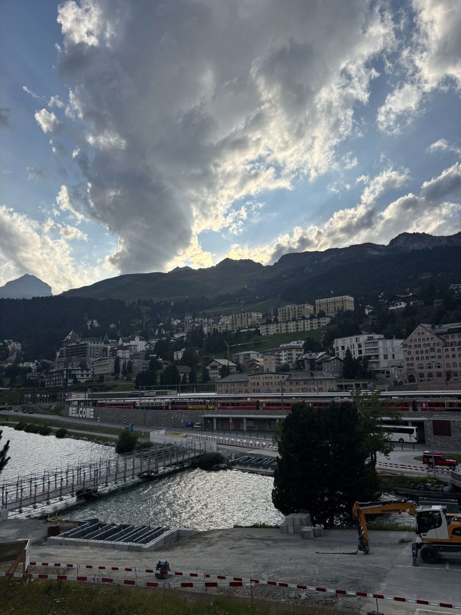
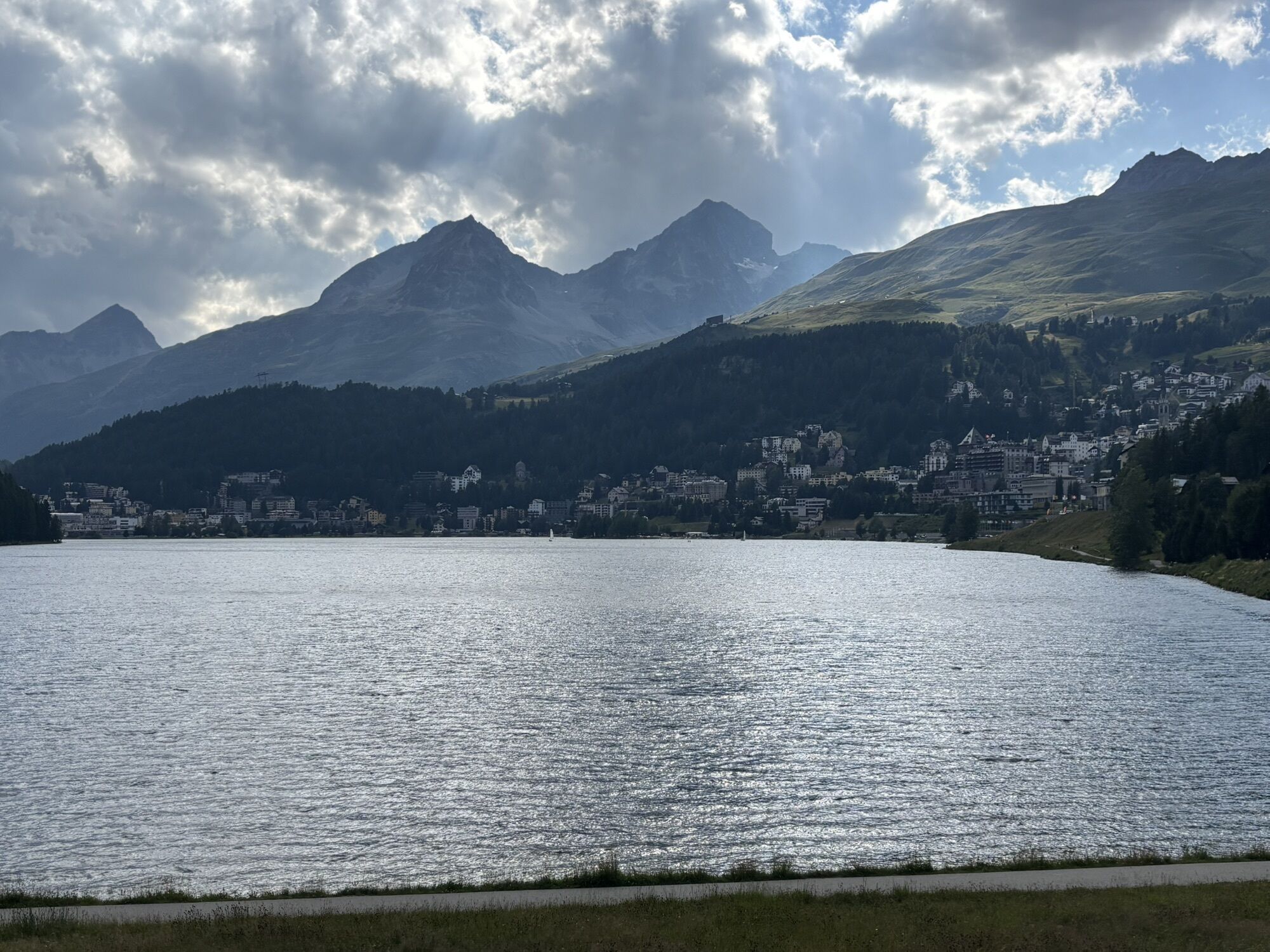
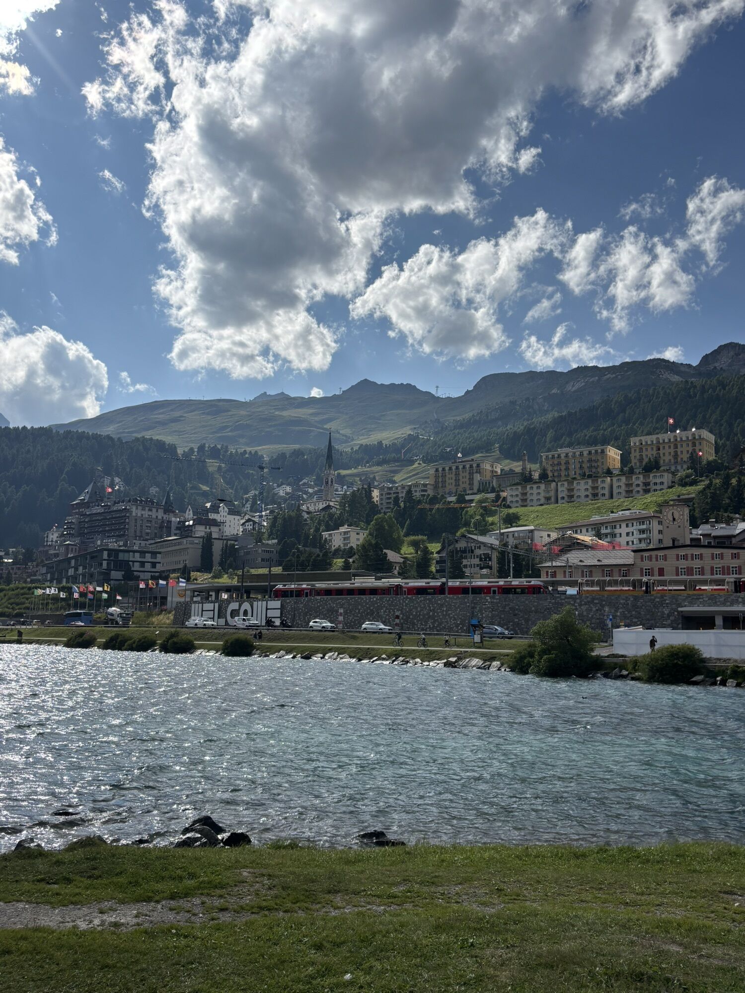
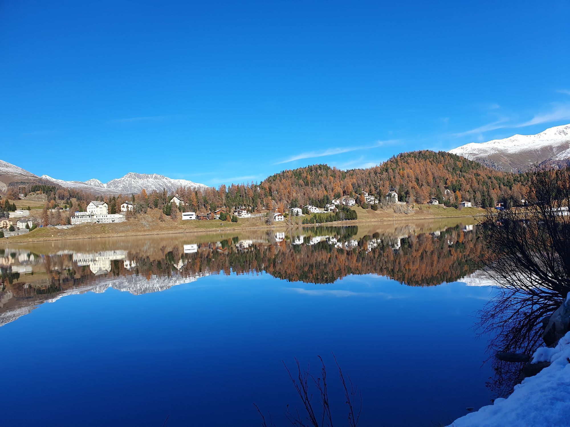
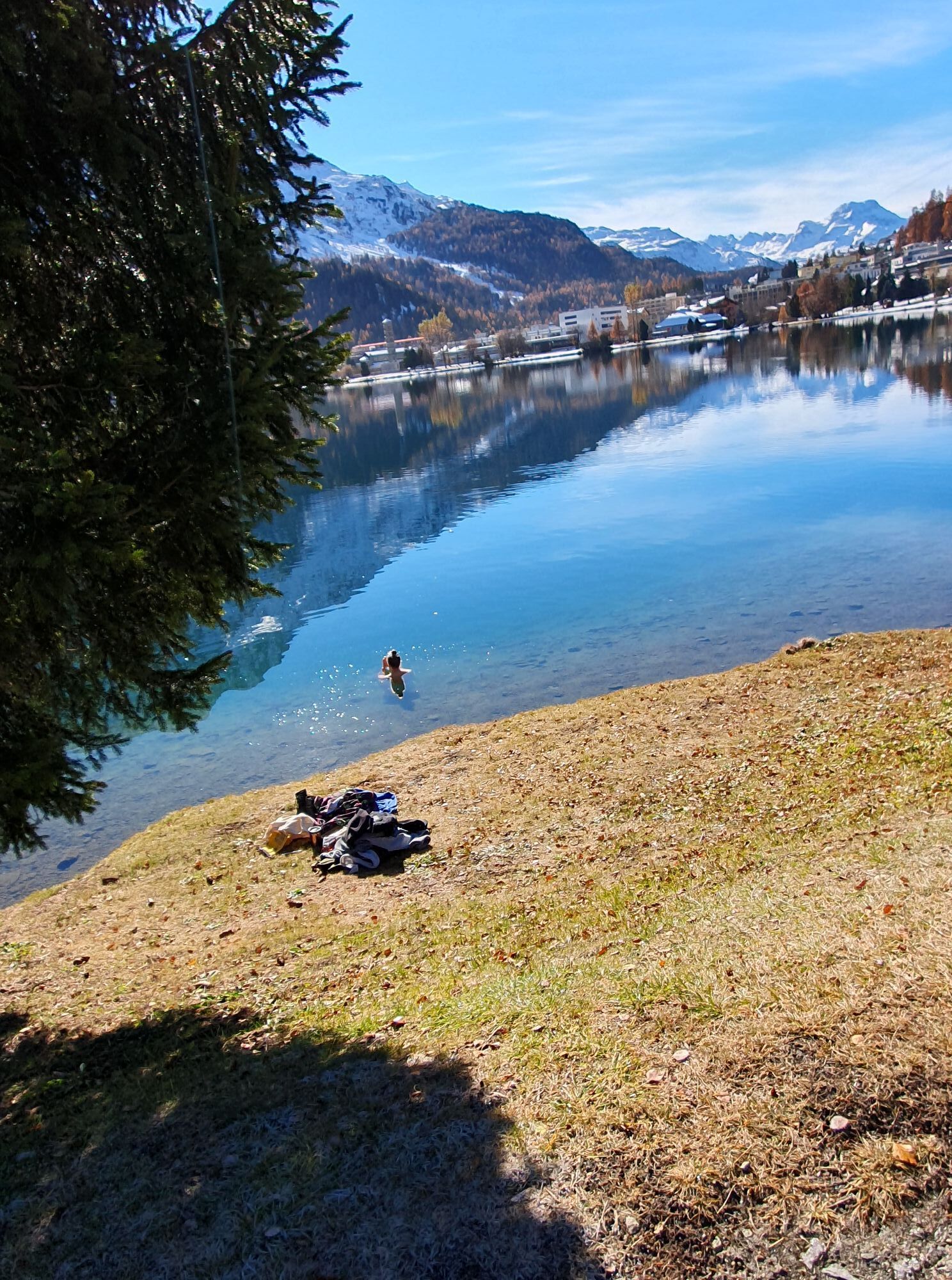
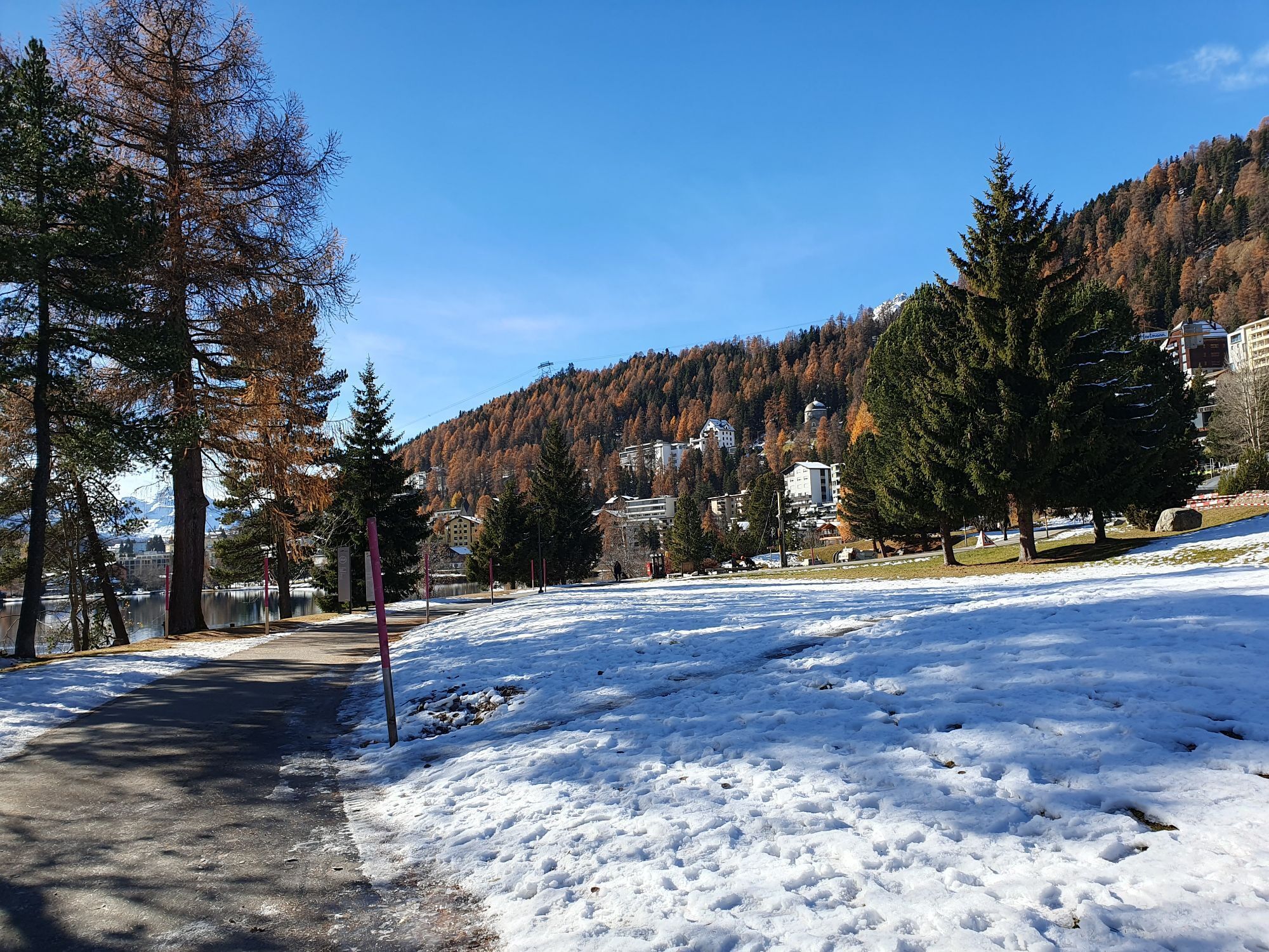
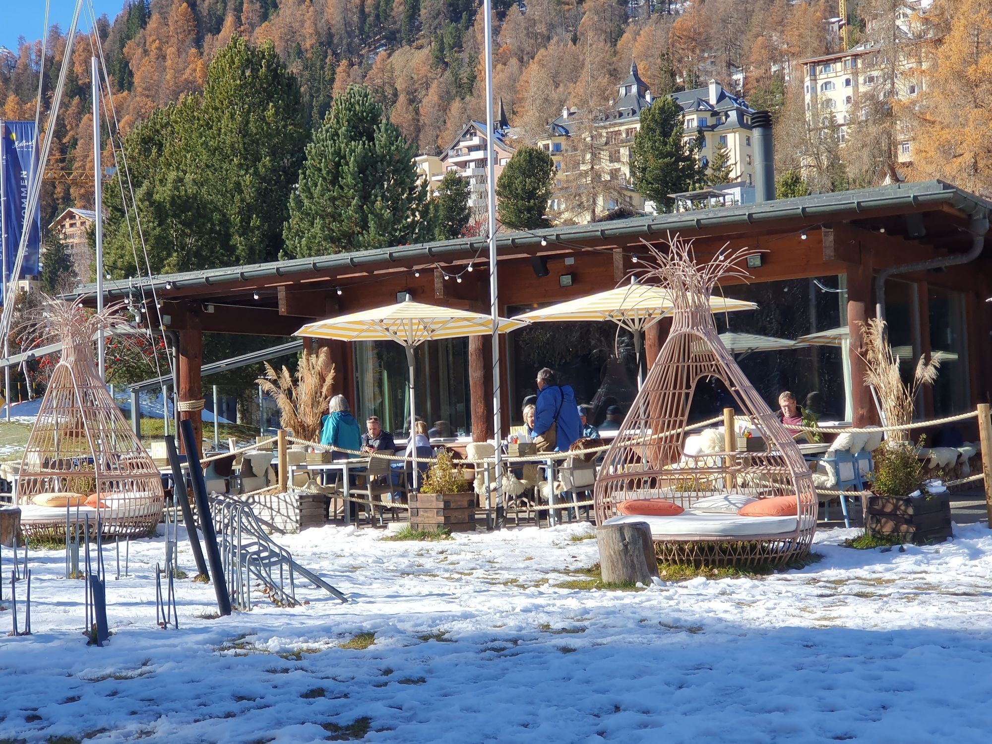
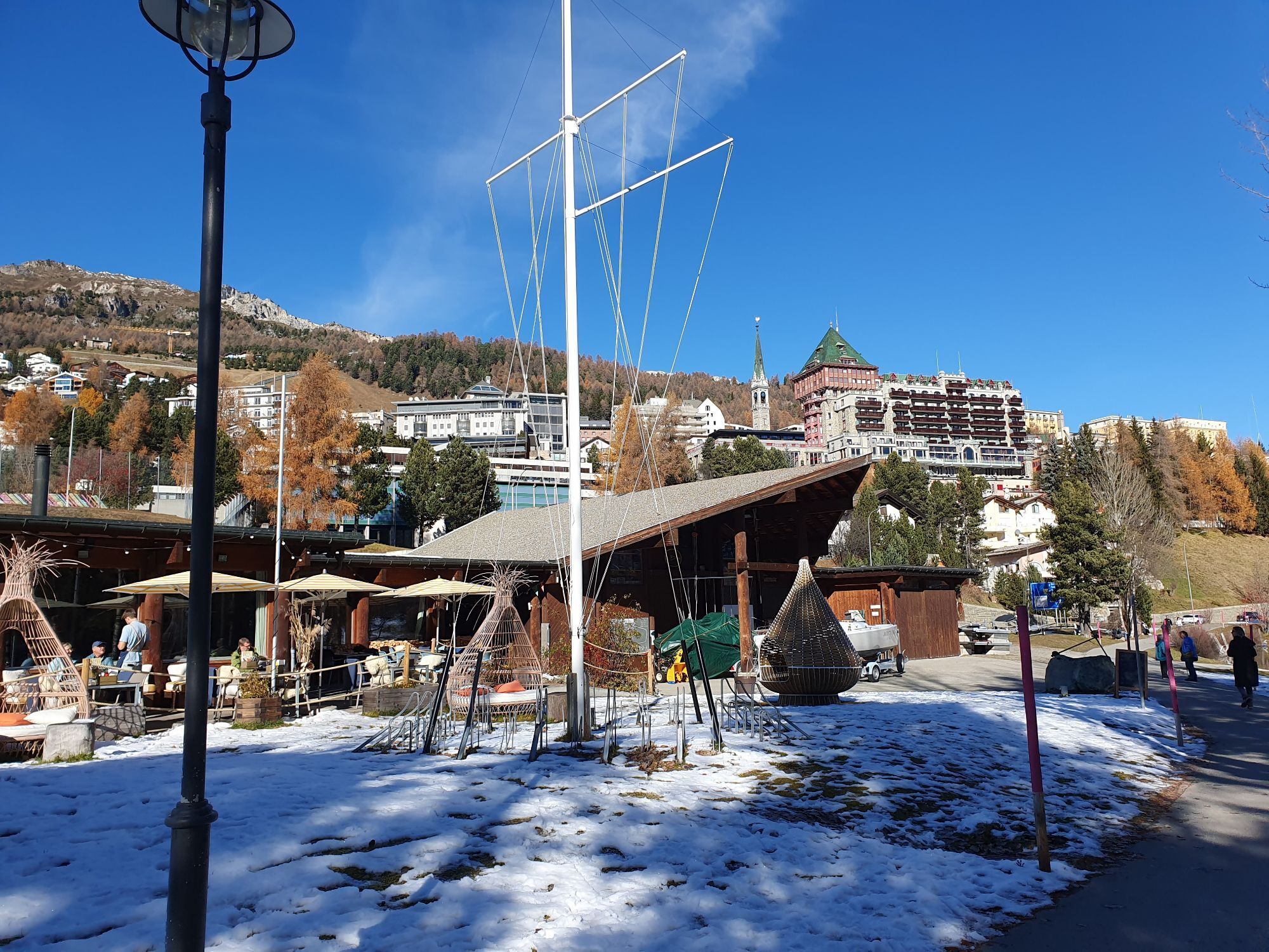
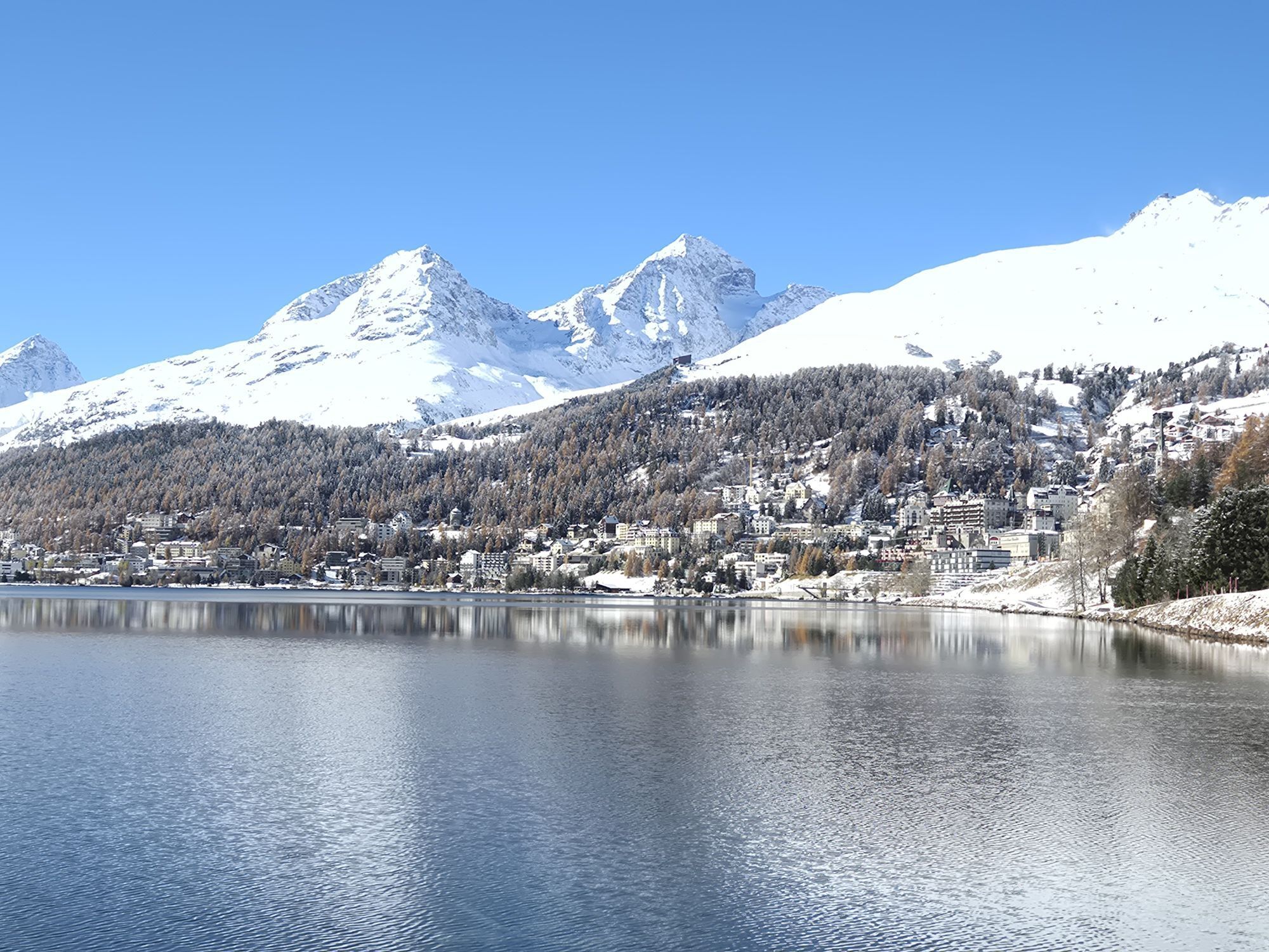
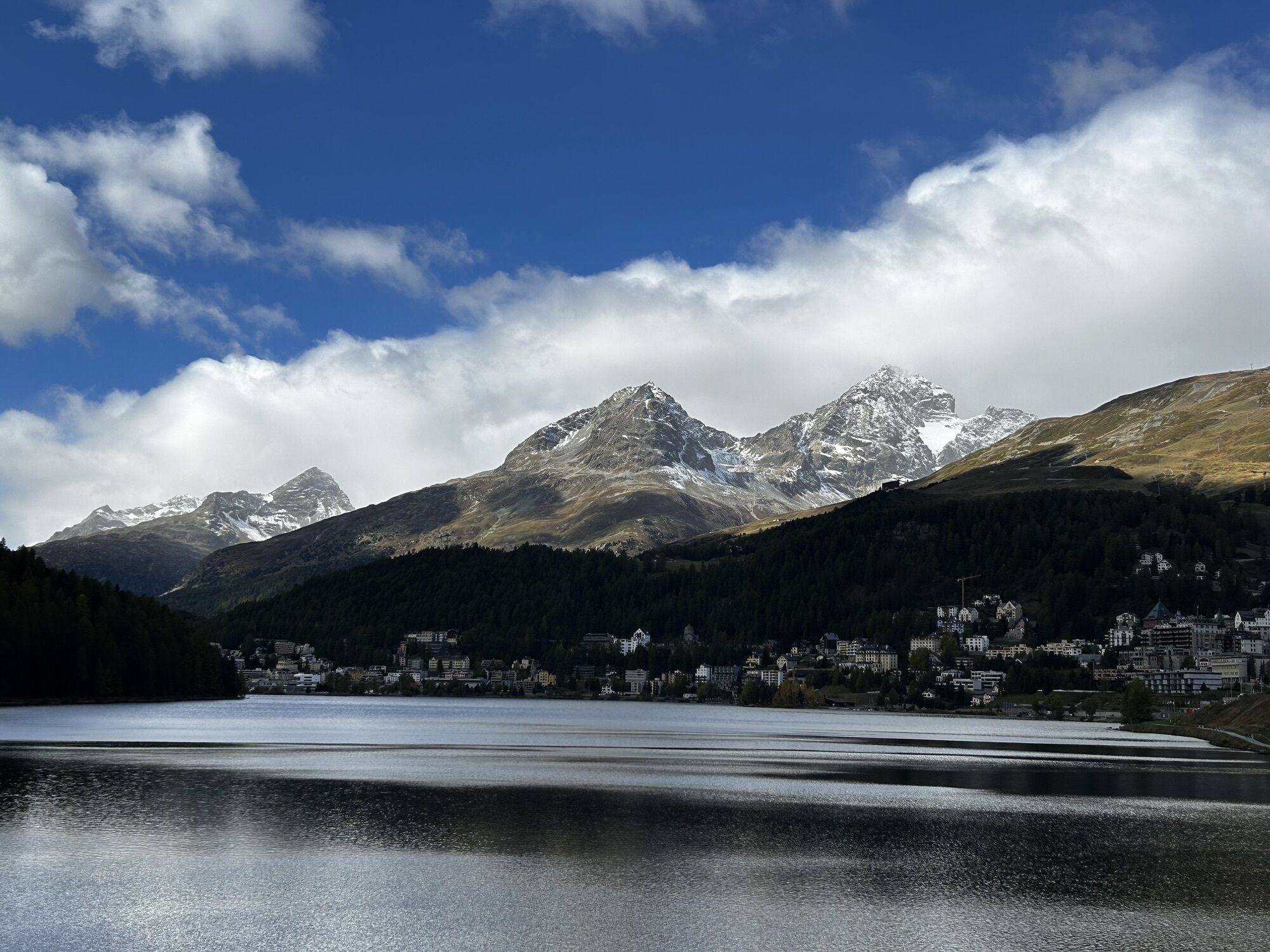
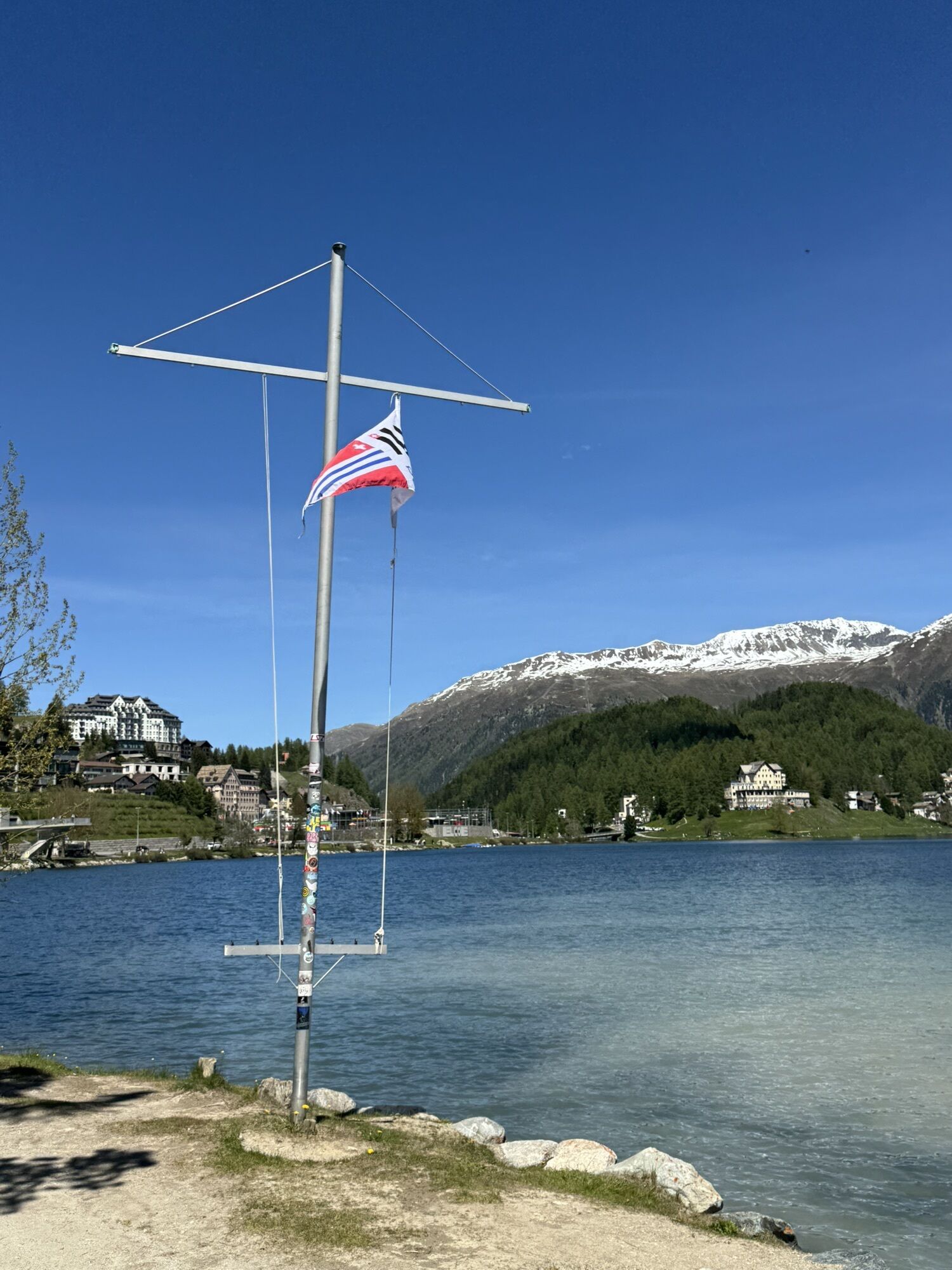
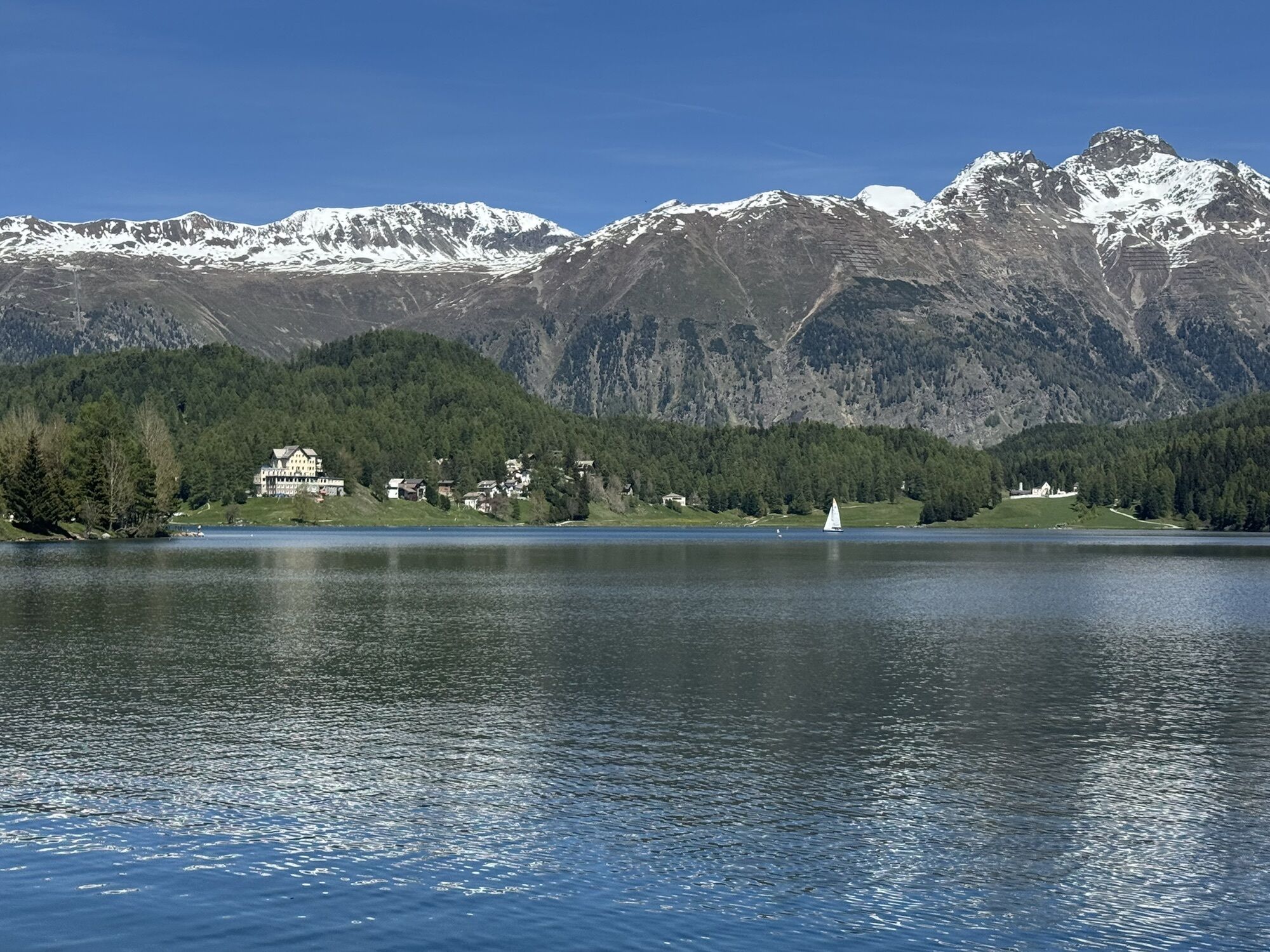
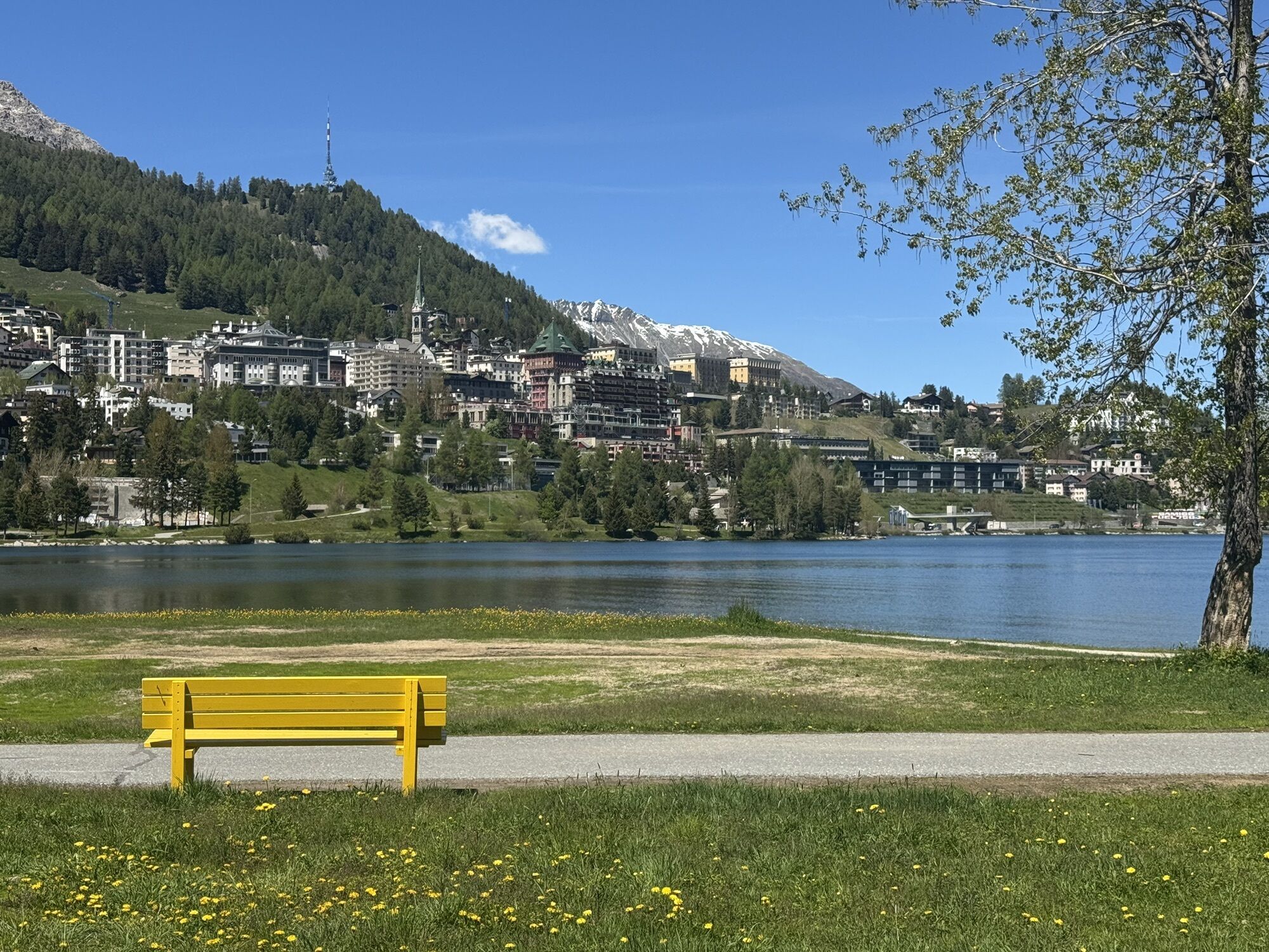
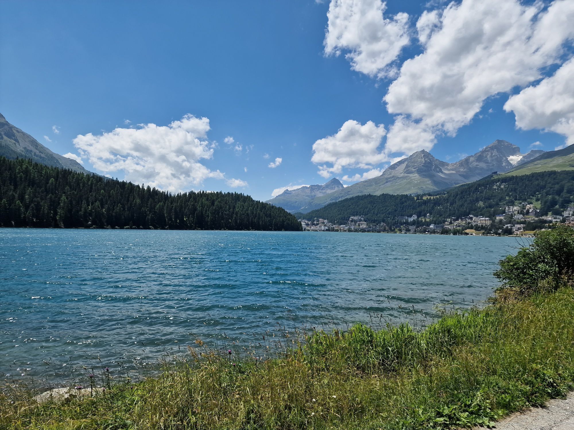
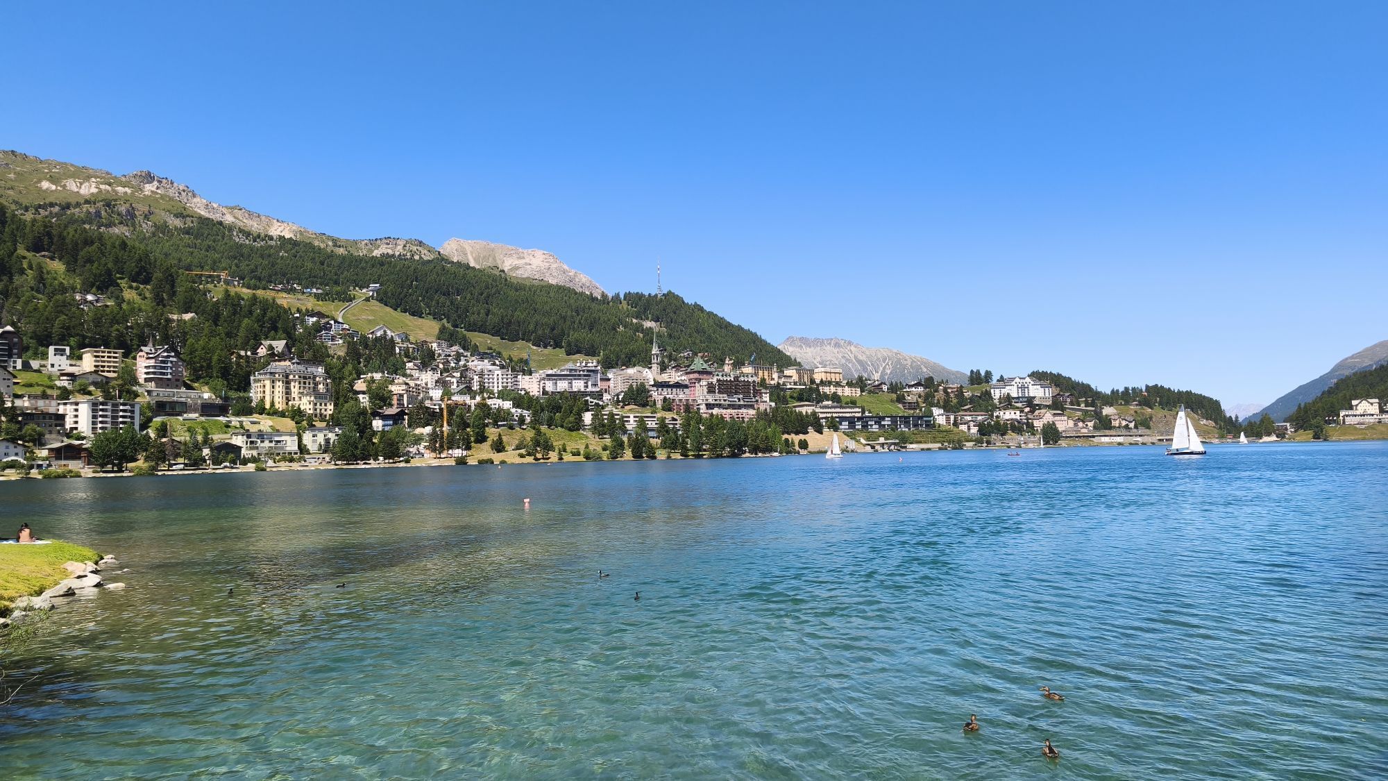
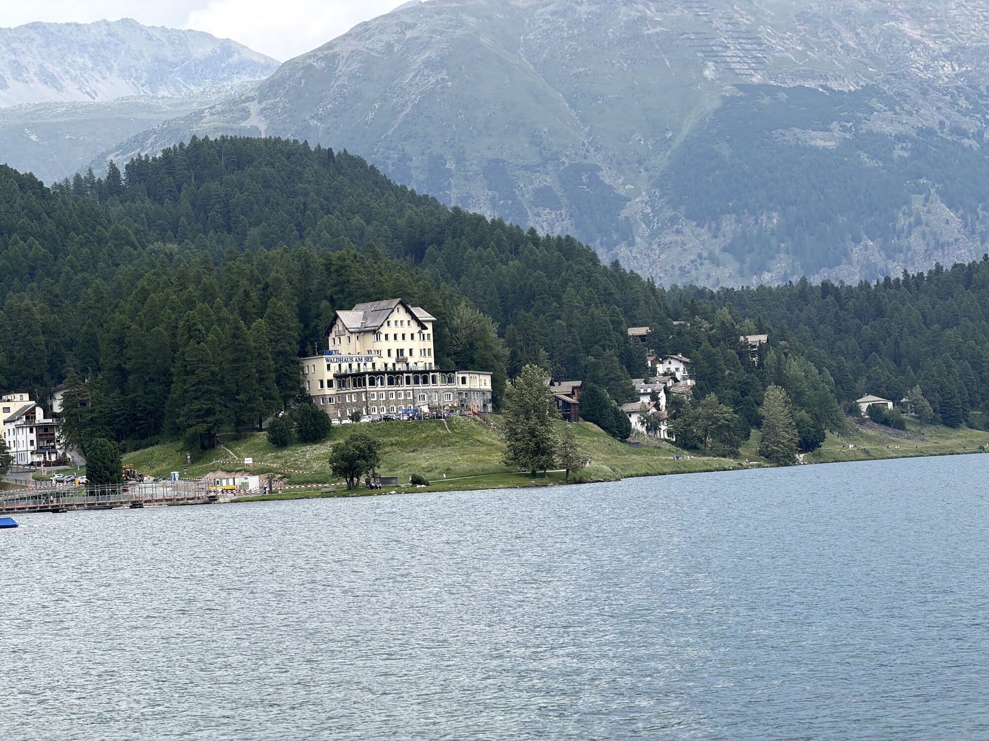
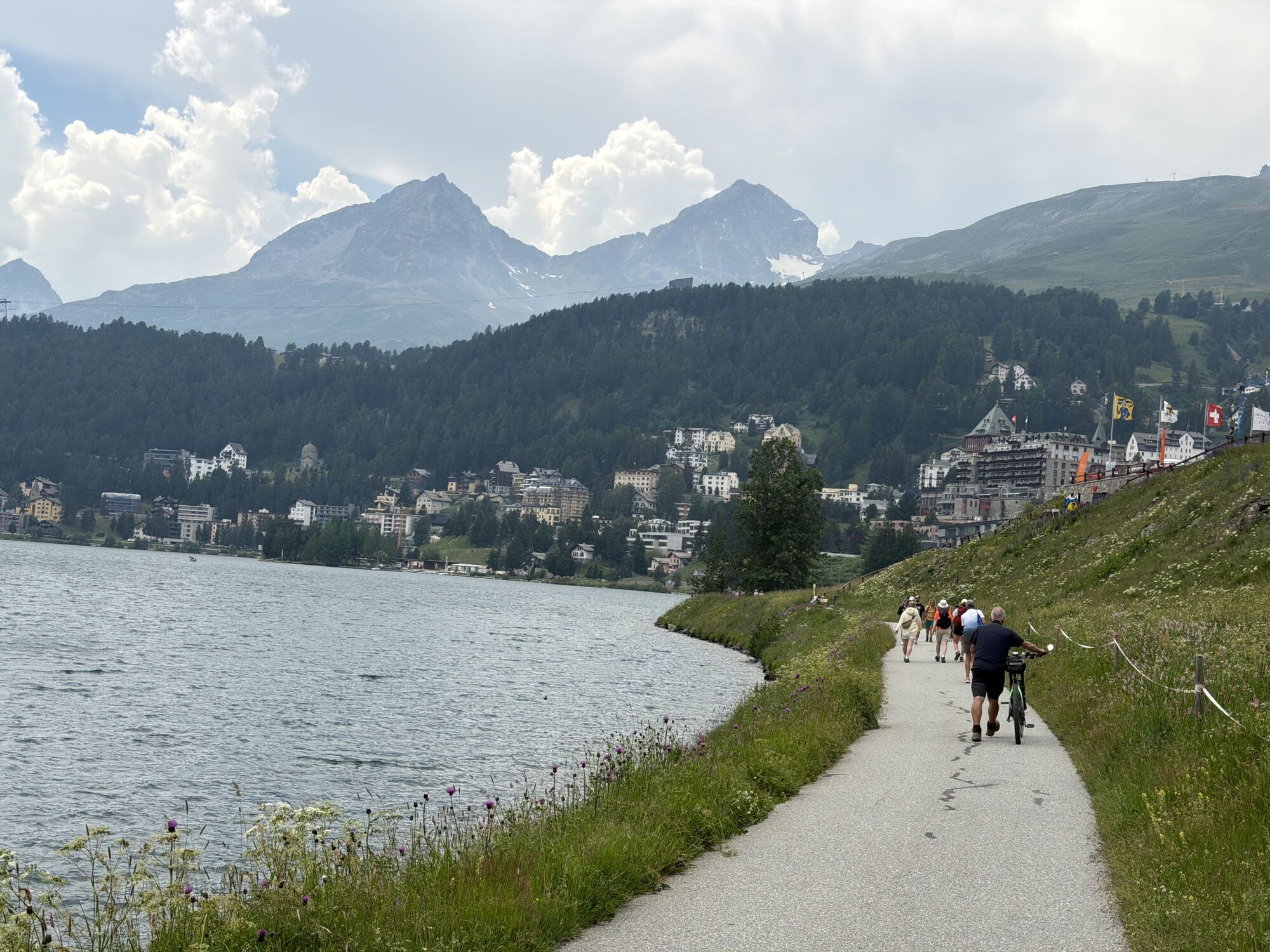
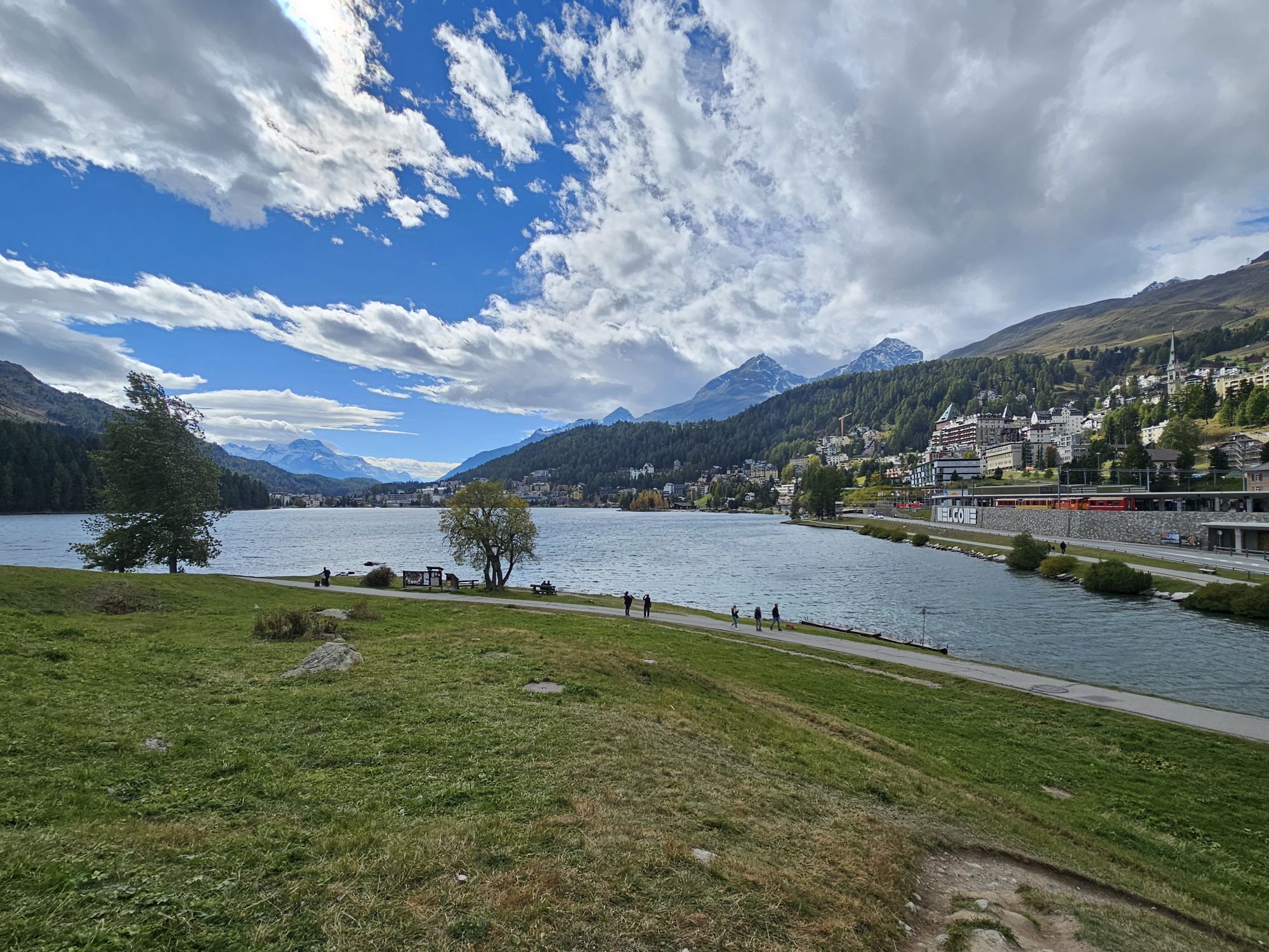
The starting point is St. Moritz station, where you reach the lake directly or can take the Engadin Bus to the “Catholic Church” stop and start the walk from there. It doesn’t matter which side you walk...
The starting point is St. Moritz station, where you reach the lake directly or can take the Engadin Bus to the “Catholic Church” stop and start the walk from there. It doesn’t matter which side you walk around the lake. You won’t miss the view of the fashionable St. Moritz either way.
Note for wheelchair users:
Boarding the bus is unproblematic. However, it should be noted that only one to two wheelchair users can fit per bus.
On the opposite side of the road from the Catholic Church stop, there is a wheelchair-accessible toilet (with Eurokey) as well as 2 parking spaces for wheelchair users arriving by car.
The route consists partly of paved roads and partly of well-groomed natural paths. The lake is not secured with a railing. Risky turning maneuvers should therefore be avoided.
The path around the lake is mostly flat, but at bridges there are short inclines of up to 11%.
Further information
Engadin Tourism AG
Via Maistra 1
CH-7500 St. Moritz
Phone: +41 81 830 00 01
E-mail: allegra@engadin.ch
Website: www.engadin.ch

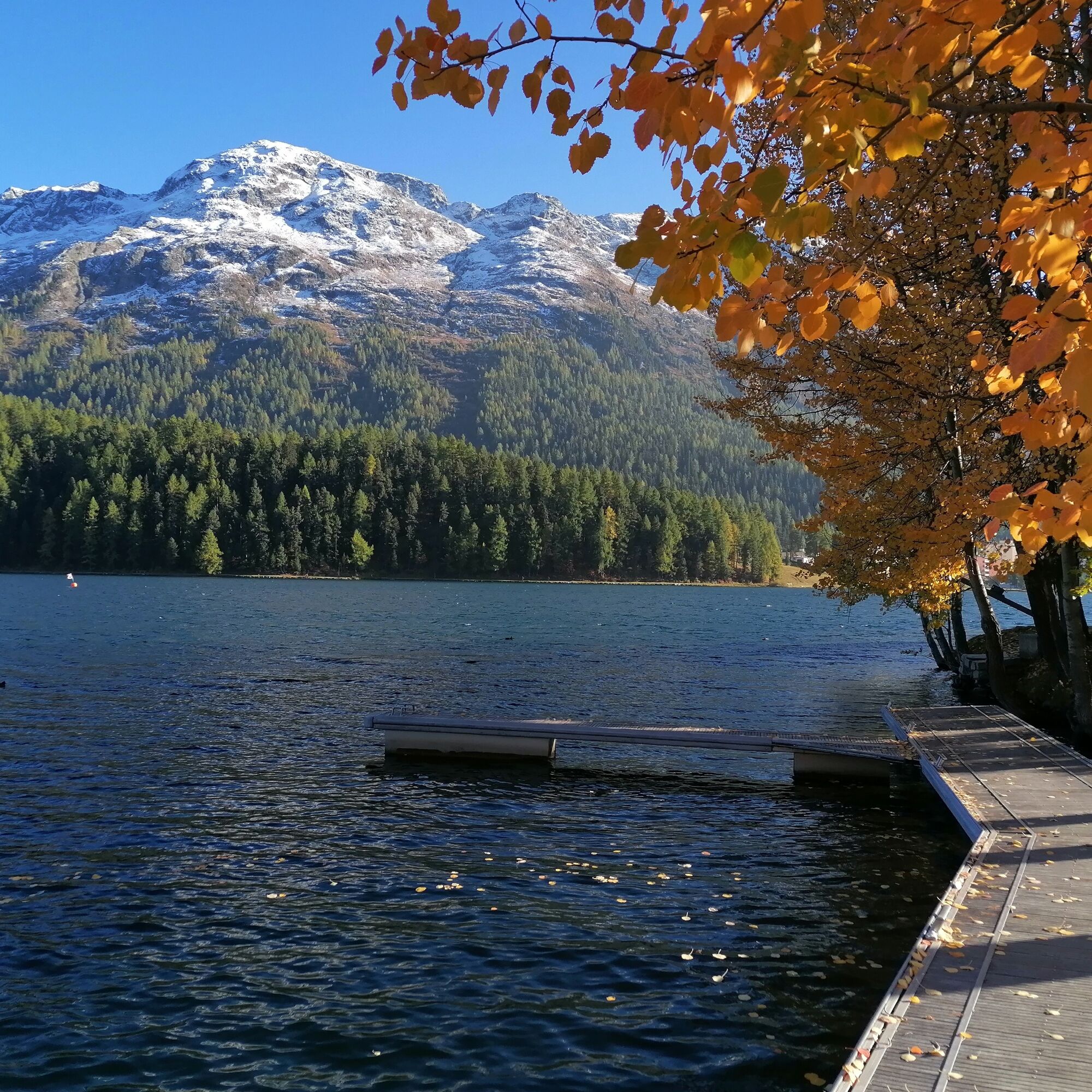
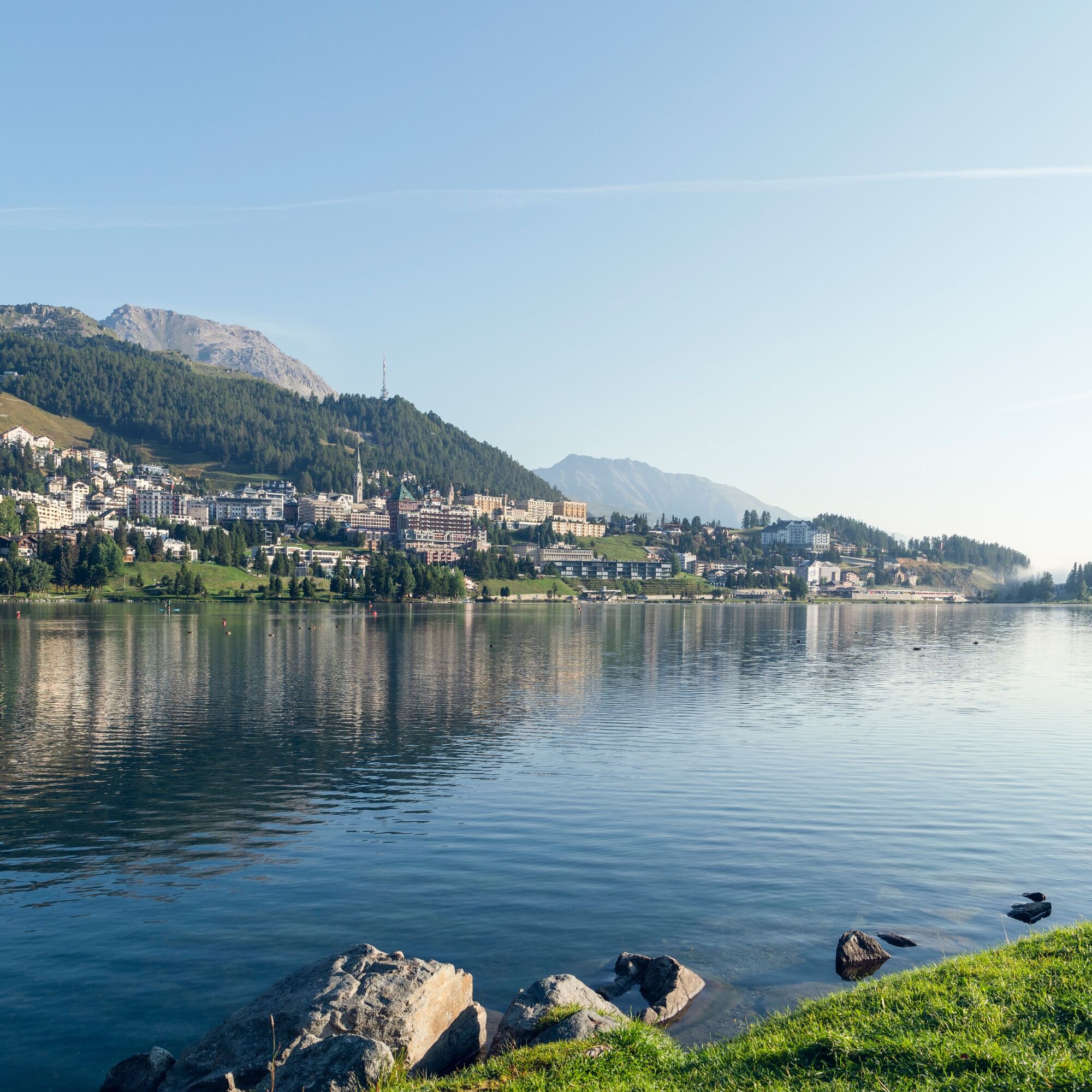
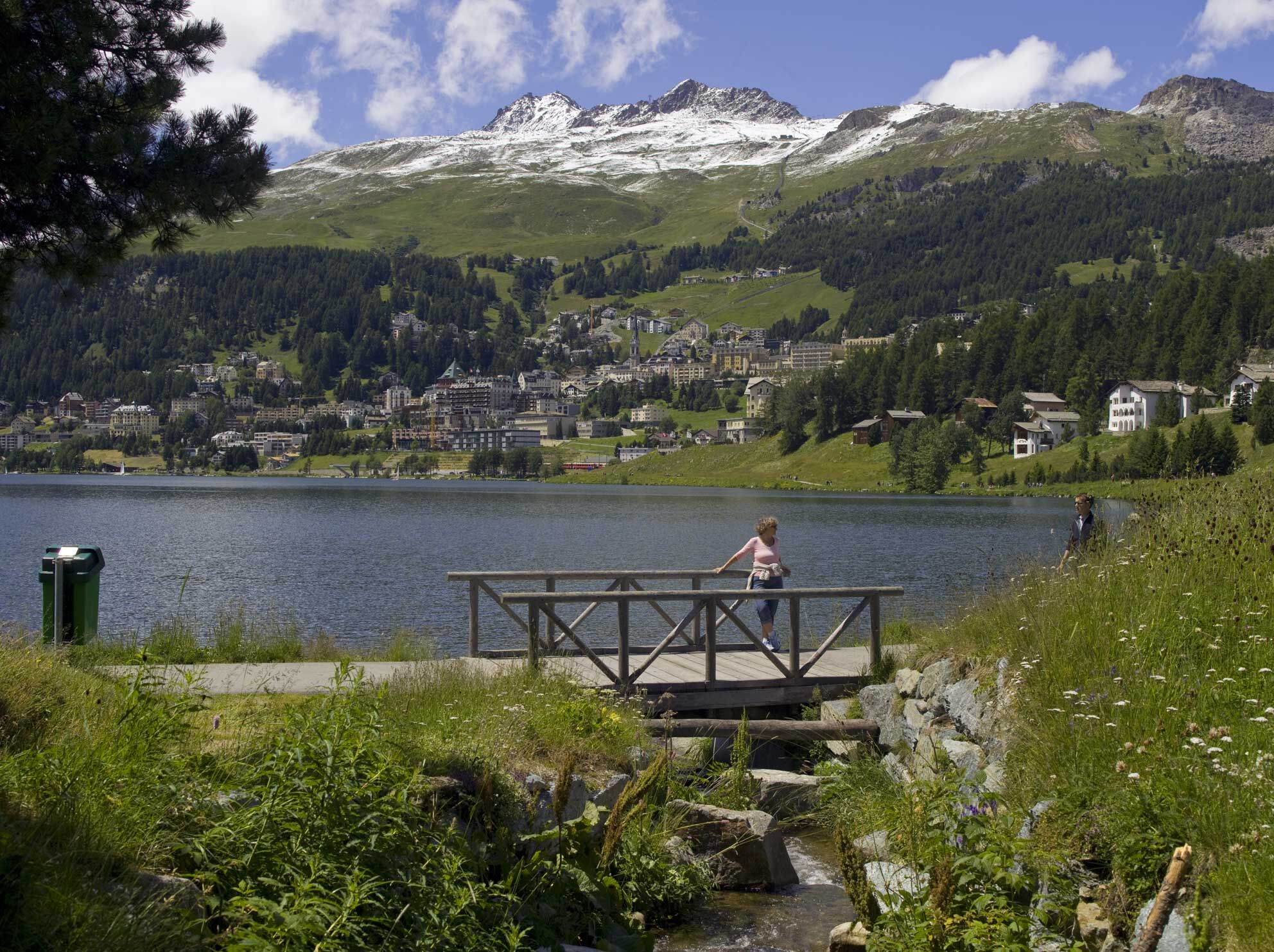

St. Moritz station - creamery - Catholic church - sailing club - St. Moritz station
Ano
Ano
Ano
By the Rhaetian Railway to St. Moritz station
By Engadin Bus to St. Moritz Bad stop, Catholic church
Serletta car park
Combine the walk with a visit to St. Moritz village. The escalator takes you directly to the world-famous Via Serlas.


Webové kamery z prohlídky
-
Corviglia
-
St. Moritz / Samedan - Muottas Muragl
-
Corvatsch
-
Marguns - Plateau Nair
-
Samedo - Engadin Golf
-
St. Moritz / Samedan - Muottas Muragl
-
St. Moritz / Samedan - Muottas Muragl
-
St. Moritz / Samedan - Muottas Muragl
-
St. Moritz / Samedan - Muottas Muragl
-
Corviglia
-
Corviglia
-
Corviglia
-
Corviglia
-
Corviglia
-
Corviglia
-
Corviglia
-
Corvatsch
-
Corvatsch
-
Corvatsch
-
Corvatsch
-
Corvatsch
-
Corvatsch
-
Celerina - Cresta Palace
-
Piz Nair - St. Moritz
-
Celerina - Skiwiese Provuler
-
St. Moritz / Trais Fluors Bergstation
-
St. Moritz - Berghotel Randolins
-
Samedan - Engadin Airport
-
El Paradiso
-
Piz Nair Bergstation
-
Piz Nair Bergstation
-
Trais Fluors Bergstation
-
Trais Fluors Bergstation
-
Trais Fluors Bergstation
-
Trais Fluors Bergstation
-
Trais Fluors Bergstation
-
Trais Fluors Bergstation
-
Trais Fluors Bergstation
-
Trais Fluors Bergstation
-
Sporthotel Pontresina
Získejte přehled
Vždy živě na místě s více než 9 500 webkamerami. bergfex Jako uživatel Pro si nyní můžete zobrazit odpovídající webové kamery pro mnoho prohlídek v aplikaci prohlídky z. Můžete si tak přímo prohlédnout aktuální podmínky.


Oblíbené prohlídky v okolí
-
4.6
Diavolezza - Munt Pers
světloHorská turistika 3.82 km -
5.0
Morteratsch station - Boval Hut
středníTuristika 10.5 km -
4.7
Panoramic route Muottas Muragl
světloTuristika 6.75 km -
5.0
Muottas Muragl - Segantini hut - Pontresina
středníTuristika 6.46 km -
4.5
Pontresina - Val Roseg - Pontresina
světloTuristika 13.8 km -
4.8
SAC Tschierva
světloTuristika 24.7 km -
4.7
Morteratsch Glacier route
světloTematická stezka 2.88 km -
4.8
Alp Languard - Segantini Hut - Muottas Muragl
středníTrailrunning 6.45 km -
Muottas Muragl - Segantini Hütte - Pontresina
středníTuristika 17.5 km -
4.5
Diavolezza - Lej da Diavolezza
středníTuristika 6.22 km
Pěší turistika a stopování


Nenechte si ujít nabídky a inspiraci pro vaši příští dovolenou
Vaše e-mailová adresa byl přidán do poštovního seznamu.





