


Winter hike Guggisberg
Úroveň obtížnosti: 1
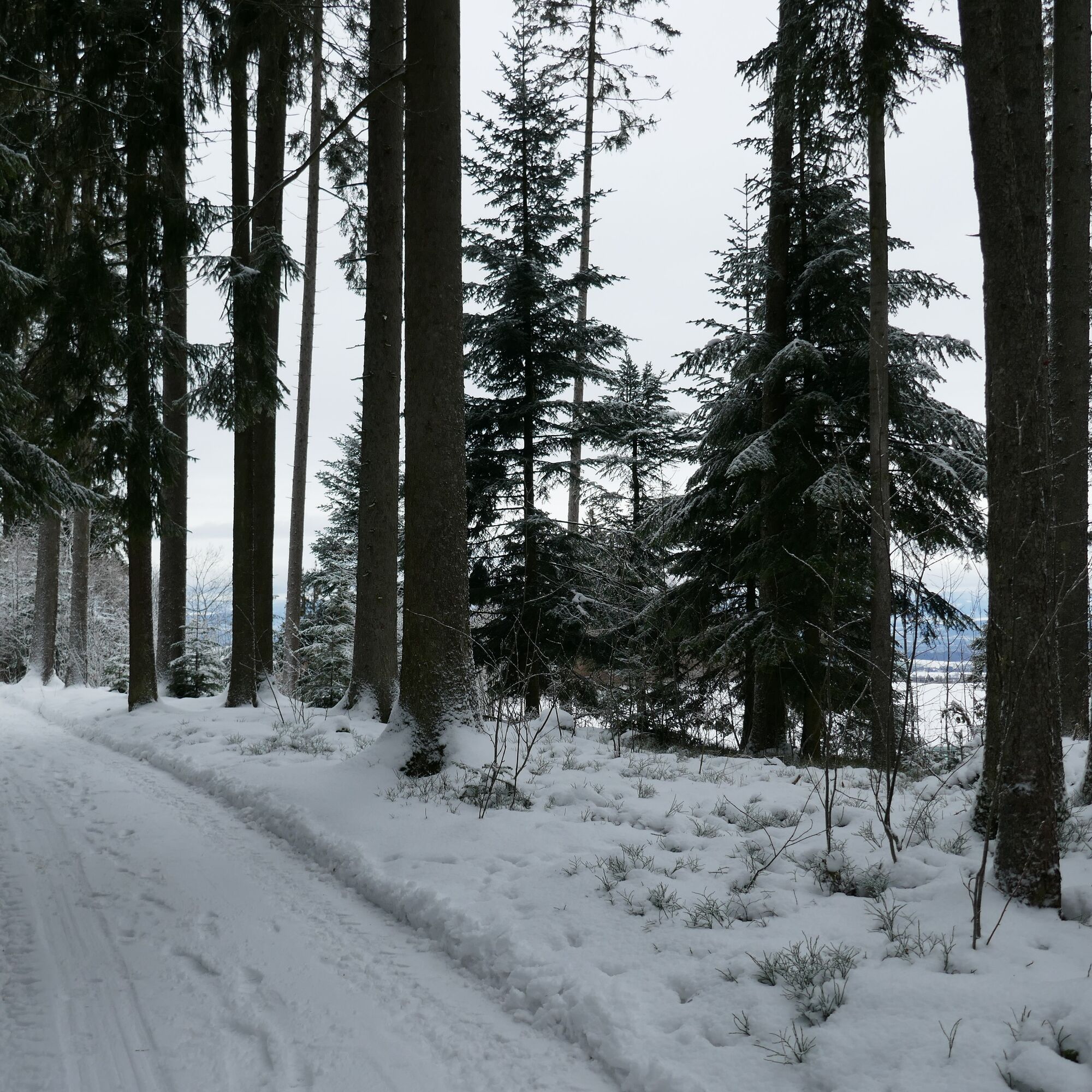
The winter hiking trail starting at Riffenmatt is not typical, as it mostly follows roads cleared only by plowing. Besides slip-resistant hiking boots, no further equipment is required. From Riffenmatt,...
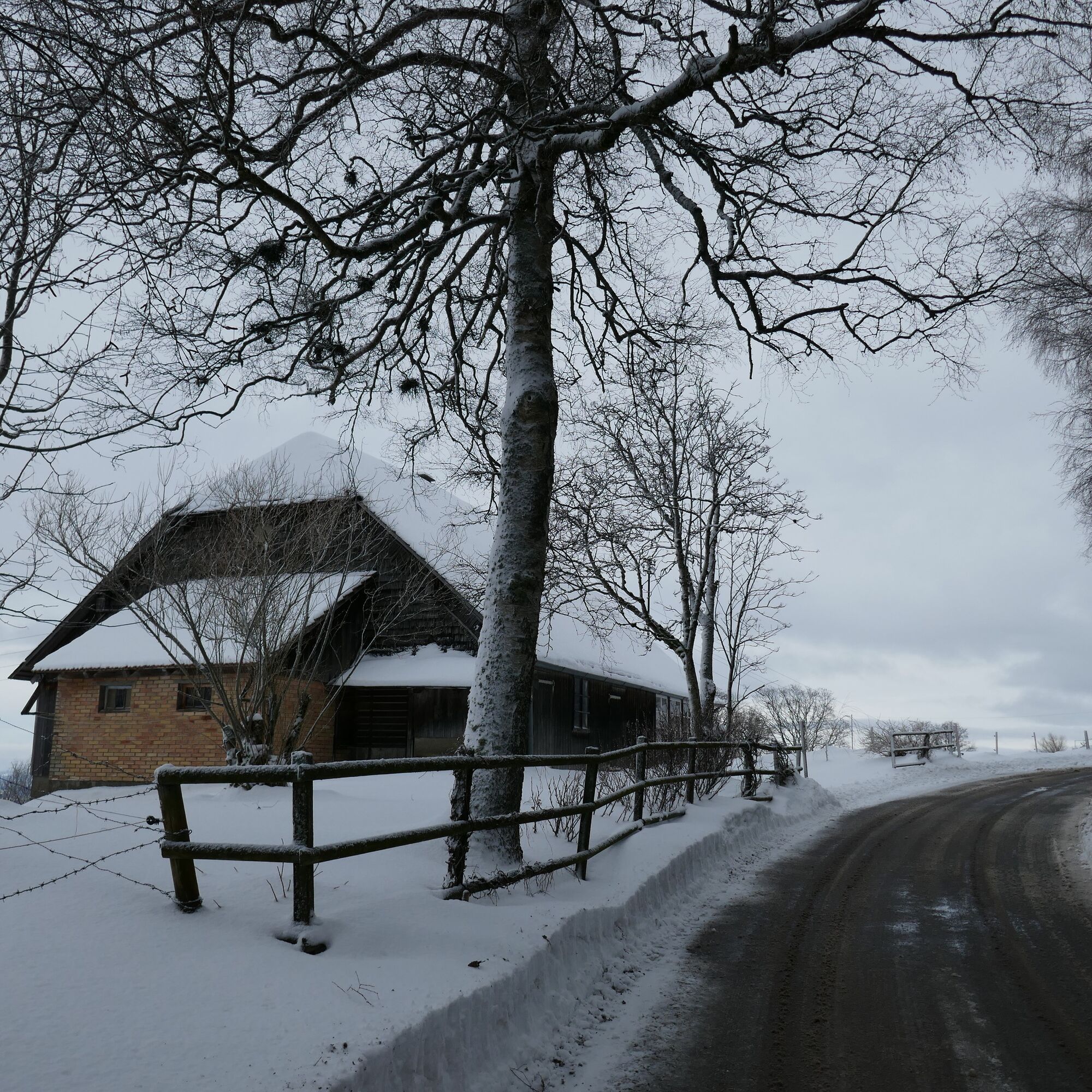
The winter hiking trail starting at Riffenmatt is not typical, as it mostly follows roads cleared only by plowing. Besides slip-resistant hiking boots, no further equipment is required. From Riffenmatt, the path follows the road to the hamlet of Saalen with its beautiful farmhouses.
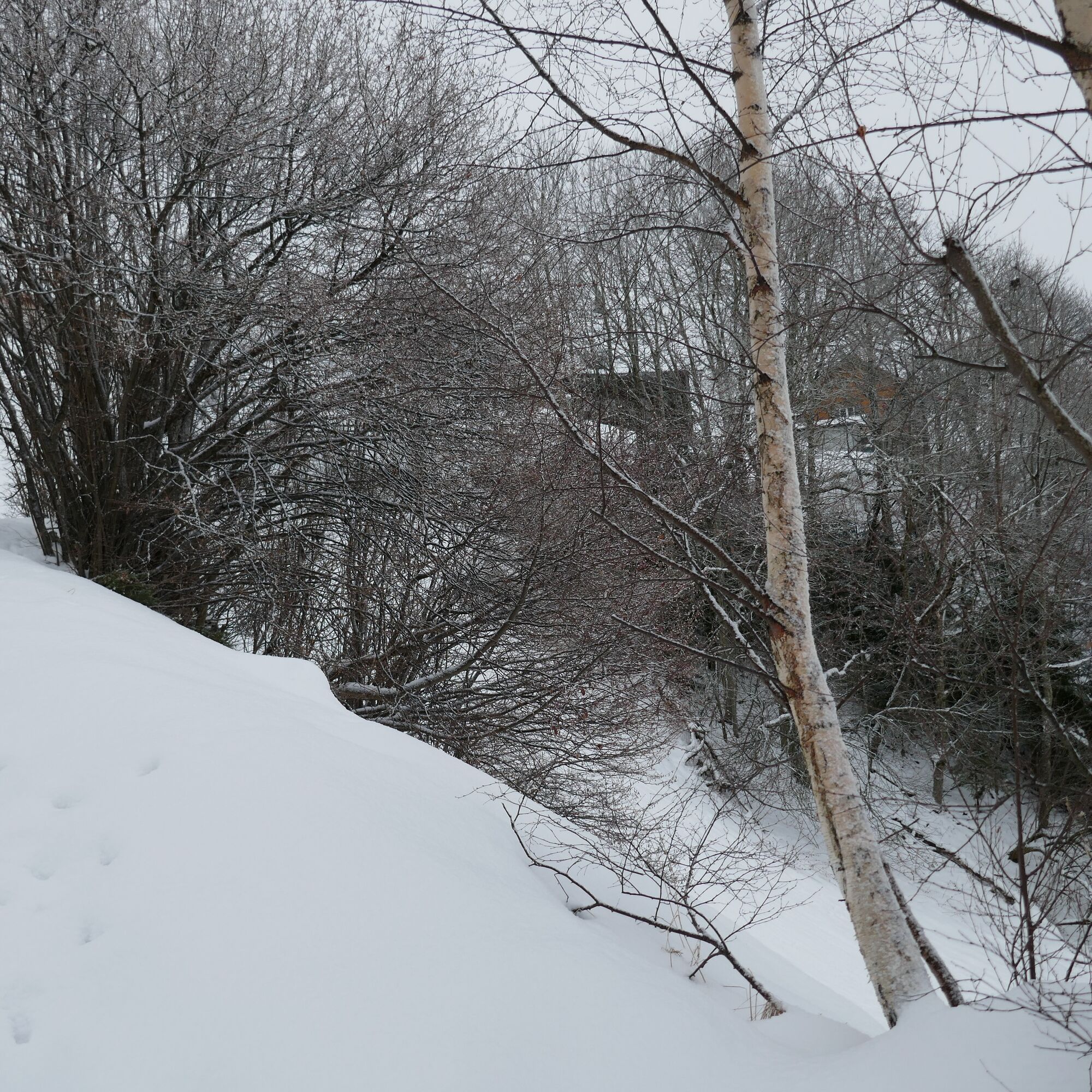
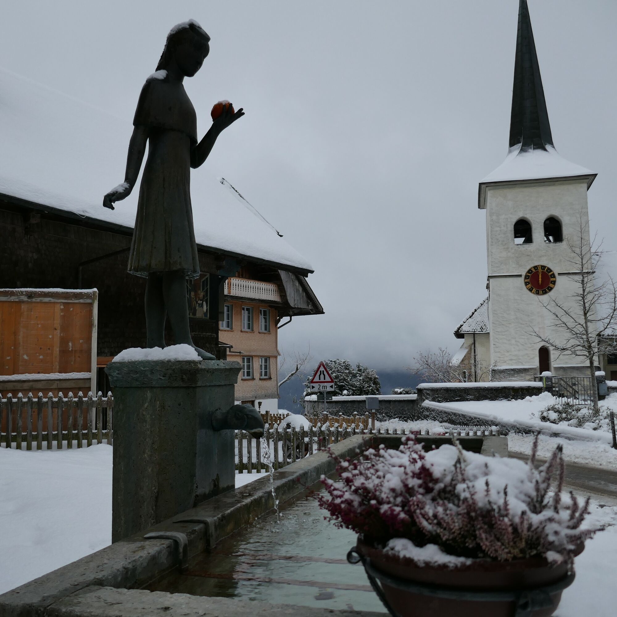
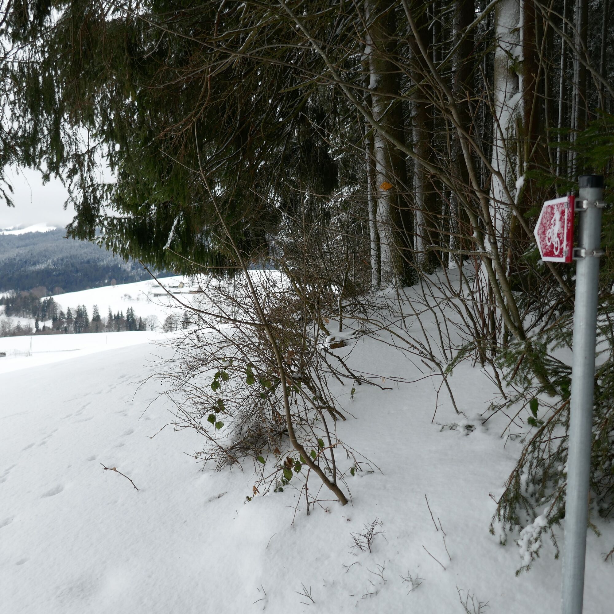
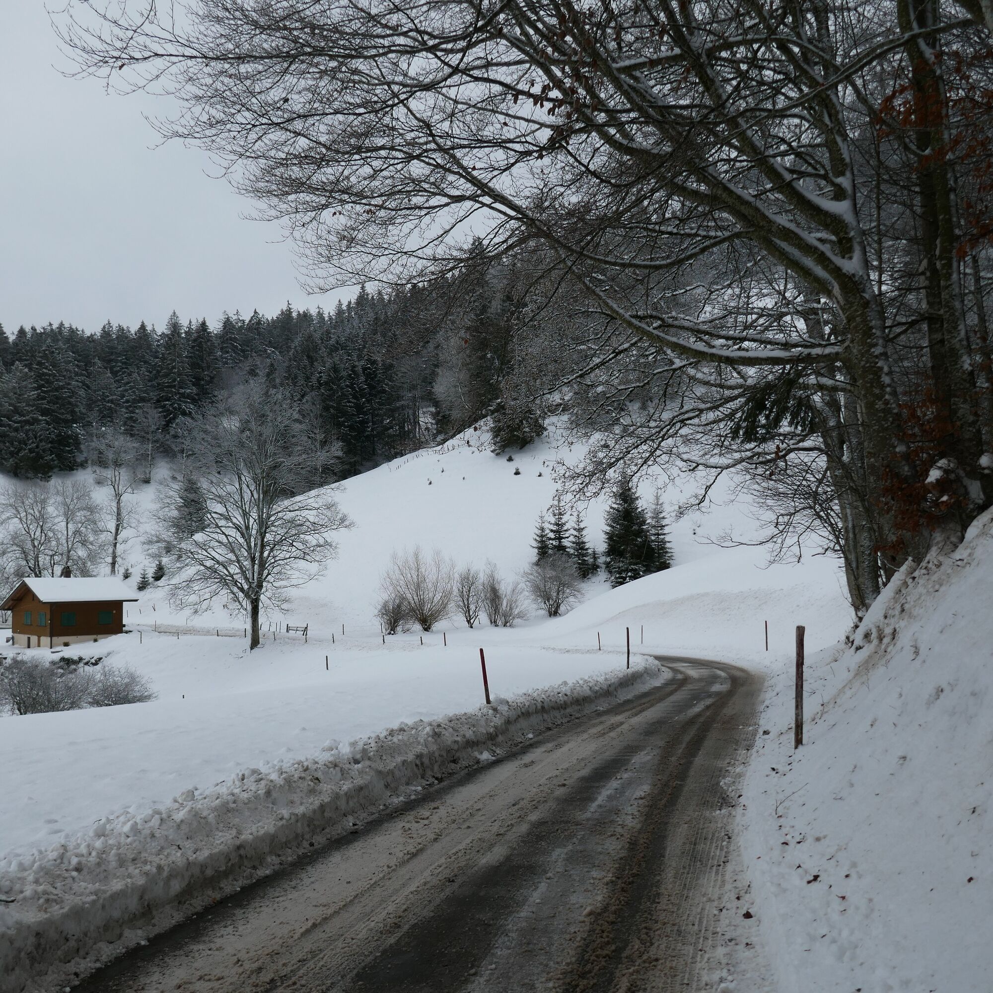
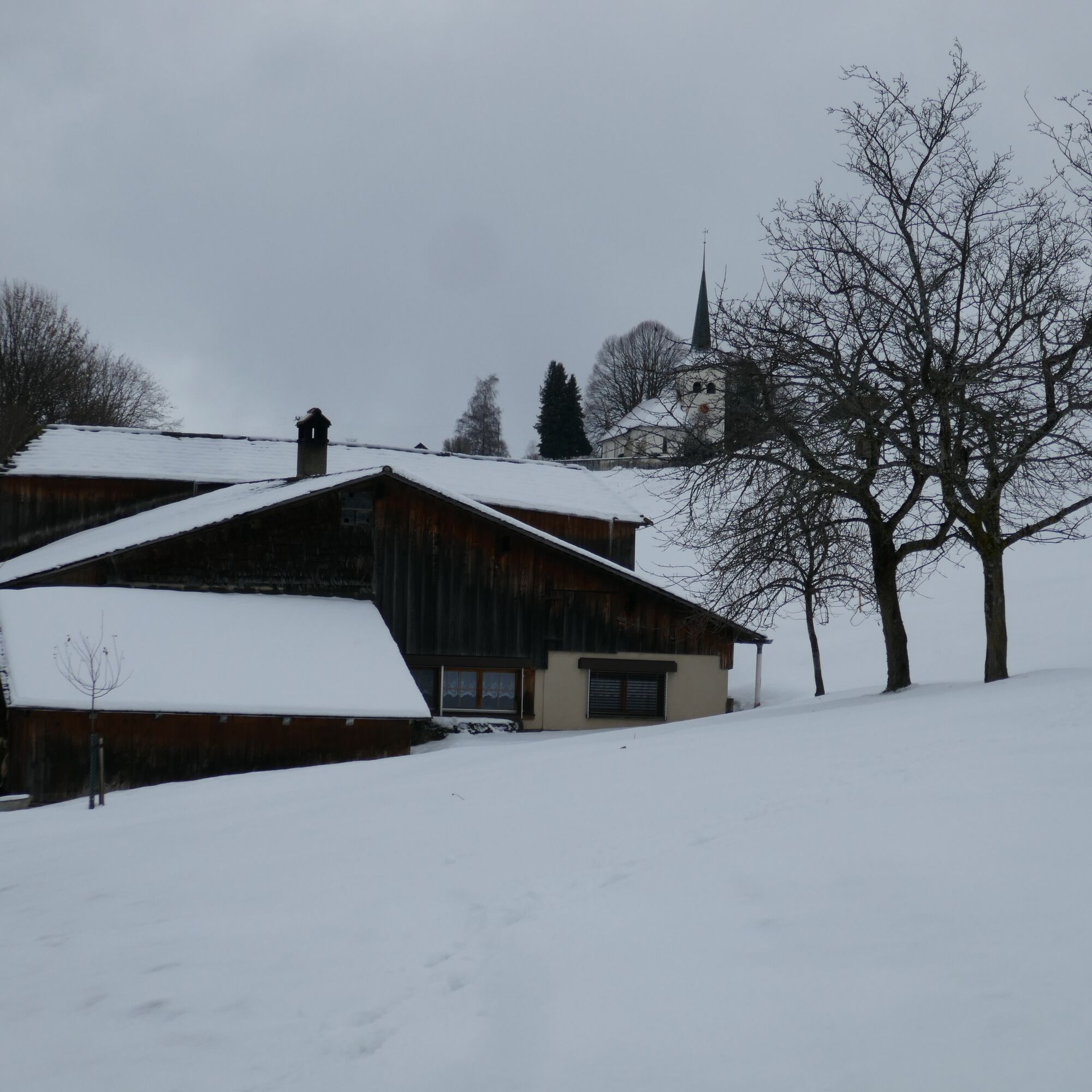
After a slight ascent, the village of Guggisberg is reached. The Vreneli, with its legendary, melancholically sad story, is everywhere present there. For example, on the village square stands the Vreneli fountain with the bronze Vreneli statue. A visit to the Vreneli museum is also recommended with prior reservation. A visit to the church with its late Gothic tower, the baroque organ on the gallery, and the stained glass windows is definitely worthwhile. From the church terrace, there is an unobstructed view towards the Schwarzsee area. You leave the village on the hiking trail towards Sand. The view towards Plaffeien and the Freiburg region opens up. From Sand via Wahlenhus to just before Neuenmatt, the road now runs on the shady north side of the Guggershörnli and Schwendelberg. From this terrain terrace, in good weather, the view spans across the entire Schwarzenburgerland towards Bern and the Jura Mountains. Similar to Emmental, a landscape shaped by water with ditches and furrows lies before us. On the hard Nagelfluh terraces lie the settlements and fields. The steeper parts are mostly covered by forest. Before Neuenmatt, our route leaves the road. Through the hopefully snow-covered forest and via the hiking trails, you finally arrive back down to Riffenmatt.


Ano
Besides slip-resistant hiking boots, no other equipment is needed.
Riffenmatt, Kreuzung SBB timetable
Getting there
1
Oblíbené prohlídky v okolí
-
4.8
Wasserscheide - Gantrisch Seeli
světloTuristika 9.33 km -
4.5
Gantrisch Summit Hike, 2176 m elevation
středníTuristika 9.13 km -
4.0
High-altitude hike Gurnigel - Stockhorn
středníTuristika 11.2 km -
5.0
Lake Schwarzsee circular route (SwitzerlandMobility 787)
světloZimní turistika 4.10 km -
4.7
Schwarzsee-Rundgang Häxewääg
světloTematická stezka 4.10 km -
3.2
Breccaschlund Panorama Trail (Switzerland Mobility 267)
středníTuristika 12.9 km -
4.7
Summit hike Ochsen, 2188 m.a.s.l.
středníTuristika 7.94 km -
Riggisalp-Brecca-Schwarzsee Gypsera
středníTuristika 10.1 km -
4.0
Circular hike Gürbequelle
středníTuristika 8.24 km -
Selibühl Panoramatrail (SchweizMobil 113)
světloSněžnice 4.34 km
Pěší turistika a stopování


Nenechte si ujít nabídky a inspiraci pro vaši příští dovolenou
Vaše e-mailová adresa byl přidán do poštovního seznamu.