







Summit hike Ochsen, 2188 m above sea level

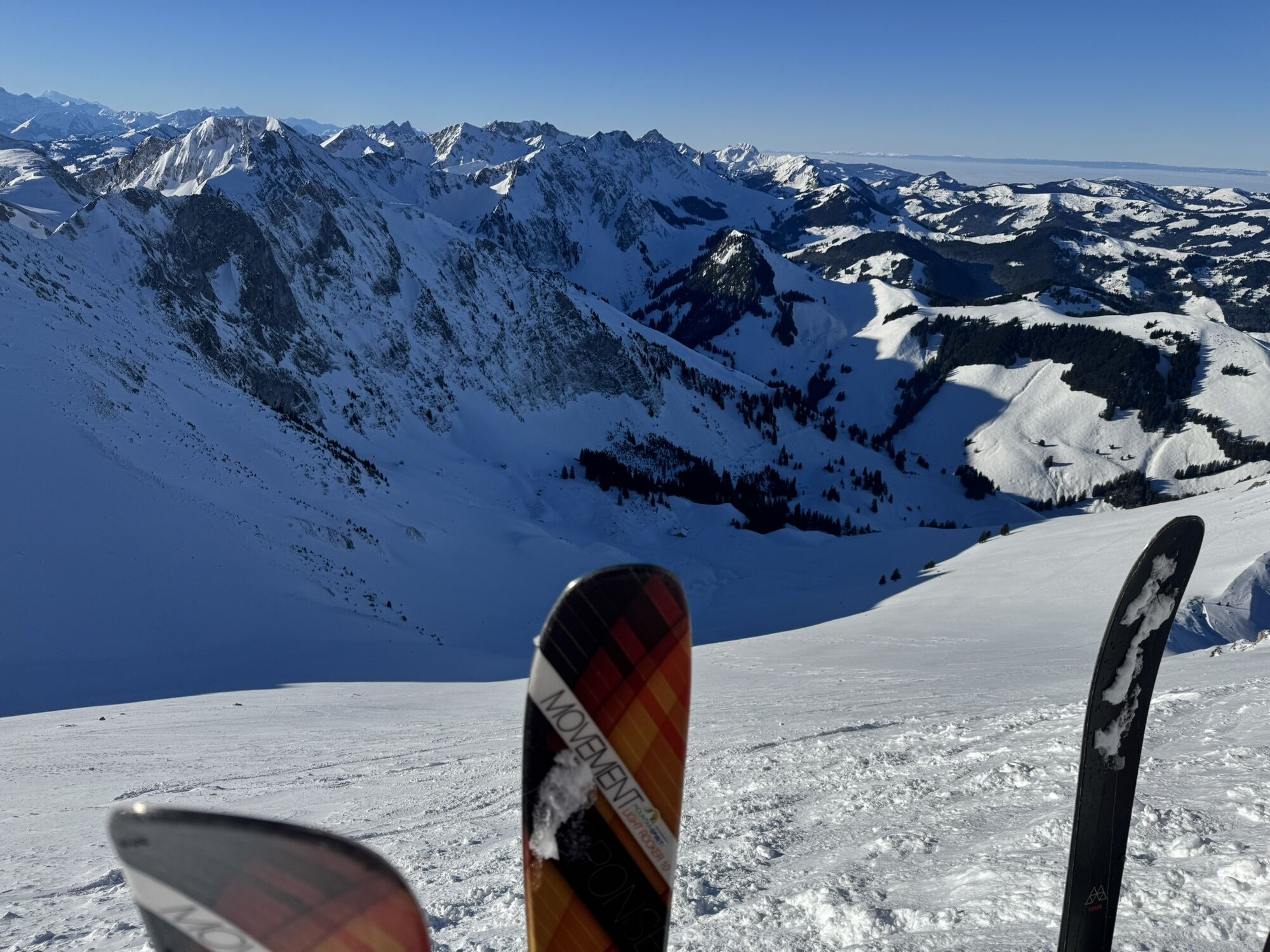
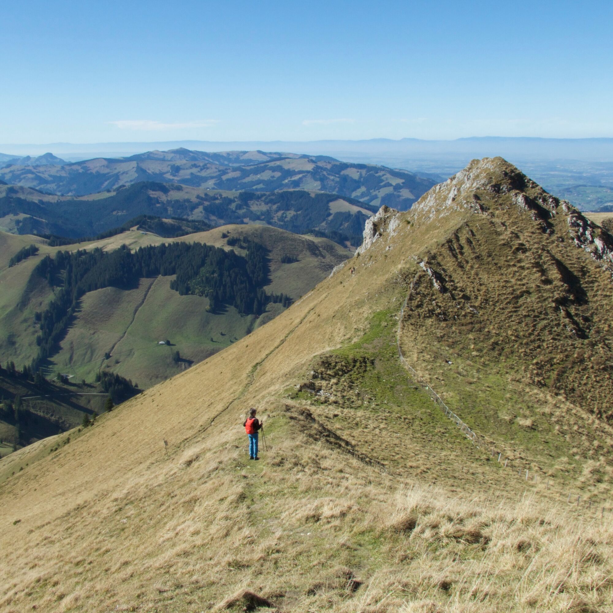
Passing the disused sulfur spring, you ascend to the Lauigrat, which you follow up to the saddle after Huerlisboden. The mountain path crosses the southwest flank towards Alpiglegalm. The view also opens...
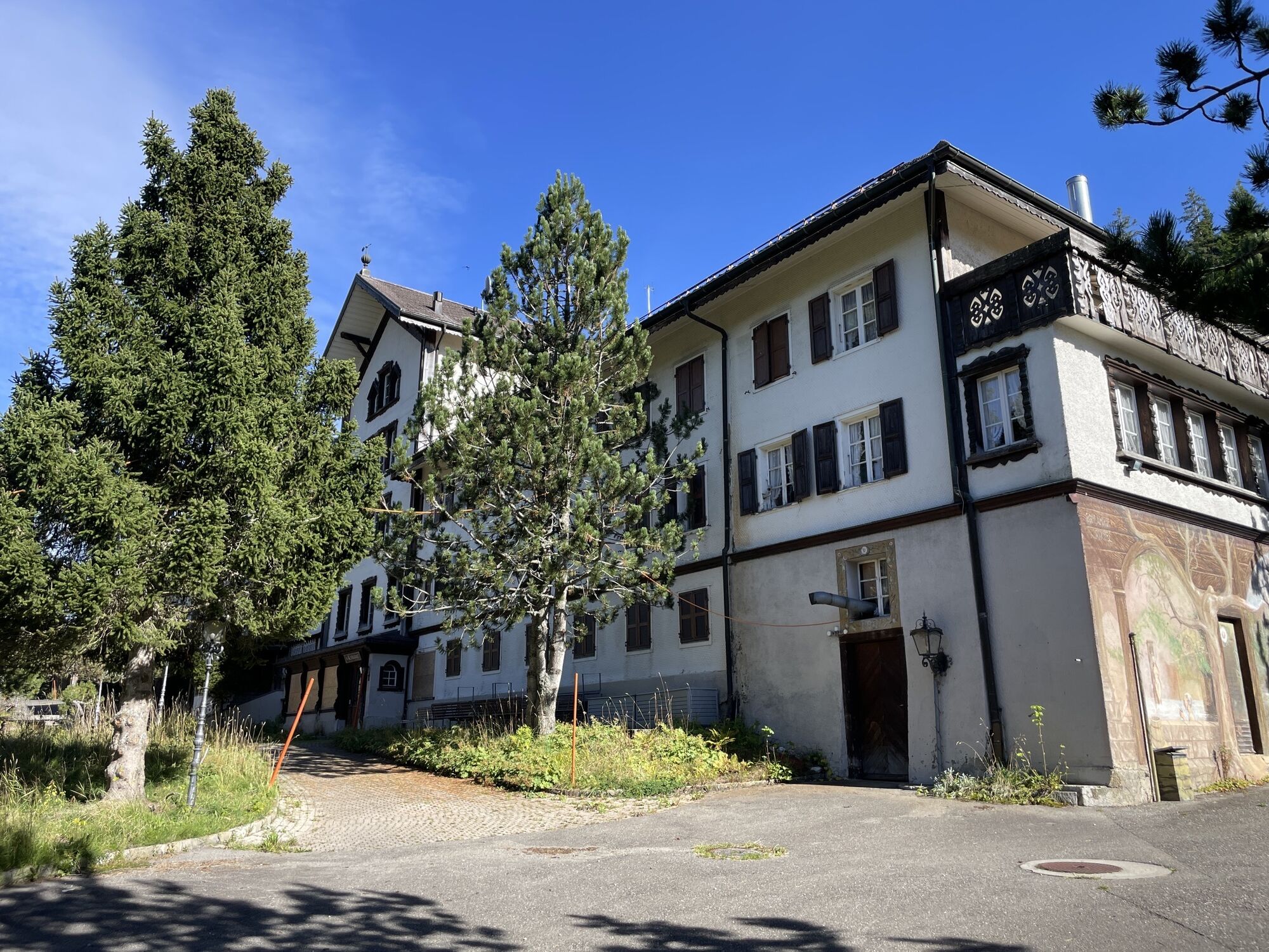
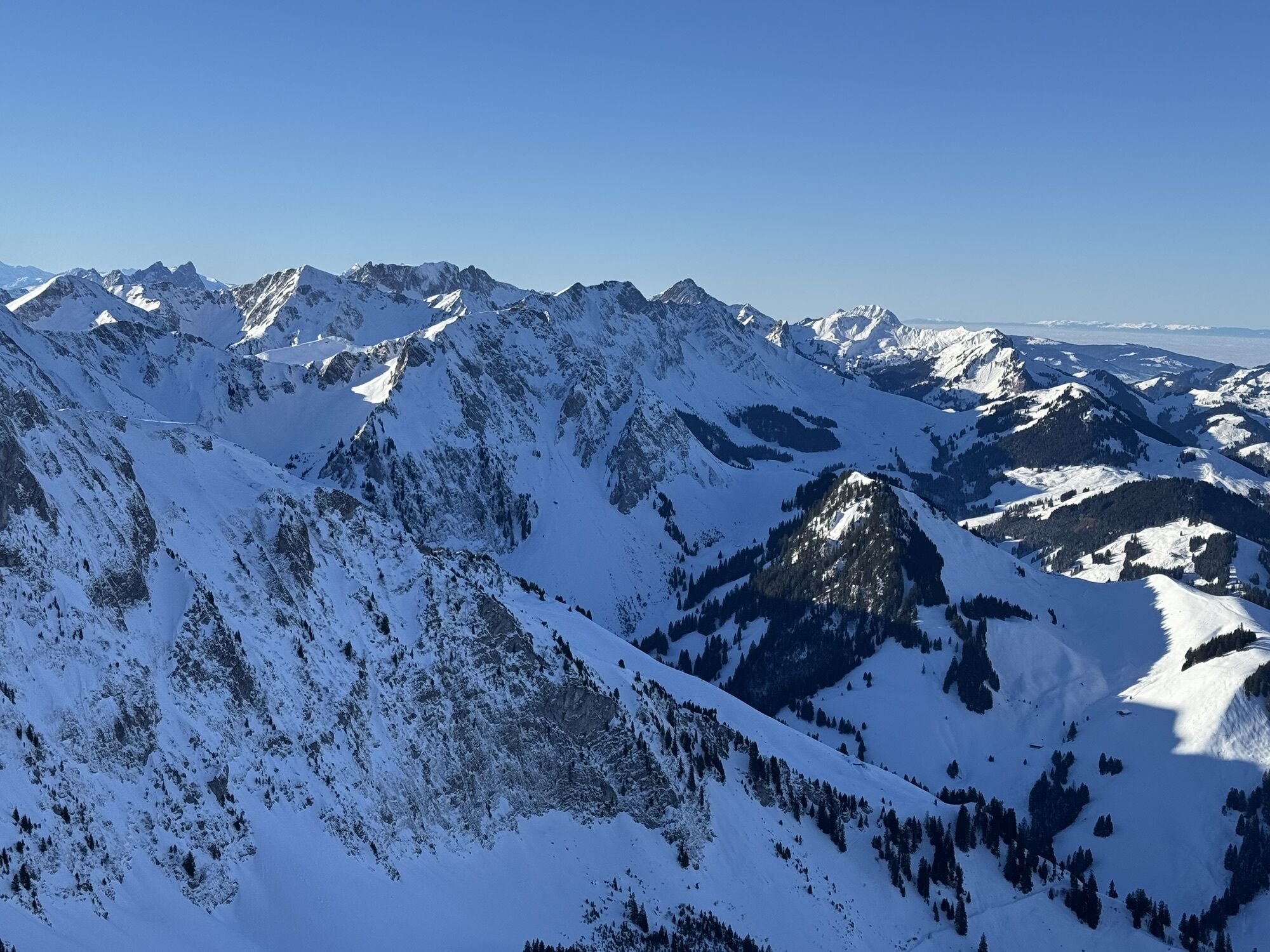
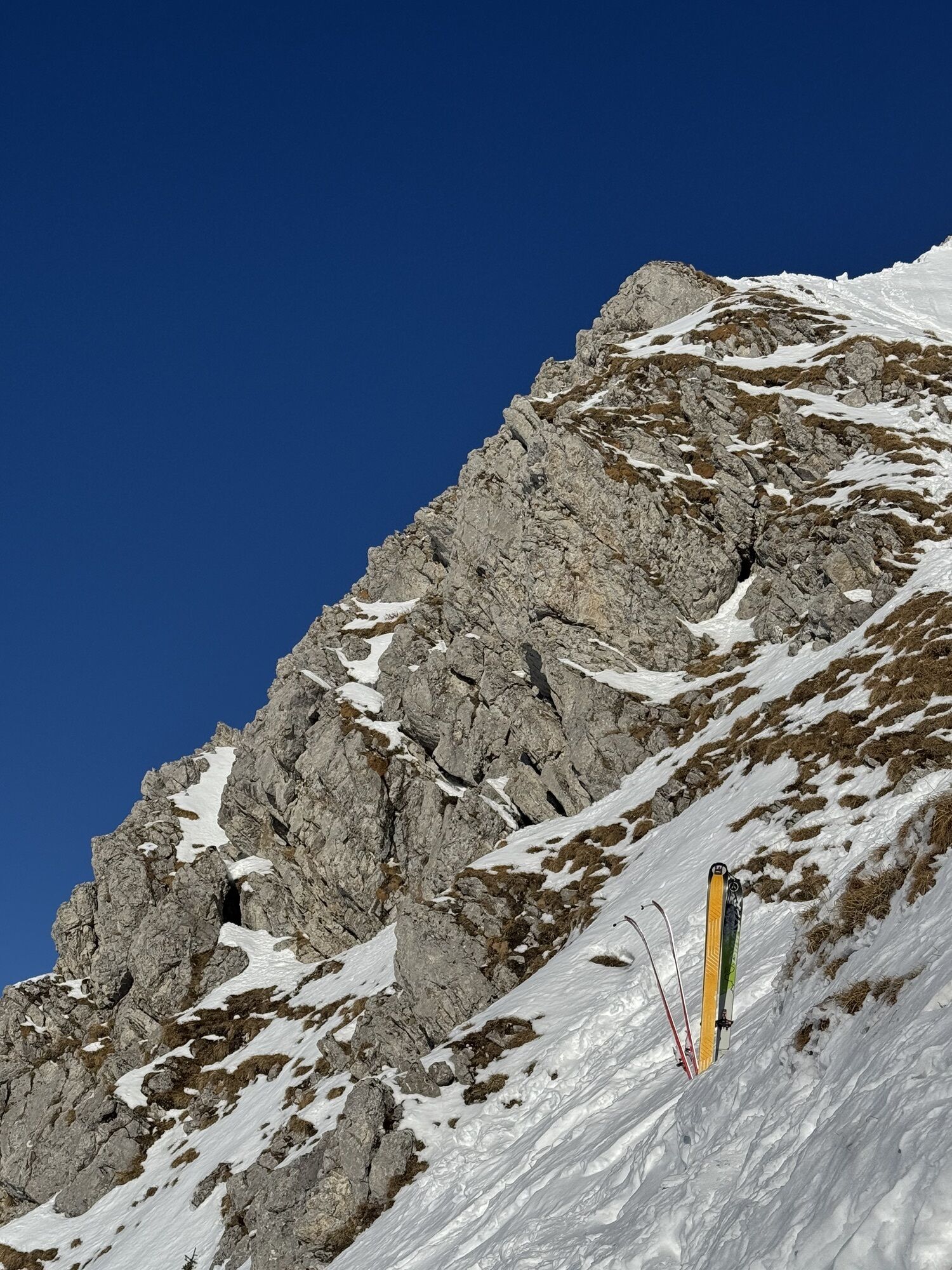
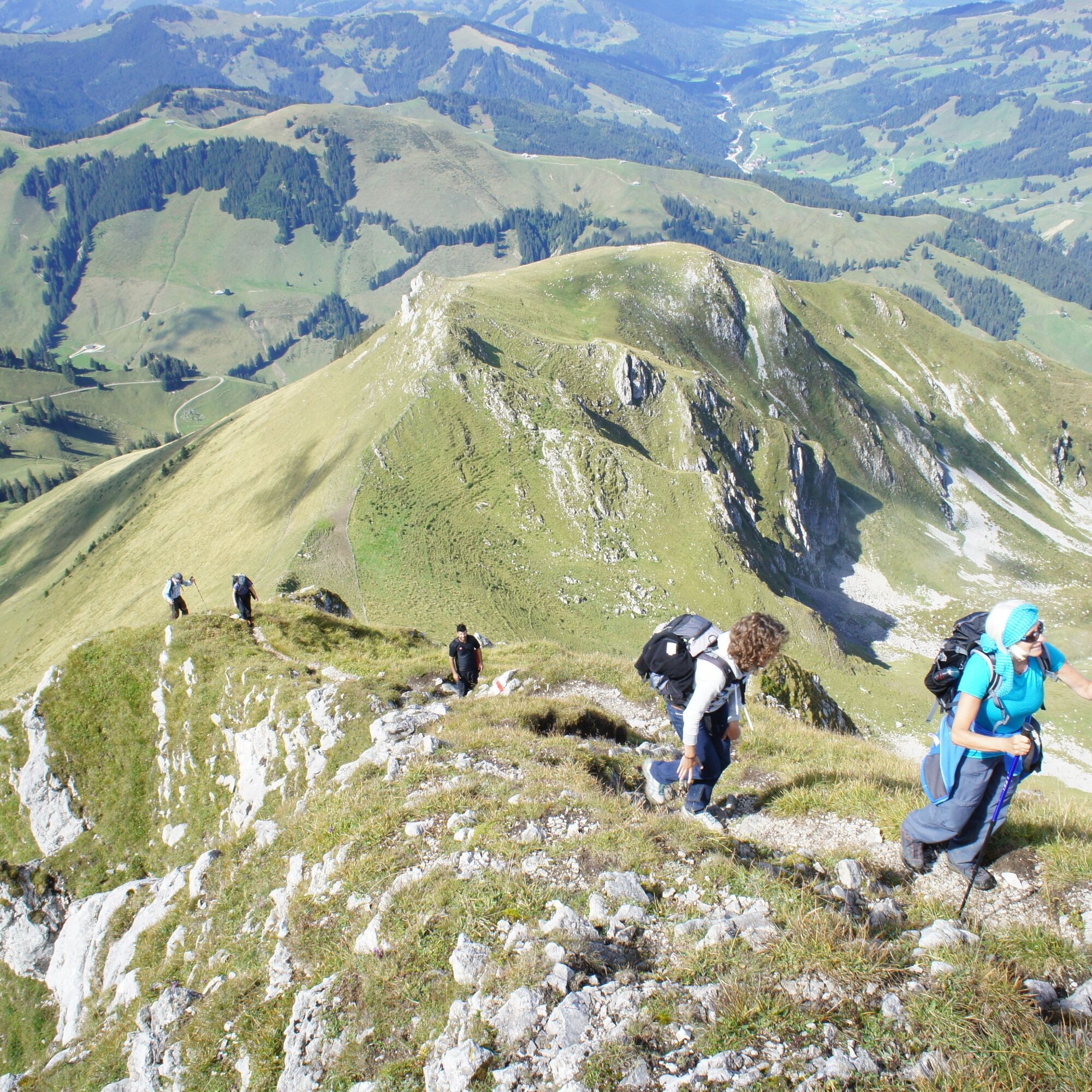
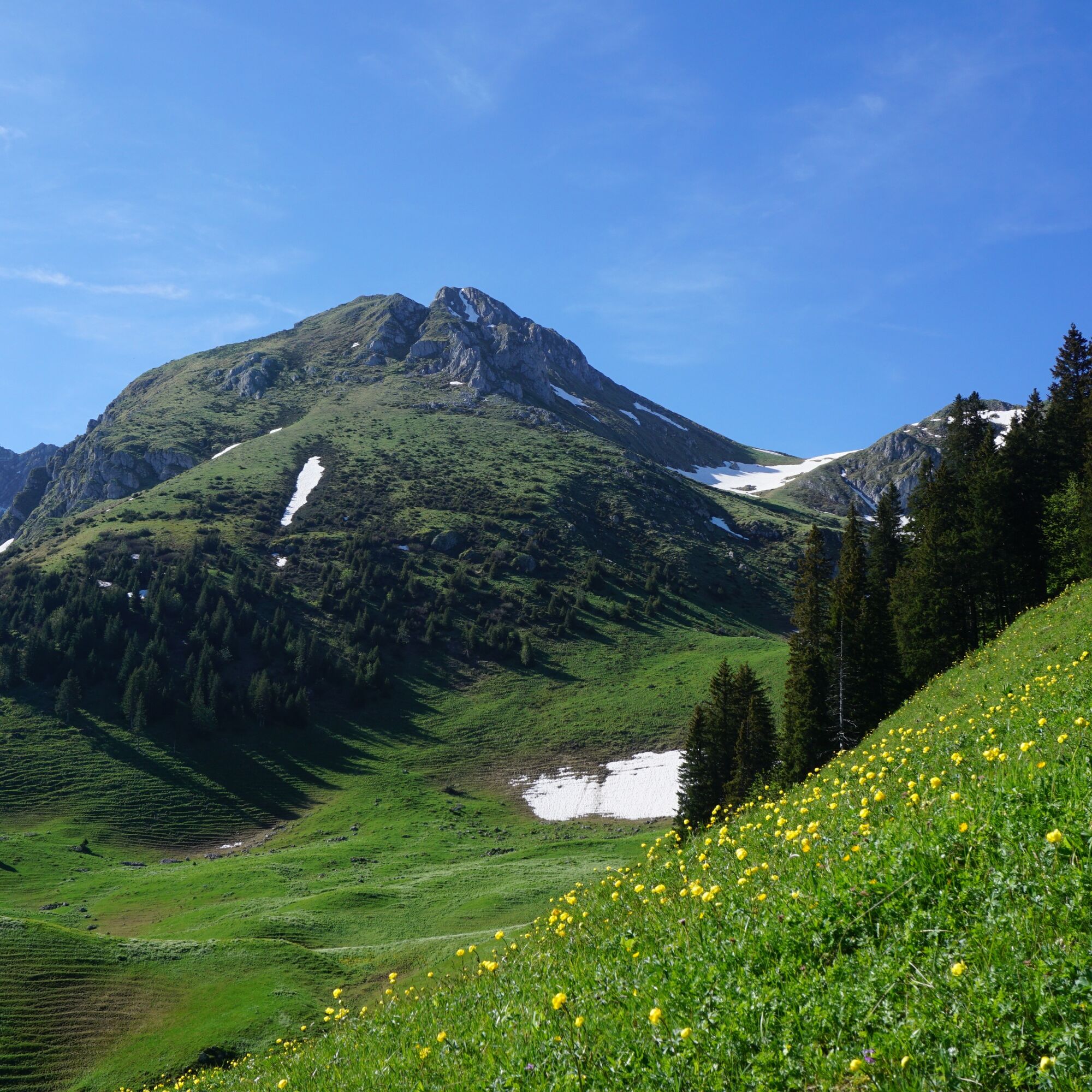
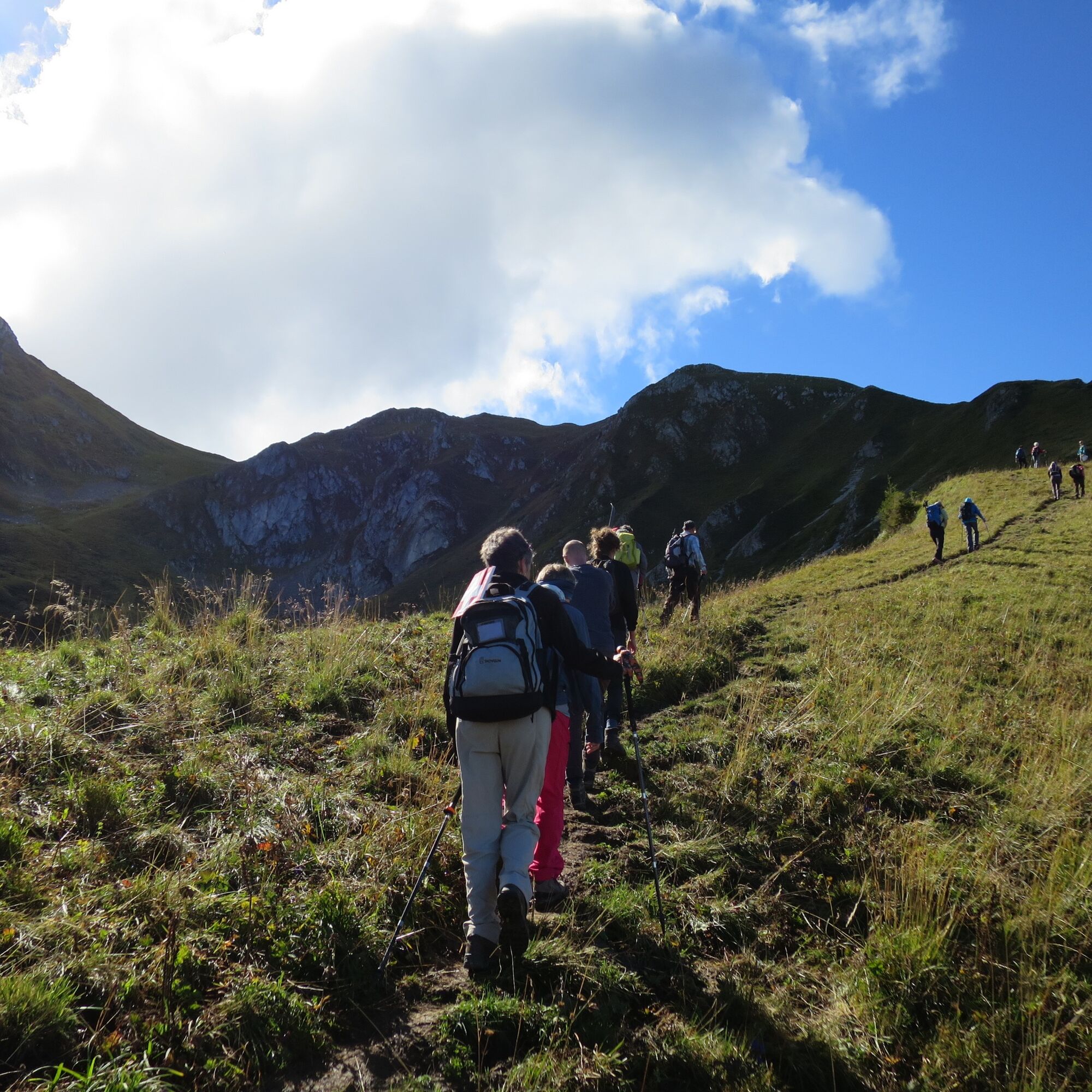
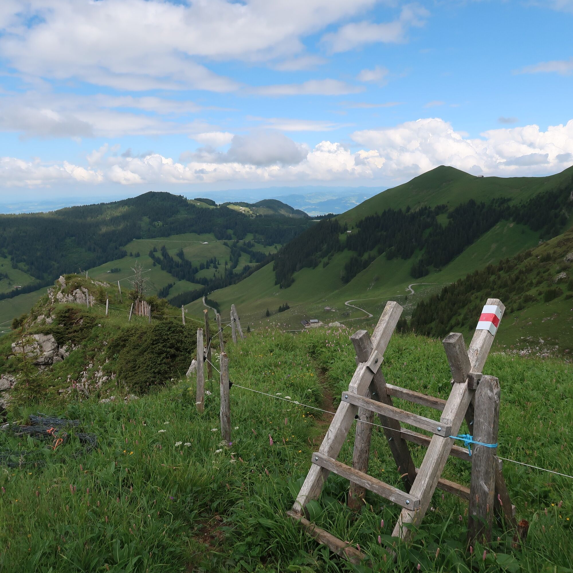
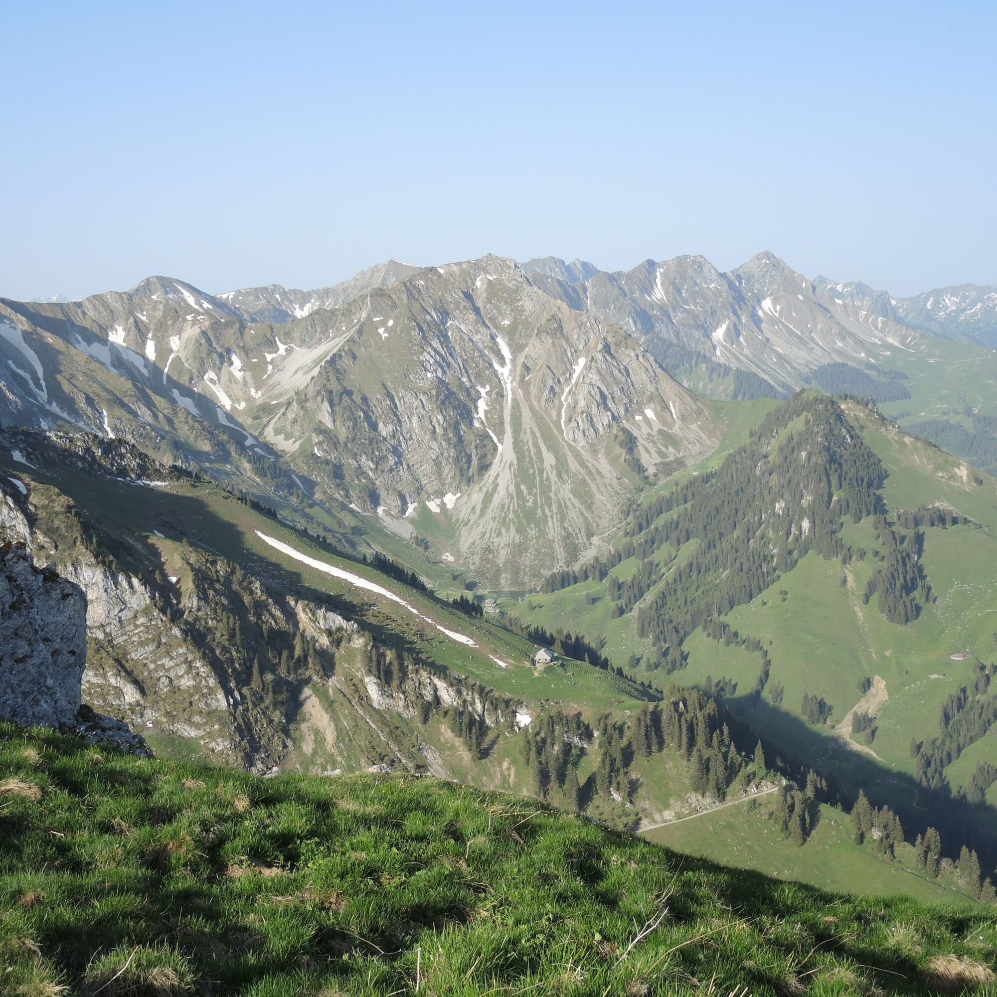
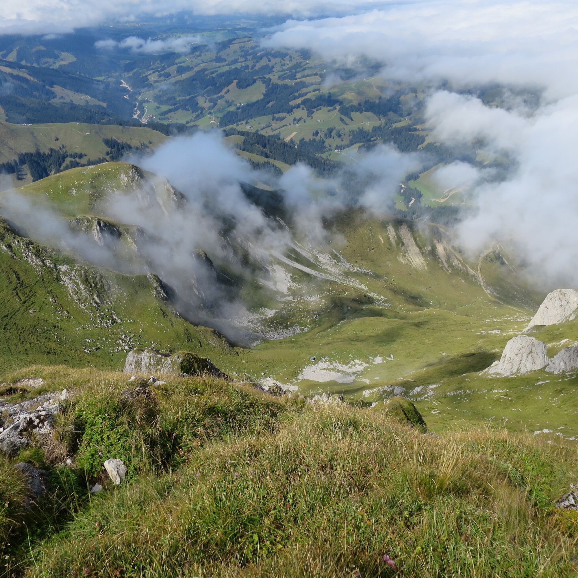
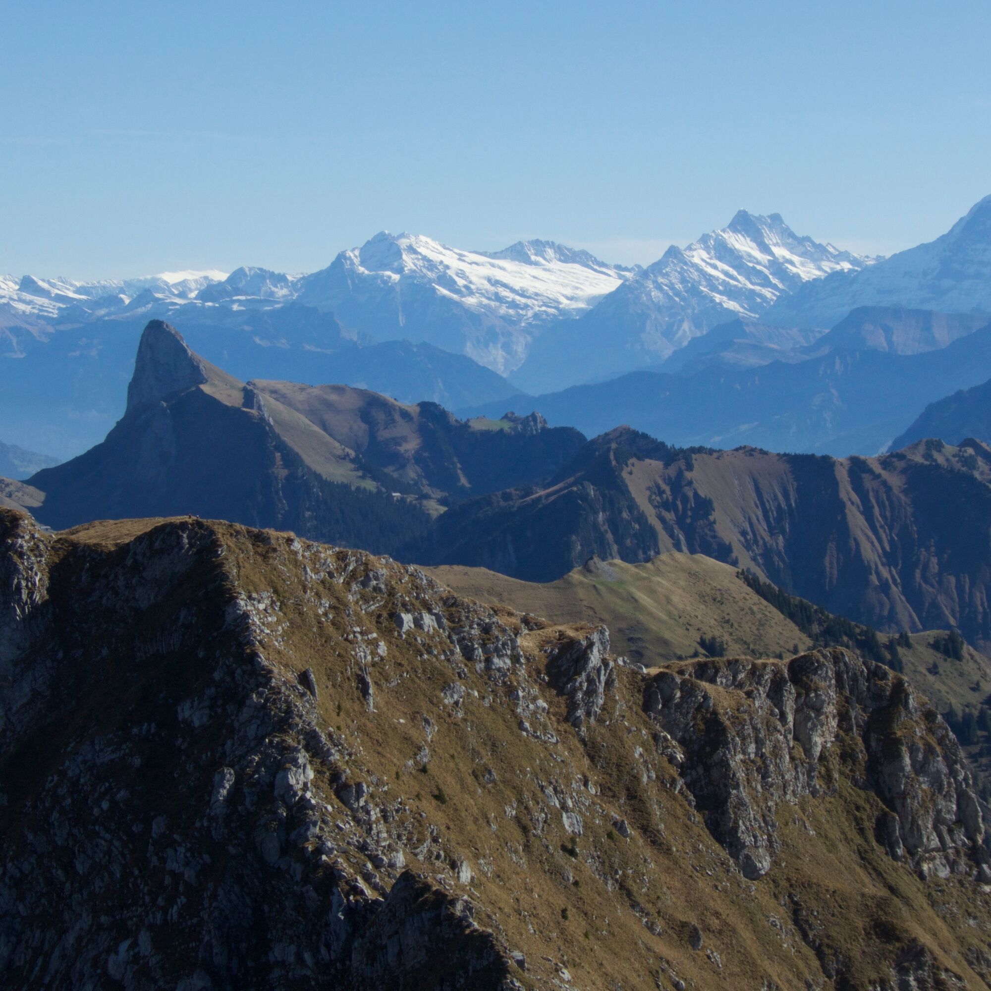
Passing the disused sulfur spring, you ascend to the Lauigrat, which you follow up to the saddle after Huerlisboden. The mountain path crosses the southwest flank towards Alpiglegalm. The view also opens up to the Oberland mountains. Via the south ridge, you finally reach the summit of Ochsen, which is quite exposed. The highest point of the Gantrisch Nature Park offers a magnificent panoramic view of the Gantrisch chain from Stockhorn to the Fribourg Alps and, of course, out onto the Central Plateau and towards the Oberland. With good weather, even Mont Blanc can be spotted. The descent takes place via the same route to the Schwefelbergbad Post bus station.


Ano
Ano
Weather-appropriate hiking equipment
Route with Switzerland Mobility


Webové kamery z prohlídky




Oblíbené prohlídky v okolí
- 4.6
Gantrisch Summit Hike, 2176 m elevation
středníTuristika 9.13 km - 4.5
Wasserscheide - Gantrisch Seeli
světloTuristika 9.33 km - 4.3
High-altitude hike Gurnigel - Stockhorn
středníTuristika 11.2 km - 3.7
Breccaschlund Panorama Trail (Switzerland Mobility 267)
středníTuristika 12.9 km - 5.0
Schwarzsee Circular Route (SchweizMobil 787)
světloZimní turistika 4.10 km - 5.0
Riggisalp-Brecca-Schwarzsee Gypsera
středníTuristika 10.1 km - 4.7
Schwarzsee circular route Häxewääg
světloTematická stezka 4.10 km - 4.8
Alpine Panorama Route Stage 20 (SchweizMobil 3)
středníTuristika 12.2 km - 5.0
Jaunpass
světloSněžnice 7.92 km - 4.0
Circular hike Gürbequelle
středníTuristika 8.24 km

Pěší turistika a stopování


Nenechte si ujít nabídky a inspiraci pro vaši příští dovolenou
Vaše e-mailová adresa byl přidán do poštovního seznamu.





