







Schwarzsee Circular Route (SchweizMobil 787)
Úroveň obtížnosti: 1
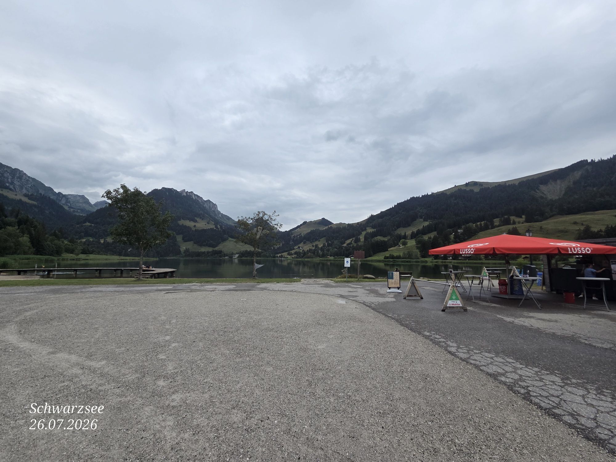
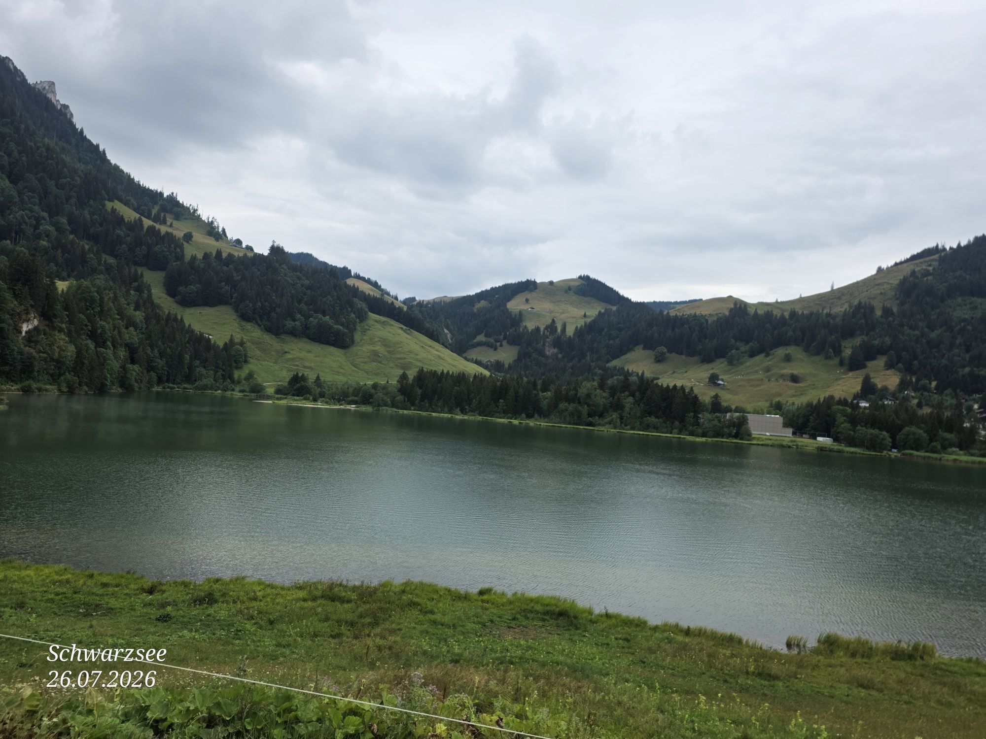
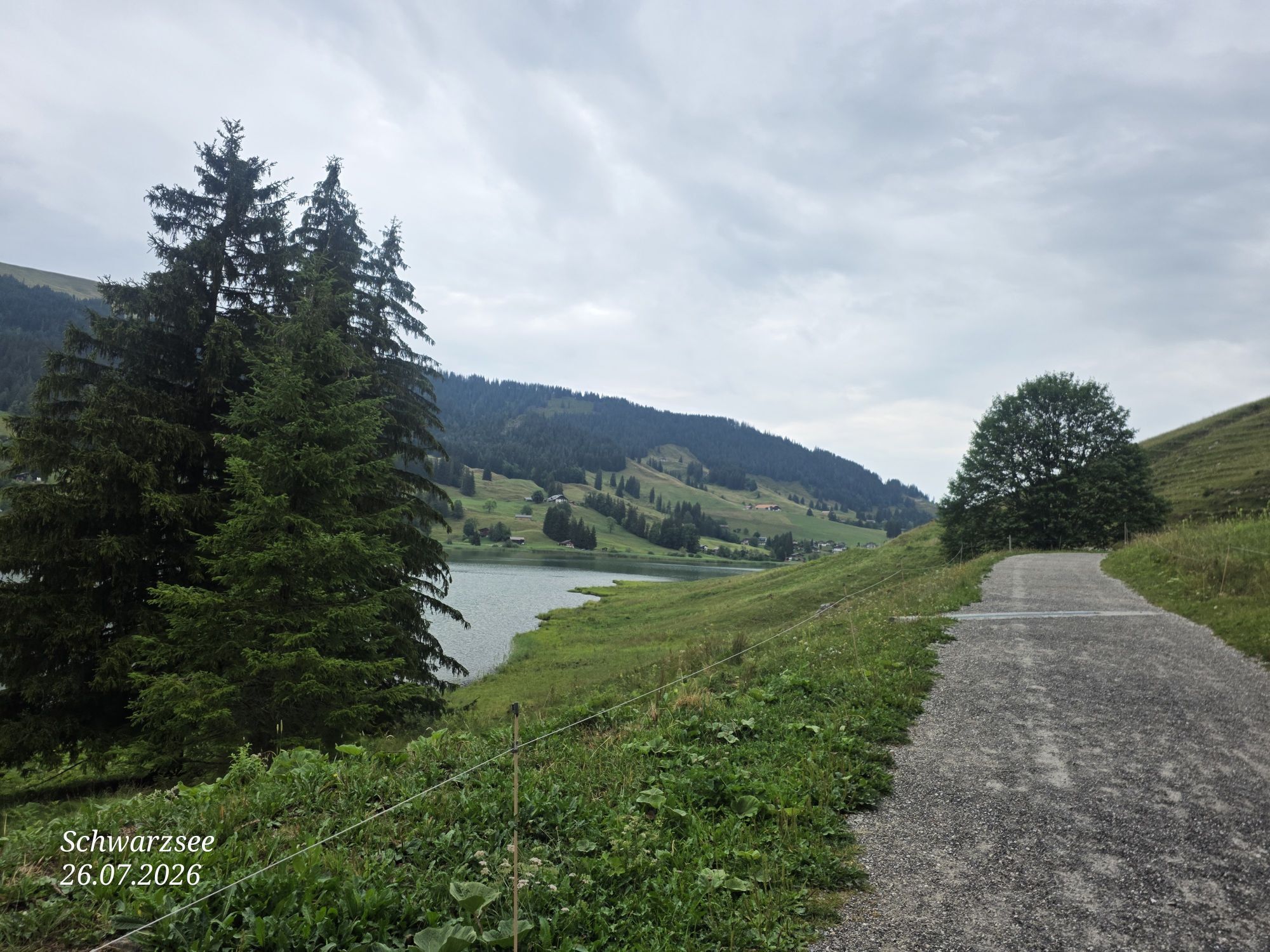
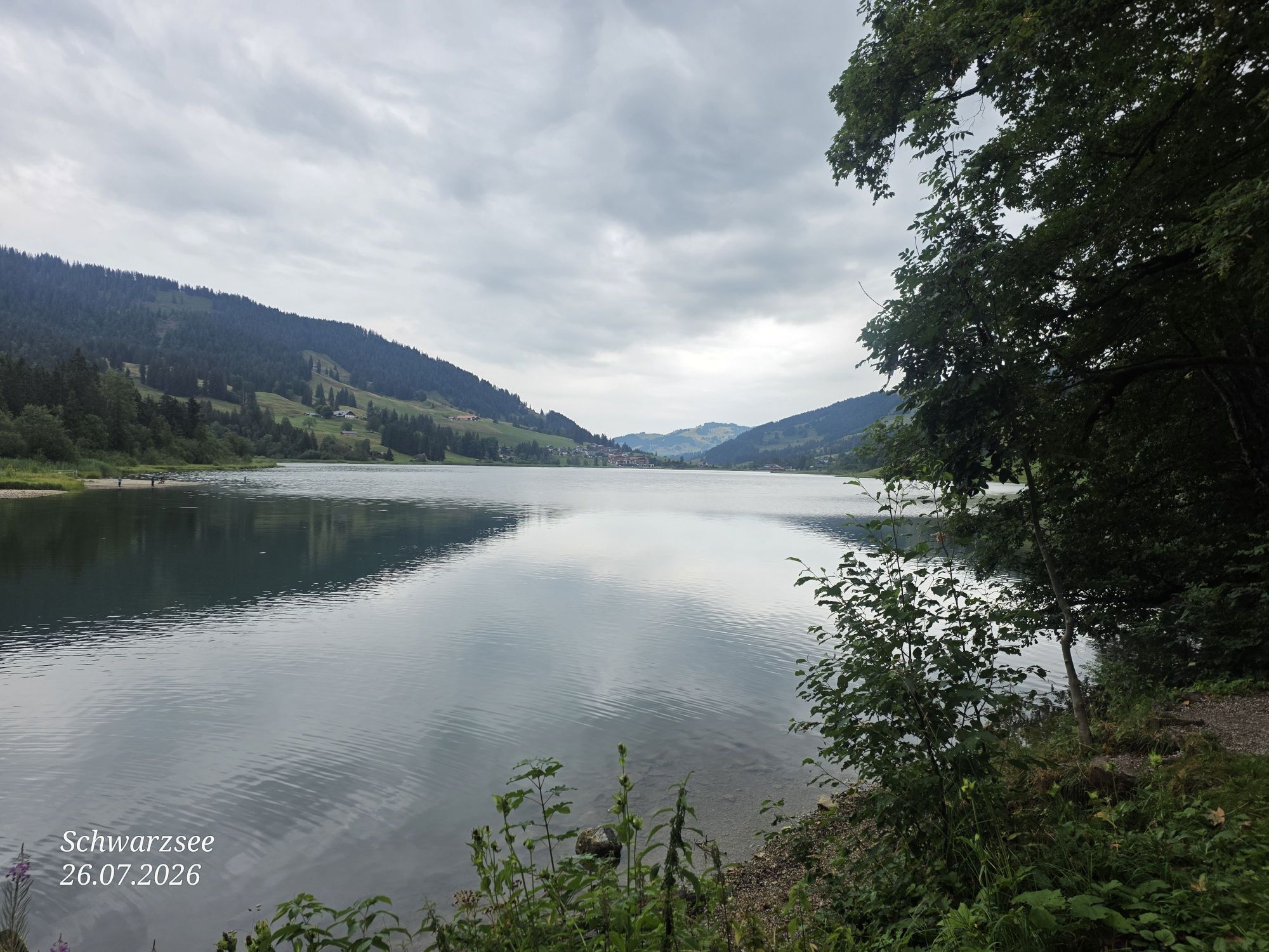
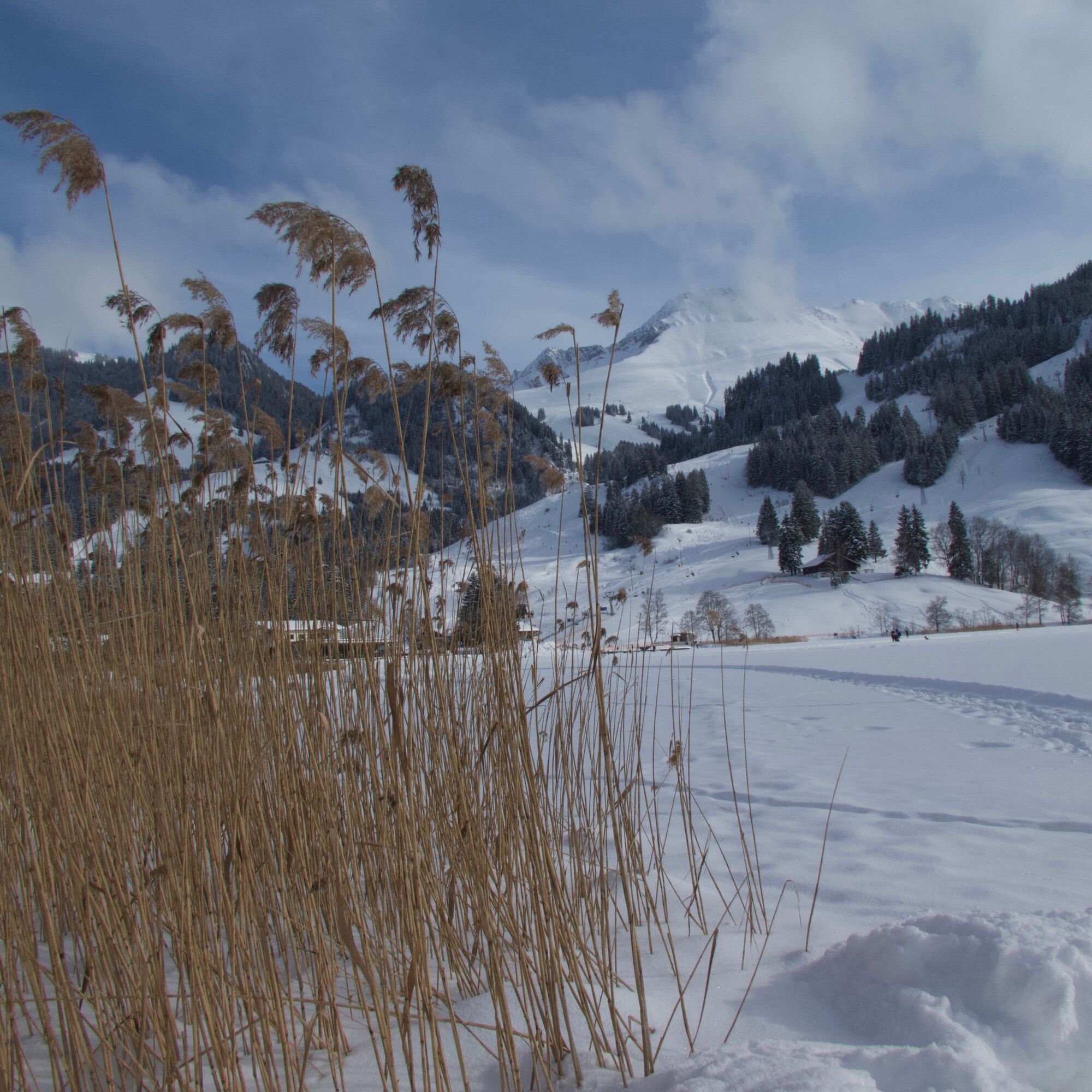
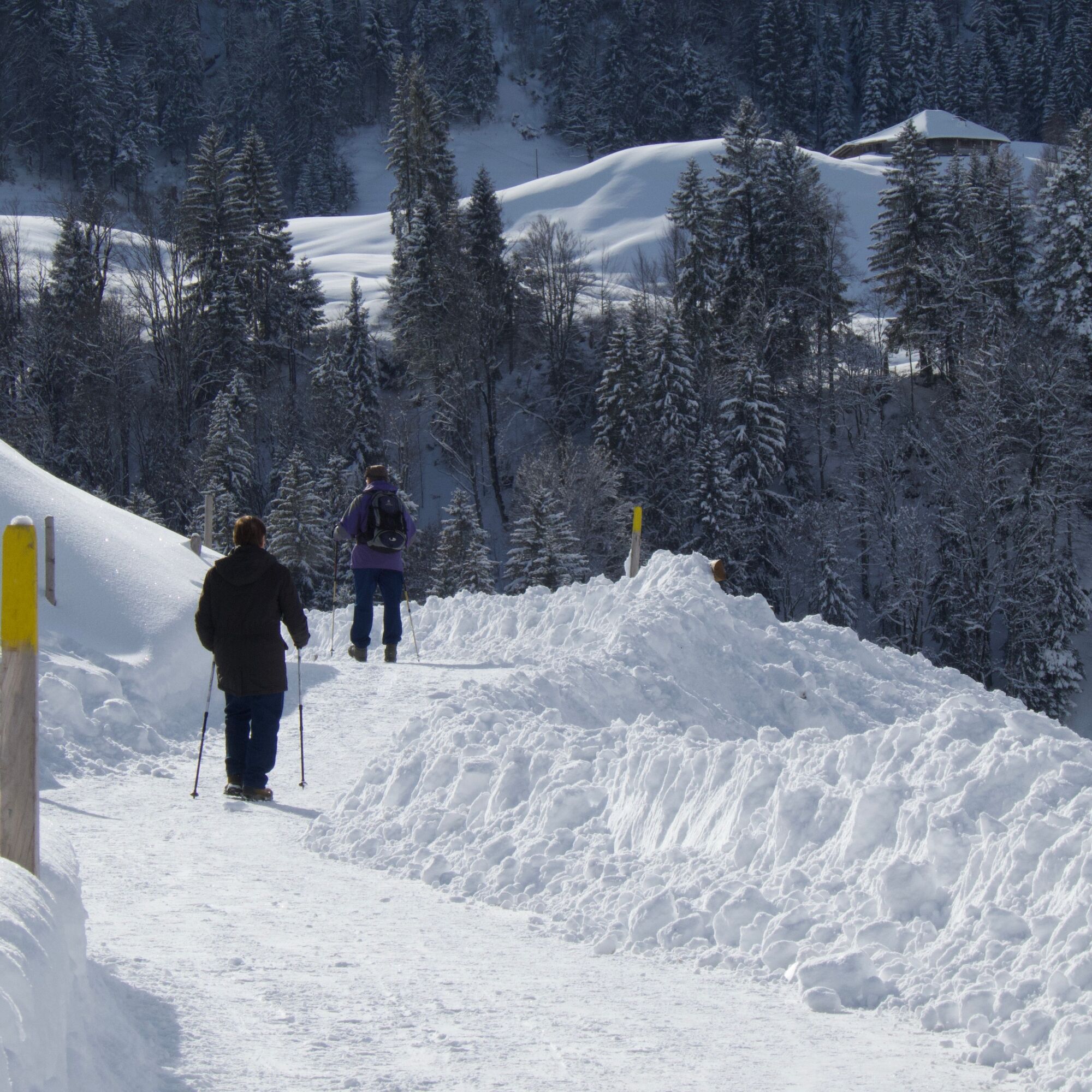
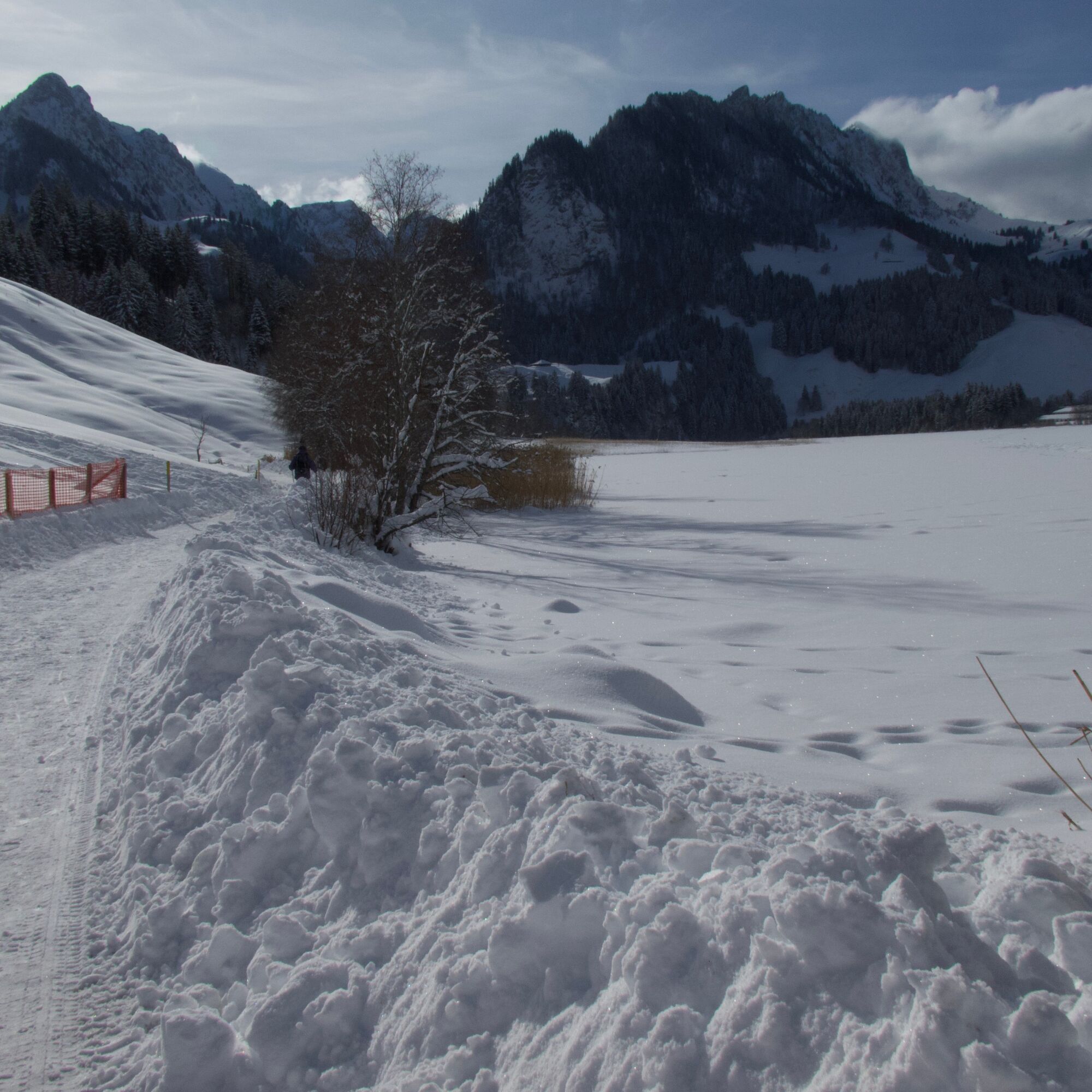
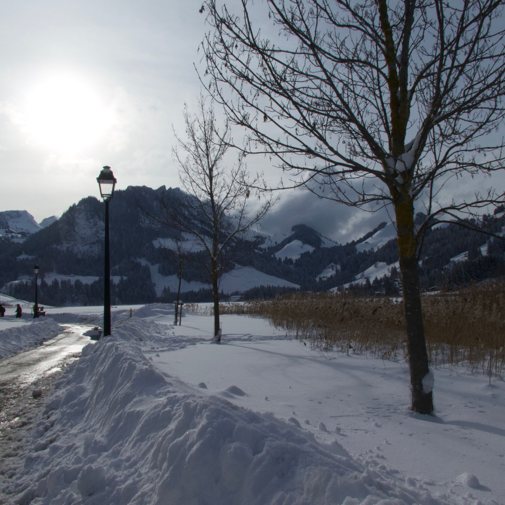
On the easy winter hike around Schwarzsee, the everyday hustle and bustle can quickly be forgotten. A series of rugged limestone mountains surround the lake, which is only ten meters deep. Proudly, the...
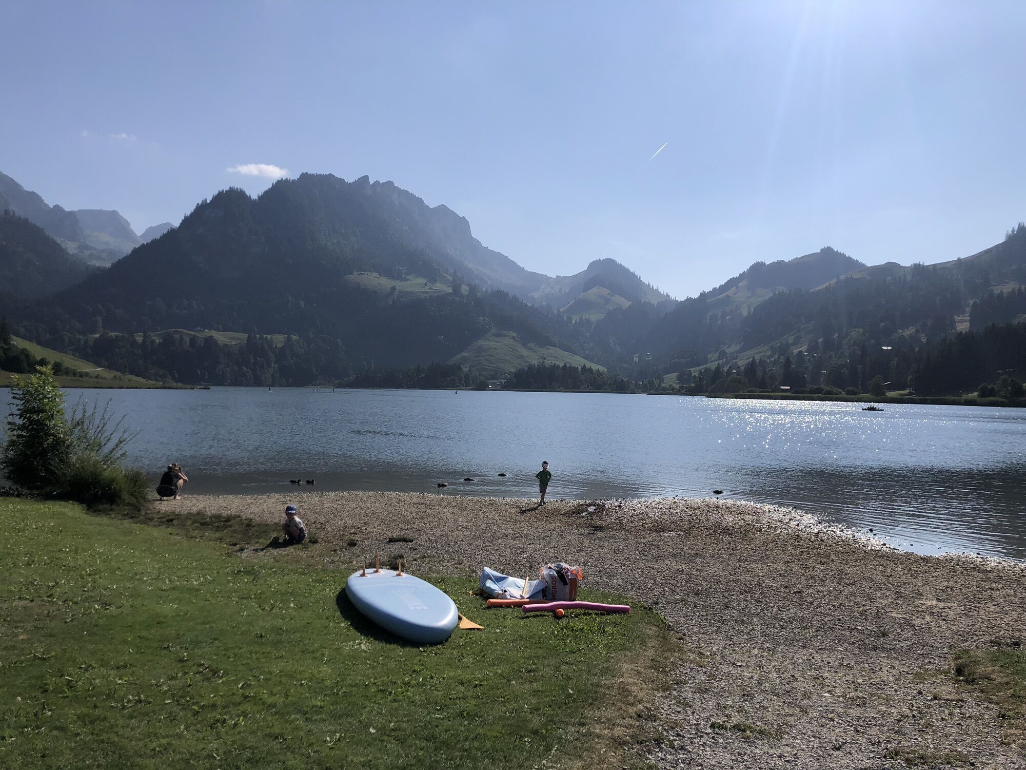
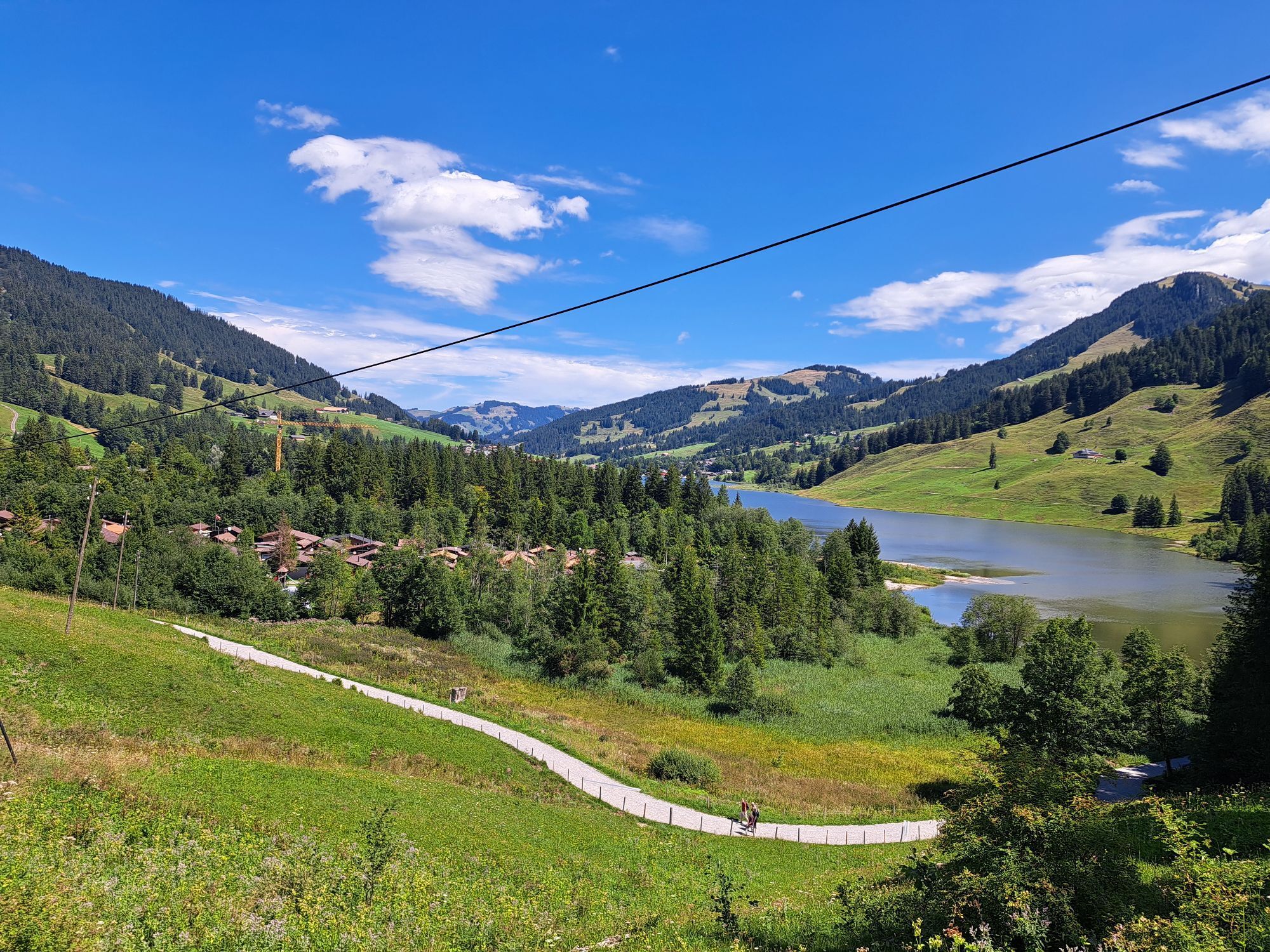
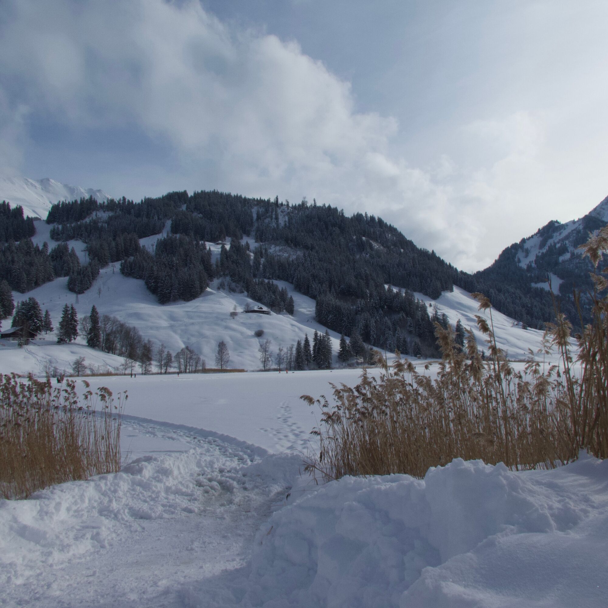
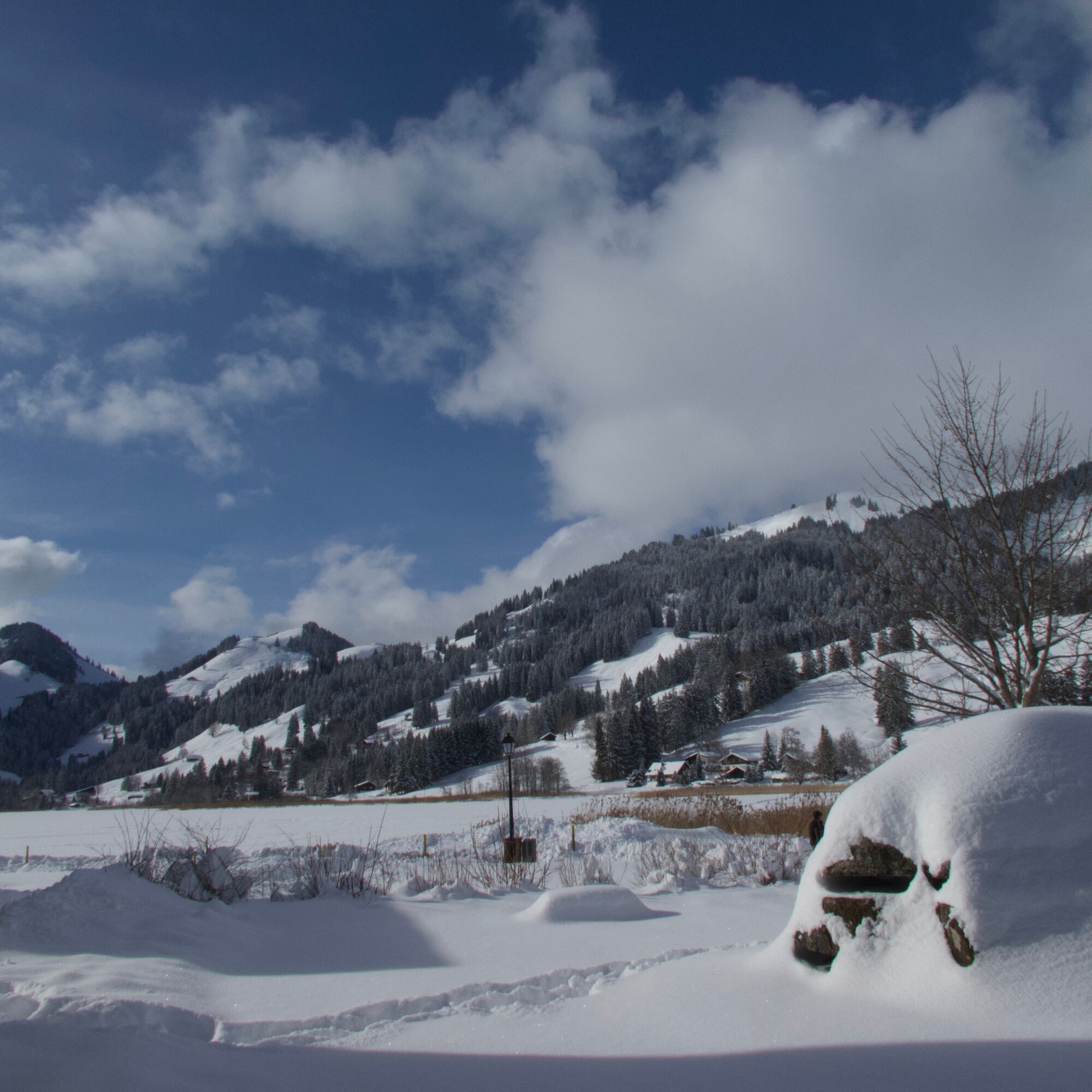
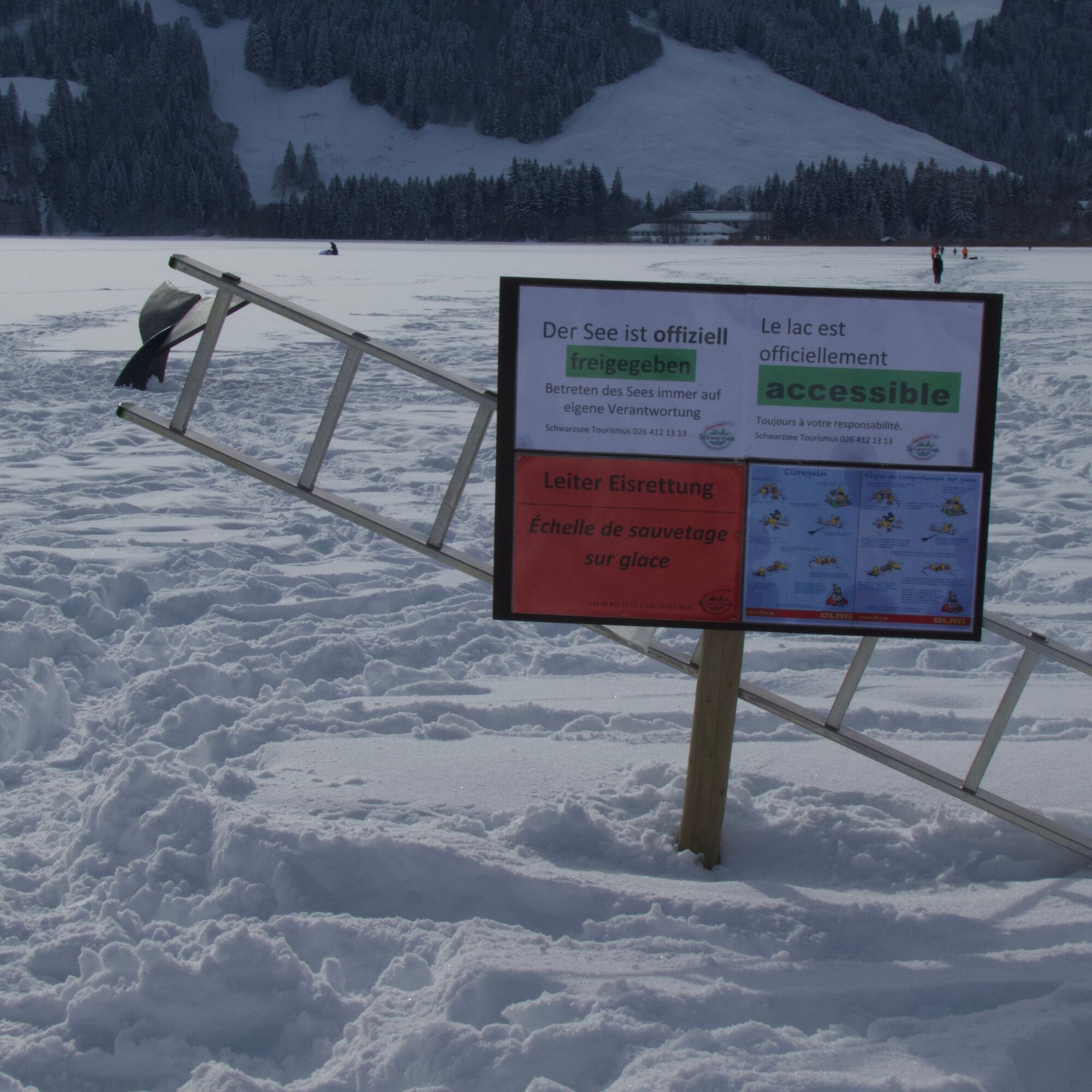
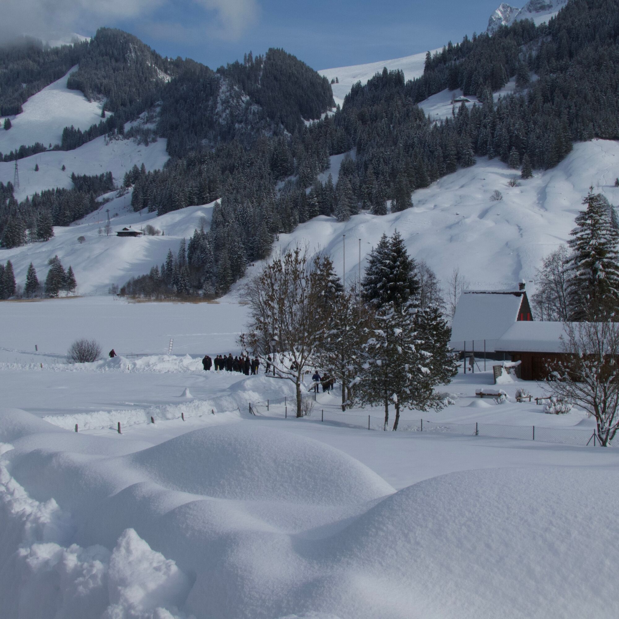
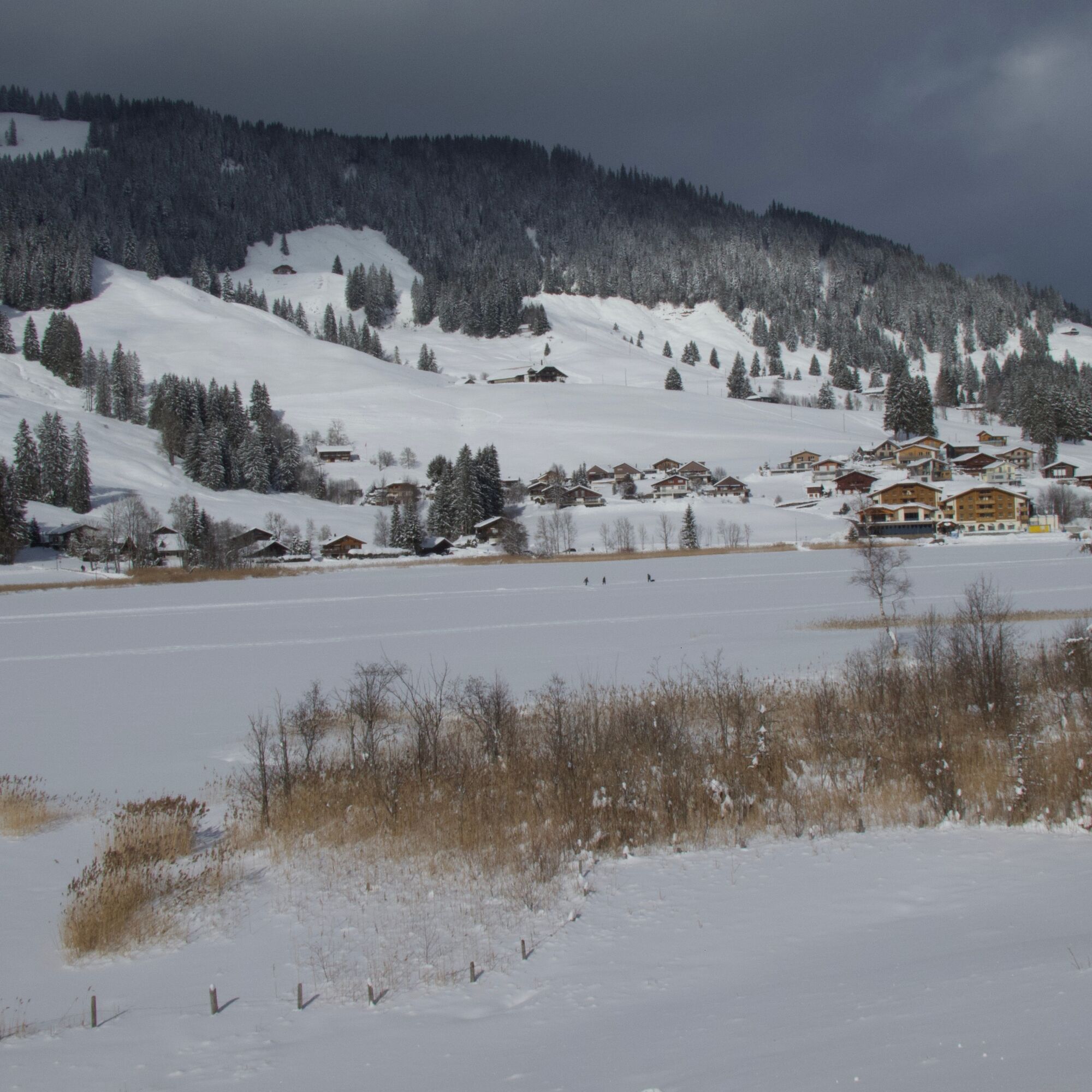
On the easy winter hike around Schwarzsee, the everyday hustle and bustle can quickly be forgotten. A series of rugged limestone mountains surround the lake, which is only ten meters deep. Proudly, the Kaiseregg towers in the east. In the south, the Spitzfluh rises, and the Schwyberg range dominates the lake basin in the west. With open water, the black color of the water immediately stands out. According to a legend, the mountain lake in the Sense-Oberland appears so dark since a giant washed his feet in it. For the winter circular hike, we naturally hope for a continuous ice cover, which may be walked on by ice skaters when officially approved. Sometimes a white layer of snow covers the ice. Now cross-country skiers also draw their tracks, and the trampled paths of winter hikers crisscross the wide, white surface.
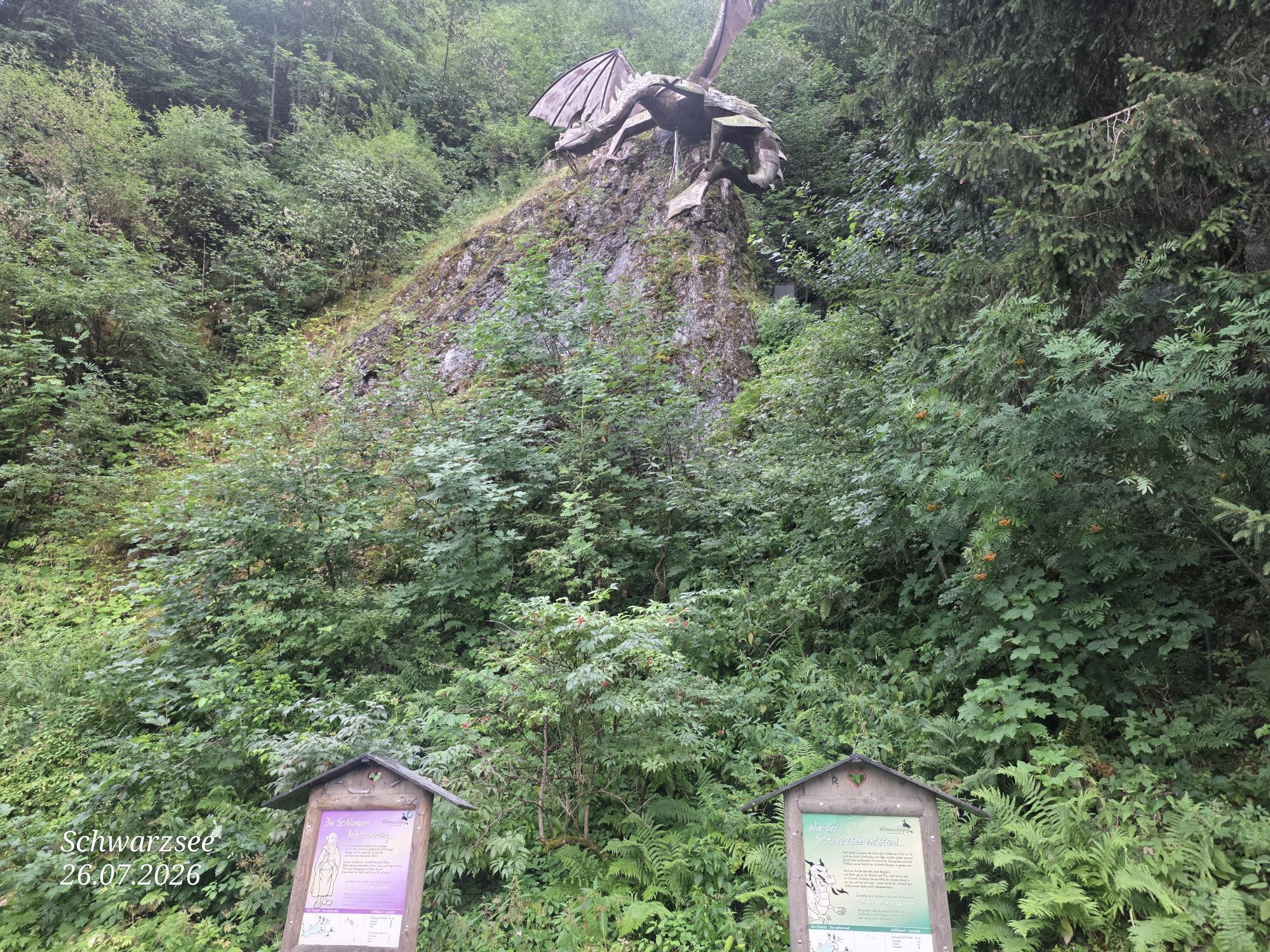
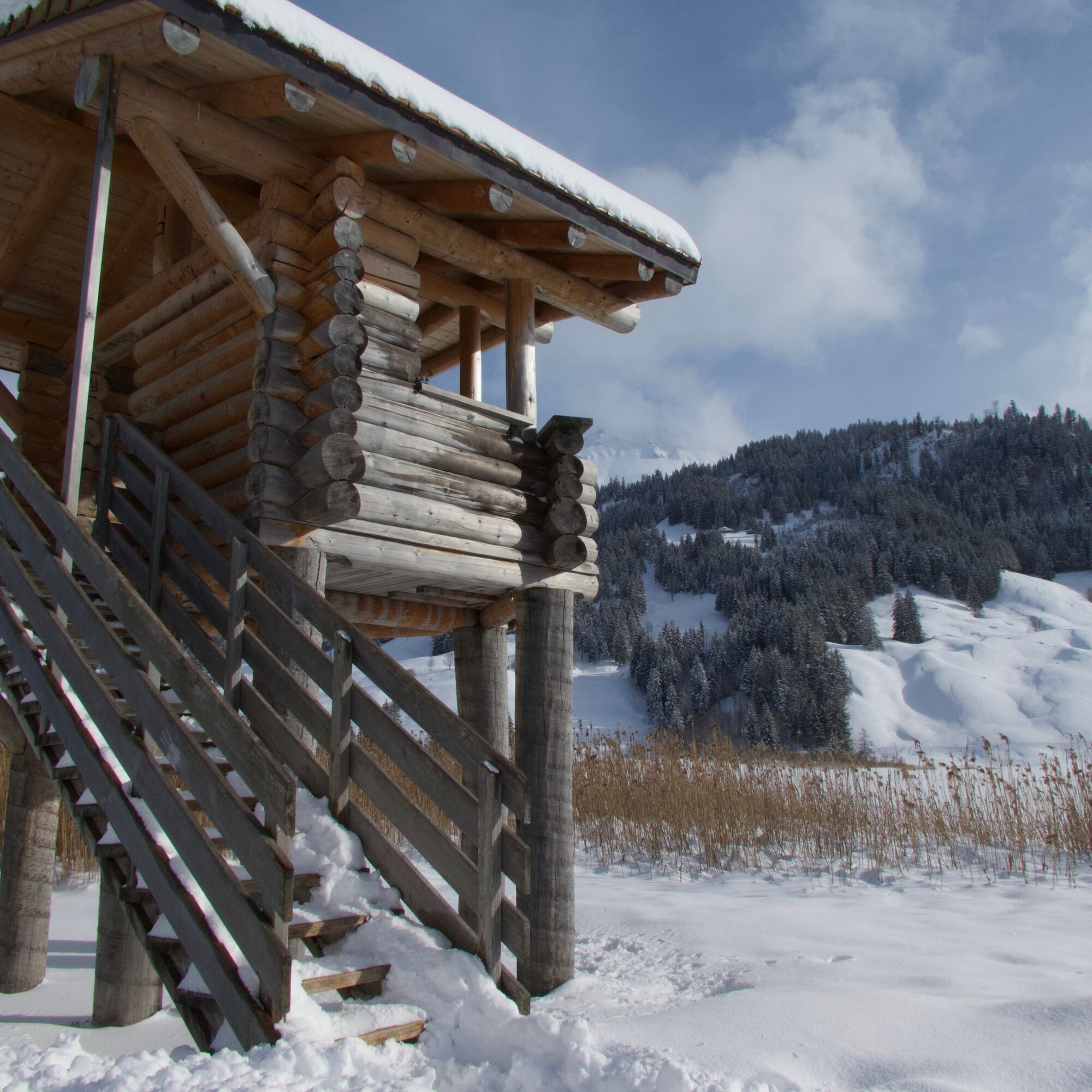
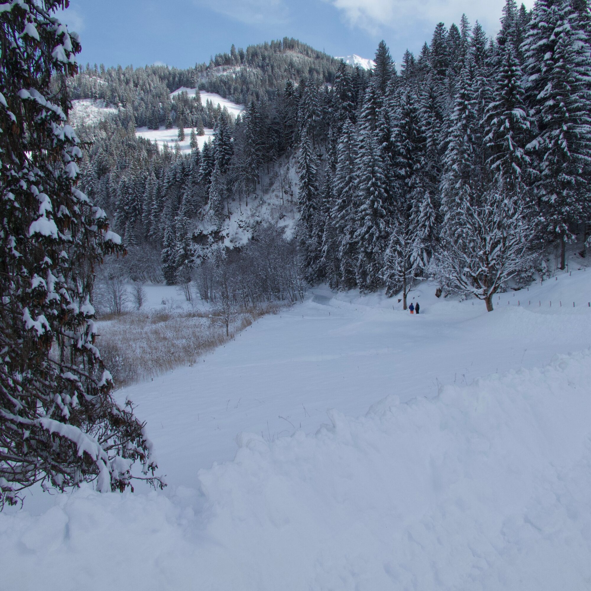
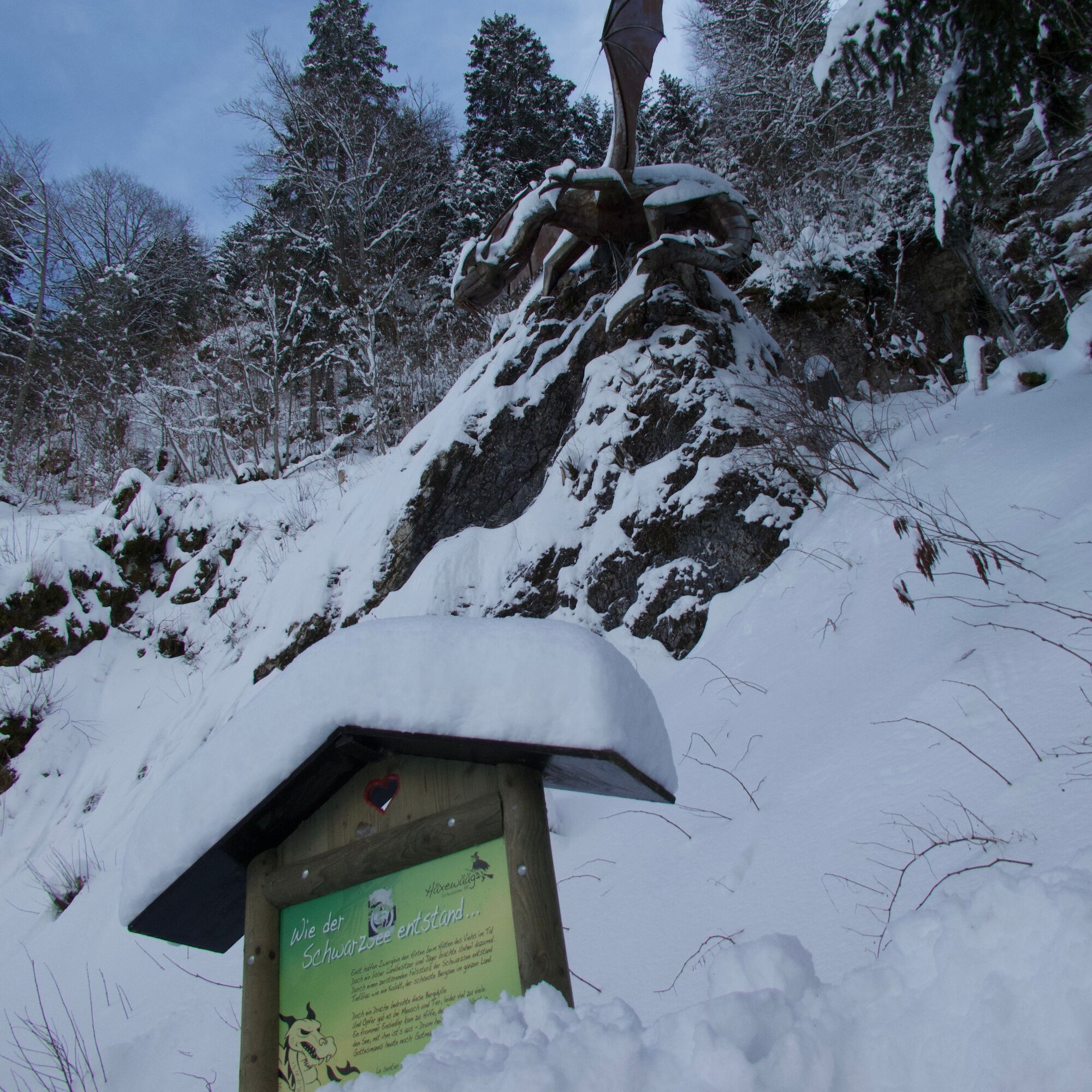
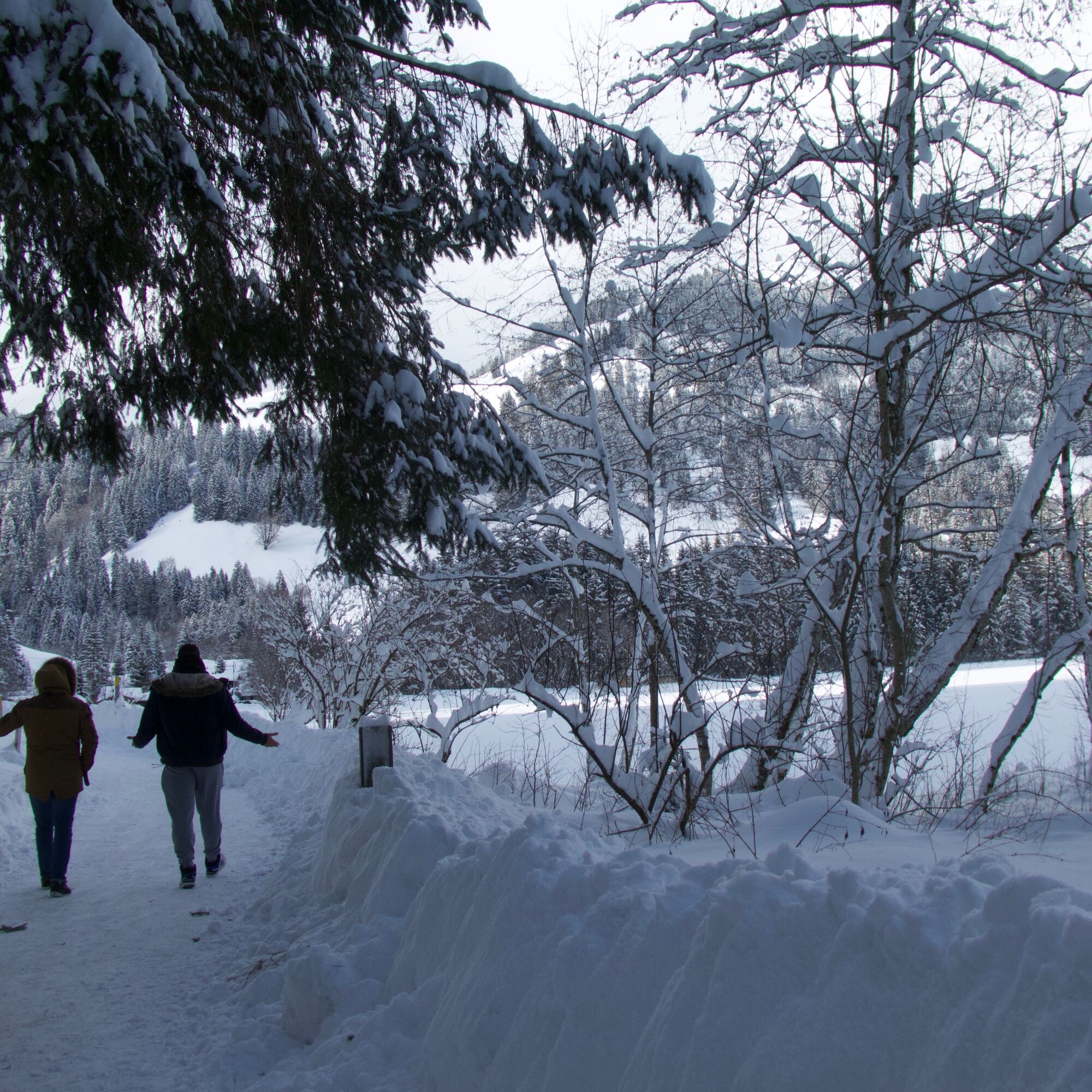
At the whale sculpture's tail fin rising from the water near Gypsera, the route begins along the groomed path, along the eastern shore. The southern part of the trail often runs in the shadow of the Pre-Alpine peaks. More surprising is the snowy dragon that suddenly looks down on the path from the forest. From the Camping Seeweid, a detour of about fifteen minutes to the spectacularly frozen Seeweidbach waterfall is also recommended. On the way back along the lake, there is also the observation tower in the Pürrena area, from which the Fribourg Pre-Alps can be admired and the Schwarzsee seen in its full size.

Ano
Ano
Schwarzsee, Gypsera SBB Timetable
Parking lot Gypsera
Arrival
1
 Získejte přehled Vždy živě na místě s více než 9 500 webkamerami. bergfex Jako uživatel Pro si nyní můžete zobrazit odpovídající webové kamery pro mnoho prohlídek v aplikaci prohlídky z. Můžete si tak přímo prohlédnout aktuální podmínky.
Oblíbené prohlídky v okolí
- 4.6
Gantrisch Summit Hike, 2176 m elevation
středníTuristika 9.13 km - 4.8
Wasserscheide - Gantrisch Seeli
světloTuristika 9.33 km - 3.7
Breccaschlund Panorama Trail (Switzerland Mobility 267)
středníTuristika 12.9 km - 4.7
Summit hike Ochsen, 2188 m above sea level
středníTuristika 7.94 km Patraflon & Schopfenspitz
středníTuristika 15.1 km- 4.7
Schwarzsee circular route Häxewääg
světloTematická stezka 4.10 km - 5.0
Riggisalp-Brecca-Schwarzsee Gypsera
středníTuristika 10.1 km - 4.6
Abländschen - Chalet Grat - Chalet Du Soldat - Wolfs Ort
středníTuristika 14.6 km - 5.0
Jaunpass
světloSněžnice 7.92 km Schwarzsee - Patraflon - Pointe de Balachaux - Schopfenspitz - Combi - Stierenberg - Schwarzsee
středníTuristika 14.8 km
Pěší turistika a stopování


Nenechte si ujít nabídky a inspiraci pro vaši příští dovolenou
Vaše e-mailová adresa byl přidán do poštovního seznamu.





