







Circular hike Gürbequelle

Úroveň obtížnosti: T1
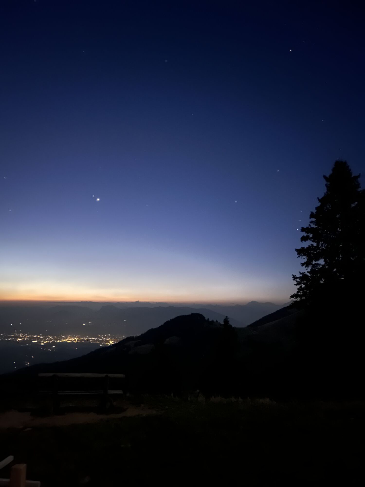
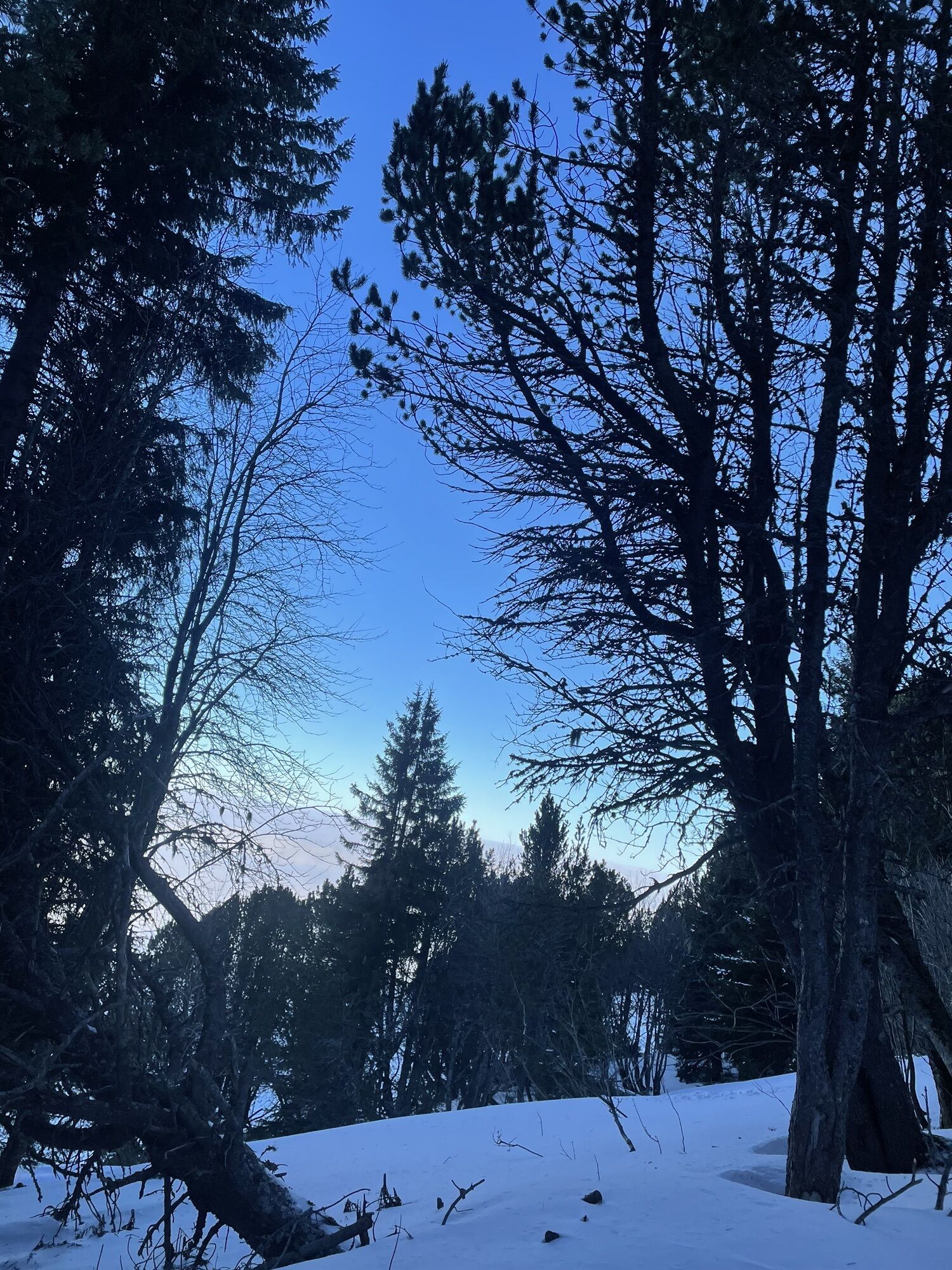
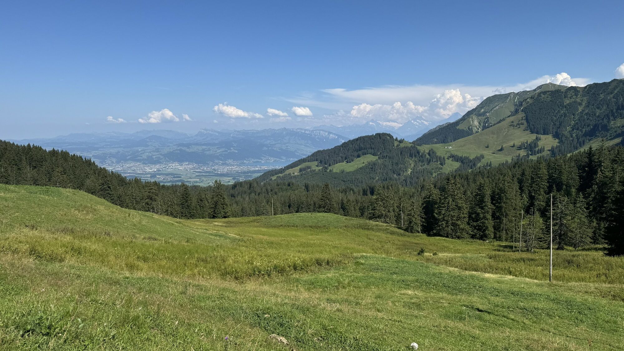
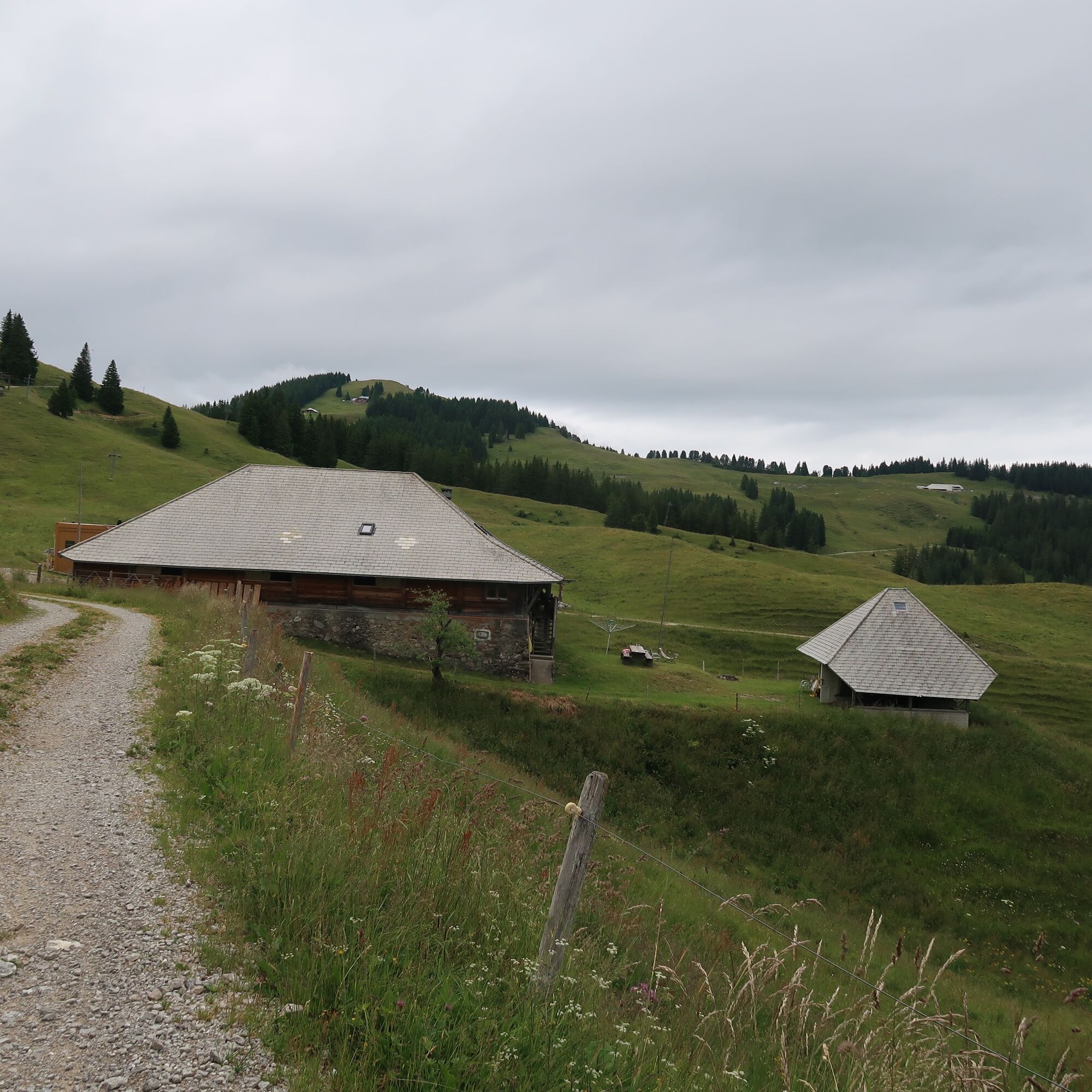
From Wasserscheide the route leads via the Oberer Türlibode car park along a wide alpine path towards Alp Obernünene. To the right, the view opens through the valley of the Kalte Sense, while to the south...
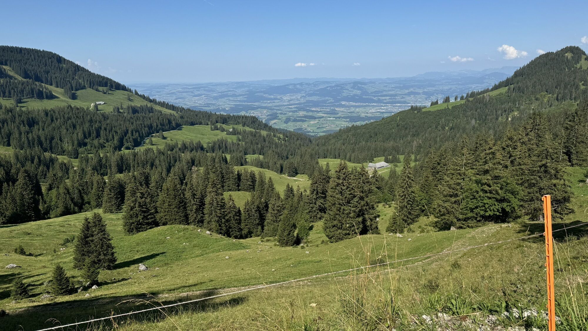
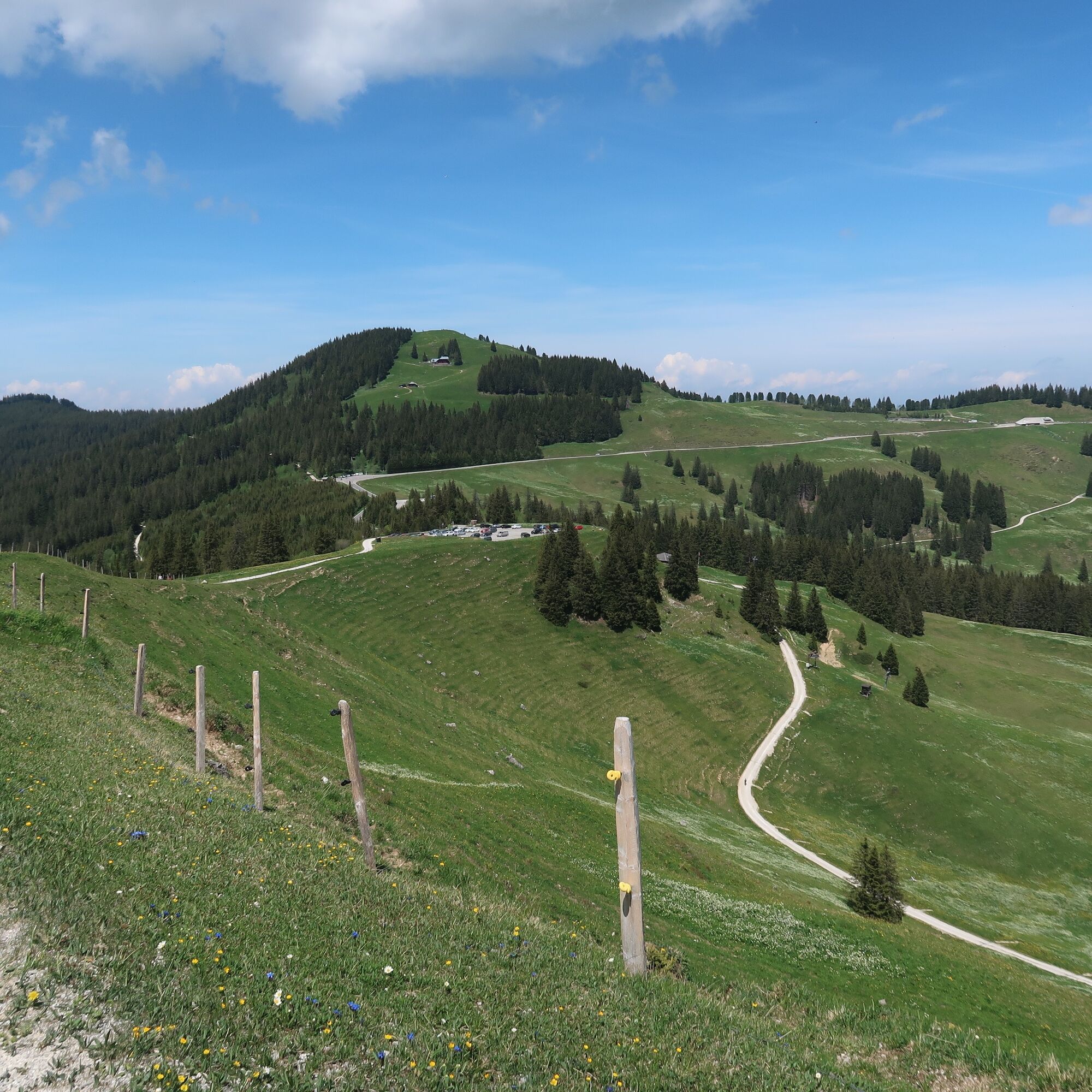
From Wasserscheide the route leads via the Oberer Türlibode car park along a wide alpine path towards Alp Obernünene. To the right, the view opens through the valley of the Kalte Sense, while to the south the striking limestone peaks of Ochsen, Bürglen and Gantrisch shape the horizon.
Along the steep slope, it continues to the bridge over the young Gürbe, which here springs from a small dammed lake. Already at Alp Obernünene an alpine hut invites you to stop for a break.
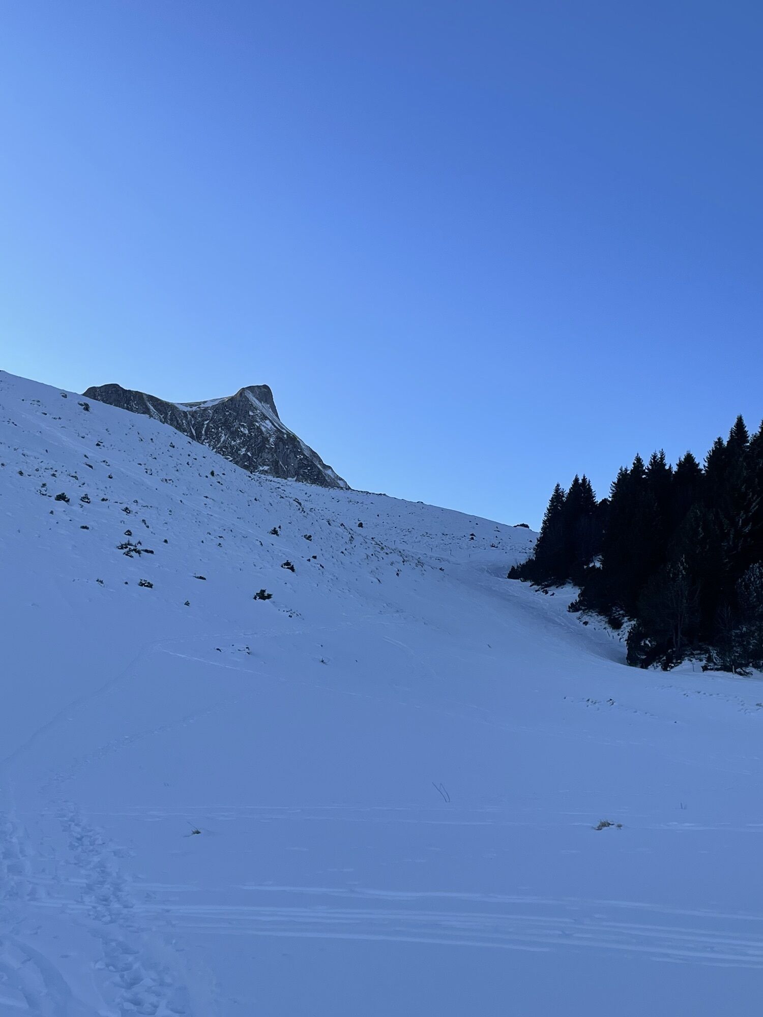
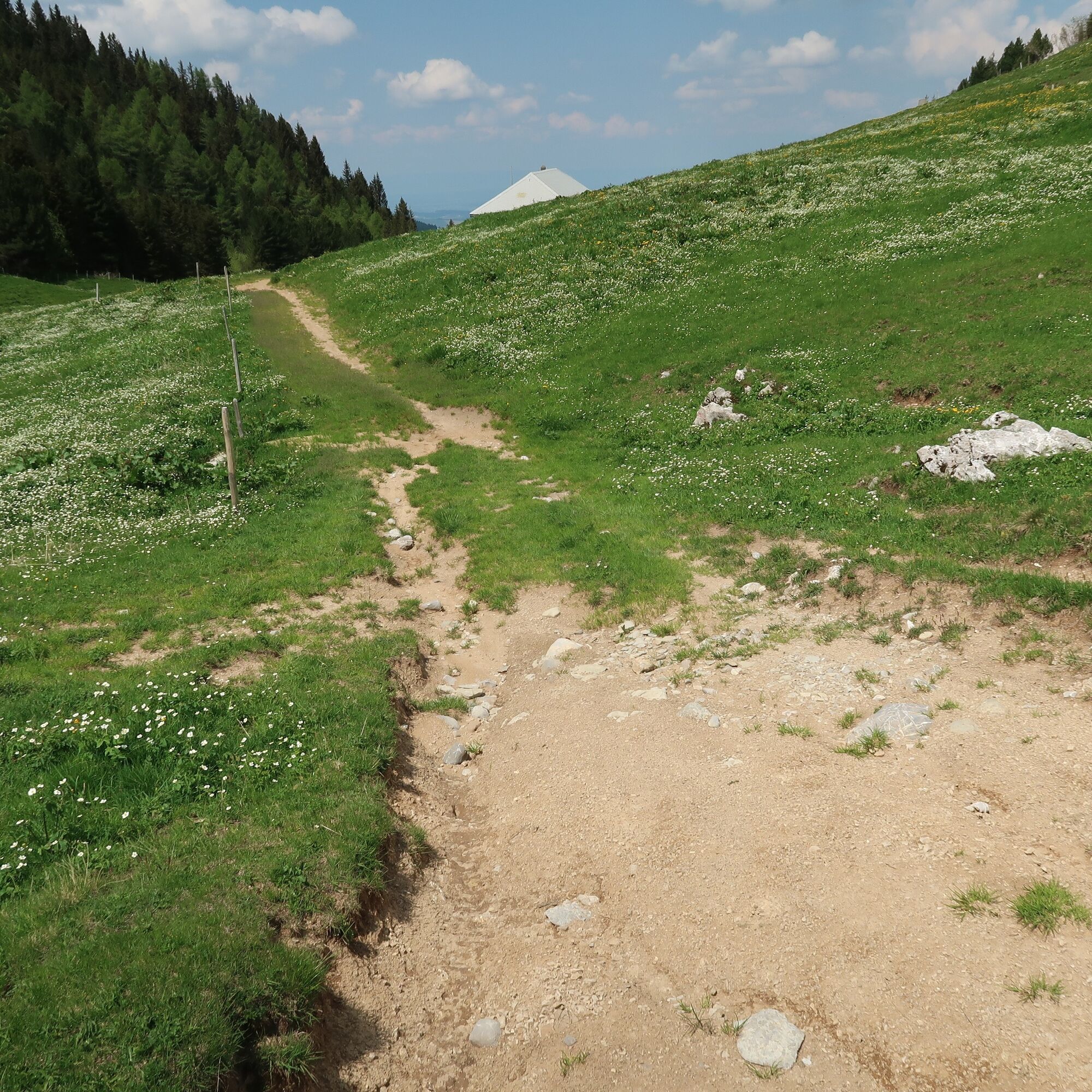
Now the path becomes narrower and somewhat rougher. Through the rustic larch forest of Gyrisberg the path leads uphill and then downhill to Alp Gustiberg. Large boulders line the way, and high above the hikers rise the imposing limestone walls of Nünenenfluh and Gustispitz. In winter, a popular ski touring route to the summit runs here.
The rough alpine path winds through dense forest down to the alpine pastures of Oberwirtneren, where at the turning point of the route a magnificent view of Lake Thun, the Bernese Oberland and the Emmental opens up. During the alpine season, a staffed hut is open here.
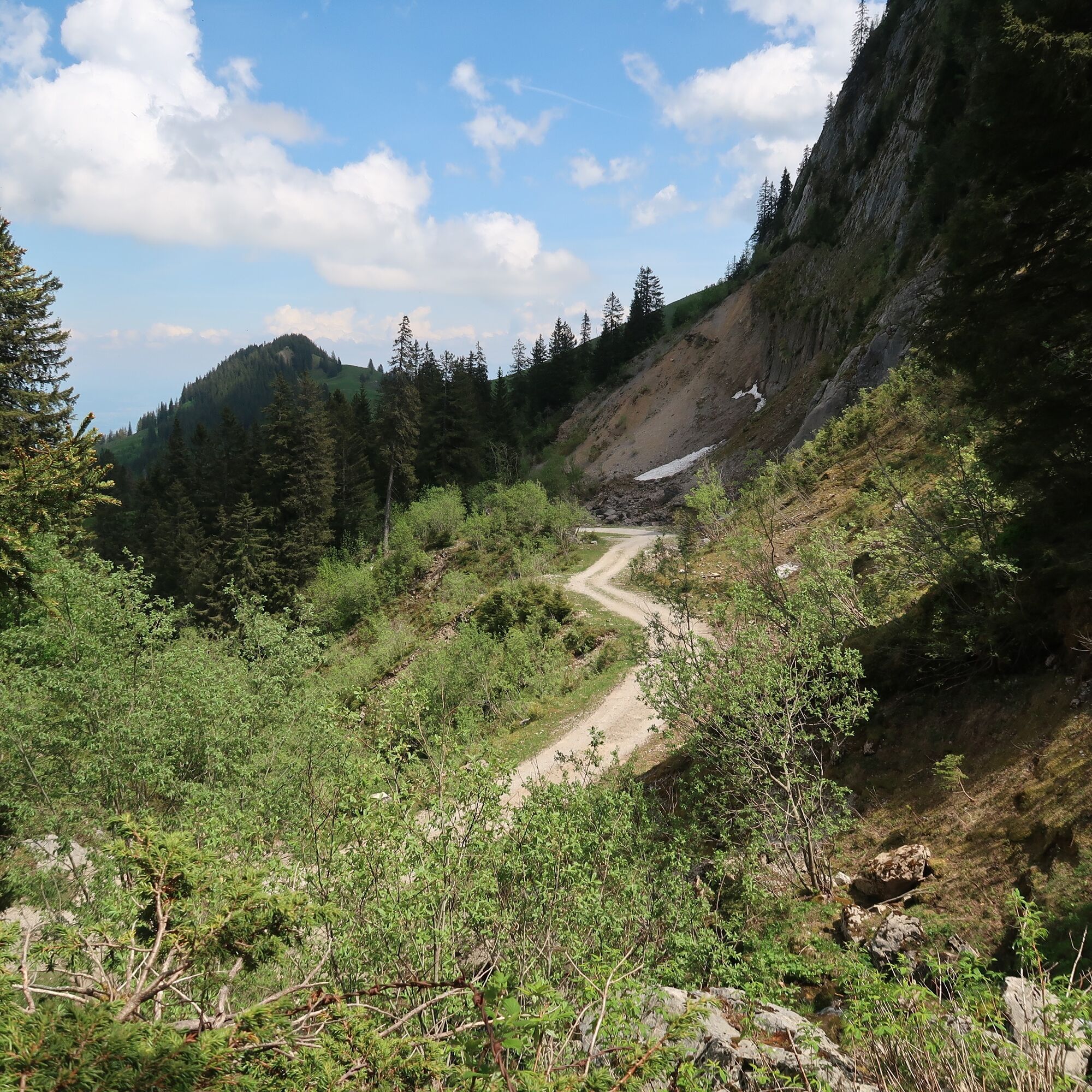
The return path leads back along a wide alpine road to Wasserscheide. After crossing a first ditch, the path runs along the Tschingelfluh to the young Gürbe. With some luck, fossilized shells can be discovered in the scree - witnesses of a sea that existed here around 100 million years ago.
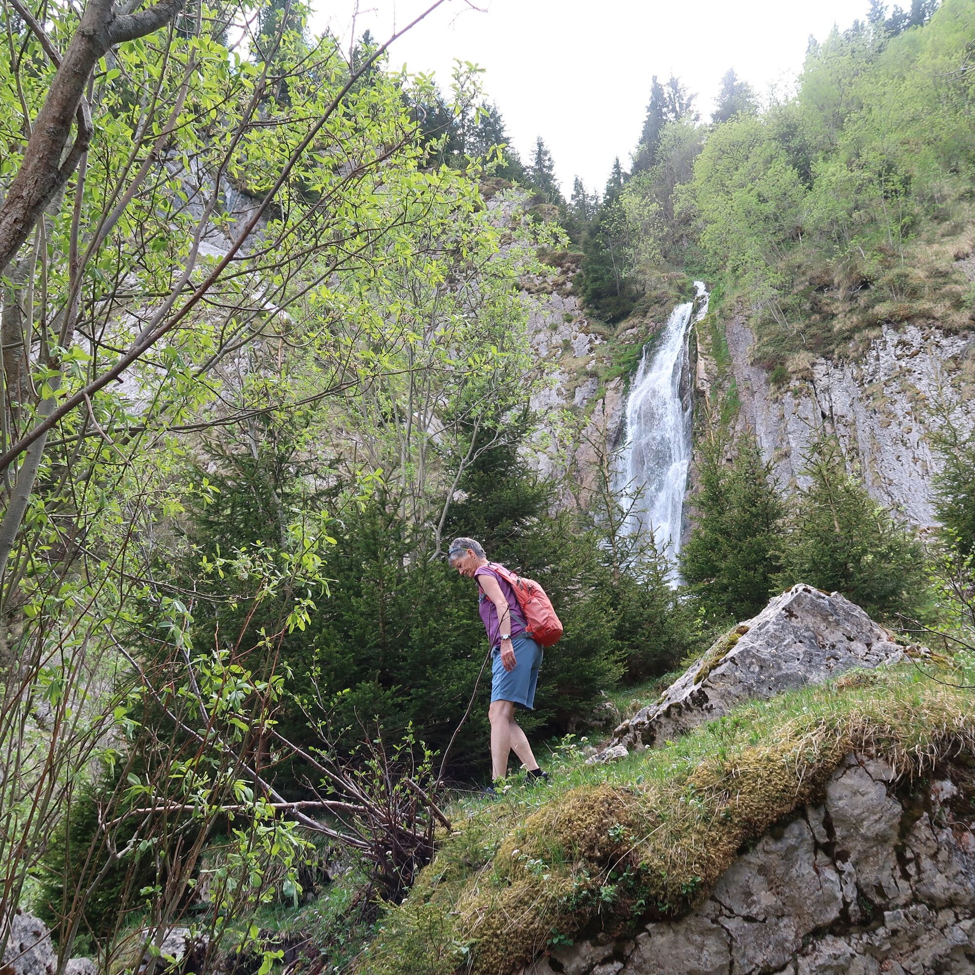
Back in the present: During the snowmelt into the summer, the Gürbe waterfall spectacularly rushes down the cliffs on the upper left. A memorial plaque on a large boulder commemorates the avalanche tragedy of 1946 at the "Bös Tritt", in which two young brothers lost their lives.
On the way back, there are two possibilities to stop for refreshments: at the Buvette Alp Chüeberg or at the ski lift tavern at Langgrätli.






Normal hiking equipment
T1
It is recommended to check the opening hours of the refreshment possibilities in advance on their websites.
The route is also suitable as a moderate circular route for mountain biking. Of course, consideration for hikers on the same route is necessary.

Webové kamery z prohlídky



Oblíbené prohlídky v okolí
- 4.6
Gantrisch Summit Hike, 2176 m elevation
středníTuristika 9.13 km - 4.5
Wasserscheide - Gantrisch Seeli
světloTuristika 9.33 km - 4.3
High-altitude hike Gurnigel - Stockhorn
středníTuristika 11.2 km - 4.8
Summit hike Ochsen, 2188 m above sea level
středníTuristika 7.94 km - 4.8
Dreiangel - Thoracker - Stockhorn - Chrindi
heavyTuristika 11.4 km - 5.0
Gantrisch via ferrata
středníVia ferrata 8.41 km Anspruchsvolle Wanderung im Simmental
středníTuristika 19.0 km- 4.5
Vreneli Trail Guggisberg
středníTematická stezka 5.35 km - 4.5
Kaisereggpass
středníTuristika 17.9 km Von Gasebode auf den Stand (Diemtigtal)
světloLyžařská trasa 9 km
Pěší turistika a stopování


Nenechte si ujít nabídky a inspiraci pro vaši příští dovolenou
Vaše e-mailová adresa byl přidán do poštovního seznamu.





