







Selibühl Panoramatrail (SchweizMobil 113)
The classic among winter routes in the forested hills of Gurnigel, high above the Central Plateau, starts opposite the Stierenhütte. First, you ascend beside the snow-covered parking platform onto the...
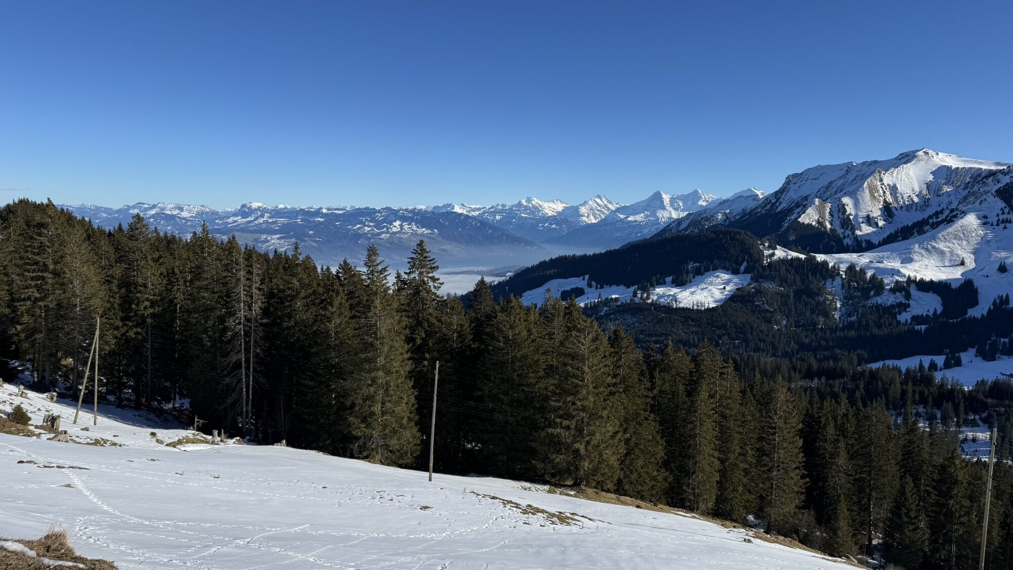
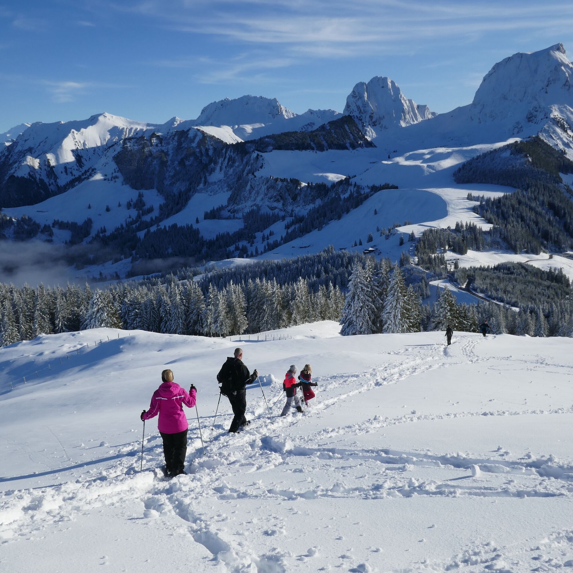
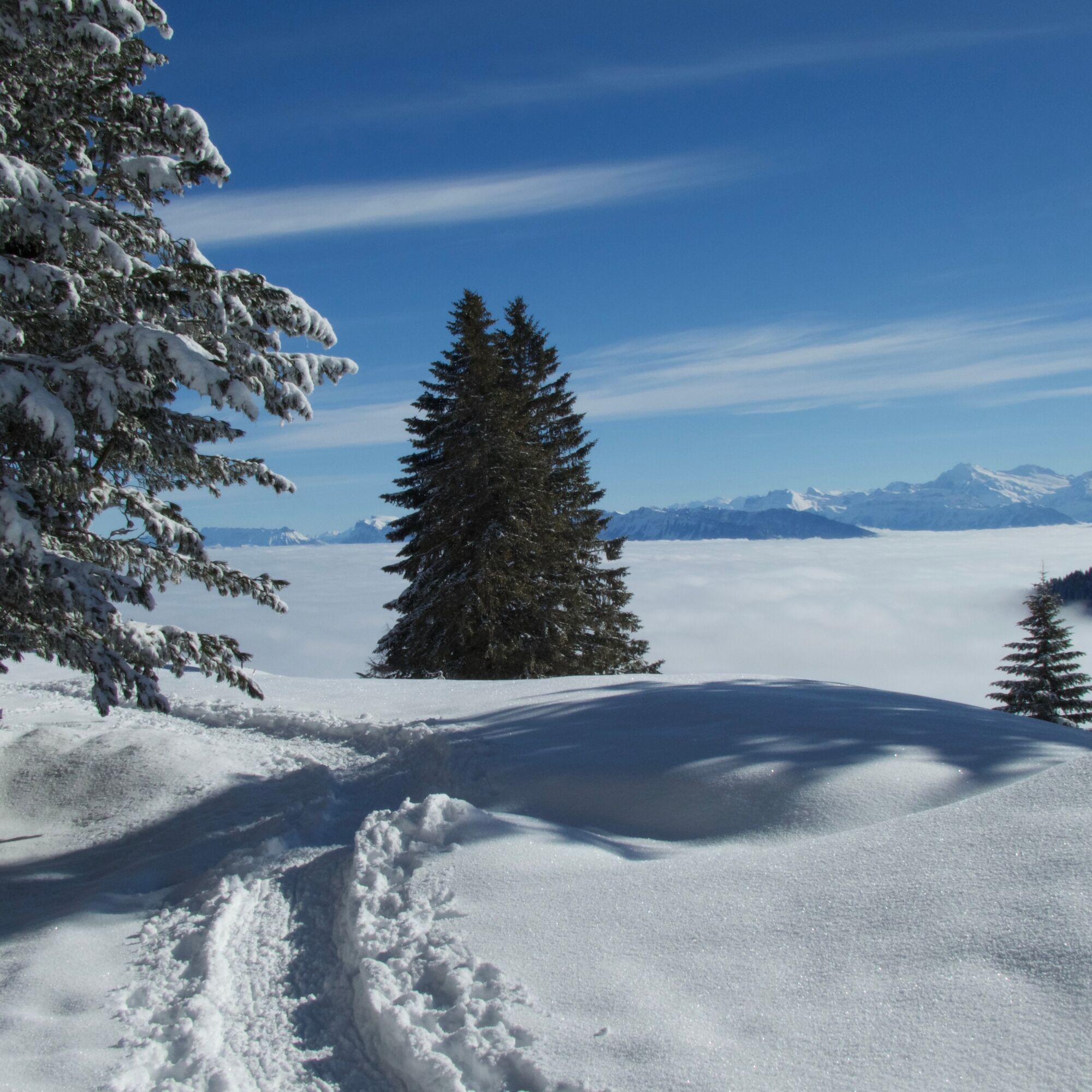
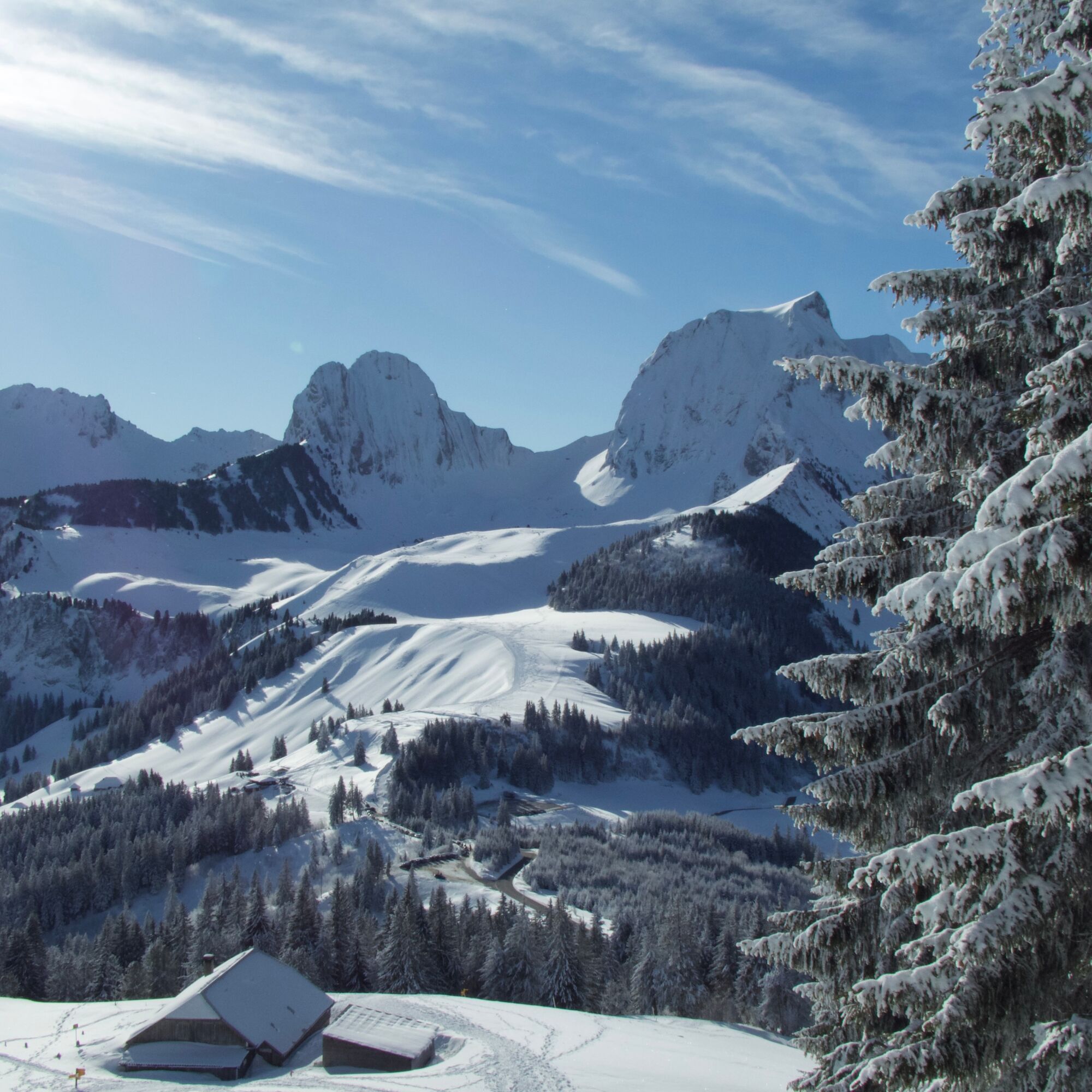
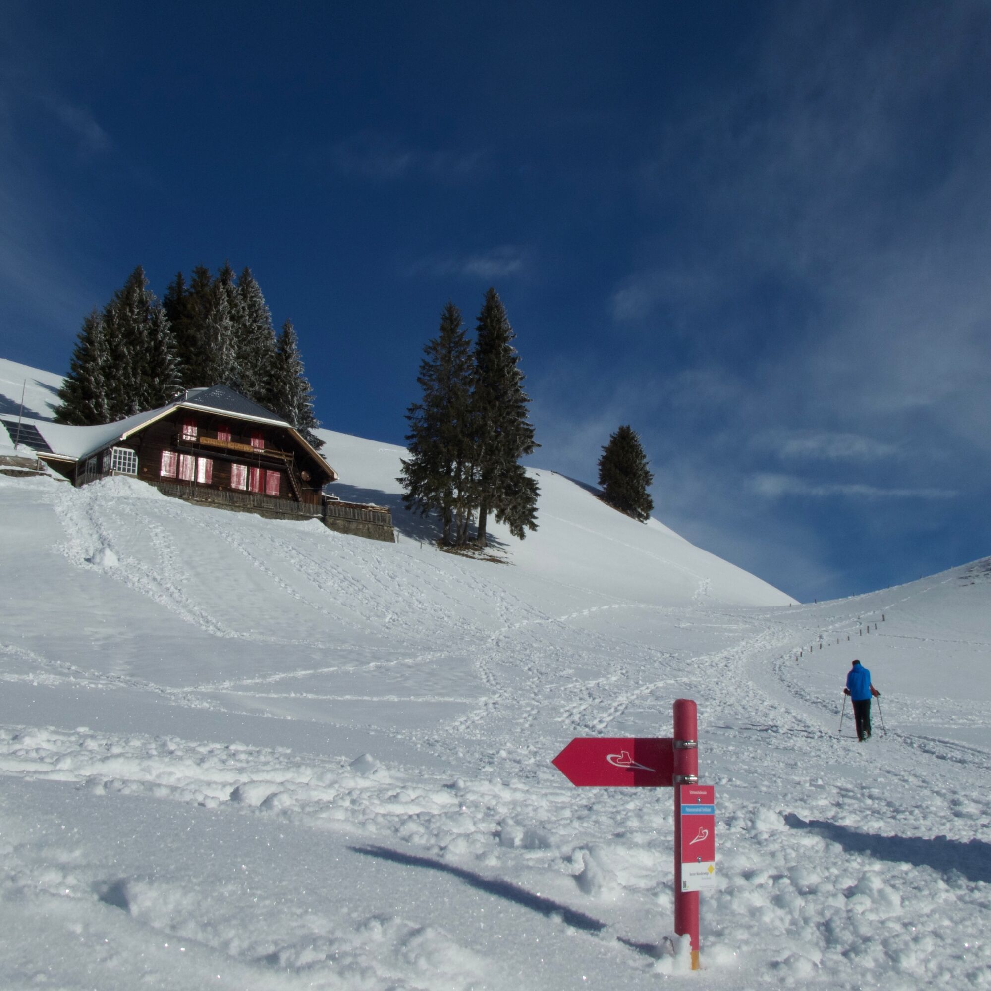
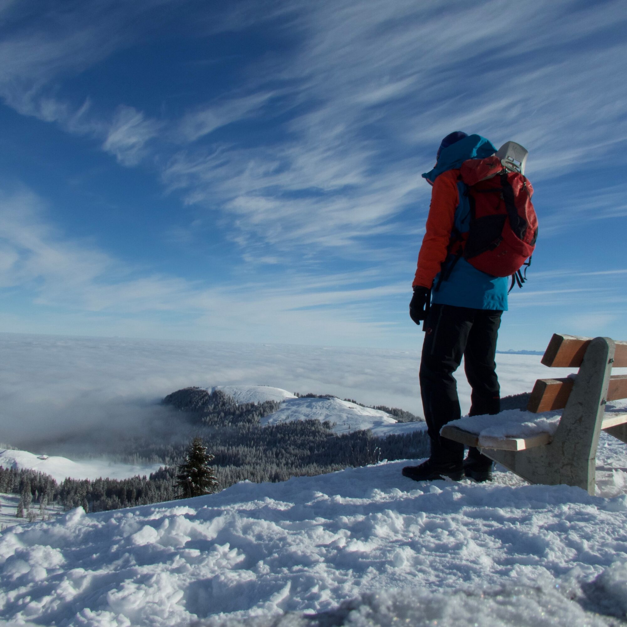
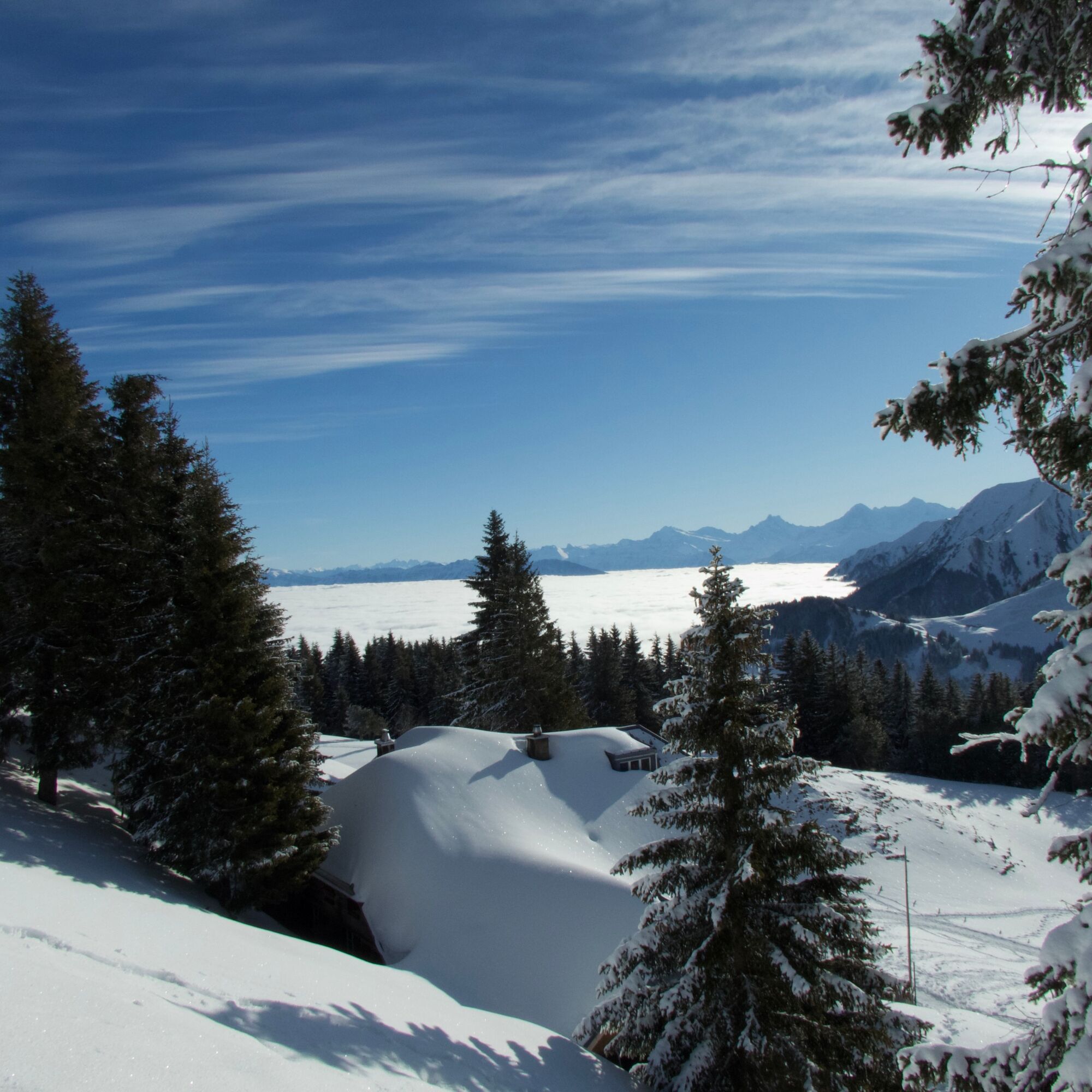
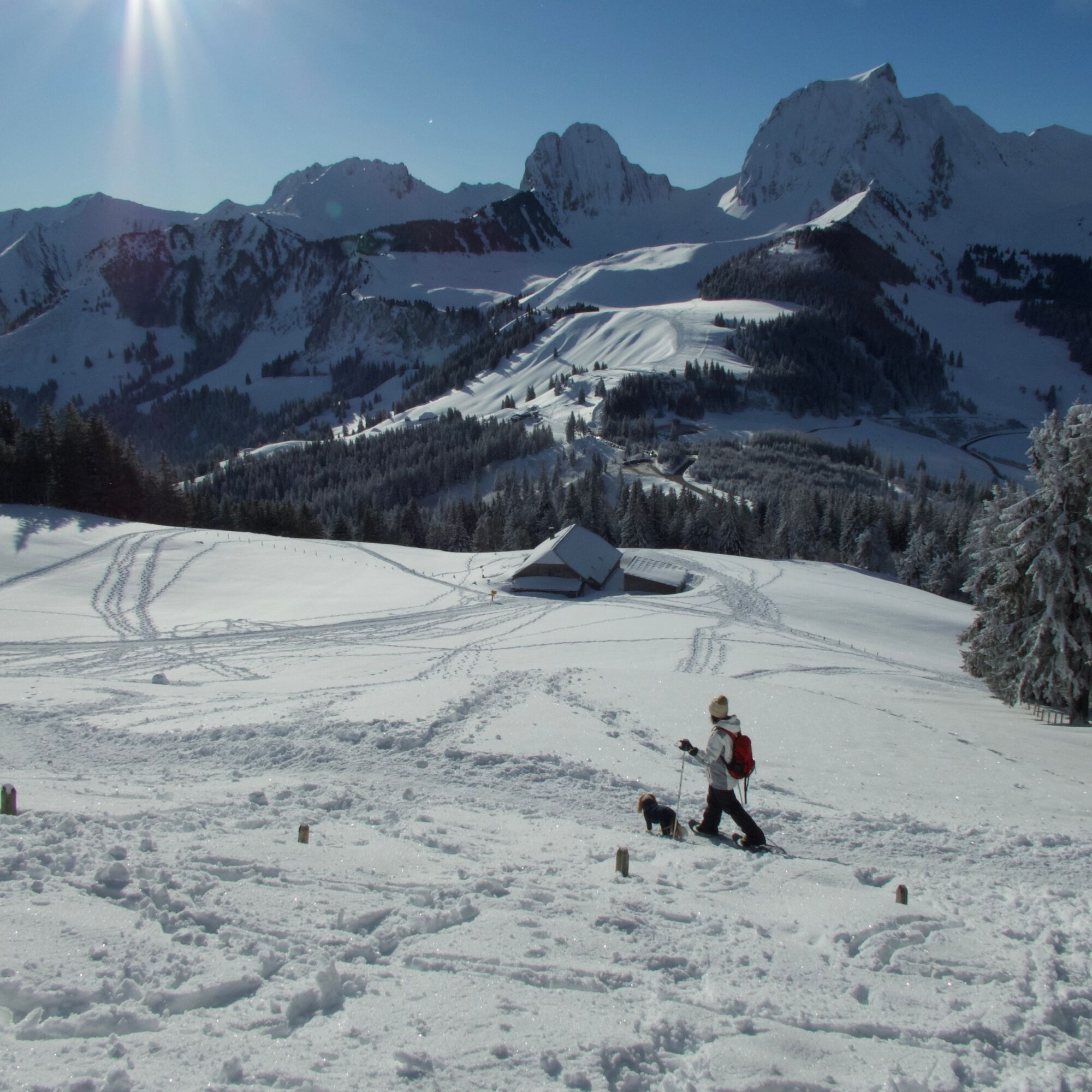
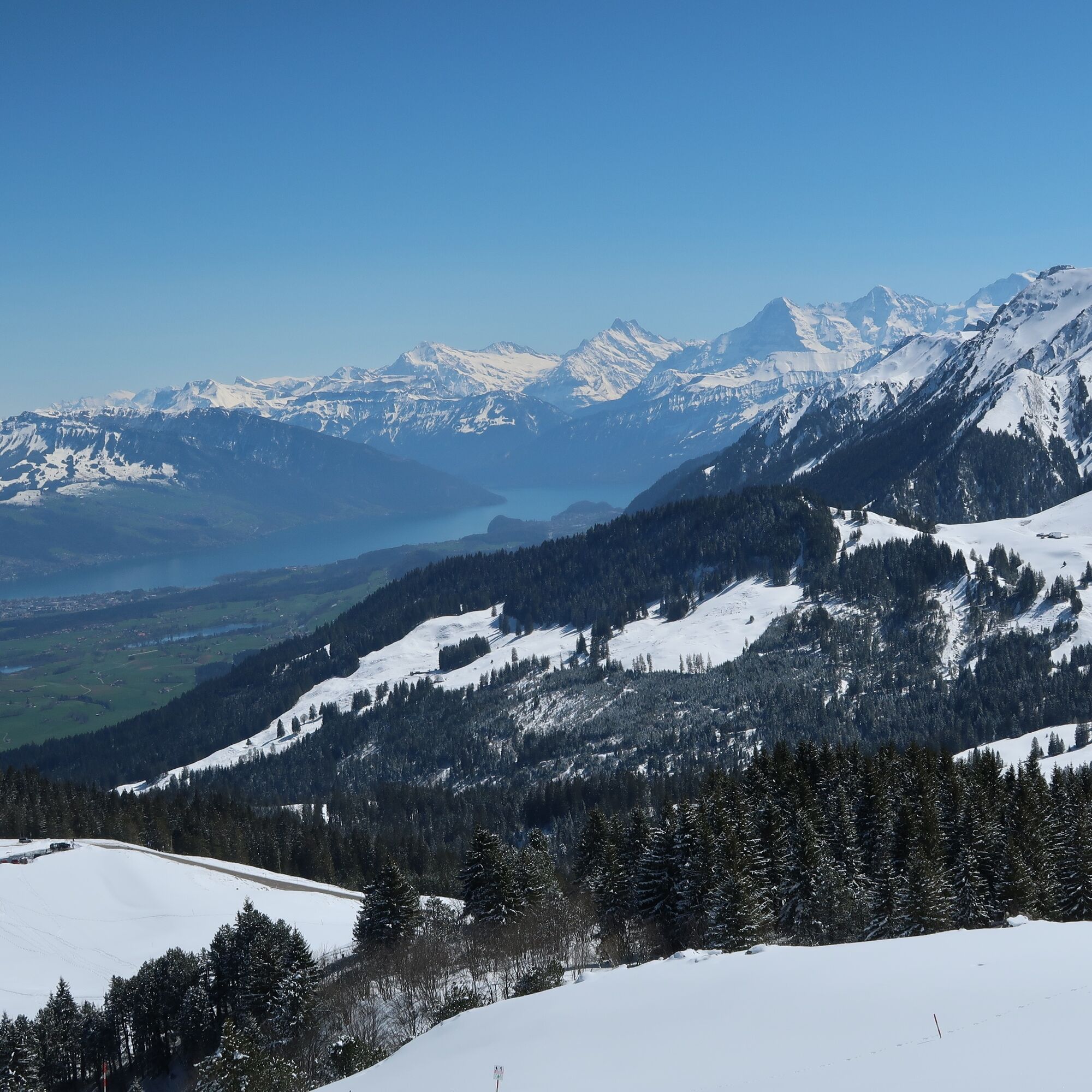
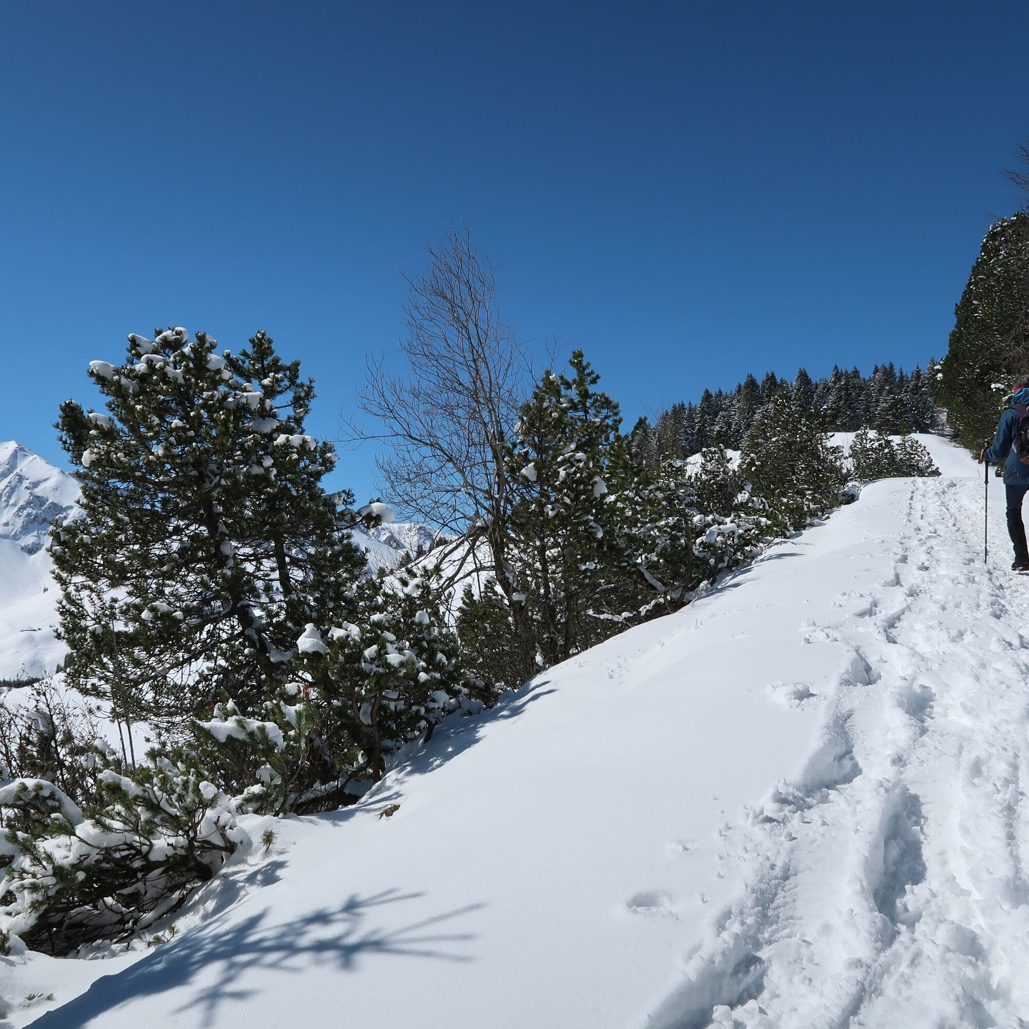
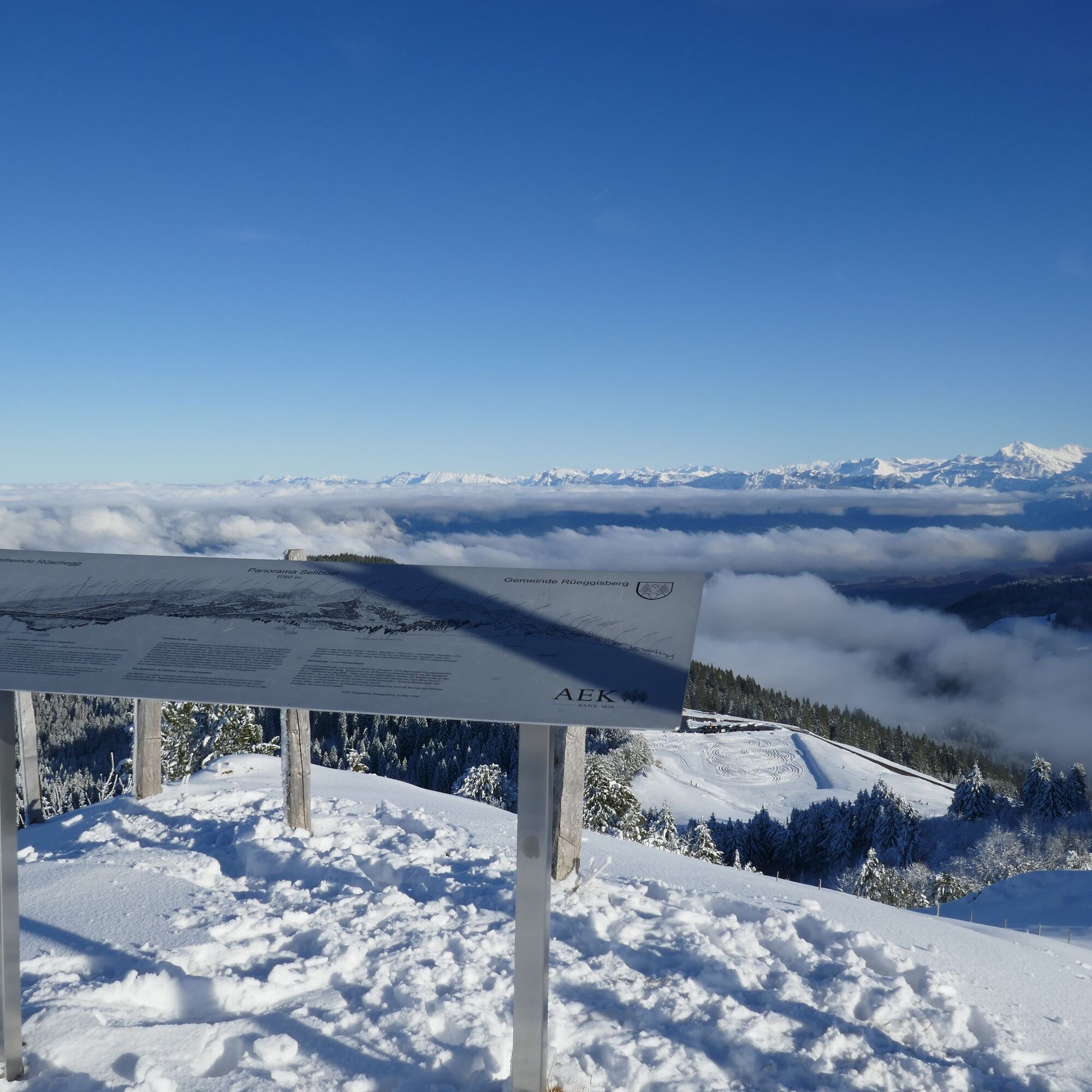
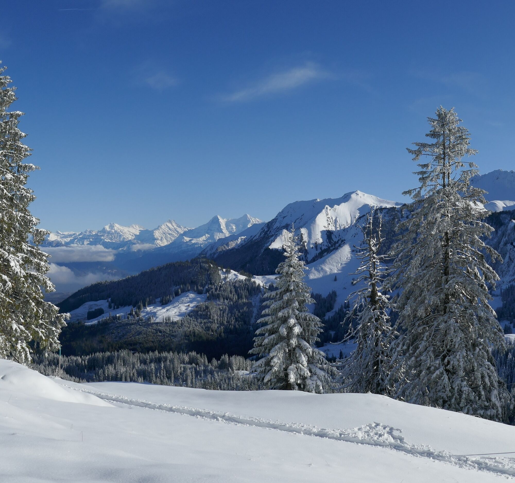
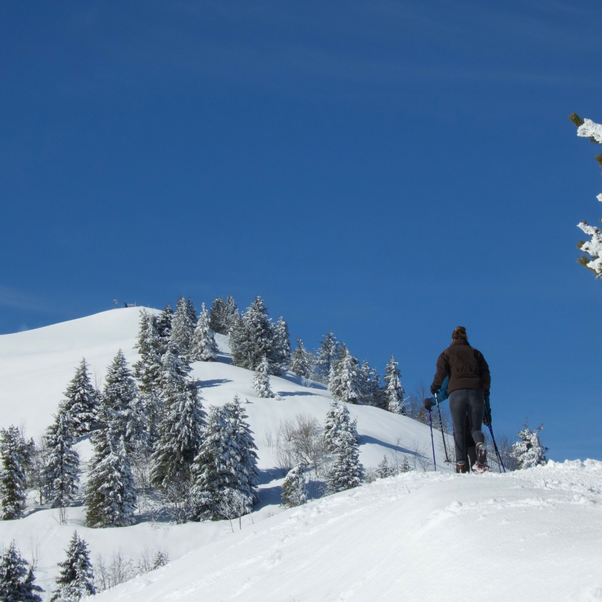
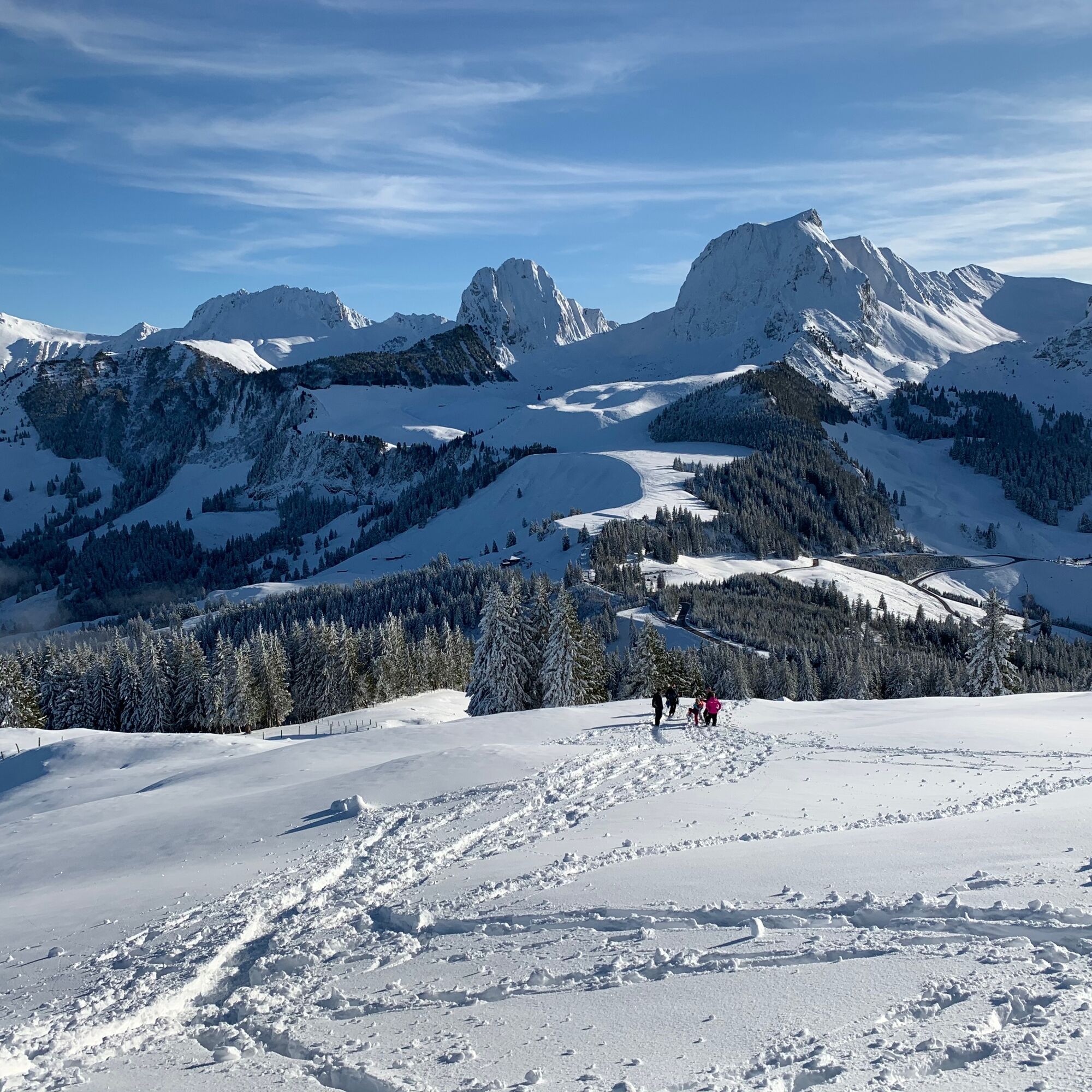
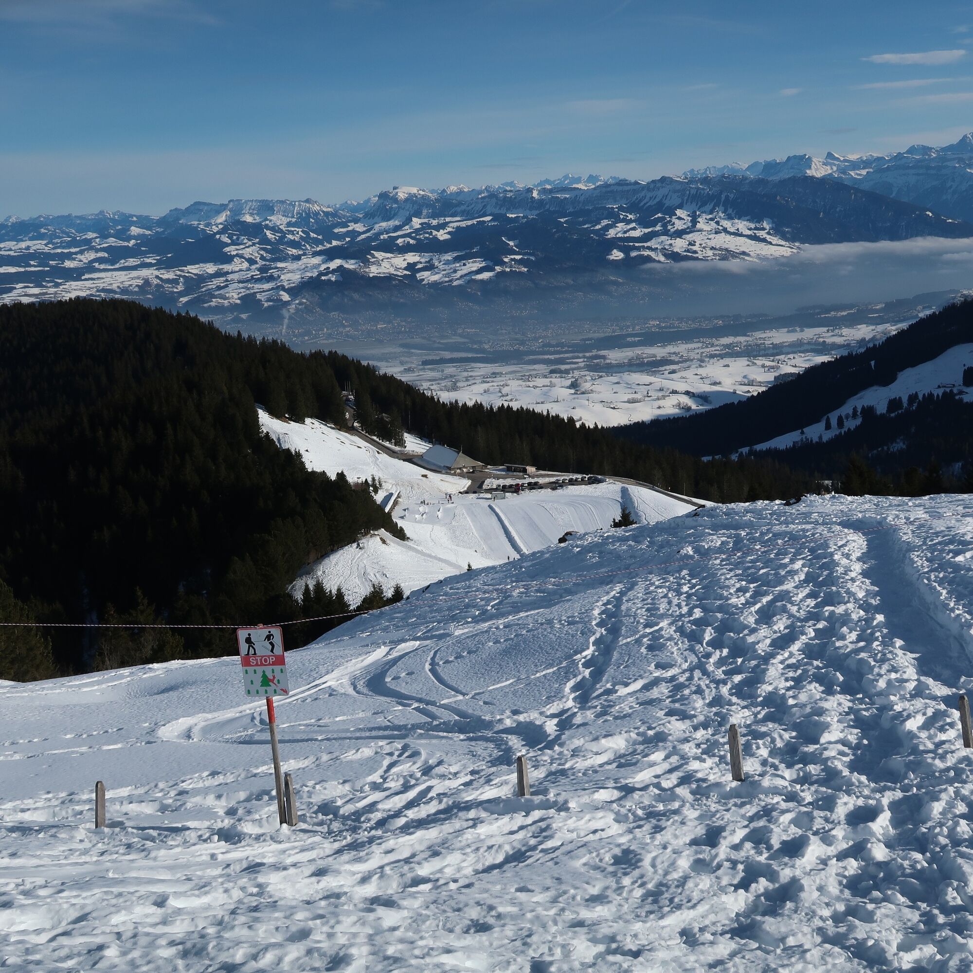
The classic among winter routes in the forested hills of Gurnigel, high above the Central Plateau, starts opposite the Stierenhütte. First, you ascend beside the snow-covered parking platform onto the ridge path. For the first time the panorama of the striking Gantrisch mountains presents itself. Deeply snow-covered fir trees line the path along the ridge, which shortly bends right into the forest. The path leads slightly downhill through the steep, shady flank of the Selibühl. Dense forest and Swiss stone pine stands characterize the landscape. The trail passes through a wildlife quiet zone. Hikers are therefore asked to follow the markings. Soon the trail climbs and reaches the saddle at the Gauchit. From time to time, glimpses open to the right toward the Central Plateau and Jura between the fir trees. The path now leads, maintaining elevation, around the south side of the Selibühl. To our right, the peaks of the Gantrisch mountains from Ochse to Nünenen present themselves in a row. After almost circling Selibühl, the route leads from Alp Selibühl up the south slope to the summit. This detour is definitely worth it. At the top of the Selibühl summit, benches await and a magnificent 360° panoramic view of the snow-covered Jura and the snowy Alpine chain. On clear days, Lake Thun as well as Eiger, Mönch, and Jungfrau are visible. The Nünenenfluh and Gantrisch also create an impressive backdrop. To the north, in good weather, the view extends to the Chasseral, the highest elevation in the Bernese Jura.
The trail descends along the same path to Alp Selibühl and finally back to the starting path.
The trail is reachable from the car parks Stierenhütte and Wasserscheide as well as from Berghaus Gurnigel. In case of avalanche danger at lower elevations, caution is advised on the north slopes of the Selibühl. Often after many passages and a long time without snowfall, the route can also be used as a winter hiking path. The entire snowshoe route runs over the network of official summer hiking trails.


Ano
Equipment Rental
Gurnigel Berghaus, Gurnigel (self-service at the cross-country ski rental) Schwarzenbühl Kurhaus (self-service at the cross-country ski rental) Gantrisch Bike & Sport, RiggisbergFrom Berghaus Gurnigel Pt. 1594 m westwards along the forest edge, traversing the Selibühl north slope (avalanche danger*) to Pt 1657. From there on the hiking trail to the hut at point 1670. A detour leads past the Selibühlhaus to the lookout point Selibühl at 1750 m (attention wild protection**). Back and eastwards to the starting point. Please use the official hiking trail to avoid disturbing the black grouse**
*If the avalanche danger on www.slf.ch for this area is "considerable" to "very high", do not proceed without knowledge, equipment, and/or mountain guide.
**Always use the official hiking trail on the south side to avoid disturbing the black grouse. The Engländerweg is closed.
Gurnigel, Berghaus SBB Timetable
Car park Stierenhütte and Wasserscheide
Arrival
Získejte přehled Vždy živě na místě s více než 9 500 webkamerami. bergfex Jako uživatel Pro si nyní můžete zobrazit odpovídající webové kamery pro mnoho prohlídek v aplikaci prohlídky z. Můžete si tak přímo prohlédnout aktuální podmínky. Oblíbené prohlídky v okolí
- 4.6
Gantrisch Summit Hike, 2176 m elevation
středníTuristika 9.13 km - 4.8
Wasserscheide - Gantrisch Seeli
světloTuristika 9.33 km - 4.3
High-altitude hike Gurnigel - Stockhorn
středníTuristika 11.2 km - 4.7
Summit hike Ochsen, 2188 m above sea level
středníTuristika 7.94 km - 5.0
Schwarzsee Circular Route (SchweizMobil 787)
světloZimní turistika 4.10 km - 4.7
Schwarzsee circular route Häxewääg
světloTematická stezka 4.10 km - 5.0
Oberstockenalp
světloTuristika 6.26 km - 4.0
Circular hike Gürbequelle
středníTuristika 8.24 km - 4.5
Vreneli Trail Guggisberg
středníTematická stezka 5.35 km Anspruchsvolle Wanderung im Simmental
středníTuristika 19.0 km
Pěší turistika a stopování


Nenechte si ujít nabídky a inspiraci pro vaši příští dovolenou
Vaše e-mailová adresa byl přidán do poštovního seznamu.





