







Hike the Valley 2026: Gold Trail

Úroveň obtížnosti: T2
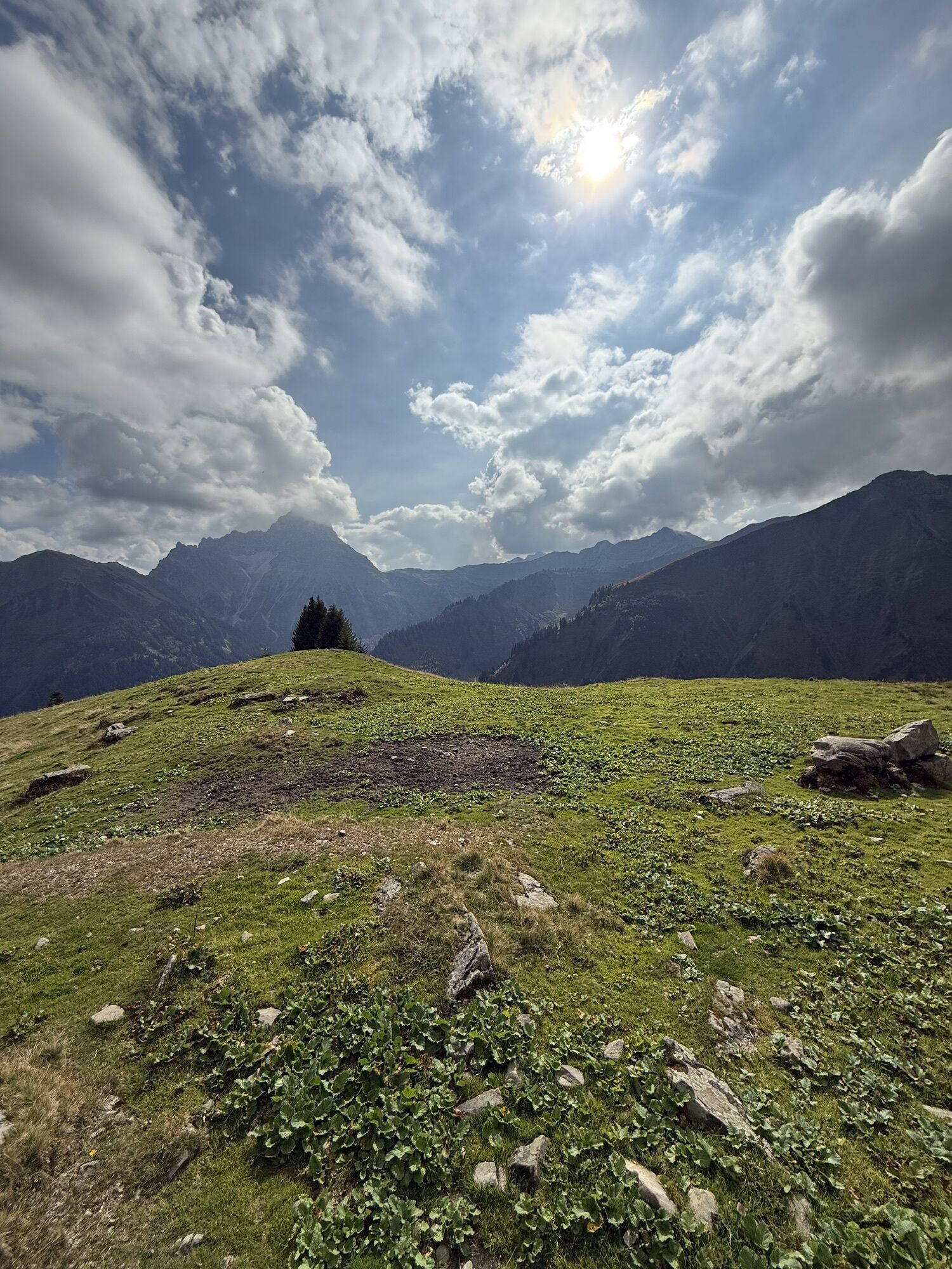
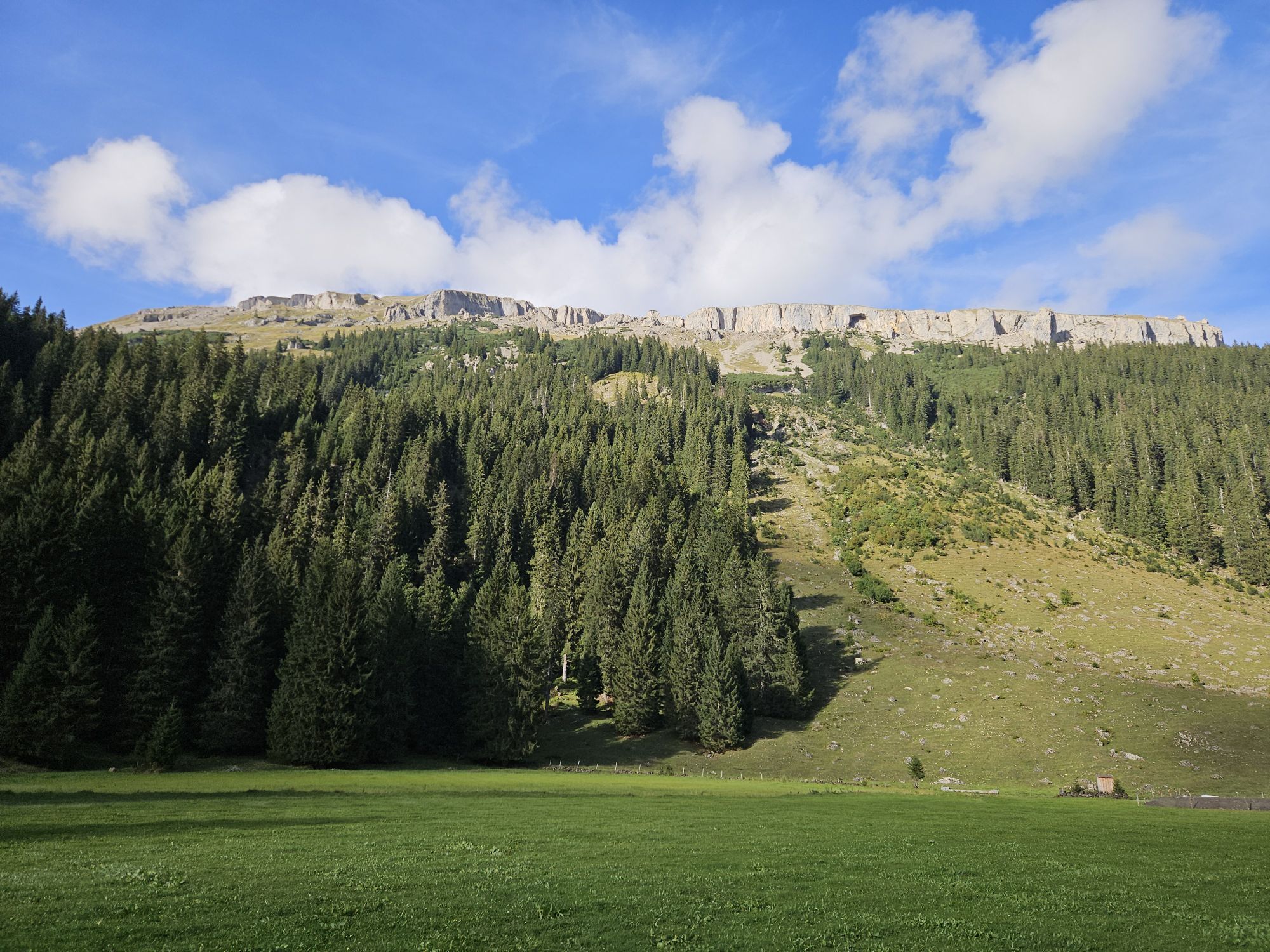
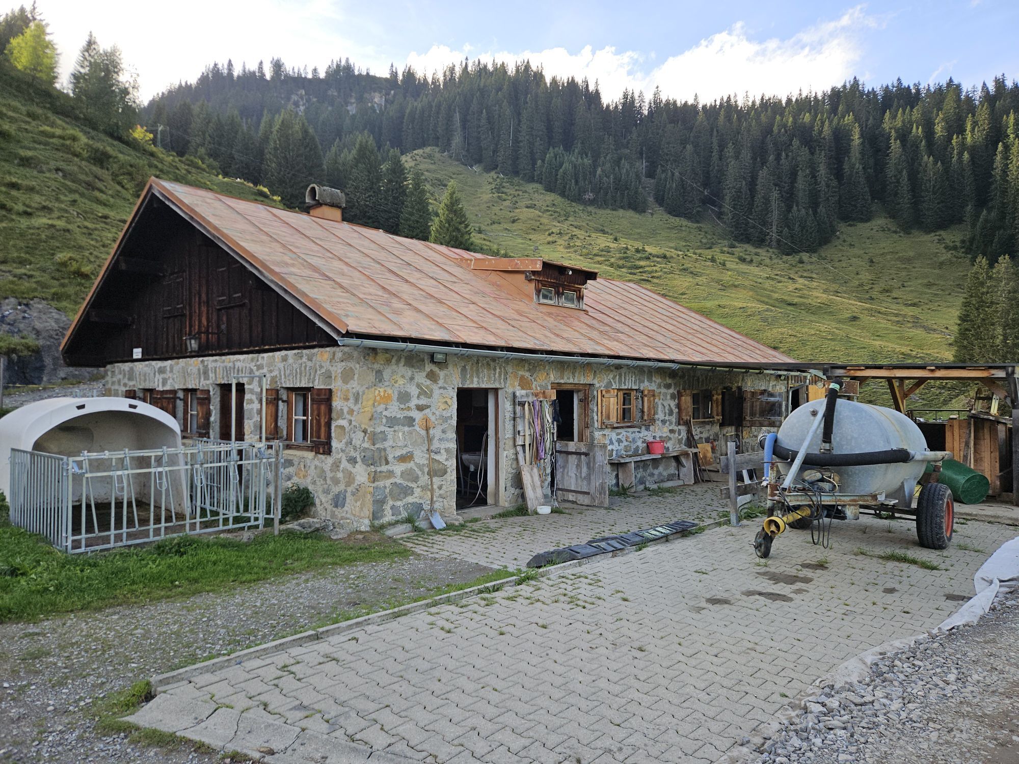
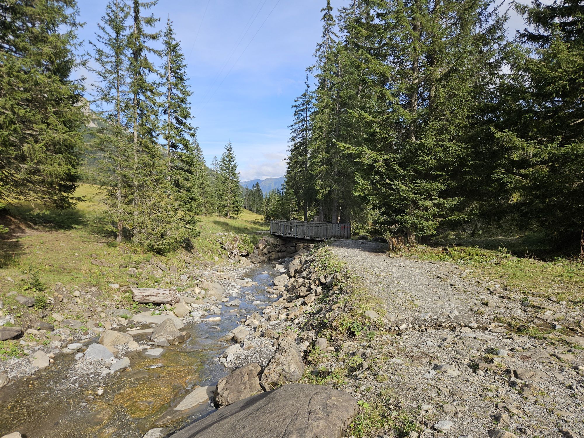
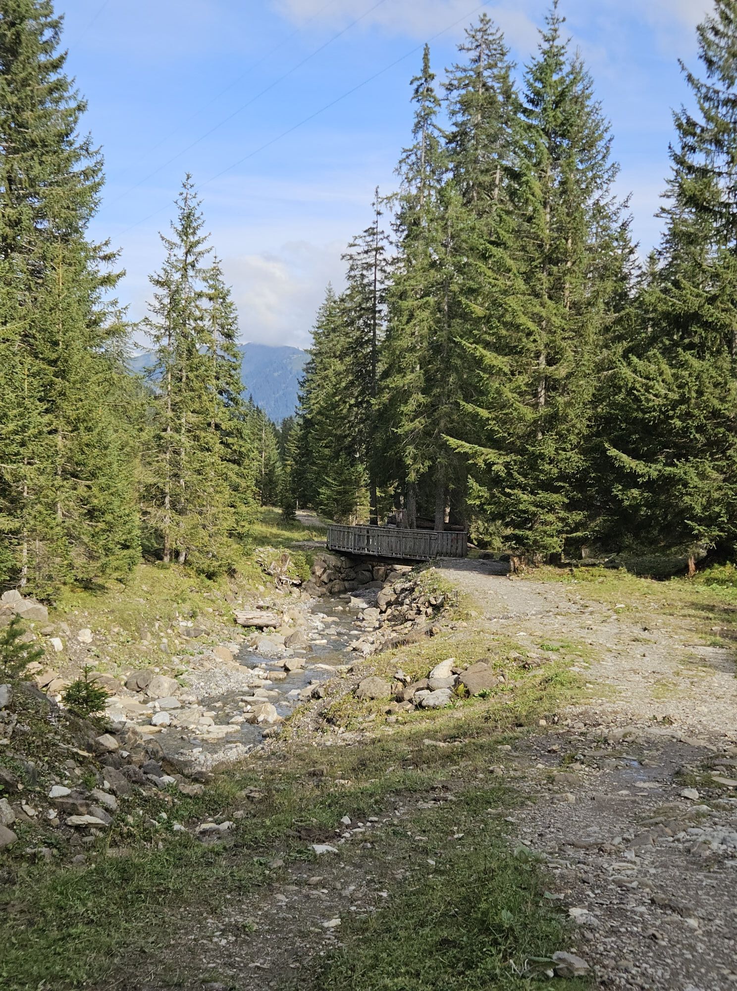
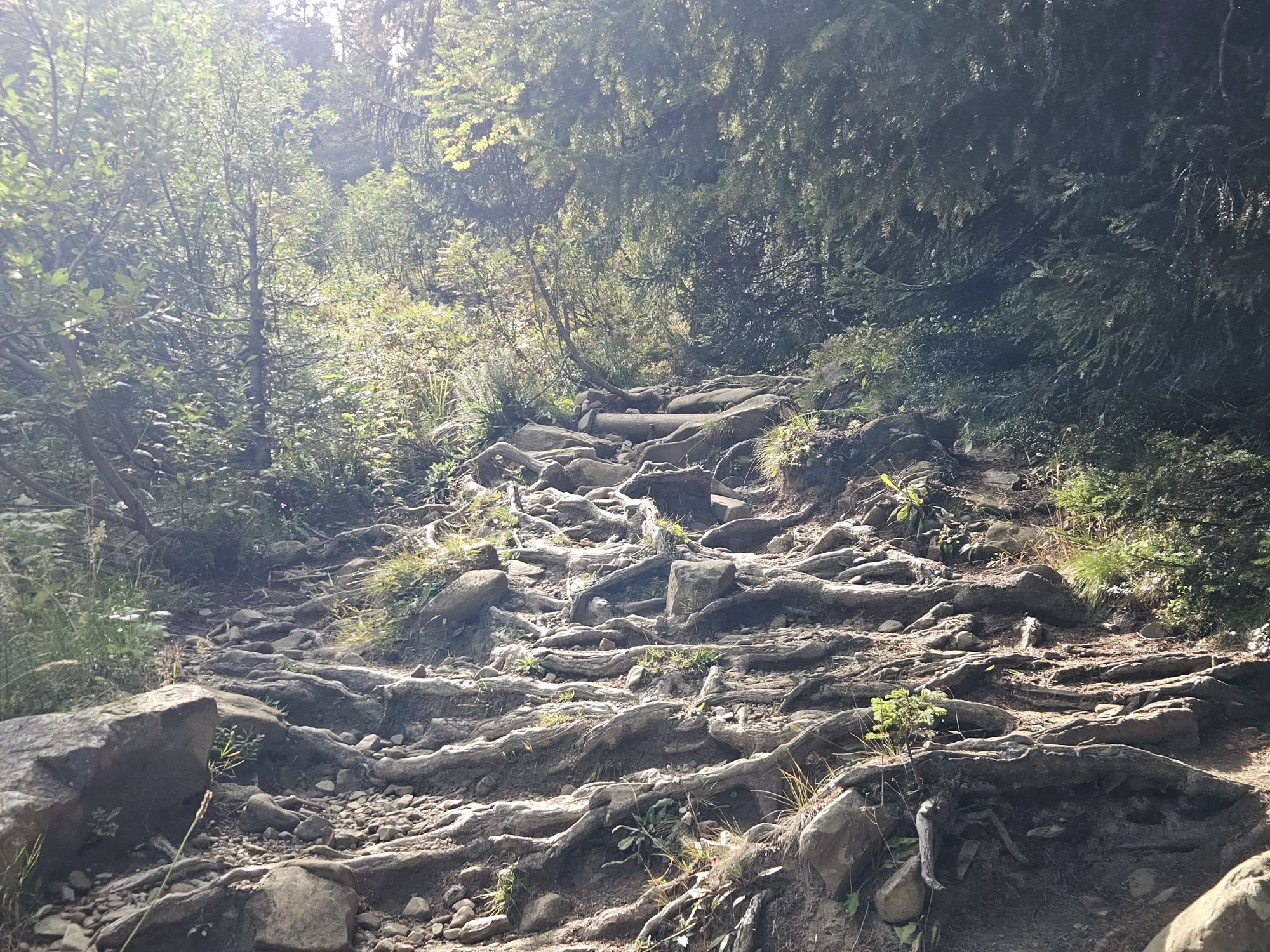
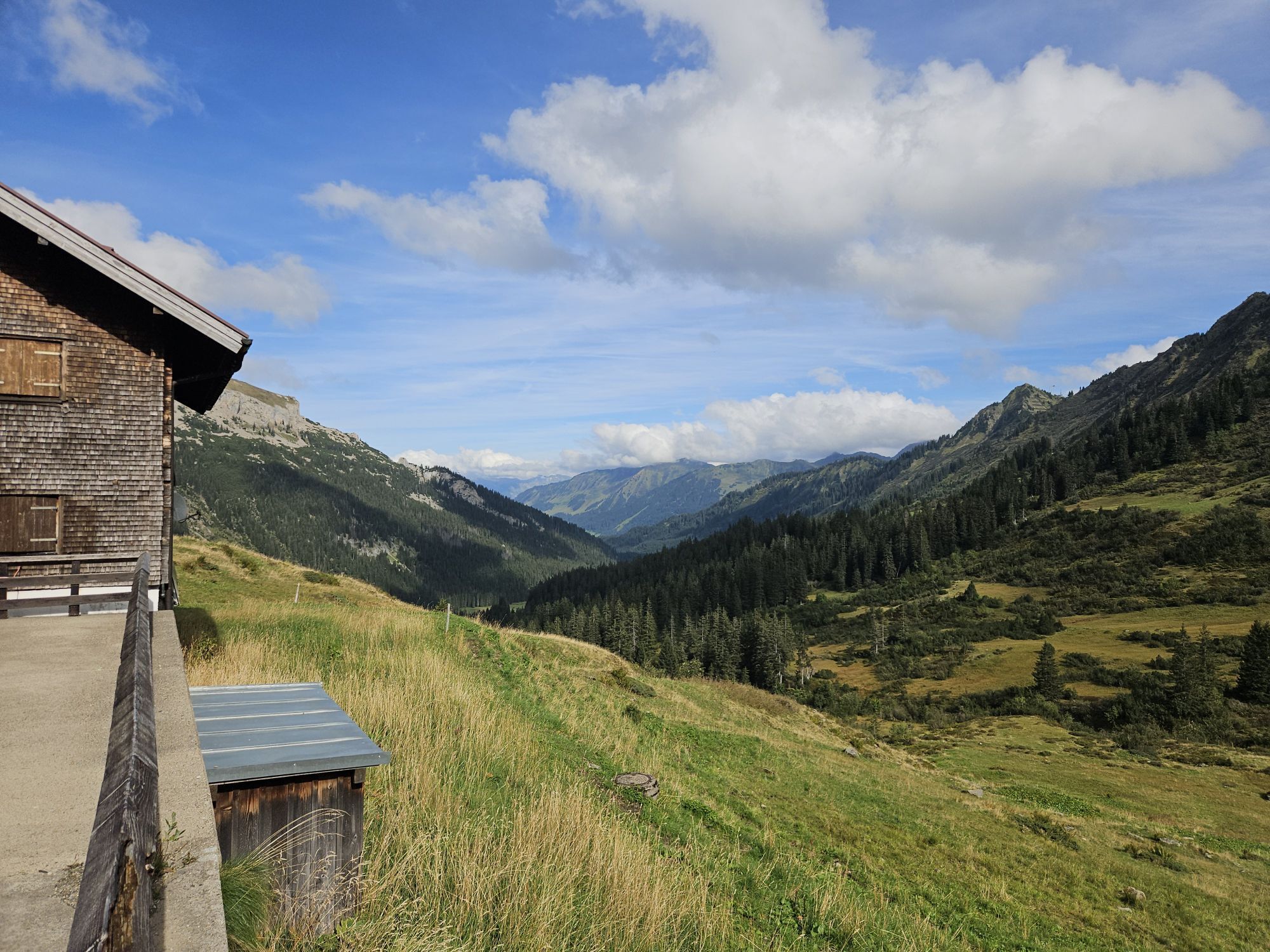
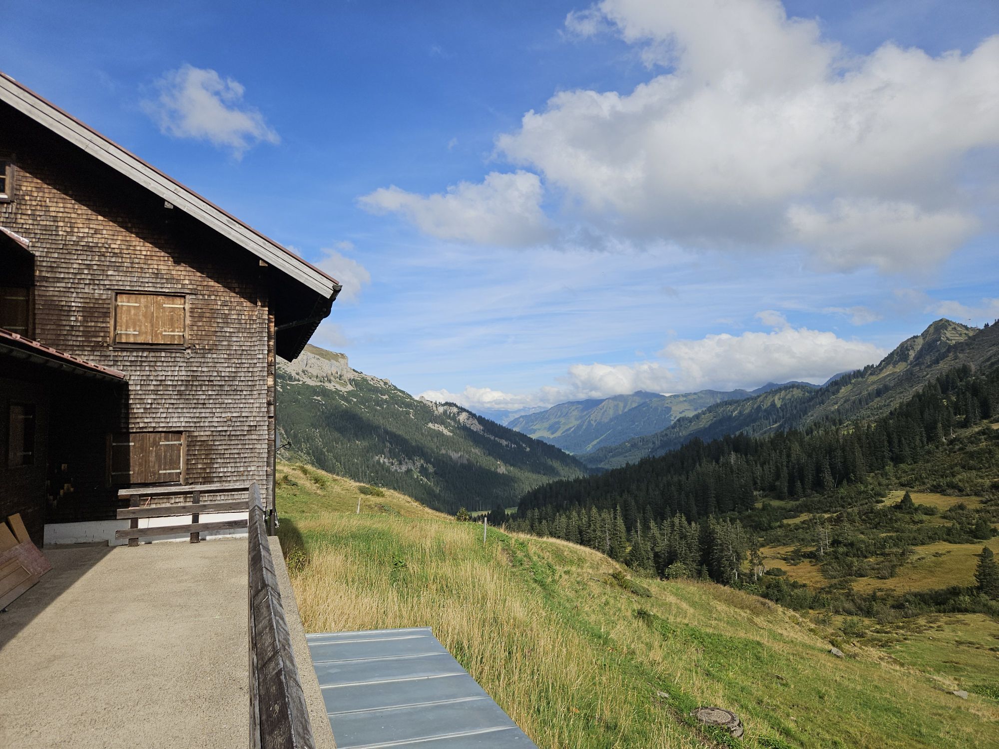
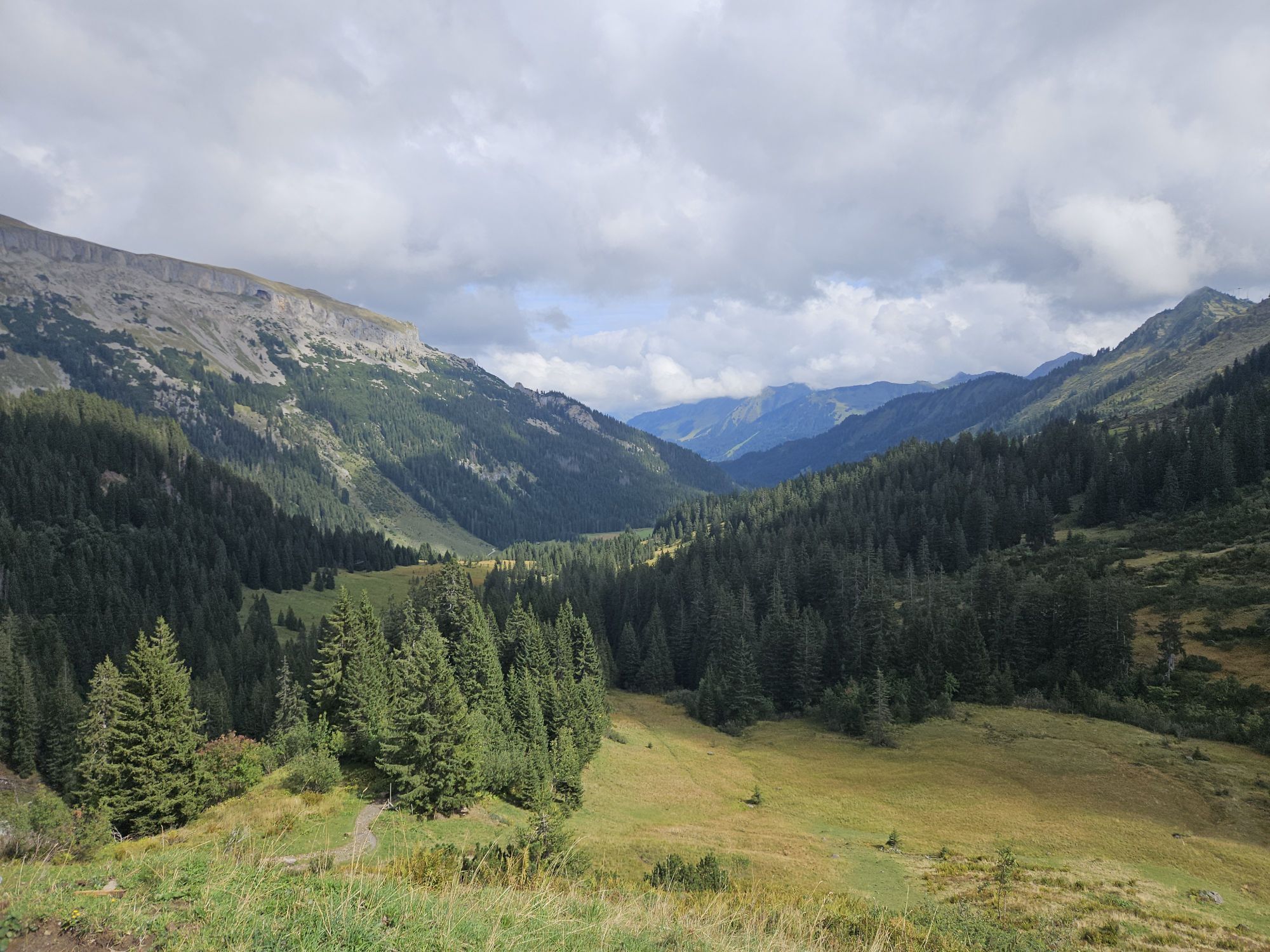
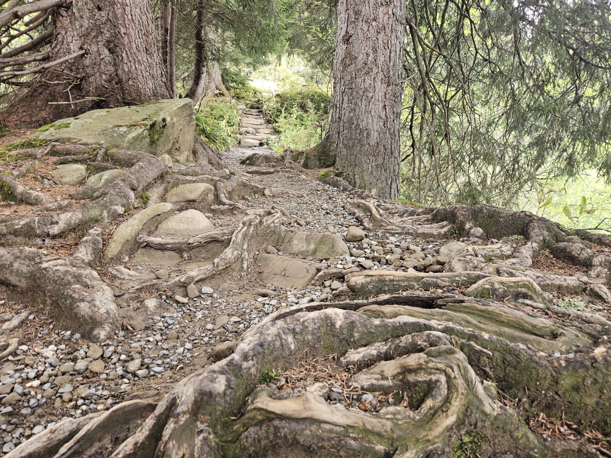
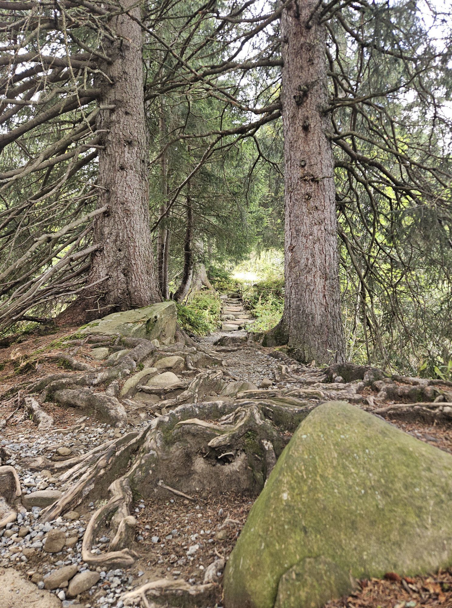
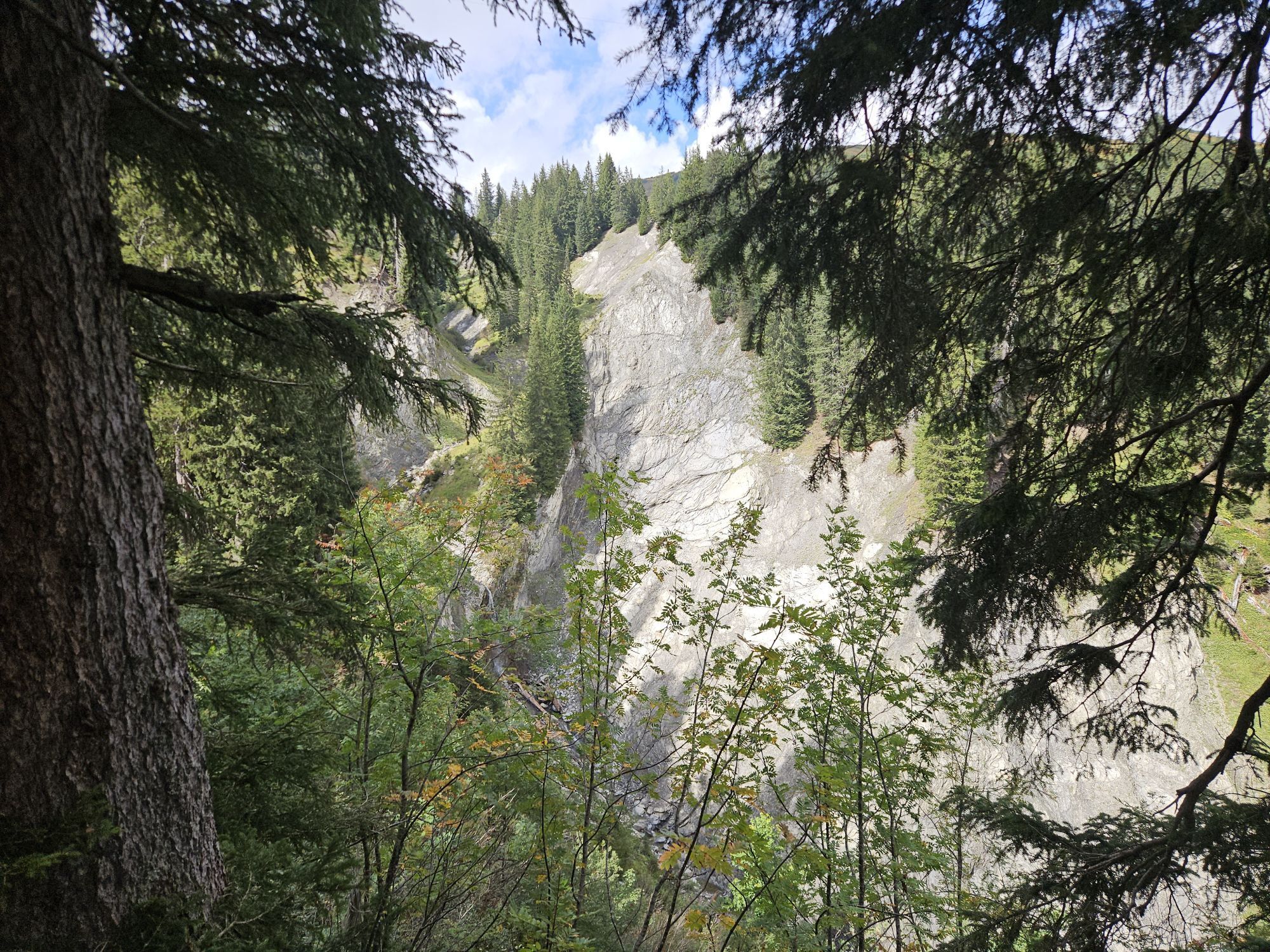
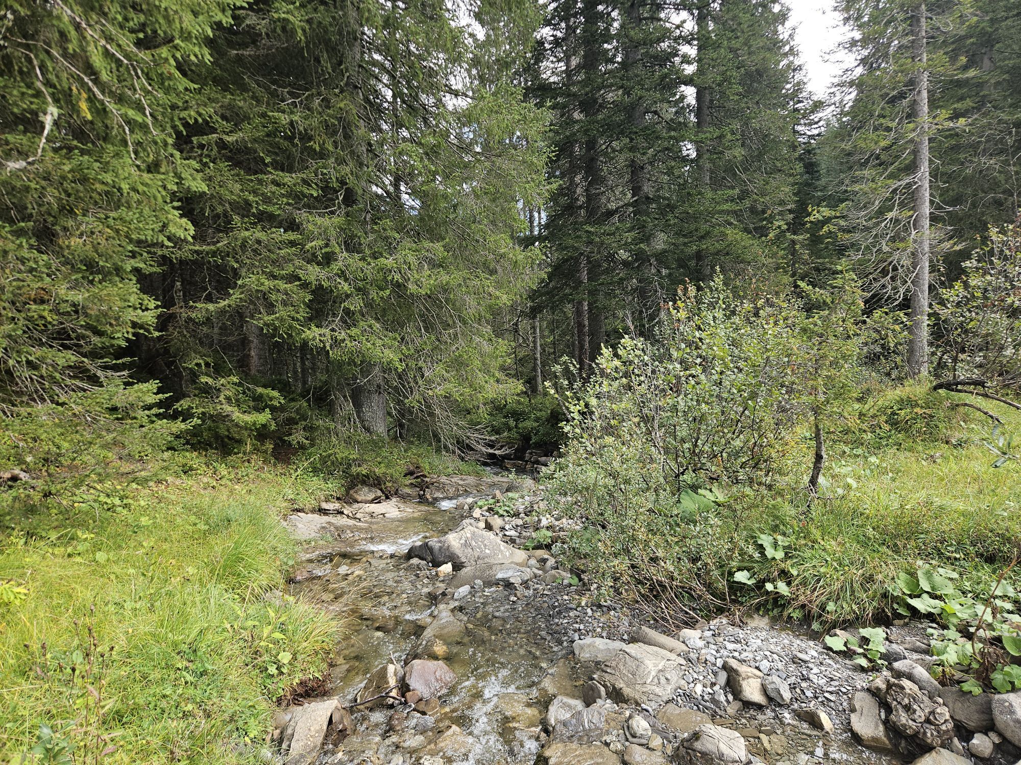
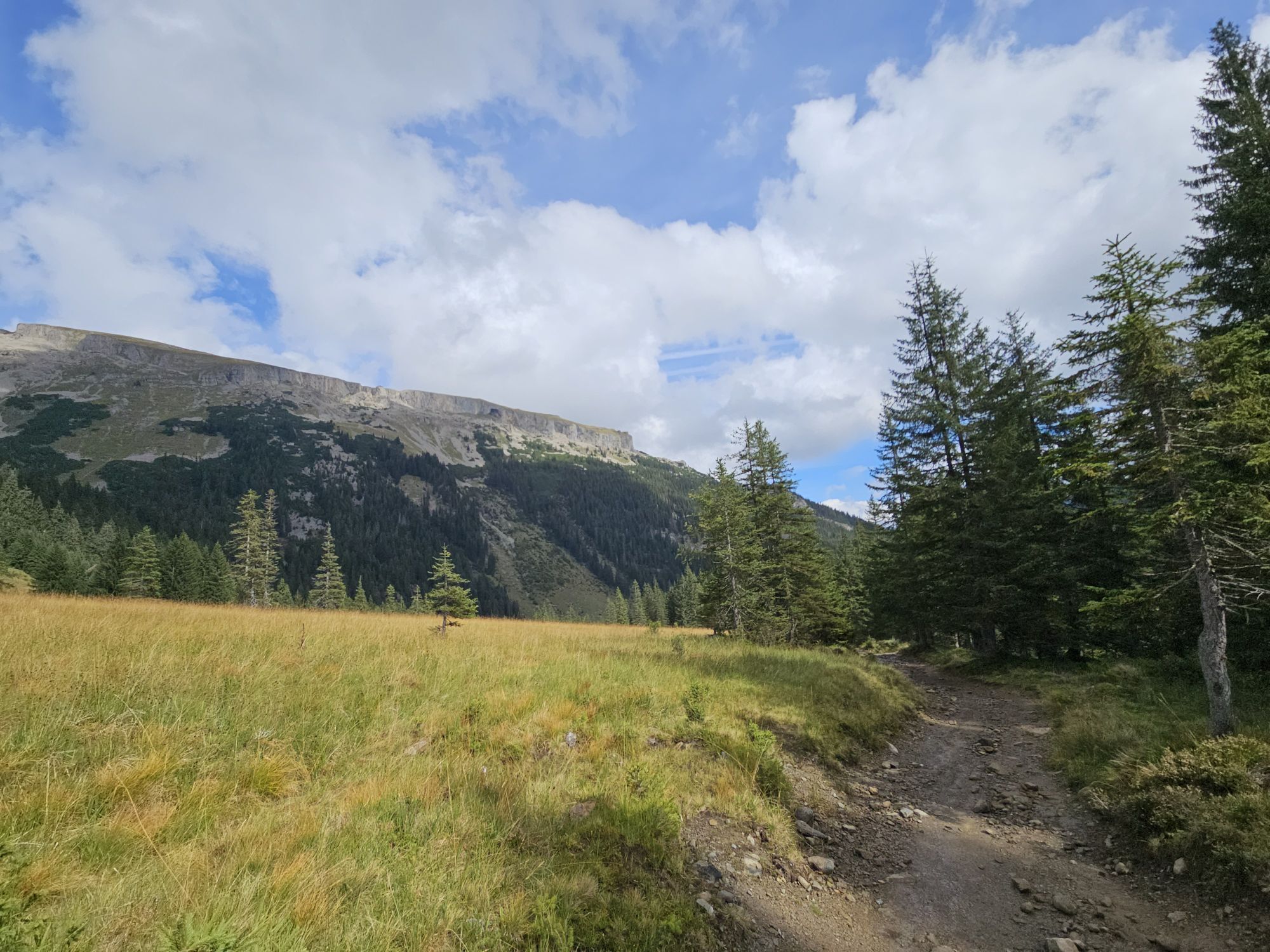
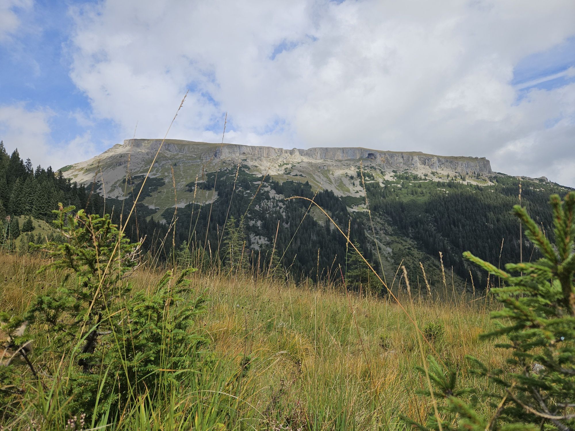
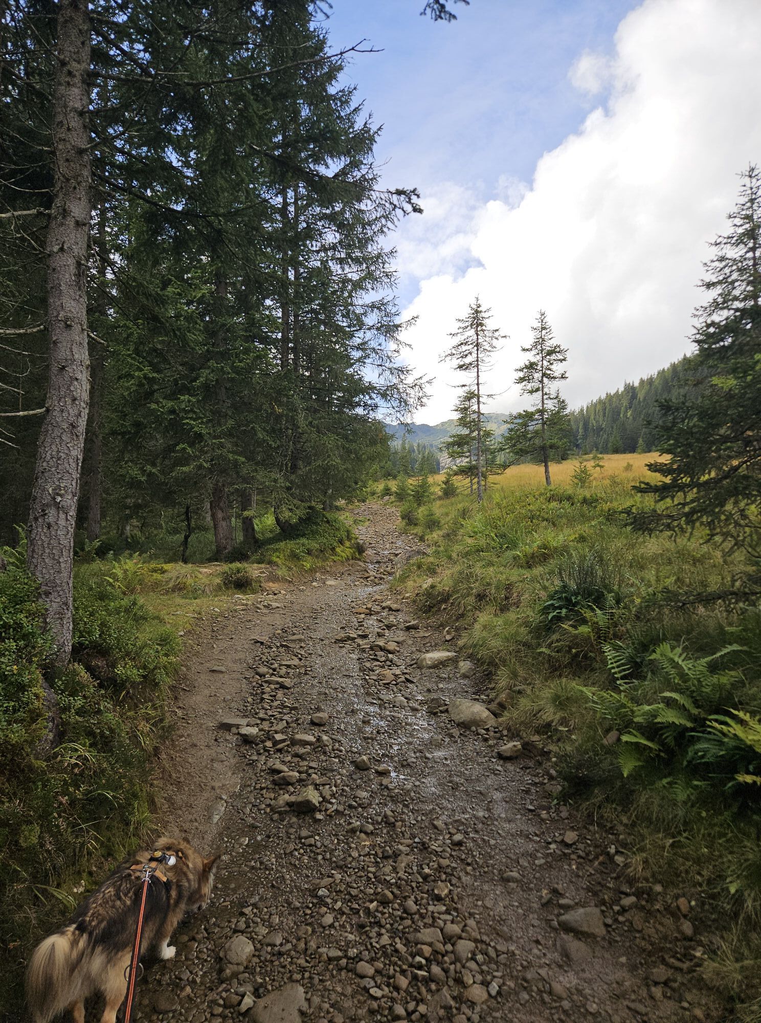
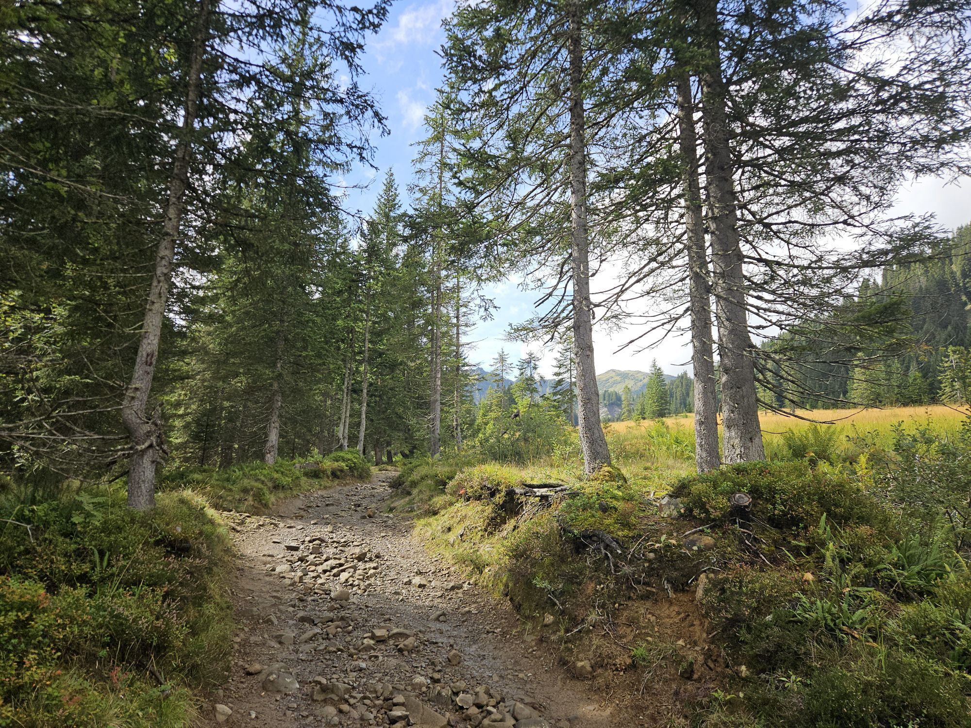
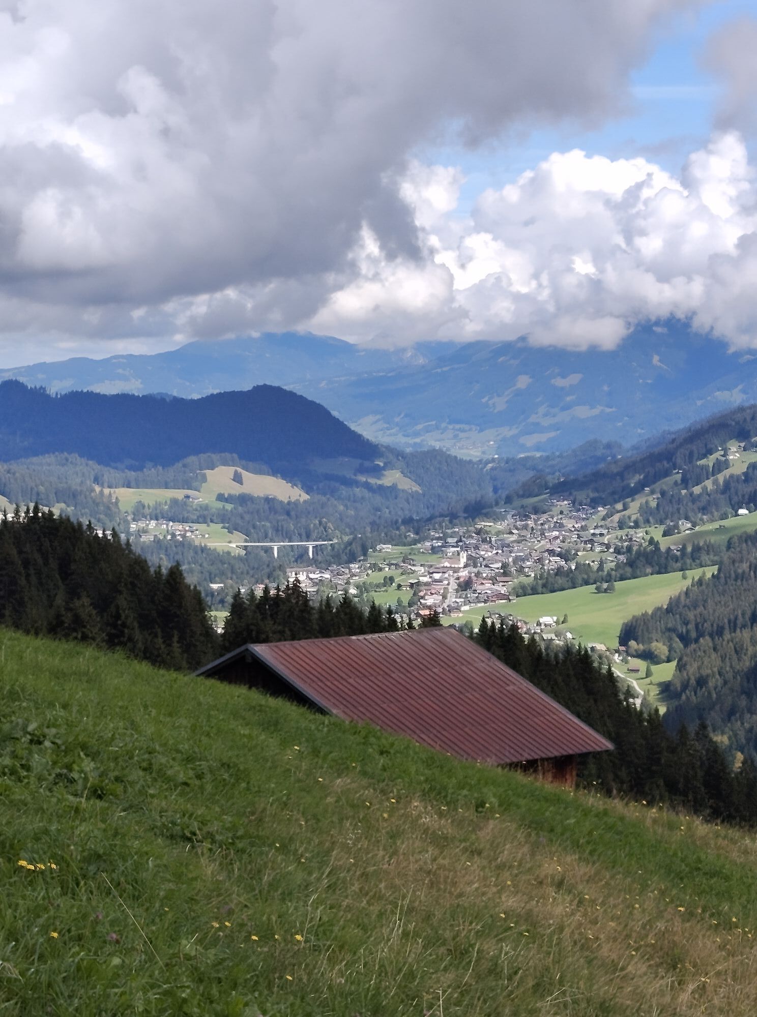
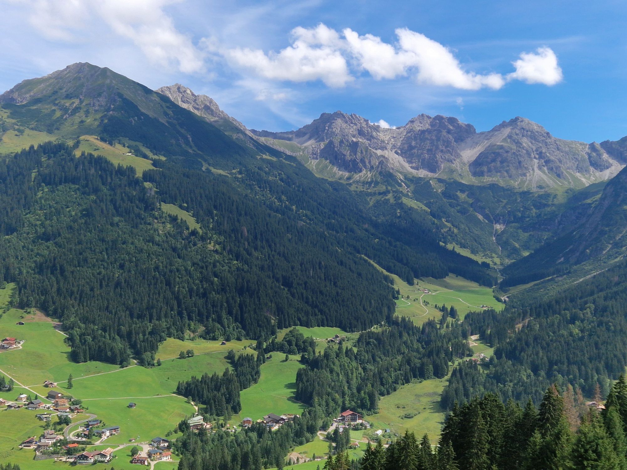
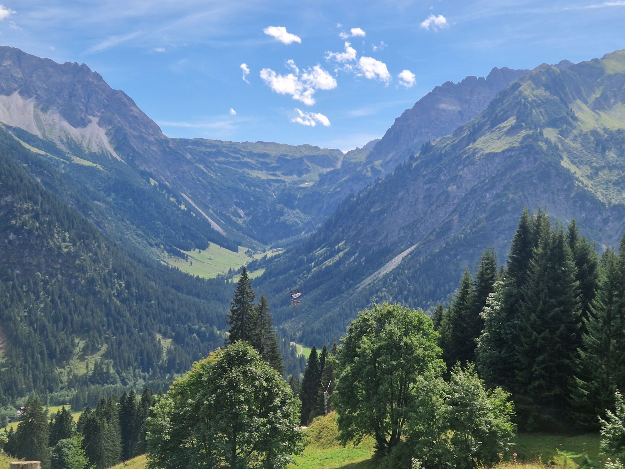
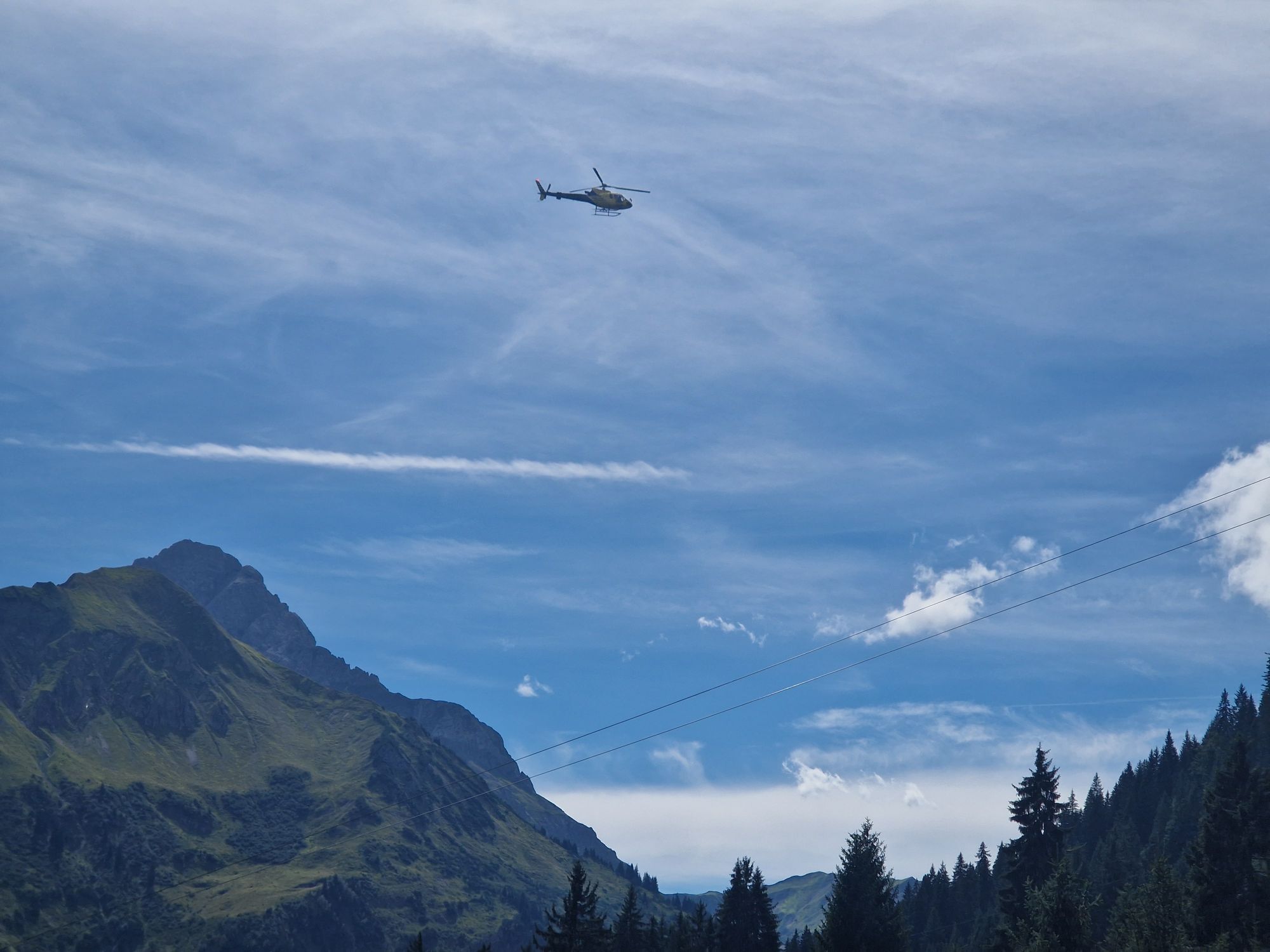
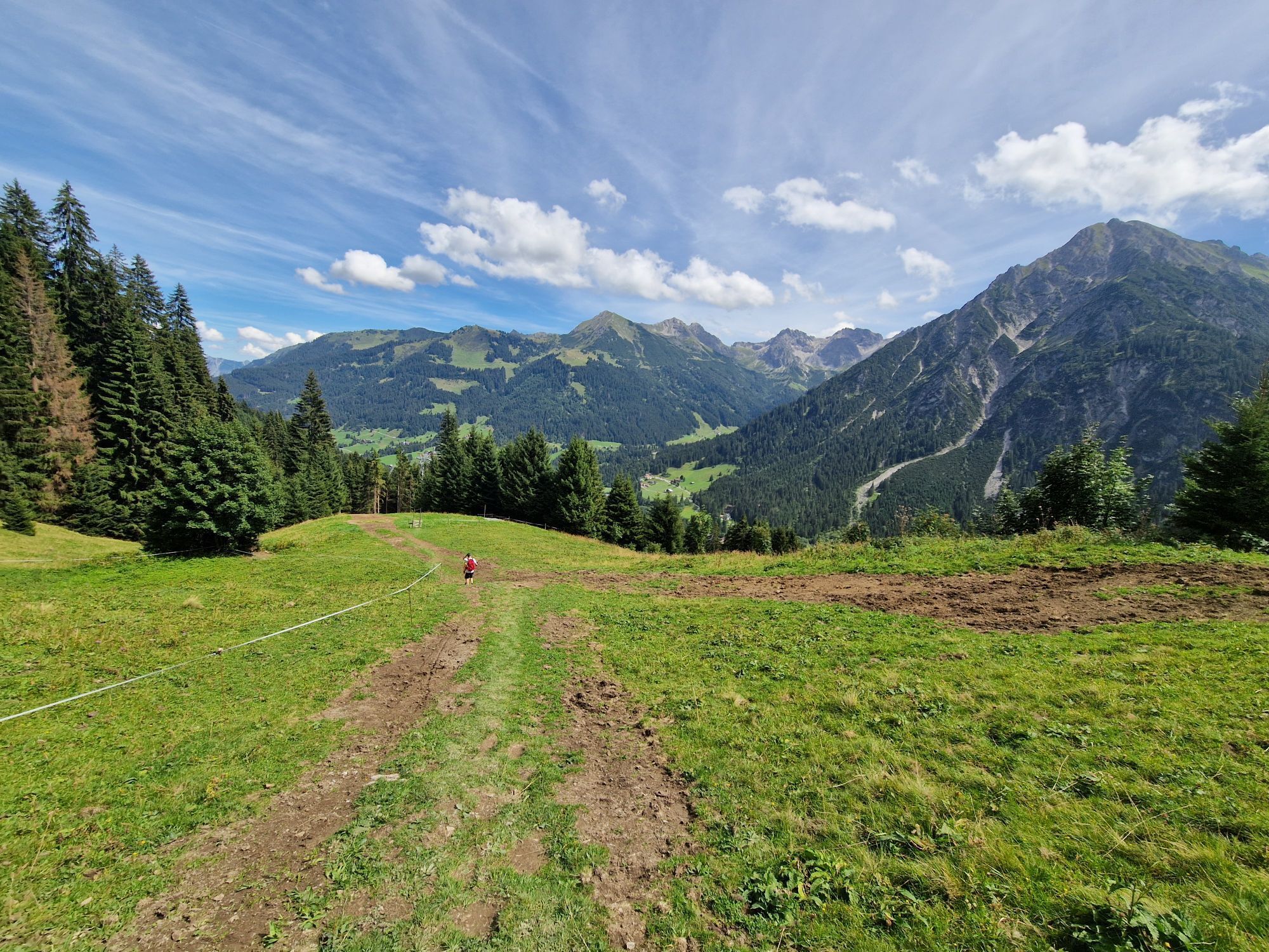
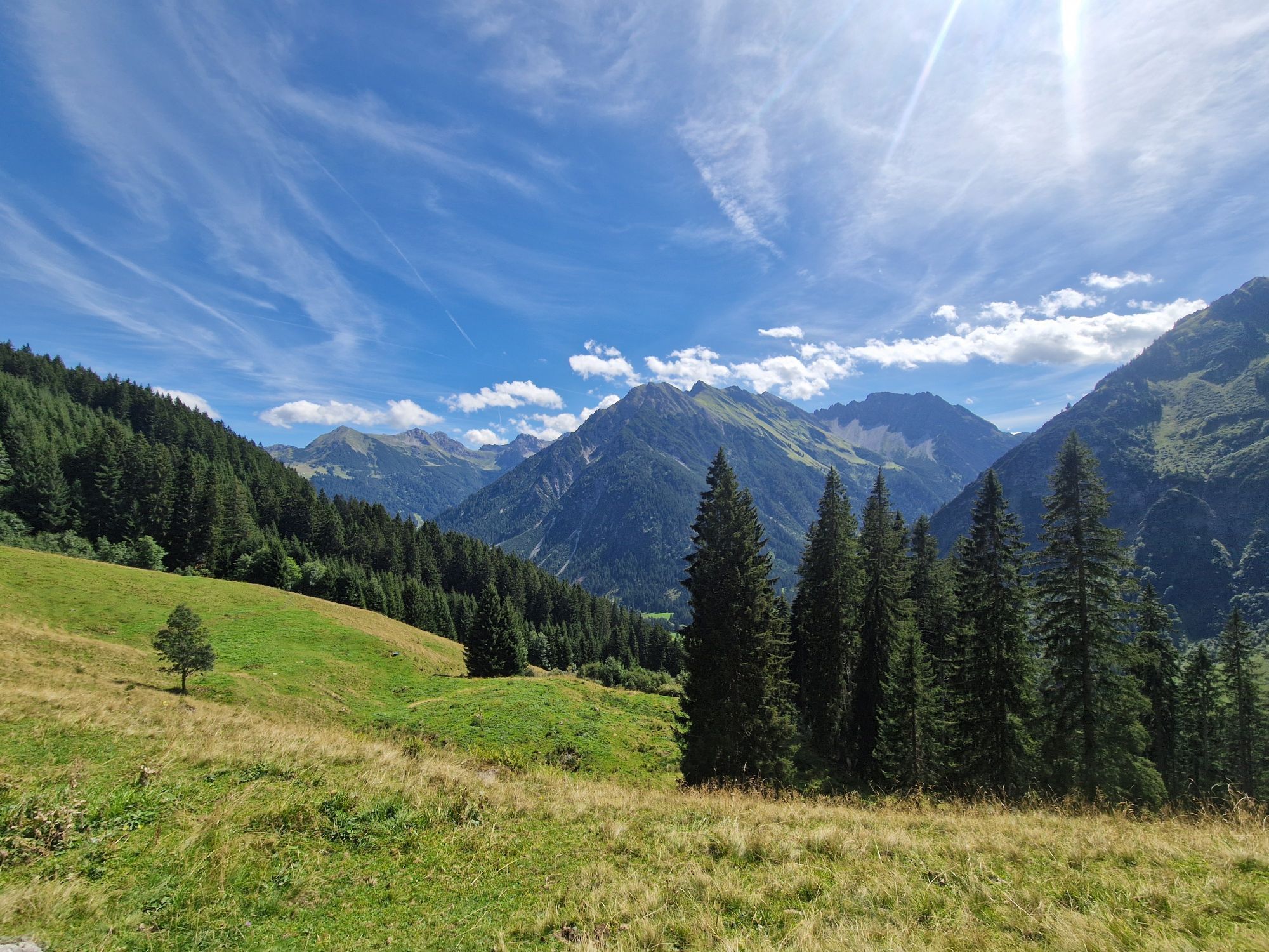
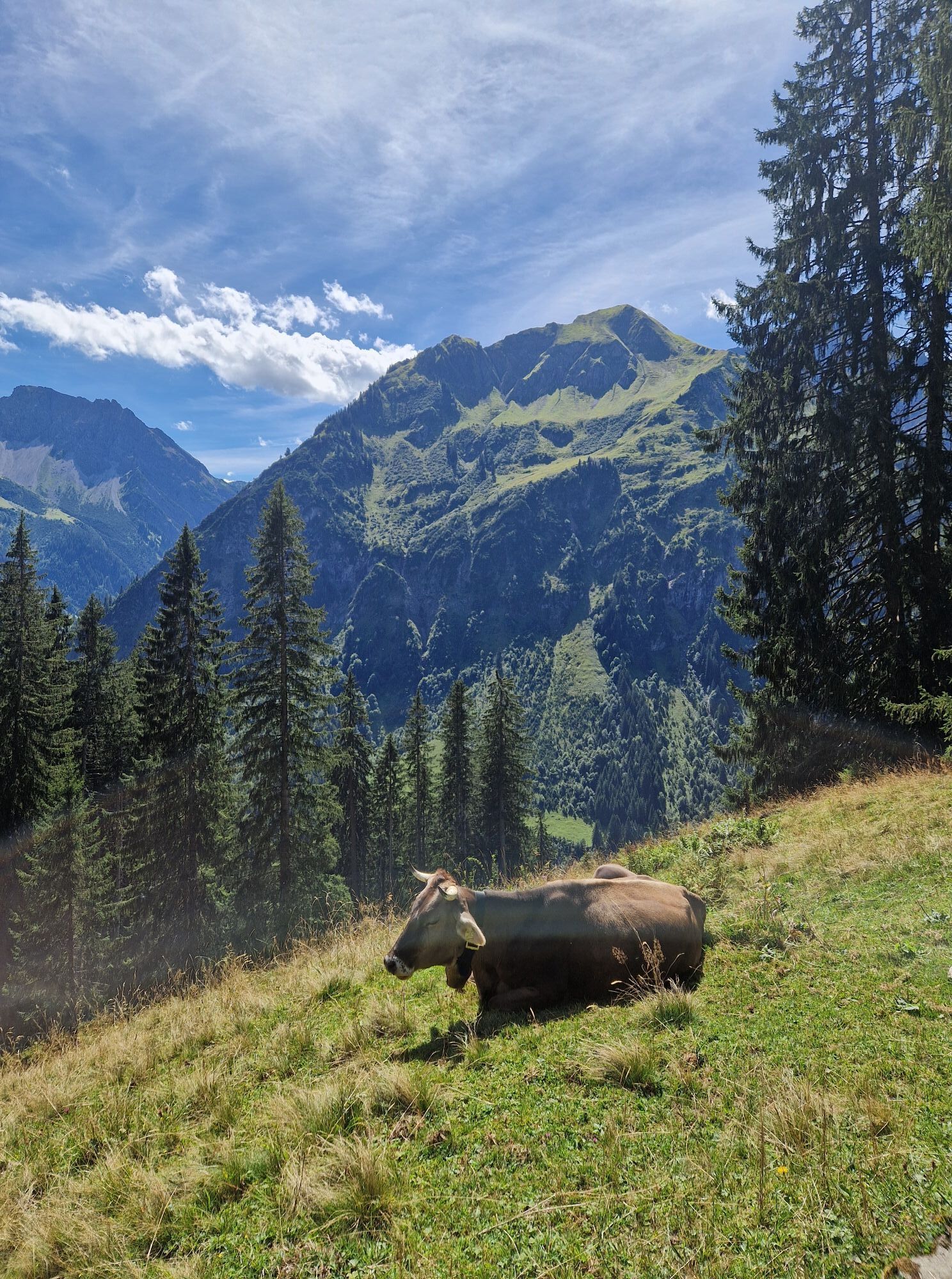
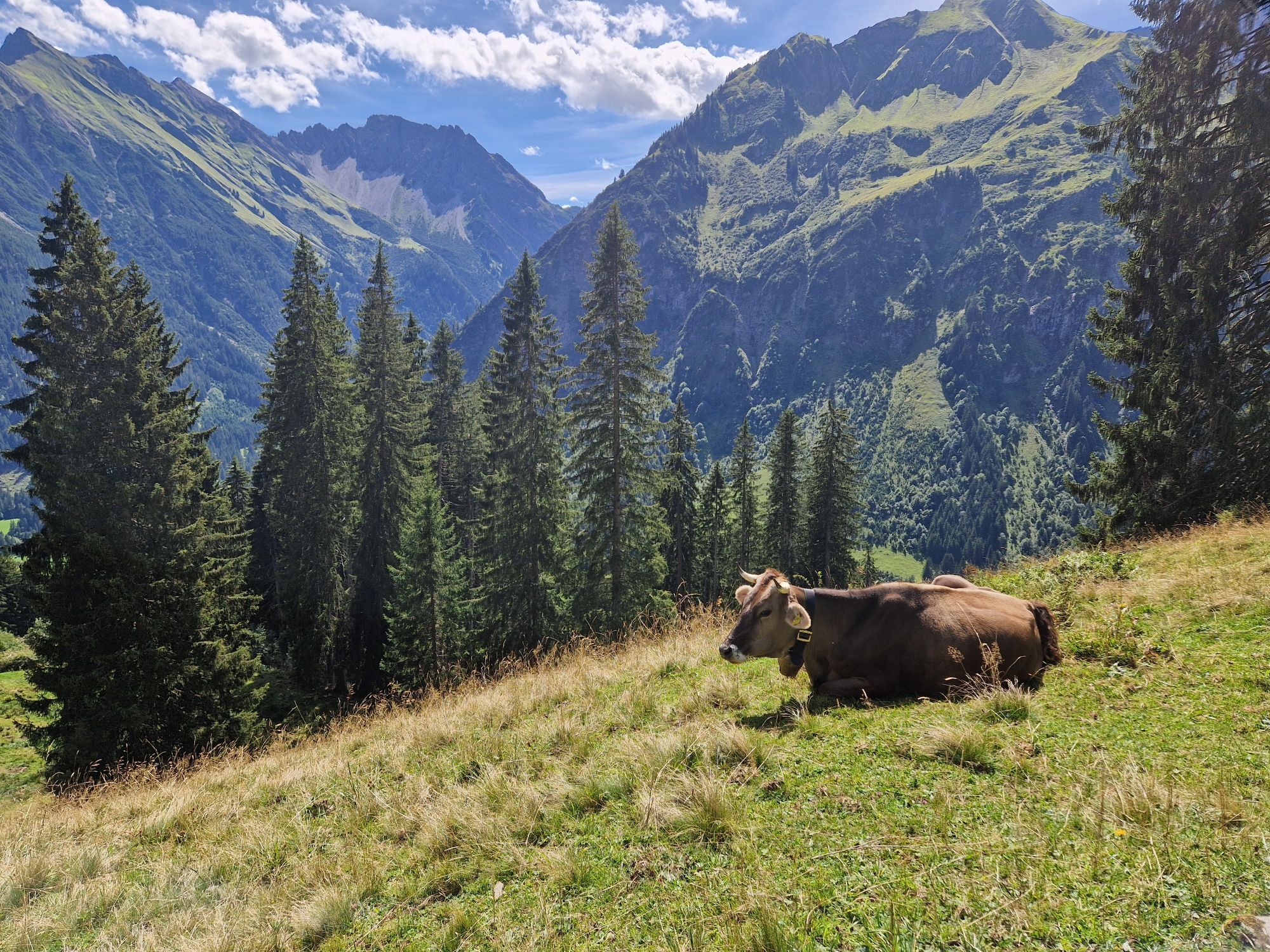
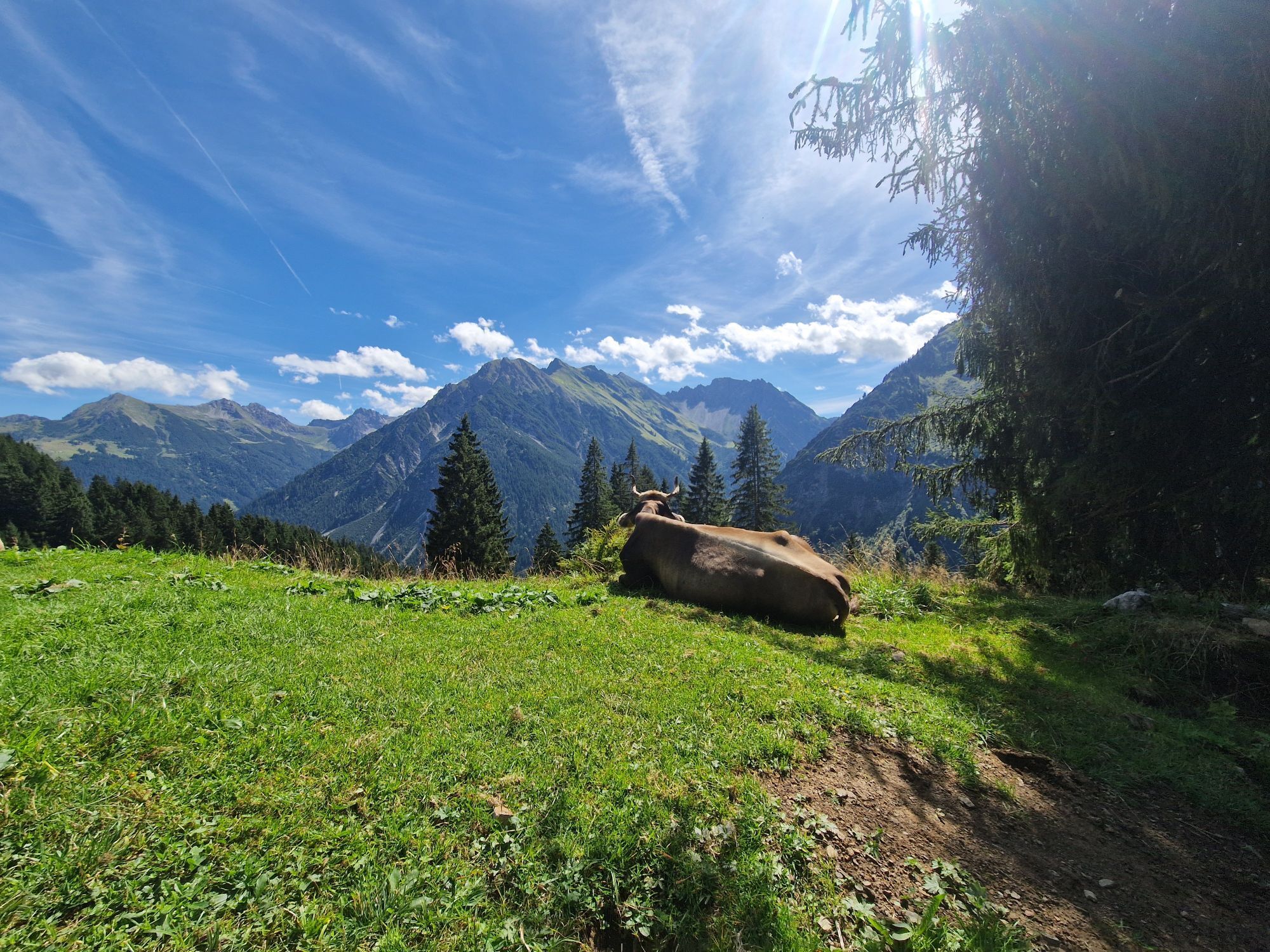
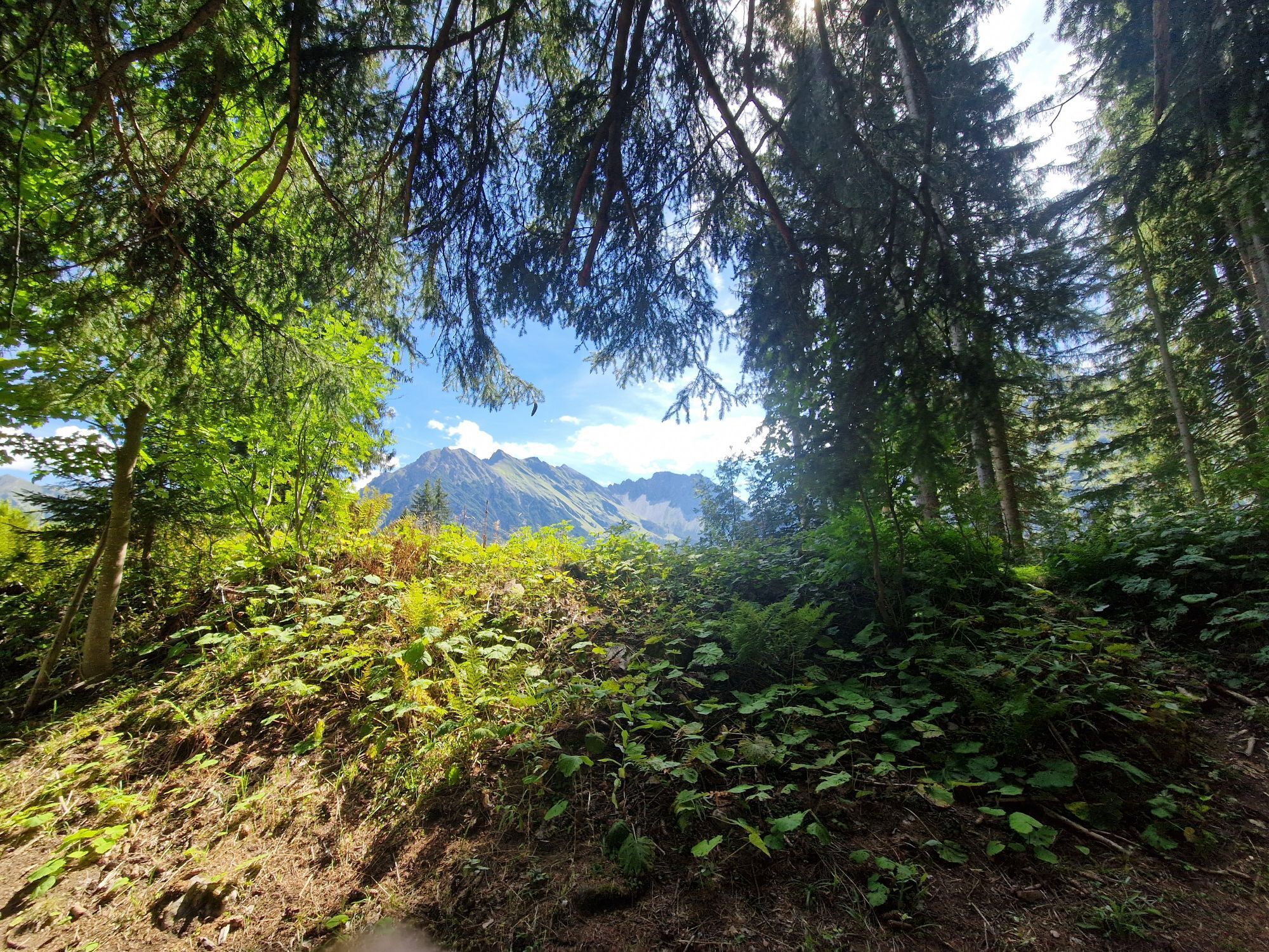
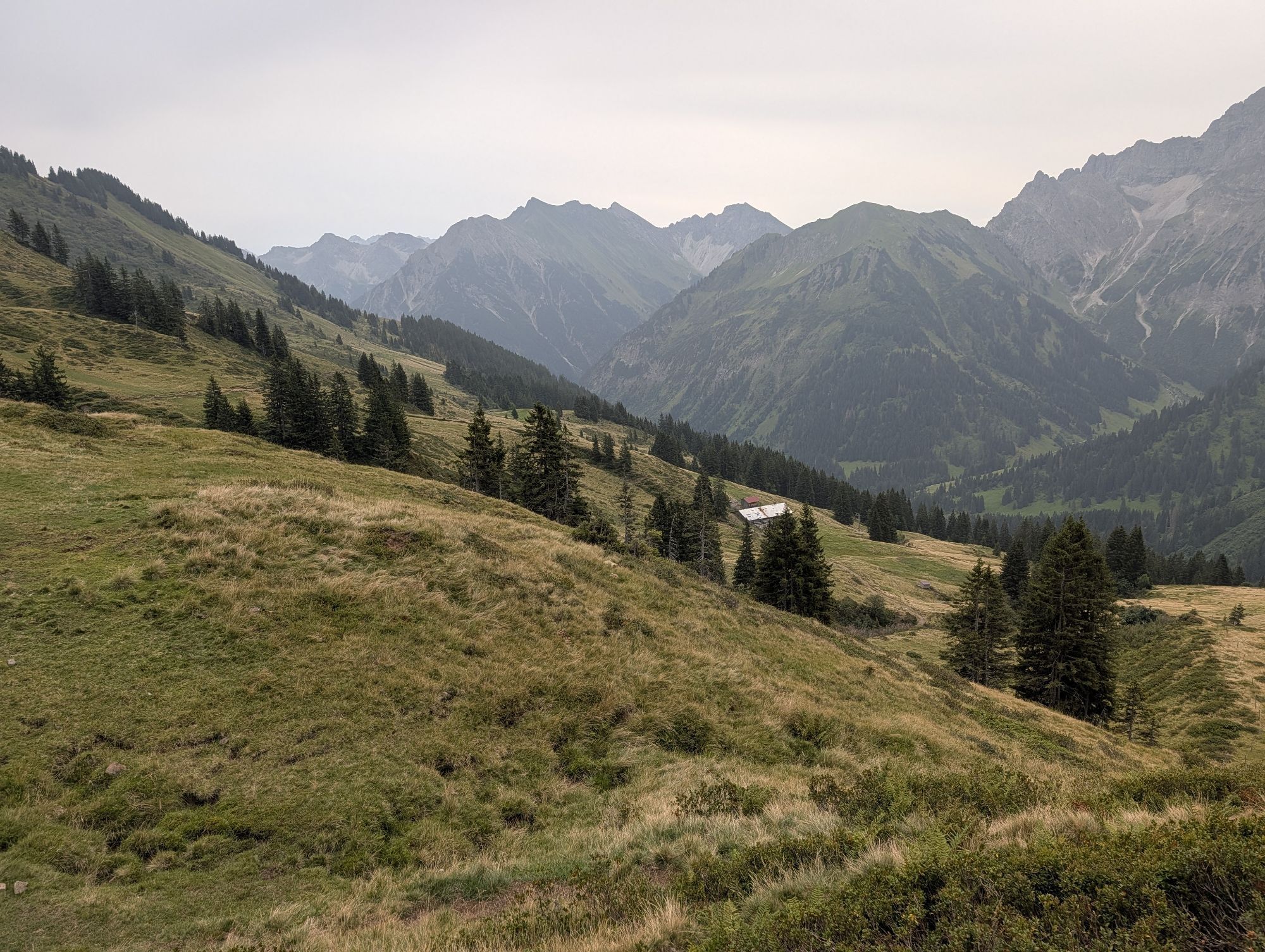
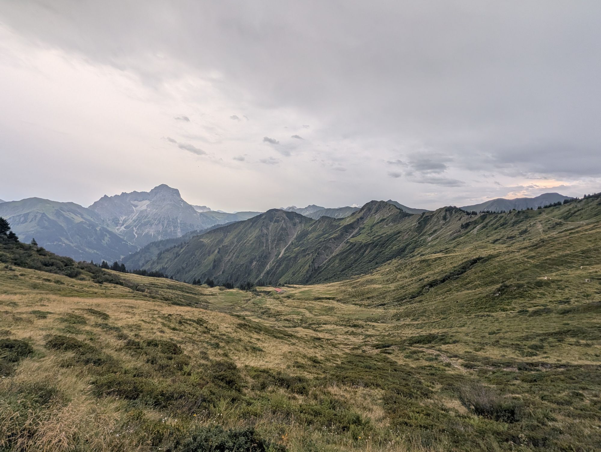
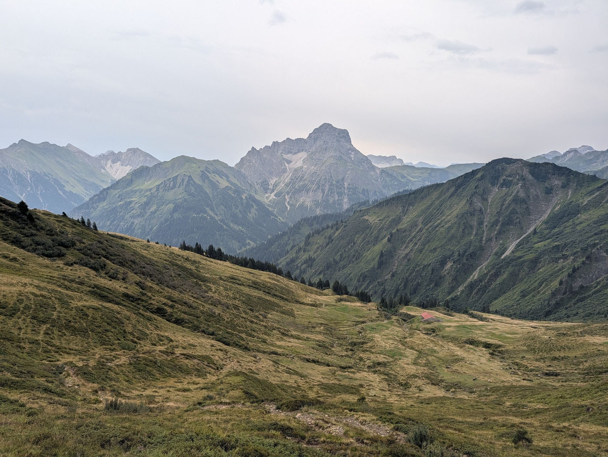
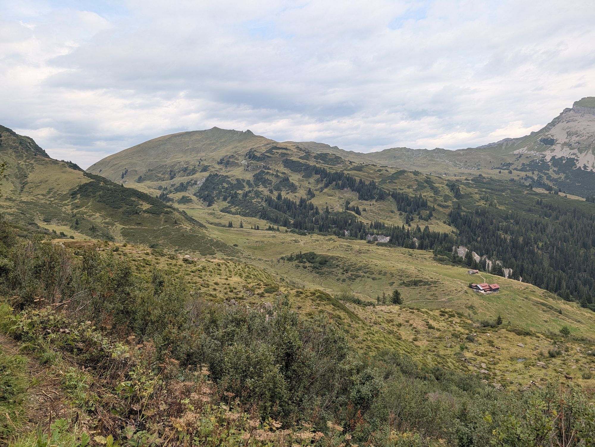
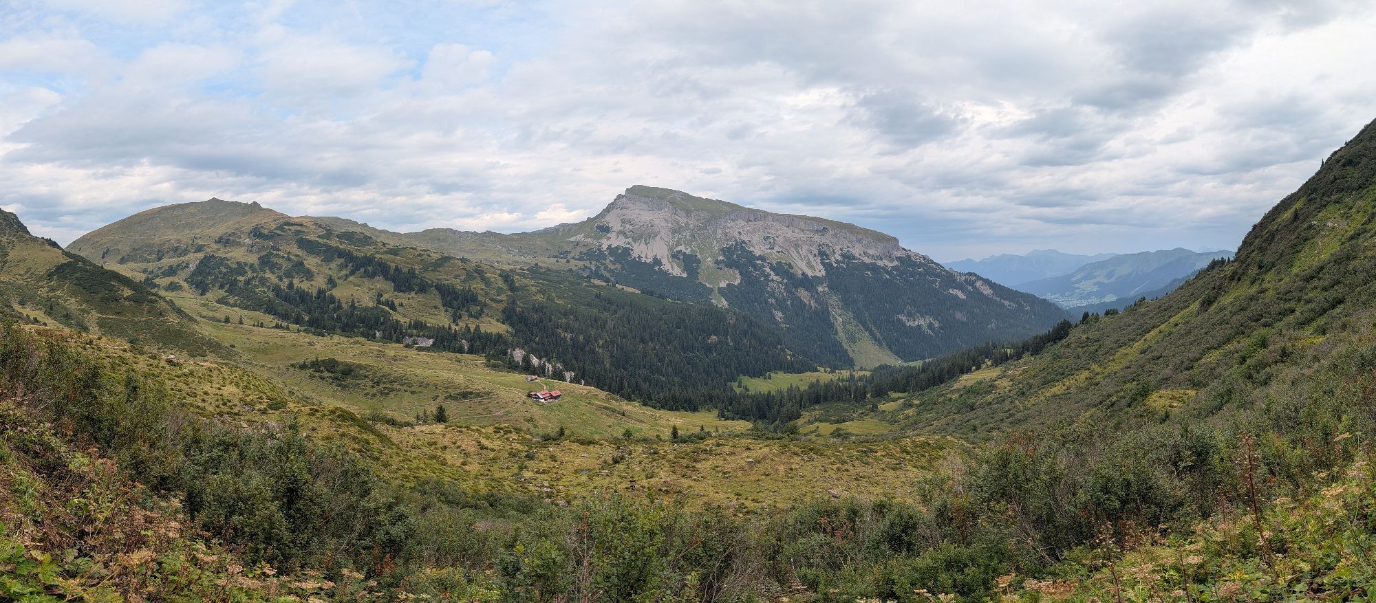
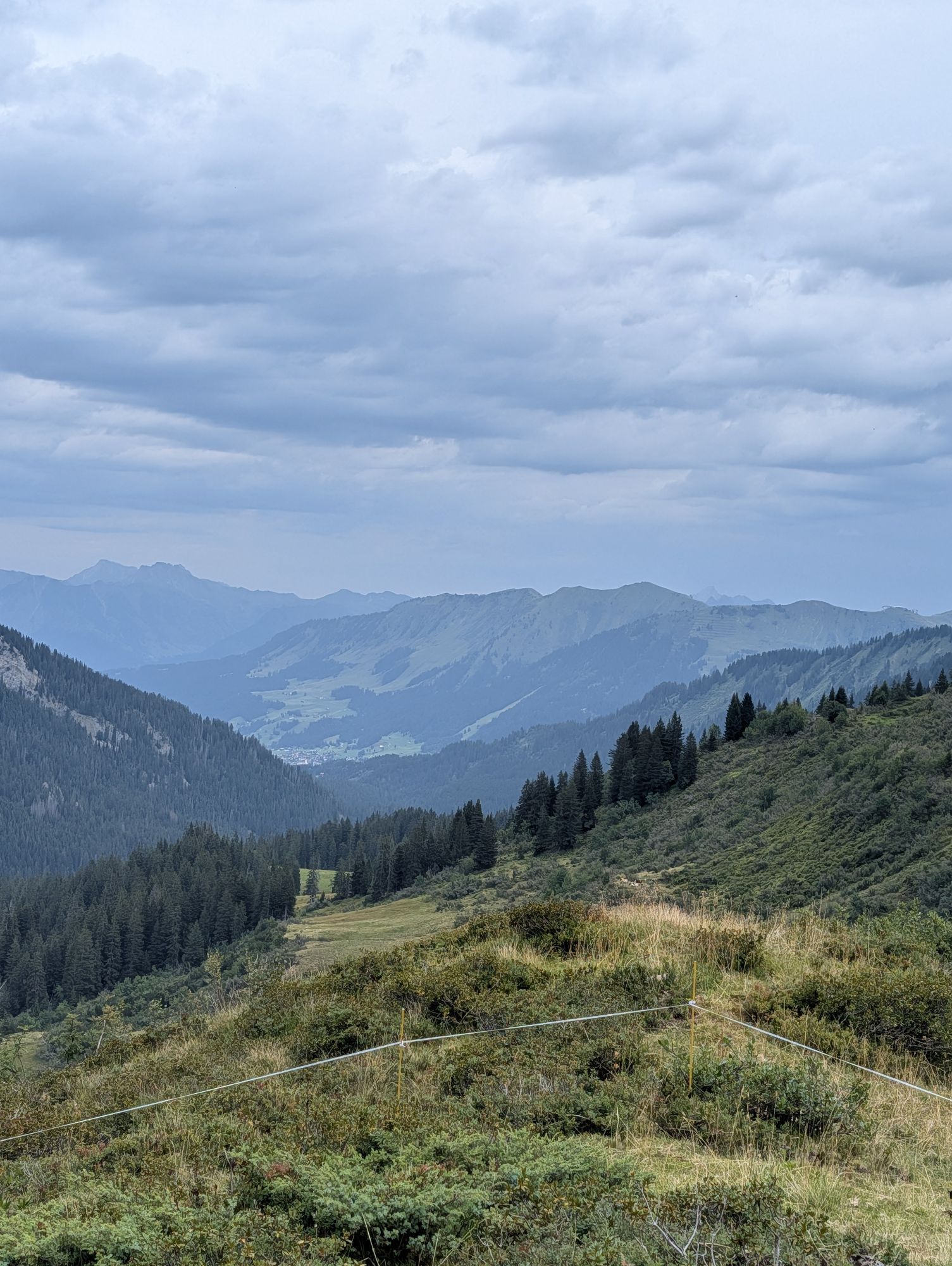
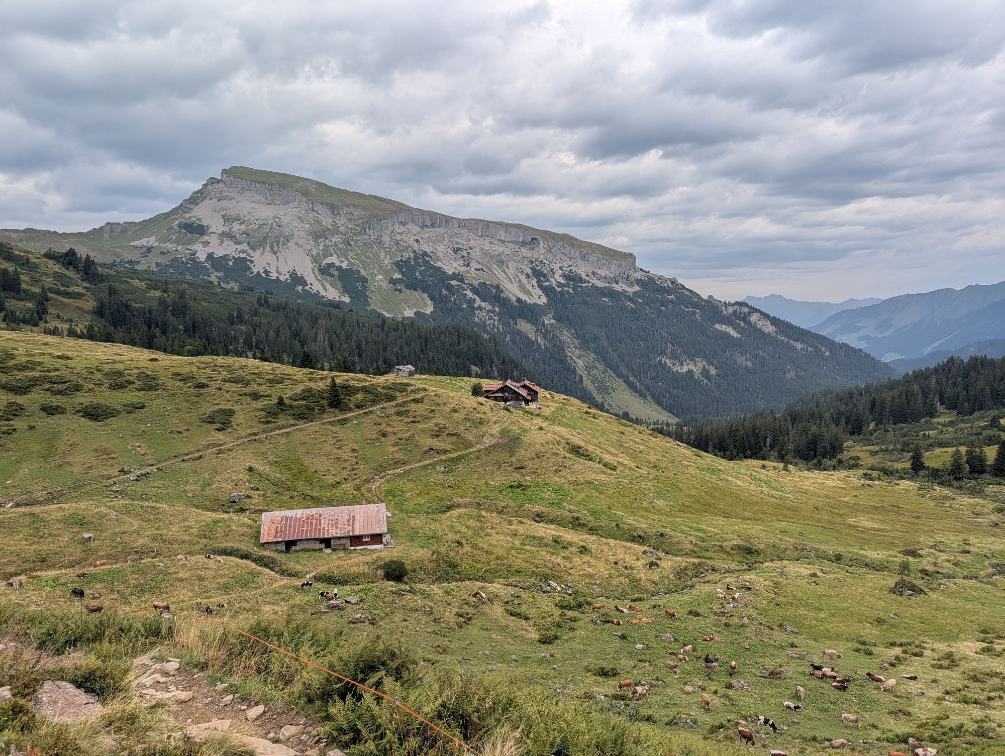
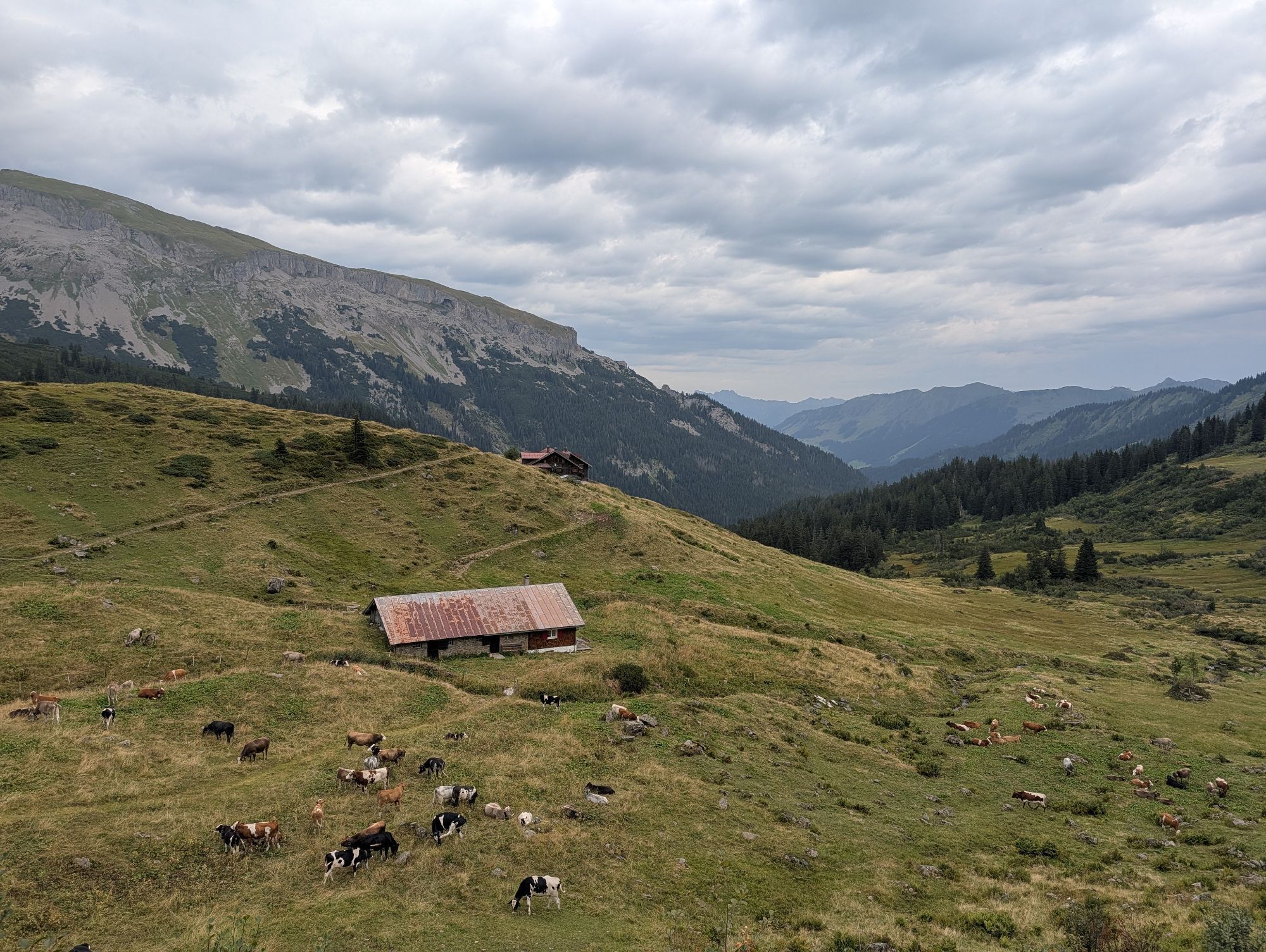
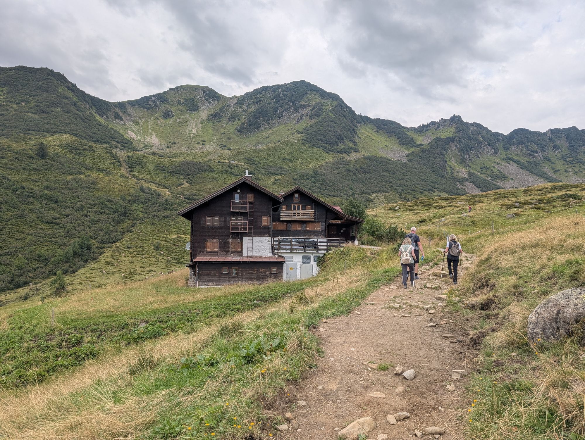
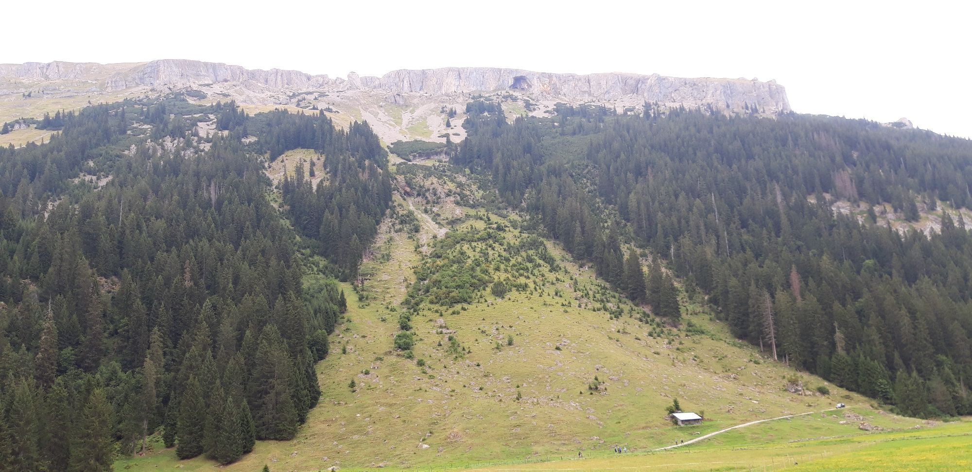
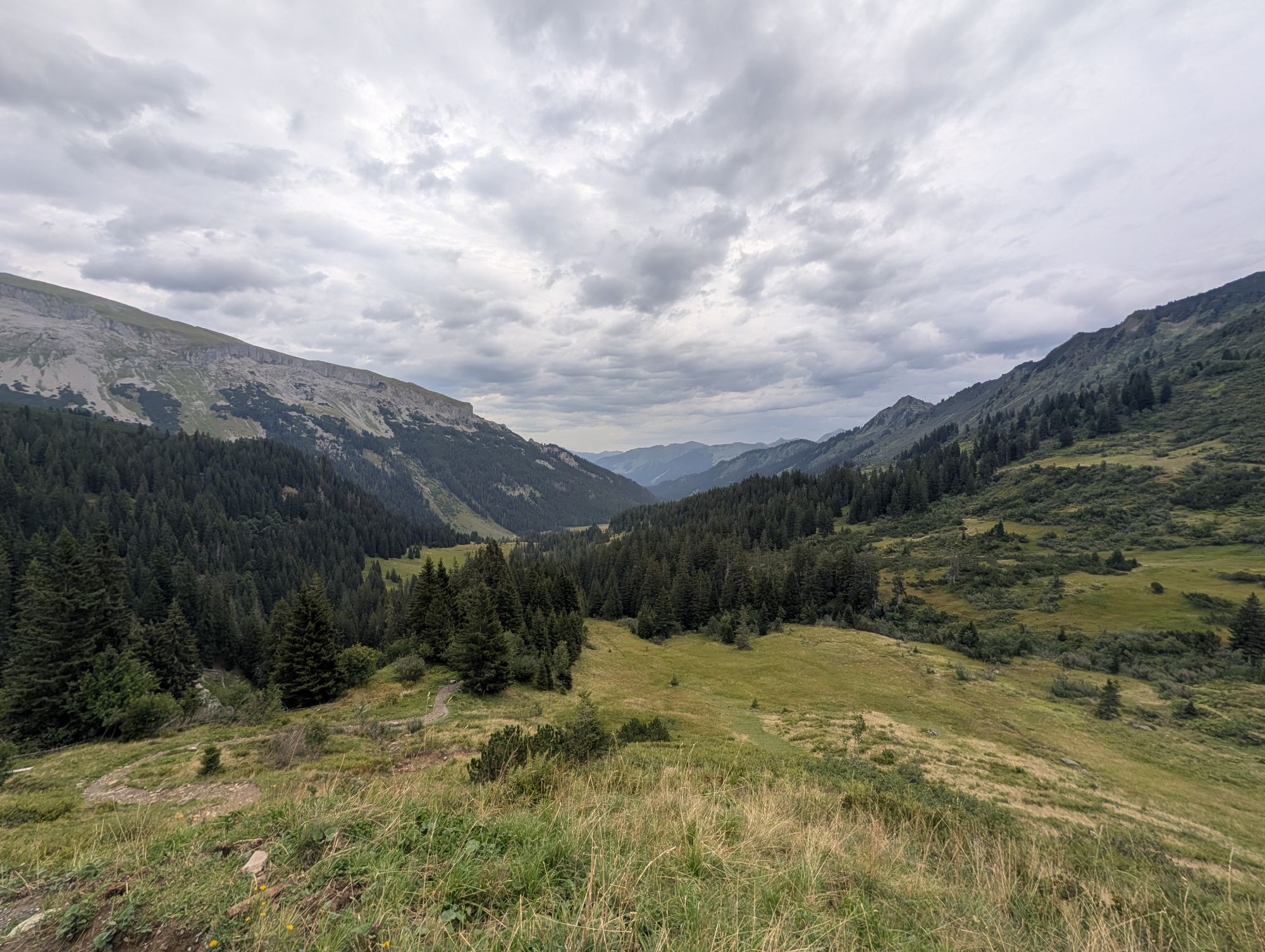
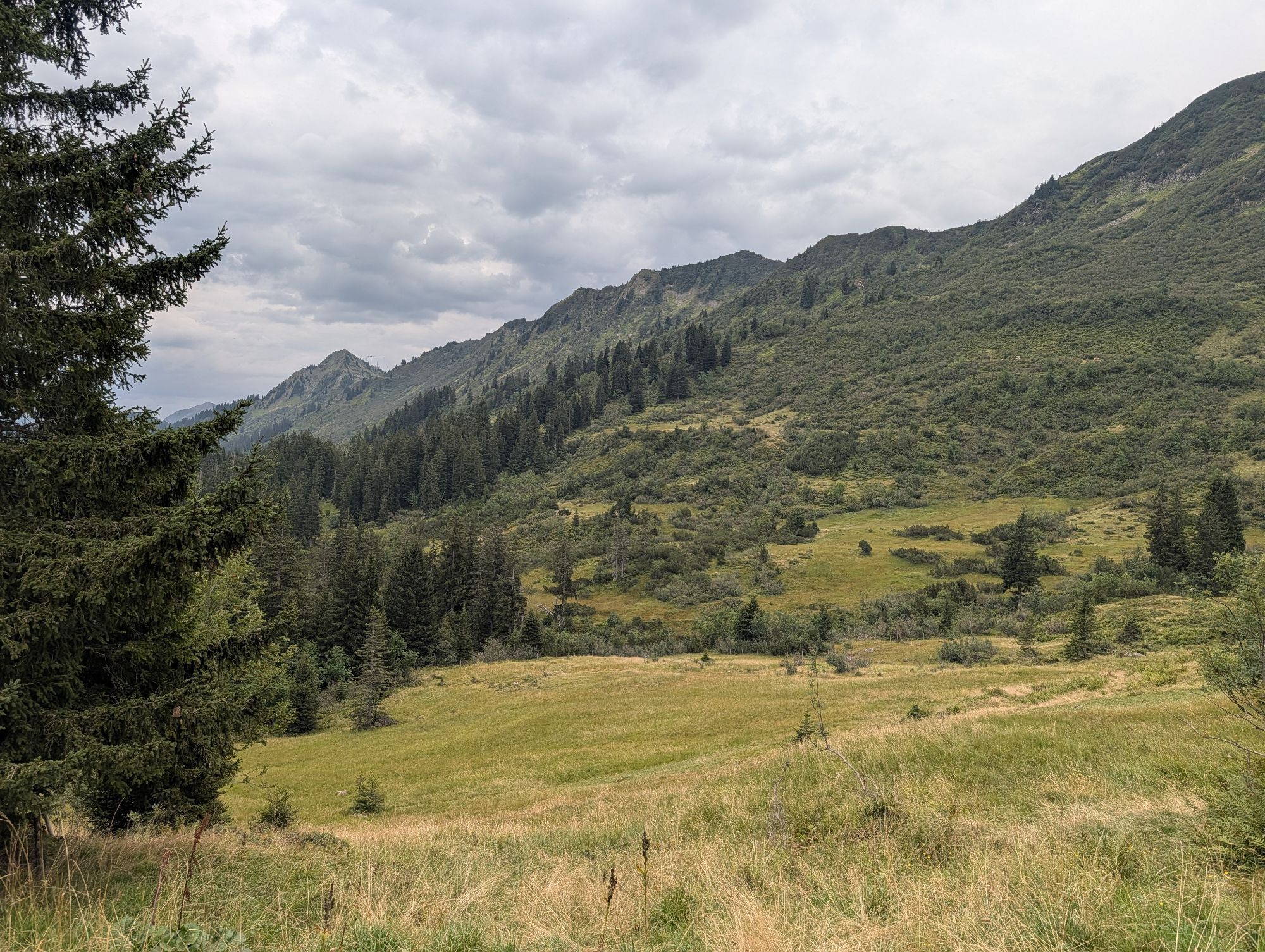
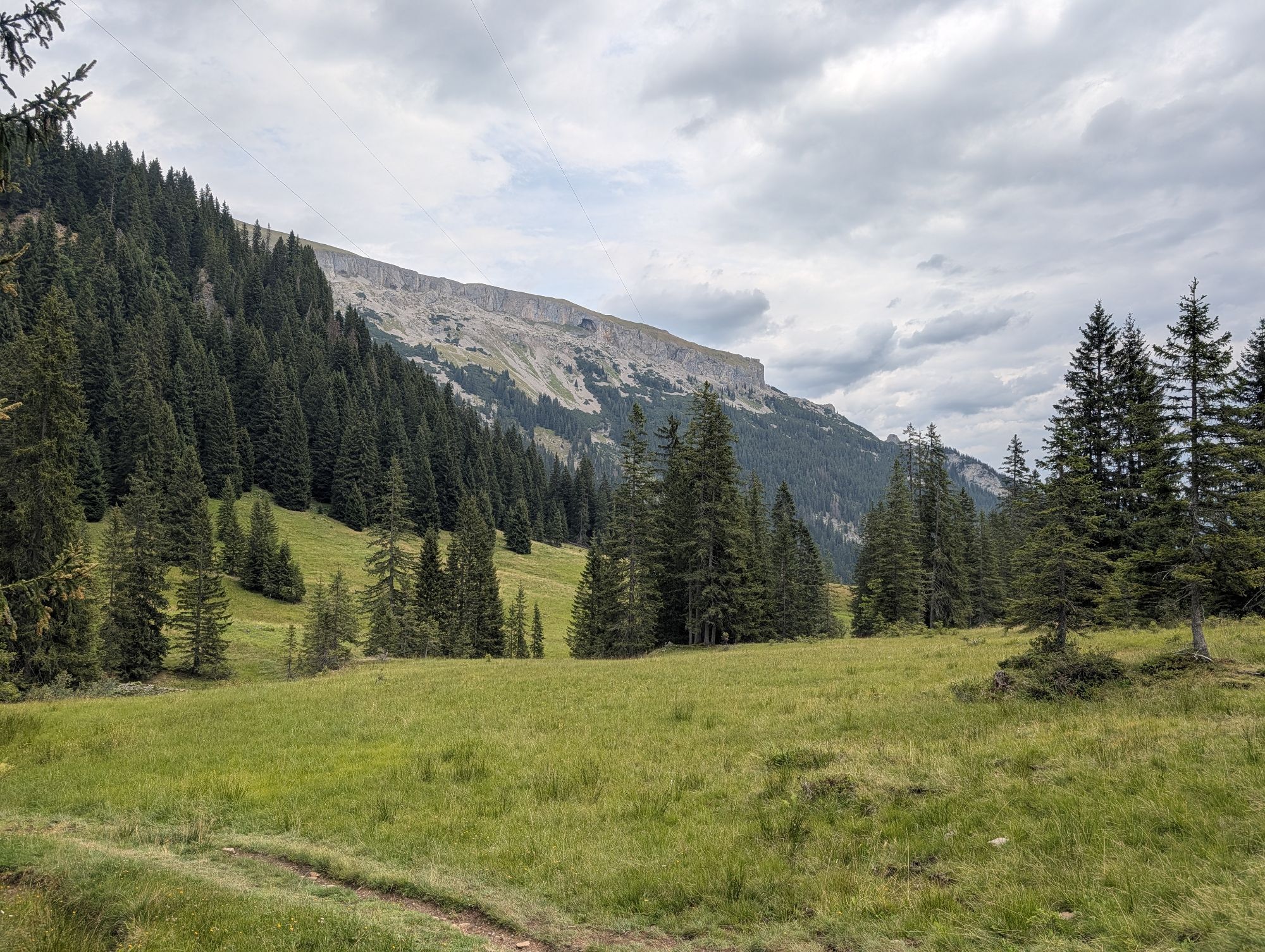
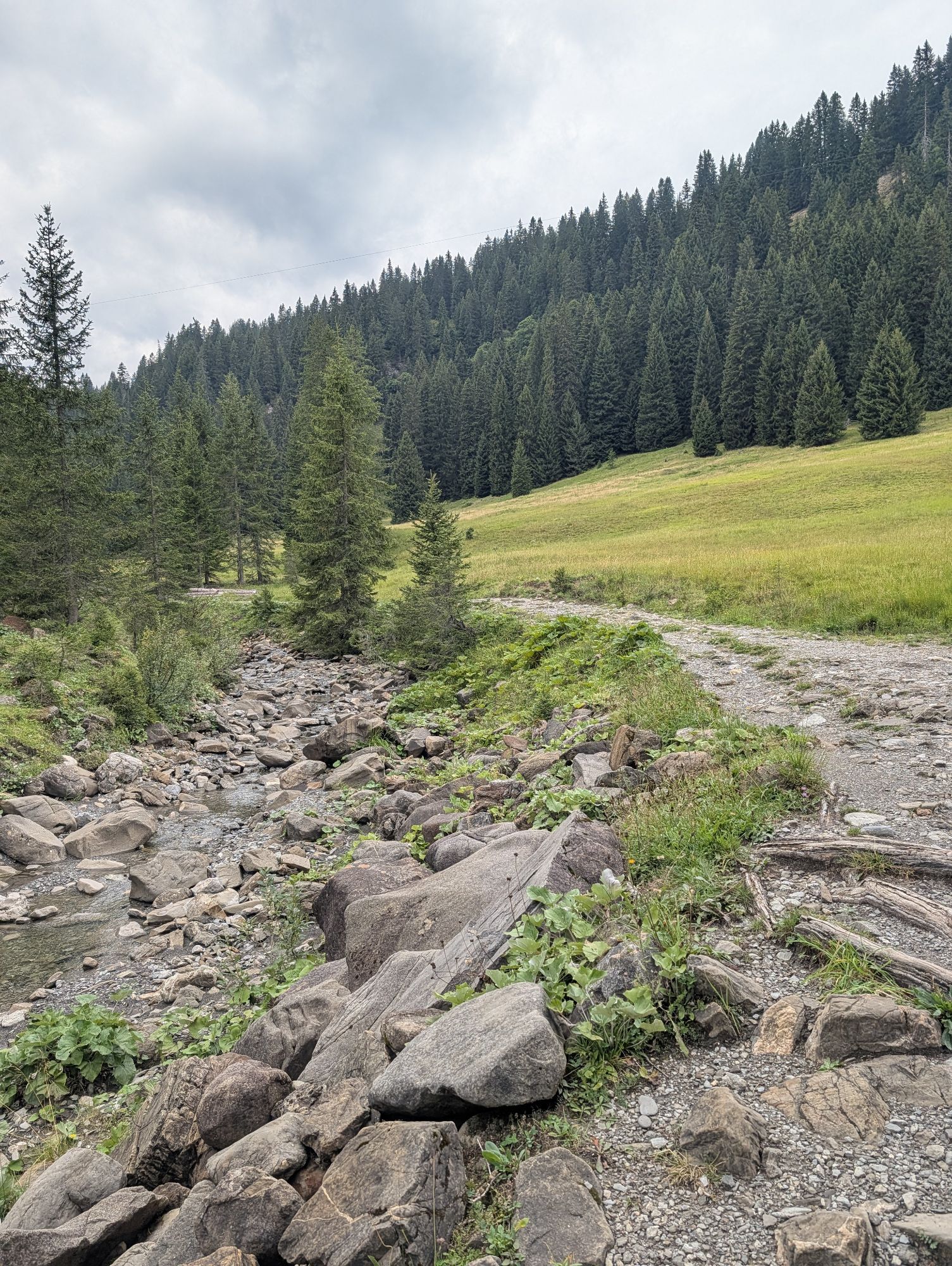
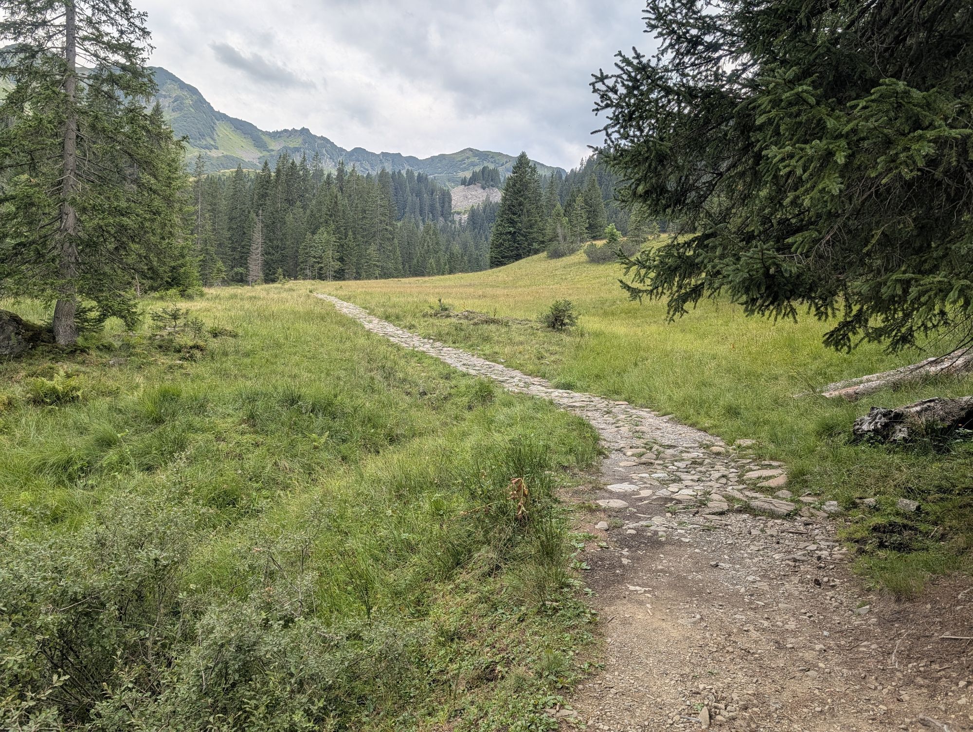
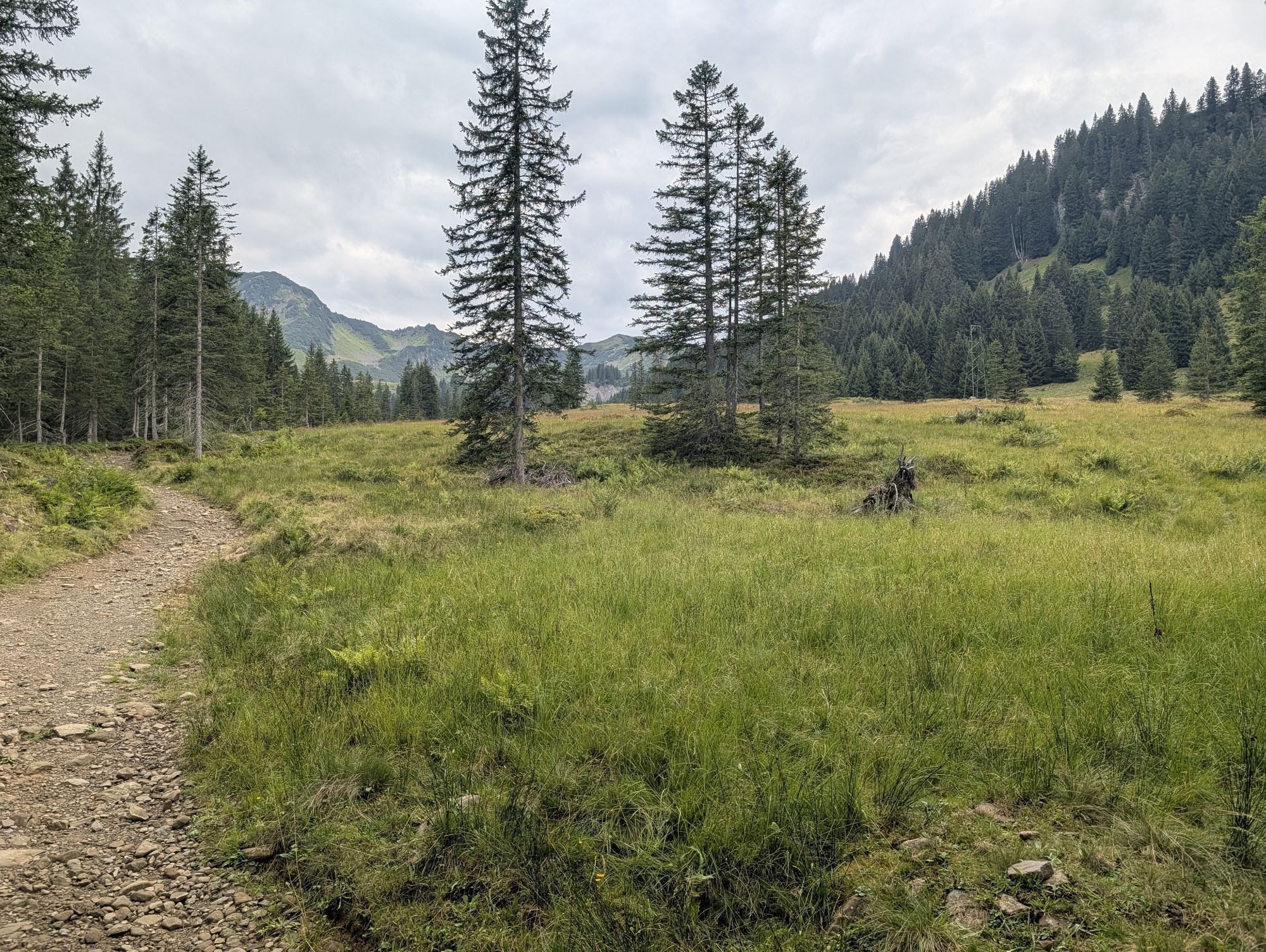
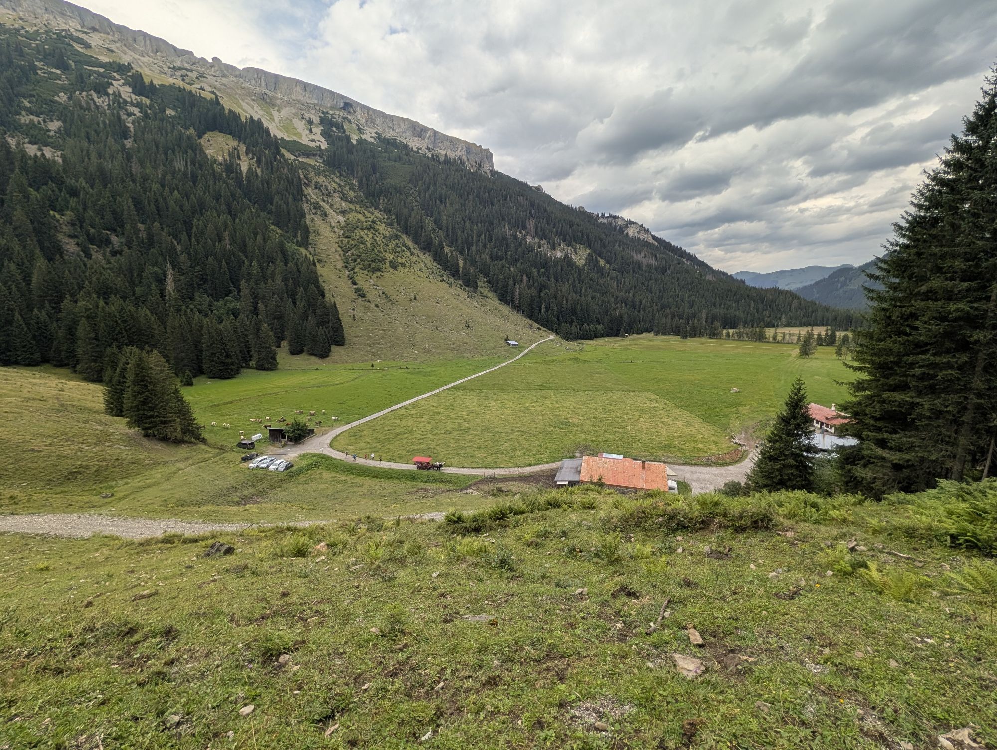
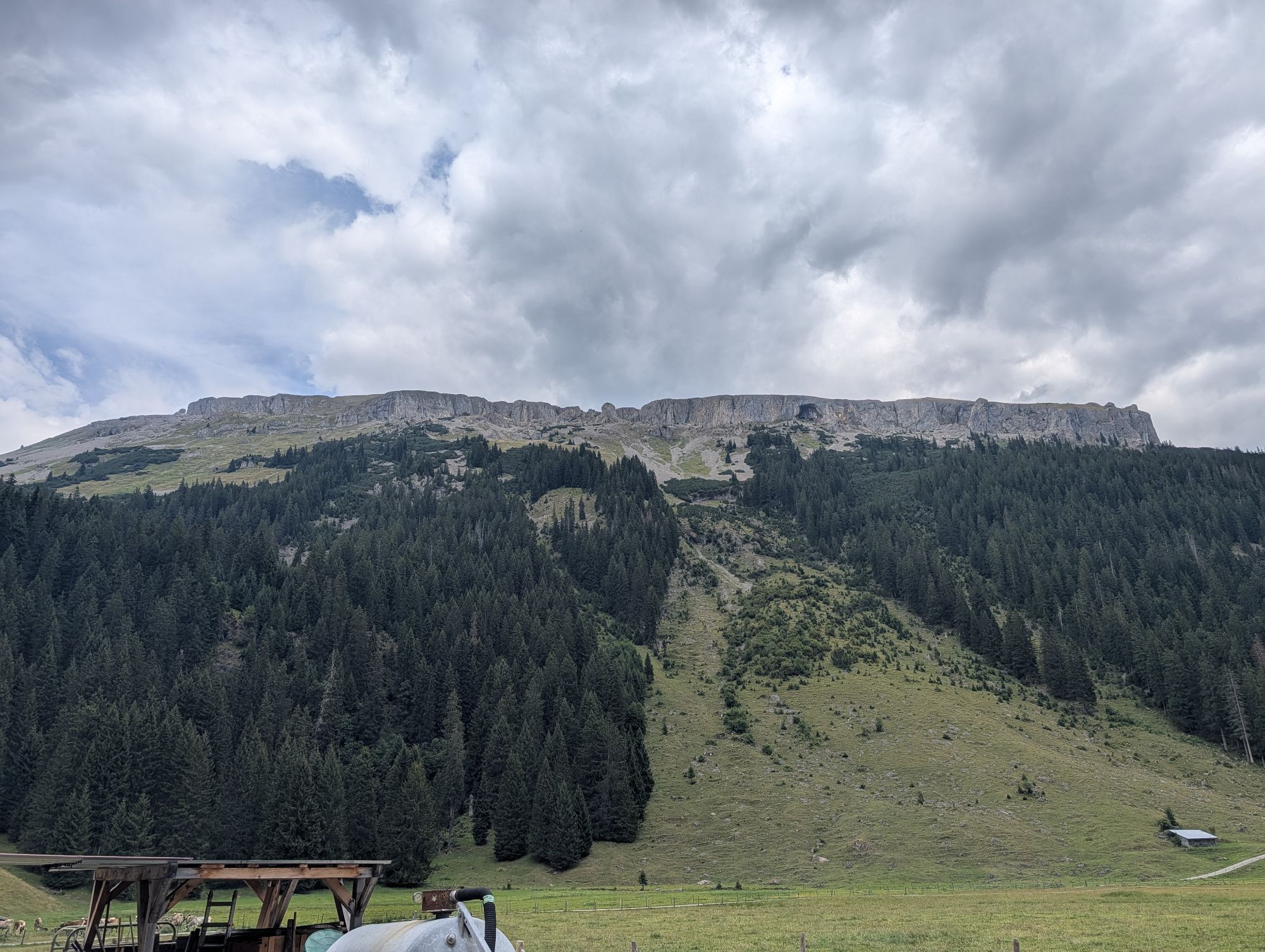
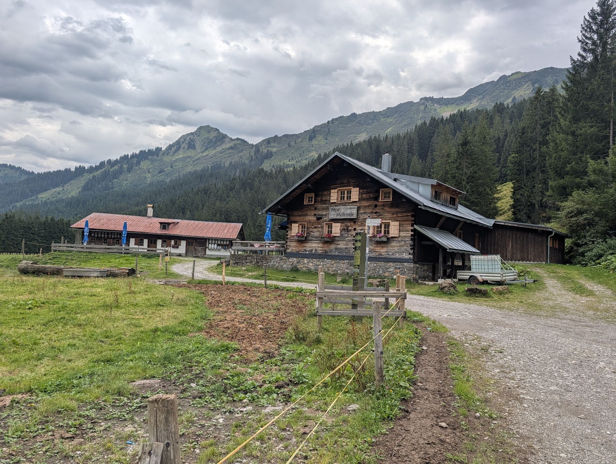
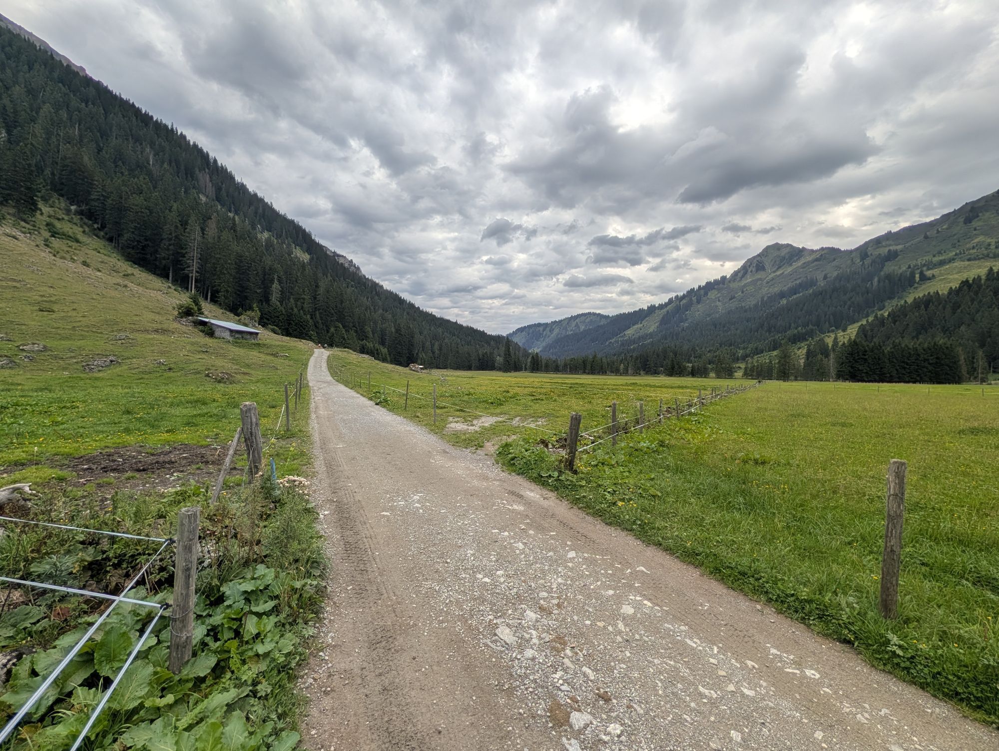
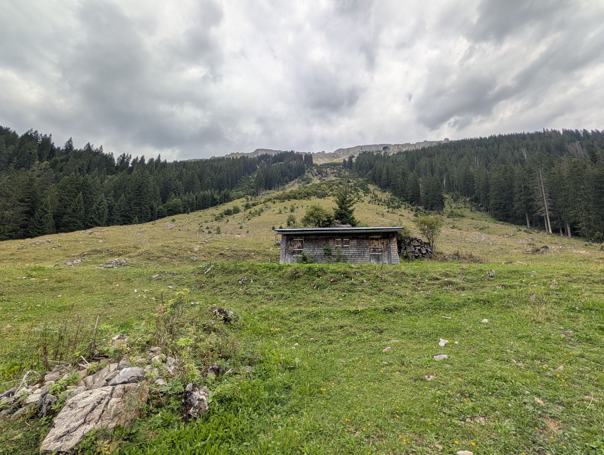
The "Gold" route of "Hike the Valley" is approximately 23 kilometers long and features an elevation gain of about 1,100 meters.
For all ambitious and experienced hikers, this route offers a personal challenge...
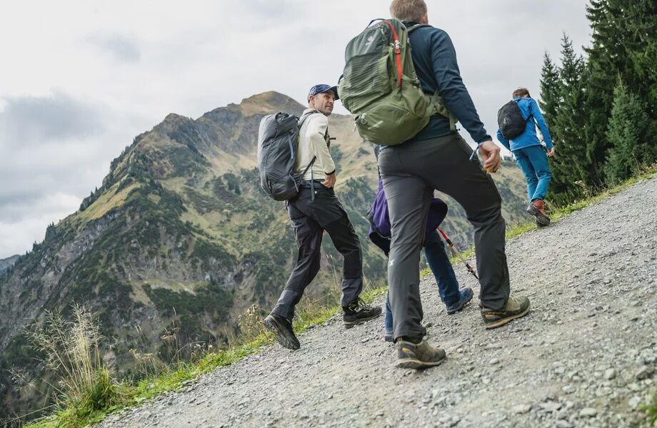
For all ambitious and experienced hikers, this route offers a personal challenge amidst the breathtaking natural beauty of the Kleinwalsertal. Inspired by the event’s unique atmosphere, experienced hikers will push themselves to new heights on this route—which is particularly demanding in terms of stamina—and can take pride in having conquered the premier route once they reach the finish line. The route is intended for experienced hikers. It requires a head for heights and sure-footedness.
After starting at the Walserhaus in Hirschegg, the route leads via the Rohrweg and Schöntalweg up to the Heubergbahn mountain station and continues along the scenic Oberer Höhenweg. The trail continues at the foot of the Ochsenhofer Köpfe to the Ochsenhofer Scharte. From there, the route descends into the Schwarzwassertal valley and back to Hirschegg.
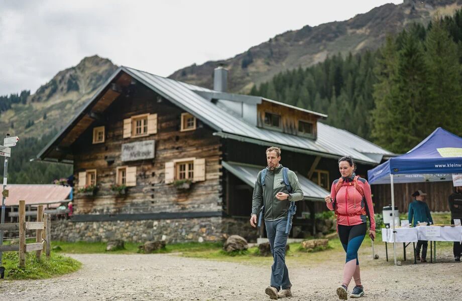

Joint start at the Walserhaus in Hirschegg – Rohrweg - Oberhirschegg – Schöntalweg – Heuberg Mountain Station – Höhenweg - Sonna-Alp – Bühlalpe – Stutzalpe – Lüchlealpe - Innere Stiefhofalpe – Ochsenhofer Scharte – Schwarzwasserhütte (closed until summer 2027 due to renovations) – Melköde – Auenhütte – Schöntalweg – Finish line in Hirschegg at the Walserhaus
Personal hiking gear. Sturdy footwear and weather-appropriate clothing. There are regional snack stations along the route; otherwise, you’ll need to bring your own food for the hike.
The trail is not fully marked even on the day of the event, October 10, 2026. Participants in “Hike the Valley” are responsible for their own safety and hike the route independently. The Gold Route is extremely physically demanding and is intended for experienced hikers. It includes some exposed sections and requires a head for heights and sure-footedness.
T2
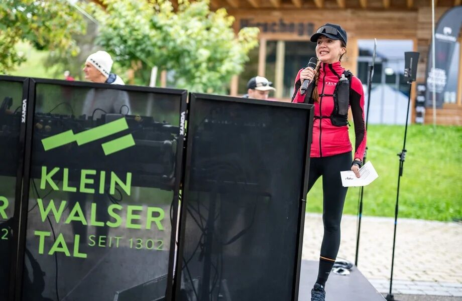
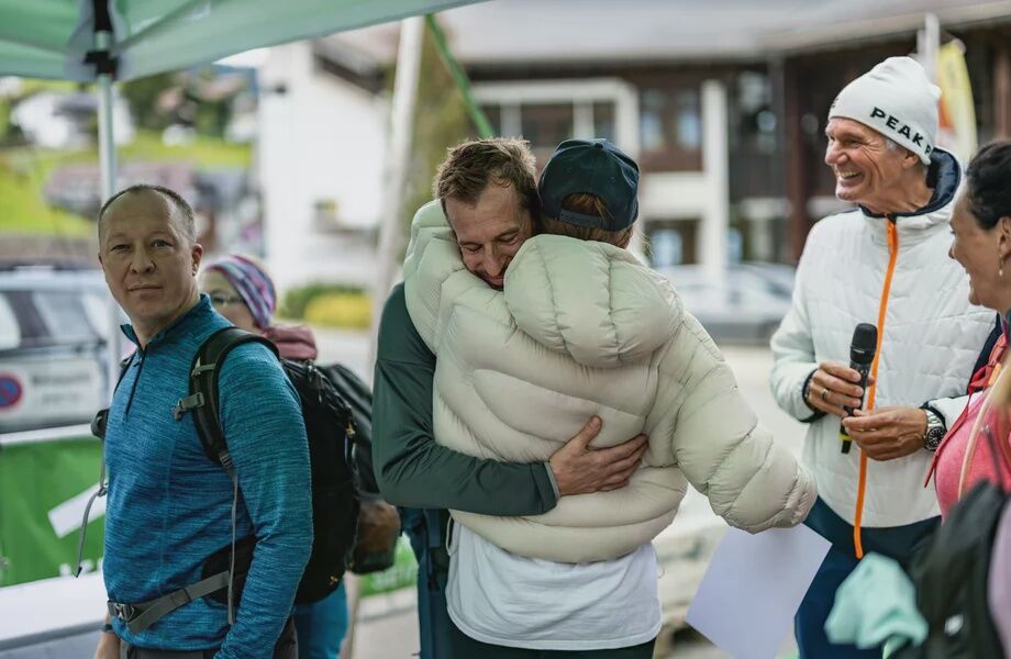
The focus of “Hike the Valley” is on experiencing nature, fostering a sense of community, and taking on a personal challenge. It is not a competition among participants; therefore, there is no timing.
Webové kamery z prohlídky
Bergstation Kanzelwandbahn Riezlern
Diedamskopf Mittelstation / Wedelstube
Diedamskopf Bergstation
Fellhorn/Oberstdorf Kleinwalsertal
Hirschegg - Naturhotel Chesa Valisa
Zaferna Bergstation
Breitenalpe
Wildentalhütte
Riezlern Unterwestegg - Gästehaus Almenrausch
Hirschegg - Hotel Birkenhöhe
Hirschegg - Hotel Sonnenberg
Mittelberg - Haus Walser Berge
Möserbahn Berg
Kanzelwand / Fellhorn
Fellhorn
Mittelberg - Bergpension Starzelhaus
Mittelberg - Gästehaus Otto Fritz
Bannholzhof
Fellhorn/Oberstdorf Kleinwalsertal
Fellhorn/Oberstdorf Kleinwalsertal
Fellhorn/Oberstdorf Kleinwalsertal
Fellhorn/Oberstdorf Kleinwalsertal
Fellhorn/Oberstdorf Kleinwalsertal
Fellhorn/Oberstdorf Kleinwalsertal
Fellhorn/Oberstdorf Kleinwalsertal
Bannholzhof
Kleinwalsertal / Haus Keti
Kleinwalsertal
Ifenbahn Bergstation
Riezlern - Haus Peter Paul
Riezlern - Landhaus Evi
Hirschegg - Hotel Birkenhöhe
Kleinwalsertal - Ifenbahn
Kleinwalsertal - Kanzelwandbahn
Naturhotel Chesa Valisa
Ferienhaus Oberwiese
Alpenwald
Haus Berg & Tal / Hirschegg
Kesslerlift
Riezler Höhe

Oblíbené prohlídky v okolí
- 4.7
Winterstaude
středníTuristika 9.30 km - 4.1
Kanisfluh, 2.044 m
středníTuristika 4.41 km - 4.6
Mountain tour over the Fellhorn ridge
středníTuristika 8.24 km - 4.6
Au | Sonnenauf- und Sonnenuntergangswanderung auf die Kanisfluh
středníTuristika 5.55 km - 4.8
Circular hike through the Gemsteltal
světloTuristika 5.53 km - 4.2
2-Länder-Panorama-Rundwanderweg Fellhorn/Kanzelwand
světloTuristika 6.70 km - 4.5
Circular hike through the Derratal
středníTuristika 8.11 km - 4.7
Widderstein Runde von Baad
středníTuristika 15.8 km - 4.7
Circular hike through the Duratal
středníTuristika 7.77 km - 4.3
Circular hike through the Bärgunttal
středníTuristika 4.75 km
Pěší turistika a stopování


Nenechte si ujít nabídky a inspiraci pro vaši příští dovolenou
Vaše e-mailová adresa byl přidán do poštovního seznamu.





