






Mountain tour over the Fellhorn ridge
Úroveň obtížnosti: T3
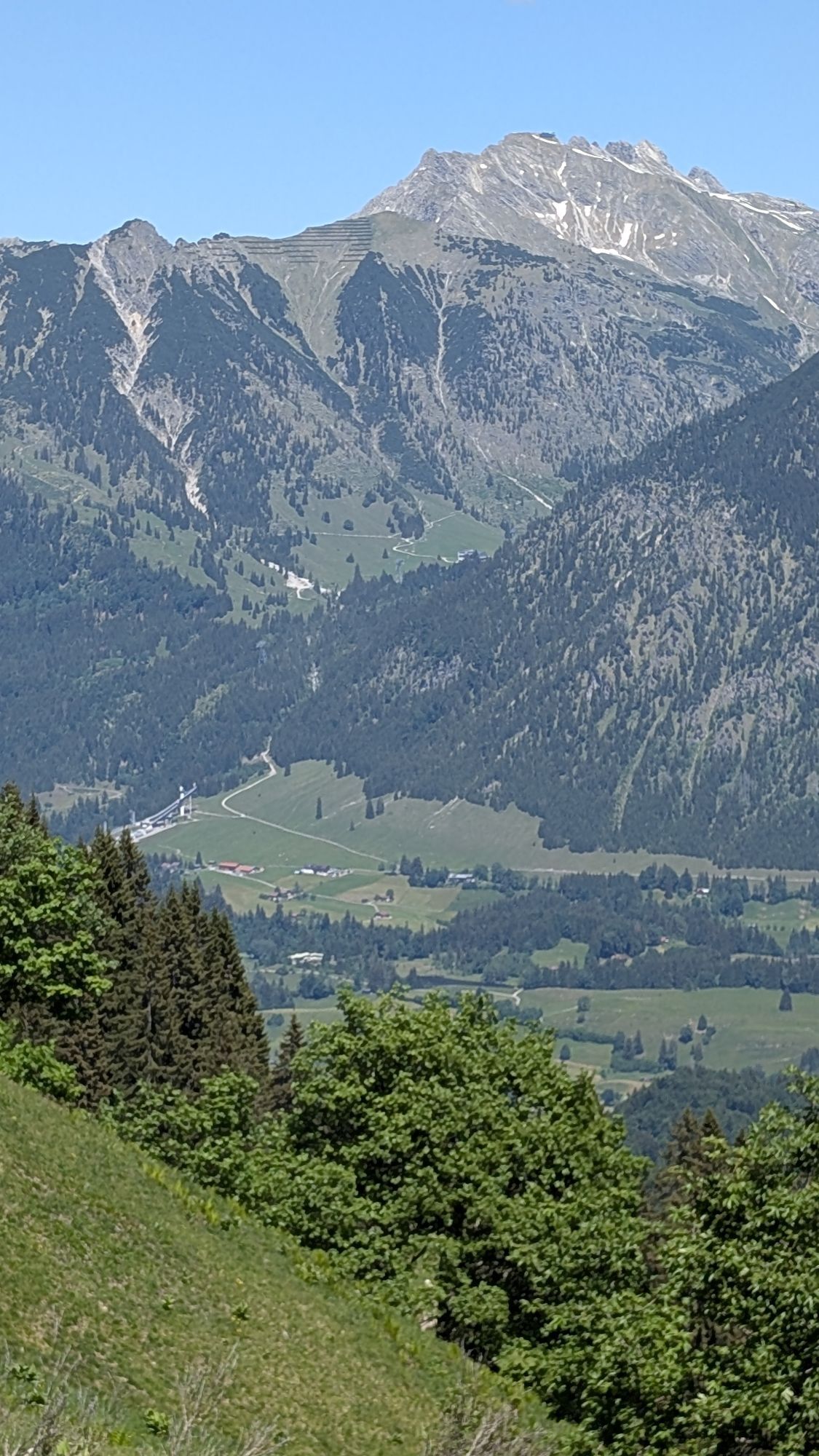
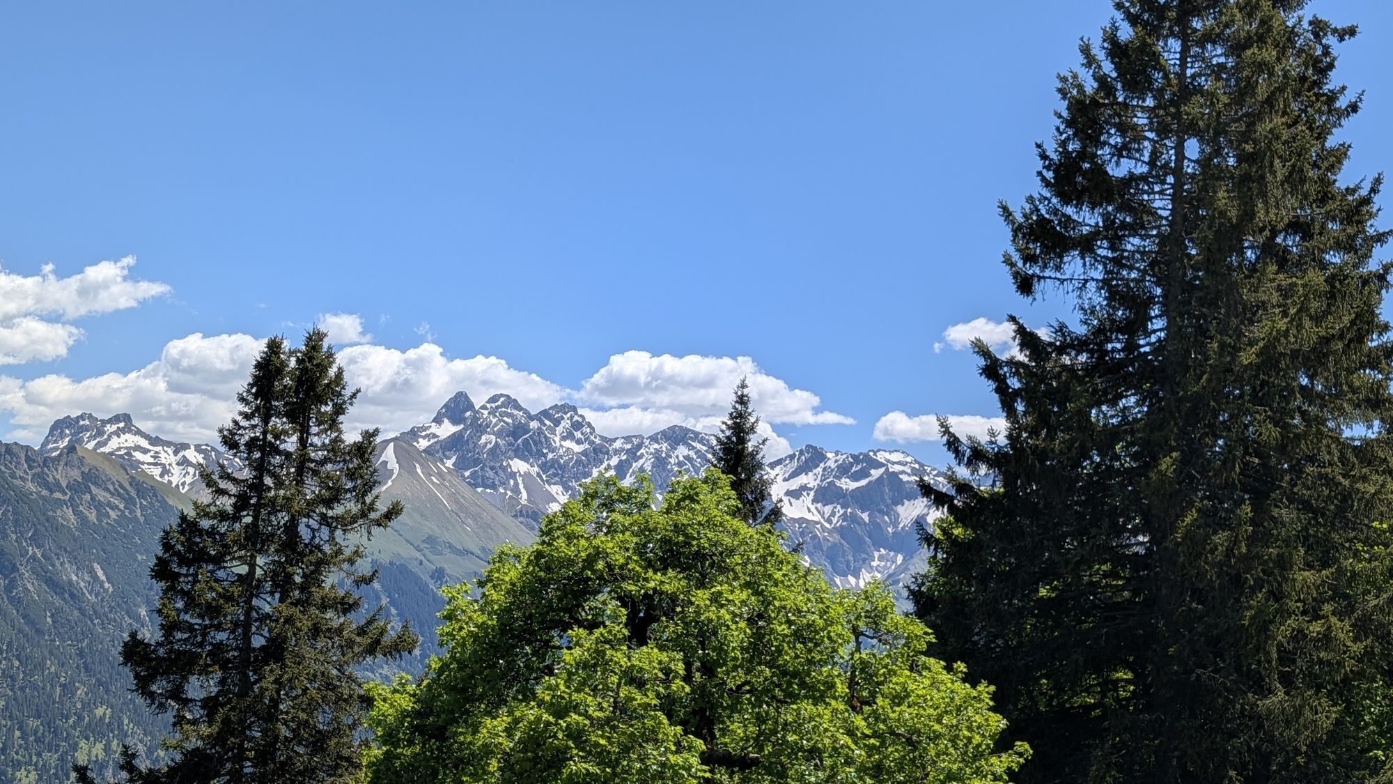
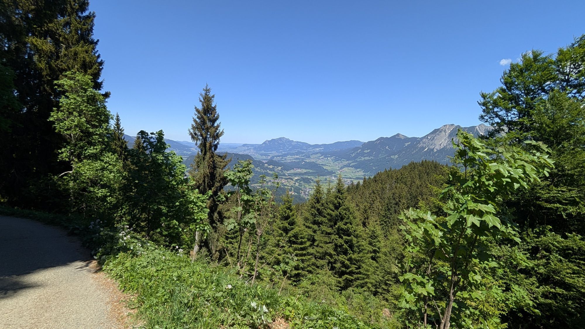
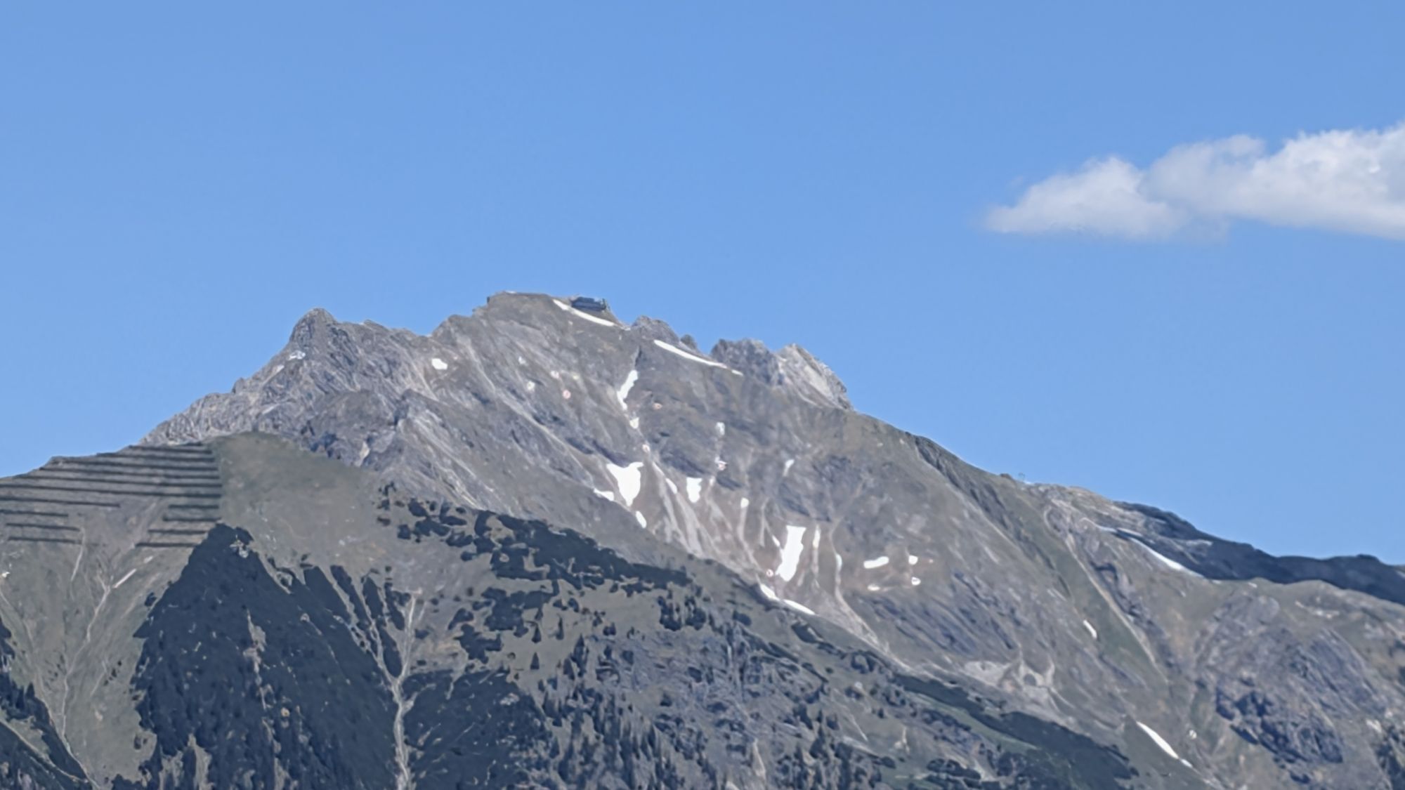
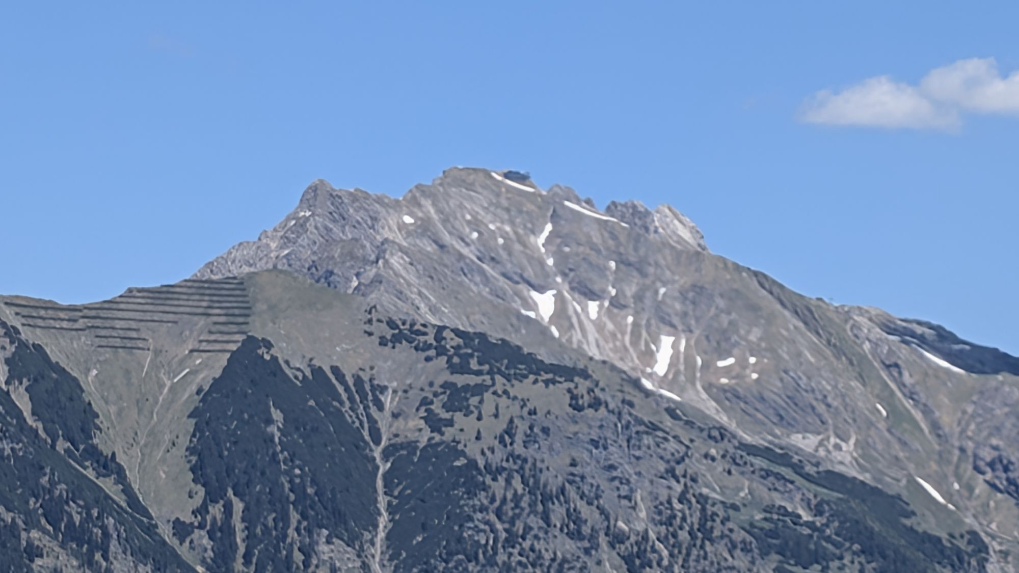
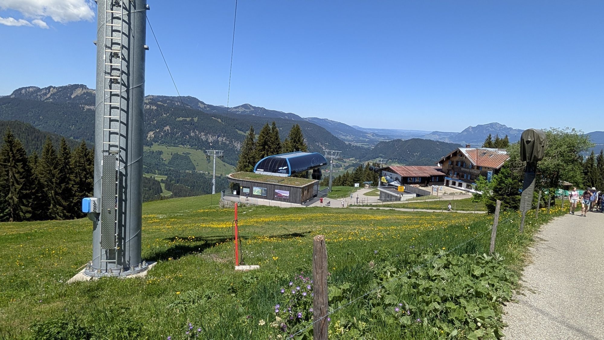
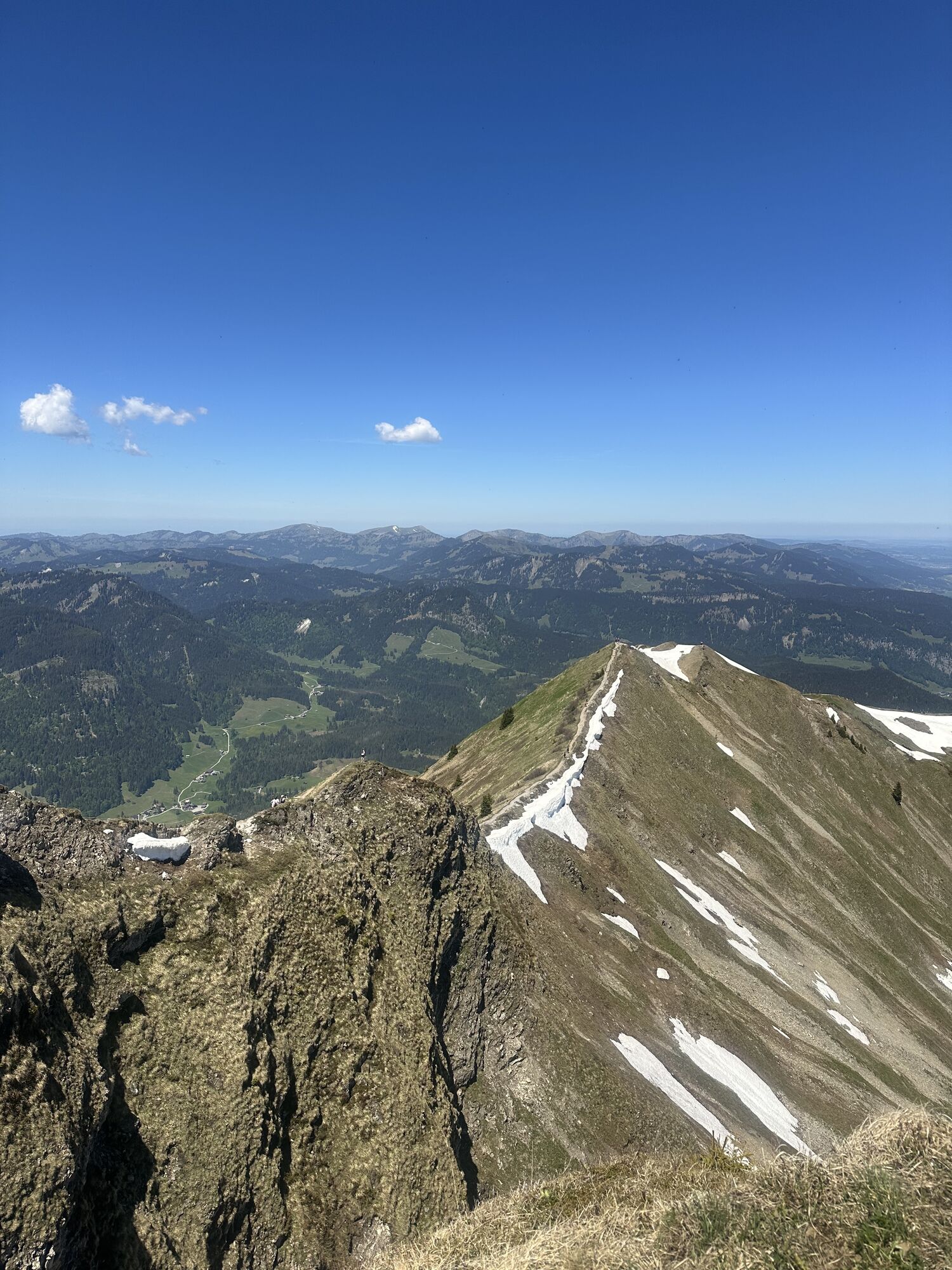
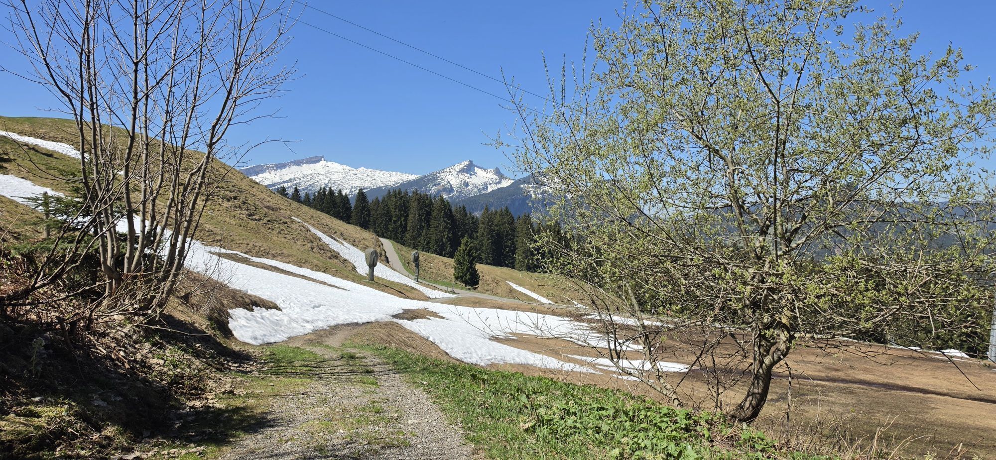
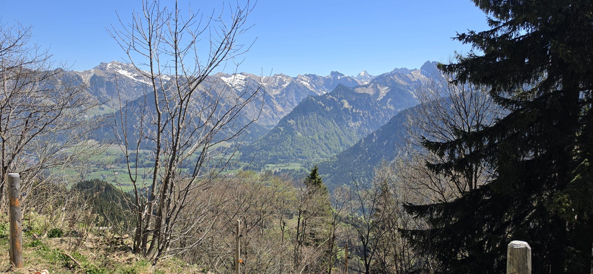
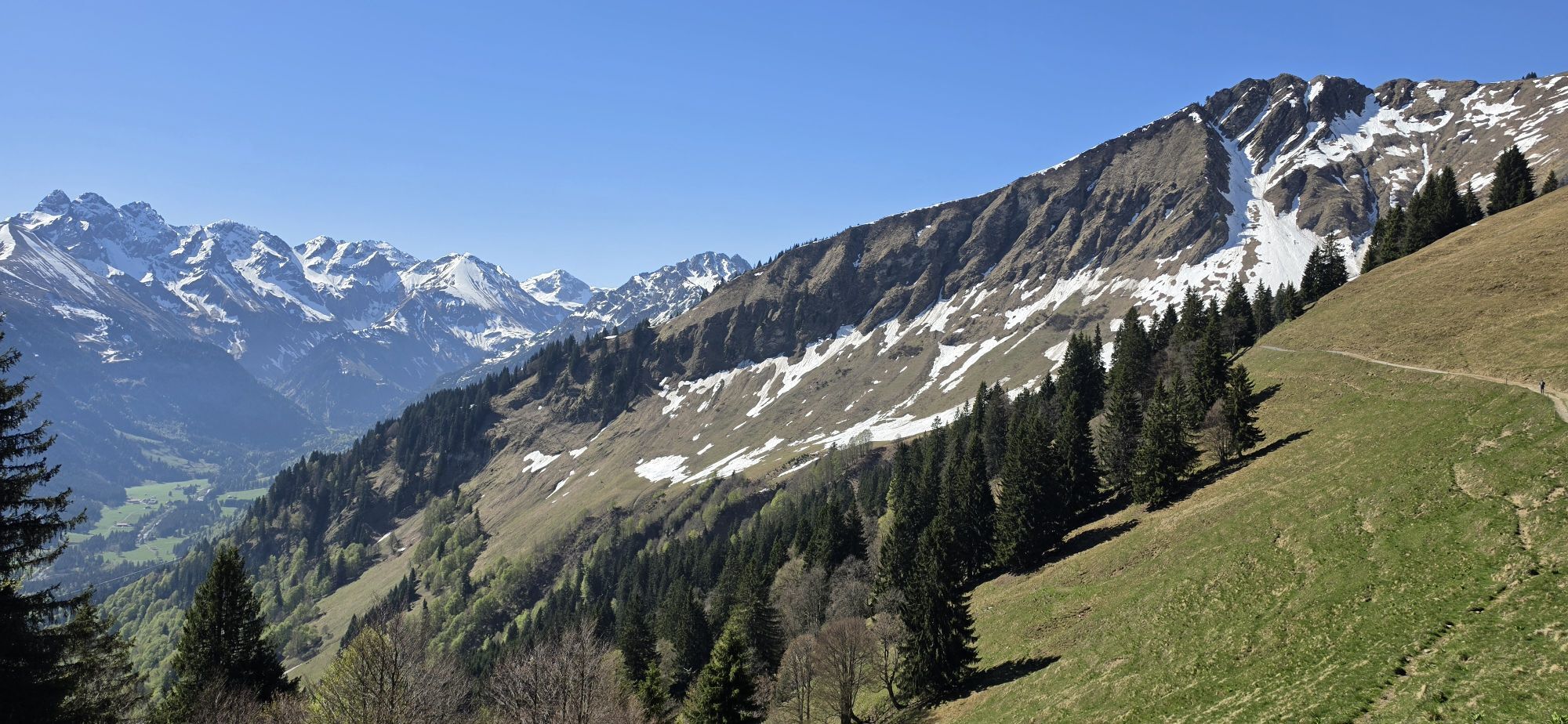
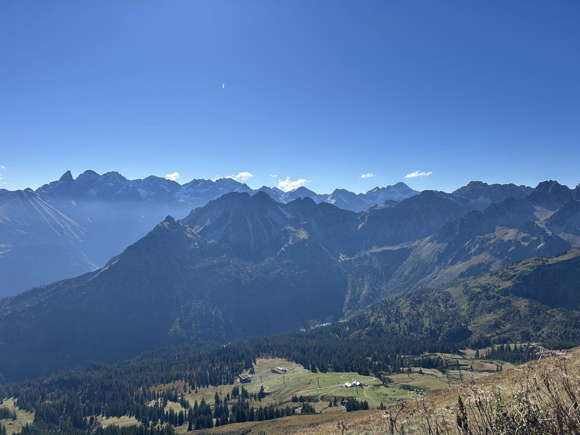
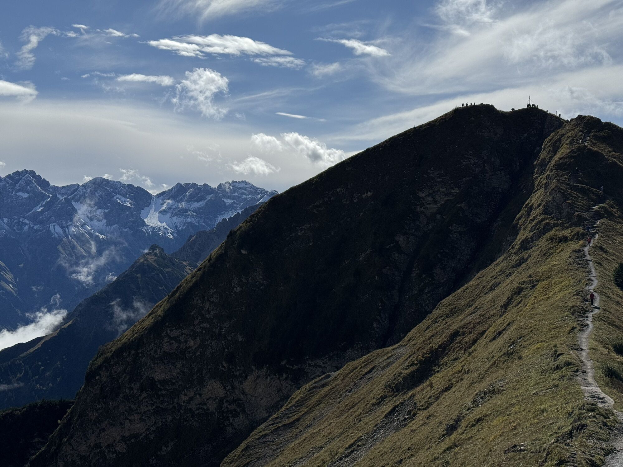
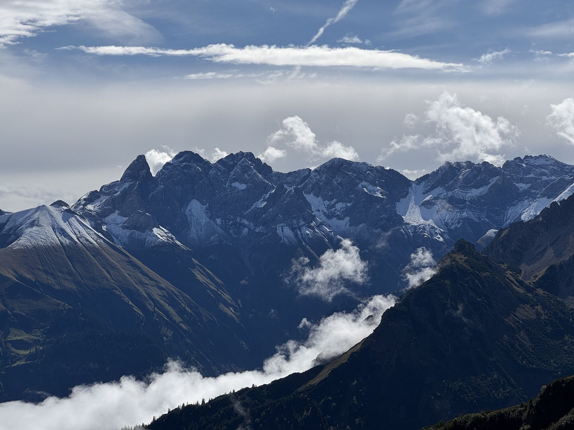
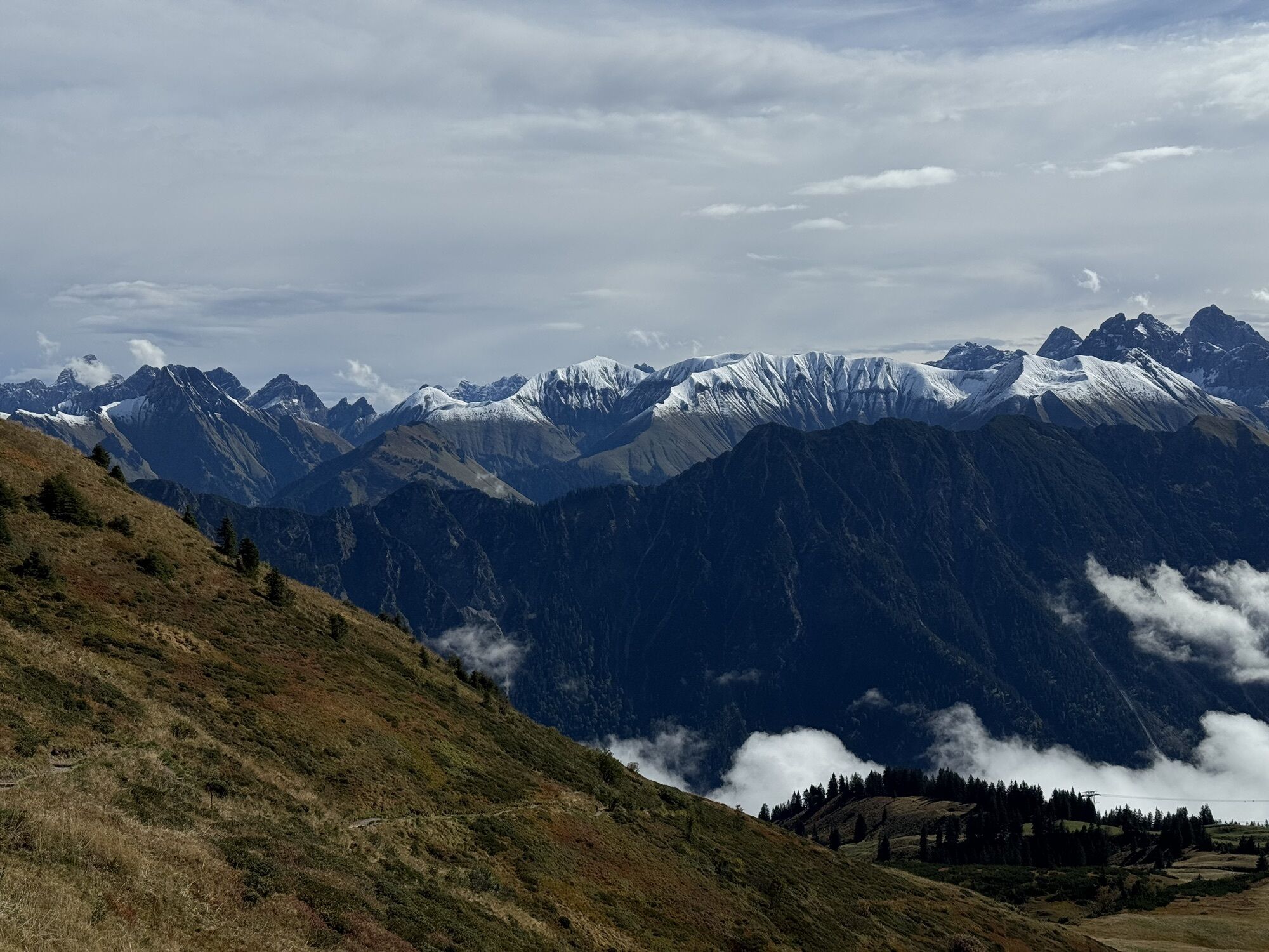
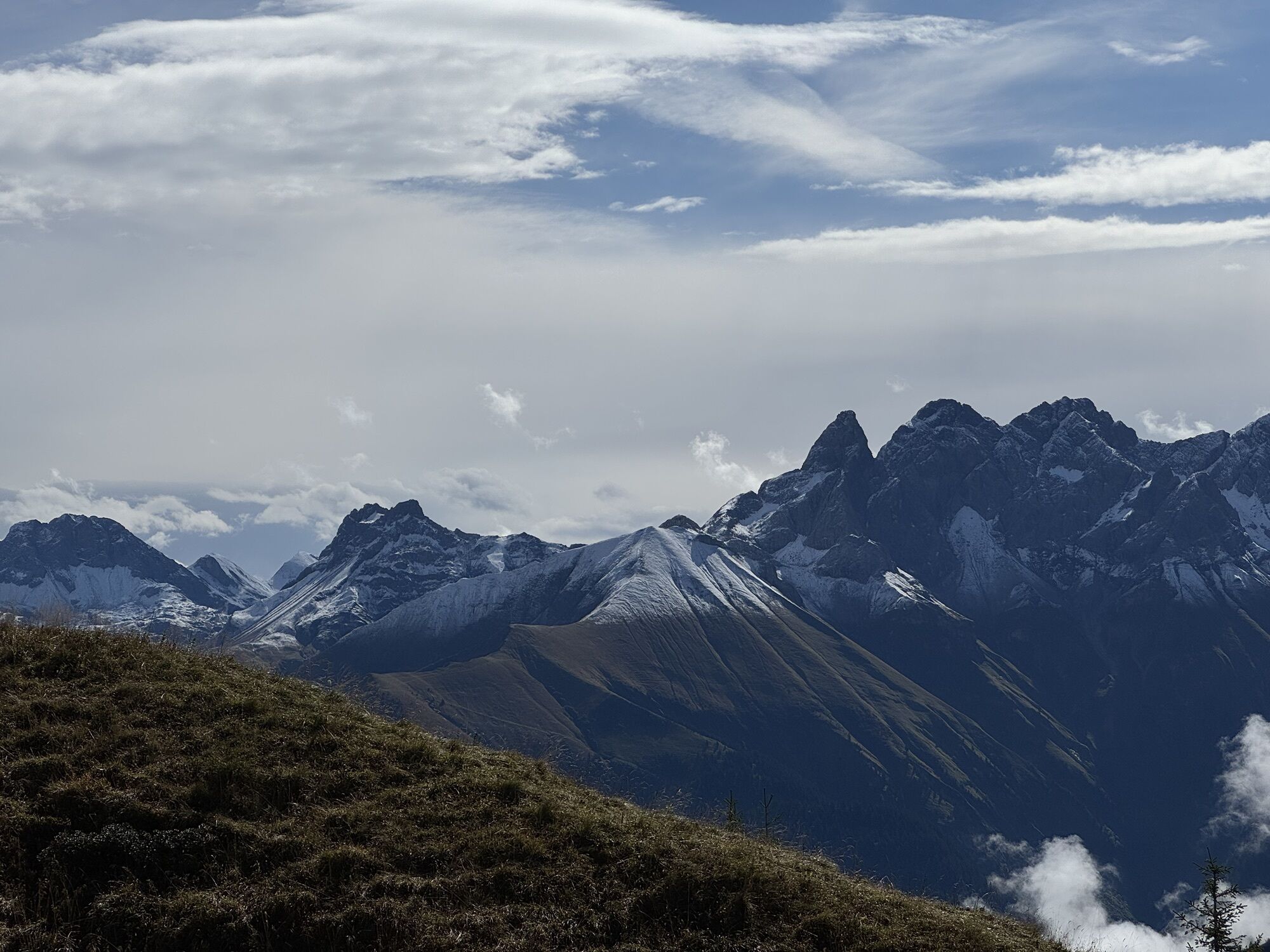
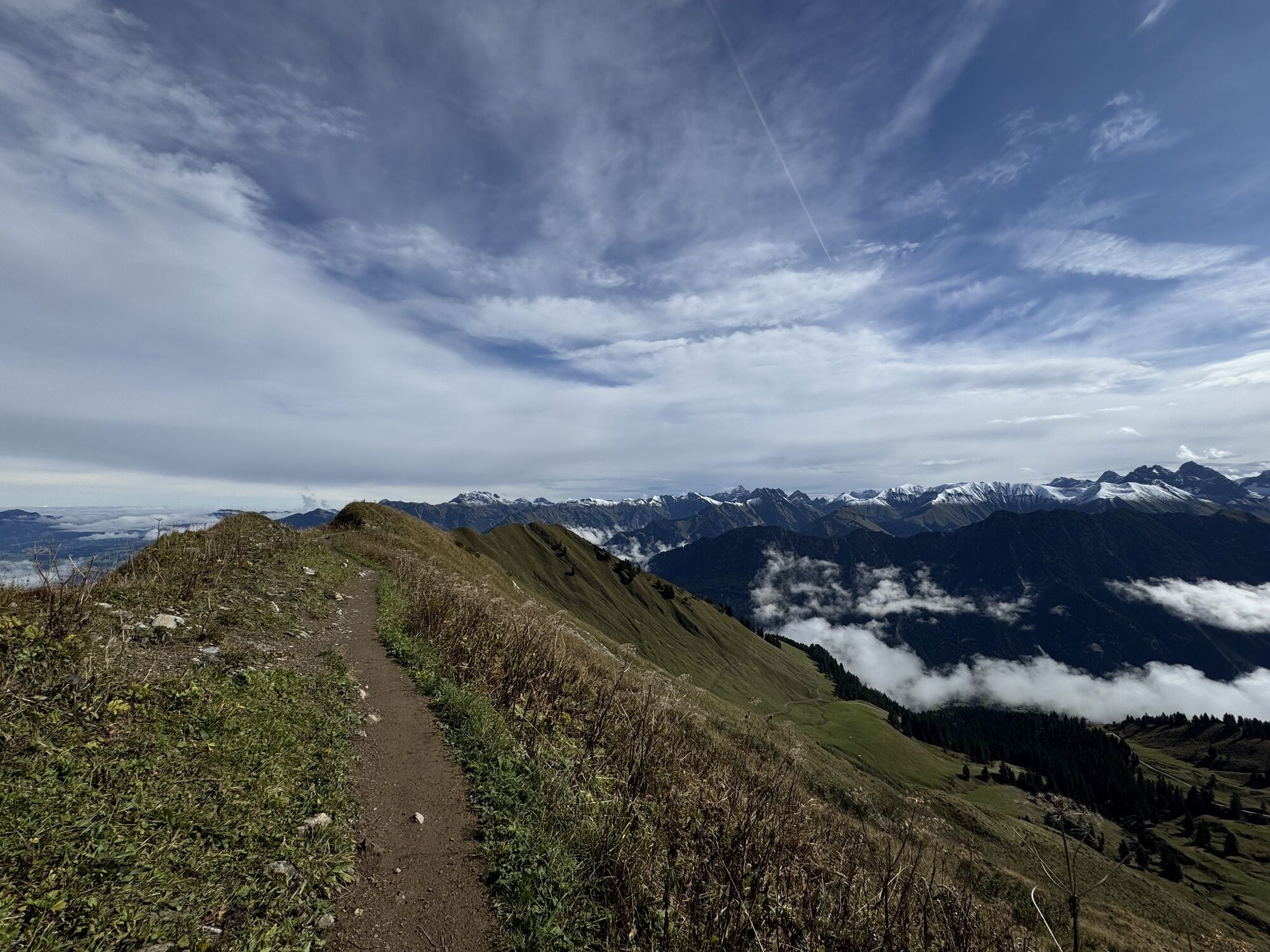
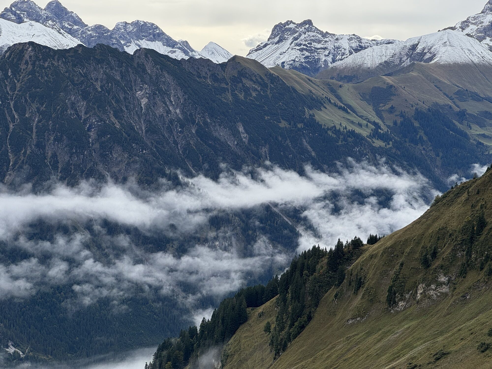
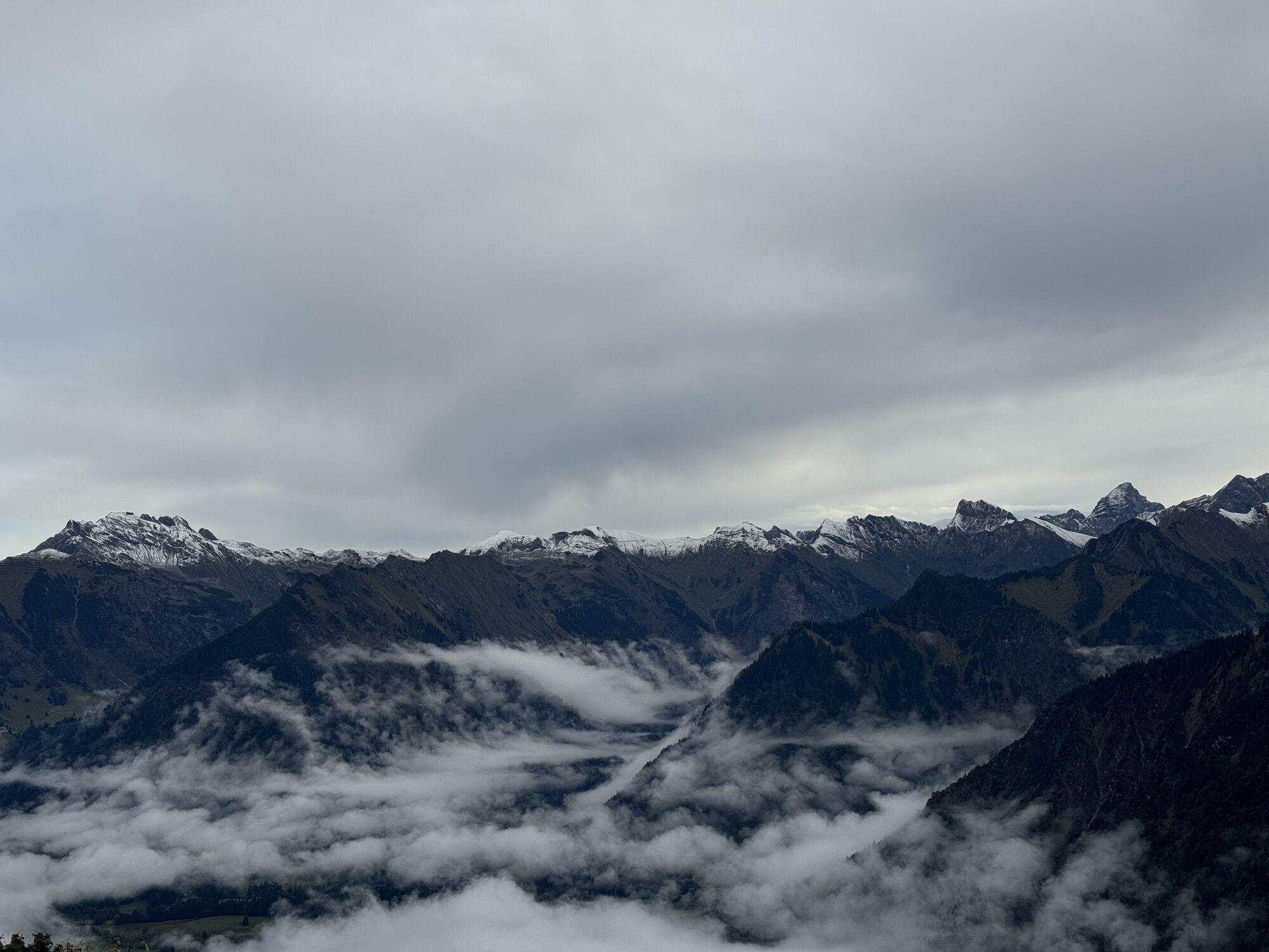


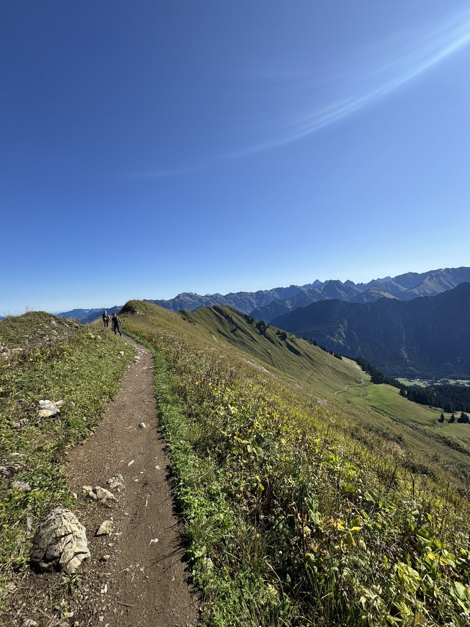
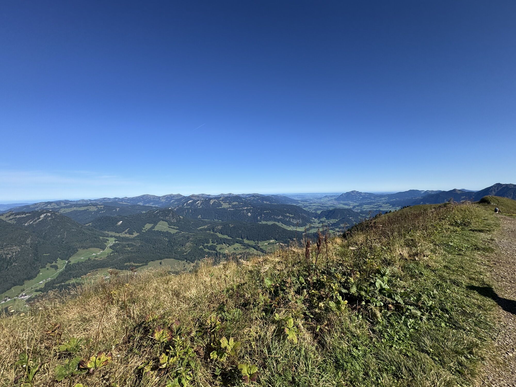
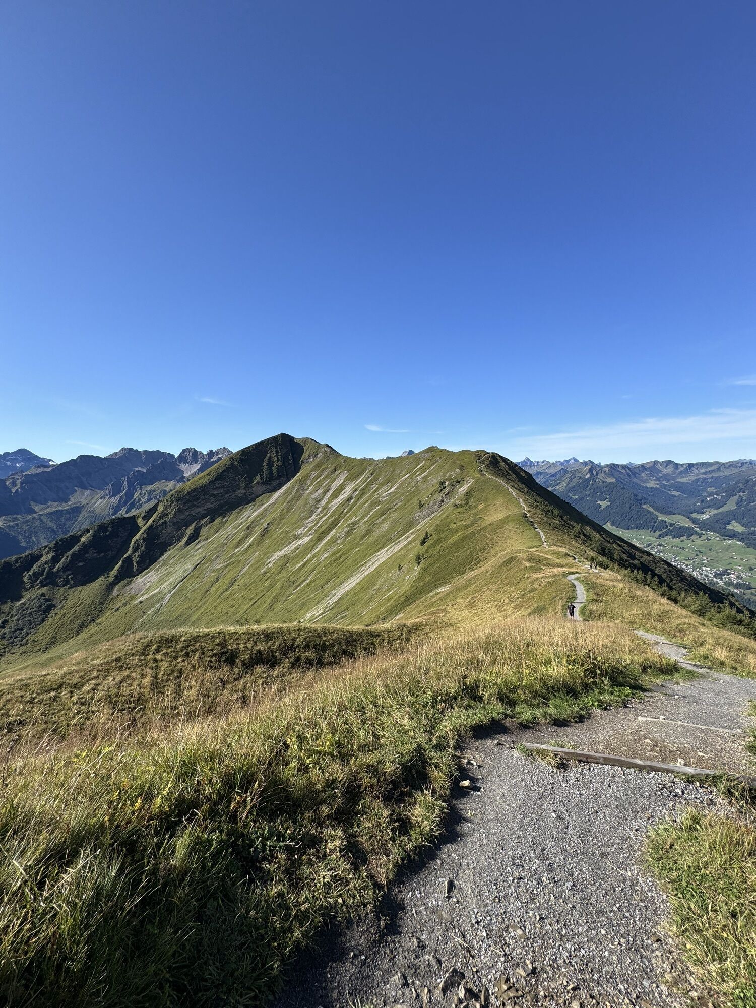
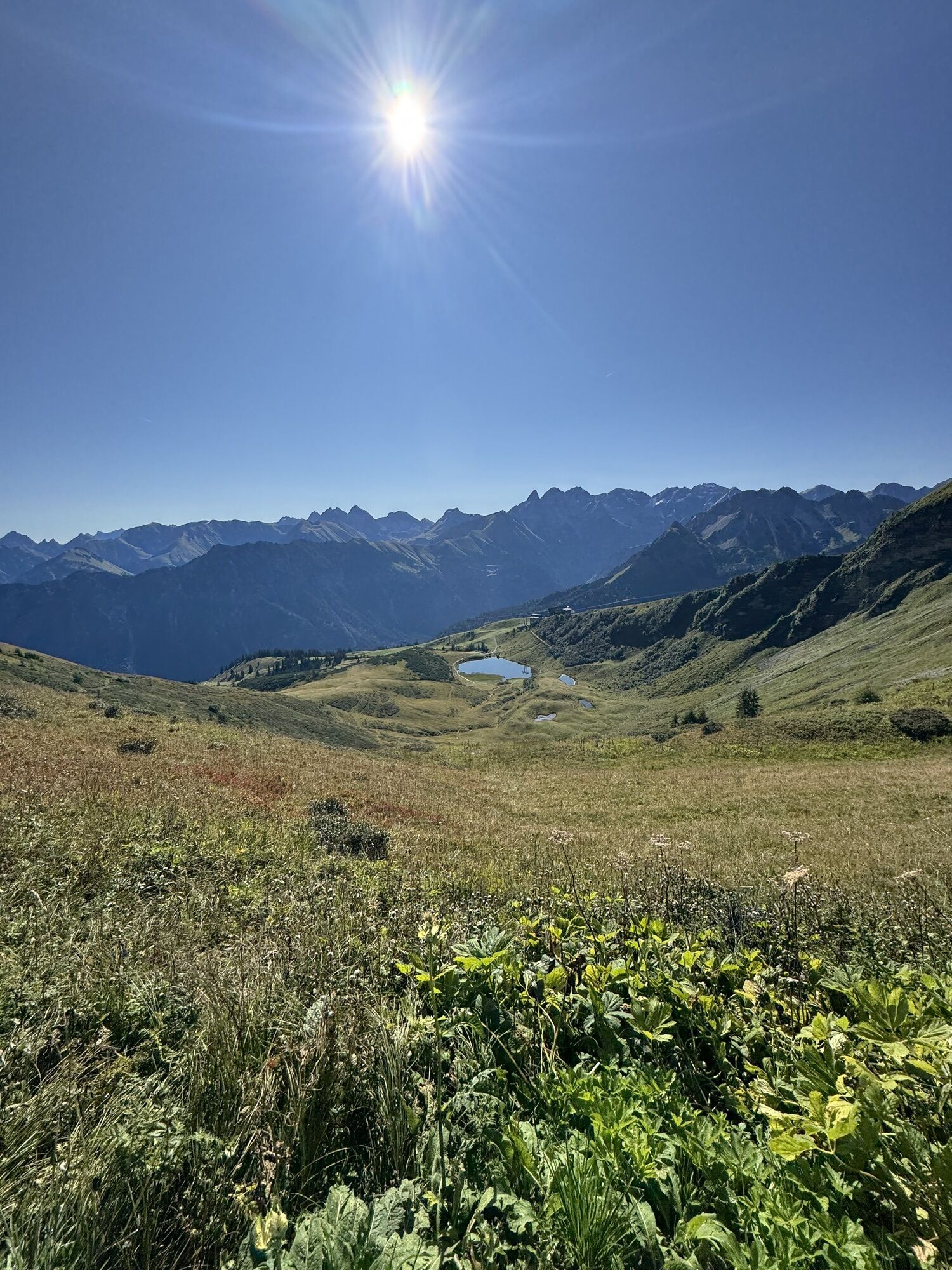

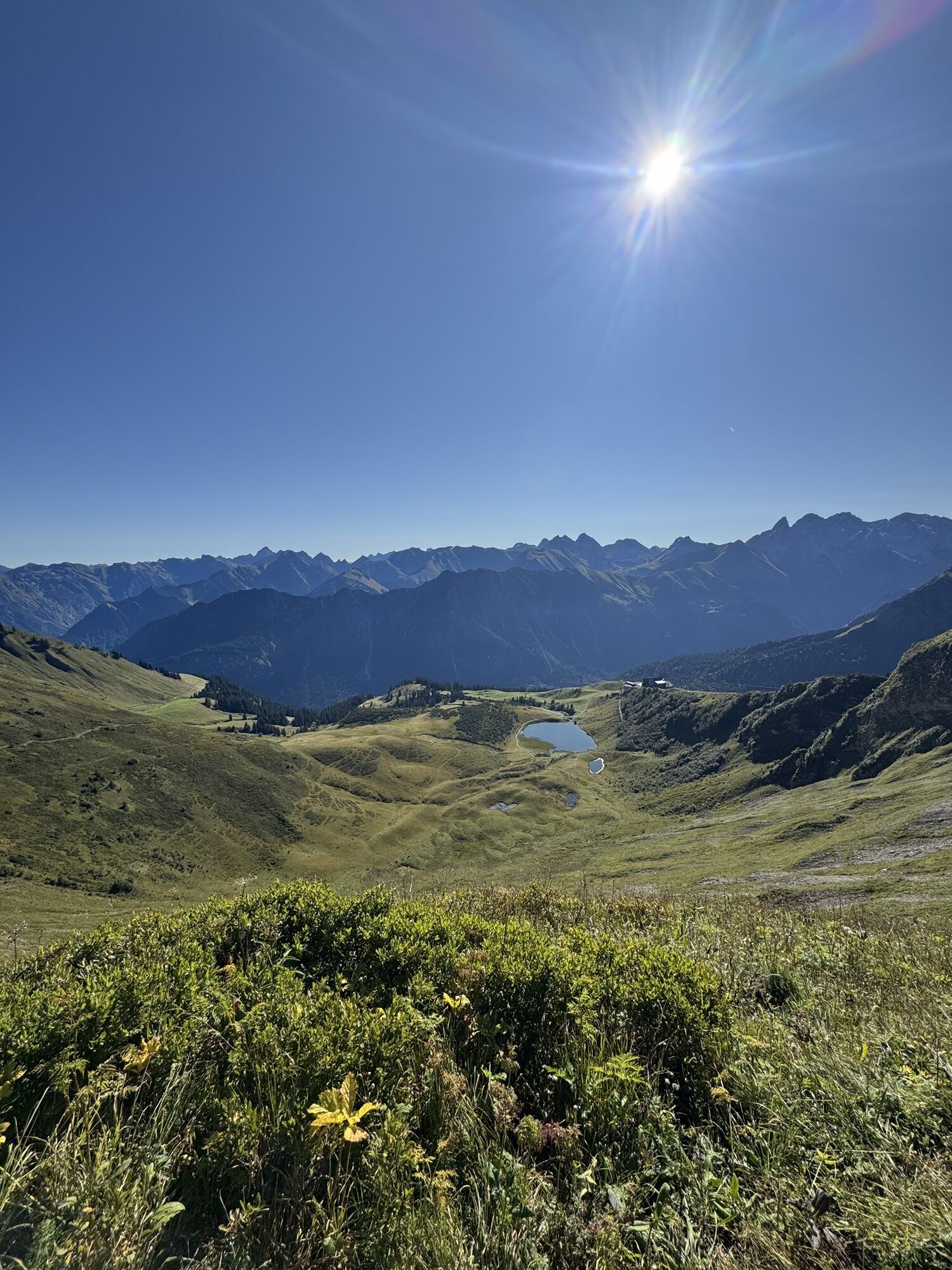
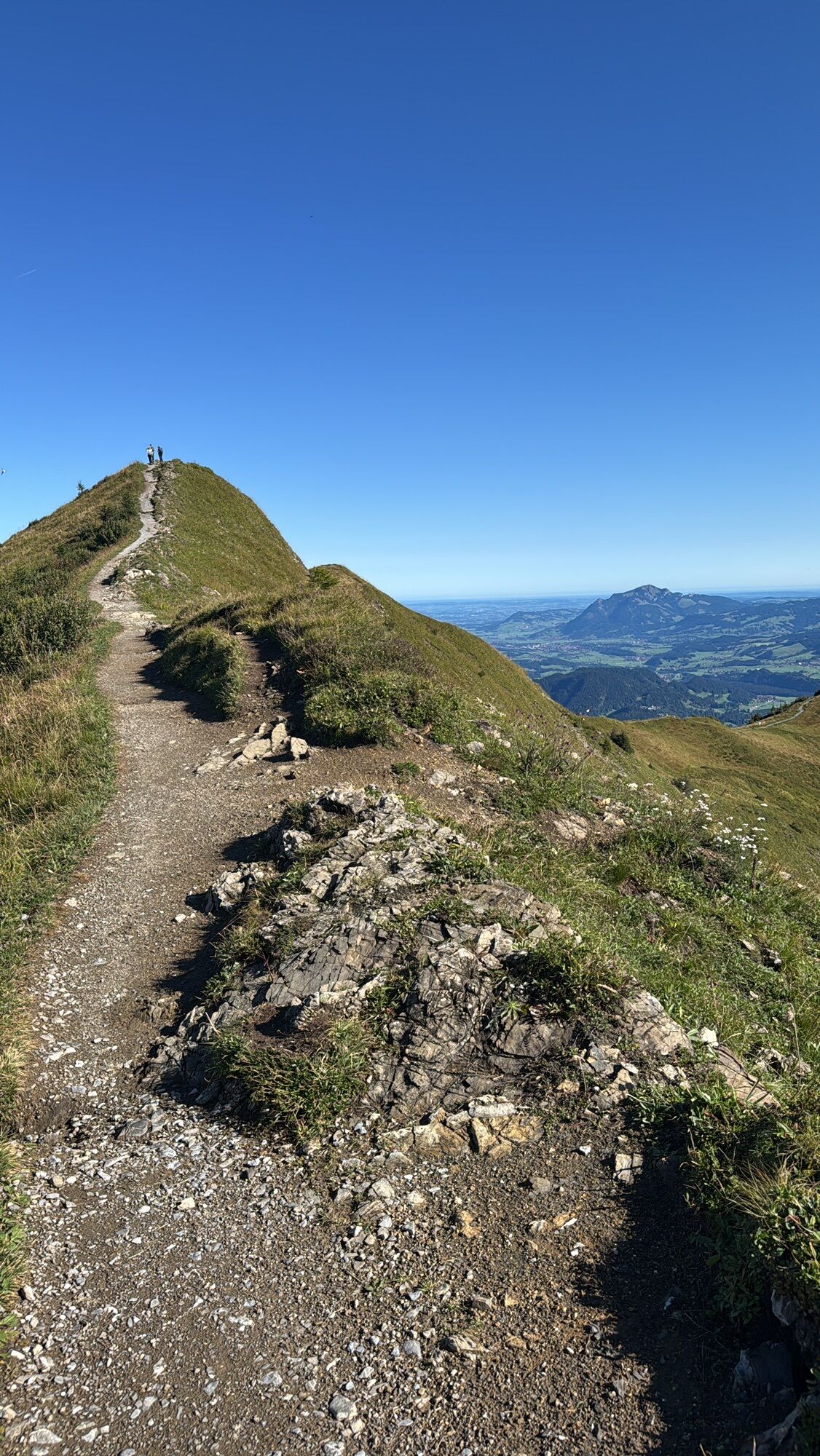
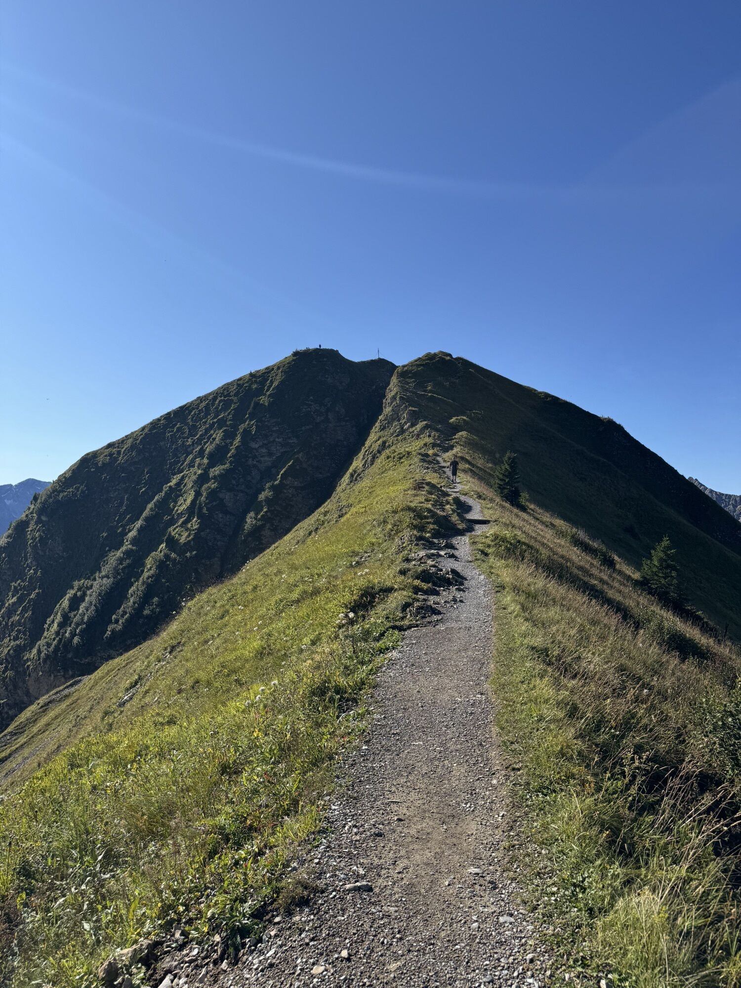
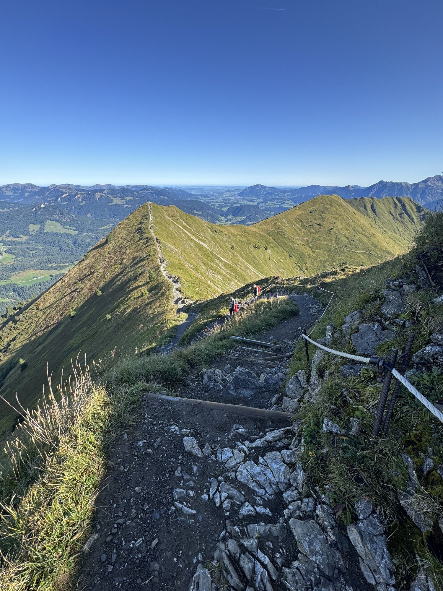

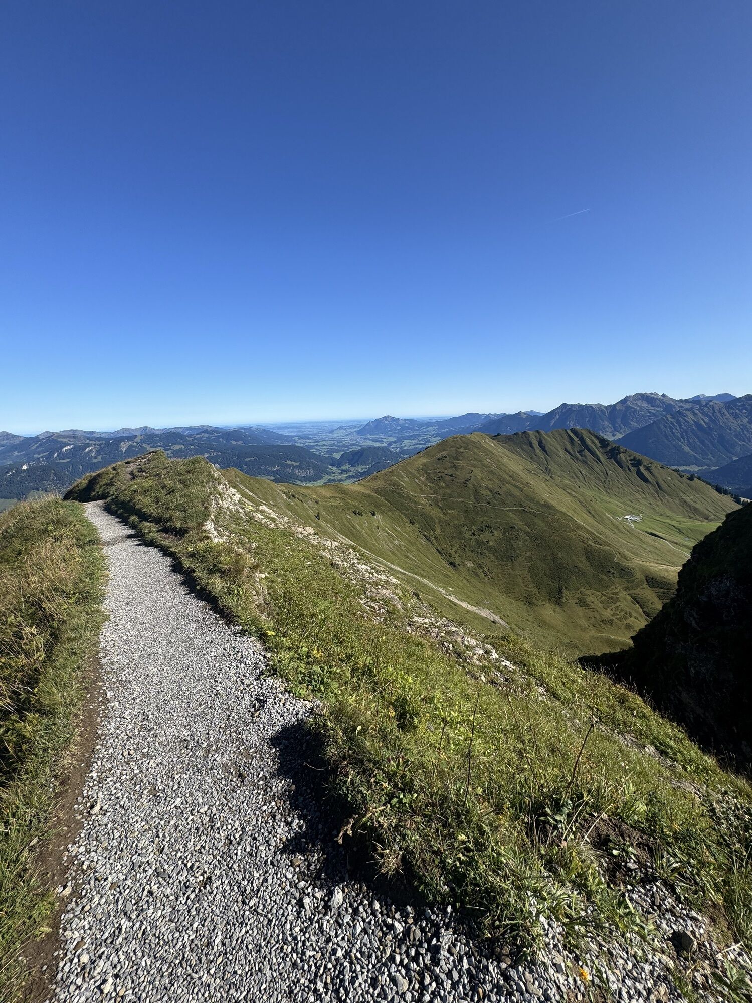
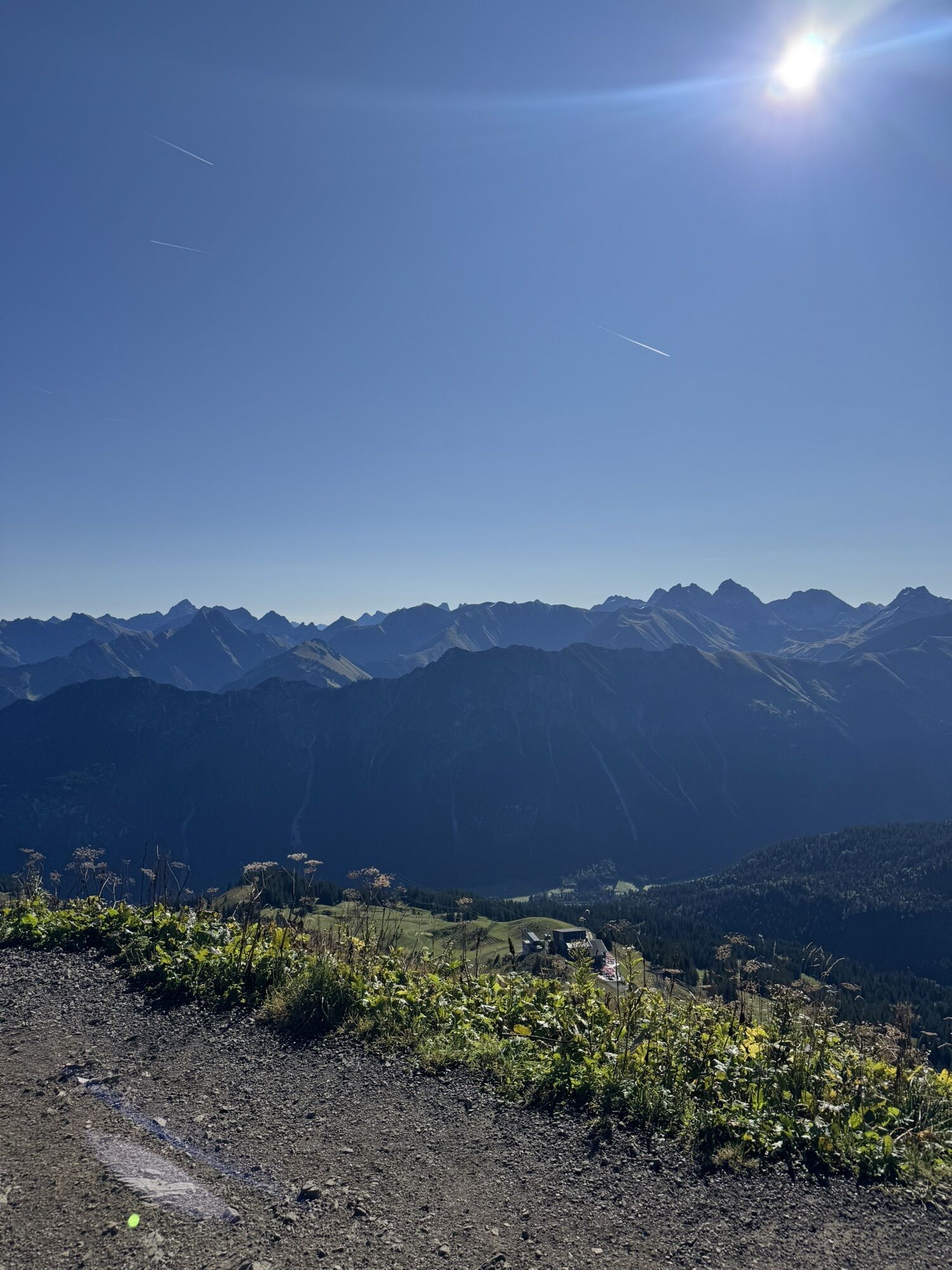
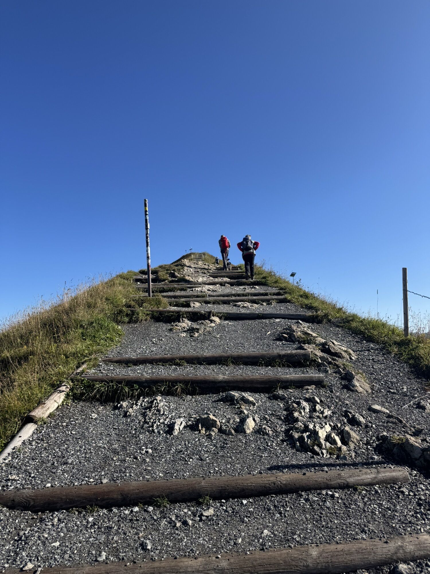
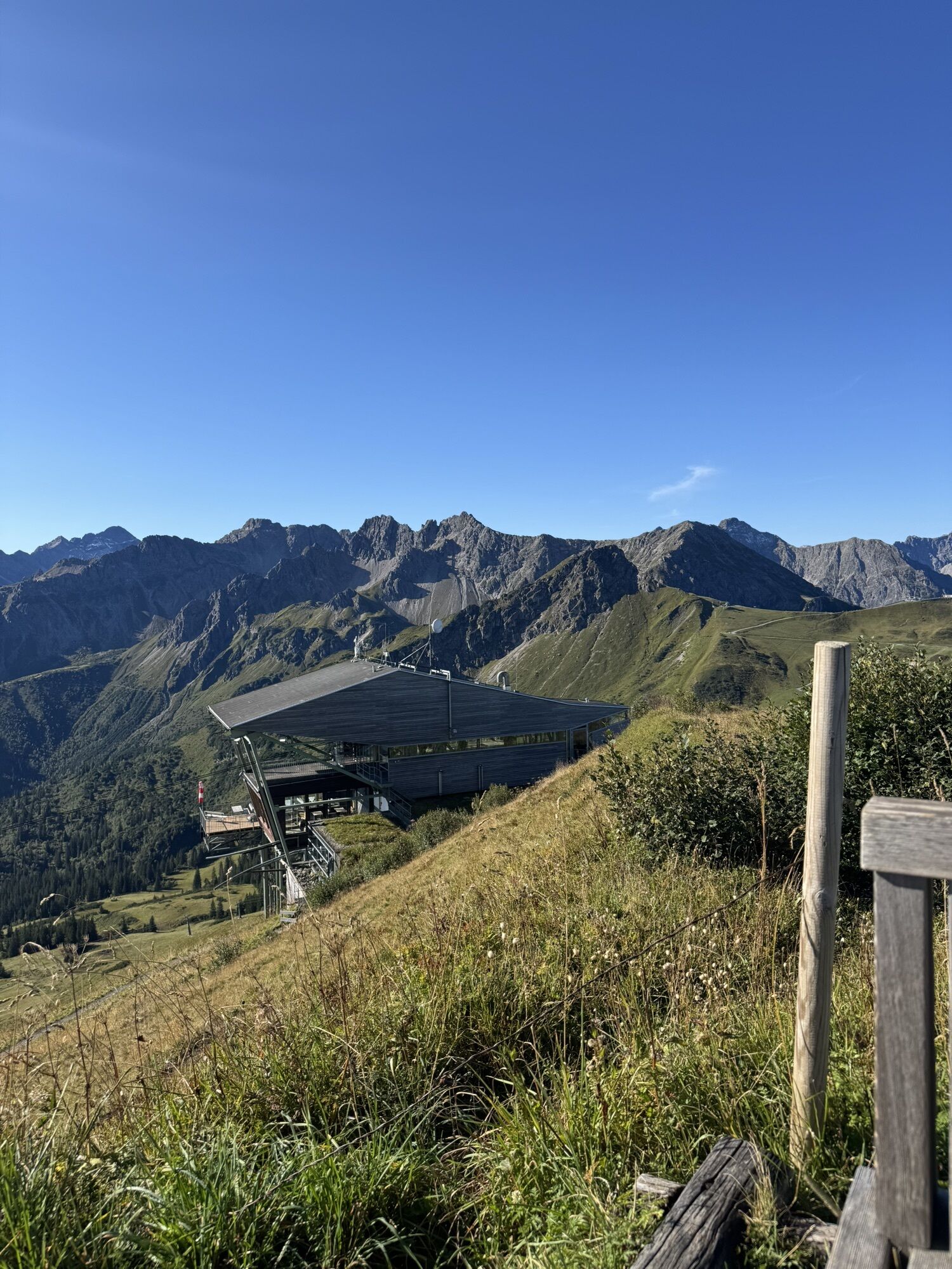
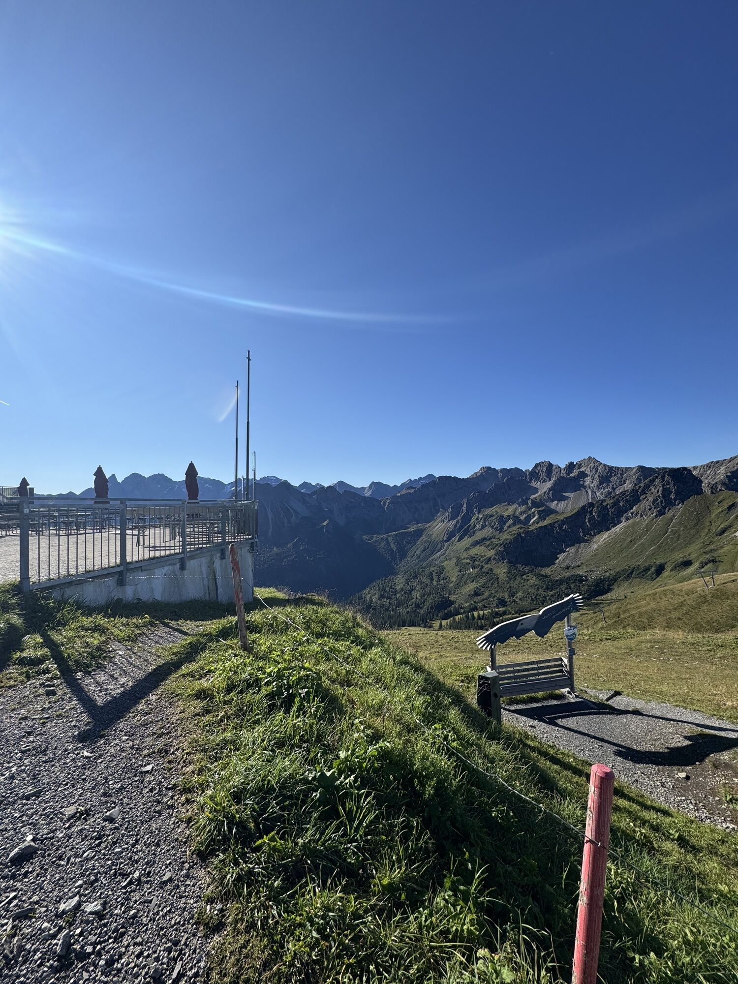
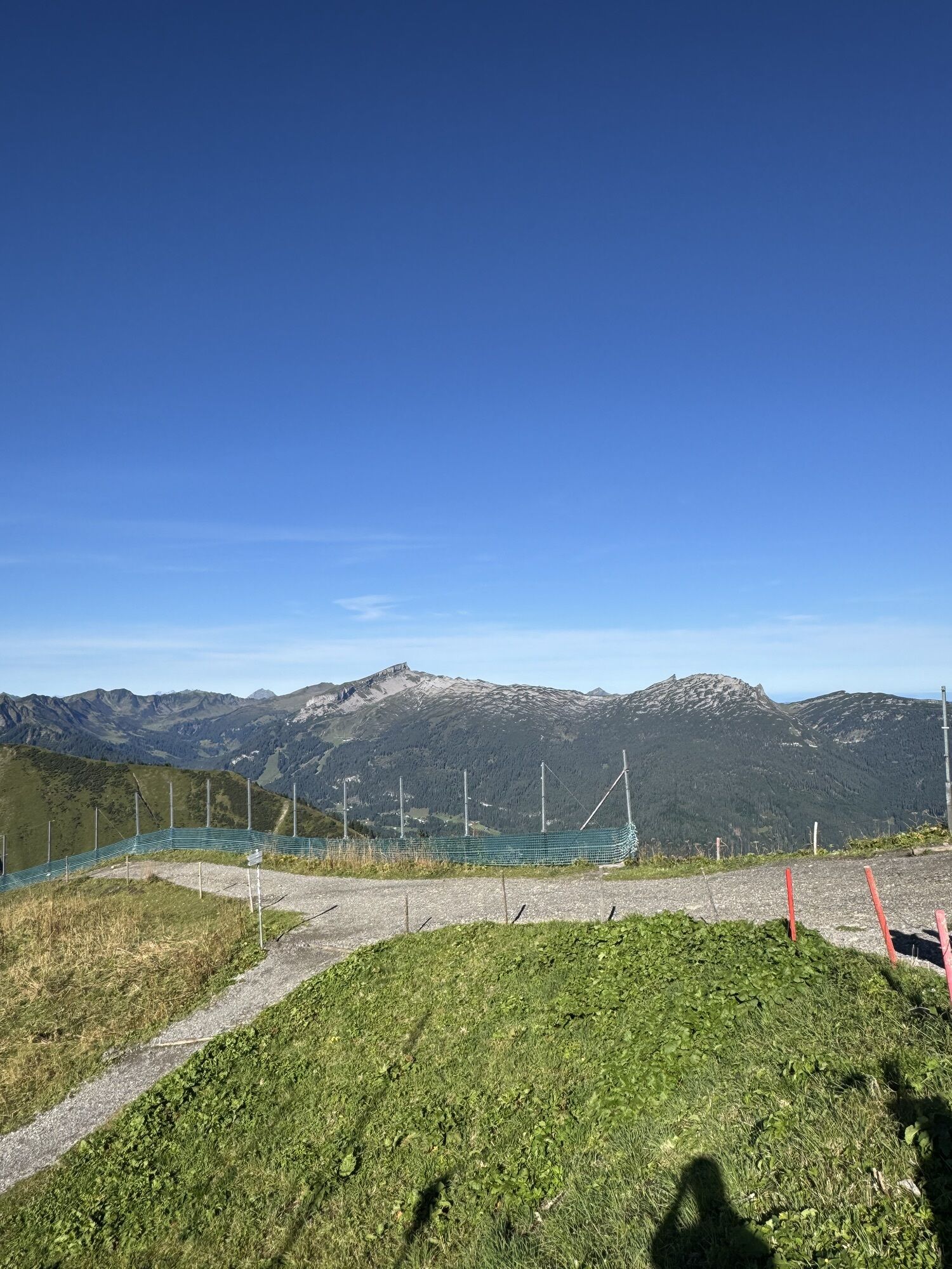

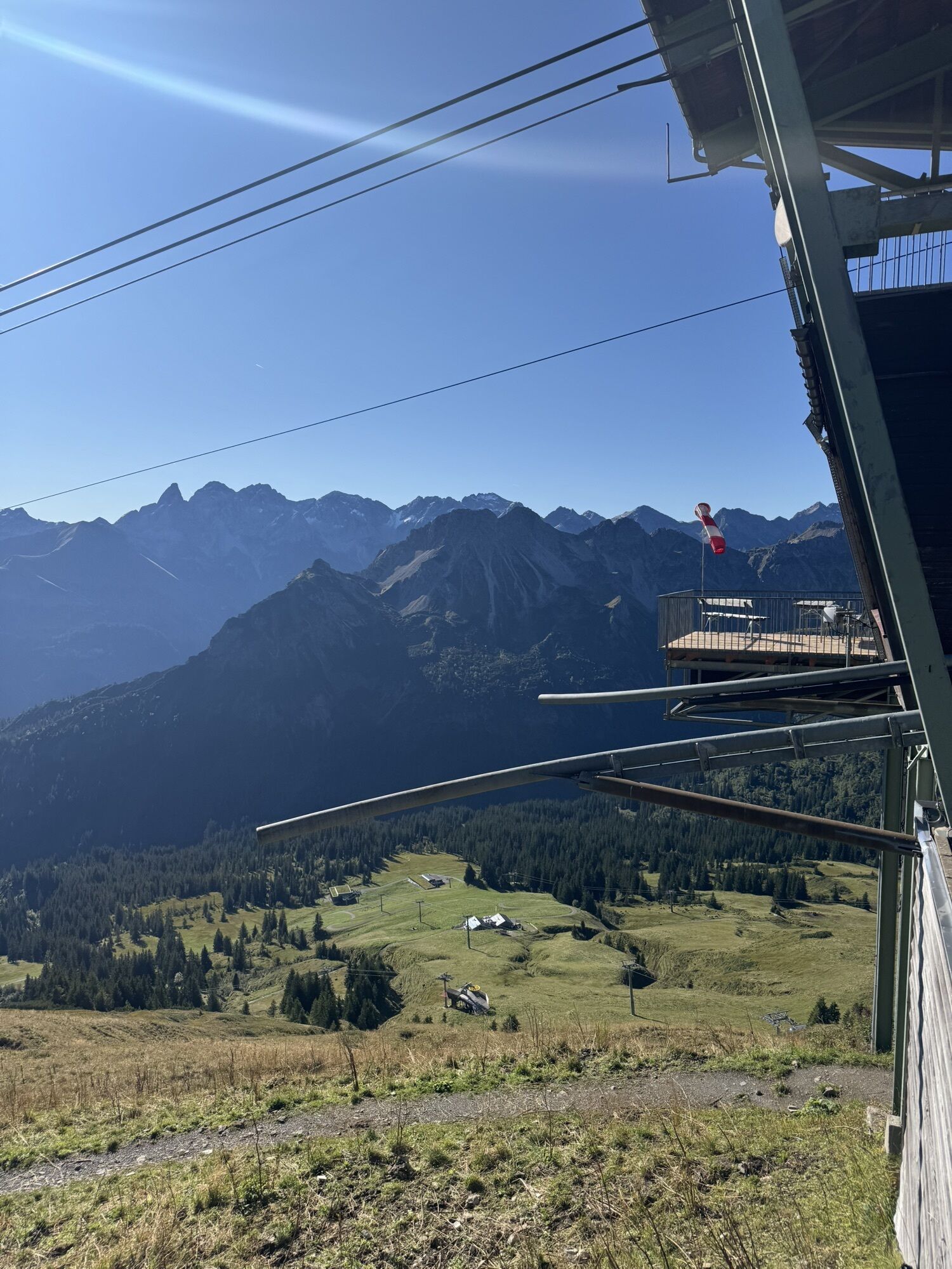
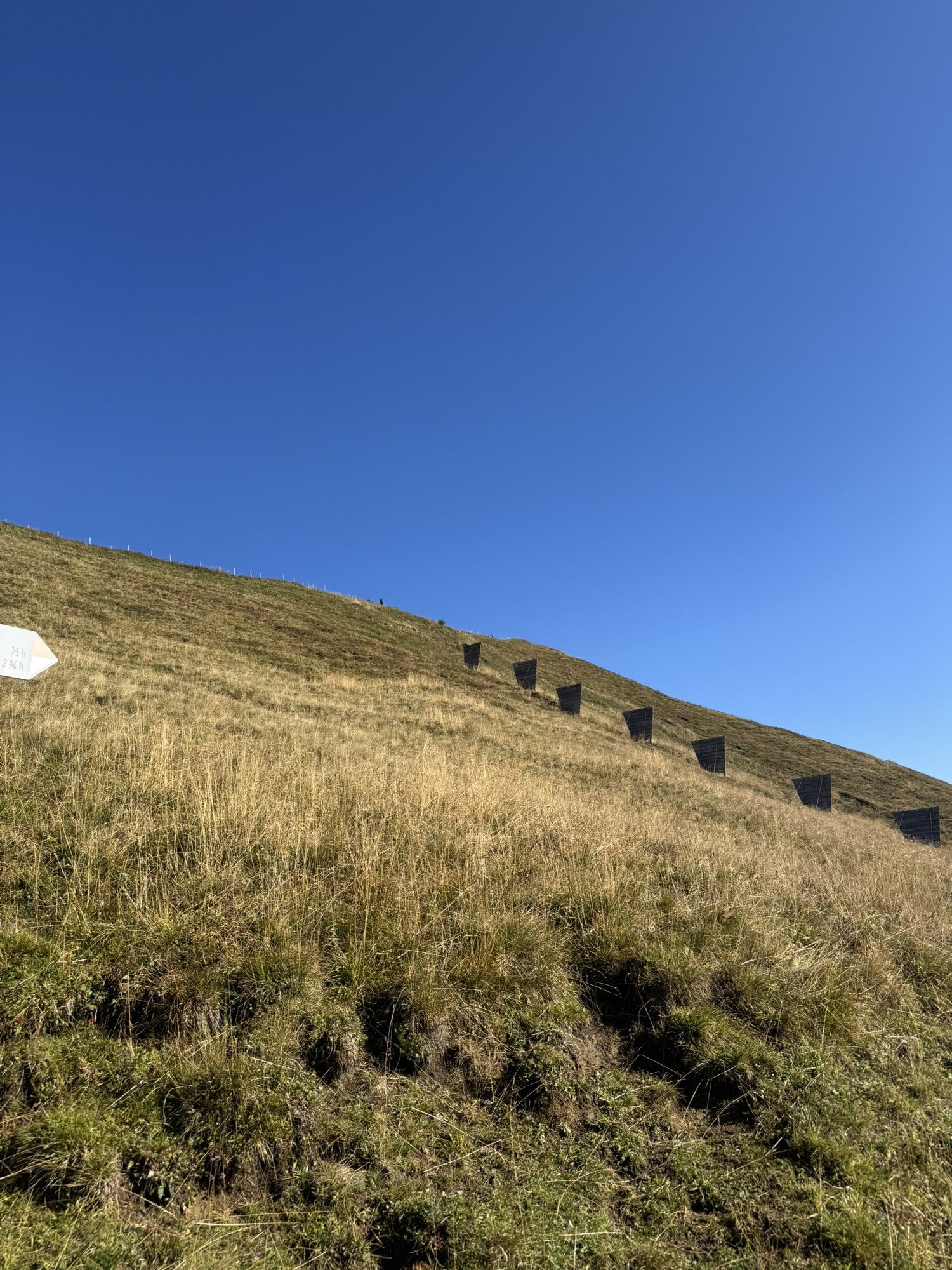
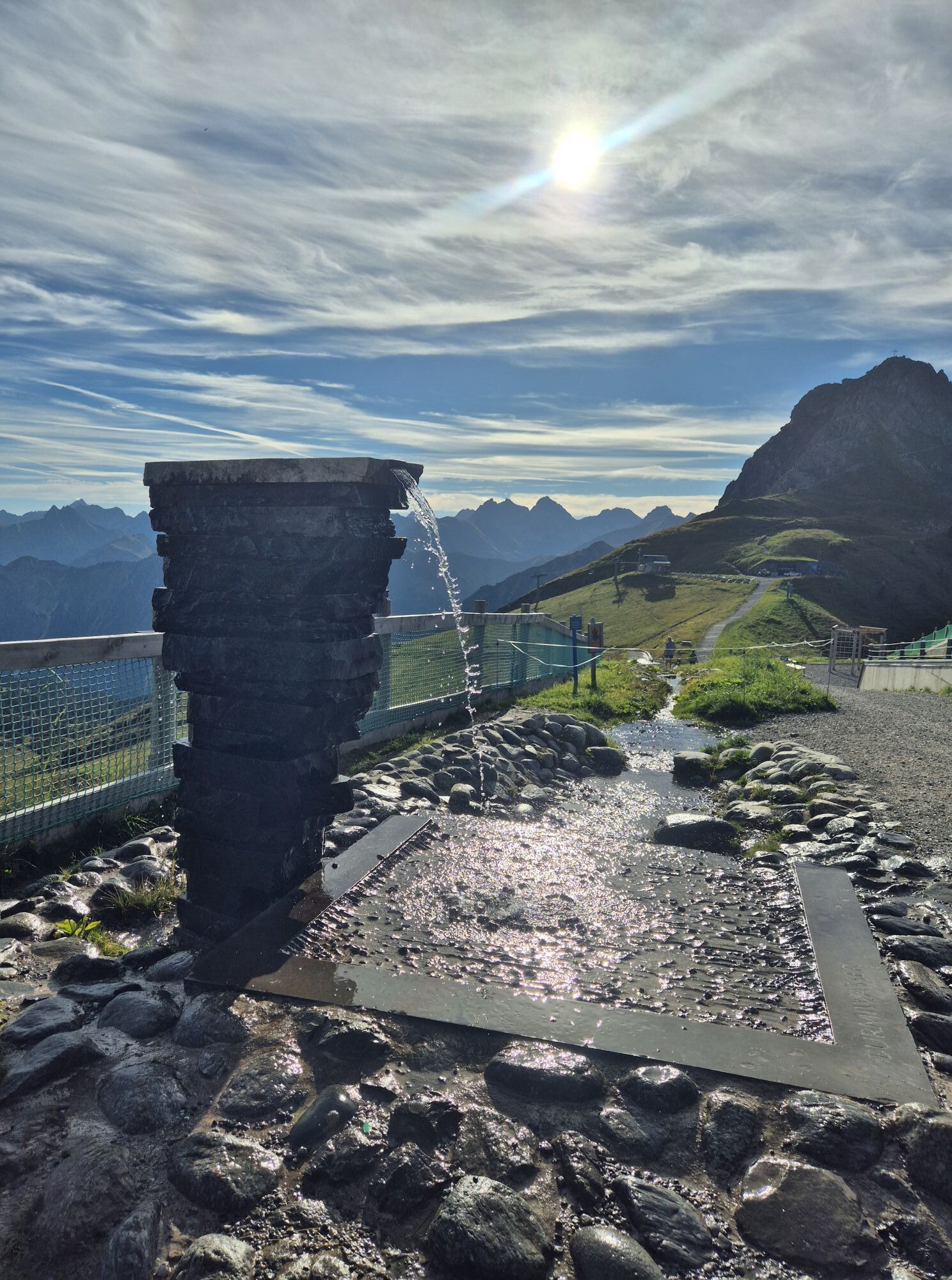
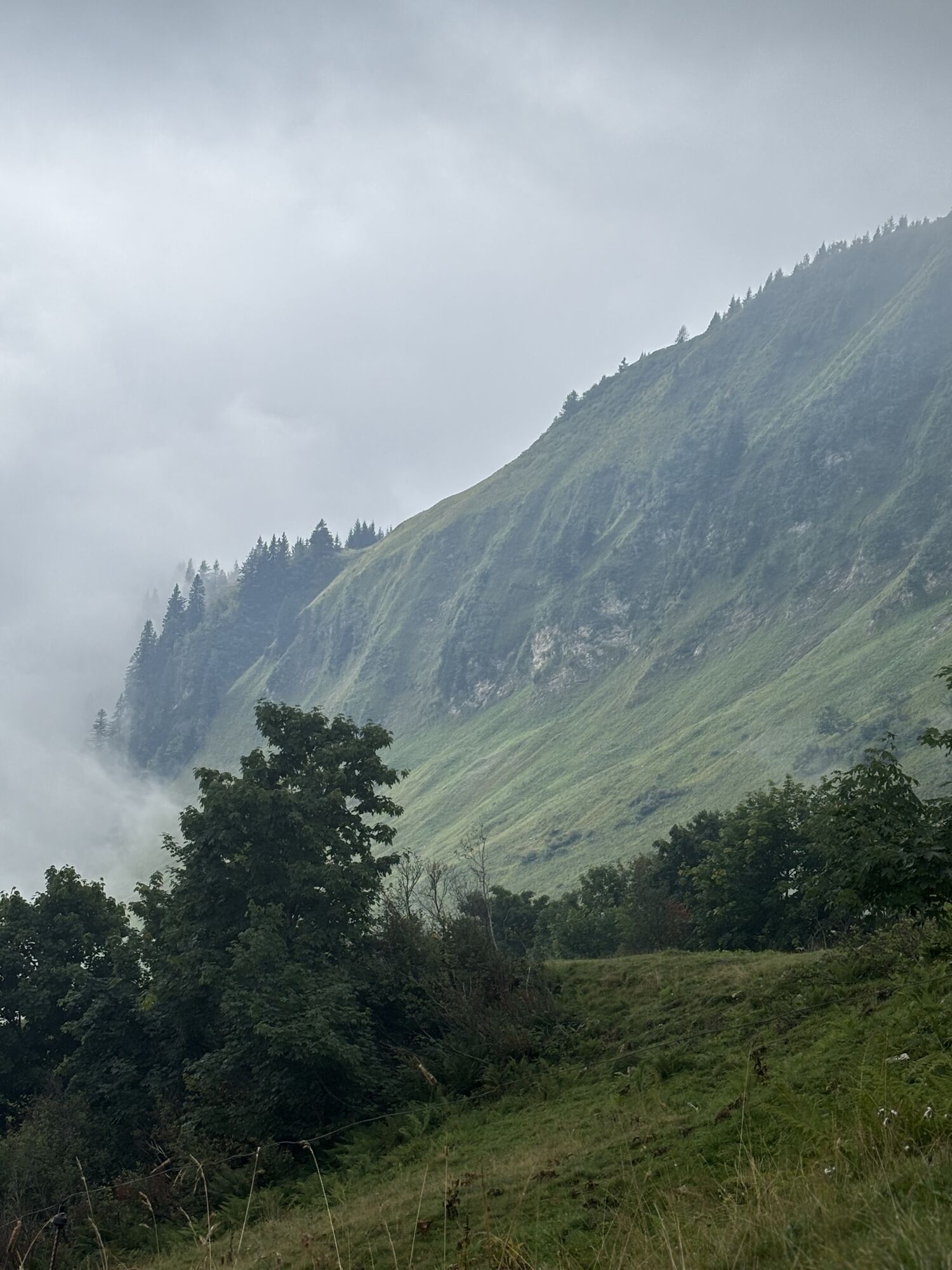
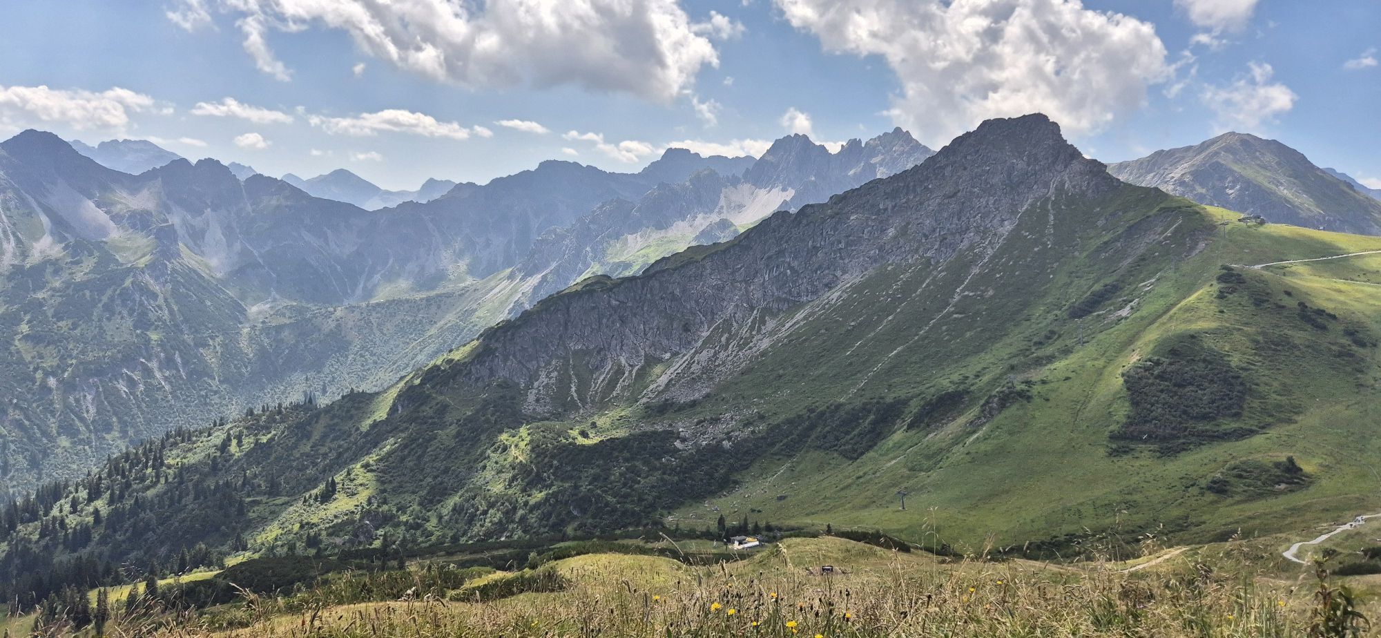
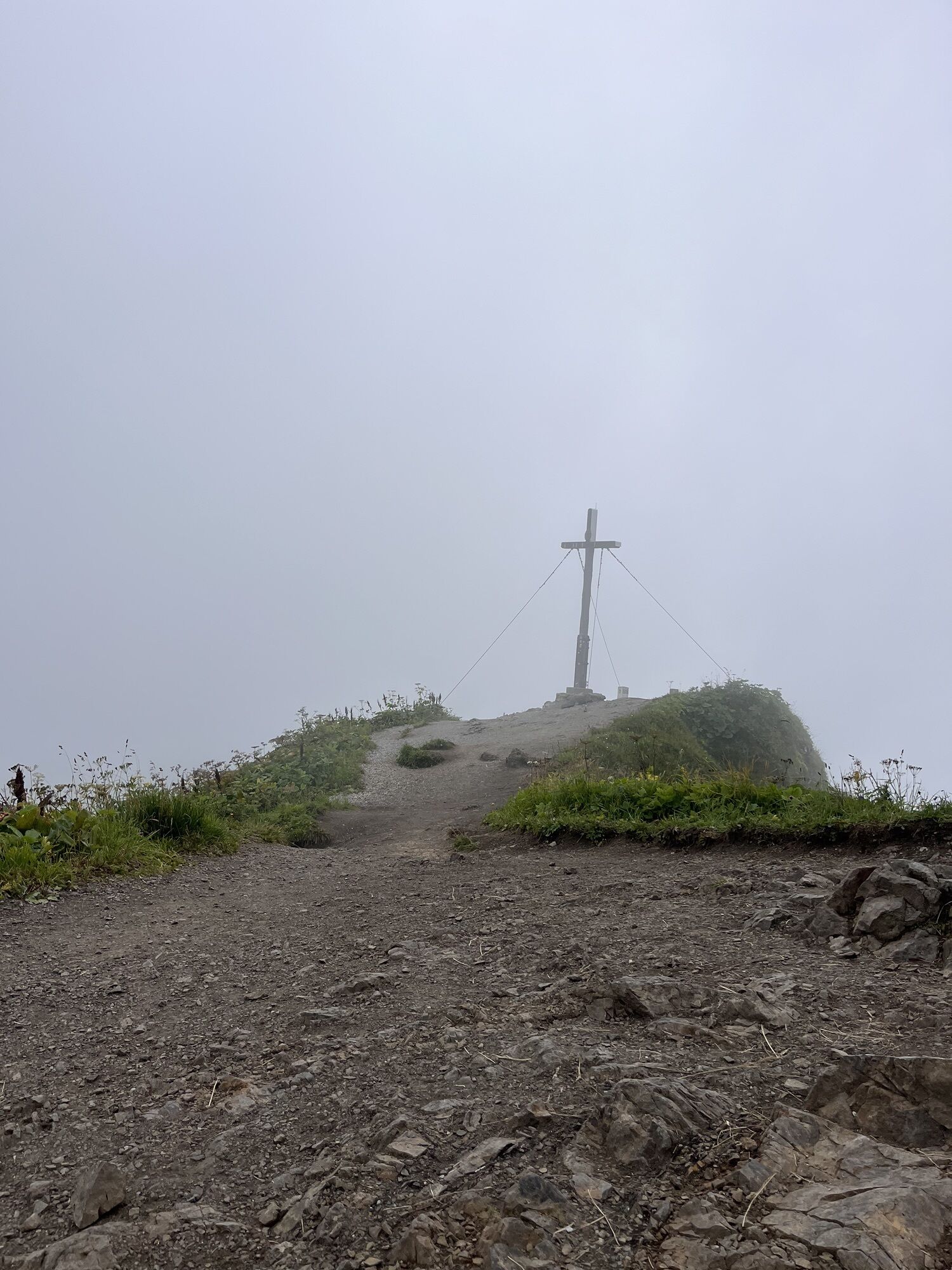
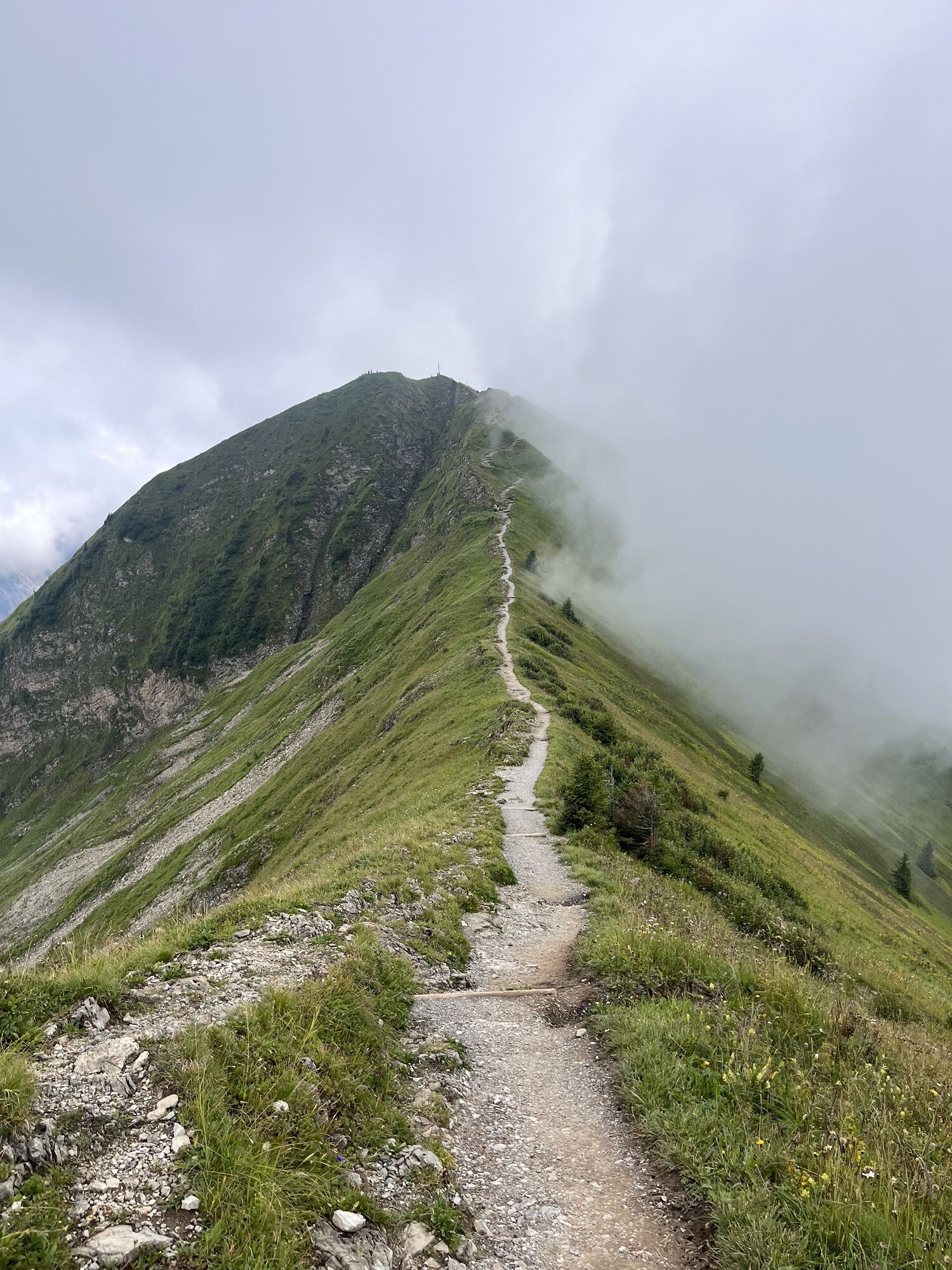
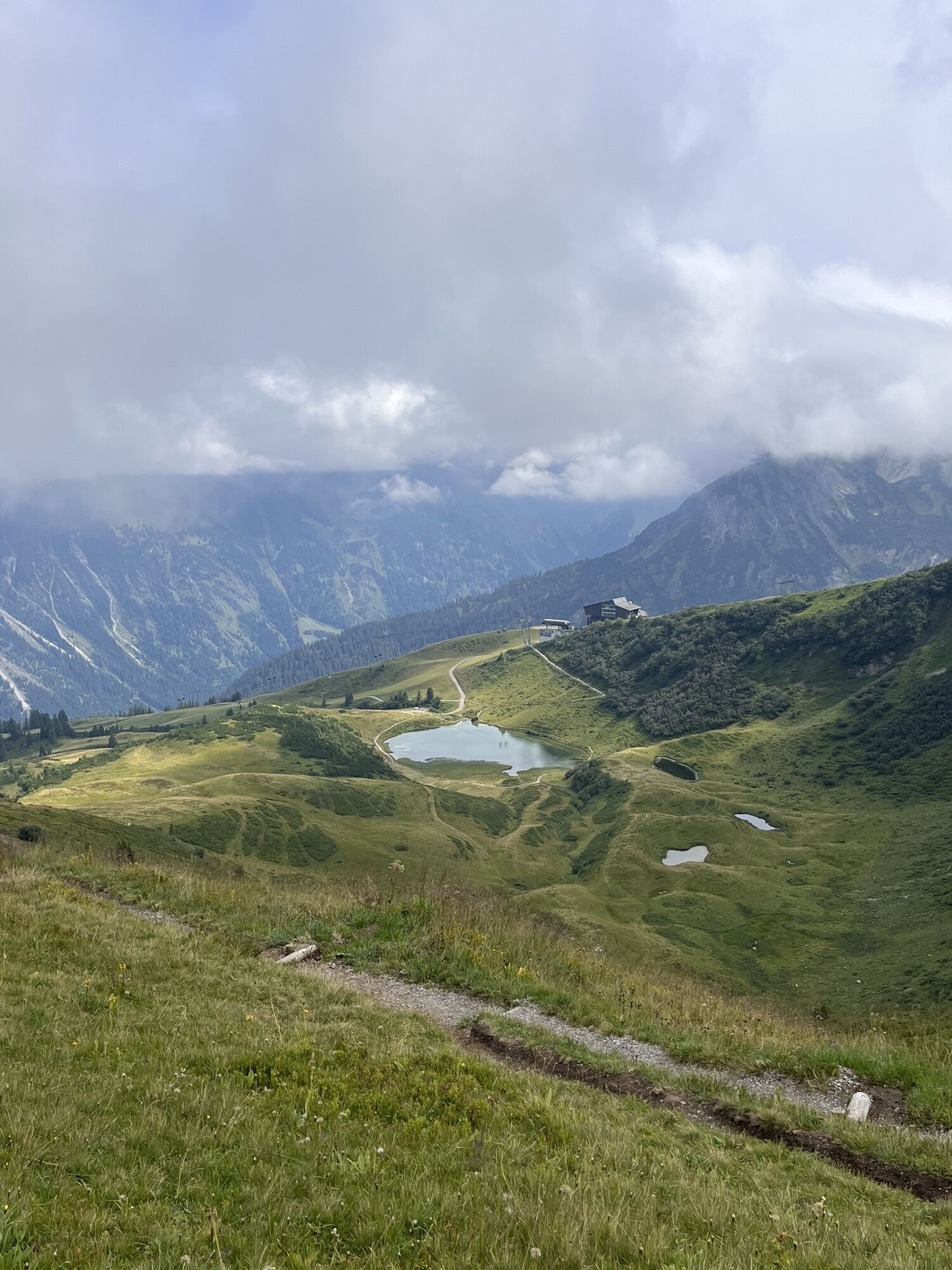
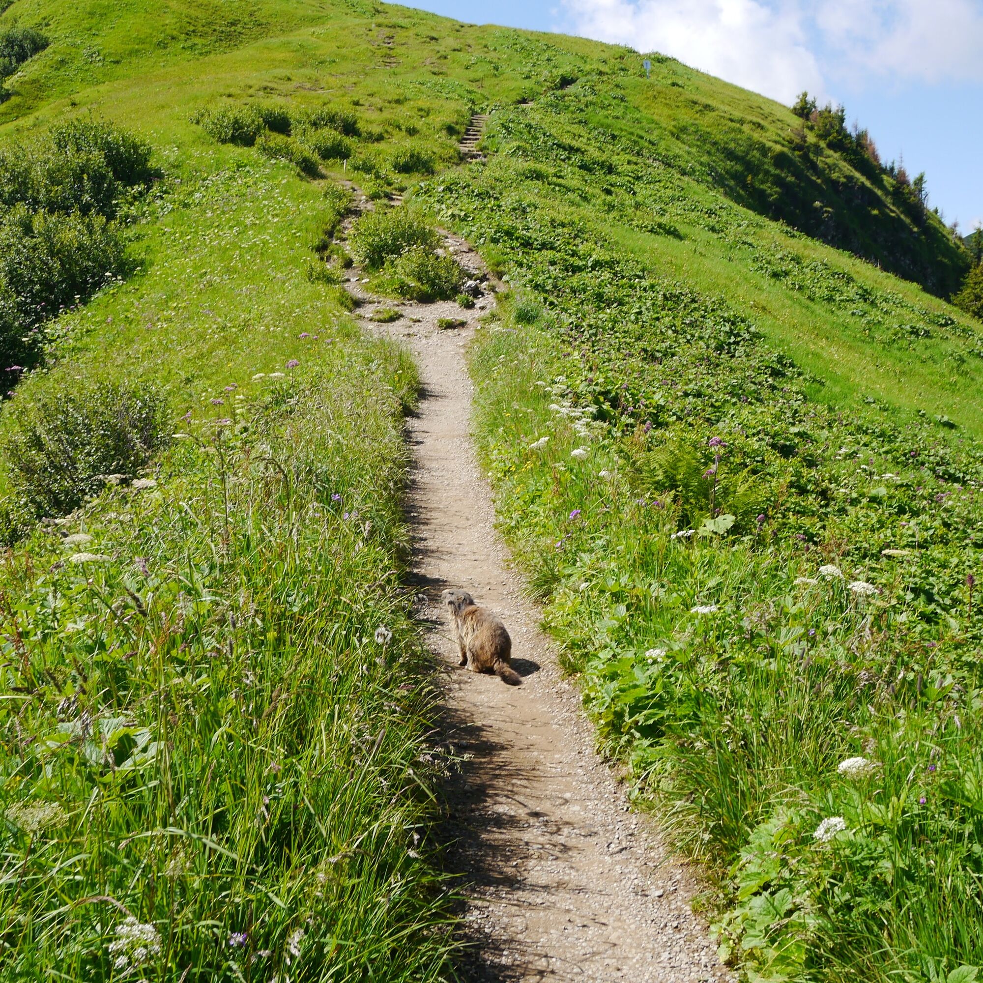
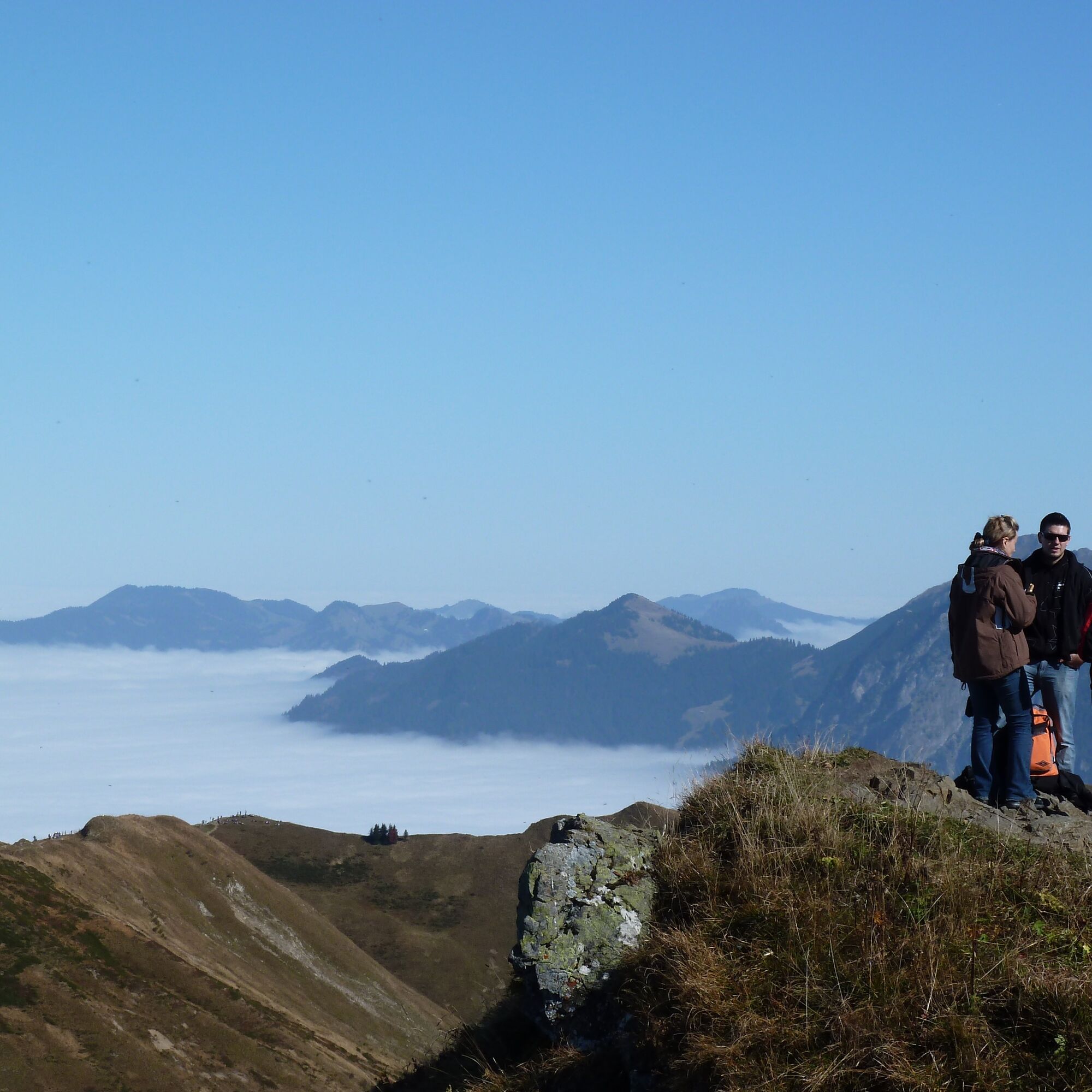
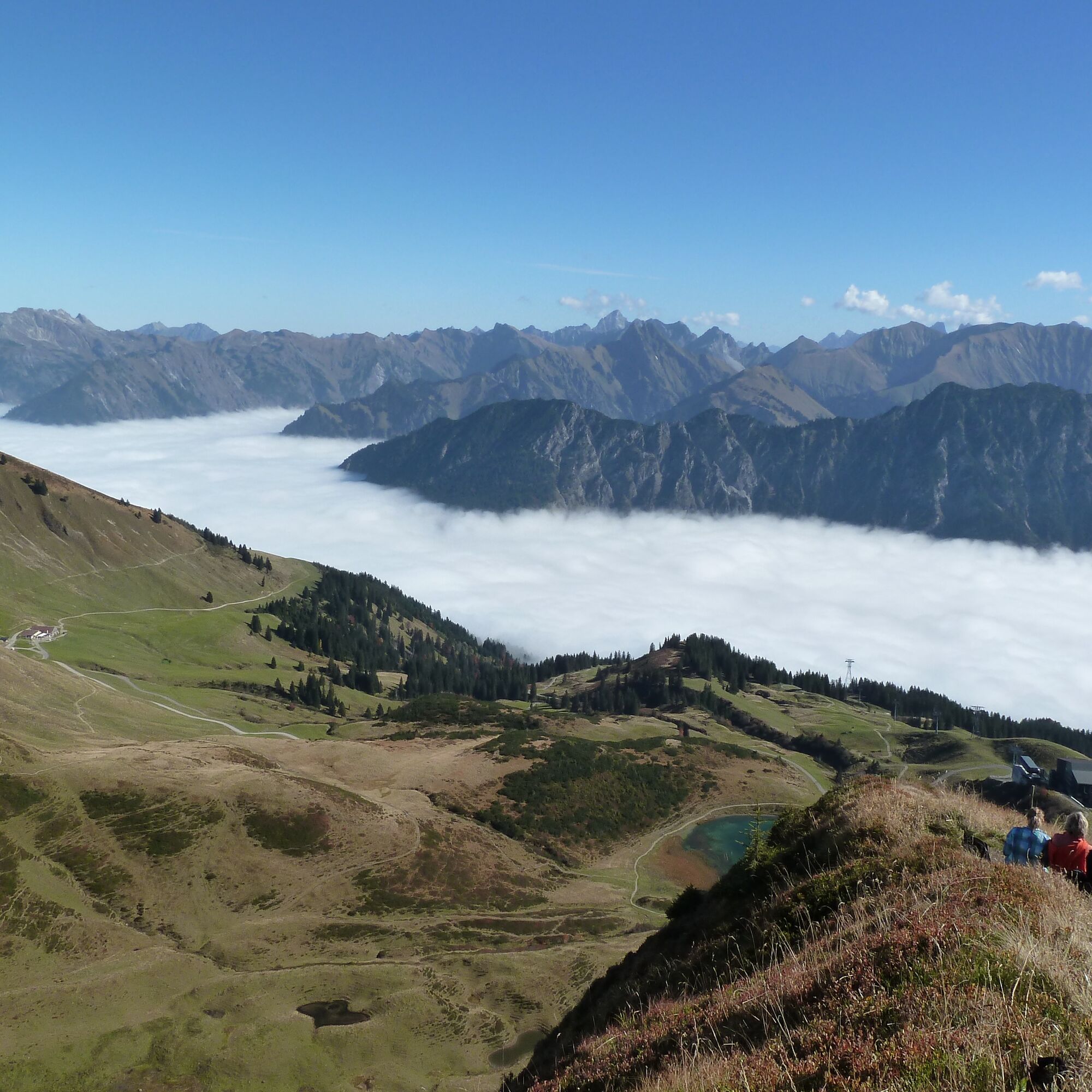
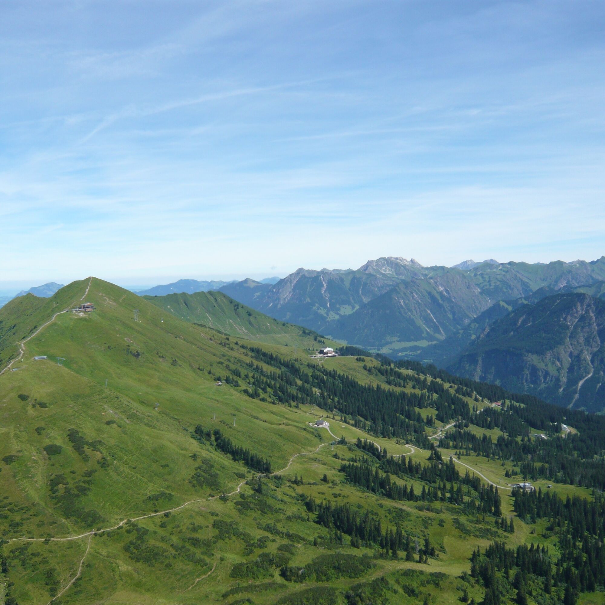
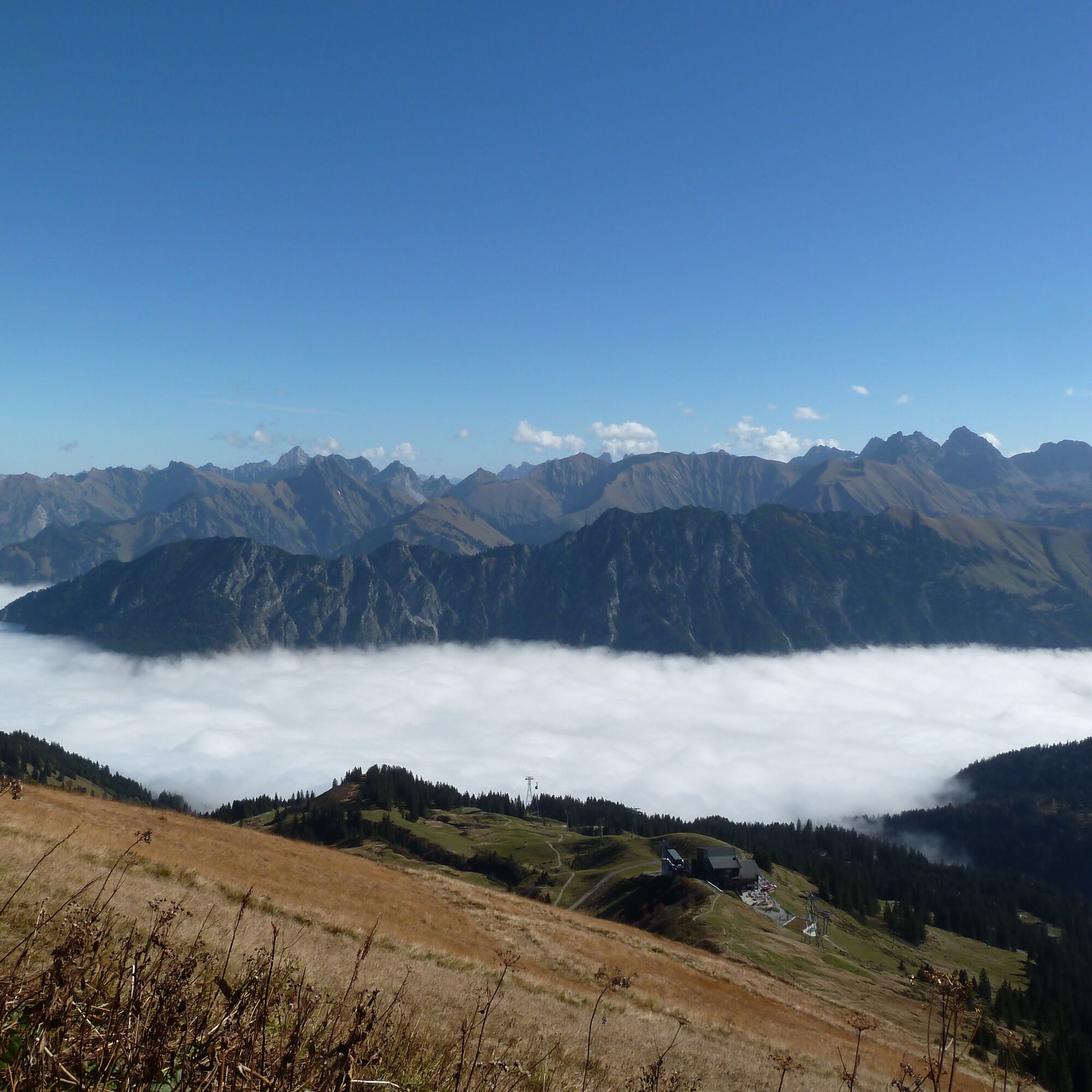
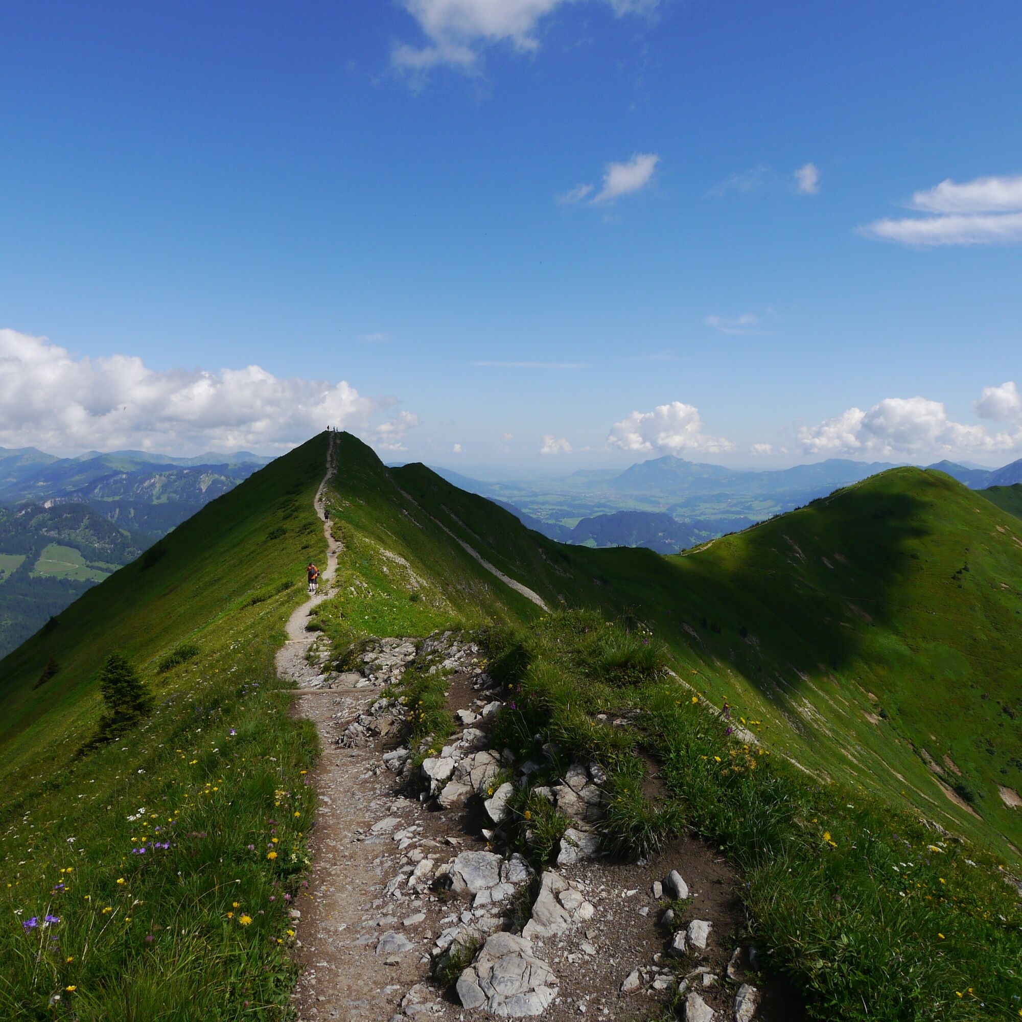
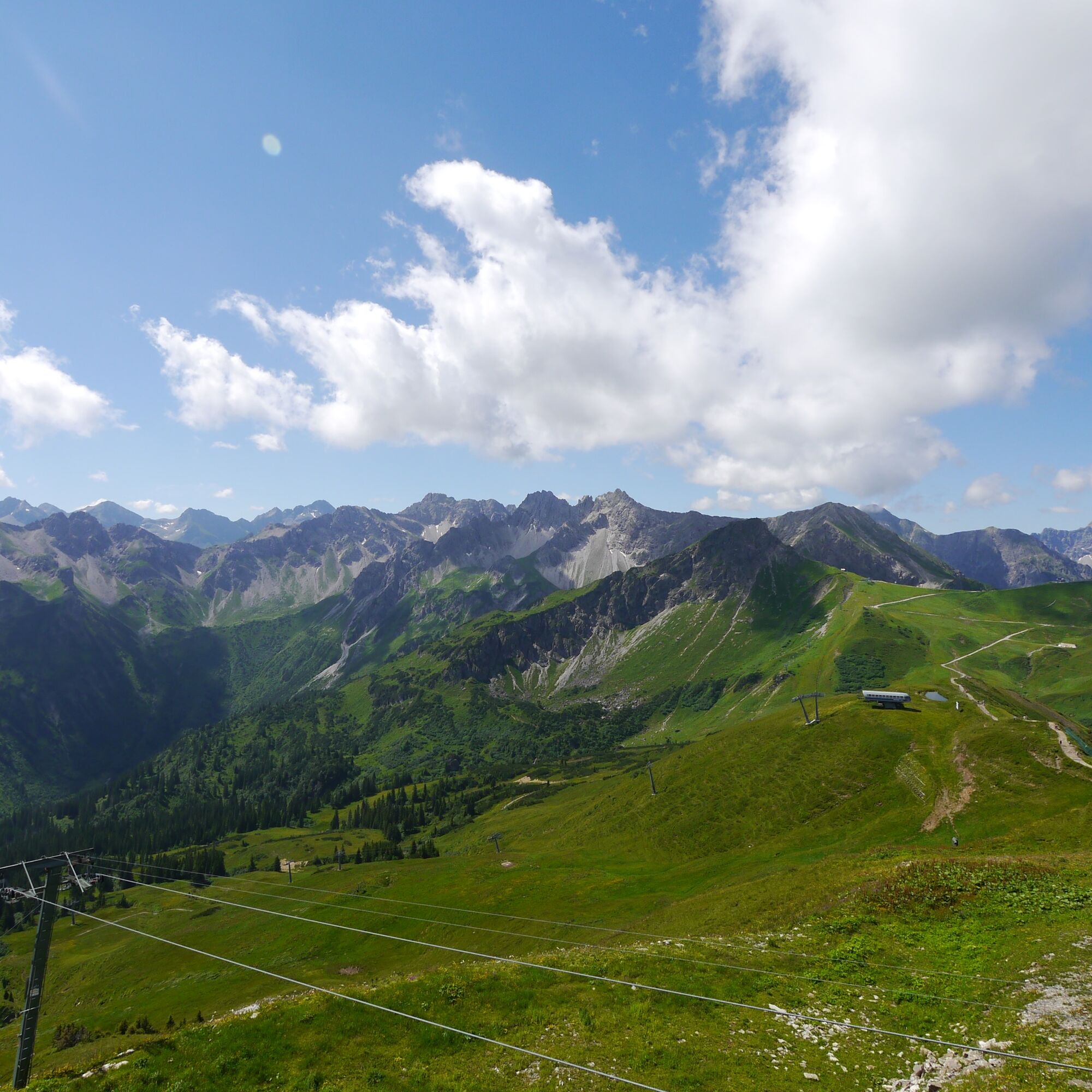
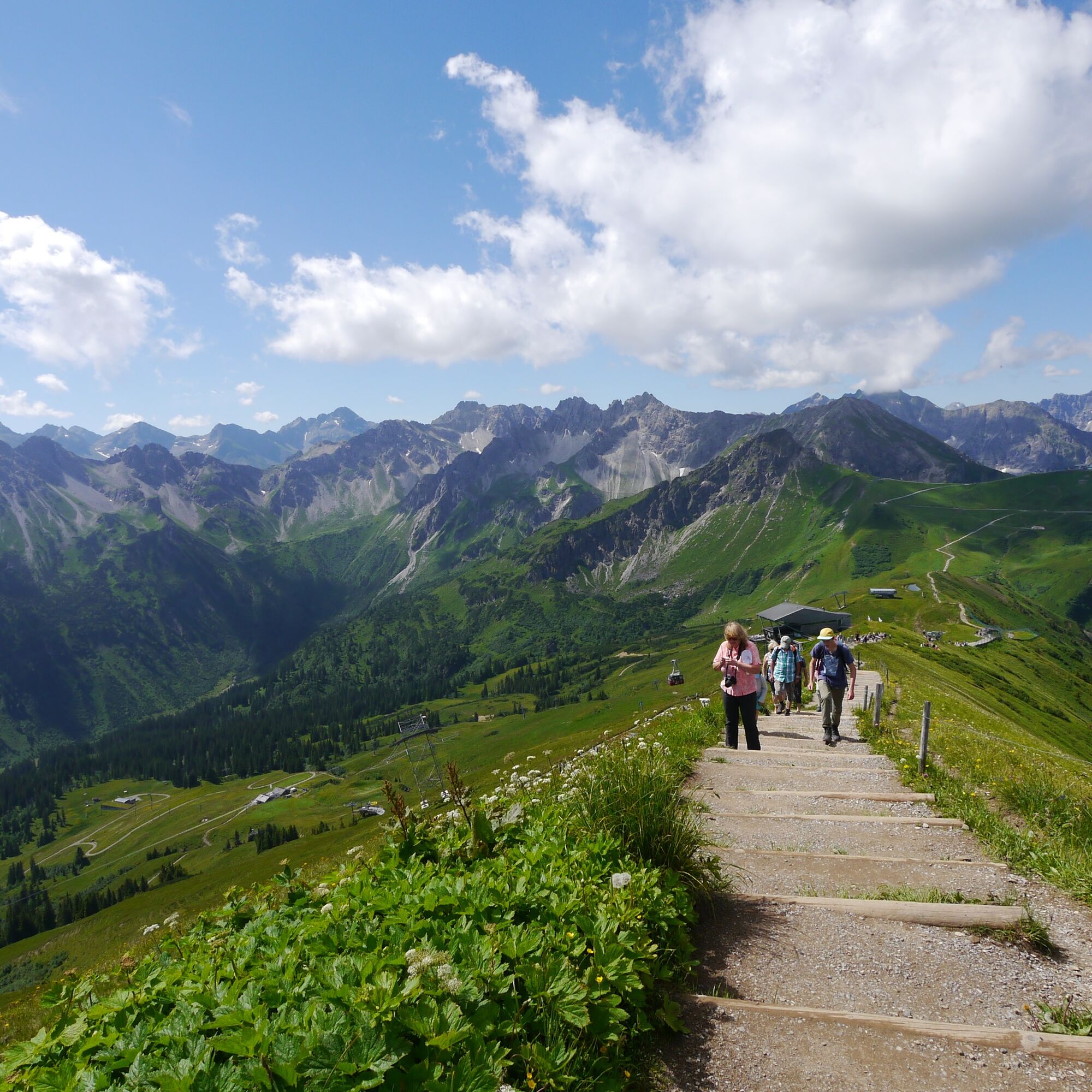
This extremely popular ridge route in the Austrian-German border region is known for its spectacular view from the Kleinwalsertal to the Unterallgäu as well as its unique flora and fauna.
After the ascent...
This extremely popular ridge route in the Austrian-German border region is known for its spectacular view from the Kleinwalsertal to the Unterallgäu as well as its unique flora and fauna.
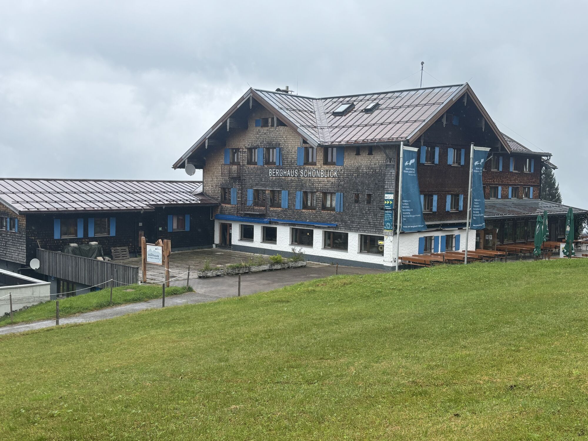
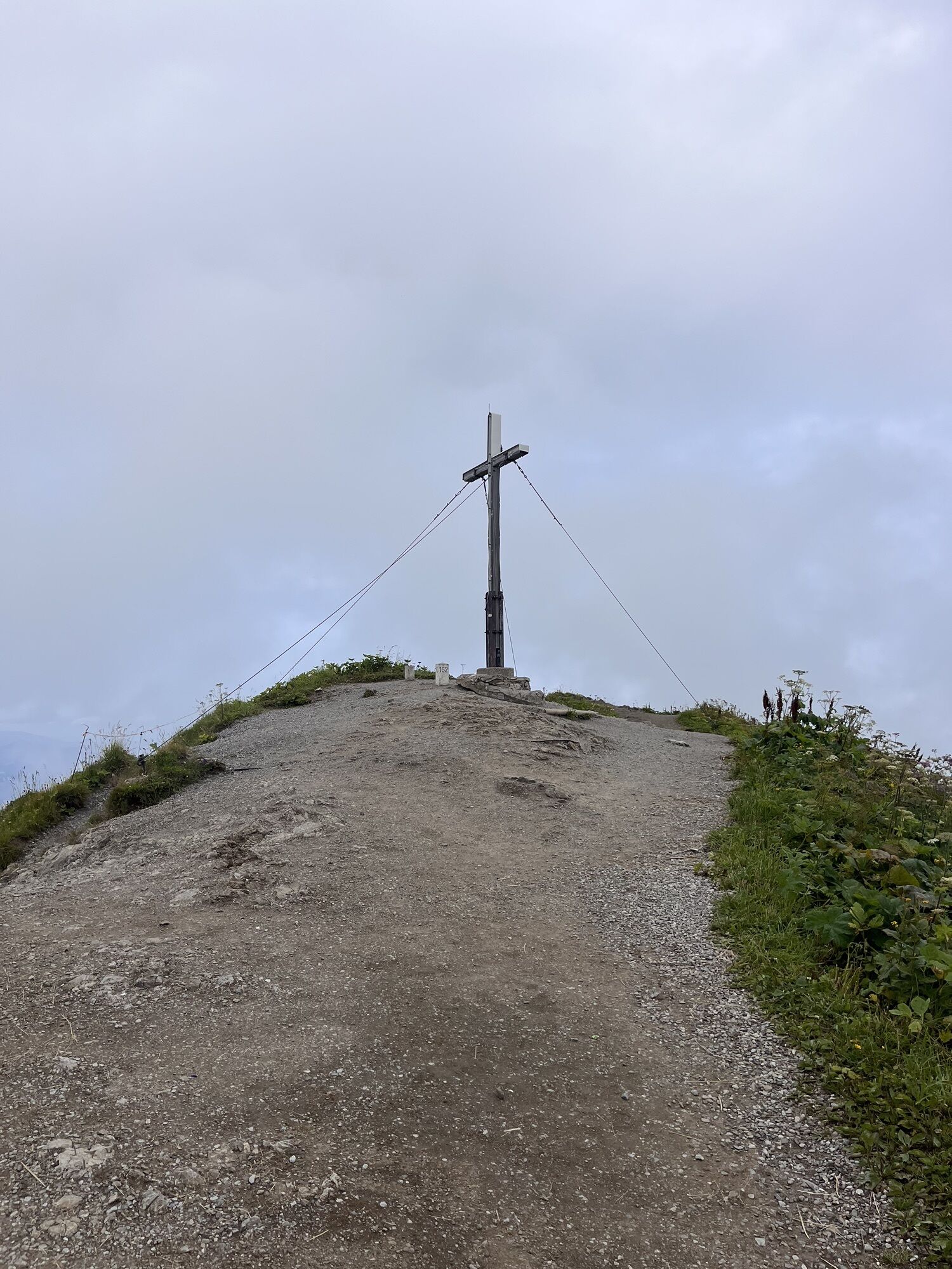
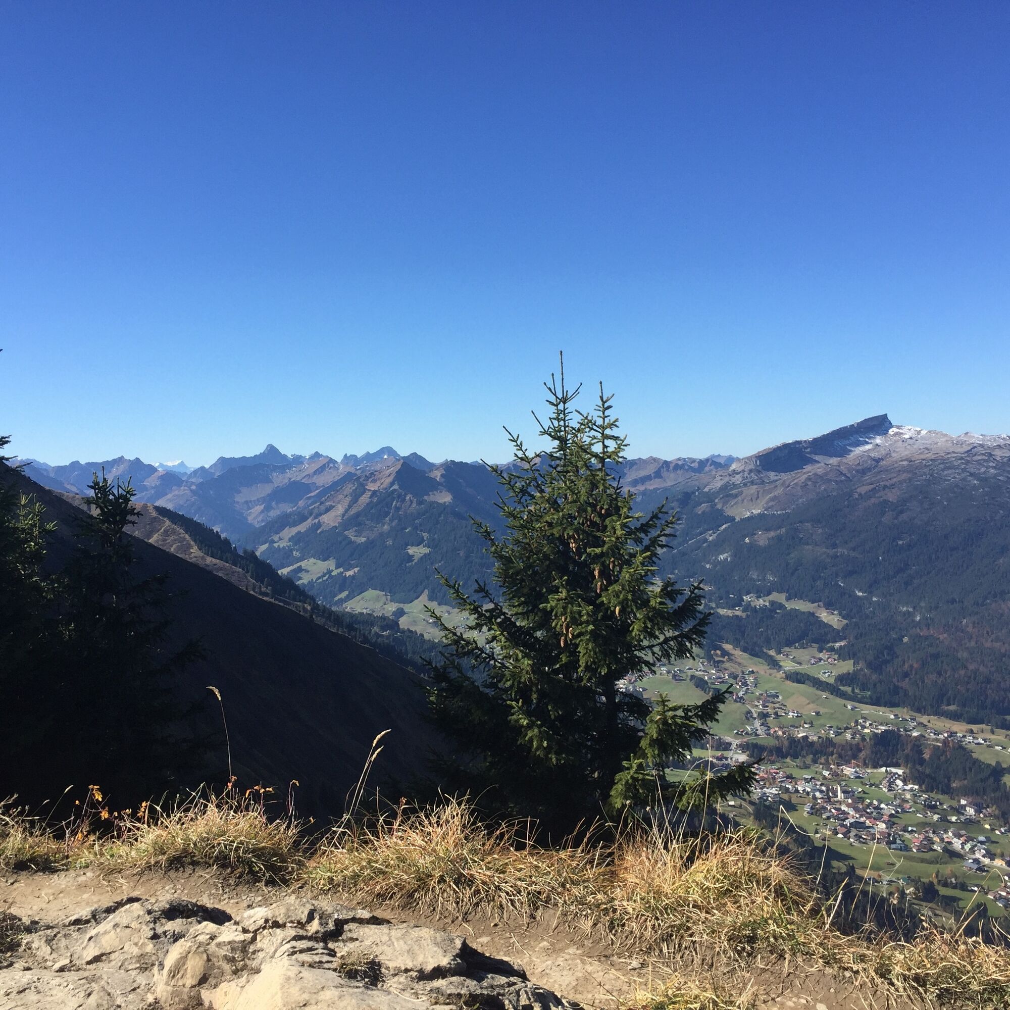
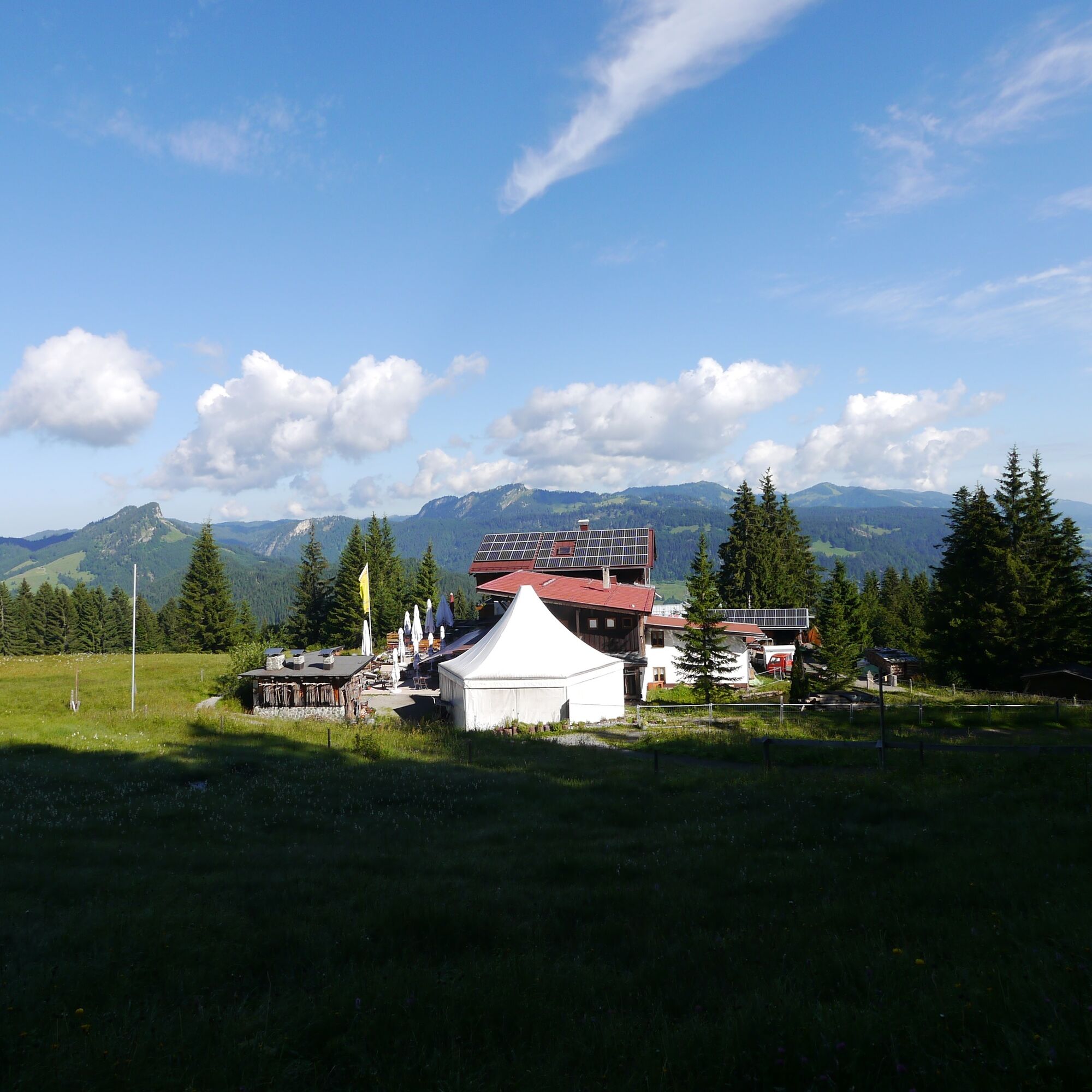
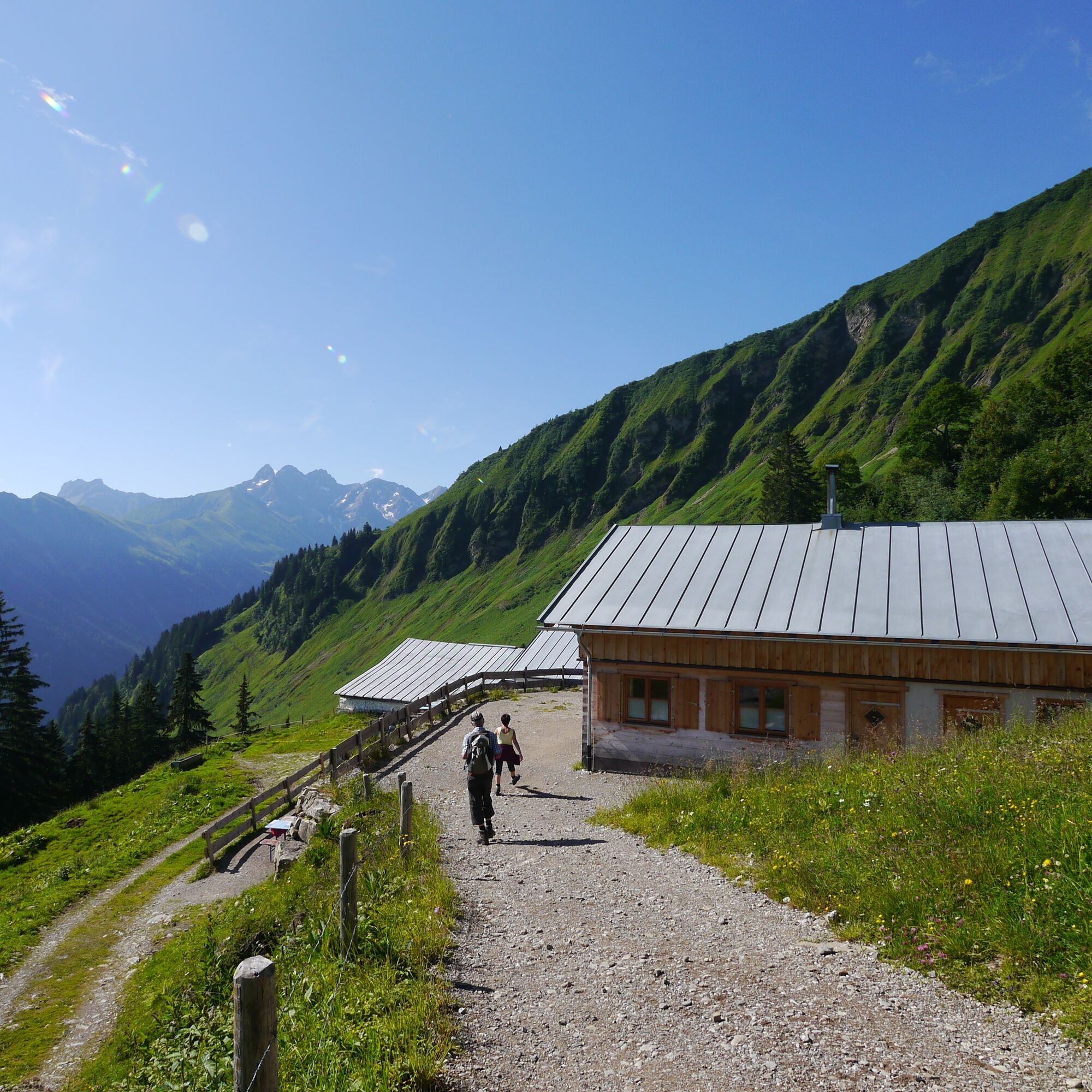
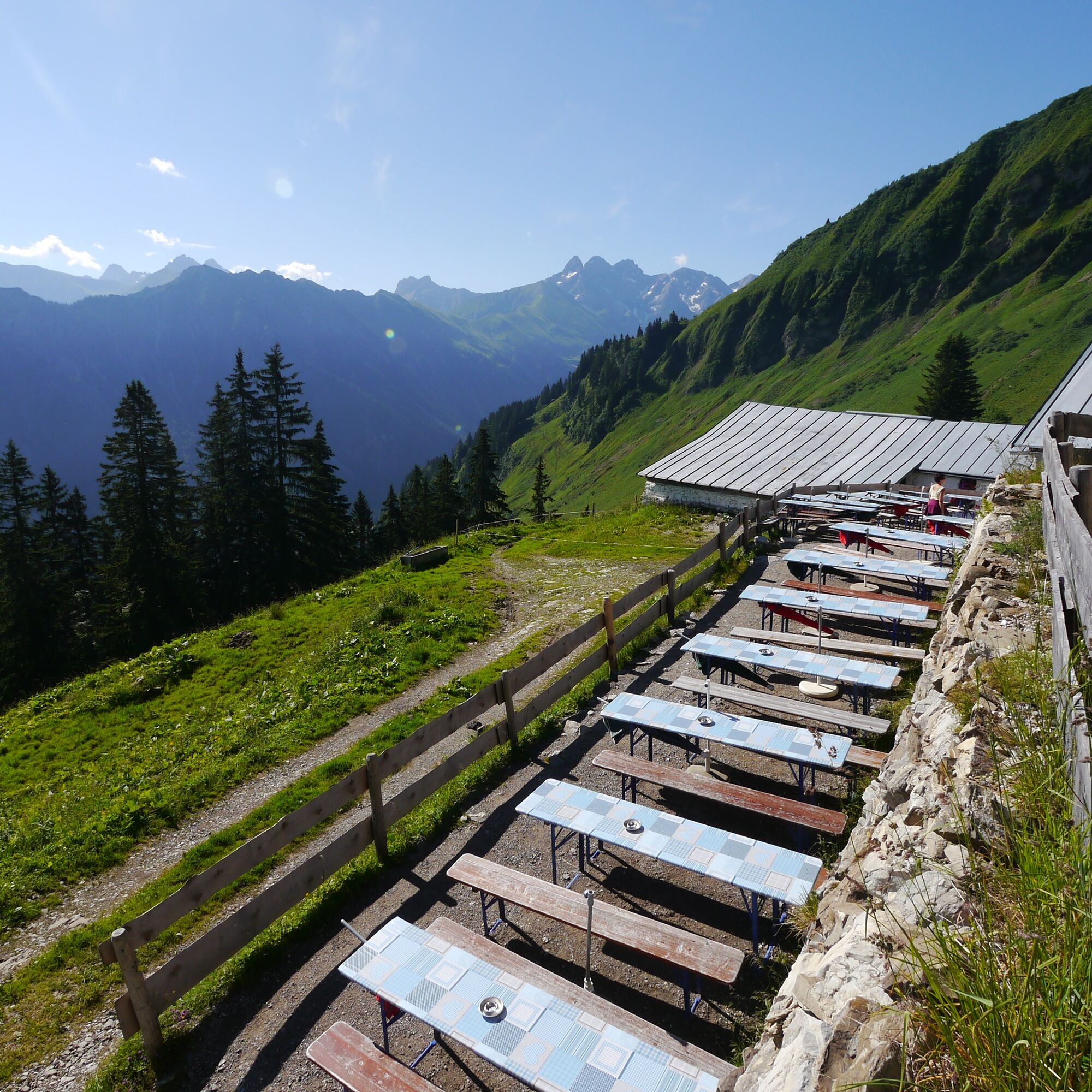
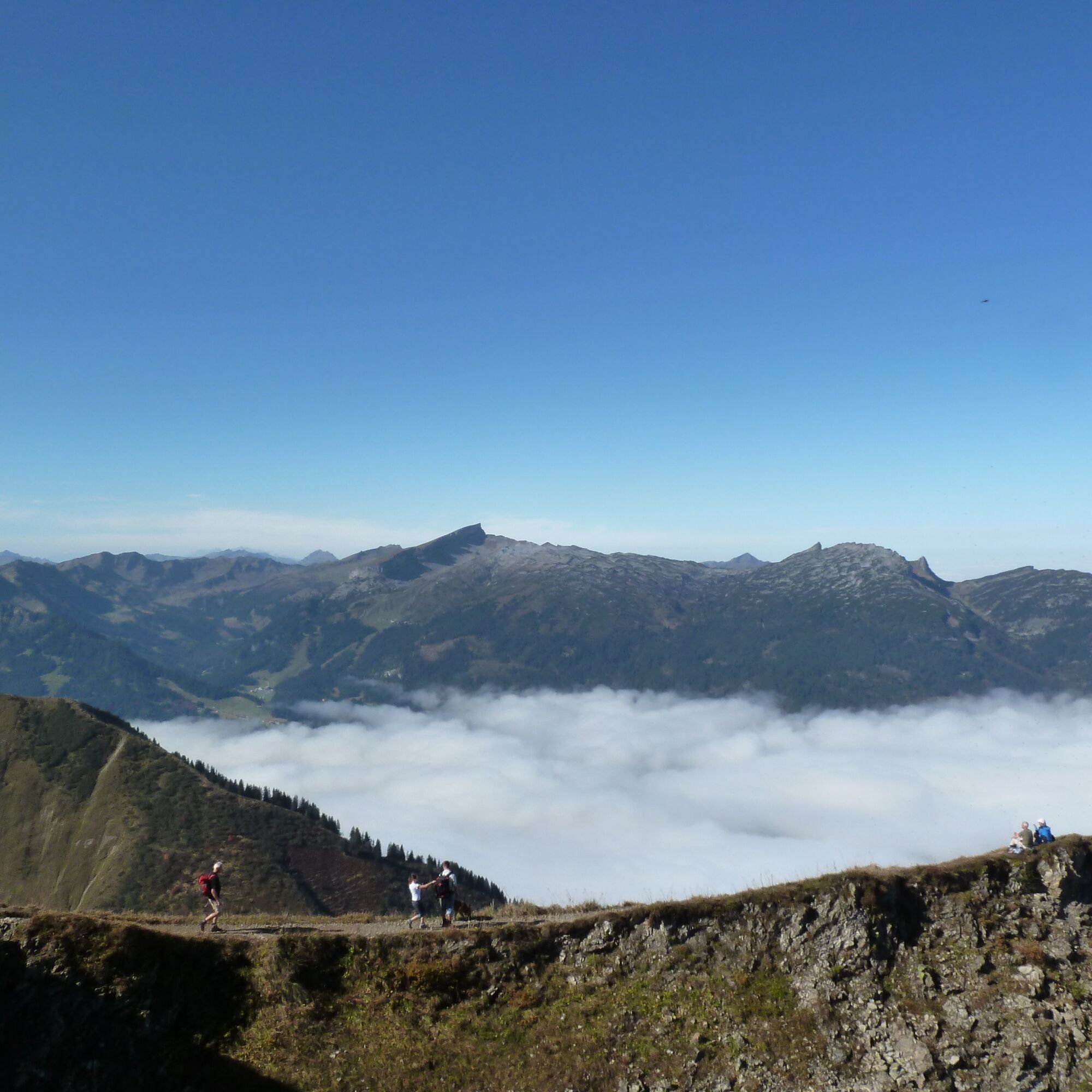
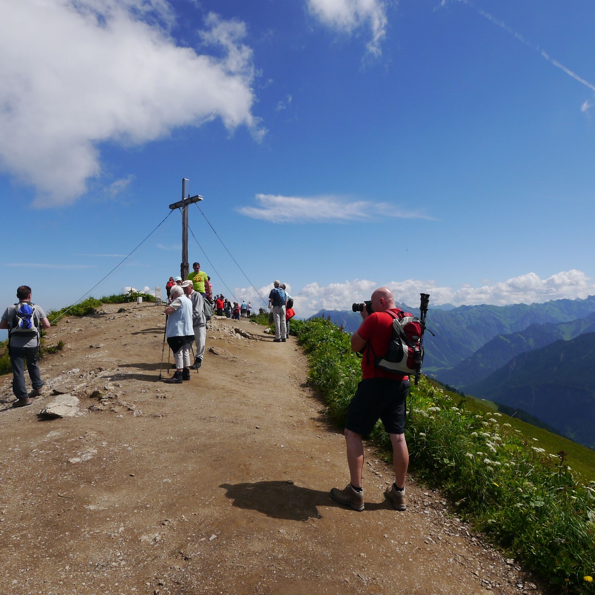
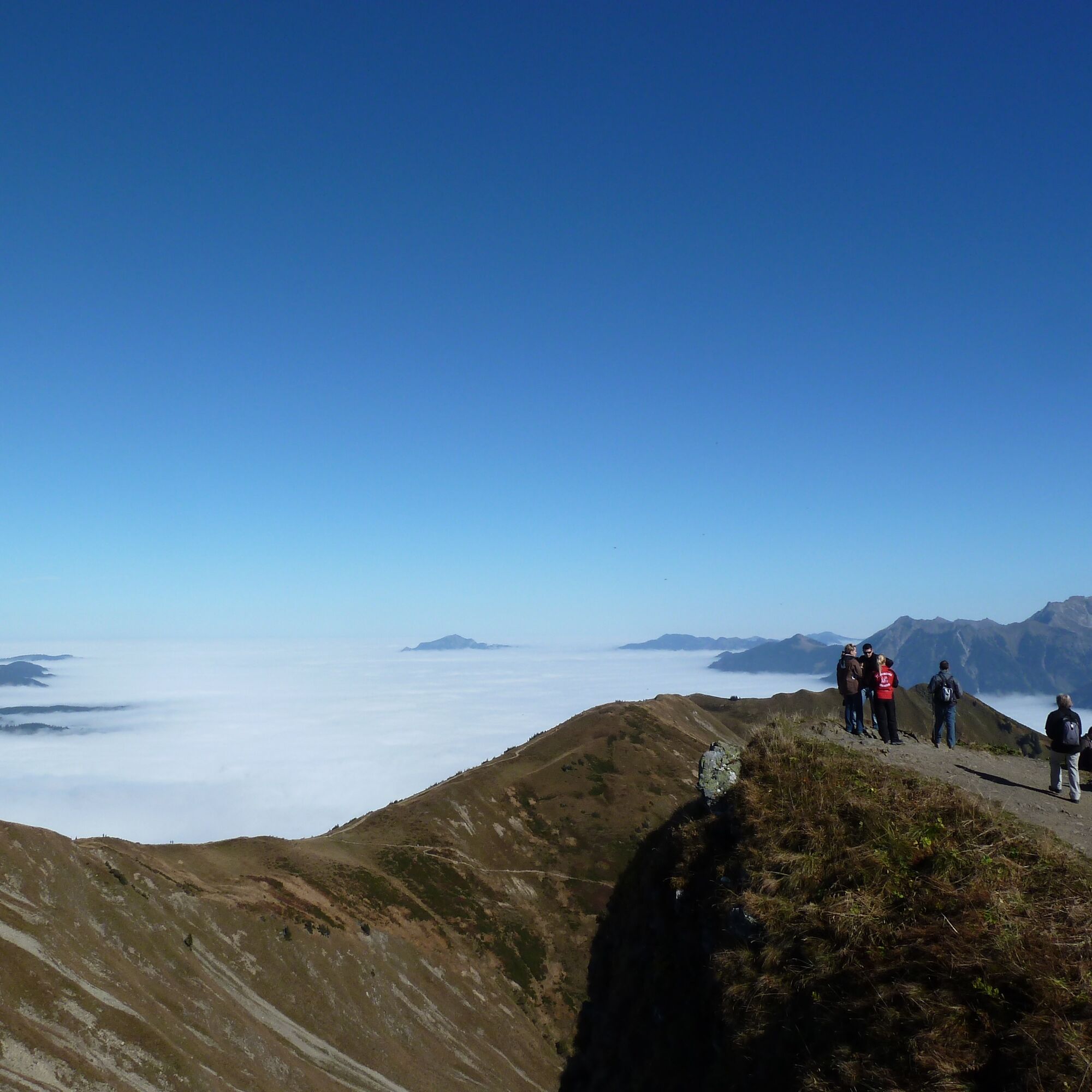
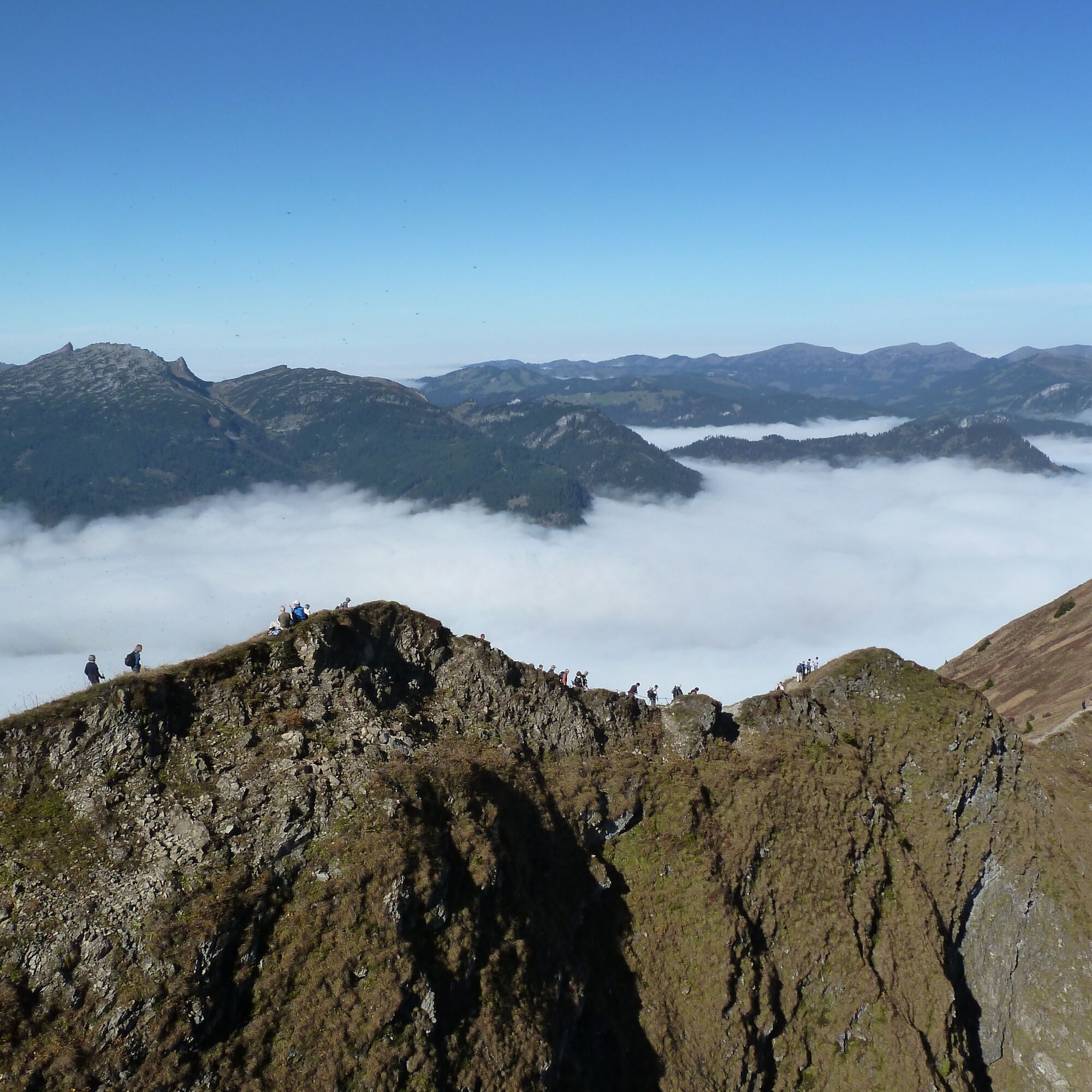
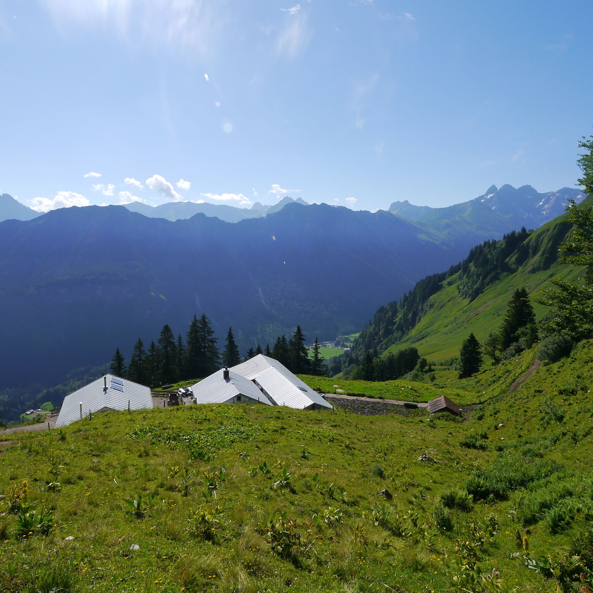
After the ascent with the Kanzelwand cable car, the hiking trail briefly descends towards the reservoir pond. Then it goes on the broad ridge to the Fellhorn summit. From there continuing to the Schlappoldkopf and to the summit of the Söllerkopf. Throughout the entire ridge route, an impressive panorama opens over the Kleinwalsertal towards Hoher Ifen and the Gottesacker plateau. Over a briefly somewhat exposed section secured with wire ropes, it goes down over pastures to the rustic Sölleralpe. From there, on a broad, flat forest road to the mountain station of the Söllereck cable car.
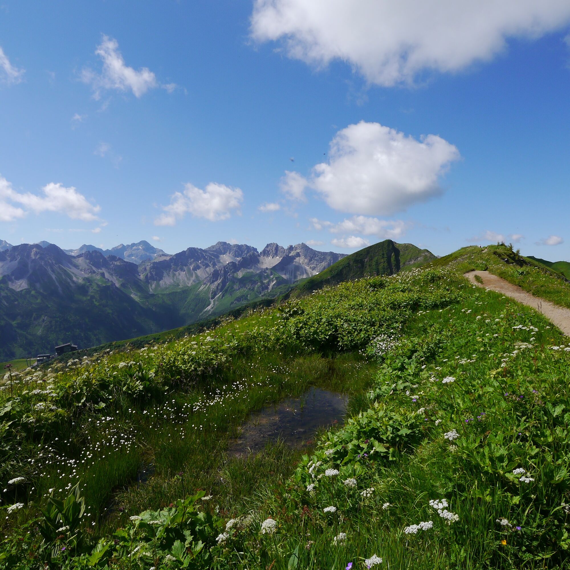
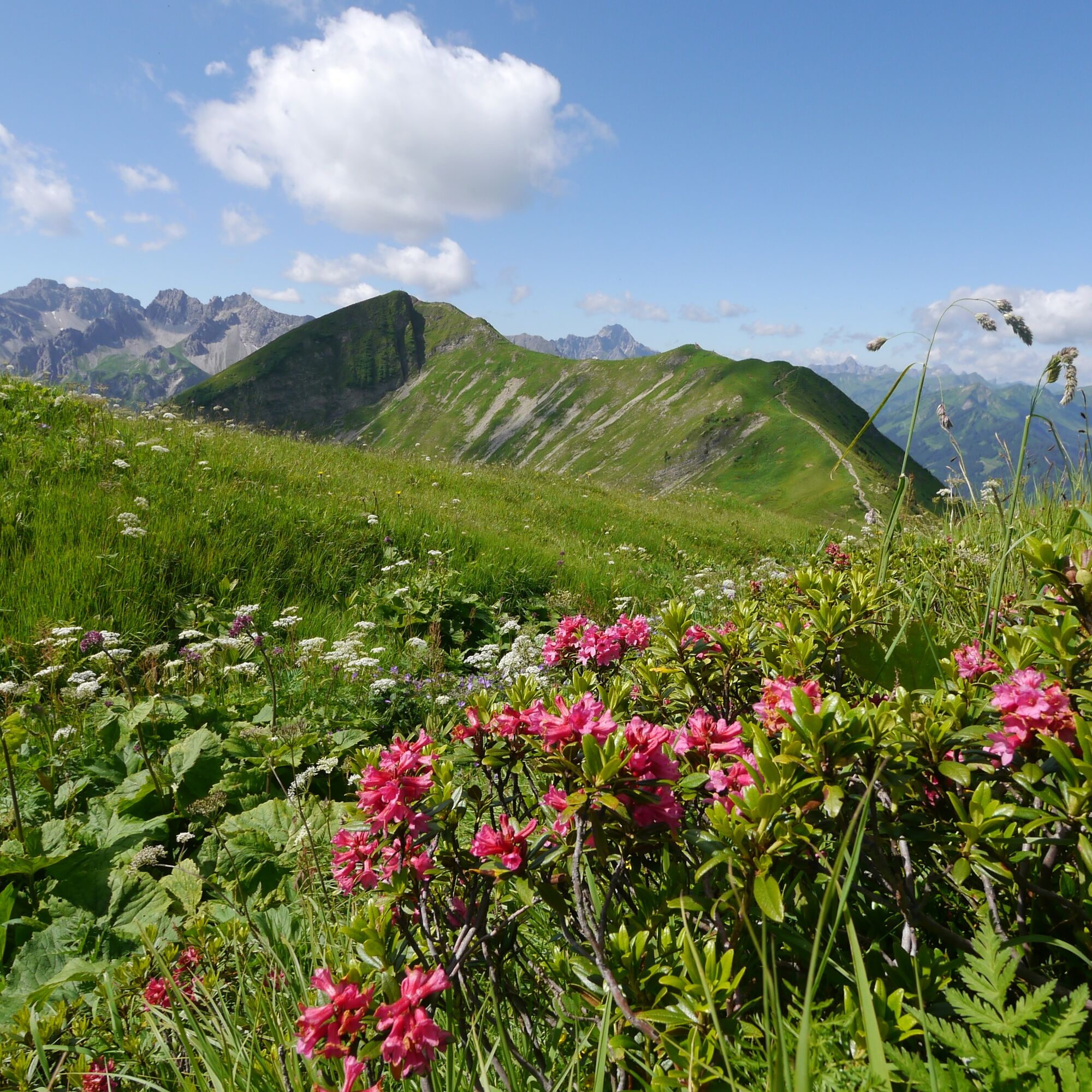
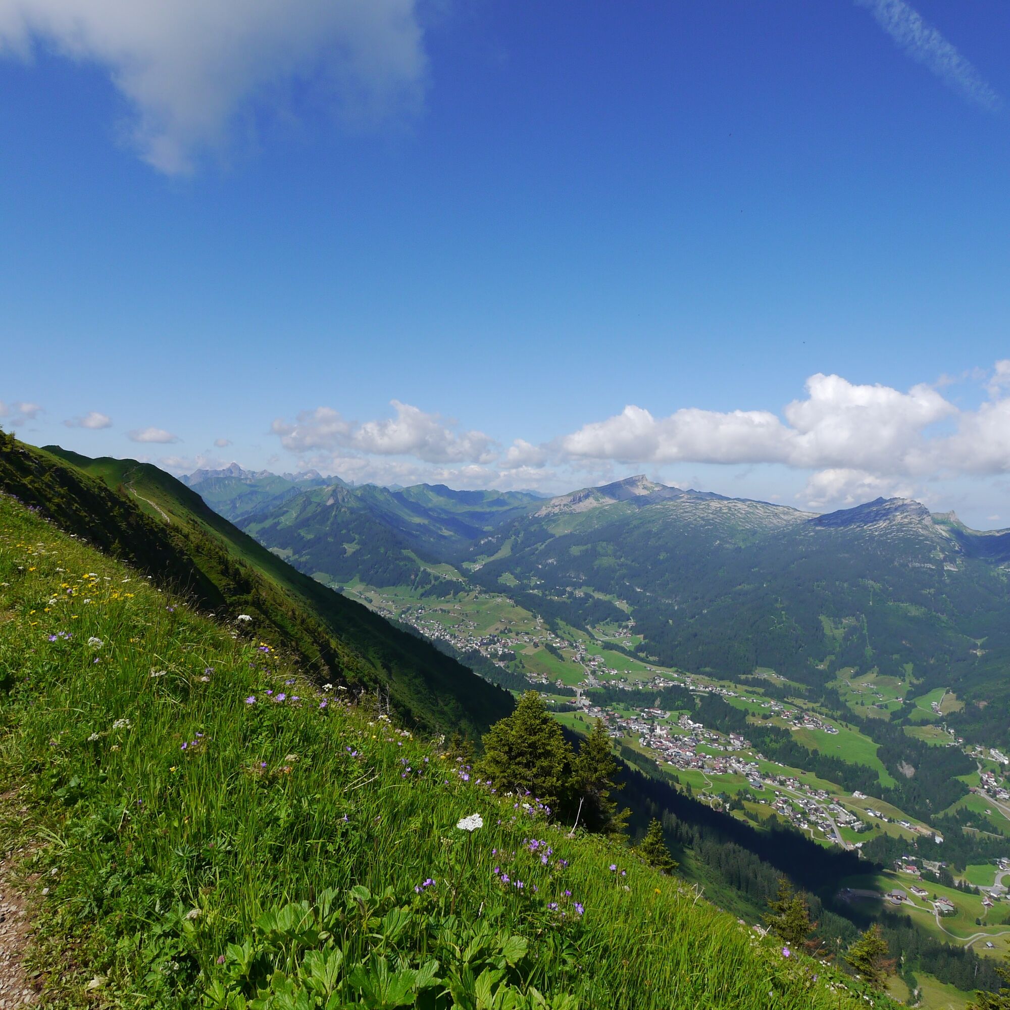
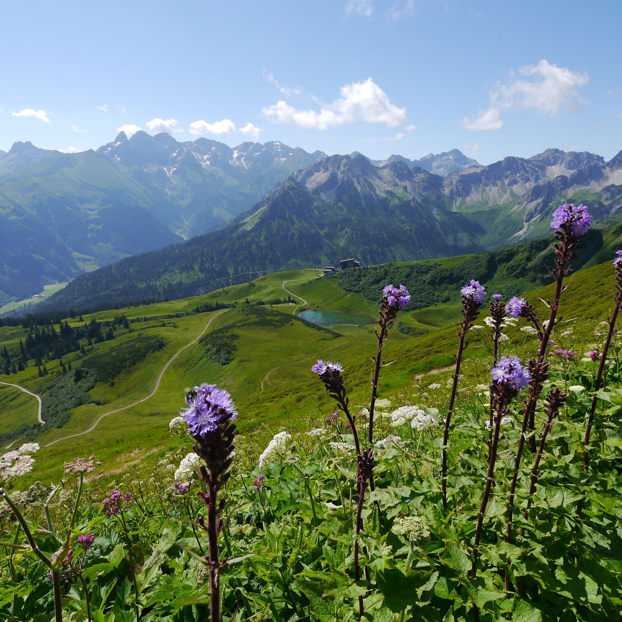

Kanzelwand valley station - ascent with Kanzelwand cable car - Kanzelwand cable car mountain station - Fellhorn summit - Schlappoldkopf - Söllerkopf - Sölleralpe - Söllereck cable car mountain station - descent with Söllereck cable car - Söllereck cable car valley station
Ano
Ano
Weather-appropriate clothing and sturdy footwear. Hiking poles recommended for steeper sections.
144 Alpine emergencies Vorarlberg
112 European emergency number (works with any mobile/ network)
Most routes from Germany converge in Ulm and continue on the A7. At the Allgäu motorway junction, take the A980 section to the Waltenhofen exit and continue on the four-lane B19 via Sonthofen and Oberstdorf into the Kleinwalsertal. From Austria (Vorarlberg) and Switzerland, the Kleinwalsertal can be reached via the Bregenzerwald (Hittisau) – Riedberg Pass – Fischen – Oberstdorf. From Tirol, the fastest route leads via the A7 to Kempten and then on the B19 towards Oberstdorf. No motorway vignette is required for driving into the valley.
Starting point of the route: Walserbus line 1, Kanzelwand cable car bus stop
Return from: Walserbus line 1, Söllereck cable car bus stop
Paid parking spaces at the Kanzelwand cable car
T3
If the route is undertaken from the Kanzelwand cable car at 1957 meters elevation to the Söllereck cable car, the route goes downhill. Those who prefer to go uphill can also start from the Söllereck cable car mountain station at 1360 meters elevation and hike to the higher Kanzelwand cable car.
Extremely fit and experienced hikers can also undertake the route without cable car support. Then about 17 km and over 1100 meters in ascent and descent have to be mastered. The ascent to the Kanzelwand cable car is best via the Gehrenspitze; the descent from the Söllereck cable car to Riezlern via this high trail
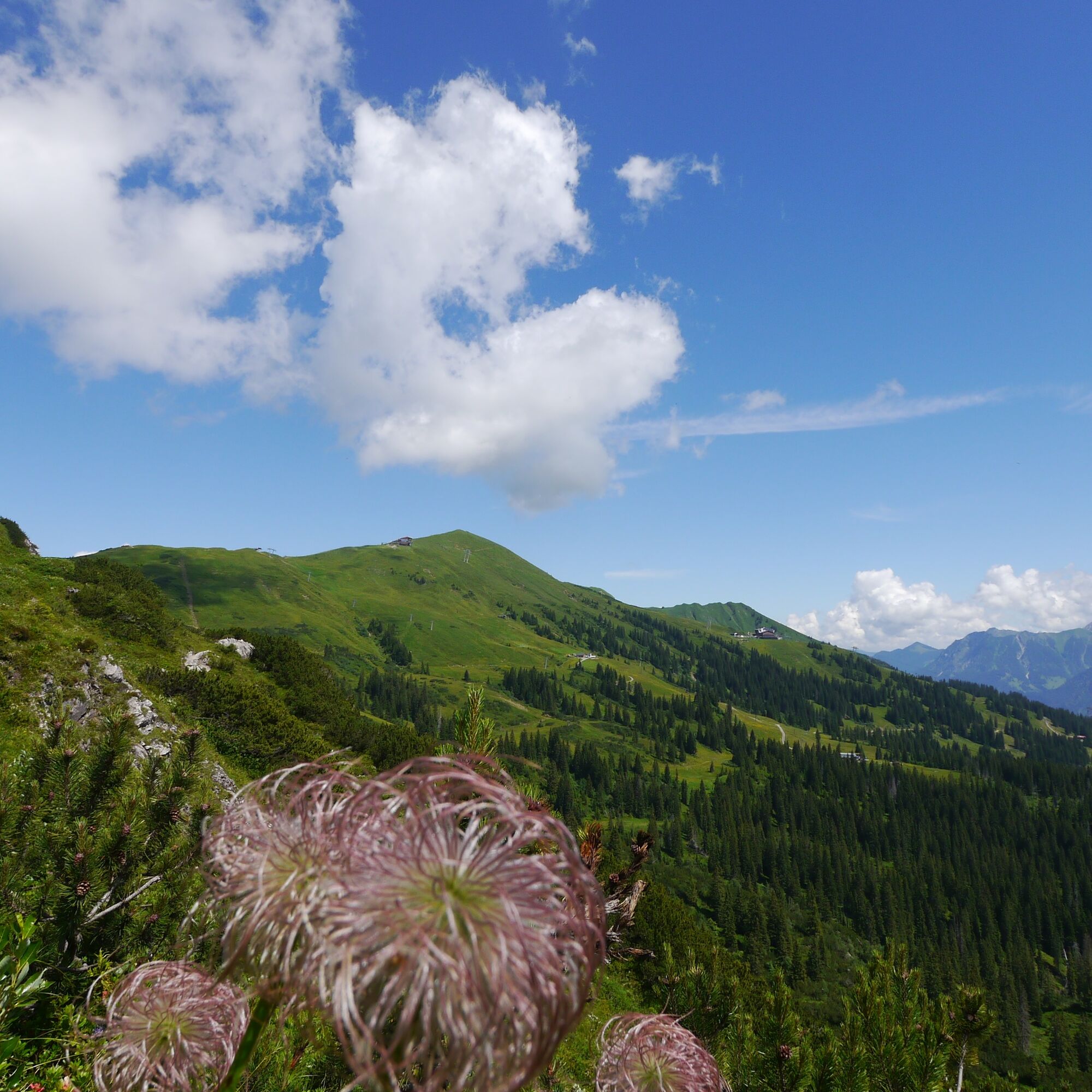
Flower enthusiasts should undertake the hike between June and July. During this time, the Alpine roses bloom along the route.
Especially on weekends, heavy counter-traffic and crowds at the summits can be expected in the border region; those who can plan accordingly should undertake this worthwhile hike during the week.




Webové kamery z prohlídky
-
Bergstation Kanzelwandbahn Riezlern
-
Fellhornbahn Station Schlappoldsee
-
Fellhornbahn Gipfelstation
-
Fellhorn/Oberstdorf Kleinwalsertal
-
Hirschegg - Naturhotel Chesa Valisa
-
Zaferna Bergstation
-
Oberstdorf Schanze
-
Mittelberg - Naturhotel Lärchenhof
-
Plattform - Schirmbar Riezlern
-
Riezlern Unterwestegg - Gästehaus Almenrausch
-
Riezlern/Schwende - Genuss- & Aktivhotel Sonnenburg
-
Hirschegg - Hotel Walserhof
-
Hirschegg - Hotel Birkenhöhe
-
Hirschegg - Hotel Sonnenberg
-
Mittelberg Bödmen - Hotel Alte Krone
-
Riezlern - Hotel Erlebach
-
Mittelberg - Haus Walser Berge
-
Möserbahn Berg
-
Möserbahn Berg
-
Möserbahn Berg
-
Möserbahn Berg
-
Möserbahn Berg
-
Oberstdorf - Söllereck Berg
-
Oberstdorf Langlaufstadion
-
Oberstdorf
-
Oberstdorf
-
Oberstdorf
-
Oberstdorf Skiflugschanze
-
Oberstdorf Tiefenbach
-
Kornau / Oberstdorf - Ringhotel Nebelhornblick
-
Oberstdorf - Hotel Mohren
-
Kanzelwand / Fellhorn
-
Naturbad Freibergsee
-
Heini-Klopfer-Skiflugschanze
-
Oberstdorf - Scheibenhaus
-
Mittelberg - Gästehaus Otto Fritz
-
Hochleite - Stillachtal
-
Hochleite
-
Bannholzhof
-
Fellhorn/Oberstdorf Kleinwalsertal
Získejte přehled
Vždy živě na místě s více než 9 500 webkamerami. bergfex Jako uživatel Pro si nyní můžete zobrazit odpovídající webové kamery pro mnoho prohlídek v aplikaci prohlídky z. Můžete si tak přímo prohlédnout aktuální podmínky.
Aktivity na trase


Oblíbené prohlídky v okolí
-
5.0
Gerstruben - zum historischen Bergbauerndorf
středníTuristika 12.8 km -
4.7
Unterer Gaisalpsee
středníVysokohorská turistika 8.64 km -
4.4
Circular hike through the Bärgunttal
středníTuristika 4.75 km -
4.9
Rubihorntour
středníHorská turistika 13.0 km -
4.8
Reichenbach, Tobelweg, Entschenkopf, Gaisalpseen
heavyVysokohorská turistika 13.0 km -
4.7
Rubihorn
středníTuristika 9.06 km -
4.7
Widderstein Runde von Baad
středníTuristika 15.8 km -
4.6
Entschenkopf
heavyTuristika 12.3 km -
4.5
Winterwanderung ins Oytal
středníZimní turistika 10.1 km -
4.9
E5 - 1. Etappe: Oberstdorf - Kemptner Hütte
světlodálková pěší trasa 7.80 km
Pěší turistika a stopování


Nenechte si ujít nabídky a inspiraci pro vaši příští dovolenou
Vaše e-mailová adresa byl přidán do poštovního seznamu.





