





Widderstein Trail
Úroveň obtížnosti: T3
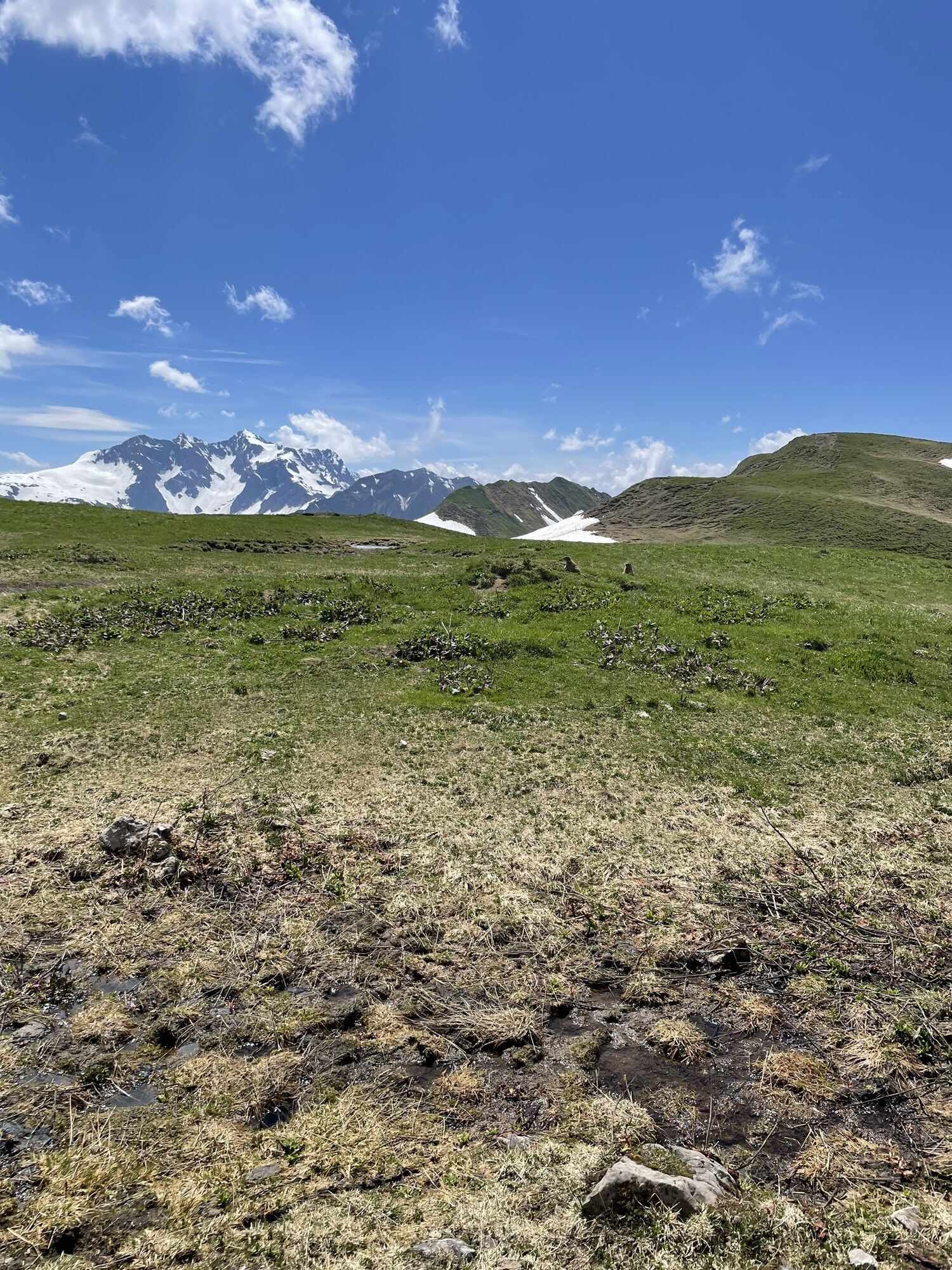
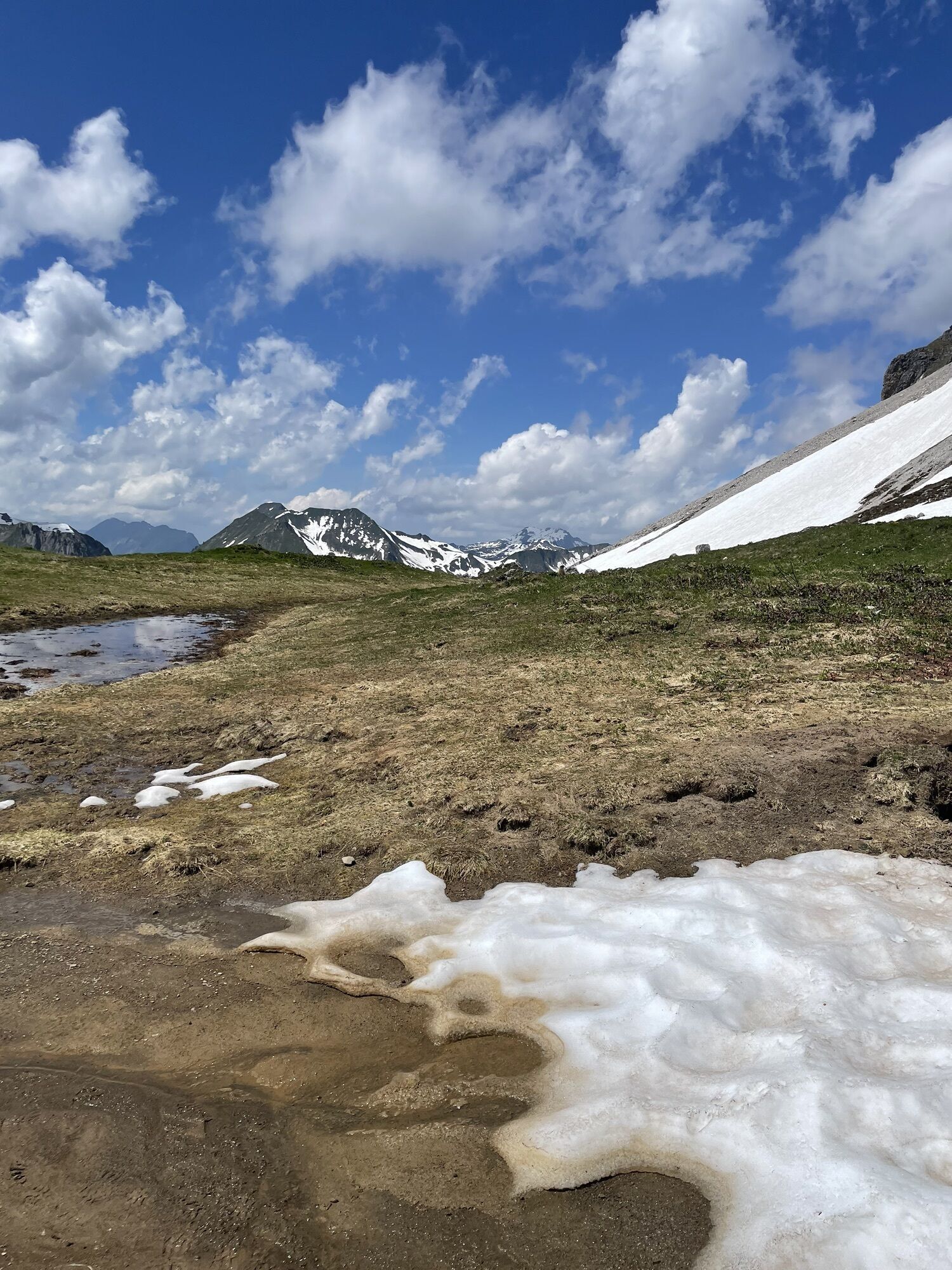
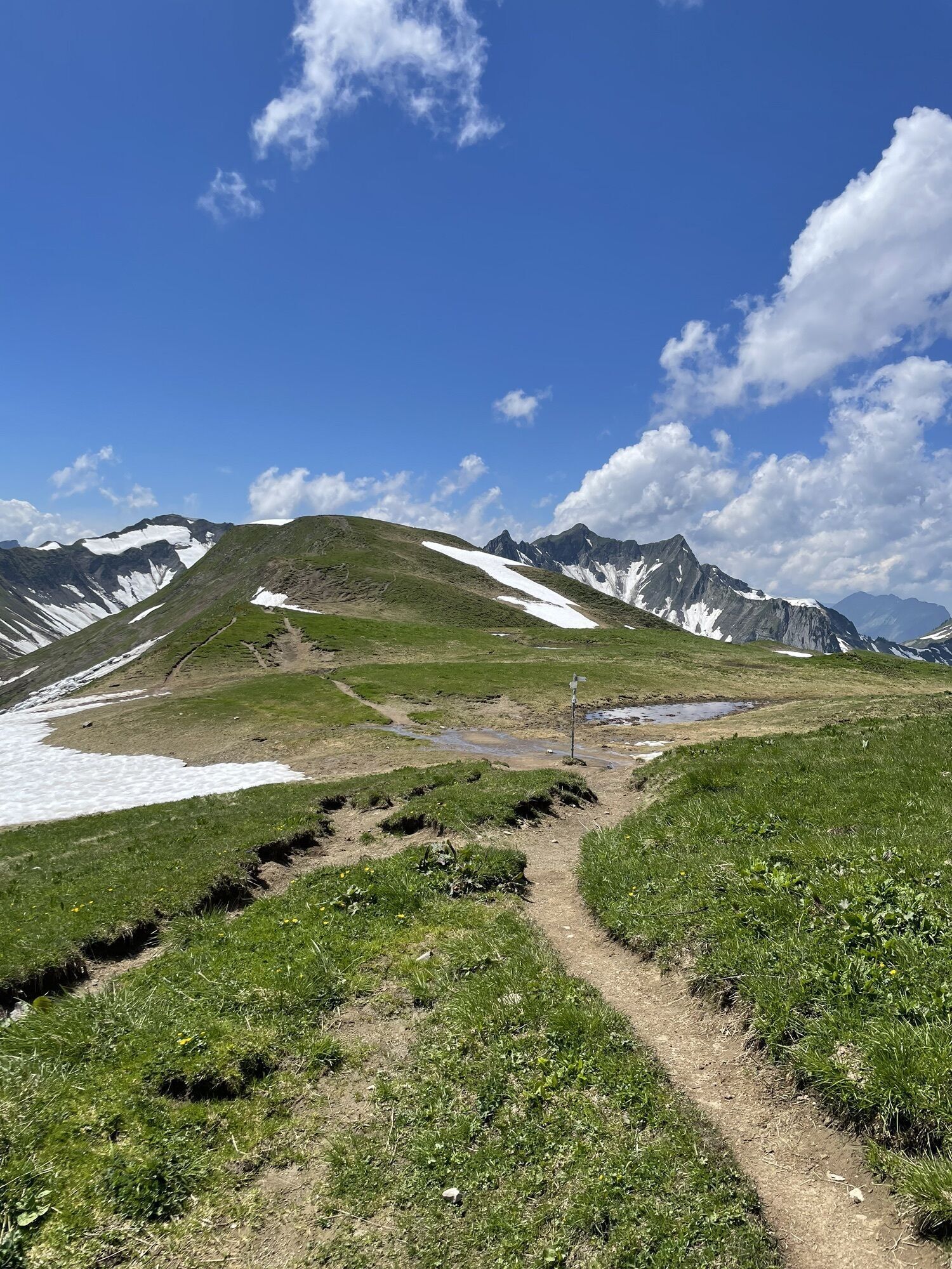
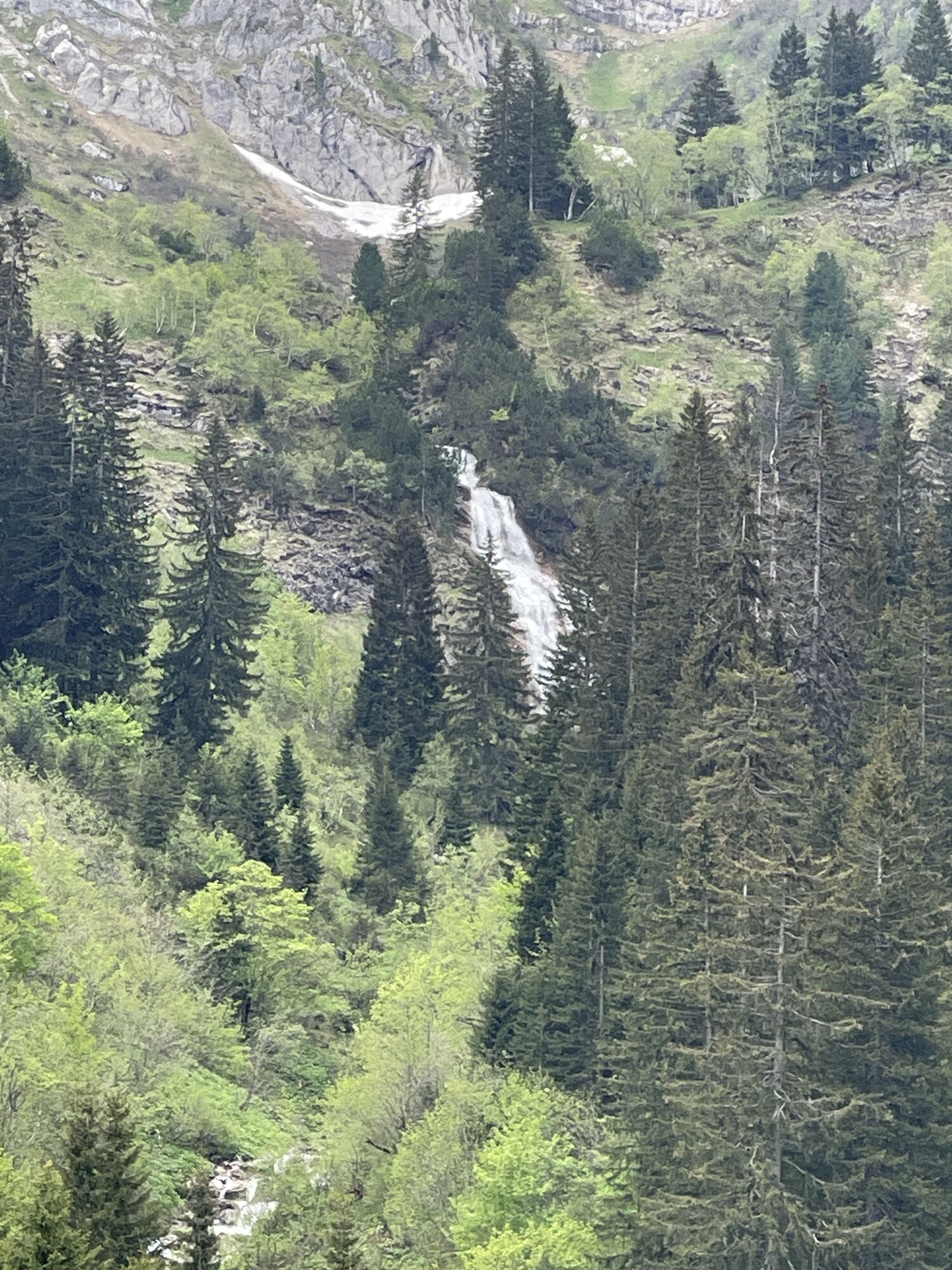
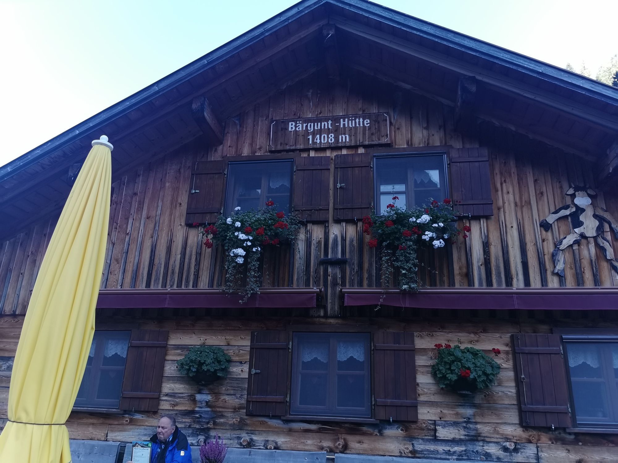
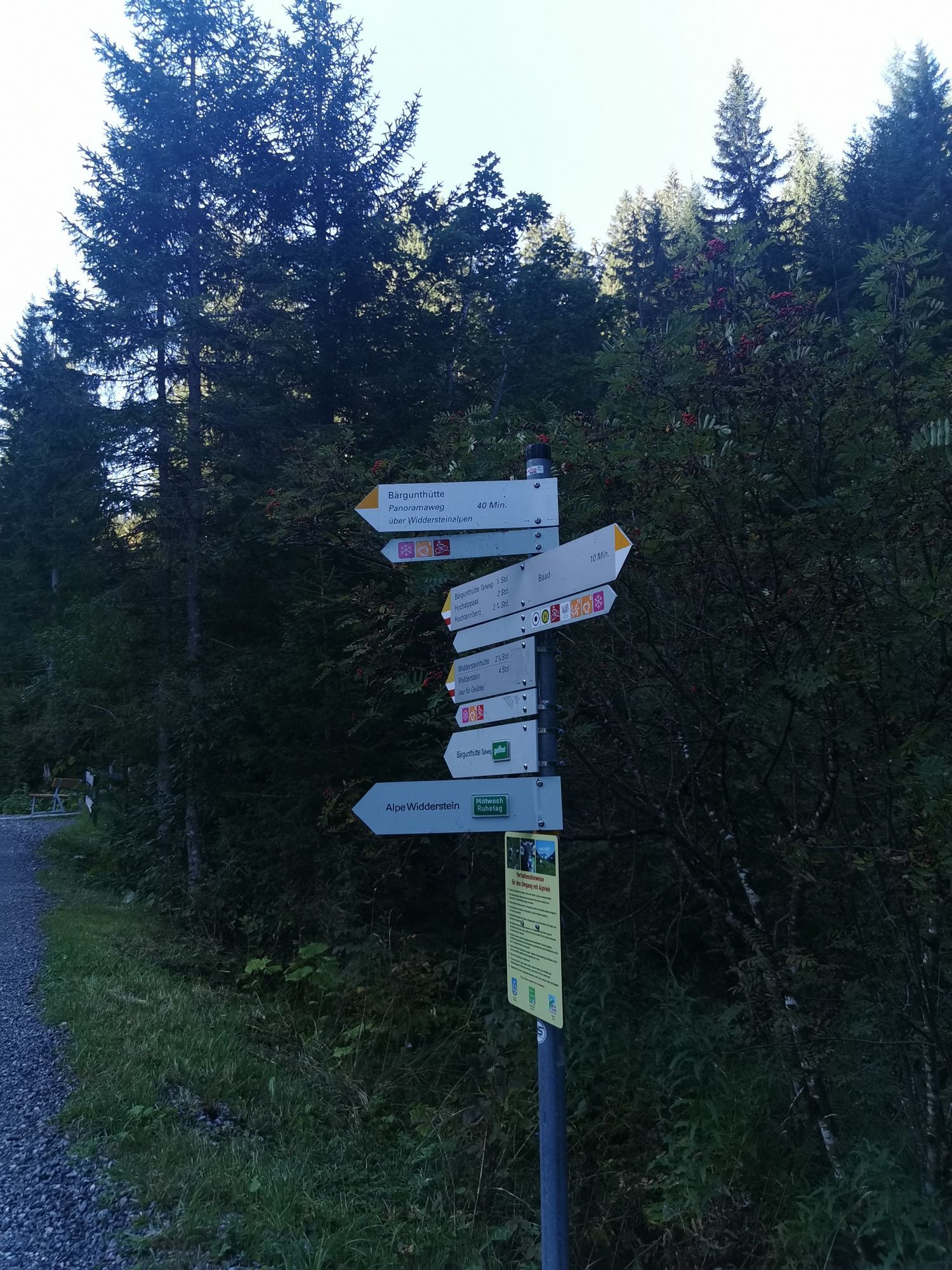
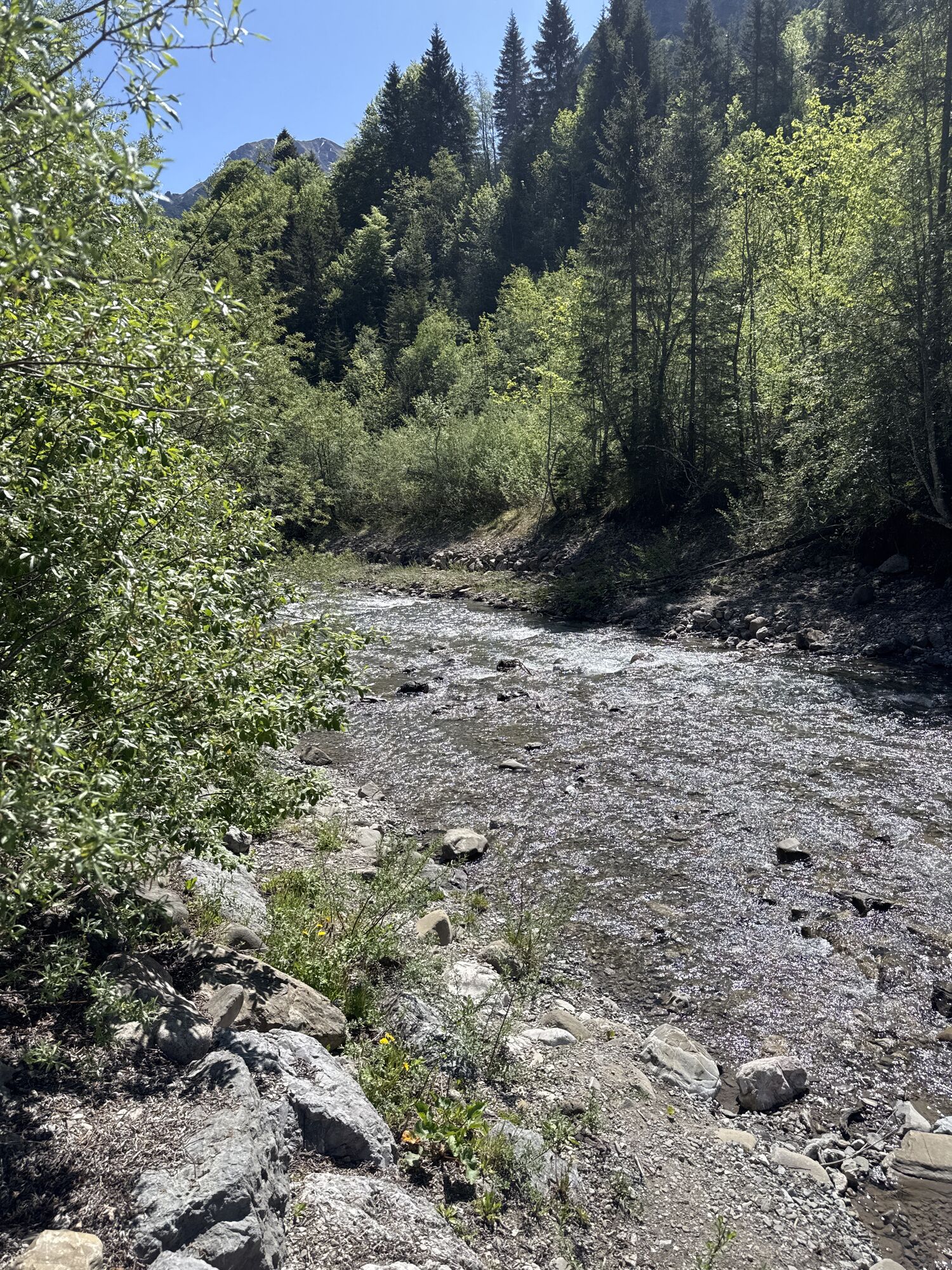
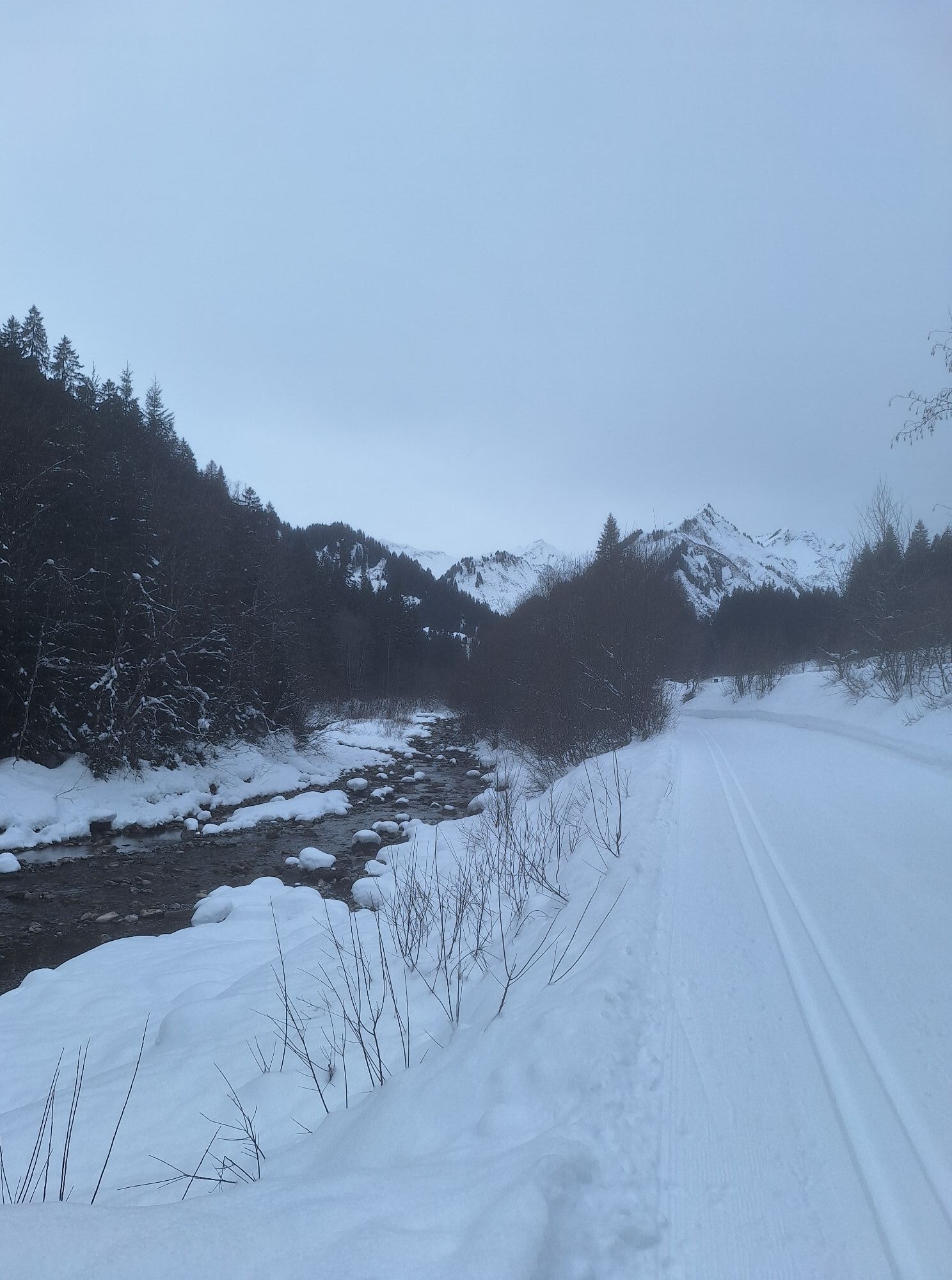
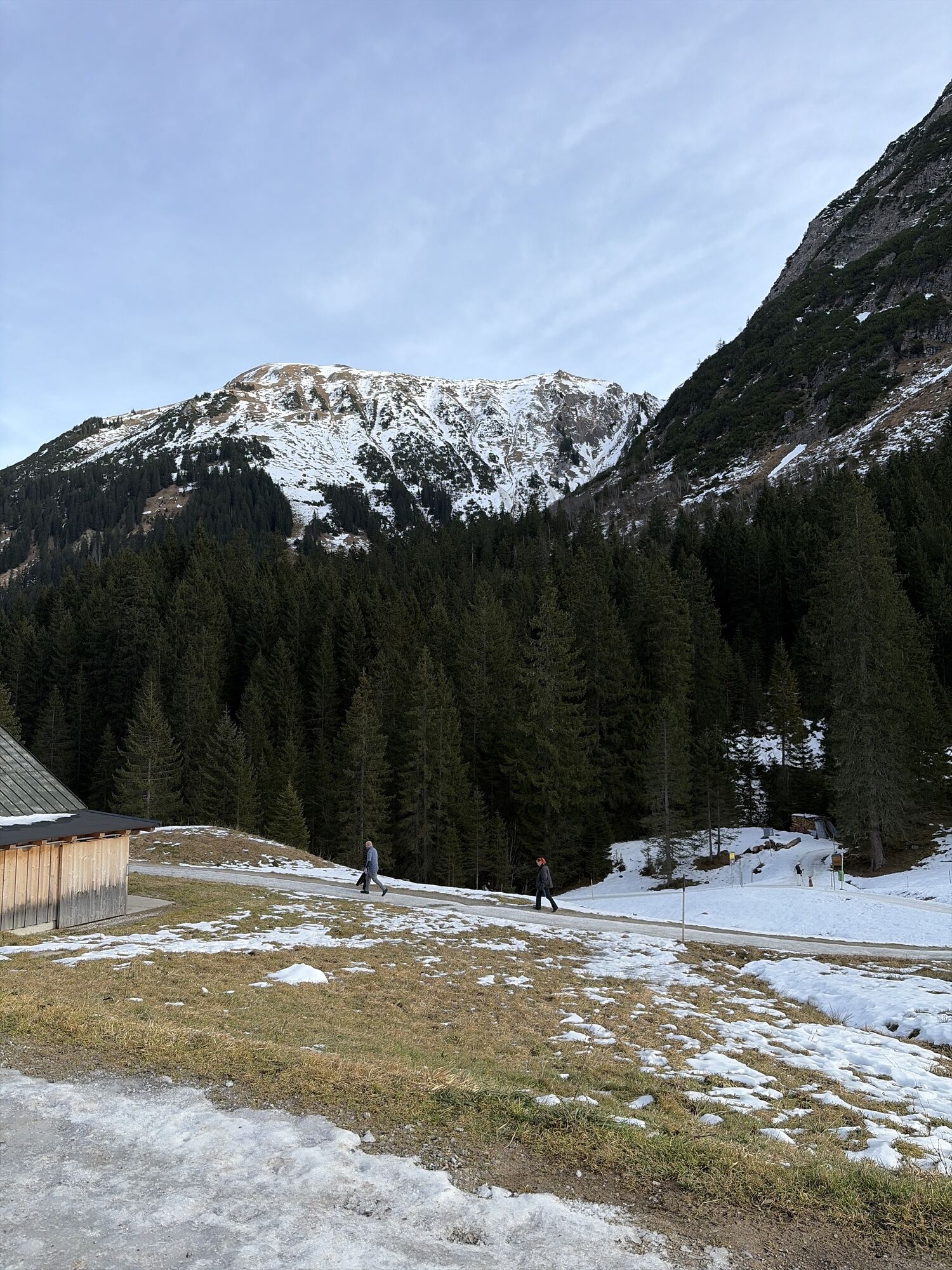
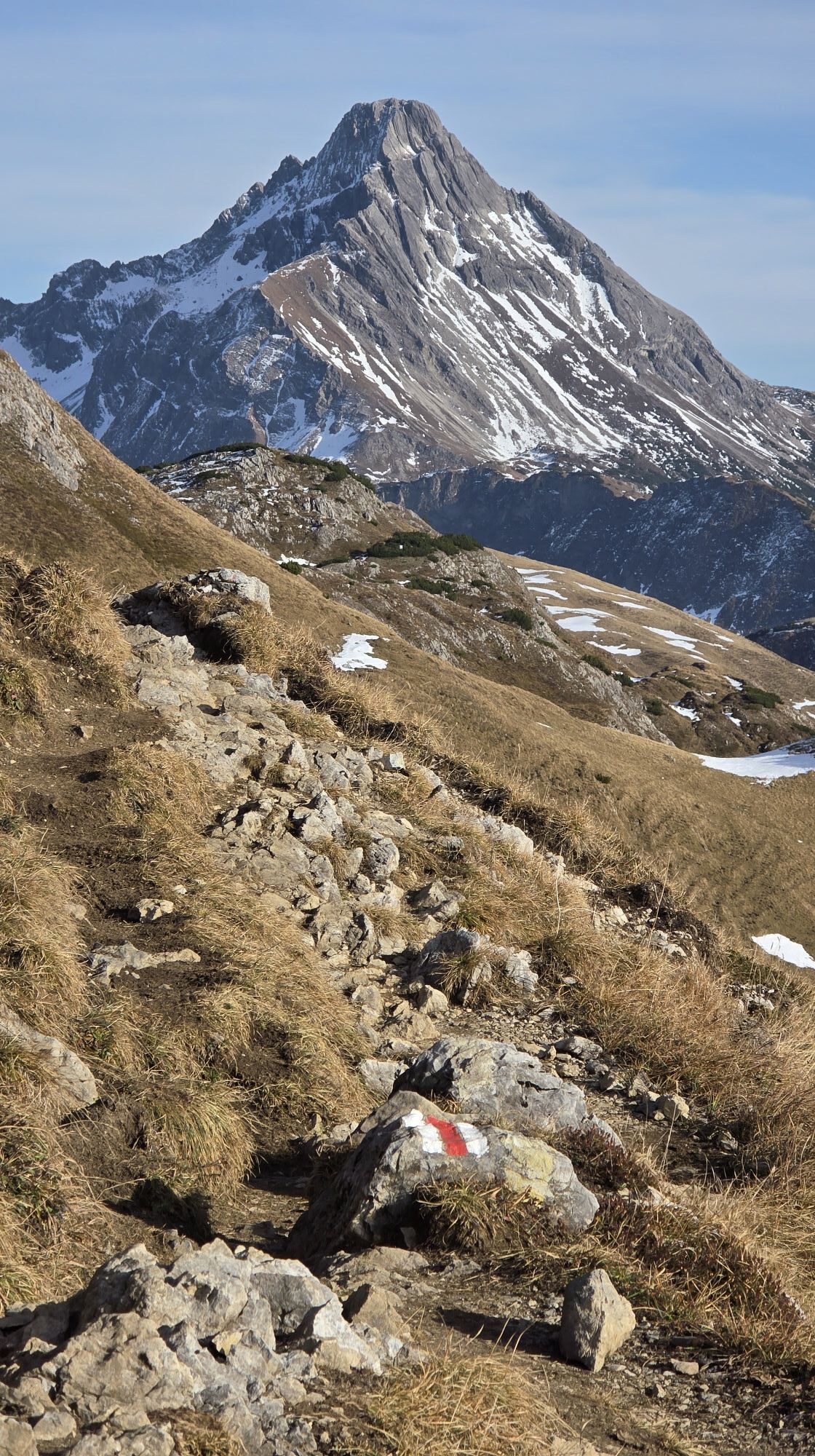
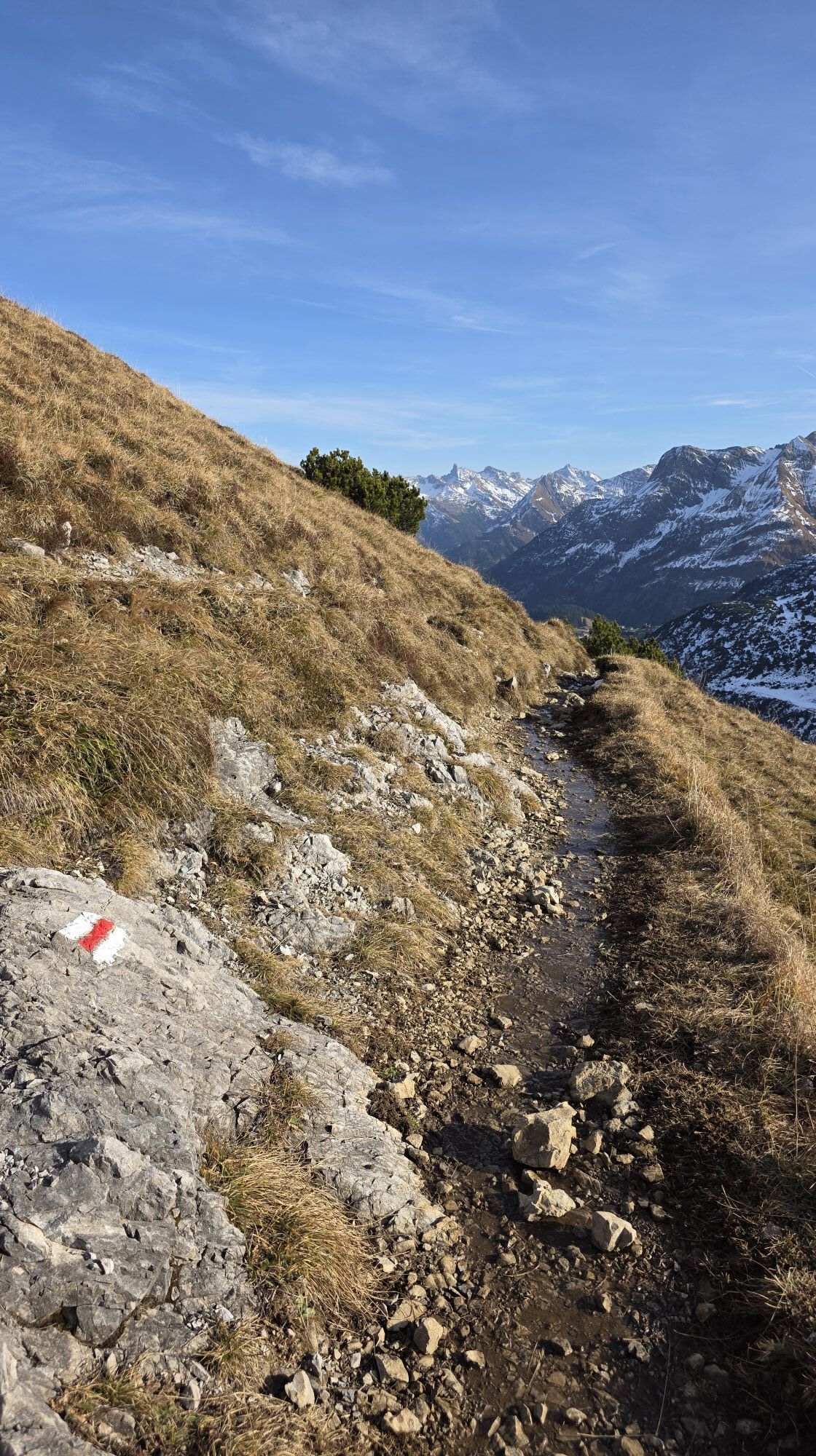
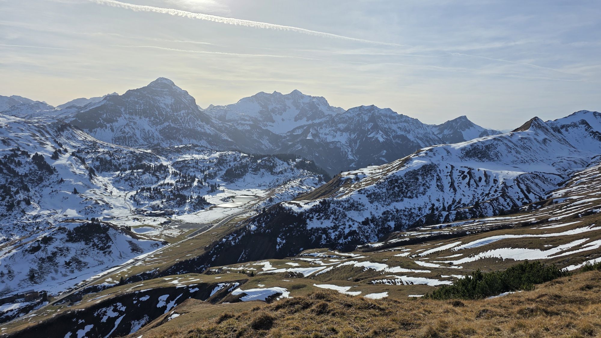
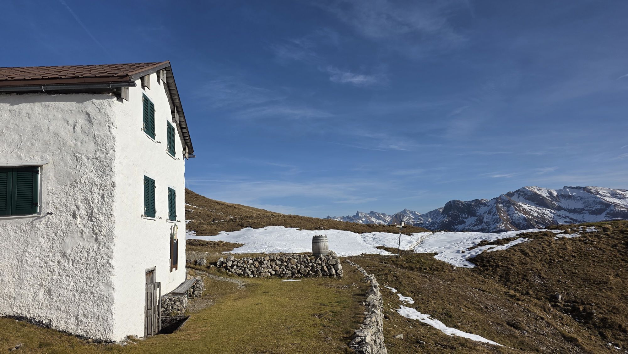
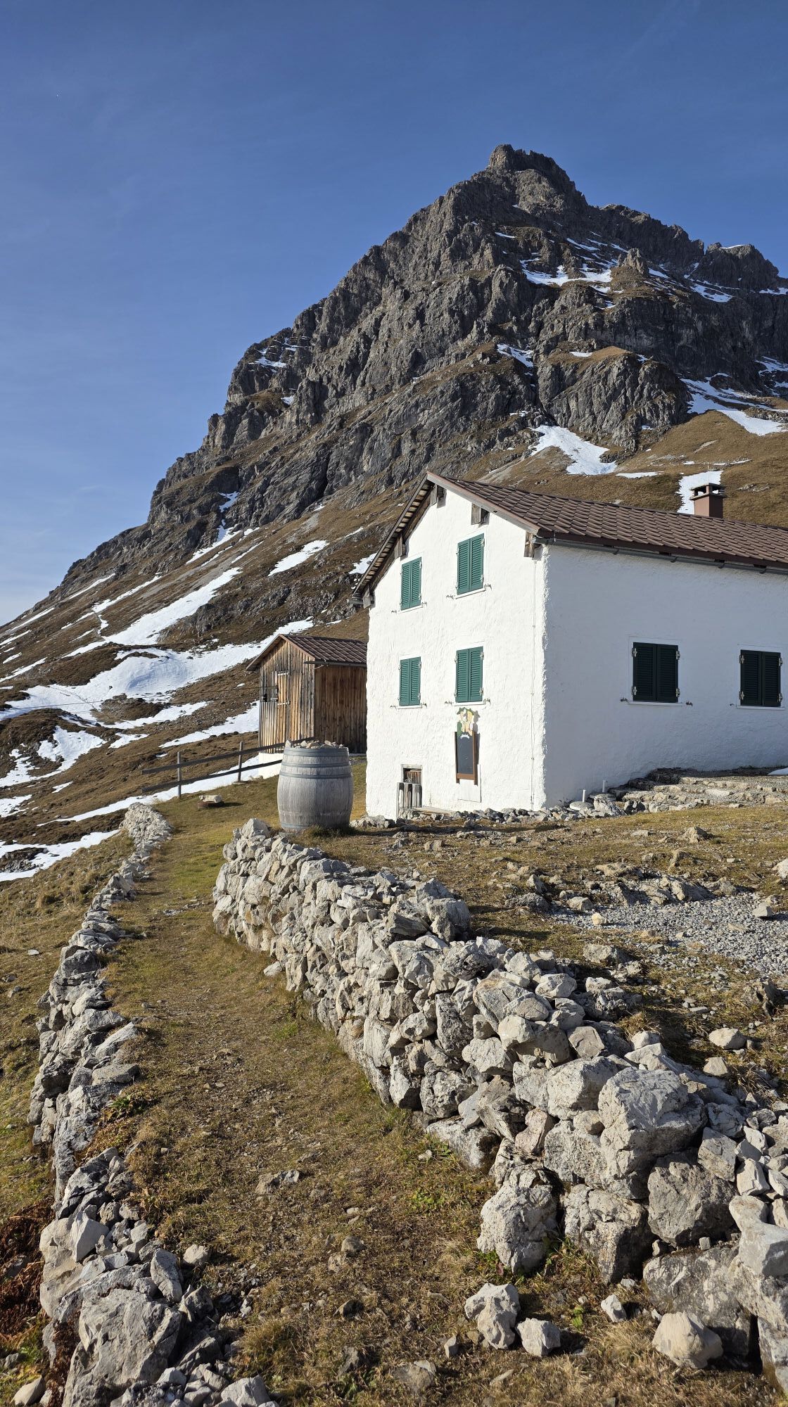
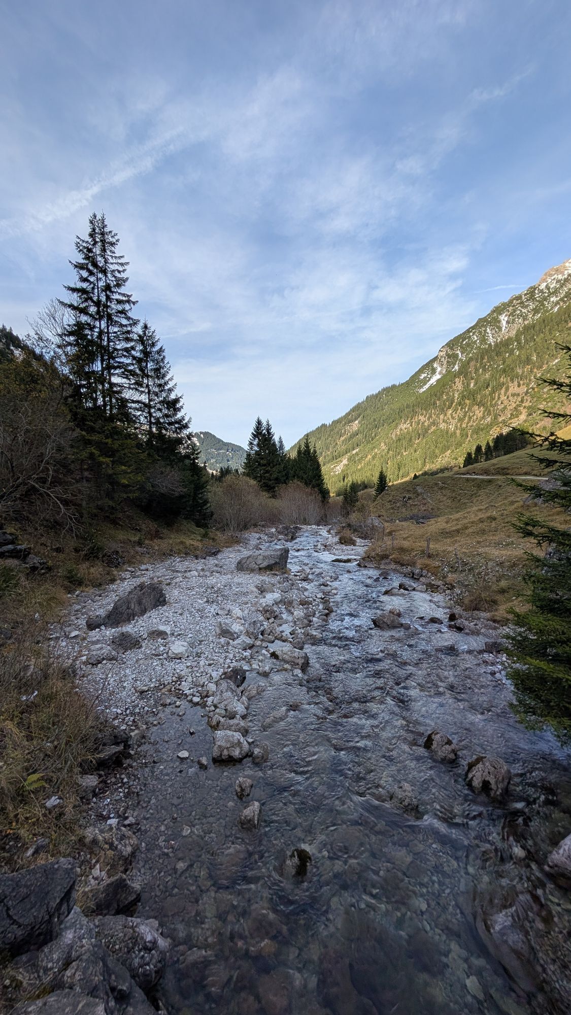
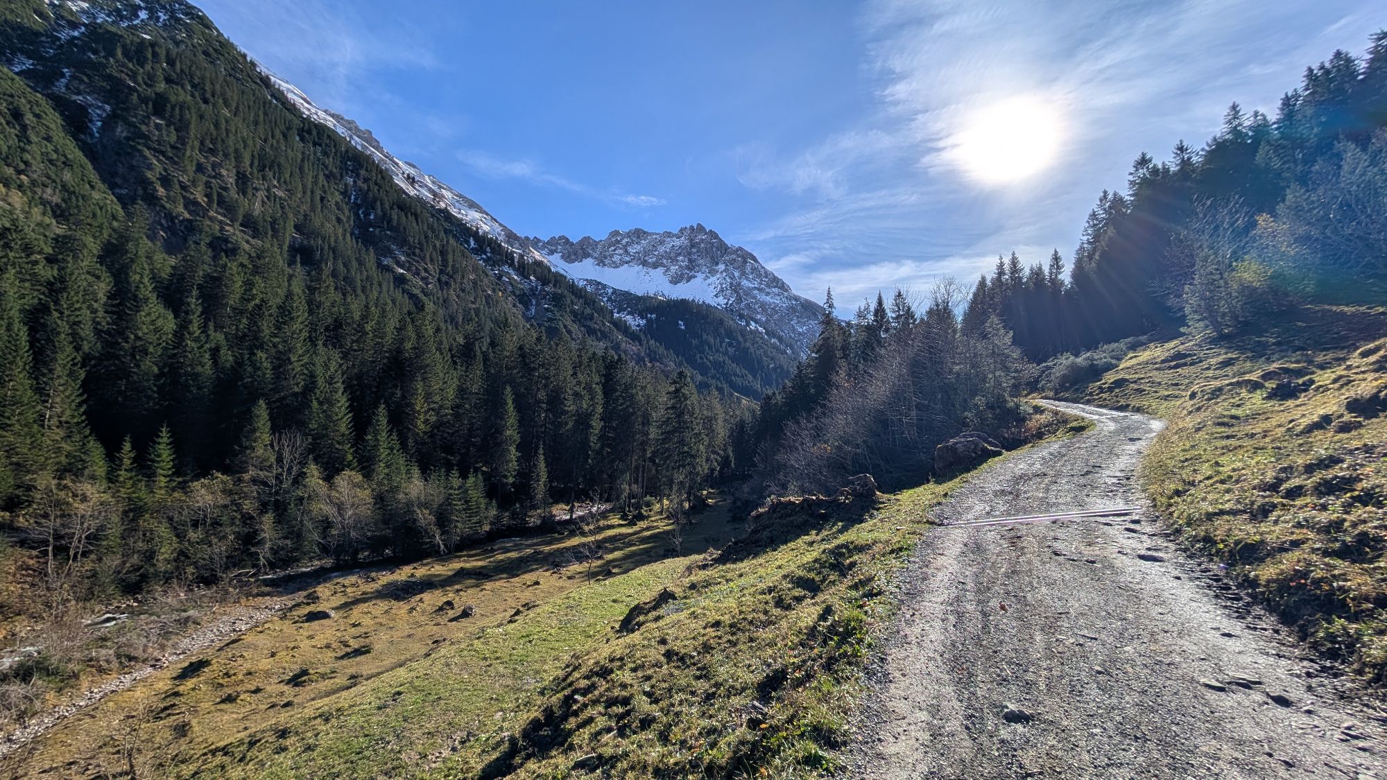
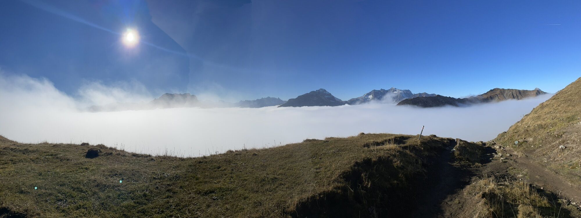
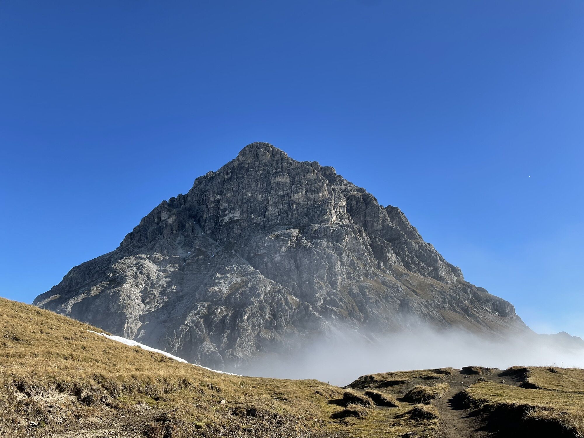
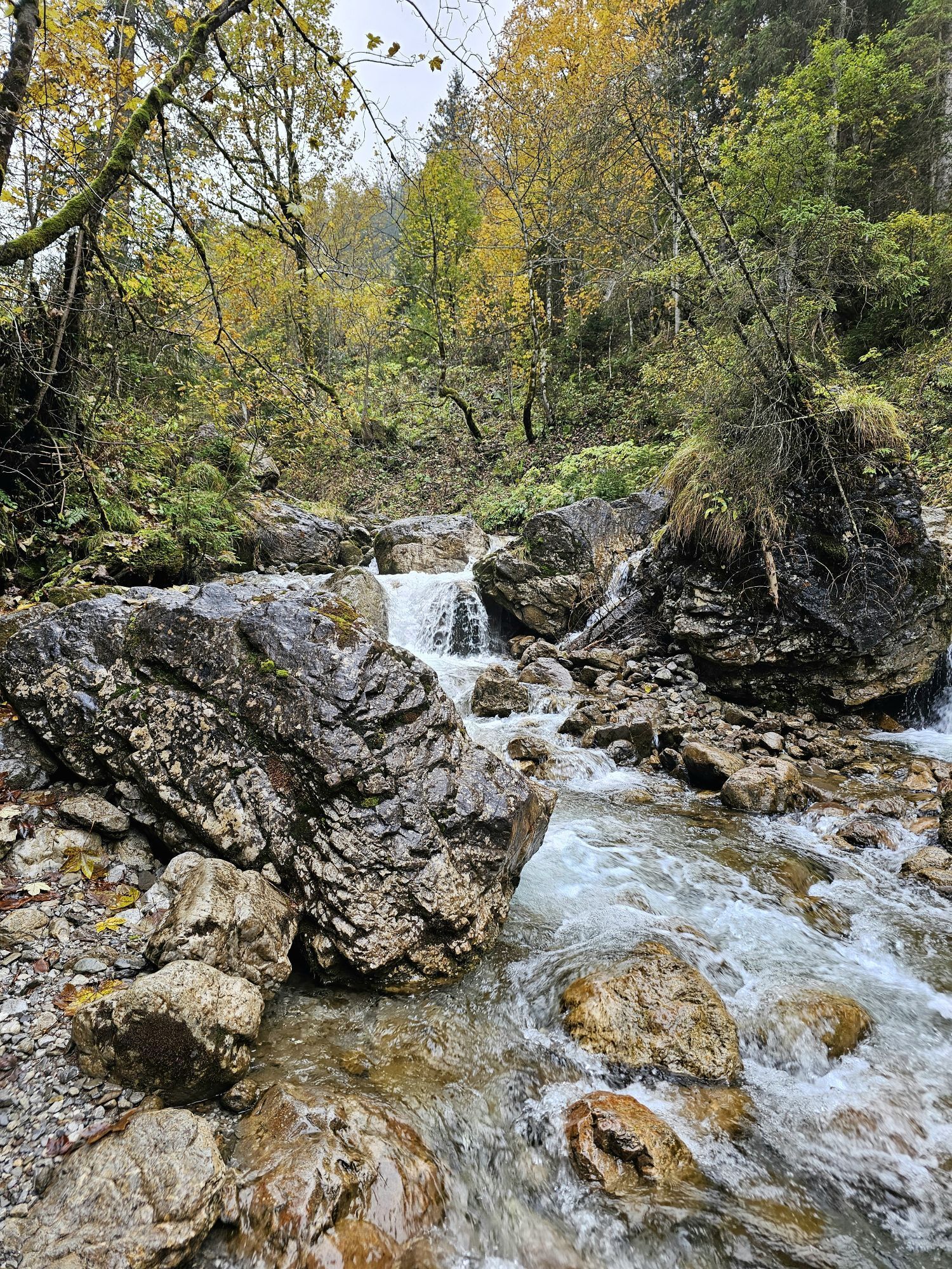
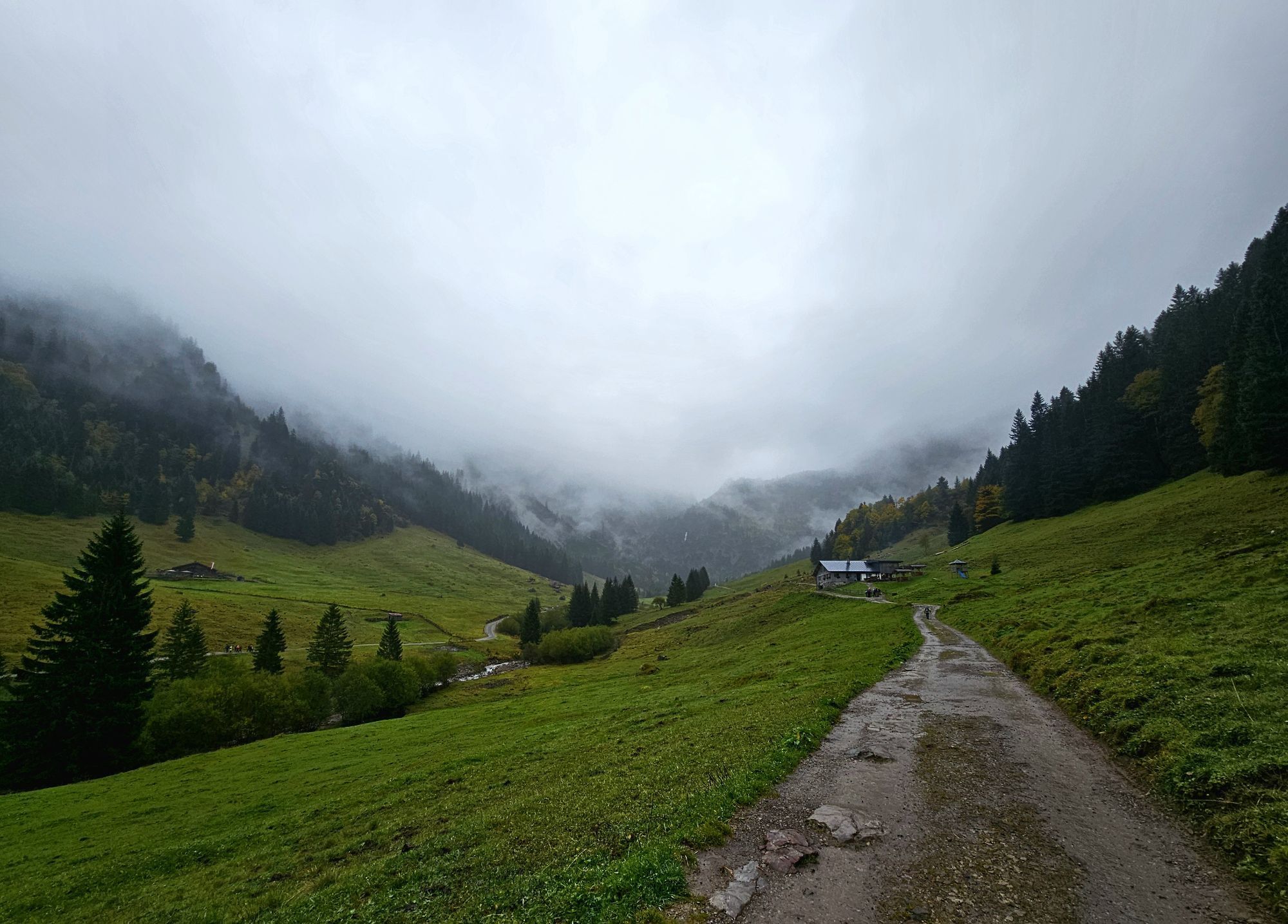
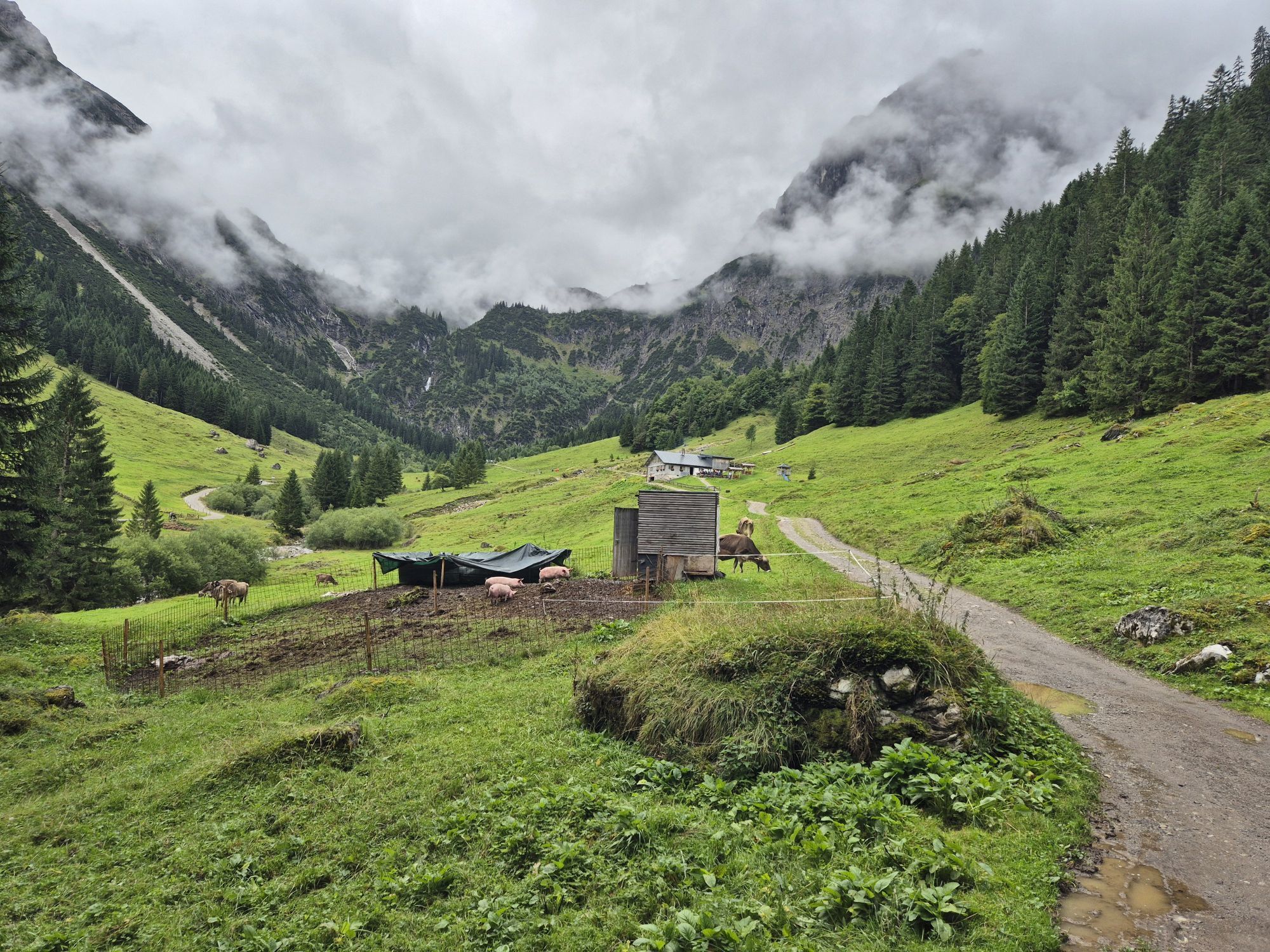

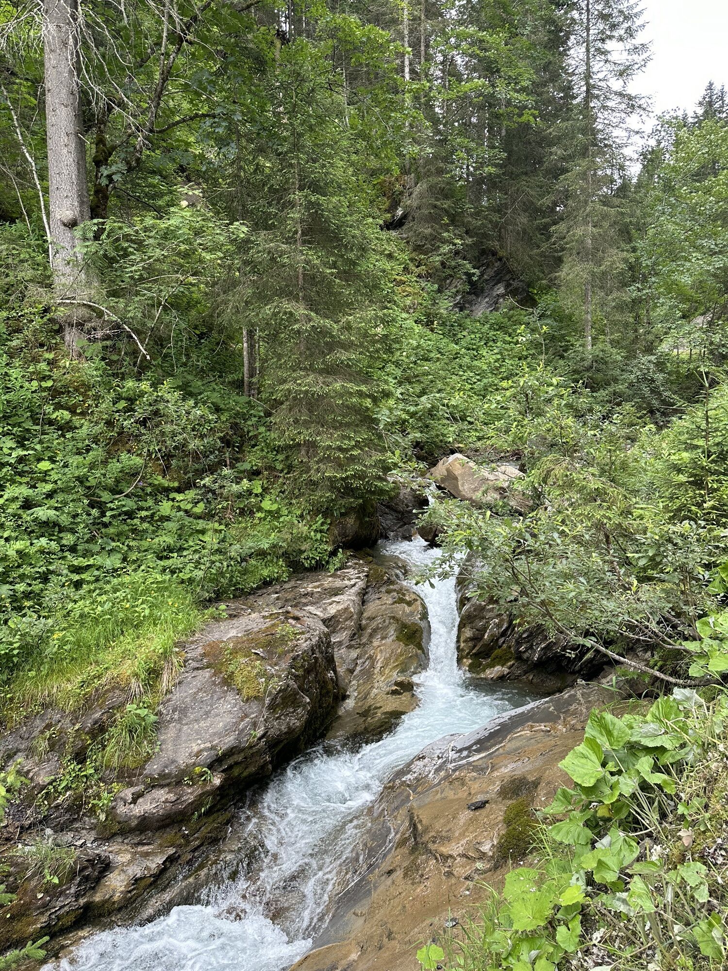
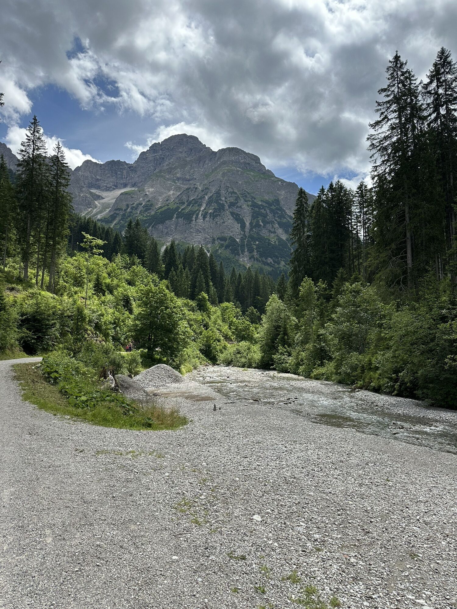
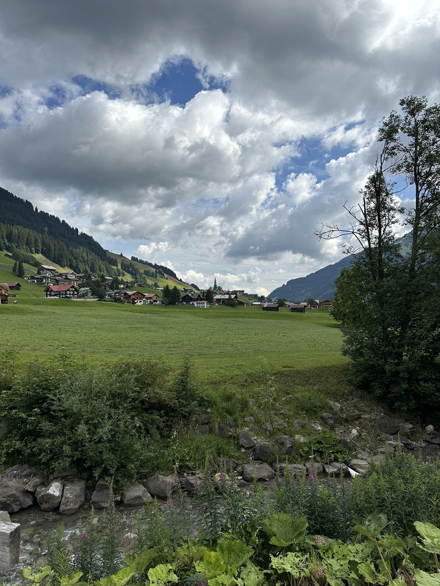

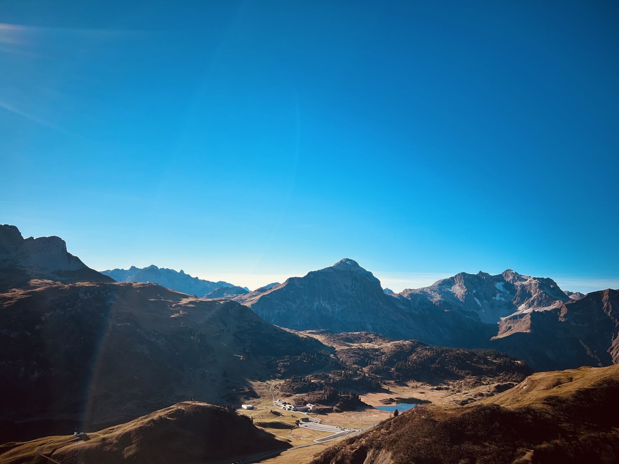
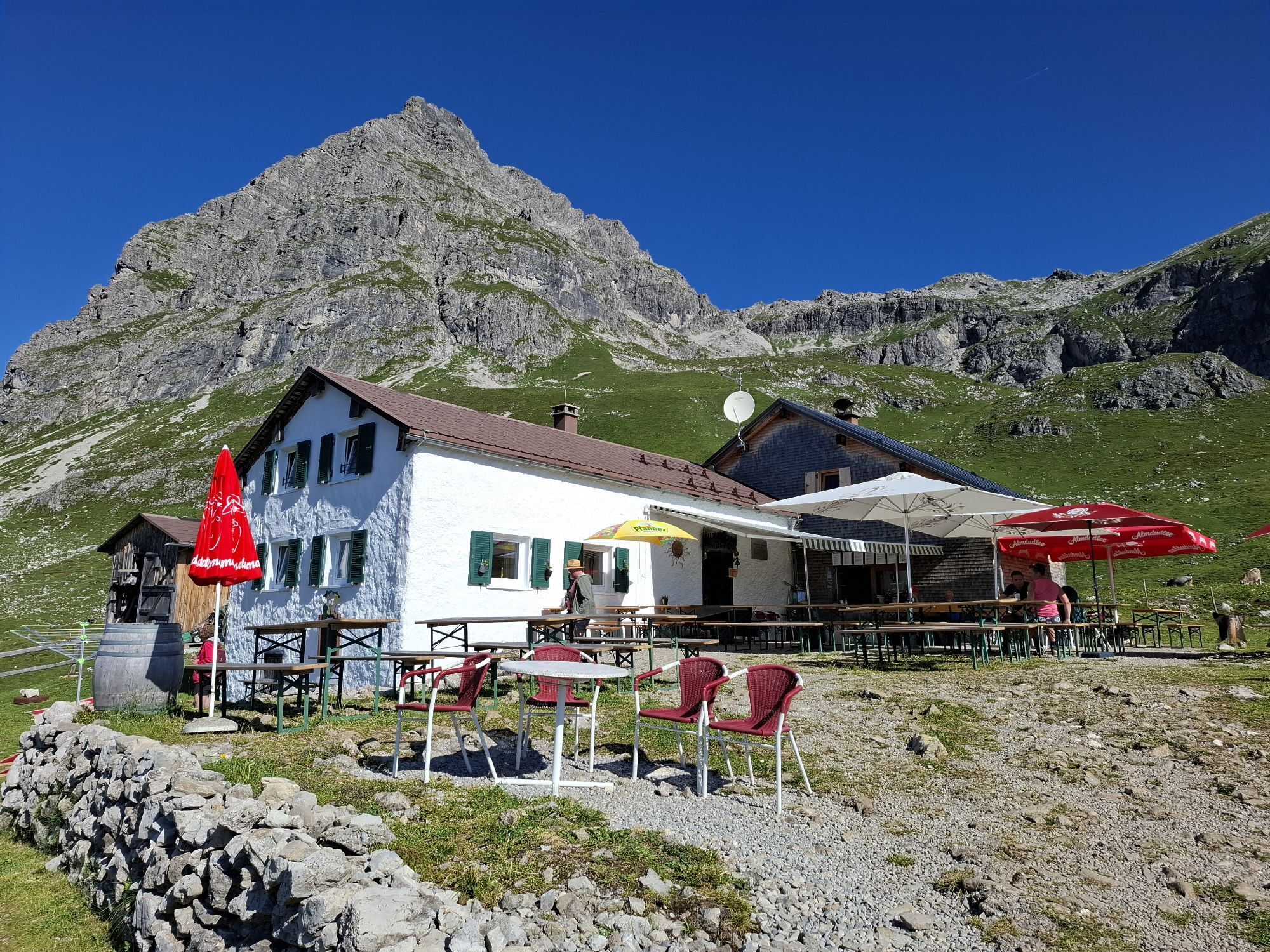
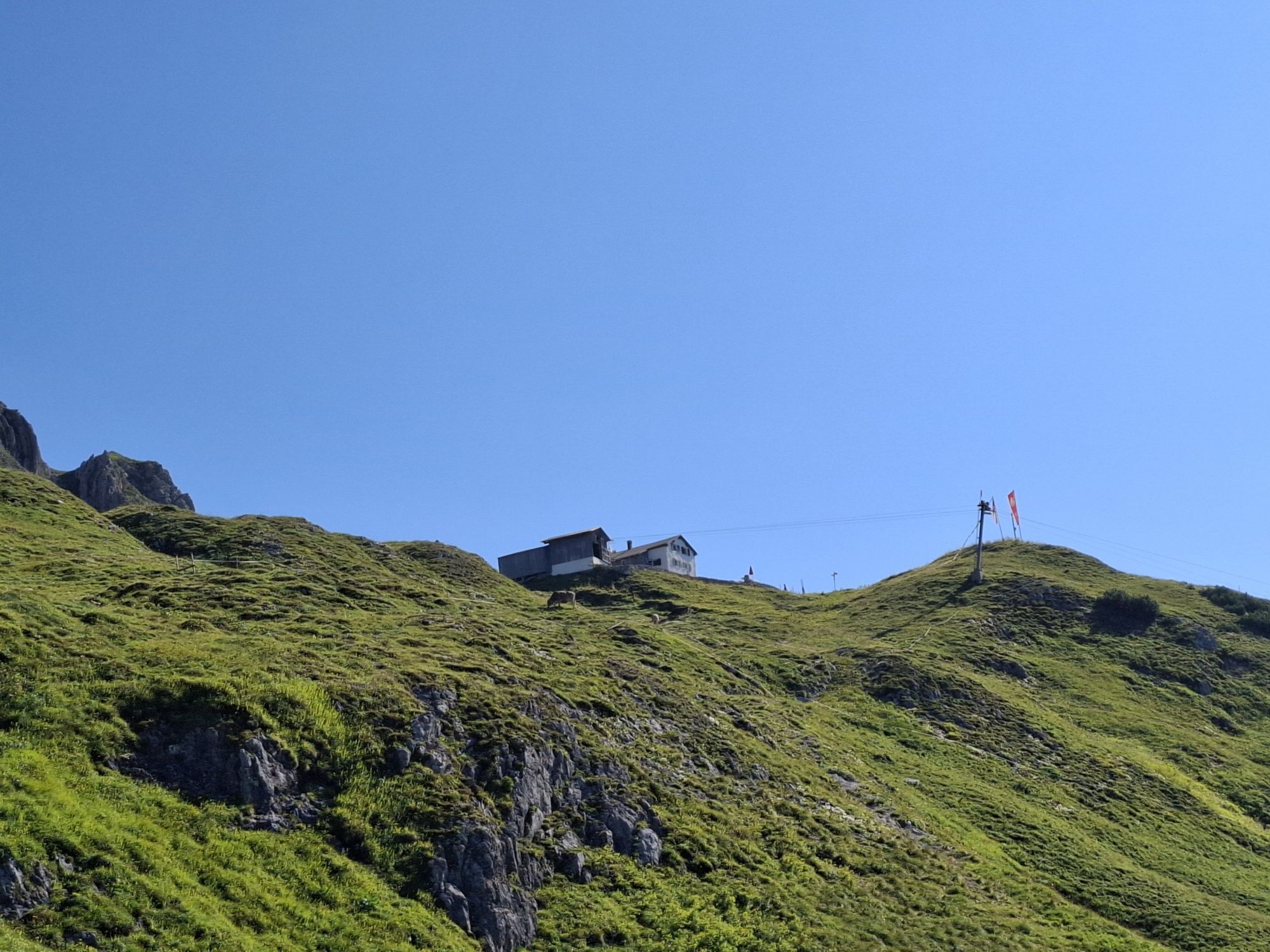
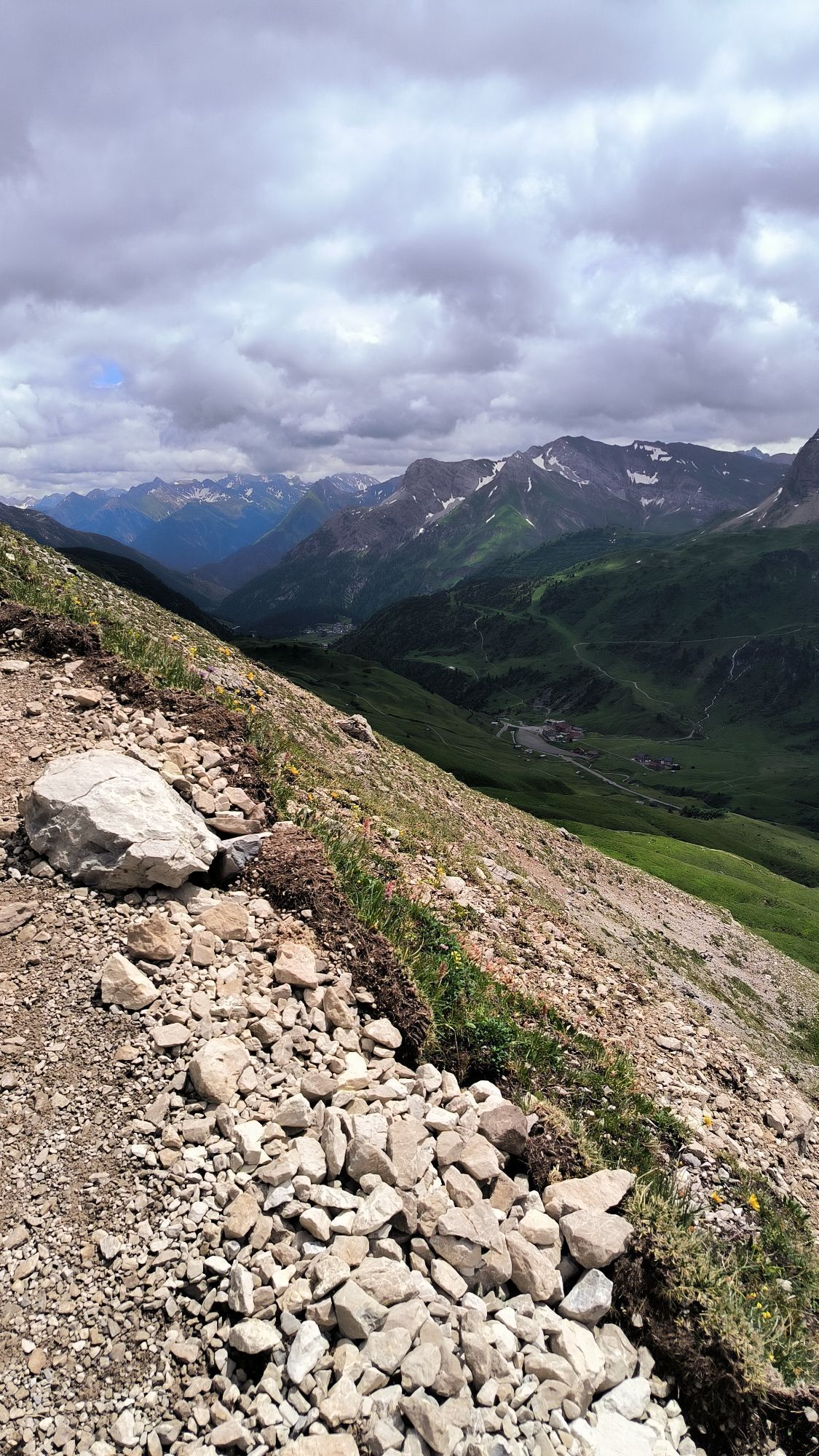
Starting from Baad, the Widderstein Trail runs along the Breitach on a wide gravel path down the valley. After an avalanche gallery, turning right through the Gemstelboden and over a wide alpine path through...
Starting from Baad, the Widderstein Trail runs along the Breitach on a wide gravel path down the valley. After an avalanche gallery, turning right through the Gemstelboden and over a wide alpine path through the Gemsteltal, past Bernhard's Gemstelalp and the Hintere Gemstelhütte. From here, the trail becomes noticeably steeper and narrower. Uphill through a temporarily exposed gorge secured with wire ropes to the Obere Gemstelhütte. From there, continuing to the right, ascending over partly somewhat rougher block terrain to the Gemstel Pass. Continuing past the Widdersteinhütte; from here the trail levels off and leads only with a slight incline up to the highest point of the Widderstein Trail. At the foot of the Widderstein almost at the height of the Hochalppass. From here follows a steep and technically somewhat demanding downhill over the rocky and rooty mountain trail down into the Bärgünntal. From the Bärgünthütte, the route widens again and a technically easy section follows to the finish in Baad.
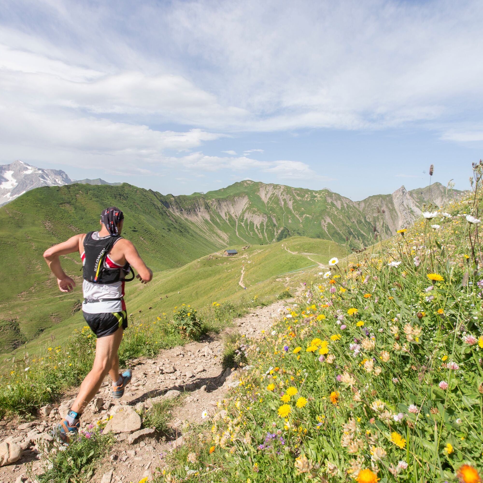
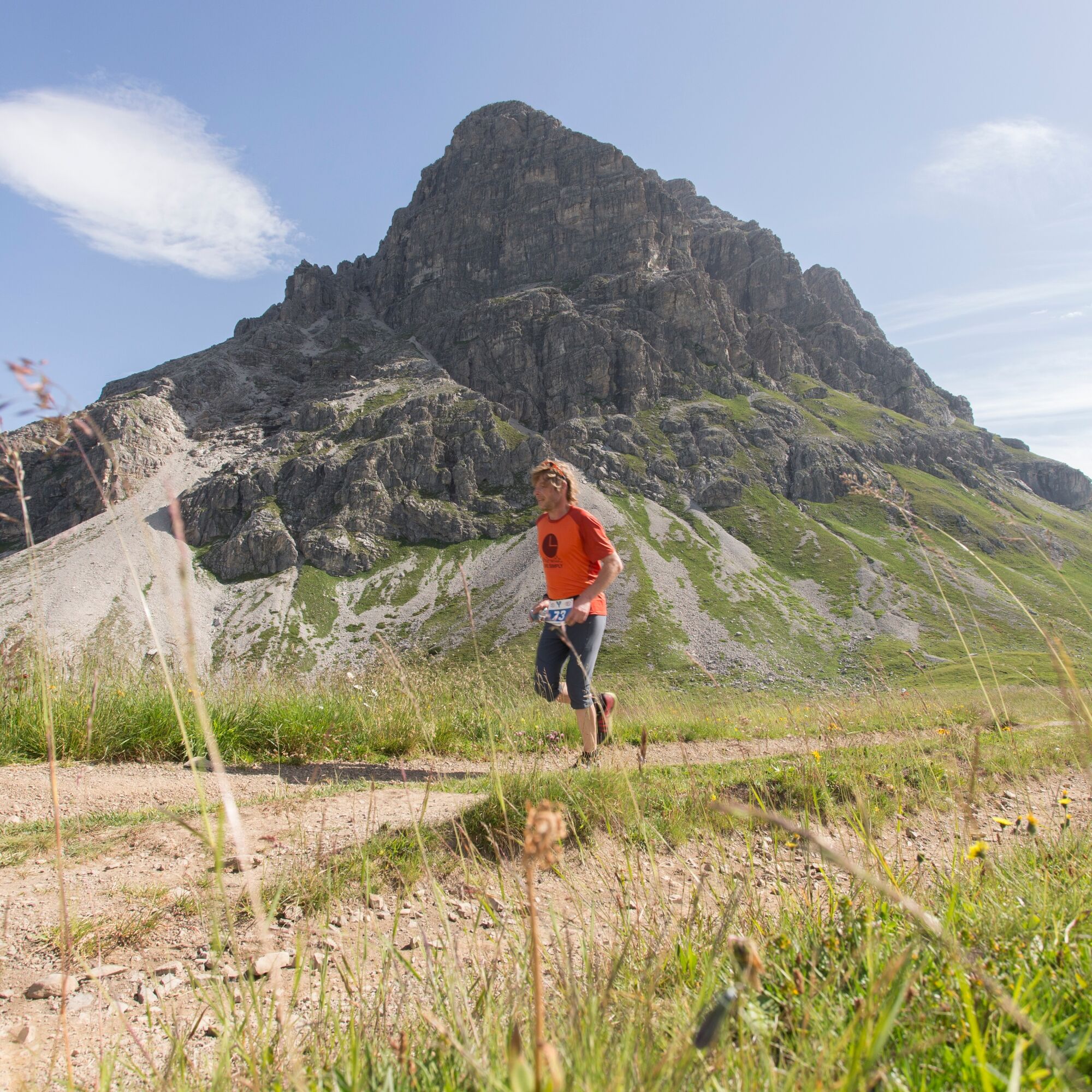
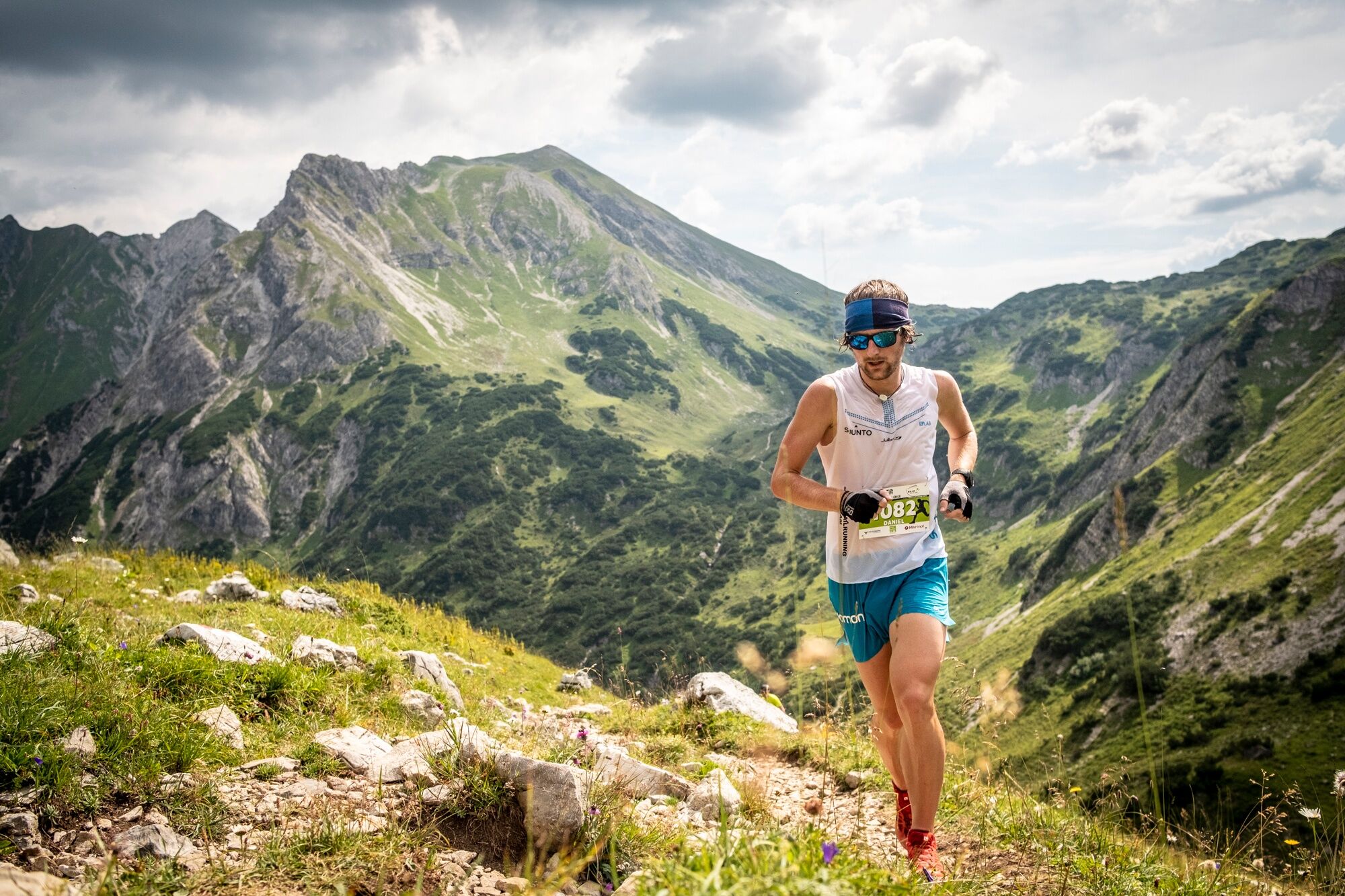

Baad - Gemstelboden - Gemsteltal - Bernhard's Gemstelalp - Hintere Gemstelhütte - Obere Gemstelhütte - Widdersteinhütte - Hochalppass - Bärgünthütte - Bärgünntal - Baad
Weather-appropriate trail running equipment including refreshments.
EMERGENCY CALL:
144 Alpine emergencies Vorarlberg
112 European emergency number (works with any mobile phone/network)
Most access routes from Germany converge in Ulm and continue via the A7. At the Allgäu motorway junction via the section of the A980 to the Waltenhofen junction and on the four-lane B19 via Sonthofen and Oberstdorf to the Kleinwalsertal. From Austria (Vorarlberg) and Switzerland, you reach the Kleinwalsertal via the Bregenzerwald (Hittisau) – Riedberg Pass – Fischen – Oberstdorf. Coming from Tyrol, the fastest way leads via the A7 to Kempten and further on the B19 towards Oberstdorf. You do not need a motorway vignette to drive into the valley.
Starting point of the route: Walserbus line 1, Baad bus stop
Paid parking spaces at the hiking parking lot in Baad
T3
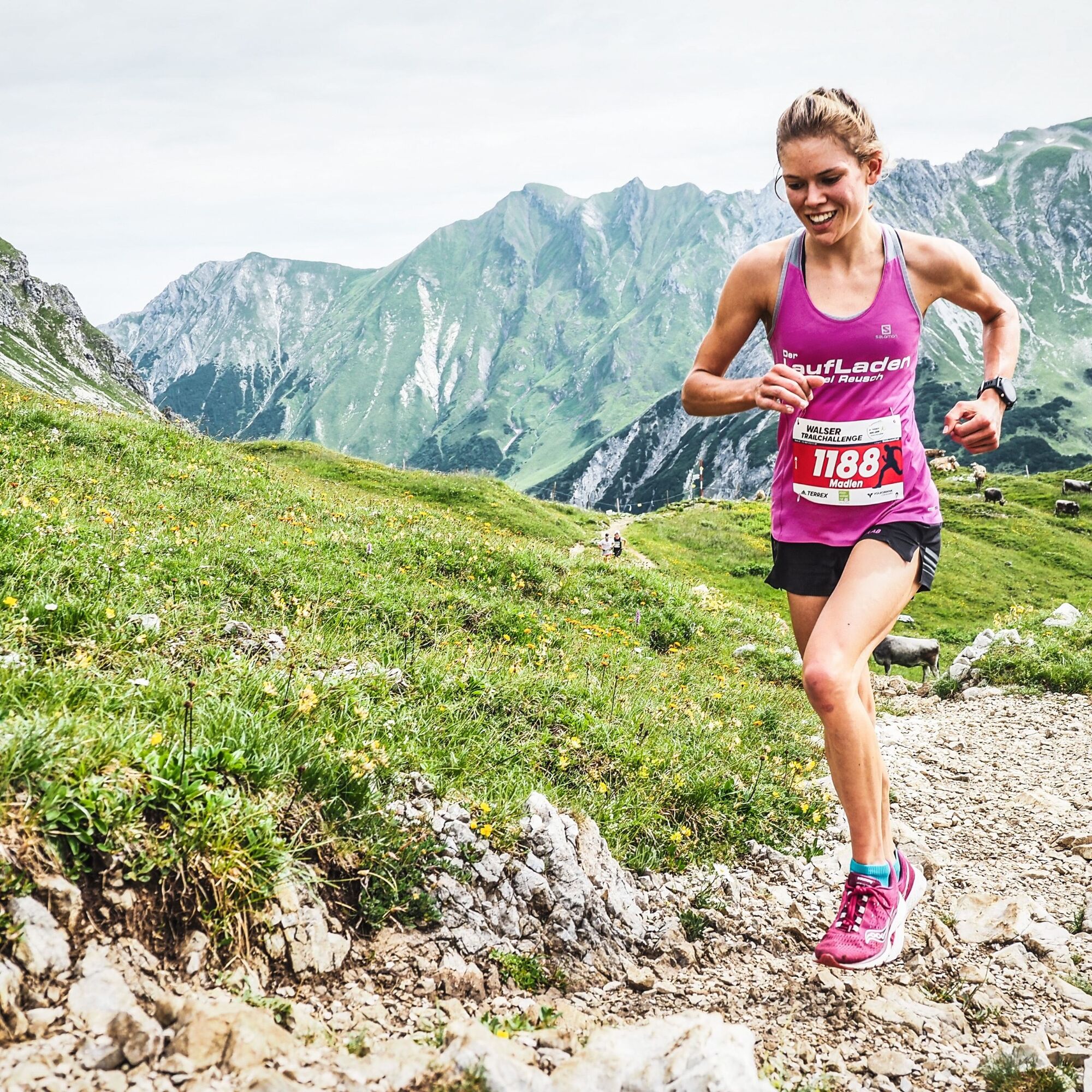
The Widderstein Trail, with 15 kilometers and 980 meters of elevation gain, is the "short course" at the annual trail running event in the Kleinwalsertal. Information about the Walser Trail Challenge at www.trailchallenge.at

Webové kamery z prohlídky
-
Warth / Hotel Walserberg
-
Zaferna Bergstation
-
Mindelheimer Hütte
-
Wildentalhütte
-
Mittelberg - Naturhotel Lärchenhof
-
Hirschegg - Hotel Walserhof
-
Hirschegg - Hotel Birkenhöhe
-
Hirschegg - Hotel Sonnenberg
-
Mittelberg Bödmen - Hotel Alte Krone
-
Warth-Schröcken - Saloberarena
-
Warth-Schröcken - Saloberjet
-
Schröcken
-
Mittelberg - Haus Walser Berge
-
Körbersee
-
Mittelberg - Bergpension Starzelhaus
-
Warth-Schröcken - Widdersteinhütte
-
Mittelberg - Gästehaus Otto Fritz
-
Schröcken - Oberboden
-
Walmendingerhorn
-
Walmendingerhorn
-
Kleinwalsertal
-
Hirschegg - Hotel Birkenhöhe
-
Kleinwalsertal - Ifenbahn
-
Skischule Warth
-
Warth
-
Kleinwalsertaler Rosenhof
-
Gästehaus Panorama
-
Alpenwald
-
Haus Berg & Tal / Hirschegg
-
Mittelberg
-
Parsennbahn - Kleinwalsertal
Získejte přehled
Vždy živě na místě s více než 9 500 webkamerami. bergfex Jako uživatel Pro si nyní můžete zobrazit odpovídající webové kamery pro mnoho prohlídek v aplikaci prohlídky z. Můžete si tak přímo prohlédnout aktuální podmínky.

Oblíbené prohlídky v okolí
-
4.4
Mountain tour over the Fellhorn ridge
středníTuristika 8.24 km -
4.4
Circular hike through the Bärgunttal
středníTuristika 4.75 km -
4.7
Widderstein Runde von Baad
středníTuristika 15.8 km -
4.9
E5 - 1. Etappe: Oberstdorf - Kemptner Hütte
světlodálková pěší trasa 7.80 km -
4.7
Breitachklamm Rundweg (Alpe Dornach)
středníTuristika 7.65 km -
4.2
Hiking through the Schwarzwassertal via Melköde to the Schwarzwasserhütte
středníTuristika 5.08 km -
4.2
Kanzelwand- Fellhorn- Kanzelwand
světloTuristika 7.60 km -
4.8
Biberkopf
heavyTuristika 7.70 km -
3.4
Mountain tour over the Hoher Ifen
heavyTuristika 14.3 km -
4.4
Circular hike through the Derratal
středníTuristika 8.11 km
Pěší turistika a stopování


Nenechte si ujít nabídky a inspiraci pro vaši příští dovolenou
Vaše e-mailová adresa byl přidán do poštovního seznamu.





