







Ski tour from Mahdtalhaus to Toreck
Úroveň obtížnosti: PD+
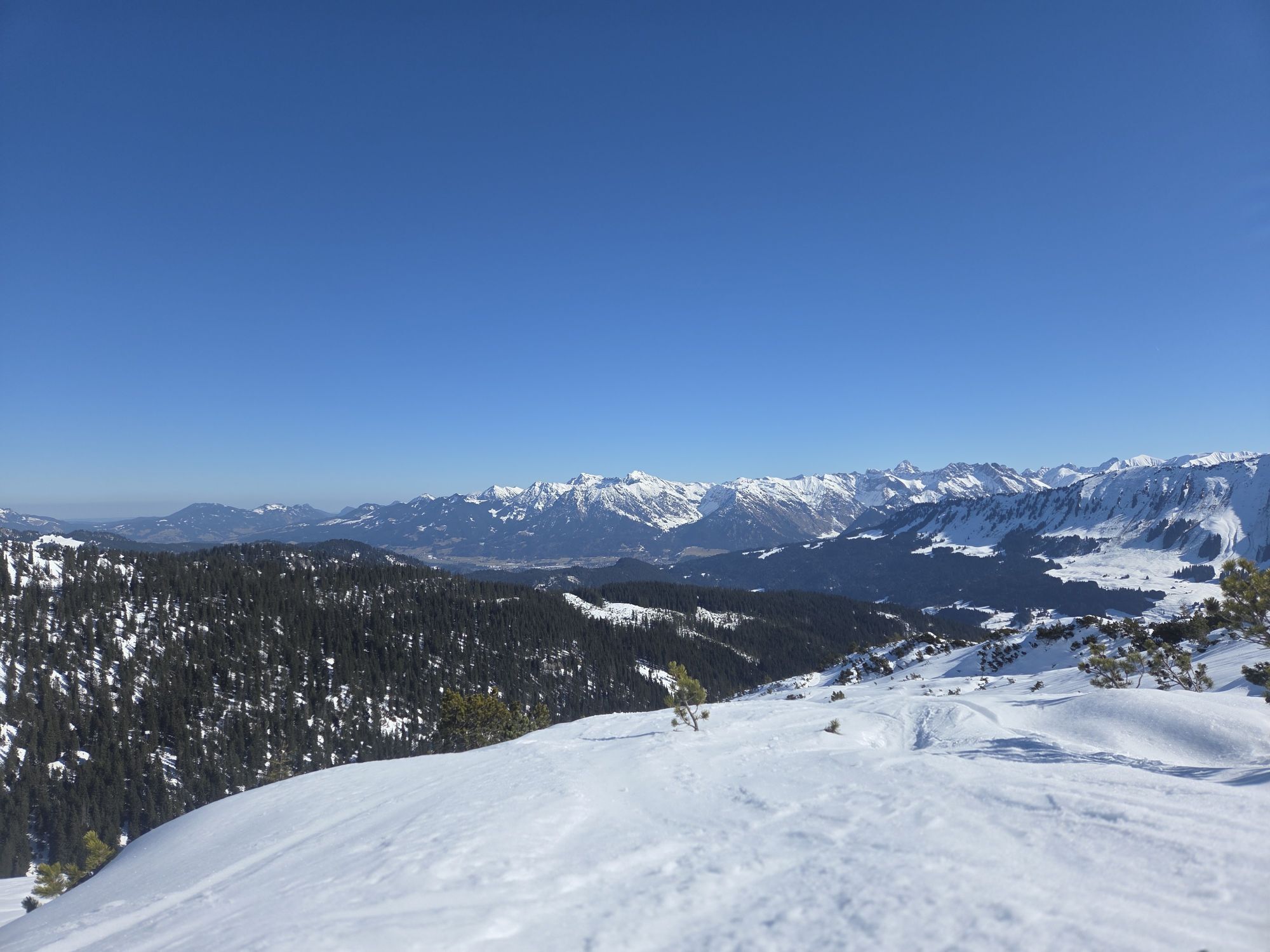
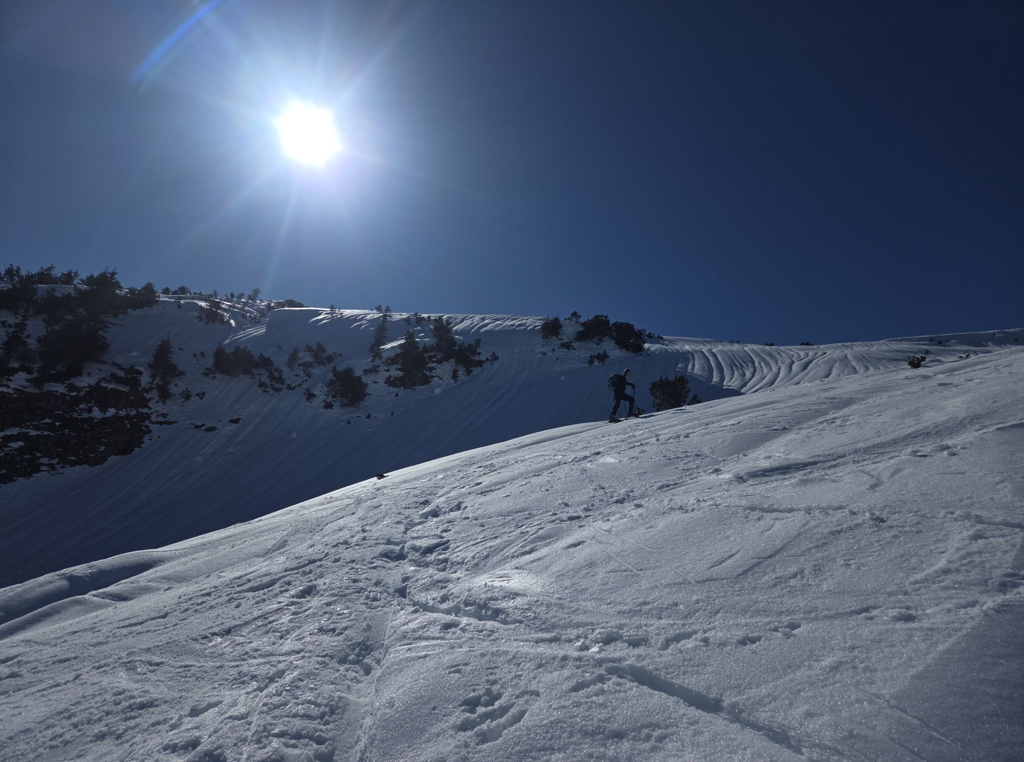
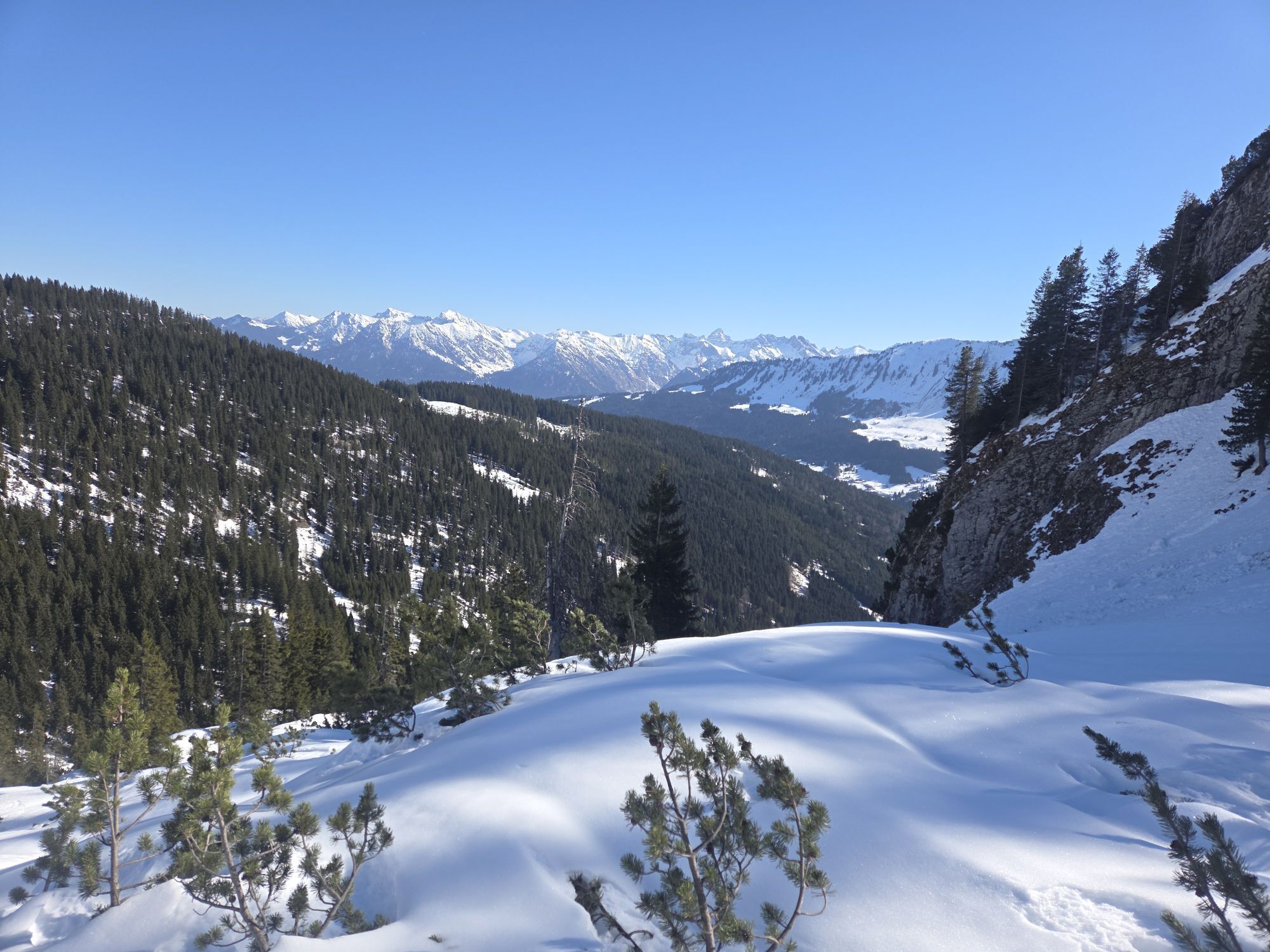
A scenically magnificent ski tour starting in the hamlet of Innerschwende. The ascent fascinates with the wild landscape of the Gottesacker walls & the upper section impresses with a grand mountain panorama.
...A scenically magnificent ski tour starting in the hamlet of Innerschwende. The ascent fascinates with the wild landscape of the Gottesacker walls & the upper section impresses with a grand mountain panorama.
Conscious nature experience stands for respectful coexistence among winter sports enthusiasts and towards nature. The described route takes into account the designated wildlife protection and forest-wildlife reserve areas in the region.

Ascent
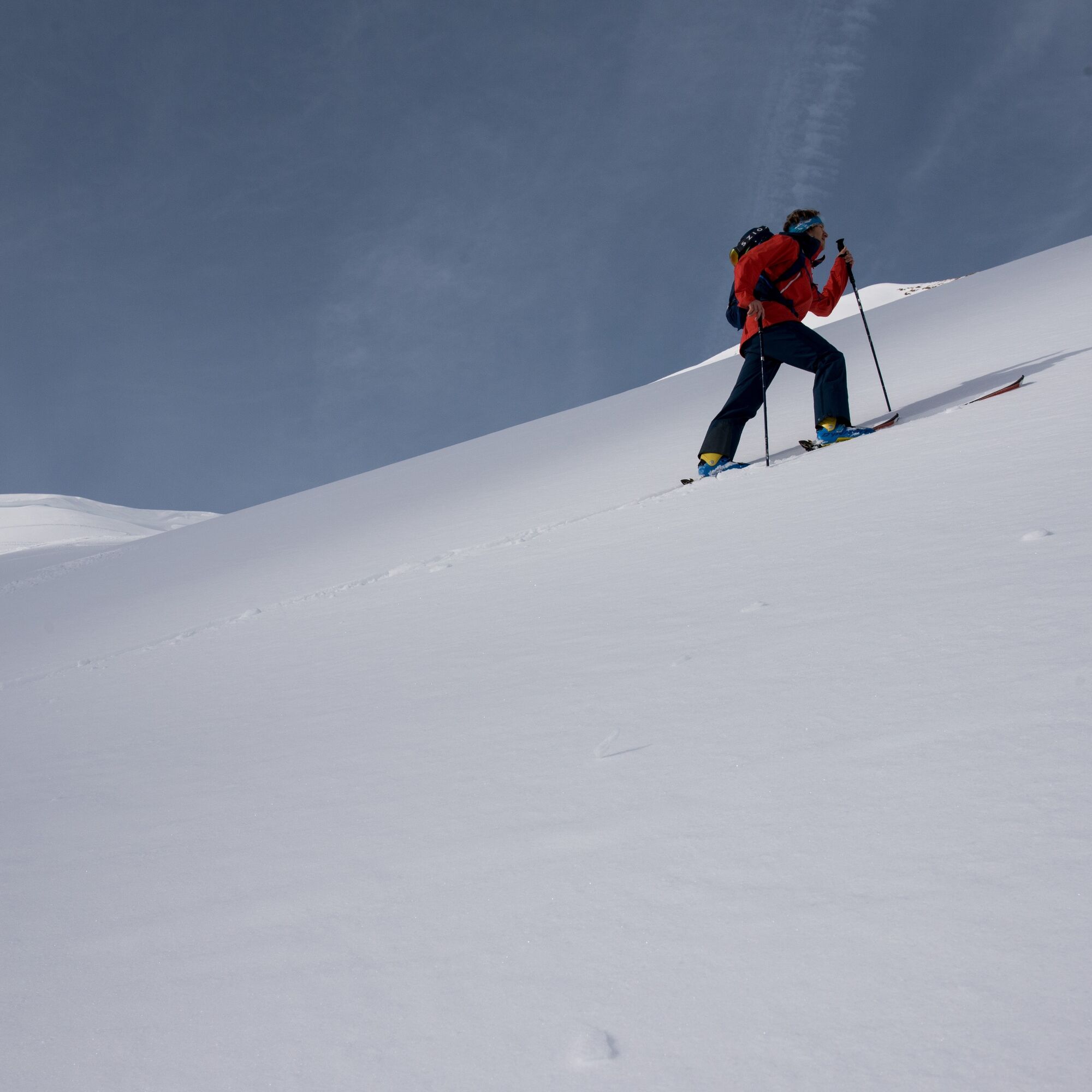
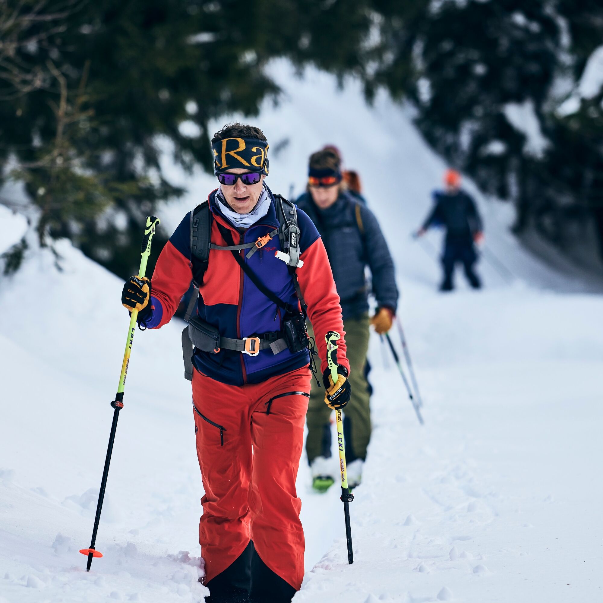
The route starts at the Mahdtalhaus in the hamlet of Innerschwende, which can be conveniently reached by bus (see "Arrival"). First, we orient ourselves at the clearly visible overview board, climb the open slope straight up to a hut, and continue along the forest edge. The further route through the forest up to the forest road and onwards to the Grafenküren Alpe is marked with green direction signs from the "Naturally on Tour" campaign. From there, it continues below the rock face rising on the left until the terrain opens upwards. Continuing to ascend through structured terrain up to a hollow, crossing a narrow section, and up to the summit.
Descent
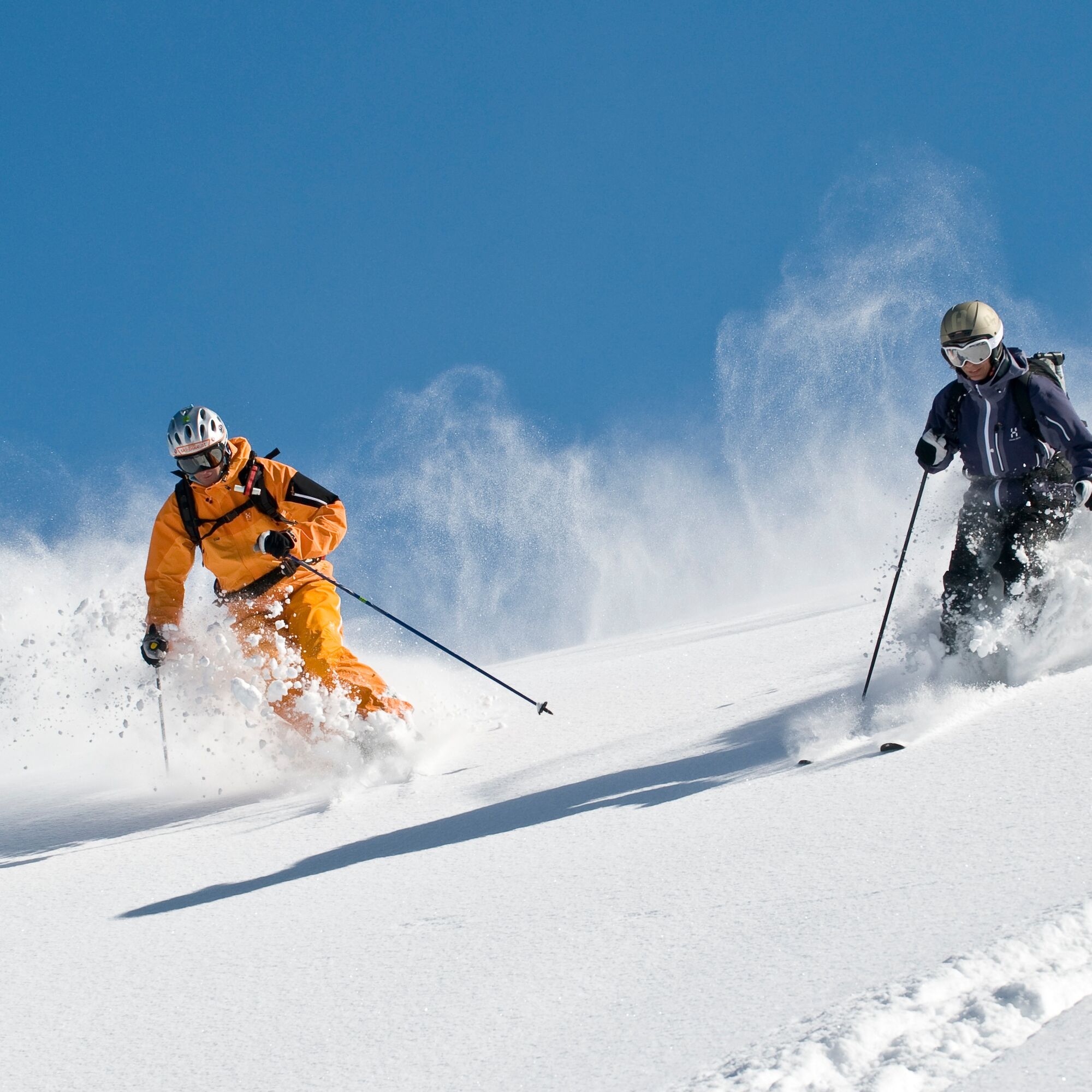
The descent follows the ascent path.
Ano
Complete ski touring equipment including avalanche emergency equipment: avalanche transceiver, shovel, and probe (standard); optional backpack with avalanche airbag
Off marked pistes and trails, everyone is personally responsible and travels at their own risk and must inform themselves about alpine dangers, especially avalanche danger. Weather conditions and snow circumstances may require changes to the route.
The provided GPS track is only a suggestion. No liability is assumed for the accuracy of the information.
EMERGENCY NUMBERS:
144 Alpine emergencies Vorarlberg 112 Euro emergency call (works with any mobile phone/network)If arriving by car, please form carpool groups.
Most routes from Germany converge in Ulm and continue on the A7. At the Allgäu motorway triangle via the A980 section to the Waltenhofen junction, then on the four-lane B19 via Sonthofen and Oberstdorf into the Kleinwalsertal.
From Austria (Vorarlberg) and Switzerland, you can reach the Kleinwalsertal via the Bregenzerwald (Hittisau) – Riedberg Pass – Fischen – Oberstdorf.
Coming from Tyrol, the fastest route leads via the A7 to Kempten and continues on the B19 towards Oberstdorf. No motorway vignette is needed for the drive into the valley.
Just leave your car parked!
By train to Oberstdorf. Directly opposite the train station, the Walserbus runs towards Kleinwalsertal. Take line 1 to the Unterwestegg stop, then change to line 2 "Schwende" and get off at the "Mahdtalhaus" stop.
Paid parking spaces are located near the starting point.
Parking along the state road is not permitted.
PD+

Webové kamery z prohlídky
-
Bergstation Kanzelwandbahn Riezlern
-
Fellhornbahn Station Schlappoldsee
-
Fellhornbahn Gipfelstation
-
Hahnenköpflebahn Bergstation / Ifenbergbahn
-
Fellhorn/Oberstdorf Kleinwalsertal
-
Hirschegg - Naturhotel Chesa Valisa
-
Zaferna Bergstation
-
Mittelberg - Naturhotel Lärchenhof
-
Plattform - Schirmbar Riezlern
-
Riezlern Unterwestegg - Gästehaus Almenrausch
-
Riezlern/Schwende - Genuss- & Aktivhotel Sonnenburg
-
Hirschegg - Hotel Walserhof
-
Hirschegg - Hotel Birkenhöhe
-
Hirschegg - Hotel Sonnenberg
-
Mittelberg Bödmen - Hotel Alte Krone
-
Möserbahn Berg
-
Kanzelwand / Fellhorn
-
Mittelberg - Gästehaus Otto Fritz
-
Bannholzhof
-
Bannholzhof
-
Kleinwalsertal / Haus Keti
-
Kleinwalsertal
-
Ifenbahn Bergstation
-
Riezlern - Haus Peter Paul
-
Riezlern - Landhaus Evi
-
Hirschegg - Hotel Birkenhöhe
-
Kleinwalsertal - Ifenbahn
-
Kleinwalsertal - Kanzelwandbahn
-
Naturhotel Chesa Valisa
-
Ferienhaus Oberwiese
-
Gästehaus Panorama
-
Haus Berg & Tal / Hirschegg
-
Kesslerlift
-
Riezler Höhe
-
Mittelberg
-
Parsennbahn - Kleinwalsertal
Získejte přehled
Vždy živě na místě s více než 9 500 webkamerami. bergfex Jako uživatel Pro si nyní můžete zobrazit odpovídající webové kamery pro mnoho prohlídek v aplikaci prohlídky z. Můžete si tak přímo prohlédnout aktuální podmínky.
Oblíbené prohlídky v okolí
-
4.9
Gerstruben - zum historischen Bergbauerndorf
středníTuristika 12.8 km -
4.5
Mountain tour over the Fellhorn ridge
středníTuristika 8.24 km -
4.8
E5 - 1. Etappe: Oberstdorf - Kemptner Hütte
světlodálková pěší trasa 7.80 km -
4.8
Unterer Gaisalpsee
středníVysokohorská turistika 8.64 km -
4.7
Rubihorn
středníTuristika 9.06 km -
4.4
Circular hike through the Bärgunttal
středníTuristika 4.75 km -
4.7
Widderstein Runde von Baad
středníTuristika 15.8 km -
4.8
Rubihorntour
středníHorská turistika 13.0 km -
4.6
Reichenbach, Tobelweg, Entschenkopf, Gaisalpseen
heavyVysokohorská turistika 13.0 km -
4.6
Entschenkopf
heavyTuristika 12.3 km
Pěší turistika a stopování


Nenechte si ujít nabídky a inspiraci pro vaši příští dovolenou
Vaše e-mailová adresa byl přidán do poštovního seznamu.





