



Ski tour from Baad to the Grünhorn

Úroveň obtížnosti: PD
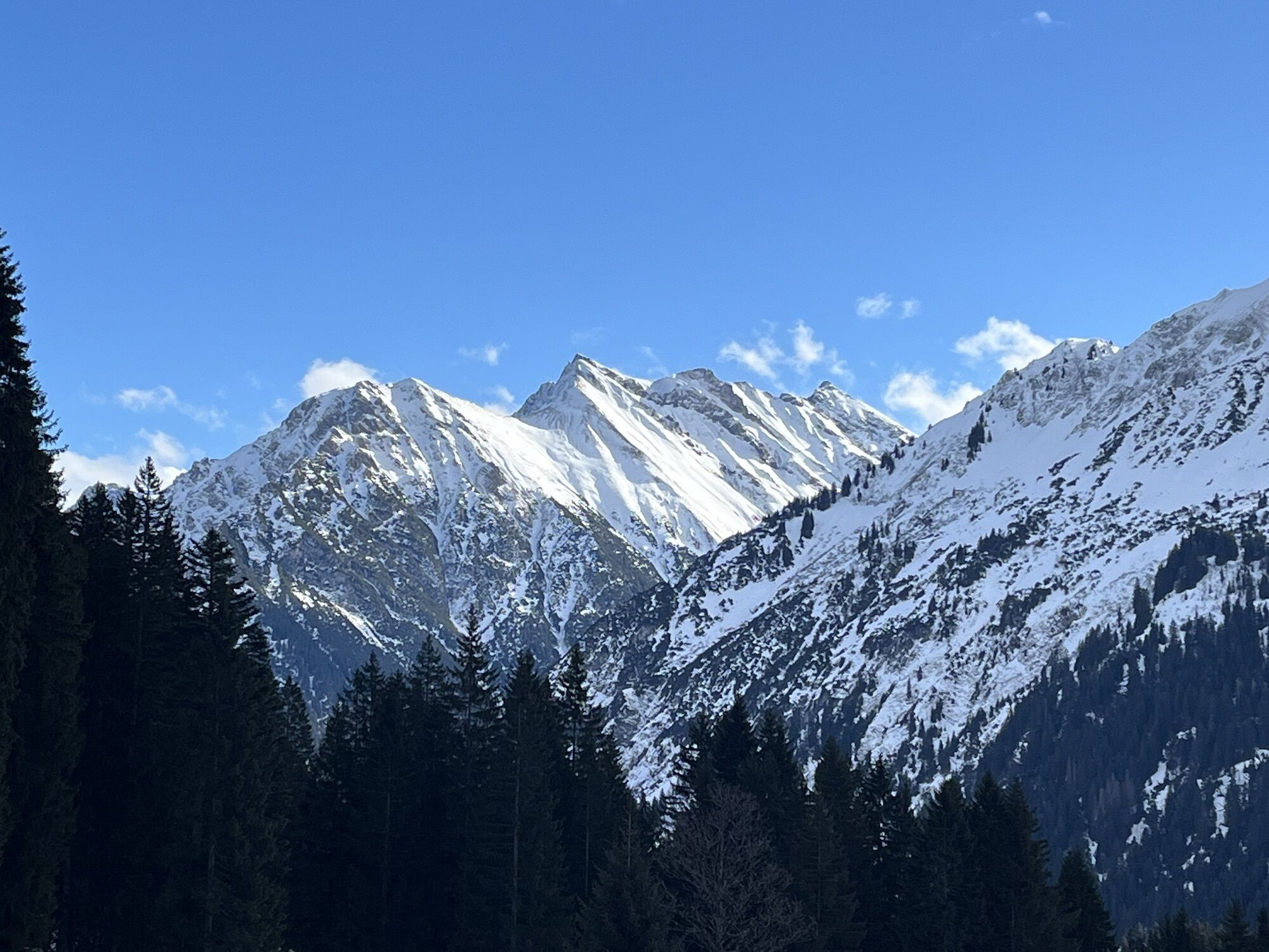
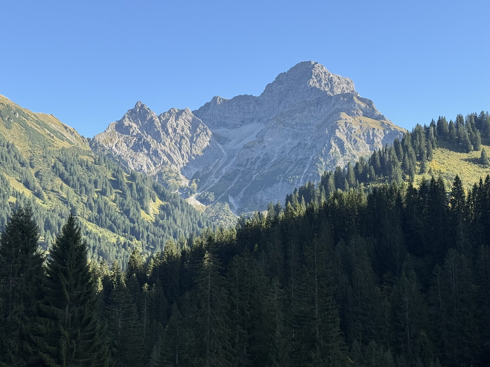
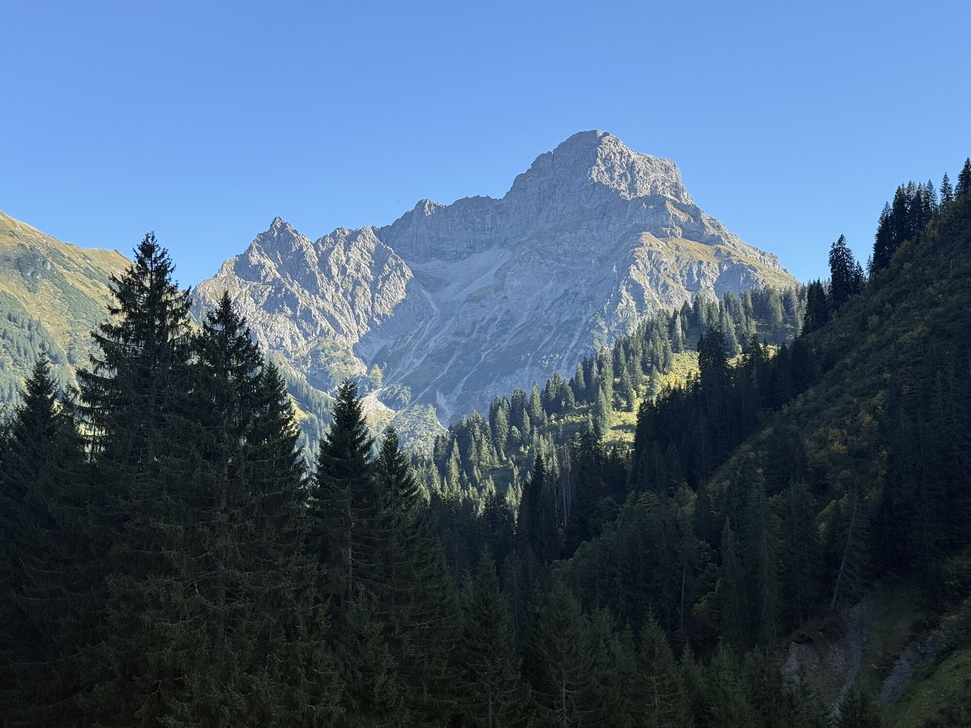
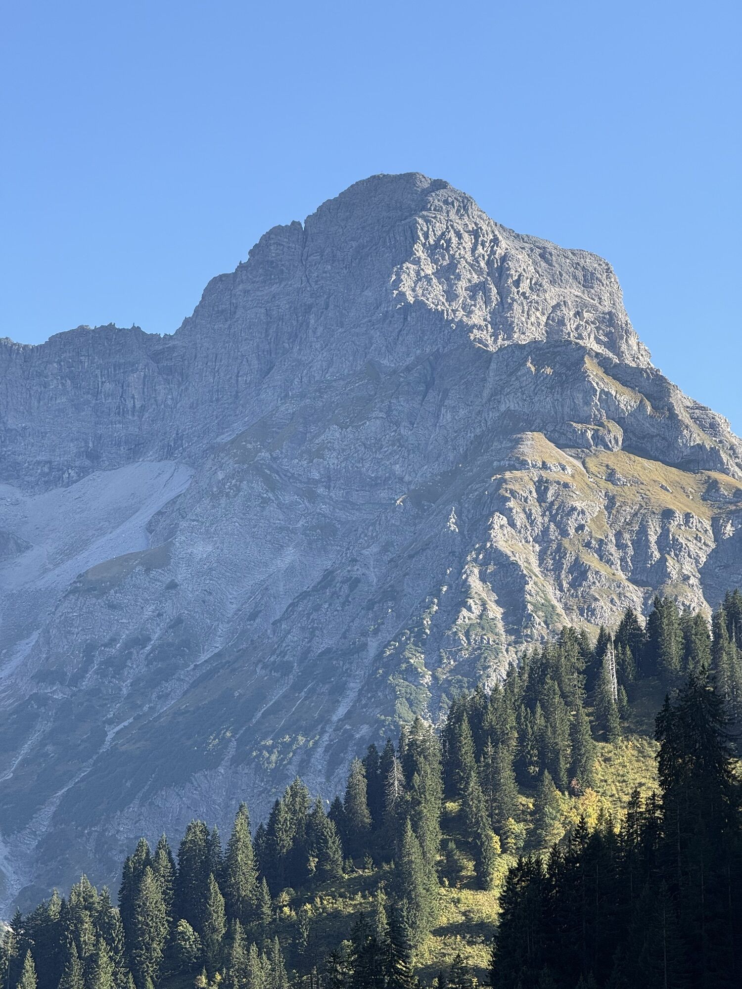
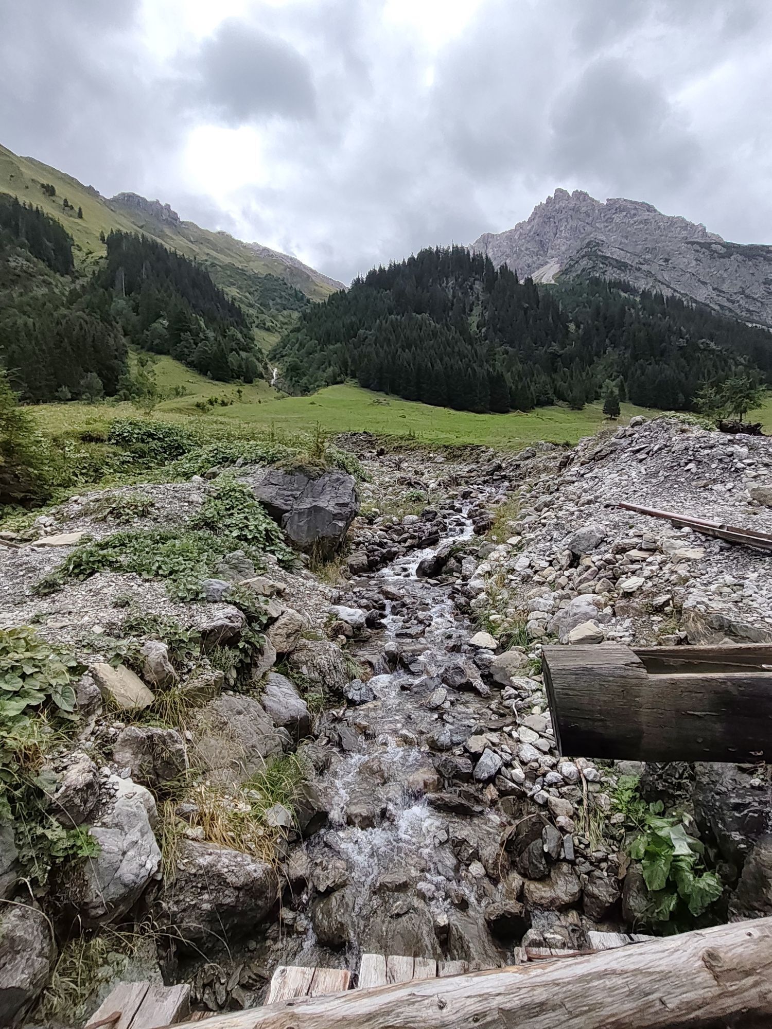
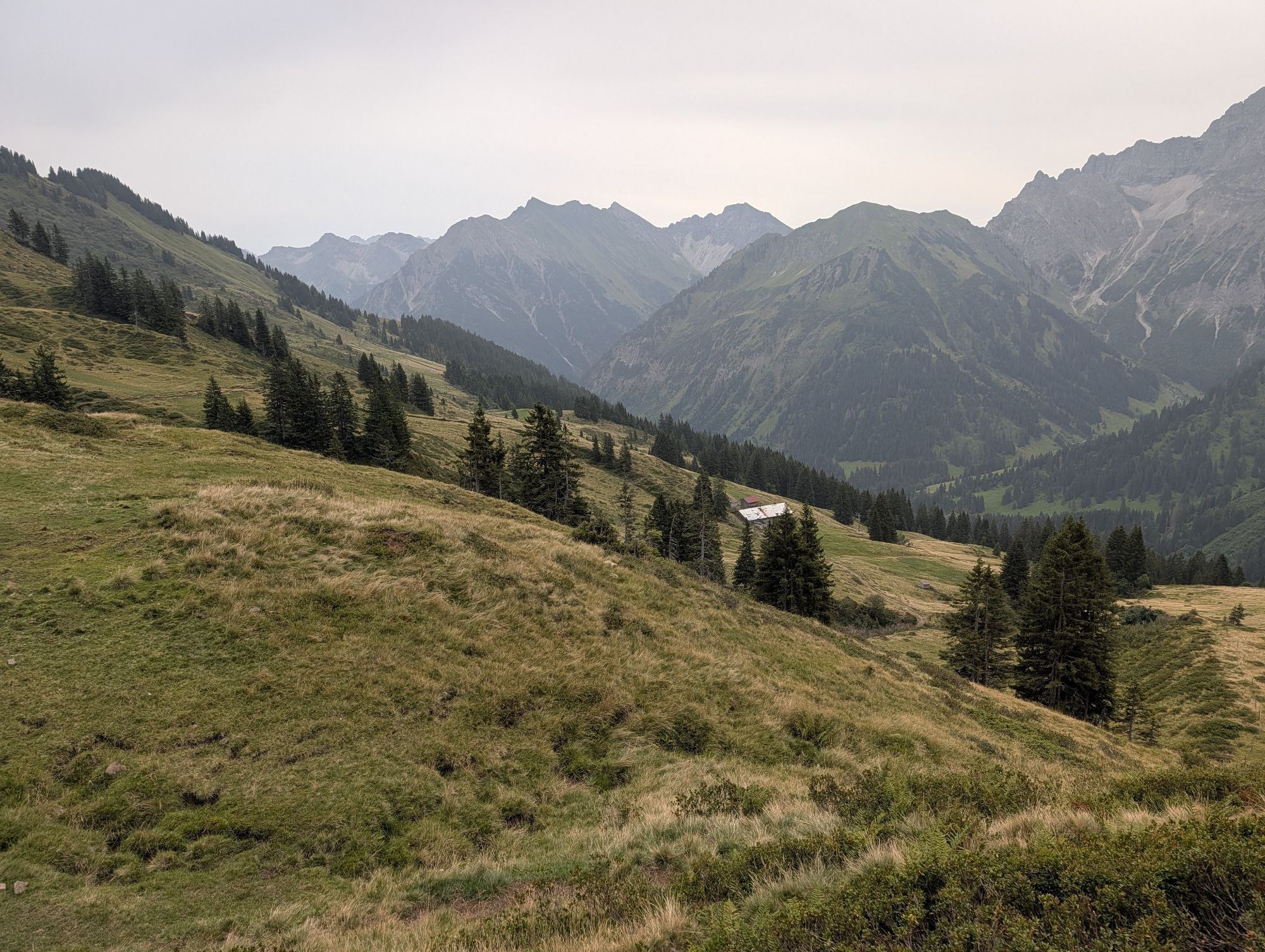
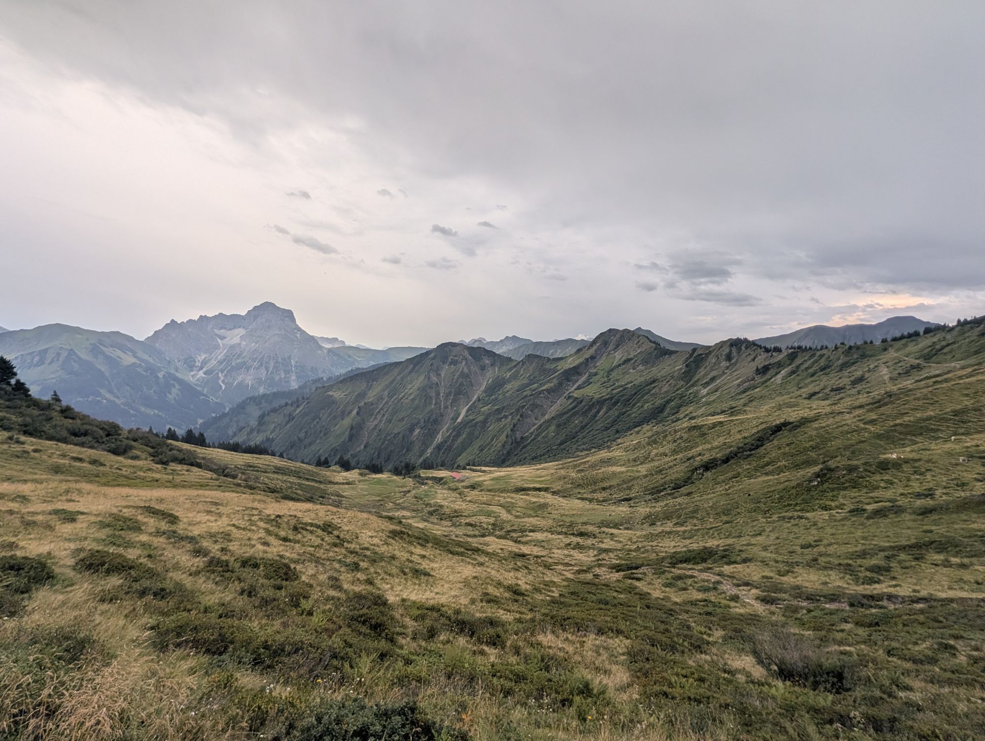
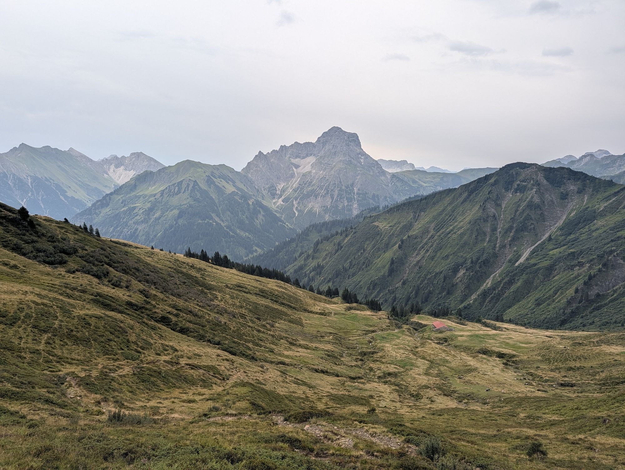
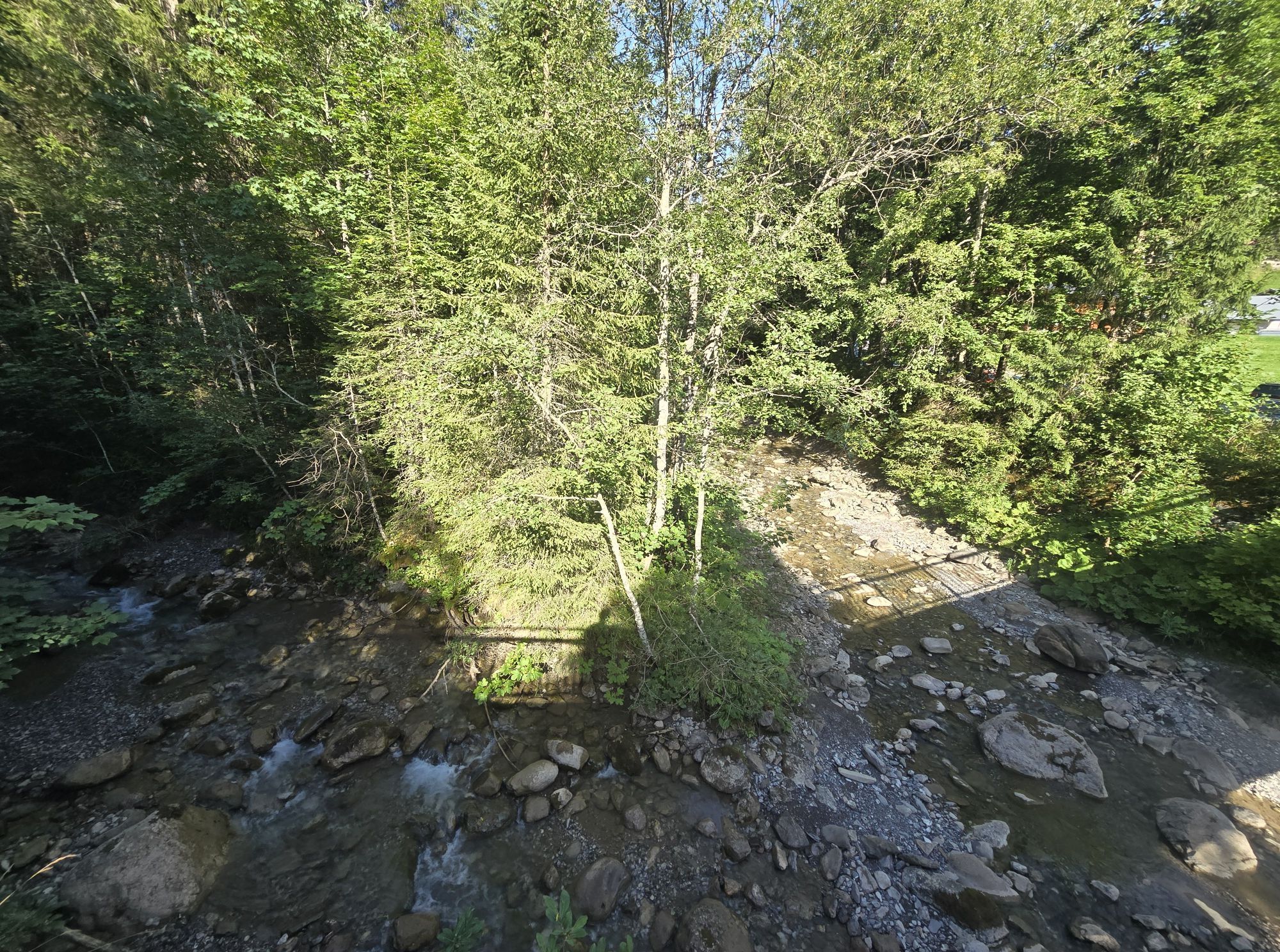
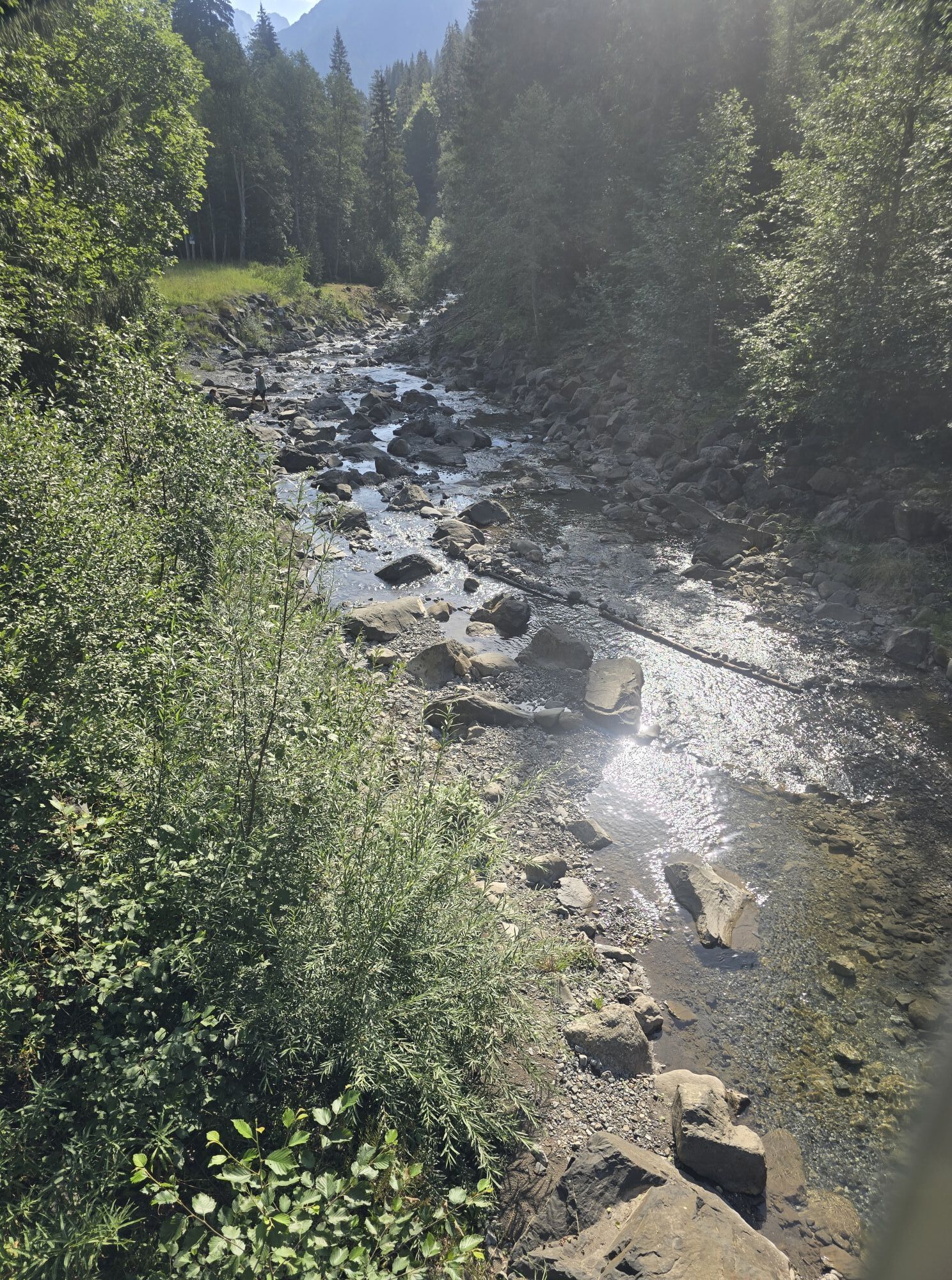
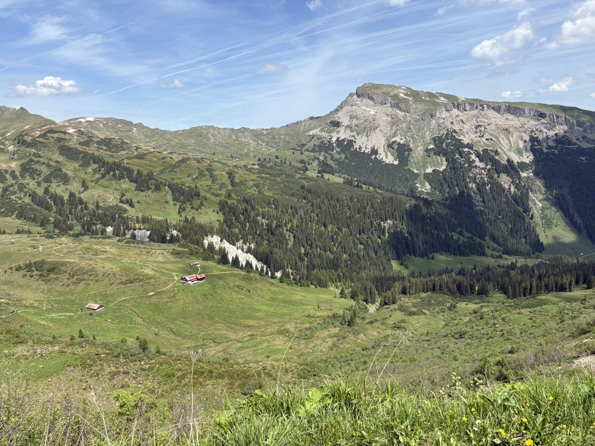
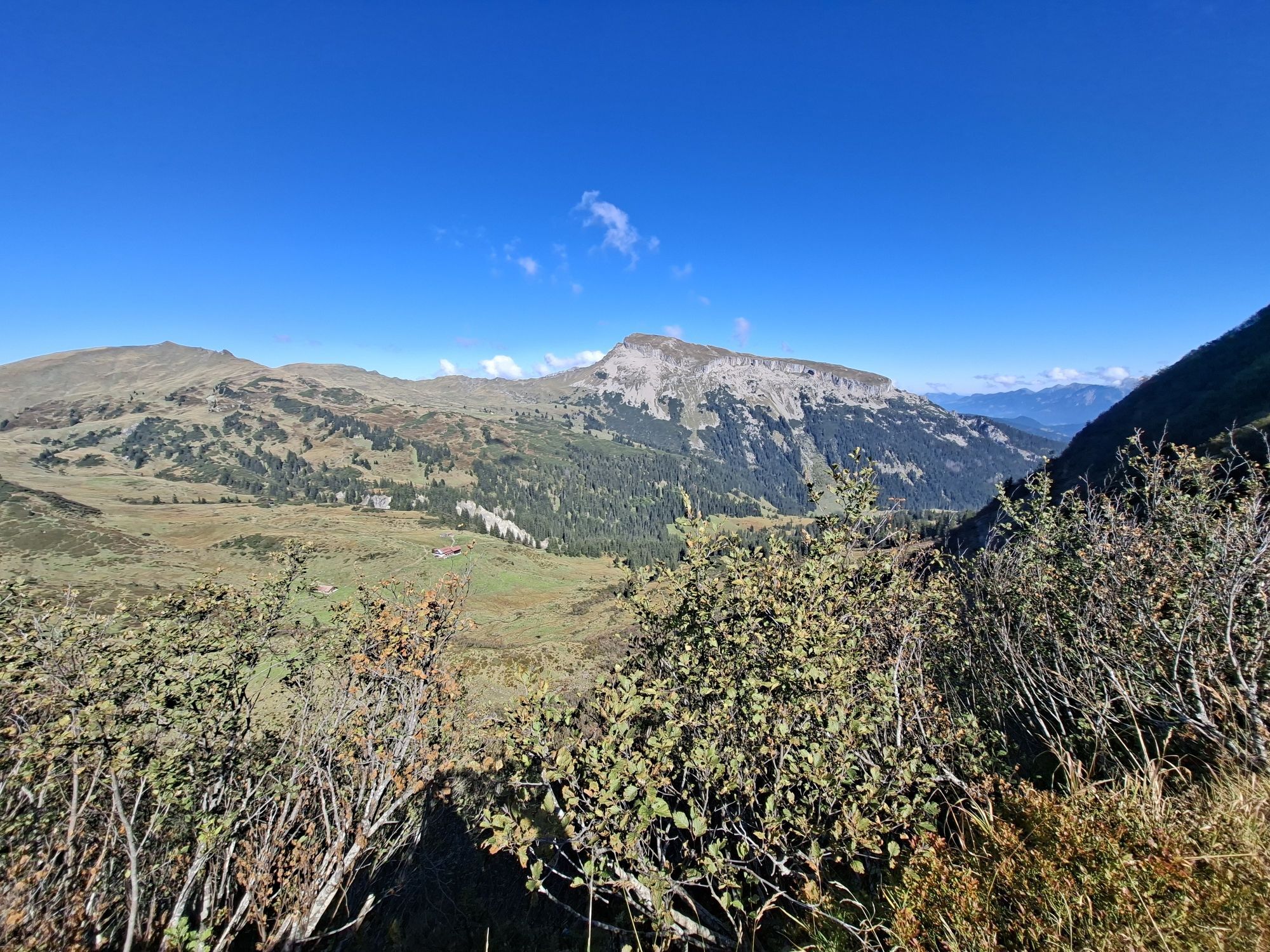
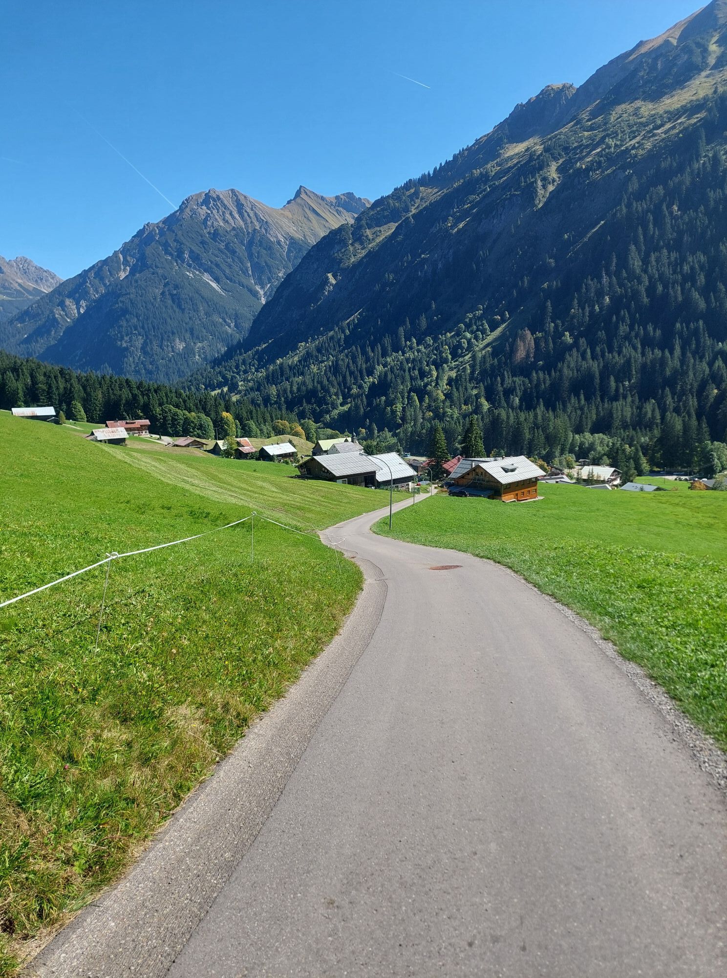
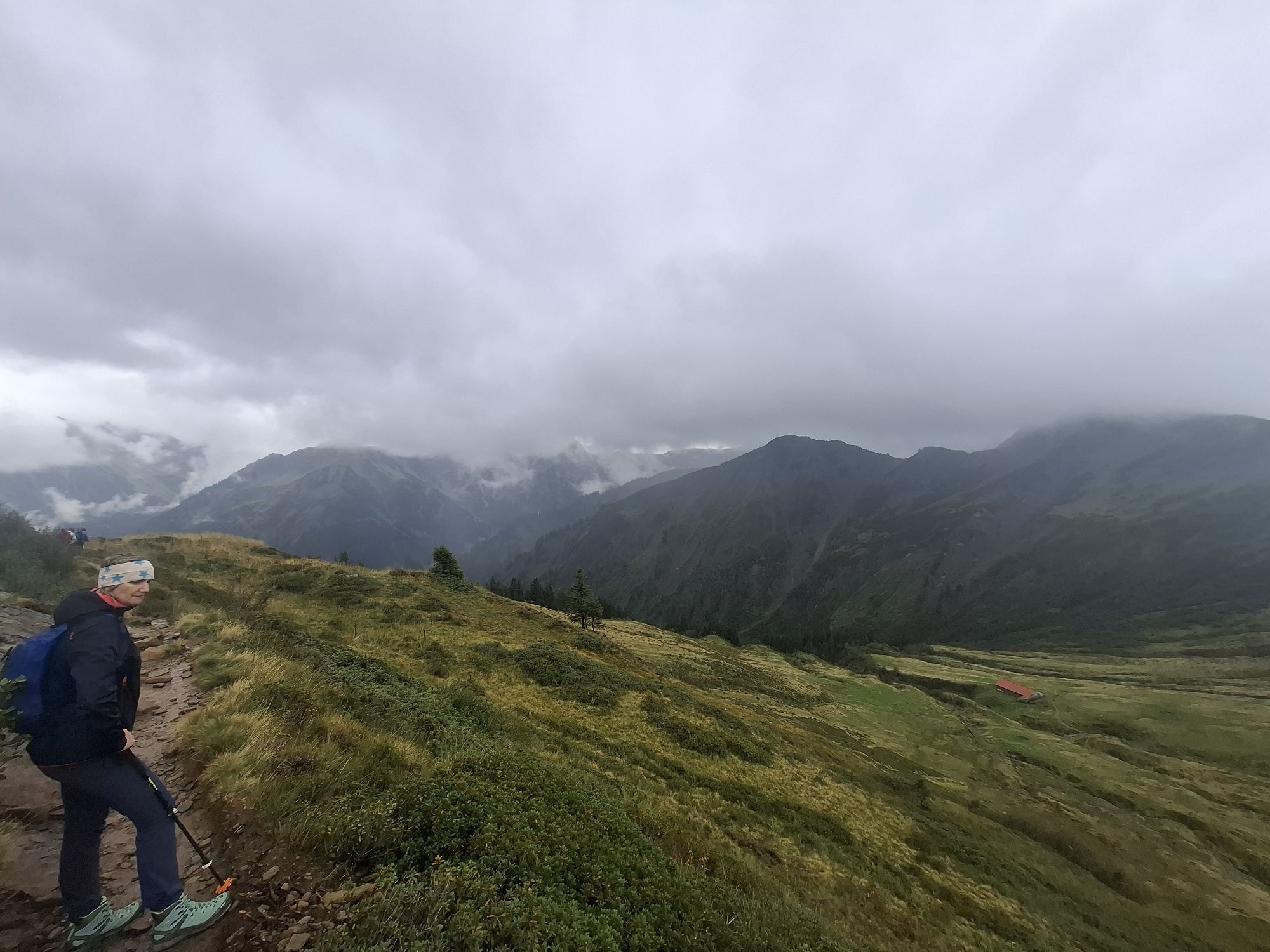
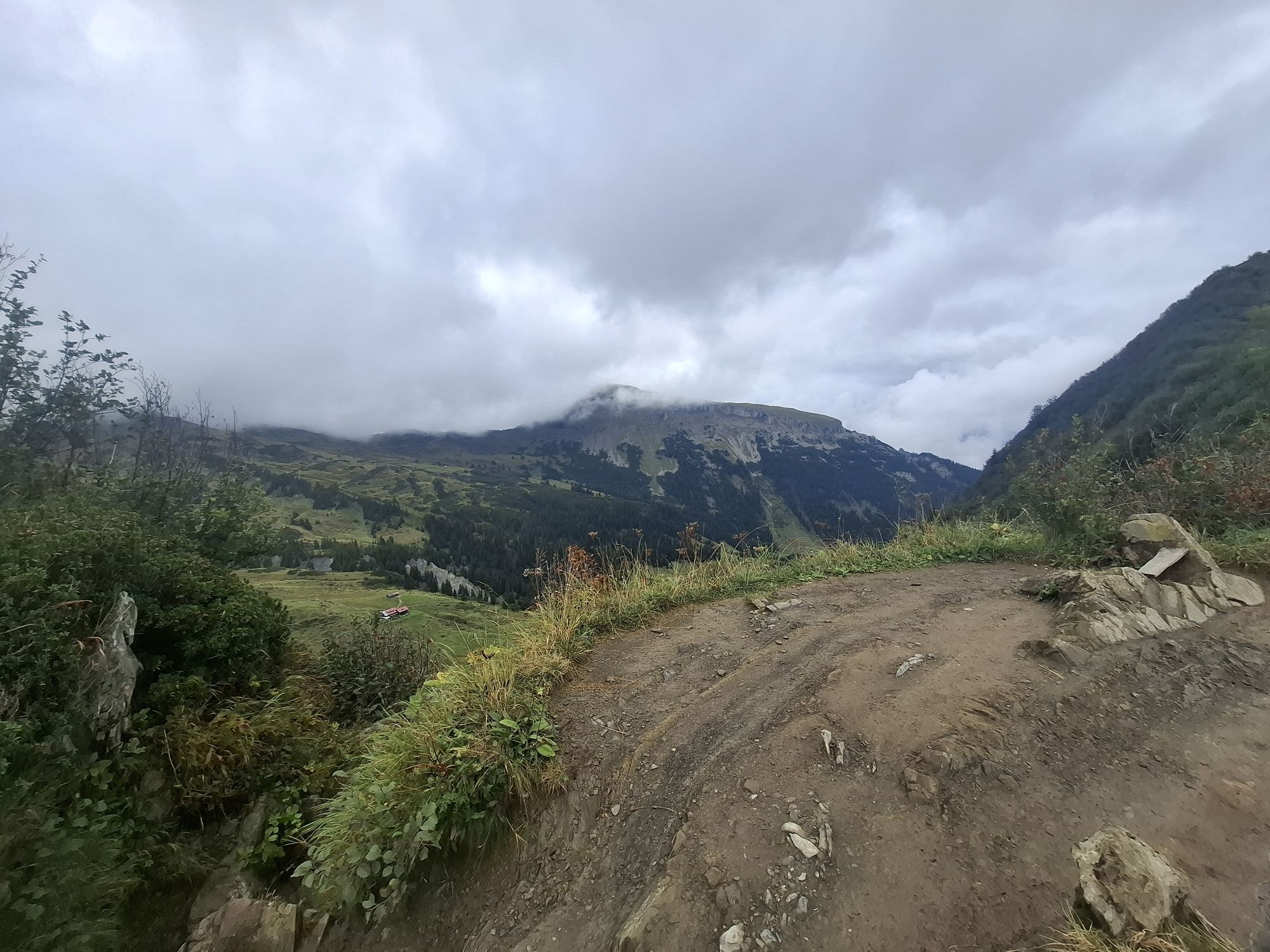
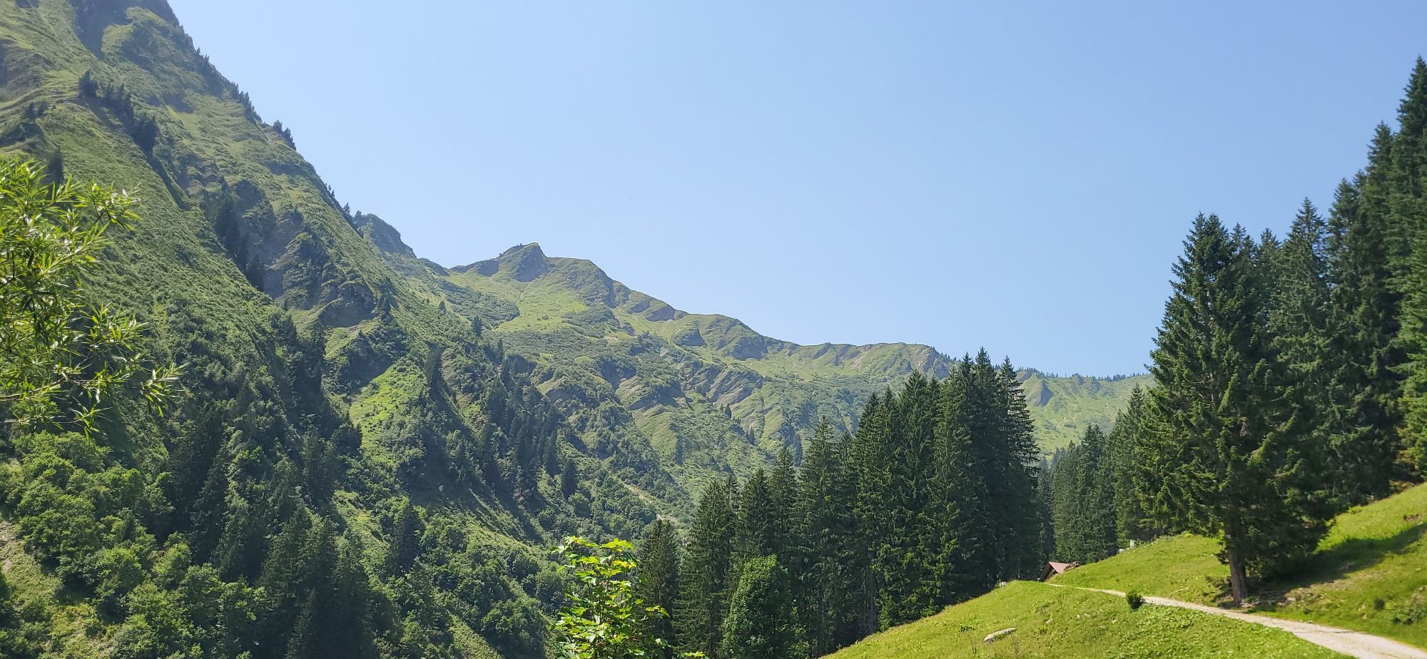
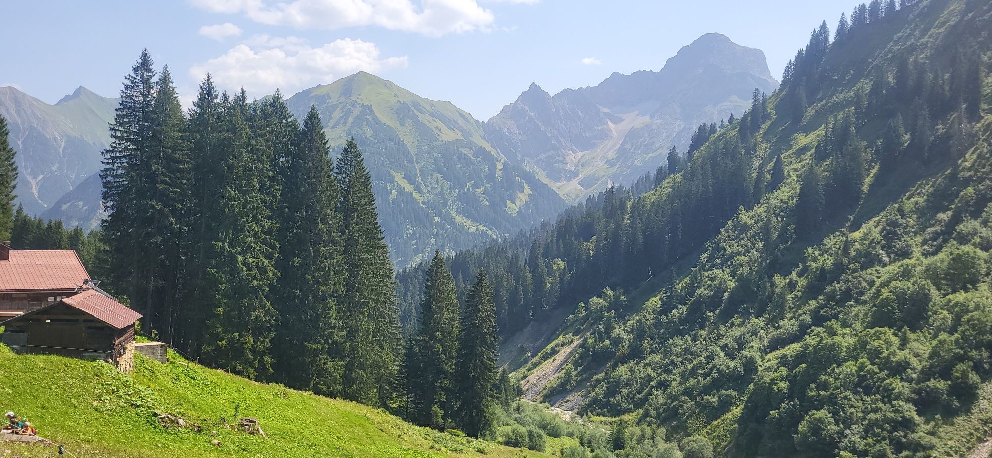
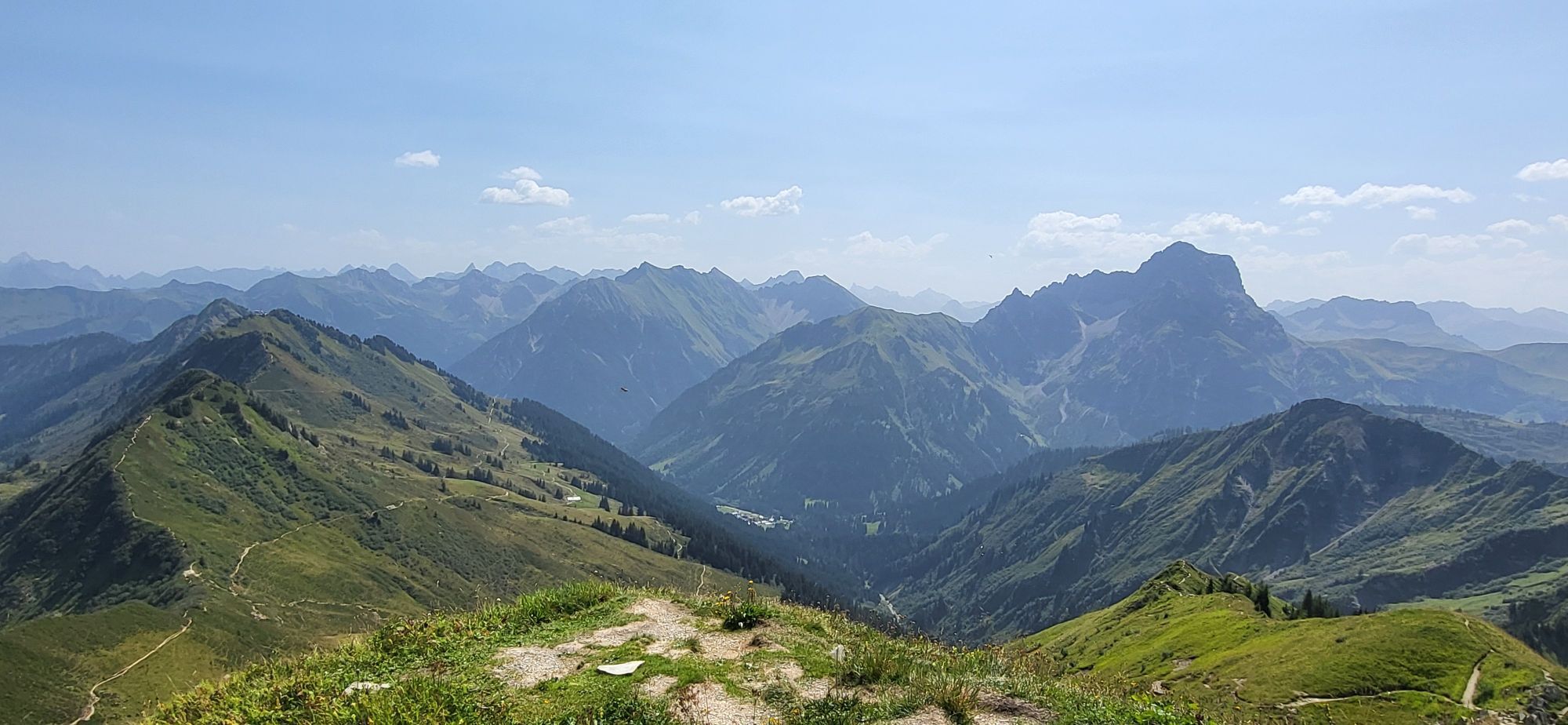
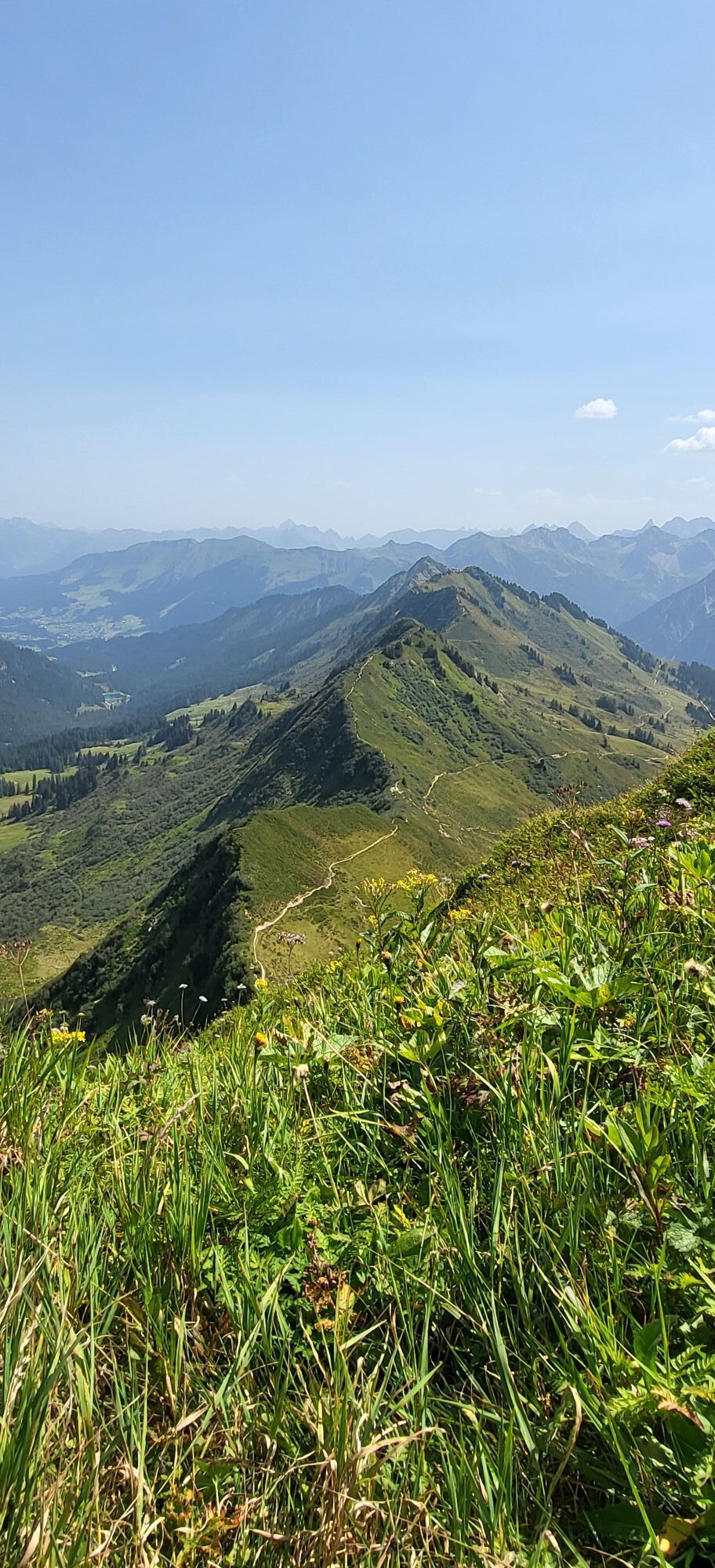

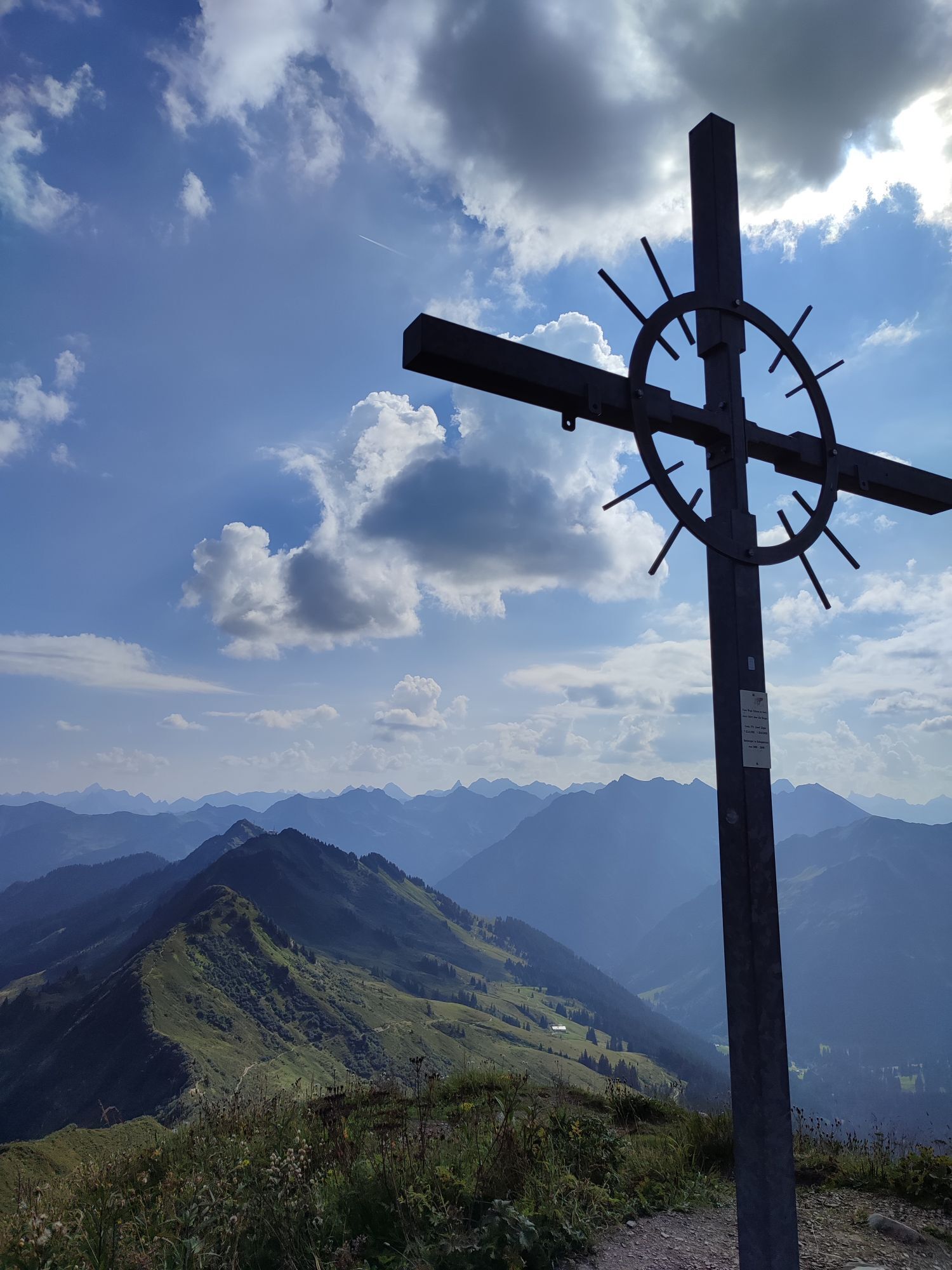
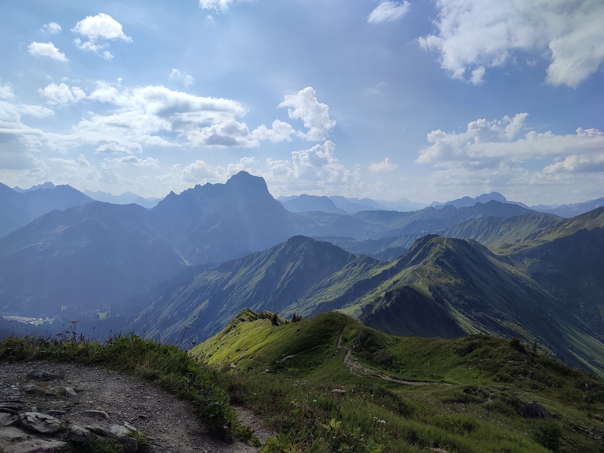
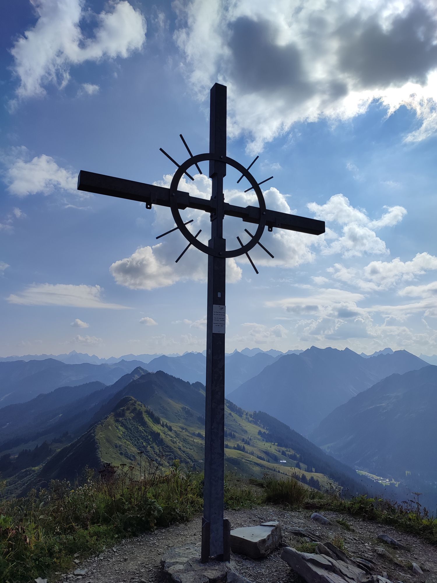
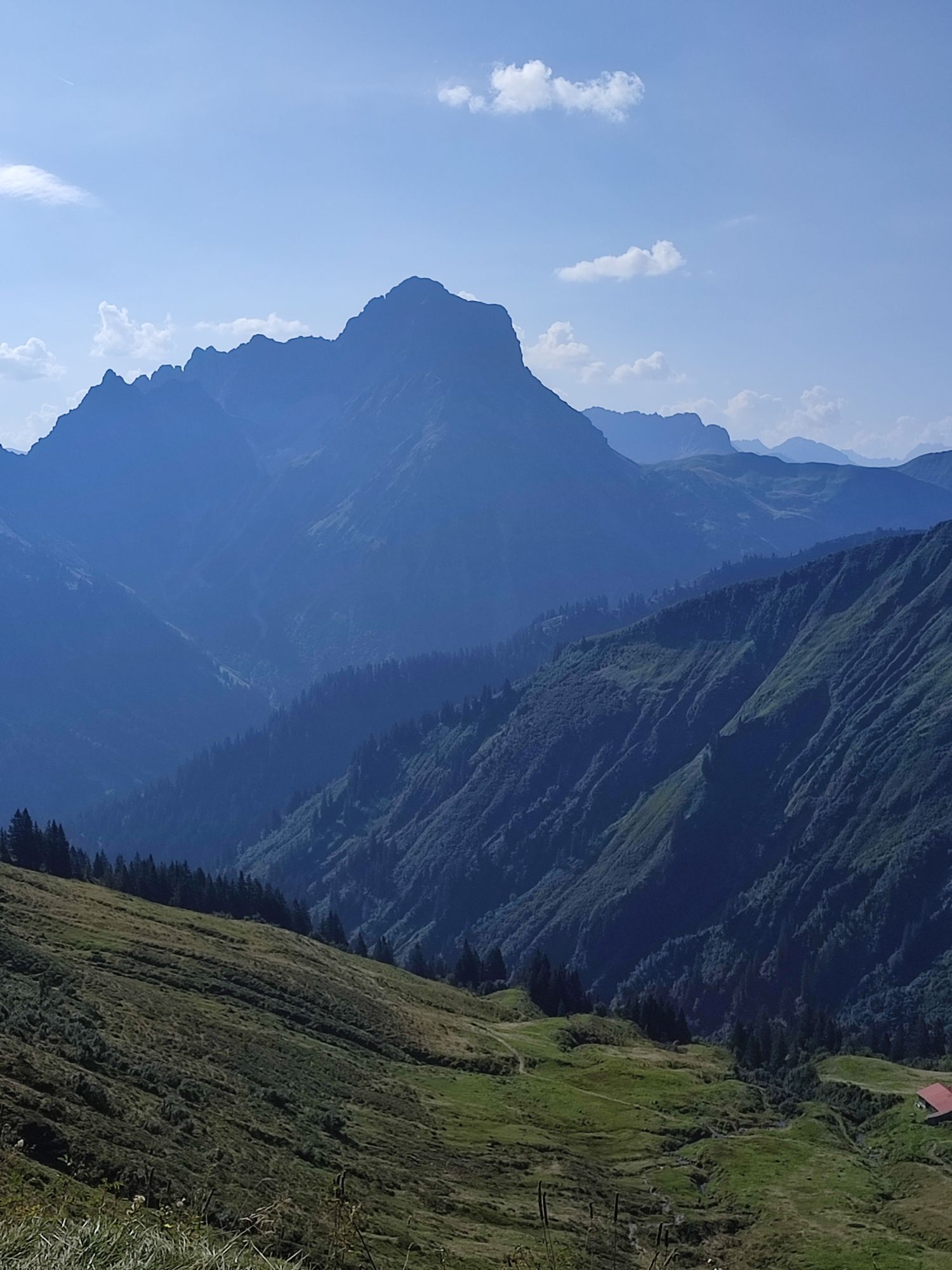
On this sunny ski tour, an early ascent is absolutely necessary because the Grünhorn receives a lot of sun as early as the morning hours due to its south-facing location, and you naturally want to enjoy...
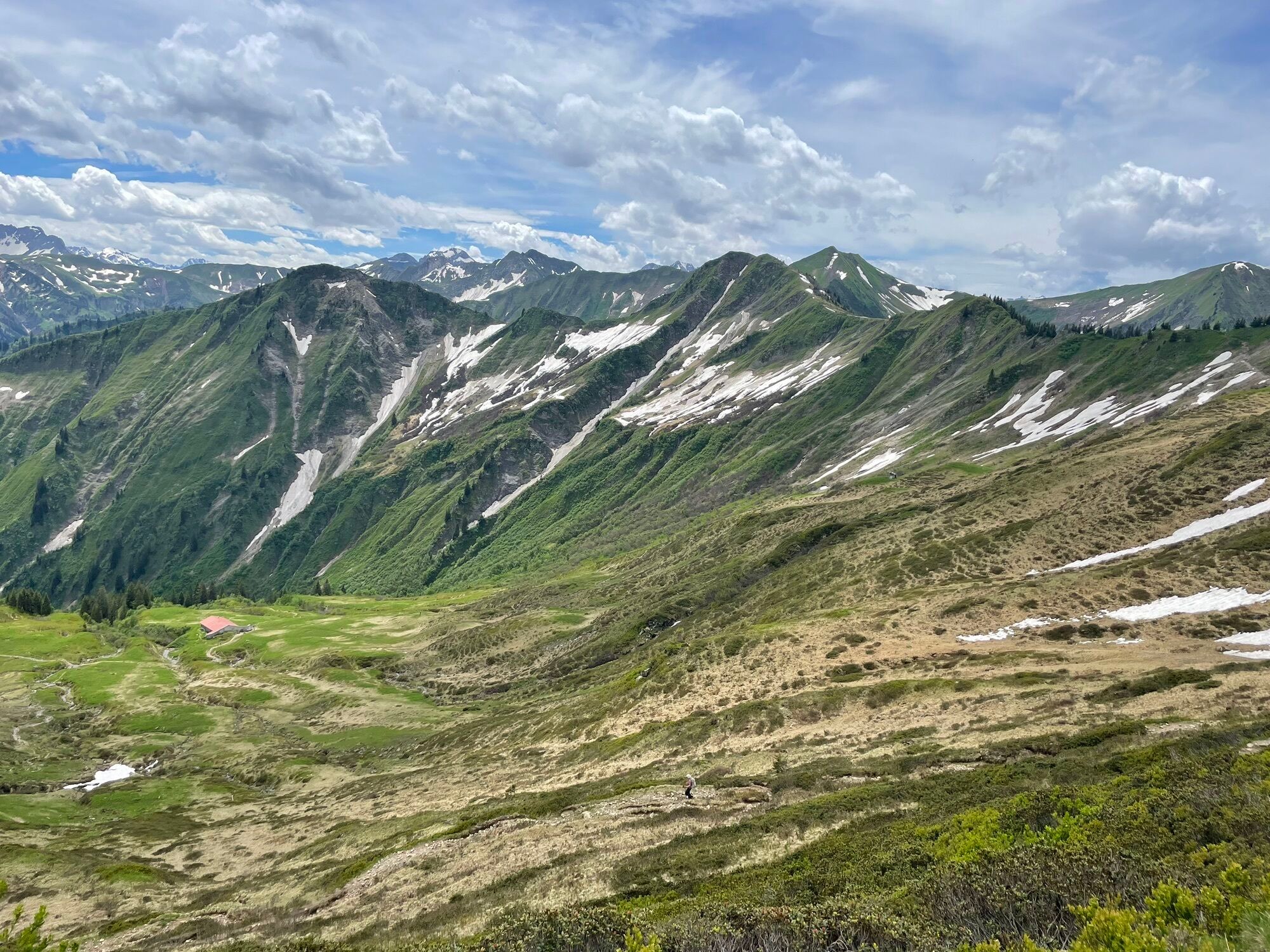
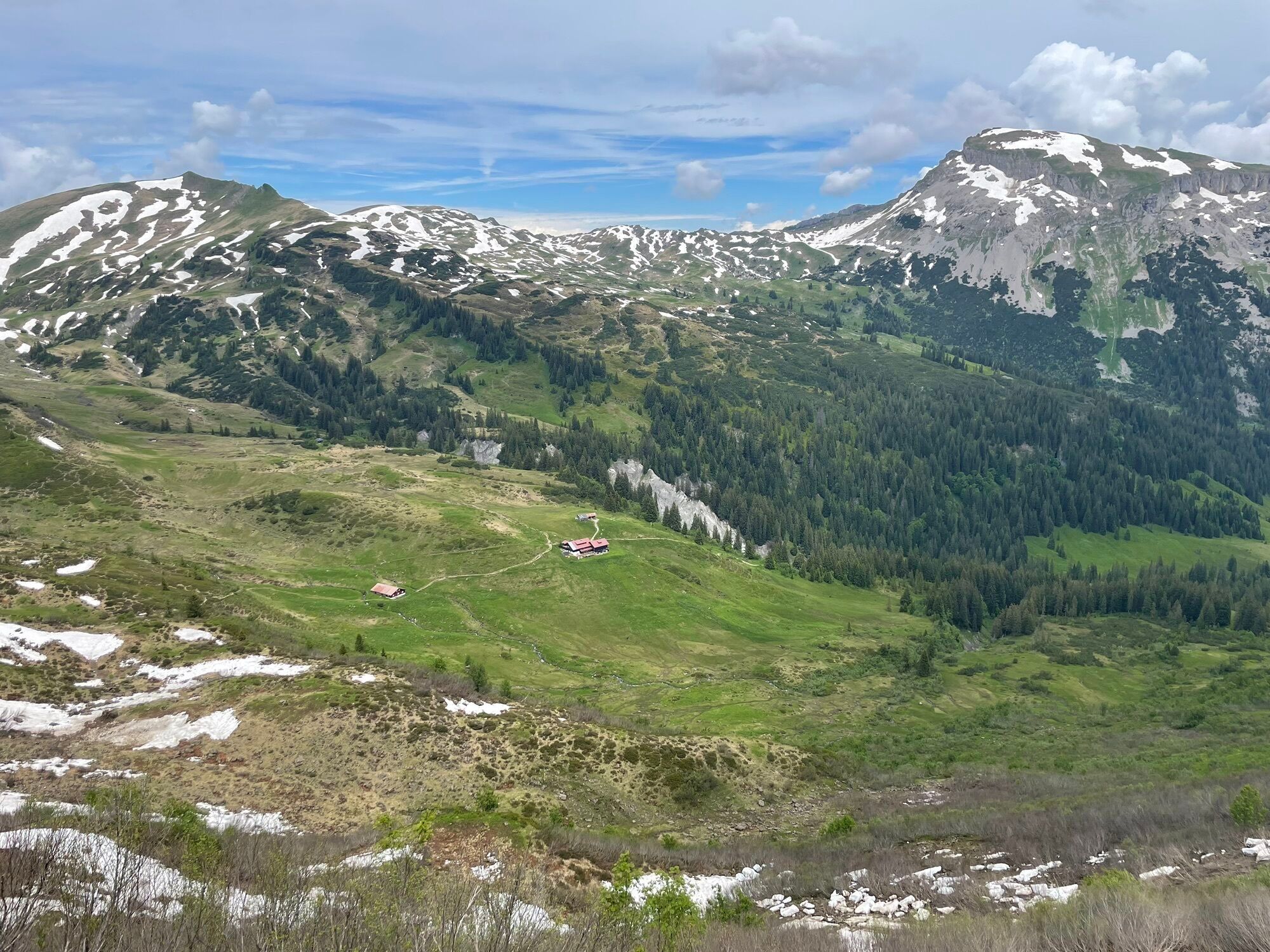
On this sunny ski tour, an early ascent is absolutely necessary because the Grünhorn receives a lot of sun as early as the morning hours due to its south-facing location, and you naturally want to enjoy the descent under good snow conditions.
In the summit area, there are very beautiful east- to south-facing descent slopes. In the lower part, you have to overcome a forest section of about 200 meters, so the tour is more pleasant with a high snow level.
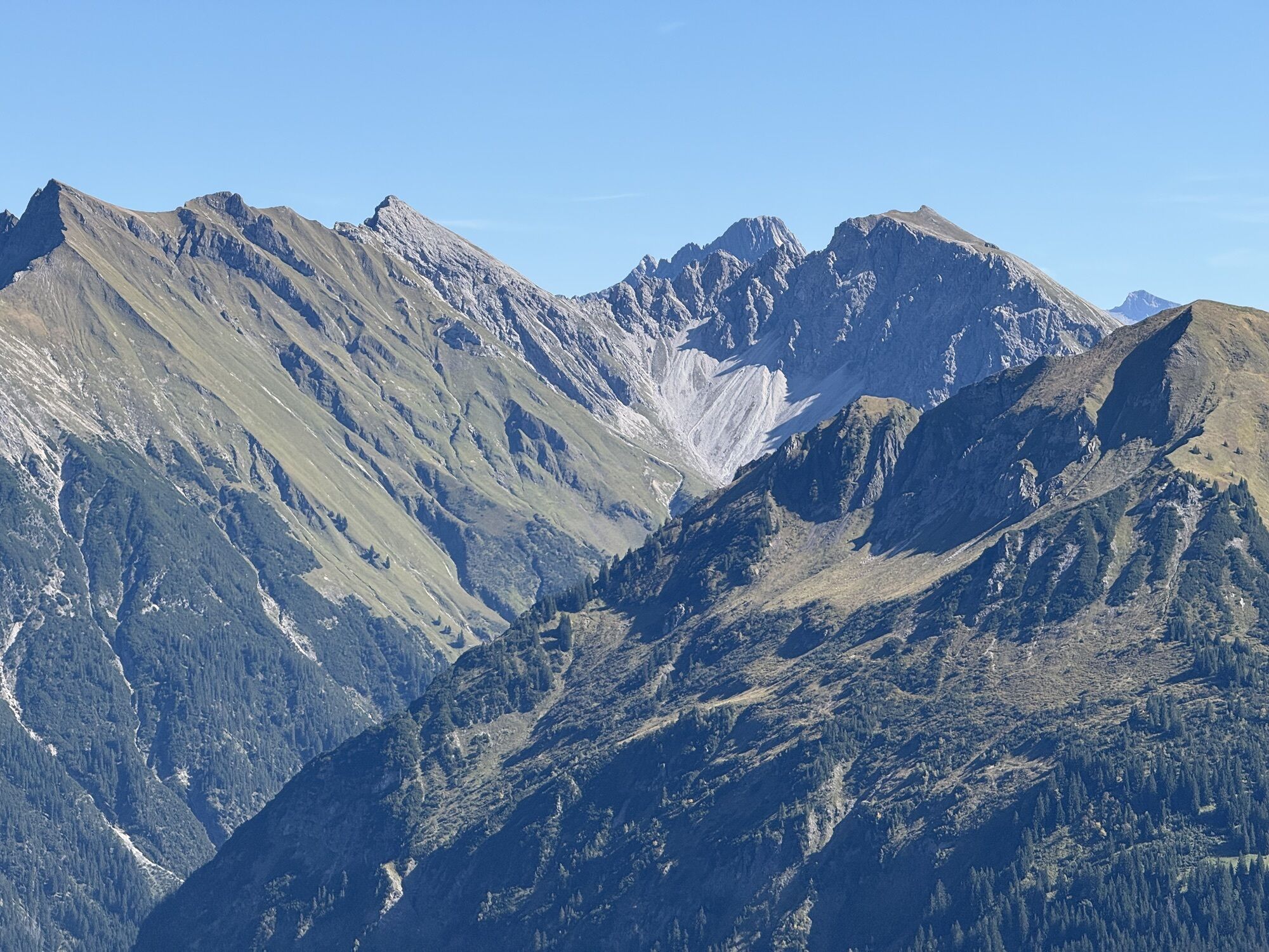
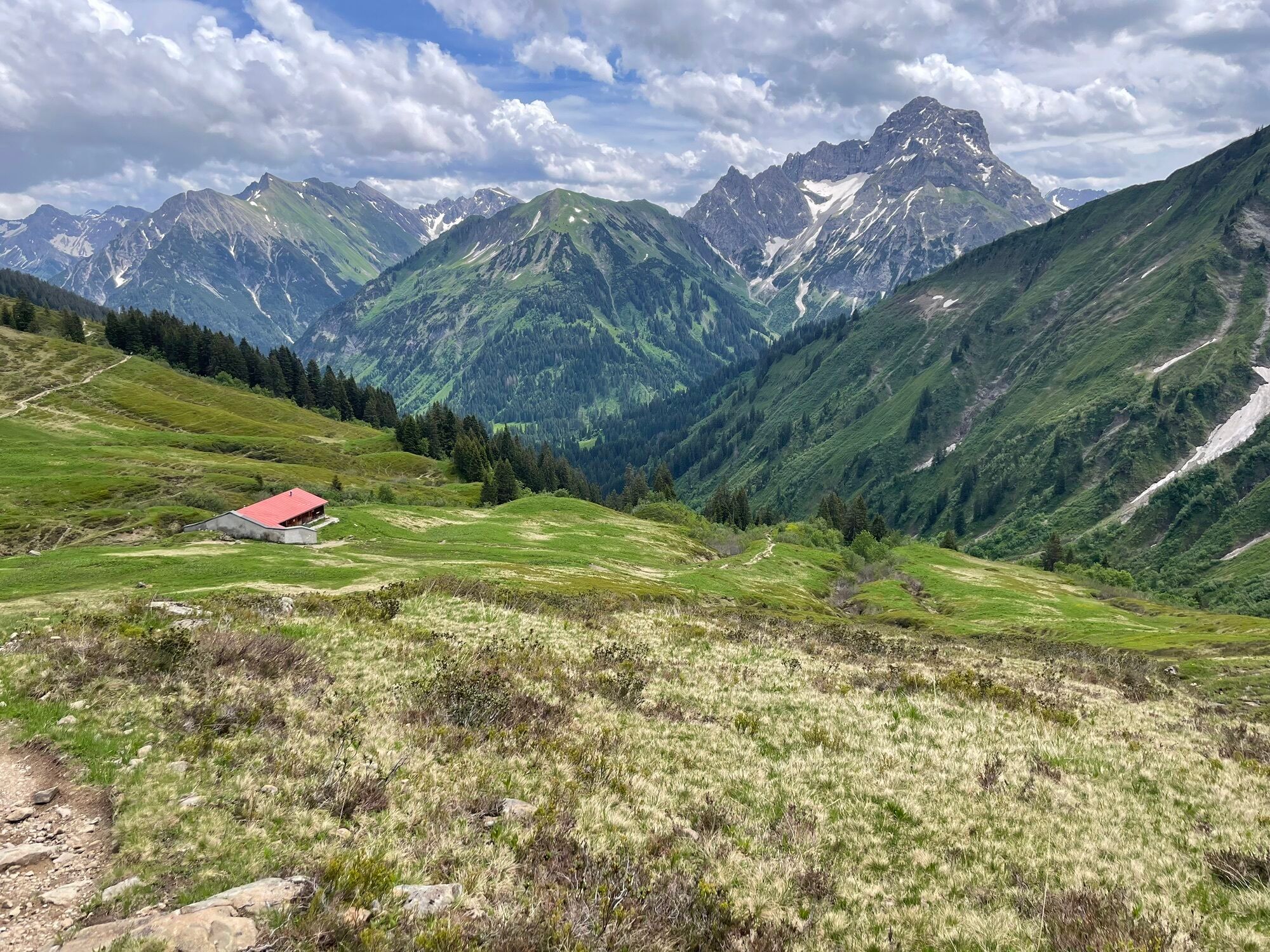
At the summit, a wonderful view of the Kleinwalsertal and the Bregenz Forest awaits.
Baad is also popular with winter hikers in winter. Especially on the first section to the Inner Turaalpe, a bit more consideration for other winter sports enthusiasts is necessary during ascent and descent. Then there is enough space and nature enjoyment guaranteed for everyone.
Experiencing nature consciously stands for respectful coexistence among winter sports people and towards nature. The described route takes into account the forest and game protection areas designated in the Duratal.


Ascent
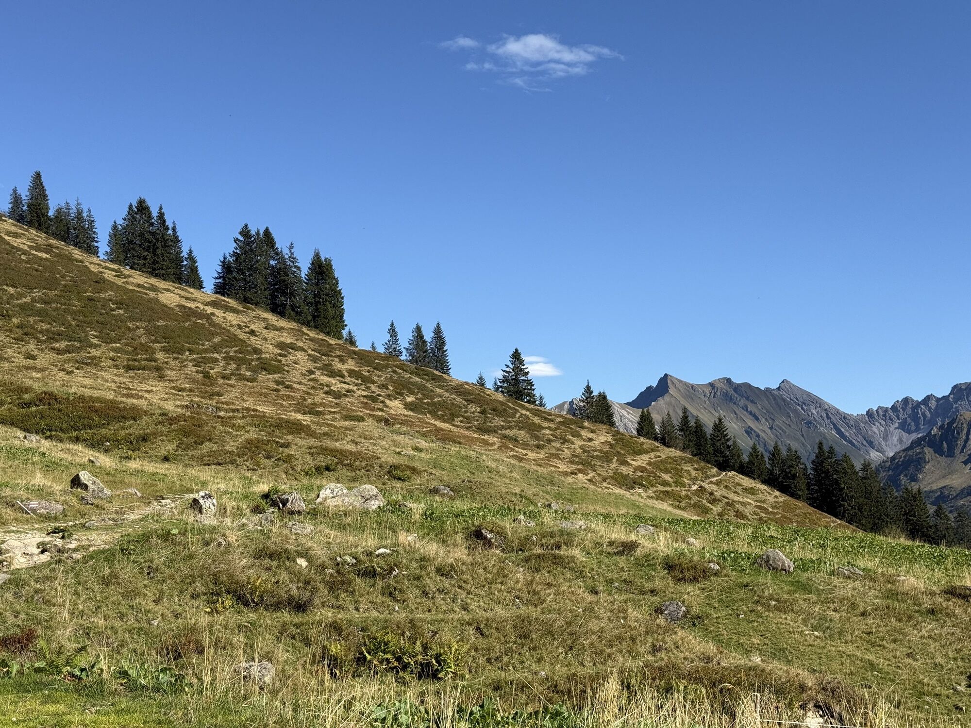
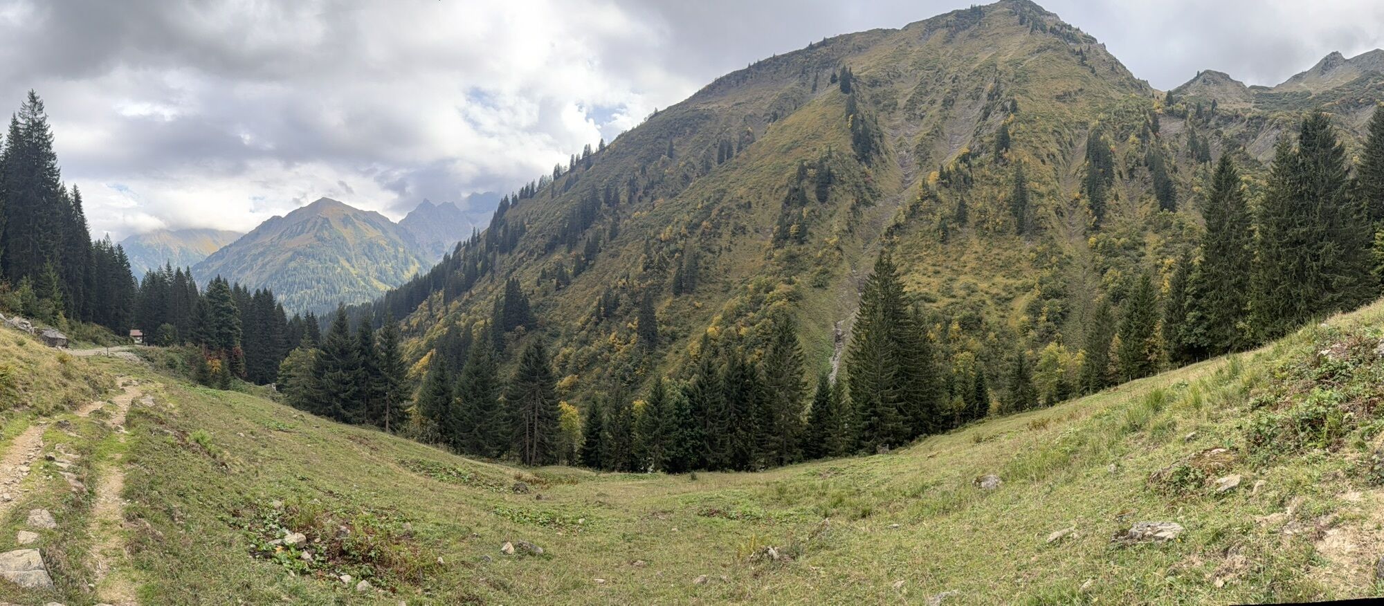
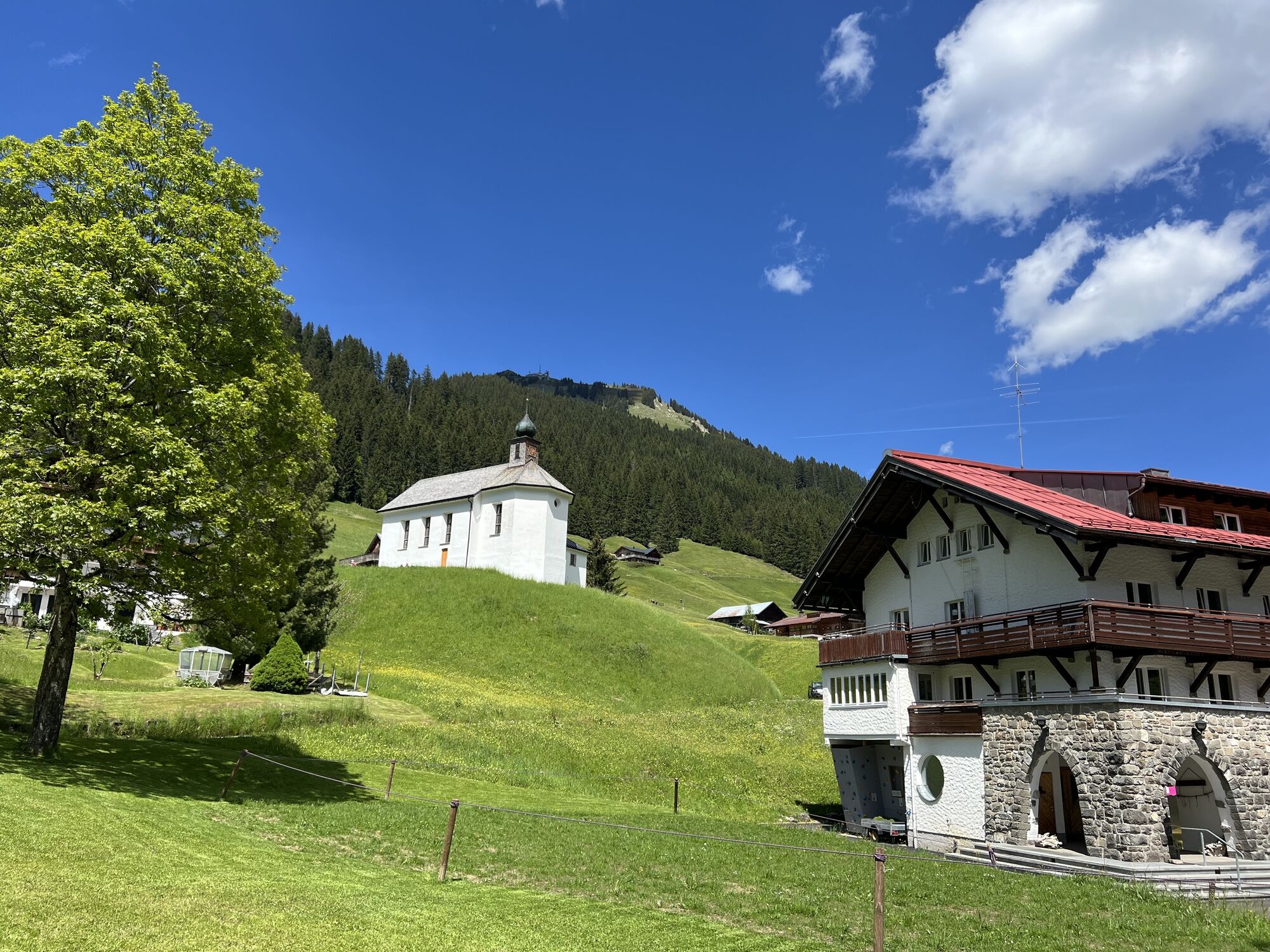
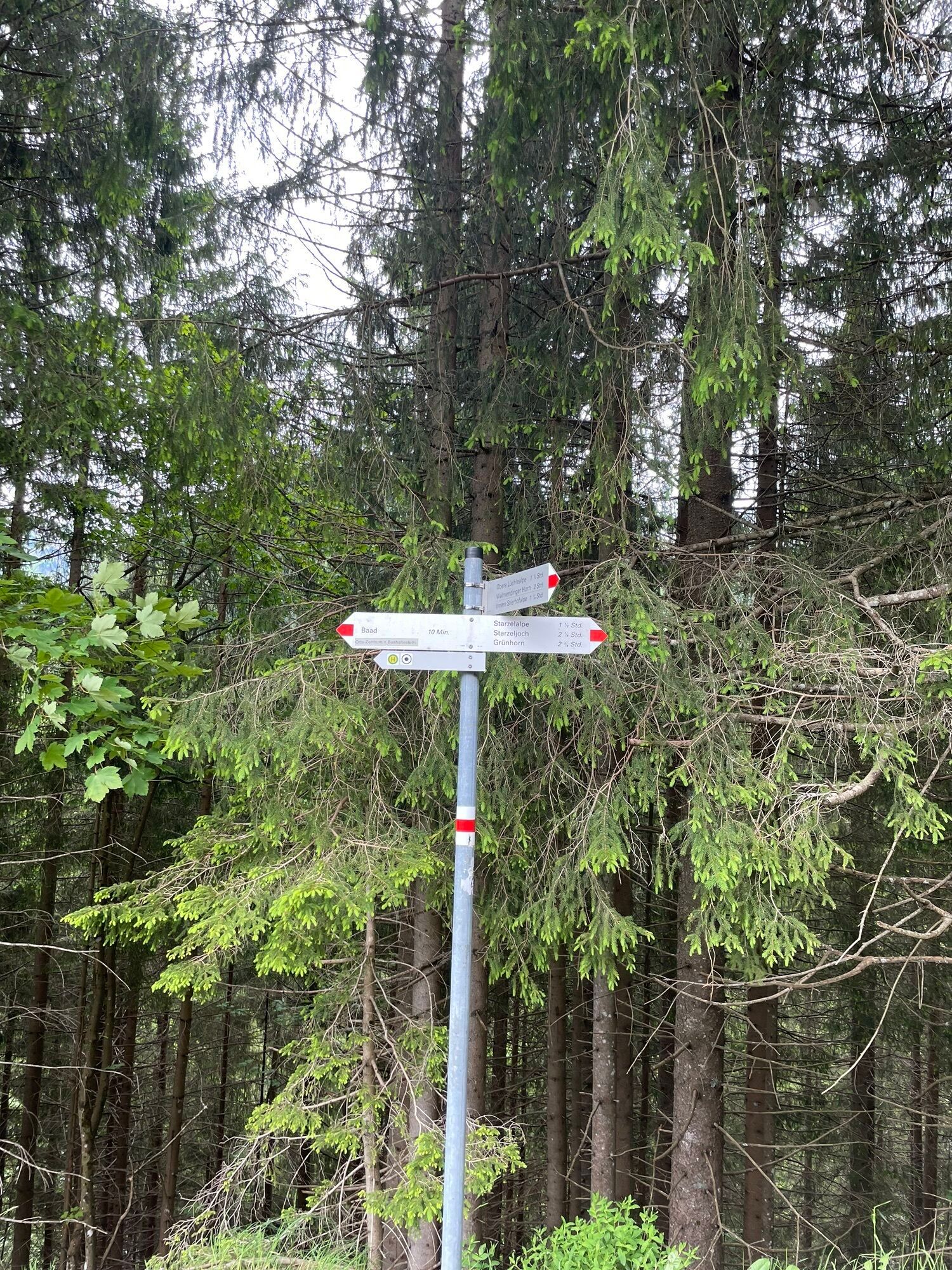
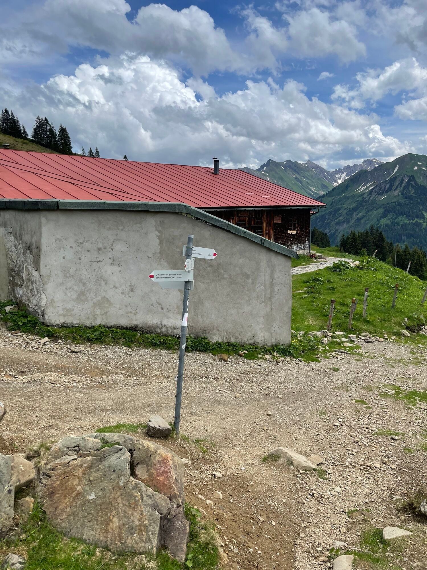
The start of the route is in the mountain village of Baad, which can be easily reached by bus (Walserbus from Oberstdorf). First, we follow the road to the Starzelhaus inn. From here, we follow the winter hiking trail towards Duratal until we reach the inner Turaalpe. After about 300m, we come to a wide clearing in the forest, where we follow the slope upward (keep left). After about 30 minutes, we reach an open pasture area (at about 1,700m). From here, we ascend gently towards the Ochsenhofer Scharte. Always keeping slightly left until we are below the Ochsenhofer Scharte, then we climb over the eastern slope of the Grünhorn to the summit.
Descent
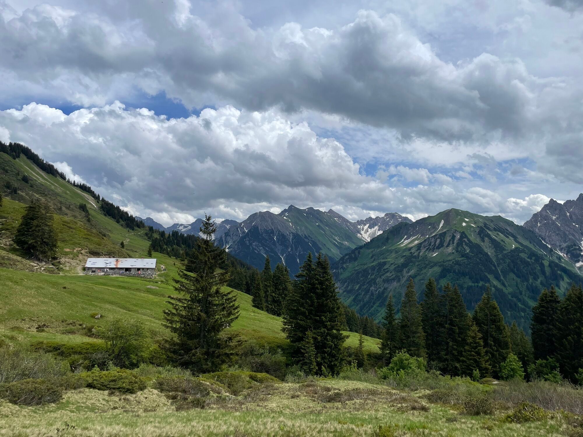
We enjoy the descent down to the Starzelalpe, then ascend to the inner Stierhofalpe. We do not follow the descent into the Turabach valley, as the descent is not nice to ski. Continuing through the south-facing forest, we ride from clearing to clearing down into the valley. From here, we follow the winter hiking trail towards Starzelhaus and enjoy the last slopes in the village of Baad itself until we return to the starting point.
Ano
Complete ski touring equipment including avalanche emergency gear: avalanche transceiver, shovel, and probe (standard); optional backpack with avalanche airbag
Away from secured pistes and paths, everyone is responsible for themselves and must inform themselves about alpine dangers, especially avalanche risk. Weather conditions and snow conditions may require changes to the route.
The GPS track given is only a suggestion. No liability can be assumed for the accuracy of the information.
EMERGENCY NUMBERS:
144 Alpine emergencies Vorarlberg 112 European emergency call (works with any mobile phone/network)When traveling by car, form car-sharing groups.
Most routes from Germany converge in Ulm and continue on the A7. At the Allgäu motorway junction, take the A980 section to the Waltenhofen exit and then the four-lane B19 via Sonthofen and Oberstdorf into the Kleinwalsertal.
From Austria (Vorarlberg) and Switzerland, you can reach Kleinwalsertal via the Bregenzerwald (Hittisau) – Riedbergpass – Fischen – Oberstdorf.
Coming from Tyrol, the fastest route is via the A7 to Kempten and then on the B19 towards Oberstdorf. You do not need a motorway vignette for the drive into the valley.
Just leave your car behind!
Take the train to Oberstdorf. Directly opposite the station, the Walserbus runs towards Kleinwalsertal. Line 1 goes directly to Baad.
Paid parking spaces are located near the starting point.
Parking along the state road is not allowed.
PD


Webové kamery z prohlídky
-
Diedamskopf Mittelstation / Wedelstube
-
Diedamskopf Bergstation
-
Hahnenköpflebahn Bergstation / Ifenbergbahn
-
Zaferna Bergstation
-
Breitenalpe
-
Wildentalhütte
-
Mittelberg - Naturhotel Lärchenhof
-
Mittelberg Bödmen - Hotel Alte Krone
-
Warth-Schröcken - Saloberarena
-
Mittelberg - Haus Walser Berge
-
Mittelberg - Bergpension Starzelhaus
-
Warth-Schröcken - Widdersteinhütte
-
Mittelberg - Gästehaus Otto Fritz
-
Kleinwalsertal
-
Ifenbahn Bergstation
-
Ifenbahn Bergstation
-
Ifenbahn Bergstation
-
Ifenbahn Bergstation
-
Ifenbahn Bergstation
-
Ifenbahn Bergstation
-
Kleinwalsertal - Ifenbahn
-
Warth
-
Kleinwalsertaler Rosenhof
-
Alpenwald
-
Hotel Alpenstüble
-
Mittelberg


Oblíbené prohlídky v okolí
-
4.1
Kanisfluh, 2.044 m
středníTuristika 4.41 km -
4.7
Winterstaude
středníTuristika 9.30 km -
4.8
Circular hike through the Gemsteltal
světloTuristika 5.53 km -
4.6
Mountain tour over the Fellhorn ridge
středníTuristika 8.24 km -
4.6
Au | Sonnenauf- und Sonnenuntergangswanderung auf die Kanisfluh
středníTuristika 5.55 km -
4.2
2-Länder-Panorama-Rundwanderweg Fellhorn/Kanzelwand
světloTuristika 6.70 km -
4.5
Circular hike through the Derratal
středníTuristika 8.11 km -
4.7
Circular hike through the Duratal
středníTuristika 7.77 km -
4.7
Widderstein Runde von Baad
středníTuristika 15.8 km -
4.3
Circular hike through the Bärgunttal
středníTuristika 4.75 km
Pěší turistika a stopování


Nenechte si ujít nabídky a inspiraci pro vaši příští dovolenou
Vaše e-mailová adresa byl přidán do poštovního seznamu.


