


Hike to the Hirzer
Úroveň obtížnosti: T2
This route, frequently walked in winter, offers pure solitude in summer. You should have a bit of an orientation sense because the summit destination is not signed, except for a sign at the Povers Alm,...
This route, frequently walked in winter, offers pure solitude in summer. You should have a bit of an orientation sense because the summit destination is not signed, except for a sign at the Povers Alm, and the markings are heavily faded. Stone cairns reliably mark the way.


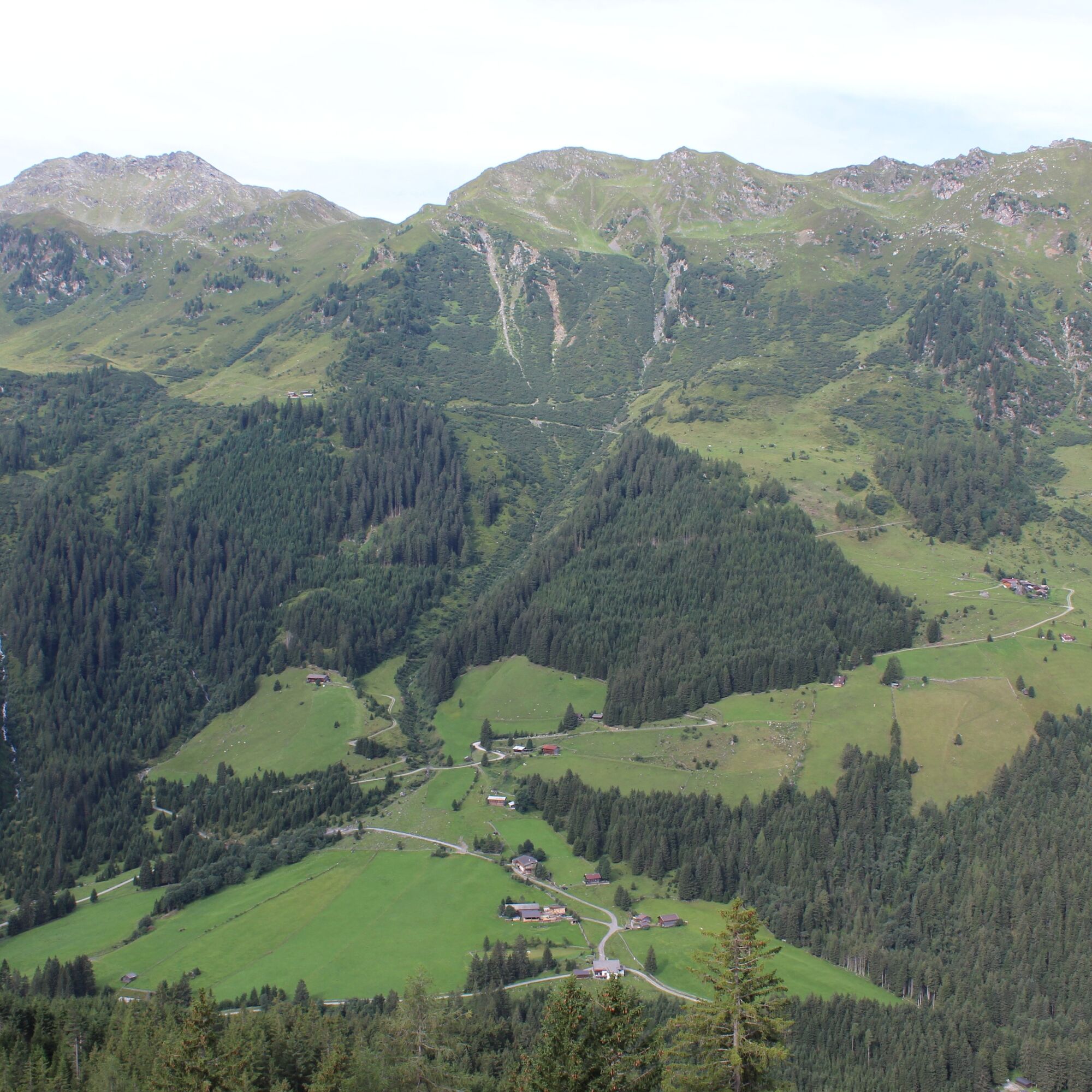
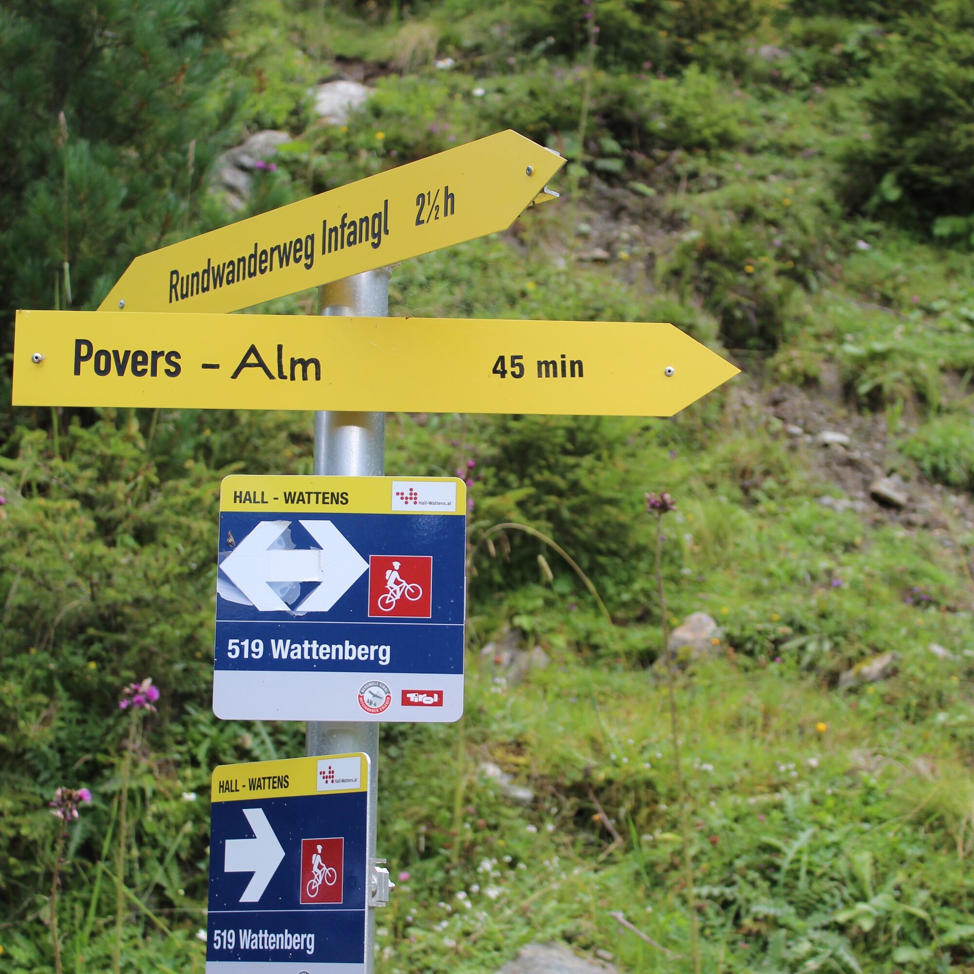
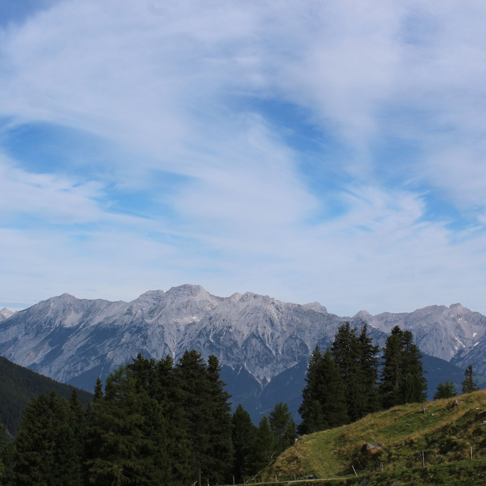
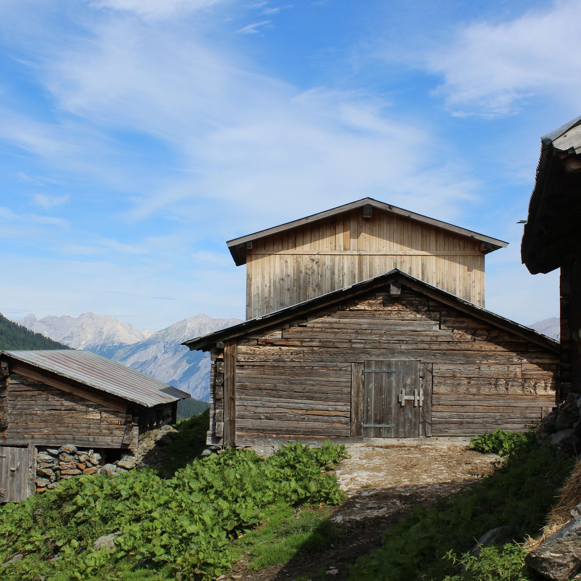
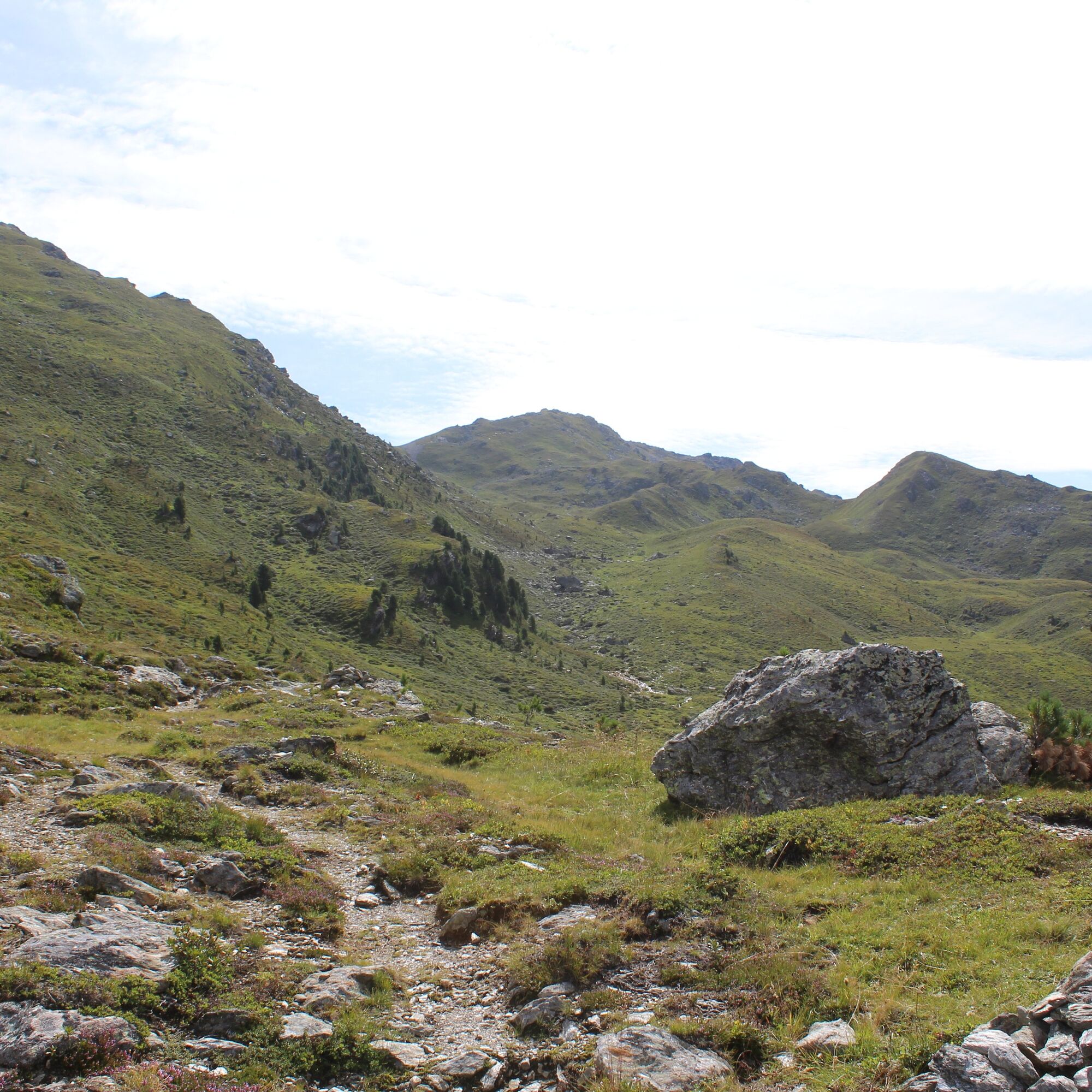
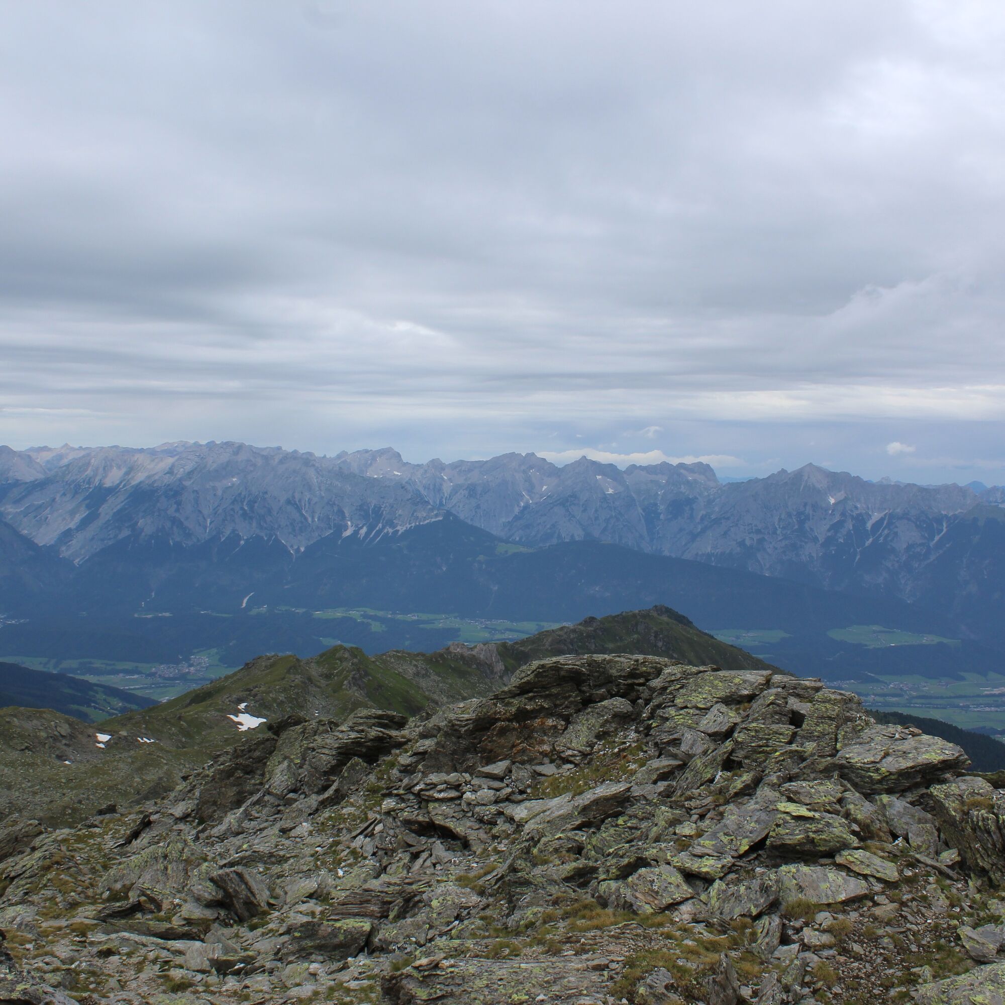
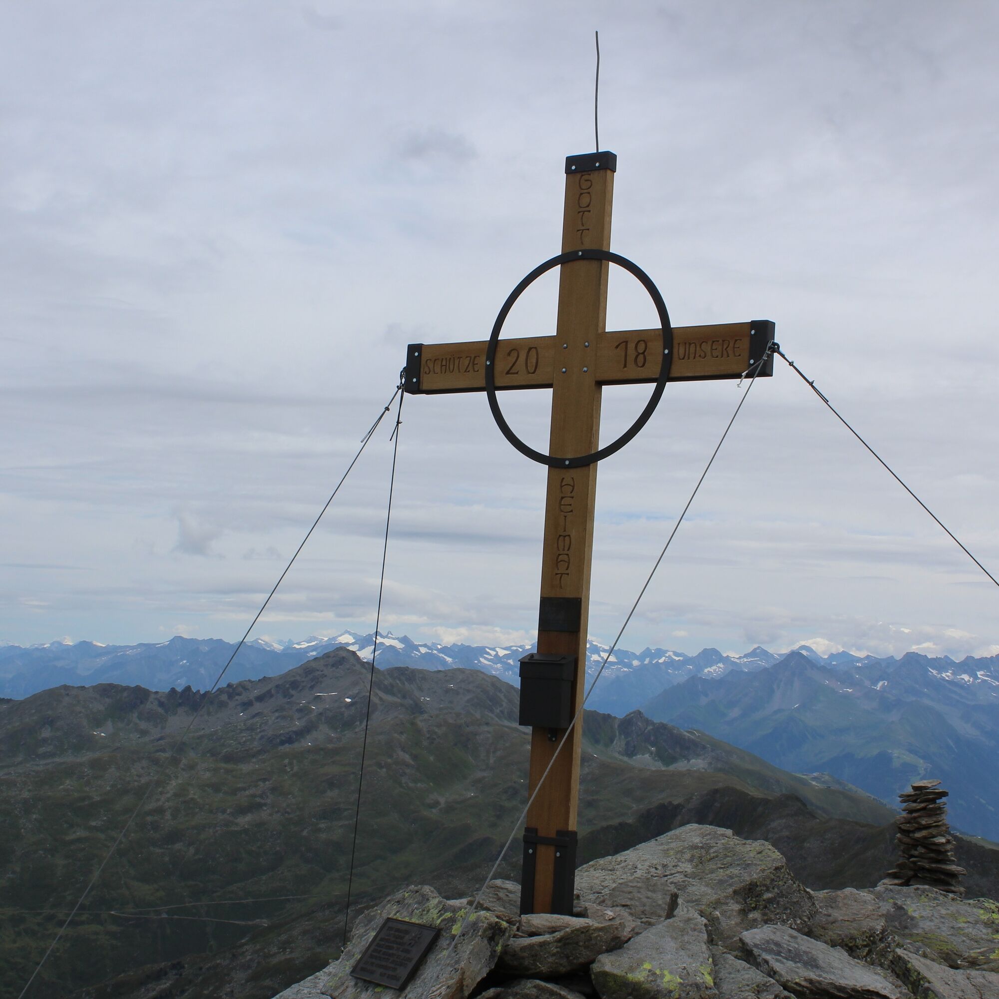
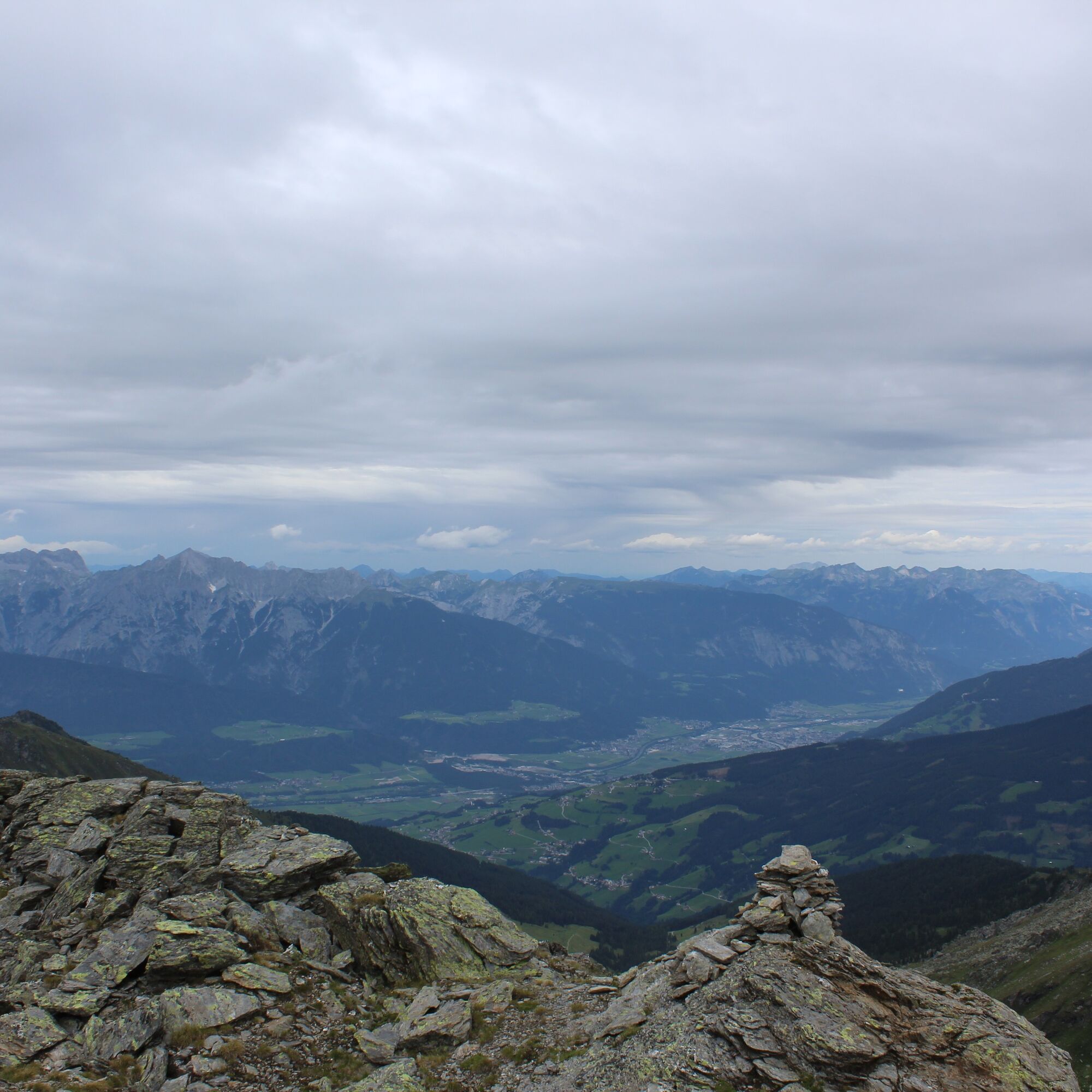
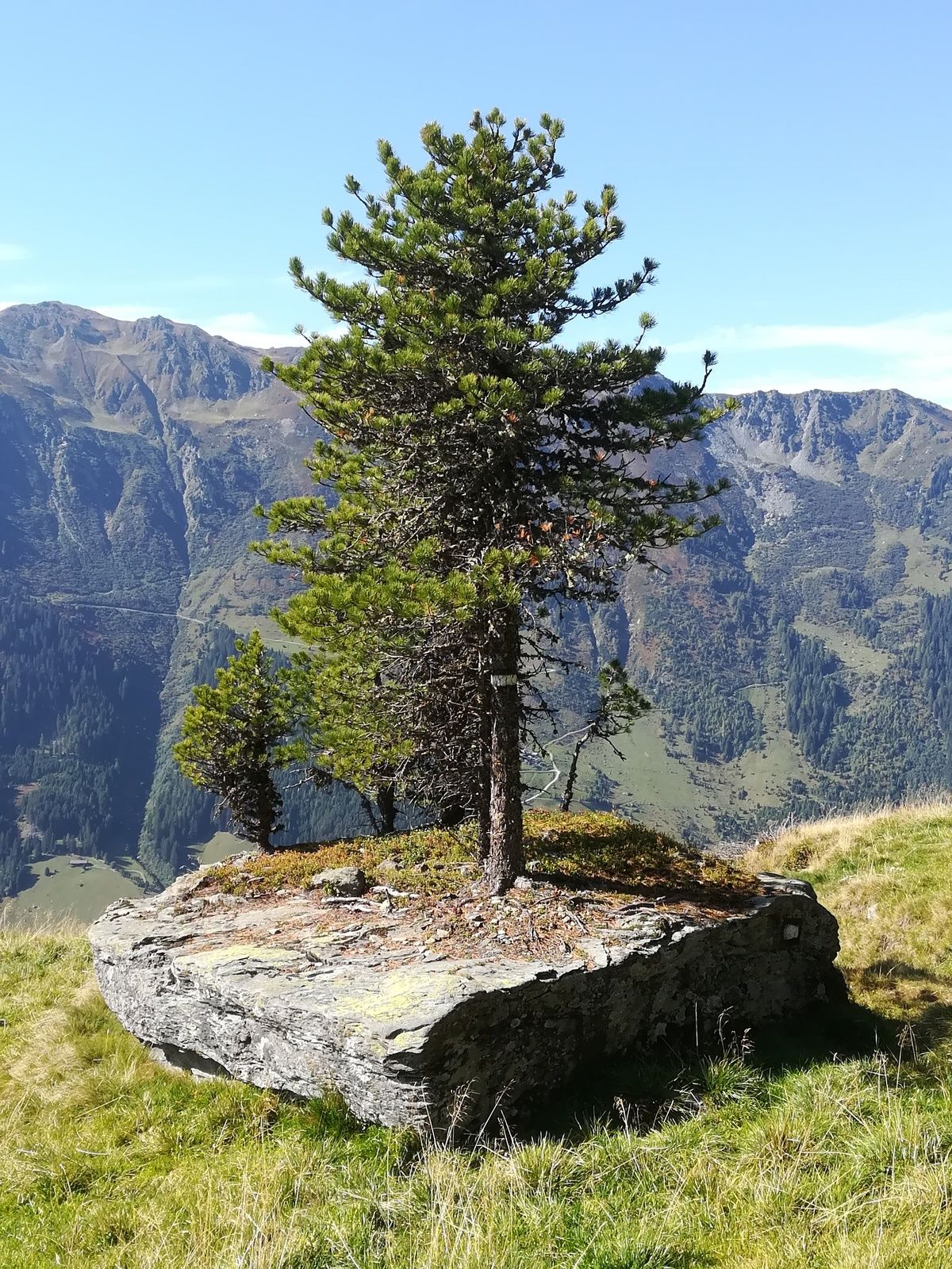
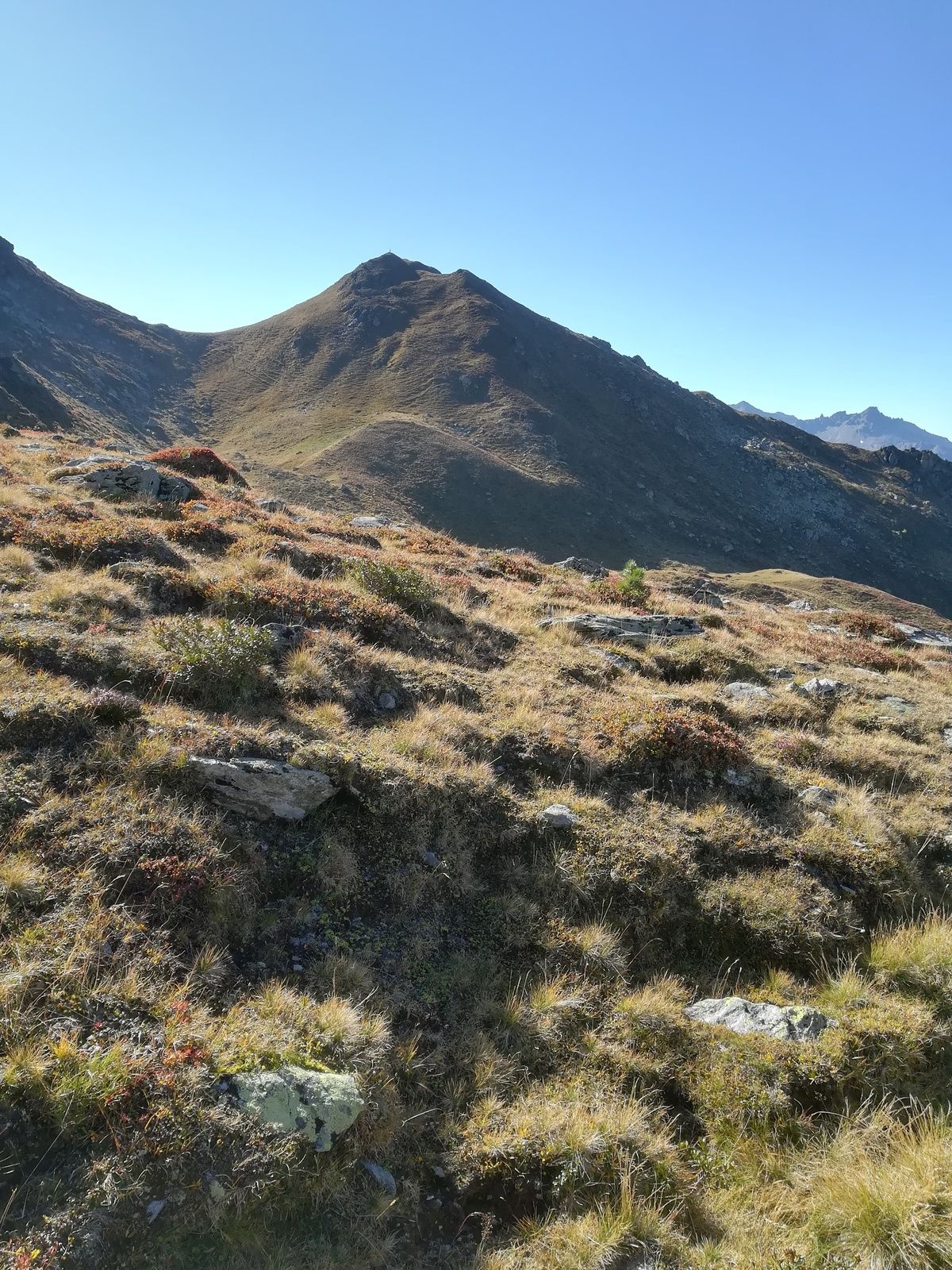
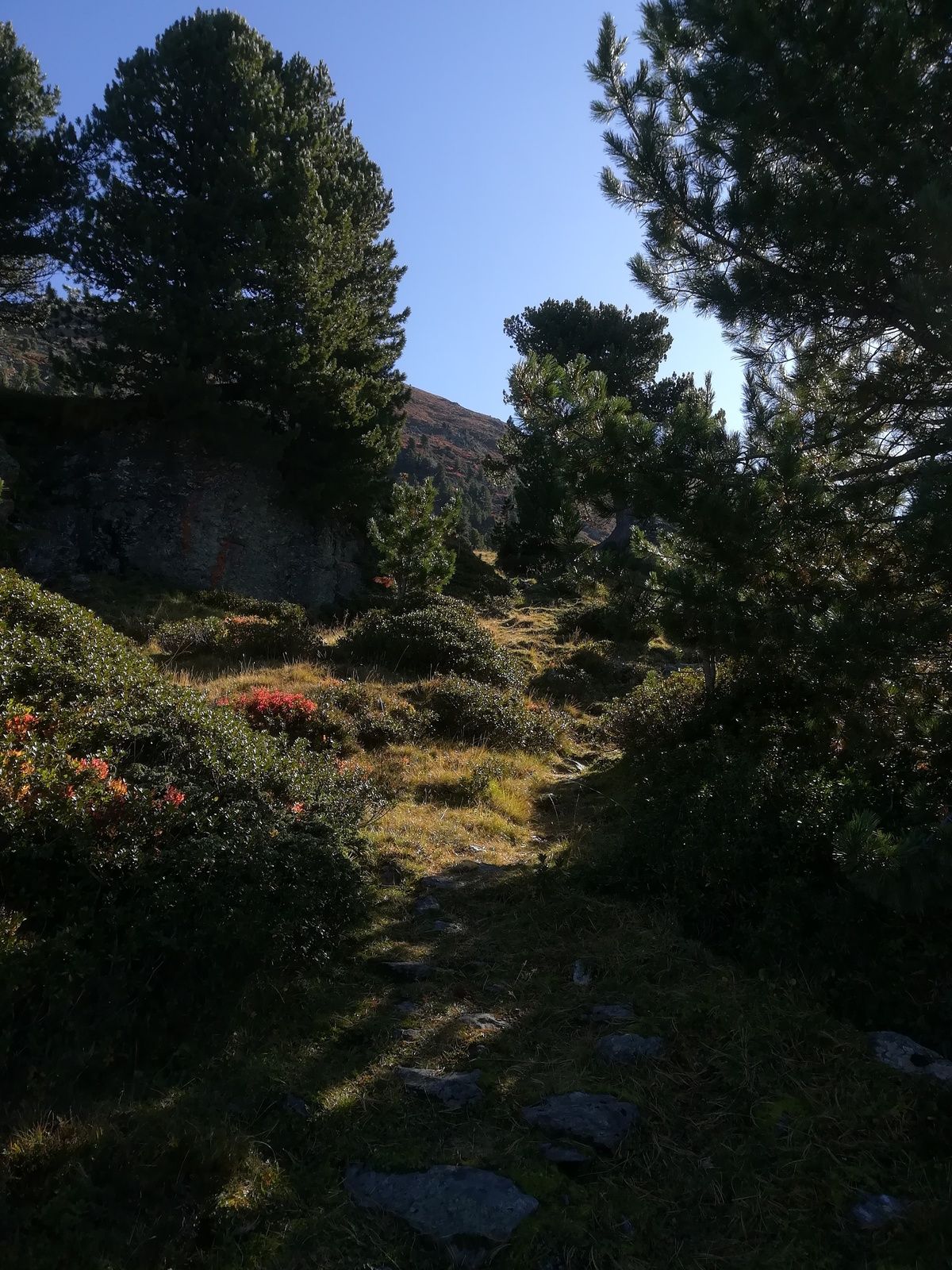
From the Gasthof Hanneburger, follow the alpine path to the Povers Alpe. Once there, take an unmarked path ascending always to the right of the highest house. Footprints are clearly visible, but a bit of orientation sense generally does no harm on this route—besides good fitness! From the Povers Hochleger, continue south along a cirque path, veering west into the cirque with a view of the Olperer. From here, markings are unclear, so it is better to follow the numerous stone cairns. At the height of the Lanner Cross (situated south of our ascent), the path turns east onto the broad ridge of the Hirzer. Head towards a large stone cairn, then continue along the ridge. Upon reaching the ridge, you will finally see the summit cross of the Hirzer among the rock blocks to the south. From here, it is an easy rock scramble in about 10 minutes to the summit cross at 2725 m. Return the same way.
Ano
Via Wattens - Wattensberg towards Lager Walchen
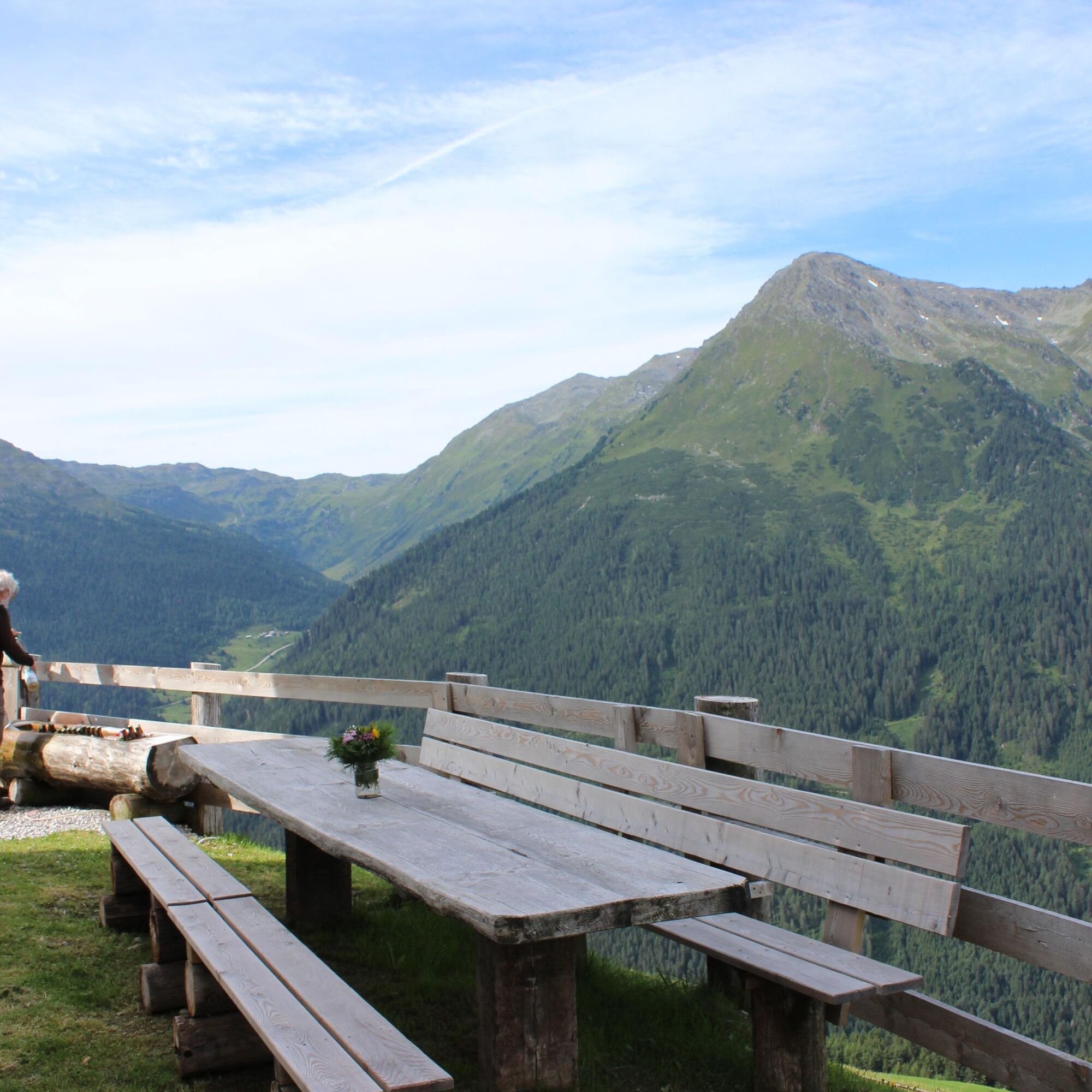
Enough parking spaces just before the Gasthof Hanneburger
T2
Oblíbené prohlídky v okolí
- 4,7
Felix-Kuen via ferrata on the Hundskopf
heavyVia ferrata 2,18 km - 4,6
Patscherkofl
středníTuristika 18,5 km - 4,9
4-Gipfel-Tour zum Gilfert
středníTuristika 11,2 km - 4,6
To the scenic Hochmahdkopf
středníTuristika 8,31 km - 3,9
To the alpine inn St. Magdalena in the Halltal
středníTuristika 7,24 km - 4,5
Up to the Largoz
středníTuristika 7,01 km - 4,7
Hochfügen, Vier-Almen-Tour, Tirol/Österreich
světloTuristika 7,82 km - 4,9
3 Almen Karwendelrunde MTB Route 408
heavyMountainbike 23,8 km - 4,9
Patscherkofel Gipfelrunde mit Zirbenweg
světloTuristika 6,52 km - 5,0
Loassattel - Kuhmesser - Kellerjoch - Kellerjoch Kapelle - Hochebenweg - Loassattel
středníTuristika 8,70 km
Pěší turistika a stopování


Nenechte si ujít nabídky a inspiraci pro vaši příští dovolenou
Vaše e-mailová adresa byl přidán do poštovního seznamu.