
To the alpine inn St. Magdalena in the Halltal
střední
Pořiďte si tuto prohlídku do mobilního telefonu
To the alpine inn St. Magdalena in the Halltal
střední
Turistika
7.24
km
Naskenujte QR kód a spusťte navigaci v aplikaci bergfex.


Pěší turistika a stopování




To the alpine inn St. Magdalena in the Halltal
střední
Vzdálenost
7.24
km
Doba trvání
04:00
h
Ascent
488
hm
Hladina moře
779 -
1286
m
Úroveň obtížnosti: T2
Stažení skladby
To the alpine inn St. Magdalena in the Halltal
střední
Turistika
7.24
km
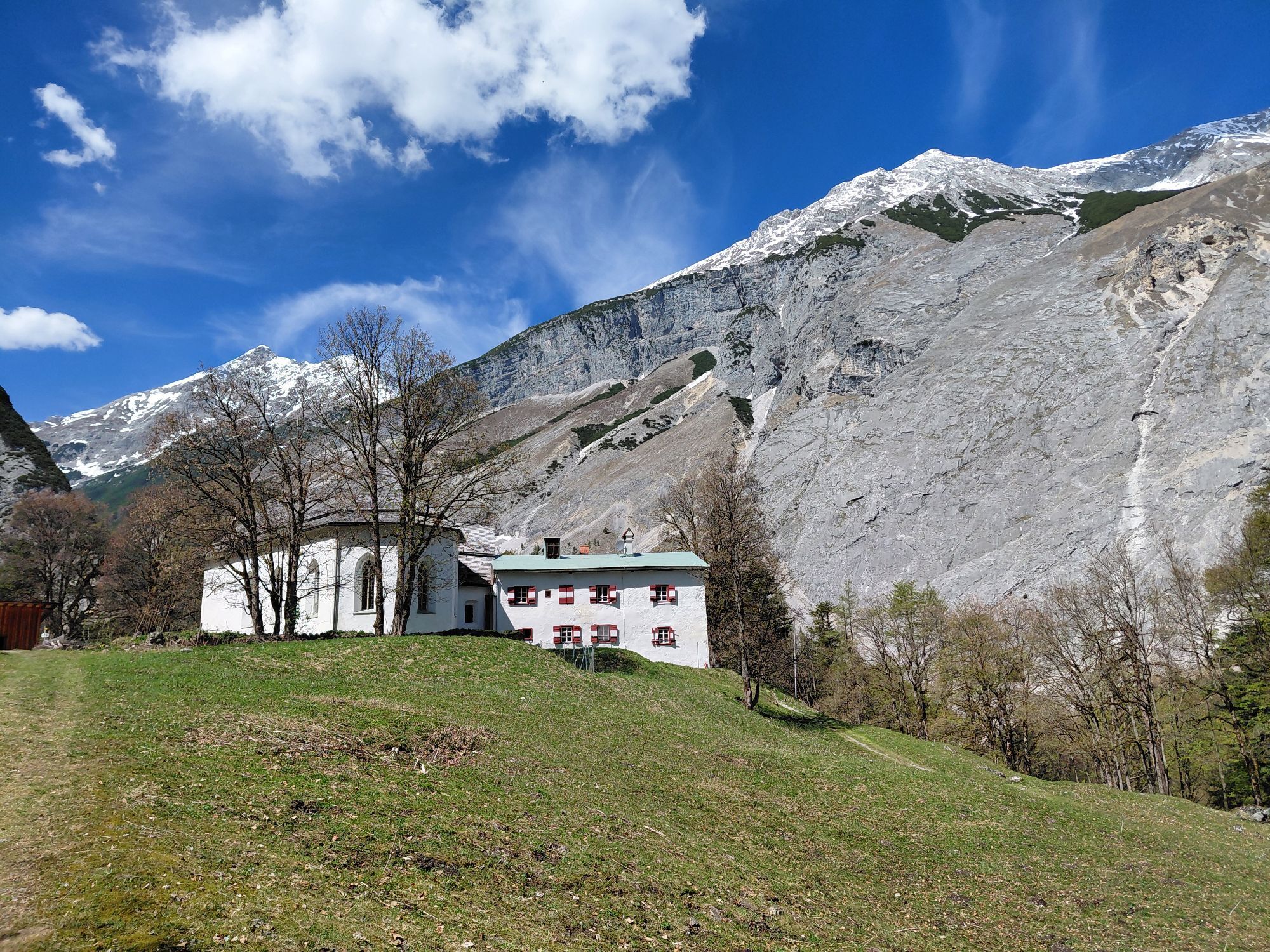
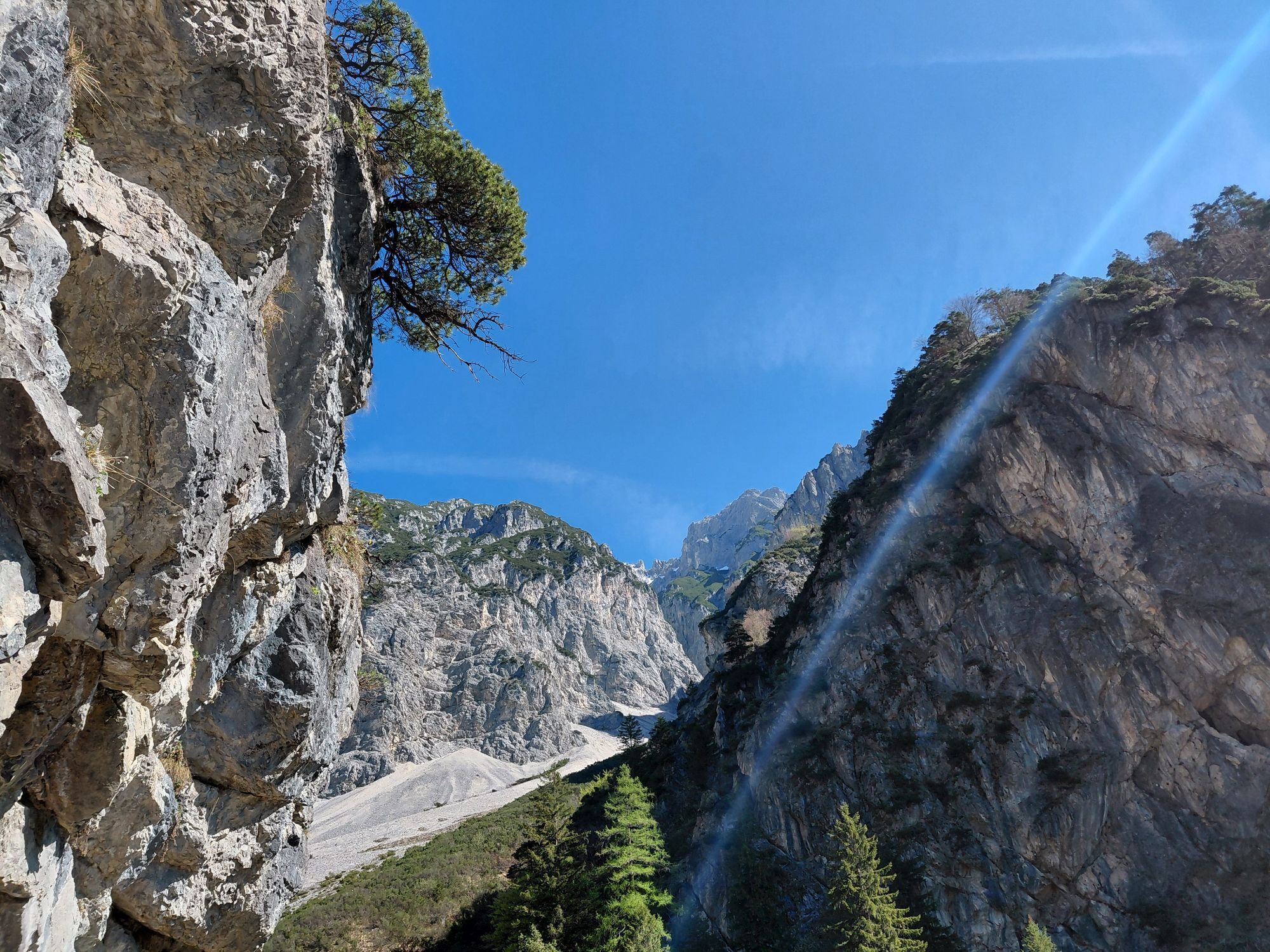
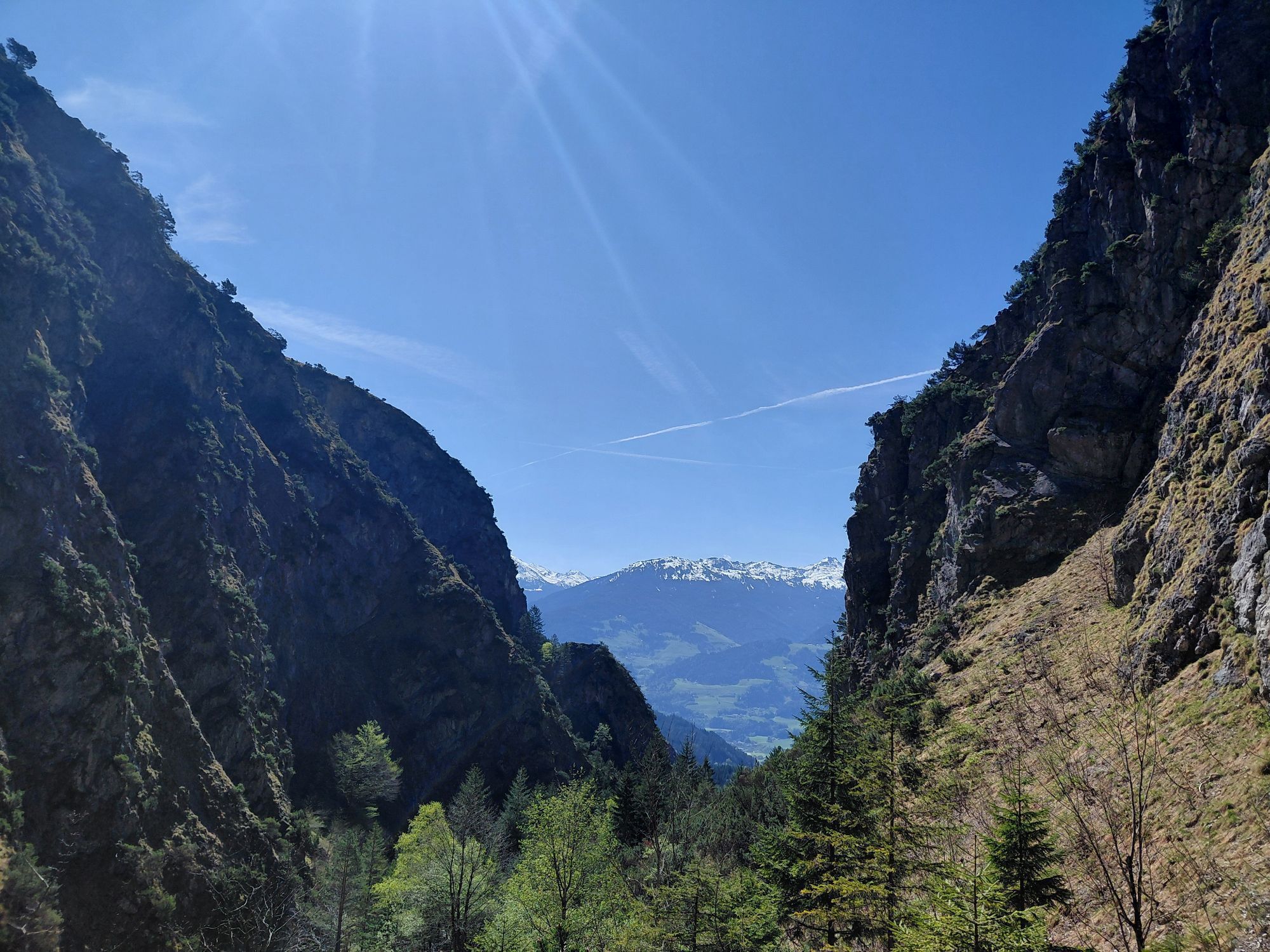
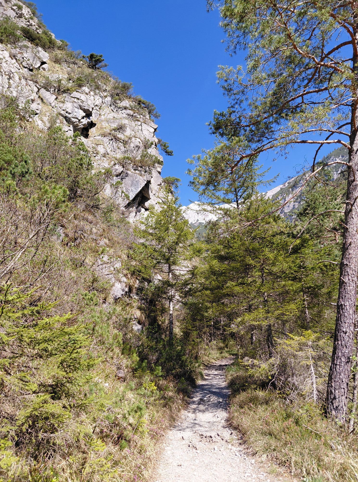
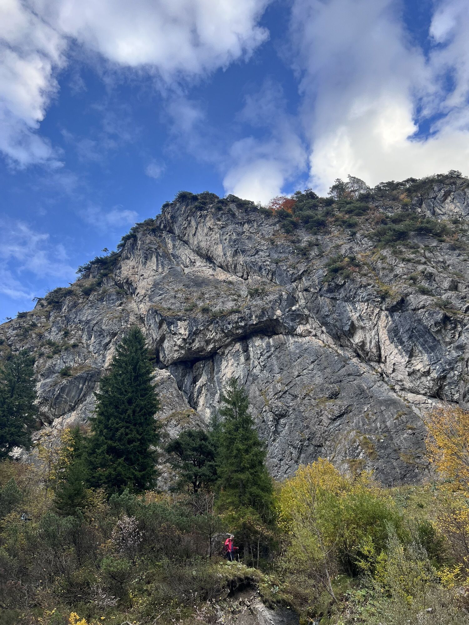

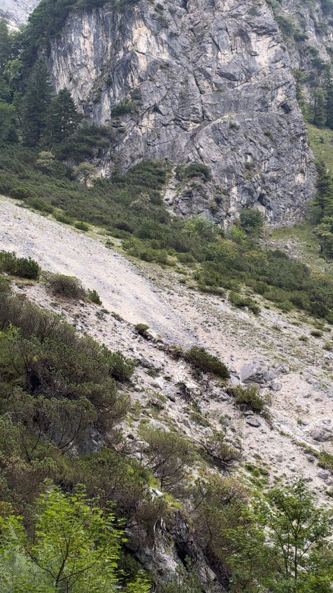
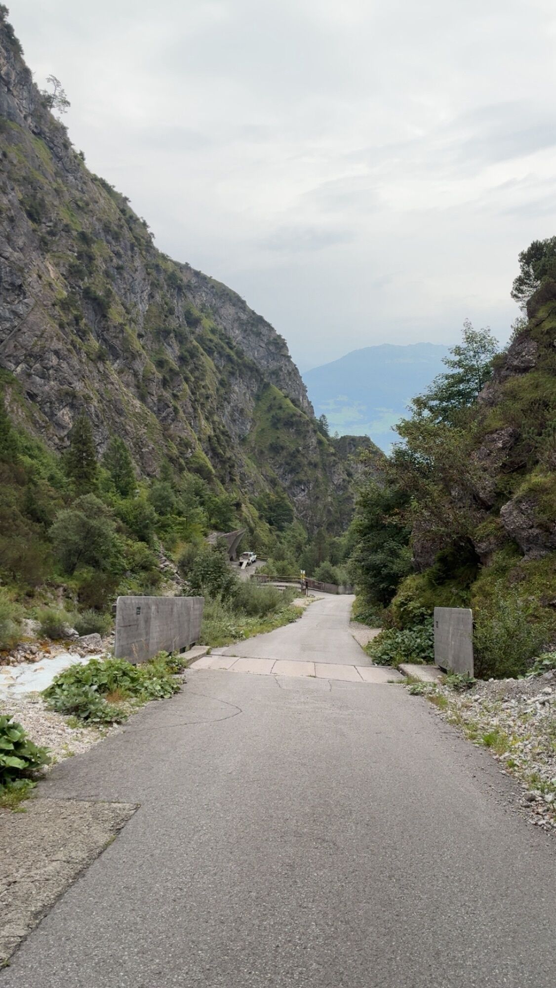
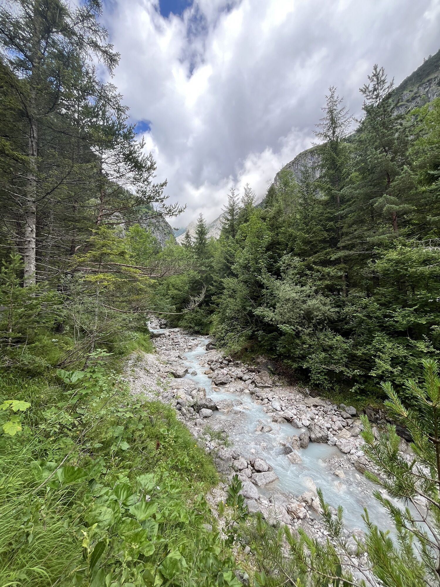
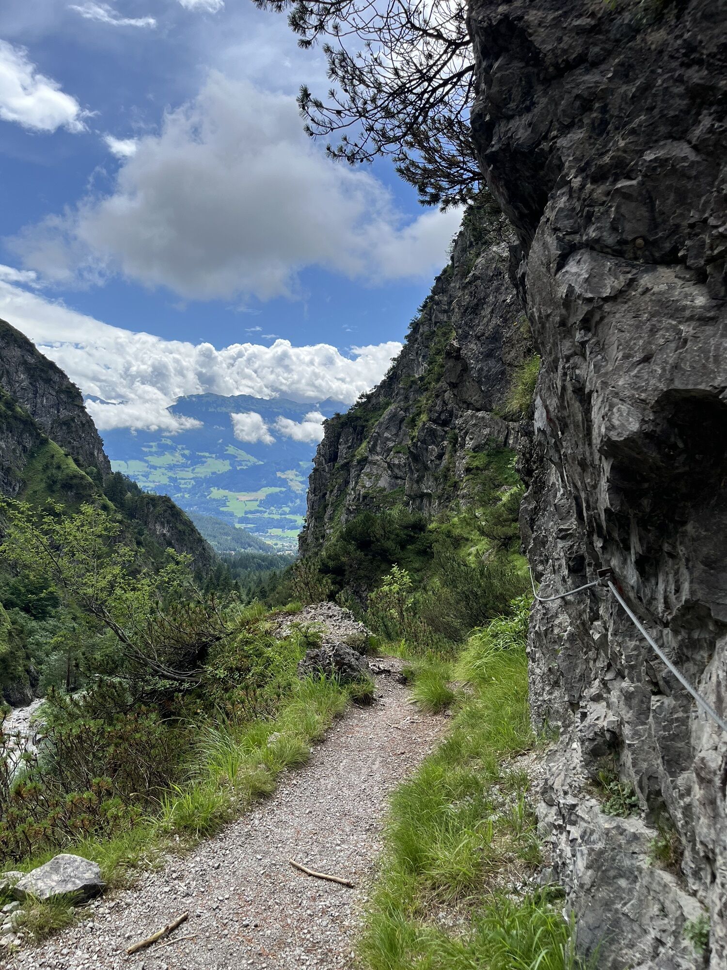
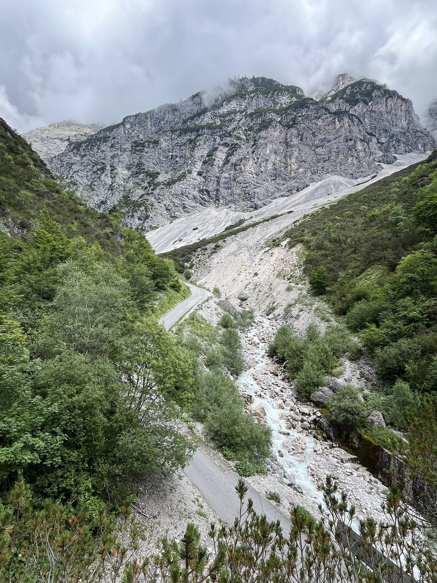
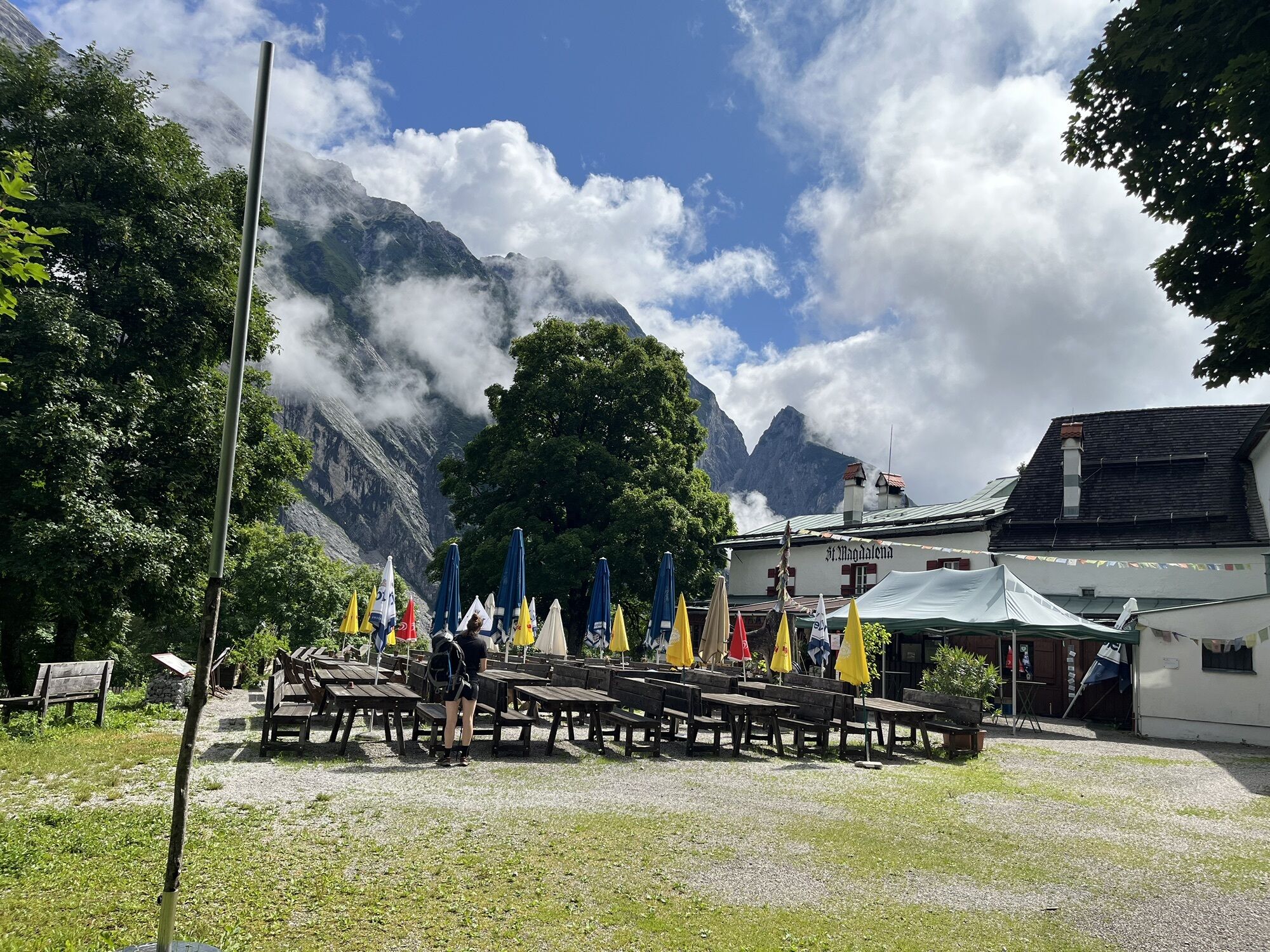
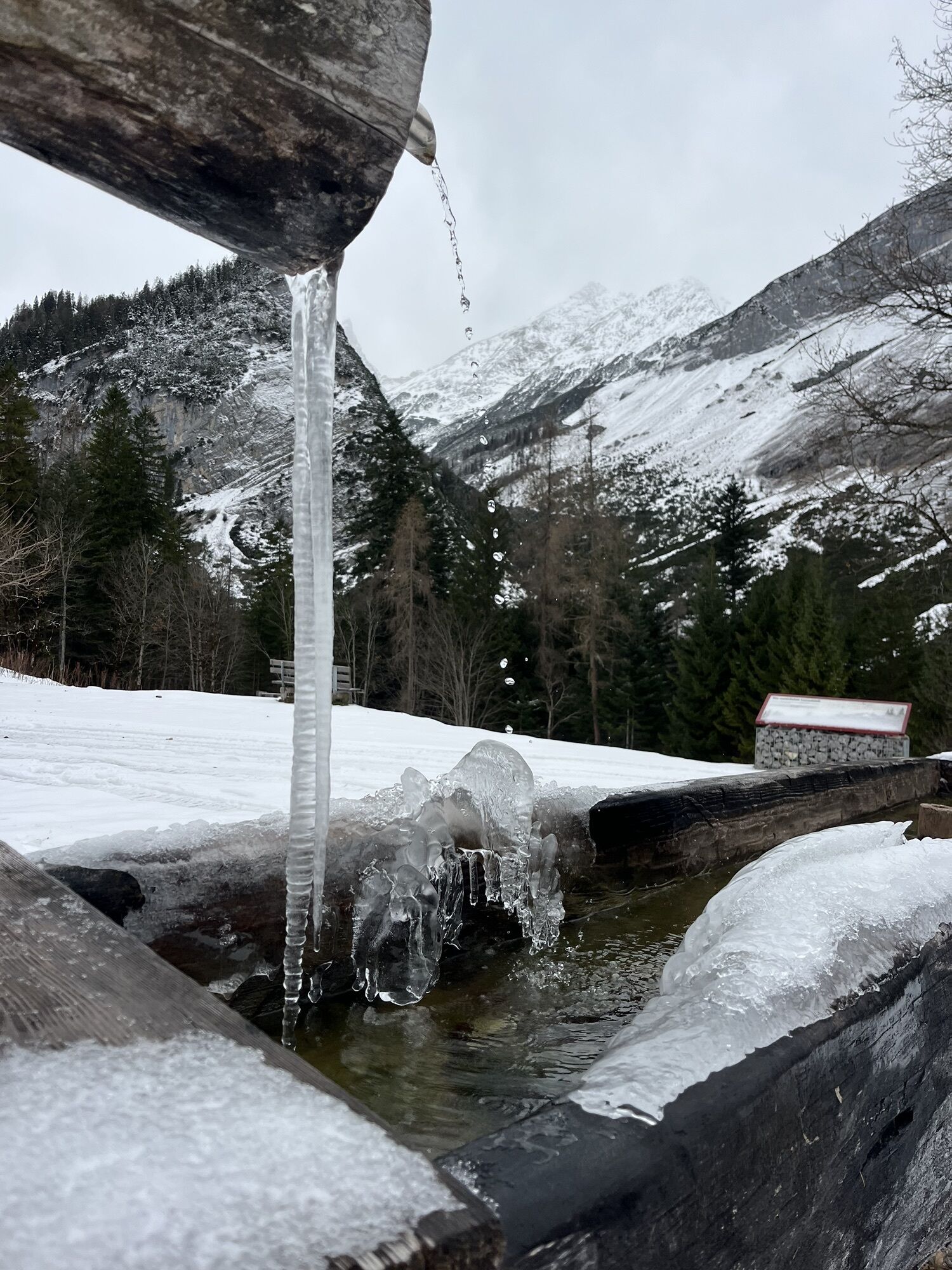
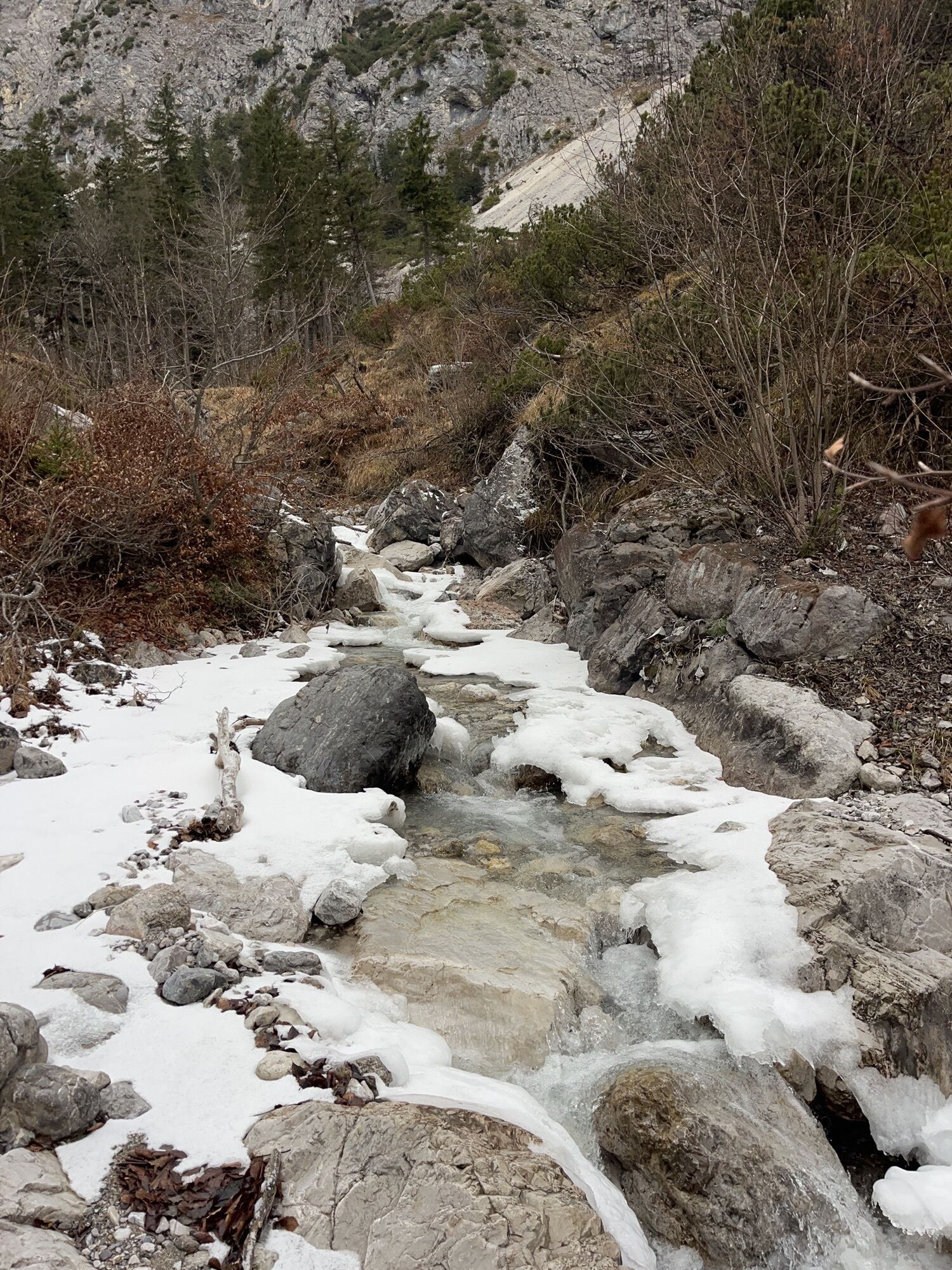
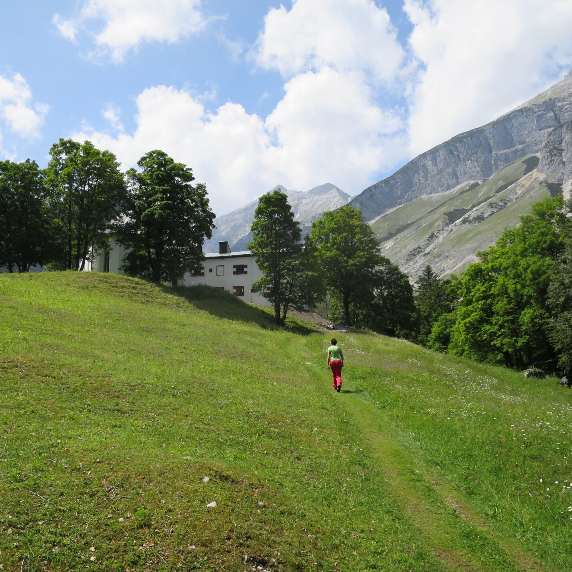
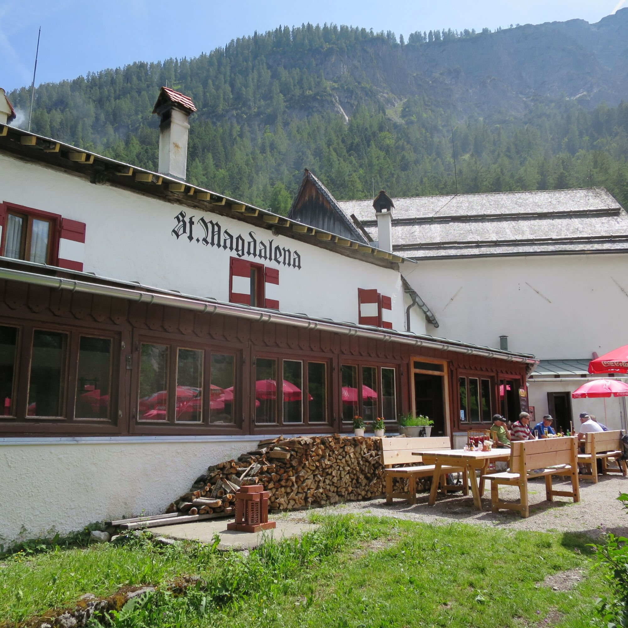
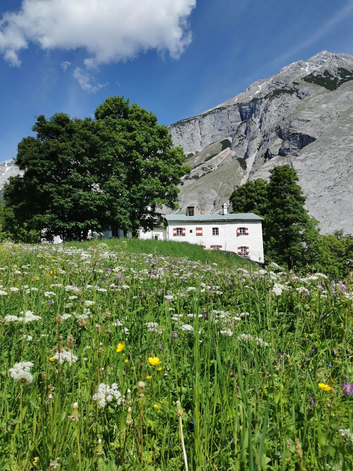
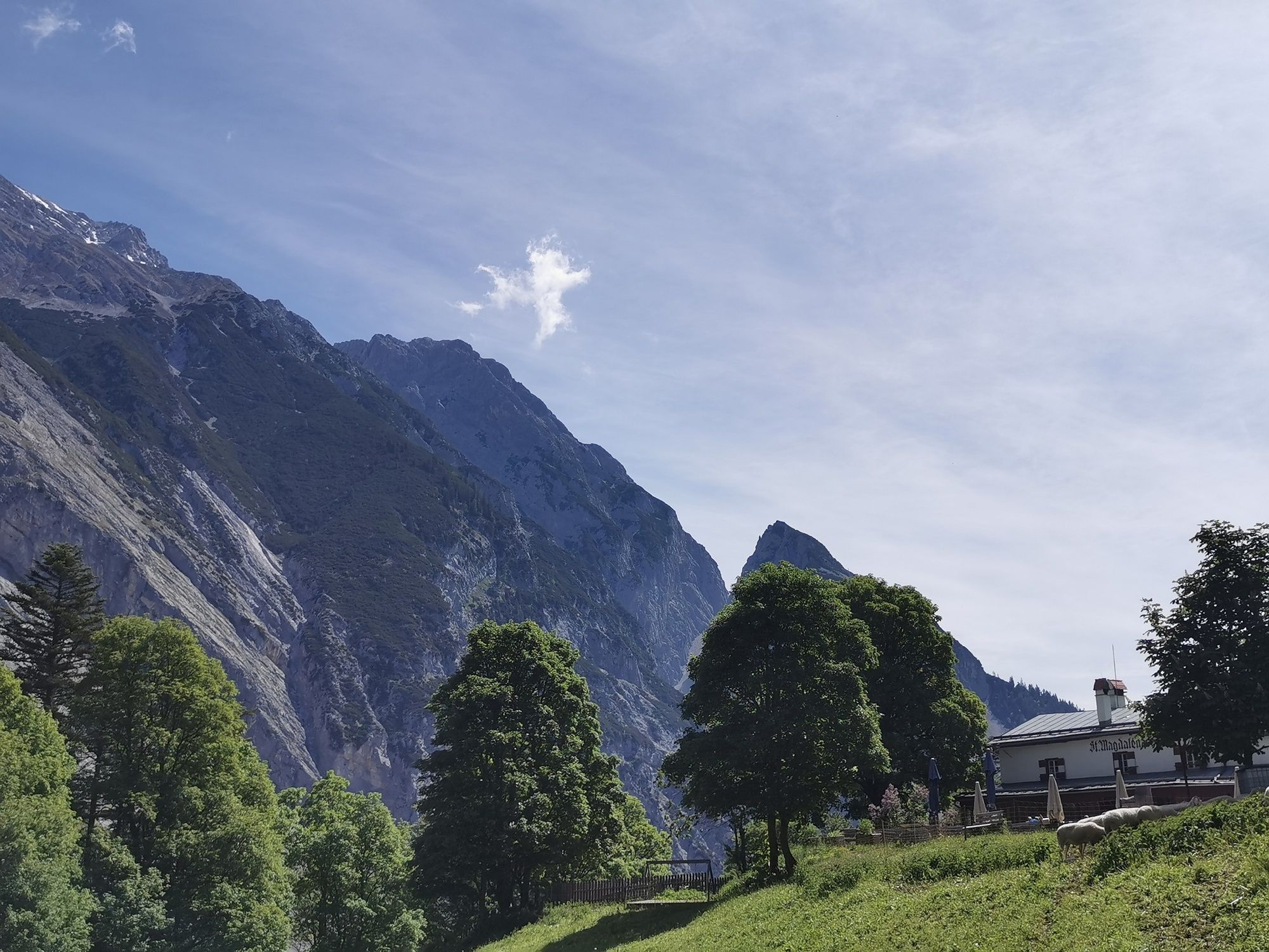
This route leads into the blessed Halltal. At the end, the alpine inn St. Magdalena offers a place to rest!
Trasa
Bergerkapelle
(884 m)
Místo konání bohoslužeb
1.0 km
Bettelwurfeck
(1048 m)
Koridor/terén
2.3 km
Kohlanger
(1237 m)
Koridor/terén
3.2 km
Bergerkapelle
(884 m)
Místo konání bohoslužeb
6.1 km
Trasa
To the alpine inn St. Magdalena in the Halltal
střední
Turistika
7.24
km
Hacklweiher
(790 m)
Koridor/terén
0.1 km
Bergerkapelle
(884 m)
Místo konání bohoslužeb
1.0 km
Bettelwurfeck
(1048 m)
Koridor/terén
2.3 km
Jakobibründlquelle
(1048 m)
Zdroj:
2.3 km
Kohlanger
(1237 m)
Koridor/terén
3.2 km
Jausenstation St. Magdalena
(1287 m)
Restaurace
3.5 km
Jakobibründlquelle
(1048 m)
Zdroj:
4.8 km
Bettelwurfeck
(1048 m)
Koridor/terén
4.9 km
Bergerkapelle
(884 m)
Místo konání bohoslužeb
6.1 km
Hacklweiher
(790 m)
Koridor/terén
7.0 km
Autor
Poskytuje Tourismusverband Region Hall-Wattens
Prohlídku To the alpine inn St. Magdalena in the Halltal zajišťuje outdooractive.com.

Naposledy sledované
před 7 dny

Informace o trase
Trasa
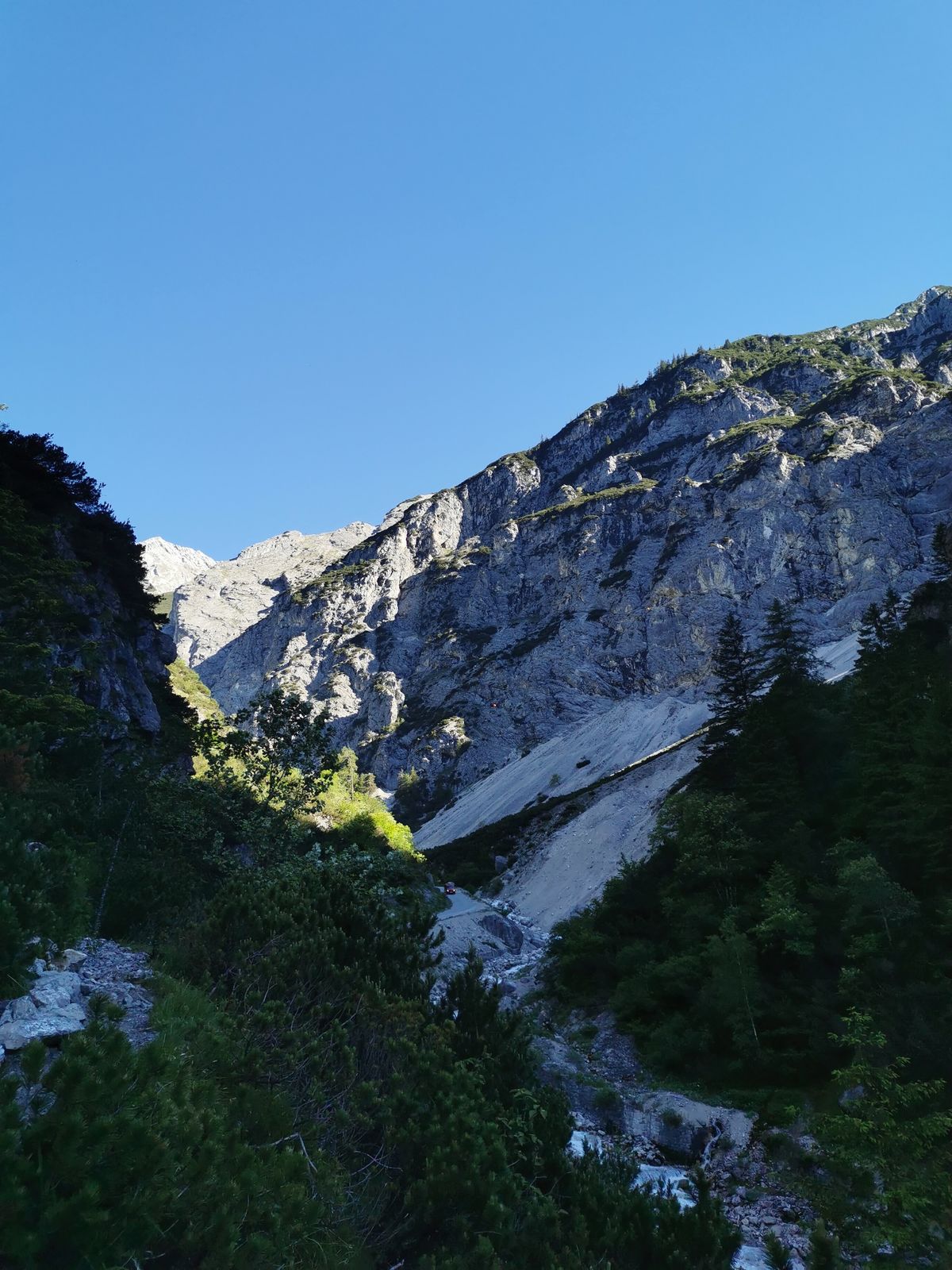
At the entrance of the Halltal this hike begins. You can follow it along the salt hiking trail on the forest road inward or outward, or after about 40 minutes turn left onto the Fluchtsteig and follow it now to St. Magdalena.
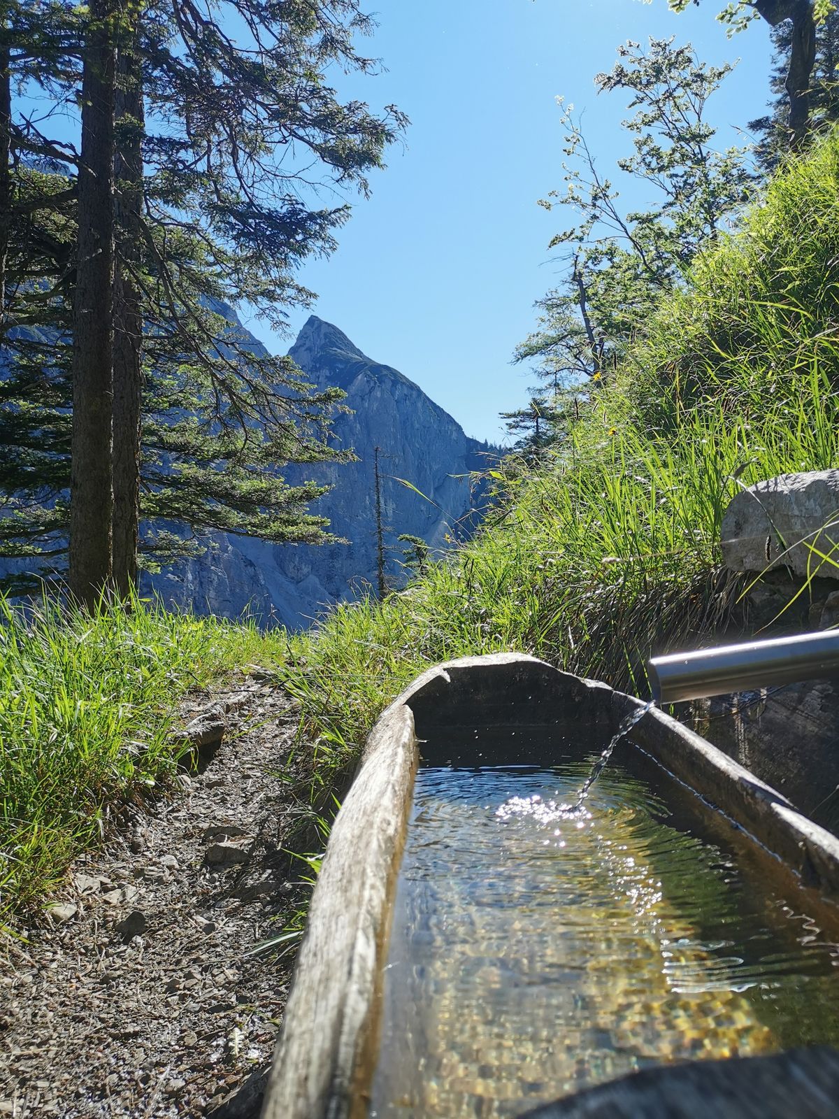
The breathtaking scenery offers us the steep Bettelwurf walls to our left and in the distance the walls of the Speckkar.
The return route follows accordingly.
Vhodné pro rodiny
Ano
Jednosměrná prohlídka
Ano
Informace o příjezdu
Příjezd
Hall Mitte - Absam - Halltal parking lot
Veřejná doprava
By "Bus 502/503" to Absam - "Bettelwurfsiedlung"
Parkování
Halltal hiking parking lot
Další informace a tipy
Úroveň obtížnosti
T2
Oceňování

Webové kamery z prohlídky
Získejte přehled Vždy živě na místě s více než 9 500 webkamerami. bergfex Jako uživatel Pro si nyní můžete zobrazit odpovídající webové kamery pro mnoho prohlídek v aplikaci prohlídky z. Můžete si tak přímo prohlédnout aktuální podmínky. Aktivity na trase

Absam, Tirol/Österreich
10.08.2026 – TuristikaAbsam, Tirol/Österreich
09.08.2026 – Turistika
Absam, Tirol/Österreich
07.08.2026 – TuristikaAbsam, Tirol/Österreich
02.08.2026 – Turistika
Absam, Tirol/Österreich
27.07.2026 – Turistika
Absam, Tirol/Österreich
05.07.2026 – TuristikaAbsam, Tirol/Österreich
22.04.2026 – Turistika
Oblíbené prohlídky v okolí
- 5.0
Wanderung zum Isarursprung und Kastenalm
světloTuristika 14.0 km - 4.8
Rundwanderung Gleirschklamm
středníTuristika 13.2 km - 4.6
Hinterriss - Eng - Falkenhütte
středníTuristika 6.88 km - 4.8
Felix-Kuen via ferrata on the Hundskopf
heavyVia ferrata 2.18 km - 4.7
Halltal - Bettelwurfhütte - Kleiner und Großer Bettelwurf
heavyVysokohorská turistika 16.2 km - 4.7
3 Almen Karwendelrunde MTB Route 408
heavyMountainbike 23.8 km - 5.0
Gleirschklamm
středníTuristika 15.4 km - 4.9
Patscherkofel Gipfelrunde mit Zirbenweg
světloTuristika 6.52 km - 4.8
Seegrube - Hungerburg
středníTuristika 5.04 km - 4.8
Torscharte
středníTuristika 13.8 km
Pěší turistika a stopování

Více než 550.000 návrhů výletů, podrobné mapy a intuitivní plánovač tras dělají z aplikace nezbytnou výbavu pro všechny milovníky přírody.

Nenechte si ujít nabídky a inspiraci pro vaši příští dovolenou
Přihlaste se k odběru newsletteru
Chyba
Došlo k chybě. Zkuste to prosím znovu.Děkujeme za vaši registraci
Vaše e-mailová adresa byl přidán do poštovního seznamu.
Zájezdy po celé Evropě
Rakousko Švýcarsko Německo Itálie Slovenia Francie Nizozemsko Belgie Polsko Lichtenštejnsko Česko Slovensko Španělsko Chorvatsko Bosna a Hercegovina Lucembursko Andorra Portugal Iceland United Kingdom Ireland Greece Albania North Macedonia Malta Norway Montenegro Moldova Kosovo Hungary San Marino Romania Estonia Latvia Belarus Cyprus Lithuania Serbia Bulgaria Monaco Denmark Sweden Finland





