






Glungezer via ferrata

Úroveň obtížnosti: B/C
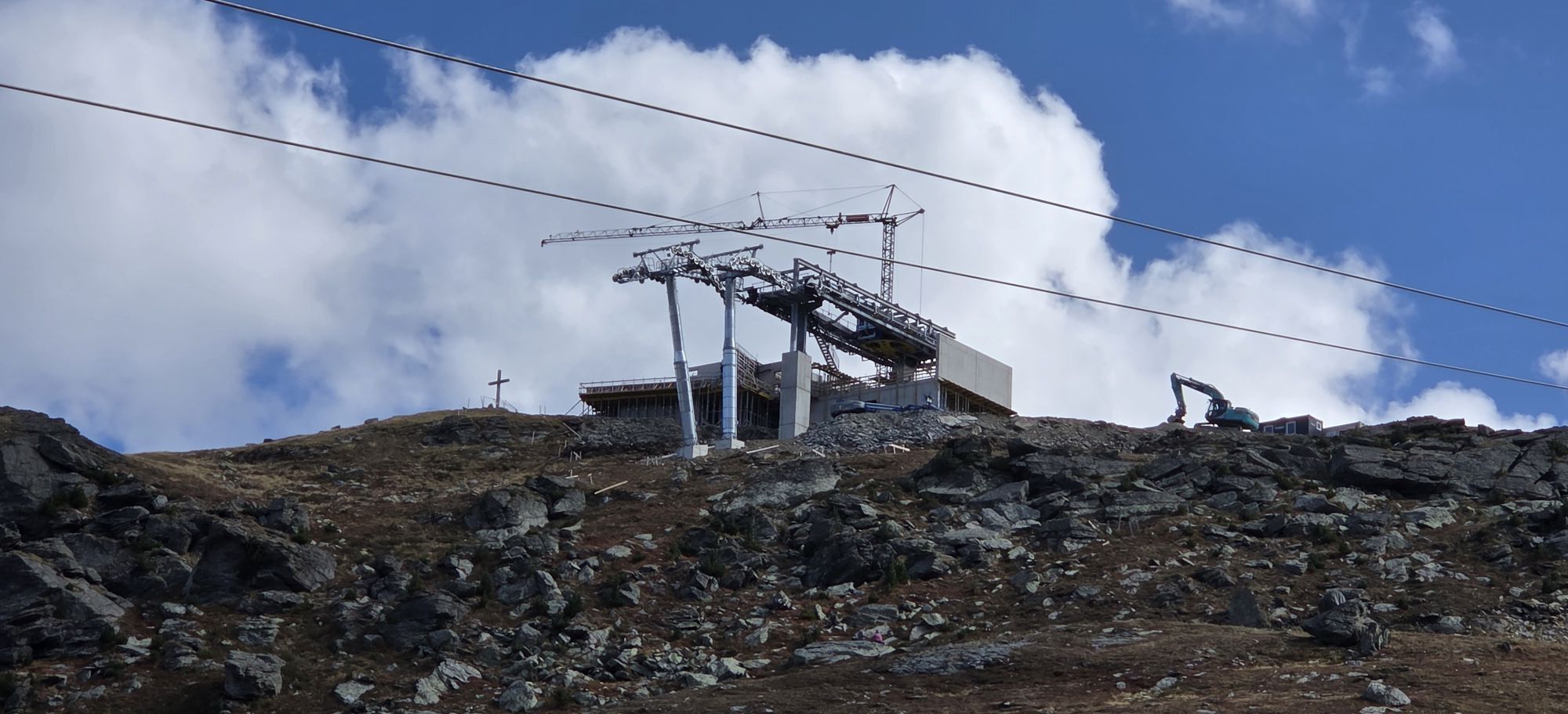
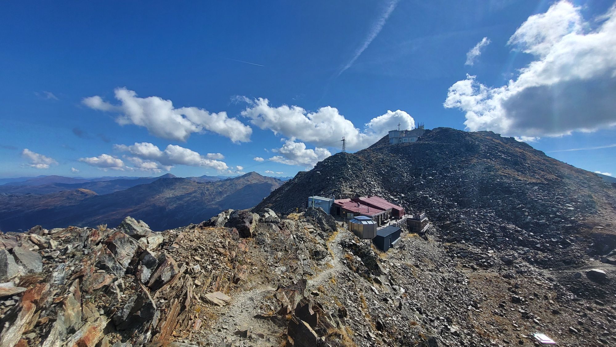
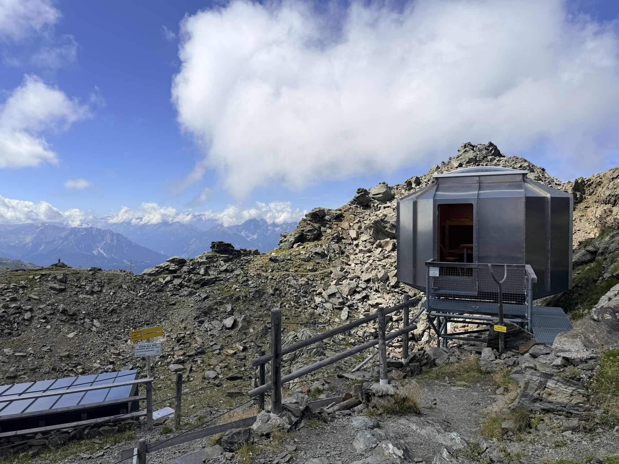
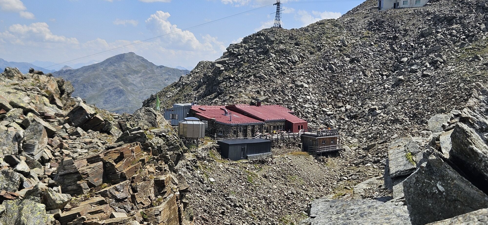
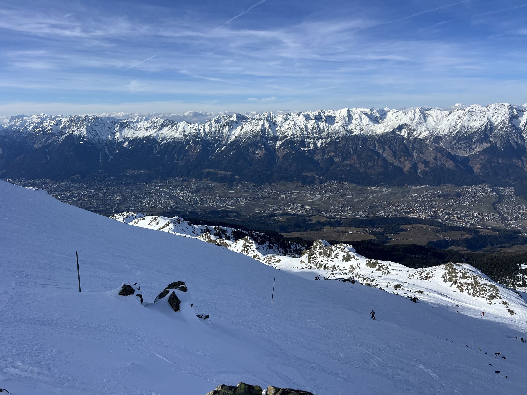
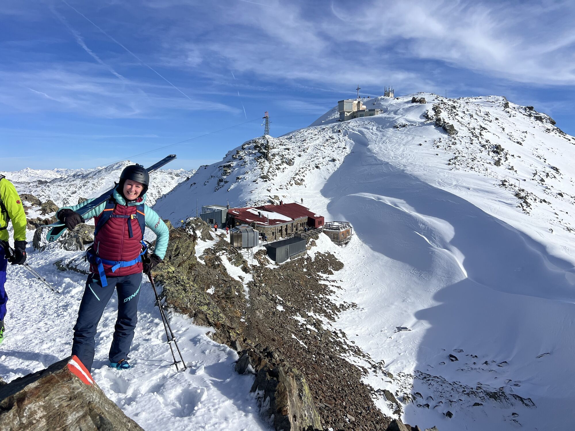
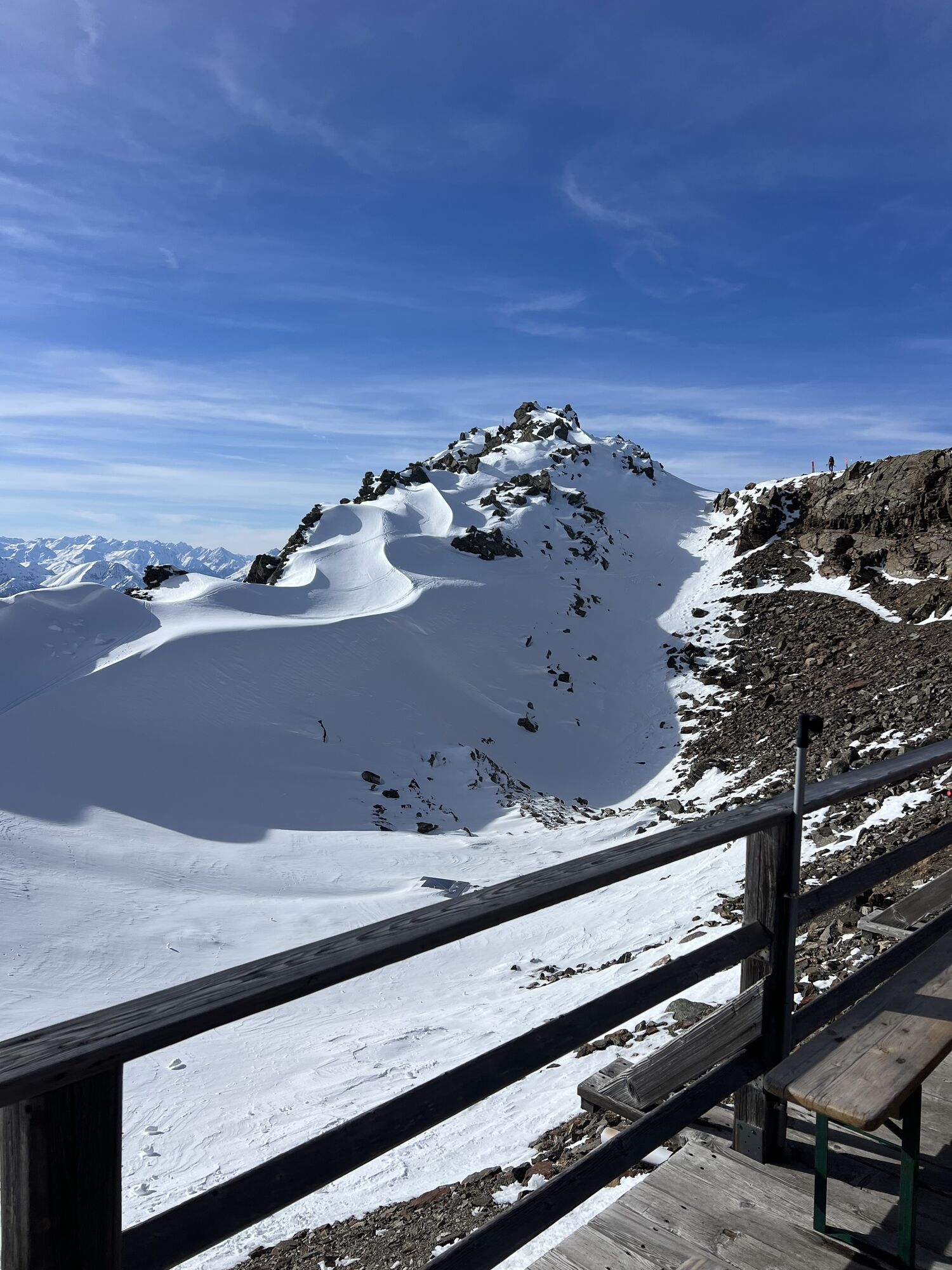
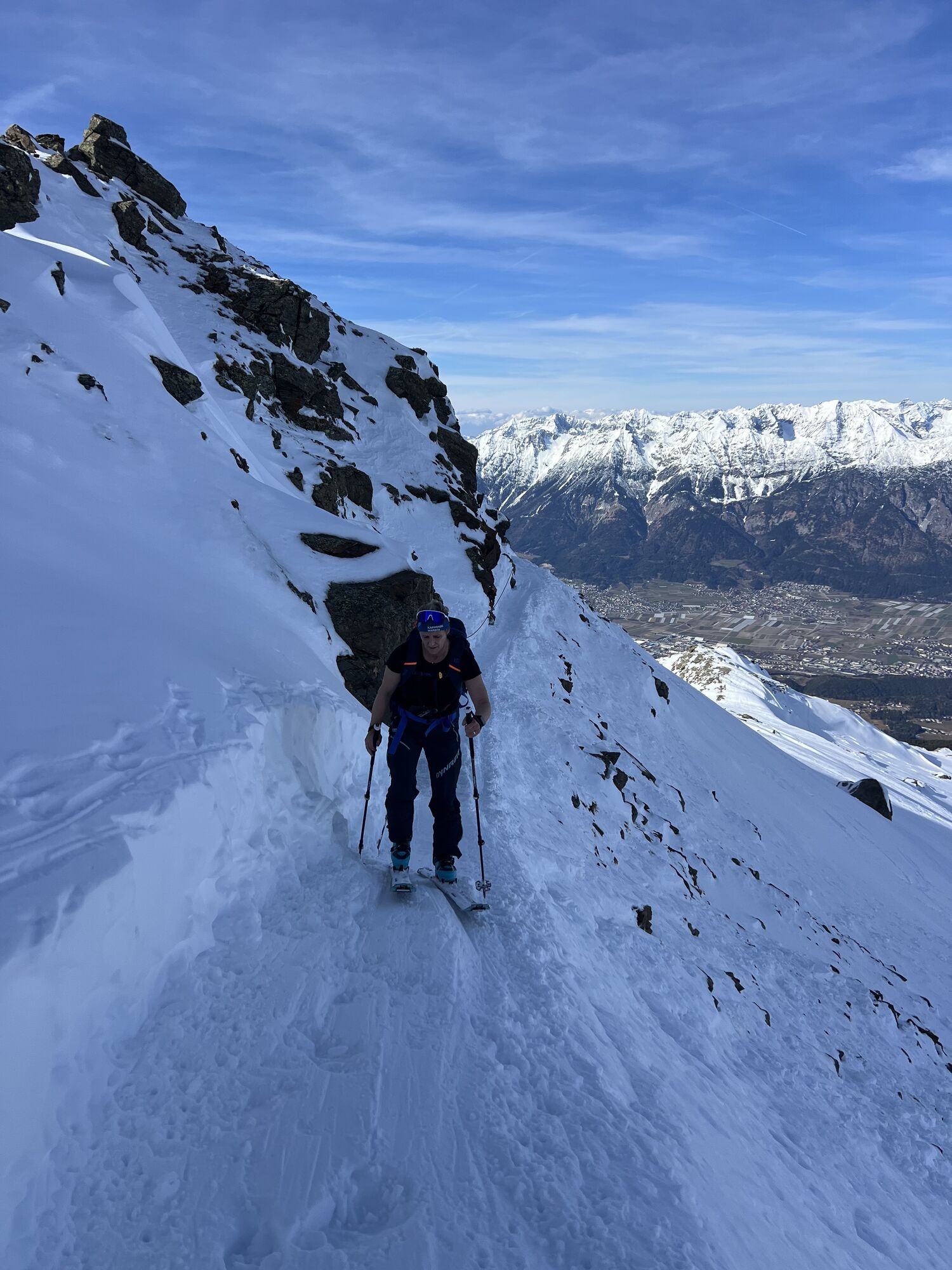
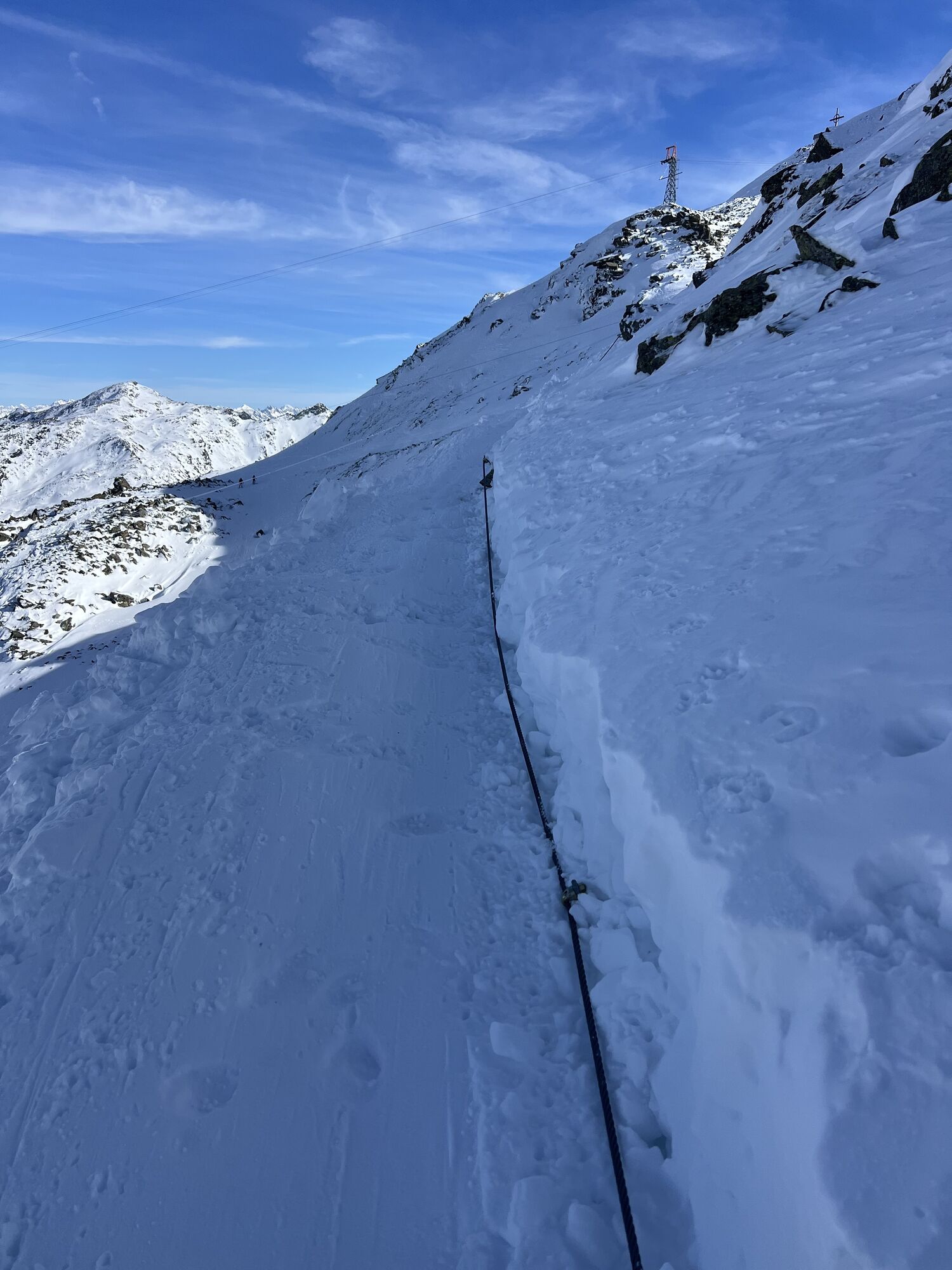
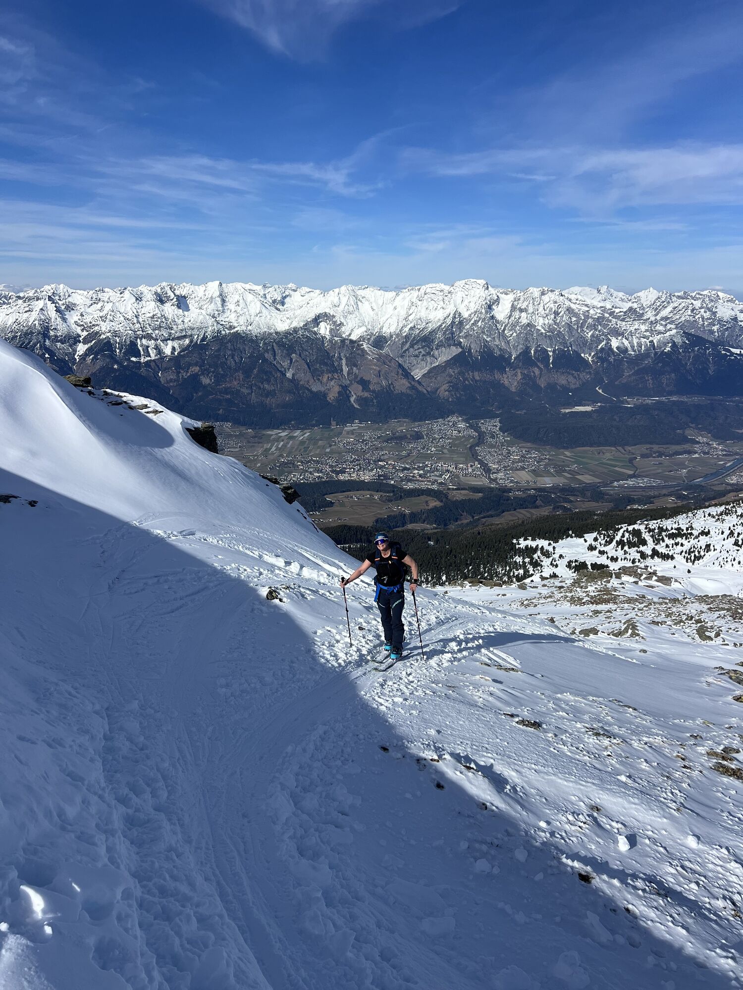
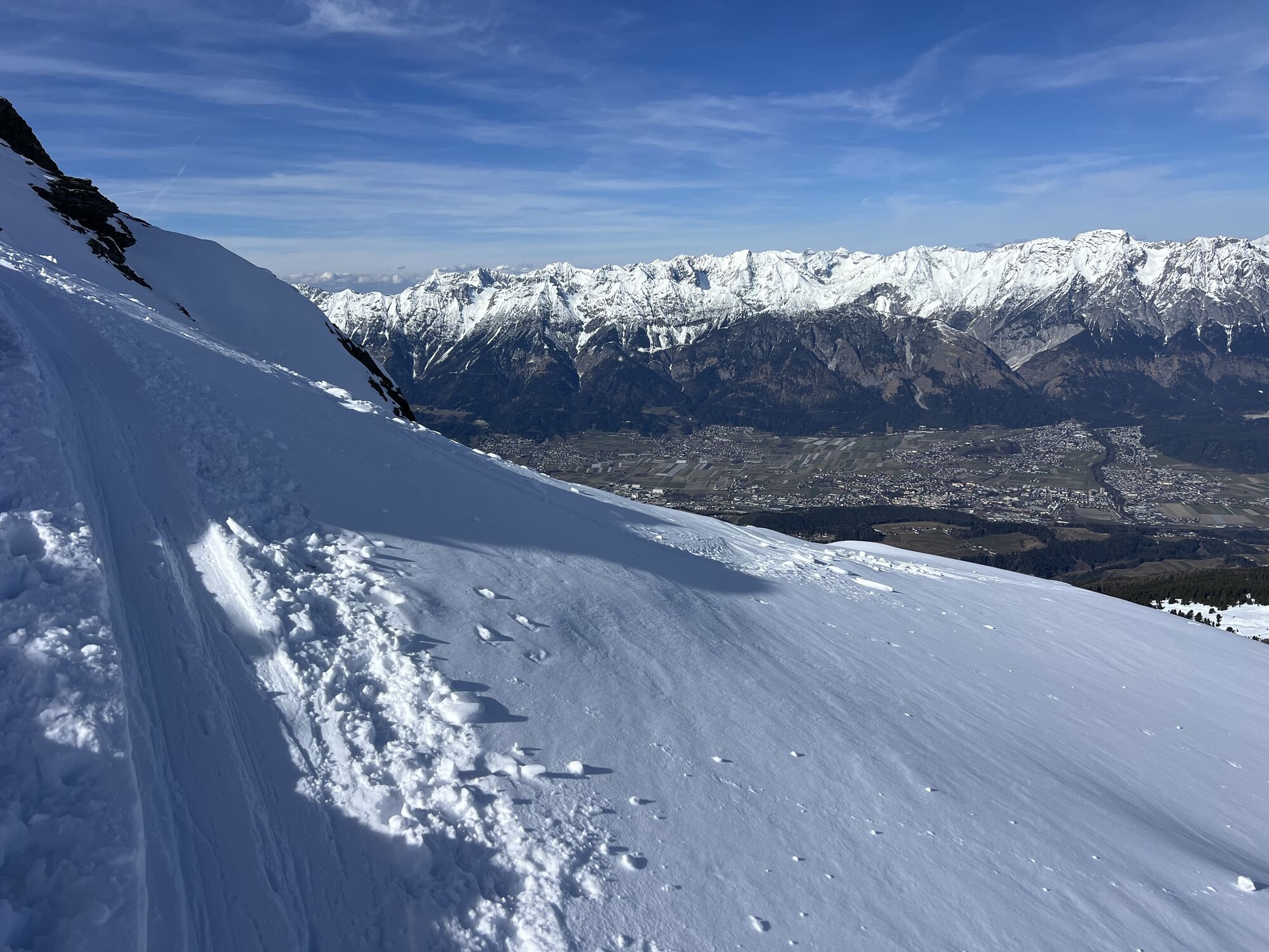
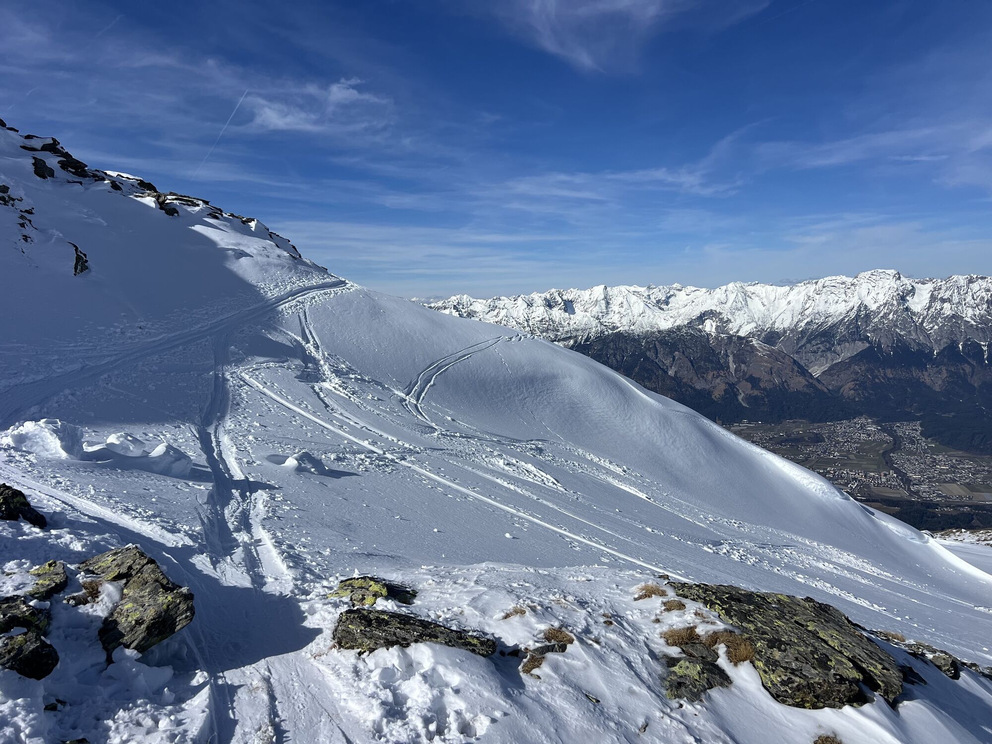
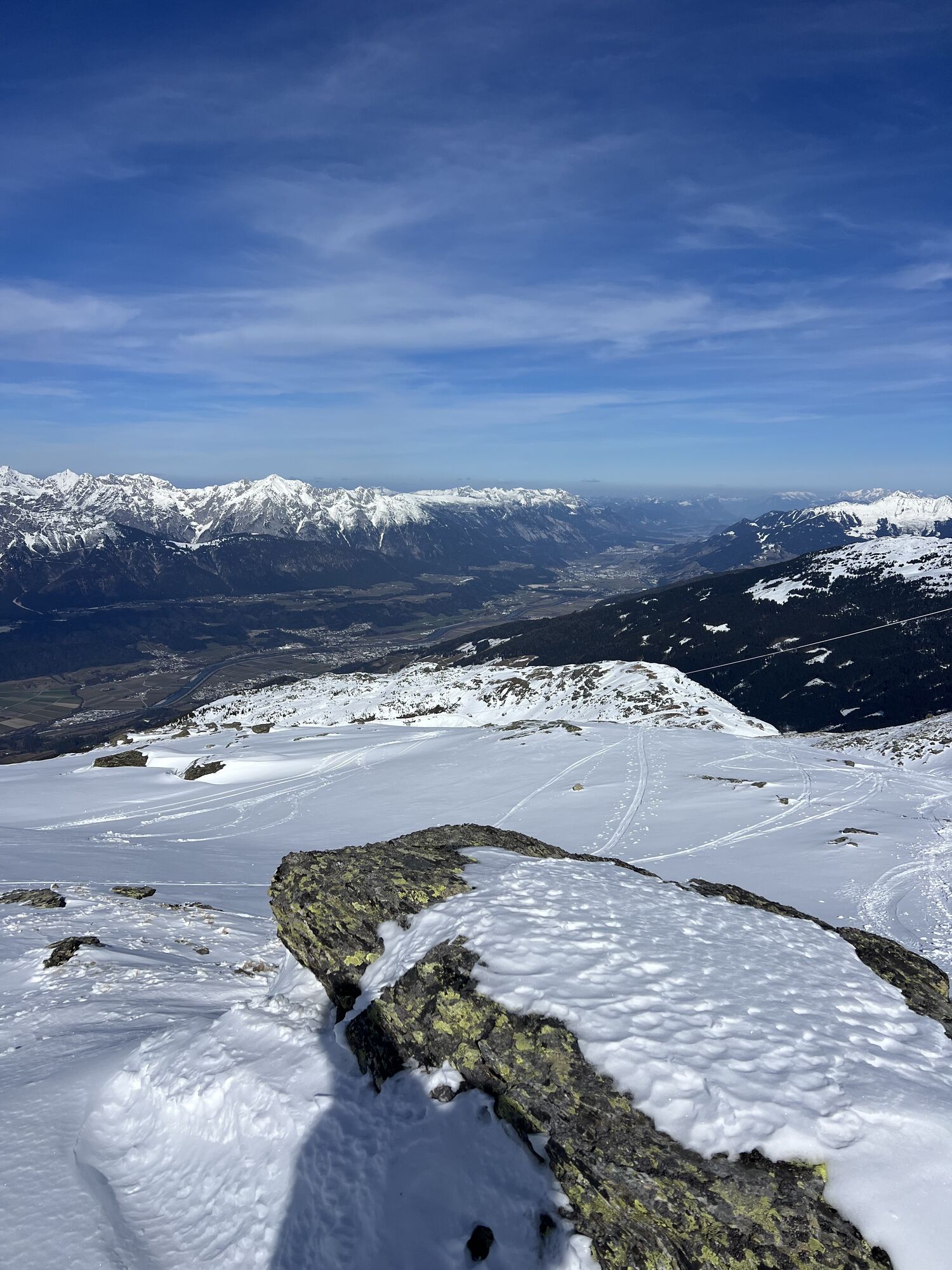
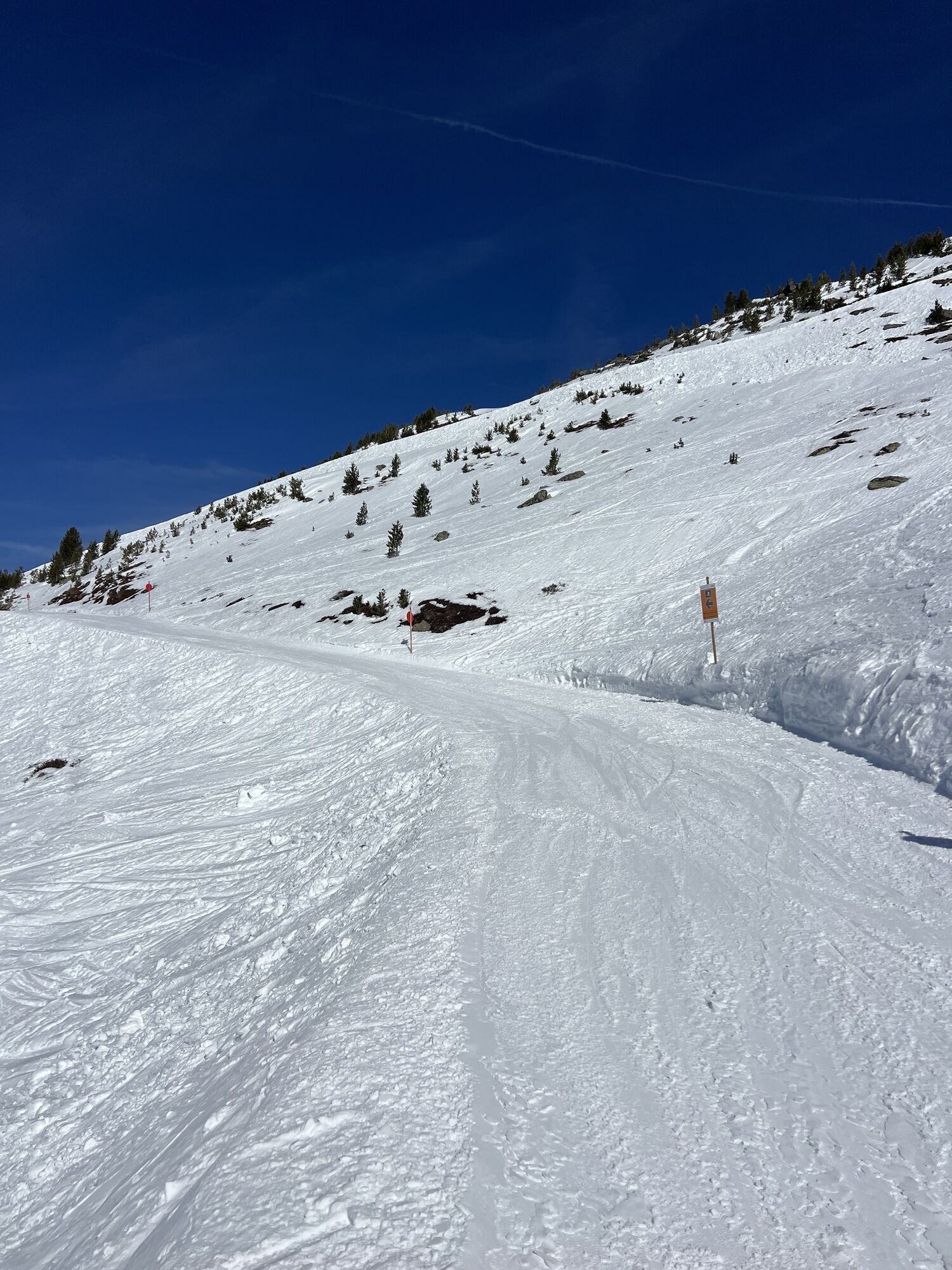
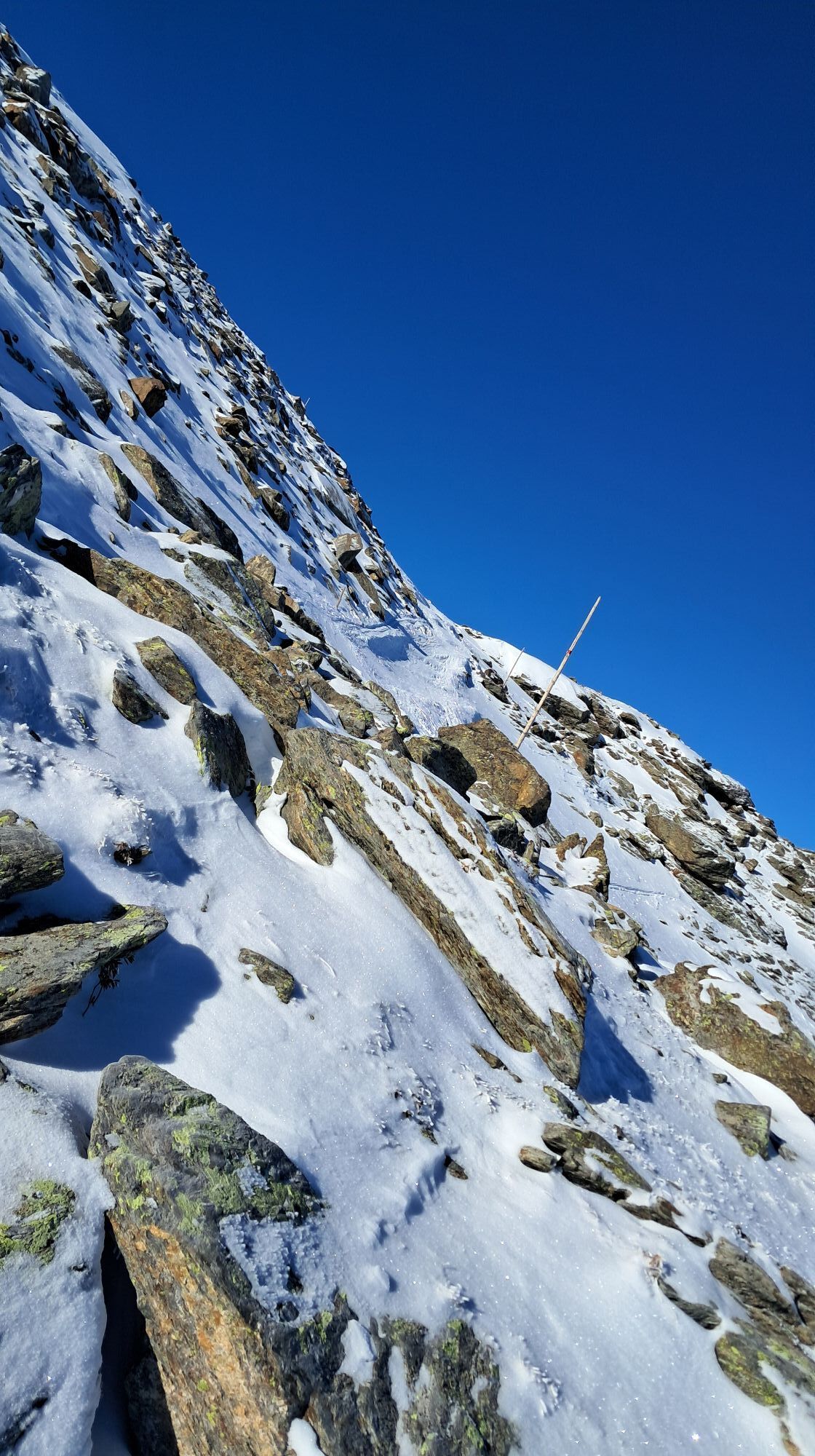
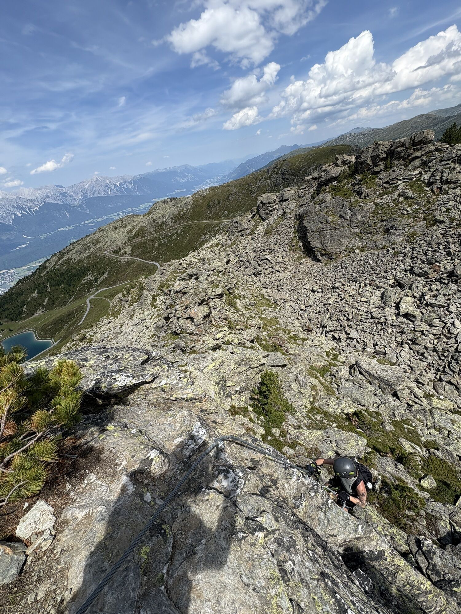
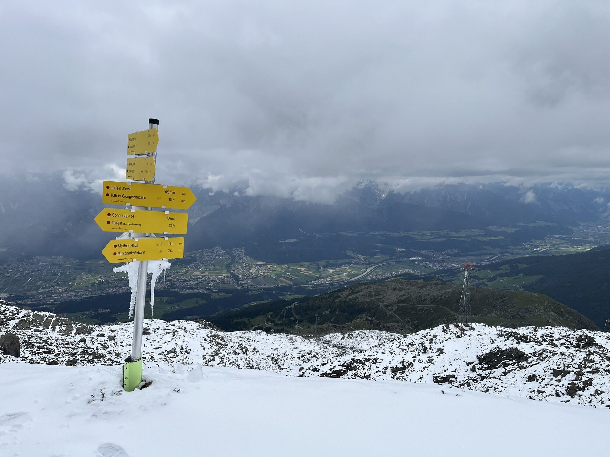
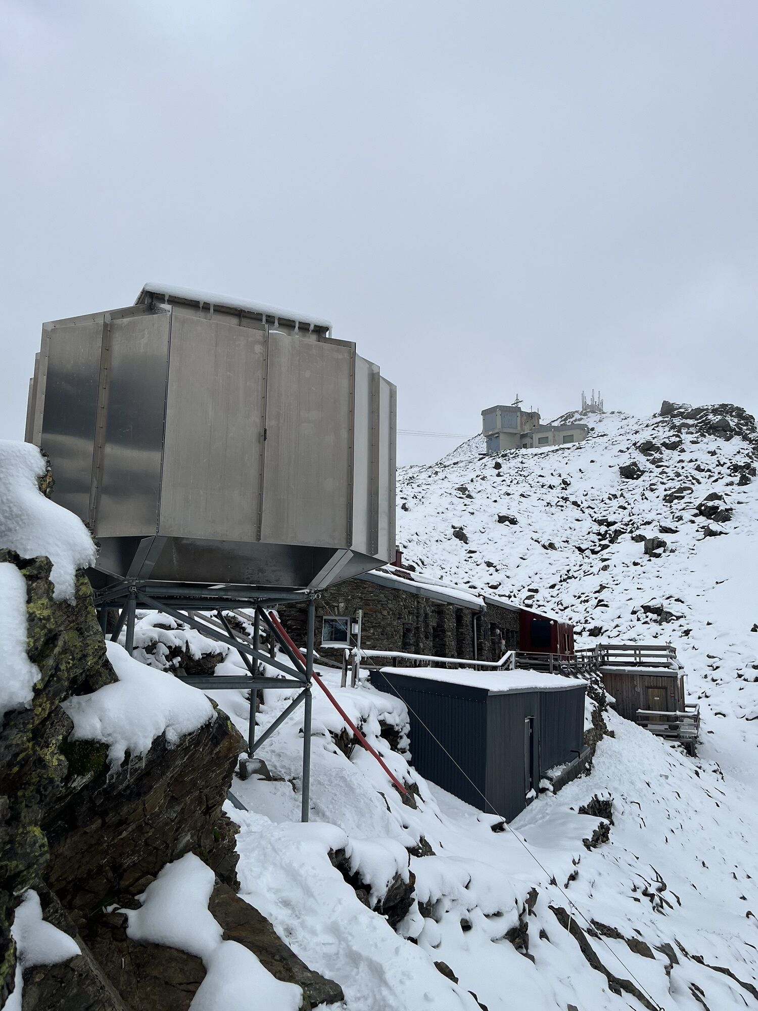
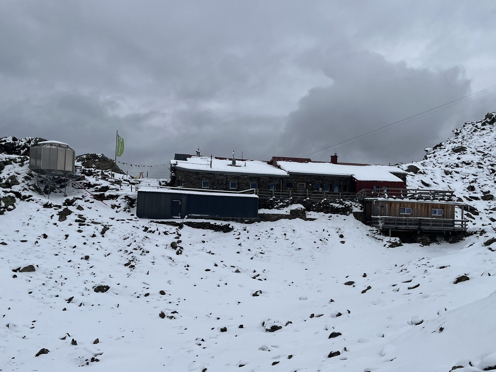
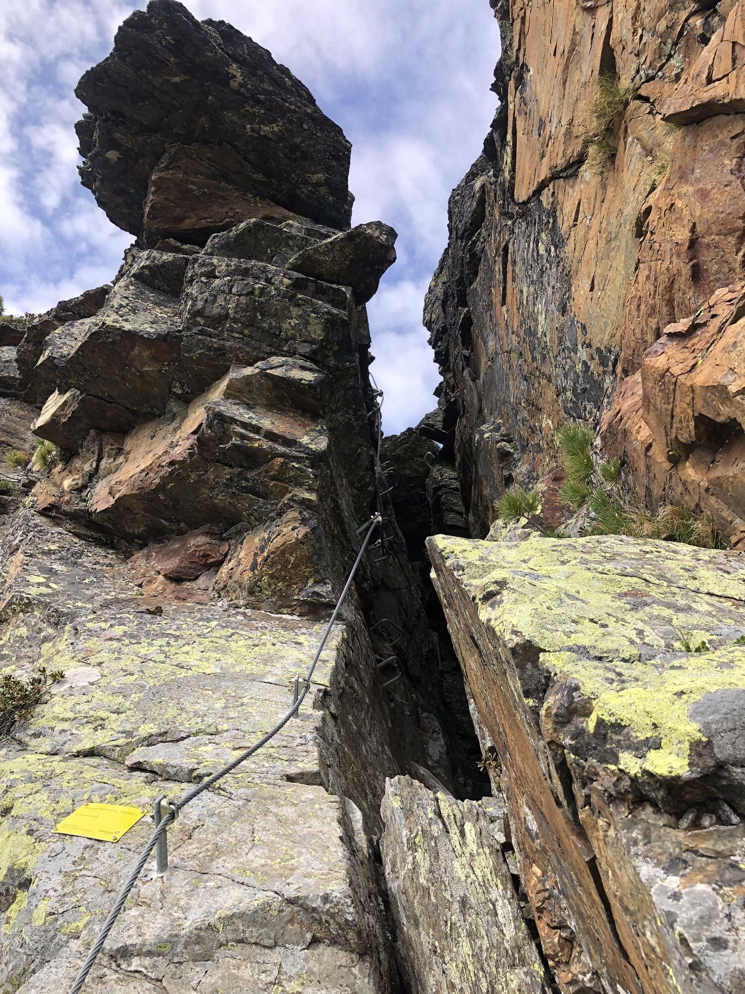
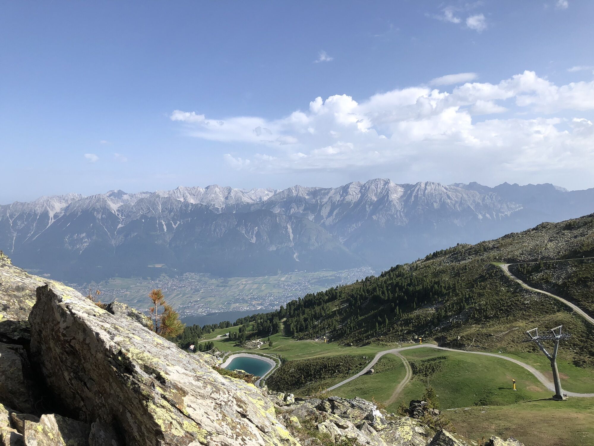
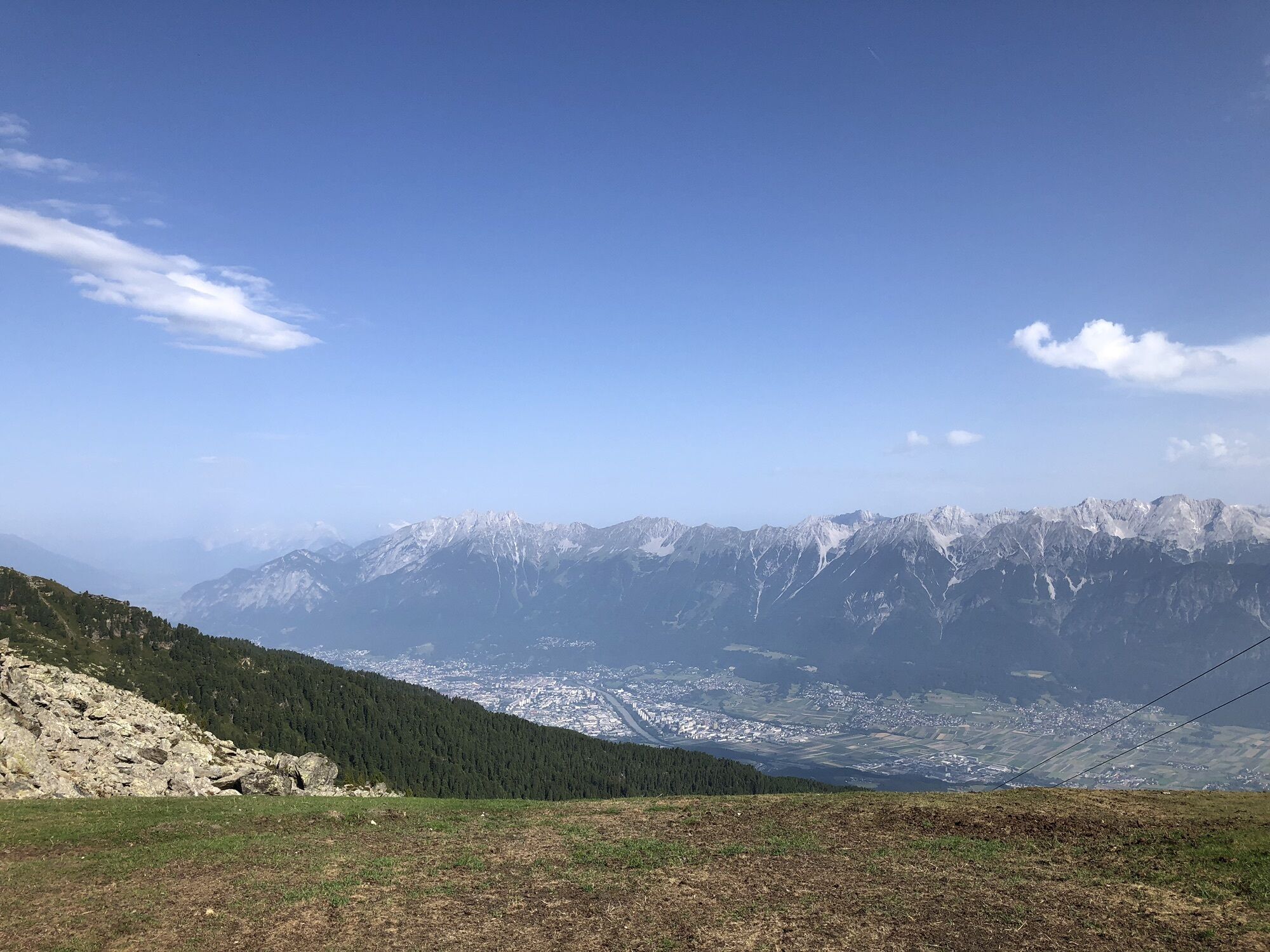
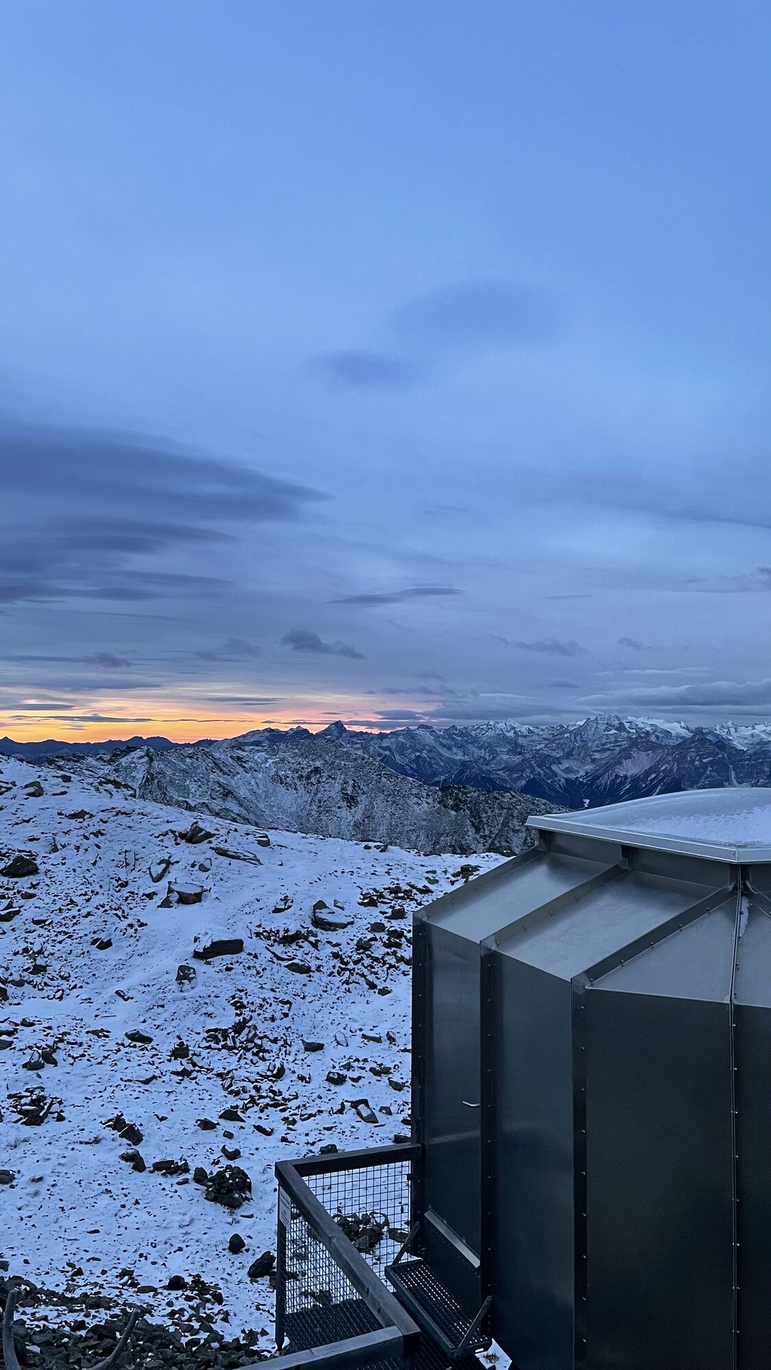
Entry below the Schaferhütte at Tulfeinjöchl. The via ferrata leads over and even "through" some rock blocks to the Glungezer hut at 2,610 m or to the Sonnspitze at 2,639 m.

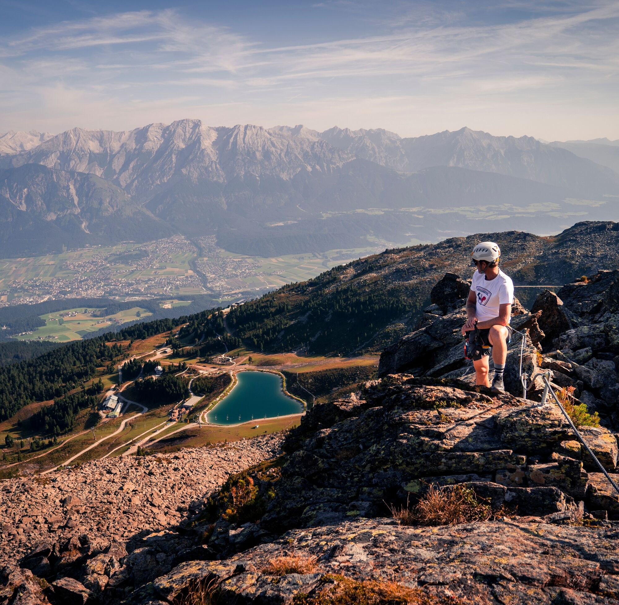
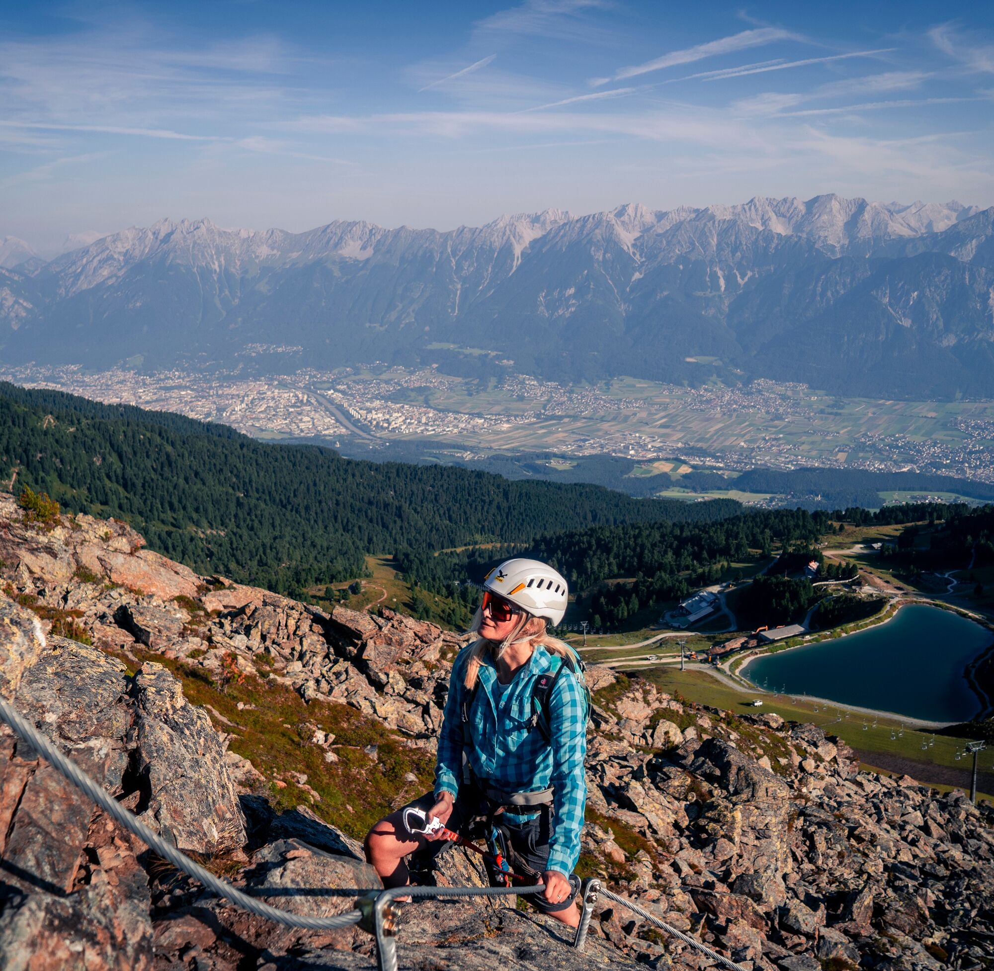
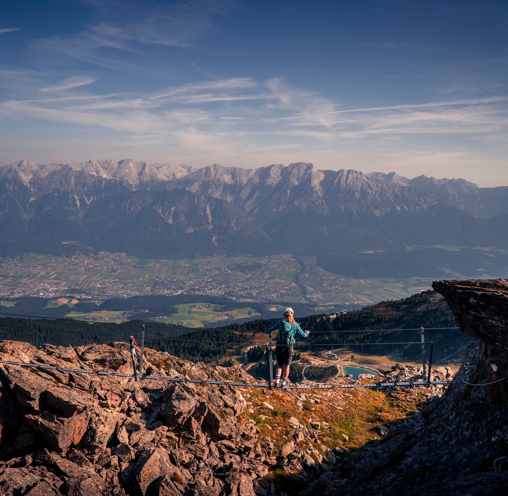
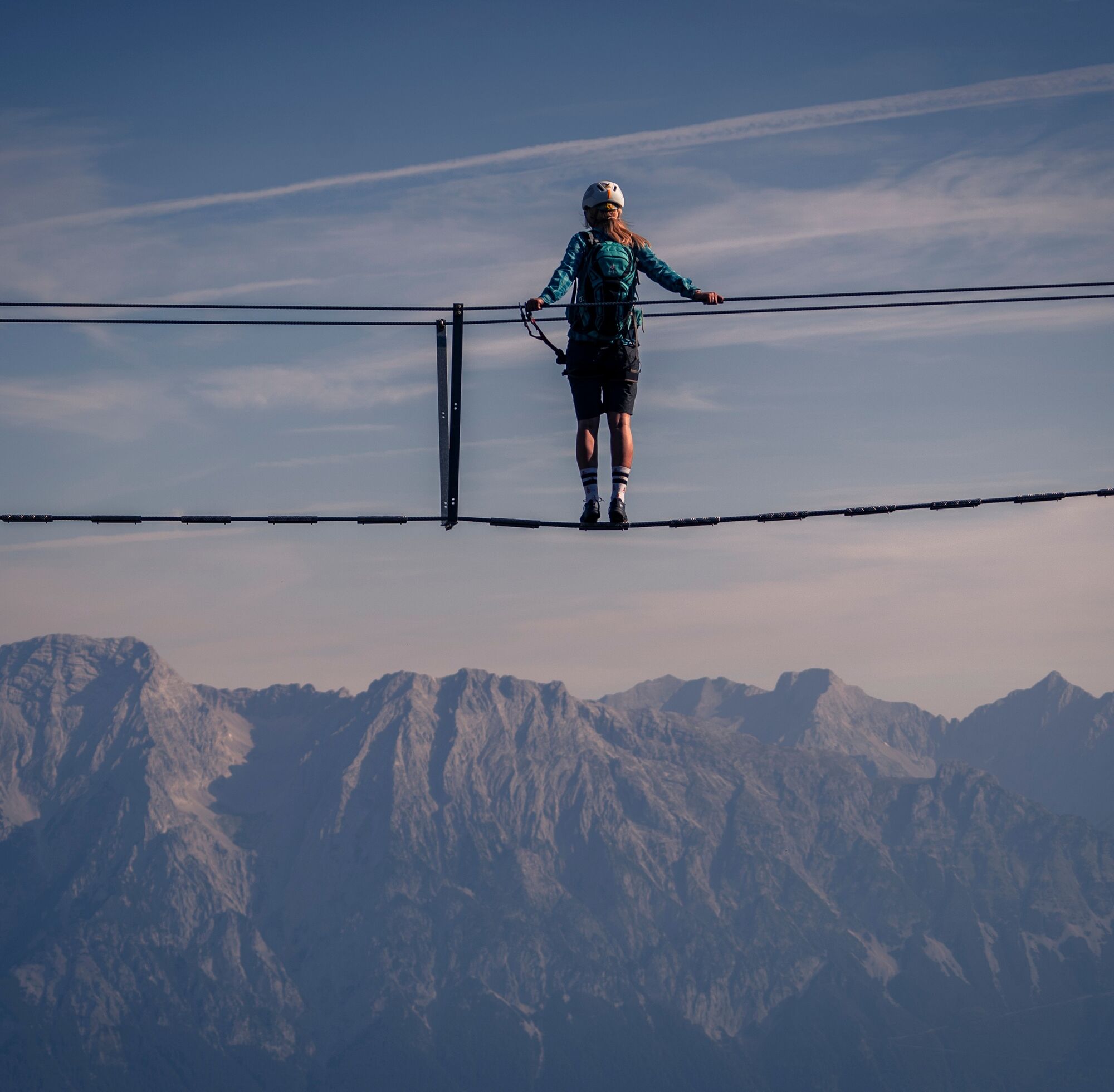
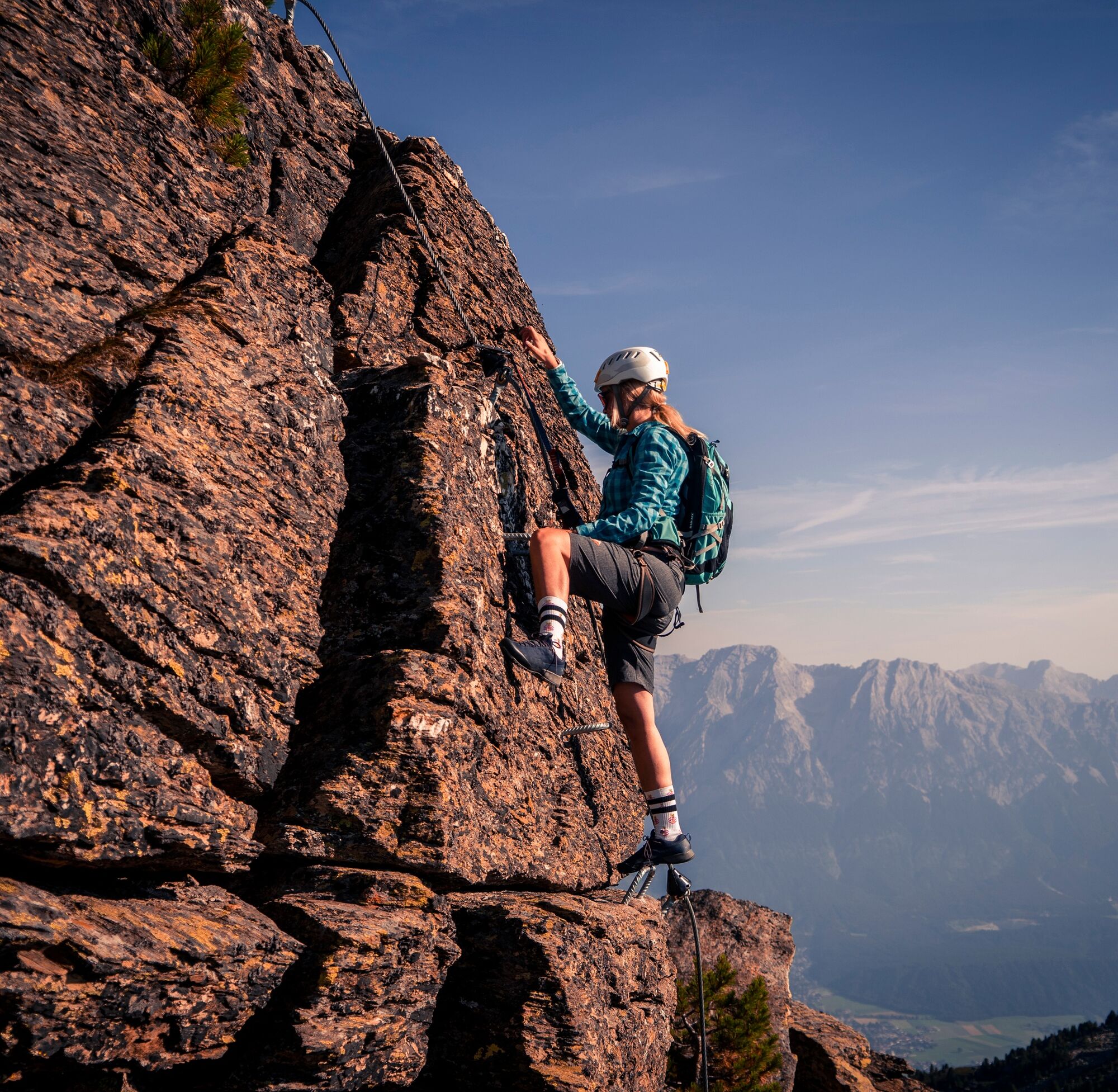
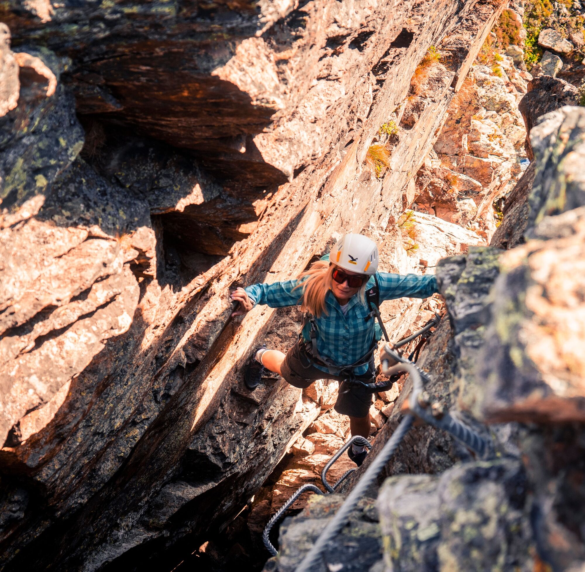
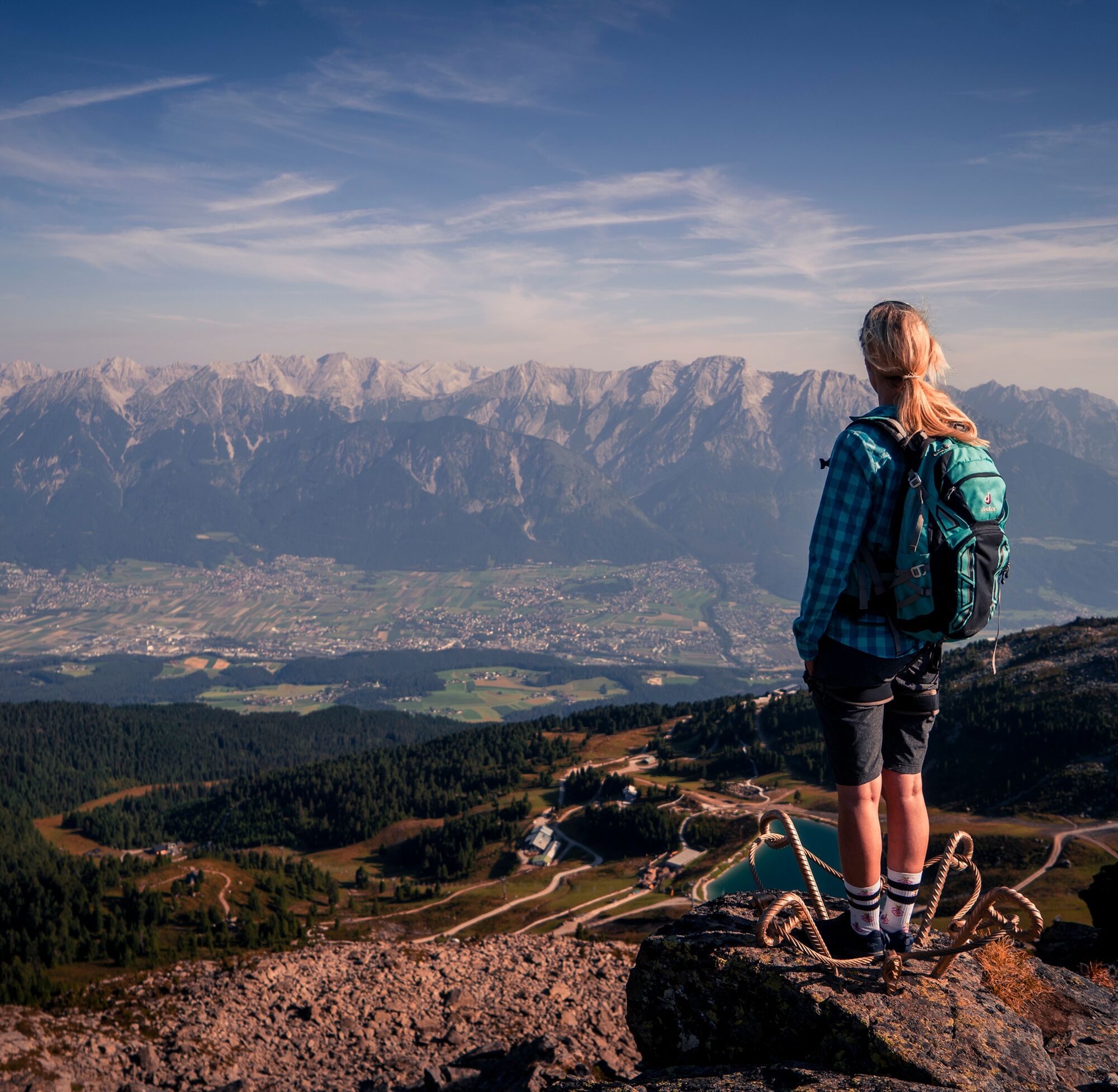

Up over the "practice slab" (A) and then on foot to the first ascent (B/C). After another walking section follows the "King's Balcony," a slab ridge (B, then A and A/B). At the end of the ridge, you descend on the right into a hollow called "Valley of the Enchanted Ptarmigans."
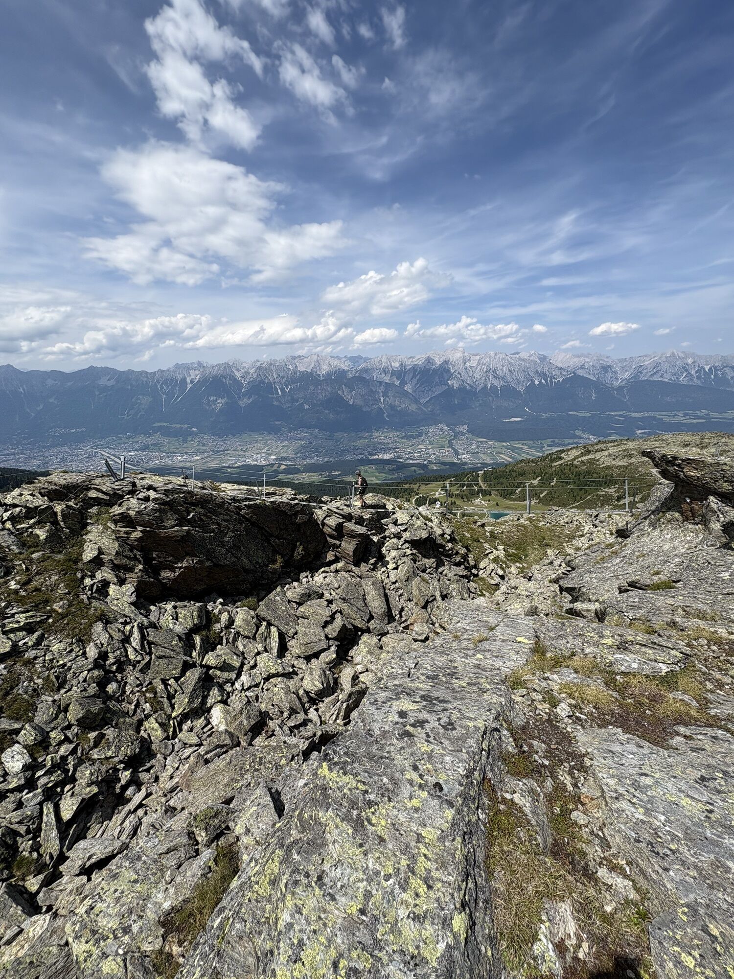
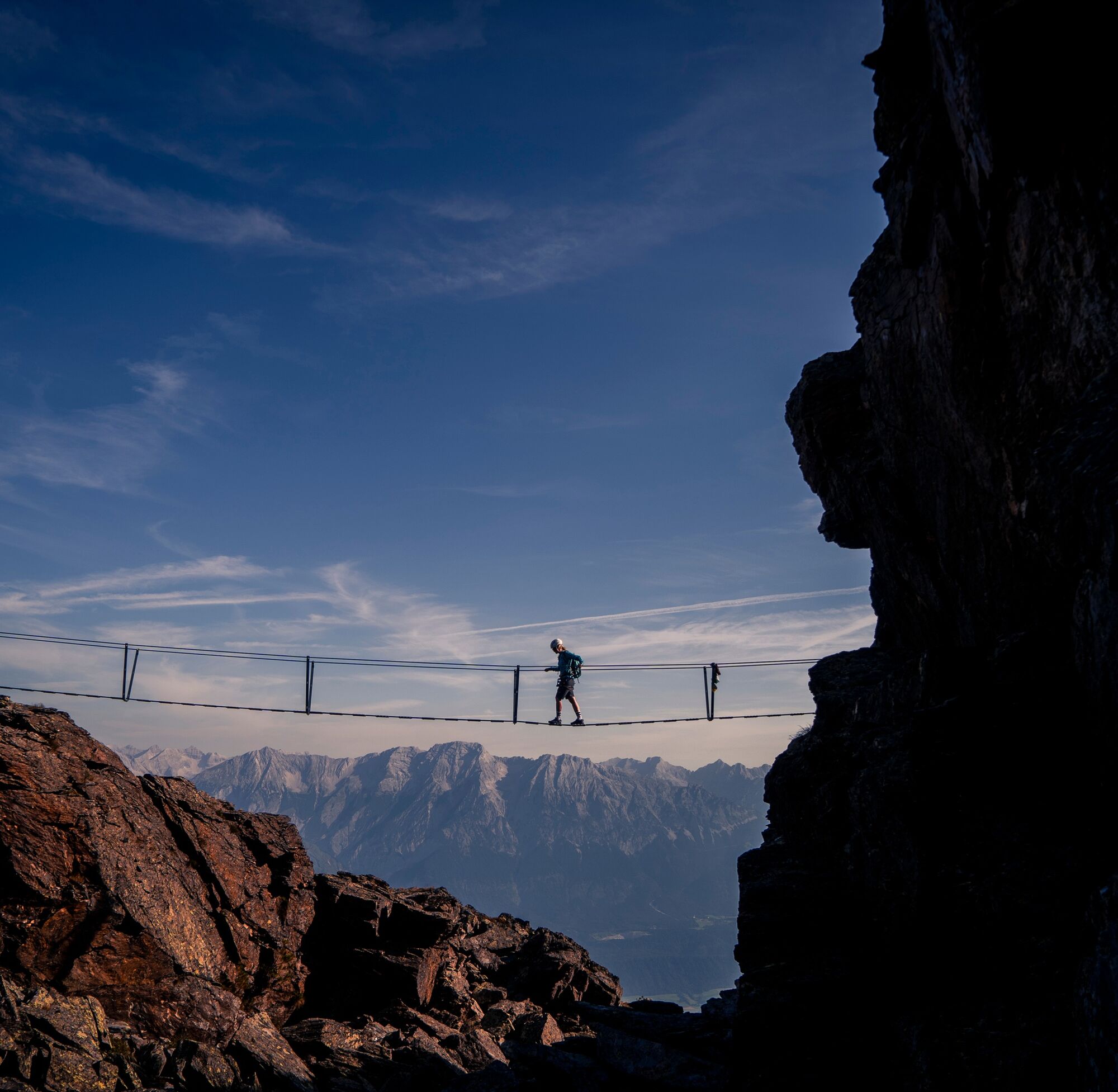
Another slab ridge (A, A/B and briefly B) leads - separated by a short walking section - to the so-called "Snake's Cove." A steep crevice (B) from which you exit to the right and reach flat ground called "the hiding place of the mountain little man." This cave-like crevice (B, A and B) leads you through the mountain. Follow a short walking section and reach a ridge (A/B and A) to the "Princess's crown." Then you reach the 28 m Nepal bridge (A/B and A) on foot - the highlight of the via ferrata.
A longer walking section leads to the "Giant's tooth," which you climb steeply (B/C). After a short walking section, you come to the so-called "Labyrinth," whose entry is marked by the "Giant's hammer." You climb down and then out the other side again (A/B). A longer footpath leads to the "Magic Wall," which is steep (B/C) and smooth, leading to a traverse (A/B). A steep edge (B) leads up to the logbook, and you reach (A) the end of the rope protection. From there, continue left along the stone ridge or to the right next to it to the Glungezer hut, or ascend steeply right to the Sonnspitze.
Ano
Ano
Ano
complete via ferrata equipment required
Hall - Tulfes - Glungezer cable car
Line 540 to Tulfes
Parking lot at the Glungezer cable car
B/C
Ideal via ferrata for beginners!

Webové kamery z prohlídky

Oblíbené prohlídky v okolí
-
4.6
Halltal - Bettelwurfhütte - Kleiner und Großer Bettelwurf
heavyVysokohorská turistika 16.2 km -
4.8
Felix-Kuen via ferrata on the Hundskopf
heavyVia ferrata 2.18 km -
4.9
Patscherkofel Gipfelrunde mit Zirbenweg
světloTuristika 6.52 km -
4.8
Seegrube - Hungerburg
středníTuristika 5.04 km -
4.6
To the scenic Hochmahdkopf
středníTuristika 8.31 km -
4.7
Innsbruck, Götheweg Kar - Pfeishütte - retour
středníTuristika 11.0 km -
4.6
Patscherkofl
středníTuristika 18.5 km -
4.3
Up to the Largoz
středníTuristika 7.01 km -
3.9
To the alpine inn St. Magdalena in the Halltal
středníTuristika 7.24 km -
4.1
Innsbruck/ Igls: Patscherkofel
Mountainbike 14.1 km
Pěší turistika a stopování


Nenechte si ujít nabídky a inspiraci pro vaši příští dovolenou
Vaše e-mailová adresa byl přidán do poštovního seznamu.





