







Hike Oberweißbach - Schwarzburg
This route starts in the picturesque village center of Oberweißbach in the Schwarzatal. From there, it goes uphill to the Heckersberg Hut, from where you can again enjoy views over Oberweißbach and the...
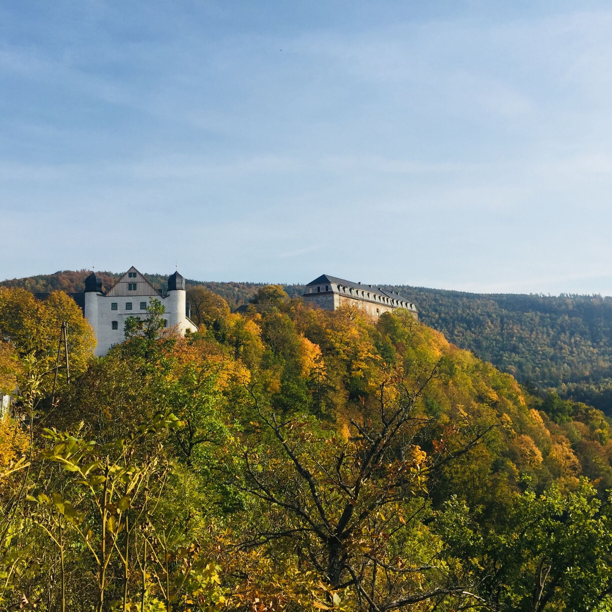
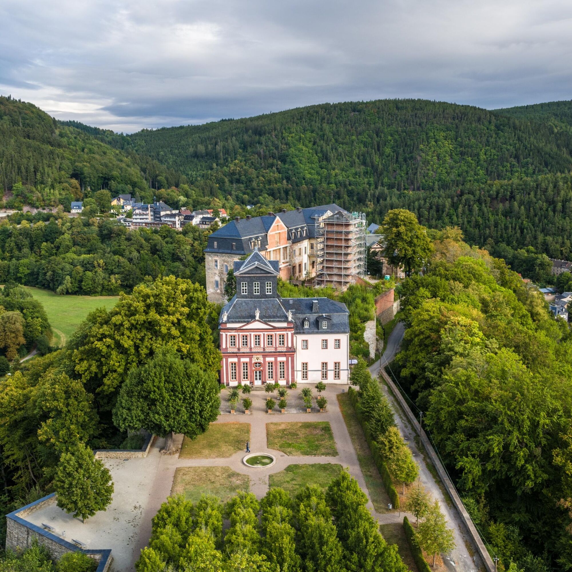
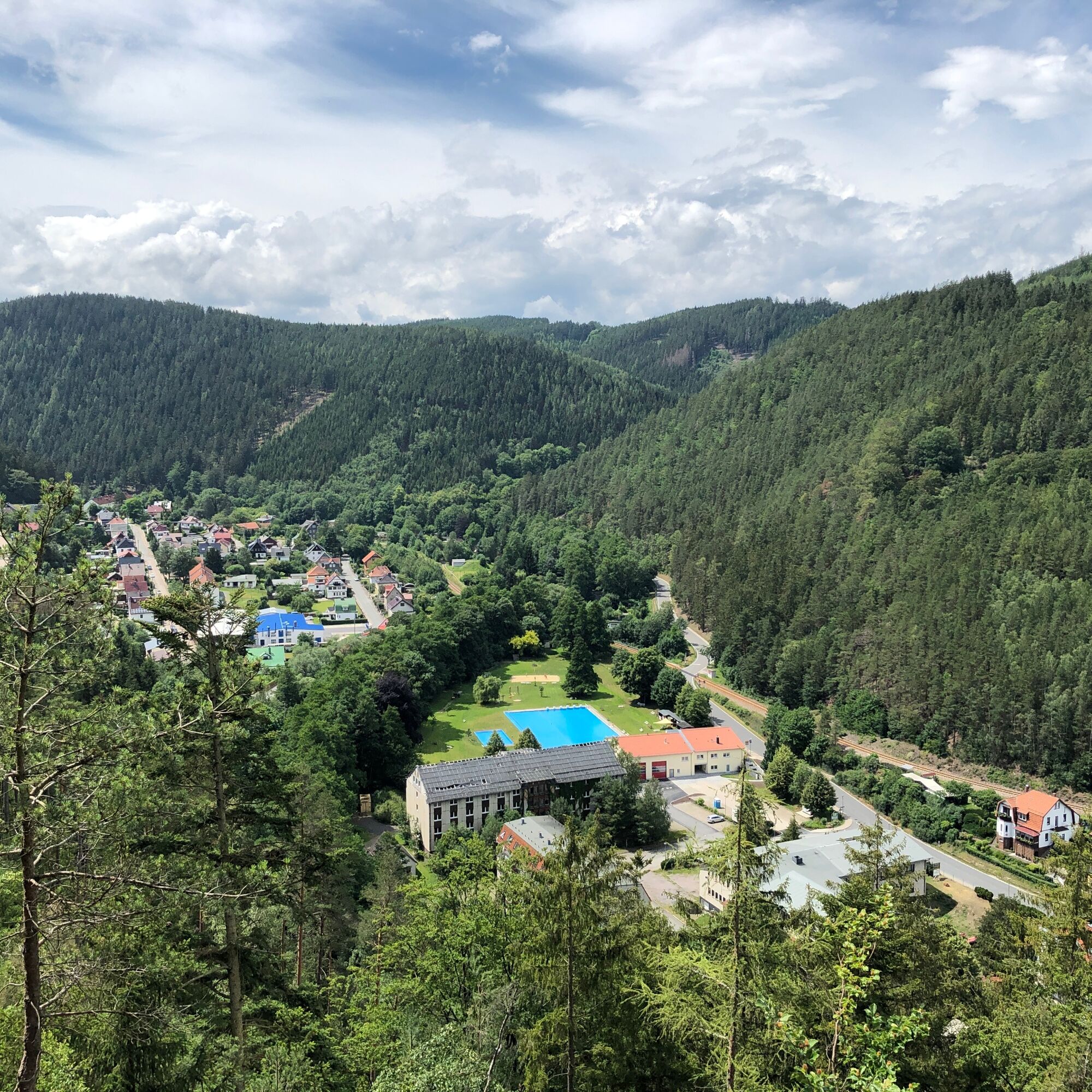
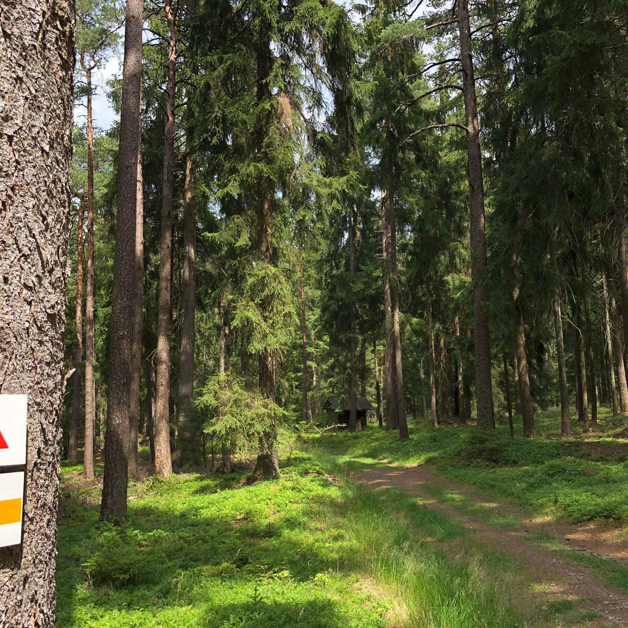
This route starts in the picturesque village center of Oberweißbach in the Schwarzatal. From there, it goes uphill to the Heckersberg Hut, from where you can again enjoy views over Oberweißbach and the surroundings. From here, you first follow the Schwarzatal Panorama Trail past the two viewpoints Dam view and Kupfergrube through the idyllic villages Unterweißbach, Blechhammer, and Sitzendorf. From Sitzendorf, you follow the European long-distance trail E3/EB in the Schwarza valley to the Mariannensteg at the Schwarzburg outdoor pool. Here, you cross the Schwarza on one of two suspension bridges in all of Thuringia and climb up to the castle. A highlight of the route is the visit to Schwarzburg Castle. Here you can experience a piece of Thuringian history.


Oberweißbach - Digital Herb Trail - Leibis-Lichte Dam - Unterweißbach - Blechhammer - Sitzendorf - Schwarzburg
Ano
sturdy footwear
rainwear
first aid kit
GPS device or smartphone
drinks
Always stay on the designated hiking trails and be aware of typical forest hazards.
From motorway A 17 exit 15 Ilmenau East.
Then via B88 to Pennewitz, from there on L1144 via Mellenbach-Glasbach to Oberweißbach
By Deutsche Bahn to Sitzendorf-Unterweißbach.
From there with Kombus Bus line 313 to Oberweißbach.
Parking lot Am Fröbelturm
Google Nav point
Local contact:
Markt 1098744 Schwarzatal OT Oberweißbach
036705-62123
Central contact:
Tourist and Service Center (Main entrance town hall)
Bahnhofstr. 23 | 07422 Bad Blankenburg
03 67 41 - 26 67
Digital Herb Trail
Získejte přehled
Vždy živě na místě s více než 9 500 webkamerami. bergfex Jako uživatel Pro si nyní můžete zobrazit odpovídající webové kamery pro mnoho prohlídek v aplikaci prohlídky z. Můžete si tak přímo prohlédnout aktuální podmínky.
Oblíbené prohlídky v okolí
-
4.8
Circular hiking trail - "To the most beautiful viewpoints" - Thuringian Forest
středníTuristika 12.8 km -
4.5
Circular route - “To the Strudel pots of the Schwarza” - Starting point at the Chrysopras weir - Bad Blankenburg
středníTuristika 9.01 km -
Circular hiking trail - "Sculpture Trail" - Hiking start Unterweißbach - Thuringian Forest
středníTuristika 24.4 km -
Circular hike - "Friedrich Fröbel" - Bad Blankenburg
heavyTuristika 14.4 km -
5.0
Circular route 5 - Neustadt am Rennsteig - Thuringian Forest
středníTuristika 8.50 km -
5.0
Meurasteine, Talsperre Leibis-Lichte
středníTuristika 13.4 km -
Circular trail - Saugartenpfad - Hiking start at Chrysopraswehr - Bad Blankenburg
středníTuristika 8.39 km -
Panoramaweg Schwarzatal - Stage 1 Schwarza to Schwarzburg - Thuringian Forest
heavyTuristika 15.4 km -
5.0
Circular hiking trail - Nature educational path Lichtenhain - Hiking start Lichtenhain
středníTuristika 8.08 km -
Circular hiking trail - To the Leibis/Lichte drinking water reservoir - Hiking start Lichtenhain
středníTuristika 12.7 km
Pěší turistika a stopování


Nenechte si ujít nabídky a inspiraci pro vaši příští dovolenou
Vaše e-mailová adresa byl přidán do poštovního seznamu.





