







Circular hiking trail - To the Leibis/Lichte drinking water reservoir - Hiking start Lichtenhain
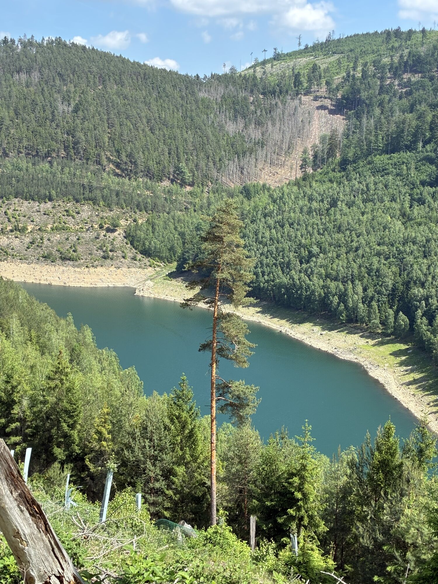
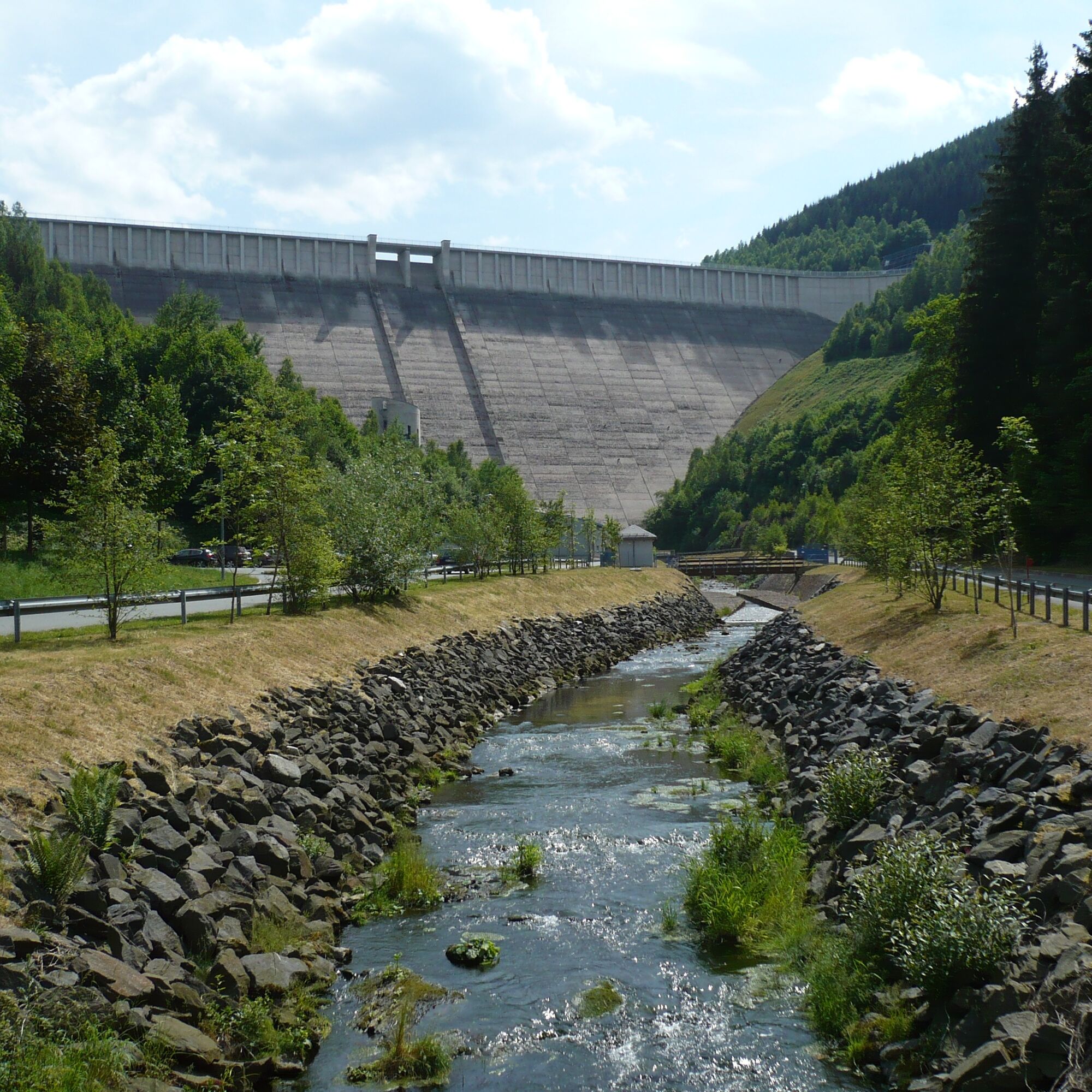
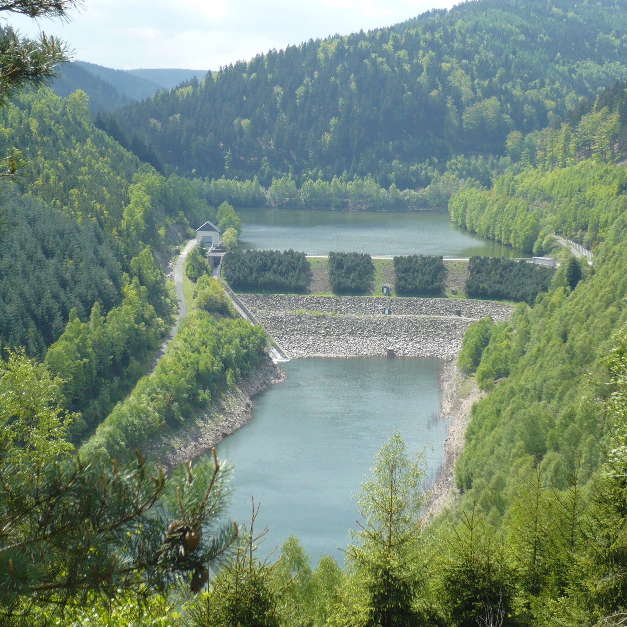
East of Oberweißbach, separated by the approximately 800 m high ridge of the Kirchberg, the Leibis-Lichte drinking water reservoir was built after the turn of the millennium. Situated amidst the mountains...
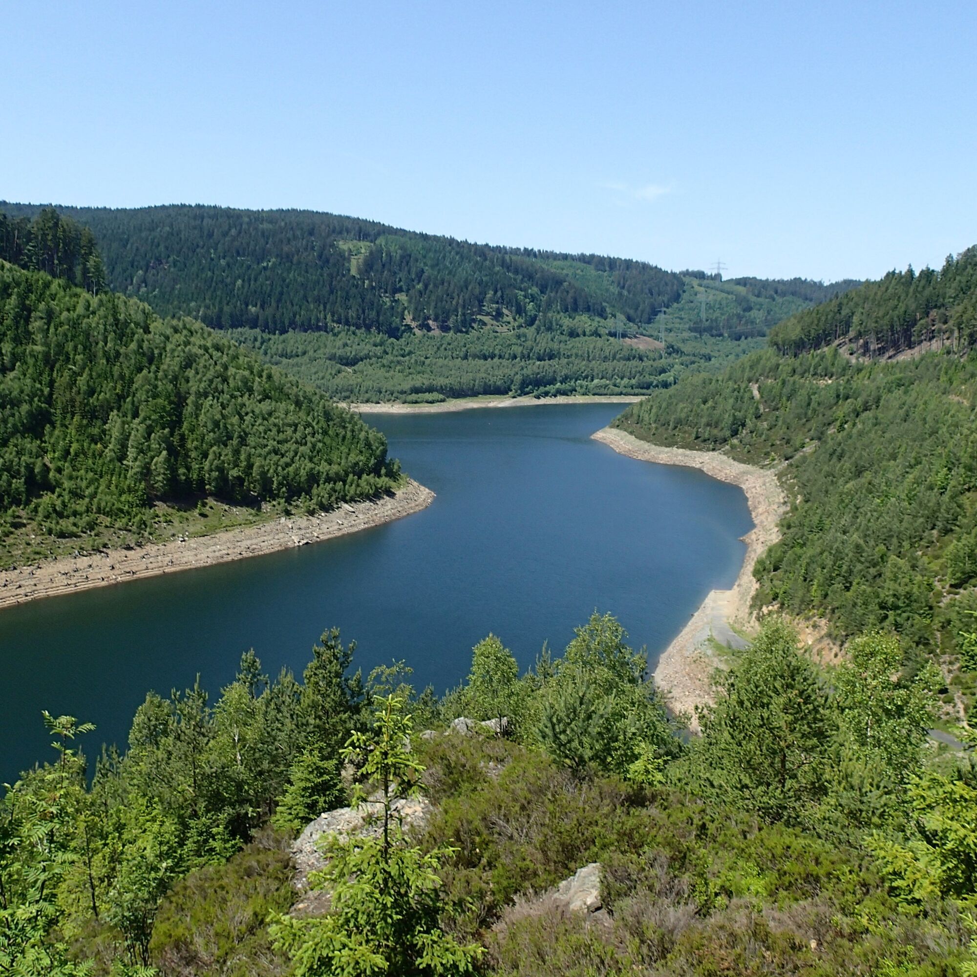
East of Oberweißbach, separated by the approximately 800 m high ridge of the Kirchberg, the Leibis-Lichte drinking water reservoir was built after the turn of the millennium. Situated amidst the mountains and forests of the Lichte valley, it is a rewarding hiking destination from all sides. The path leads from Lichtenhain through Unterweißbach to the reservoir and back through Deesbach and Oberweißbach to Lichtenhain. The view from the Urian rock over the reservoir and the fore-reservoir is among the most beautiful views of the impressive reservoir landscape.
Hiking stamps On these circular routes, you can collect digital hiking stamps for your personal hiking certificate. At the marked stamp locations, scan the respective QR code with your smartphone and add the location to your stamp account via the generated link. You can also collect the hiking stamps without a smartphone. Instructions can be found on site on the QR code signs. All stamp locations are directly on the trail!
And the special thing:
The KomBus hiking buses will take you quickly and comfortably to the starting point of your hike!

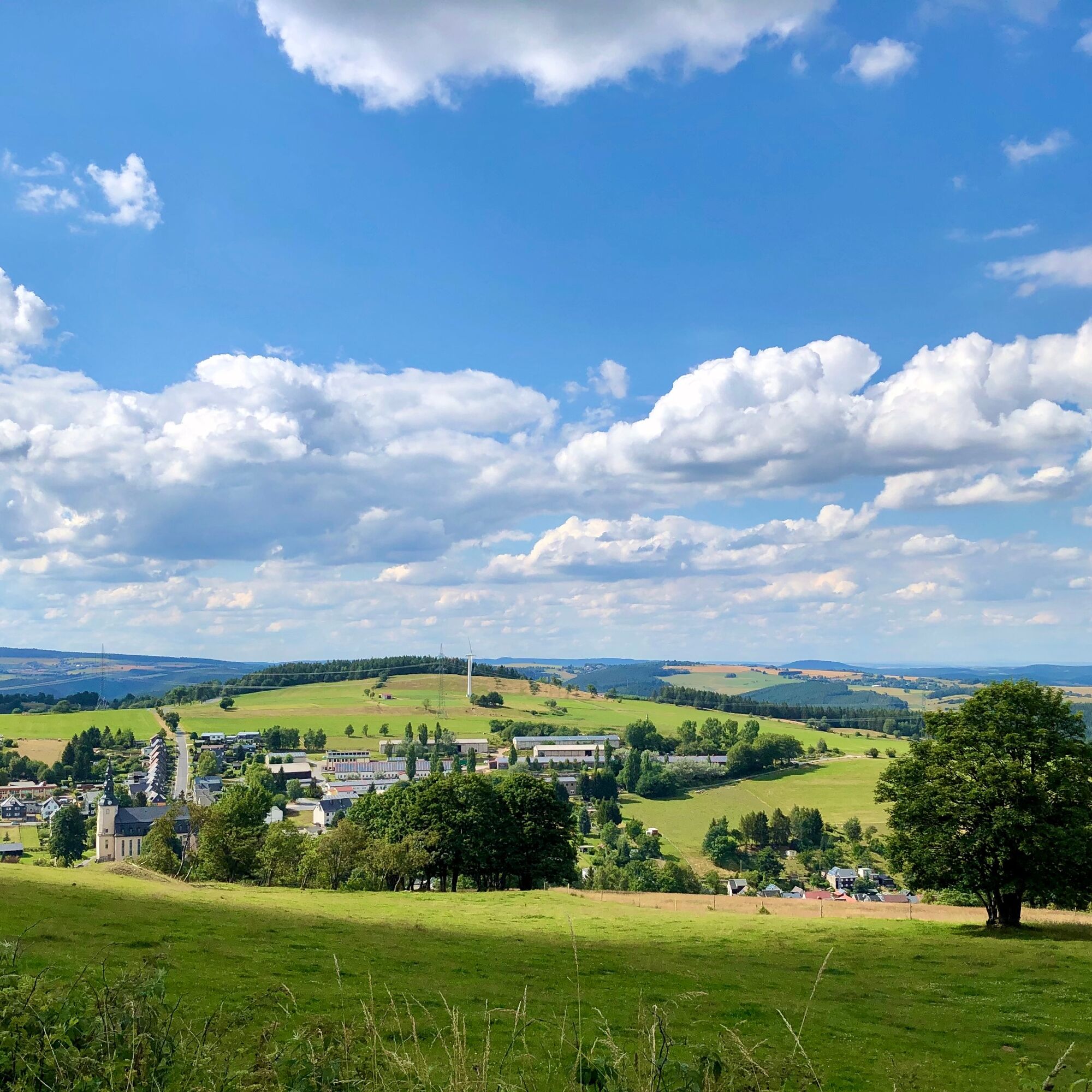
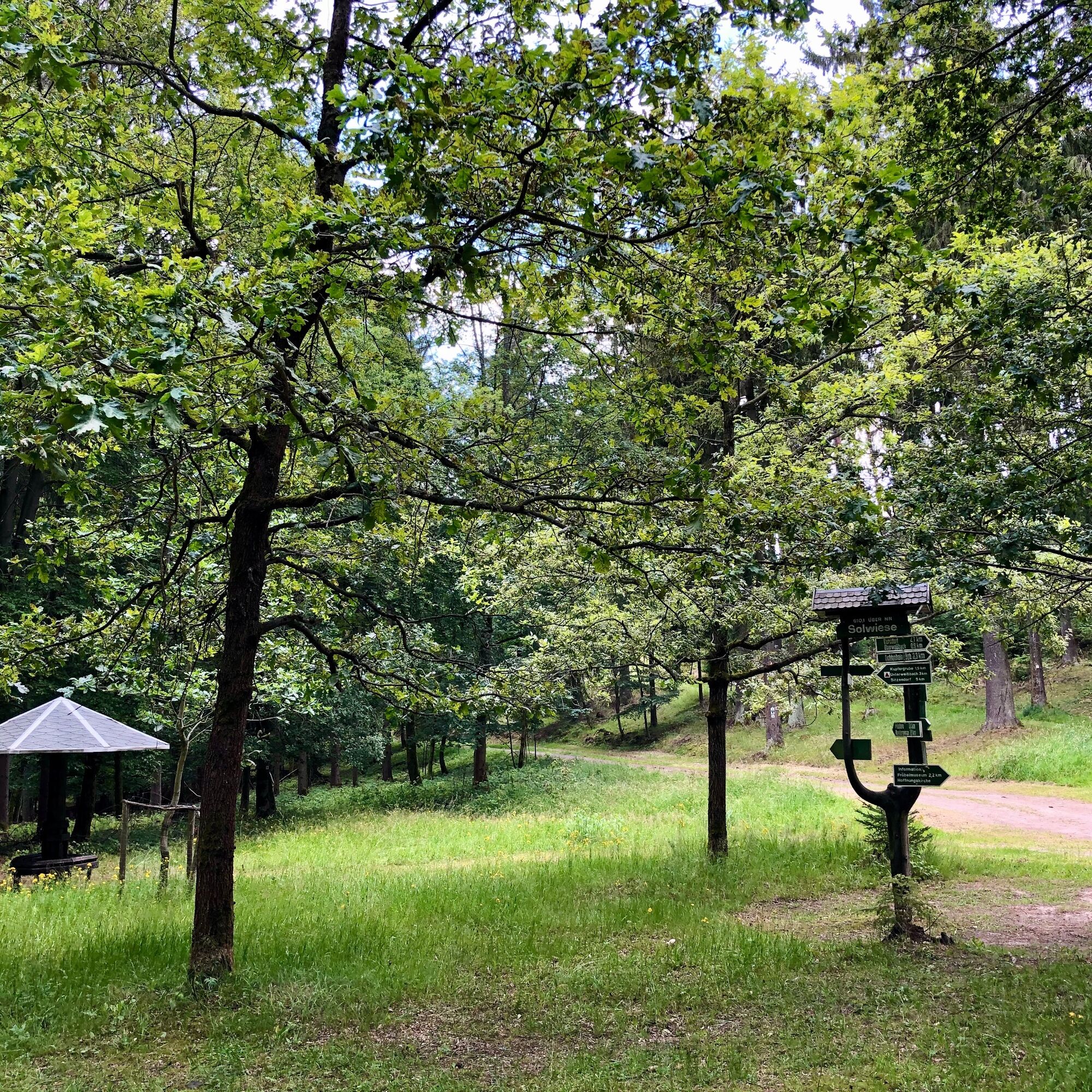

Wanderstart – Dog Training Ground – Oberweißbach – Solwiese – Urian – Deesbach – Flat Section Mountain Railway – Wanderstart
Sturdy footwear
Rainwear
First aid kit
GPS device or smartphone
Drinks
Always stay on the designated hiking trails and watch out for typical forest hazards.
Coming from the A71, exit 15 Ilmenau - East, then continue on B88 to Pennewitz. Turn right onto Herschdorfer Straße L 1144. Follow the road through Mellenbach to Lichtenhain to the Oberweißbacher mountain railway station.
Coming from the A73, exit 5 (Eisfeld-North) and continue on the B281 towards Neuhaus am Rennweg. After passing through Neuhaus am Rennweg, take the third exit left at the roundabout towards Oberweißbach / Lichtenhain.
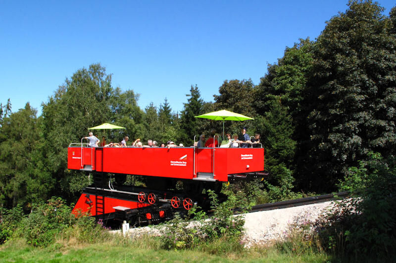
You can reach Lichtenhain by trains of the Oberweissbacher Mountain and Schwarzatal Railway . From Obstfelderschmiede (Schwarzatal), the journey starts with a funicular railway up to Lichtenhain.
You can also conveniently use the Deutsche Bahn travel information service . Enter Lichtenhain as the destination.
Alternatively, Lichtenhain is also accessible by bus. The KomBus GmbH serves the town with line 313. These connections are also included in the Deutsche Bahn search results.
Parking lot at the Lichtenhain mountain railway station Google NAV Point
Local contact
Tourist Information / Memorial Museum
Markt 10 / 98744 Oberweißbach
Tel.: 036705 - 62123
Central contact
Tourist and Service Center
(Main entrance Stadthalle)
Bahnhofstr. 23 | 07422 Bad Blankenburg
Tel. 03 67 41 - 26 67
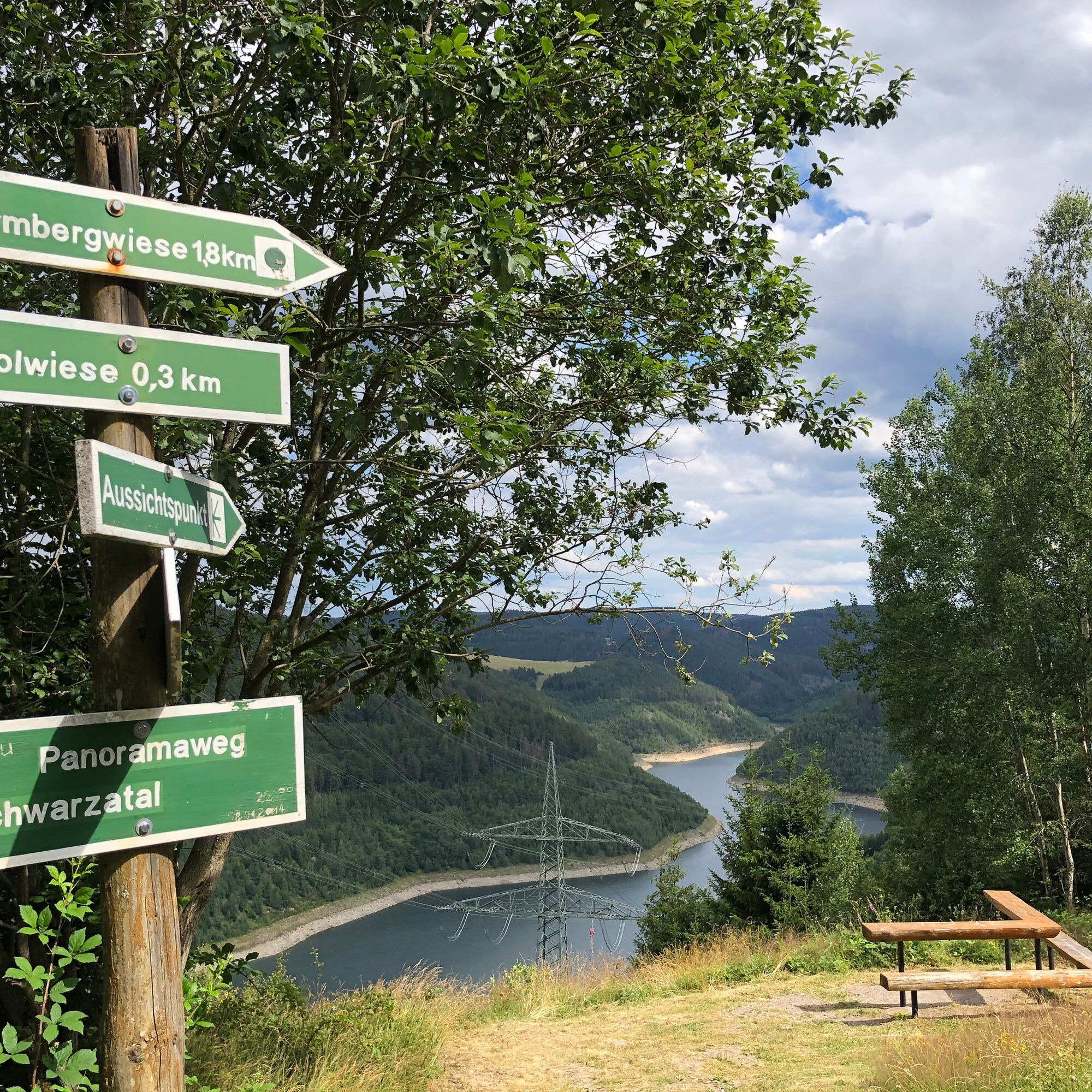
From Solwiese, it is worth taking a detour on the panoramic path to the reservoir view 300 m away before descending to the reservoir and experiencing the lake from a completely different perspective.
Získejte přehled
Vždy živě na místě s více než 9 500 webkamerami. bergfex Jako uživatel Pro si nyní můžete zobrazit odpovídající webové kamery pro mnoho prohlídek v aplikaci prohlídky z. Můžete si tak přímo prohlédnout aktuální podmínky.
Oblíbené prohlídky v okolí
-
4.8
Circular hiking trail - "To the most beautiful viewpoints" - Thuringian Forest
středníTuristika 12.8 km -
4.5
Circular route - “To the Strudel pots of the Schwarza” - Starting point at the Chrysopras weir - Bad Blankenburg
středníTuristika 9.01 km -
Circular hiking trail - "Sculpture Trail" - Hiking start Unterweißbach - Thuringian Forest
středníTuristika 24.4 km -
Circular route - "When Rennsteig meets the Schwarzatal panorama path" - Limbach
středníTuristika 9.68 km -
5.0
Circular route 5 - Neustadt am Rennsteig - Thuringian Forest
středníTuristika 8.50 km -
5.0
Meurasteine, Talsperre Leibis-Lichte
středníTuristika 13.4 km -
Circular trail - Saugartenpfad - Hiking start at Chrysopraswehr - Bad Blankenburg
středníTuristika 8.39 km -
Circular hike - Around the pumped-storage power plant - Goldisthal
středníTuristika 19.5 km -
Panoramaweg Schwarzatal - Stage 1 Schwarza to Schwarzburg - Thuringian Forest
heavyTuristika 15.4 km -
5.0
Circular hiking trail - Nature educational path Lichtenhain - Hiking start Lichtenhain
středníTuristika 8.08 km
Pěší turistika a stopování


Nenechte si ujít nabídky a inspiraci pro vaši příští dovolenou
Vaše e-mailová adresa byl přidán do poštovního seznamu.





