







Circular hiking trail - "To the most beautiful viewpoints" - Thuringian Forest
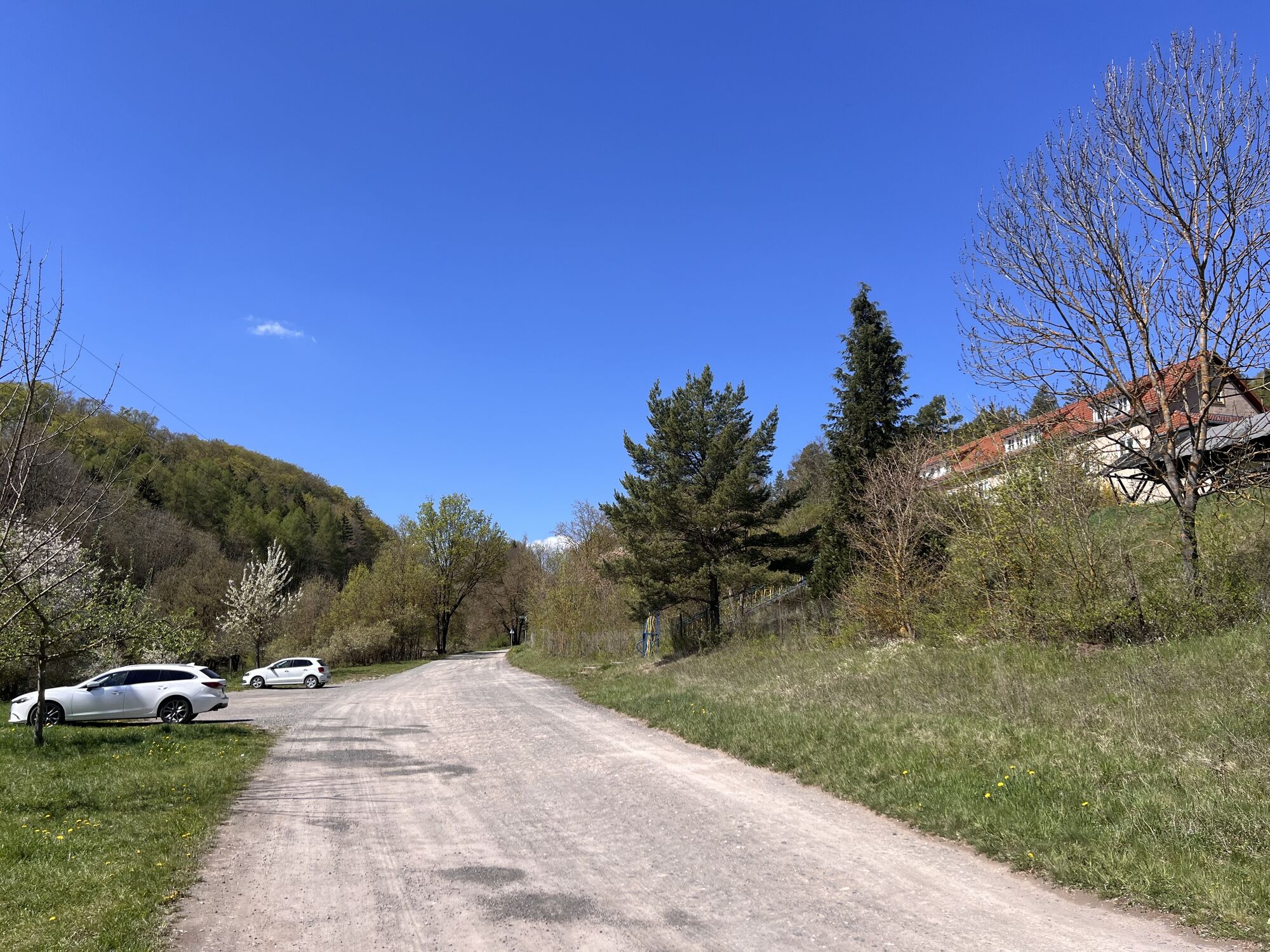
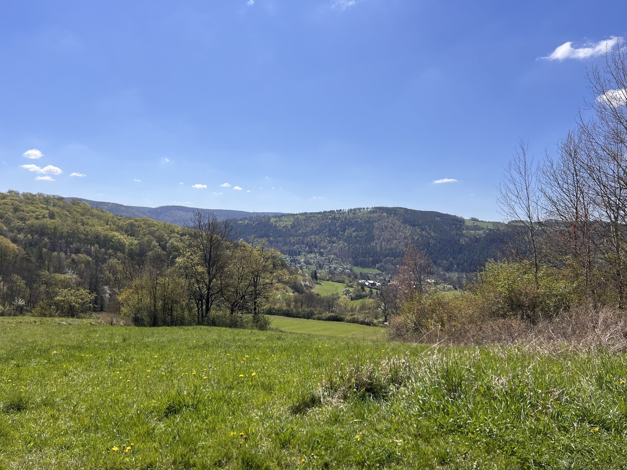
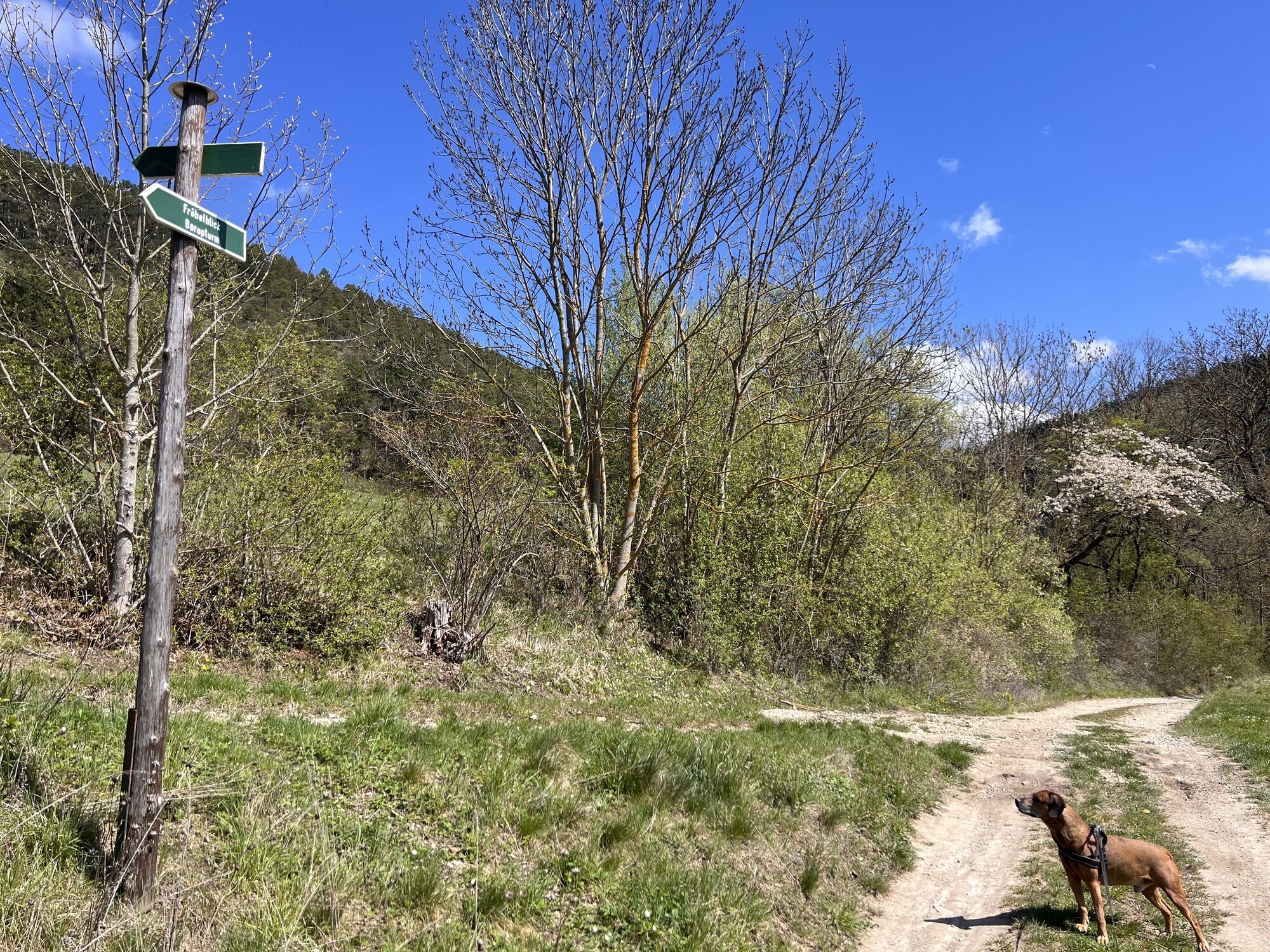
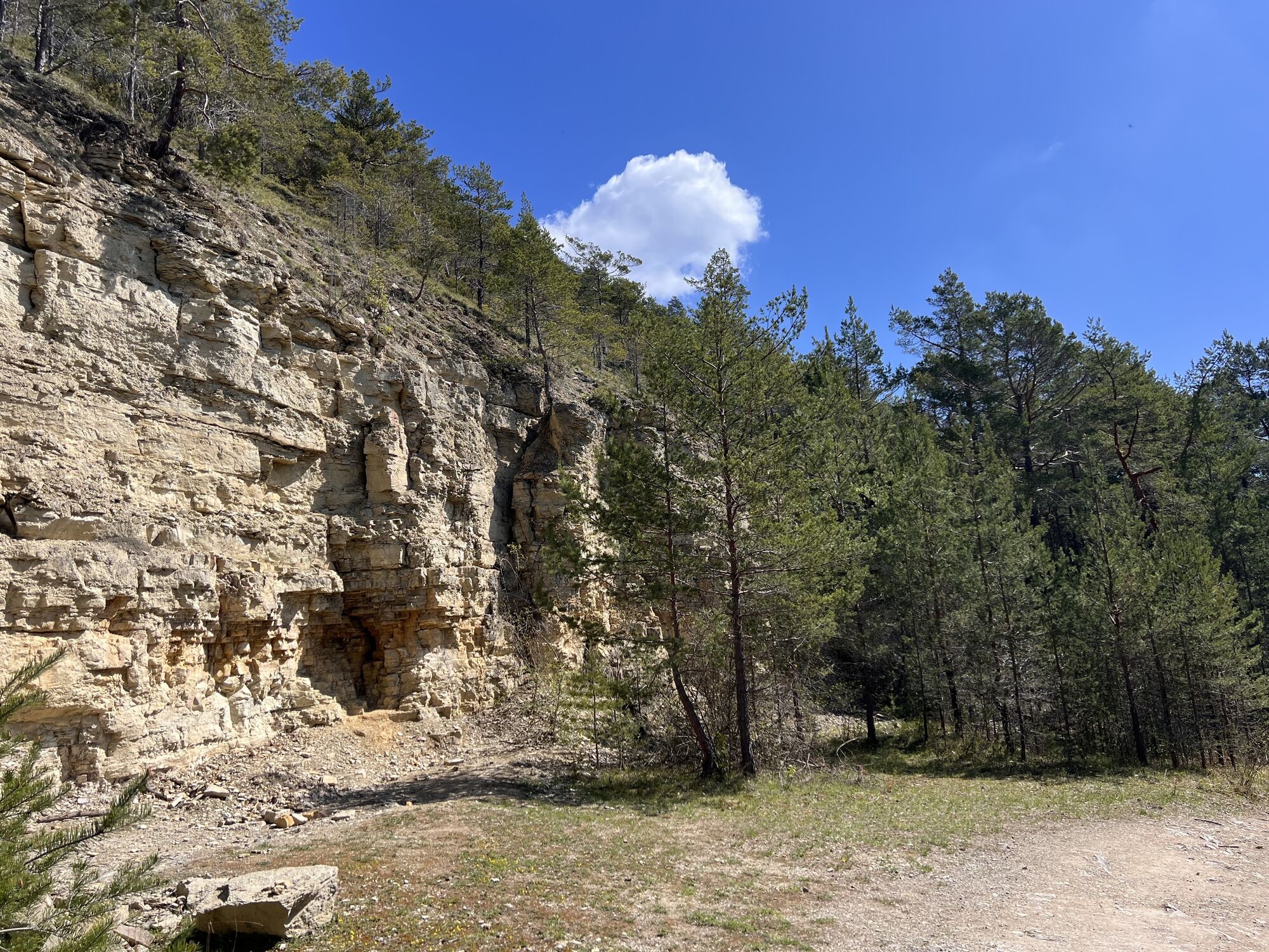
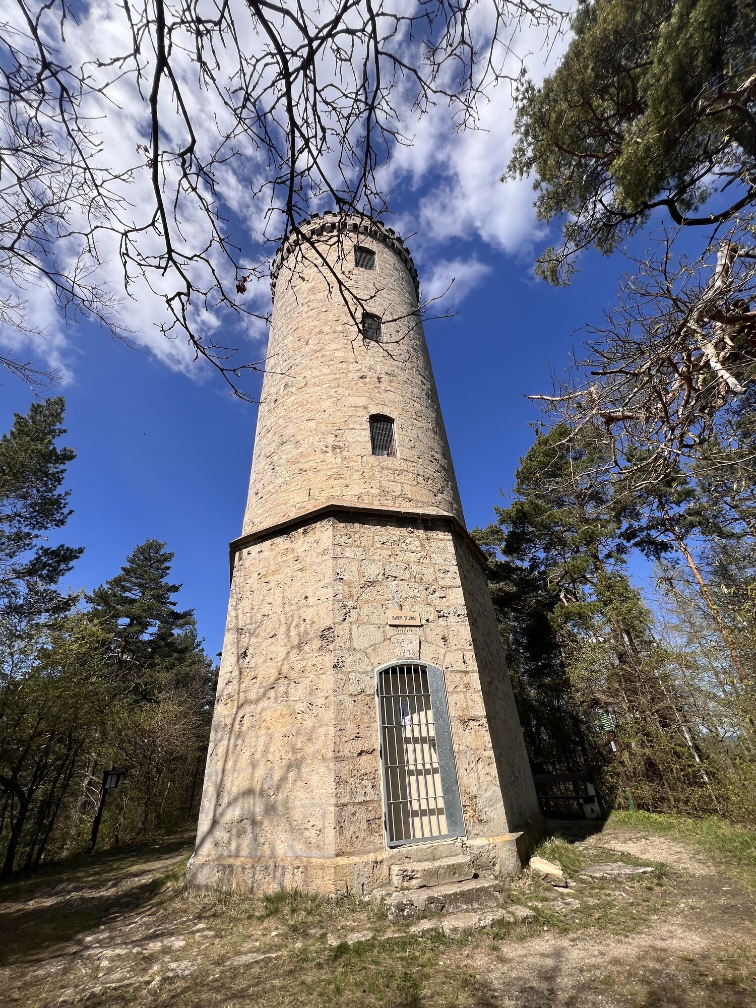
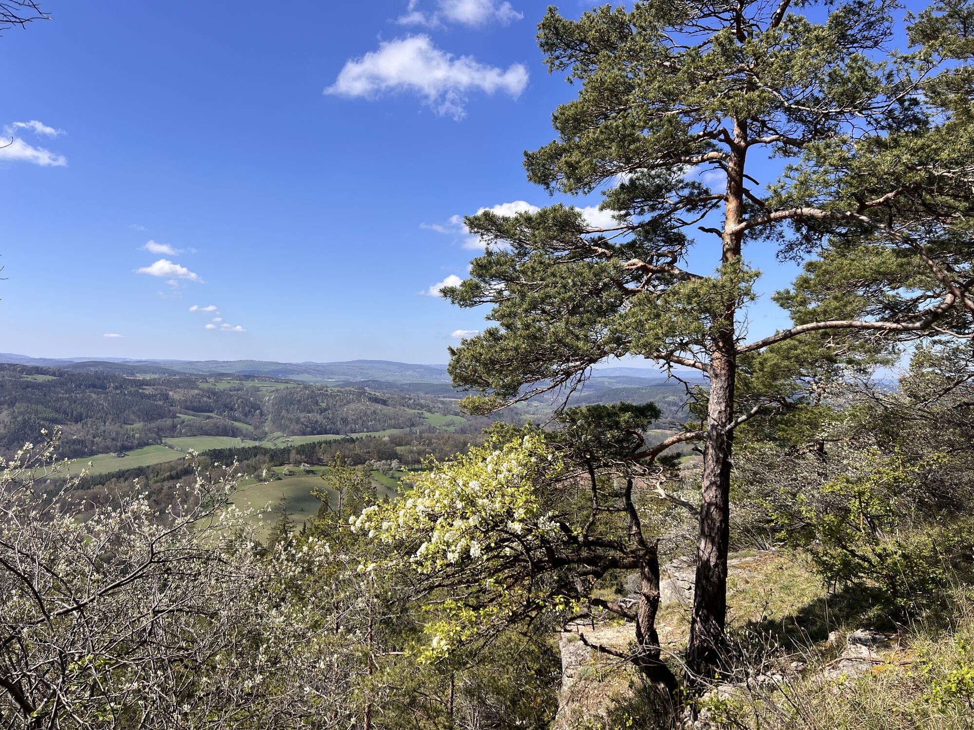
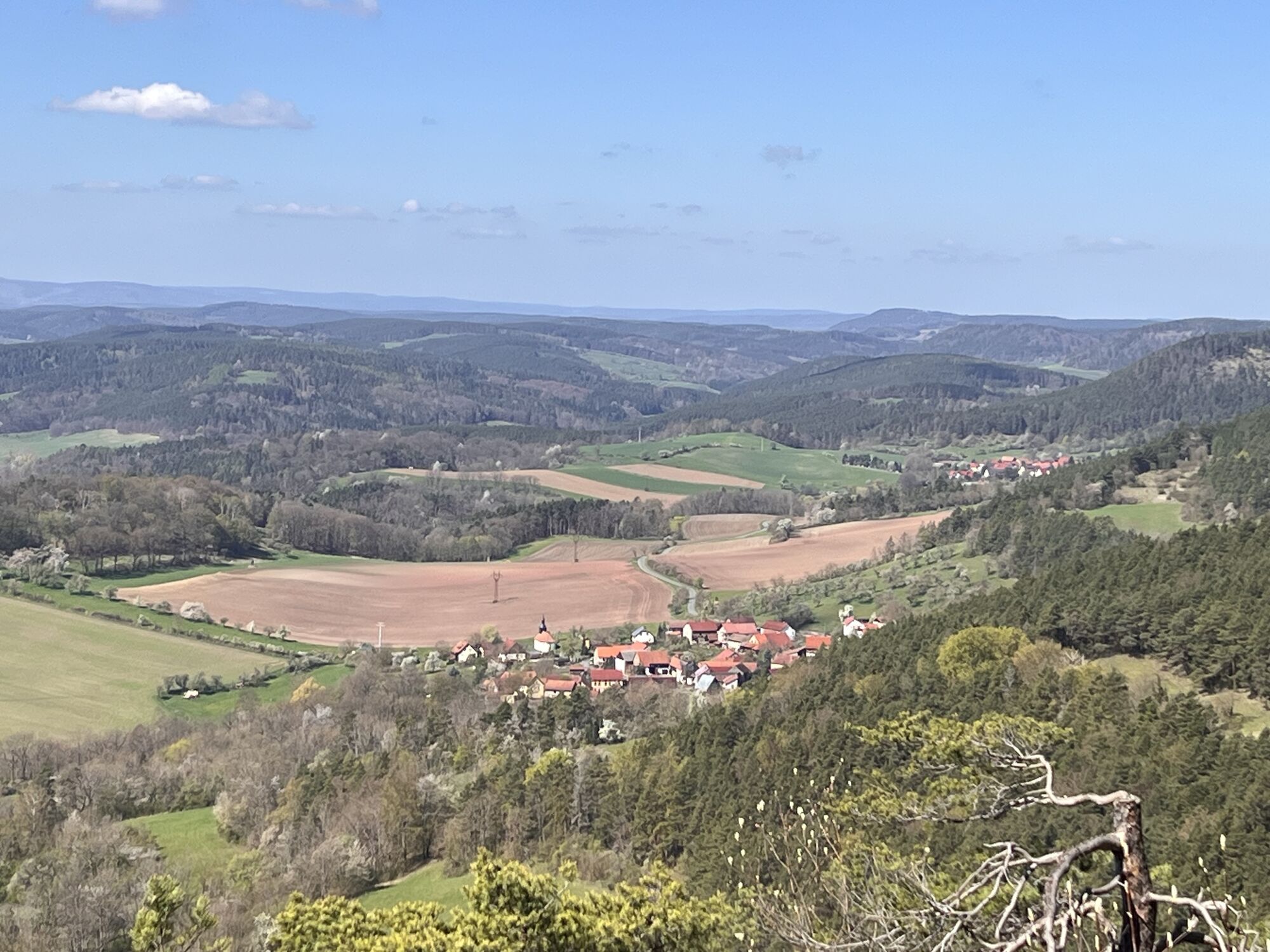
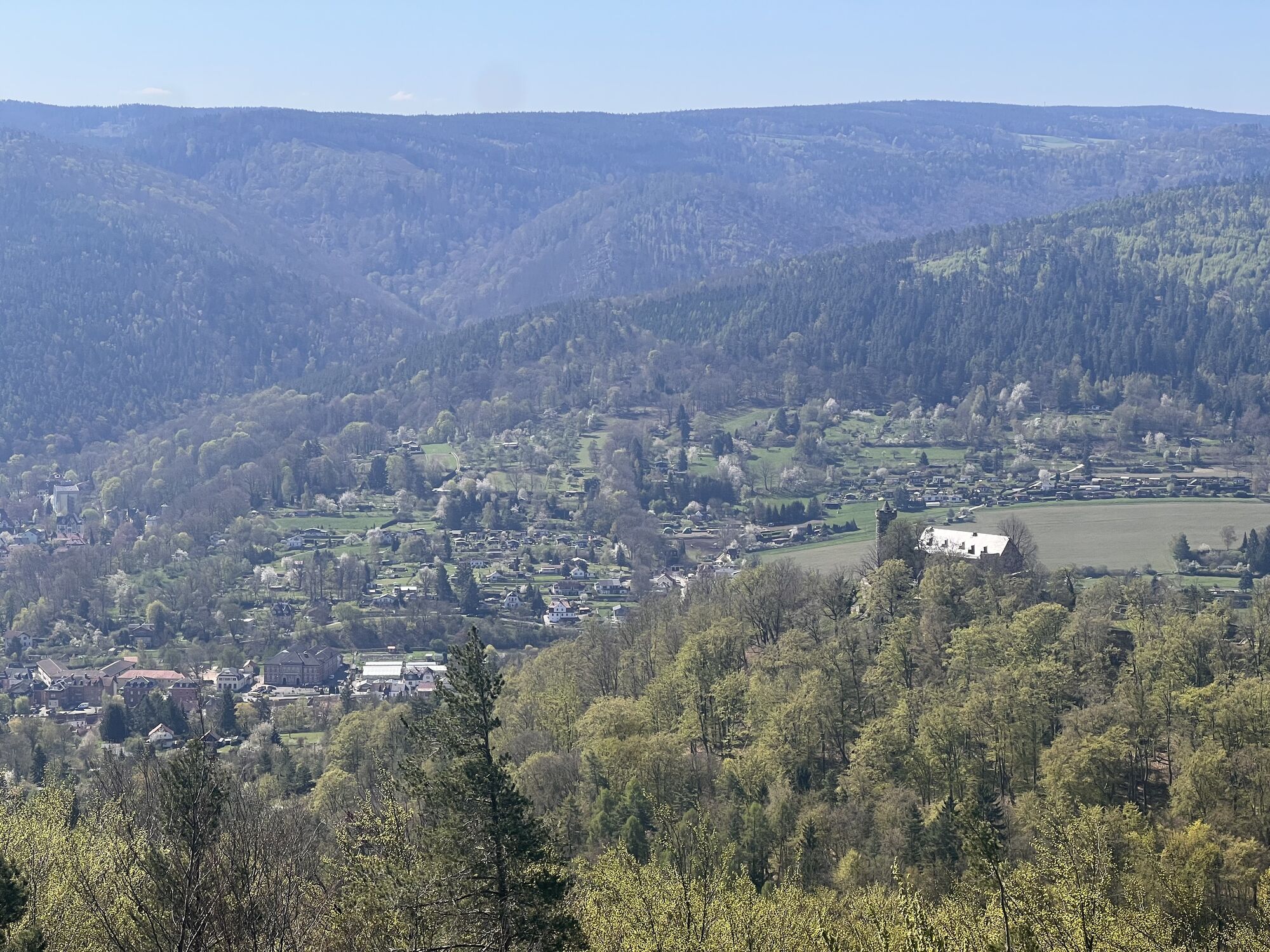
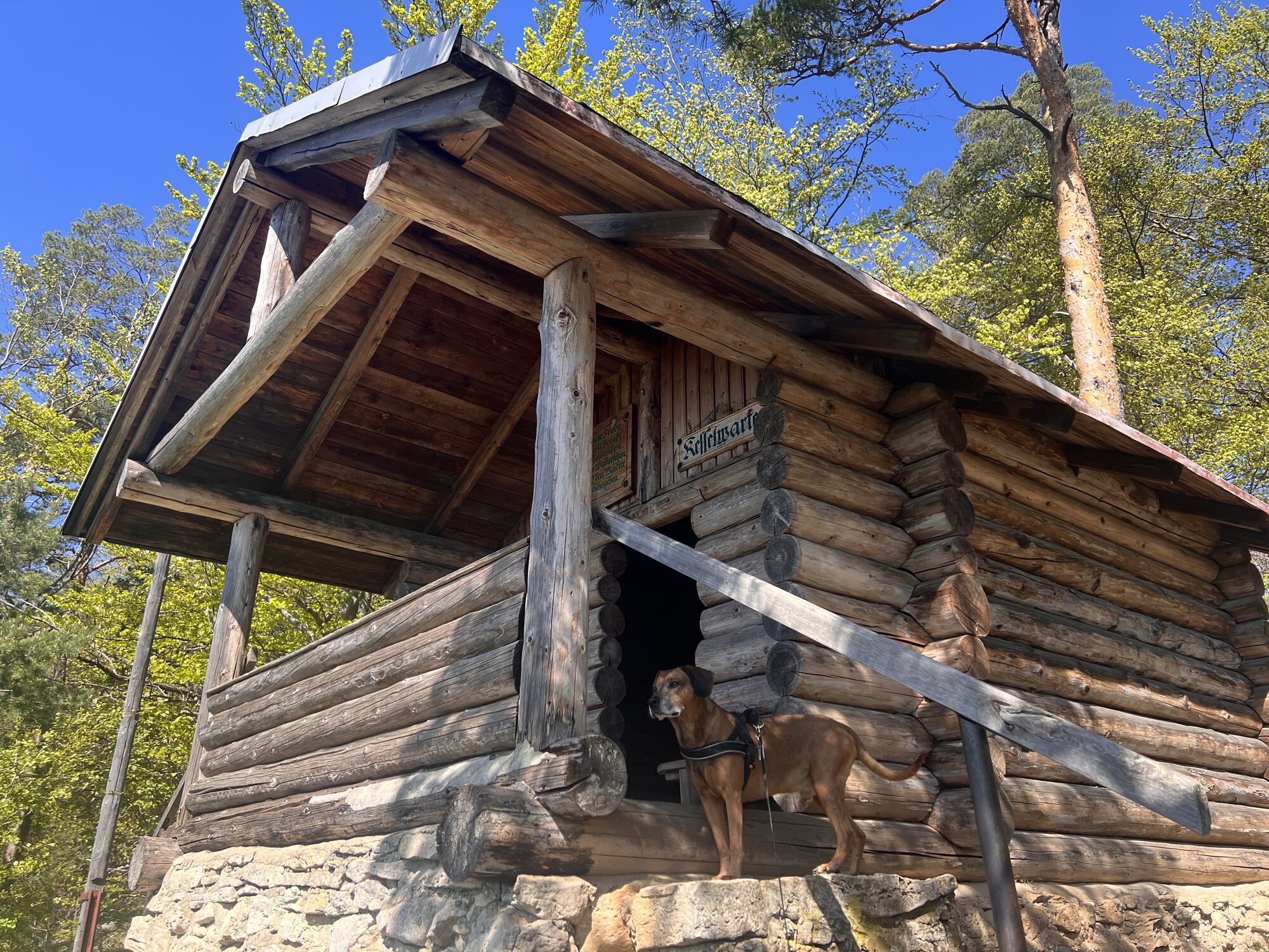
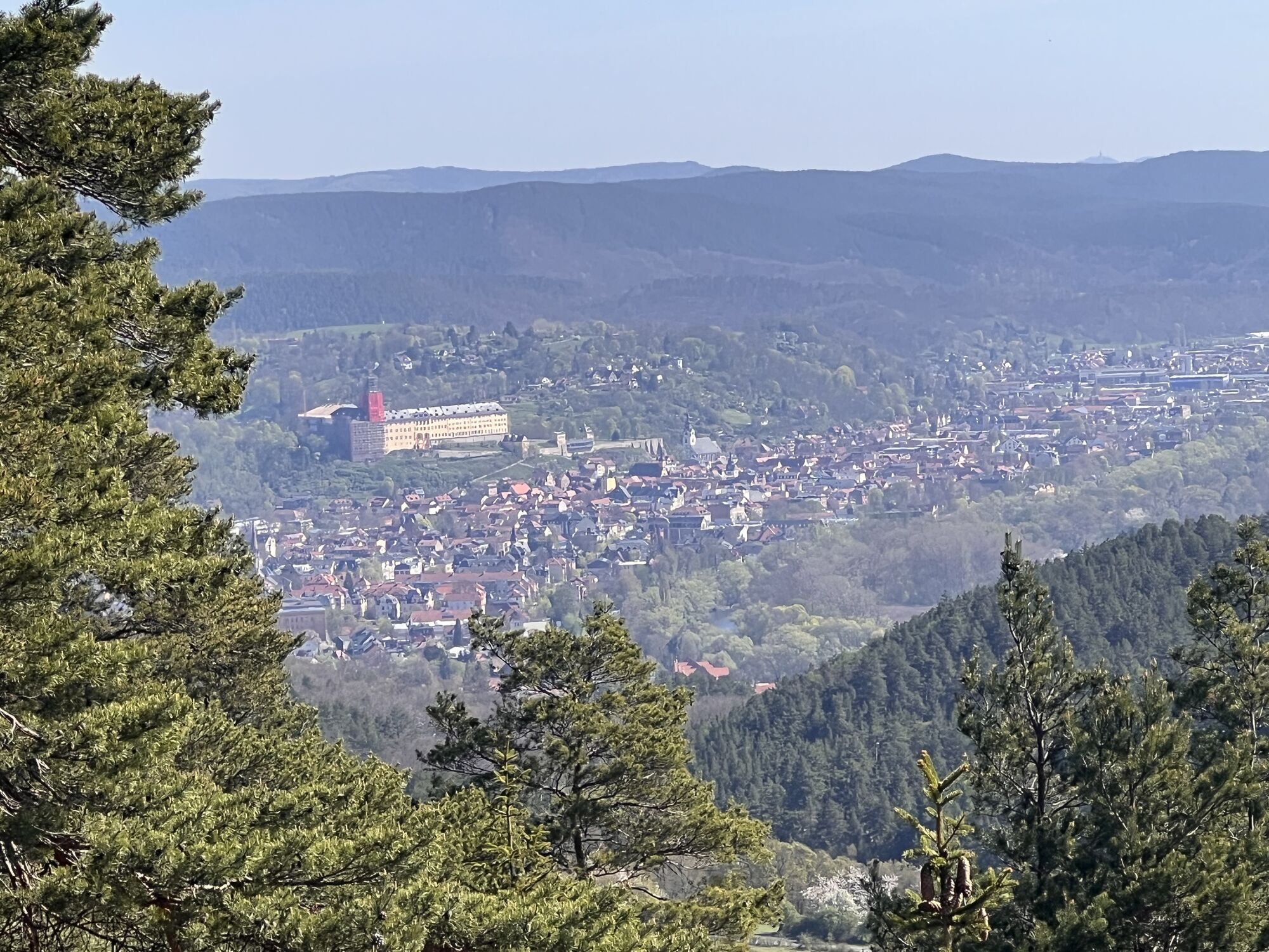
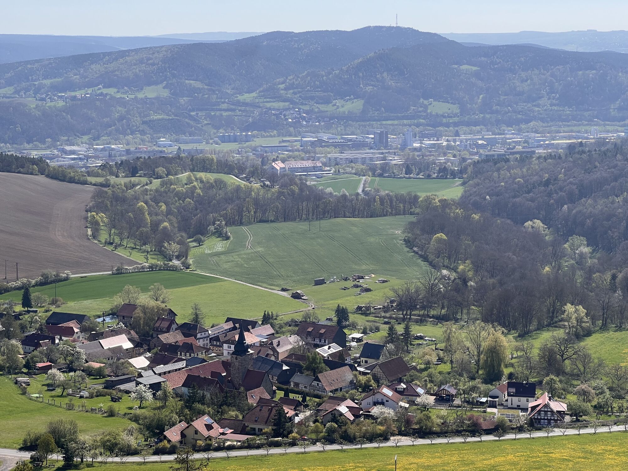
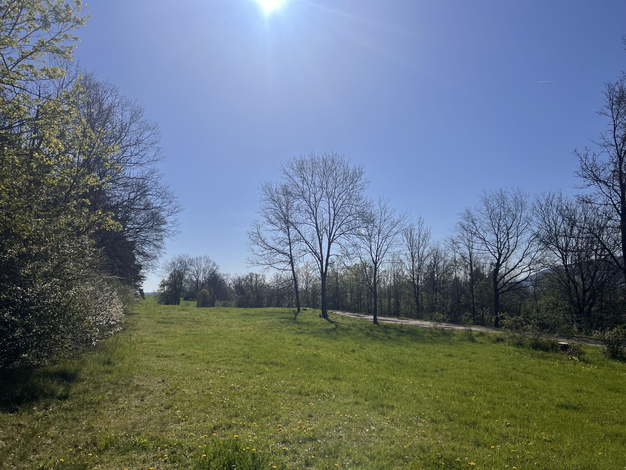
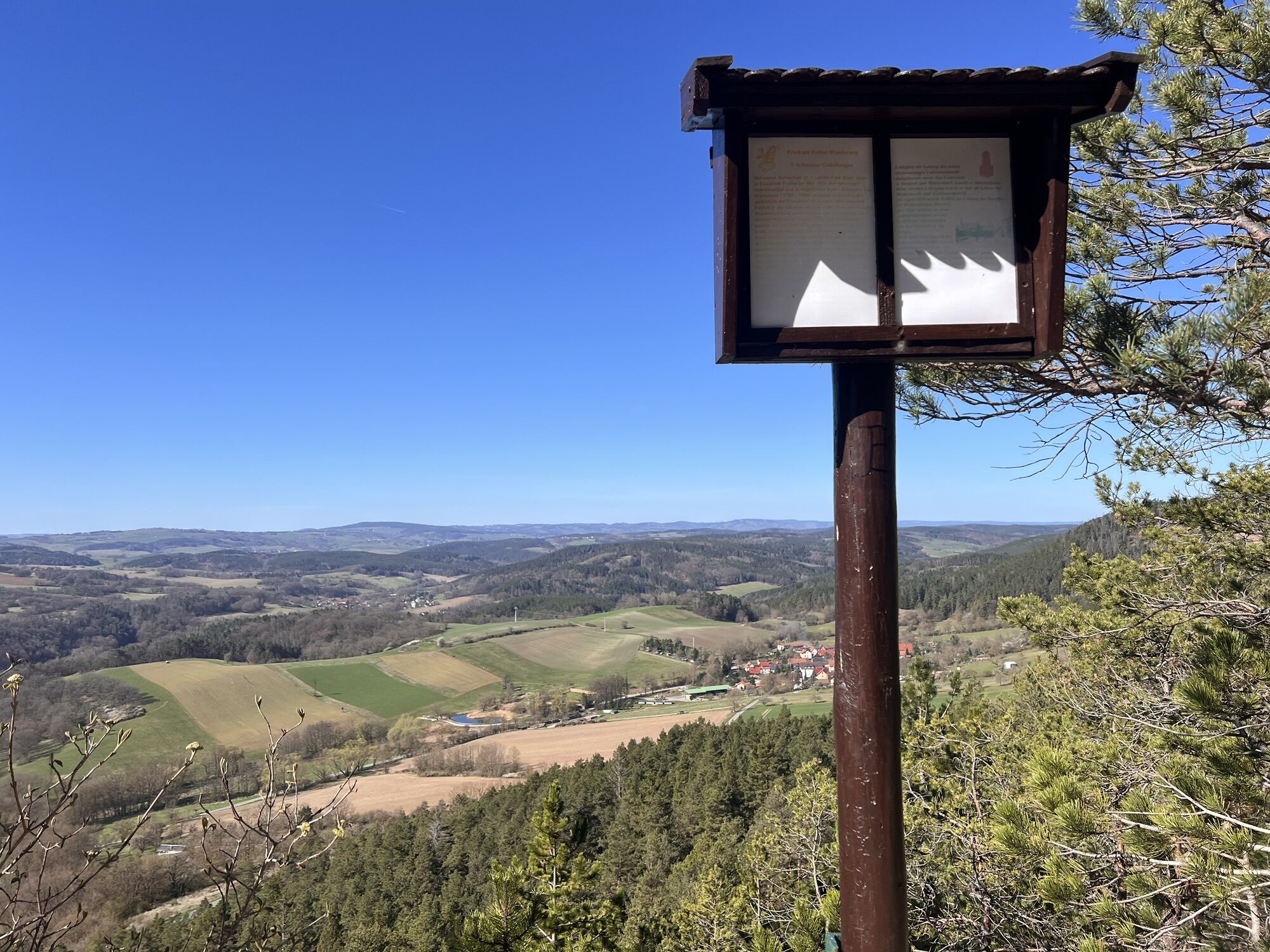
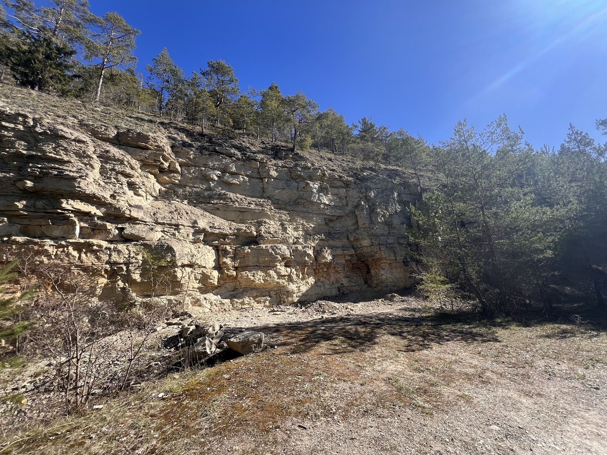
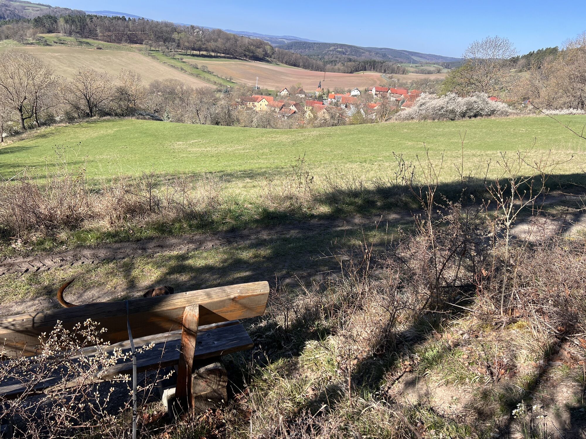
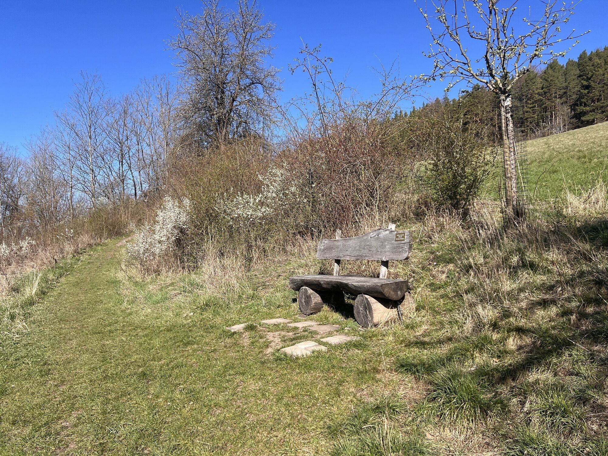
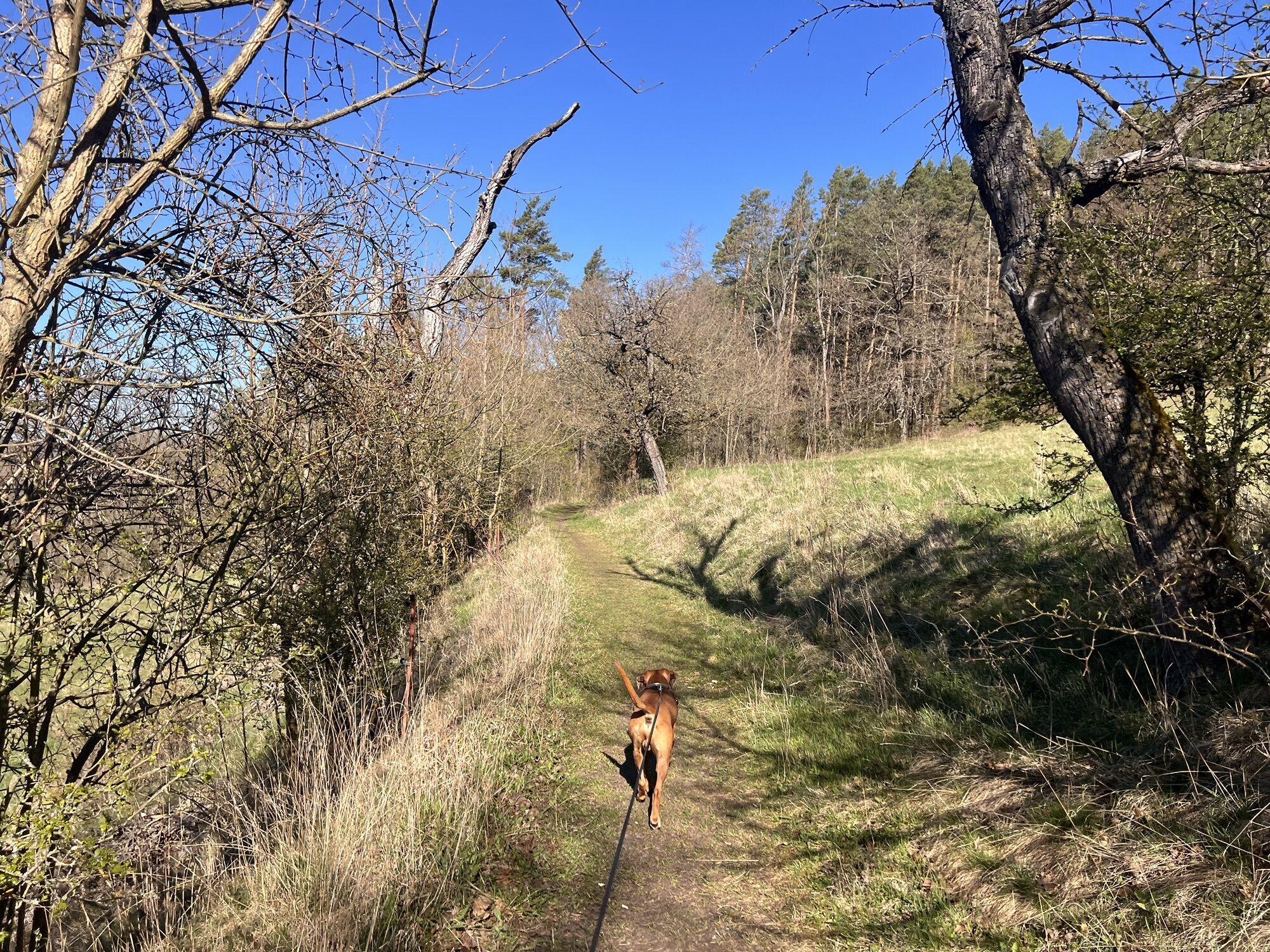
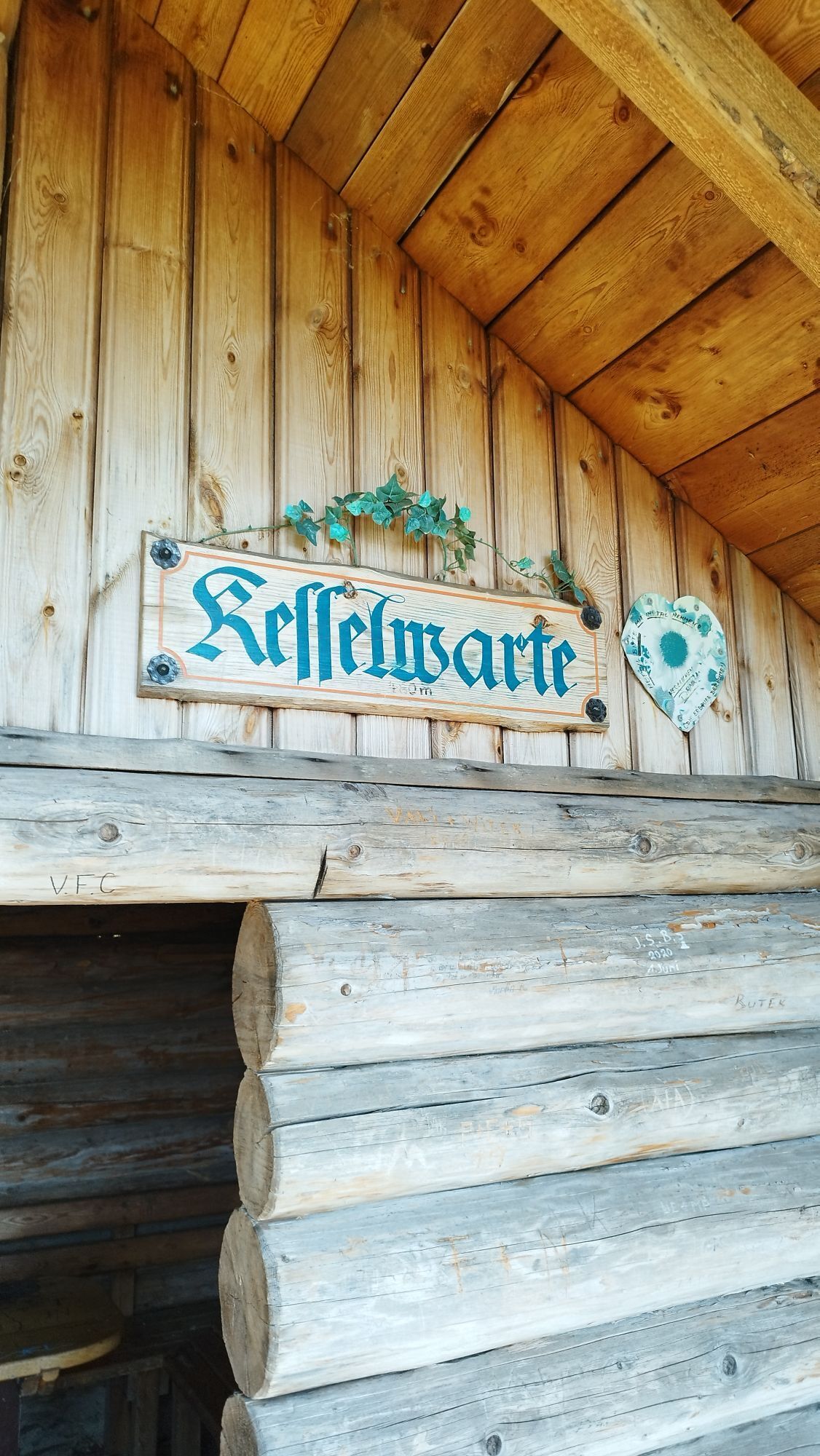
This route takes you to the four most beautiful viewpoints north of Bad Blankenburg: to the Liske near Zeigerheim, to the Kesselwarte above Bad Blankenburg, the Fröbelblick and the Baropturm. Throughout...
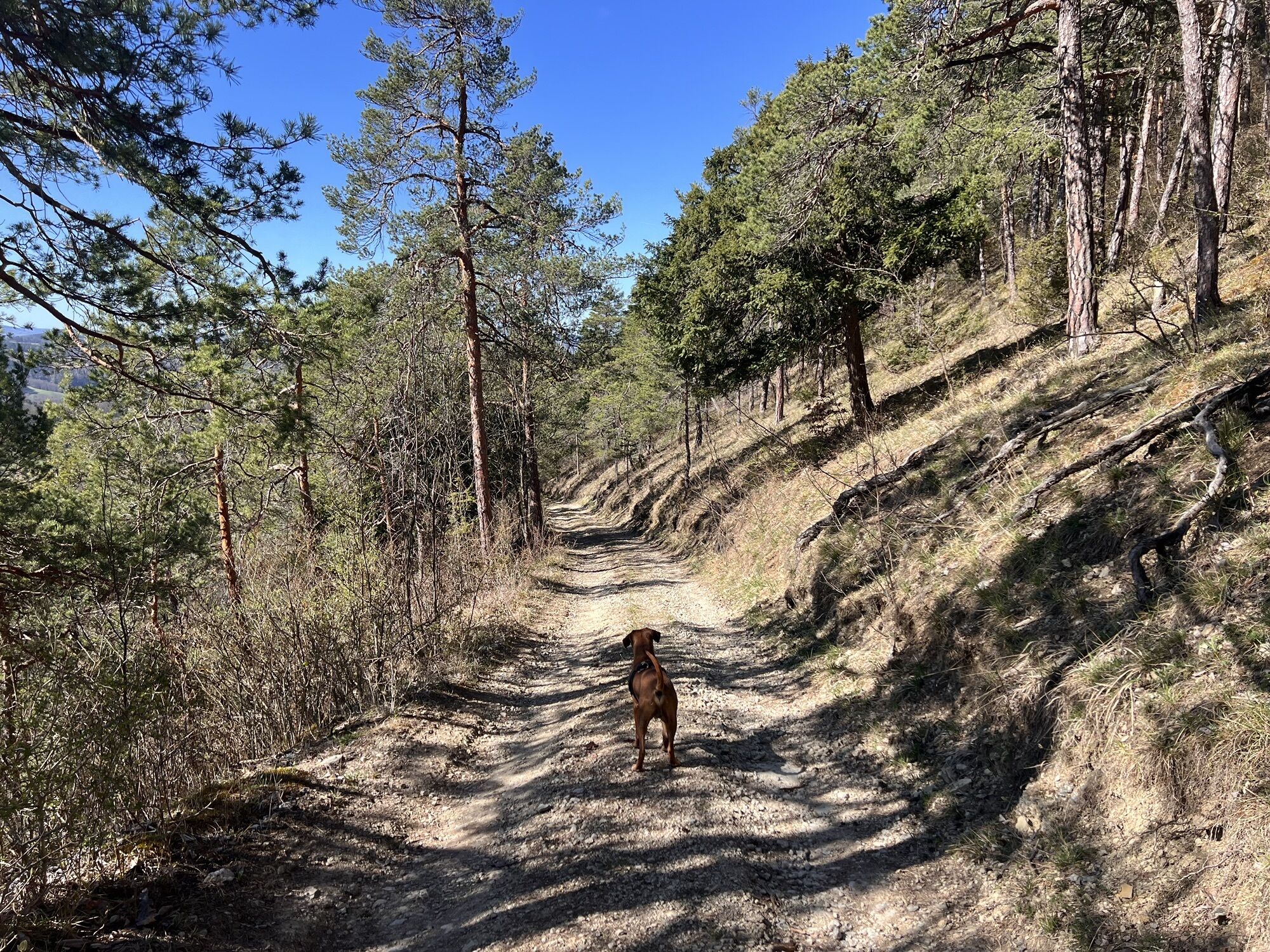
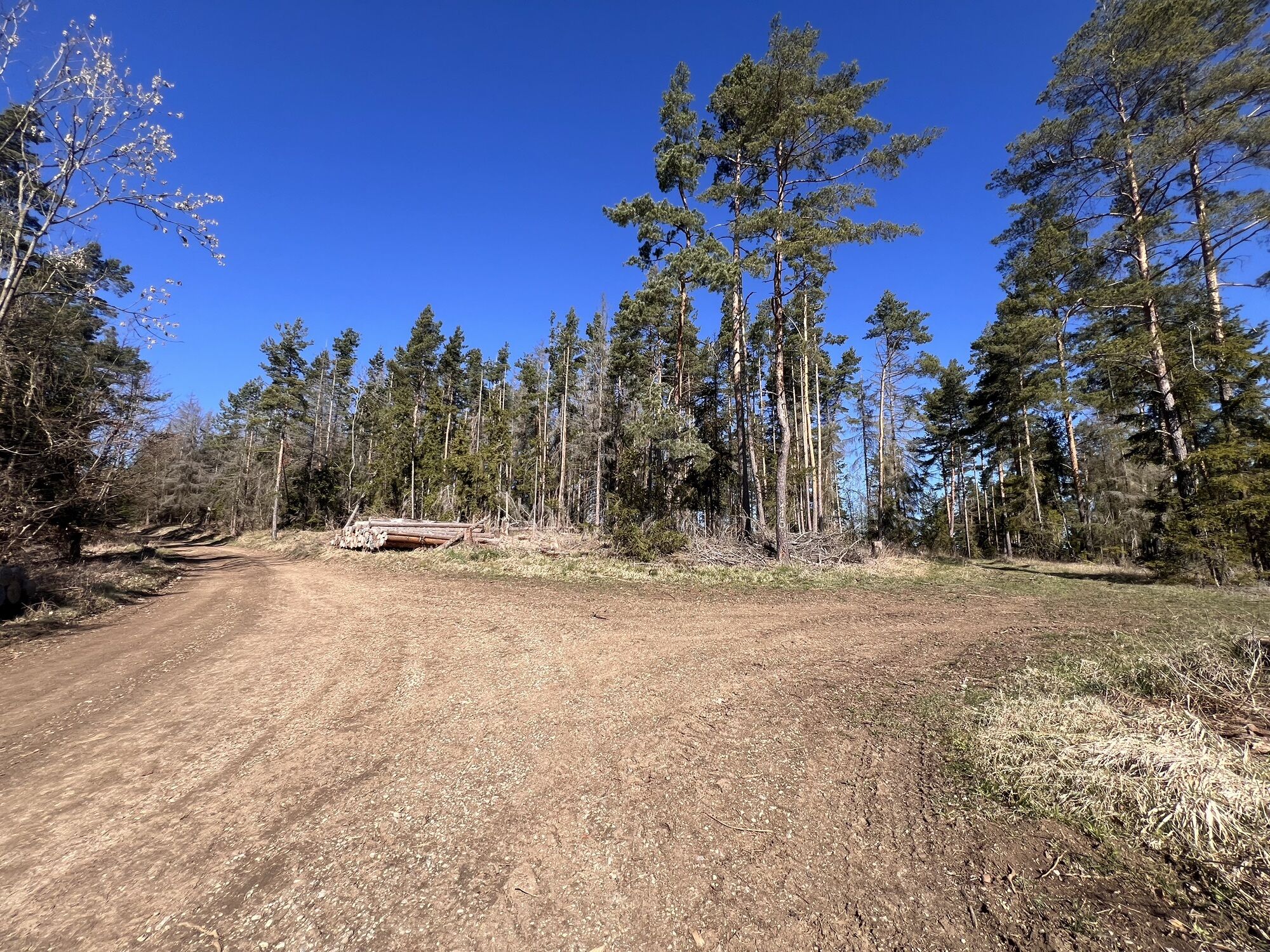
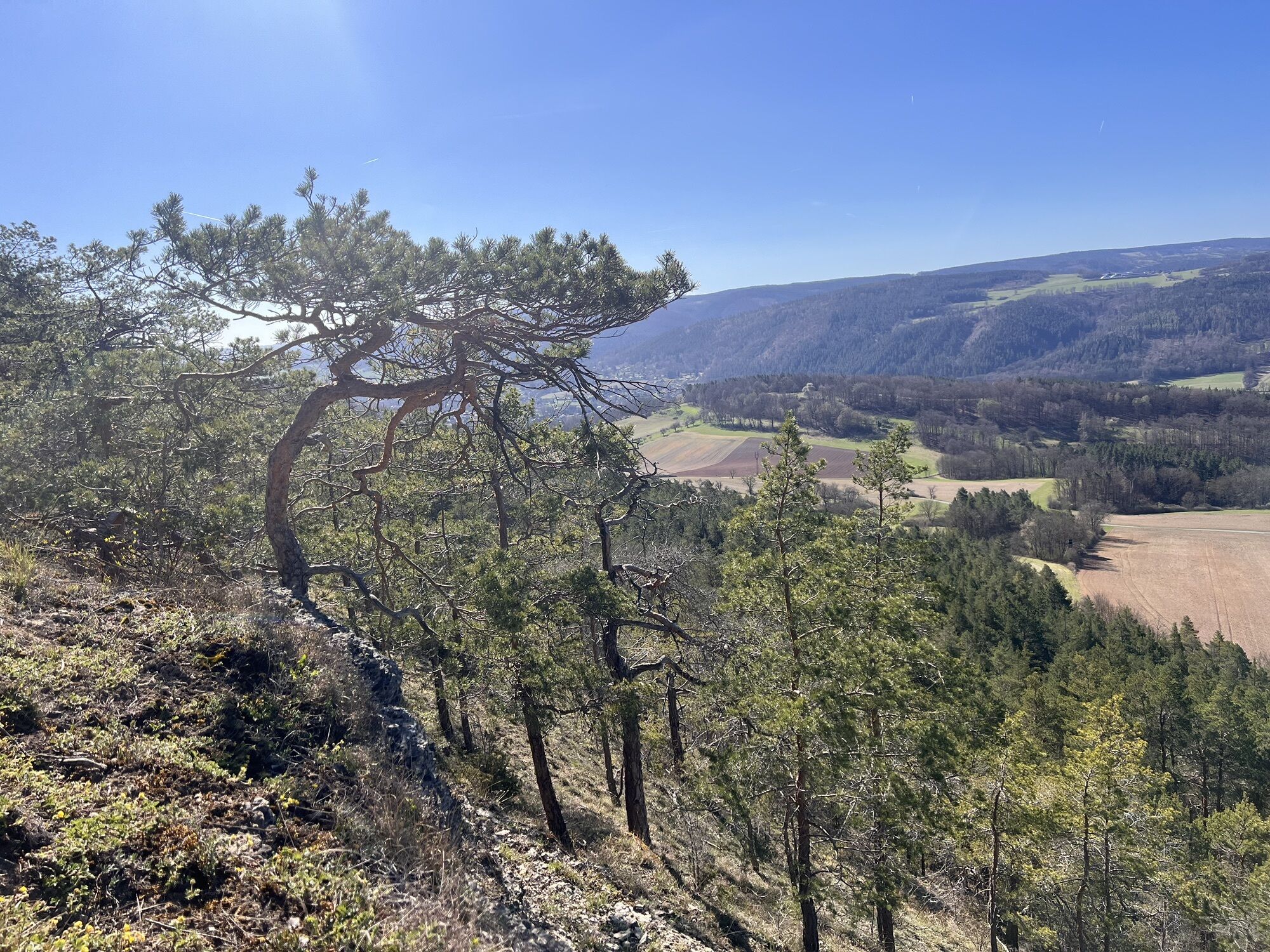
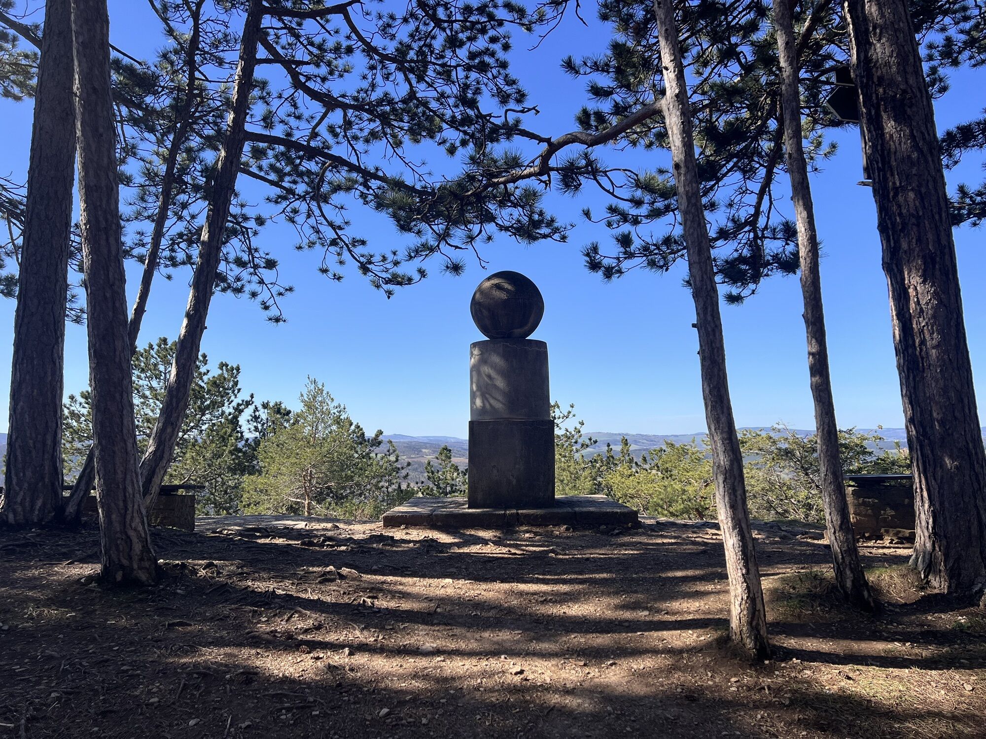
This route takes you to the four most beautiful viewpoints north of Bad Blankenburg: to the Liske near Zeigerheim, to the Kesselwarte above Bad Blankenburg, the Fröbelblick and the Baropturm. Throughout the route, there are repeatedly magnificent views and vistas. Numerous benches and the shelter "Kesselwarte" invite you to pause for a rest along the way. From the Baropturm, the last section of the route runs downstream on the Fröbel hiking trail. Small signs along the way provide interesting information about the life and work of Friedrich Fröbel.

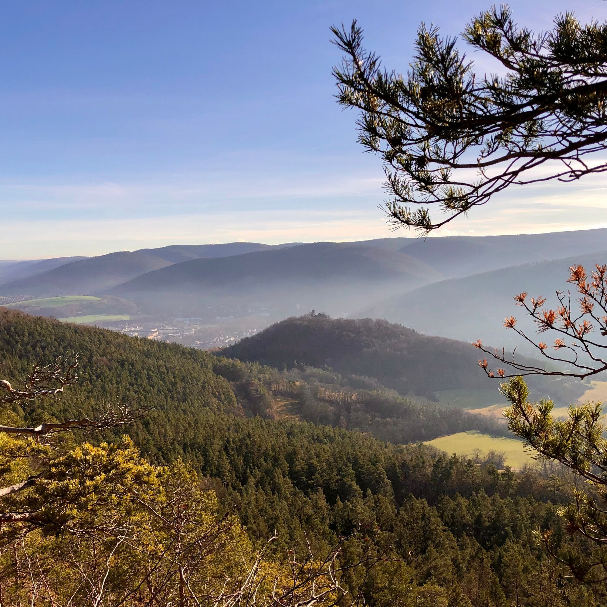
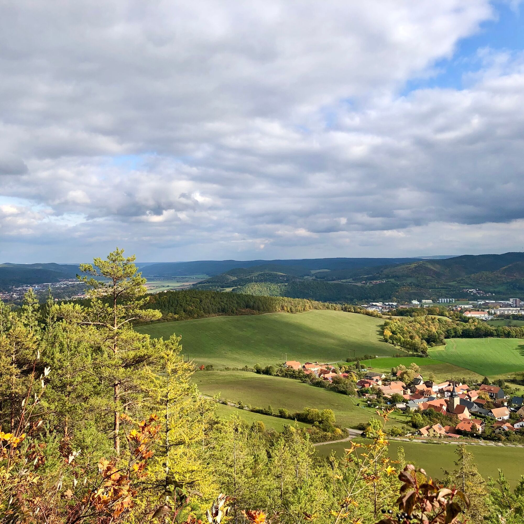
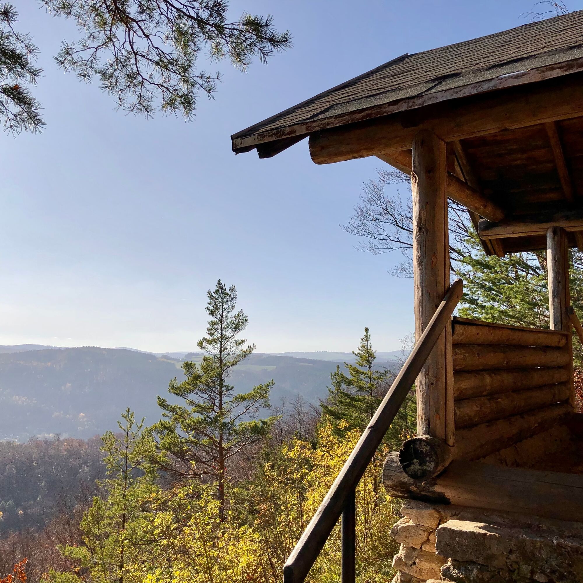
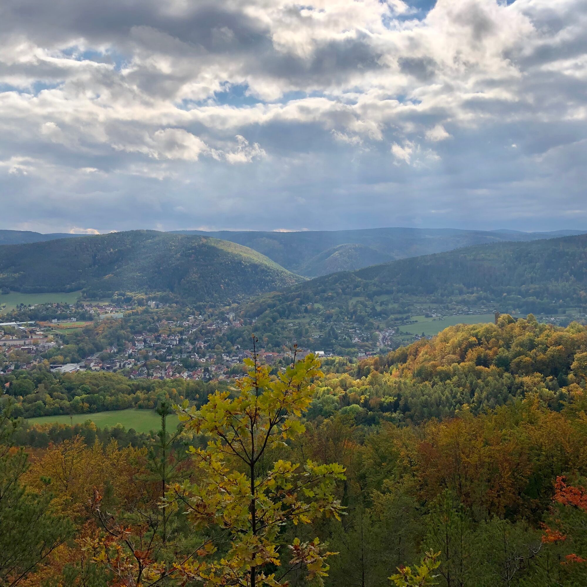
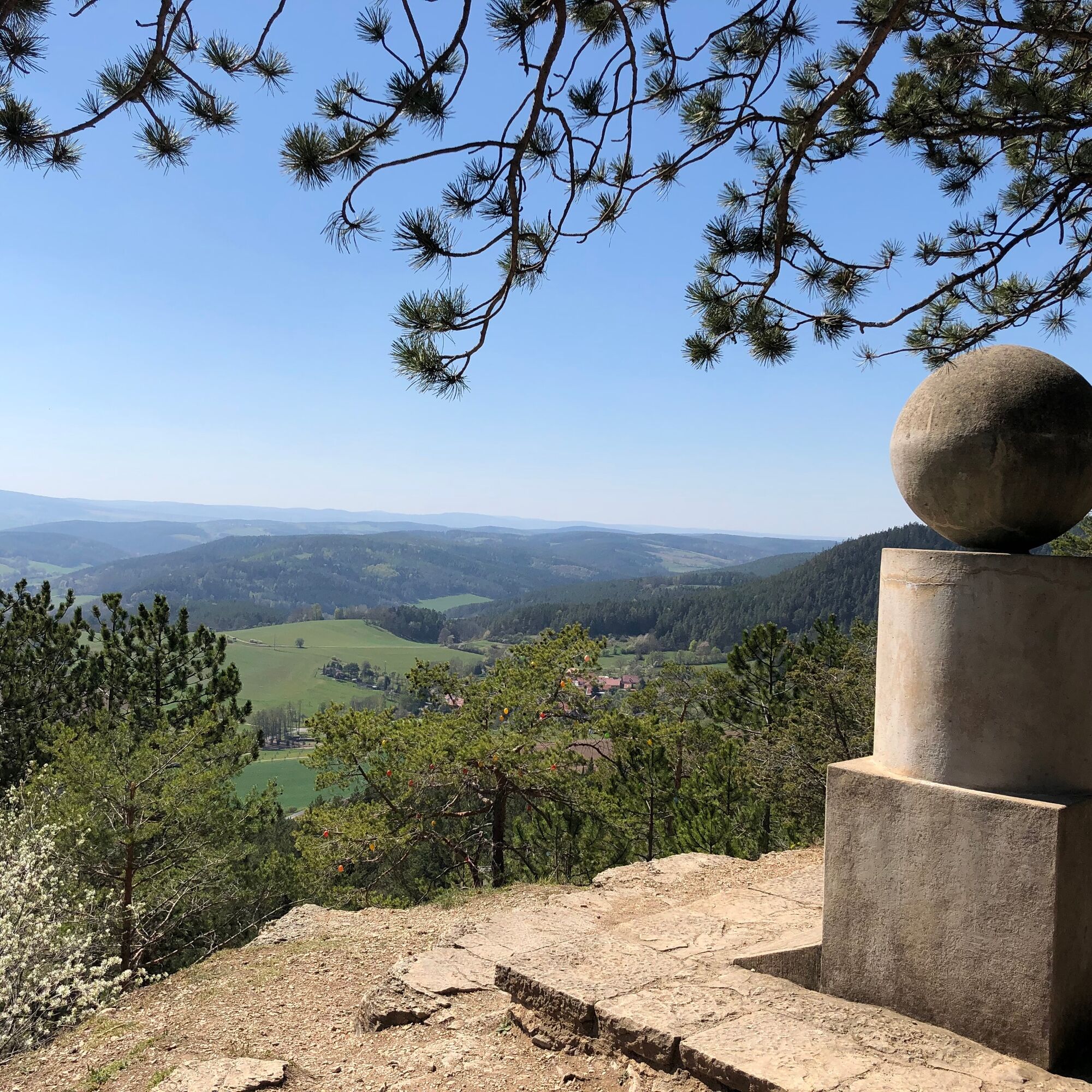
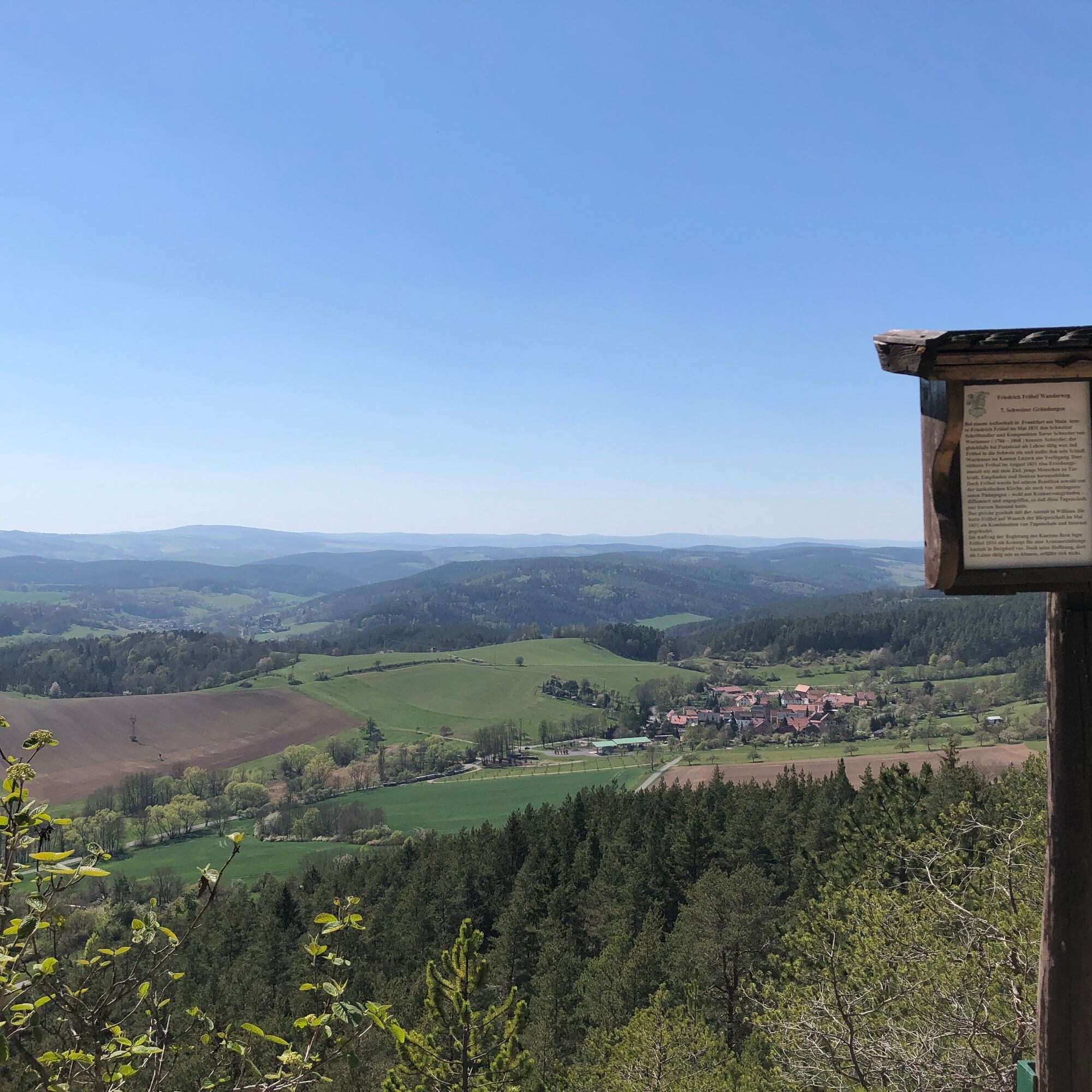
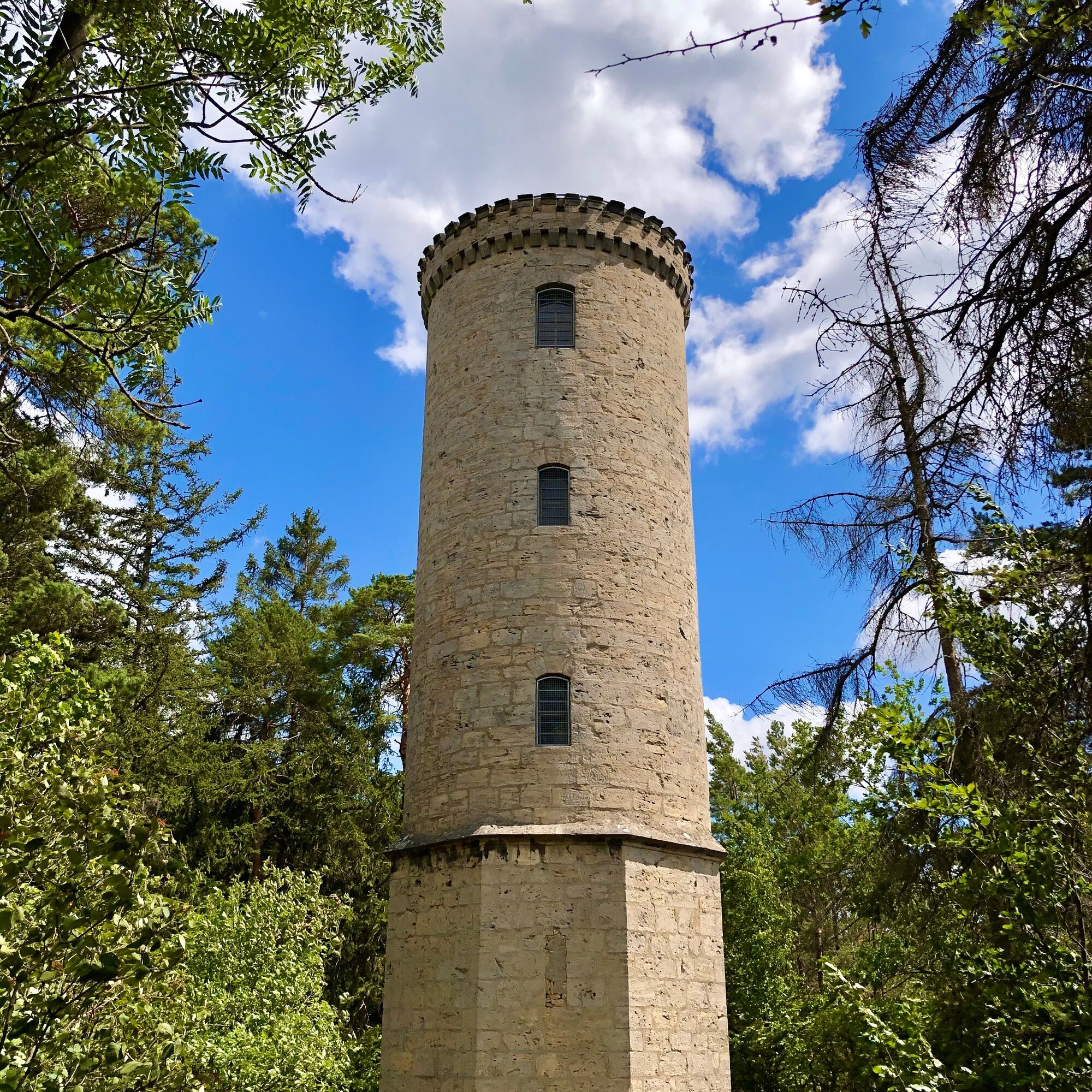
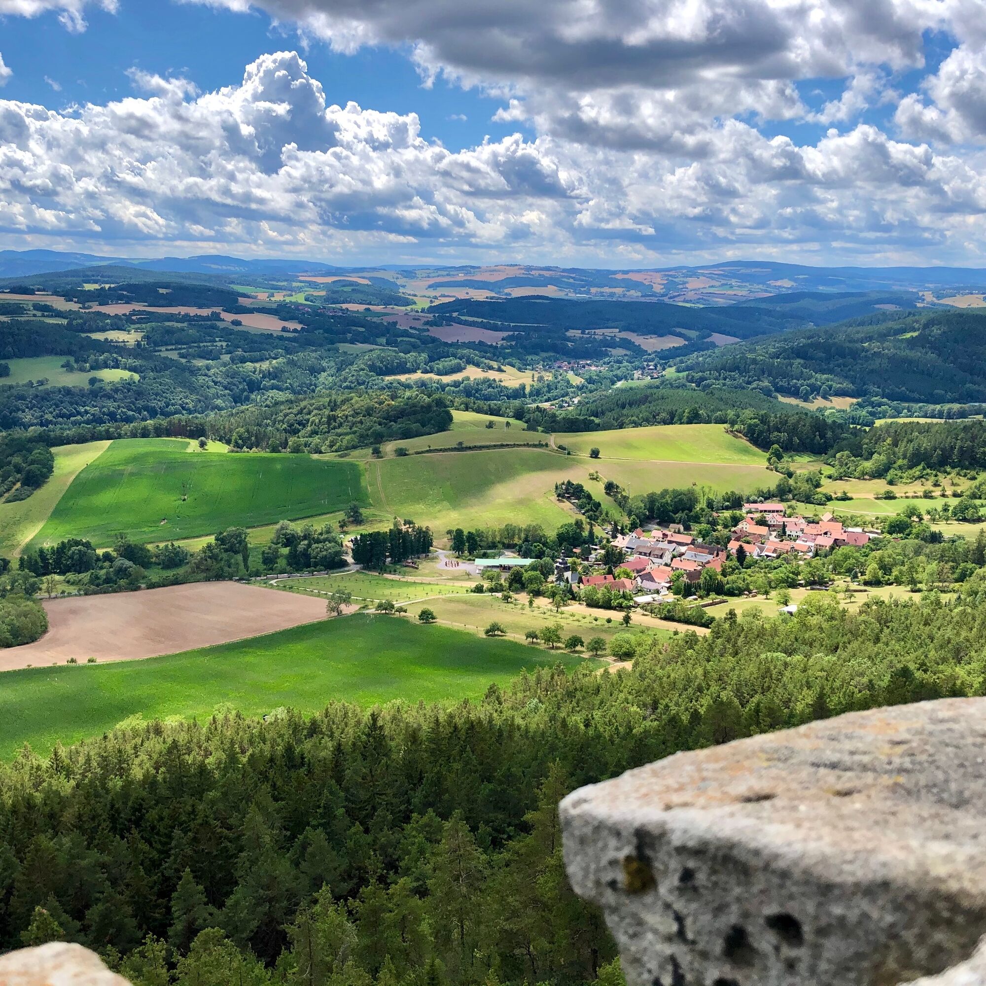
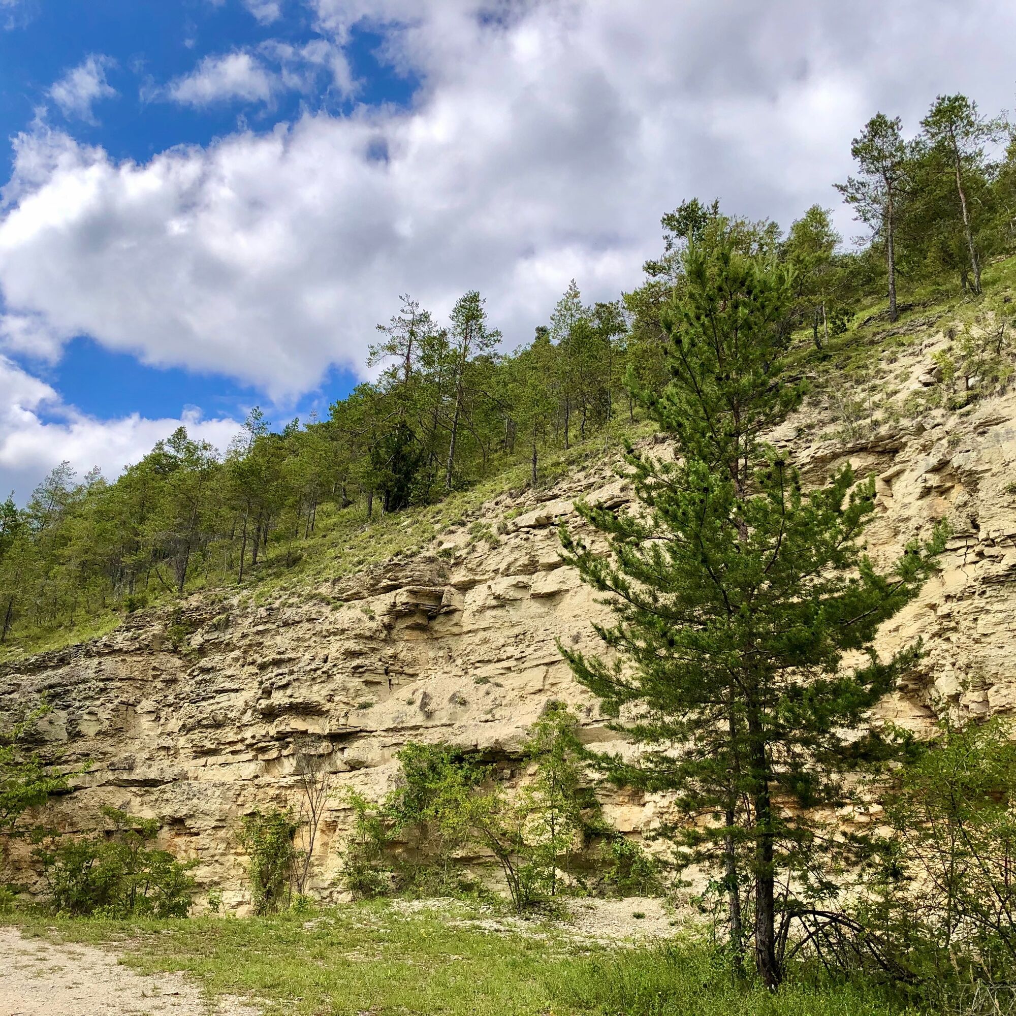
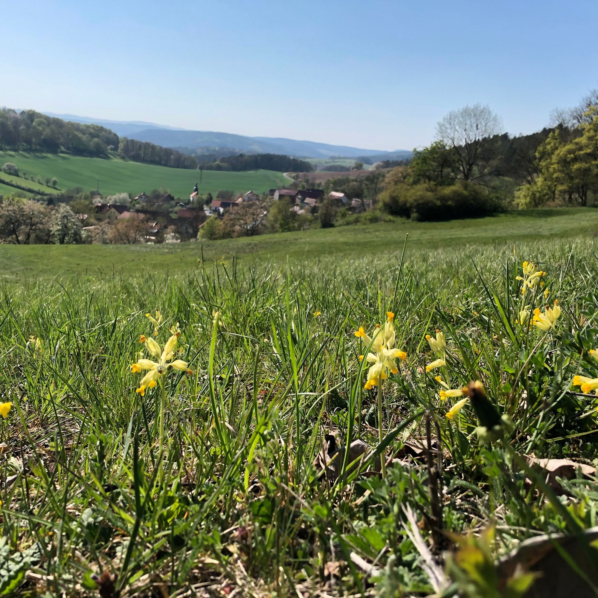
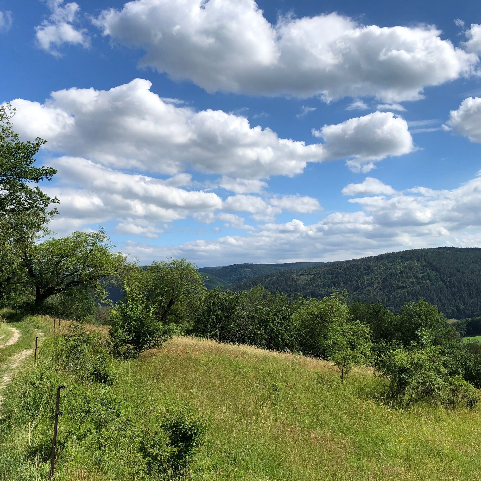
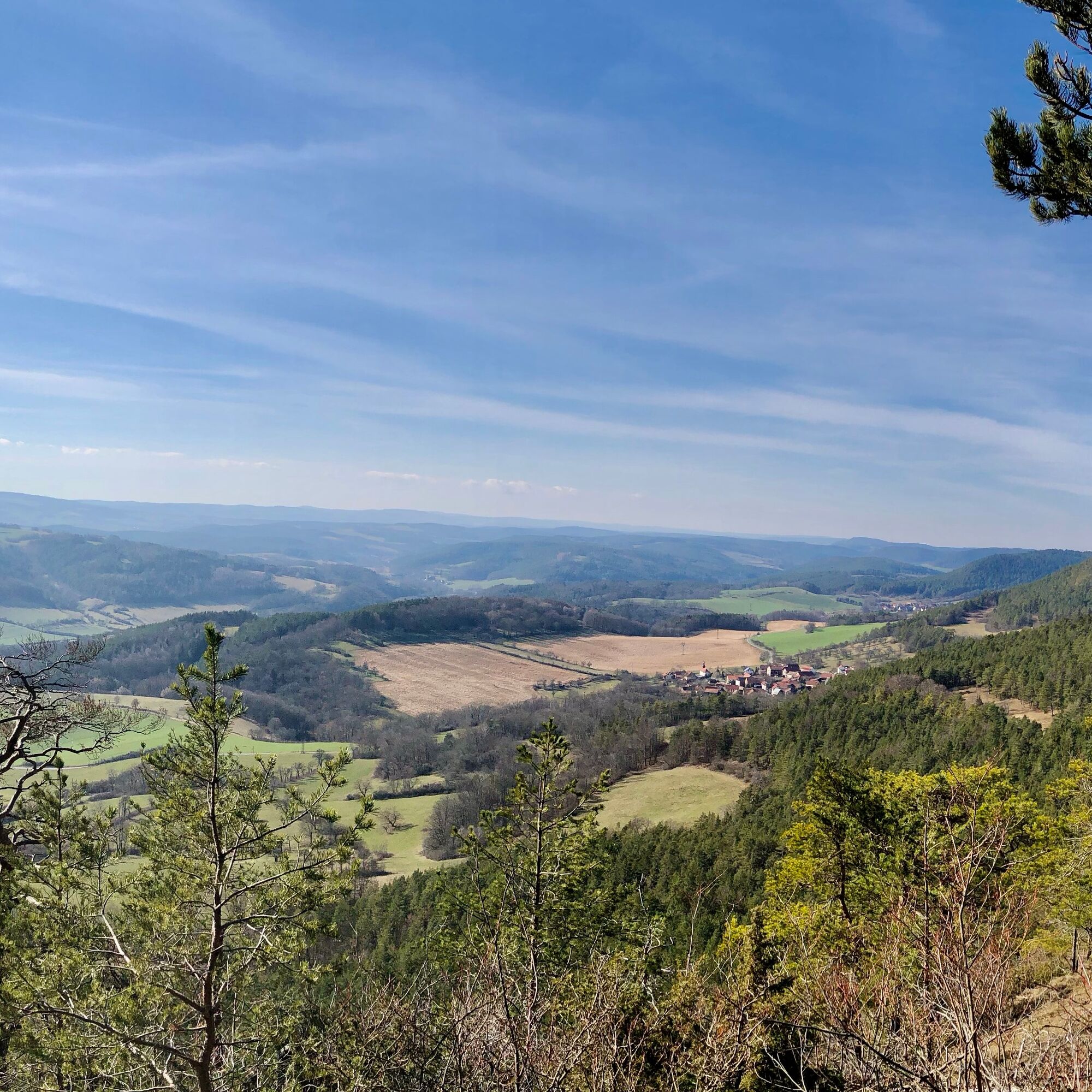

Parking lot at the hostel - Zeigerheim - Ascent to Liske - Ridge trail over Kesselwarte to Fröbelblick - Baropturm - Fröbelblick - Fröbel hiking trail downstream to Cyliax bench - Parking lot at the hostel
Ano
Sturdy footwear
Drinks
Food
Hiking stick / Nordic walking poles if needed
To protect our animal and plant life:
- stay on the paths
- Please leave no food residues, packaging material or any other items on the path
You can reach the B88 via the A4, A71 or A9 highways, which leads you to Bad Blankenburg. In town, follow the signs towards Burg Greifenstein. The hostel is signposted from there.
Parking is available below the hostel (Google NAV point)
Tourist and Service Center
(Main entrance Stadthalle)
Bahnhofstr. 23 | 07422 Bad Blankenburg
Tel. 03 67 41 - 26 67
From May to September, the Baropturm is always open on the last Sunday of the month.



Oblíbené prohlídky v okolí
-
4.5
Circular route - “To the Strudel pots of the Schwarza” - Starting point at the Chrysopras weir - Bad Blankenburg
středníTuristika 9.01 km -
Circular hike - "Friedrich Fröbel" - Bad Blankenburg
heavyTuristika 14.4 km -
Circular trail - Saugartenpfad - Hiking start at Chrysopraswehr - Bad Blankenburg
středníTuristika 8.39 km -
4.0
Circular hike - "Round route 3" - start and finish country hotel Edelhof Kolkwitz - Thuringia
středníTuristika 9.42 km -
Panoramaweg Schwarzatal - Stage 1 Schwarza to Schwarzburg - Thuringian Forest
heavyTuristika 15.4 km -
5.0
Kulm route
středníTuristika 9.39 km -
3.0
Circular route - "On archaeological trail of King Otto I." - Saale region
světloTuristika 6.55 km -
5.0
Circular hiking trail - Nature educational path Lichtenhain - Hiking start Lichtenhain
středníTuristika 8.08 km -
Circular hiking trail - To the Leibis/Lichte drinking water reservoir - Hiking start Lichtenhain
středníTuristika 12.7 km -
5.0
Bachtälchen Path - No. 1
světloTematická stezka 2.96 km
Pěší turistika a stopování


Nenechte si ujít nabídky a inspiraci pro vaši příští dovolenou
Vaše e-mailová adresa byl přidán do poštovního seznamu.





