







Circular trail - Saugartenpfad - Hiking start at Chrysopraswehr - Bad Blankenburg

This route is really challenging and pushes you over about 8.4 km - you overcome a little more than 260 meters of elevation. But enough to scare you at the start, those who are not afraid of the steep...
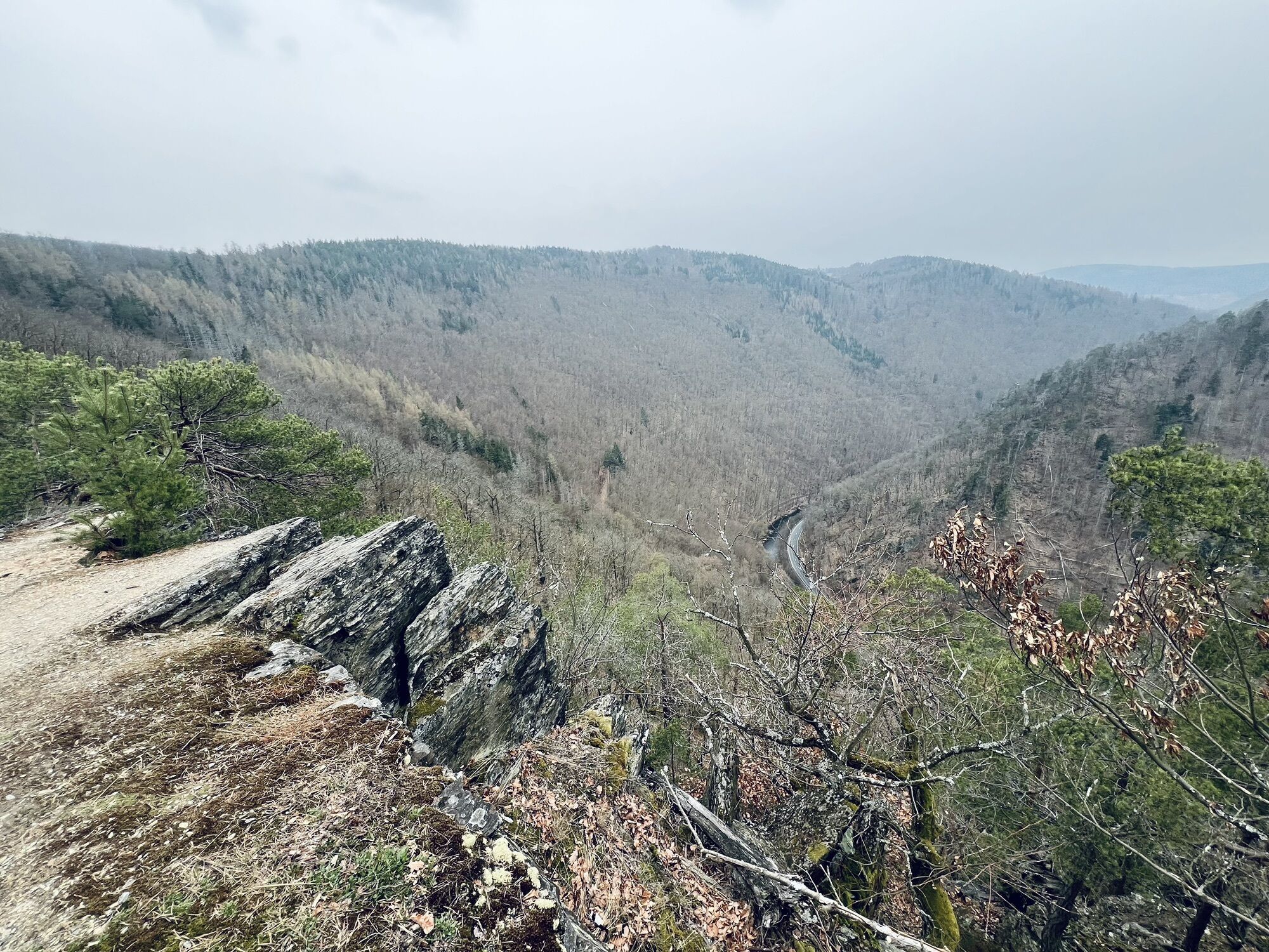
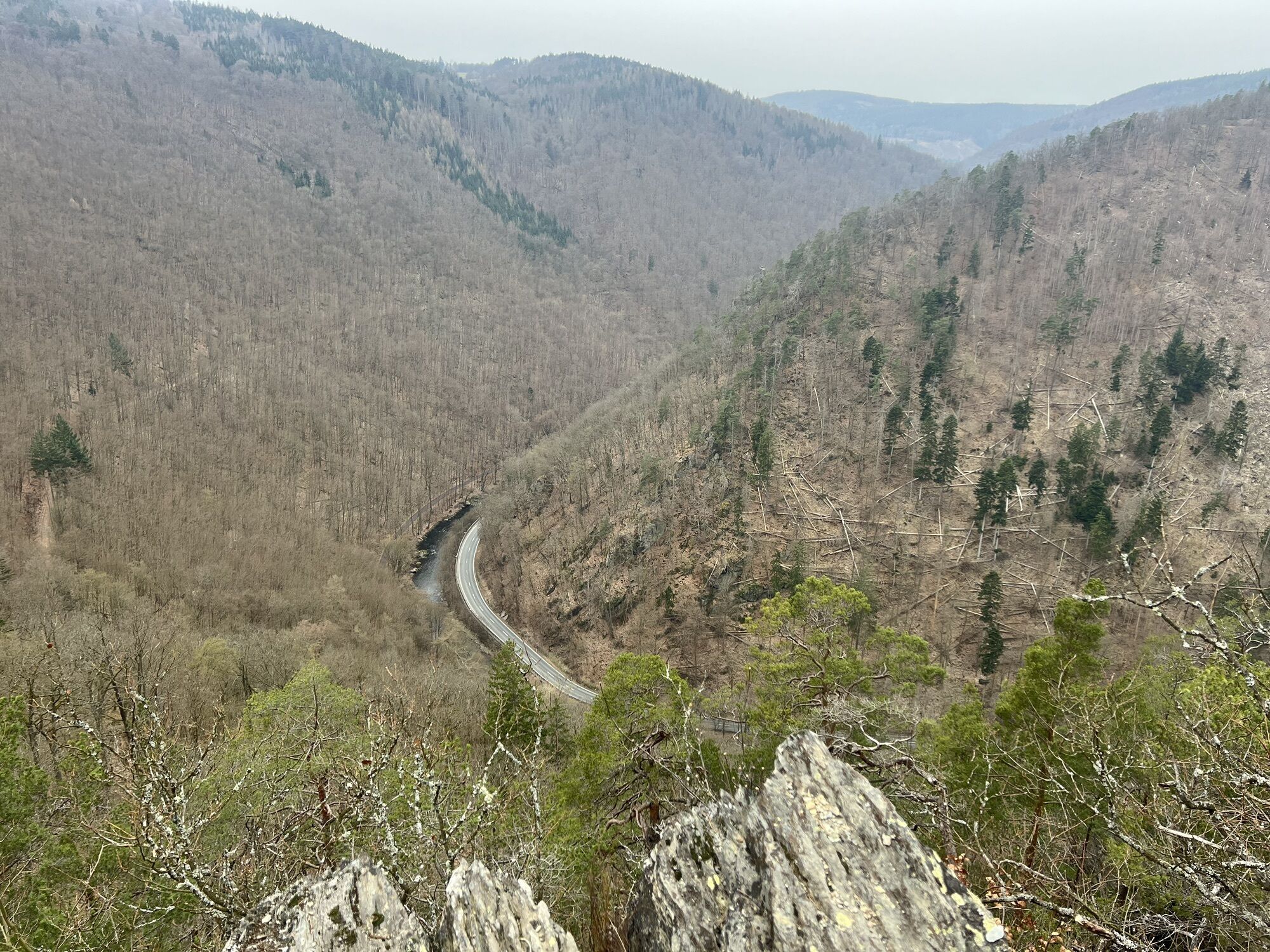
This route is really challenging and pushes you over about 8.4 km - you overcome a little more than 260 meters of elevation. But enough to scare you at the start, those who are not afraid of the steep climbs will be rewarded with fantastic views of the picturesque Schwarzatal.
Hiking stamps On these circular trails, you can collect digital hiking stamps for your personal hiking certificate. At the marked stamp points, scan the respective QR code with your smartphone and add the location to your stamp account via the generated link. You can also collect the hiking stamps without a smartphone. Instructions can be found on site on the QR code signs. All stamp points are directly on the trail!
And the special thing:
The KomBus hiking buses bring you quickly and comfortably to the starting point of your hike!

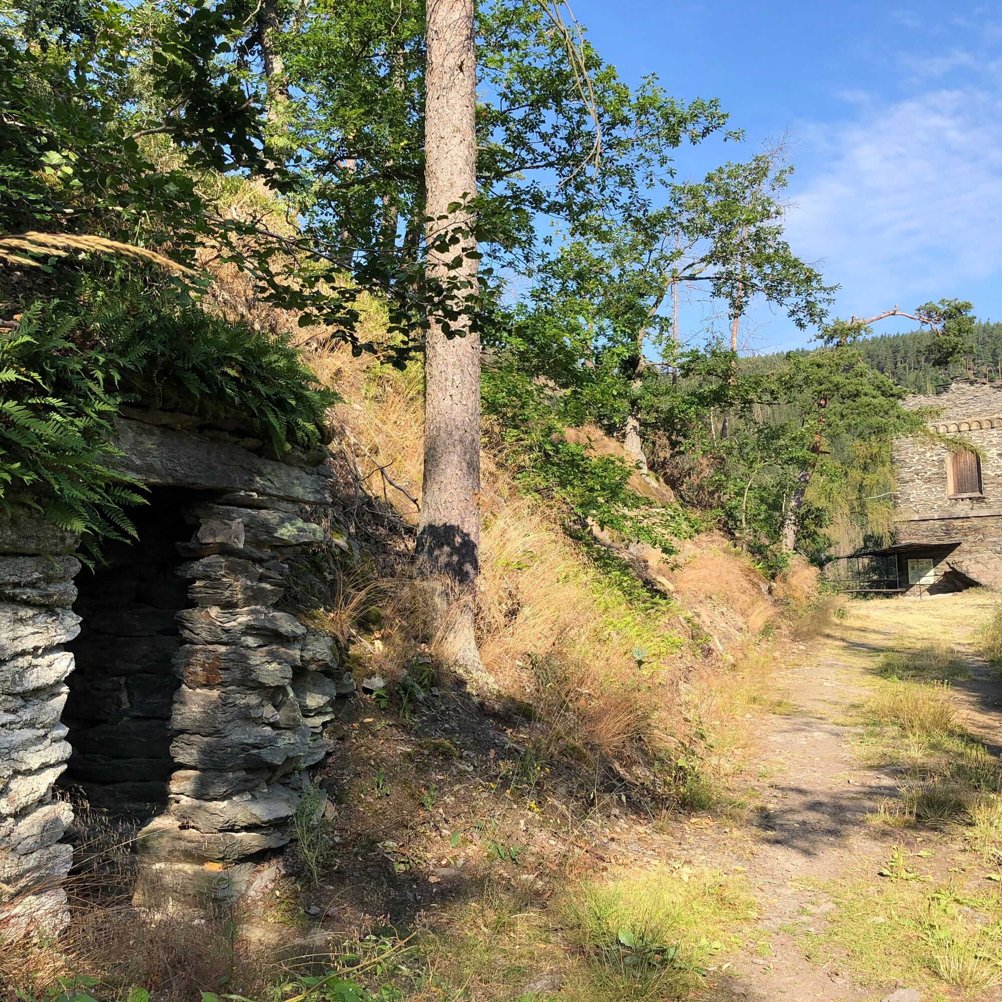
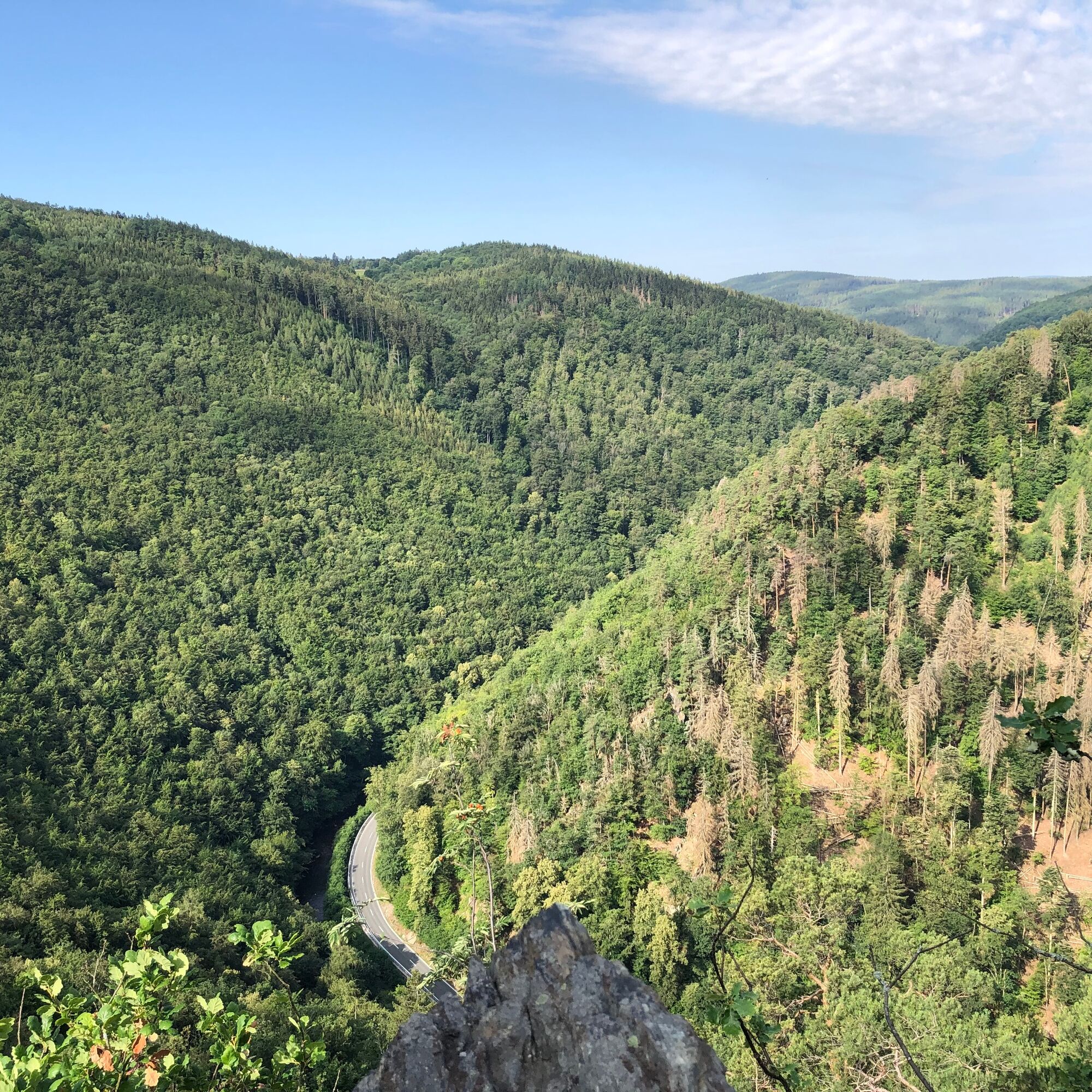

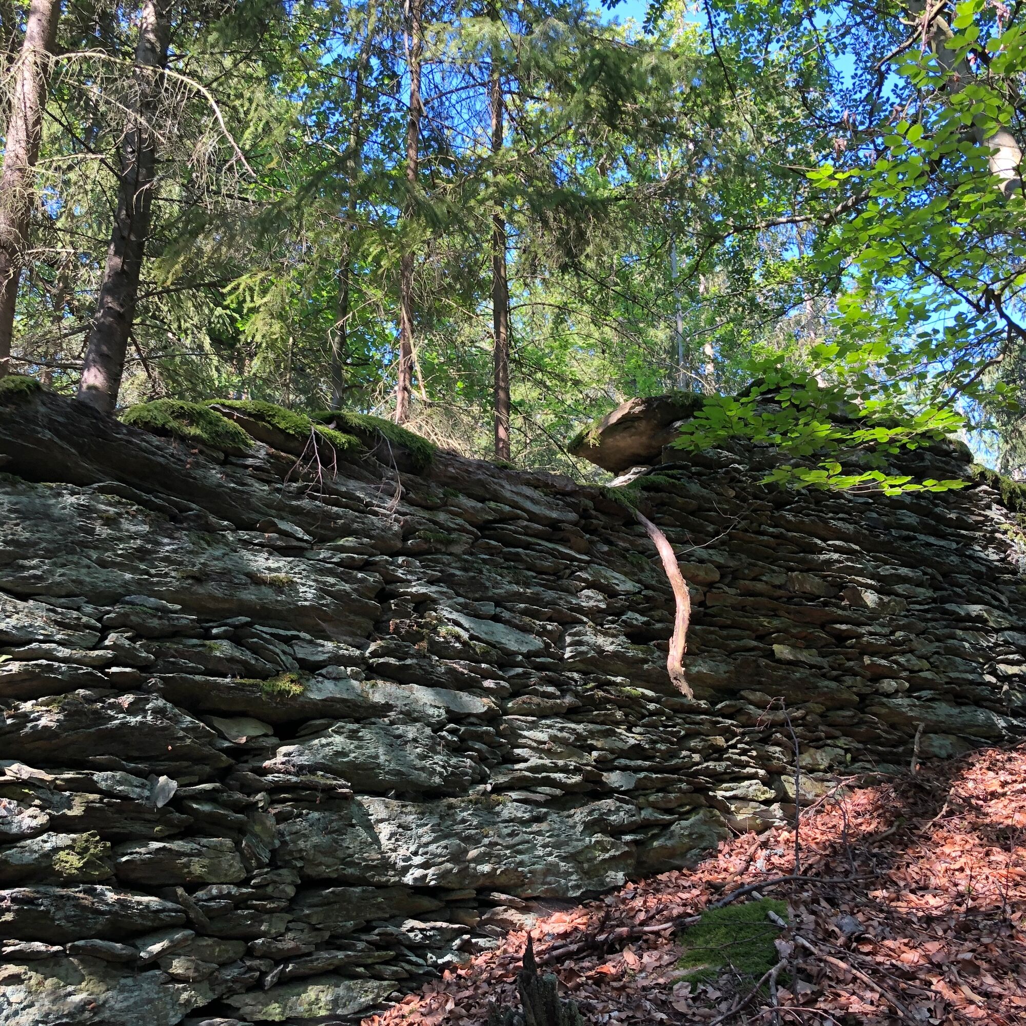

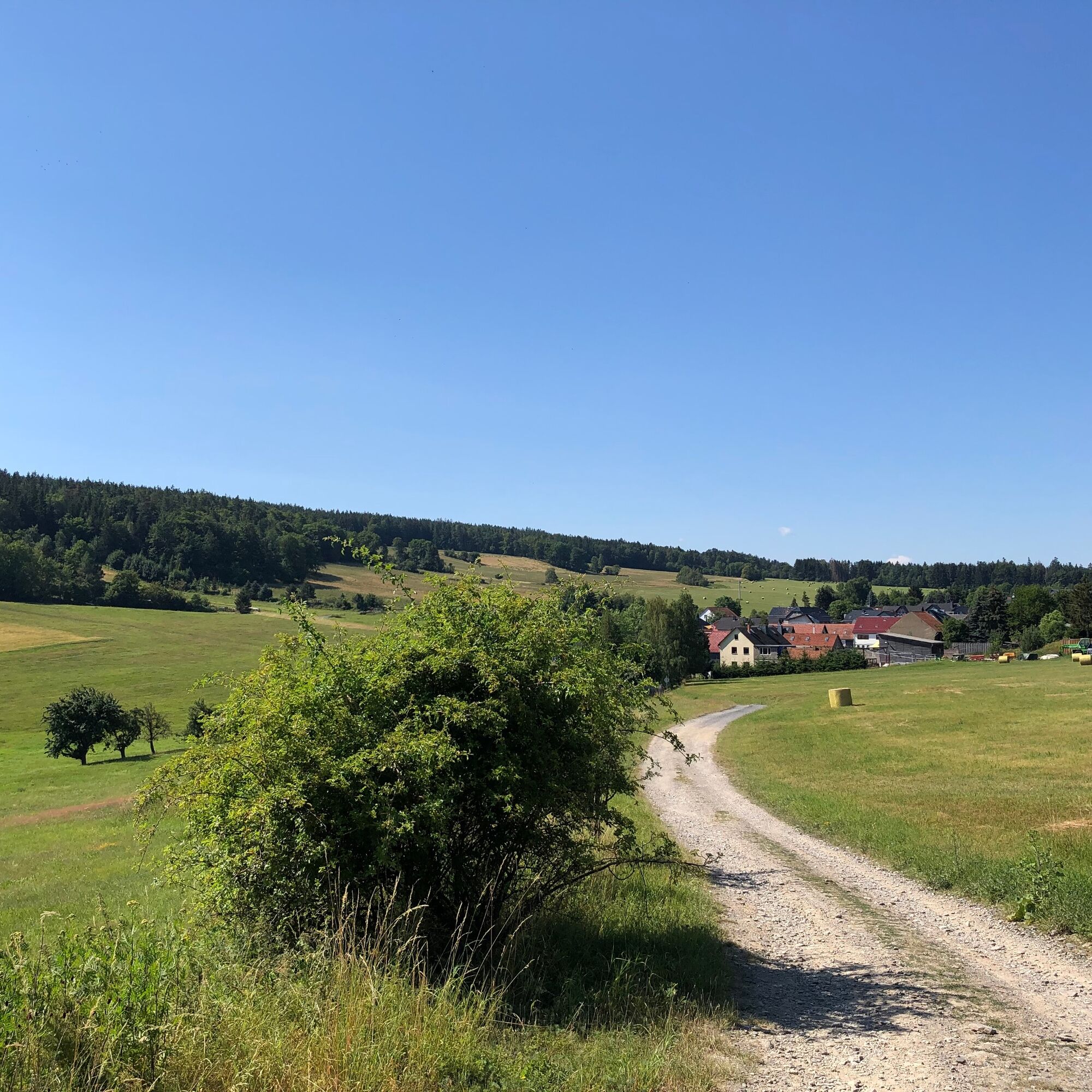
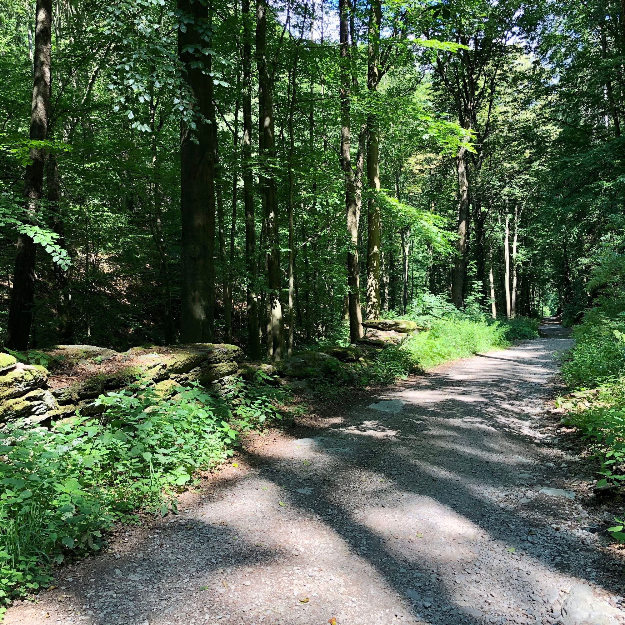
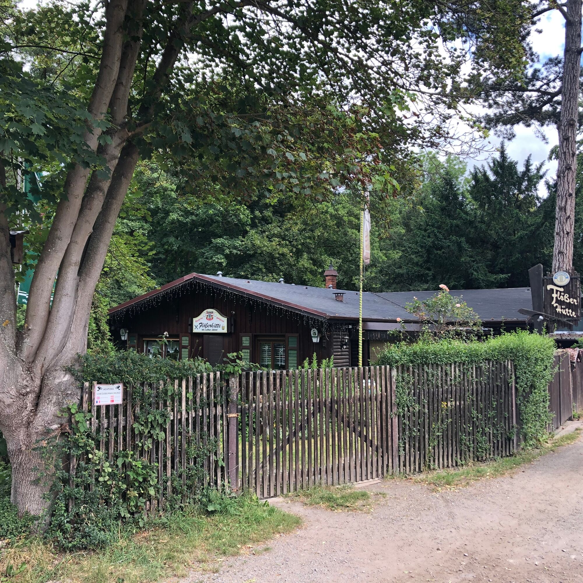
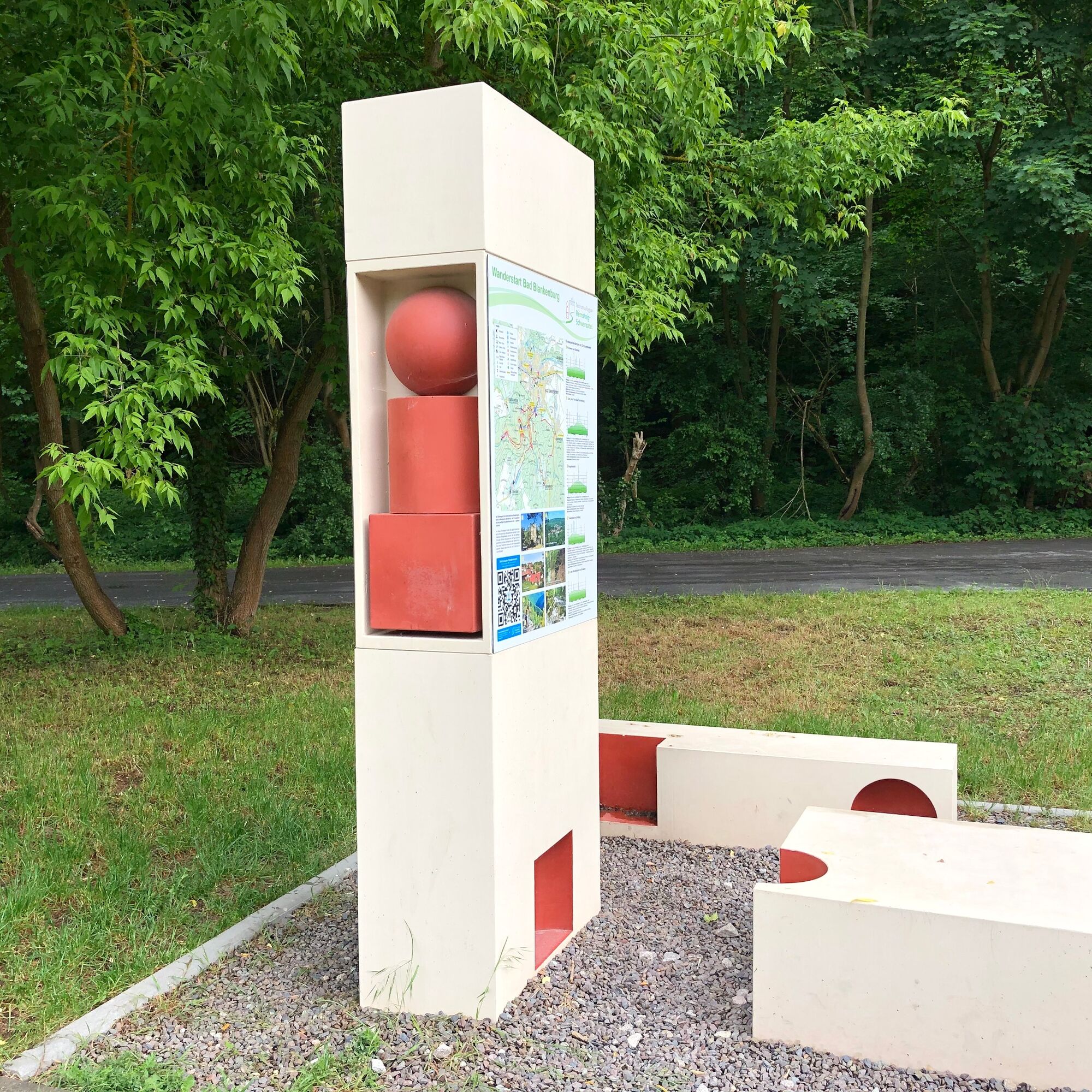

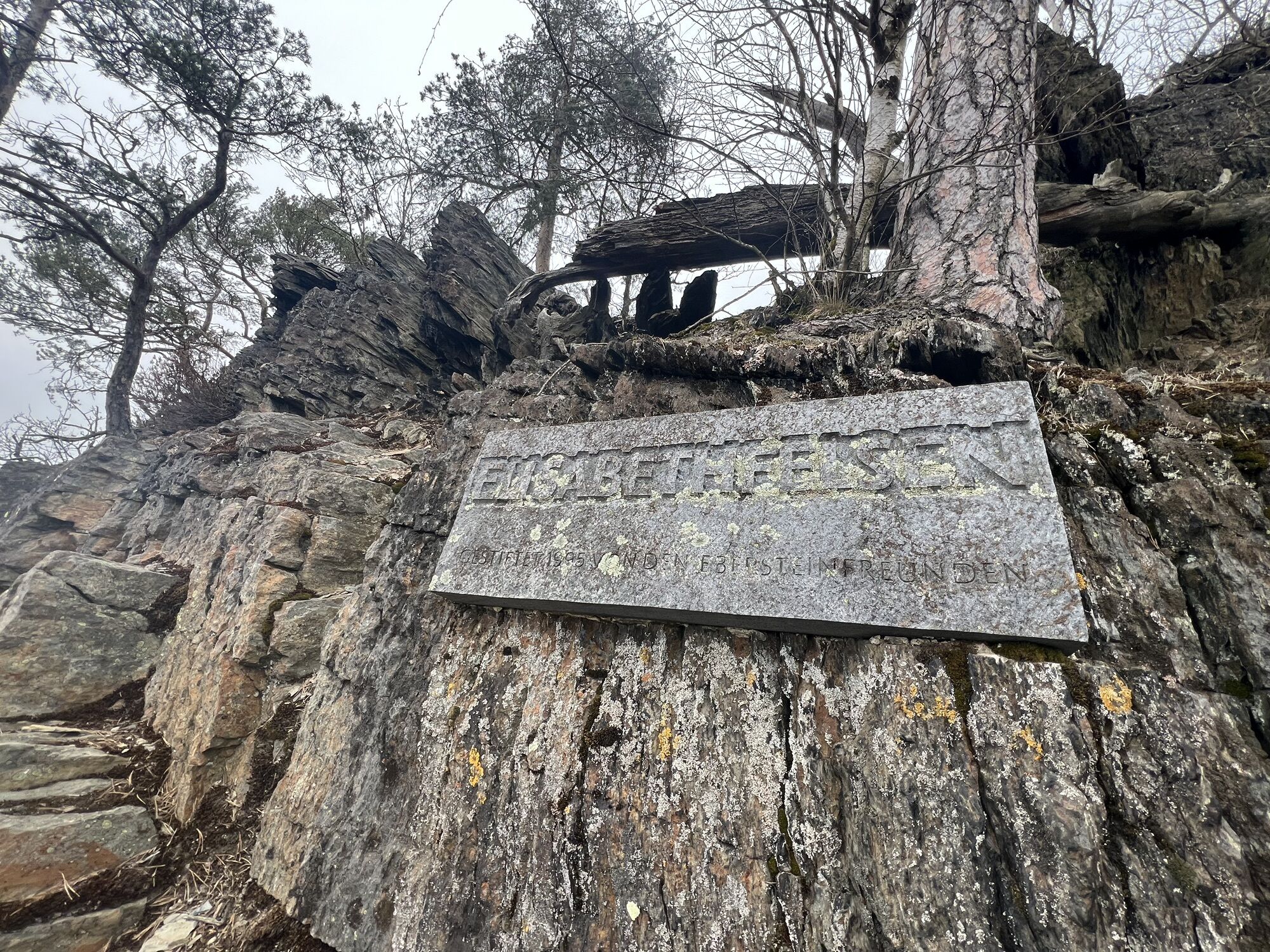
The start and end point of this route is the hiking start at Chrysopraswehr. From here, you first follow the riverside path to the trout breeding station and then follow the signs towards Eberstein. The Eberstein, an abandoned hunting lodge of the Prince of Schwarzburg-Rudolstadt, offers a great panoramic view over the picturesque landscape of the Schwarzatal at any time of year. From here, you now ascend the mountain in a zigzag pattern for 1.4 km to the Elisabethfelsen. Once at the top, you will be rewarded for the effort with a wonderful view over the Schwarzatal. Then you continue through mixed forests to Dittersdorf. On the way, you can still see the remains of the former game enclosure.
From Dittersdorf, follow the Dittersdorfer Werre downhill towards the Werretal and from there continue back to the starting point of our route towards Bad Blankenburg.
Route:
Hiking start – Waidmannsheil – Eberstein – Elisabethfelsen – At the Hünenkuppe – At the Oak – Dittersdorf “At the Cemetery” – Dittersdorfer Werre – Werretal downstream to the hiking start
Ano
sturdy footwear
rainwear
GPS navigation device or smartphone
drink supply
first aid kit
Always stay on the marked hiking trails and be aware of the typical forest hazards.
Coming from the A71, take exit 14b (Stadtilm) and then continue on the B90n towards Rudolstadt. In Rudolstadt, switch to the B85 / B88 and drive south towards Saalfeld / Bad Blankenburg. Immediately at the Schwarza confluence, B88 turns right towards Bad Blankenburg. Turn left at Bad Blankenburg station into Wirbacher Straße and from the outdoor pool follow Dittersdorfer Weg.
You can easily reach Bad Blankenburg by DB Regio and Erfurter Bahn trains. Just use this link for travel planning:
Travel to Bad Blankenburg in the DB Travel Planner
You can reach the hiking parking lot after a short walk along the Schwarza, past the outdoor pool through the spa park.
The hiking start in Bad Blankenburg is located at the entrance to the Schwarzatal, more precisely at the hiking parking lot at Chrysopraswehr ( Google NAV point ).
Tourist and Service Center
(Main entrance Stadthalle)
Bahnhofstr. 23 | 07422 Bad Blankenburg
Tel. 03 67 41 - 26 67
Enjoy the wonderful view during a short break at the Elisabethfelsen.
Oblíbené prohlídky v okolí
-
4.8
Circular hiking trail - "To the most beautiful viewpoints" - Thuringian Forest
středníTuristika 12.8 km -
4.5
Circular route - “To the Strudel pots of the Schwarza” - Starting point at the Chrysopras weir - Bad Blankenburg
středníTuristika 9.01 km -
Circular hiking trail - "Sculpture Trail" - Hiking start Unterweißbach - Thuringian Forest
středníTuristika 24.4 km -
Circular hike - "Friedrich Fröbel" - Bad Blankenburg
heavyTuristika 14.1 km -
5.0
Meurasteine, Talsperre Leibis-Lichte
středníTuristika 13.4 km -
Panoramaweg Schwarzatal - Stage 1 Schwarza to Schwarzburg - Thuringian Forest
heavyTuristika 15.4 km -
4.0
Circular hike - "Round route 3" - start and finish country hotel Edelhof Kolkwitz - Thuringia
středníTuristika 9.42 km -
5.0
Kulm route
středníTuristika 9.39 km -
3.0
Circular route - "On archaeological trail of King Otto I." - Saale region
světloTuristika 6.55 km -
5.0
Circular hiking trail - Nature educational path Lichtenhain - Hiking start Lichtenhain
středníTuristika 8.08 km

Pěší turistika a stopování


Nenechte si ujít nabídky a inspiraci pro vaši příští dovolenou
Vaše e-mailová adresa byl přidán do poštovního seznamu.





