







Nature park path Meurasteine in the Thuringian Forest
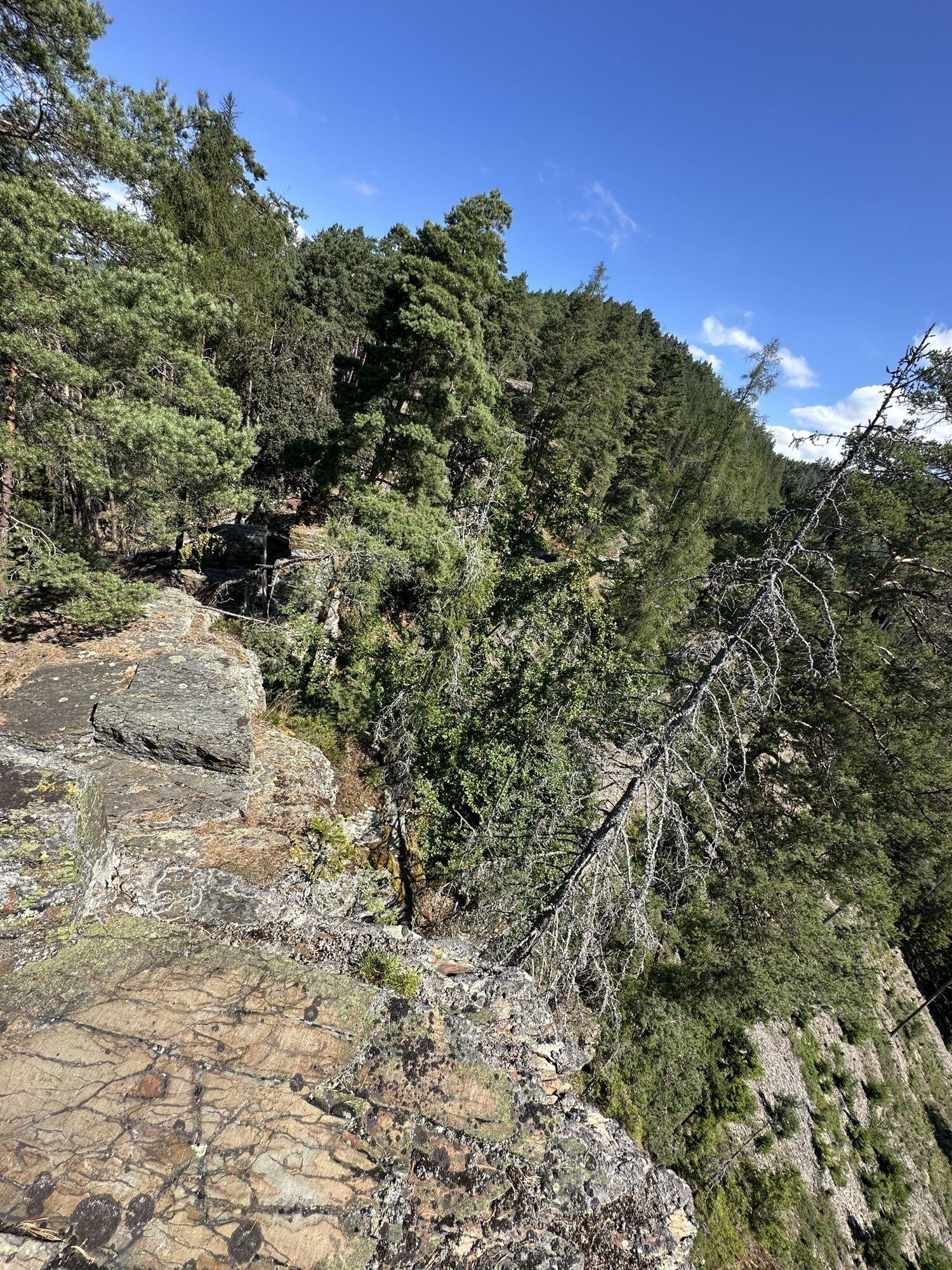
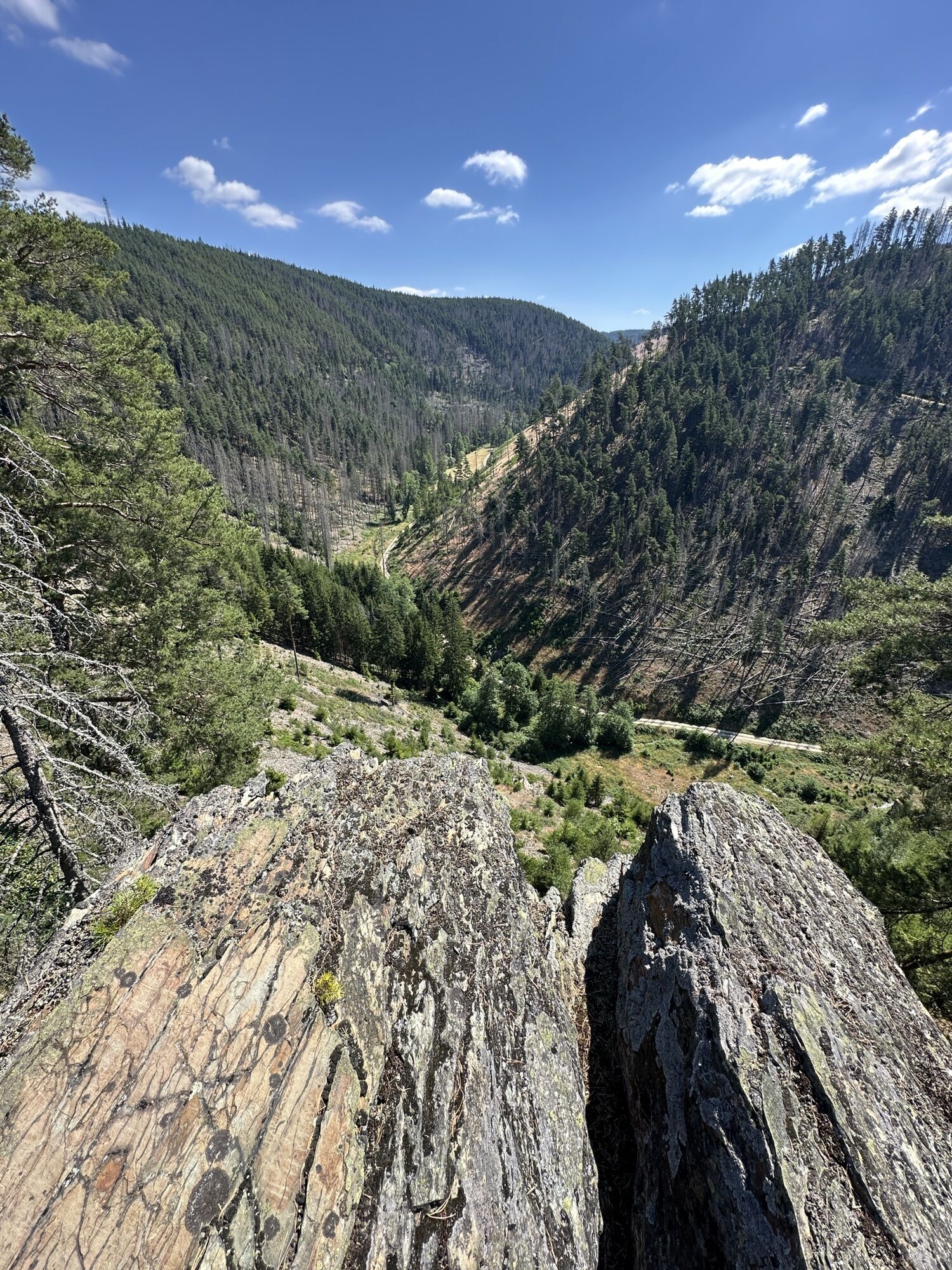
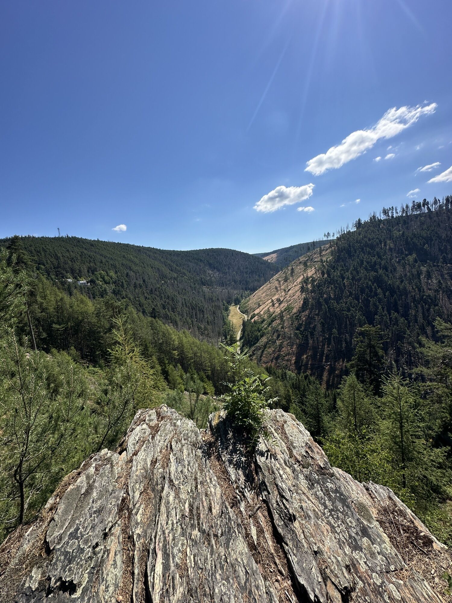
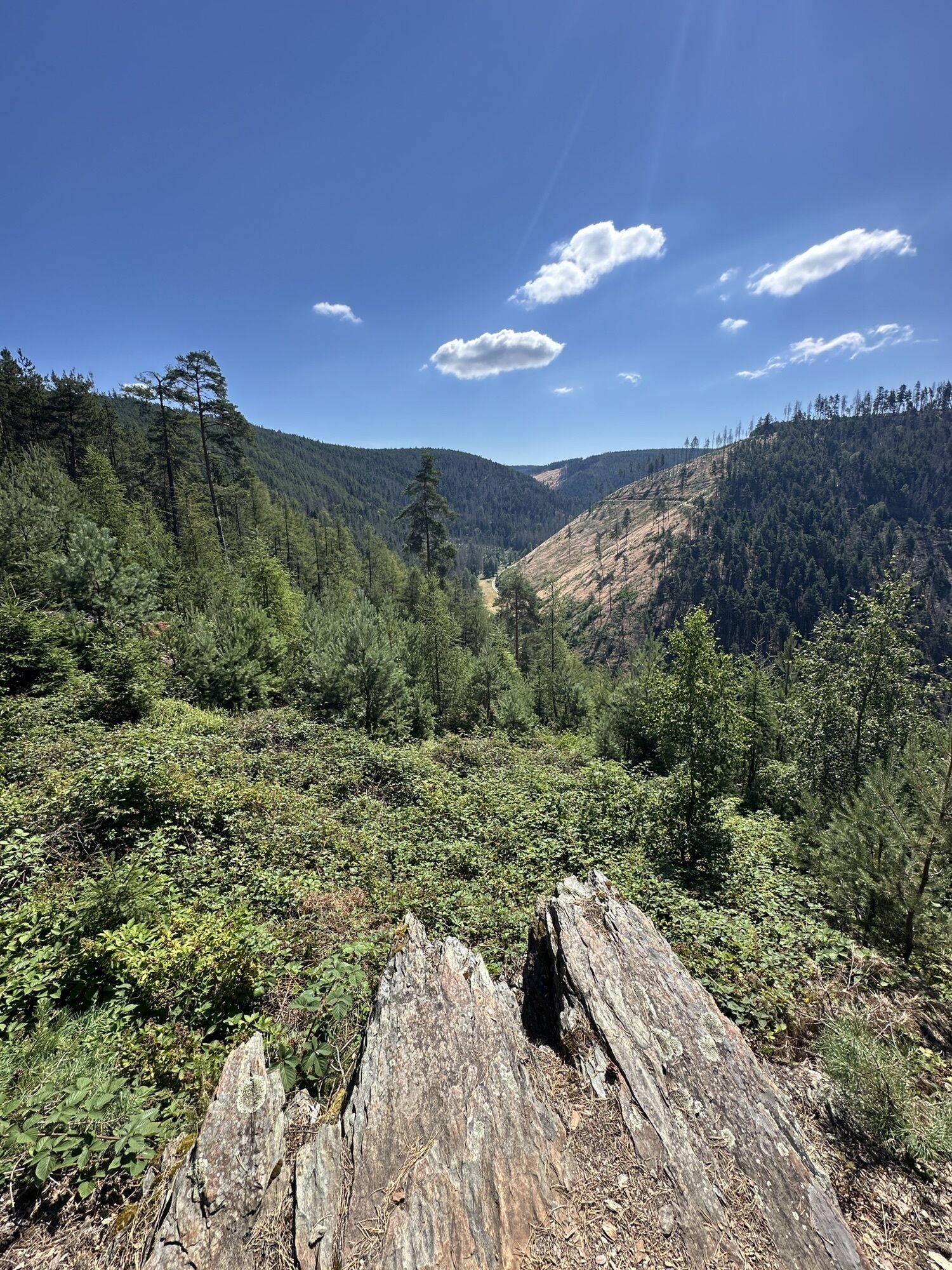
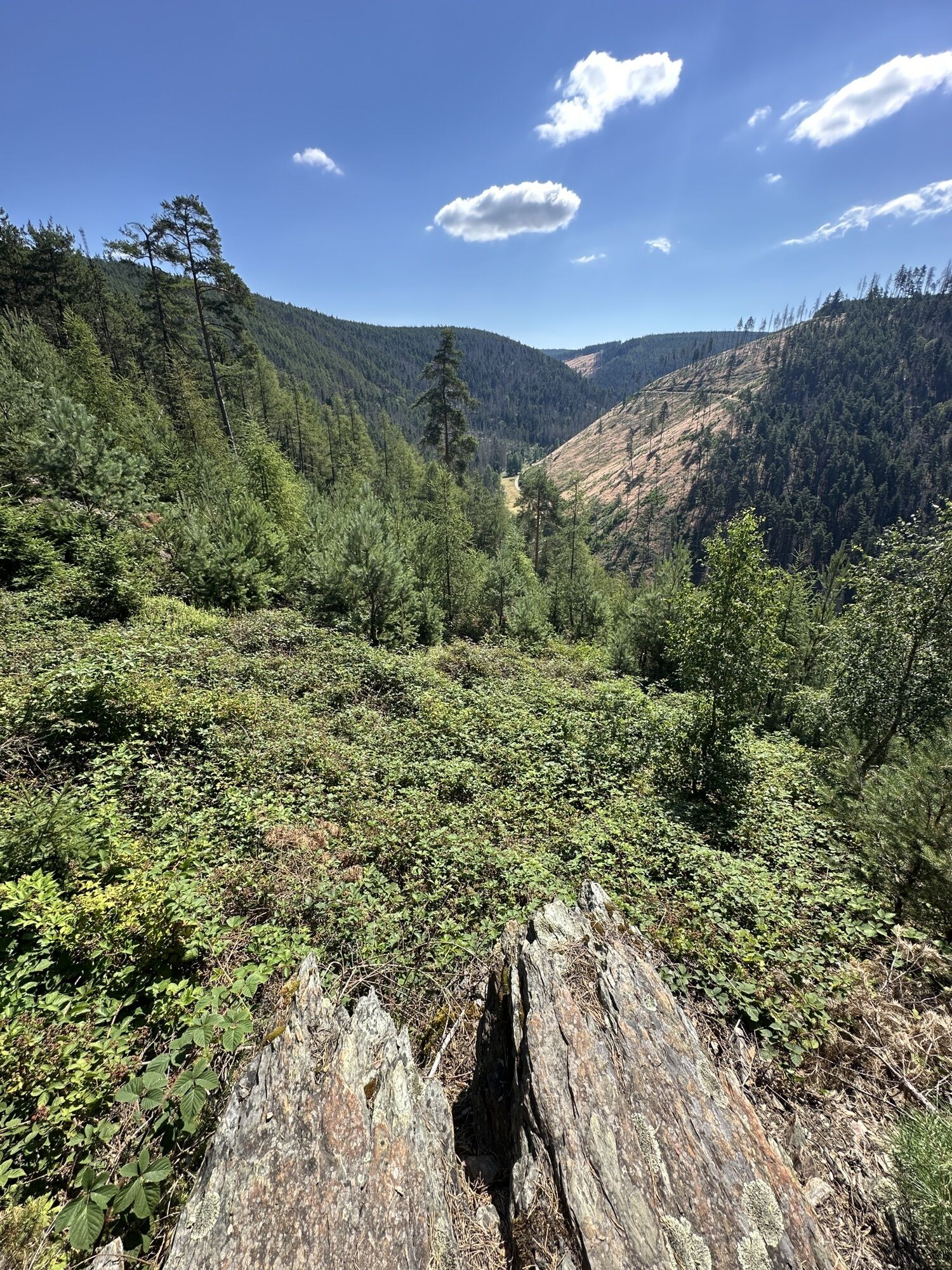
The challenging circular tour starts at the visitor center on the dam of the Leibis-Lichte drinking water reservoir and leads over 11.7 km and a total of 310 meters elevation to the secluded village of...
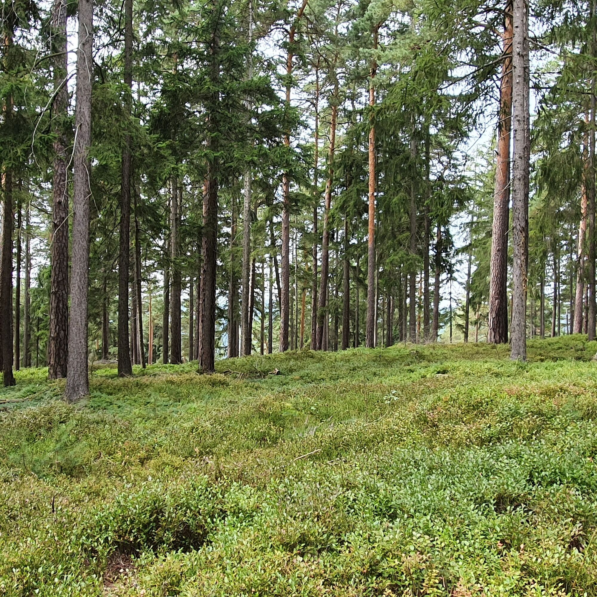
The challenging circular tour starts at the visitor center on the dam of the Leibis-Lichte drinking water reservoir and leads over 11.7 km and a total of 310 meters elevation to the secluded village of Meura in the Thuringian Slate Mountains. The village is home to the largest Haflinger stud farm in Europe. Horse paddocks accompany the hiking trail after the first steep ascent and crossing of the Meura heath is mastered. The near-natural coniferous forests and a rich dwarf shrub layer with cowberries and blueberries are the habitat of the shy capercaillie. The Haflingers, which have been bred here for decades, are less shy. Visitors will find accommodation and catering in Meura. A narrow rocky path leads down to the Meurasteine immediately on the outskirts. On the way back to the dam of the Leibis-Lichte reservoir, the hiking trail follows the fjord-like drinking water reservoir. Some spots offer wonderful views and places to rest.

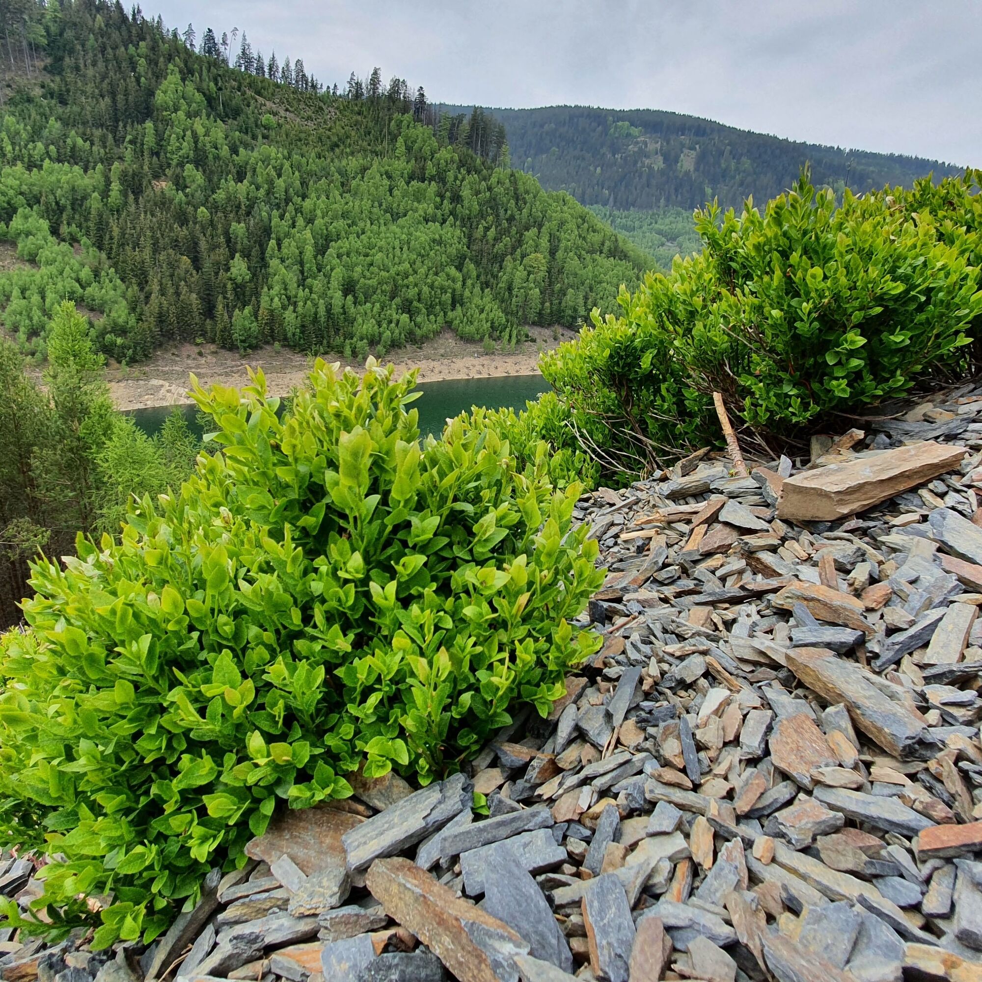
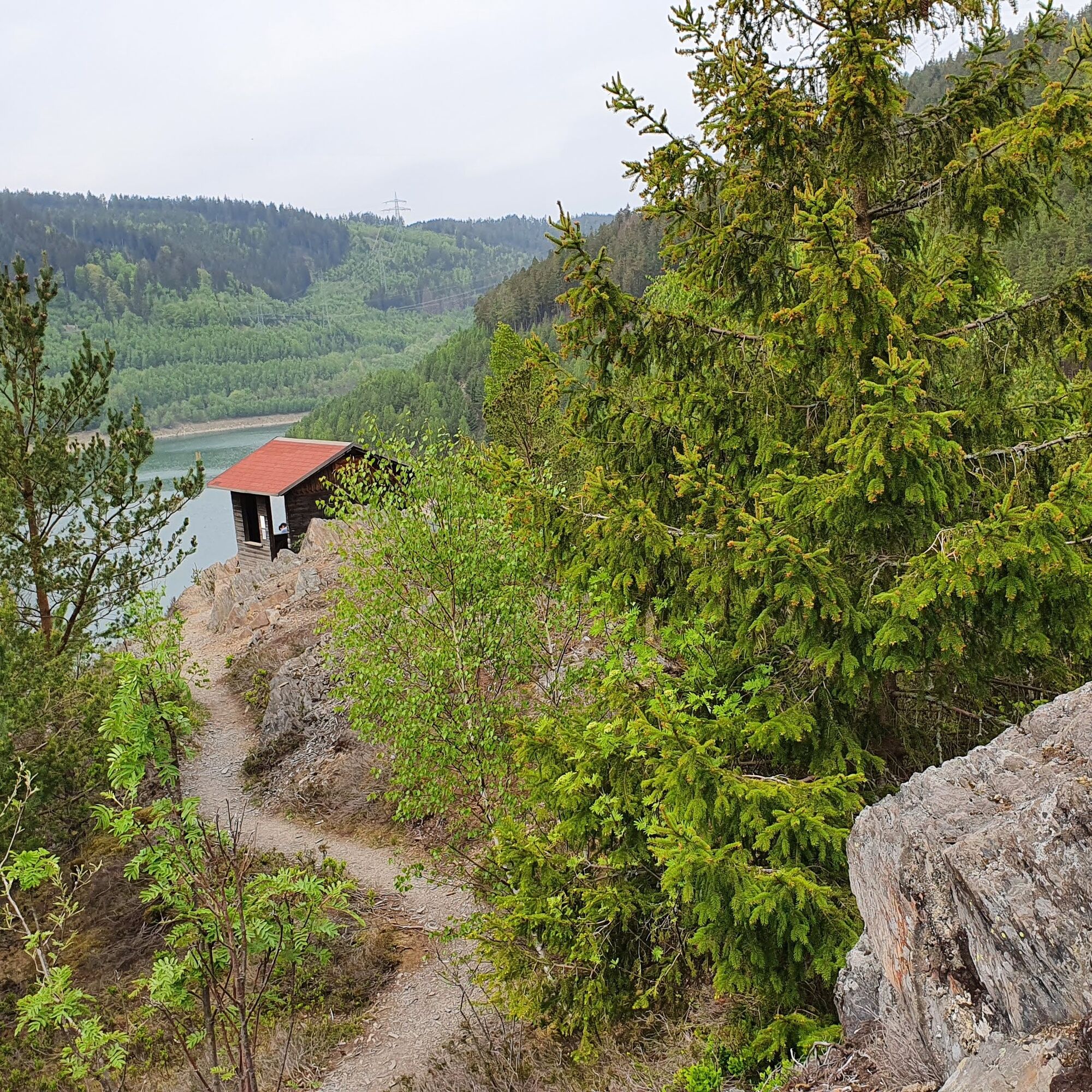
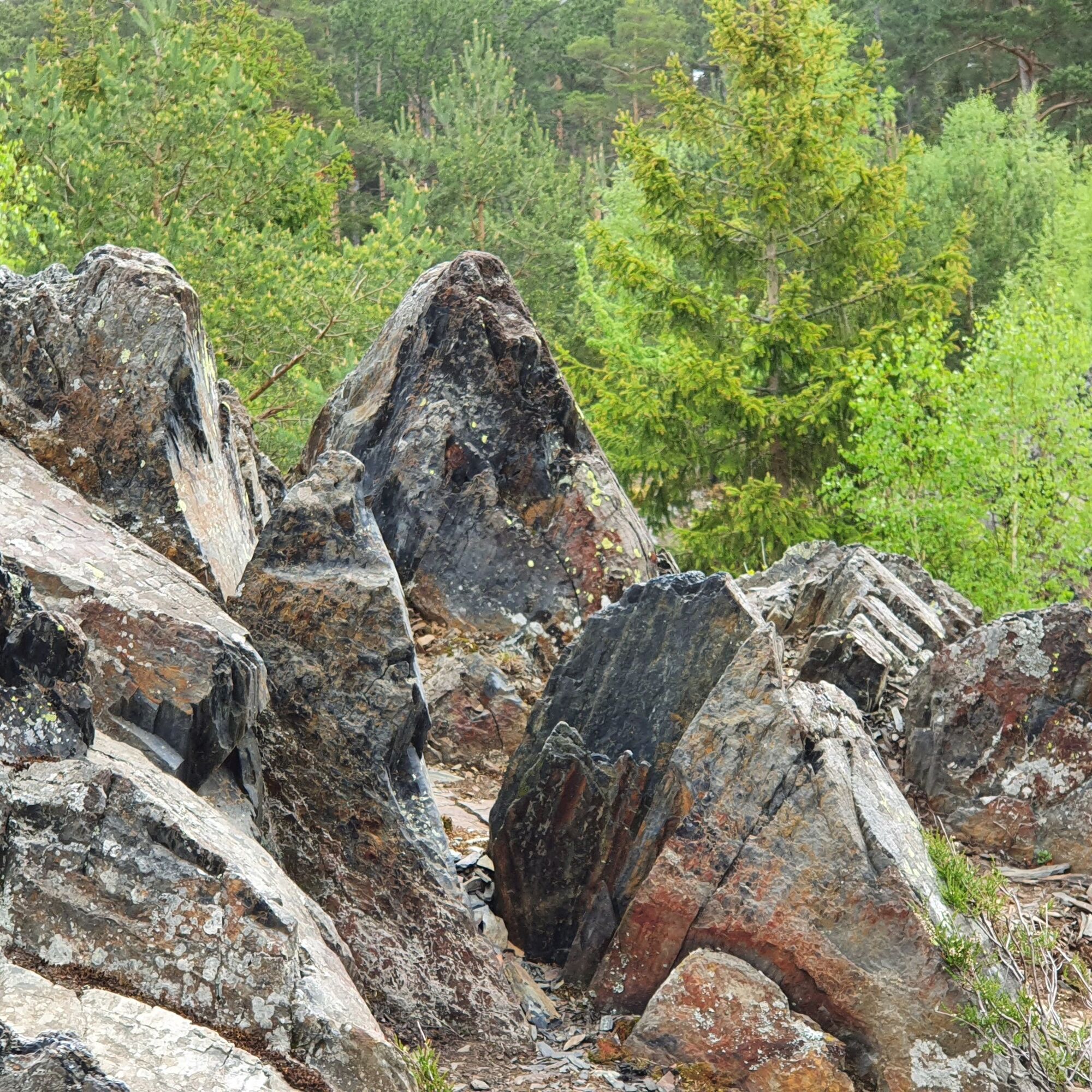
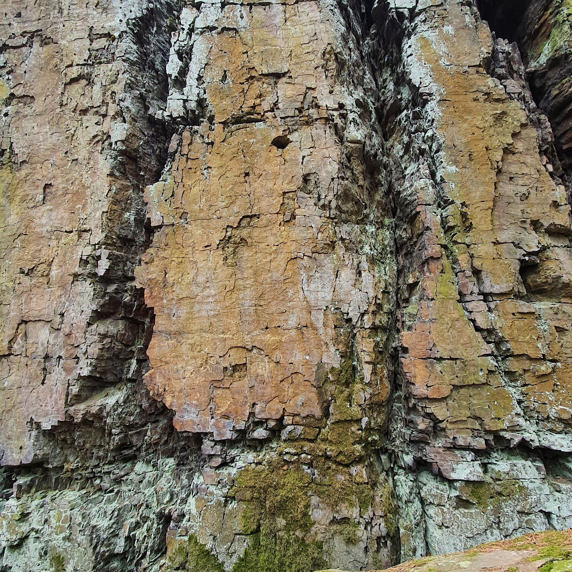
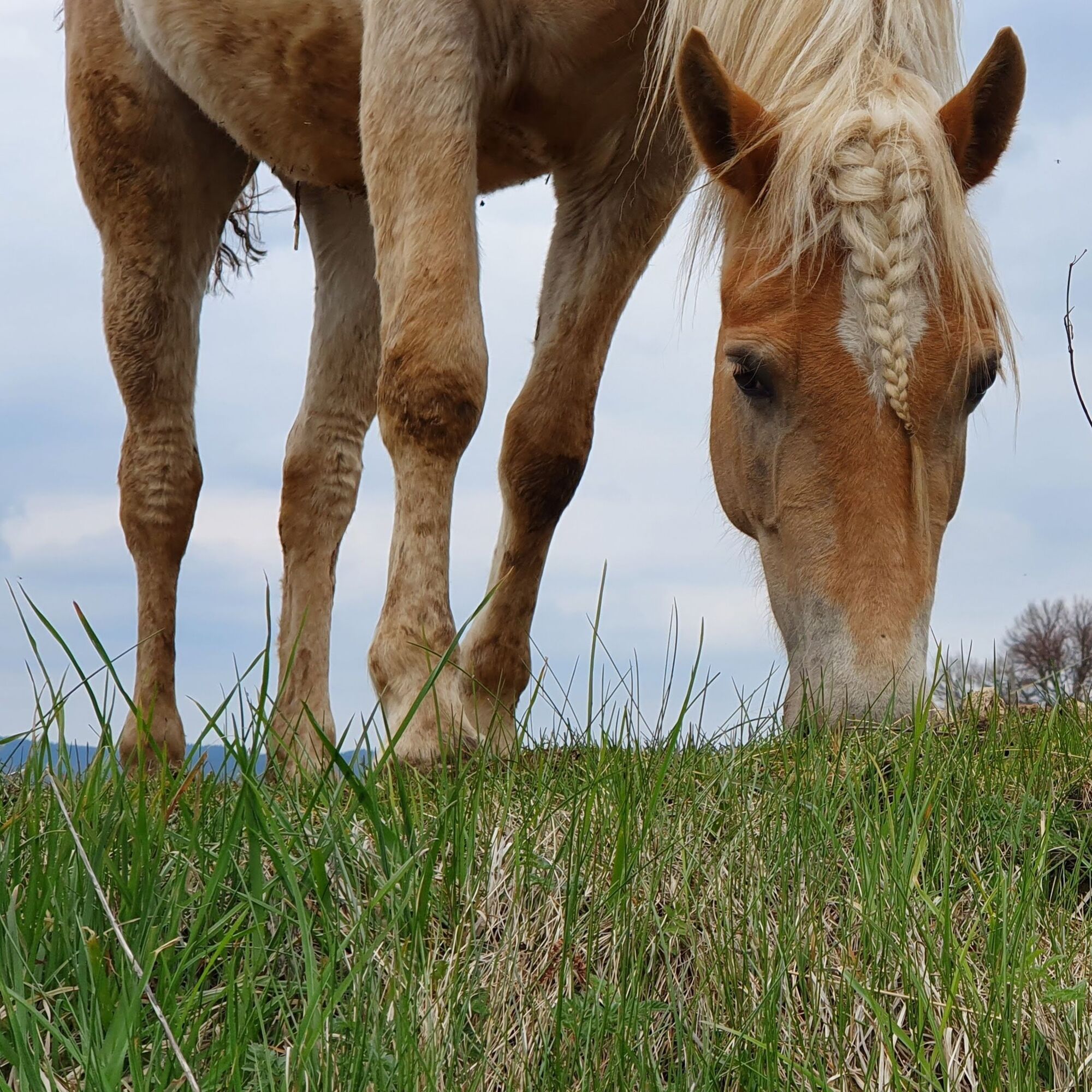
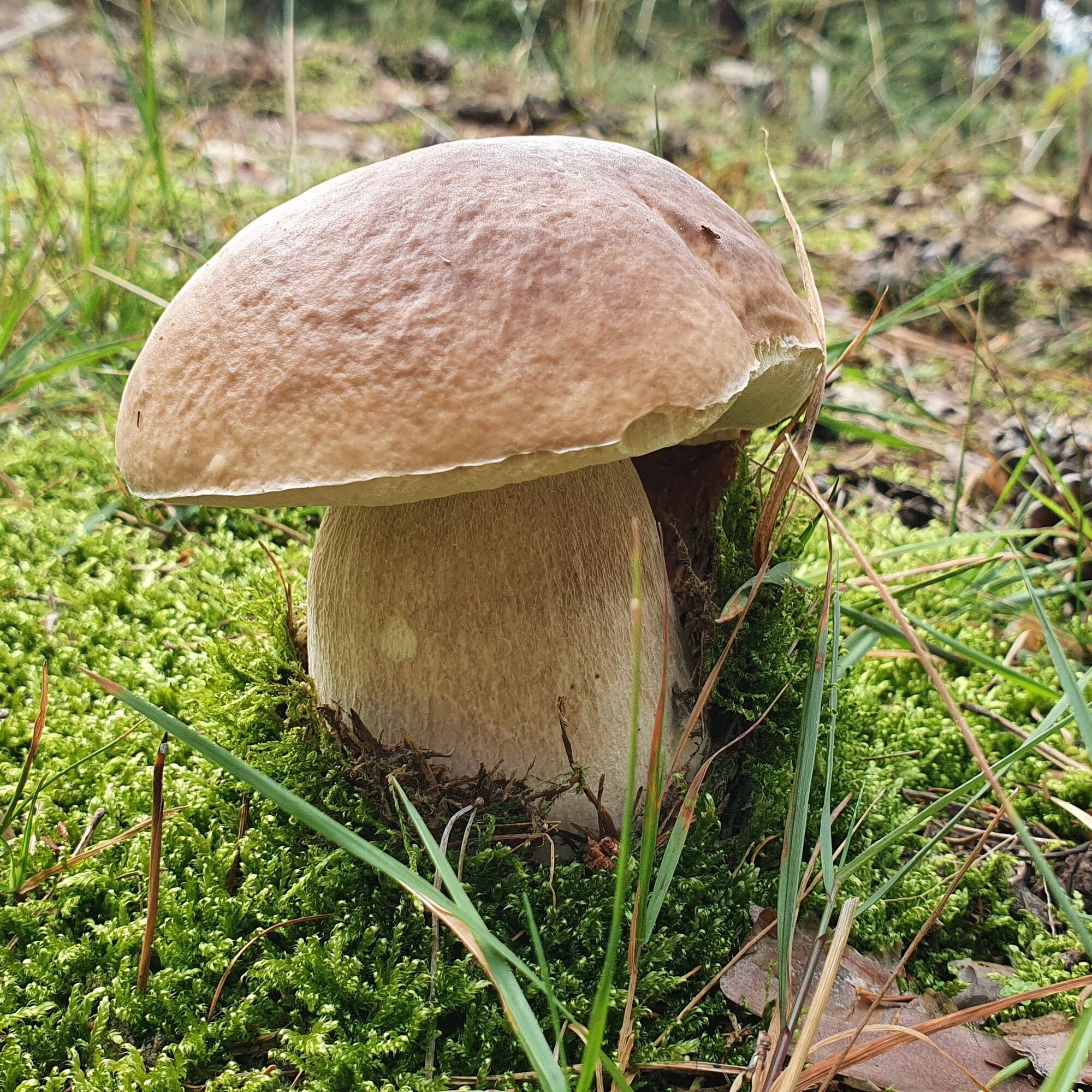
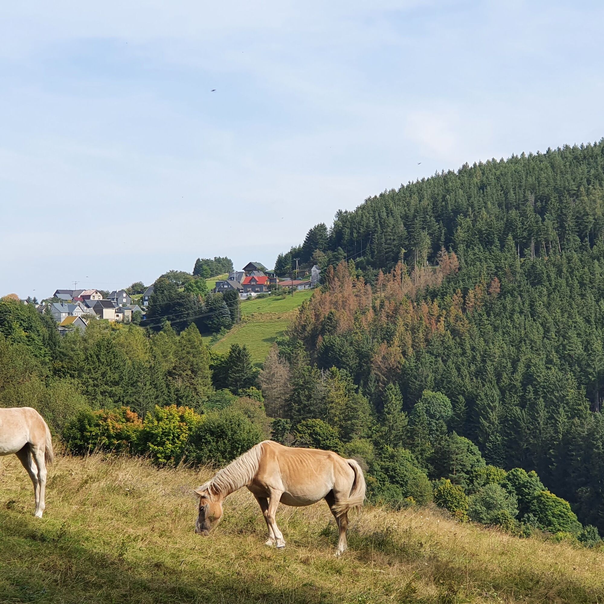
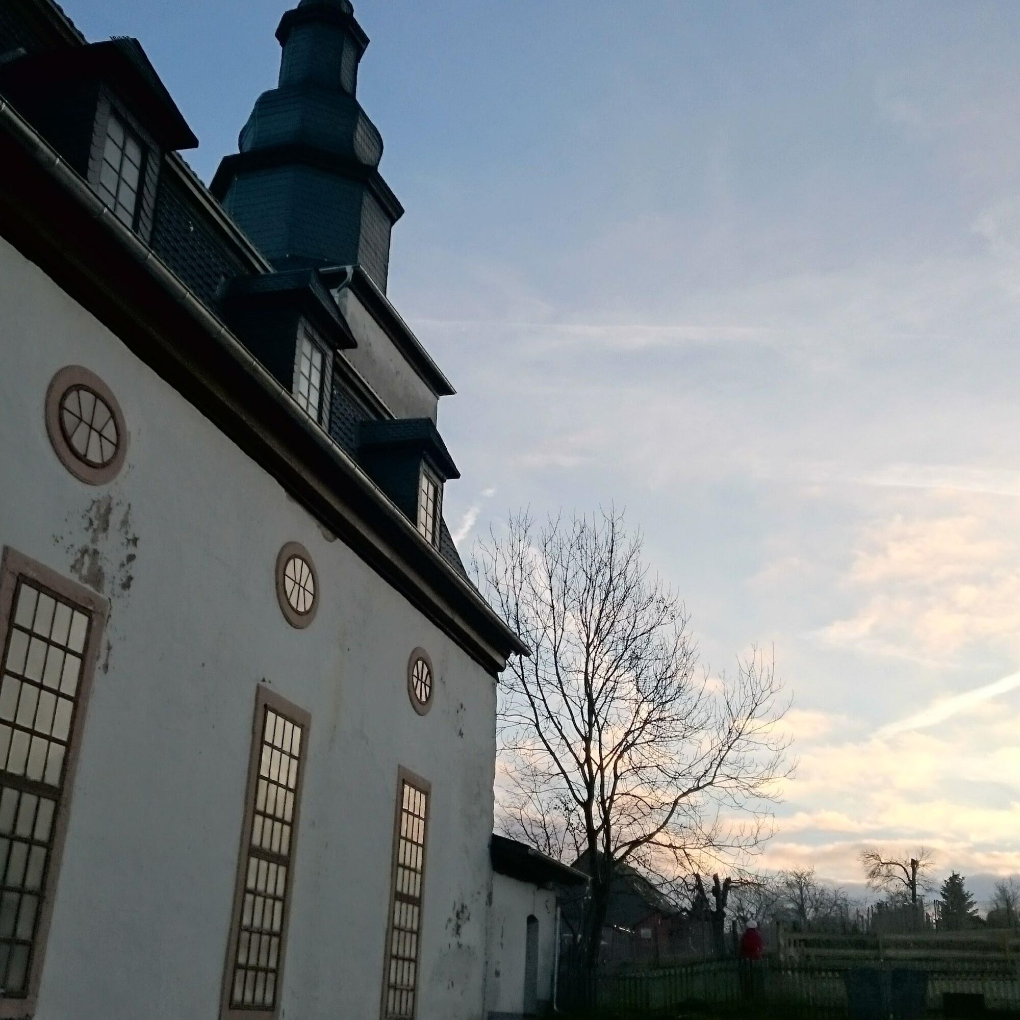



The rather challenging day route starts at the foot of the dam at the parking lot (+ 99 meters elevation and 0.8 km) or directly at the visitor center of the Leibis-Lichte drinking water reservoir and leads steeply uphill to Meura. Along the way, a detour to the Quelitzfelsen with a wonderful view is recommended. In the horse paddocks of the "Meure" the Haflingers graze in summer. A visit to the largest Haflinger stud farm in Europe is as worthwhile as a look into the village's baroque church. Over the steep village street lined with neat slate houses, the route leads to the impressive rock formations of the Meurasteine and their breathtaking views. Then it goes steeply downhill into the Schlagetal and along the reservoir, past wonderful viewpoints, back to the starting point. Crossing the dam, the second highest in Germany, promises pure excitement. At the dam, the visitor center of the Leibis-Lichte drinking water reservoir invites you for a short visit.
Ano
Ano
Good hiking shoes, rain protection, and sufficient provisions are indispensable on this tour.
Although the hiking trail is well marked and the places indicated, a hiking map, a GNSS device, or smartphone serve for safe orientation in the rocky terrain. The rocky paths are very slippery not only when it rains or snows. Stones can slip off or break away from the rocks. Please enter this area carefully.
The Leibis-Lichte reservoir is located in the Schwarzatal. The L1112 road runs through the Schwarzatal from Bad Blankenburg on the B85 in the north to Neuhaus am Rennweg on the B281 in the south. Both federal roads are connected to exits of the Thuringian Forest motorways A71 and A73.
The community of Unterweißbach is accessible by train and bus:
At the foot of the dam is the large free visitor parking lot:
Lichtetalstraße 95, 98744 Unterweißbach (https://goo.gl/maps/5XQTi8SZSFcdNAJC8)
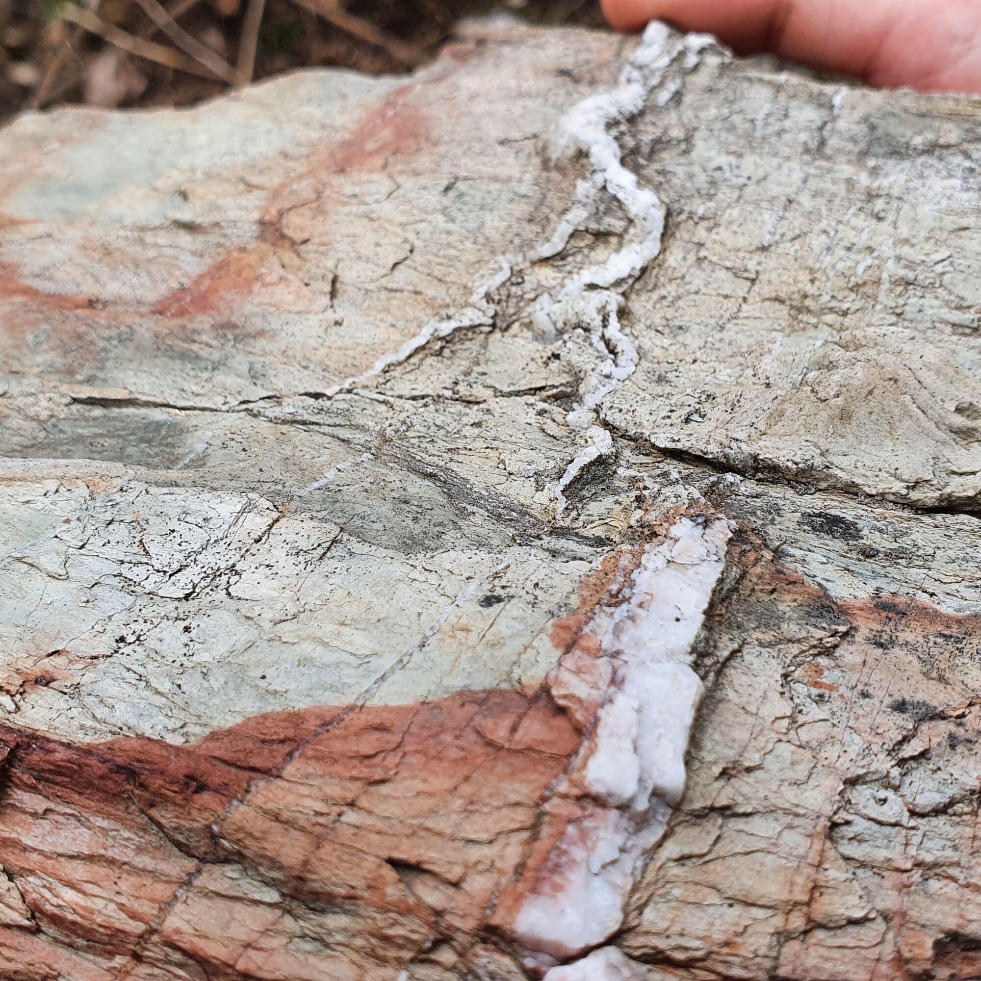
The highlight of the tour is the Meurasteine. These rock formations are impressive geotopes. Around them, you can find fossilized traces of phycodes. They bear witness to life in the primeval sea about 470 million years ago.
Získejte přehled
Vždy živě na místě s více než 9 500 webkamerami. bergfex Jako uživatel Pro si nyní můžete zobrazit odpovídající webové kamery pro mnoho prohlídek v aplikaci prohlídky z. Můžete si tak přímo prohlédnout aktuální podmínky.
Oblíbené prohlídky v okolí
-
4.8
Circular hiking trail - "To the most beautiful viewpoints" - Thuringian Forest
středníTuristika 12.8 km -
4.5
Circular route - “To the Strudel pots of the Schwarza” - Starting point at the Chrysopras weir - Bad Blankenburg
středníTuristika 9.01 km -
Circular hiking trail - "Sculpture Trail" - Hiking start Unterweißbach - Thuringian Forest
středníTuristika 24.4 km -
Circular route - "When Rennsteig meets the Schwarzatal panorama path" - Limbach
středníTuristika 9.68 km -
5.0
Meurasteine, Talsperre Leibis-Lichte
středníTuristika 13.4 km -
Circular trail - Saugartenpfad - Hiking start at Chrysopraswehr - Bad Blankenburg
středníTuristika 8.39 km -
Panoramaweg Schwarzatal - Stage 1 Schwarza to Schwarzburg - Thuringian Forest
heavyTuristika 15.4 km -
5.0
Circular hiking trail - Nature educational path Lichtenhain - Hiking start Lichtenhain
středníTuristika 8.08 km -
Circular hiking trail - To the Leibis/Lichte drinking water reservoir - Hiking start Lichtenhain
středníTuristika 12.7 km -
5.0
Bachtälchen Path - No. 1
světloTematická stezka 2.96 km
Pěší turistika a stopování


Nenechte si ujít nabídky a inspiraci pro vaši příští dovolenou
Vaše e-mailová adresa byl přidán do poštovního seznamu.





