







Panoramaweg Schwarzatal - 2nd Stage Schwarzburg to Cursdorf - Thuringian Forest
Úroveň obtížnosti: T1
On the first stage of the Panoramaweg you have already experienced the wonderful nature of the region. The journey through the Schwarzatal continues over heights and through picturesque valleys to the...
On the first stage of the Panoramaweg you have already experienced the wonderful nature of the region. The journey through the Schwarzatal continues over heights and through picturesque valleys to the end point of the flat section of the Oberweißbacher mountain railway in Cursdorf.
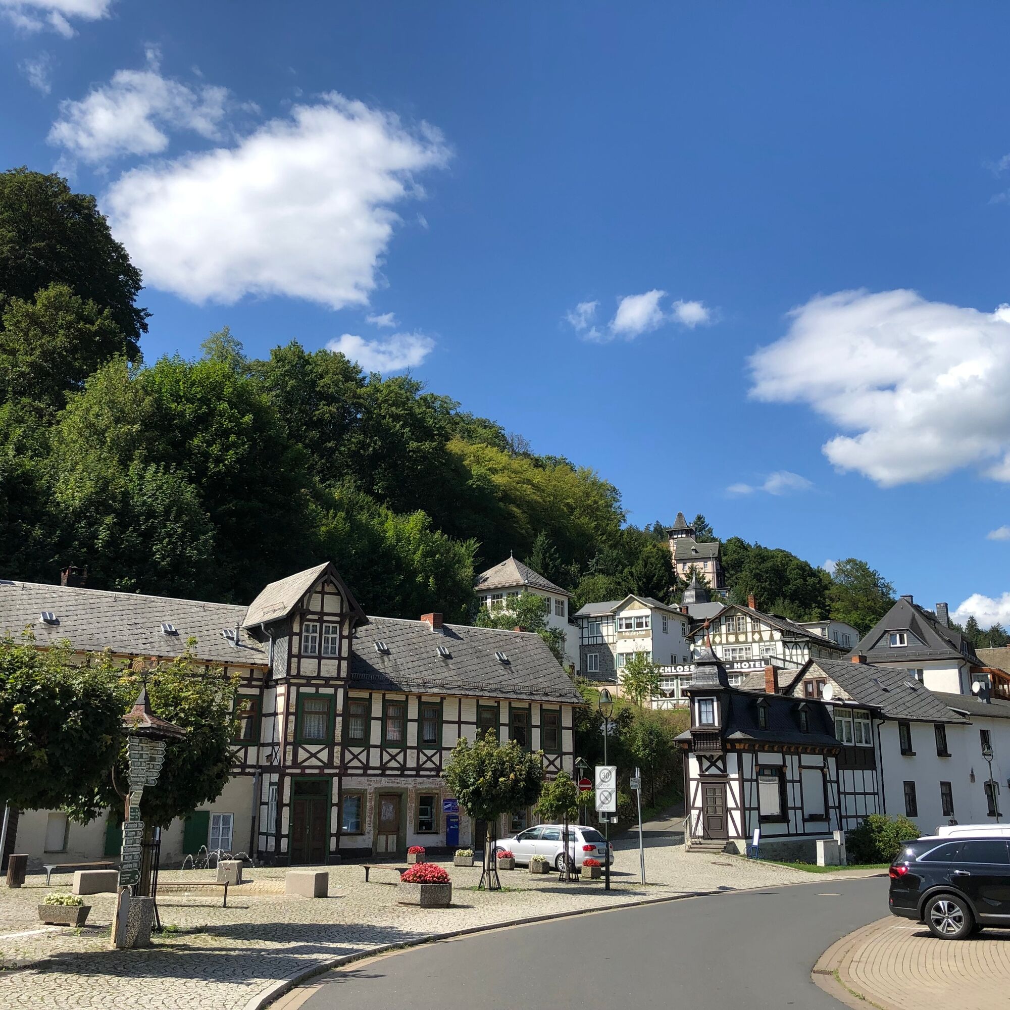
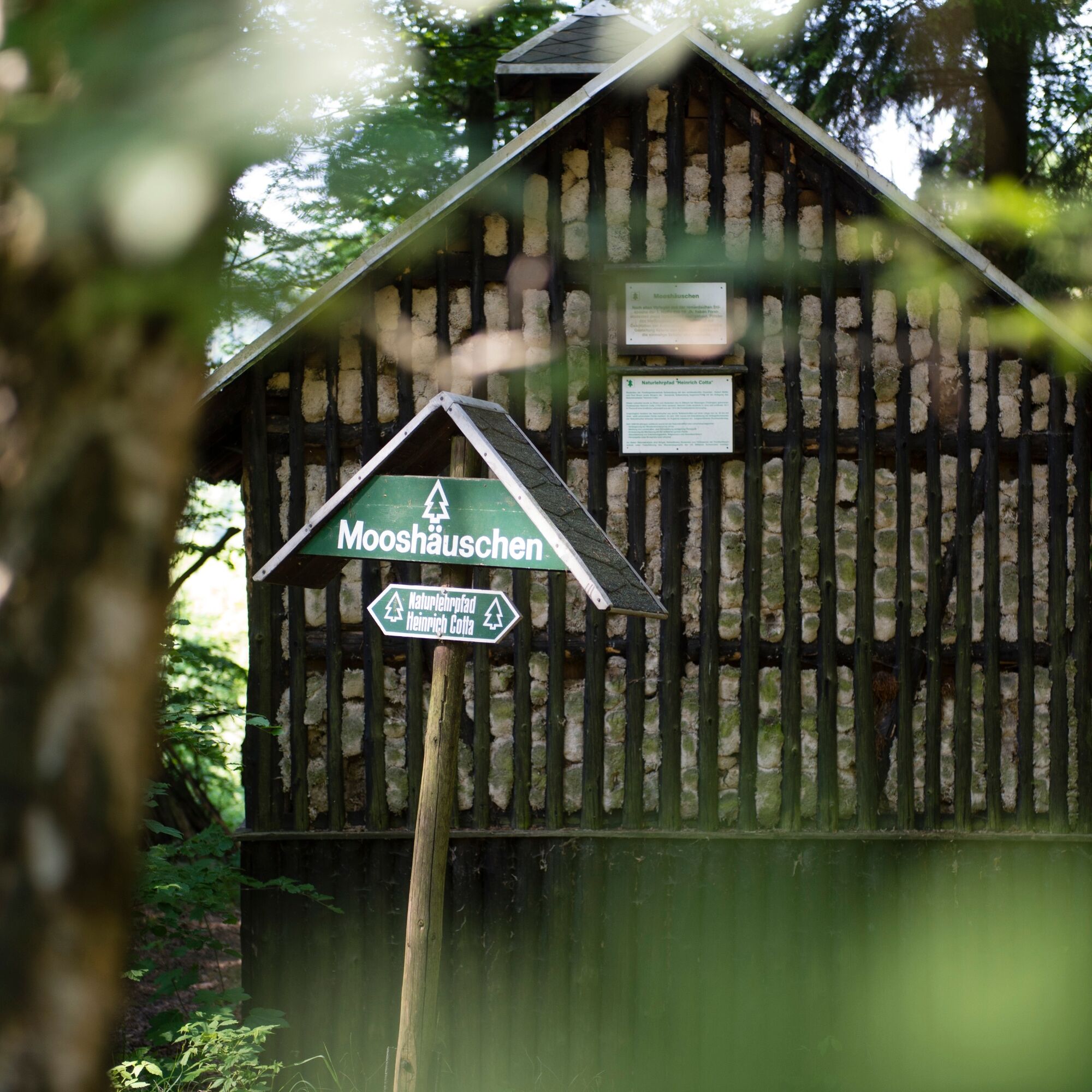
From Schwarzburg you walk over the Burgberg southwards down to the Mariannensteg. Here also branches a small path to the Schwarzburg outdoor swimming pool. In hot summer months you can wonderfully cool down in the small forest pool. Over the Schneideborn and the Mooshäuschen, past the dancing beech you reach the Sitzendorfblick. From here you have a wonderful panoramic view over the Sorbitzgrund and can see as far as Sitzendorf.
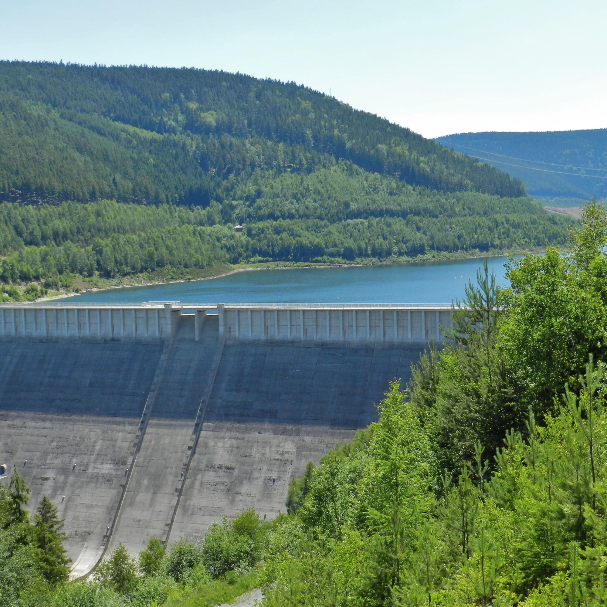
At Neu-Leibis you first leave the Schwarzatal and walk along the Lichte river towards Unterweißbach. After another ascent you reach a shelter hut. From here you have a good view of the more than 100 m high dam wall of the Leibis-Lichte dam.
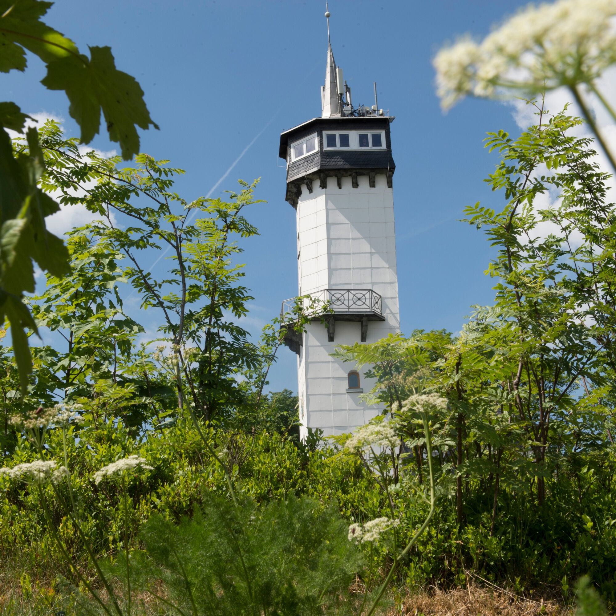
The Panoramaweg now continues steadily uphill past the Solwiese past another great viewpoint to the herb hut below the Kirchberg near Oberweißbach. Here the Panoramaweg runs on the herb educational trail towards Fröbelturm, which is also the highest point of this stage. The wonderful view over the Schwarzatal in the north and the hills towards the Thuringian Slate Mountains in the southeast rewards the hiker for the strenuous ascent.
At the end of the stage you walk down the avenue to Cursdorf.

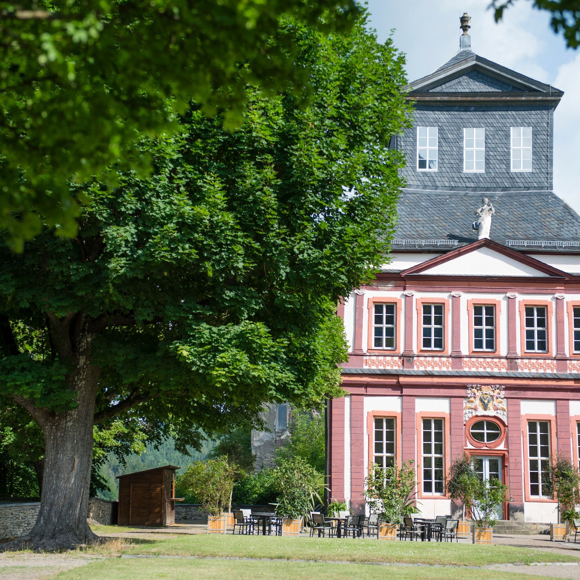
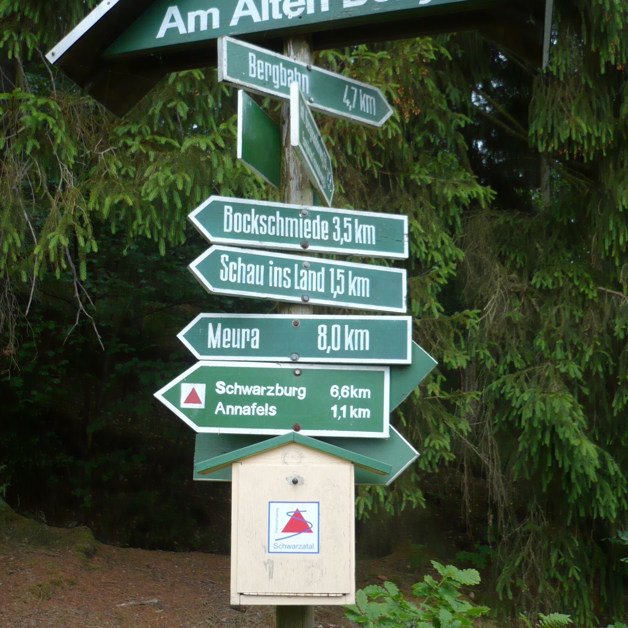
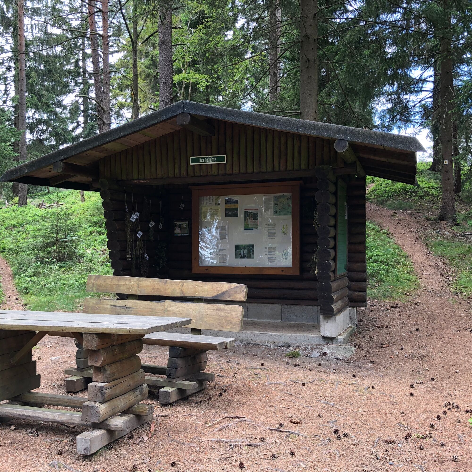
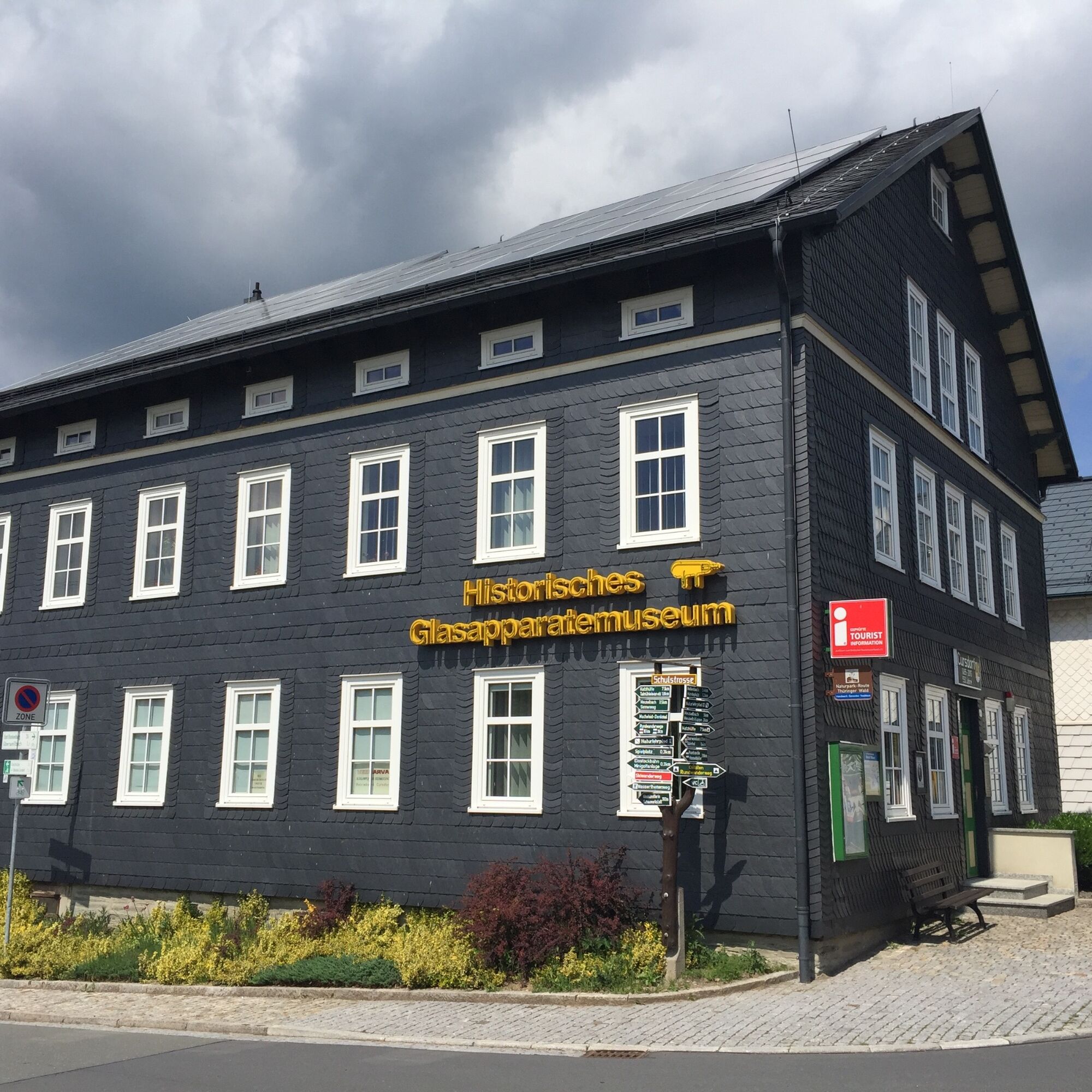

Schwarzburg - Mooshäuschen - Sitzendorfblick - Annafels - Blechhammer - Unterweißbach - Pavillon LIchtestausee - Felsenhäuschen - Fröbelturm - Halt Cursdorf
Ano
Ano
Sturdy footwear, rain gear and a filled water bottle.
Trekking poles are also highly recommended for ascents and descents.
Please always pay attention to the weather-related restrictions and the trail quality.
Coming from the A73, exit 5 (Eisfeld-Nord) and continue on the B281 towards Neuhaus am Rennweg. Follow the federal road to Neuhaus am Rennweg and turn north in Reichmannsdorf into Meurastraße (L2654).
Follow the country road through Meura, Rohrbach to Sitzendorf. In the village, after crossing the Schwarza, turn right towards Schwarzburg
You can conveniently reach Schwarzburg by the Schwarzatalbahn. From the station walk eastwards into the valley. Immediately after the roundabout you will find the hiking trail.
From Cursdorf you can return with the historic powered railcars of the mountain railway (flat section).
Please use the parking facilities in the village or at the outdoor swimming pool (NAV POINT)
T1
Získejte přehled
Vždy živě na místě s více než 9 500 webkamerami. bergfex Jako uživatel Pro si nyní můžete zobrazit odpovídající webové kamery pro mnoho prohlídek v aplikaci prohlídky z. Můžete si tak přímo prohlédnout aktuální podmínky.
Oblíbené prohlídky v okolí
-
4.8
Circular hiking trail - "To the most beautiful viewpoints" - Thuringian Forest
středníTuristika 12.8 km -
4.5
Circular route - “To the Strudel pots of the Schwarza” - Starting point at the Chrysopras weir - Bad Blankenburg
středníTuristika 9.01 km -
Circular hiking trail - "Sculpture Trail" - Hiking start Unterweißbach - Thuringian Forest
středníTuristika 24.4 km -
Circular hike - "Friedrich Fröbel" - Bad Blankenburg
heavyTuristika 14.4 km -
5.0
Circular route 5 - Neustadt am Rennsteig - Thuringian Forest
středníTuristika 8.50 km -
5.0
Meurasteine, Talsperre Leibis-Lichte
středníTuristika 13.4 km -
Circular trail - Saugartenpfad - Hiking start at Chrysopraswehr - Bad Blankenburg
středníTuristika 8.39 km -
Panoramaweg Schwarzatal - Stage 1 Schwarza to Schwarzburg - Thuringian Forest
heavyTuristika 15.4 km -
5.0
Circular hiking trail - Nature educational path Lichtenhain - Hiking start Lichtenhain
středníTuristika 8.08 km -
Circular hiking trail - To the Leibis/Lichte drinking water reservoir - Hiking start Lichtenhain
středníTuristika 12.7 km

Pěší turistika a stopování


Nenechte si ujít nabídky a inspiraci pro vaši příští dovolenou
Vaše e-mailová adresa byl přidán do poštovního seznamu.





