







Circular hike - "Rabenhügel" - Knobelsdorf - Thuringian Forest
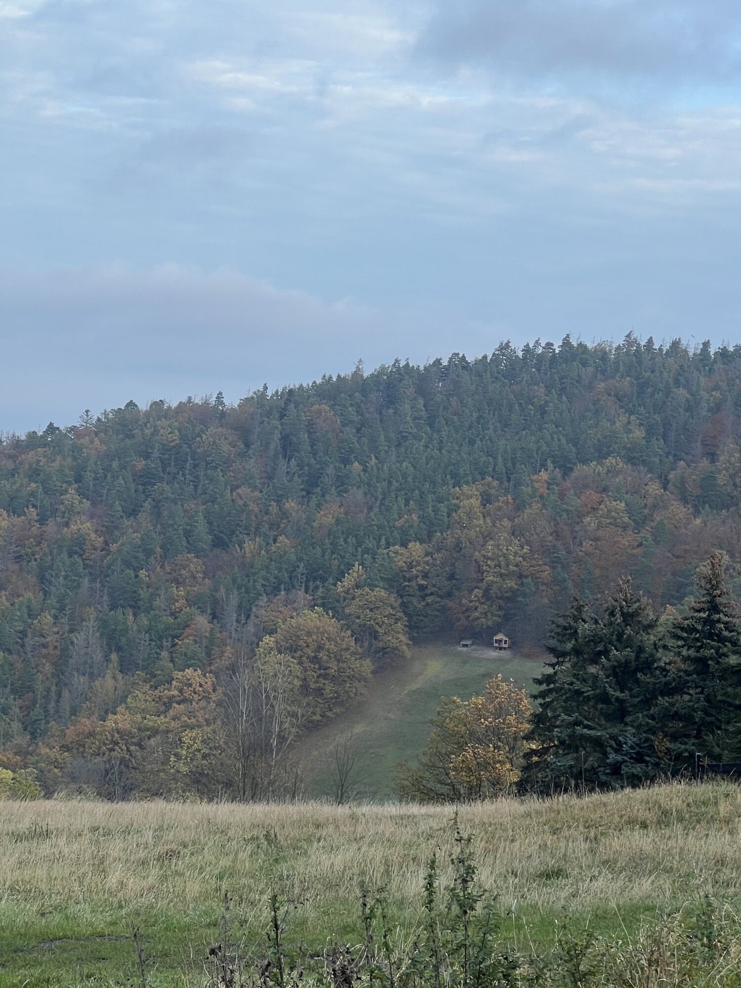
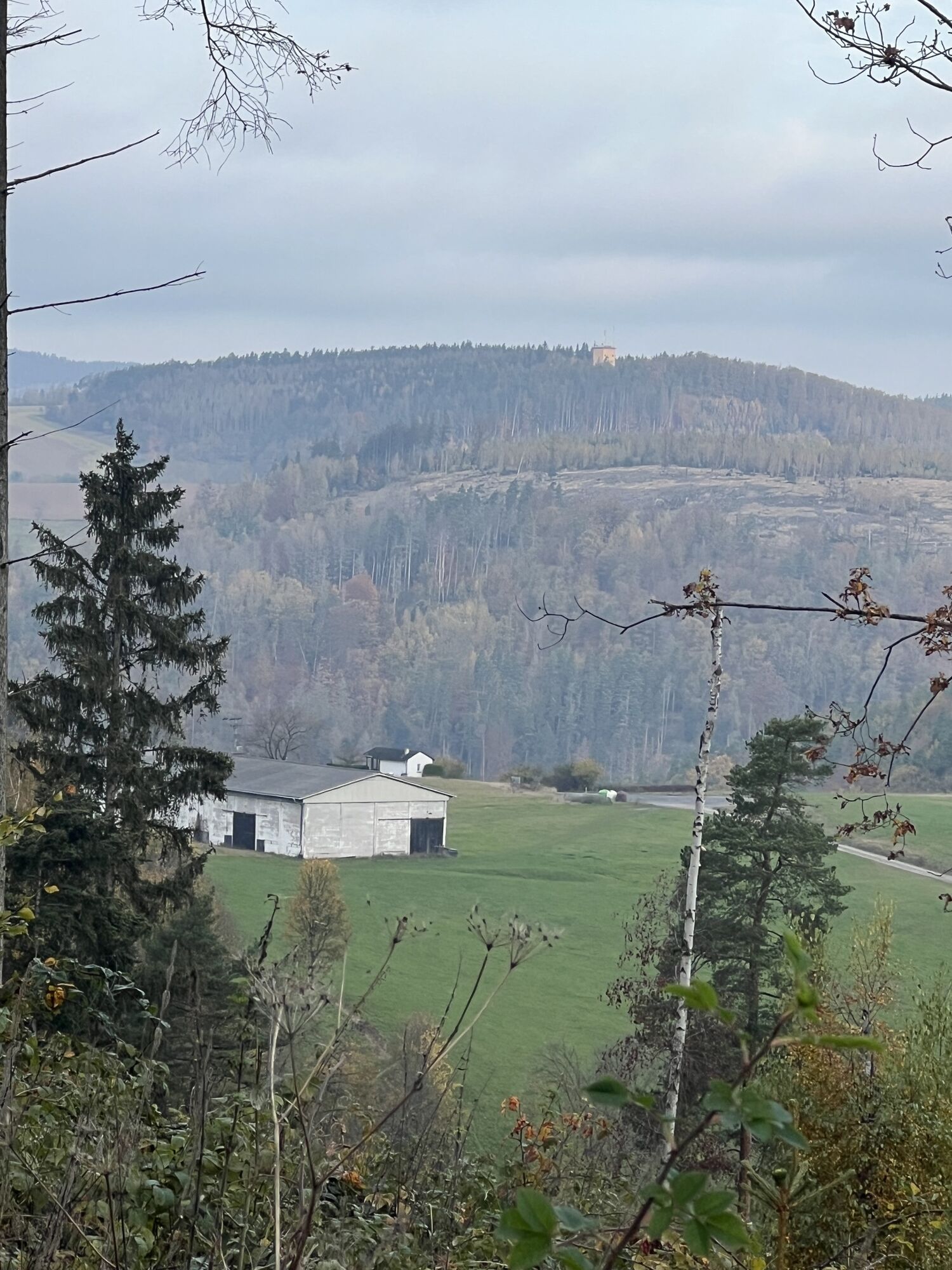
At the foot of the Rabenhügel lies the small idyllic mountain village of Knobelsdorf. From the village square, the hiking trail leads through varied landscapes with impressive views towards Lositz. Already...
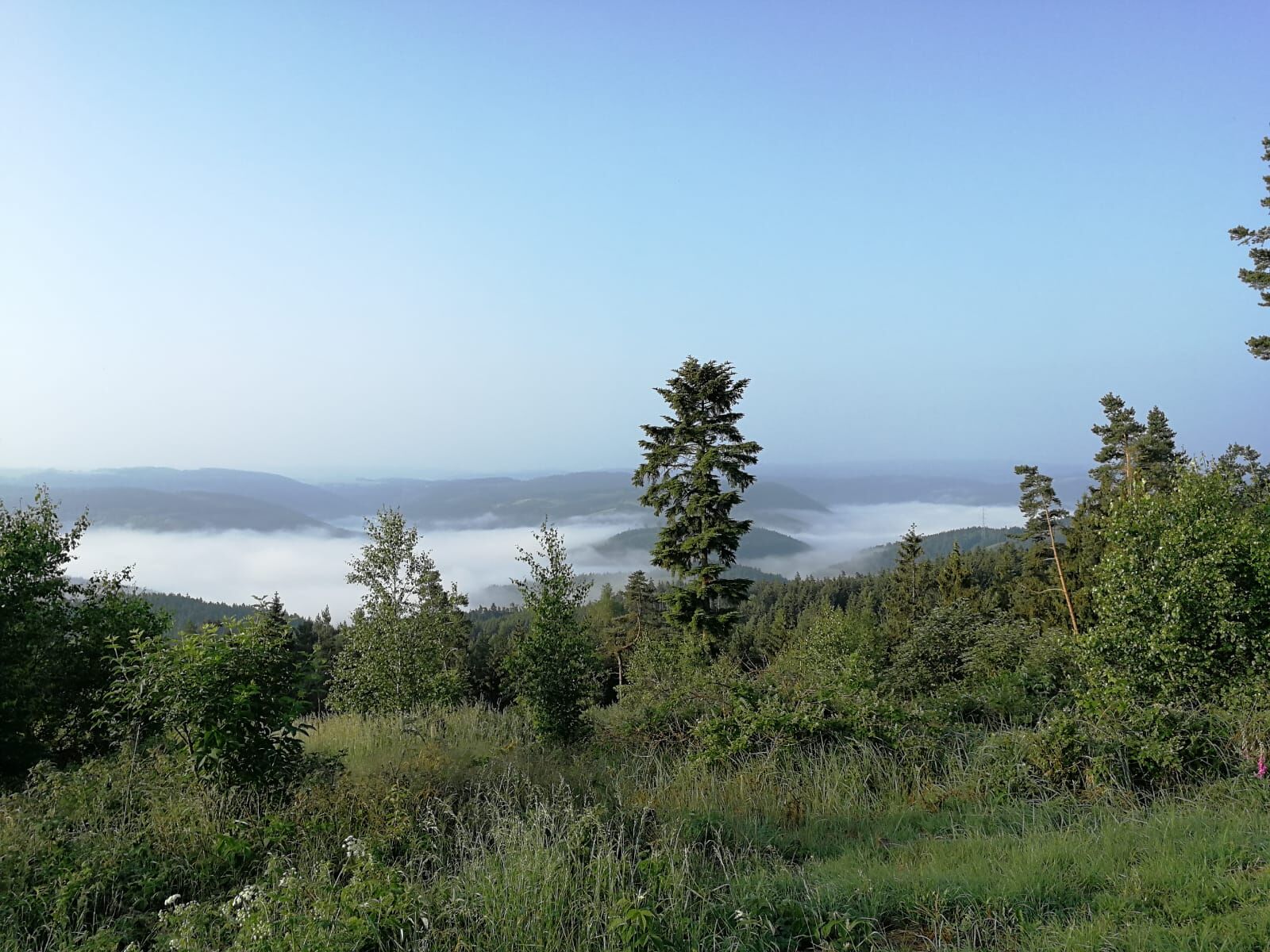
At the foot of the Rabenhügel lies the small idyllic mountain village of Knobelsdorf. From the village square, the hiking trail leads through varied landscapes with impressive views towards Lositz. Already at the starting point, hikers are offered a first fascinating viewpoint. From here, the village of Eyba can be seen on the opposite ridge.
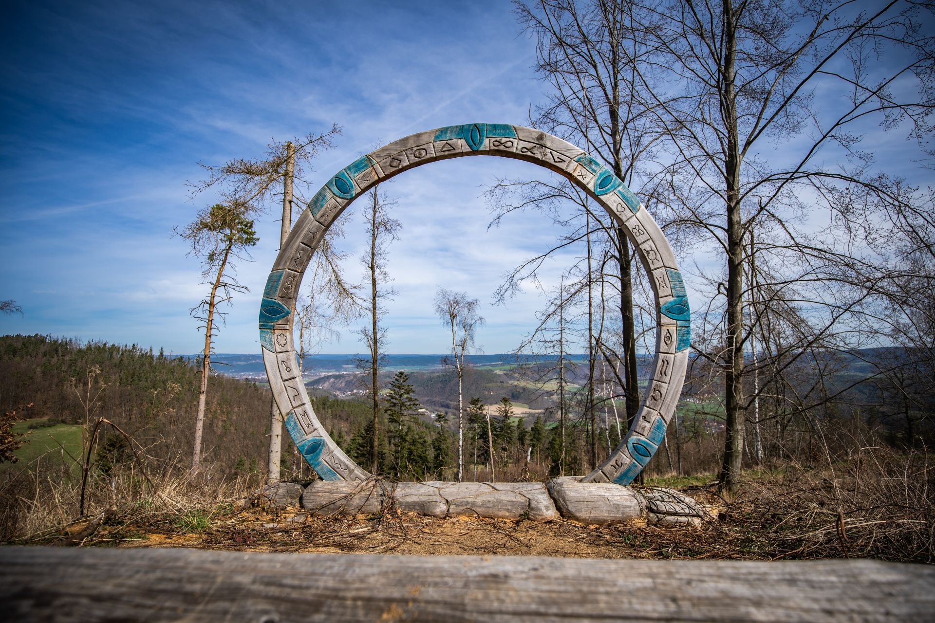
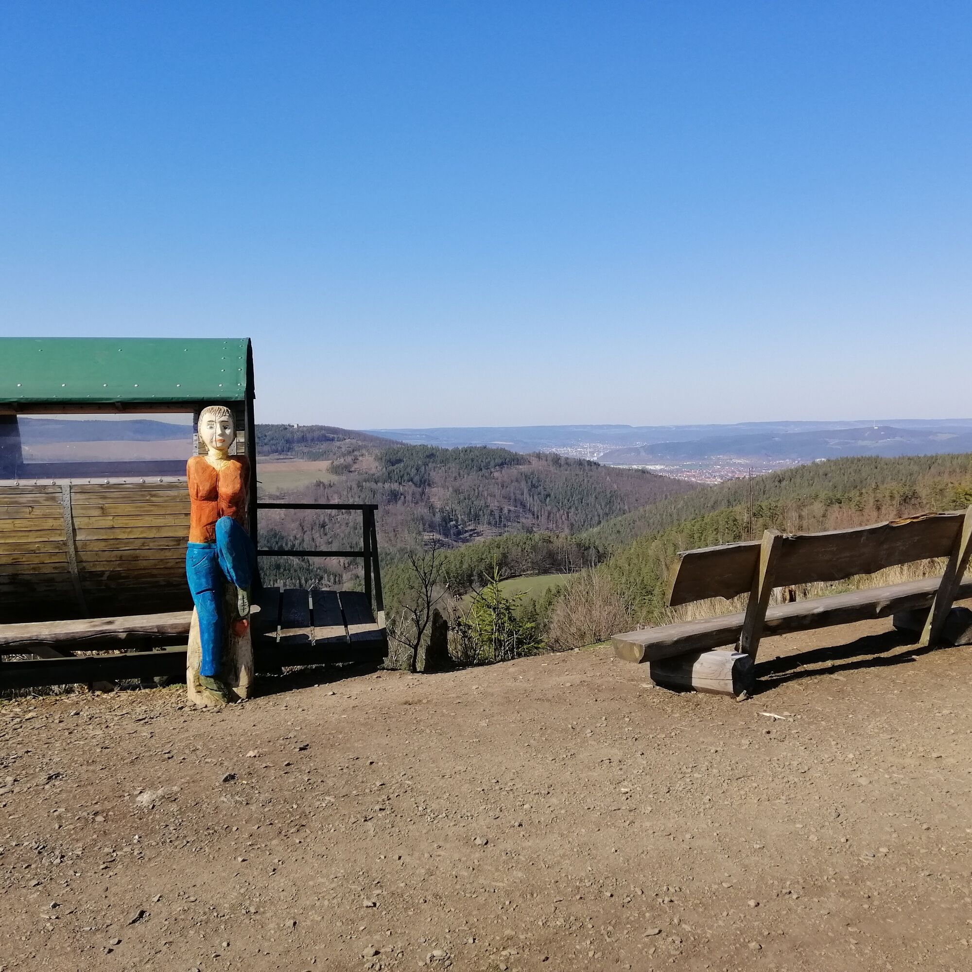
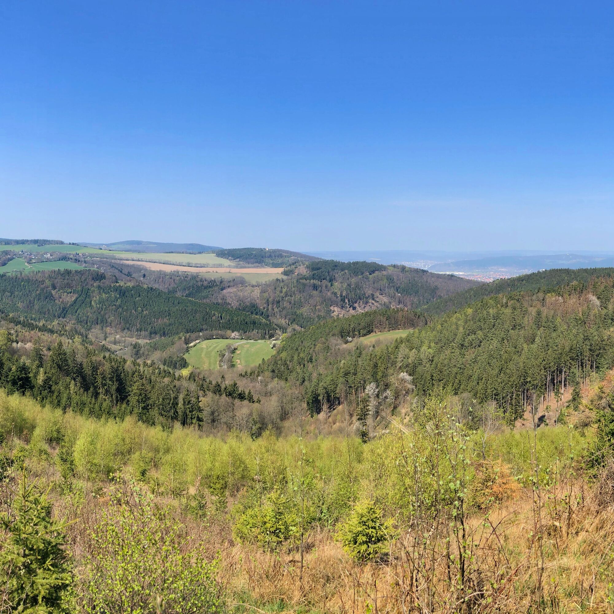
Along the circular hiking trail, lovingly carved wooden figures provide variety. Benches along the way offer the opportunity to take a short rest. The strenuous ascent to the summit of the Rabenhügel is rewarded with a breathtaking panoramic view of the surrounding mountains and valleys.


Knobelsdorf - Rabenhügel - Knobelsdorf
Ano
Ano
Sturdy footwear
Rain gear
First aid kit
GPS device or smartphone
Drink supply
Please only walk on the designated paths.
A9 exit 26 Triptis onto B 281 towards Saalfeld. Then continue on B 85 and K 153 to Knobelsdorf.
You can reach Knobelsdorf by Deutsche Bahn to Saalfeld station and then continue with bus line 558 Saalfeld - Knobelsdorf.
Please use the Deutsche Bahn travel planner for your journey.
There are parking spaces at the bus turning area in Knobelsdorf.
Parking spaces are located at the Knobelsdorf bus turning area.
Oblíbené prohlídky v okolí
-
4.9
Circular hiking trail - H5 "The Water Route" - Thuringian Forest
středníTuristika 6.58 km -
4.8
Circular hiking trail - "To the most beautiful viewpoints" - Thuringian Forest
středníTuristika 12.8 km -
4.5
Circular route - “To the Strudel pots of the Schwarza” - Starting point at the Chrysopras weir - Bad Blankenburg
středníTuristika 9.01 km -
Circular hiking trail - "Sculpture Trail" - Hiking start Unterweißbach - Thuringian Forest
středníTuristika 24.4 km -
4.7
Circular hiking route - H3 "The Bird's Eye View" - Thuringian Forest
středníTuristika 8.78 km -
4.0
Circular route - "Wichtelweg" - Wilhelmsdorf
světloTematická stezka 2 km -
5.0
Meurasteine, Talsperre Leibis-Lichte
středníTuristika 13.4 km -
5.0
Urwaldpfad Leutenberg - Thuringian Urwaldpfade
středníTuristika 6.82 km -
Circular trail - Saugartenpfad - Hiking start at Chrysopraswehr - Bad Blankenburg
středníTuristika 8.39 km -
Panoramaweg Schwarzatal - Stage 1 Schwarza to Schwarzburg - Thuringian Forest
heavyTuristika 15.4 km
Pěší turistika a stopování


Nenechte si ujít nabídky a inspiraci pro vaši příští dovolenou
Vaše e-mailová adresa byl přidán do poštovního seznamu.





