







Fox Tower Path - No. 7
The starting point is at the hiking boards above the "Bergfried" restaurant. From there, walk about 50 m along the street towards the Bergfried Clinic. Just before the clinic parking lot, turn right and...
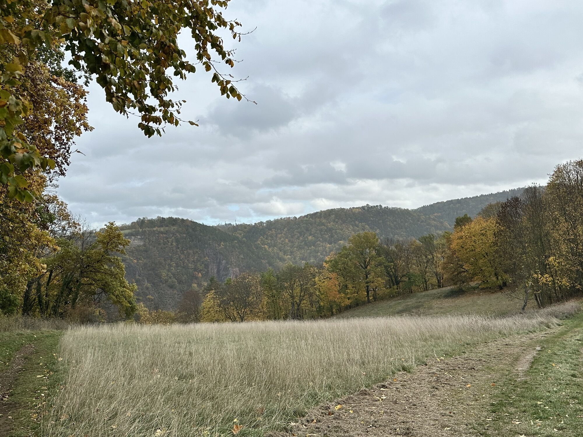
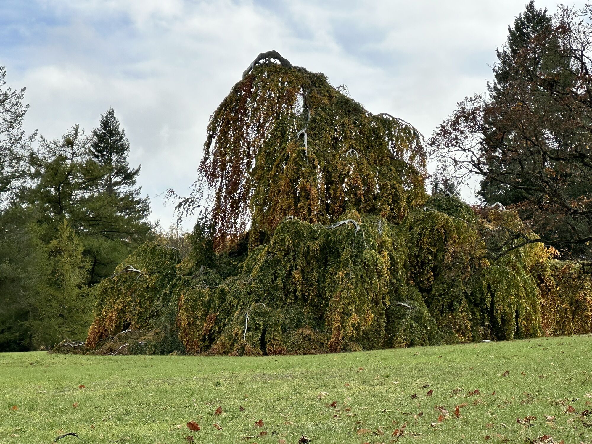
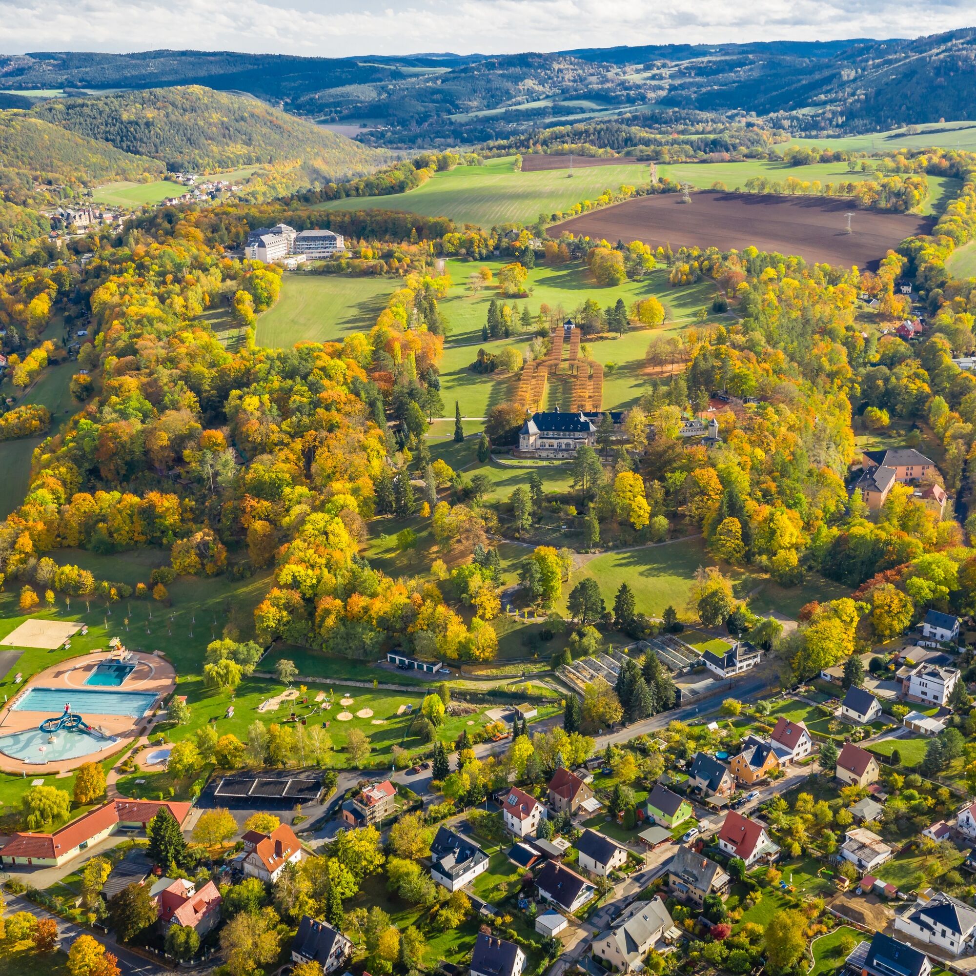
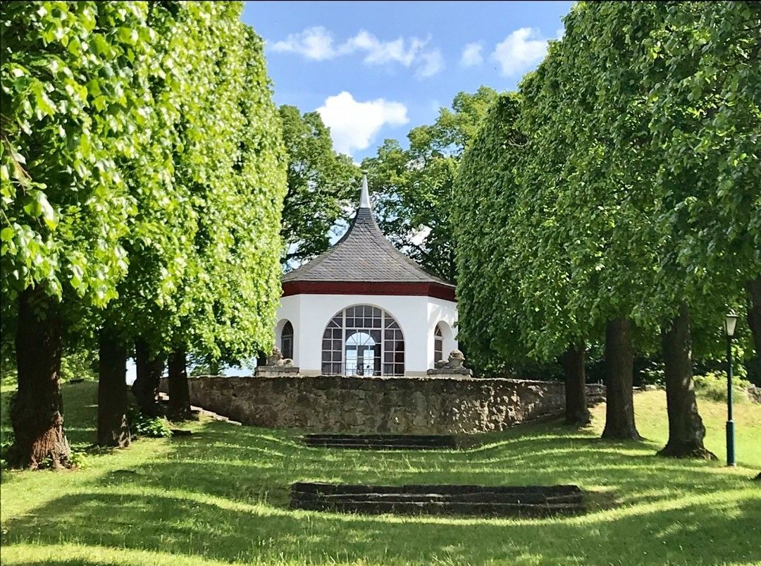
The starting point is at the hiking boards above the "Bergfried" restaurant. From there, walk about 50 m along the street towards the Bergfried Clinic. Just before the clinic parking lot, turn right and after about 40 m turn left into the beech grove. After about 250 m - at the level of the clinic - you will see the Fox Tower about 100 m to the right. Here you enjoy beautiful views of the Bohlenwand and the Saale valley. The key to the tower can be borrowed at the Bergfried Clinic. The actual path turns left there and goes downhill behind the clinic grounds. Soon you reach the forest edge, which offers beautiful views over the Gorndorf district and into the Orla valley. The path follows the forest edge until about 50 m before the street. From there, it turns left and goes uphill again above the outdoor pool area. We follow the hollow path along the fence of Bergfried Park to the field area. Shortly afterwards, the path changes into the park area. In the park, it goes about 200 m gently uphill back to the start.


Type:
Circular hiking route
Route:
Restaurant Bergfried - Beech Grove - Fox Tower - Hollow Path - Peace Height - Bergfried Park - Restaurant Bergfried
Marking:
Number 7 on white background
Ano
Sturdy footwear
Rainwear
First aid kit
GPS device or smartphone
Drink supply
Please observe the "forest etiquette" of Thuringia Forest.
ARRIVAL BY CAR
Address: Fuchsturm 5 · 07318 Saalfeld
From the west:
Take exit Stadilm from A71 and continue on B90 towards SaalfeldFrom the south:
Take exit Eisfeld from A73 and follow B281 towards Neuhaus am Rennweg On B85 from KronachFrom the east:
Take exit Lobenstein from A9 and follow B90 towards Lobenstein Take exit Triptis from A9 and follow B281 towards PößneckFrom the north:
Take exit Jena-Göschwitz from A4 and follow B88 towards Rudolstadt (Attention: ongoing long-term construction site in Rothenstein)ARRIVAL BY TRAIN
Travel conveniently, stress- and traffic jam-free by Deutsche Bahn trains from all directions to Saalfeld. From Saalfeld station, you can quickly and easily reach the Feengrotten by bus.
ARRIVAL BY CITY BUS/ LONG-DISTANCE BUS
Direction: Station - Bergfried Line D - hourly daily at xx:37 from the station (first trip at 06:37) - last trip is 19:37 from the station
Direction: Bergfried - Station Line D - hourly daily at xx:05 Bergfried - first trip at 07:05; last trip is 20:00
Overview sketch of boarding points at Saalfeld bus station
Feel free to use this link for trip planning and simply add your starting point and desired travel period:
Parking is available free of charge at the caravan parking lot at the outdoor pool. See Google navigation point.
Turn left downhill along the forest edge on the path. You will reach a small unpaved driveway with buildings in the background. Walk towards the buildings. There you will find the monument honoring the fallen soldiers of the Franco-Prussian War 1870-1871 next to a large oak tree. This gave the area its name "Peace Height."
Oblíbené prohlídky v okolí
-
4.9
Circular hiking trail - H5 "The Water Route" - Thuringian Forest
středníTuristika 6.58 km -
4.8
Circular hiking trail - "To the most beautiful viewpoints" - Thuringian Forest
středníTuristika 12.8 km -
4.5
Circular route - “To the Strudel pots of the Schwarza” - Starting point at the Chrysopras weir - Bad Blankenburg
středníTuristika 9.01 km -
4.7
Circular hiking route - H3 "The Bird's Eye View" - Thuringian Forest
středníTuristika 8.78 km -
4.0
Circular route - "Wichtelweg" - Wilhelmsdorf
světloTematická stezka 2 km -
Circular hike - "Friedrich Fröbel" - Bad Blankenburg
heavyTuristika 14.4 km -
5.0
Urwaldpfad Leutenberg - Thuringian Urwaldpfade
středníTuristika 6.82 km -
Circular trail - Saugartenpfad - Hiking start at Chrysopraswehr - Bad Blankenburg
středníTuristika 8.39 km -
Panoramaweg Schwarzatal - Stage 1 Schwarza to Schwarzburg - Thuringian Forest
heavyTuristika 15.4 km -
5.0
Kulm route
středníTuristika 9.39 km
Pěší turistika a stopování


Nenechte si ujít nabídky a inspiraci pro vaši příští dovolenou
Vaše e-mailová adresa byl přidán do poštovního seznamu.





