Navigace na stránkách
Pořiďte si tuto prohlídku do mobilního telefonu
Mapa
Road bike - Ilmtal-Schwarzatal ride

heavy
Silniční kolo
84.37 km
Naskenujte QR kód a spusťte navigaci v aplikaci bergfex.
QR Code
Pěší turistika a stopování

Road bike - Ilmtal-Schwarzatal ride
Vzdálenost
84.4 km
Doba trvání
05:05 h
Ascent
1094 hm
Hladina moře
277 - 708 m
Stažení skladby
Mapa
Road bike - Ilmtal-Schwarzatal ride
heavy
Silniční kolo
84.37 km

The route immediately reminds one of France when looking at the map... Perhaps riding it gives a bit of "Tour de France" feeling. The route between the Ilm and Schwarzatal starts at the Große Teiche of...

Popis

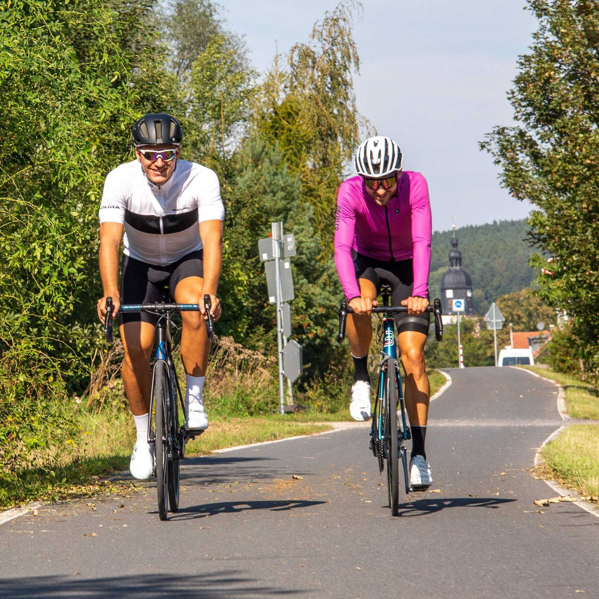
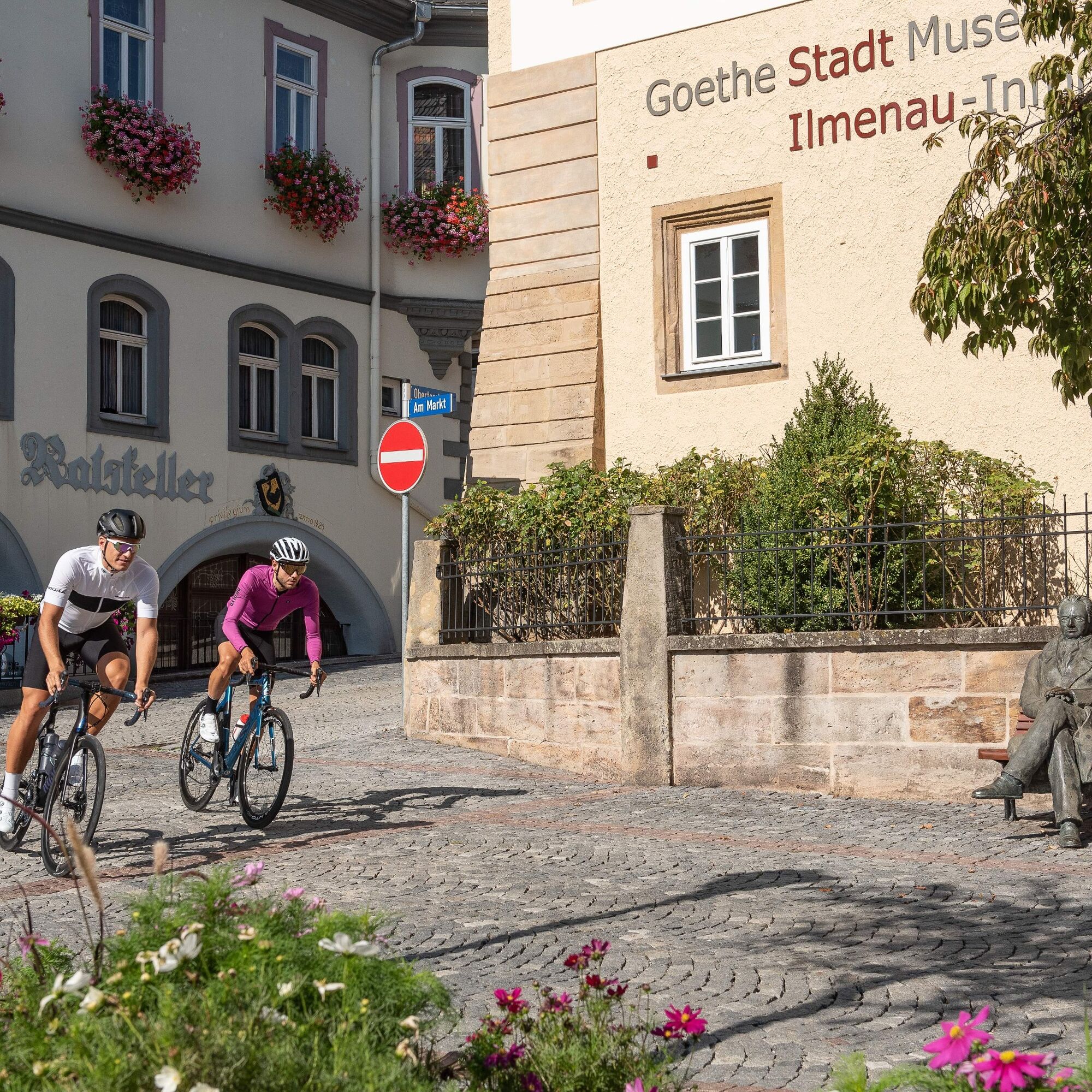
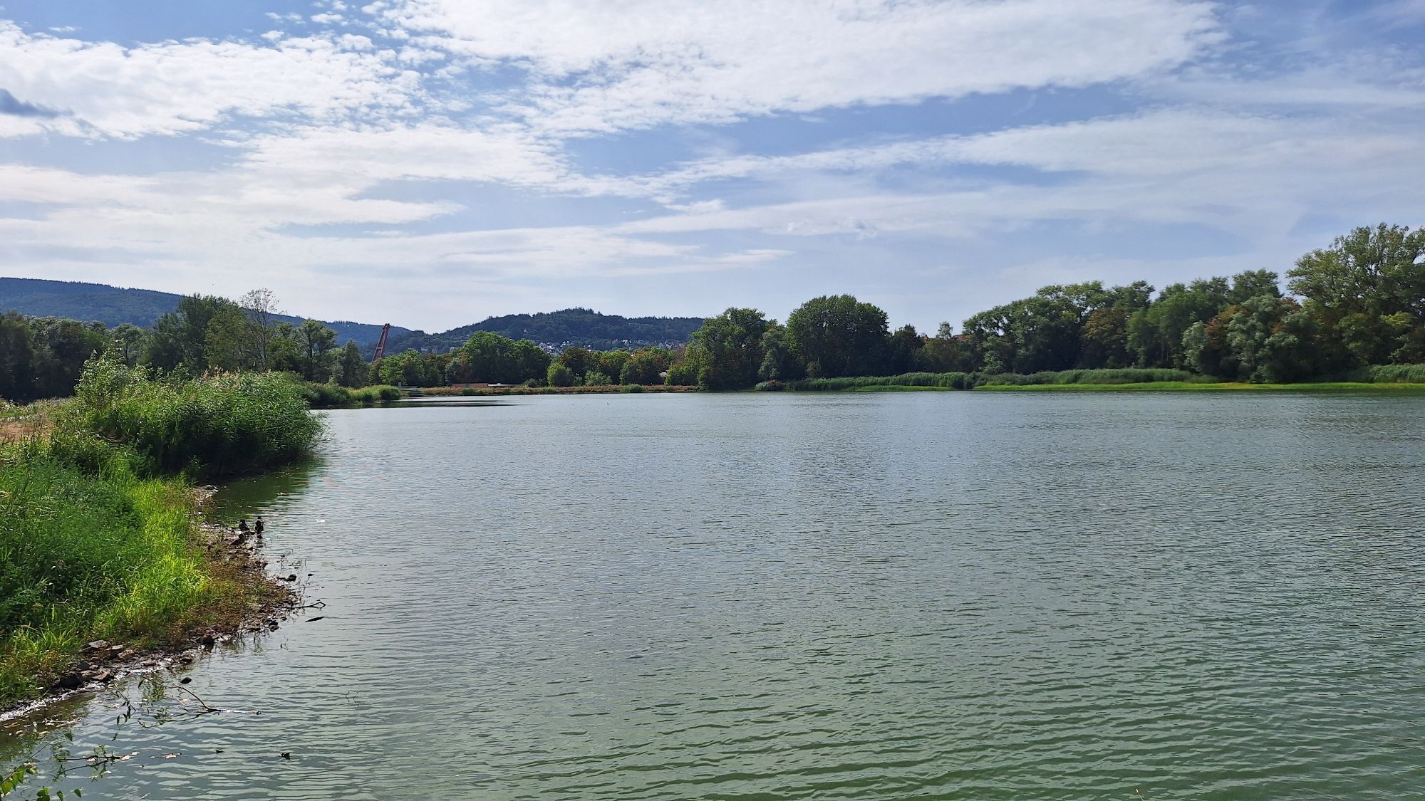
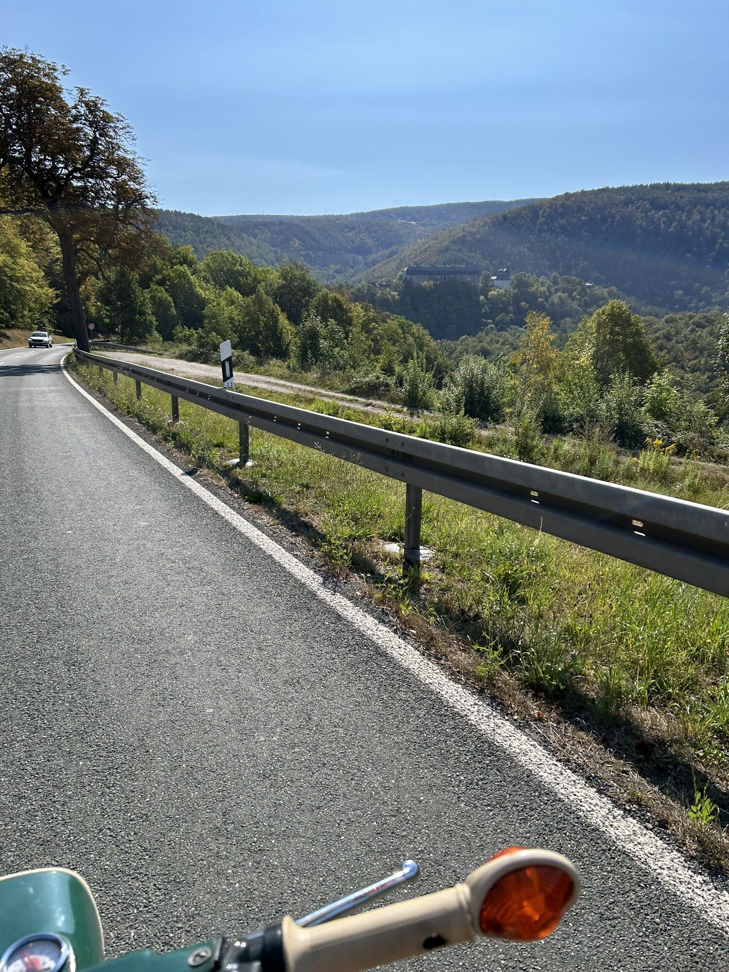
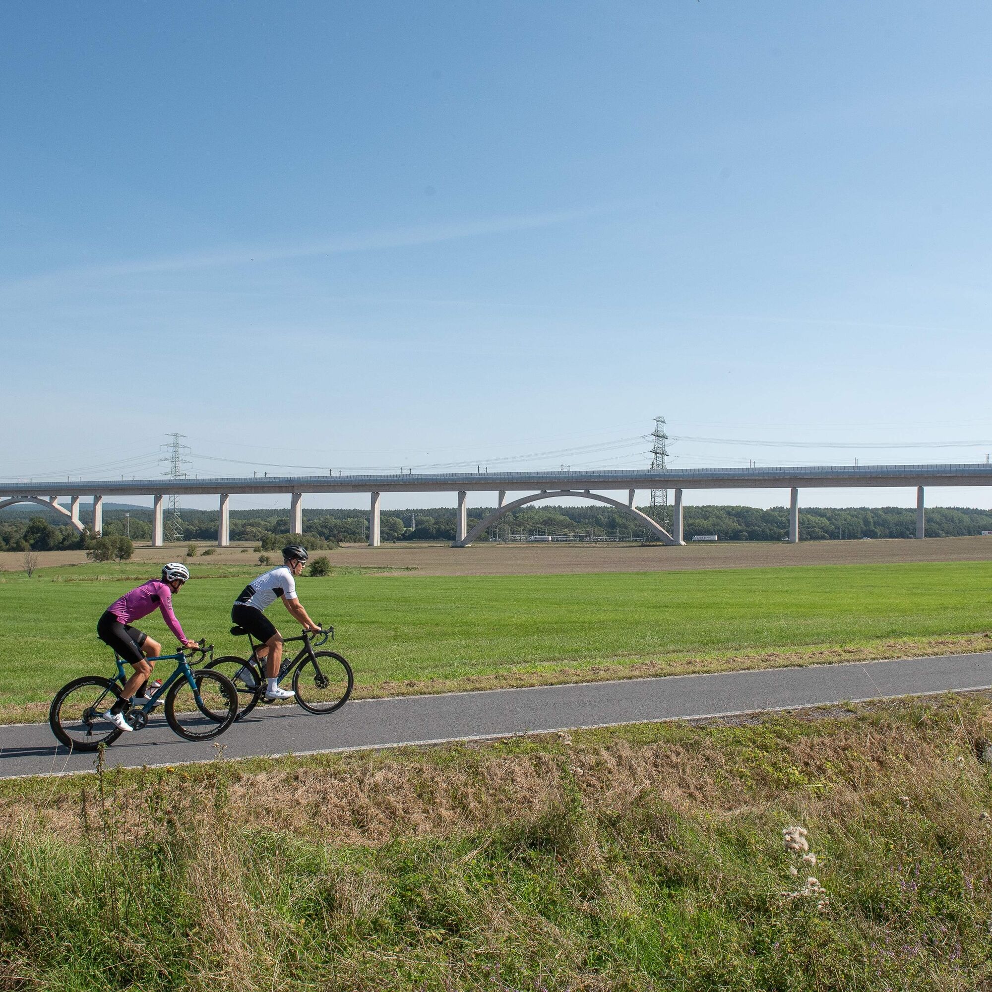
The route immediately reminds one of France when looking at the map... Perhaps riding it gives a bit of "Tour de France" feeling. The route between the Ilm and Schwarzatal starts at the Große Teiche of Ilmenau. There are sufficient parking spaces here and the first meters are perfect to warm up. Through small villages, including Paulinzella with its charming monastery ruins, the route leads into the Schwarzatal. In Rottenbach, a short detour to the station is worthwhile. However, the break should not be too long, as the Schwarzatal is deceptive, as from here on it gets challenging. The altitude meters uphill towards Großbreitenbach require perseverance. Herb enthusiasts should definitely stop at the herbal school in the hometown of the former biathlete Andrea Henkel. After a climb up to "Hohen Tanne," it is then relaxing downhill along the former railway track of today's Ilm-Rennsteig cycle path. Here, it is possible to gain good speed in parts. A highlight is Germany’s longest ICE bridge shortly before Langewiesen. It goes back via the Ilmtal cycle path to the university and Goethe city Ilmenau. At the destination, a stop at the beer garden of the "Haus am See" is recommended.

Trasa
Ilmenau
(500 m)
Město
0.0 km
Sankt Nicolaus
(441 m)
Místo konání bohoslužeb
15.2 km
Singen
(433 m)
Vesnice
15.3 km
Allendorf
(350 m)
Vesnice
33.2 km
Sitzendorf
(306 m)
Vesnice
39.9 km
Dorfkirche Meuselbach
(637 m)
Místo konání bohoslužeb
53.1 km
Großbreitenbach
(660 m)
Město
65.5 km
Trasa
Mapa
Road bike - Ilmtal-Schwarzatal ride
heavy
Silniční kolo
84.37 km
Haus am See
(484 m)
Restaurace
0.0 km
Ilmenau
(500 m)
Město
0.0 km
Wümbach
(462 m)
Vesnice
4.0 km
Gasthaus zur Linde
(455 m)
Restaurace
4.3 km
Gräfinau-Angstedt
(408 m)
Vesnice
7.3 km
Gaststätte Zur Scharfen Ecke
(407 m)
Restaurace
7.5 km
Lehmannsbrück
(422 m)
Vypořádání
10.4 km
Cottendorf
(391 m)
Vesnice
12.7 km
Dörnfeld an der Ilm
(391 m)
Vesnice
12.8 km
Sankt Nicolaus
(441 m)
Místo konání bohoslužeb
15.2 km
Singen
(433 m)
Vesnice
15.3 km
Zum Singer Berg
(437 m)
Restaurace
15.4 km
Zeppelinmühle
(441 m)
Vypořádání
16.5 km
Gösselborn
(471 m)
Vesnice
18.0 km
Paulinzella
(362 m)
Vesnice
21.7 km
Imbiss Angelpark Paulinzella
(330 m)
Restaurace
23.2 km
Milbitz
(306 m)
Vesnice
25.1 km
Rottenbach
(285 m)
Vesnice
27.2 km
Unterköditz
(308 m)
Vesnice
31.0 km
Am Anger
(348 m)
Koridor/terén
33.1 km
Allendorf
(350 m)
Vesnice
33.2 km
Am Hohlweg
(358 m)
Koridor/terén
33.4 km
Kegelbahn
(375 m)
Koridor/terén
33.6 km
Dissauer Tor
(468 m)
Koridor/terén
34.8 km
Am Rod
(356 m)
Koridor/terén
36.4 km
Am Forsthaus
(337 m)
Koridor/terén
36.8 km
Hotel Weißer Hirsch
(334 m)
Restaurace
36.8 km
Am Kaisersaal
(343 m)
Koridor/terén
37.1 km
Schwarzburg
(282 m)
Vesnice
37.2 km
Plateau
(333 m)
Koridor/terén
37.7 km
Sitzendorf
(306 m)
Vesnice
39.9 km
Semmelpeter
(309 m)
Koridor/terén
39.9 km
Bahnhofsgaststätte
(315 m)
Restaurace
41.3 km
Sitzendorf-Unterweißbach
(313 m)
Železniční stanice
41.3 km
Blechhammer
(316 m)
Vesnice
41.6 km
Unter dem Pflanzgarten
(326 m)
Koridor/terén
42.2 km
Neu-Leibis
(340 m)
Vesnice
42.3 km
Am Schieferbruch
(332 m)
Koridor/terén
43.2 km
Pfarrbrunnen
(332 m)
Zdroj:
43.4 km
Zum Hirsch
(332 m)
Restaurace
43.4 km
Dorfkirche Unterweißbach
(335 m)
Místo konání bohoslužeb
43.5 km
Unterweißbach
(328 m)
Vesnice
43.5 km
Kirchhügel
(346 m)
Koridor/terén
43.6 km
Gaststätte Thüringer Hof
(594 m)
Restaurace
47.9 km
Gasthof & Pension zur Schenke
(629 m)
Restaurace
48.5 km
Oberweißbach
(670 m)
Město
48.7 km
Gaststätte & Café Zur Biene
(693 m)
Restaurace
50.4 km
Cursdorf
(690 m)
Vesnice
50.6 km
Hotel & Restaurant Im Kräutergarten
(697 m)
Restaurace
50.7 km
Dorfkirche Meuselbach
(637 m)
Místo konání bohoslužeb
53.1 km
Meuselbach
(602 m)
Vesnice
53.4 km
Brauhausquelle
(596 m)
Zdroj:
53.5 km
Anker
(588 m)
Restaurace
53.5 km
Flair-Hotel Waldfrieden
(414 m)
Restaurace
57.2 km
Schwarzmühle
(390 m)
Vesnice
57.4 km
Böhlen
(608 m)
Vesnice
61.5 km
Wallbrücke
(595 m)
Vypořádání
63.1 km
Bräetmicher Ratsstuben
(606 m)
Restaurace
64.6 km
Vietnam Hano
(655 m)
Restaurace
65.4 km
Großbreitenbach
(660 m)
Město
65.5 km
Bahnhofsgaststätte Heinicke
(665 m)
Restaurace
65.7 km
Hohe Tanne
(702 m)
Vypořádání
67.7 km
Waldhotel Hohe Tanne
(703 m)
Restaurace
67.8 km
Möhrenbach
(529 m)
Vesnice
71.6 km
Gehren
(485 m)
Vesnice
75.2 km
Langewiesen
(454 m)
Vesnice
79.0 km
Fridolin
(465 m)
Restaurace
81.3 km
Ilmenau
(500 m)
Město
82.8 km
Ilmenau
(478 m)
Železniční stanice
83.5 km
Informace o prohlídce

From Ilmenau through the beautiful Schwarzatal, the route leads to Großbreitenbach and returns downhill through a former railway track in the forest back to the university town of Ilmenau.

Technologie
n.a.
Stav
5 / 6
Krajina
5 / 6
Zkušenosti
5 / 6
Nejlepší roční období
Led
Úno
Bře
Dub
Kvě
Čen
Čec
Srp
Zář
Říj
Lis
Pro
Sdílet prohlídku
Mapa
Road bike - Ilmtal-Schwarzatal ride
heavy
Silniční kolo
84.37 km
Chyba
Došlo k chybě. Zkuste to prosím znovu.
Vybavení

Typical road bike equipment.

Bezpečnostní pokyny

Helmet

Informace o příjezdu
Příjezd

Via the A71 to Ilmenau

Veřejná doprava

By the South Thuringia Railway from Erfurt - Ilmenau; on weekends the train (Rennsteig shuttle) runs to Rennsteig station. Therefore, one might consider not finishing the entire route but from Großbreitenbach traveling parallel to the Rennsteig to Rennsteig station.

Parkování

Ilmenau offers numerous parking options. Parking lots at the cemetery, the swimming and ice rink, or at the Ilmenau ponds.

Další informace a tipy
Další informace

For navigation, the Thuringian Forest app is recommended.

Tipy

Rottenbach station; Herbal school Großbreitenbach; Kulturfabrik Langewiesen; Haus am See - Ilmenau

Zatím žádné recenze
Napište recenzi

Recenze pomáhají ostatním uživatelům při výběru dalšího dobrodružství. Hodnoťte prosím pouze prohlídku, nikoli počasí nebo svačinu.

Výběrem jedné z hvězdiček ohodnotíte prohlídku
Špatné turné
Slabé turné
Průměrné turné
Dobrá prohlídka
Vynikající prohlídka
Pěší turistika a stopování

Pěší turistika a stopování

Pěší turistika a stopování
Více než 550.000 návrhů výletů, podrobné mapy a intuitivní plánovač tras dělají z aplikace nezbytnou výbavu pro všechny milovníky přírody.
bergfex