







Saale - Water hiking from Kaulsdorf to Saalfeld - Stage 5
Úroveň obtížnosti: 2
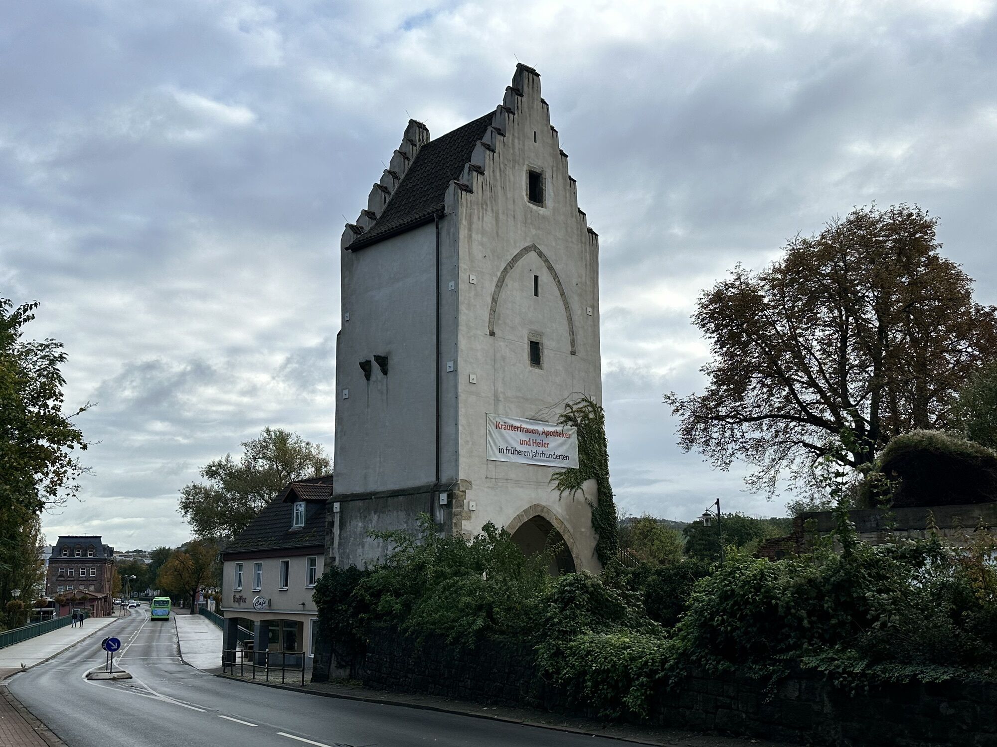
The fifth section of the route from Saalfeld is particularly interesting for culture lovers. From here, the Saale bike path is family-friendly. The route initially takes you to Rudolstadt. High above the...
The fifth section of the route from Saalfeld is particularly interesting for culture lovers. From here, the Saale bike path is family-friendly. The route initially takes you to Rudolstadt. High above the historic old town majestically towers the Heidecksburg Residence Castle. Here you can be enchanted by the "Rococo en miniature" – a fantastic miniature world in the style of Rococo – or visit the Schiller House, the first meeting place of Goethe and Schiller.
From Rudolstadt, the route leads you directly past the Weißenburg – here a short break is recommended with impressive views over the Saale valley – before your next destination, the traditional rafting town of Uhlstädt with its rafting museum. Continuing via Freienorla, where the Orla flows into the Saale, the Kemenate of Orlamünde lies high above the Saale valley. Later you will see the "Queen of the Saale Valley" – the Leuchtenburg – majestically perched above the slopes. Discover here the fascinating seven "porcelain worlds." The historic old town of Kahla and the porcelain factory with factory shop are also worth a visit.
A few kilometers further, you will discover the lively university and city of light Jena – embedded in southern-looking muschelkalk slopes – a popular destination for cultural-historical and botanical enthusiasts. Discover, among other things, the world's oldest functioning planetarium before ending the evening in the picturesque pub mile in Wagnergasse.
Route sequence:
Kaulsdorf - Eichicht (official entry and exit point) Kaulsdorf Loquitz mouth (rest area) Fischersdorf (rest area) Reschwitz weir (carry around) Reschwitz culture barn (official entry and exit point/rest area) Obernitz weir (carry around/rest area) Teile weir (carry around/rest area) boat passage not navigable! Zeiss weir (carry around/rest area) boat passage not navigable! Göritz mill weir (carry around, rest area) bottom ramp not navigable!
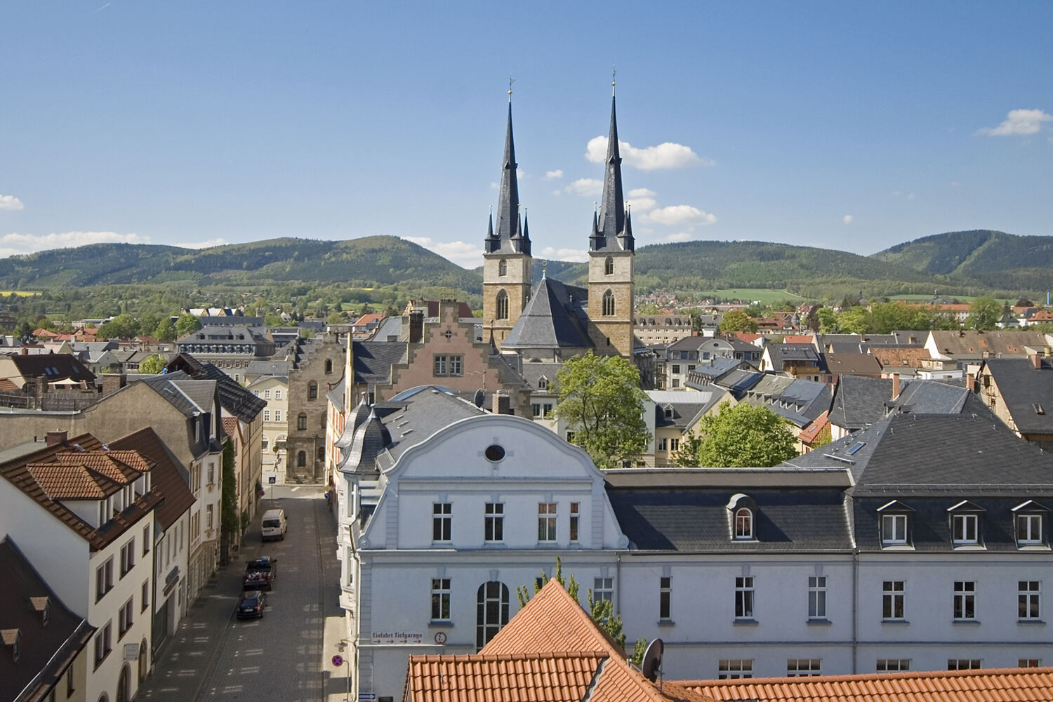
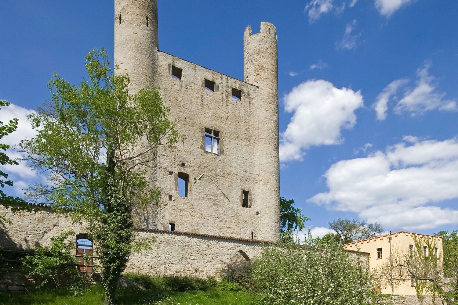
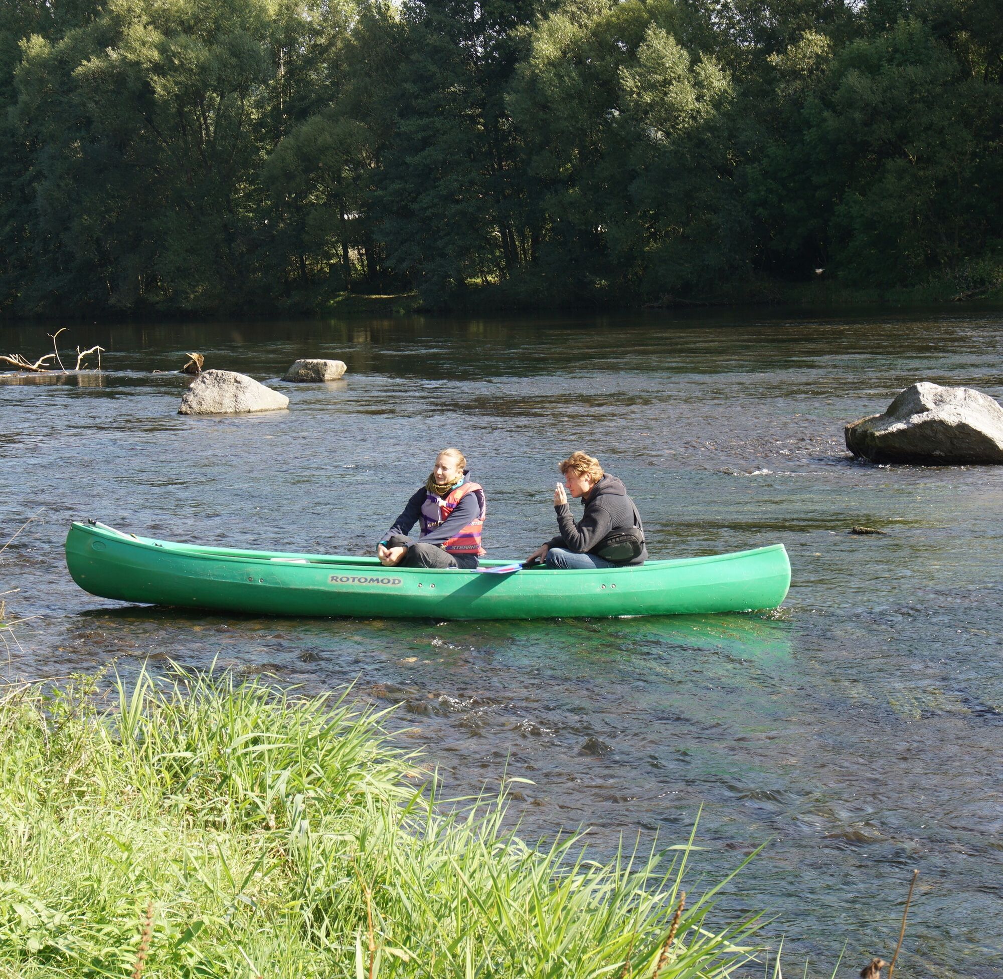
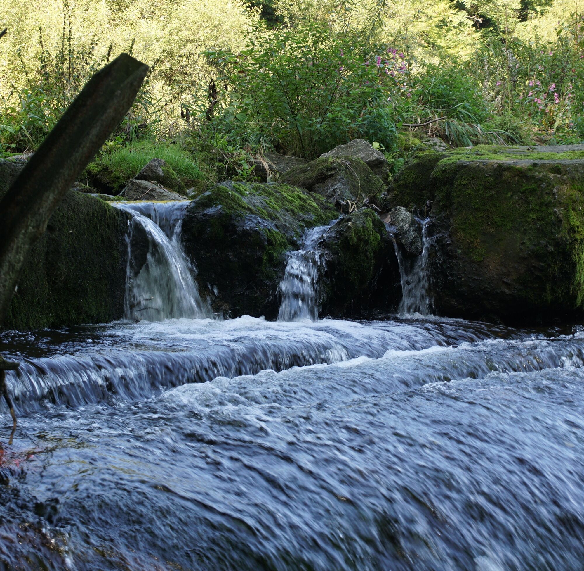

Start your route at the Eichicht dam (right) and enjoy uninterrupted paddling pleasure to the Reschwitz weir (right), which must be carried around. At the following entry and exit point in Reschwitz (left), a break at the culture barn to visit the Metkeller is worthwhile. Continue for 1.6 km to the Obernitz weir (right). Here, again, there is the possibility of a break. Passing the chocolate factory to your left and the mighty towering red rocks of the Bohlenwand, you will now enter the fairy grotto town of Saalfeld. One more weir must be carried around (left, boat passage in the middle of the weir) before you can stop at the Zeiss weir (right, boat passage in the middle of the weir) to visit the city on the Saale that is over 1100 years old.
Life jackets, bathing shoes
The weirs and hydropower plants in the Saale must be carried around unless otherwise indicated. To carry canoes around, you should be at least two people; for inflatable boats, at least four people are necessary.
Please note that the flow rate of the Saale depends on the water level. We advise against water hiking at too high water levels after heavy rainfall. At too low water levels, we recommend lacing up your hiking boots or switching to the bike rather than pulling your boat over the sensitive riverbed and thus through the nursery of the fish.
This stage is navigable from a gauge level at the Kaulsdorf gauge of 1 m. You can find the current water level here
2
Use the bike luggage boxes in Jena in the parking lot behind the Jena-Paradies station.
Oblíbené prohlídky v okolí
-
4.9
Circular hiking trail - H5 "The Water Route" - Thuringian Forest
středníTuristika 6.58 km -
4.8
Circular hiking trail - "To the most beautiful viewpoints" - Thuringian Forest
středníTuristika 12.8 km -
4.5
Circular route - “To the Strudel pots of the Schwarza” - Starting point at the Chrysopras weir - Bad Blankenburg
středníTuristika 9.01 km -
4.7
Circular hiking route - H3 "The Bird's Eye View" - Thuringian Forest
středníTuristika 8.78 km -
5.0
Hohenwarte Reservoir Way - Section 2 - Camping Wilhelmsdorf Portenschmiede → Ziegenrück
heavyTuristika 18.2 km -
4.0
Circular route - "Wichtelweg" - Wilhelmsdorf
světloTematická stezka 2 km -
Circular hike - "Friedrich Fröbel" - Bad Blankenburg
heavyTuristika 14.4 km -
5.0
Urwaldpfad Leutenberg - Thuringian Urwaldpfade
středníTuristika 6.82 km -
Circular trail - Saugartenpfad - Hiking start at Chrysopraswehr - Bad Blankenburg
středníTuristika 8.39 km -
5.0
Kulm route
středníTuristika 9.39 km
Pěší turistika a stopování


Nenechte si ujít nabídky a inspiraci pro vaši příští dovolenou
Vaše e-mailová adresa byl přidán do poštovního seznamu.





