







19 | Walk to Piesendorf



At the entrance to Kaprun, near the Kaprun Center, the Einödweg access road branches off to the right toward the Maiskogelbahn and Maisi Flitzer. The road leads through the underpass at the Tauern substation,...
At the entrance to Kaprun, near the Kaprun Center, the Einödweg access road branches off to the right toward the Maiskogelbahn and Maisi Flitzer. The road leads through the underpass at the Tauern substation, continues through Kottingeinöden to the bridge over the Salzach River, and on to Piesendorf.

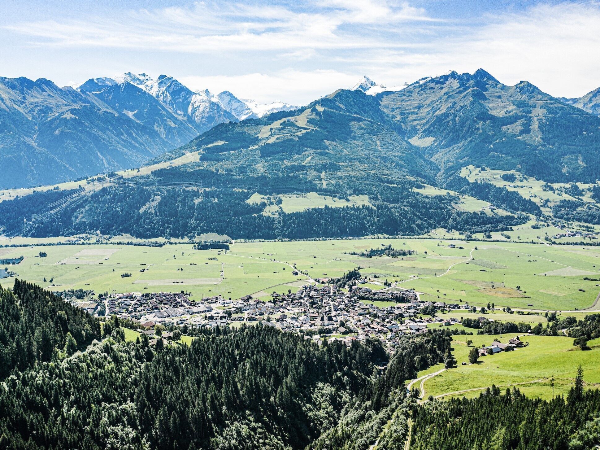
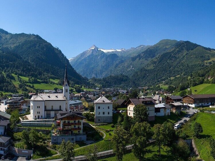
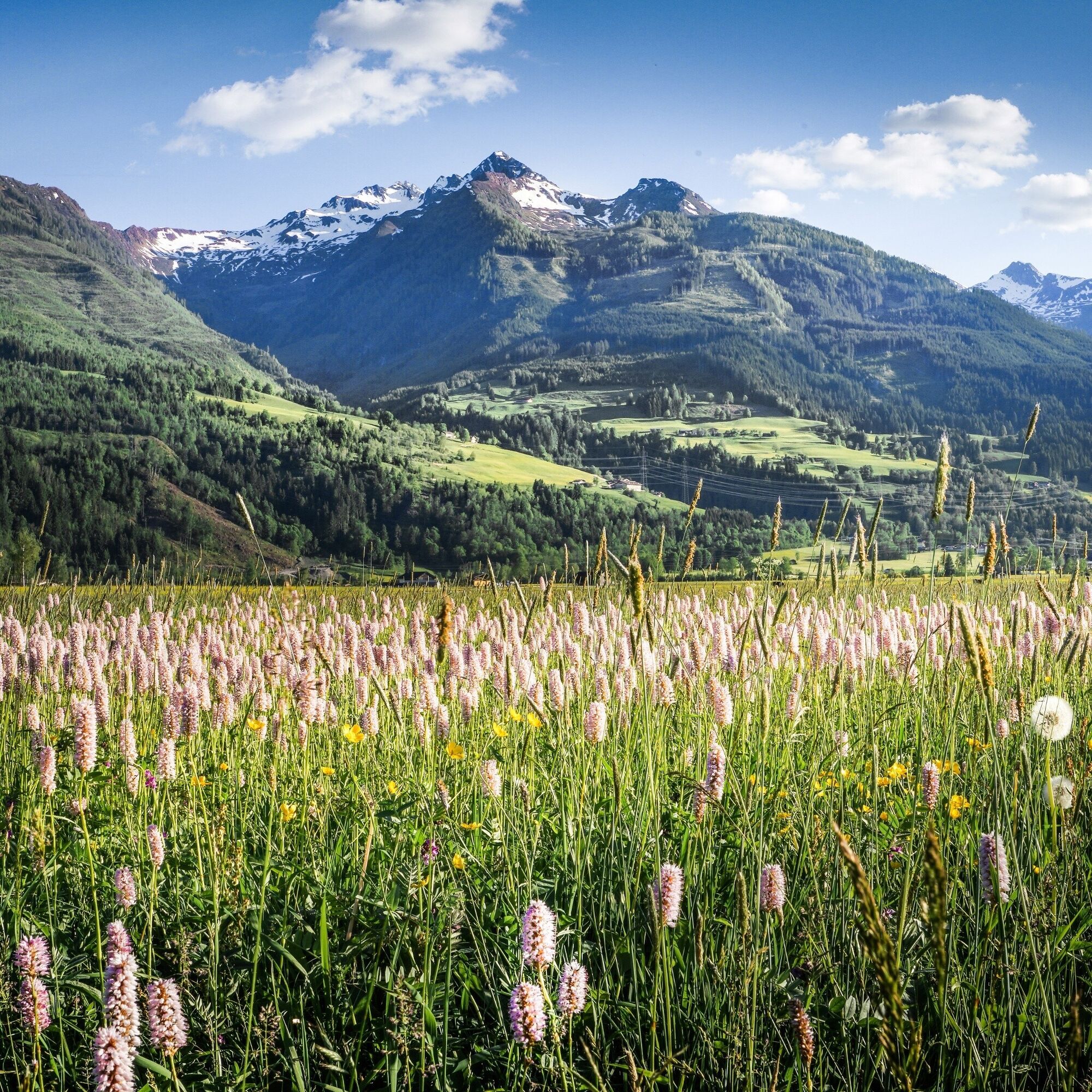
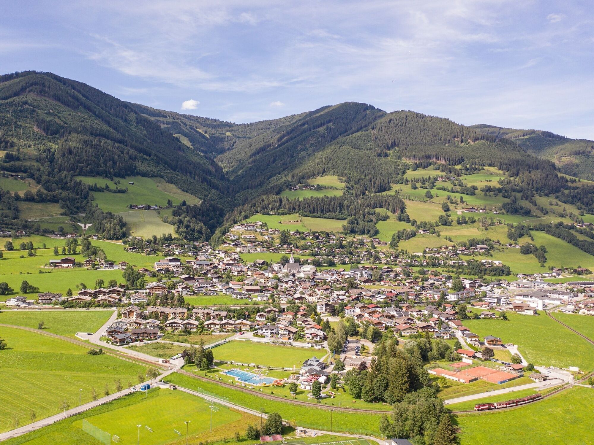

At the entrance to the village, starting point Kaprun Center, the Einödweg access road to the Maiskogelbahn cable car | Maisi Flitzer branches off to the right from the main road. Continue through the subway to the Tauern substation to Kottingeinöden (inn) to teh bridge over the Salzach to Piesendorf.
You can return by taking the Pinzgauer Lokalbahn railway or bus 670, followed by bus 660 to Kaprun.
Maiskogel car park


Oblíbené prohlídky v okolí
-
4.4
Schwalbenwand Nr. 80, 81, 82
středníTuristika 13.0 km -
4.3
Maurerkogel (Top)
Turistika 10.5 km -
4.6
Sigmund Thun Klamm, Klammsee, Bürgkogel
světloTuristika 4.56 km -
4.6
Thumersbach, Runde um den Zeller See
světloTuristika 13.3 km -
5.0
Wasserfallboden/Mooserboden
heavyTuristika 19.5 km -
4.9
Hochsonnberg Runde
středníMountainbike 59.8 km -
4.6
Panorama route 3 peaks and 2 lakes
středníTuristika 7.21 km -
4.4
Sigmund Thun Klamm
světloTuristika 3.10 km -
4.3
Hundstein-Runde von Maria Alm
heavyMountainbike 44.4 km -
4.3
Saalachtaler Höhenweg EAST (Asitz - Biberg)
středníTuristika 13.1 km
Pěší turistika a stopování


Nenechte si ujít nabídky a inspiraci pro vaši příští dovolenou
Vaše e-mailová adresa byl přidán do poštovního seznamu.





