







Panorama route 3 peaks and 2 lakes

Úroveň obtížnosti: T1
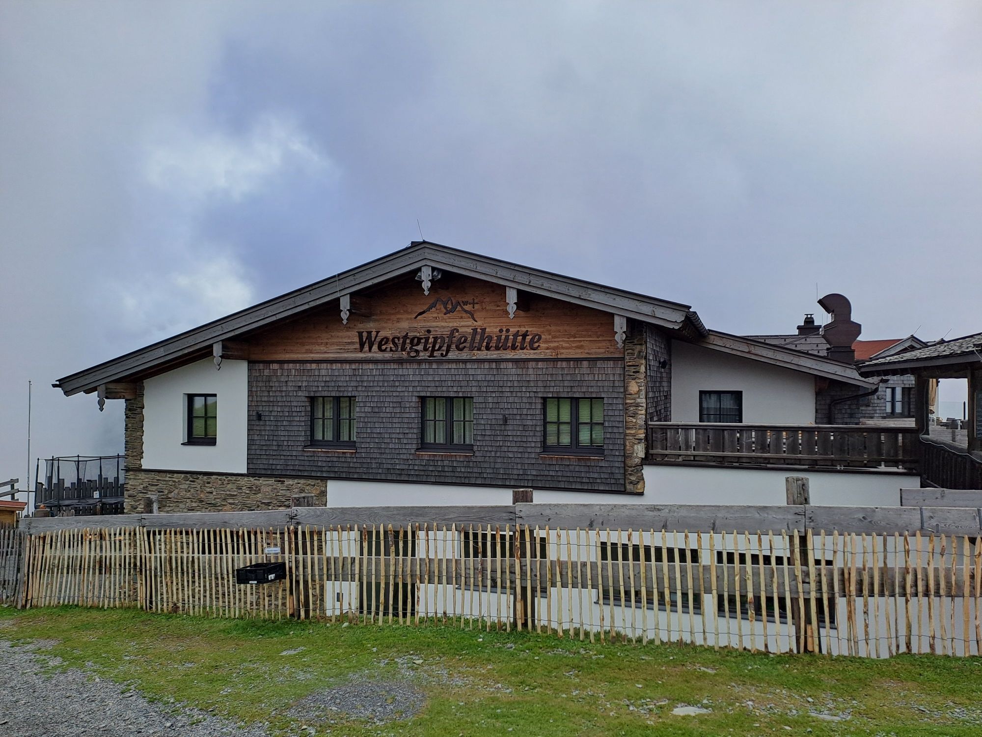
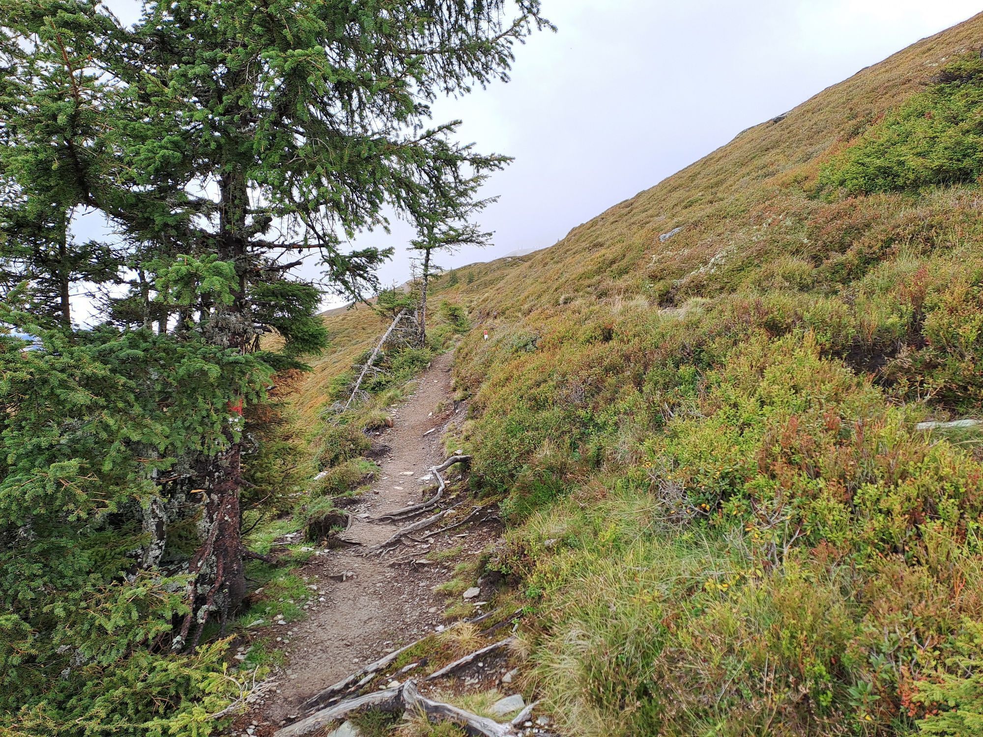
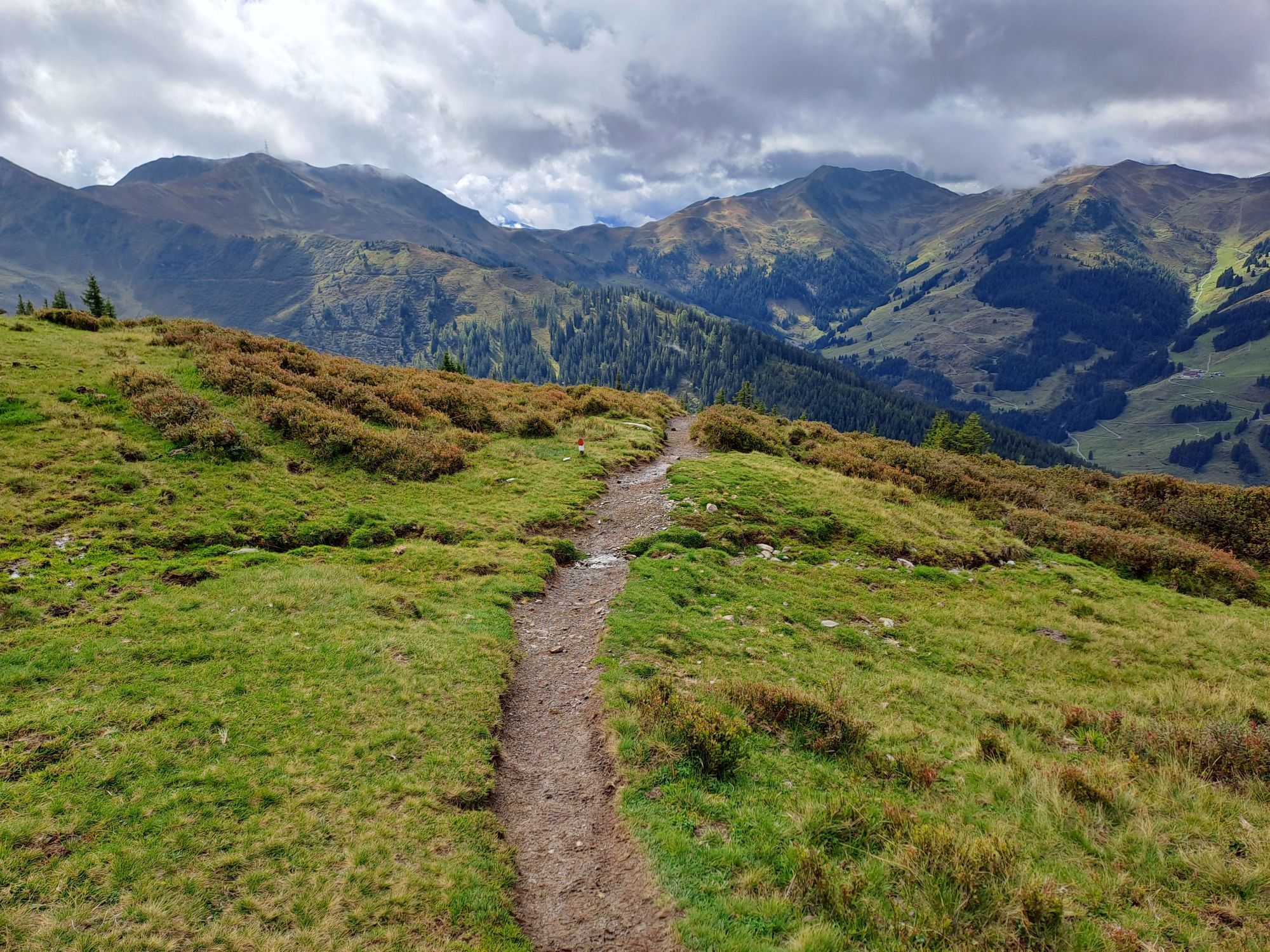
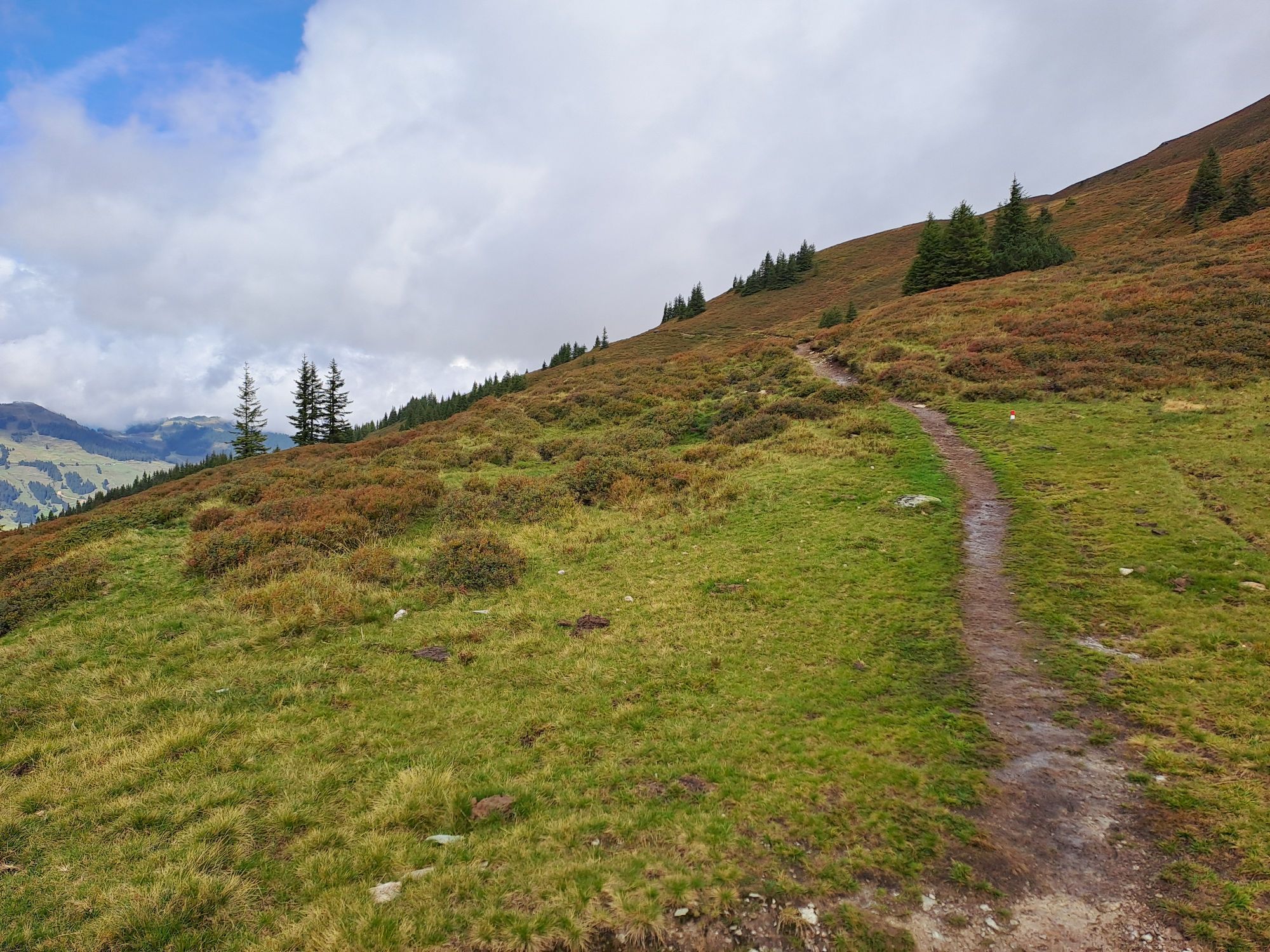
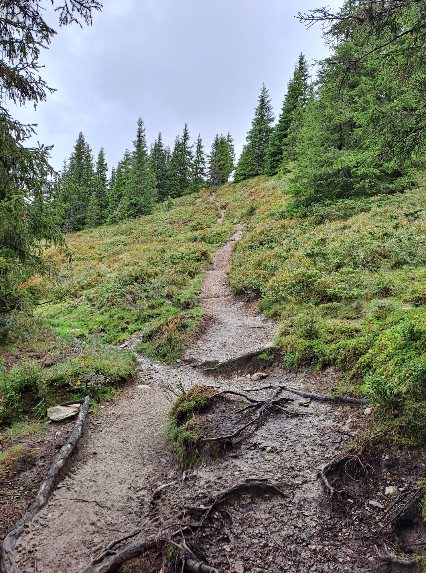
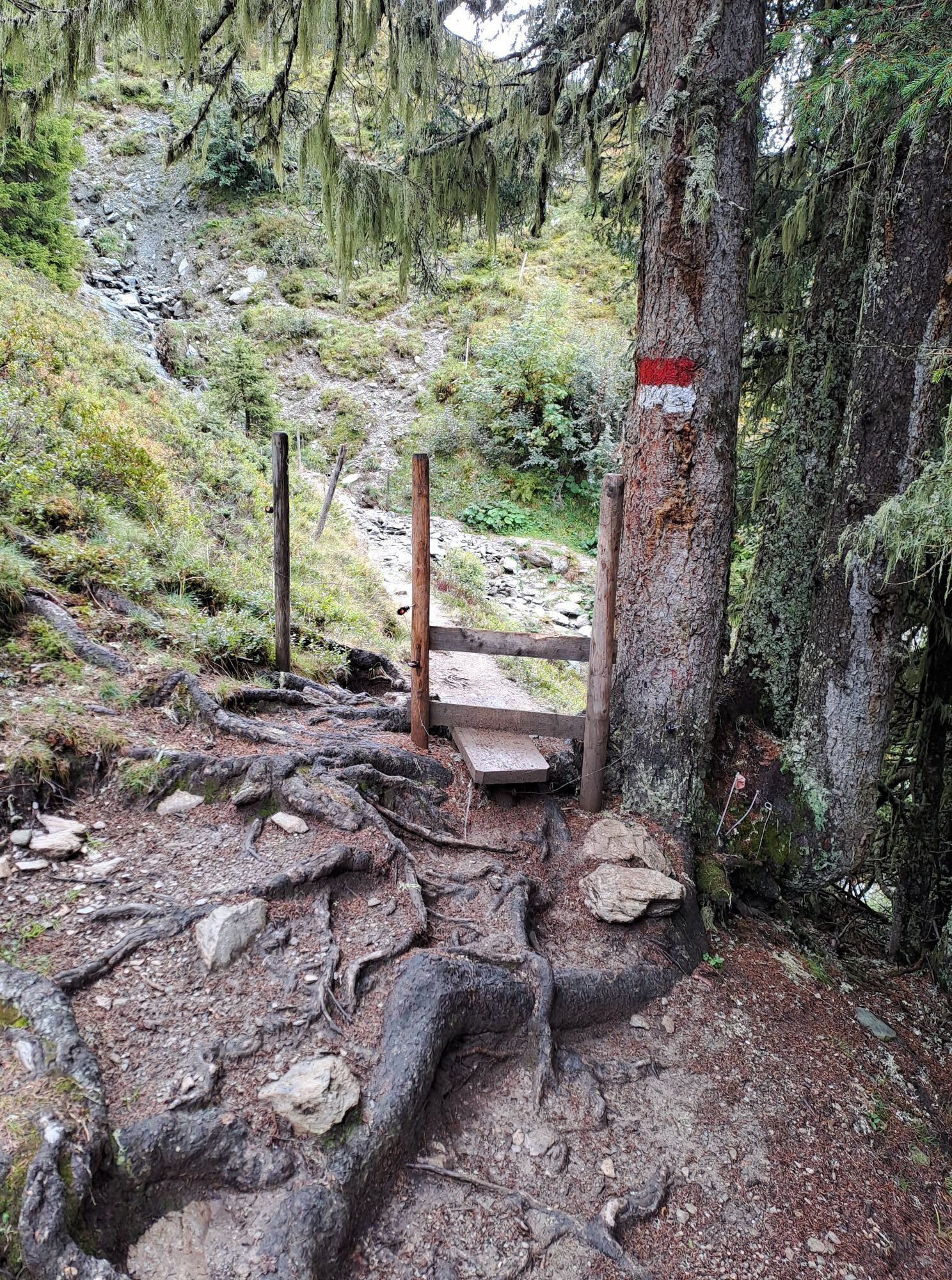
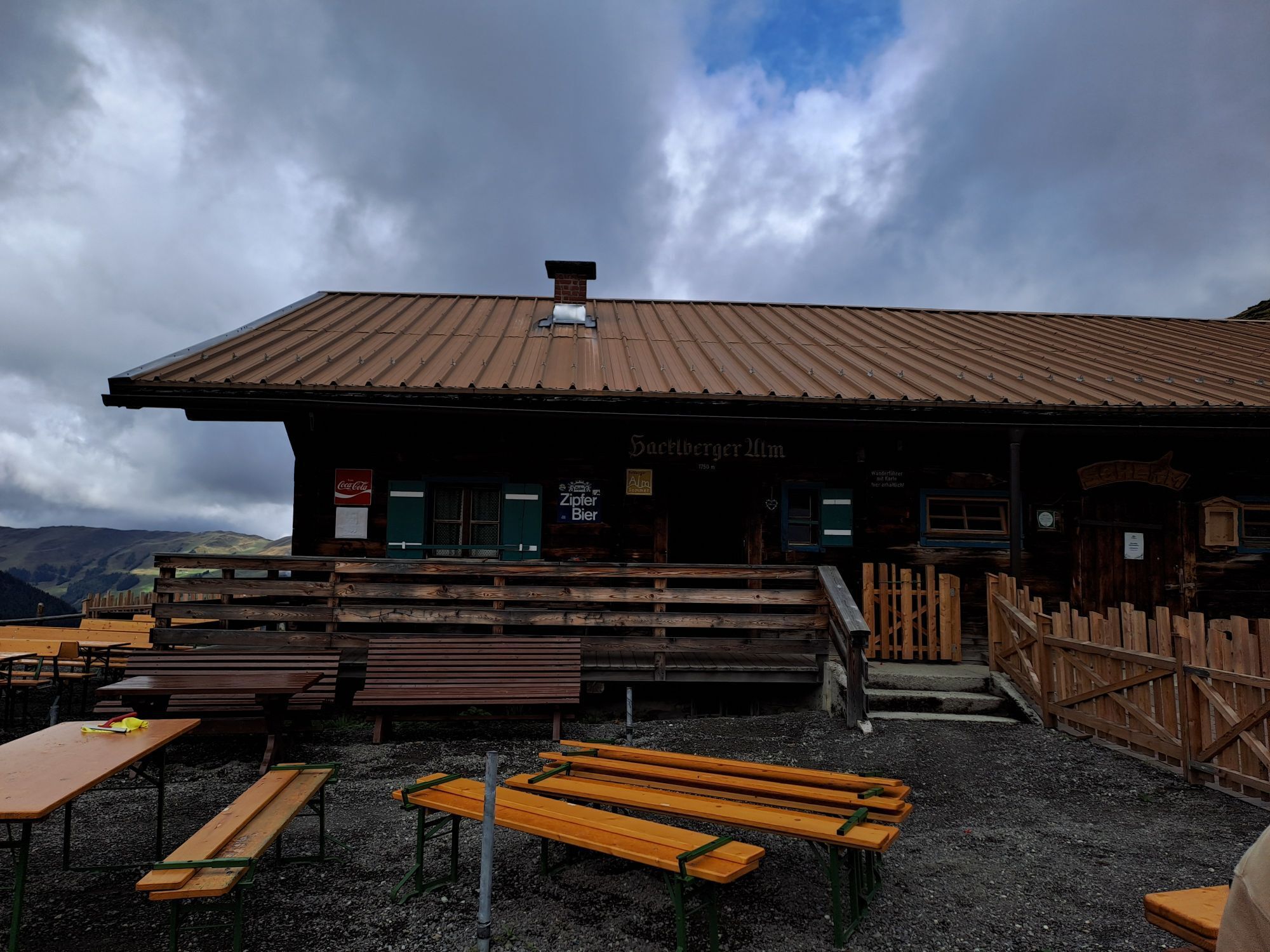
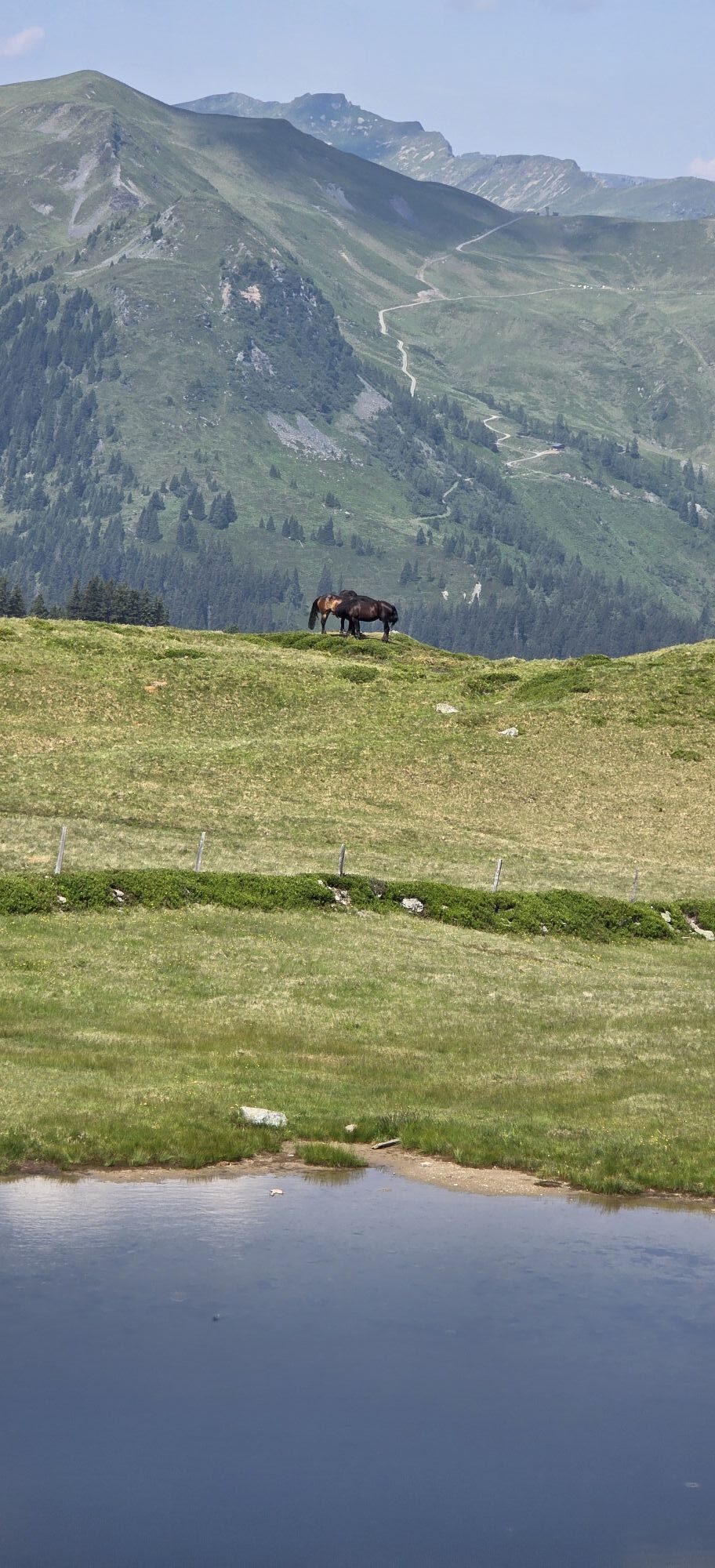
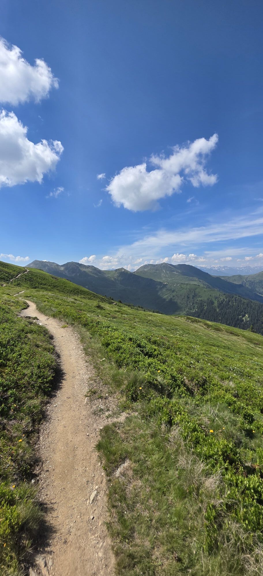
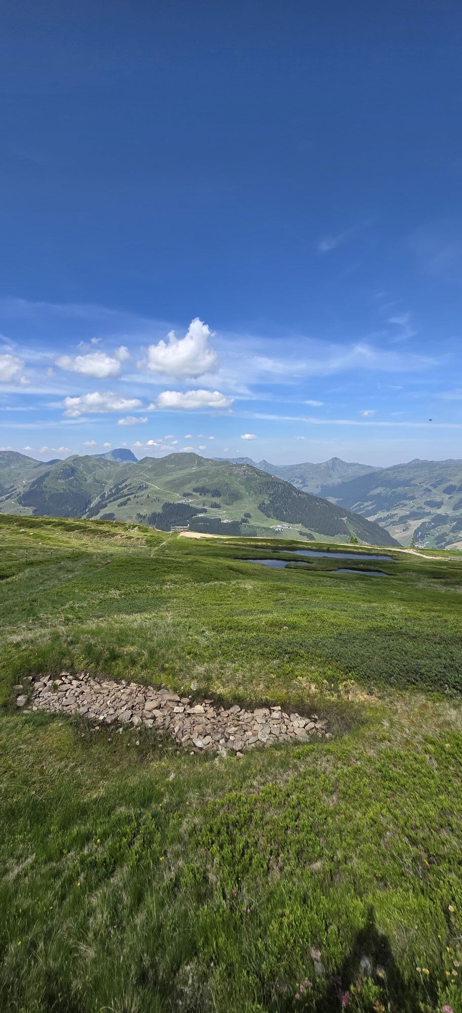
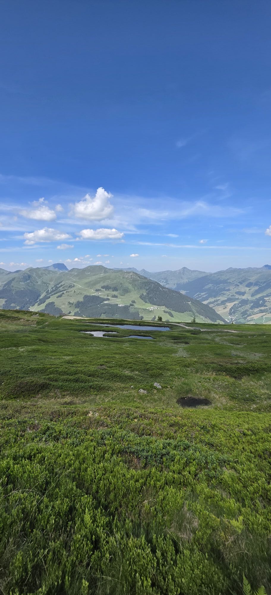
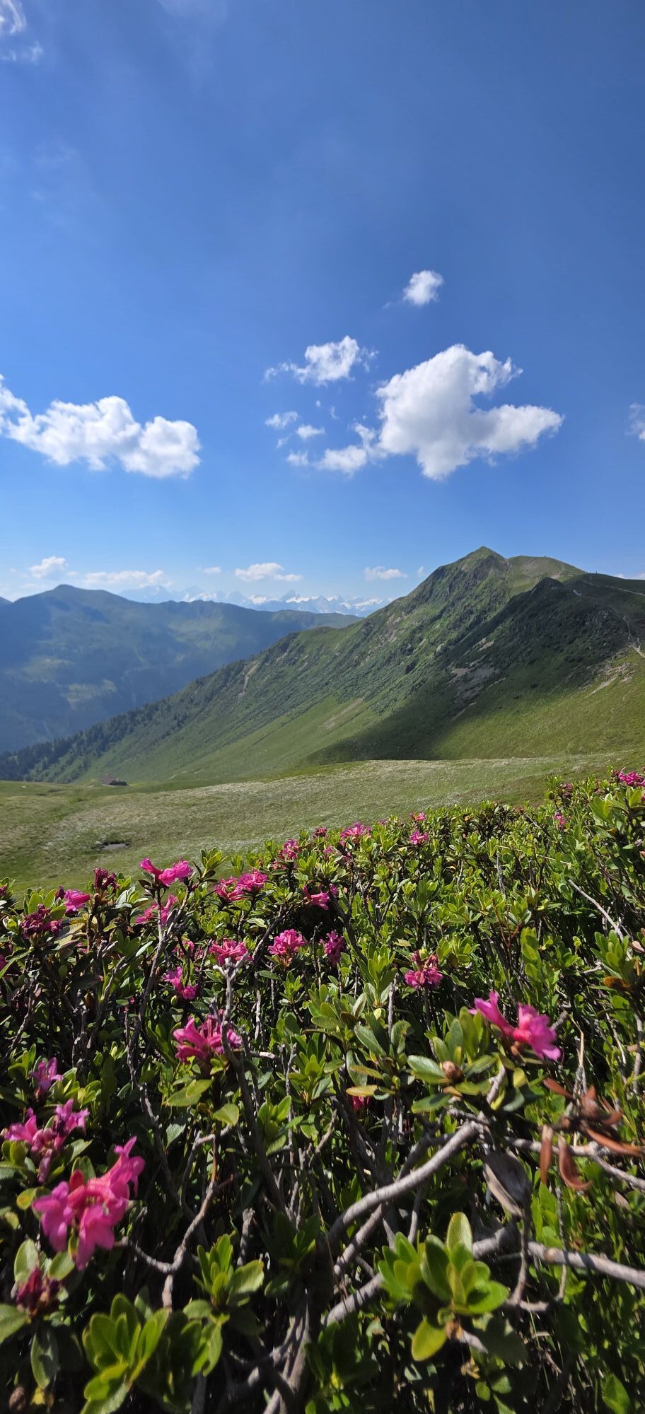
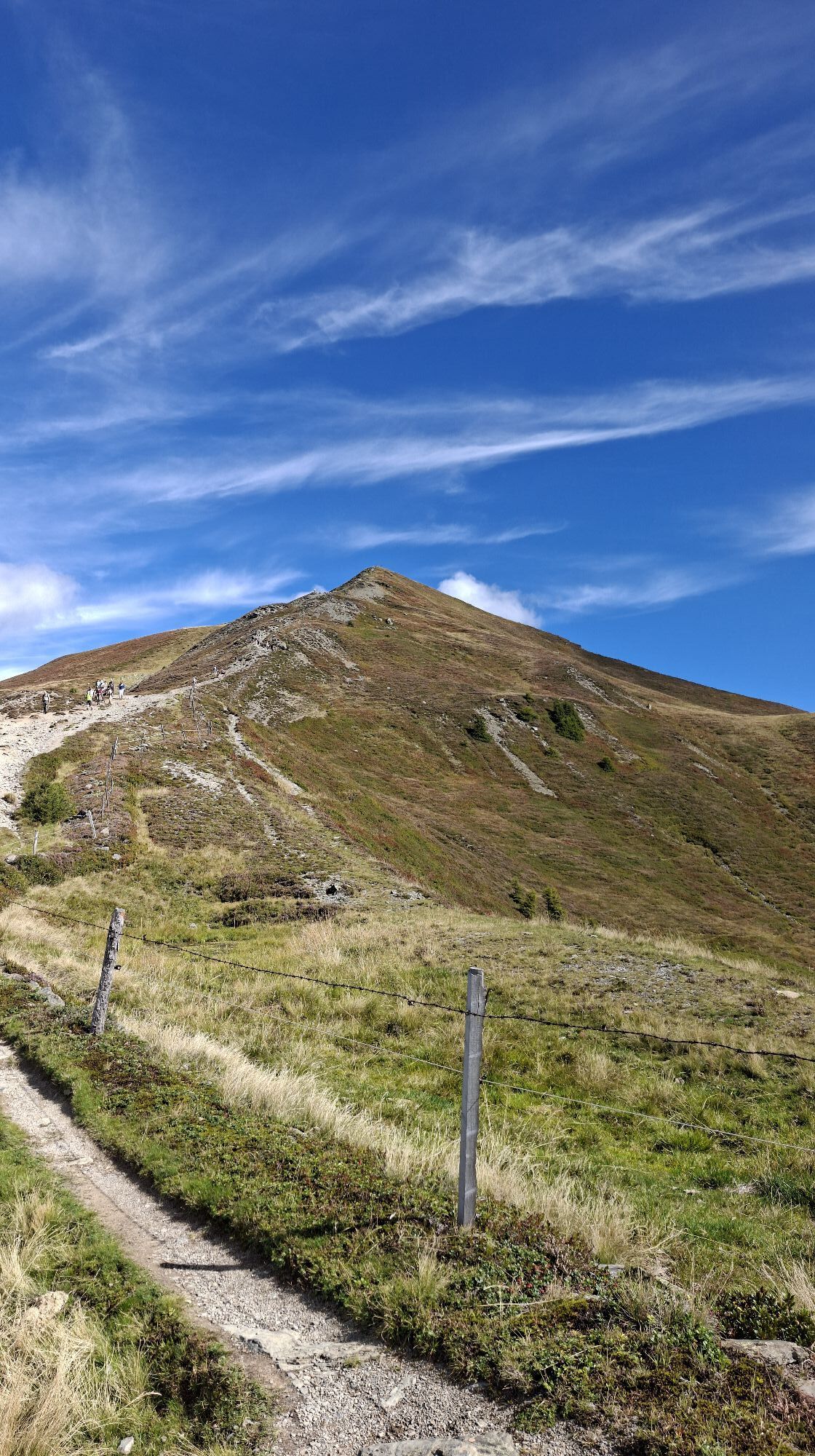
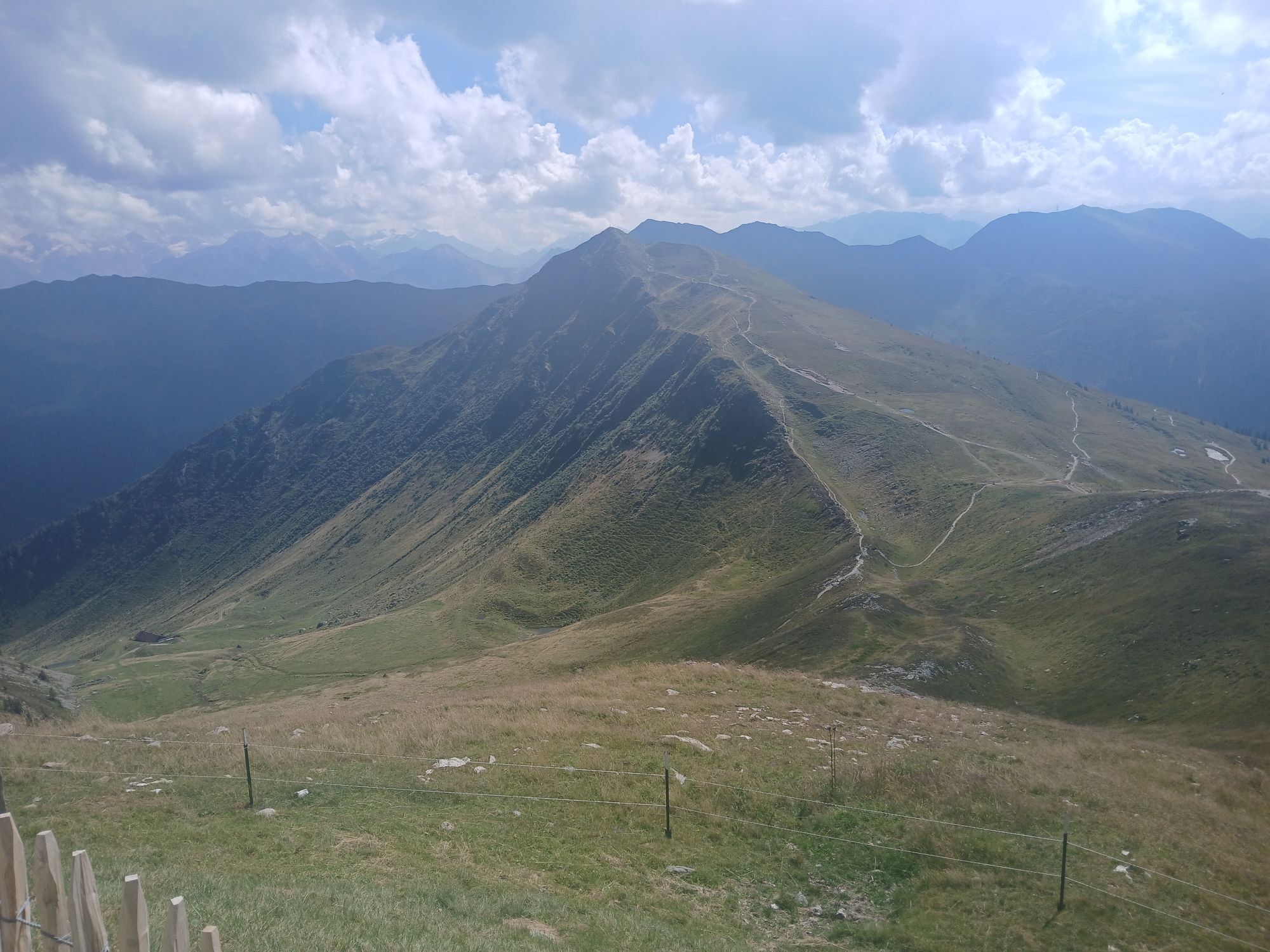
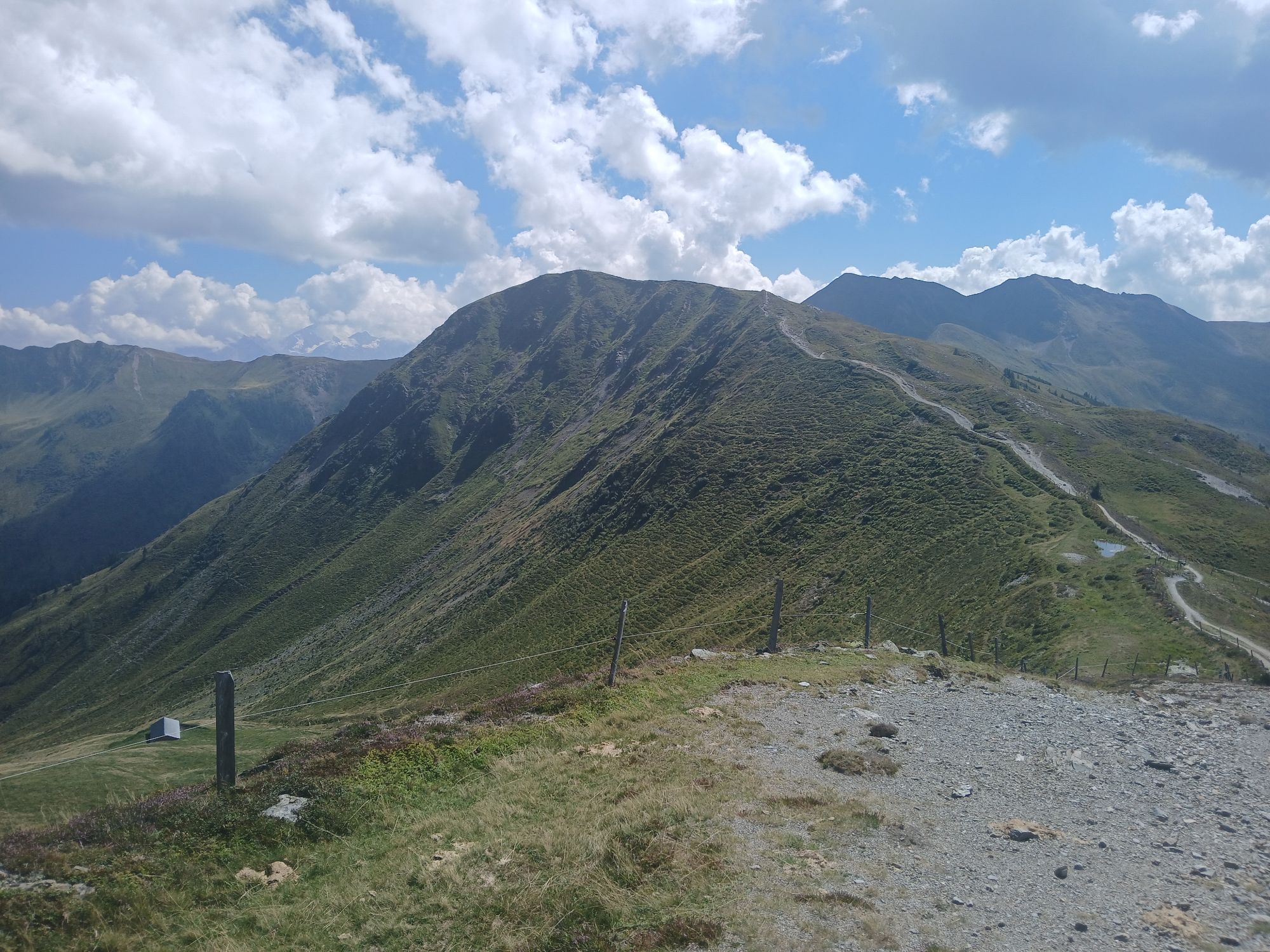
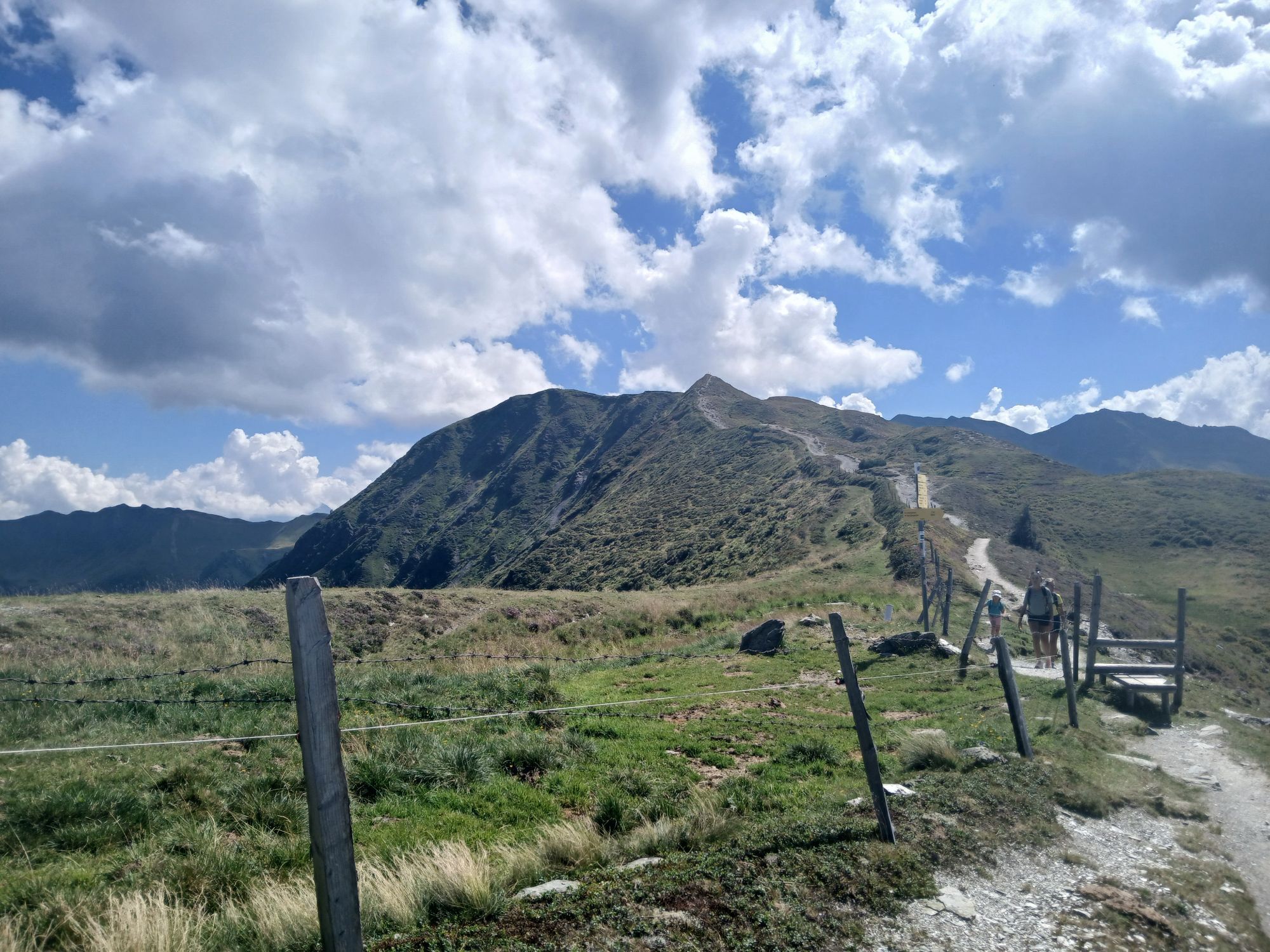
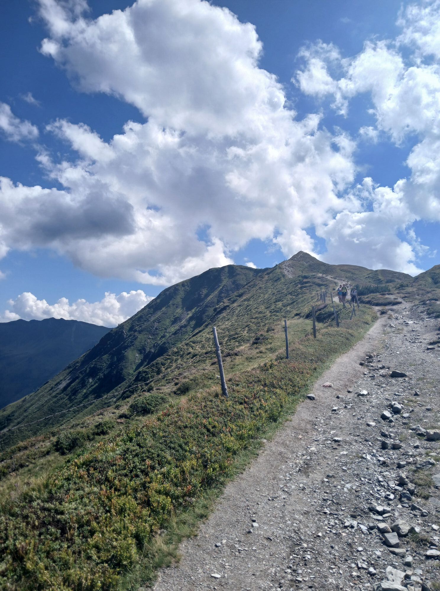
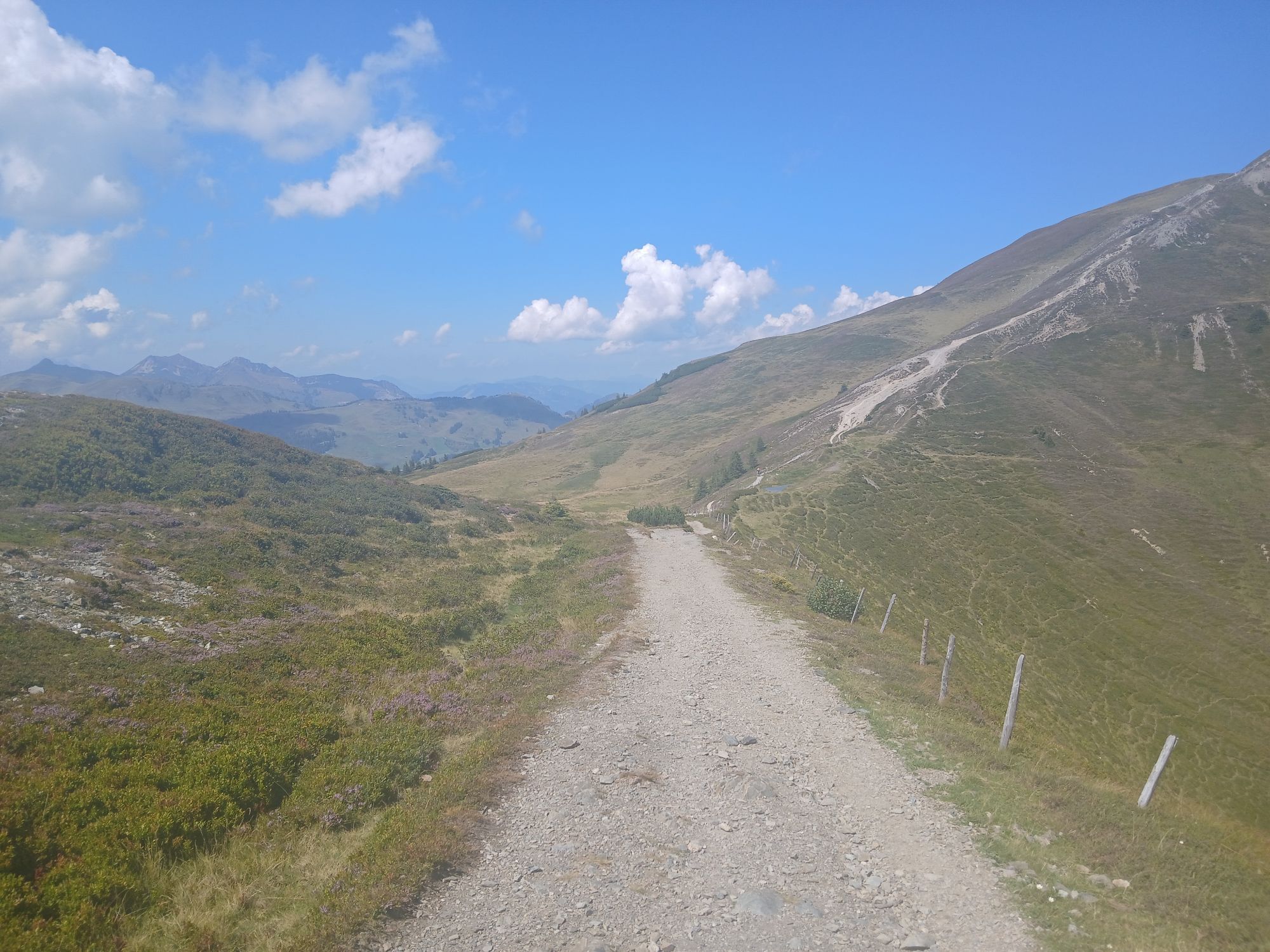
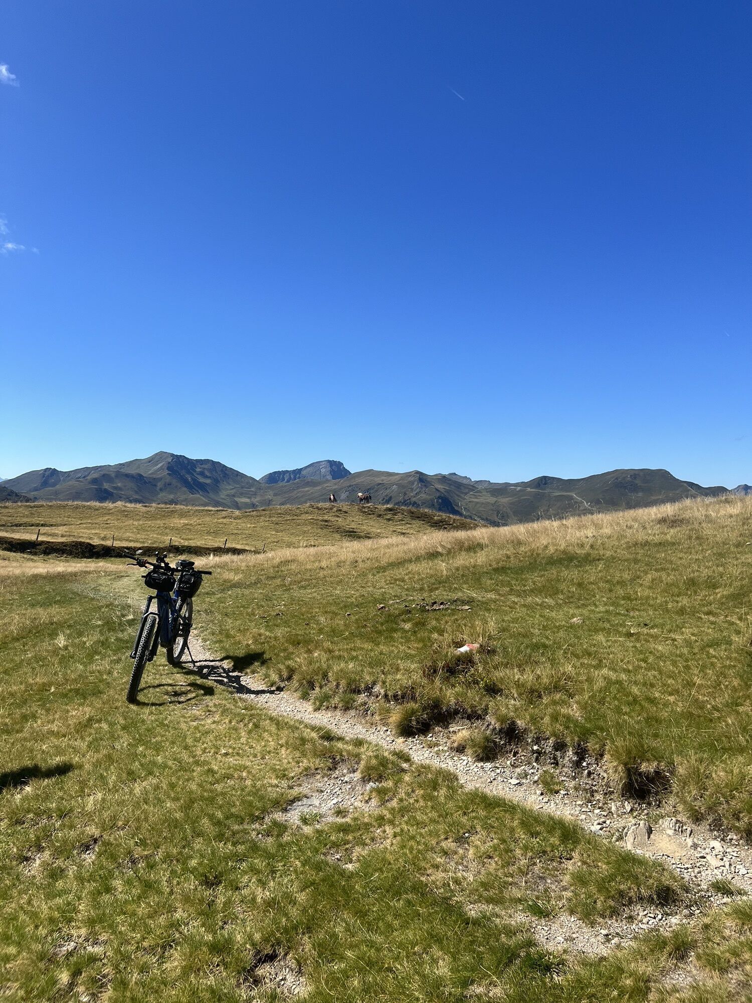
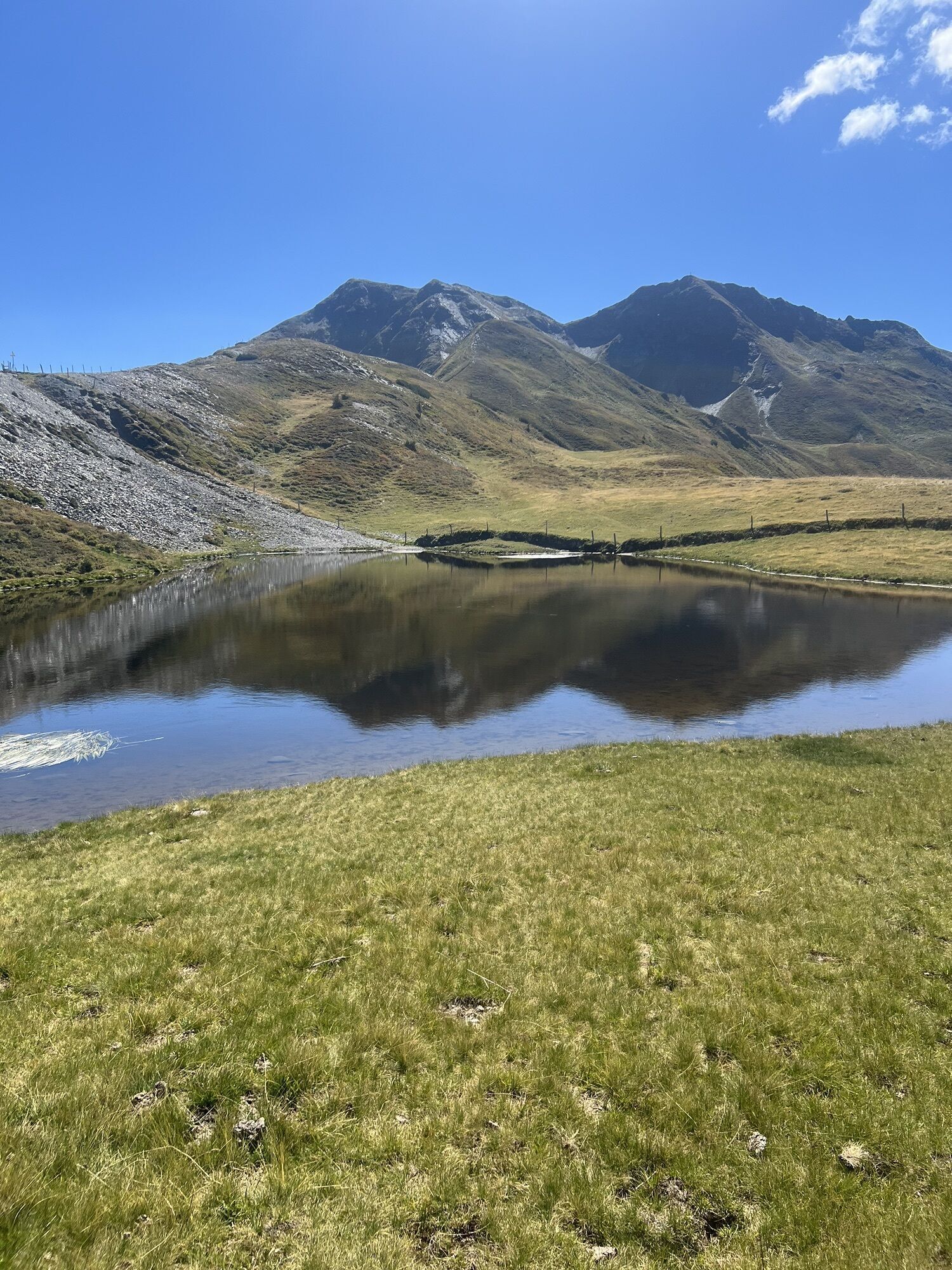
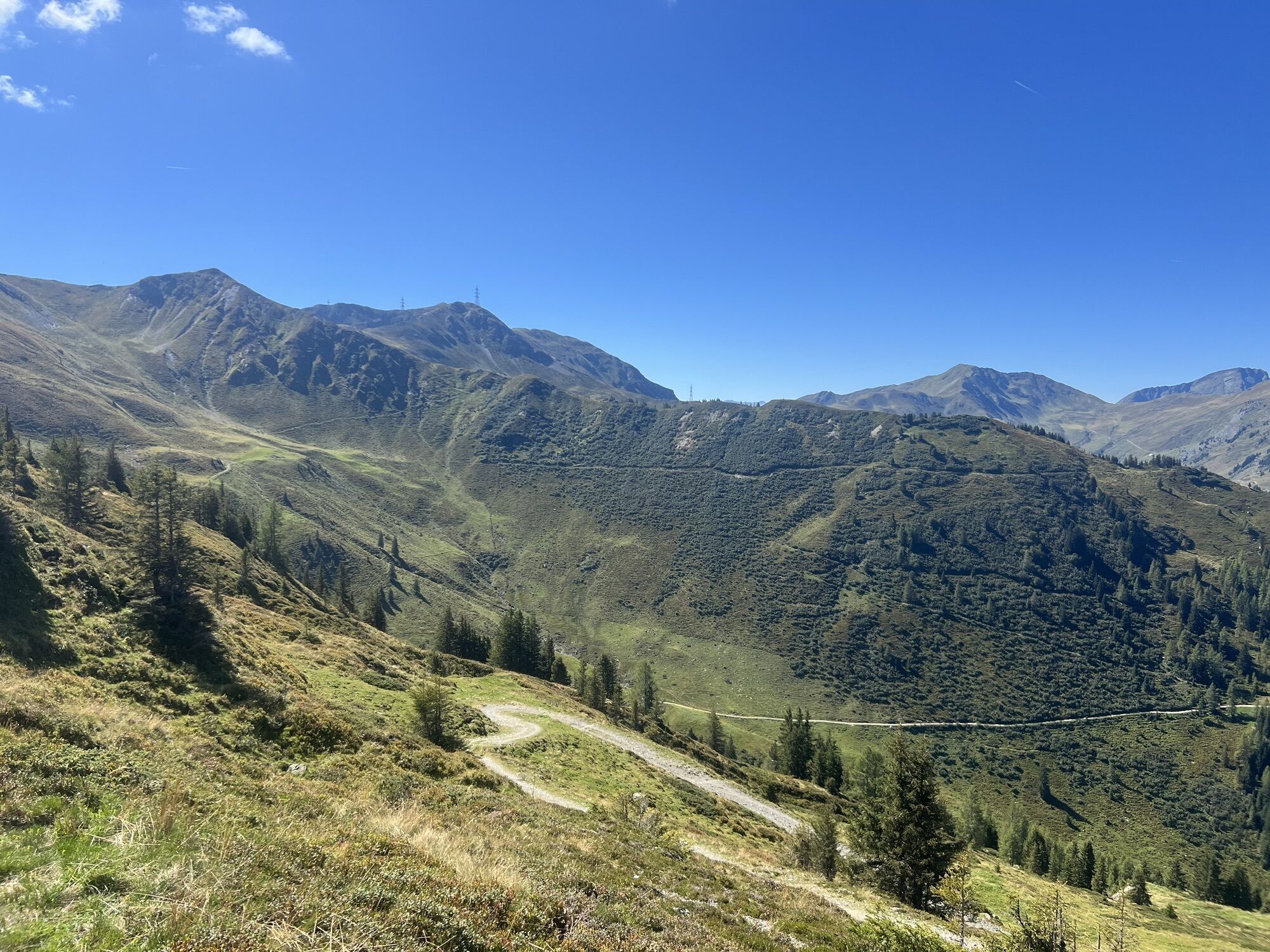
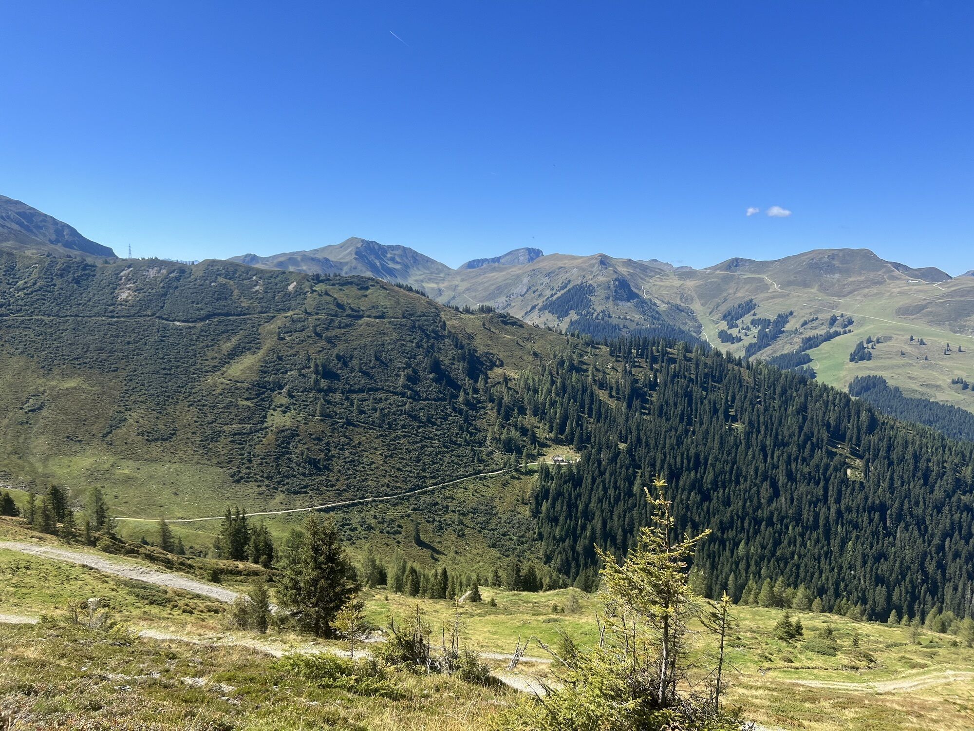
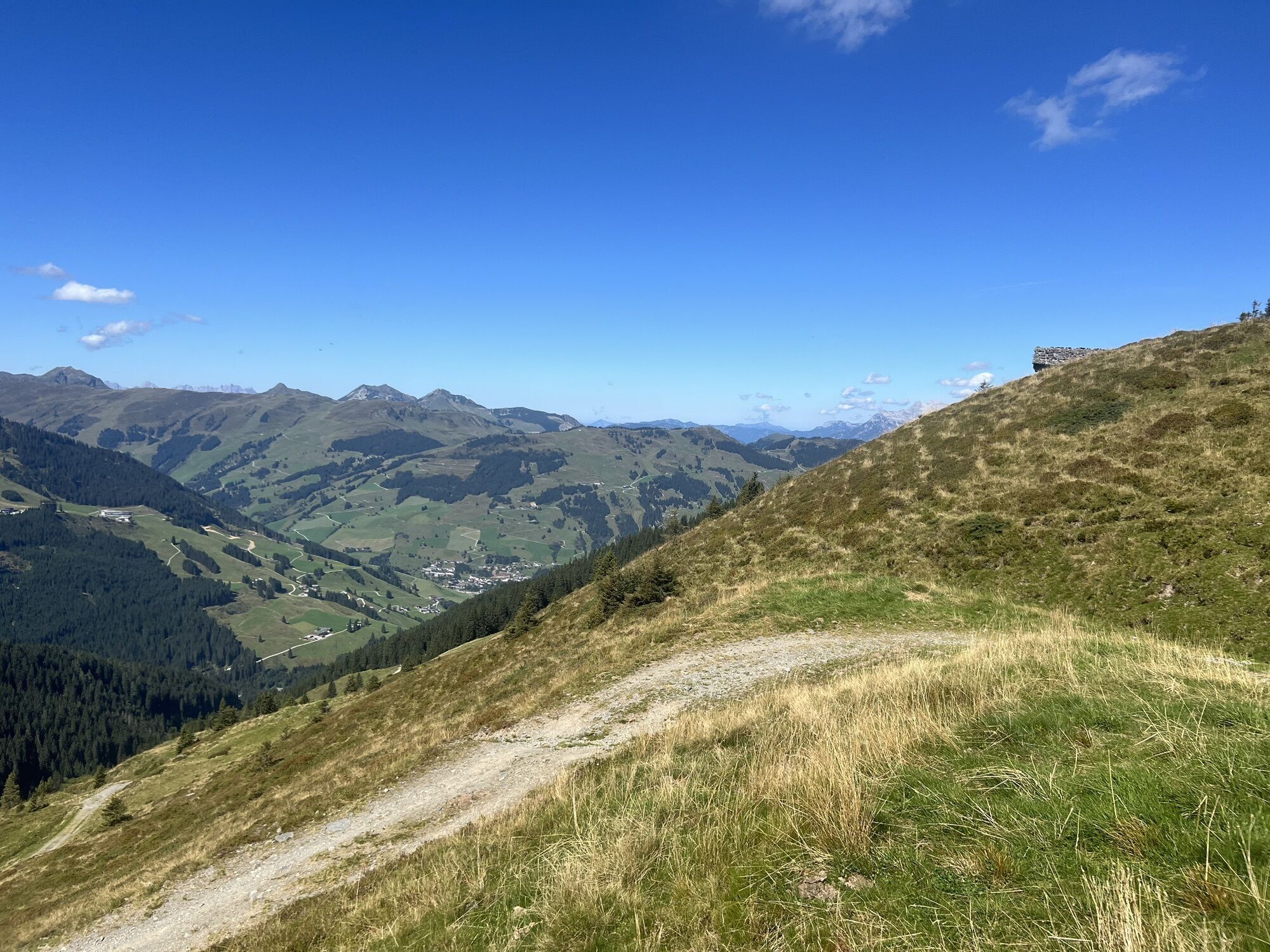
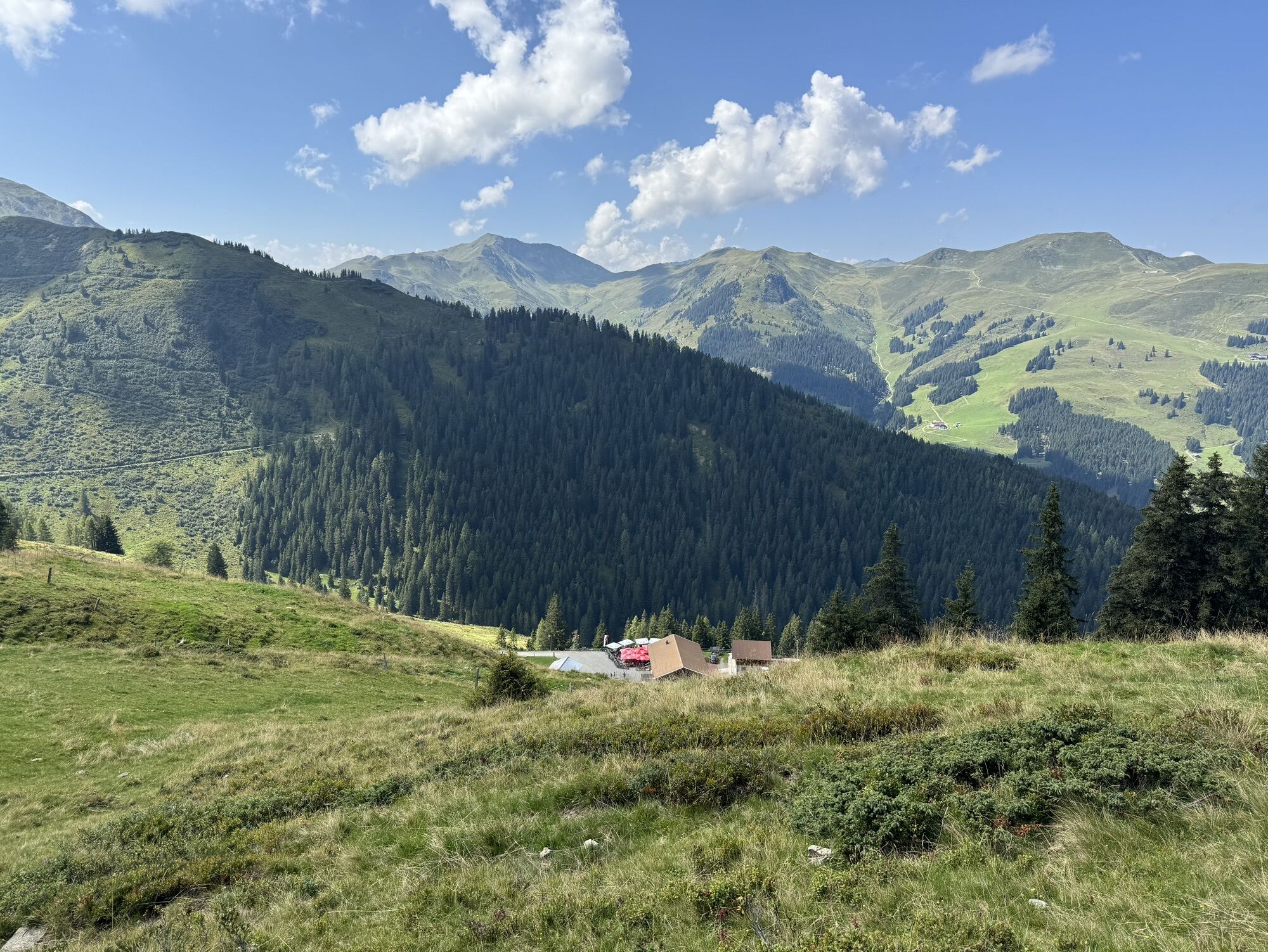
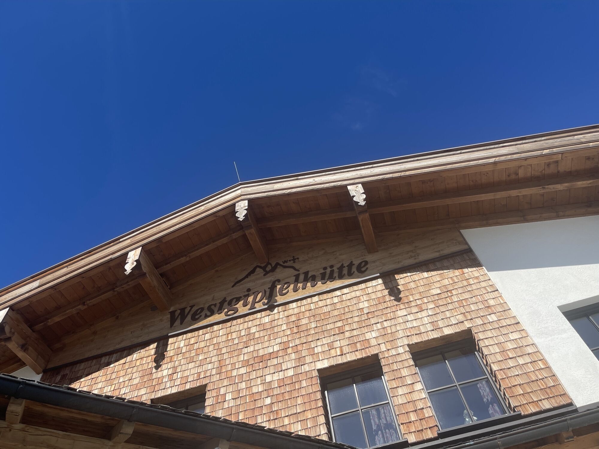
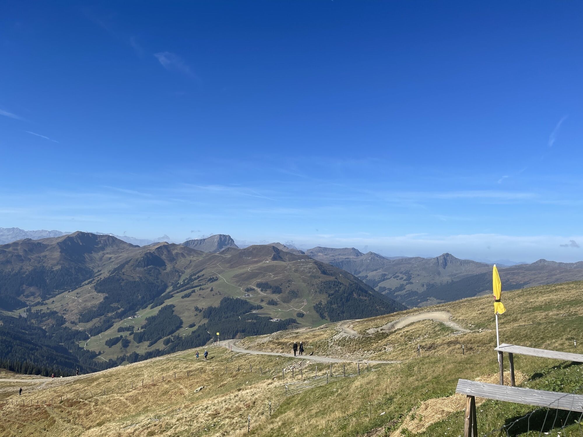
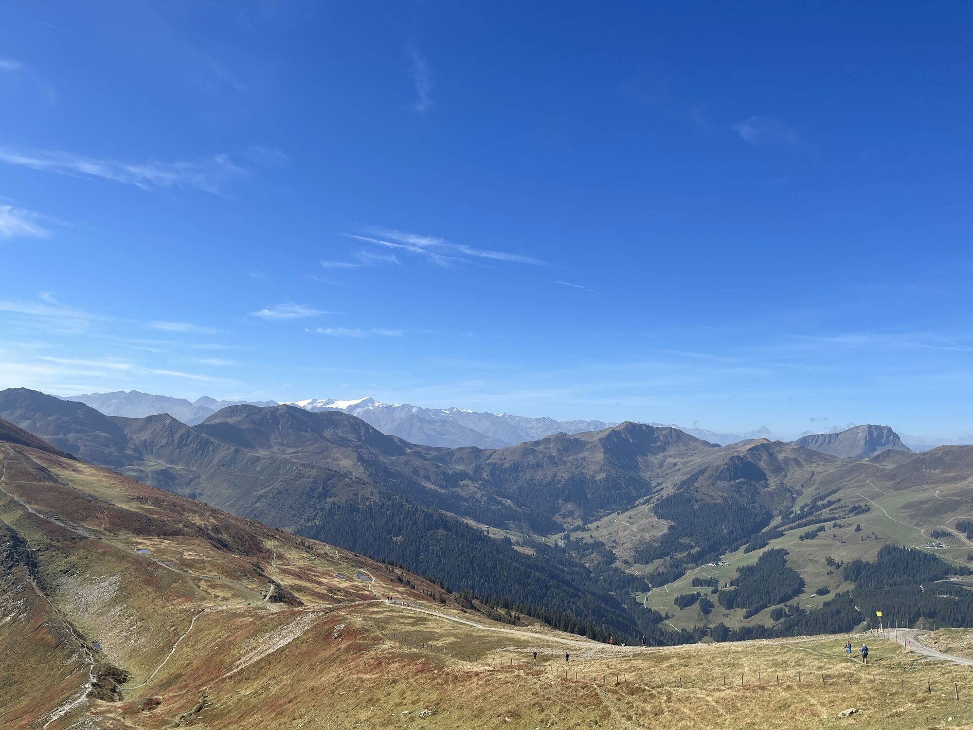
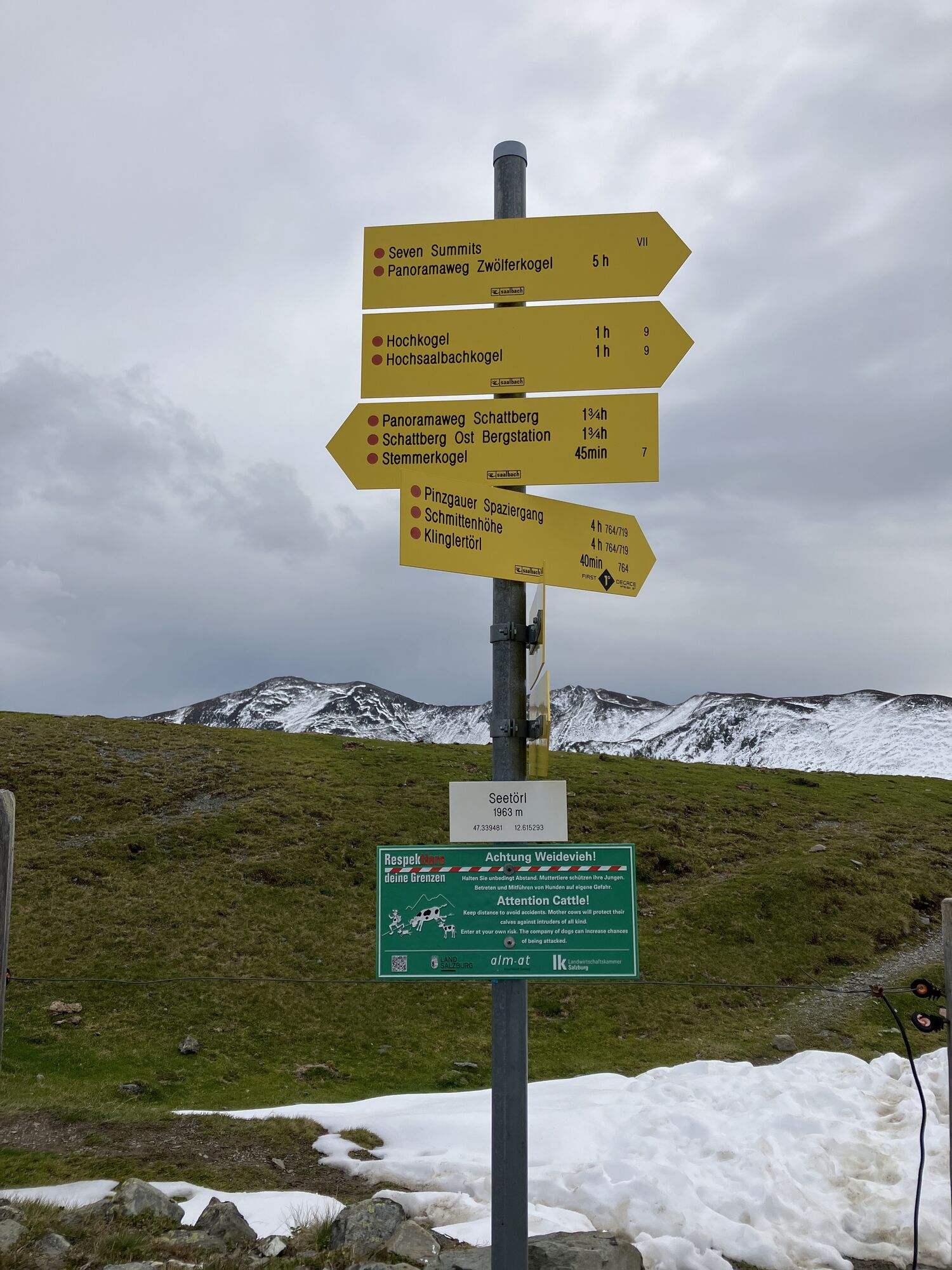
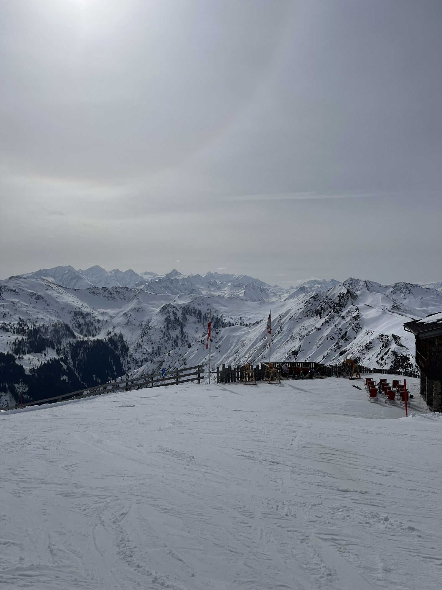
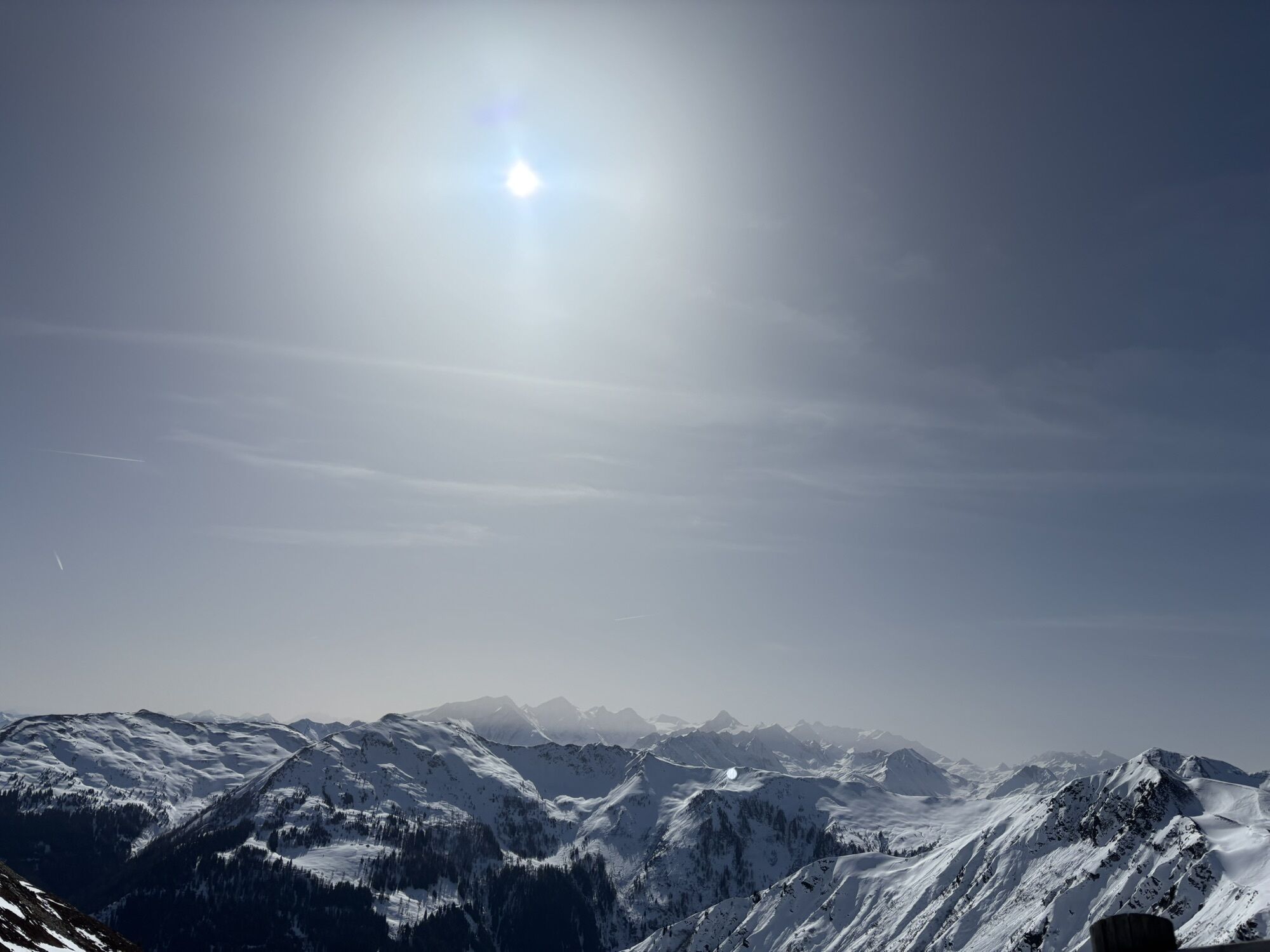
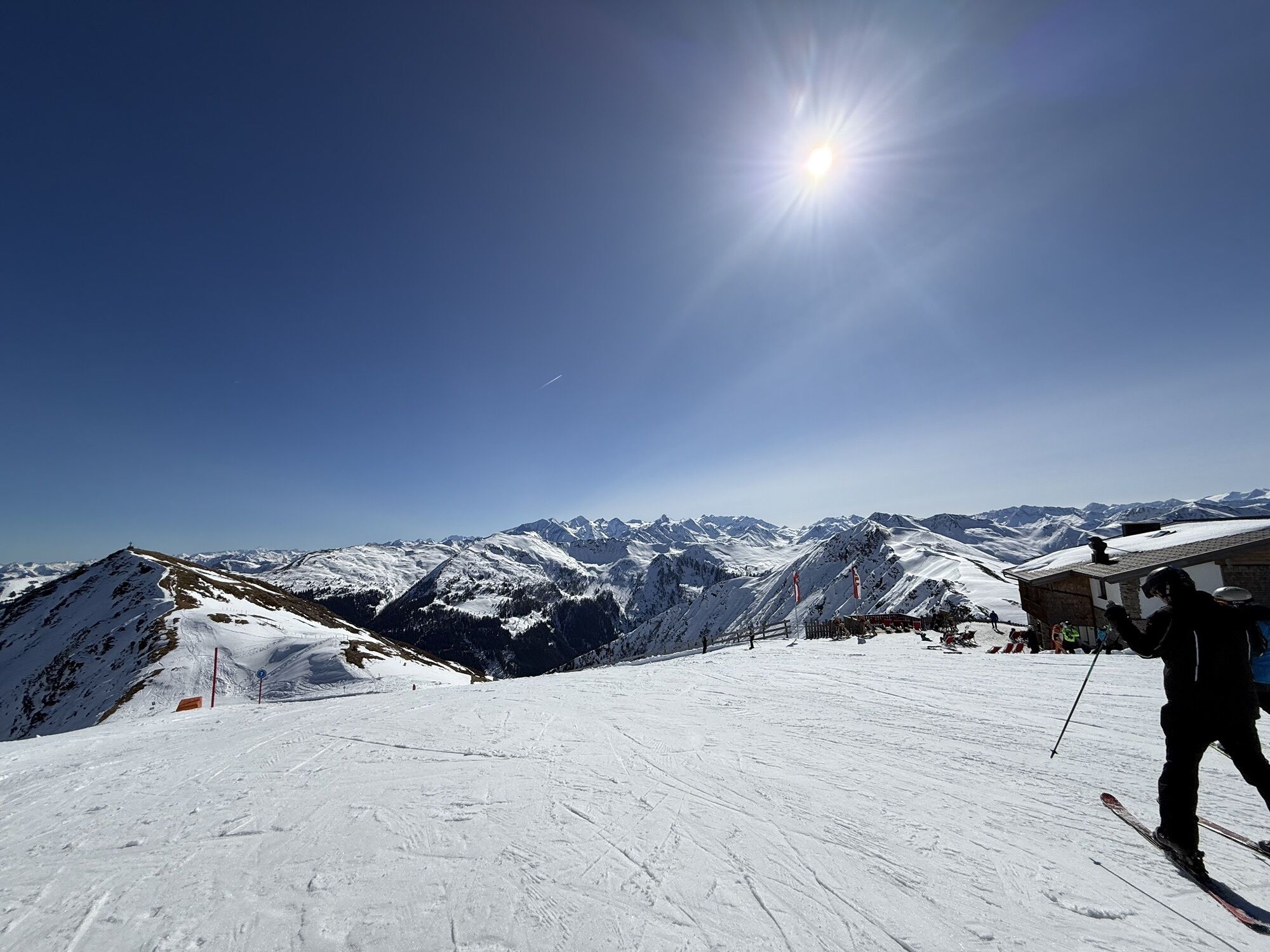
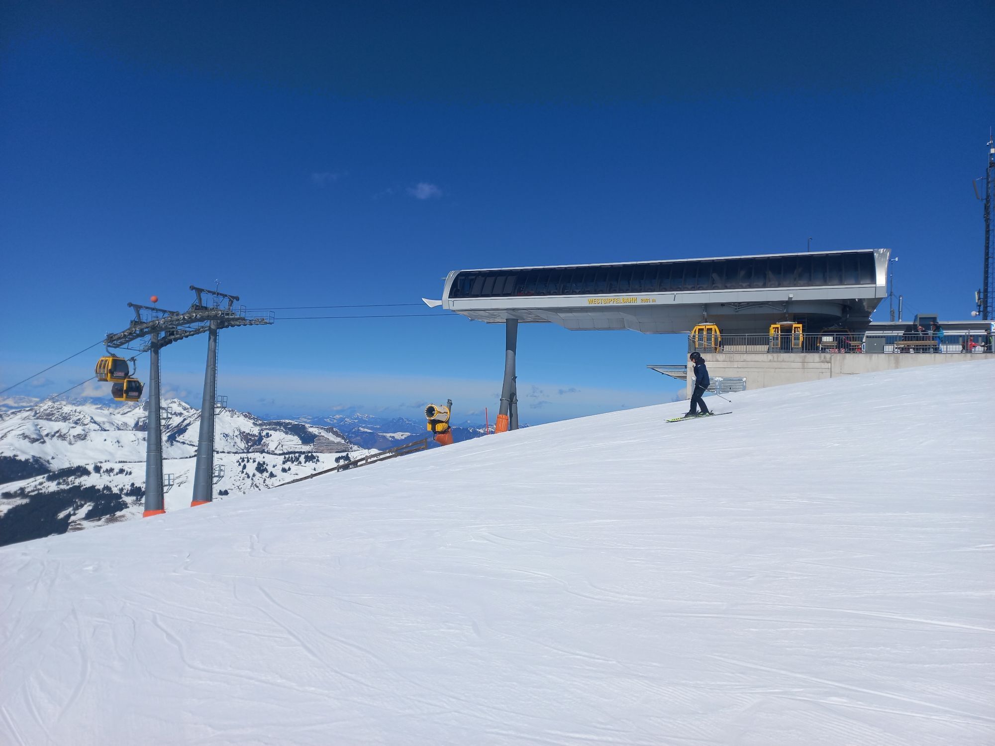
Ascent with the West summit cable car (free for JOKER CARD holders) to the Schattberg West summit. From there, start heading south, first downhill, then along the path slightly to moderately ascending...
Did you know? Saalbach Hinterglemm has been awarded the ‘Hiking Seal of Quality’ by the organisation ‘Austria’s Hiking Villages’. This certificate requires a destination to meet strict quality standards in its hiking facilities and ensures that you’ll have a great time in the mountains.

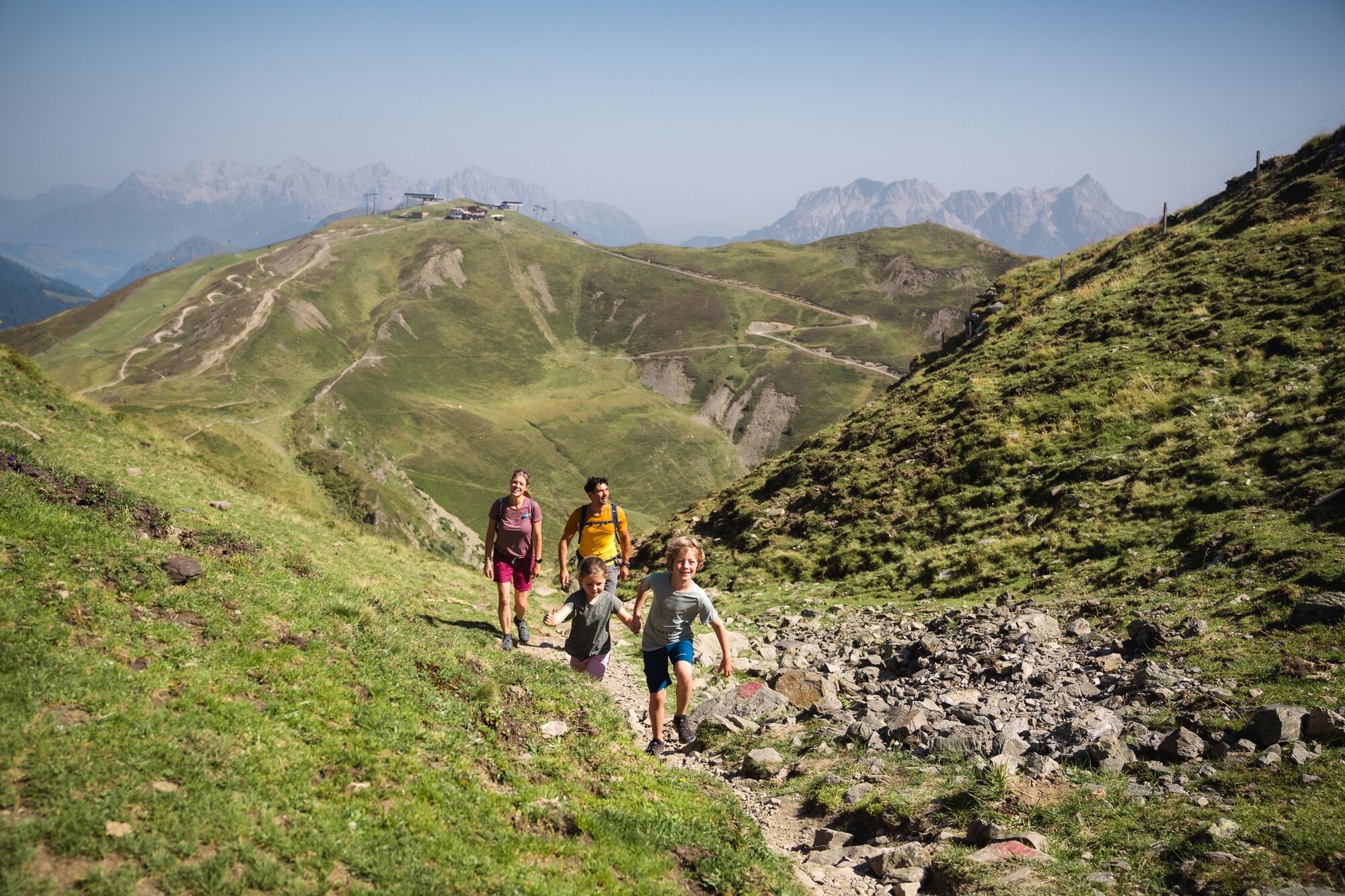
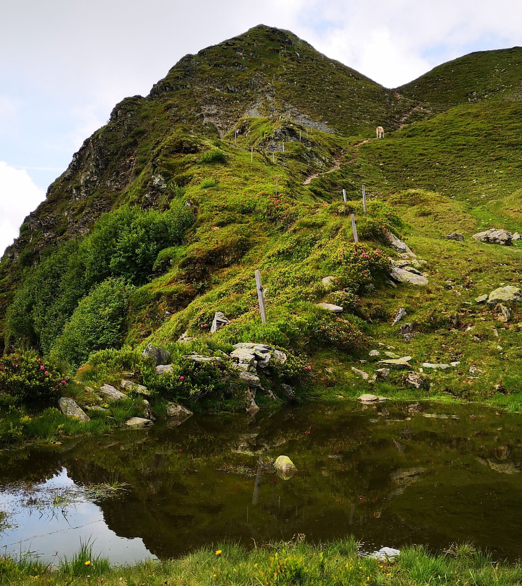
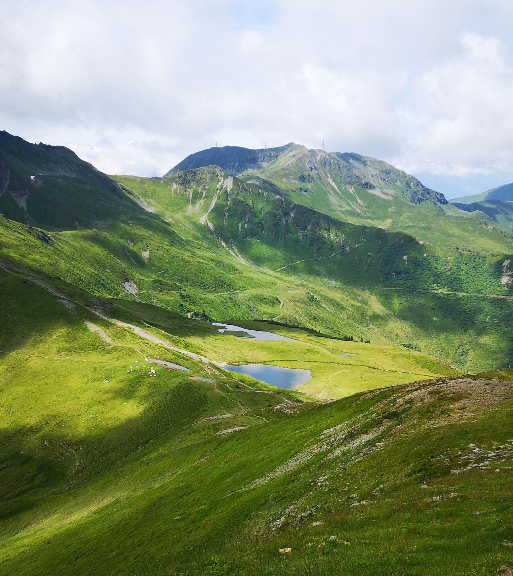

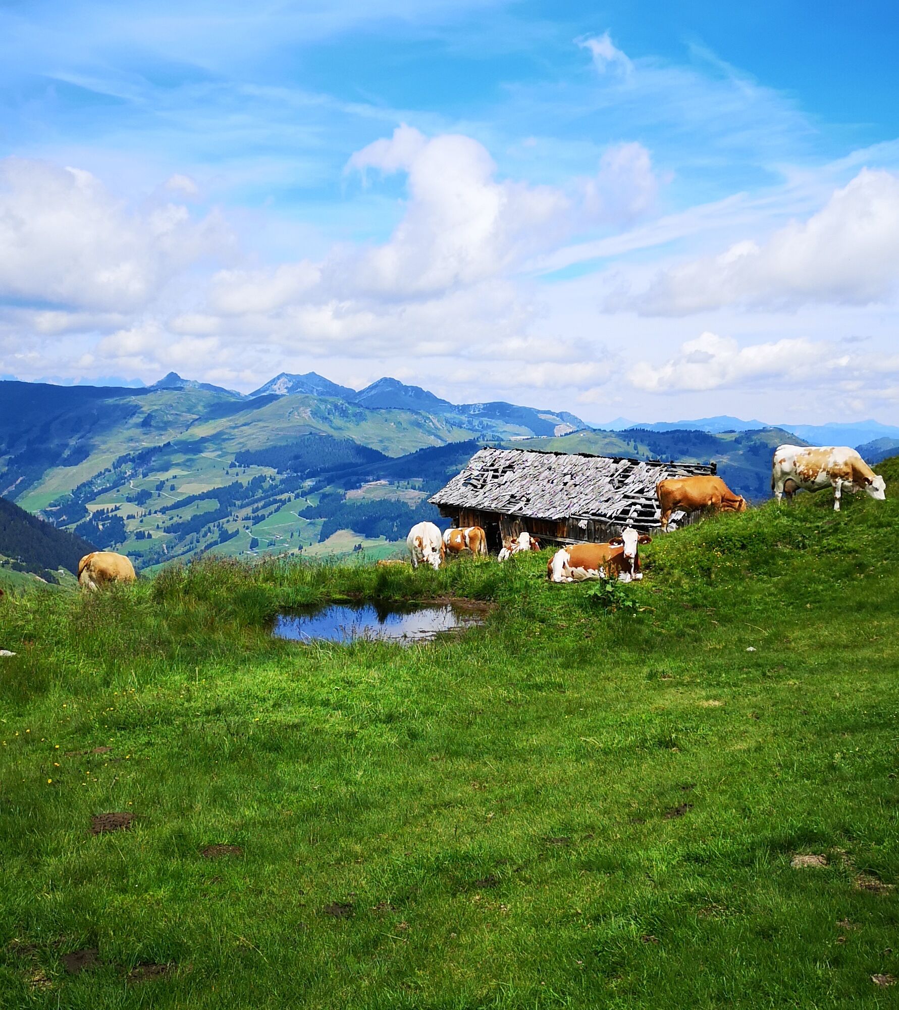
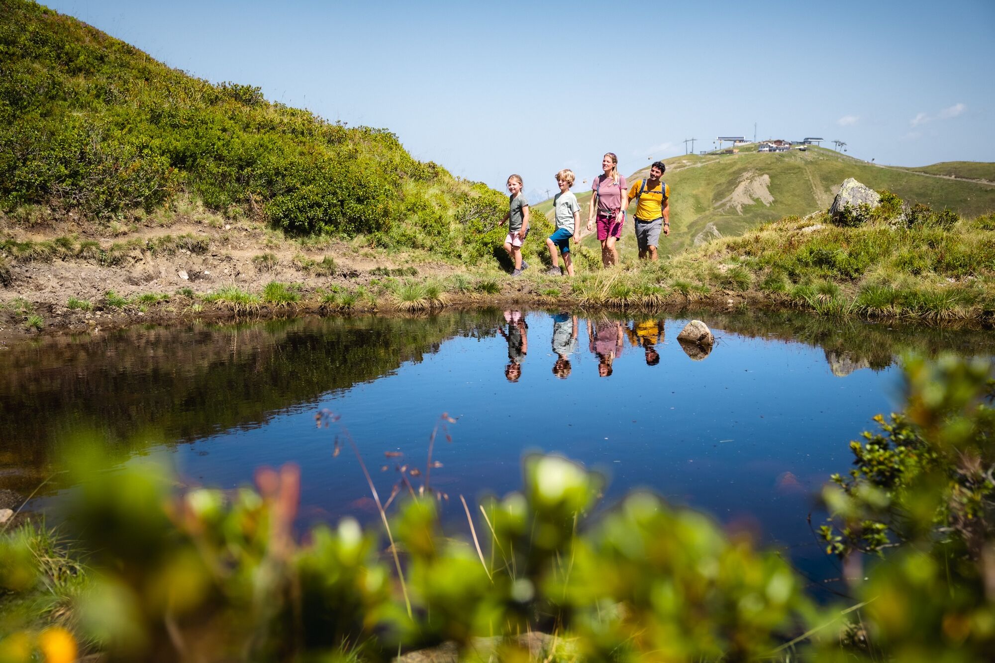

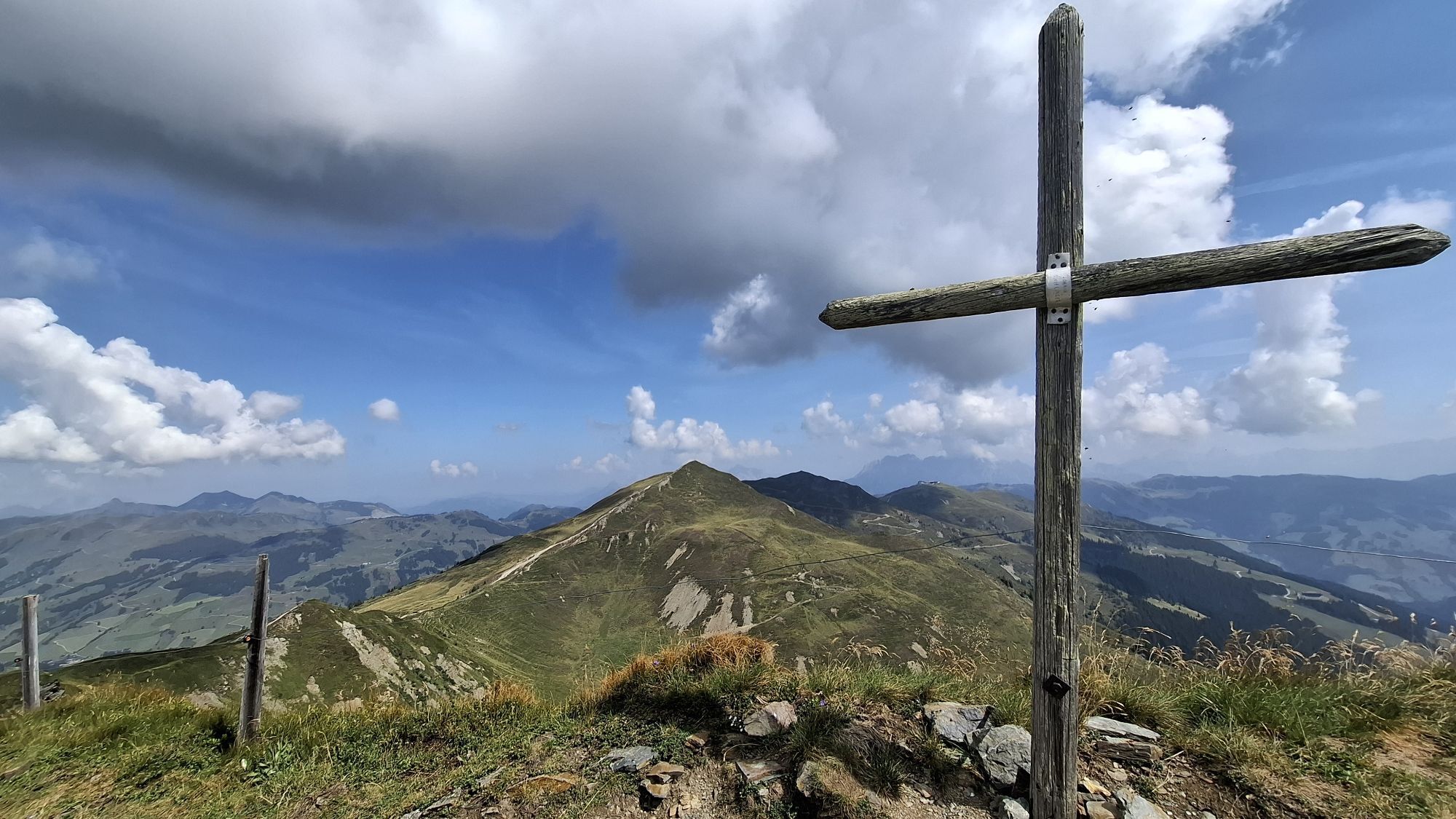
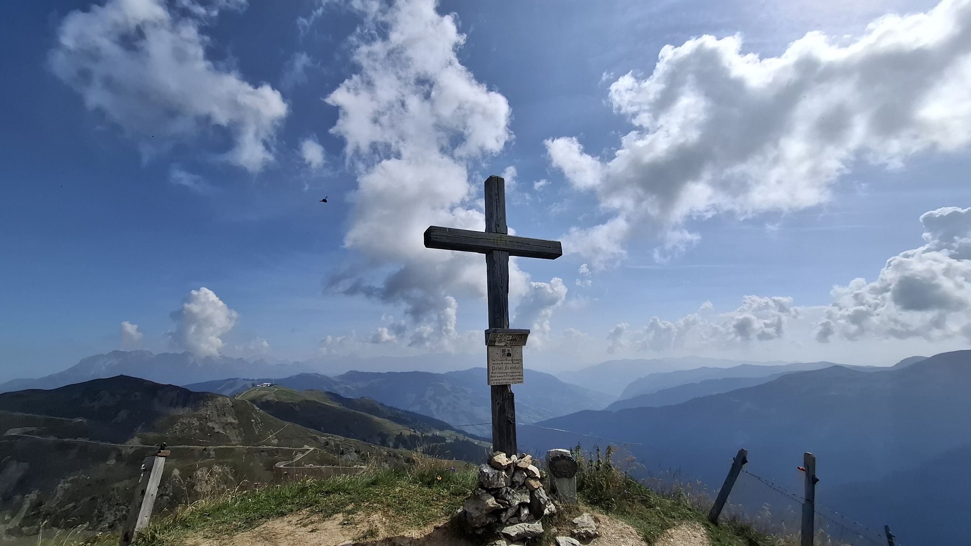
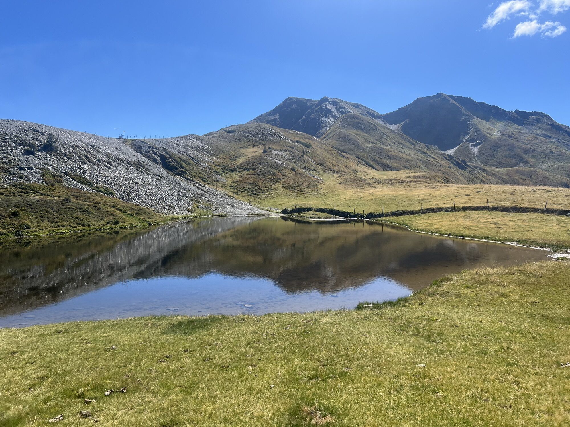
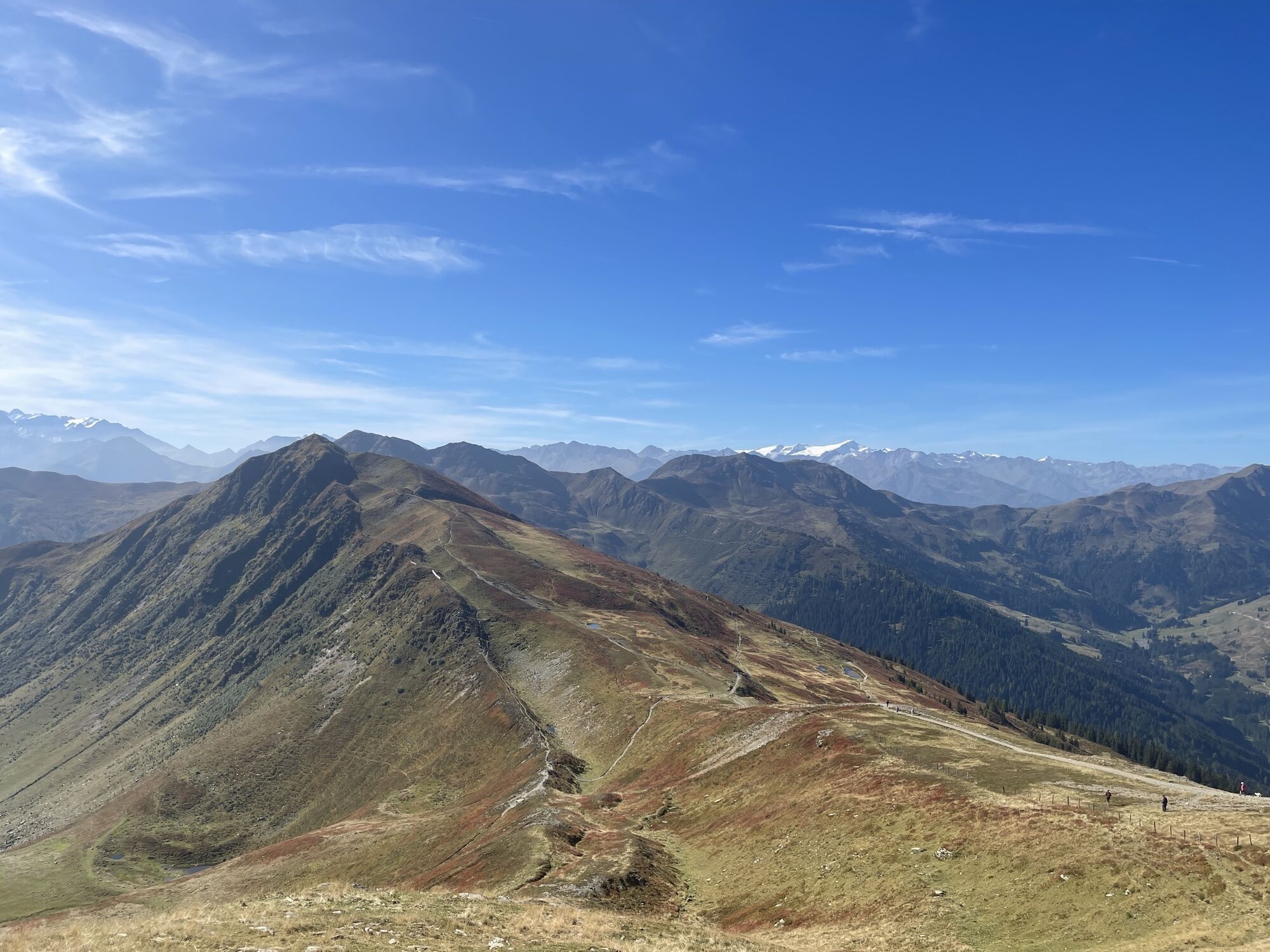
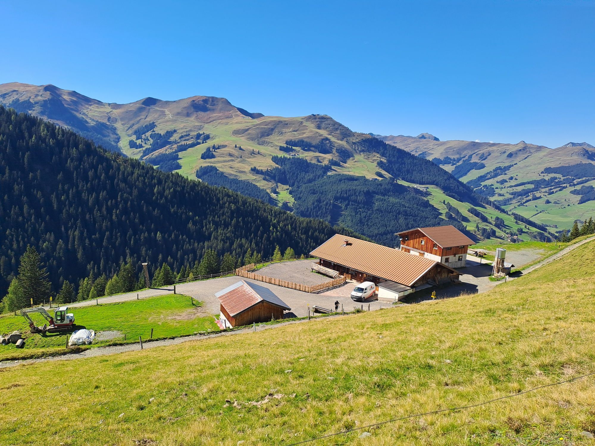
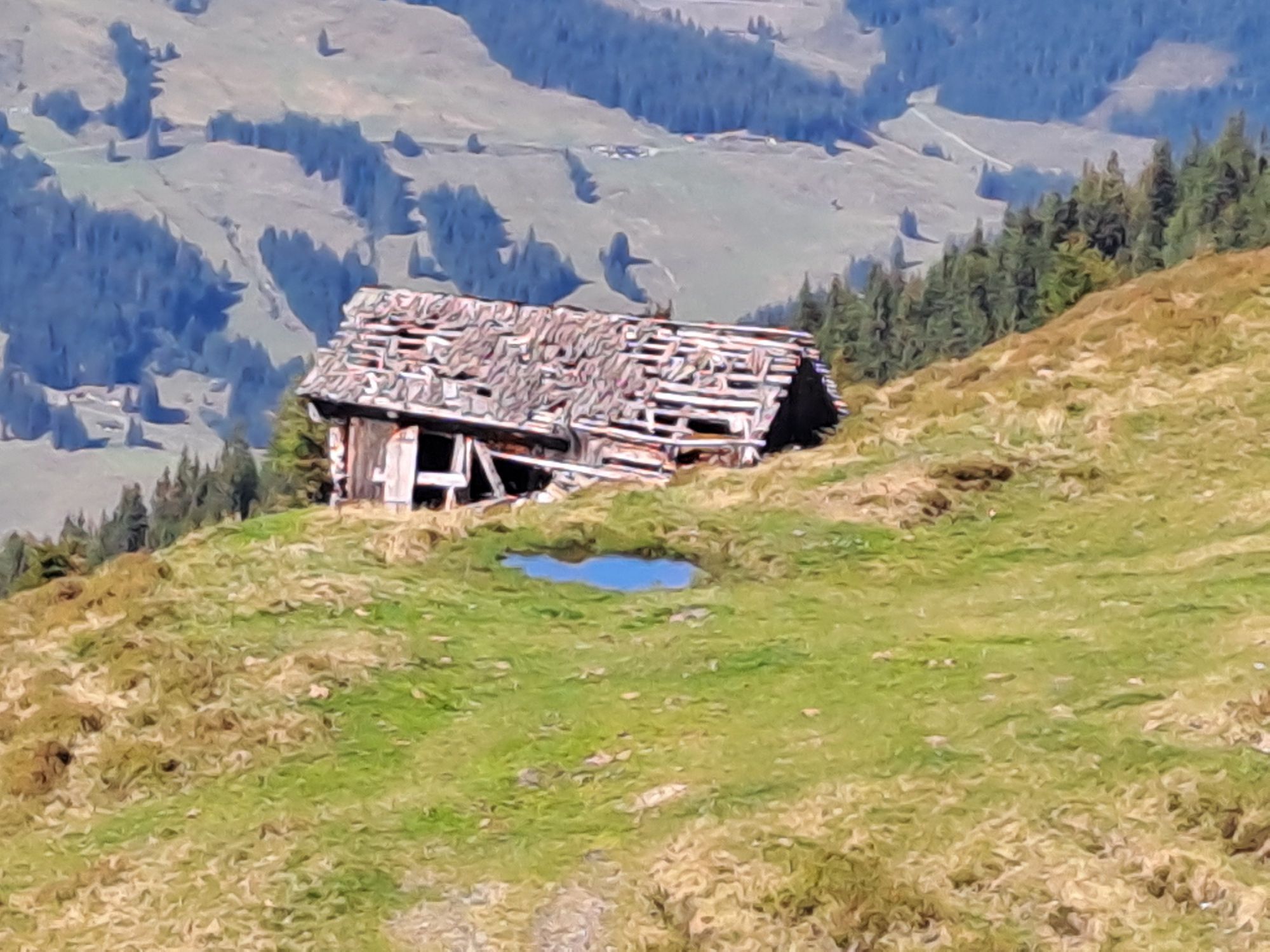
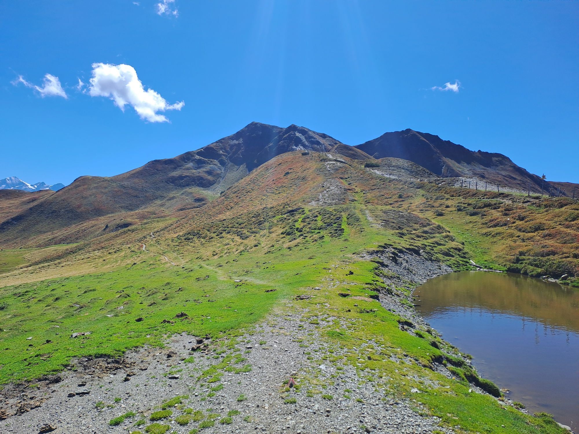
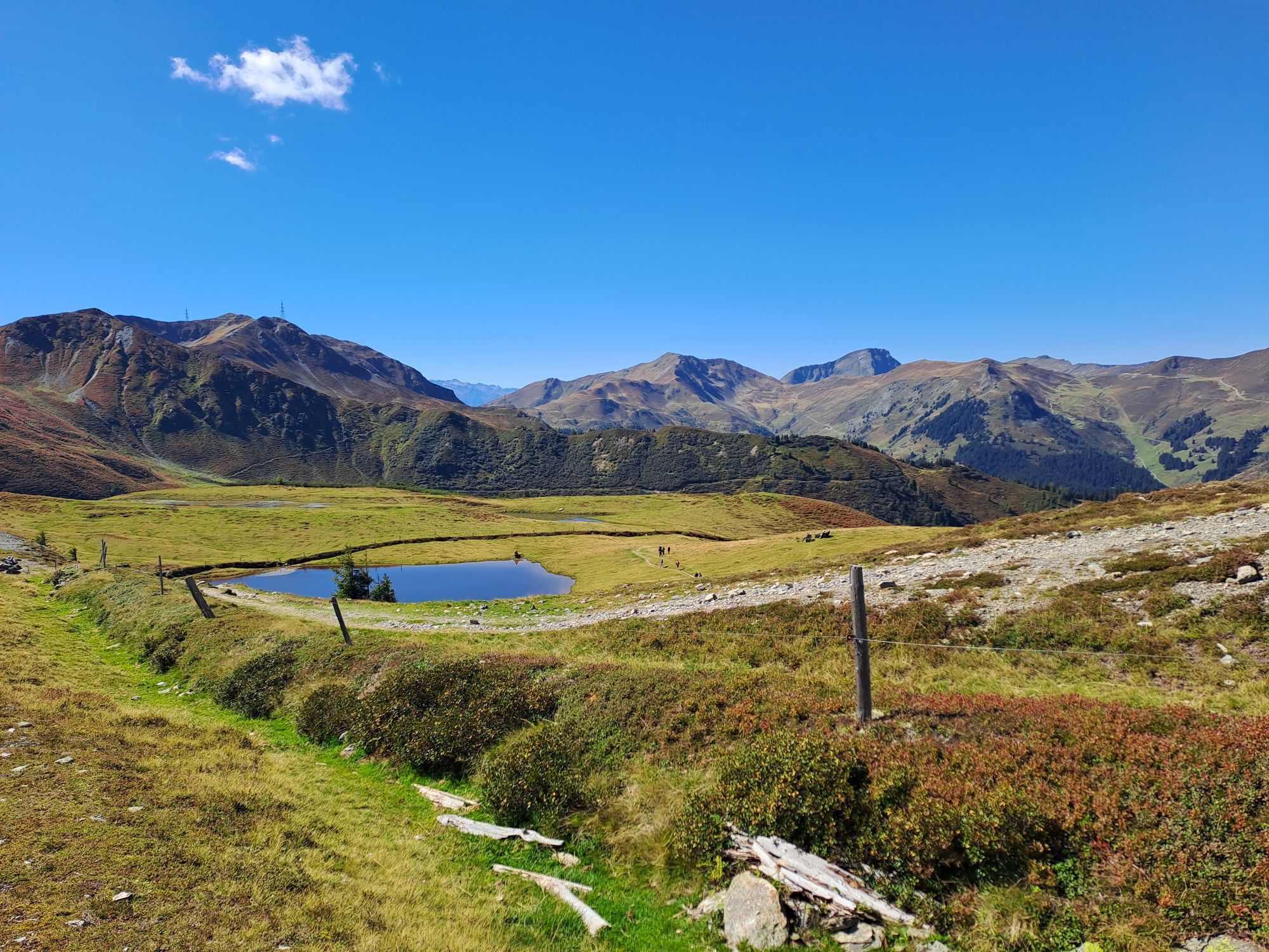
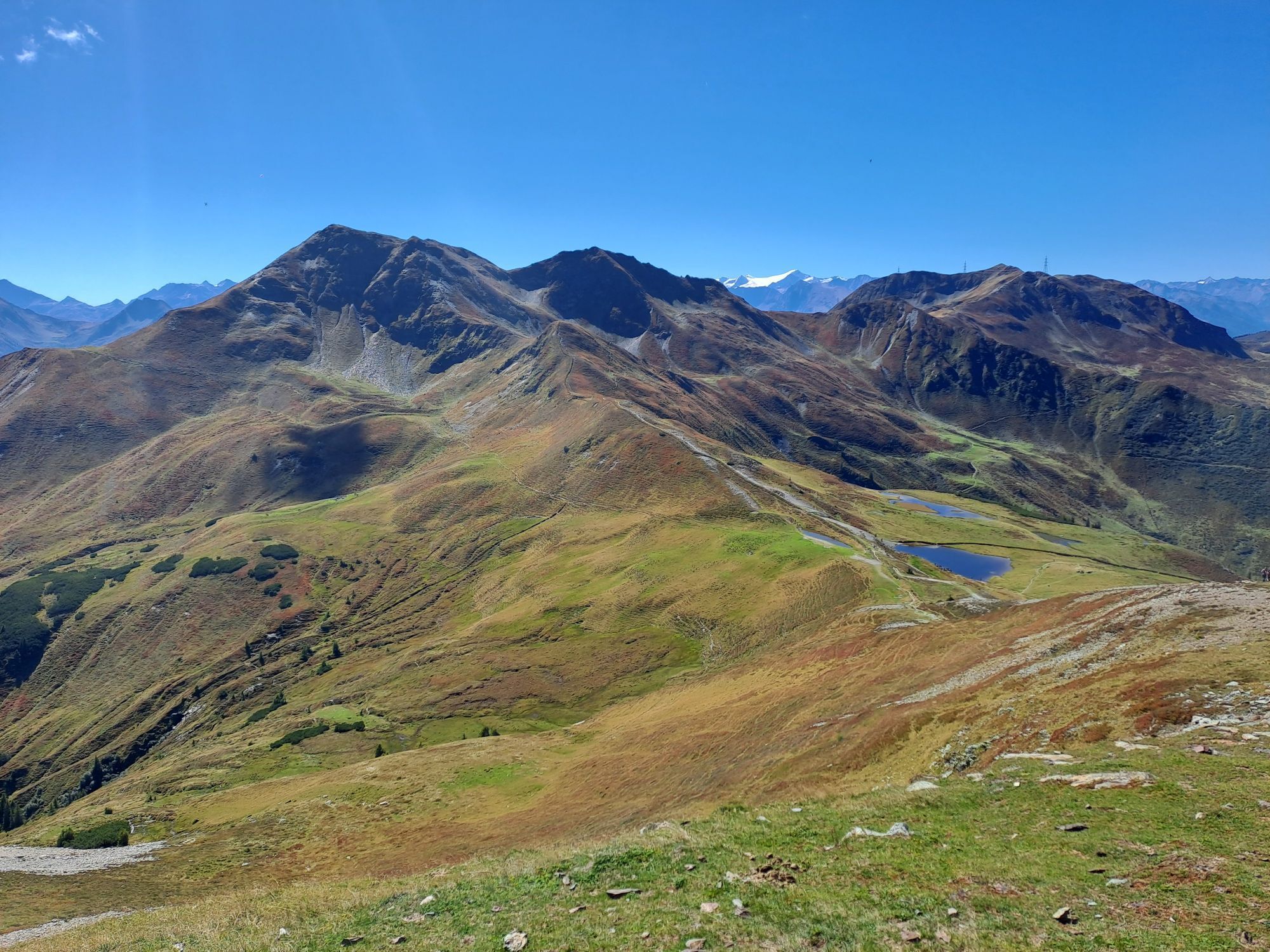
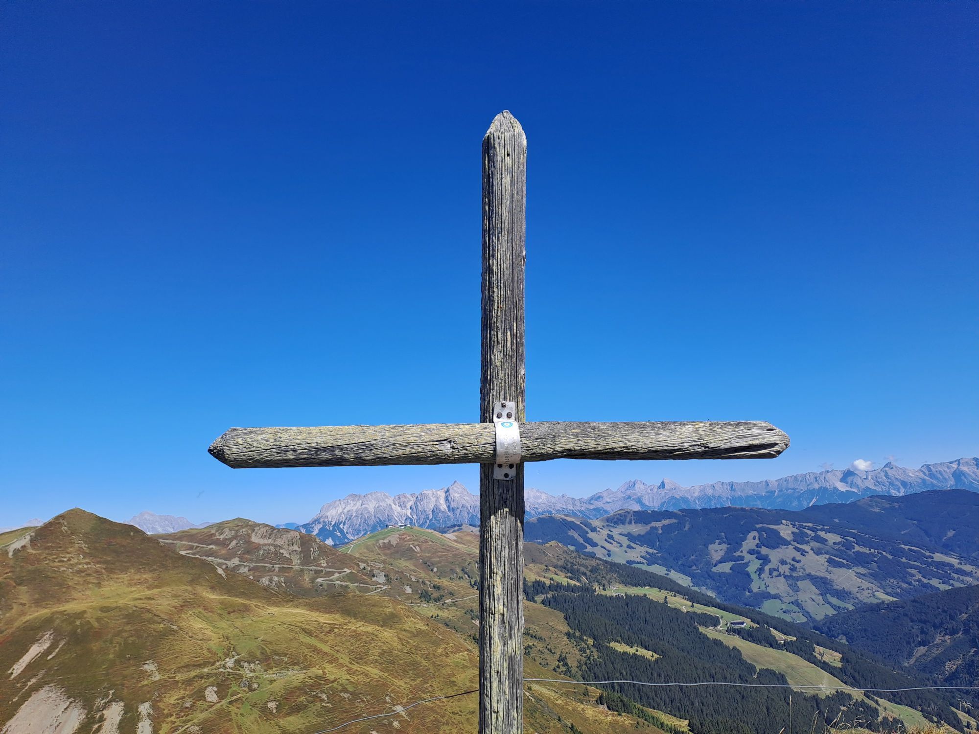
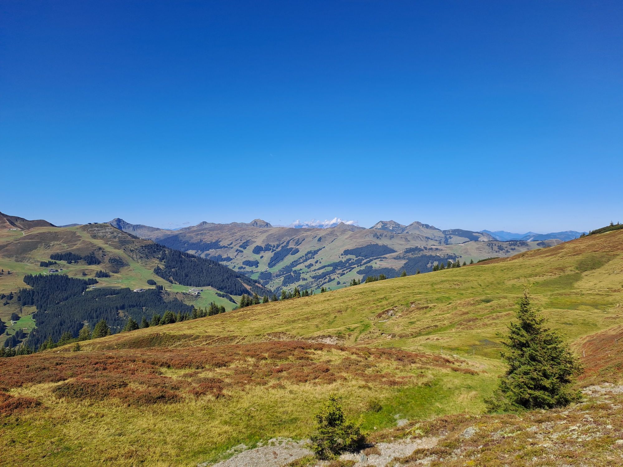
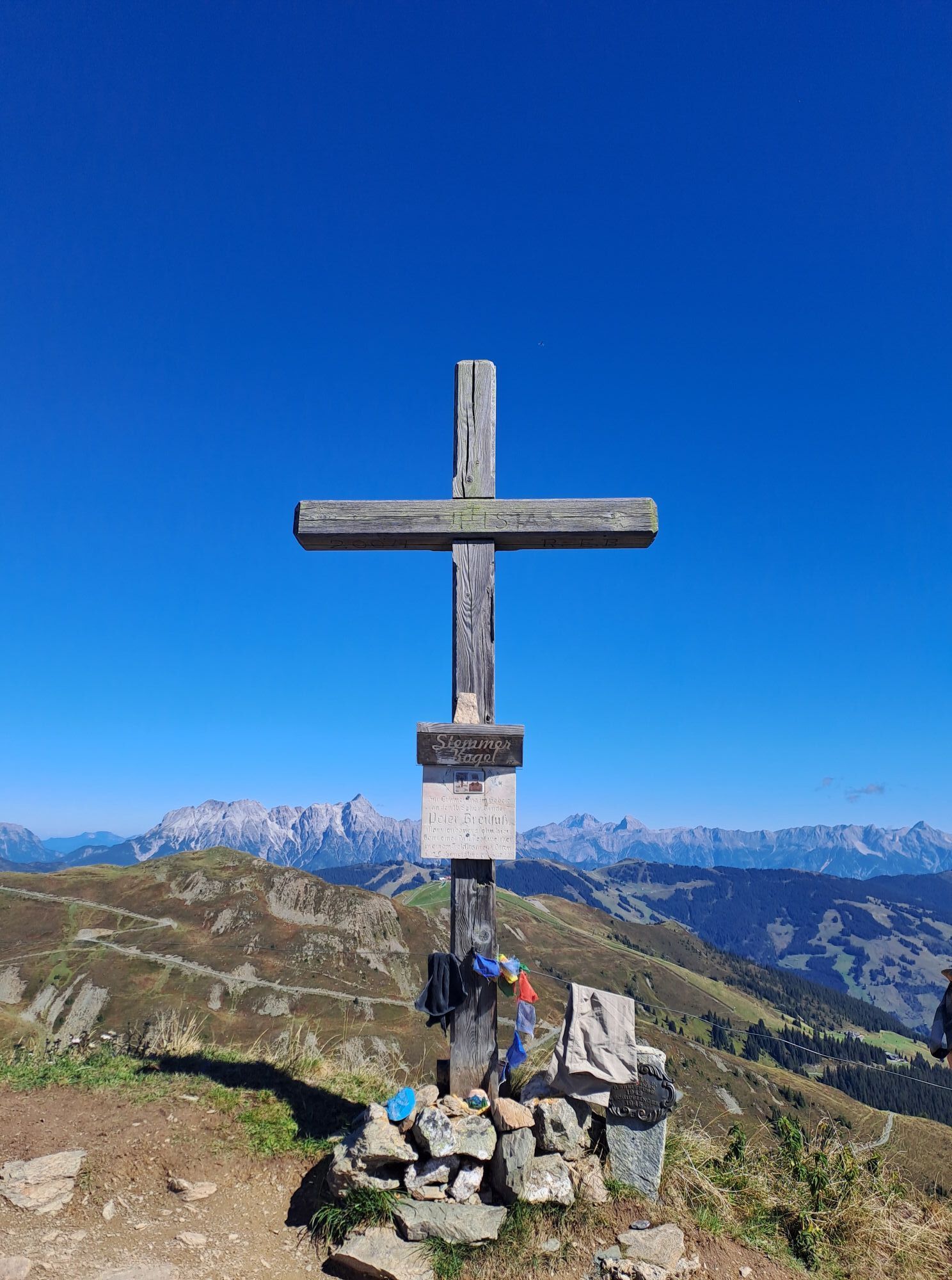
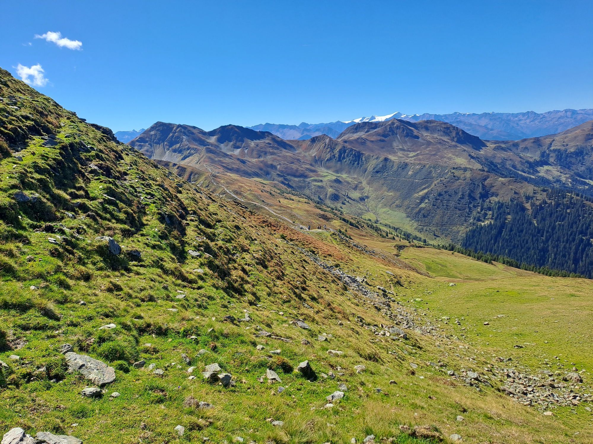
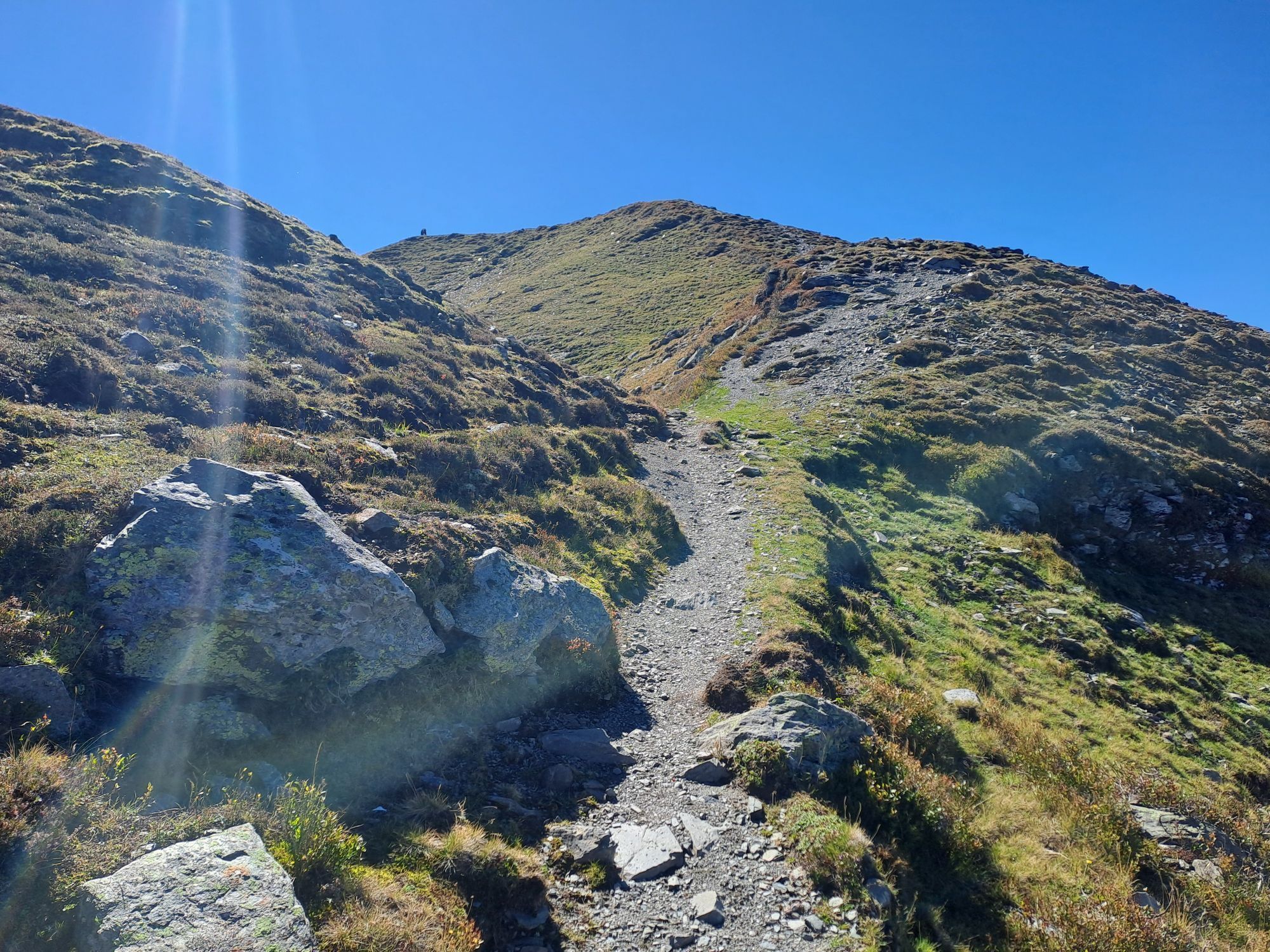
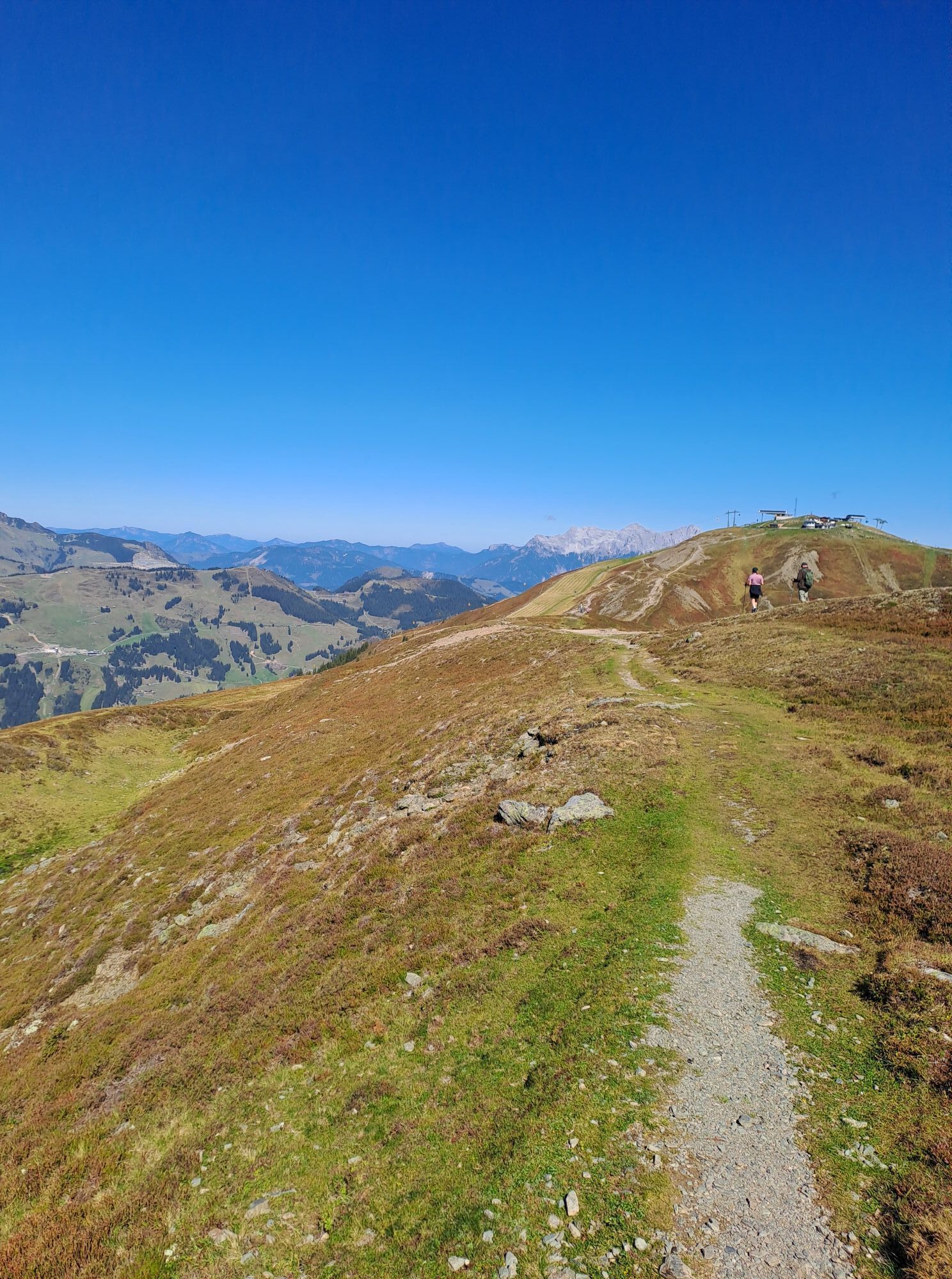
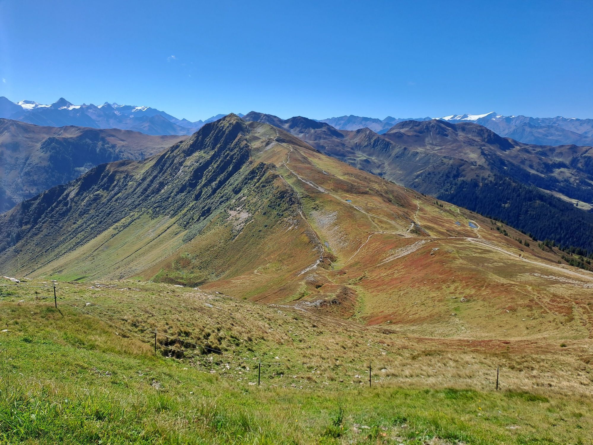
Ascent with the West summit cable car (free for JOKER CARD holders) to the Schattberg West summit. From there, start heading south, first downhill, then along the path slightly to moderately ascending to the first peak, the Stemmerkogel. A somewhat rocky descent to the southwest. Continue straight at Wegscheid until the second peak - the Saalbachkogel - is reached. From there, descend towards Seetörl (partly over scree). Leave the two Hacklberger Lakes on the left - maybe after a short break - and continue towards Hacklberger Alm. Return via the path that begins behind the Alm back to the third peak, the West summit of the Schattberg. Descent with the West summit cable car.
Ano
Ano
Don't forget good hiking boots, sun protection, and possibly poles!
Coming from Saalbach, go through the Hinterglemm Tunnel, turn left immediately after the tunnel exit, then right into Schwarzacherweg. After about 1 km, you reach the valley station of the West summit cable car.
Take the hiking bus to the Zwölferkogel stop, then about 10 minutes to the valley station of the West summit cable car.
Free parking spaces available.
T1
Especially with children, plan enough time and pay attention to the operating hours of the mountain lifts. Depending on the temperature, a little refreshment in the Hacklberger Lakes can be tempting; possibly pack a swimsuit.



Webové kamery z prohlídky

Aktivity na trase
-

Stemmerkogel, Salzburg/Österreich
27.09.2026 – Turistika -
Saalbach-Hinterglemm, Salzburg/Austria
15.09.2026 – Turistika -

Saalbach-Hinterglemm, Salzburg/Österreich
05.09.2026 – Turistika -

Schattberg West, Salzburg/Austria
03.09.2026 – Turistika -

Saalbach-Hinterglemm, Salzburg/Österreich
08.08.2026 – Turistika -

Saalbach-Hinterglemm, Salzburg/Österreich
03.08.2026 – Turistika -
Saalbach-Hinterglemm, Salzburg/Österreich
20.07.2026 – Mountainbike -

Schattberg West, Salzburg/Österreich
14.07.2026 – Downhill -

Schattberg West, Salzburg/Österreich
09.07.2026 – Turistika
Oblíbené prohlídky v okolí
-
4.2
Maurerkogel (Top)
Turistika 10.5 km -
5.0
Leo’s play hiking trail
světloTematická stezka 4.89 km -
4.1
Berg der Sinne
světloTuristika 4.39 km -
4.6
Sigmund Thun Klamm, Klammsee, Bürgkogel
světloTuristika 4.56 km -
4.6
Thumersbach, Runde um den Zeller See
světloTuristika 13.3 km -
4.9
Hochsonnberg Runde
středníMountainbike 59.8 km -
4.4
Sigmund Thun Klamm
světloTuristika 3.10 km -
4.8
Schmittenhöhe - Hochsonnbergalm - Pinzgauer Hut
středníTuristika 9.09 km -
4.3
Saalachtaler Höhenweg EAST (Asitz - Biberg)
středníTuristika 13.1 km -
4.7
Tristkogel
heavyTuristika 15.6 km
Pěší turistika a stopování


Nenechte si ujít nabídky a inspiraci pro vaši příští dovolenou
Vaše e-mailová adresa byl přidán do poštovního seznamu.





