







Winter hiking trail: Grossarl to Au/Schied

Úroveň obtížnosti: 1
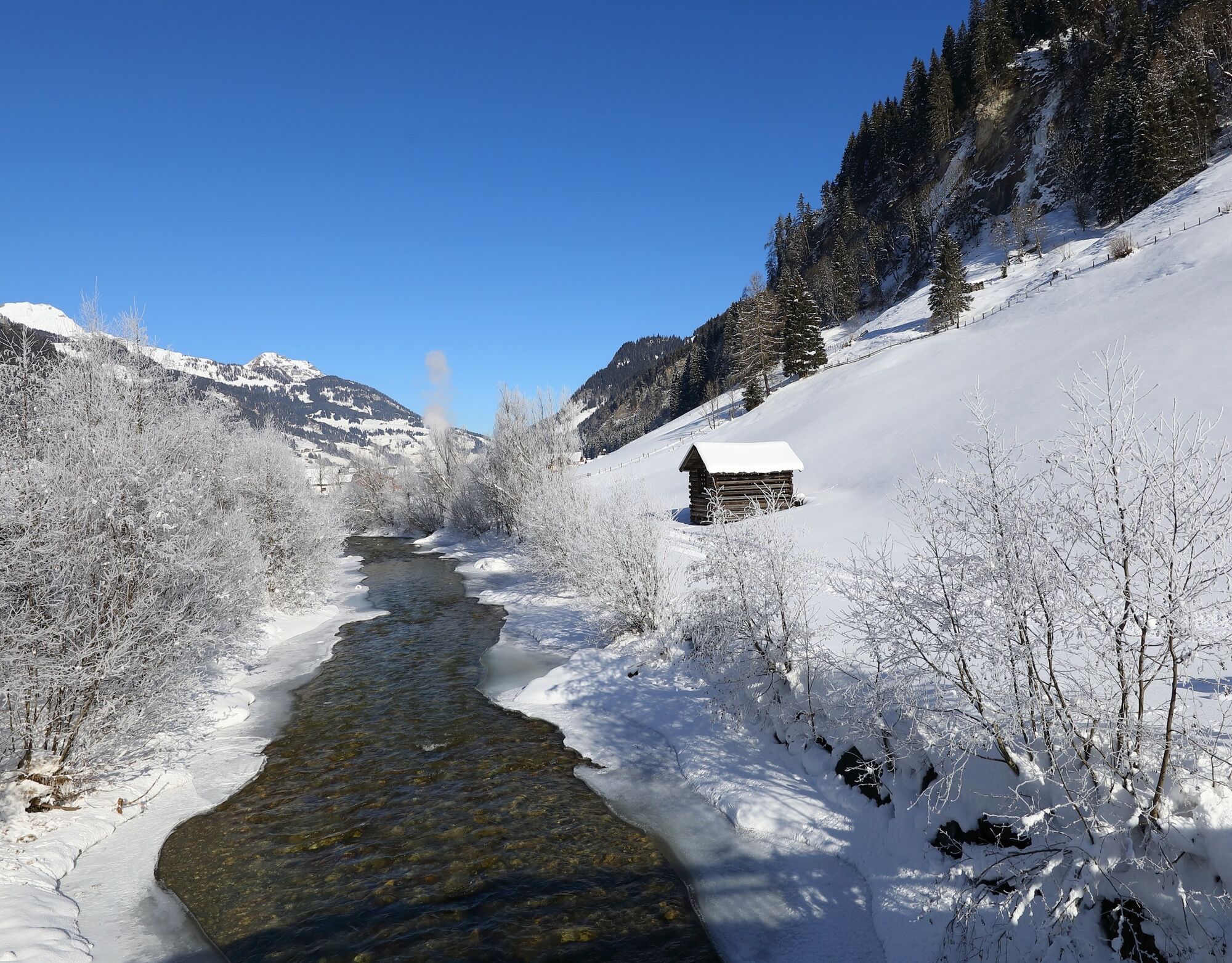
The starting point for this winter hike is the mountain railway car park in Grossarl. From here, the route leads out of the valley, always following the Grossarler Ache stream. The leisurely winter hiking...
Along the way, there are several cosy places to stop for refreshments, warm up with regional specialities and enjoy a break. Afterwards, you can return along the same route – or opt for the more comfortable option and take the Postbus back to Grossarl.
Here you can find all dining options in Grossarltal.
Please note: The section of the footpath and cycle path from Aubrücke to the Hettegger power station is temporarily closed.


Please note: The section of the footpath and cycle path from Aubrücke to the Hettegger power station is temporarily closed.
Ano
Ano
Ano
winter boots with grip sole
Go by Postbus line no. 540 to the Grossarl Sportzentrum bus stop or drive to the mountain railway car park.
Parking available at the mountain railway car park
1
Thanks to its flat terrain, this tour is also ideal for families with prams.

Webové kamery z prohlídky
-
Fulseck
-
Gernkogel - Alpendorf St. Johann
-
Hotel Lammwirt im Großarltal/Ellmautal
-
Dorfgastein - Spiegelsee
-
Bergstation 6er Sesselbahn Harbach
-
Ellmautal - Palfenhof
-
Kühhagerbahn Bergstation
-
Großarl - Ort
-
St.Johann-Alpendorf Gernkogel
-
Gernkogel - Alpendorf St. Johann
-
Dorfgastein - Spiegelsee
-
Dorfgastein - Spiegelsee
-
Dorfgastein - Spiegelsee
-
Dorfgastein - Spiegelsee
-
Großarl - Kieserlbahn
-
Grossarl - Hotel Gasthof Schützenhof
-
Großarl - Hotel Kristall Übungslift
-
Bergstation Kieserl
-
Fulseck
-
Fulseck
-
Fulseck
-
Fulseck
-
Fulseck
-
Fulseck
-
Fulseck
-
Großarl

Oblíbené prohlídky v okolí
-
4.9
Großarl: Heukareck
středníTuristika 12.5 km -
4.2
Tappenkarsee Kleinarl
středníTuristika 9.11 km -
4.8
Großarl: Himmelsroute
středníTuristika 5.41 km -
4.7
Großarl: Mooslehenalm – Niggeltalalm – Viehhausalm
středníTuristika 5.44 km -
4.6
Panorama hike to the Hochkeil
středníTuristika 6.07 km -
4.6
Grießenkareck
středníTuristika 4.89 km -
4.7
Großarl: Saukaralm - Saukarkopf - Gerstreitalm
středníTuristika 9.39 km -
4.8
Großarl: Bichlalm
středníMountainbike 18.9 km -
4.4
Ennskraxn (2410m)
heavyTuristika 14.7 km -
4.9
Bad Gastein - Poserhöhe - Gamskarkogel
heavyTuristika 18.6 km
Pěší turistika a stopování


Nenechte si ujít nabídky a inspiraci pro vaši příští dovolenou
Vaše e-mailová adresa byl přidán do poštovního seznamu.





